South Melbourne - photos
South Melbourne
Stay
See and do
Food and drink
Shopping
Getting around
Visitor information
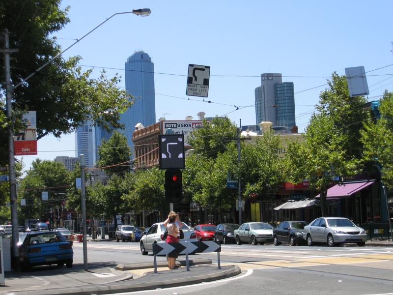
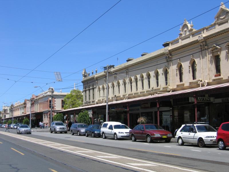
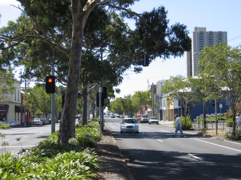
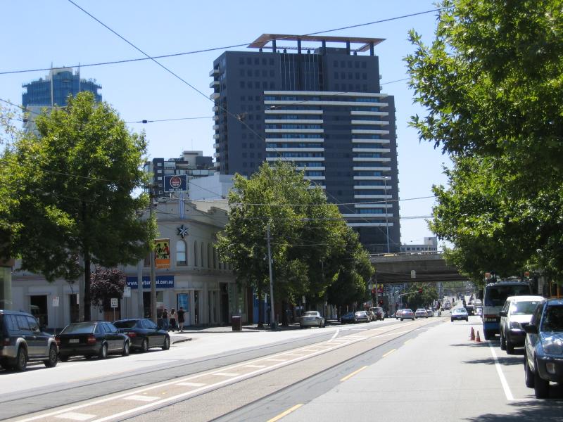 Clarendon Street area and commercial centre - View north along Clarendon St towards Market St
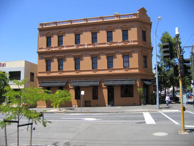 Clarendon Street area and commercial centre - Clarendon Hotel, corner Clarendon St and York St
 Clarendon Street area and commercial centre - View south along Clarendon St between York St and Coventry St
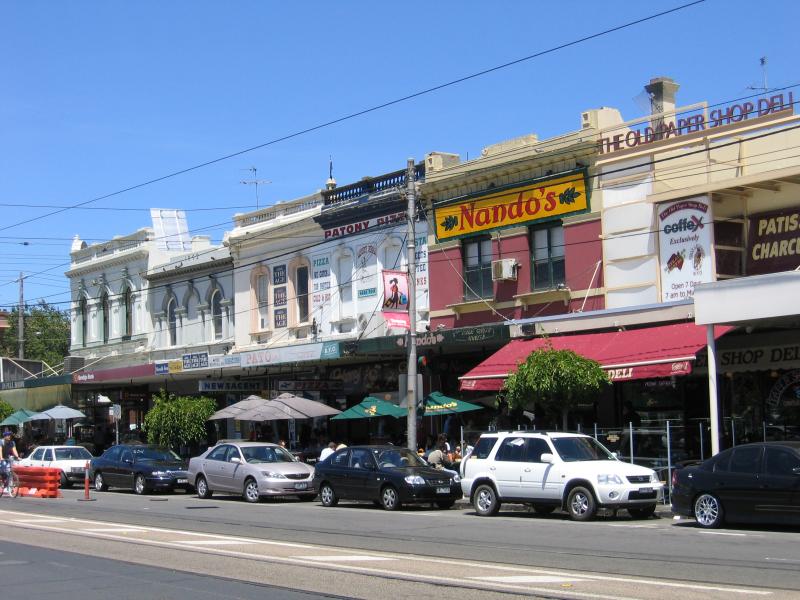
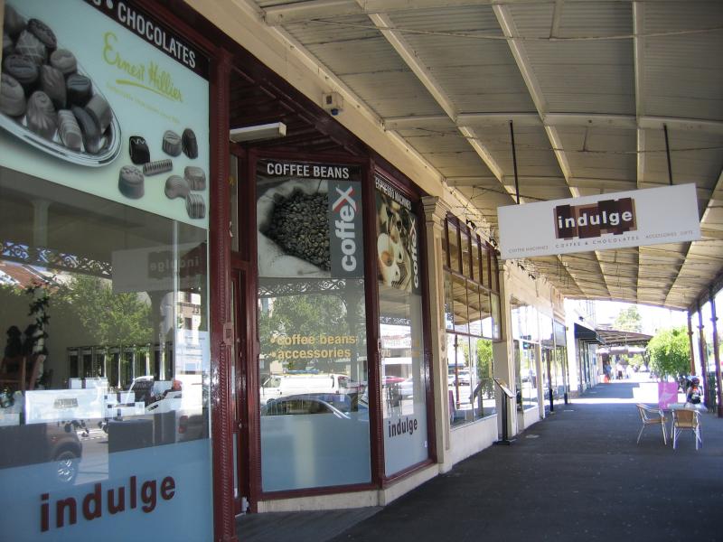
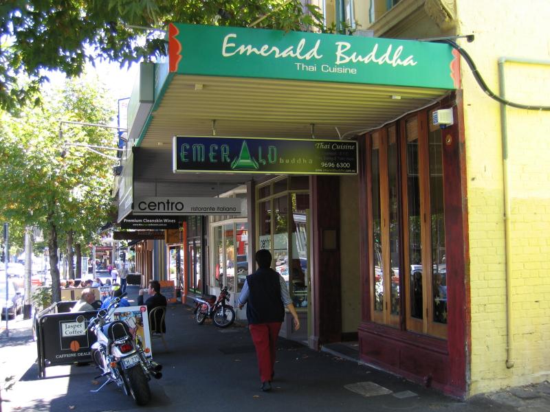 Clarendon Street area and commercial centre - Restaurants, Clarendon St between York St and Coventry St
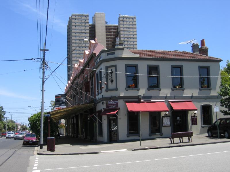
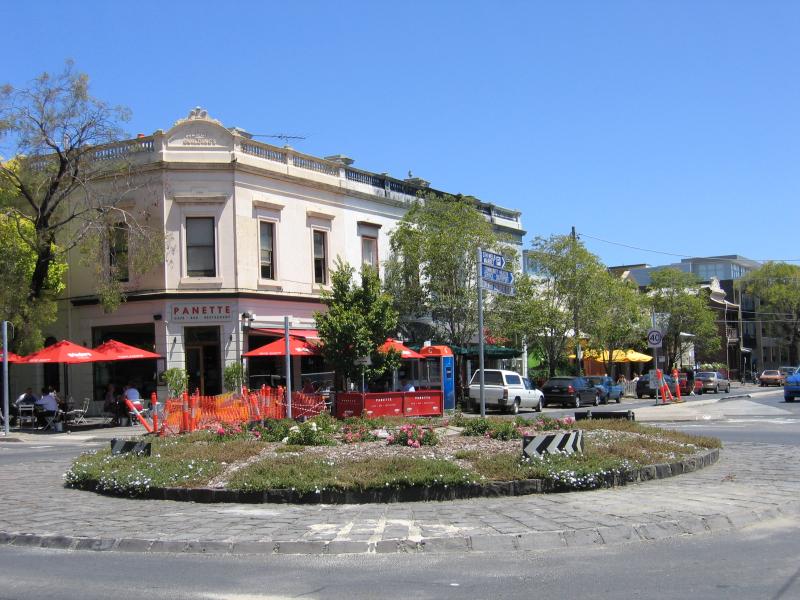
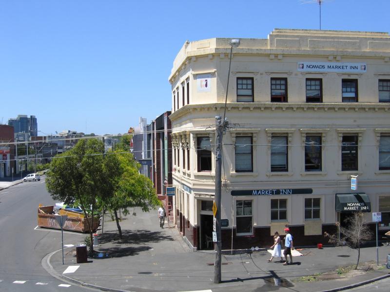
 Clarendon Street area and commercial centre - View north along Clarendon St at Coventry St
 Clarendon Street area and commercial centre - Coles supermarket, Clarendon St between Coventry St and Dorcas St
 Clarendon Street area and commercial centre - View south along Clarendon St between Coventry St and Dorcas St
 Clarendon Street area and commercial centre - View south along Clarendon St at Dorcas St
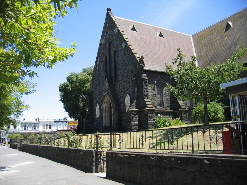 Clarendon Street area and commercial centre - St Lukes Anglican Church, corner Dorcas St and Clarendon St
 Clarendon Street area and commercial centre - View south along Clarendon St between Dorcas St and Bank St
 Clarendon Street area and commercial centre - View west along Bank St at Clarendon St
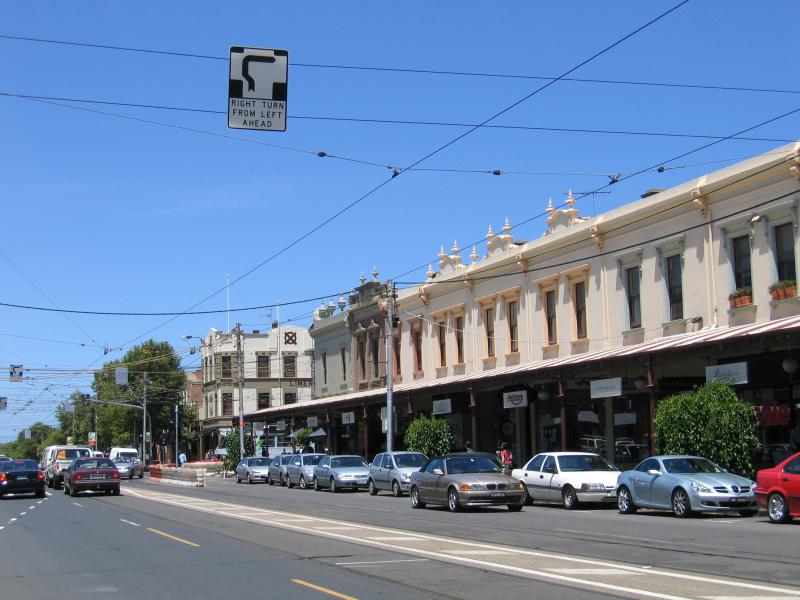 Clarendon Street area and commercial centre - View south along Clarendon St between Bank St and Park St
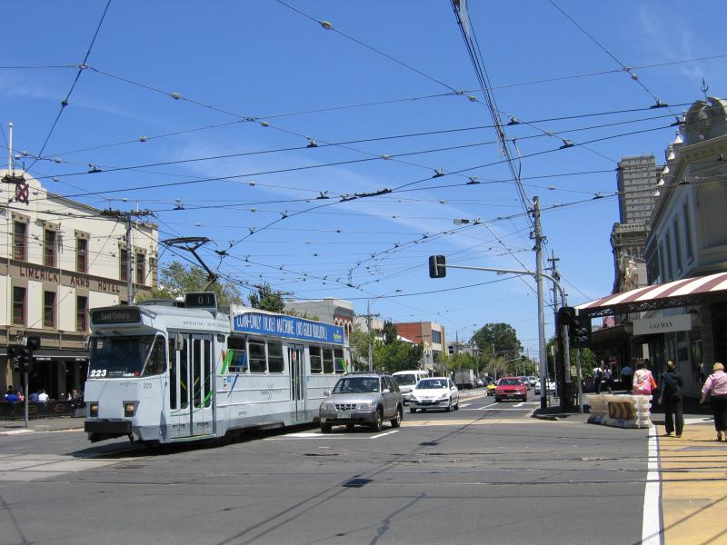
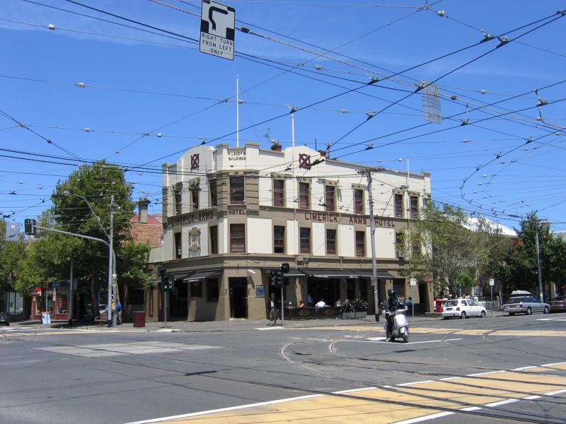 Clarendon Street area and commercial centre - Limerick Arms Hotel, corner Clarendon St and Park St
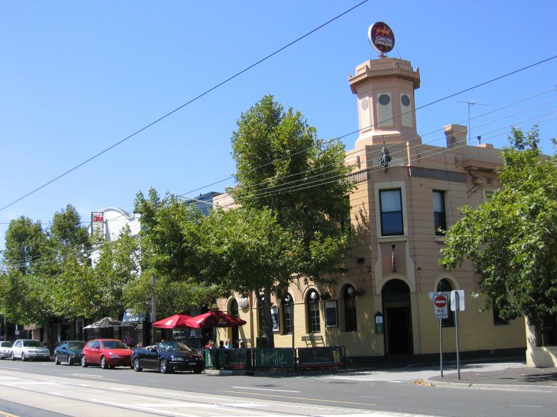 Clarendon Street area and commercial centre - Cricket Club Hotel, corner Clarendon St and Thomas St
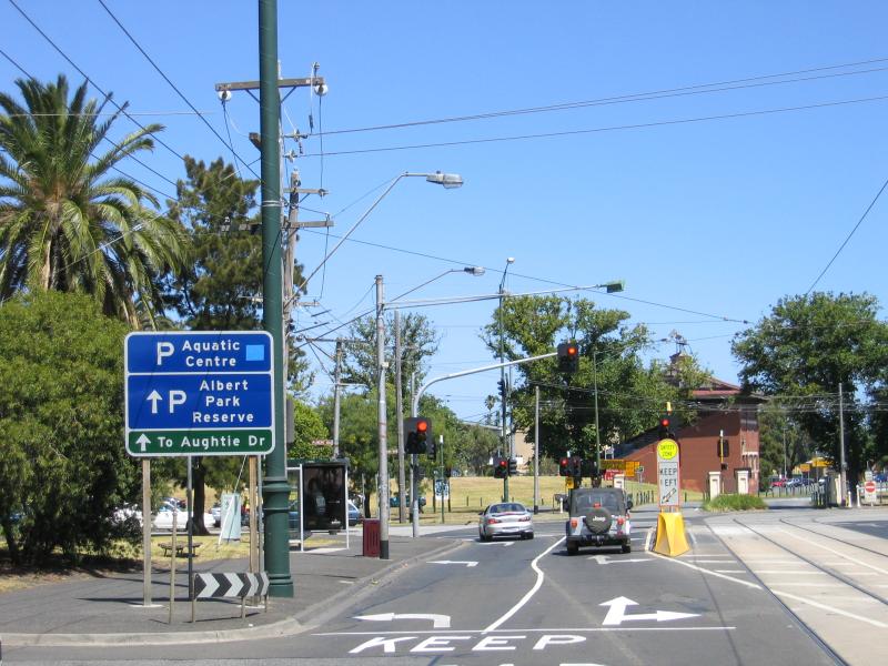 Clarendon Street area and commercial centre - View south along Clarendon St towards Albert Rd
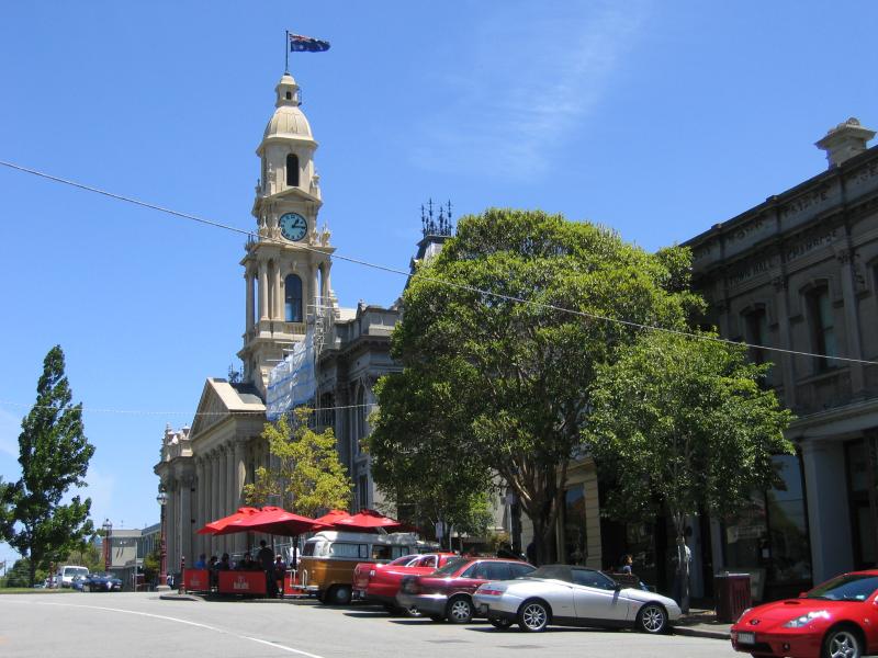 South Melbourne Town Hall and surroundings, Bank Street - View west along Bank St towards Town Hall
 South Melbourne Town Hall and surroundings, Bank Street - View north along Perrins St towards Bank St and Town Hall
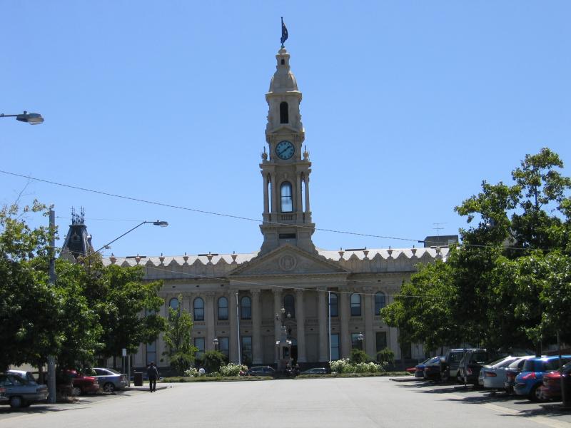
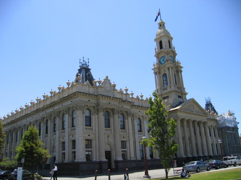
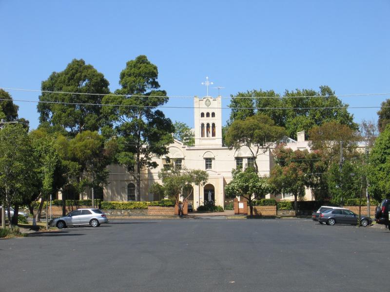
 South Melbourne Town Hall and surroundings, Bank Street - South Melbourne Town Hall, Bank St
 South Melbourne Town Hall and surroundings, Bank Street - Gardens in front of Town Hall, Bank St
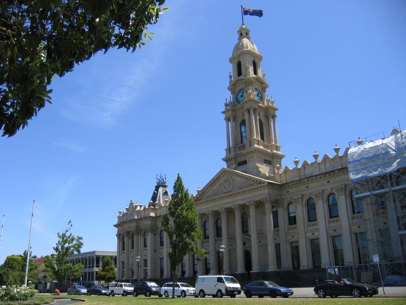
 South Melbourne Town Hall and surroundings, Bank Street - Town Hall viewed from corner of Bank St and Fishley St
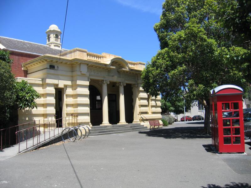 South Melbourne Town Hall and surroundings, Bank Street - Post Office, corner Bank St and Perrins St
 South Melbourne Town Hall and surroundings, Bank Street - View east along Bank St at Layfield St
 South Melbourne Town Hall and surroundings, Bank Street - View west along Bank St at Perrins St
 Park Street area - View east along Park St at Eastern Rd
 Park Street area - View north along Eastern Rd at Park St
 Park Street area - Gardens, Park St between Heather St and Eastern Rd
 Park Street area - View west along Park St at Clarendon St
 Park Street area - View west along Park St at Clarendon St
 Park Street area - Shops, Park St between Clarendon St and Perrins St
 Park Street area - View west along Park St at Perrins St
 Park Street area - View south along tram line, Park St near Ferrars St
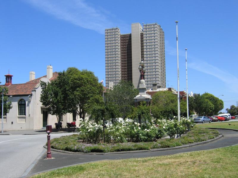
 Park Street area - View east along Park St at Ferrars St towards Park Towers apartment block
 South Melbourne Market - View of market, corner Cecil St and York St
 South Melbourne Market - View of market from Coventry St
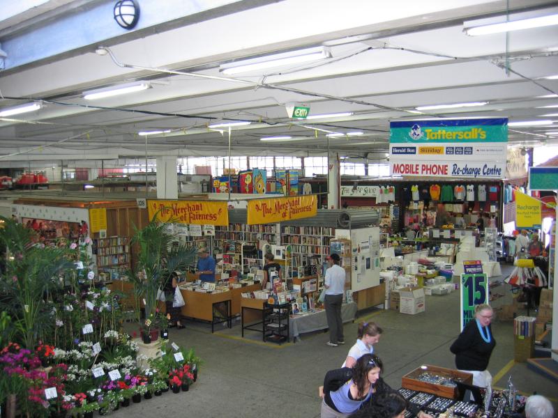
 South Melbourne Market - Food hall
 South Melbourne Market - Market stalls
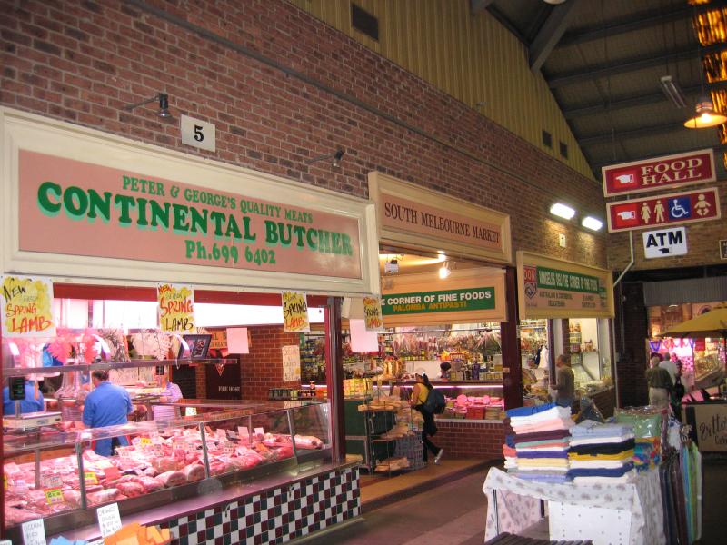
 South Melbourne Market - Meat section
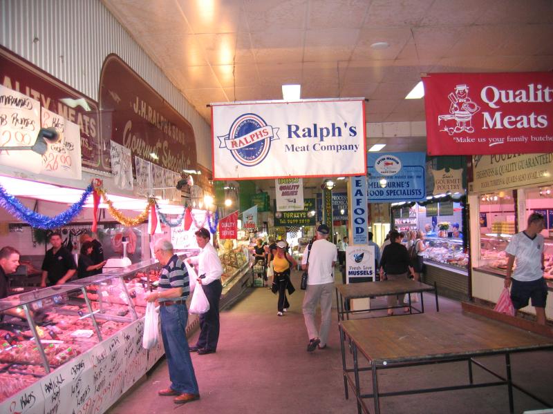
 South Melbourne Market - Meat and deli section
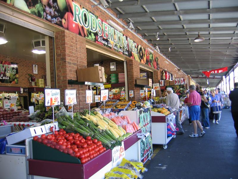 South Melbourne Market - Fruit vendors, Coventry St
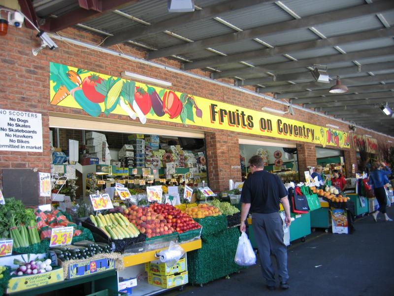 South Melbourne Market - Fruit vendors, Coventry St
 Around South Melbourne Market - York Street and Cecil Street - View west along Coventry St at Cecil St
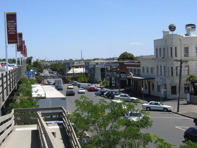 Around South Melbourne Market - York Street and Cecil Street - View west along York St from market rooftop car park
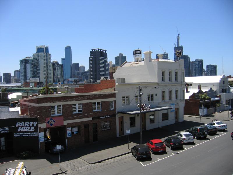 Around South Melbourne Market - York Street and Cecil Street - View north across York St towards city from market rooftop car park
 Around South Melbourne Market - York Street and Cecil Street - View north along Cecil St at York St
 Around South Melbourne Market - York Street and Cecil Street - View east along York St at Cecil St
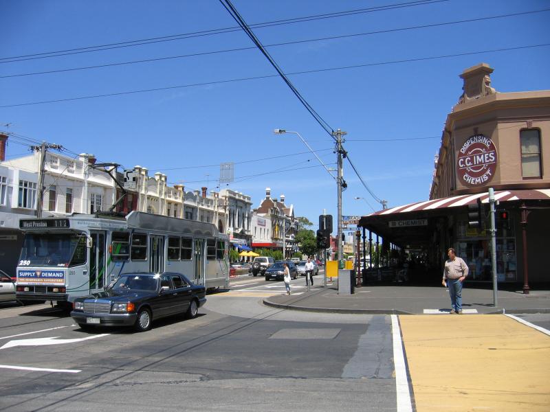
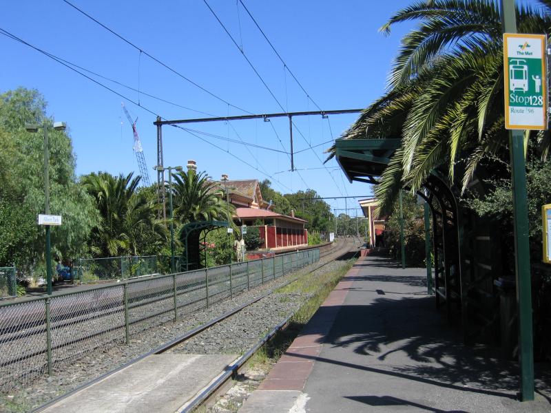
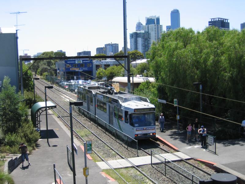 South Melbourne tram station - View north along tram line from footbridge
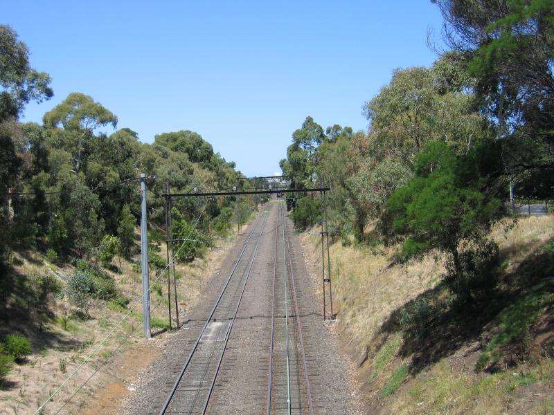
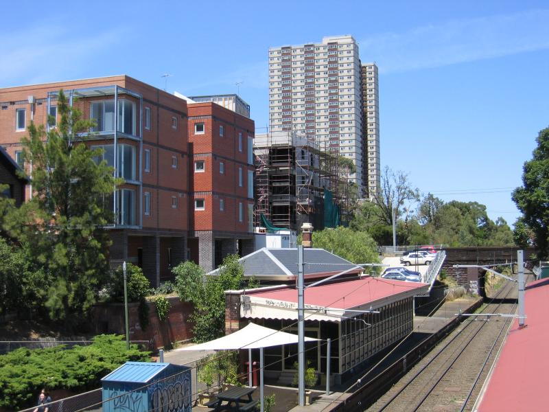 South Melbourne tram station - View south along tram line
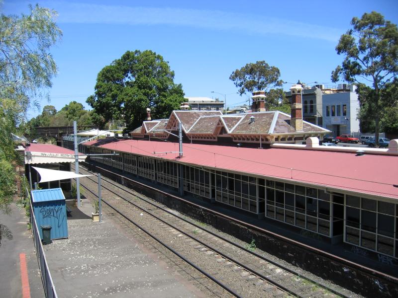 South Melbourne tram station - View south along tram line
 South Melbourne tram station - View east towards Coventry St and South Melbourne Market from footbridge
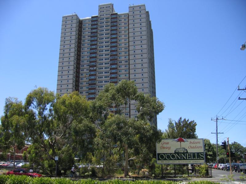
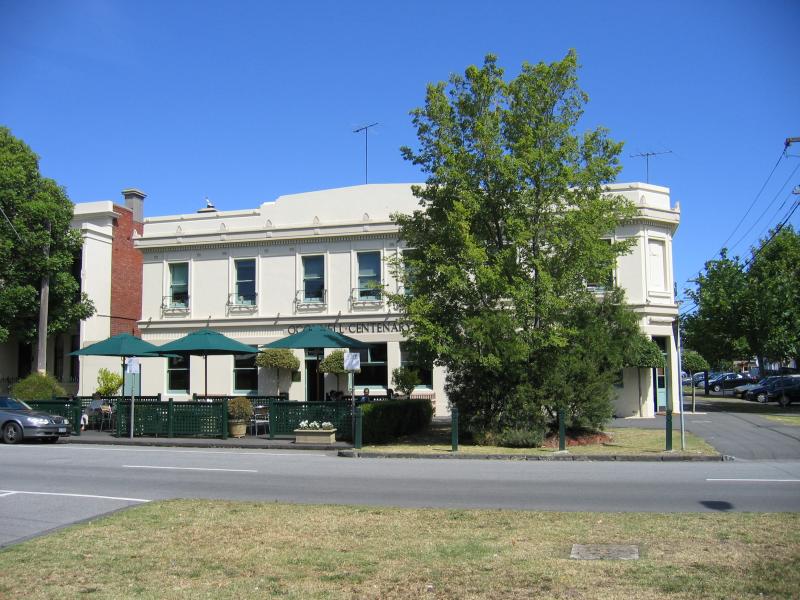 Coventry Street near Montague Street - O'Connell Centenary Hotel, corner Coventry St and Montague St
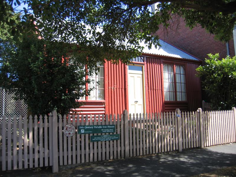 Coventry Street near Montague Street - 19th century Portable Iron House, Coventry St
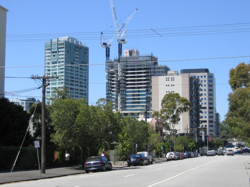
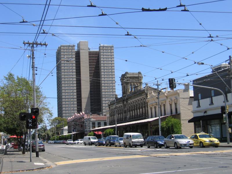
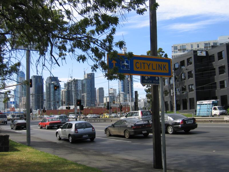
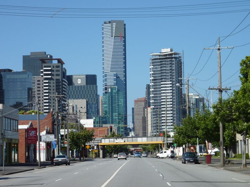 City Road - View north-east along City Rd towards Ferrars St and Eureka Tower
 Ferrars Street area - View south along Ferrars St towards Dorcas St
 Ferrars Street area - View north along Ferrars St towards Bridport St
 Ferrars Street area - View north along Ferrars St towards Albert Park tram station and Garden of Eden Nursery
 Ferrars Street area - Albert Park tram station
 Ferrars Street area - View south along Ferrars St towards Albert Rd
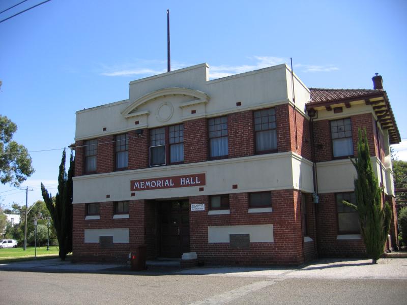 Anzac Gardens and surroundings, Ferrars Place - Memorial Hall, Ferrars Pl opposite James Service Pl
 Anzac Gardens and surroundings, Ferrars Place - View north through Anzac Gardens
 Anzac Gardens and surroundings, Ferrars Place - View north through Anzac Gardens towards Ferrars Pl
 Anzac Gardens and surroundings, Ferrars Place - View east along James Service Pl towards MacKillop Family Services on Cecil St
 Albert Road area bordering Albert Park - View south-west along Albert Rd towards Sports House and Ferrars St
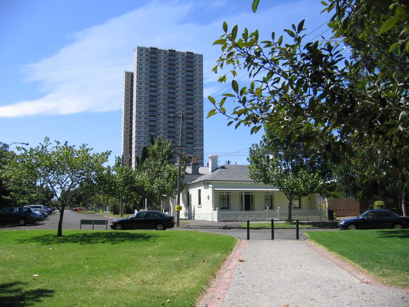
 Albert Road area bordering Albert Park - View north-east along Albert Rd at Clarendon St
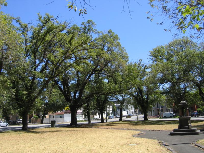
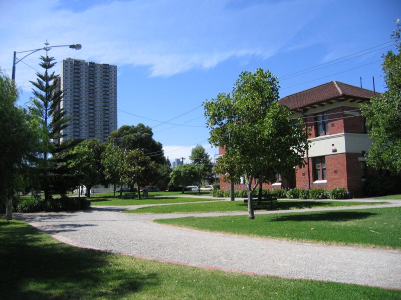
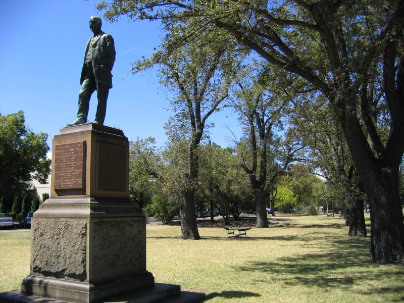 Albert Road area bordering Albert Park - H.H. Skinner memorial statue at gardens on corner of Clarendon St and Albert Rd
 Albert Road area bordering Albert Park - View north-east along Albert Rd at Moray St
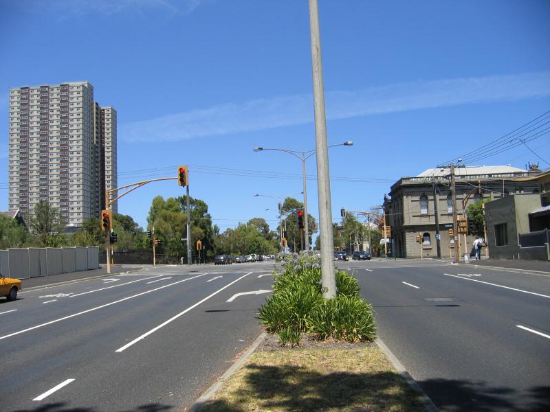
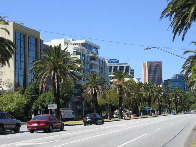
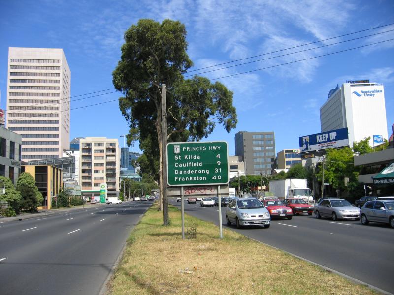
 Kings Way area - View north-west along Kings Way towards Sturt St
 Kings Way area - View south-east along Kings Way at Sturt St
 Kings Way area - View south-east along Kings Way at Kings Pl
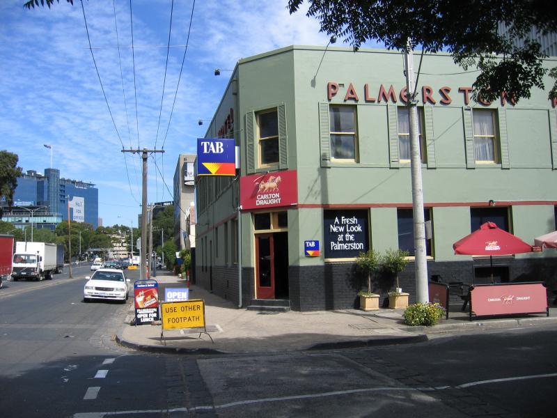 Kings Way area - Palmerston Hotel, corner Palmerston Cr and Kings Way
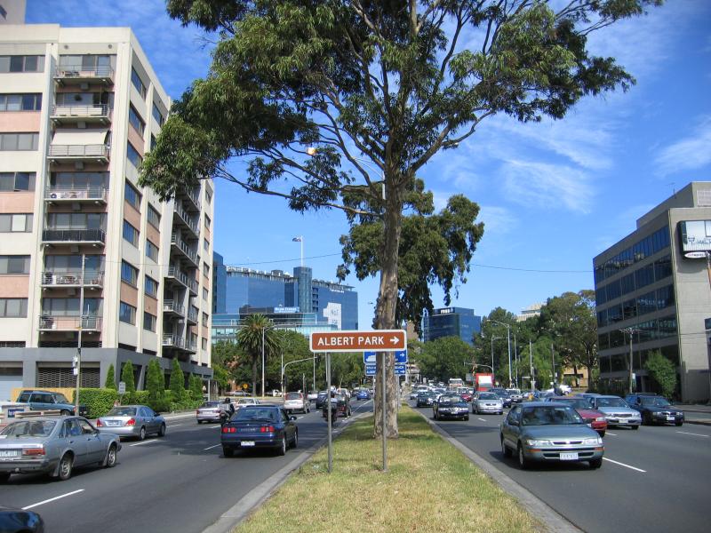 Kings Way area - View south-east along Kings Way towards Albert Rd
 Kings Way area - View south-east along Kings Way towards Albert Rd