Talbot - photos
Talbot
Stay
See and do
Food and drink
Shopping
Getting around
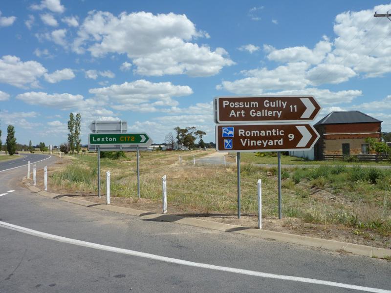
Visitor information
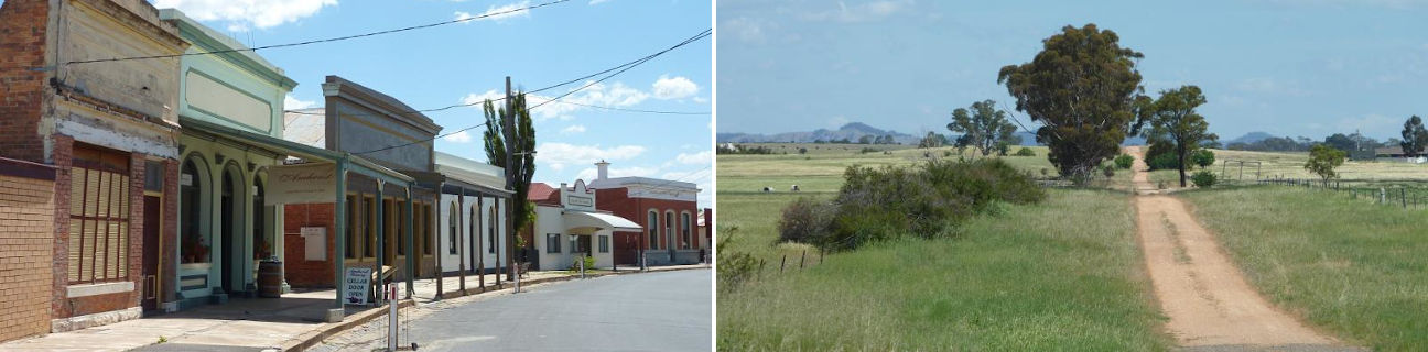
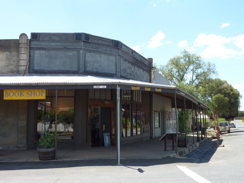 Shops and commercial centre along Scandinavian Crescent - Bookshop on corner of Scandinavian Cr and Camp St
 Shops and commercial centre along Scandinavian Crescent - Corner of Scandinavian Cr and Camp St
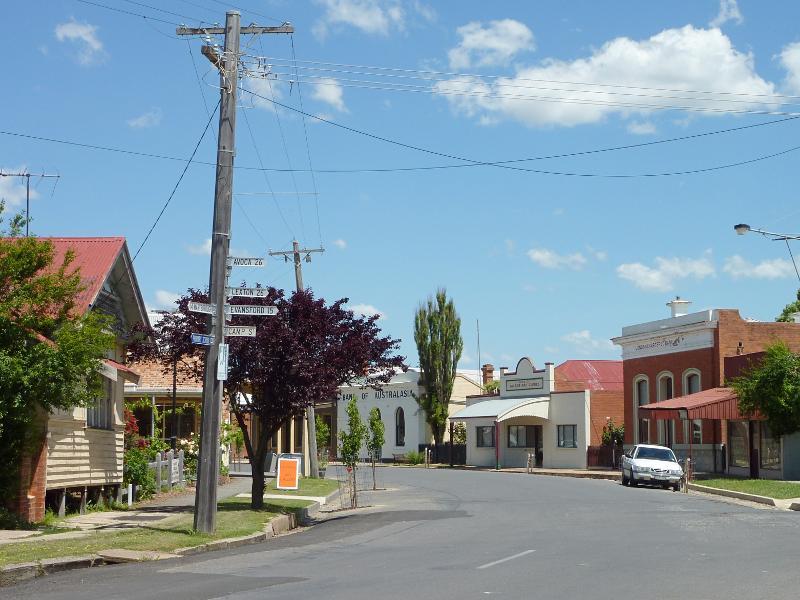 Shops and commercial centre along Scandinavian Crescent - View south along Scandinavian Cr at Camp St
 Shops and commercial centre along Scandinavian Crescent - View south along Scandinavian Cr, south of Camp St
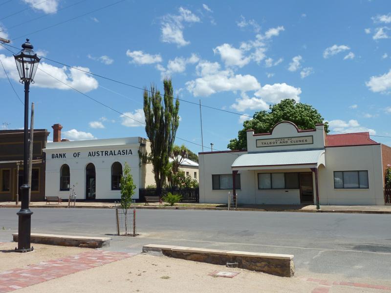 Shops and commercial centre along Scandinavian Crescent - View west across Scandinavian Cr, south of Camp St
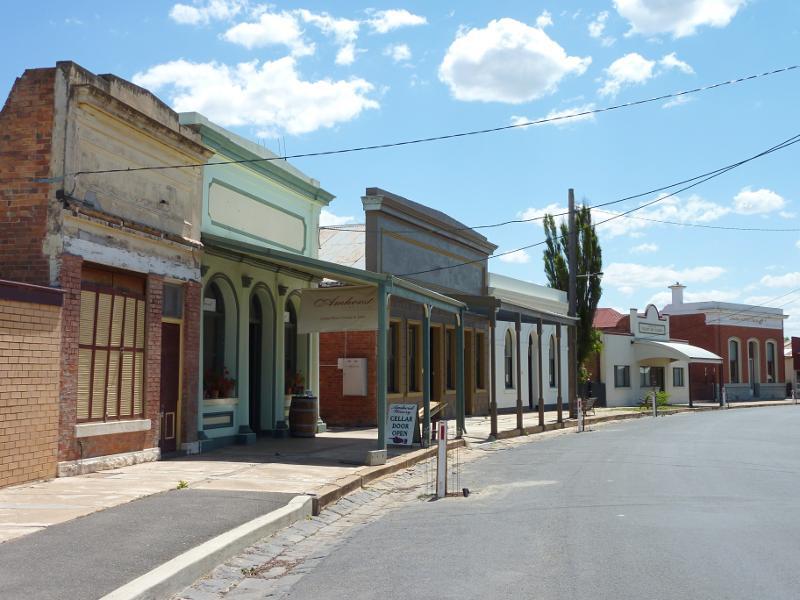 Shops and commercial centre along Scandinavian Crescent - View north-west along Scandinavian Cr, just south of Fyfe St
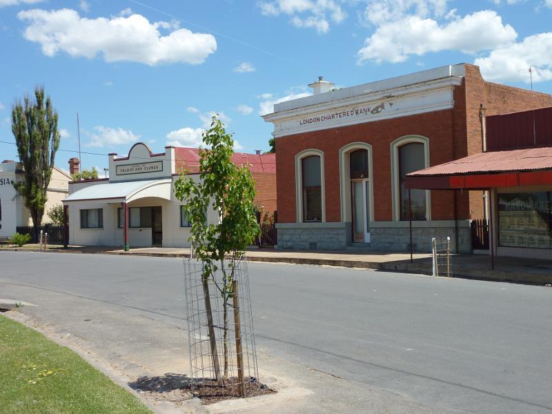
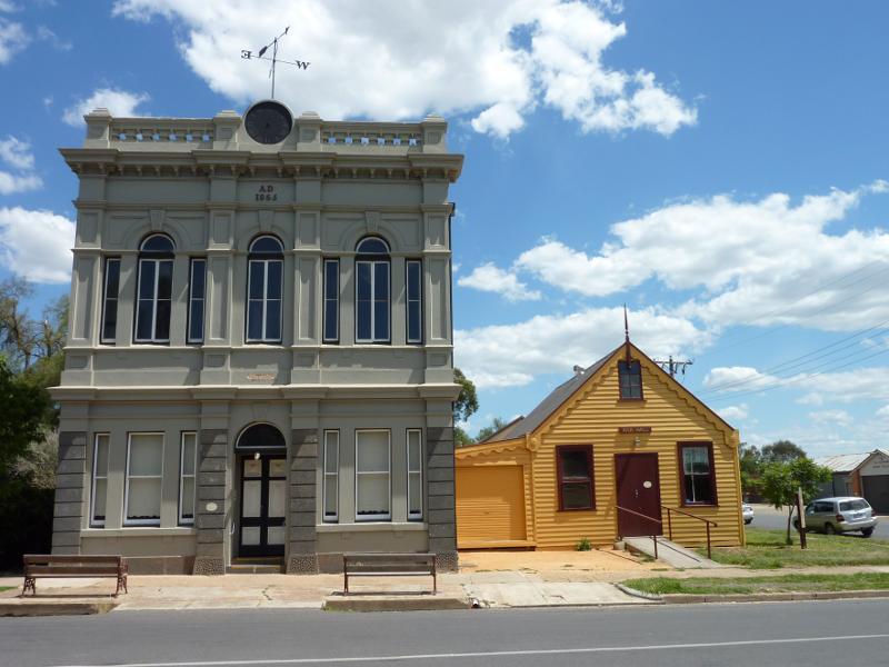
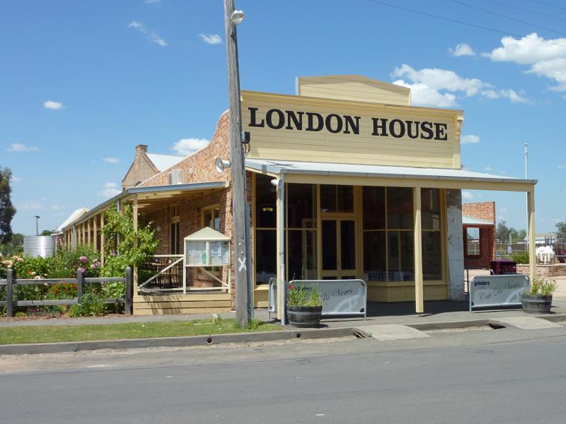 Shops and commercial centre along Scandinavian Crescent - London House, east side of Scandinavian Cr
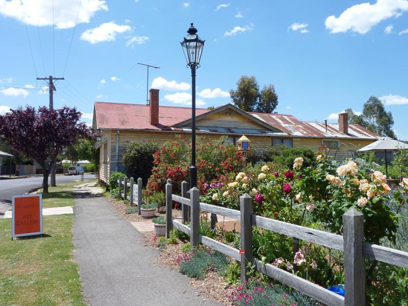 Shops and commercial centre along Scandinavian Crescent - Garden at London House facing Scandinavian Cr
 Shops and commercial centre along Scandinavian Crescent - Garden along side of London House
 Shops and commercial centre along Scandinavian Crescent - Community Centre, corner Scandinavian Cr and Fyfe St
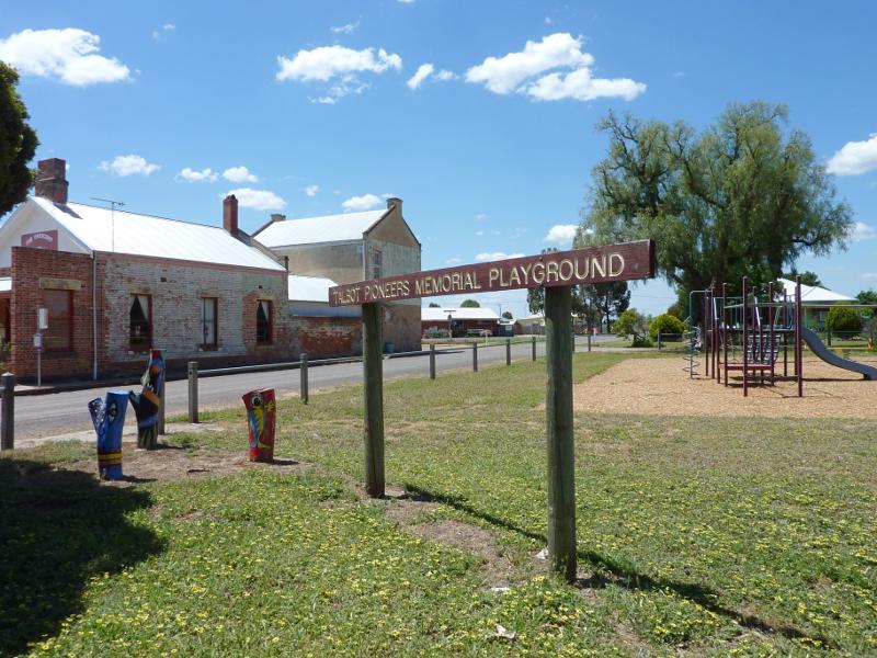 Shops and commercial centre along Scandinavian Crescent - Talbot Pioneers Memorial Playground, corner Scandinavian Cr and Fyfe St
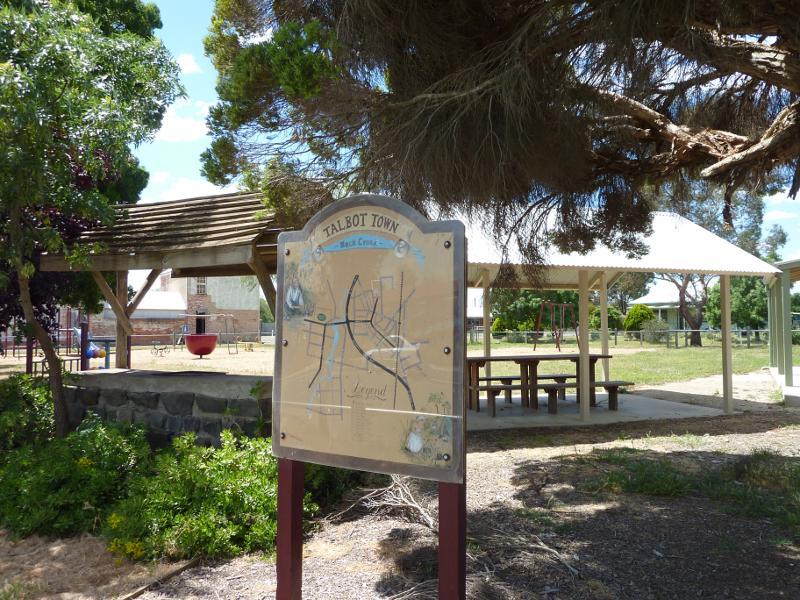 Shops and commercial centre along Scandinavian Crescent - BBQ shelter, Talbot Pioneers Memorial Playground viewed from Scandinavian Cr
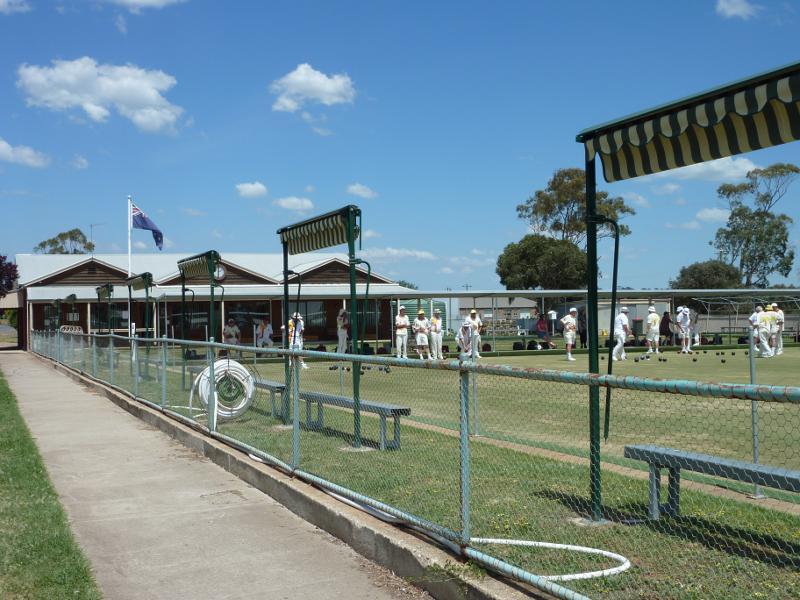 Shops and commercial centre along Scandinavian Crescent - Lawn bowls club, corner Scandinavian Cr and Bell St
 Camp Street - View east along Camp St at Heales St
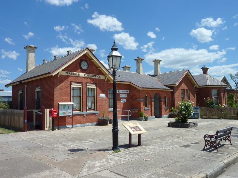 Camp Street - Talbot Post Office, corner Camp St and Heales St
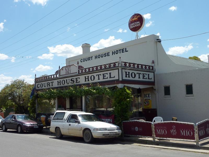 Camp Street - Court House Hotel, Camp St west of Heales St
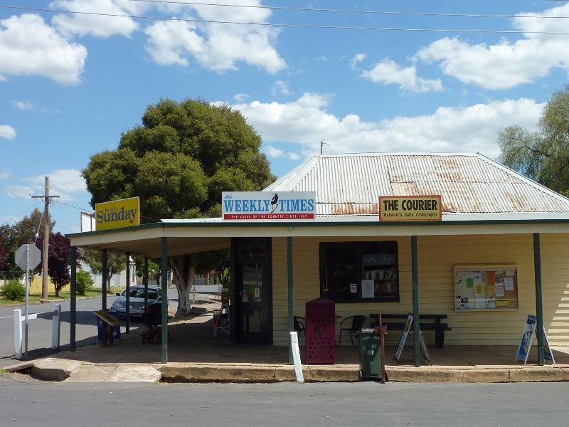
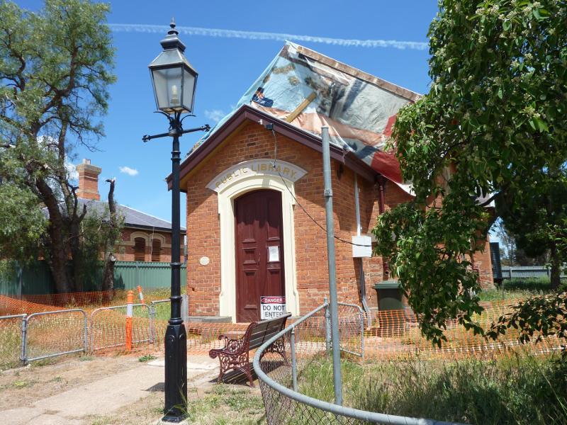 Camp Street - Public Library, Camp St west of Heales St
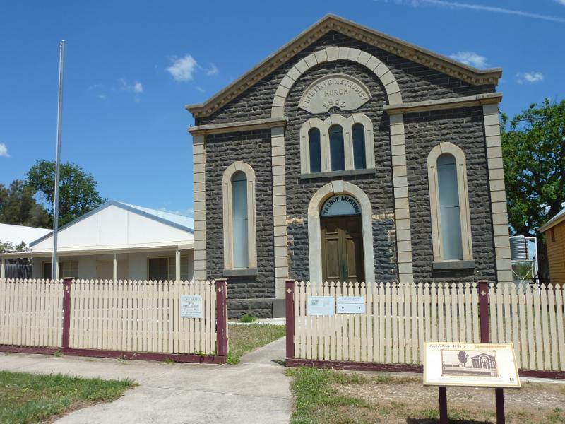 Camp Street - Talbot Museum at old Primitive Methodist Church, Camp St east of Lansdowne St
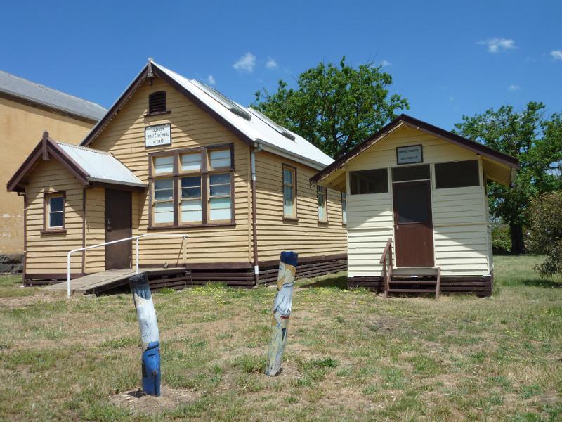 Camp Street - Old Dunach State School and Amherst Hospital Isolation Hut buildings, corner Camp St and Lansdowne St
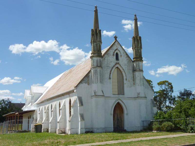 Camp Street - Old church, corner Camp St and Lansdowne St
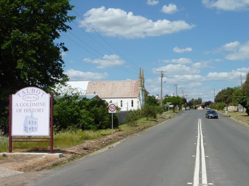 Camp Street - View east along Camp St towards Lansdowne St
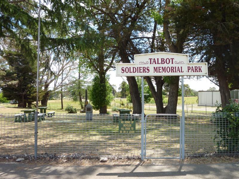 Town Hall and surroundings, Ballarat Street and Heales Street - Talbot Soldiers Memorial Park, corner Heales St and O'Hara St
 Town Hall and surroundings, Ballarat Street and Heales Street - View south along Ballarat St North towards town hall in Ballarat St
 Town Hall and surroundings, Ballarat Street and Heales Street - Town Hall and Ana Hall, corner Ballarat St and Heales St
 Town Hall and surroundings, Ballarat Street and Heales Street - General store, corner Ballarat St and Prince Alfred St
 Around Talbot - Talbot Primary School, Rowe St
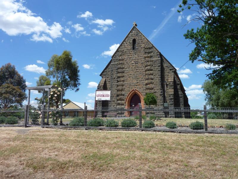 Around Talbot - Anglican Church, corner Lansdowne St and O'Hara St
 Around Talbot - View west from Lansdowne St opposite O'Hara St
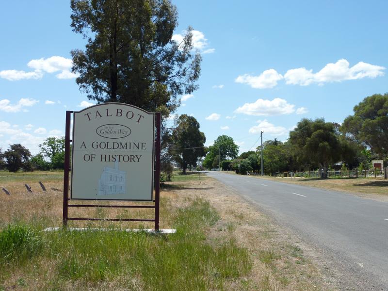 Around Talbot - Town sign, view north along Bond St just north of Ballarat-Maryborough Rd
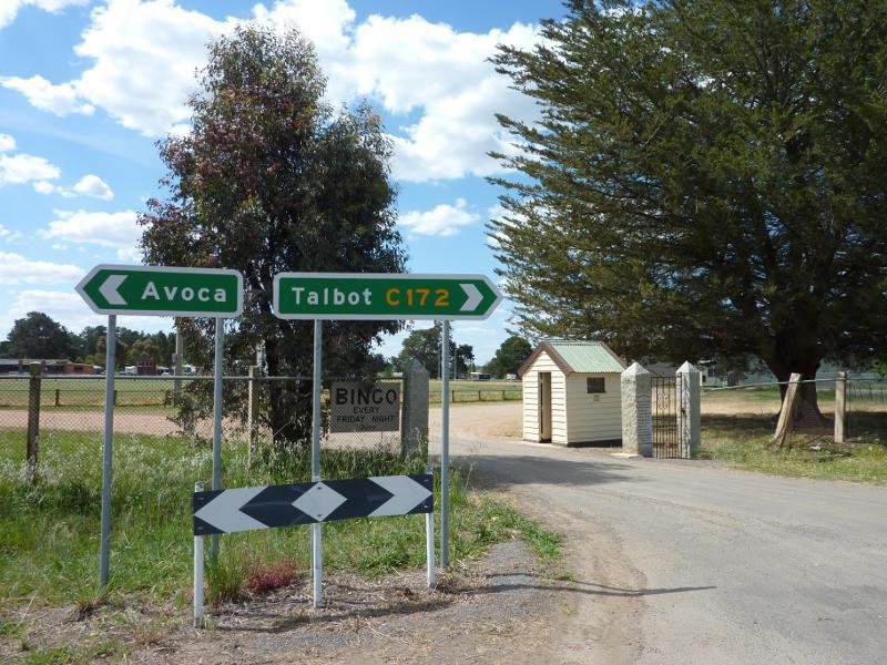 Recreational reserve, Avoca Road - Entrance, Avoca Rd opposite Lexton Rd
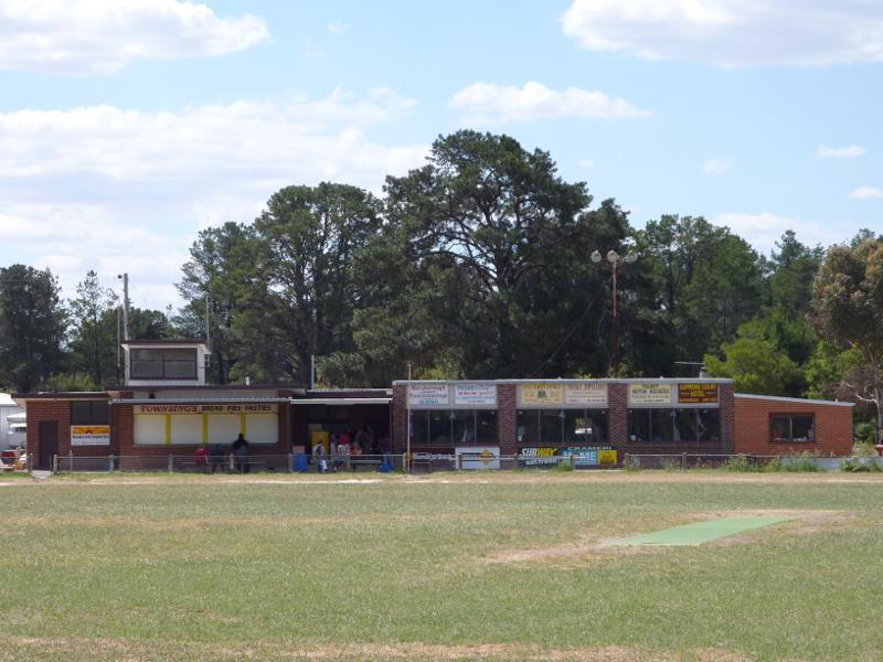 Recreational reserve, Avoca Road - View north across oval towards pavillion
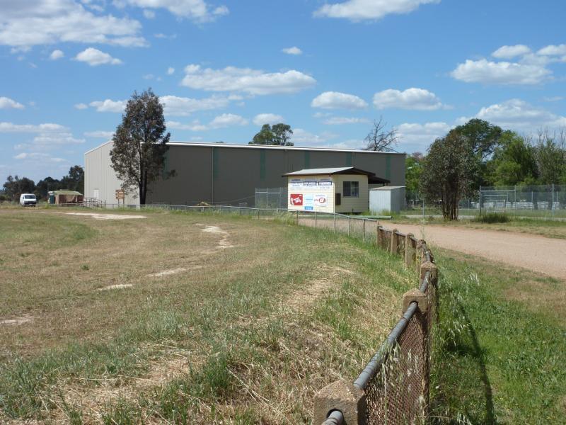 Recreational reserve, Avoca Road - View east along oval towards indoor recreation centre
 Old Talbot railway station (now a museum and nursery), Railway Street - Entrance viewed from northern end of Railway St
 Old Talbot railway station (now a museum and nursery), Railway Street - Nursery at station building
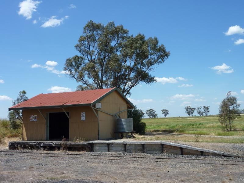
 Old Talbot railway station (now a museum and nursery), Railway Street - View south along railway platform towards station
 Old Talbot railway station (now a museum and nursery), Railway Street - View east across railway line from station platform
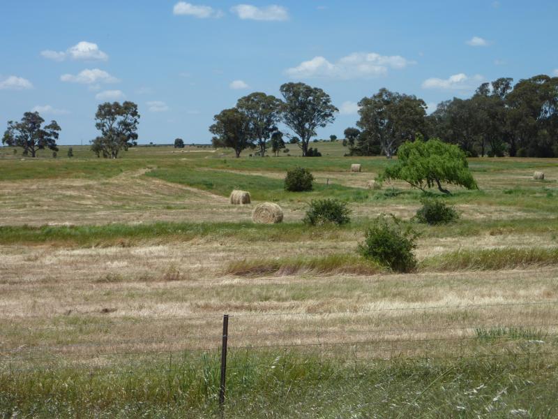
 Countryside east of railway line, Weilandt Crescent and Rocky Flat Road - View north-east from Weilandt Cr south of railway station
 Countryside east of railway line, Weilandt Crescent and Rocky Flat Road - Easterly view, Slaughteryard Rd at Rocky Flat Rd
 Countryside east of railway line, Weilandt Crescent and Rocky Flat Road - View south-west along Rocky Flat Rd at Slaughteryard Rd
 Countryside east of railway line, Weilandt Crescent and Rocky Flat Road - View south along Slaughteryard Rd, south of Rocky Flat Rd
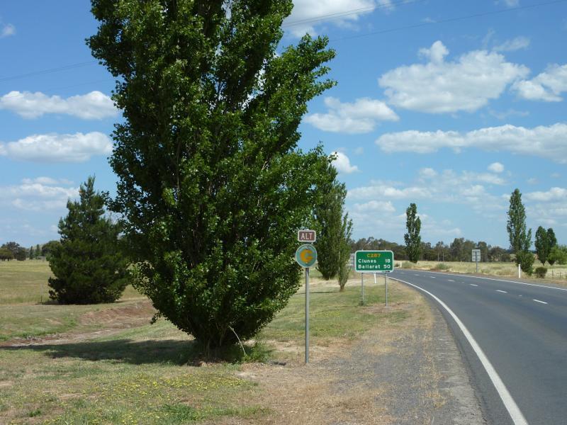
 Ballarat-Maryborough Road through Talbot and southwards - View south along Ballarat-Maryborough Rd at Avoca Rd
 Ballarat-Maryborough Road through Talbot and southwards - View south-east along Ballarat-Maryborough Rd, south of Avoca Rd
 Ballarat-Maryborough Road through Talbot and southwards - View north along Ballarat-Maryborough Rd towards Bond St
 Ballarat-Maryborough Road through Talbot and southwards - Easterly view from Ballarat-Maryborough Rd south of Bond St
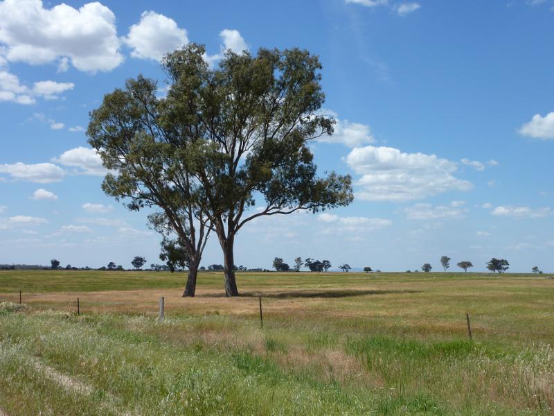
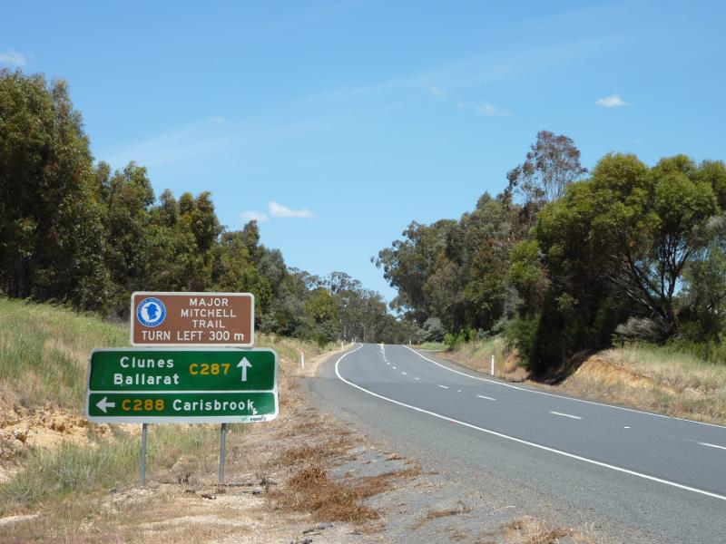
 Ballarat-Maryborough Road through Talbot and southwards - View south-east along Ballarat-Maryborough Rd at Mitchell Rd
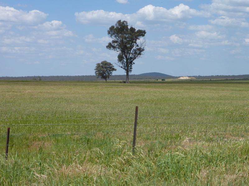
 Ballarat-Maryborough Road through Talbot and southwards - South-westerly view, Ballarat-Maryborough Rd at Mitchell Rd
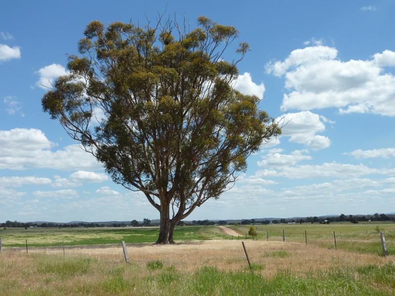
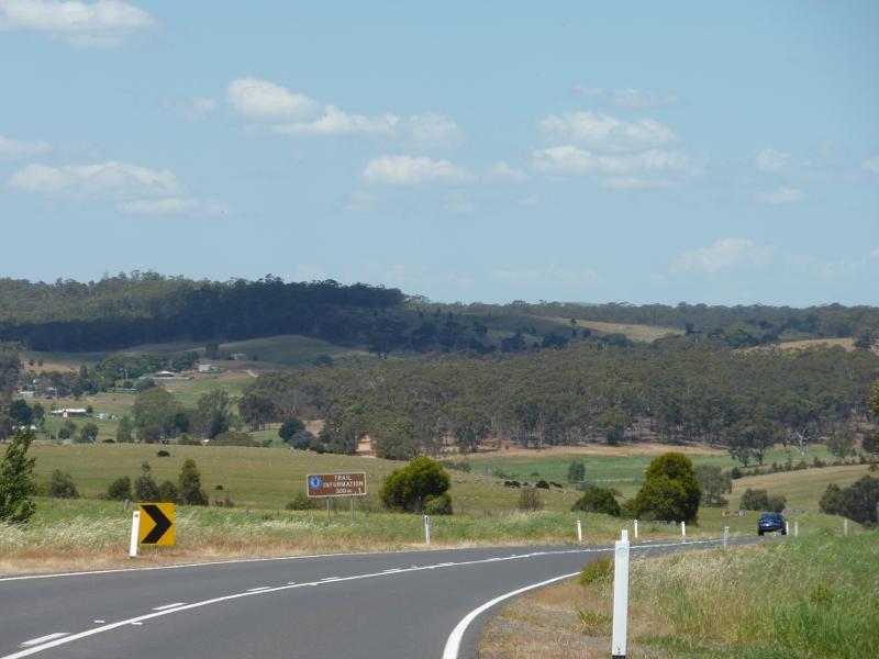
 Ballarat-Maryborough Road through Talbot and southwards - View north-west along Ballarat-Maryborough Rd at Fells Gully Rd
 Ballarat-Maryborough Road through Talbot and southwards - Easterly view, Ballarat-Maryborough Rd at Fells Gully Rd
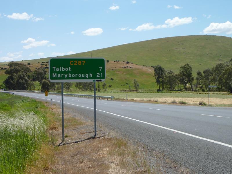
 Ballarat-Maryborough Road through Talbot and southwards - View south-east along Ballarat-Maryborough Rd towards Dunach-Eddington Rd