The land
Facts & figures
Transport
Driving
Weather
Location & maps
Communications
Holidays
Visitor information
Your safety
Government
Victoria's dominant land feature is the substantial mountain formation known as the Great Dividing Range. It commences at the northern tip of Queensland and extends southwards along the entire eastern coastline of Australia. Upon reaching Victoria's eastern edge, it then heads westwards and flattens out after reaching the Grampians National Park in western Victoria.
In comparison, the north, north-west and far west of Victoria are fairly flat.
Size
Mainland - 227,010 square kilometres
Islands - 406 square kilometres (covering 184 islands)
Combined total - 227,416 square kilometres
Public land component
32% of Victoria's total land, consisting of state parks, national parks and other nature reserves
Mainland extremities
North and west - Murray River at border with South Australia
South - South Point at Wilsons Promontory
East - Cape Howe at Croajingolong National Park (near Mallacoota)
Coastline
Mainland - 1,868 kilometres
Islands - 644 kilometres
Largest island
French Island (in Western Port) - 170 square kilometres
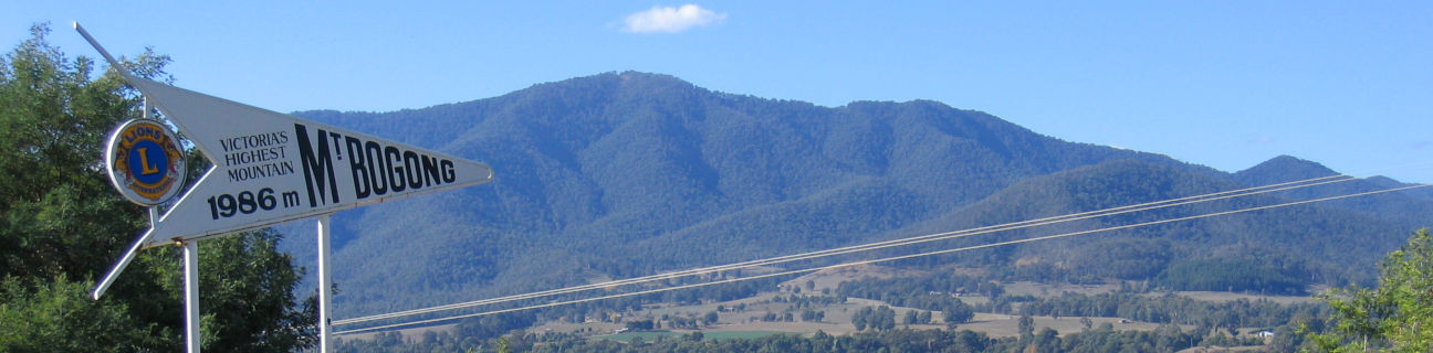
Highest mountain
Mount Bogong (in Alpine National Park, near Mount Beauty) - 1,986 metres
Longest river
Completely within Victoria - Goulburn River - 654 kilometres
Any part within Victoria - Murray River (extends into New South Wales and South Australia) - 2,508 kilometres
Largest natural lake
Lake Corangamite (a saline lake near Camperdown and Colac) - approximately 209 square kilometres
Largest natural freshwater lake
Lake Hindmarsh (near Jeparit) - approximately 150 square kilometres
Largest constructed reservoir
Dartmouth Dam (completed in 1979) - capacity of 3,906 gigalitres