Street directories
Location & maps
Transport
Driving
Weather
Facts & figures
Communications
Holidays
Visitor information
Your safety
Government
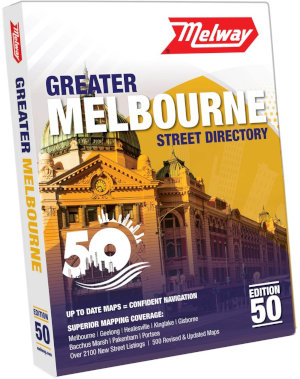
Melway - Greater Melbourne Street Directory
First published in 1966, the Melway is a street directory which covers Melbourne and its suburbs, the Mornington Peninsula, Phillip Island, Geelong, the Bellarine Peninsula, the Yarra Valley, part of the Macedon Ranges and some surrounding towns. It also includes public transport information, landmarks, parks, a community services directory and a touring section which has maps of Victoria and parts of New South Wales and South Australia.
The Melway is Melbourne's most popular, accurate and widely used street directory. It uses unique cartography whereby roads are rendered as a single line and colour coded depending on their type, allowing details such as separate carriageways, traffic islands and other road features to be precisely shown.
The Melway is widely available and can be purchased at many retail outlets including newsagents, office stationery shops, book stores, service stations, automotive shops and department stores.
Latest release: Edition 50, 2024 (published in 2023).
A special edition Melway Ballarat is available from local retailers in the Ballarat area which covers this regional city's centre and surrounding suburbs.
Further information: Melway Publishing
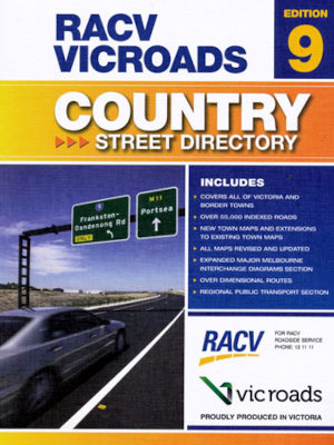
RACV VicRoads Country Street Directory
The RACV VicRoads Country Street Directory has street level maps for over 300 towns and cities within Victoria, excluding the greater Melbourne and Geelong area (use the Melway for those areas). It has detailed touring maps which cover every corner of Victoria and large scale overview maps of the suburban and surrounding areas of Melbourne and Geelong.
It can be purchased from RACV shops, book stores, newsagents, automotive shops, service stations and department stores.
Latest release: Edition 9, 2013.
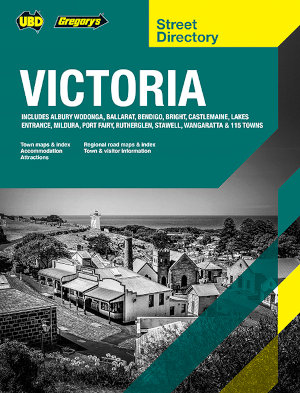
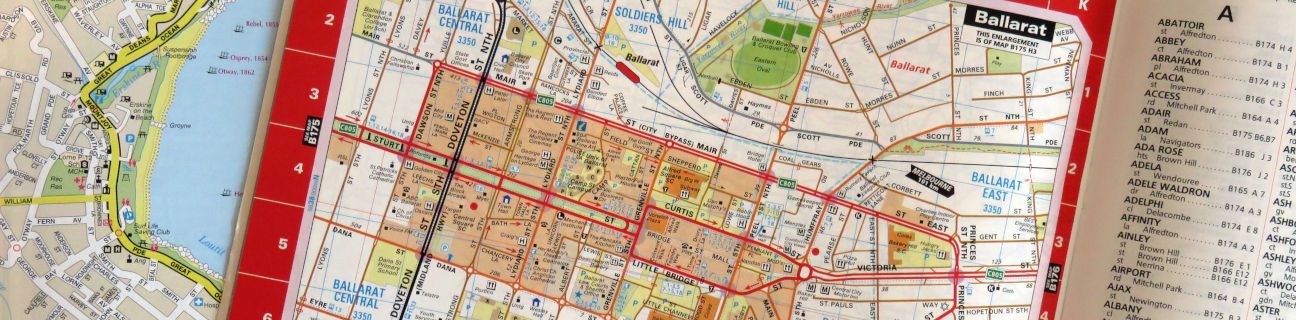
UBD Gregory's
The UBD Gregory's Victoria Street Directory has street maps of over 120 cities and towns throughout the state (excluding Melbourne), plus large touring maps which cover all of Victoria.
Further information: Hardie Grant Explore
Latest release: Edition 20, 2021.