Warracknabeal - maps & location
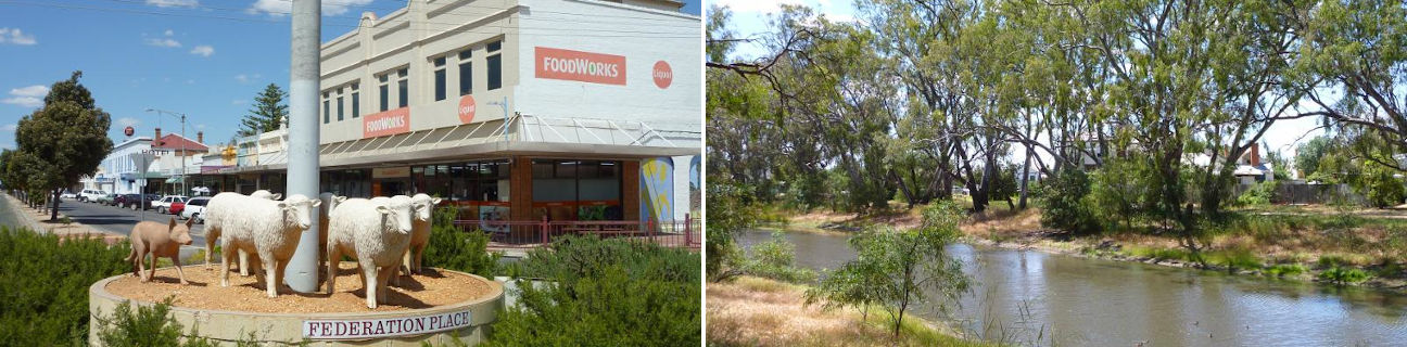
Warracknabeal
Stay
See and do
Food and drink
Shopping
Getting around
Visitor information
Location
Location by road
341 km north-west of Melbourne
Geographic coordinates
36° 15' 12'' S
142° 23' 40'' E
341 km north-west of Melbourne
36° 15' 12'' S
142° 23' 40'' E
