Warragul - photos
Warragul
Stay
See and do
Food and drink
Shopping
Getting around
Visitor information
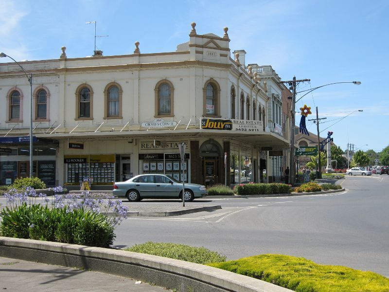
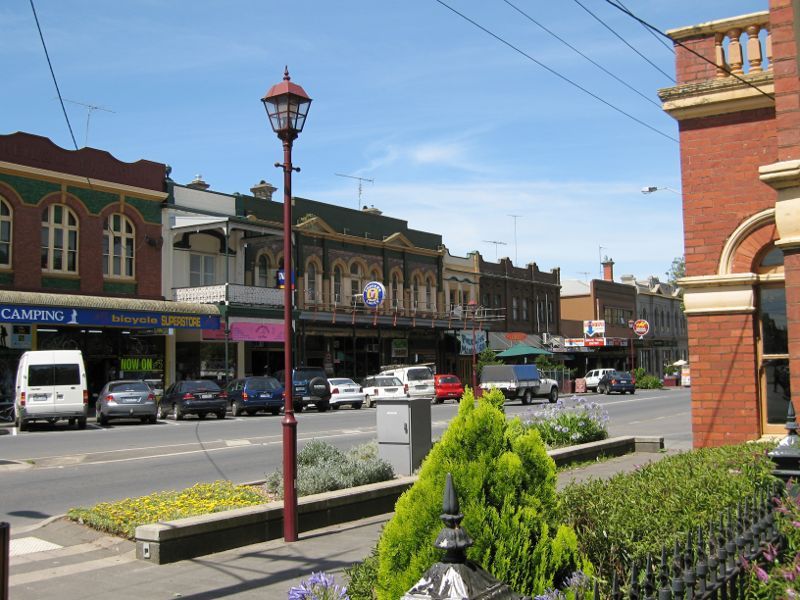
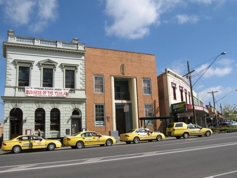
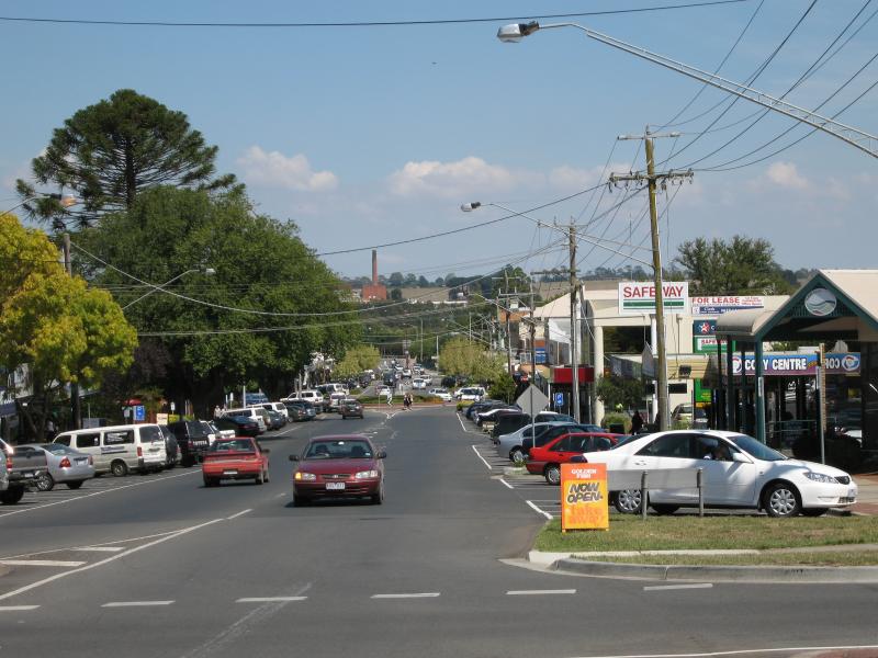
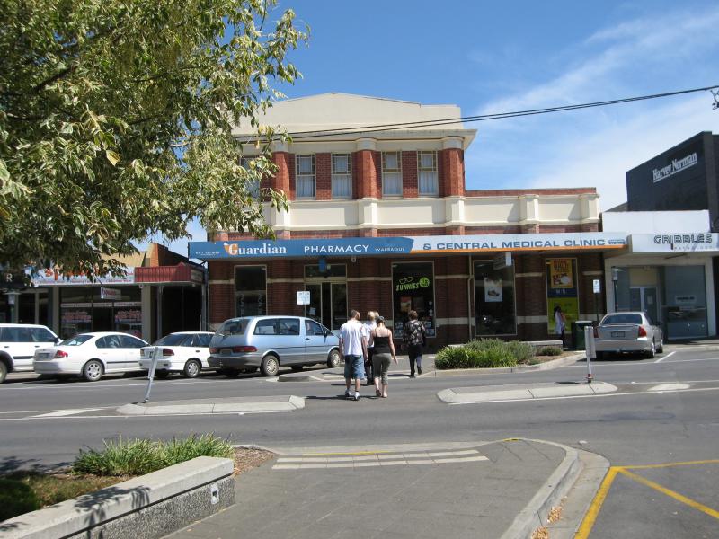
 Commercial centre and shops - View east along Queen St at Napier St
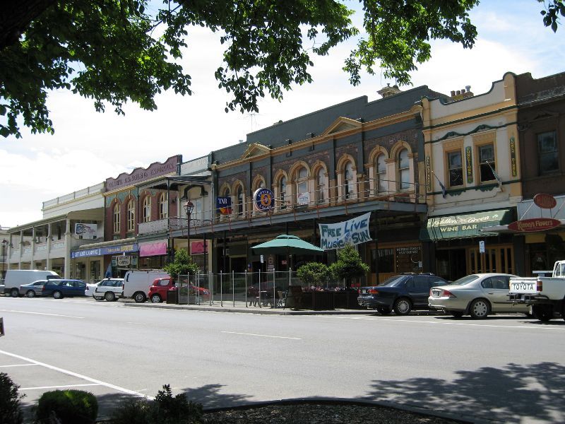
 Commercial centre and shops - View east along Queen St between Napier St and Victoria St
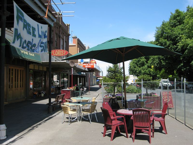
 Commercial centre and shops - View west along Queen St at Victoria St
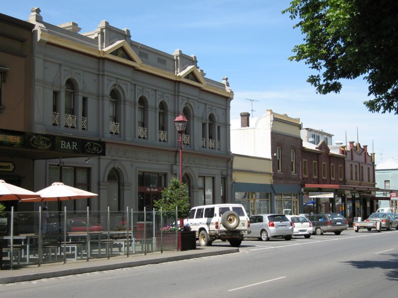
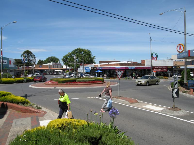
 Commercial centre and shops - View north along Victoria St towards Queen St
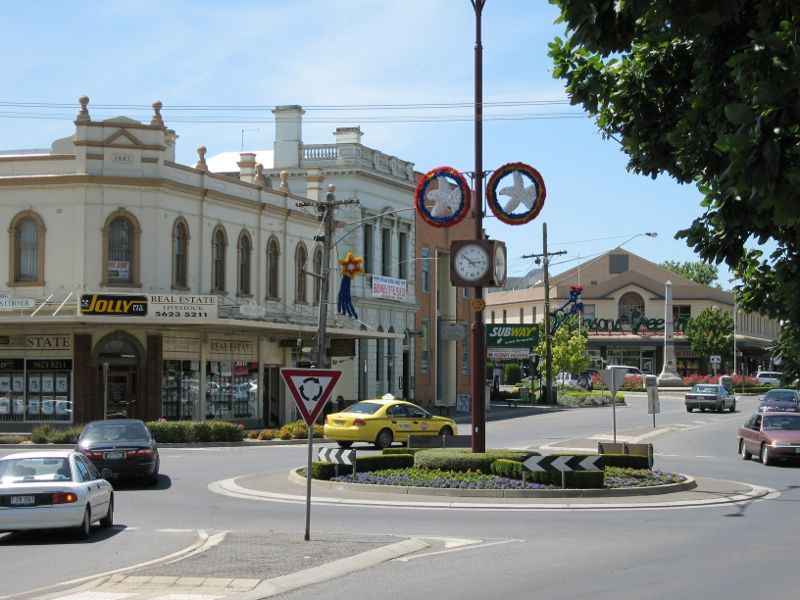
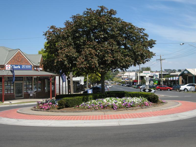
 Commercial centre and shops - View north along Victoria St at Queen St
 Commercial centre and shops - View north along Victoria St at Queen St
 Commercial centre and shops - View north along Victoria St at Queen St
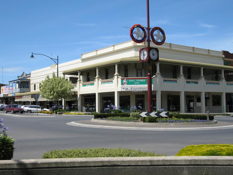
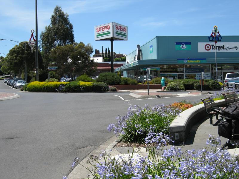
 Commercial centre and shops - View south along Victoria St at Queen St
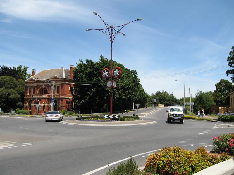
 Commercial centre and shops - Museum housed in old Shire Hall, corner Queen St and Victoria St
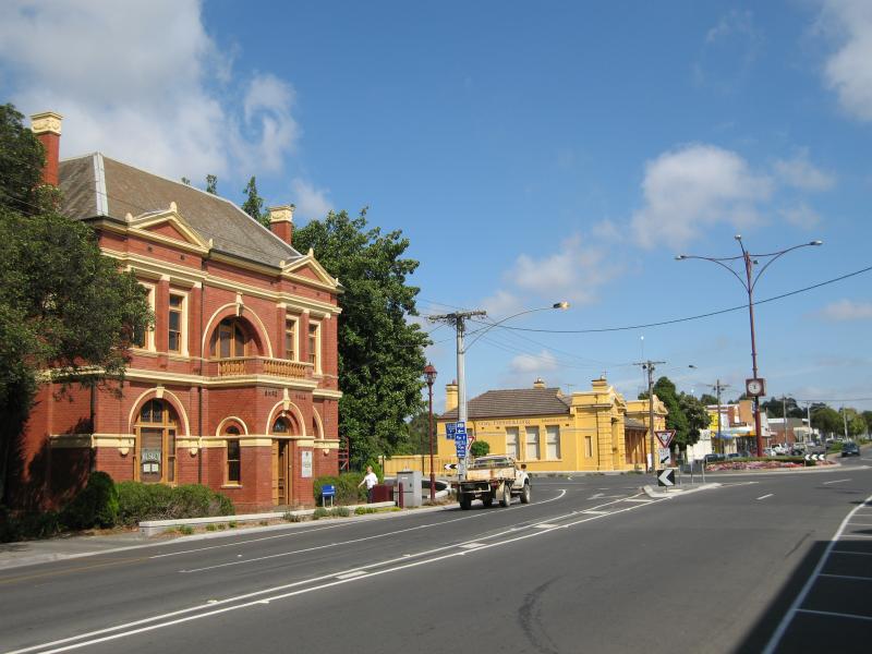 Commercial centre and shops - View west along Queen St towards Victoria St
 Commercial centre and shops - View east along Queen St at Victoria St
 Commercial centre and shops - View west along Queen St towards Victoria St
 Commercial centre and shops - Tables outside Railway Hotel, Queen St
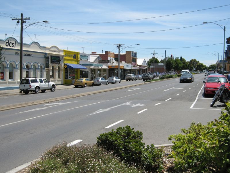
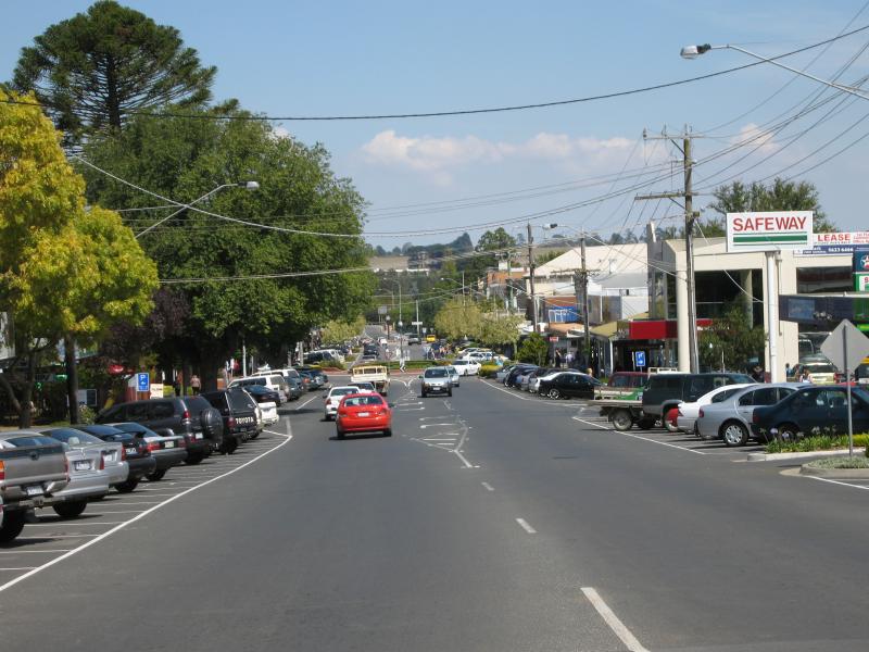
 Commercial centre and shops - View east along Queen St towards Mason St
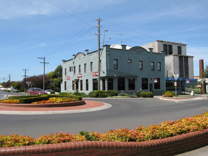 Commercial centre and shops - Commercial Hotel, corner Queen St and Mason St
 Commercial centre and shops - Gippsland Tafe, Queen St opposite Mason St
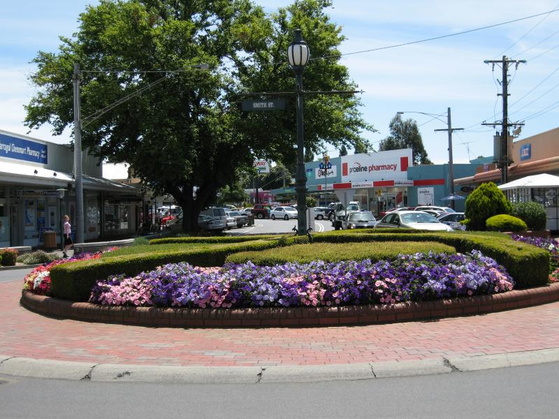
 Commercial centre and shops - View west across Victoria St at Smith St
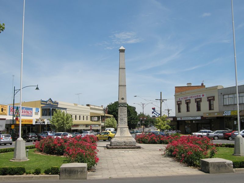
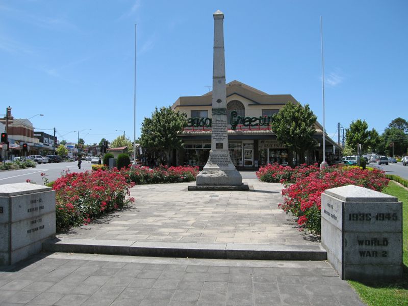 Commercial centre and shops - War memorial, view north along Victoria St and Smith St towards Williams St
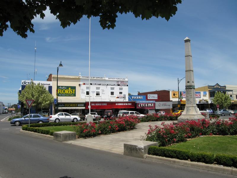
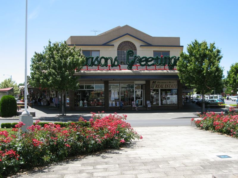 Commercial centre and shops - View north along Victoria St and Smith St at Williams St
 Commercial centre and shops - War memorial, view south along Smith St and Victoria St at Williams St
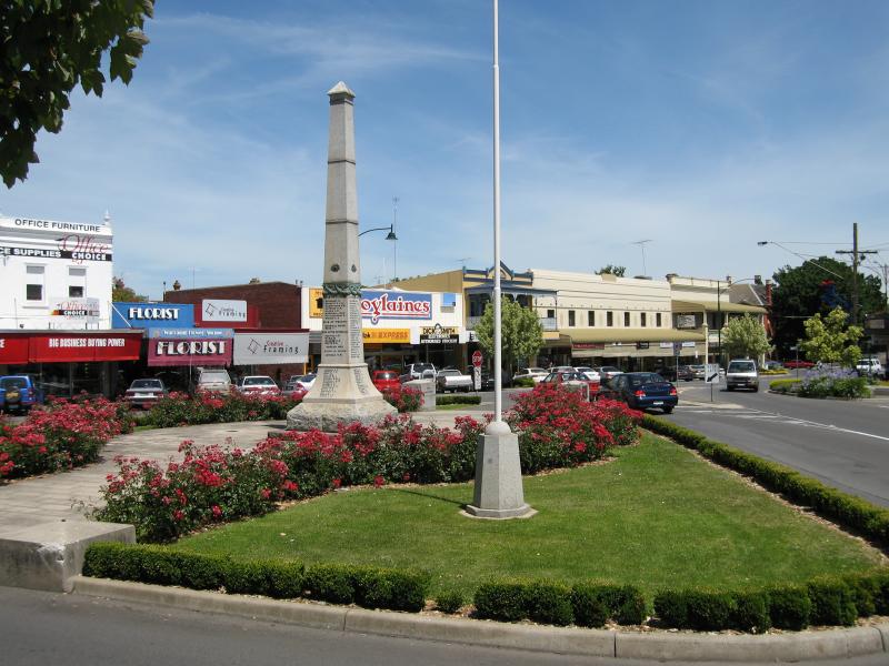 Commercial centre and shops - War memorial, view south along Smith St and Victoria St at Williams St
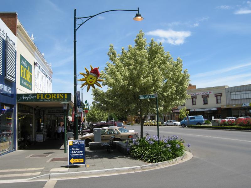
 Commercial centre and shops - View east along Williams St towards Smith St
 Commercial centre and shops - View south along Smith St at Williams St
 Commercial centre and shops - View south along Smith St at Williams St
 Commercial centre and shops - View north along Smith St at Williams St
 Commercial centre and shops - View south along Smith St at Palmerston St
 Commercial centre and shops - View east along Palmerston St at Smith St
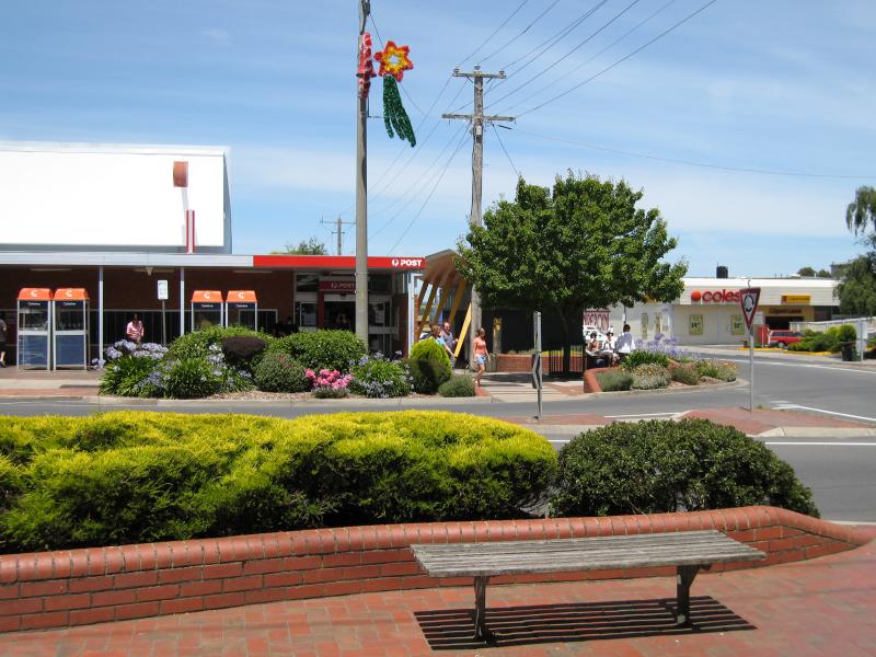 Commercial centre and shops - Post Office, view east along Palmerston St at Smith St
 Commercial centre and shops - View west along Palmerston St at Smith St
 Commercial centre and shops - View west along Palmerston St at Smith St
 Commercial centre and shops - View north along Smith St at Palmerston St
 Commercial centre and shops - The Courthouse Restaurant, Smith St
 Commercial centre and shops - View south along Smith St towards Barkly St
 Commercial centre and shops - View south along Smith St at Albert St
 Commercial centre and shops - View south along Smith St at Albert St
 Commercial centre and shops - View north along Victoria St at Palmerston St
 Commercial centre and shops - View east along Napier St towards Victoria St
 Commercial centre and shops - View west across Victoria St between Smith St and Napier St
 Commercial centre and shops - View south along Victoria St between Napier St and Smith St
 Victoria Street north of commercial centre - View south along Victoria St at Albert St
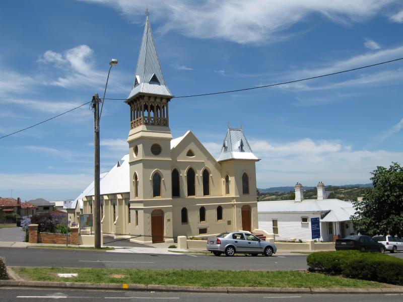 Victoria Street north of commercial centre - Community Centre (former Wesley Uniting Church)
 Victoria Street north of commercial centre - View south along Victoria St, south of Albert St
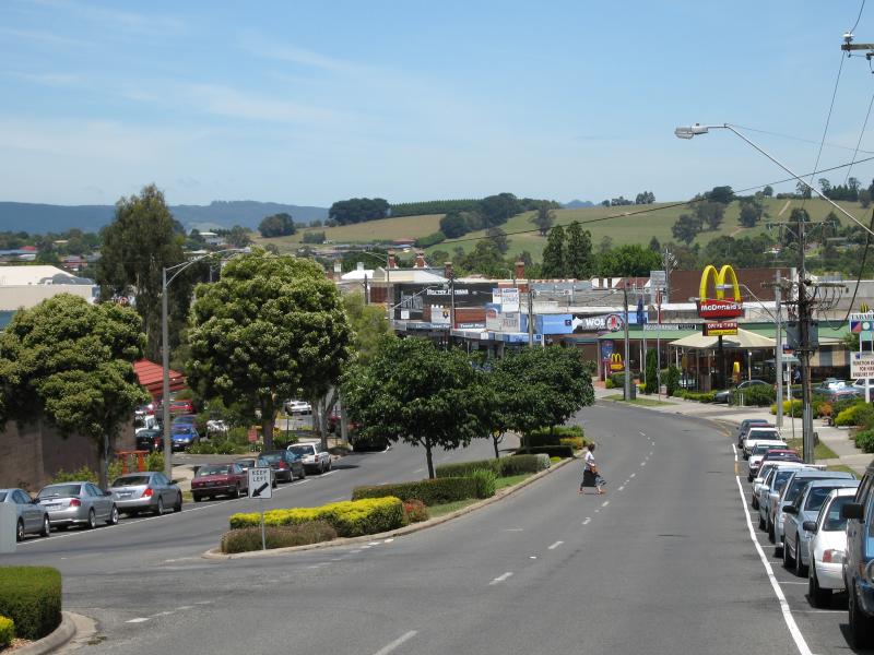 Victoria Street north of commercial centre - View south along Victoria St, south of Albert St
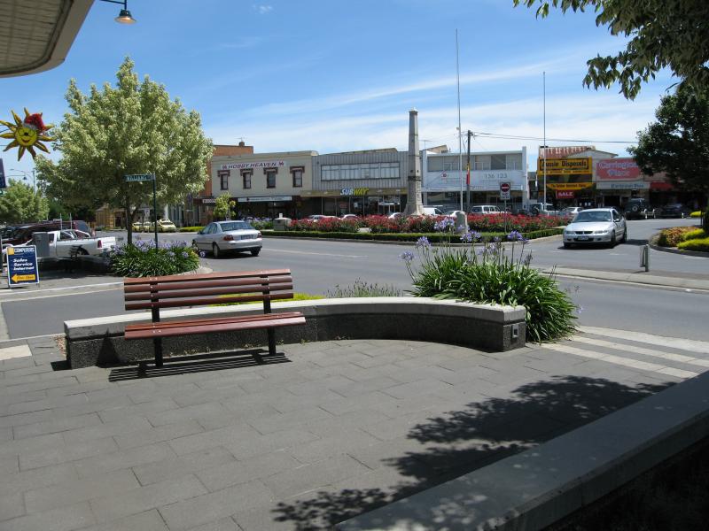
 Queen Street Park, Queen Street - Entrance to park on Queen St
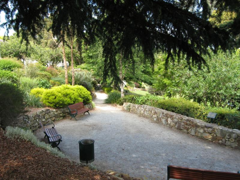
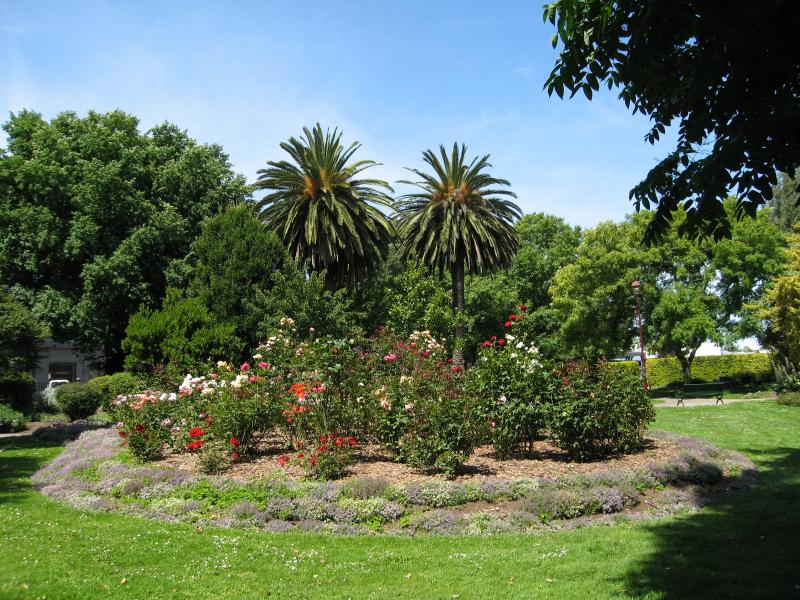 Queen Street Park, Queen Street - View through park
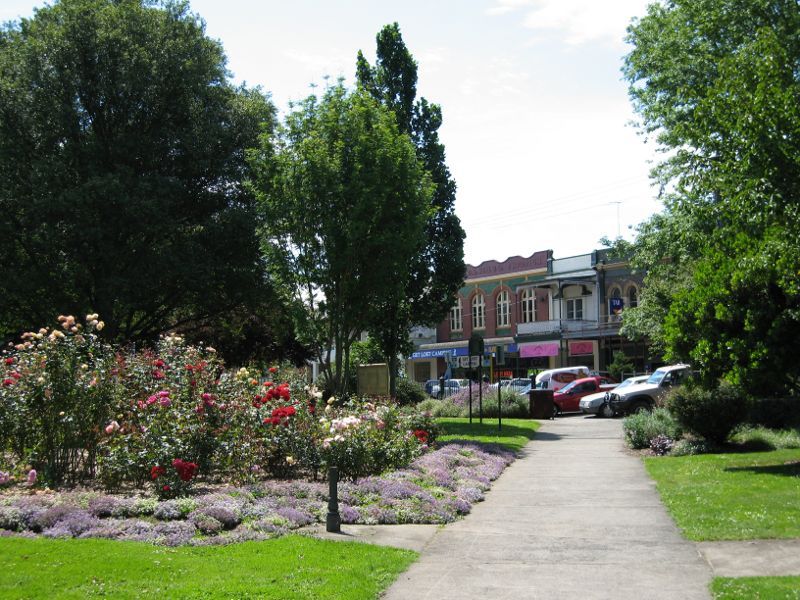 Queen Street Park, Queen Street - View through park towards Queen St
 Queen Street Park, Queen Street - View through park towards Queen St
 Queen Street Park, Queen Street - View through park towards Queen St
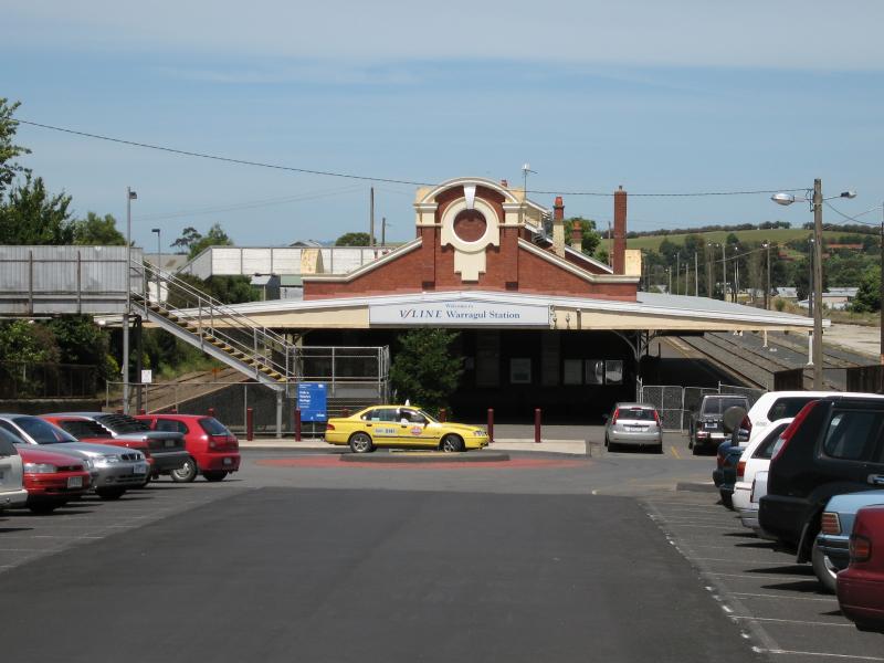 Warragul railway station - View towards station from car park
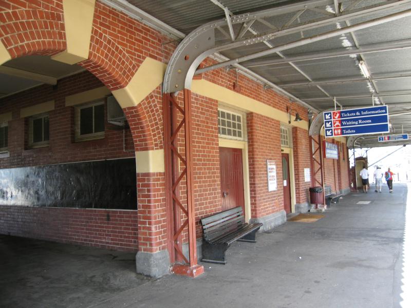 Warragul railway station - Station platform
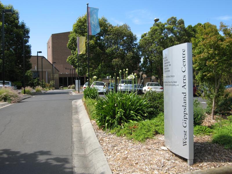 West Gippsland Arts Centre and Civic Centre, corner Albert Street and Smith Street - View of Arts Centre from Albert St
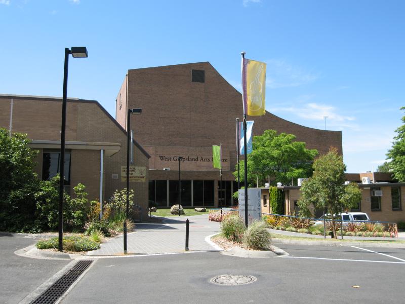 West Gippsland Arts Centre and Civic Centre, corner Albert Street and Smith Street - Arts Centre entrance
 West Gippsland Arts Centre and Civic Centre, corner Albert Street and Smith Street - Entrance to Civic Centre and Baw Baw Shire offices, Civic Pl
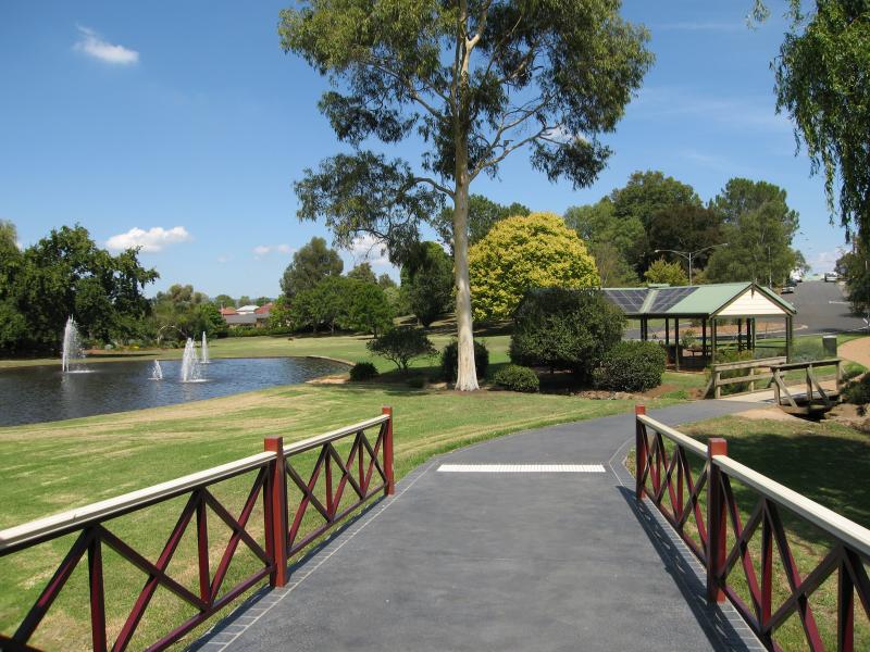
 Civic Park - View north at end of Civic Pl towards lake
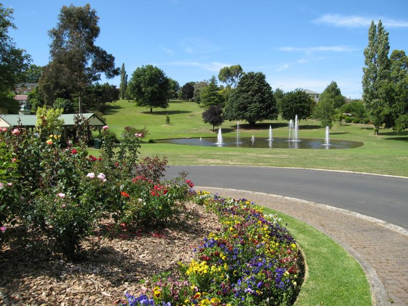 Civic Park - View north at end of Civic Pl towards lake
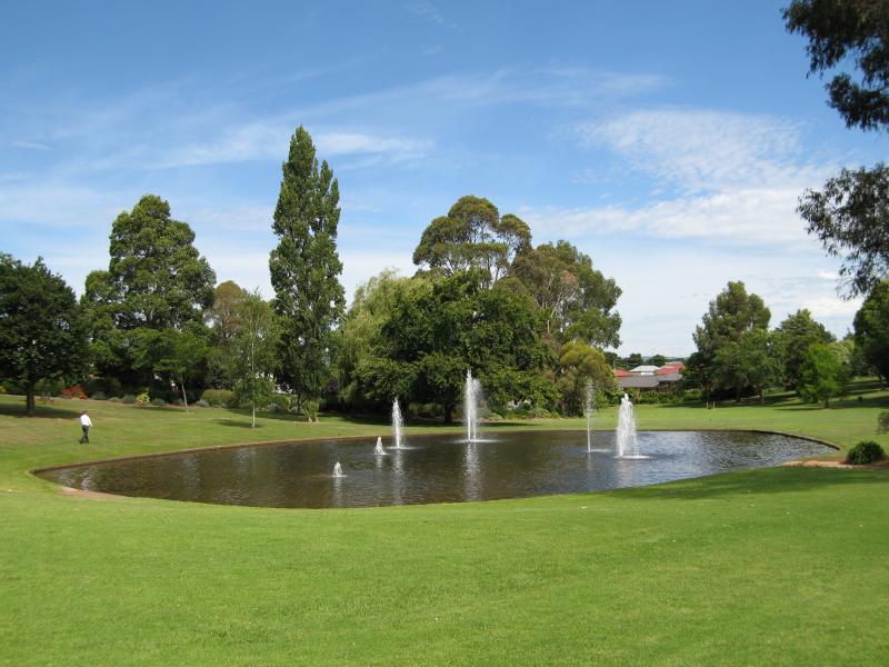 Civic Park - Lake
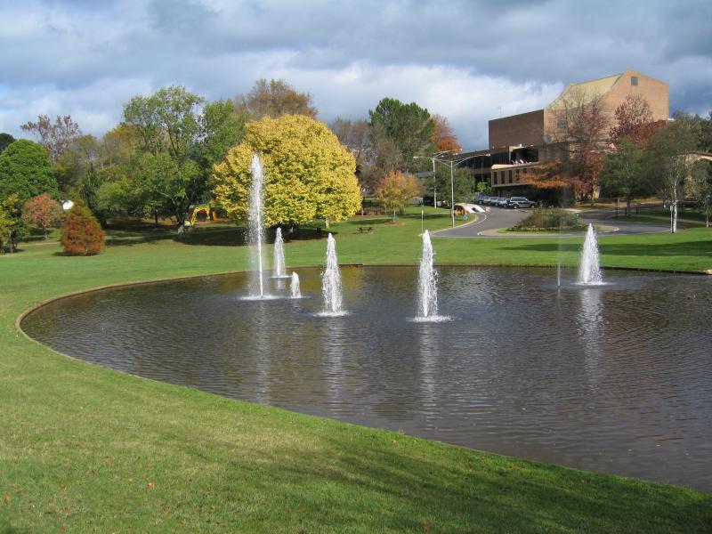 Civic Park - View south across lake towards West Gippsland Arts Centre
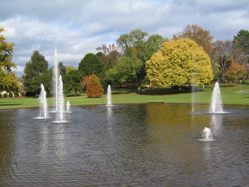 Civic Park - View across lake
 Civic Park - View from rotunda towards lake and BBQ shelter
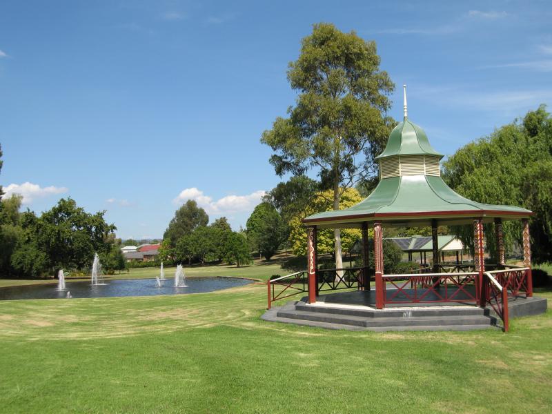 Civic Park - Rotunda and lake
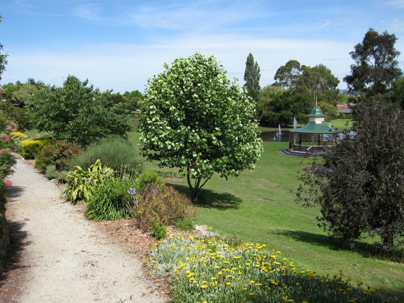 Civic Park - Walking track through park
 Civic Park - Seats at top of waterfall near Mary St
 Civic Park - View along stream towards waterfall
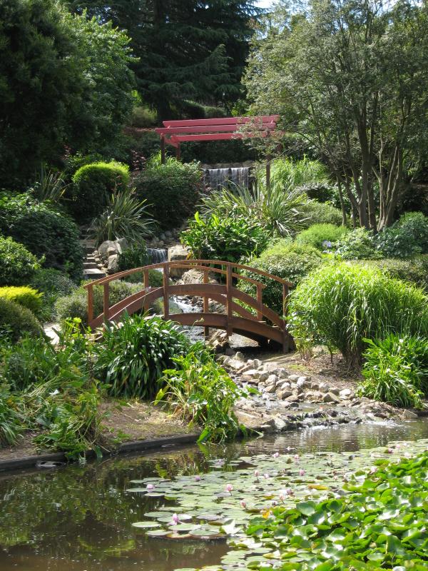 Civic Park - View from lake up to waterfall
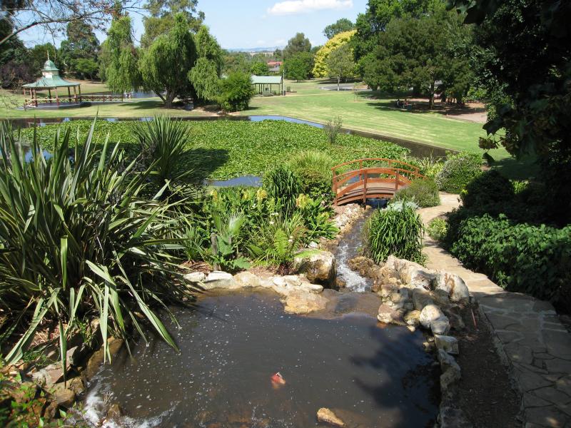 Civic Park - View down to lake from waterfall
 Civic Park - View across lake towards rotunda
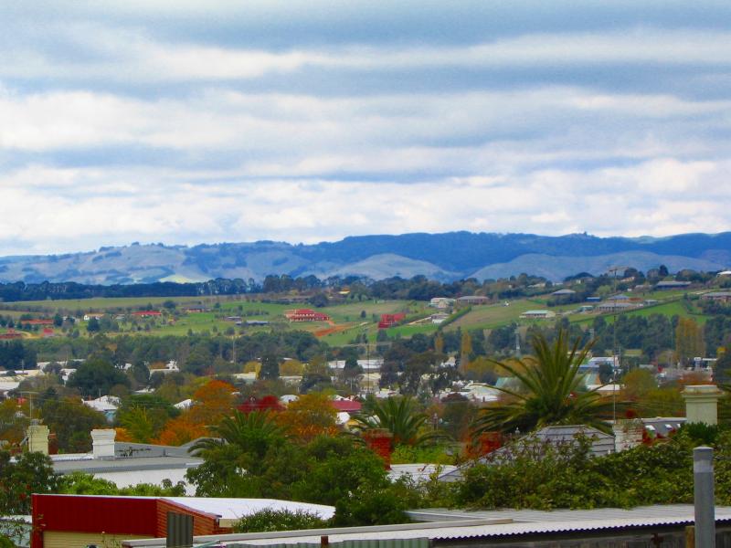 Around Warragul - View south-east across town near corner of Victoria St and Craig St
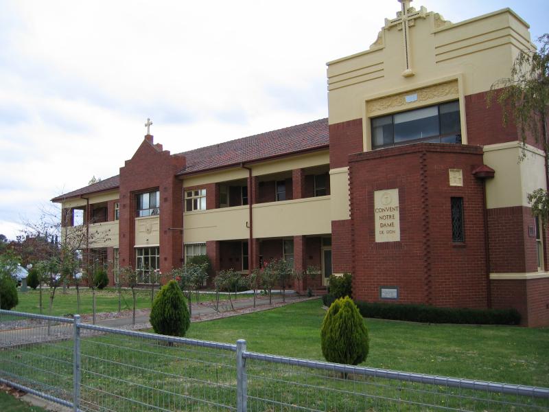 Around Warragul - Convent Notre Dame, corner Witton St and Connor St
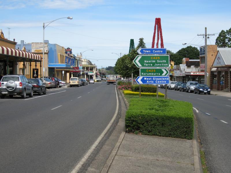
 Princes Way (Drouin - Warragul Road) - View south-east along Princes Way towards Warragul town sign
 Princes Way (Drouin - Warragul Road) - View south-east along Princes Way towards Colman St
 Princes Way (Drouin - Warragul Road) - View north-west along Princes Way towards Trinca La
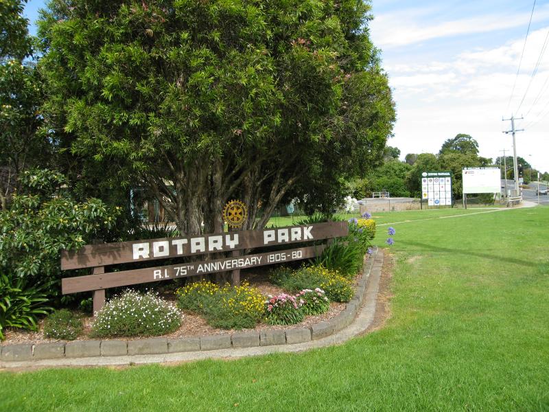 Rotary Park, corner Princes Way and Latrobe Street - Park sign facing Princes Way
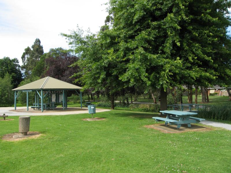 Rotary Park, corner Princes Way and Latrobe Street - Information bay and picnic tables
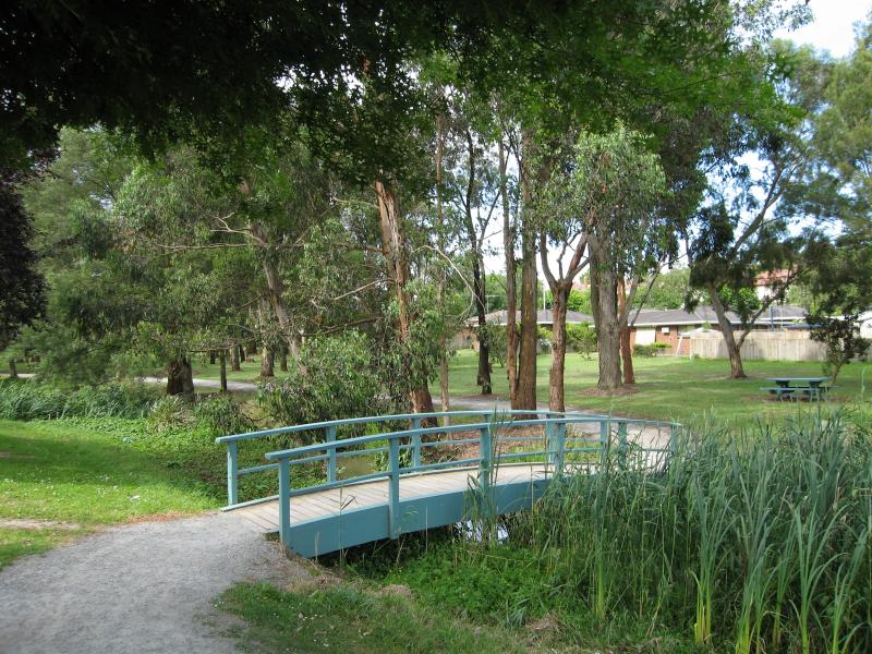 Rotary Park, corner Princes Way and Latrobe Street - Footbridge over creek
 Rotary Park, corner Princes Way and Latrobe Street - Walking track north through park
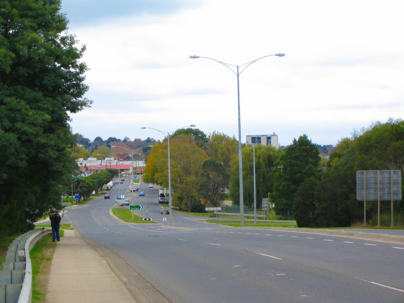 Korumburra Road - View north along Howitt St at Princes Fwy overpass
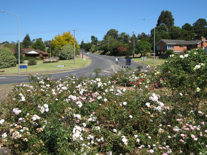 Korumburra Road - View south along Korumburra Rd at Landsborough Rd
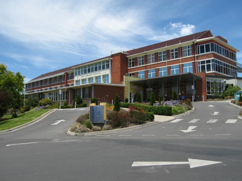 West Gippsland Hospital, Landsborough Street - Hospital main entrance
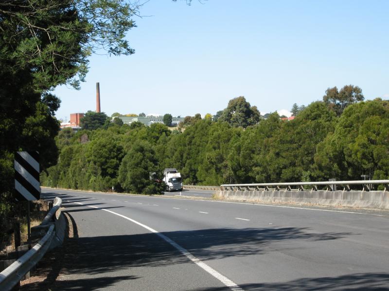 Princes Freeway through Warragul - View east along Princes Fwy approaching C425 Korumburra exit
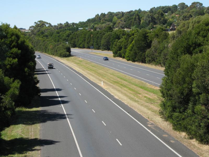 Princes Freeway through Warragul - View east along Princes Fwy from Korumburra Rd overpass
 Brandy Creek Road - South-west view at Lillico Rd
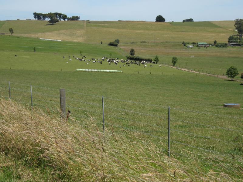
 Brandy Creek Road - Northerly view, south of Cazalys Rd
 Brandy Creek Road - View west along Cazalys Rd
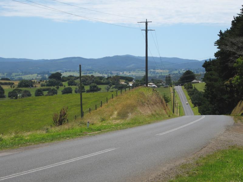 Brandy Creek Road - View north along Brandy Creek Road at Cazalys Rd
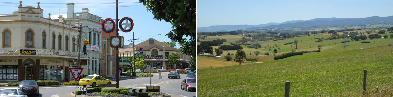
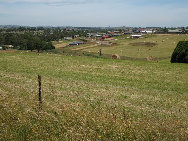
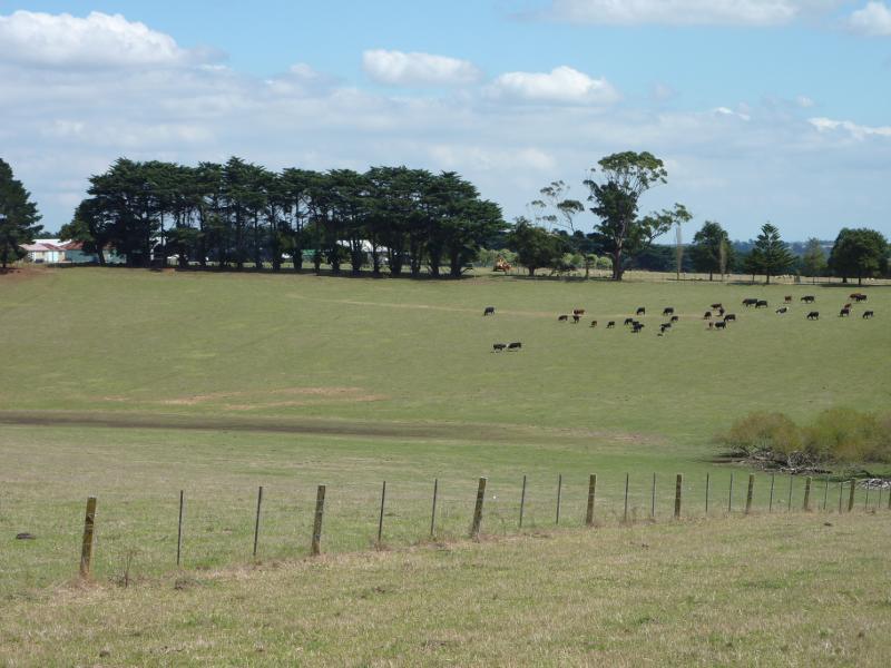
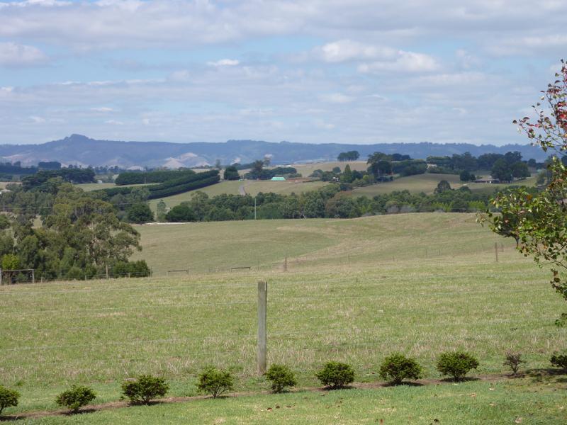
 Brandy Creek Road - View south across grazing fields near power transmission lines
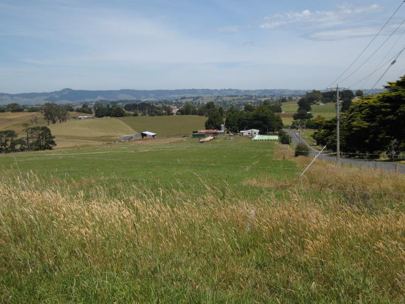 Reservoir Hill area - View south along Brandy Creek Rd at Reservoir Hill Rd
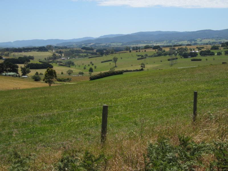
 Reservoir Hill area - Northerly view from Longmuir Rd
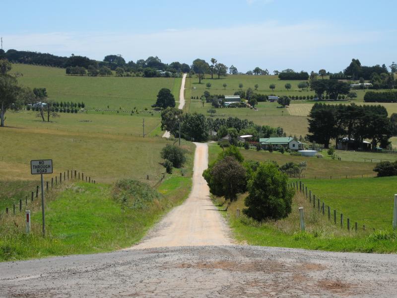
 Lardners Track - Westerly view, Lardners Track near Lardner Rd
 Lardners Track - South-easterly view, Lardners Track near Lardner Rd