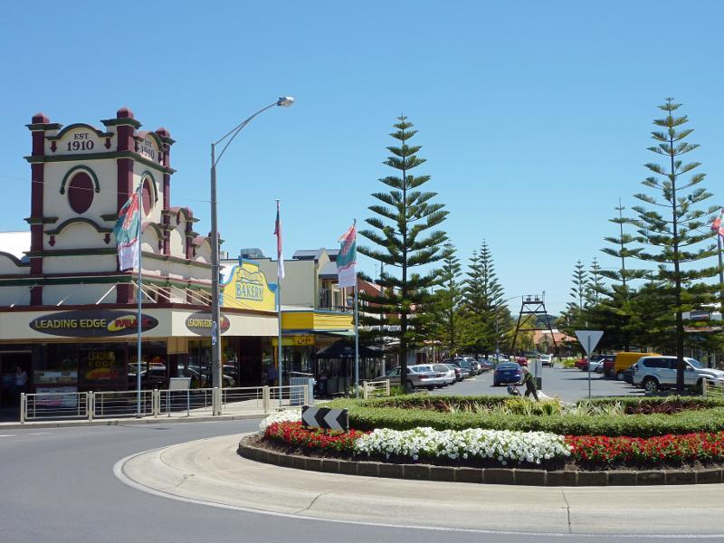
Shops and Commercial Centre, Graham Street, McBride Avenue, Murray Street - View east along Murray St towards McBride Av
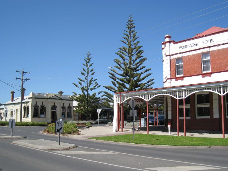
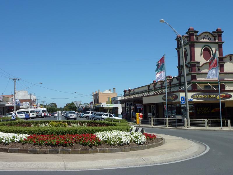
Shops and Commercial Centre, Graham Street, McBride Avenue, Murray Street - View west along Murray St towards McBride Av and Wonthaggi Hotel
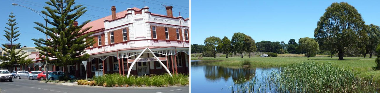
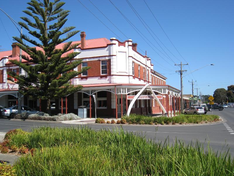
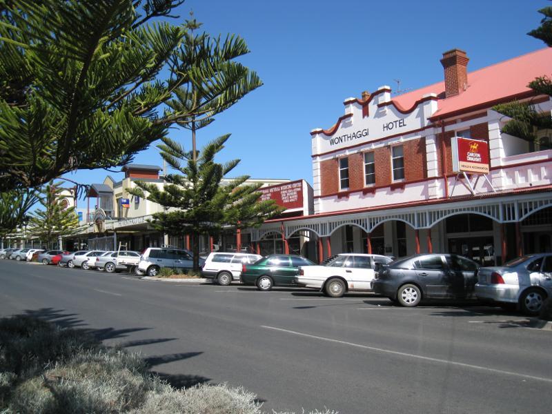
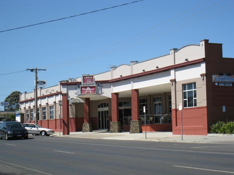
Shops and Commercial Centre, Graham Street, McBride Avenue, Murray Street - Wonthaggi Hotel, corner McBride Av and Murray St
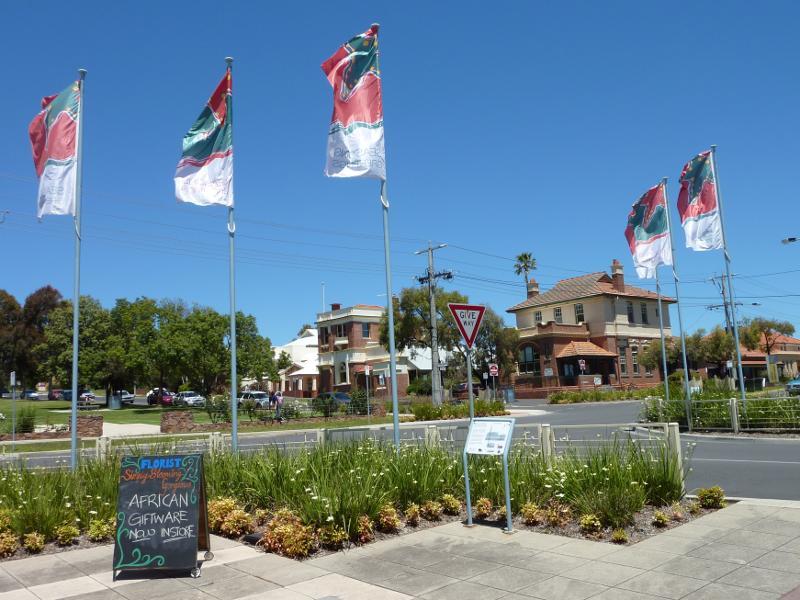
Shops and Commercial Centre, Graham Street, McBride Avenue, Murray Street - View south along McBride Av from Murray St
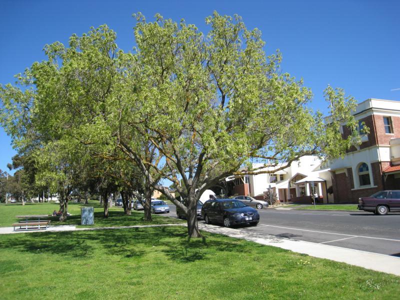
Shops and Commercial Centre, Graham Street, McBride Avenue, Murray Street - West side of McBride Av between Murray St and Graham St
Shops and Commercial Centre, Graham Street, McBride Avenue, Murray Street - Wonthaggi Club, McBride Av between Murray St and Graham St
Shops and Commercial Centre, Graham Street, McBride Avenue, Murray Street - View east along Graham St at McBride Av
Shops and Commercial Centre, Graham Street, McBride Avenue, Murray Street - View north along McBride Av at Graham St
Shops and Commercial Centre, Graham Street, McBride Avenue, Murray Street - View west along Graham St at McBride Av
Shops and Commercial Centre, Graham Street, McBride Avenue, Murray Street - Westerly view across McBride Av at Graham St
Shops and Commercial Centre, Graham Street, McBride Avenue, Murray Street - View west across McBride Av between Graham St and Watt St
Shops and Commercial Centre, Graham Street, McBride Avenue, Murray Street - View west along Watt St at McBride Av
Shops and Commercial Centre, Graham Street, McBride Avenue, Murray Street - View north along McBride Av at Watt St
Shops and Commercial Centre, Graham Street, McBride Avenue, Murray Street - Wonthaggi Workmen's Club, Graham St east of McBride Av
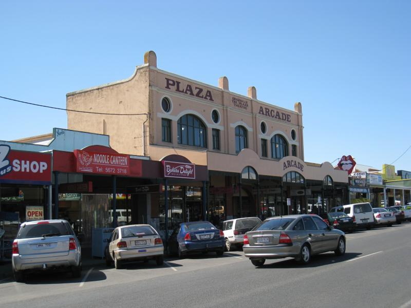
Shops and Commercial Centre, Graham Street, McBride Avenue, Murray Street - Plaza Arcade (originally Plaza Theatre), Graham St between McBride Av and Billson St
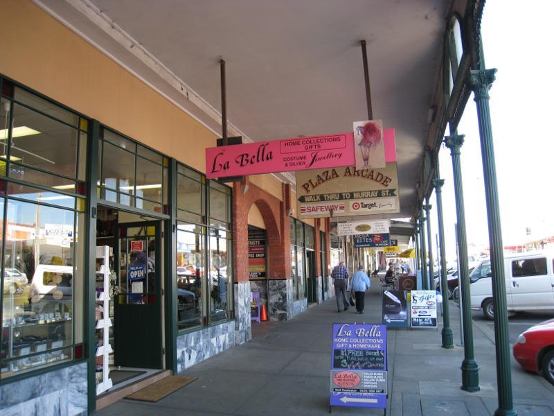
Shops and Commercial Centre, Graham Street, McBride Avenue, Murray Street - View east along Graham St at Plaza Arcade
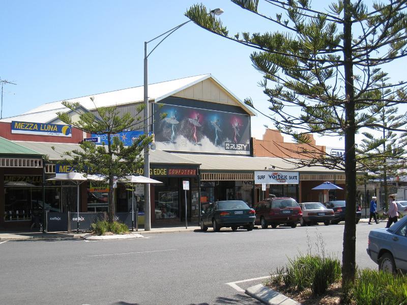
Shops and Commercial Centre, Graham Street, McBride Avenue, Murray Street - Shops along southern side of Graham St between McBride Av and Billson St
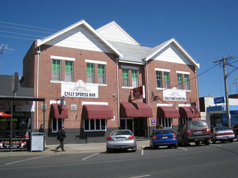
Shops and Commercial Centre, Graham Street, McBride Avenue, Murray Street - Caledonian Hotel, Graham St
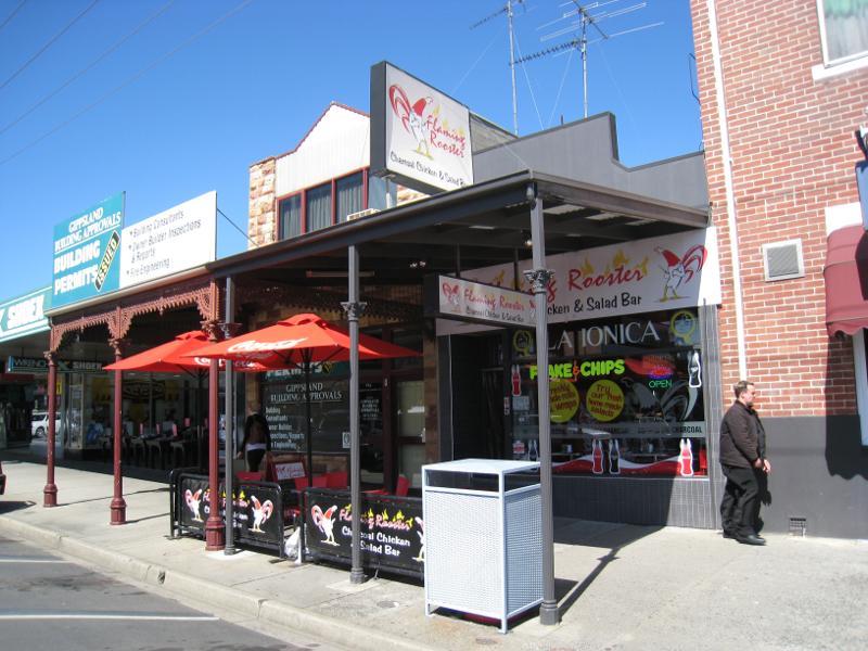
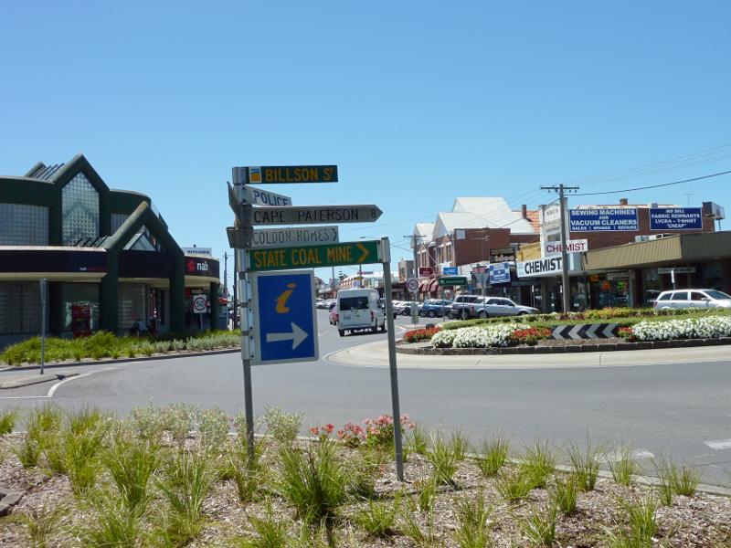
Shops and Commercial Centre, Graham Street, McBride Avenue, Murray Street - View east along Graham St at Billson St
Shops and Commercial Centre, Graham Street, McBride Avenue, Murray Street - View east along Graham St at Billson St
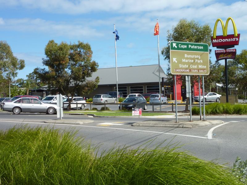
Shops and Commercial Centre, Graham Street, McBride Avenue, Murray Street - McDonalds, corner of Billson St and Graham St
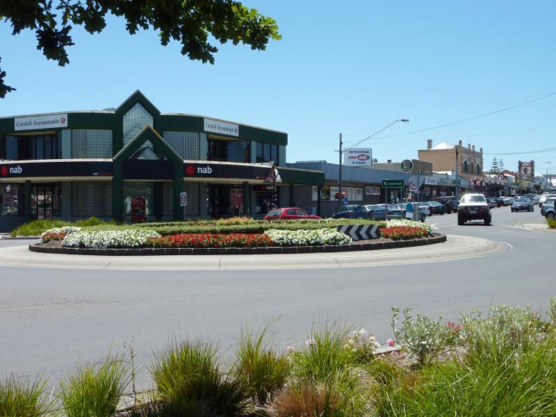
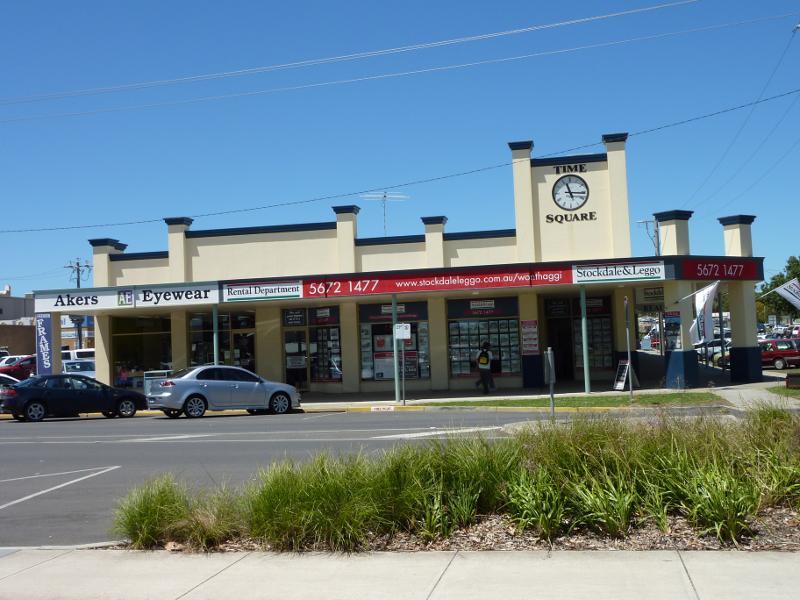
Shops and Commercial Centre, Graham Street, McBride Avenue, Murray Street - Time Square, corner Billson St and Murray St
Shops and Commercial Centre, Graham Street, McBride Avenue, Murray Street - View west along Murray St between Billson St and McBride Av
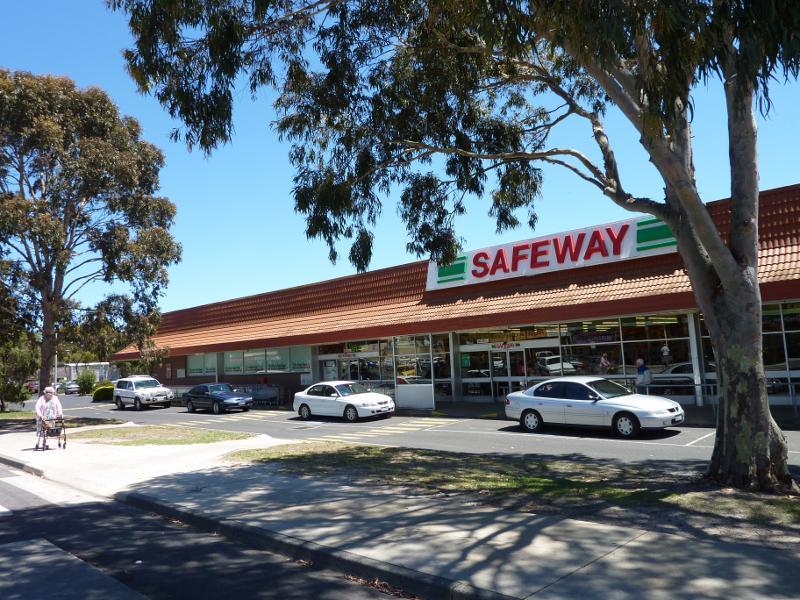
Shops and Commercial Centre, Graham Street, McBride Avenue, Murray Street - Supermarket, Murray St between Billson St and McBride Av
Apex Park, Murray Street - View north towards Apex Park from Murray St at McBride Av
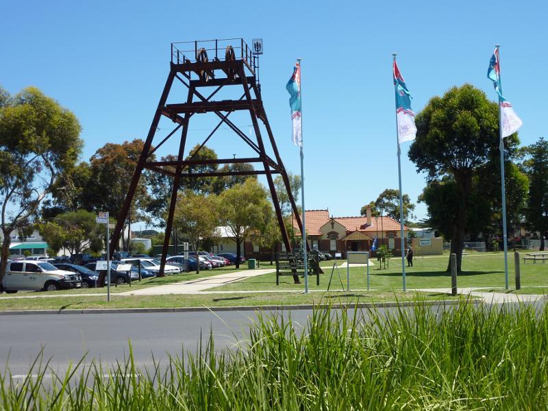
Apex Park, Murray Street - Mine poppet head
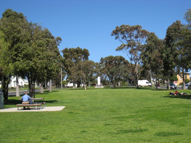
Apex Park, Murray Street - View south through park towards McBride Av and Wonthaggi Hotel
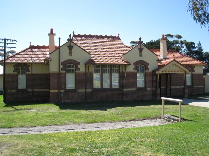
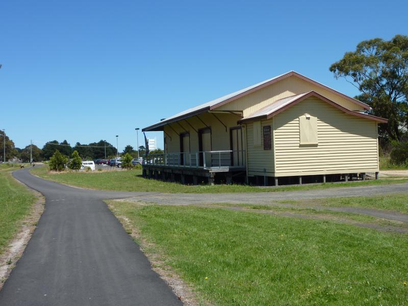
Apex Park, Murray Street - Railway station museum
Apex Park, Murray Street - View west along Bass Coast Rail Trail at railway museum
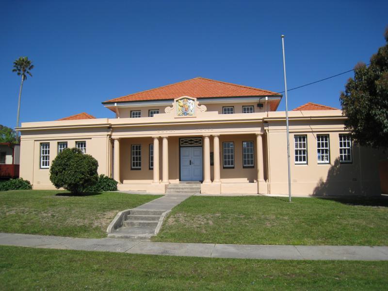
Watt Street and gardens along centre of southern end of McBride Avenue - Court house, Watt St between McBride Av and Billson St
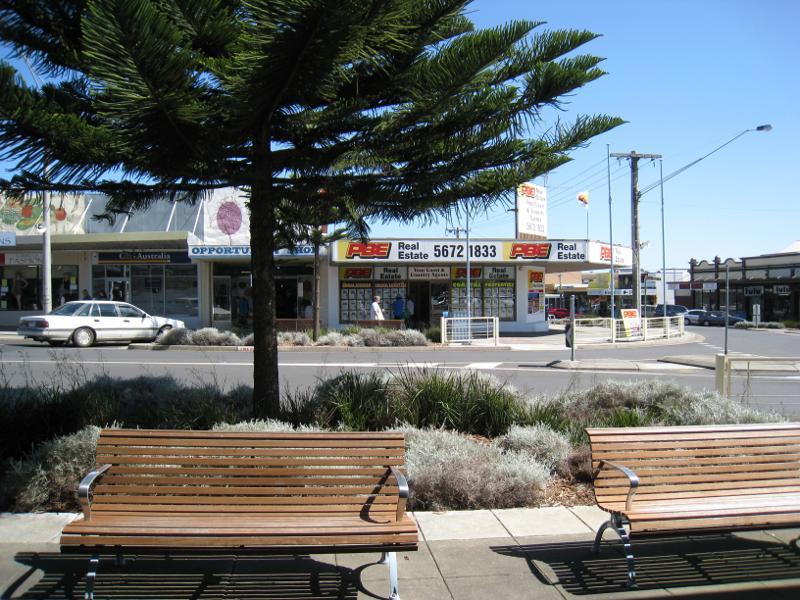
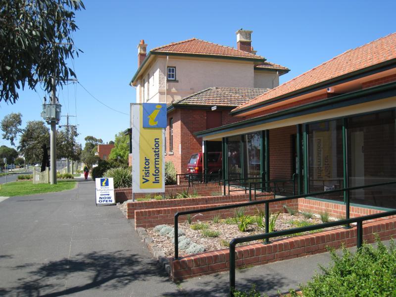
Watt Street and gardens along centre of southern end of McBride Avenue - Visitor information centre, view east along Watt St towards McBride Av
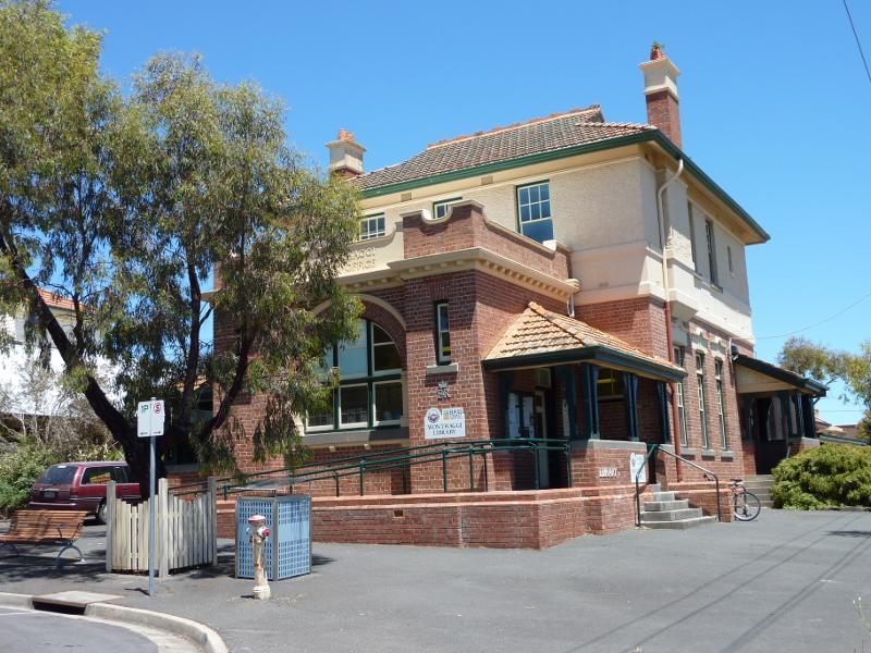
Watt Street and gardens along centre of southern end of McBride Avenue - Wonthaggi Library, corner McBride Av and Watt St
Watt Street and gardens along centre of southern end of McBride Avenue - View south across Watt St from McBride Av
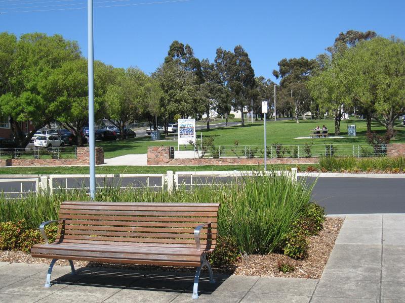
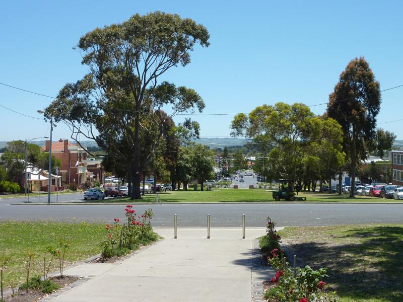
Watt Street and gardens along centre of southern end of McBride Avenue - View south along gardens in centre of McBride Av from Watt St
Watt Street and gardens along centre of southern end of McBride Avenue - Wonthaggi Secondary School, corner Watt St and McBride Av
Watt Street and gardens along centre of southern end of McBride Avenue - View south along McBride Av between Watt St and Baillieu St
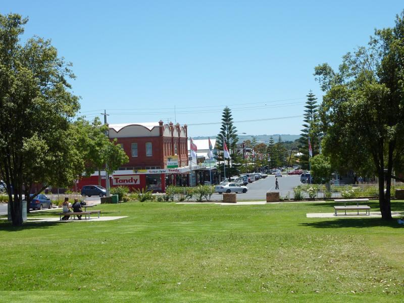
Watt Street and gardens along centre of southern end of McBride Avenue - View south along gardens in centre of McBride Av
Watt Street and gardens along centre of southern end of McBride Avenue - View north through gardens towards Watt St and shops on McBride Av
Watt Street and gardens along centre of southern end of McBride Avenue - View north through gardens towards Watt St
Watt Street and gardens along centre of southern end of McBride Avenue - Bass Coast Shire Civic Centre, west side of McBride Av
Watt Street and gardens along centre of southern end of McBride Avenue - View north along McBride Av towards Baillieu St
Watt Street and gardens along centre of southern end of McBride Avenue - War memorial in gardens in centre of McBride Av at Baillieu St
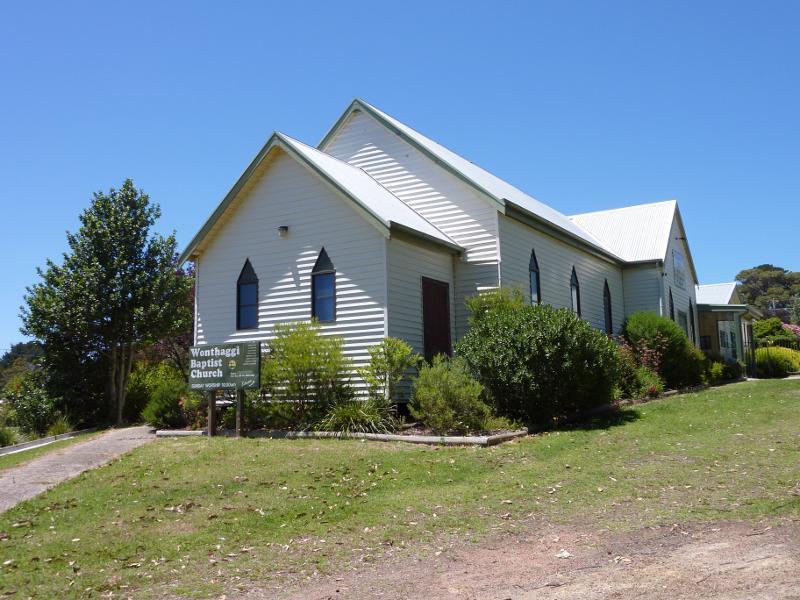
Churches in Wonthaggi - Wonthaggi Baptist Church, corner McBride Av and Broome Cr
Churches in Wonthaggi - St Josephs Catholic Church, corner Elizabeth St and Dowling St
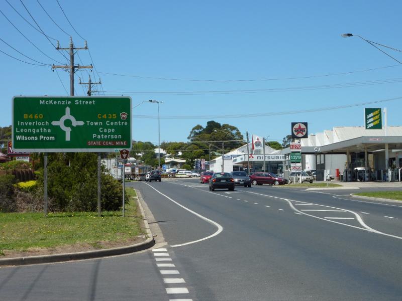
McKenzie Street - View north along McKenzie St at Graham St
McKenzie Street - View south along McKenzie St towards Graham St
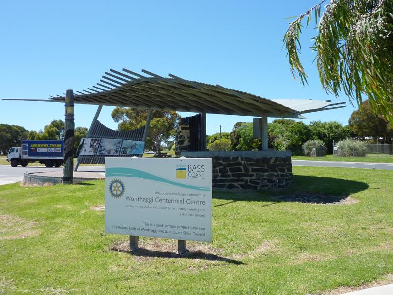
McKenzie Street - Wonthaggi Centennial Centre, corner McKenzie St and Bent St
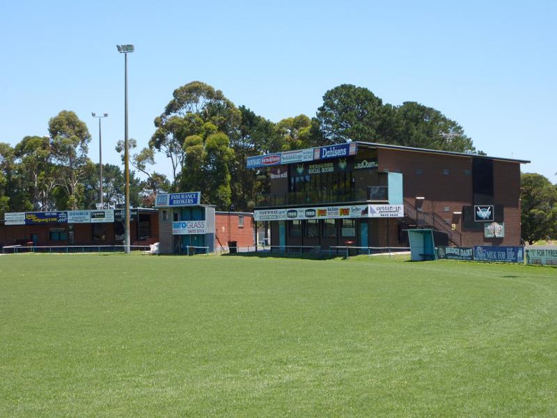
Recreation Reserve, Korumburra Road - Pavillion at No.1 oval
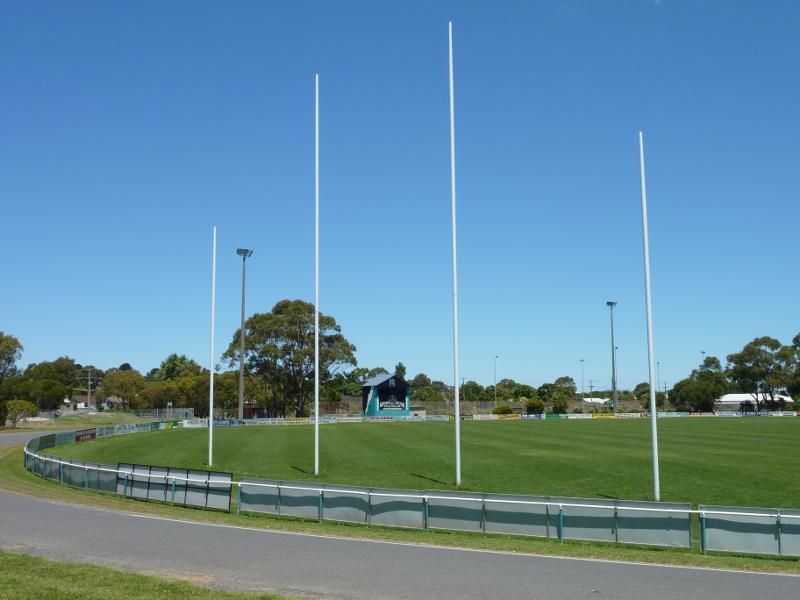
Recreation Reserve, Korumburra Road - Football goals at No.1 oval
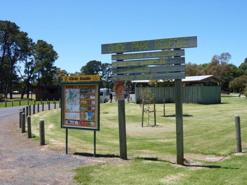
Guide Park, Graham Street at South Dudley Road - Entrance to park at South Dudley Rd
Guide Park, Graham Street at South Dudley Road - Picnic and BBQ areas
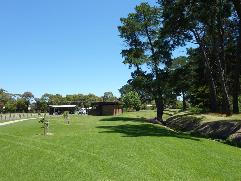
Guide Park, Graham Street at South Dudley Road - View through park towards toilets and shelter
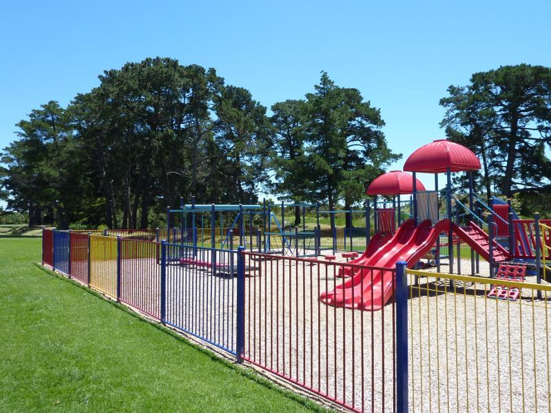
Guide Park, Graham Street at South Dudley Road - Playground
Wonthaggi Wetlands Conservation Park, South Dudley Road - View south along South Dudley Rd near Station St
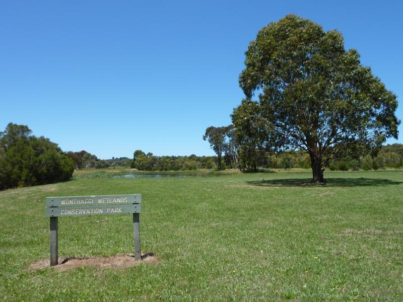
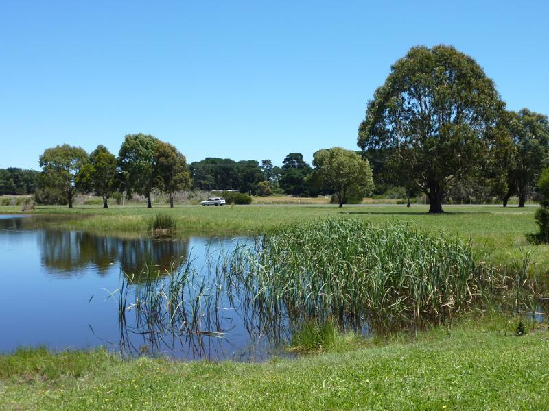
Wonthaggi Wetlands Conservation Park, South Dudley Road - View east towards wetlands from South Dudley Rd near Station St
Wonthaggi Wetlands Conservation Park, South Dudley Road - View west across lake towards South Dudley Rd
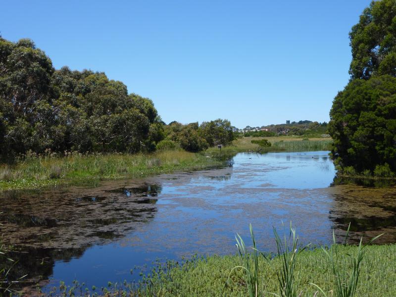
Wonthaggi Wetlands Conservation Park, South Dudley Road - Lake
Wonthaggi Wetlands Conservation Park, South Dudley Road - Easterly view along lake
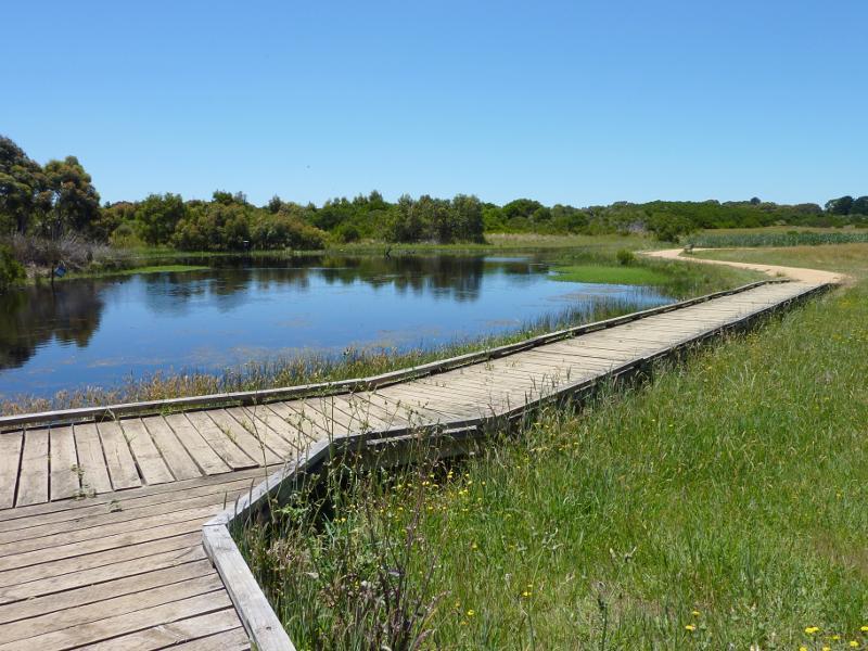
Wonthaggi Wetlands Conservation Park, South Dudley Road - Boardwalk beside lake
Wonthaggi Wetlands Conservation Park, South Dudley Road - Boardwalk around lake
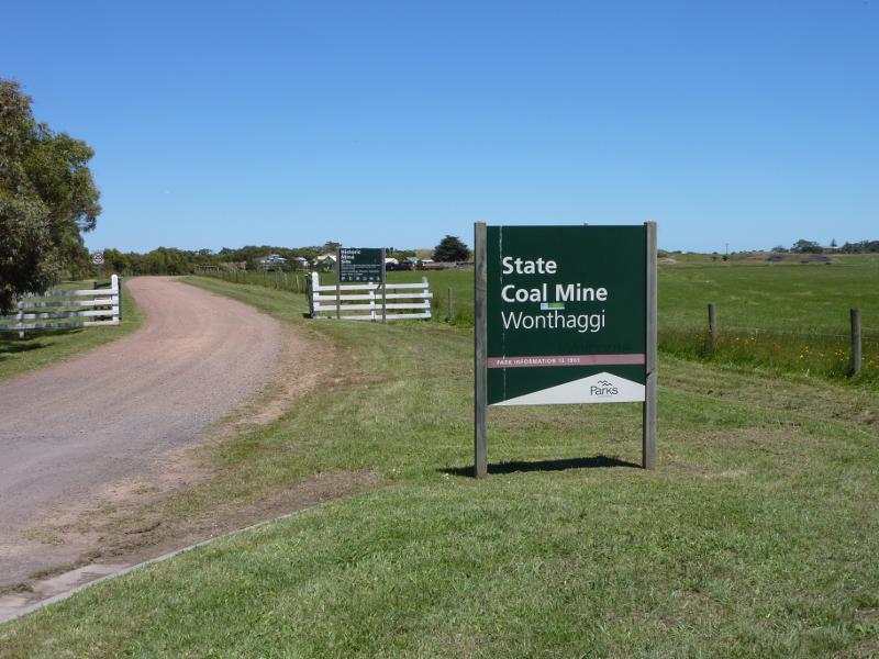
State Coal Mine Historic Reserve - East Area Mine, off Garden Street - Entrance gate at Garden St
State Coal Mine Historic Reserve - East Area Mine, off Garden Street - View towards mine from entrance gate
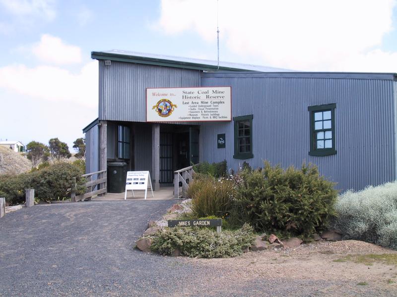
State Coal Mine Historic Reserve - East Area Mine, off Garden Street - Visitor centre
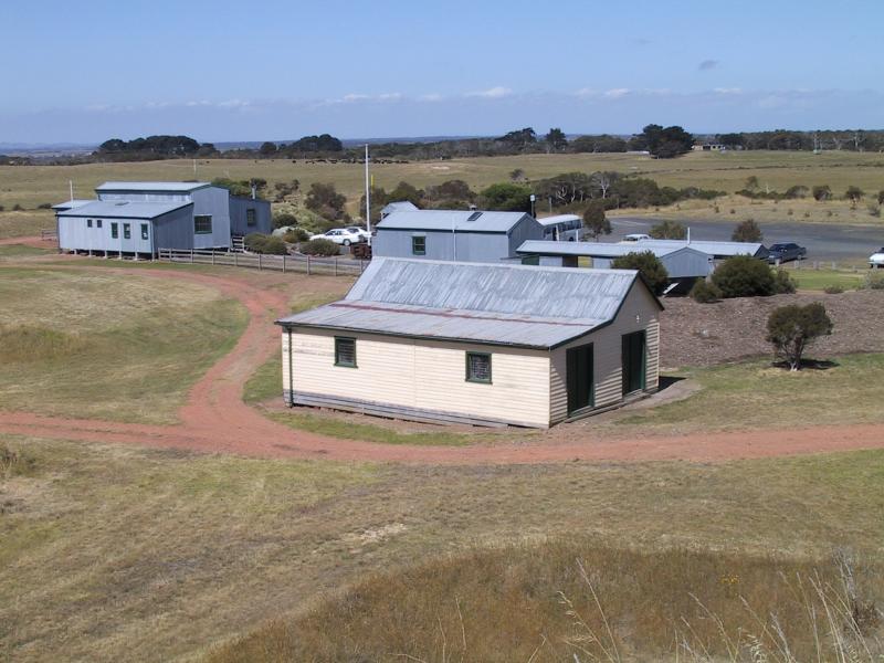
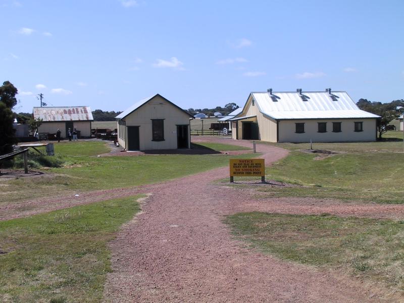
State Coal Mine Historic Reserve - East Area Mine, off Garden Street - Historic buildings
State Coal Mine Historic Reserve - East Area Mine, off Garden Street - Historic buildings
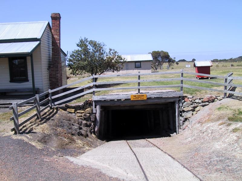
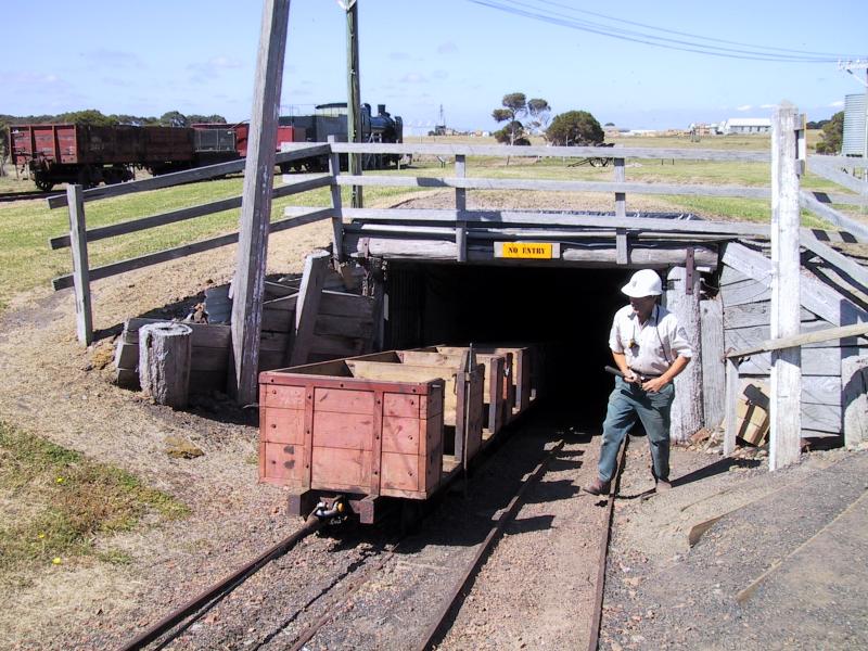
State Coal Mine Historic Reserve - East Area Mine, off Garden Street - Mine entrance
State Coal Mine Historic Reserve - East Area Mine, off Garden Street - Inside the mine
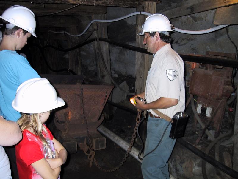
State Coal Mine Historic Reserve - East Area Mine, off Garden Street - The tourist guide shows visitors the mine
State Coal Mine Historic Reserve - East Area Mine, off Garden Street - The tourist guide demonstrates some mining tools
State Coal Mine Historic Reserve - East Area Mine, off Garden Street - A series of carts winches visitors out of the mine
State Coal Mine Historic Reserve - Central Area Mine, West Area Road - Remains of rescue station
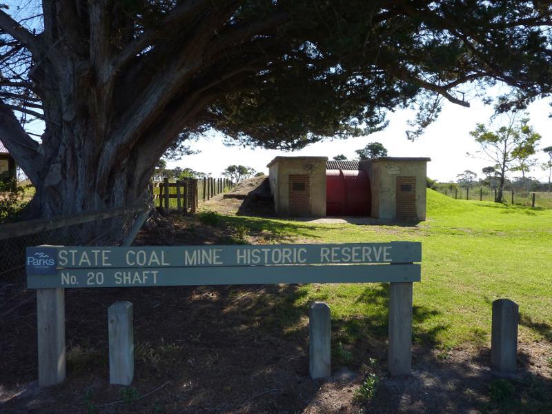
State Coal Mine Historic Reserve - No. 20 Shaft, Bass Highway - Information shelter
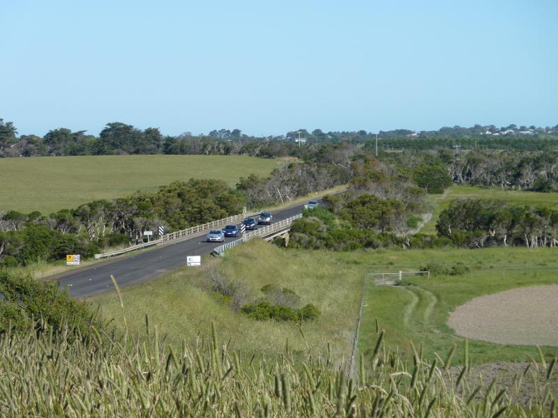
Bass Highway north-west of Wonthaggi near Powlett River - View south-east along Bass Hwy towards Powlett River
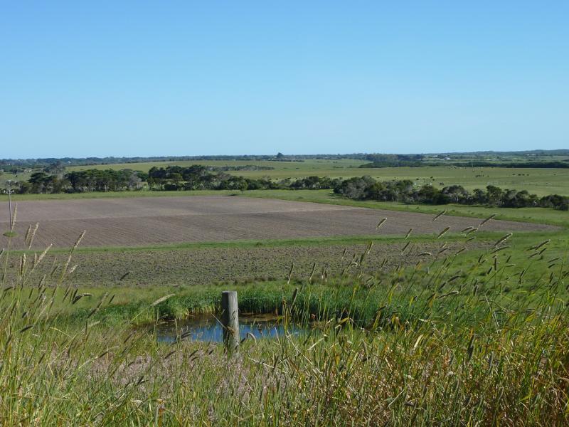
Bass Highway north-west of Wonthaggi near Powlett River - South-easterly view across fields
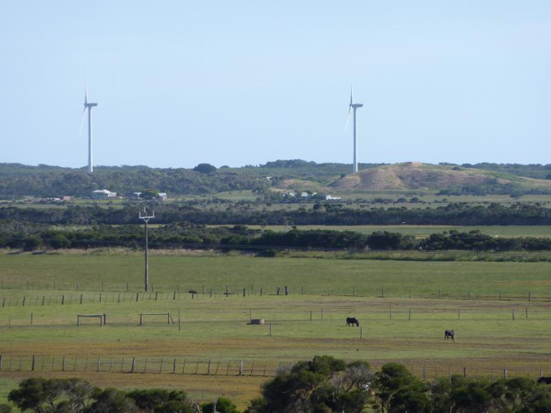
Bass Highway north-west of Wonthaggi near Powlett River - Southerly view towards wind farm
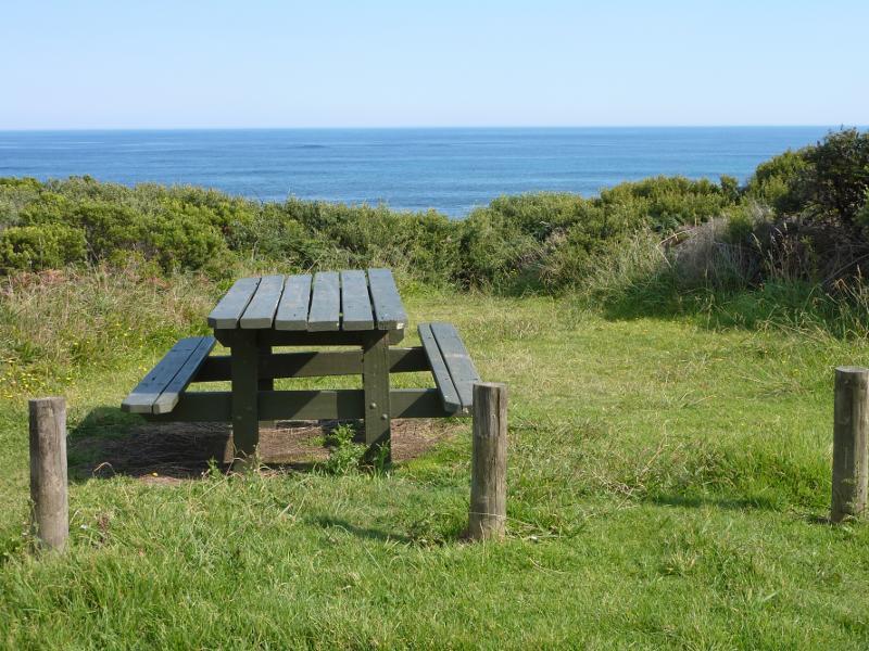
Harmers Haven Beach, off Viminaria Road - Picnic area at top of cliffs overlooking beach
Harmers Haven Beach, off Viminaria Road - South-easterly view along coast from top of steps to beach
Harmers Haven Beach, off Viminaria Road - South-easterly view towards Cape Paterson from top of steps to beach
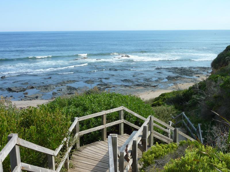
Harmers Haven Beach, off Viminaria Road - Steps down to beach
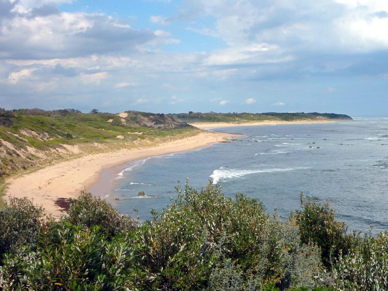
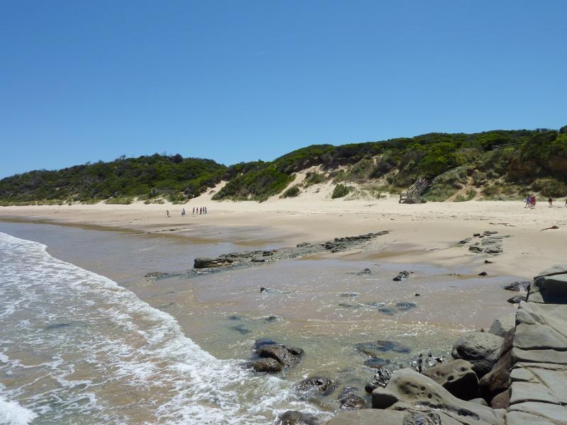
Harmers Haven Beach, off Viminaria Road - Westerly view along coast from beach
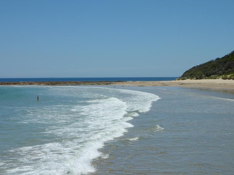
Harmers Haven Beach, off Viminaria Road - View to ocean from beach
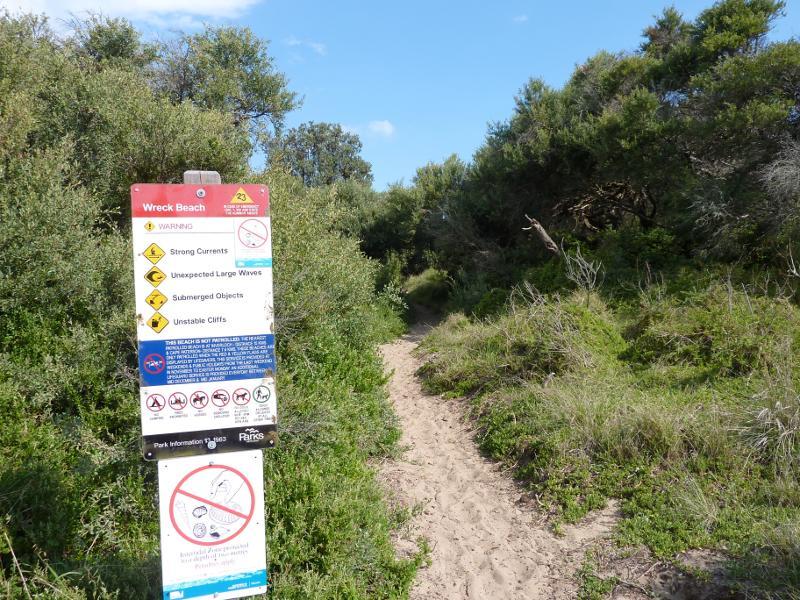
Wreck Beach, off southern end of Berrys Road - Pathway from car park
Wreck Beach, off southern end of Berrys Road - View along pathway to beach
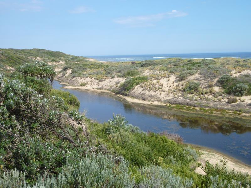
Wreck Beach, off southern end of Berrys Road - South-easterly view along lagoon
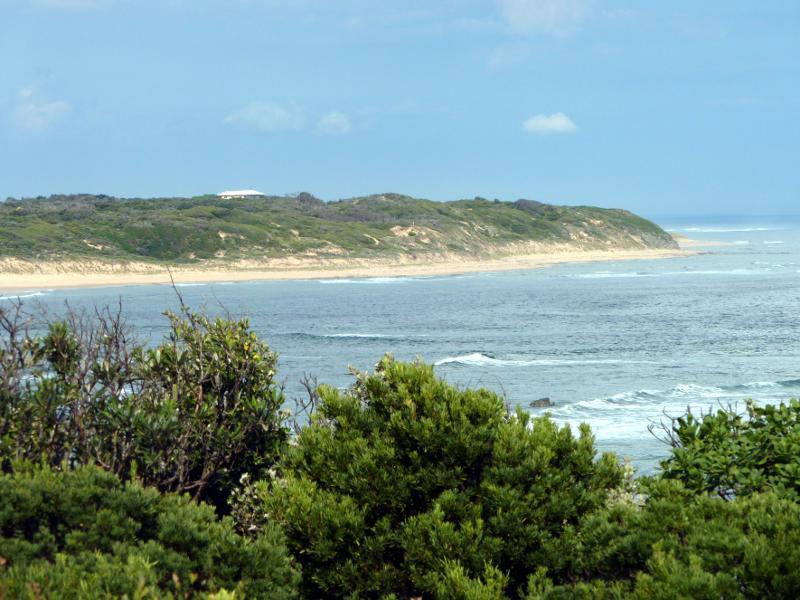
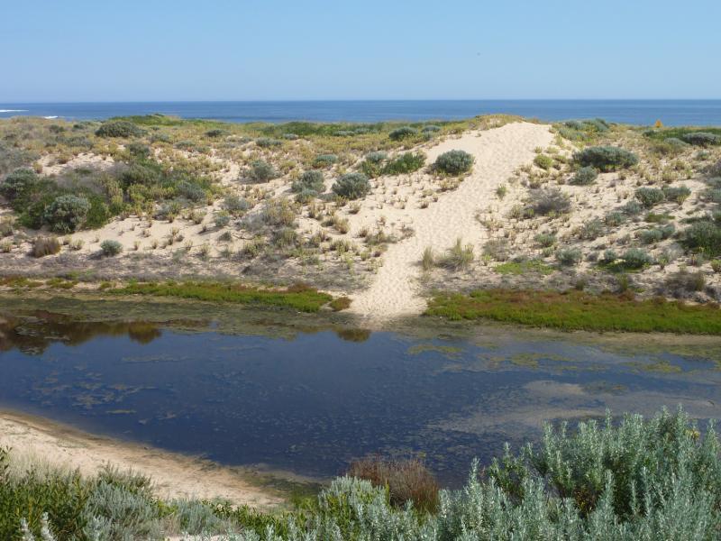
Wreck Beach, off southern end of Berrys Road - View over lagoon towards sand dunes and ocean
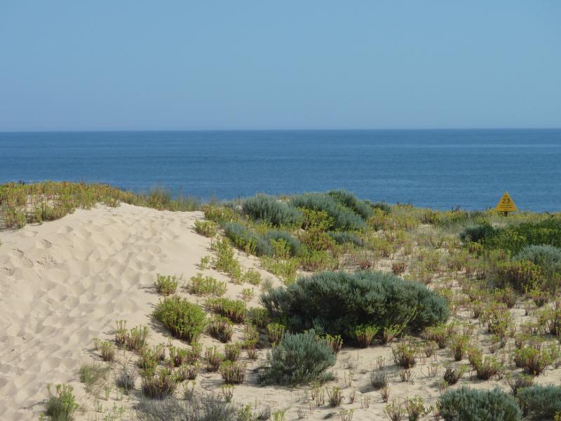
Wreck Beach, off southern end of Berrys Road - View to ocean from top of coastal sand dunes
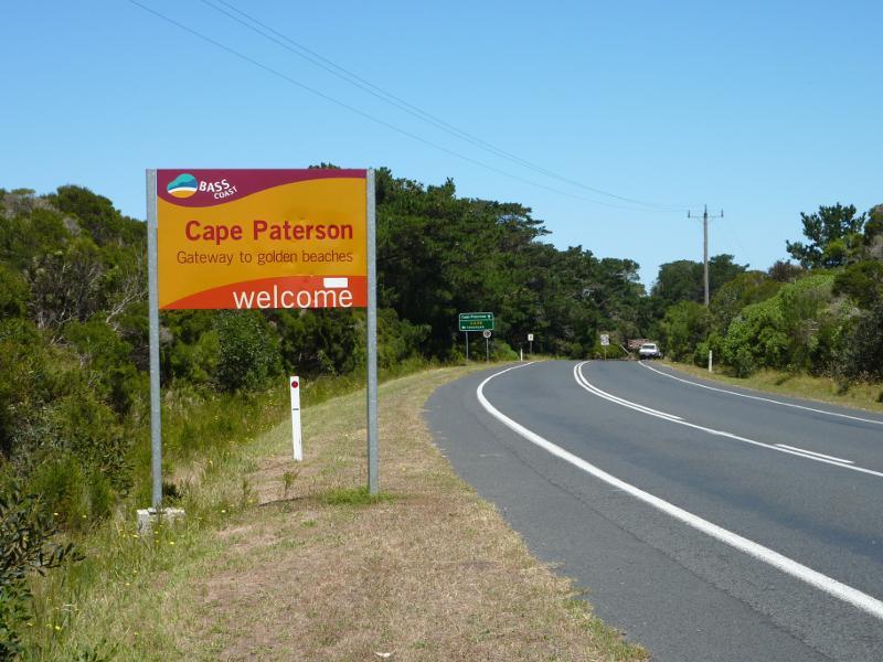
Cape Paterson Road approaching Cape Paterson - Cape Paterson town sign, view south along Cape Paterson Rd
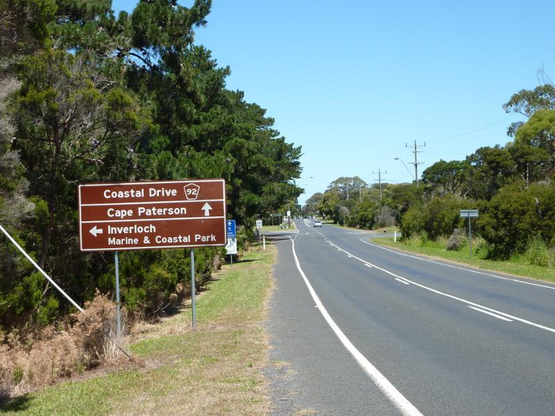
Cape Paterson Road approaching Cape Paterson - View south along Cape Paterson Rd towards Inverloch Rd
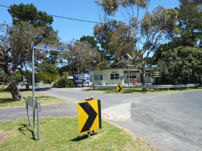
Cape Paterson - town centre along Surf Beach Road - Caravan park, corner Cape Paterson Rd and Surf Beach Rd
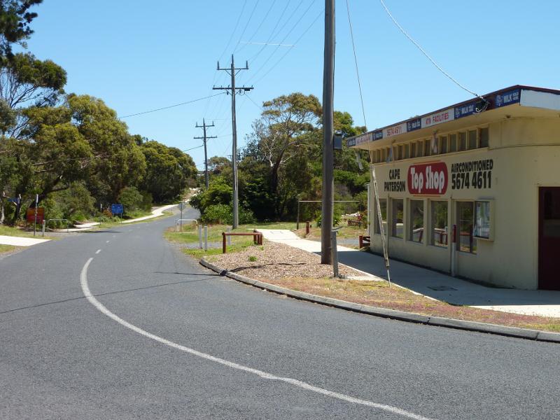
Cape Paterson - town centre along Surf Beach Road - View west along Surf Beach Rd at Cape Paterson Rd
Cape Paterson - town centre along Surf Beach Road - Shops along north side of Surf Beach Rd at Market Pl
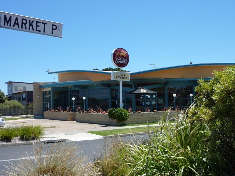
Cape Paterson - town centre along Surf Beach Road - Cape Tavern, corner Surf Beach Rd and Market Pl
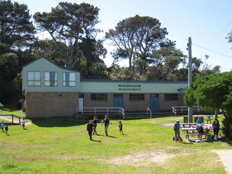
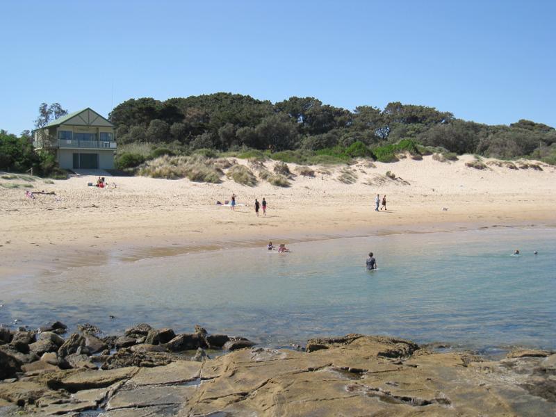
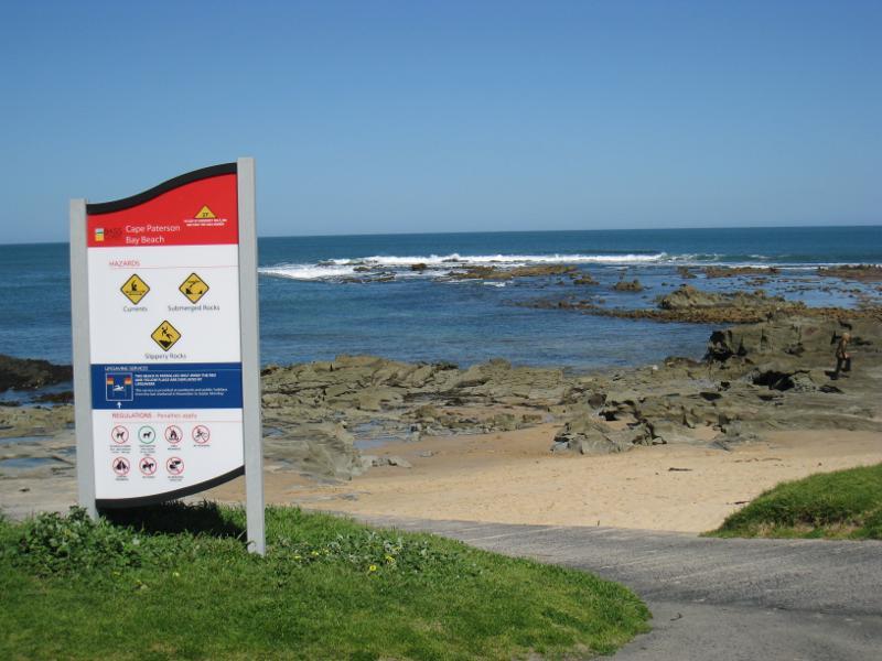
Cape Paterson - Bay Beach and boat ramp - Wonthaggi Life Saving Club and surrounding picnic area
Cape Paterson - Bay Beach and boat ramp - View across picnic area towards lookout tower facing beach
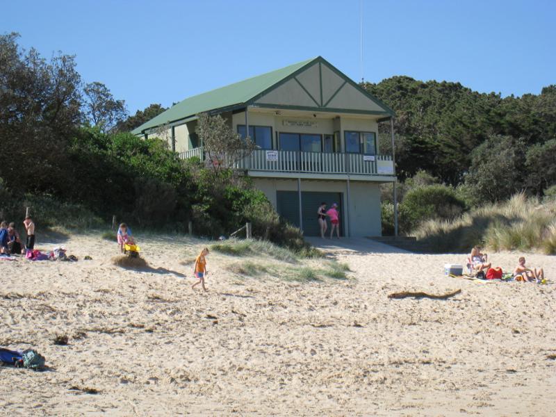
Cape Paterson - Bay Beach and boat ramp - Wonthaggi Life Saving Club tower overlooking beach
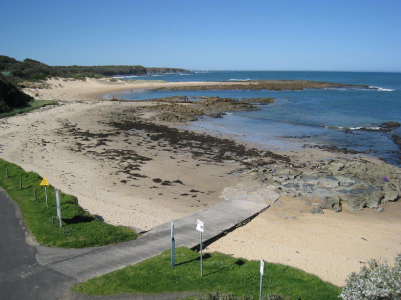
Cape Paterson - Bay Beach and boat ramp - View south-east across beach from near lookout tower
Cape Paterson - Bay Beach and boat ramp - View south down to beach from near lookout tower
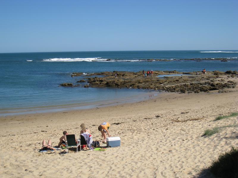
Cape Paterson - Bay Beach and boat ramp - View south-west towards rock pool
Cape Paterson - Bay Beach and boat ramp - View south-west along coast towards rock pool
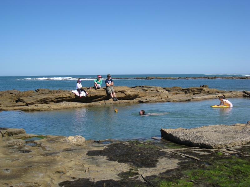
Cape Paterson - Bay Beach and boat ramp - View towards lookout tower from rock pool
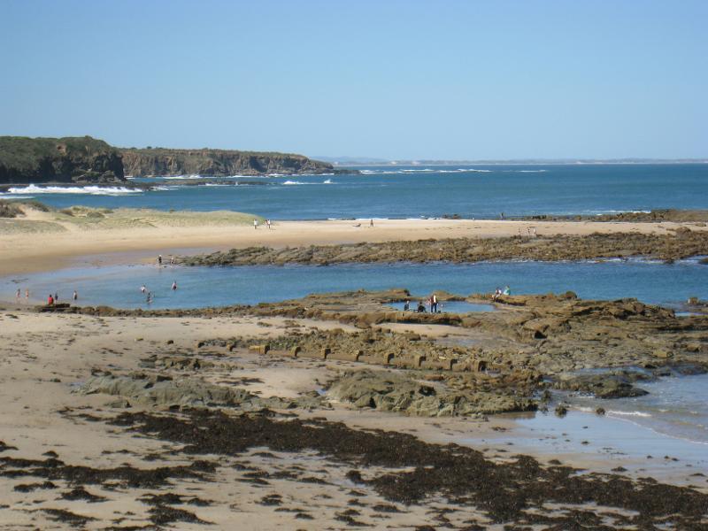
Cape Paterson - Bay Beach and boat ramp - View east towards beach from rock pool
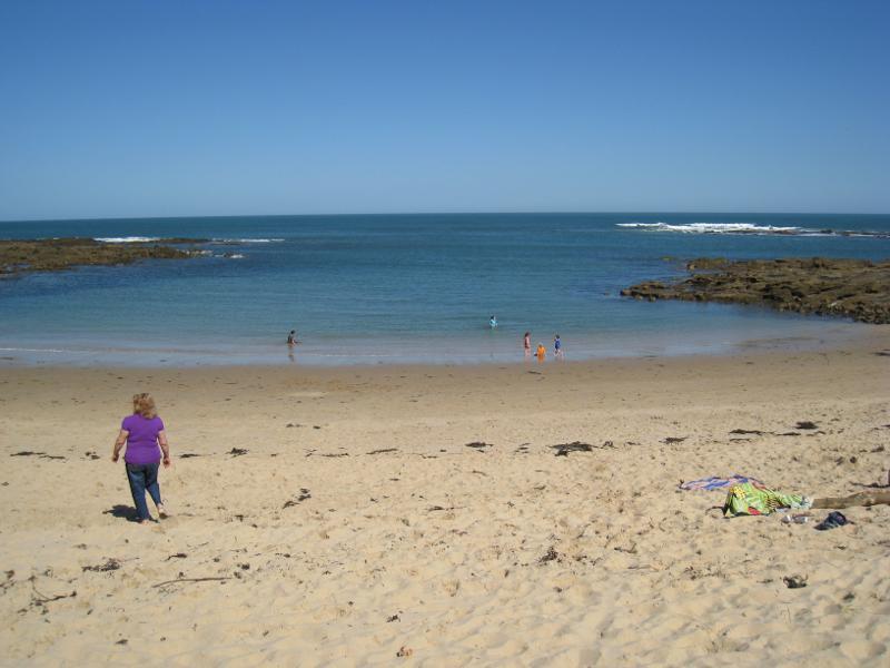
Cape Paterson - Bay Beach and boat ramp - View south-east from rock pool towards ocean
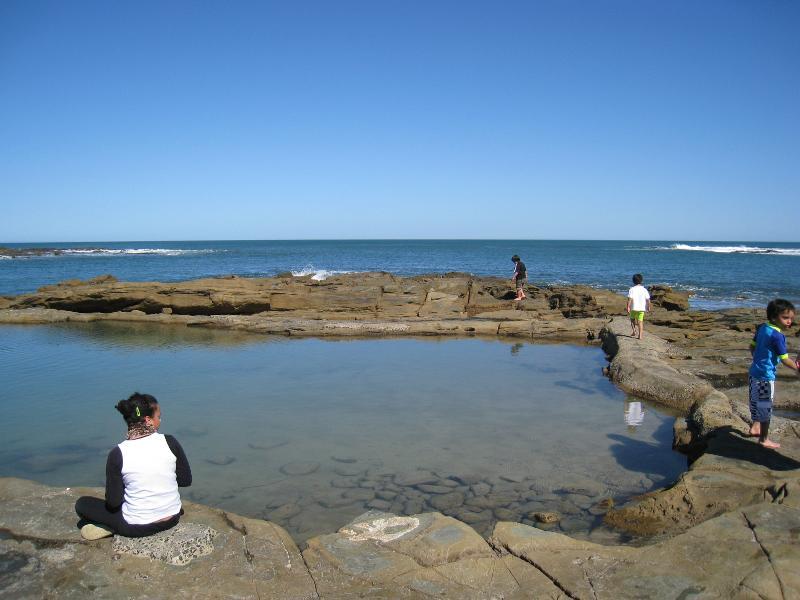
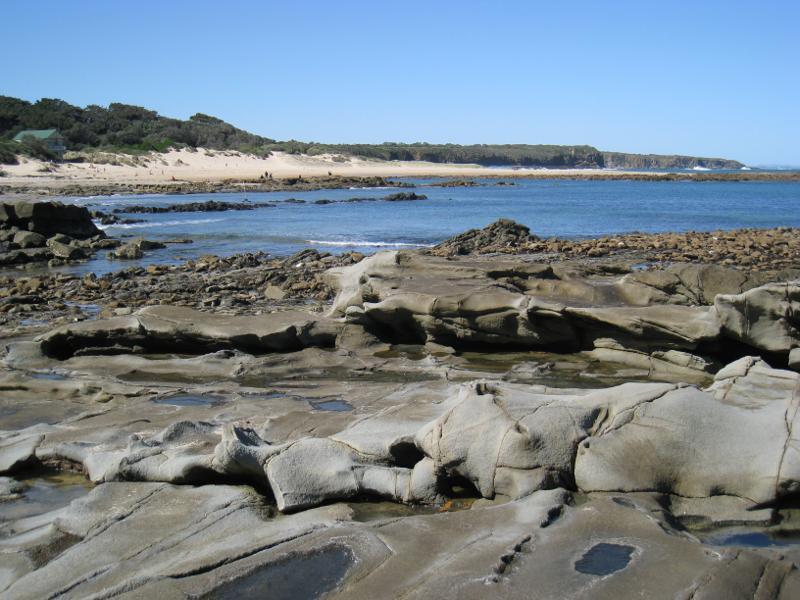
Cape Paterson - Bay Beach and boat ramp - Rock pool
Cape Paterson - Bay Beach and boat ramp - Rock pool
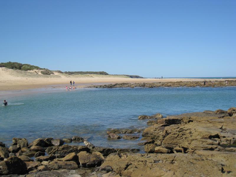
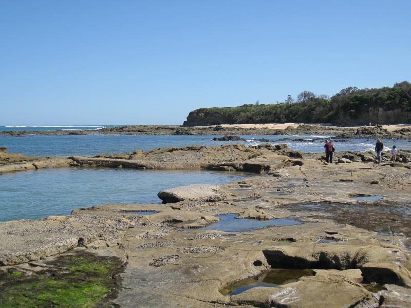
Cape Paterson - Bay Beach and boat ramp - View south-west along coast from rock pool
Cape Paterson - Bay Beach and boat ramp - Beach and rocks between rock pool and boat ramp
Cape Paterson - Bay Beach and boat ramp - View south-west along coast towards boat ramp
Cape Paterson - Bay Beach and boat ramp - Entrance to boat ramp
Cape Paterson - Bay Beach and boat ramp - Easterly view along coast from car park above boat ramp
Cape Paterson - Bay Beach and boat ramp - Easterly view towards rock pool from car park above boat ramp
Cape Paterson - Bay Beach and boat ramp - View east along coast near boat ramp
Cape Paterson - Bay Beach and boat ramp - South-easterly view from rock platform near boat ramp
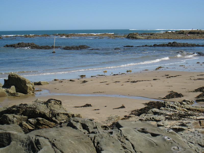
Cape Paterson - Bay Beach and boat ramp - Rocks on beach west of boat ramp
Cape Paterson - Bay Beach and boat ramp - View south-west towards headland west of boat ramp
Cape Paterson - Bay Beach and boat ramp - Rocky headland, west of boat ramp
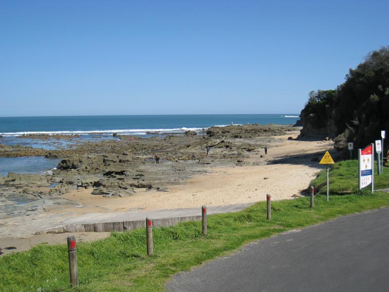
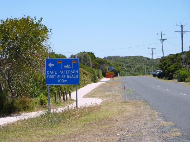
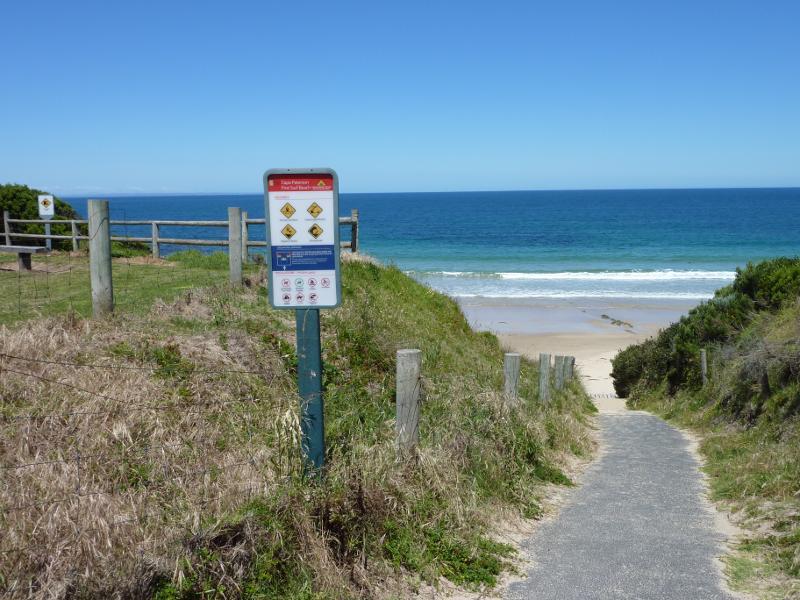
Cape Paterson - First Surf Beach near western end of Surf Beach Road - View west along Surf Beach Rd towards entrance to First Surf Beach
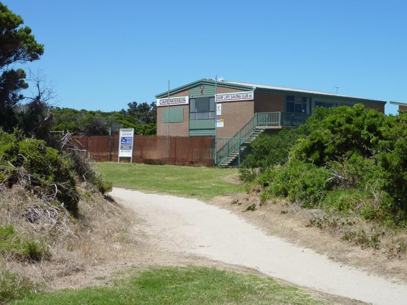
Cape Paterson - First Surf Beach near western end of Surf Beach Road - Cape Paterson Surf Life Saving Club, viewed from pathway between car park and beach
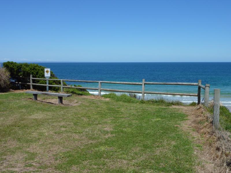
Cape Paterson - First Surf Beach near western end of Surf Beach Road - Viewing area above beach
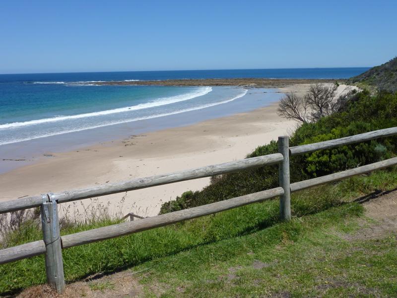
Cape Paterson - First Surf Beach near western end of Surf Beach Road - View south-west along coast from viewing area above beach
Cape Paterson - First Surf Beach near western end of Surf Beach Road - Pathway down to beach
Cape Paterson - First Surf Beach near western end of Surf Beach Road - View east along beach
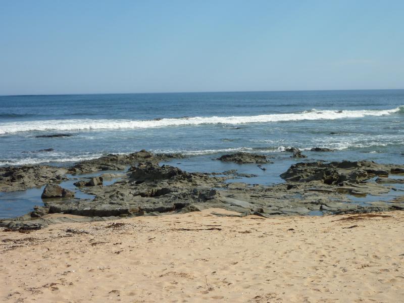
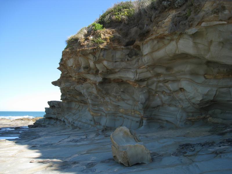
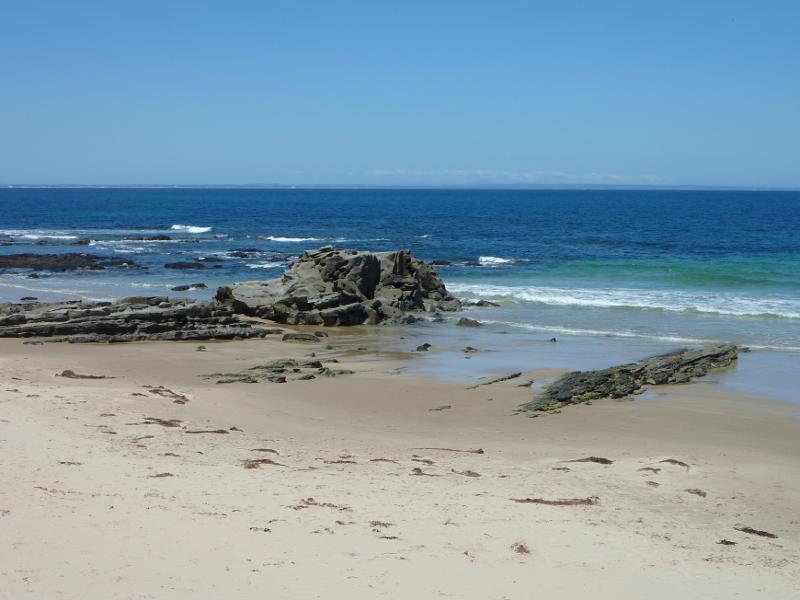
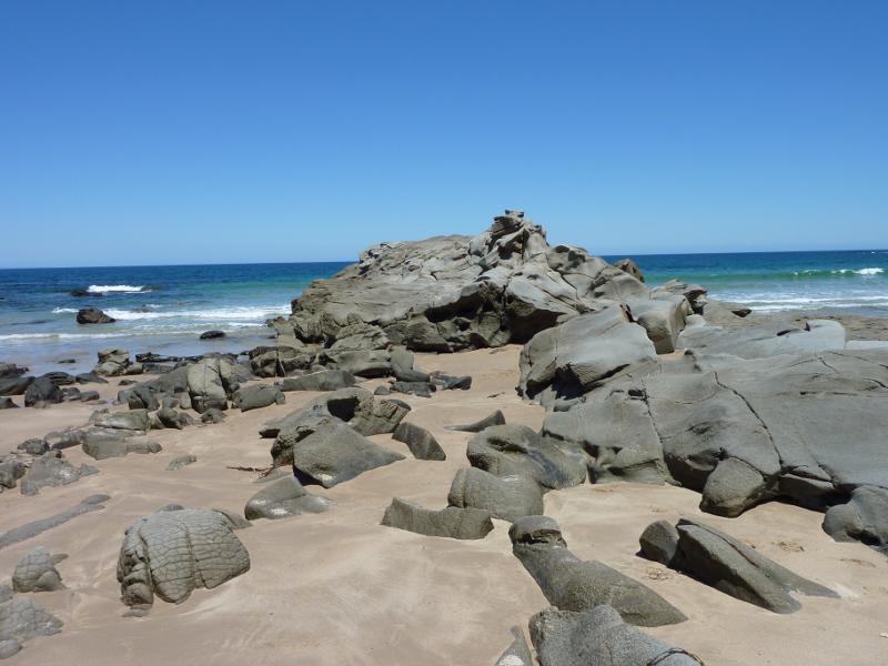
Cape Paterson - First Surf Beach near western end of Surf Beach Road - Rocks on the beach
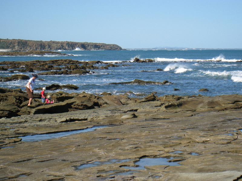
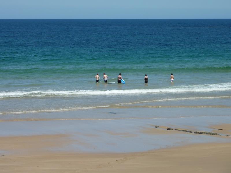
Cape Paterson - First Surf Beach near western end of Surf Beach Road - People in the water
Cape Paterson - First Surf Beach near western end of Surf Beach Road - View south-west along beach
Cape Paterson - First Surf Beach near western end of Surf Beach Road - Rocks on the beach
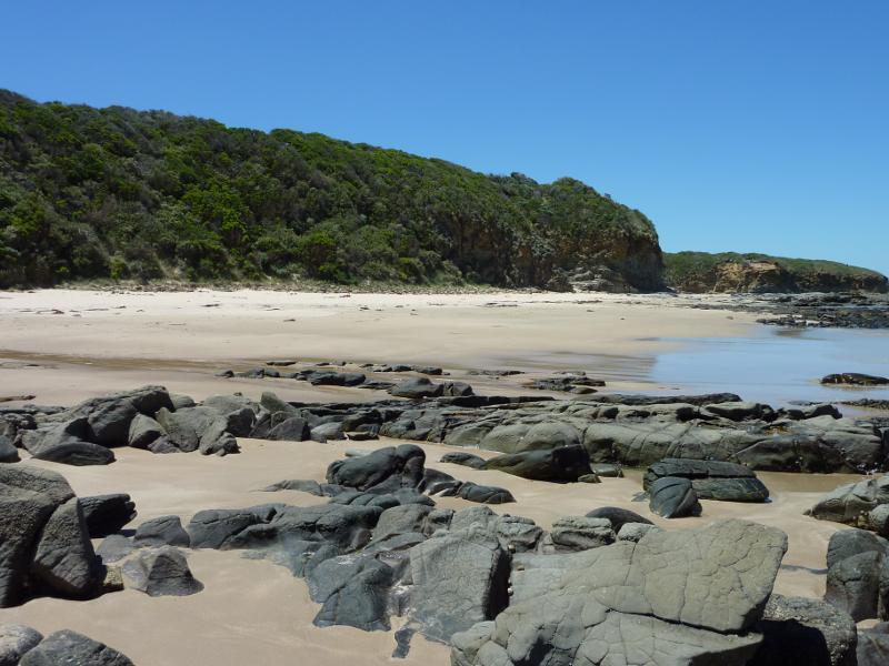
Cape Paterson - First Surf Beach near western end of Surf Beach Road - View north-east along beach
Cape Paterson - First Surf Beach near western end of Surf Beach Road - View east along beach
Cape Paterson - First Surf Beach near western end of Surf Beach Road - View east along beach
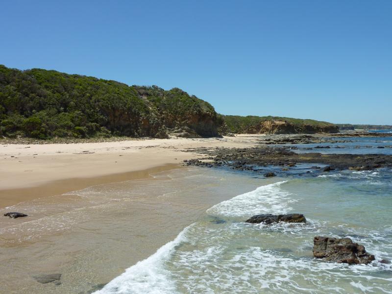
Cape Paterson - First Surf Beach near western end of Surf Beach Road - View west along beach
Cape Paterson - First Surf Beach near western end of Surf Beach Road - View south-west along beach