Woodend - photos
Woodend
Stay
See and do
Food and drink
Shopping
Getting around
Visitor information
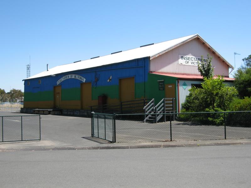 Shops and commercial centre, High Street - Insectarium of Victoria, off Urquhart St near railway station
 Shops and commercial centre, High Street - View west at corner of High St and Urquhart St
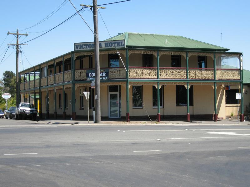 Shops and commercial centre, High Street - Victoria Hotel, view west along Urquhart St at High St
 Shops and commercial centre, High Street - View east along Urquhart St at High St
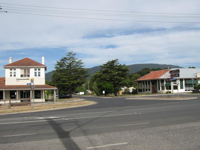
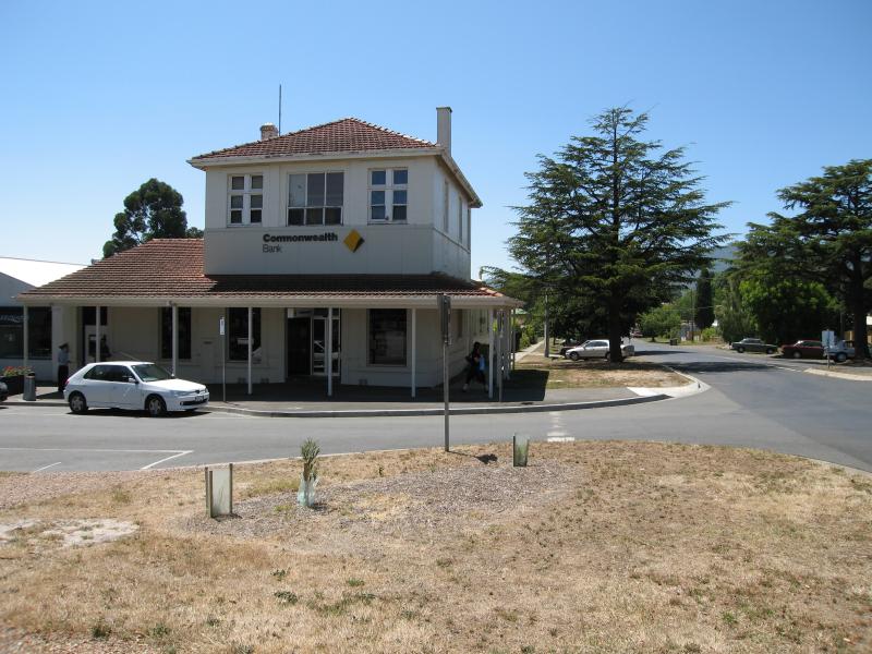 Shops and commercial centre, High Street - Commonwealth Bank, view east along Urquhart St at High St
 Shops and commercial centre, High Street - View north along High St towards Anslow St
 Shops and commercial centre, High Street - View north along High St towards Anslow St
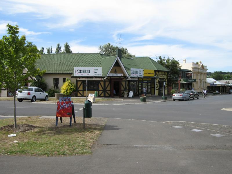
 Shops and commercial centre, High Street - View west across High St at Anslow St
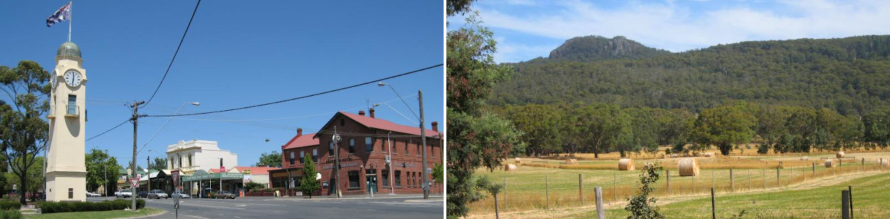
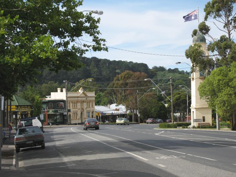
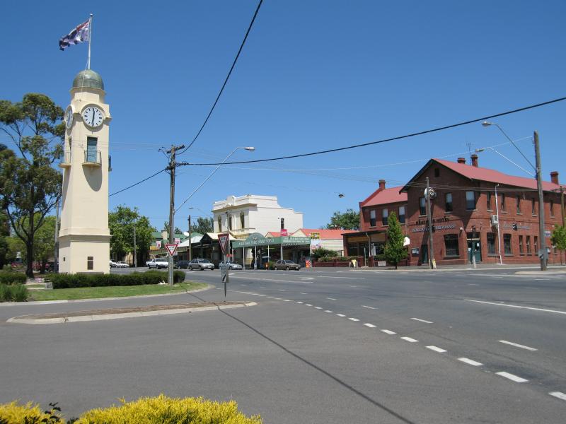
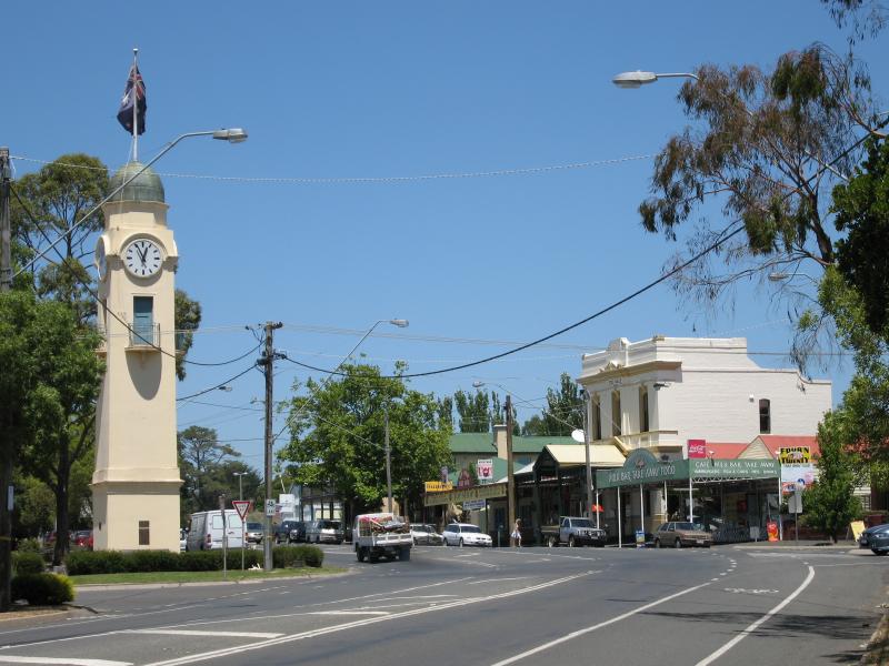
 Shops and commercial centre, High Street - Clock tower, view west along Anslow St at High St
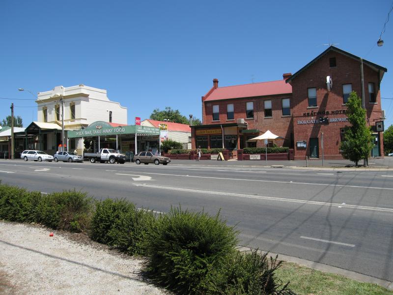
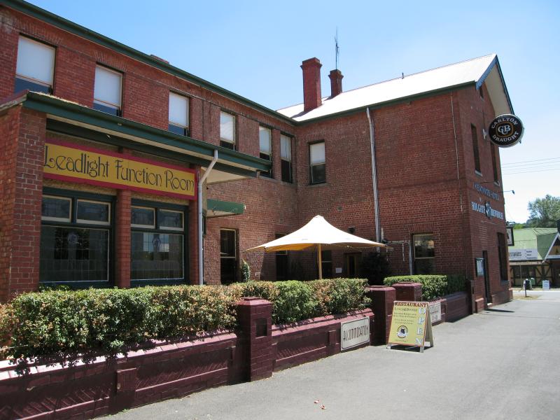 Shops and commercial centre, High Street - Keatings Hotel and Holgate Brewhouse, view north along High St towards Anslow St
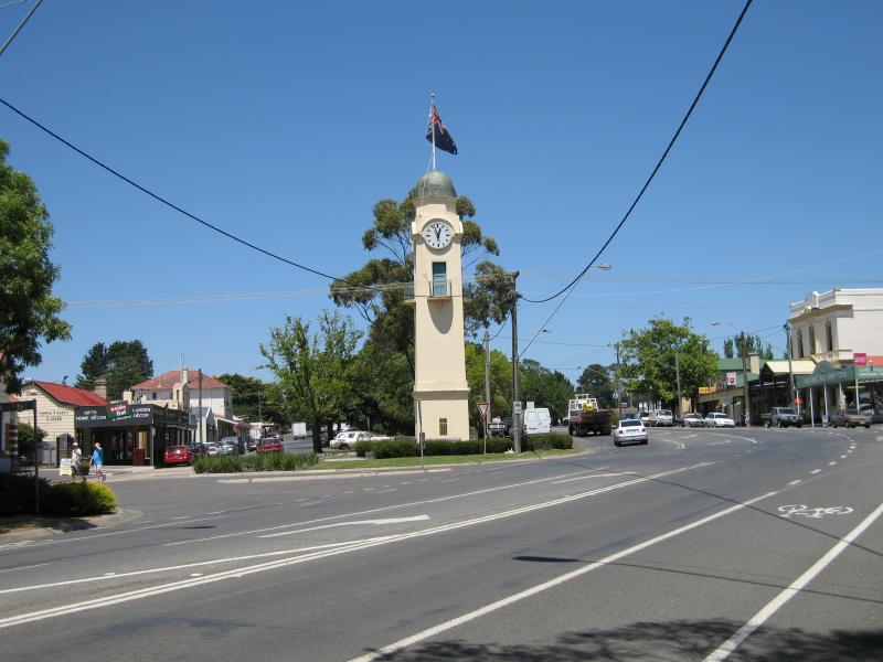
 Shops and commercial centre, High Street - View south along High St towards Anslow St and clock tower
 Shops and commercial centre, High Street - View east across High St at Anslow St towards clock tower and post office
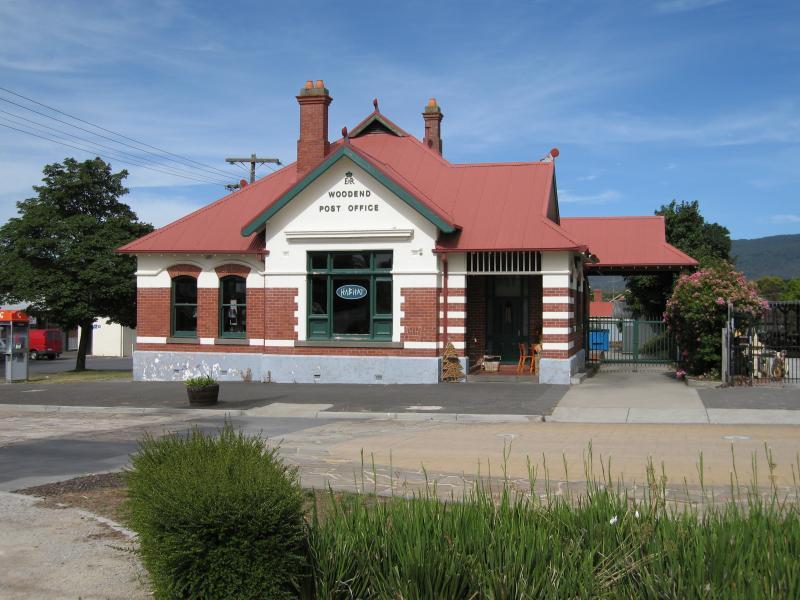 Shops and commercial centre, High Street - Woodend Post Office, corner High St and Anslow St
 Shops and commercial centre, High Street - Post office, view south along High St service road at Anslow St
 Shops and commercial centre, High Street - View north along High St at Anslow St
 Shops and commercial centre, High Street - View south along High St towards Anslow St
 Shops and commercial centre, High Street - View south along High St towards Anslow St
 Shops and commercial centre, High Street - View south along High St towards Anslow St
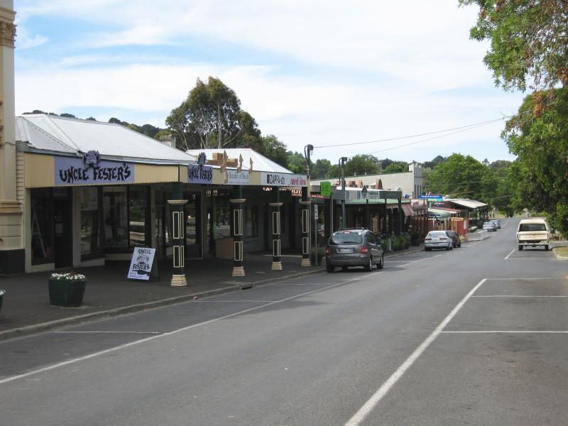
 Shops and commercial centre, High Street - View south along High St between Anslow St and Forest St
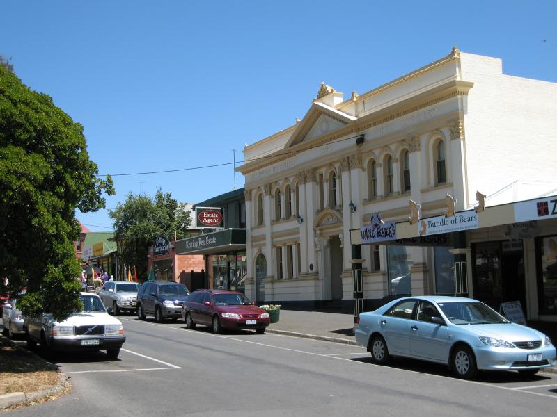 Shops and commercial centre, High Street - Old Mechanics Institute Hall, view south along High St service road between Anslow St and Forest St
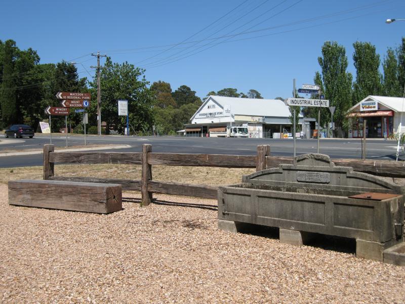
 Shops and commercial centre, High Street - View north along High St service road between Anslow St and Forest St
 Shops and commercial centre, High Street - View south along High St service road at 19th Hole Shopping Centre
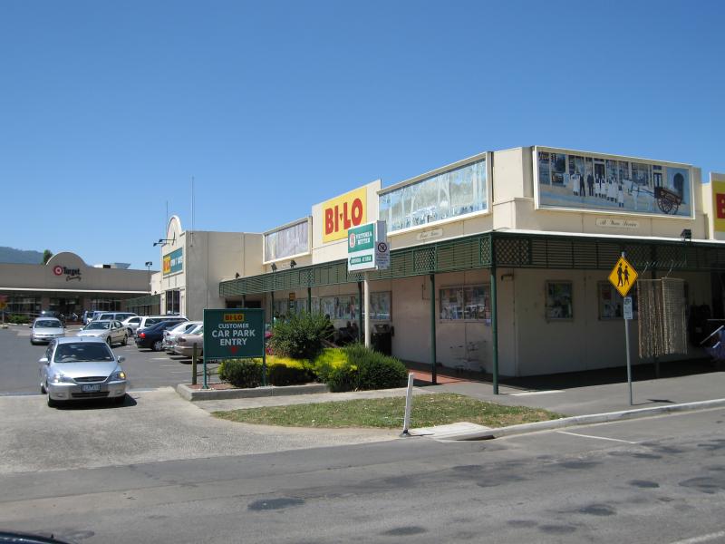 Shops and commercial centre, High Street - Supermarket, 19th Hole Shopping Centre
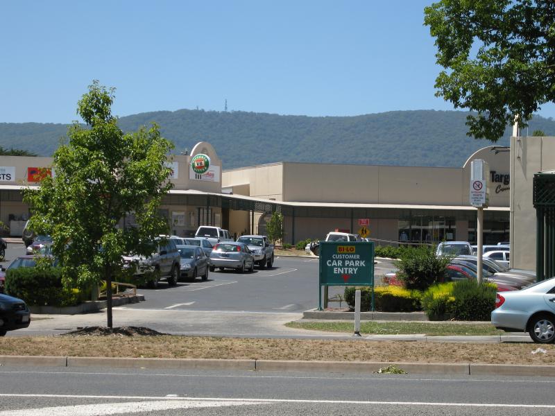 Shops and commercial centre, High Street - View east through car park at 19th Hole Shopping Centre
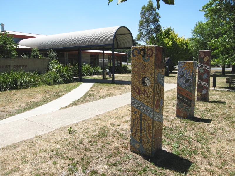 Shops and commercial centre, High Street - Community Centre and Library, corner High St and Forest St
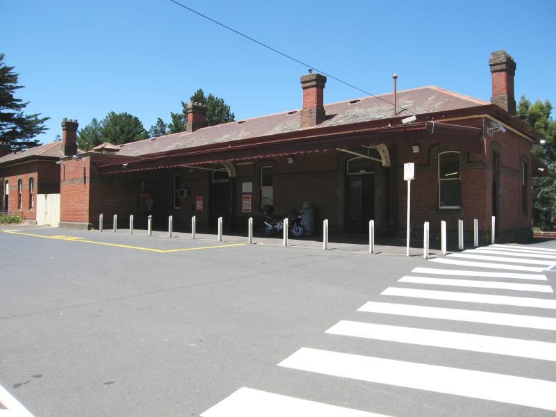 Woodend railway station and surroundings - Railway station viewed from car park off Urquhart St
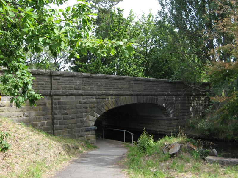
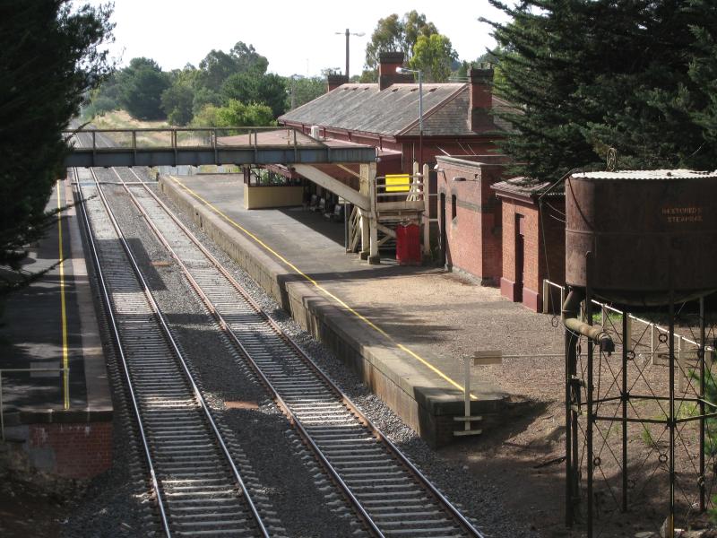 Woodend railway station and surroundings - View north-west towards railway station from bridge at High St
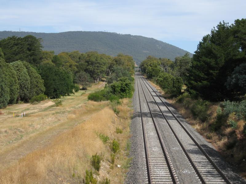 Woodend railway station and surroundings - View south-east along railway line towards Mt Macedon from bridge at High St
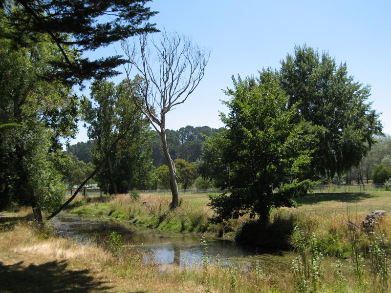
 Five Mile Creek - View east along Five Mile Creek towards bridge at High St
 Five Mile Creek - View west along Five Mile Creek from footbridge near High St
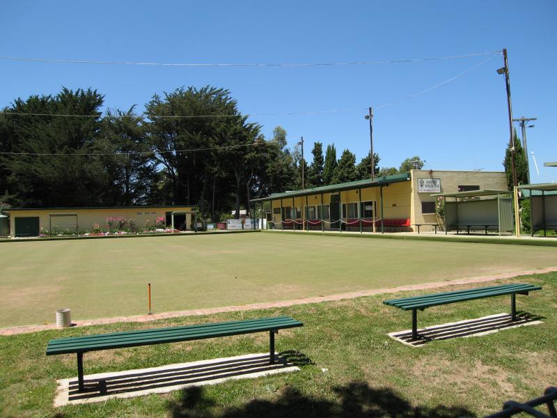 Five Mile Creek - Bowling club, High St at Five Mile Creek
 Five Mile Creek - View south along High St from bowling club
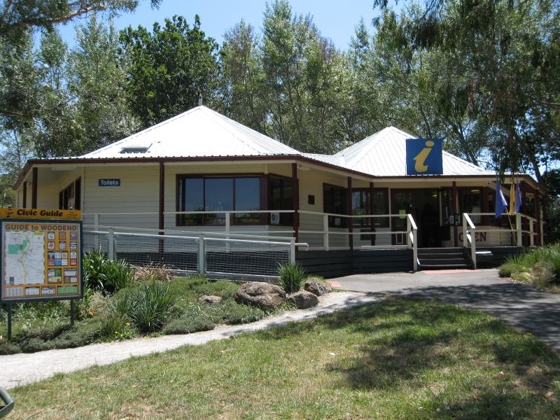 Five Mile Creek - Visitor Information Centre, Five Mile Creek at High St
 Five Mile Creek - View east along Five Mile Creek at northern end of Jeffreys St
 Around Woodend - View south along Black Forest Drive towards Spencer Rd
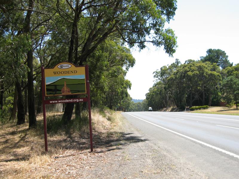 Around Woodend - Woodend town sign, view north along Black Forest Drive near South Rd
 Around Woodend - Masonic Hall, Forest St
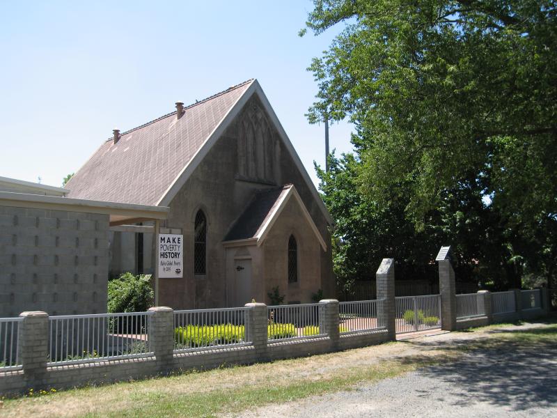 Around Woodend - Uniting Church, Forest St
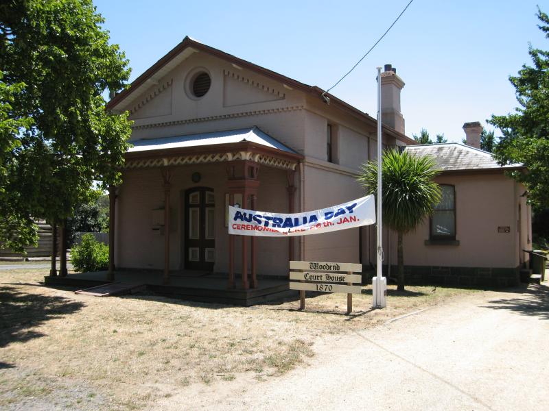 Around Woodend - Woodend Court House, Forest St
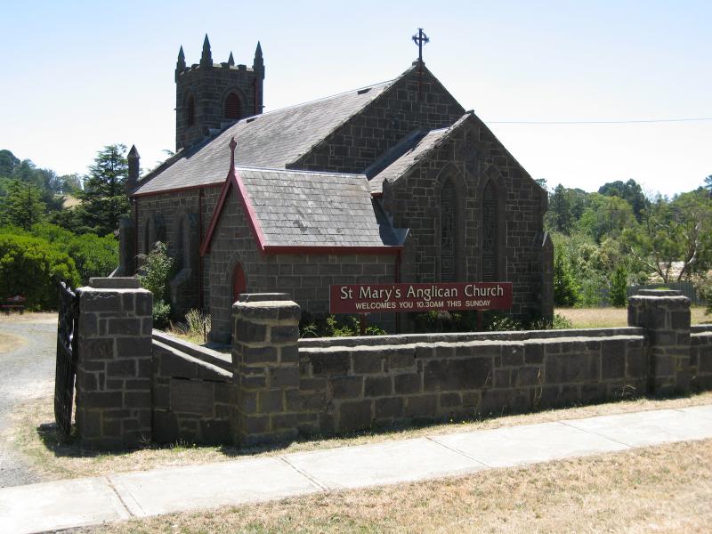 Around Woodend - St Mary's Anglican Church, Buckland St
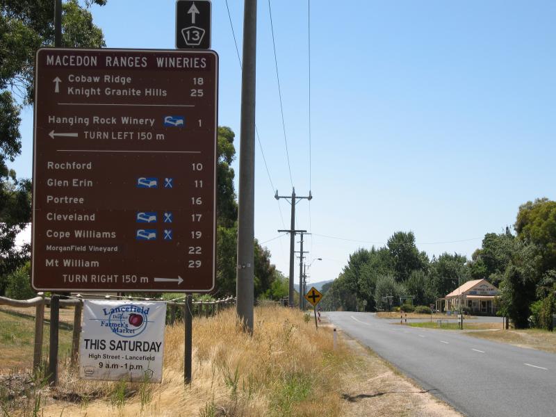
 Around Woodend - View south along High St towards Lancefield Rd
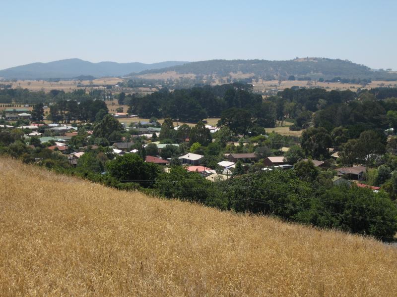
 Golf Course, Davy Street - View south-east towards Mt Macedon
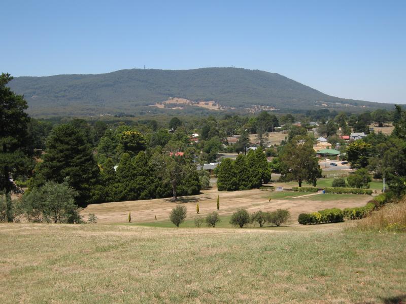 Golf Course, Davy Street - View south-east towards Mt Macedon
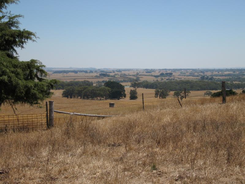
 Golf Course, Davy Street - View north
 Golf Course, Davy Street - View north-west
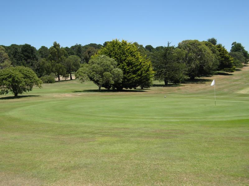
 Golf Course, Davy Street - View east from putting green
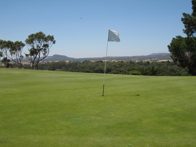
 Golf Course, Davy Street - Putting green
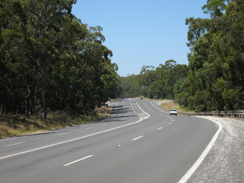
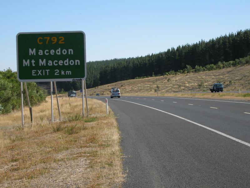 Calder Freeway - View south along Calder Fwy between Bawden Rd and Black Forest Drive exit
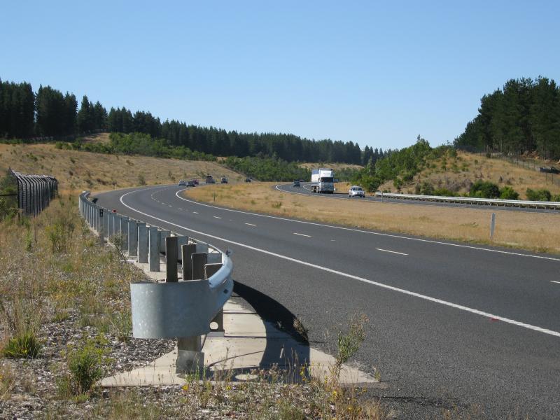 Calder Freeway - View north along Calder Fwy near Centre Rd
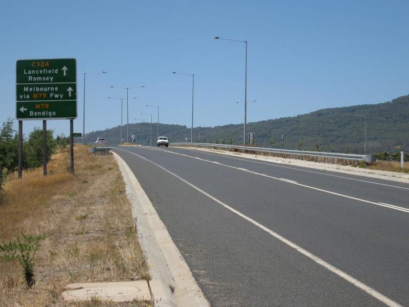 Calder Freeway - View east along Lancefield Rd towards Calder Fwy interchange
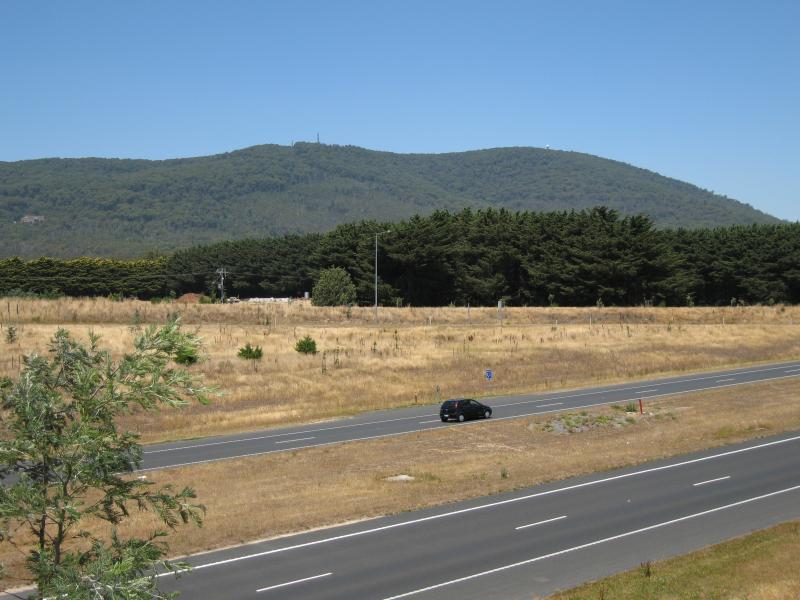 Calder Freeway - View south-east across Calder Fwy at Lancefield Rd towards Mt Macedon
 Calder Freeway - View north along Calder Fwy from Lancefield Rd overpass
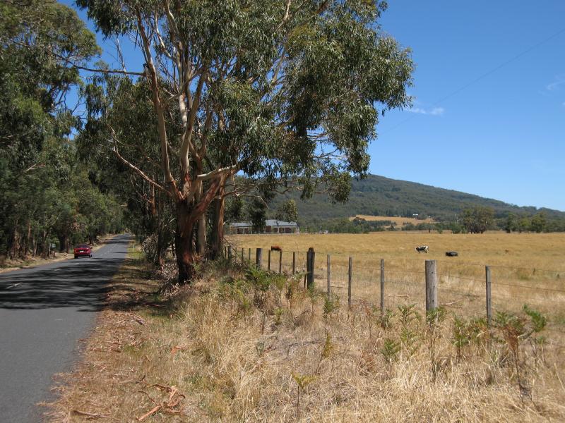
 Town of Newham, 10 kilometres north-west of Woodend - View north along Coach Rd towards Rochford Rd
 Town of Newham, 10 kilometres north-west of Woodend - Newham General Store, corner Coach Rd and Rochford Rd
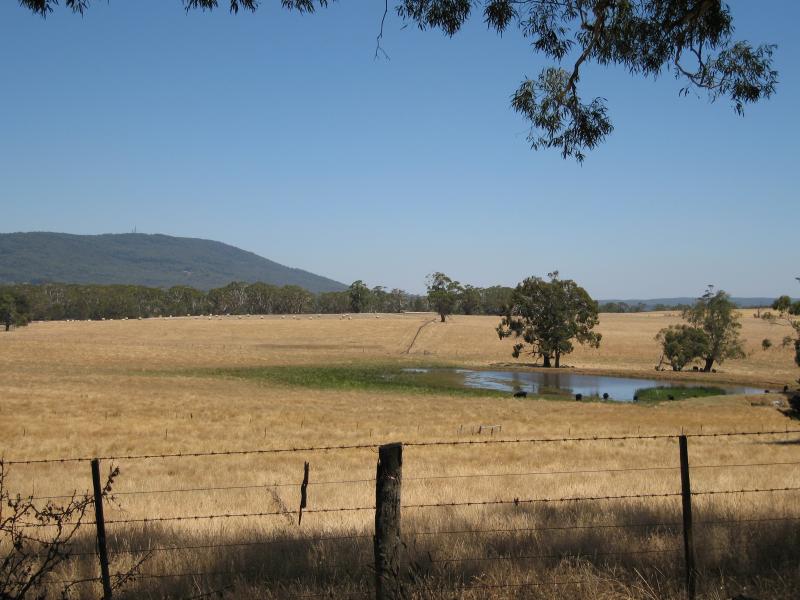 Town of Newham, 10 kilometres north-west of Woodend - View south from Jim Rd towards Mt Macedon
 Hanging Rock Winery, Jims Road, Newham - View along winery driveway
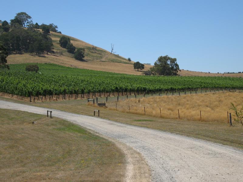 Hanging Rock Winery, Jims Road, Newham - View of vineyard from driveway
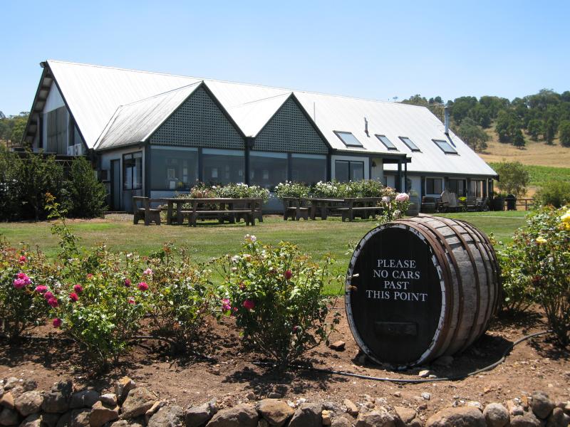 Hanging Rock Winery, Jims Road, Newham - Wine tasting and cellar door
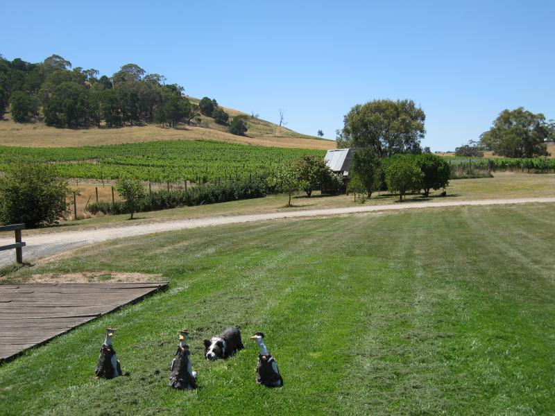 Hanging Rock Winery, Jims Road, Newham - View from gardens at cellar door towards vineyards
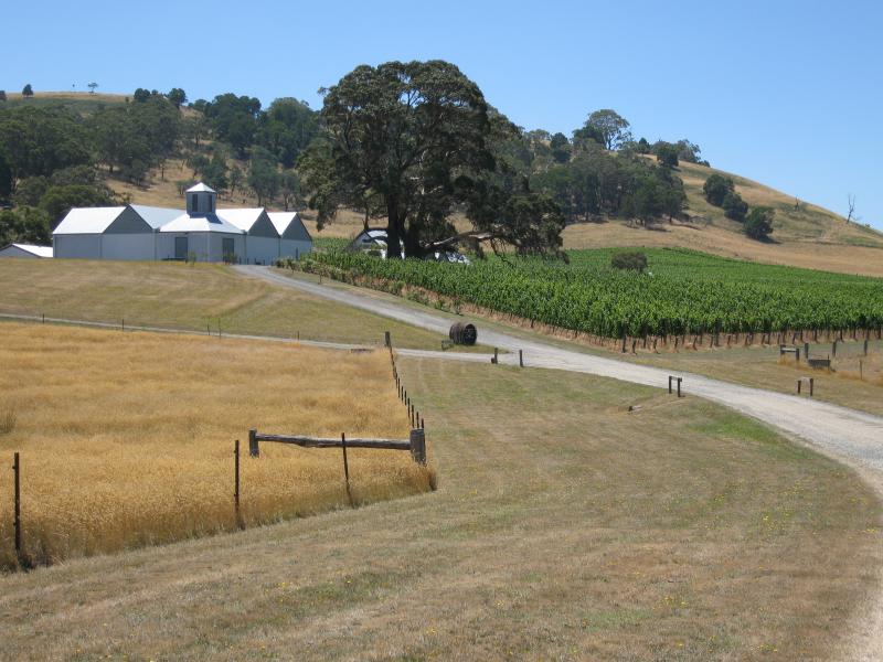
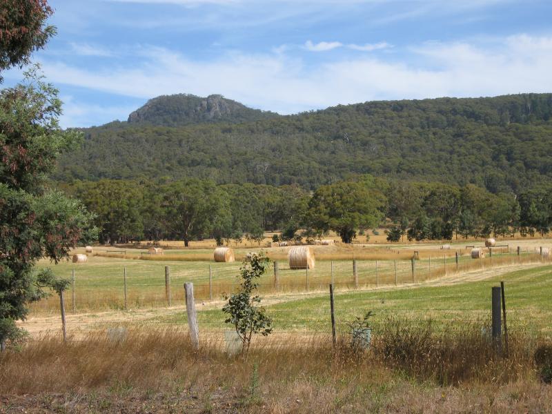
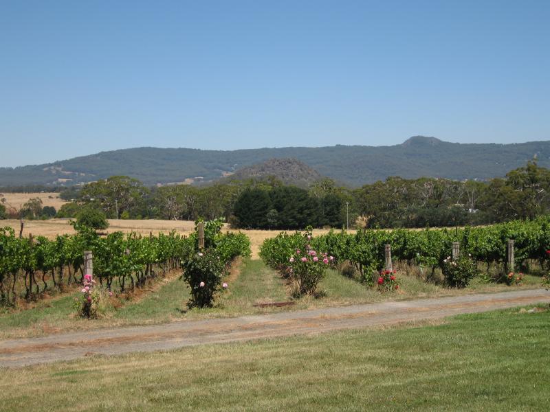 Hanging Rock Winery, Jims Road, Newham - View south-east across vineyards towards Hanging Rock
 Scenery near Hanging Rock - Northerly view, Straws La between Mt Macedon Rd and Romsey Rd
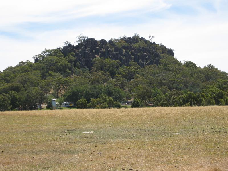
 Scenery near Hanging Rock - View north-west towards Hanging Rock from Straws La between Romsey Rd and South Rock Rd
 Scenery near Hanging Rock - View south along Straws La between Romsey Rd and South Rock Rd
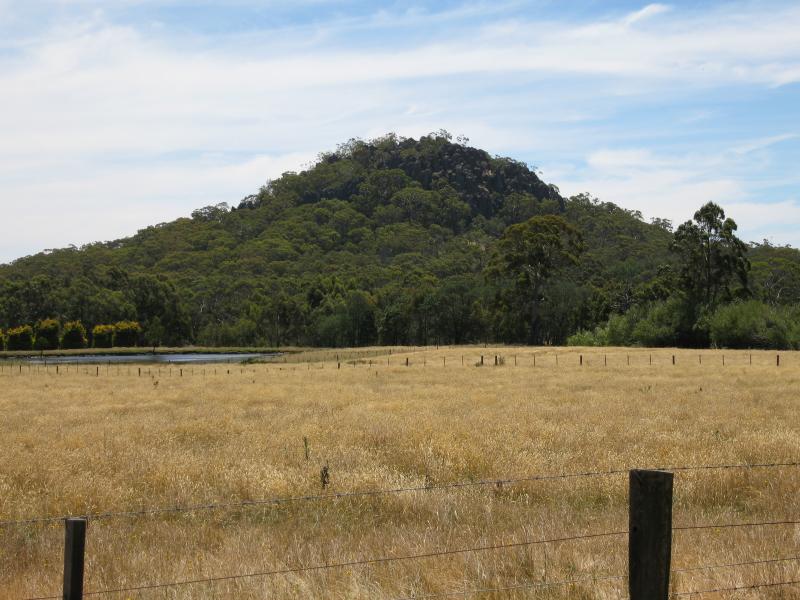
 Scenery near Hanging Rock - View west towards Hanging Rock from Straws La between Colwells Rd and South Rock Rd
 Scenery near Hanging Rock - View east towards Hanging Rock from Coach Rd between South Rock Rd and Colwells Rd
 Scenery near Hanging Rock - View south from Coach Rd at Romsey Rd
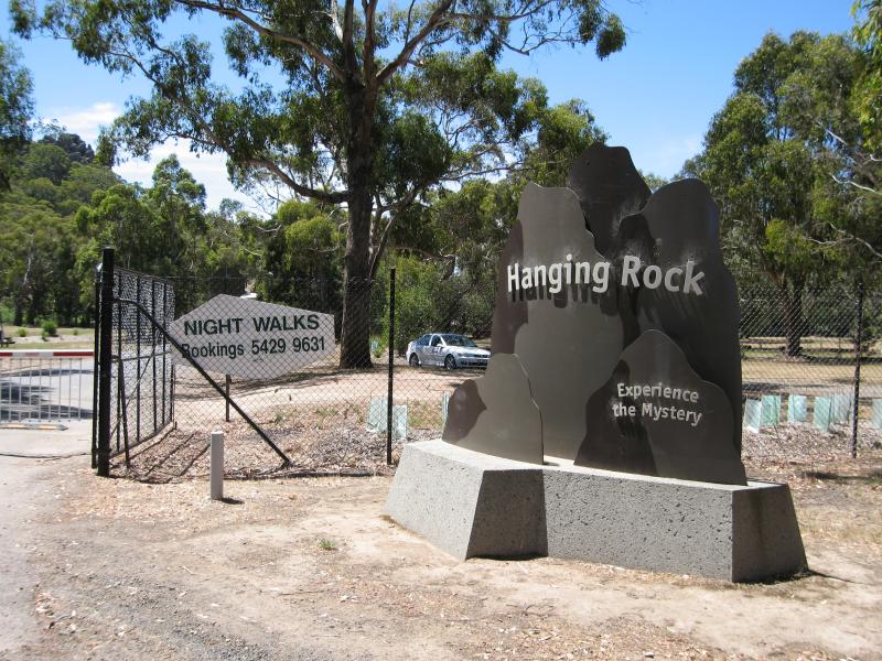 Hanging Rock Reserve, South Rock Road - Entrance to Hanging Rock Reserve, South Rock Rd
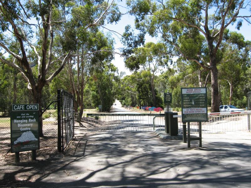 Hanging Rock Reserve, South Rock Road - Entrance to Hanging Rock Reserve, South Rock Rd
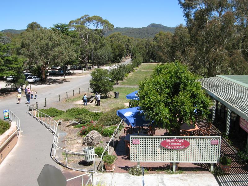
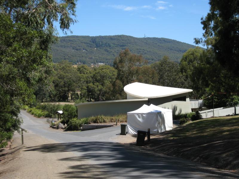
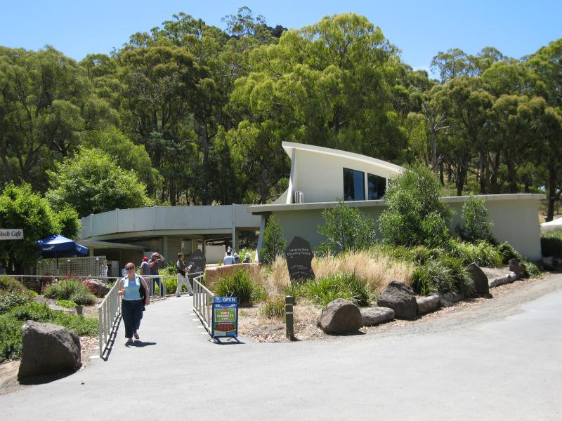 Hanging Rock Reserve, South Rock Road - Hanging Rock Picnic Cafe and Hanging Rock Discovery Centre
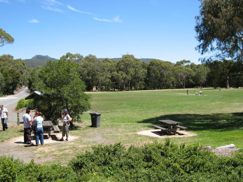 Hanging Rock Reserve, South Rock Road - Picnic area and oval in front of Hanging Rock Picnic Cafe
 Hanging Rock Reserve, South Rock Road - View south across picnic areas and cafe from Hanging Rock Discovery Centre
 Hanging Rock Reserve, South Rock Road - View towards Hanging Rock Discovery Centre from racecourse
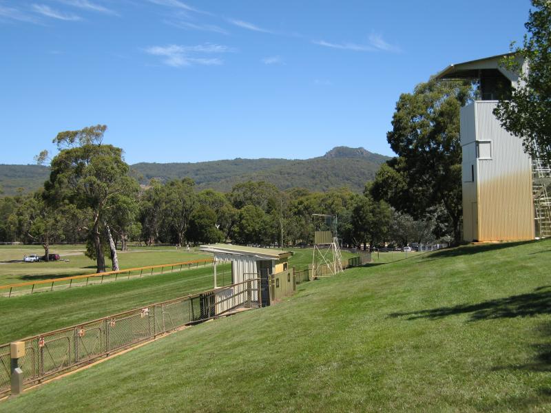
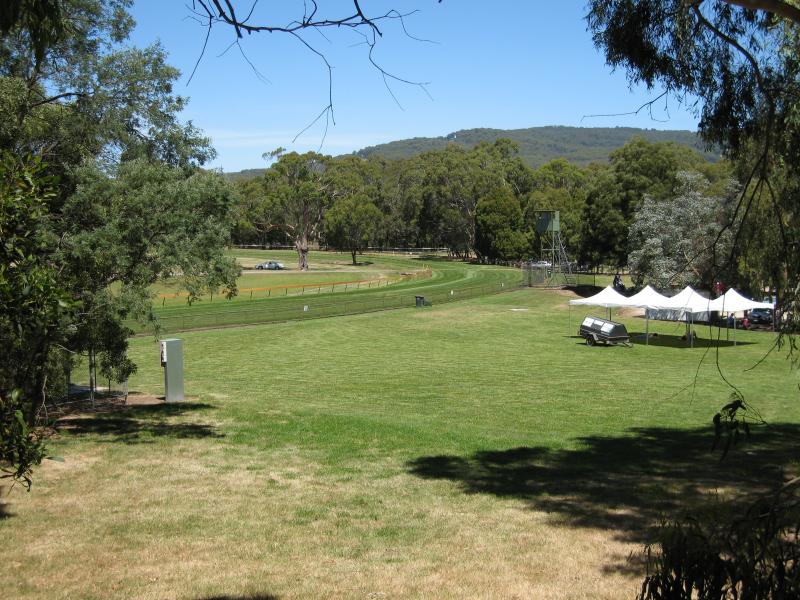 Hanging Rock Reserve, South Rock Road - Racecourse and surrounding lawns
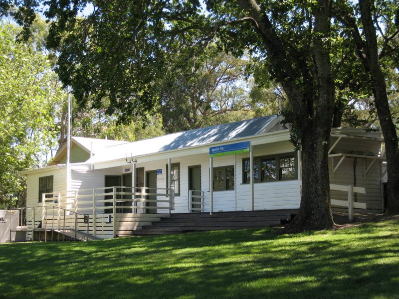 Hanging Rock Reserve, South Rock Road - Members tote at racecourse
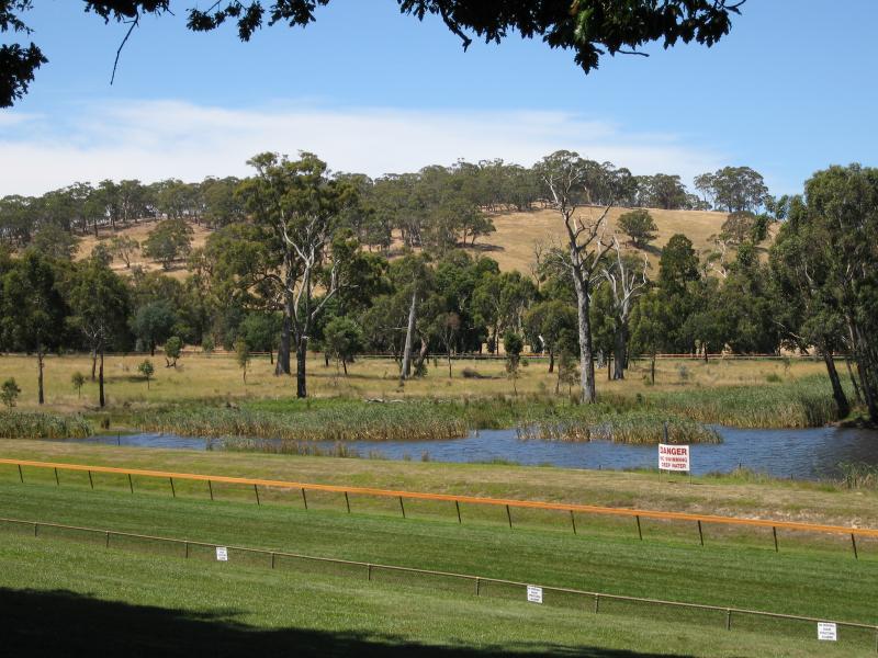 Hanging Rock Reserve, South Rock Road - View east across dam in middle of racecourse
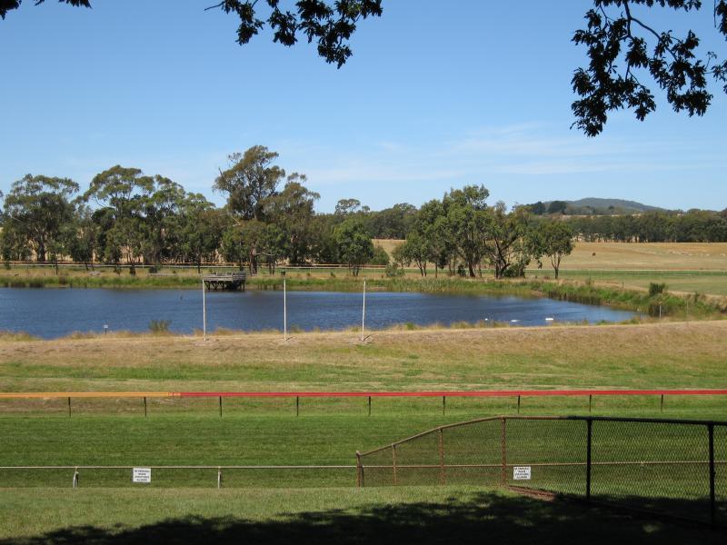 Hanging Rock Reserve, South Rock Road - View east across dam in middle of racecourse
 Hanging Rock Reserve, South Rock Road - View across racecourse
 Climb to summit of Hanging Rock - Start of path to summit
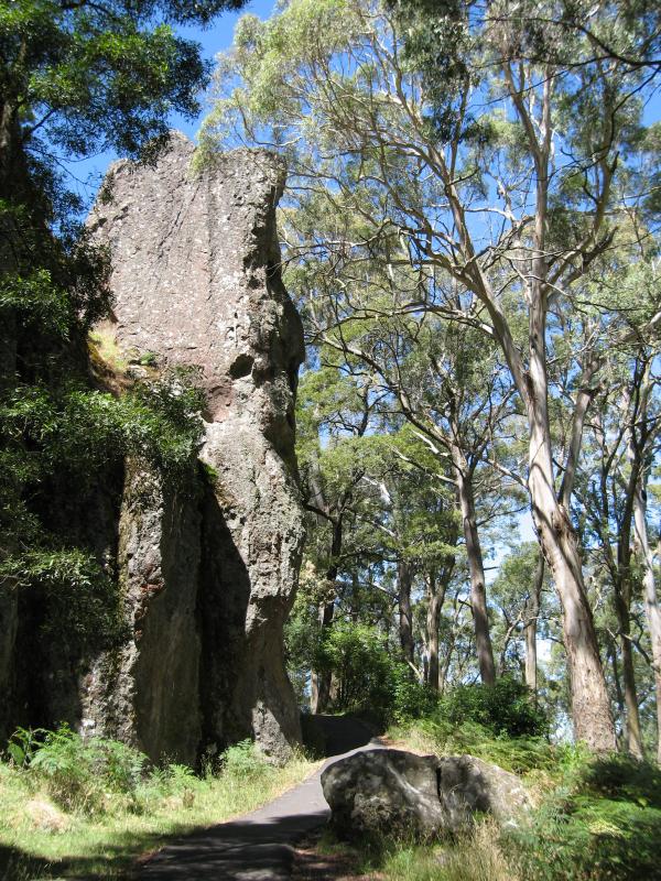
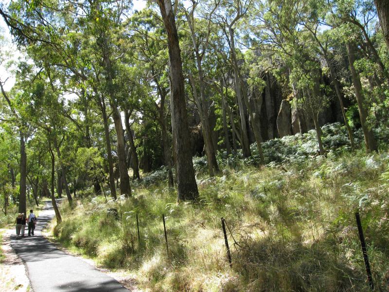 Climb to summit of Hanging Rock - Path to base of rock
 Climb to summit of Hanging Rock - Path at base of rock approaching Morgan's Blood Waterfall
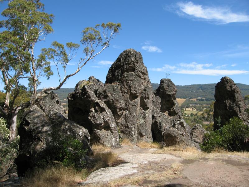 Climb to summit of Hanging Rock - Stonehenge rock formation
 Climb to summit of Hanging Rock - View south from Stonehenge rock formation
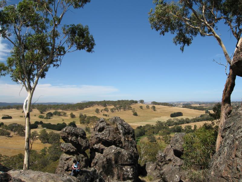
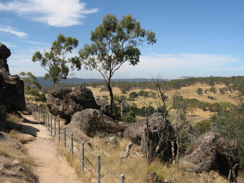
 Climb to summit of Hanging Rock - Views near The Saddle
 Climb to summit of Hanging Rock - Views at McDonald's Lookout
 Climb to summit of Hanging Rock - Path near McDonald's Lookout
 Climb to summit of Hanging Rock - Views near The Chapel
 Climb to summit of Hanging Rock - Views at The Chapel
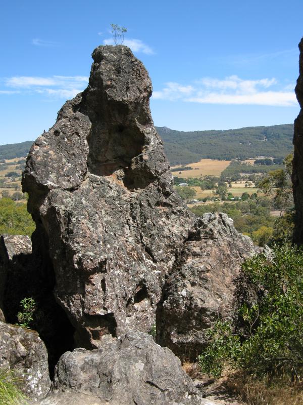
 Climb to summit of Hanging Rock - The Eagle
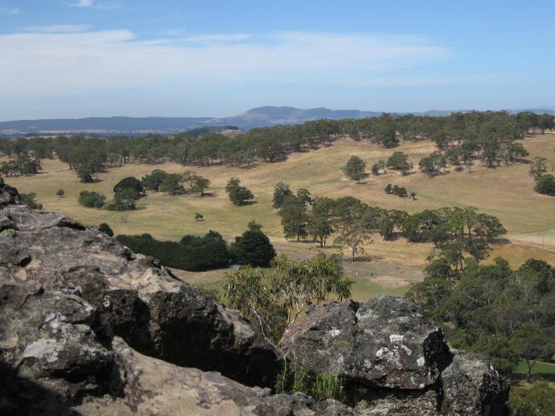
 Climb to summit of Hanging Rock - View south-west to Mt Macedon at Morgan's Lookout
 Climb to summit of Hanging Rock - View west at Morgan's Lookout
 Climb to summit of Hanging Rock - View north-west at Morgan's Lookout
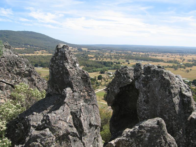
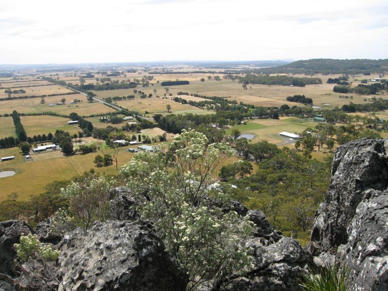
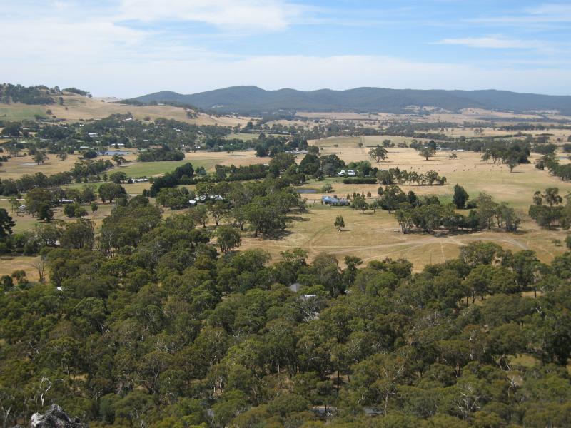
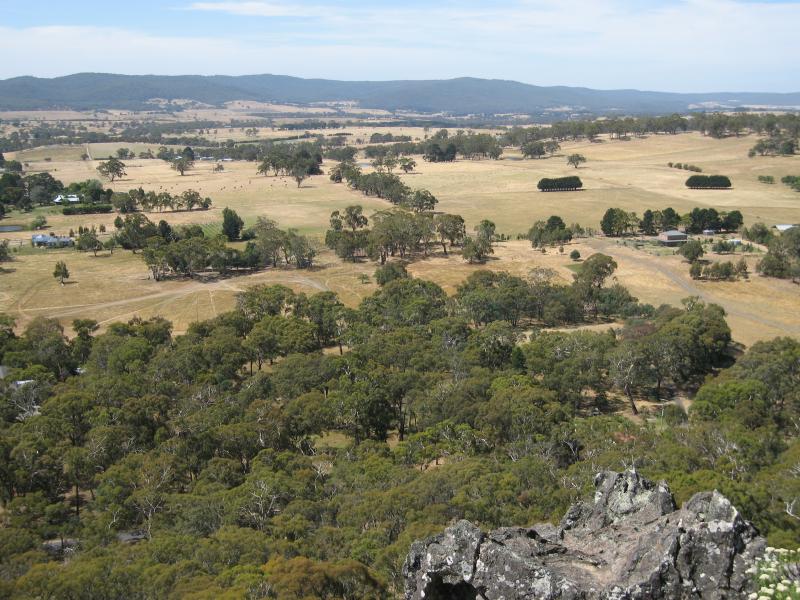
 Climb to summit of Hanging Rock - View north at Morgan's Lookout
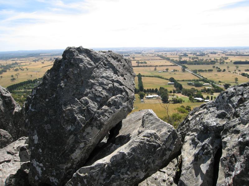
 Climb to summit of Hanging Rock - View north at Morgan's Lookout
 Climb to summit of Hanging Rock - View north at Morgan's Lookout
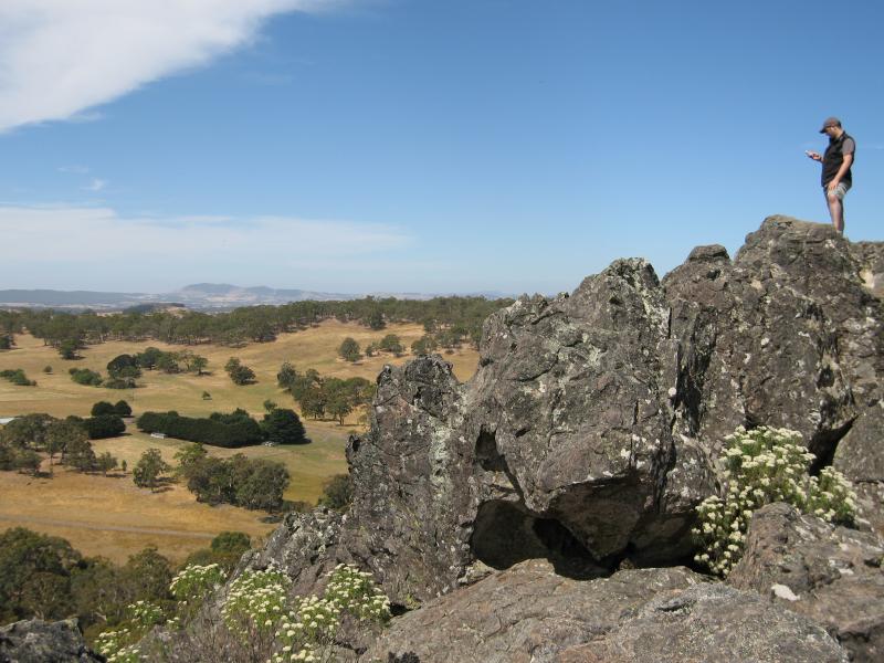
 Climb to summit of Hanging Rock - View north-east at Morgan's Lookout
 Climb to summit of Hanging Rock - View east at Morgan's Lookout