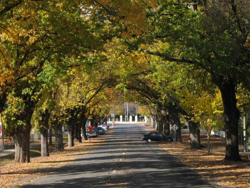
High Street between Bells Flat Road and Wellsford Street - View south-east along High St
High Street between Bells Flat Road and Wellsford Street - View south-east along High St towards Wellsford St
High Street between Bells Flat Road and Wellsford Street - Yackandandah public hall and cinema near Wellsford St
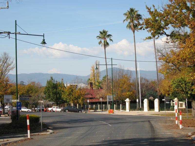
High Street between Bells Flat Road and Wellsford Street - View south-east along High St towards Wellsford St and Soldiers Memorial Park
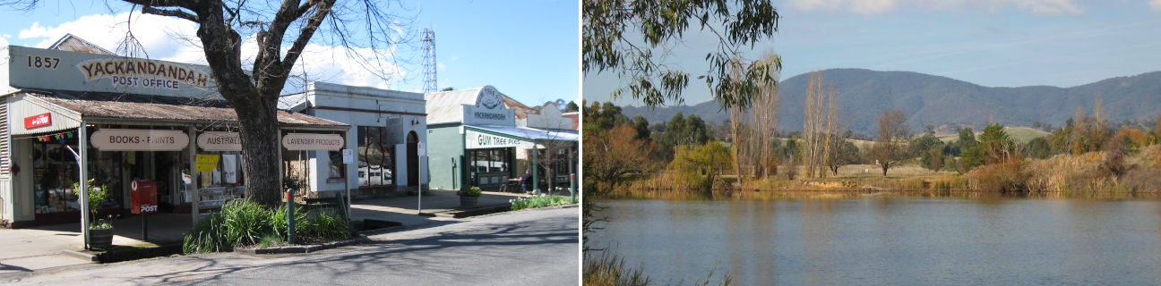
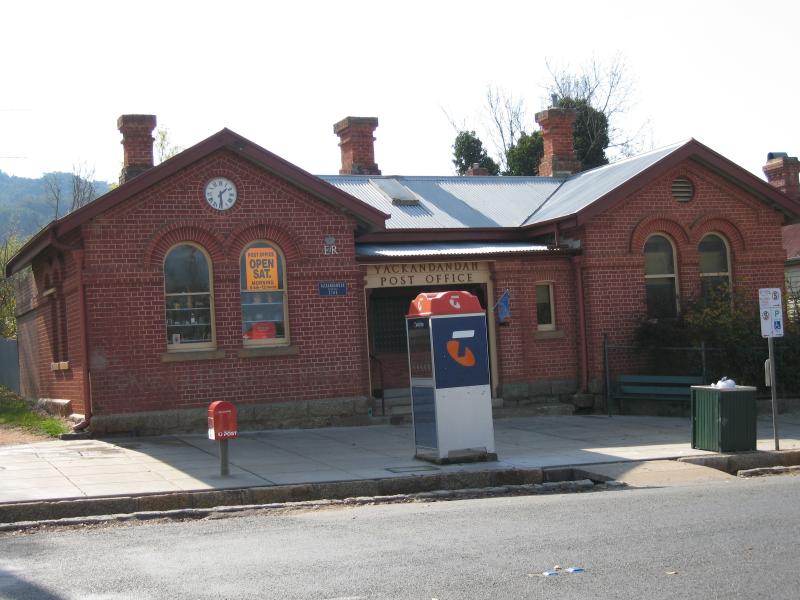
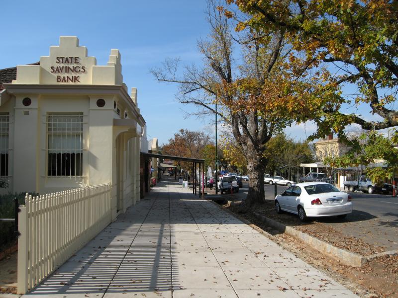
Shops and commercial centre, High Street between Wellsford Street and Williams Street - Post office, corner High St and Wellsford St
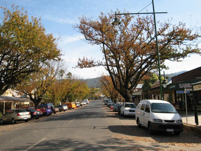
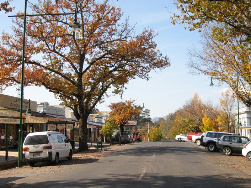
Shops and commercial centre, High Street between Wellsford Street and Williams Street - View east along High St
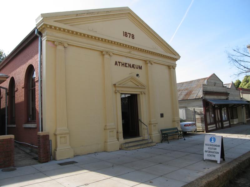
Shops and commercial centre, High Street between Wellsford Street and Williams Street - Athenaeum building
Shops and commercial centre, High Street between Wellsford Street and Williams Street - View east along High St
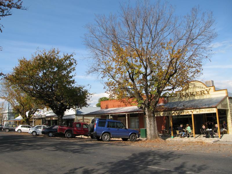
Shops and commercial centre, High Street between Wellsford Street and Williams Street - View east along High St towards bakery
Shops and commercial centre, High Street between Wellsford Street and Williams Street - View west along High St
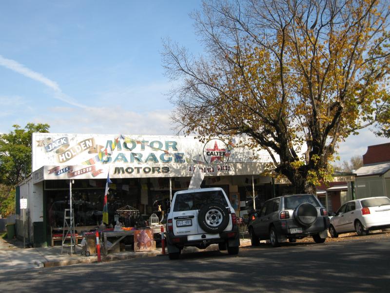
Shops and commercial centre, High Street between Wellsford Street and Williams Street - Former Jack Holden Motor Garage, now 'A Bears Old Wares'
Shops and commercial centre, High Street between Wellsford Street and Williams Street - View east along High St
Shops and commercial centre, High Street between Wellsford Street and Williams Street - View east along High St
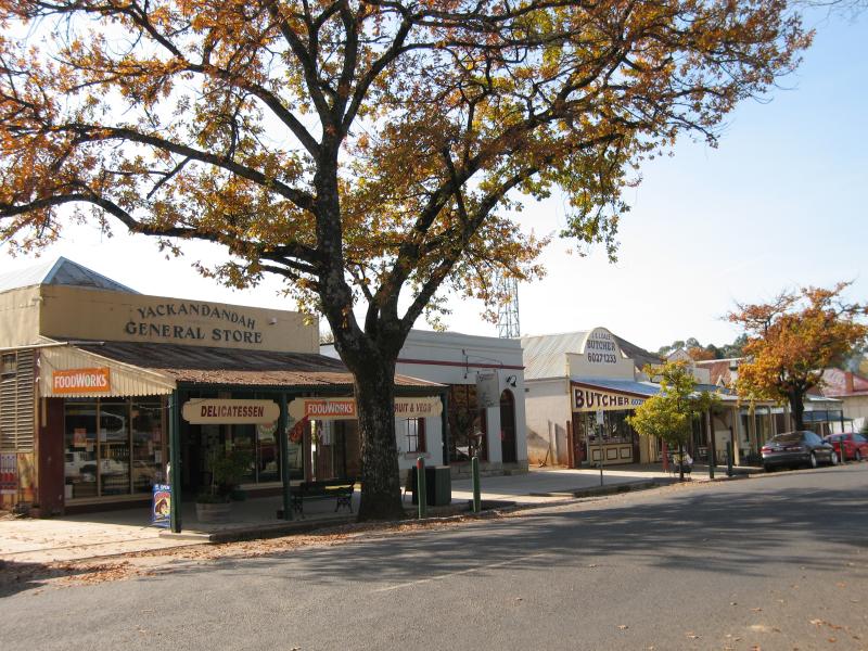
Shops and commercial centre, High Street between Wellsford Street and Williams Street - Yackandandah General Store
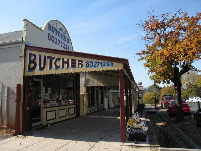
Shops and commercial centre, High Street between Wellsford Street and Williams Street - Butcher, view east along High St
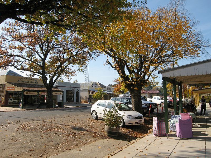
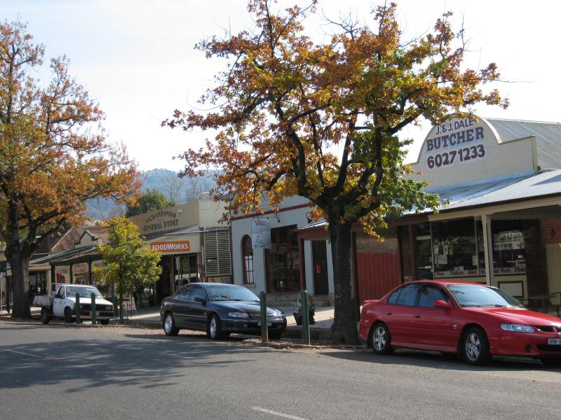
Shops and commercial centre, High Street between Wellsford Street and Williams Street - View west along High St towards butcher and general store
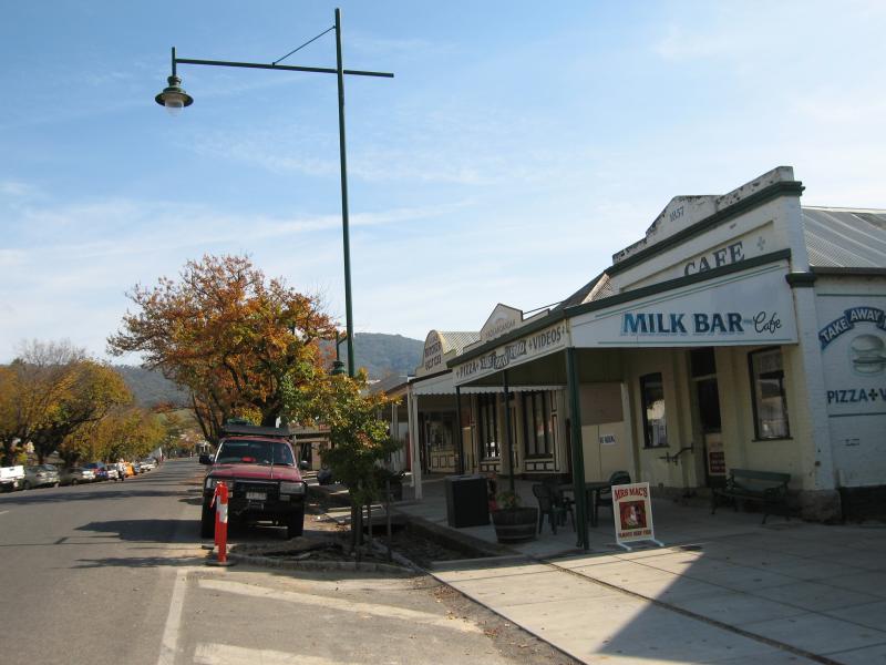
Shops and commercial centre, High Street between Wellsford Street and Williams Street - View west along High St at milk bar and cafe
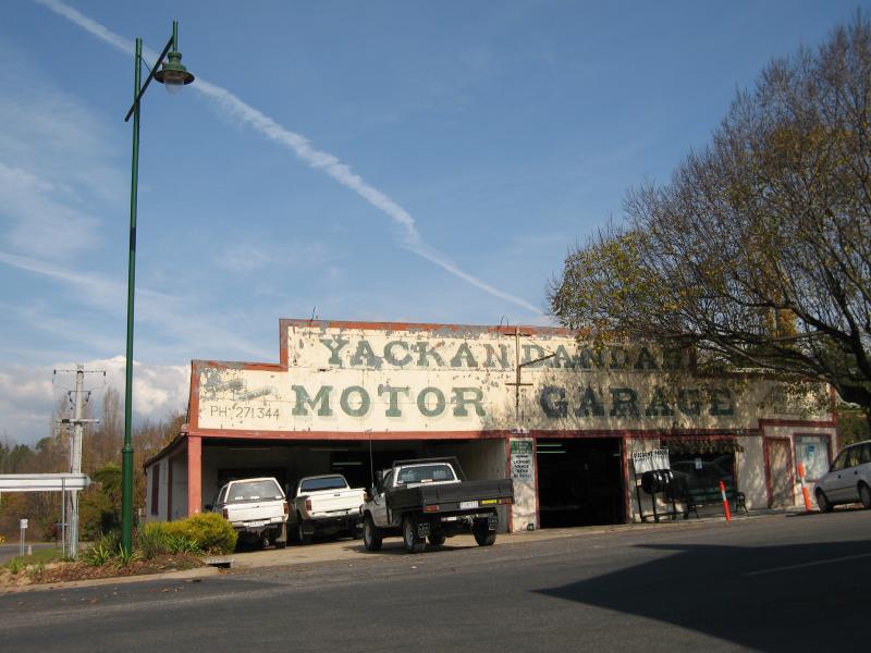
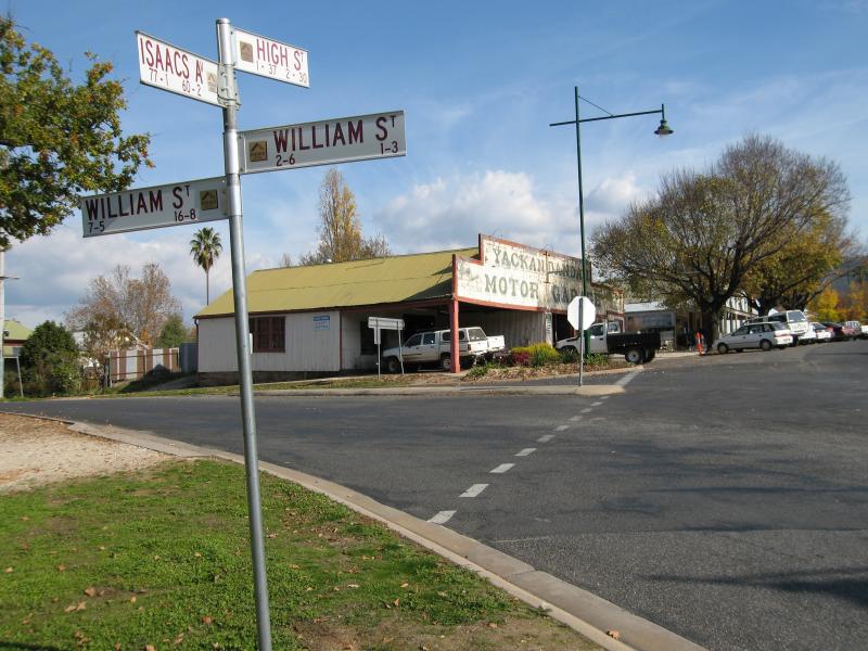
Shops and commercial centre, High Street between Wellsford Street and Williams Street - Yackandandah Motor Garage, corner High St and Williams St
Shops and commercial centre, High Street between Wellsford Street and Williams Street - View west along High St at Williams St
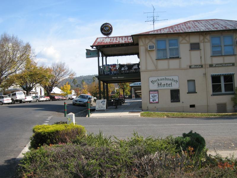
Shops and commercial centre, High Street between Wellsford Street and Williams Street - Yackandandah Hotel, view east along High St towards Williams St
Shops and commercial centre, High Street between Wellsford Street and Williams Street - Yackandandah Hotel, view west along High St at Williams St
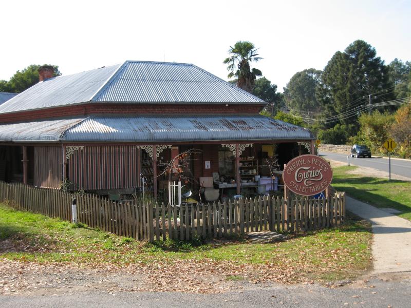
Shops and commercial centre, High Street between Wellsford Street and Williams Street - Curios Collectables, corner Isaacs Av and Williams St
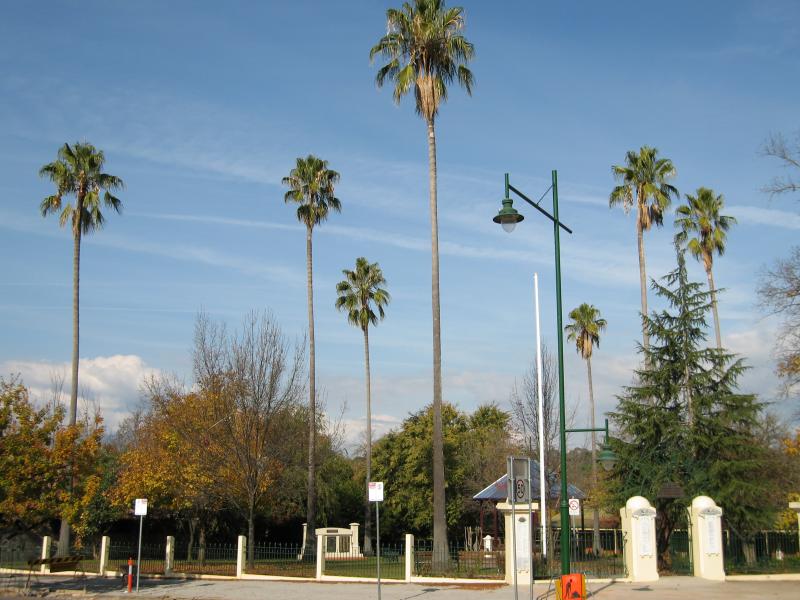
Soldiers Memorial Park, corner High Street and Wellsford Street - View south towards park from High St
Soldiers Memorial Park, corner High Street and Wellsford Street - Park entrance, corner High St and Wellsford St
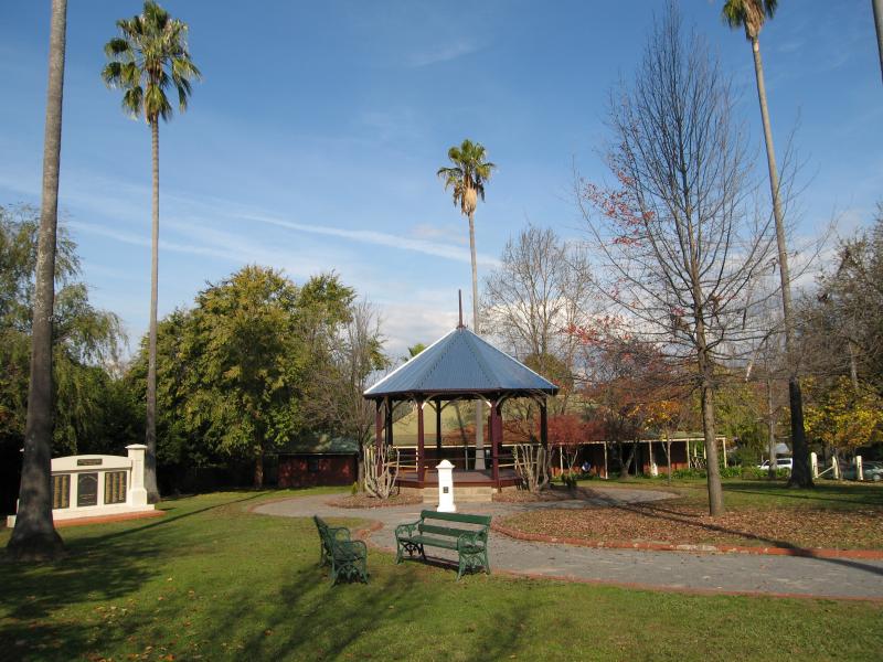
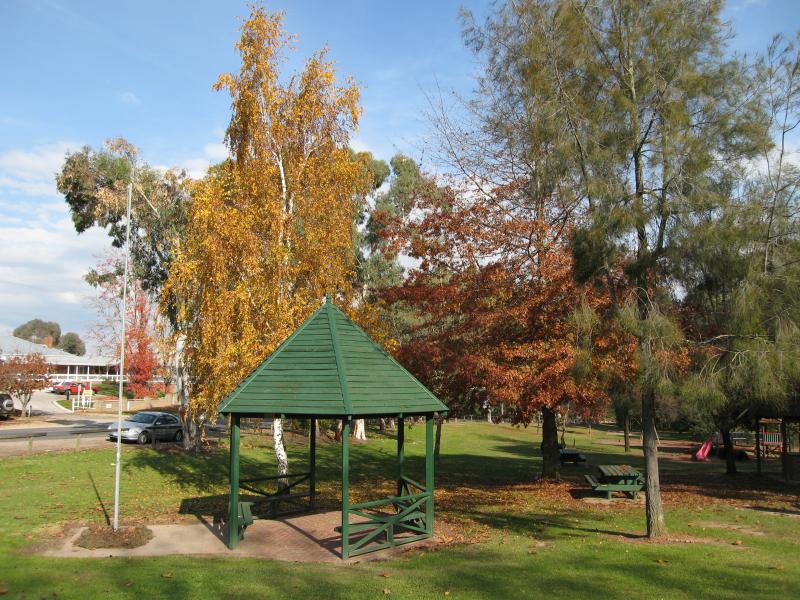
Soldiers Memorial Park, corner High Street and Wellsford Street - Rotunda and war memorial
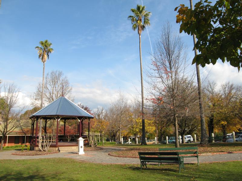
Soldiers Memorial Park, corner High Street and Wellsford Street - Rotunda and gardens
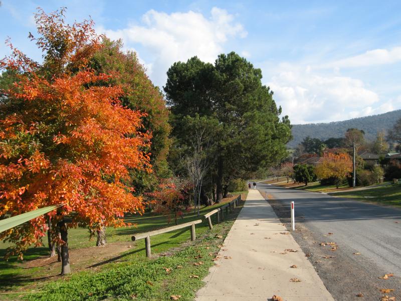
Commissioners Creek and surrounding parkland - View south-west along Isaacs Av at bridge over Commissioners Creek
Commissioners Creek and surrounding parkland - View south-west along footbridge over Commissioners Creek at Isaacs Av
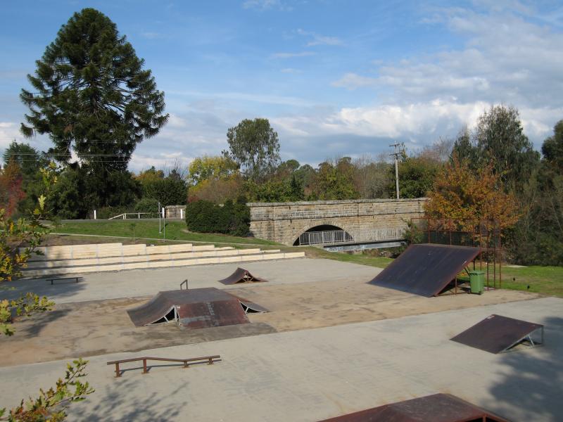
Commissioners Creek and surrounding parkland - Skate park, Commissioners Creek near Isaacs Av
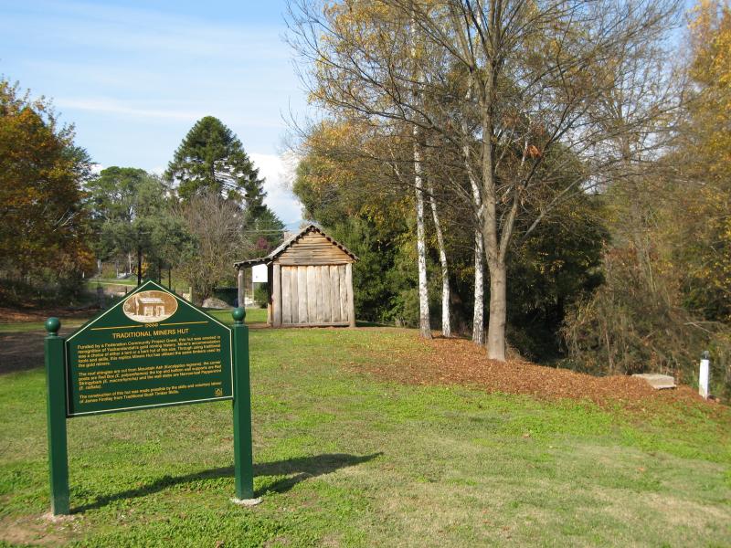
Commissioners Creek and surrounding parkland - View of traditional miners hut from Williams St
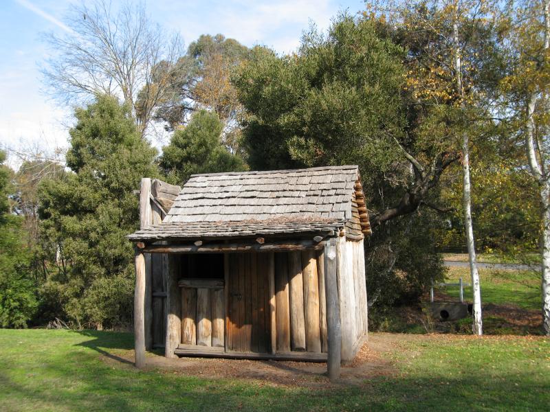
Commissioners Creek and surrounding parkland - Traditional miners hut near Williams St
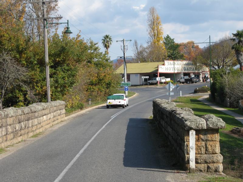
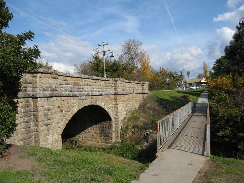
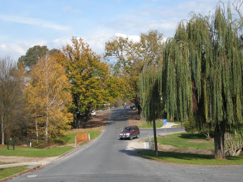
Commissioners Creek and surrounding parkland - View south along Williams St towards bridge over Commissioners Creek
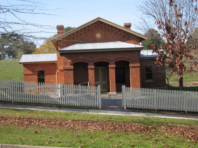
Williams Street and Railway Avenue - Court house, Williams St
Williams Street and Railway Avenue - View south along Williams St towards court house
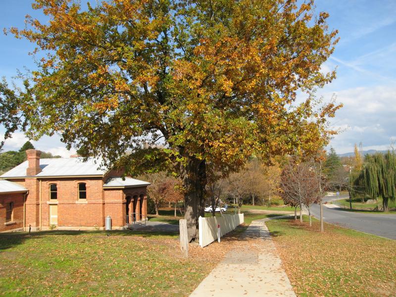
Williams Street and Railway Avenue - View south-west towards back of court house from Railway Av
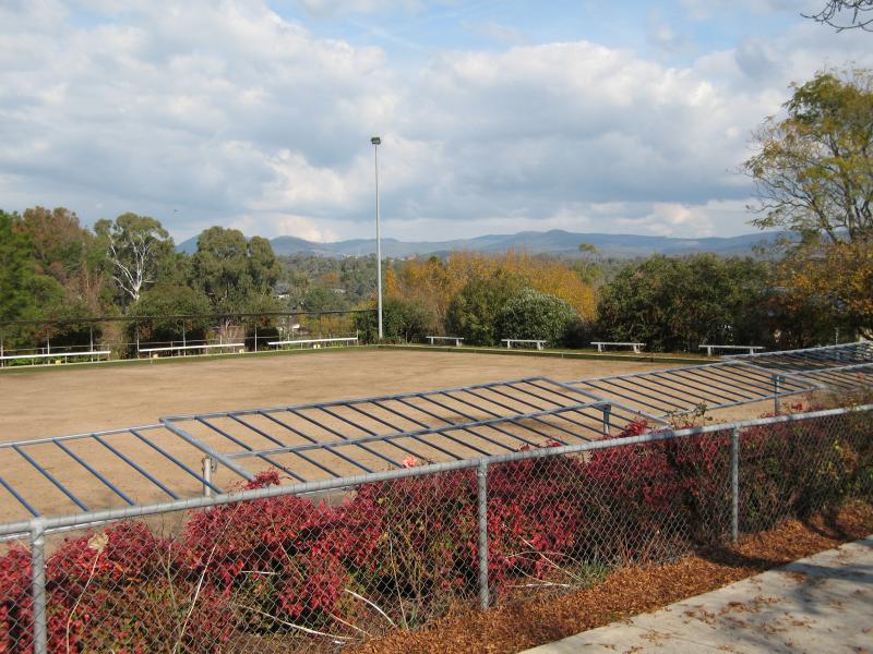
Williams Street and Railway Avenue - Bowling green, Railway Av
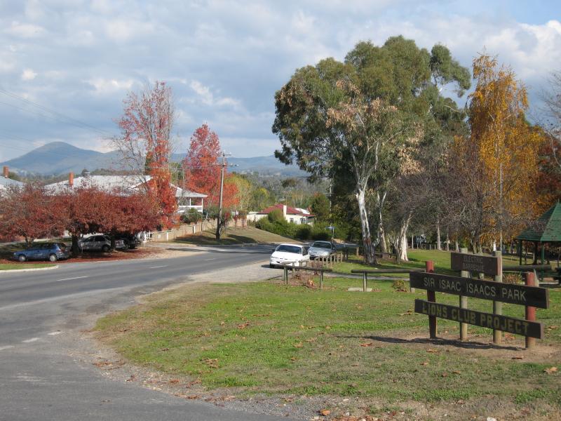
Sir Isaac Isaacs Park, corner Isaacs Avenue and Railway Avenue - Entrance to park, view south-west along Isaacs Av at Railway Av
Sir Isaac Isaacs Park, corner Isaacs Avenue and Railway Avenue - Rotunda
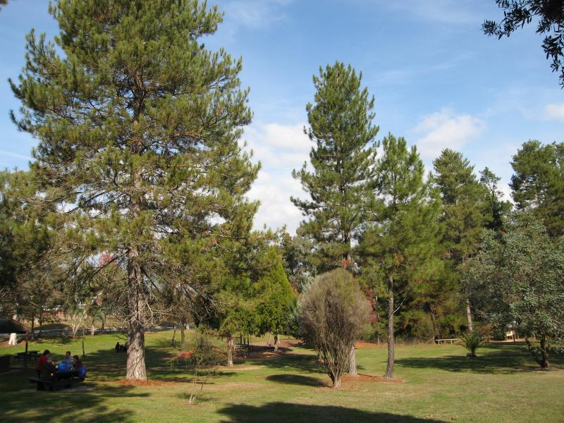
Sir Isaac Isaacs Park, corner Isaacs Avenue and Railway Avenue - View through park
Sir Isaac Isaacs Park, corner Isaacs Avenue and Railway Avenue - View south-west along Railway Av at park
Around Yackandandah - Hospital, Isaacs Av opposite Railway Av
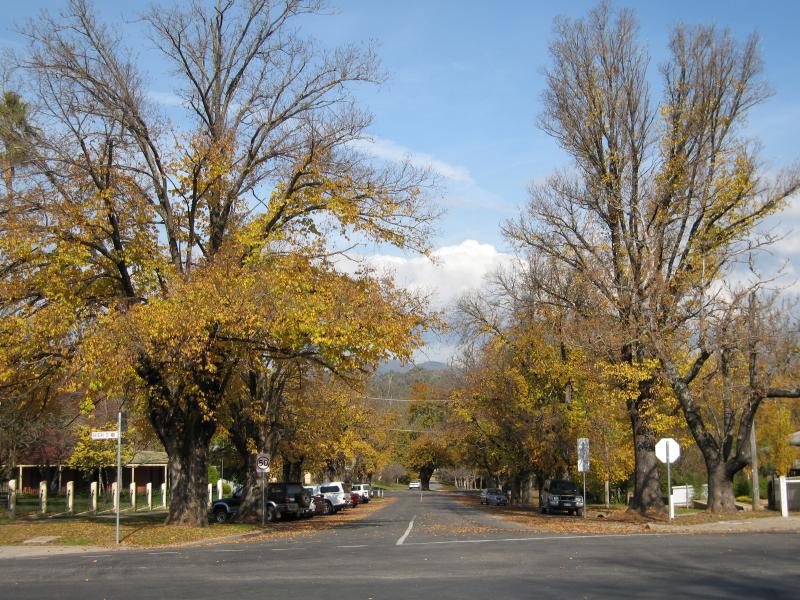
Around Yackandandah - View south along Wellsford St at High St
Around Yackandandah - Easterly view, Windham St east of Bells Flat Rd
Around Yackandandah - View north along Bells Flat Rd south of Windham St
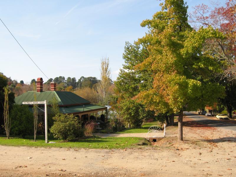
Molyneux's Mineral Spring, Mineral Lane at Commissioners Creek - View east along Hammond St at Mineral La
Molyneux's Mineral Spring, Mineral Lane at Commissioners Creek - Mineral spring
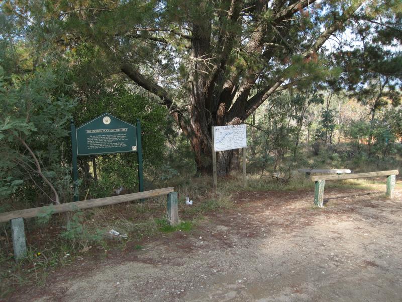
Crossing Place, Bells Flat Road - Car park and start of walking tracks to creek and gorge
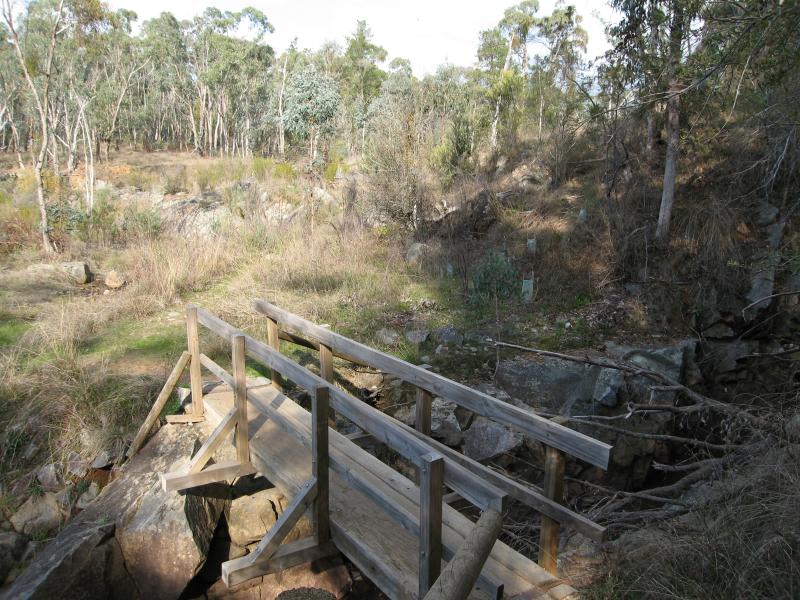
Crossing Place, Bells Flat Road - Bridge over Yackandandah Creek
Crossing Place, Bells Flat Road - View north along creek from bridge
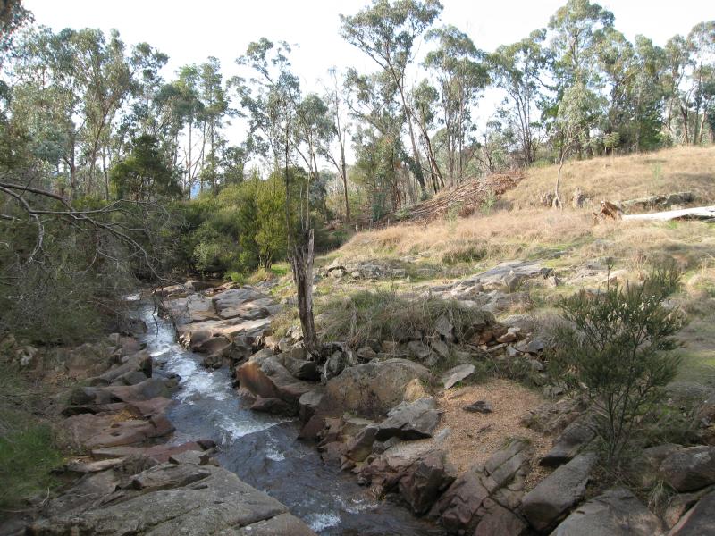
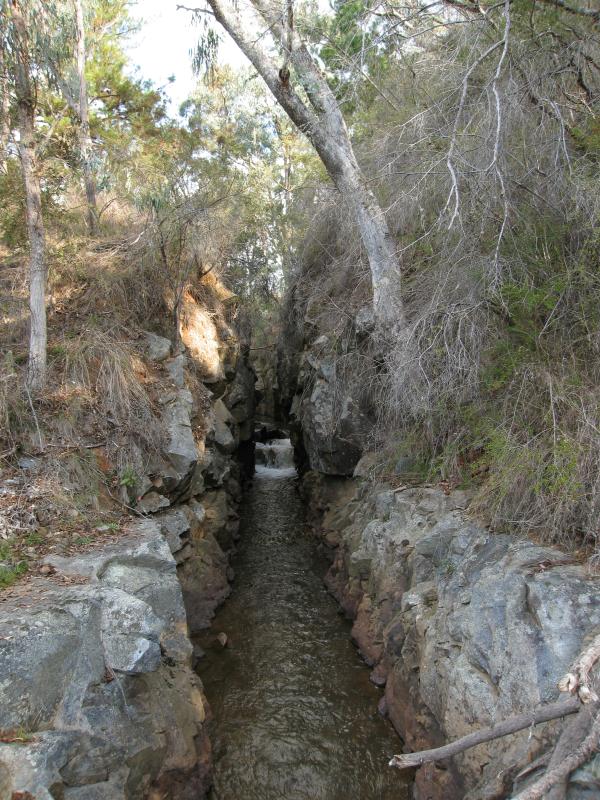
Crossing Place, Bells Flat Road - View south along creek towards gorge
Crossing Place, Bells Flat Road - View north along creek towards gorge from lookout
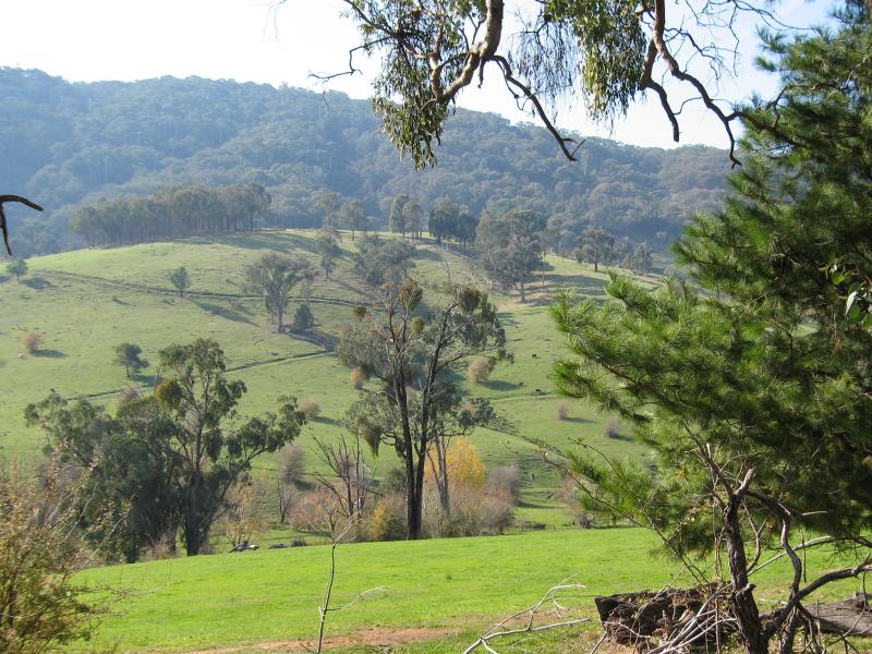
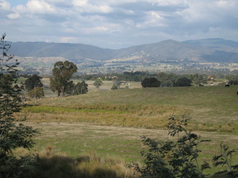
Beechworth Road, north-west of Yackandandah - View south-west, 3 kilometres from Yackandandah
Beechworth Road, north-west of Yackandandah - View north-east, 3 kilometres from Yackandandah
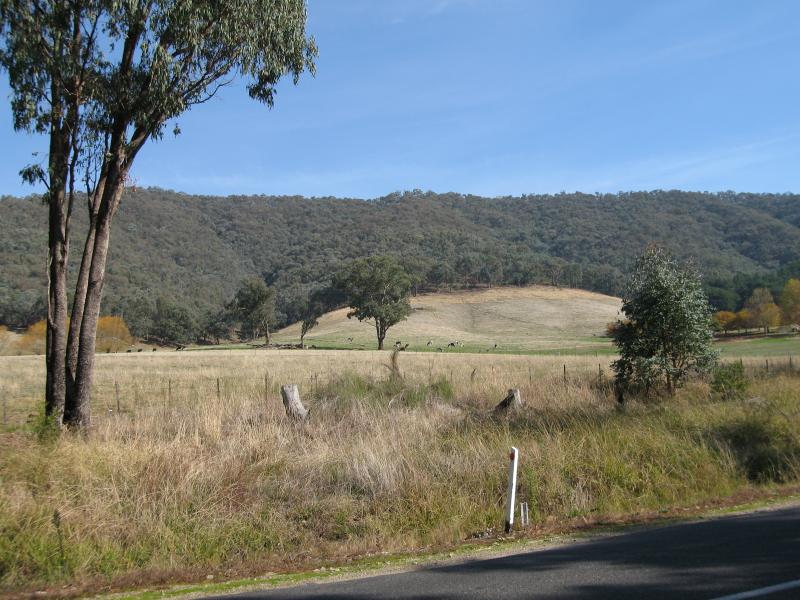
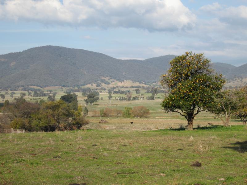
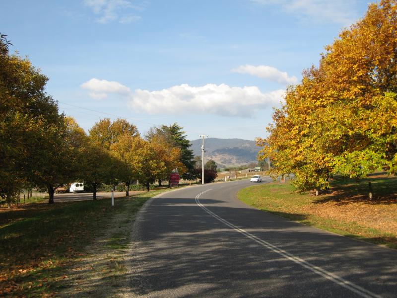
Beechworth Road, north-west of Yackandandah - View south across road, 1.5 kilometres from Yackandandah
Beechworth Road, north-west of Yackandandah - Easterly view, 1.5 kilometres from Yackandandah
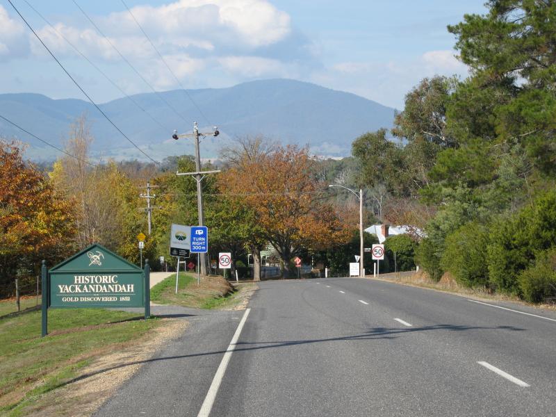
Beechworth Road, north-west of Yackandandah - View south-east along Beechworth Rd at Twist Creek Rd
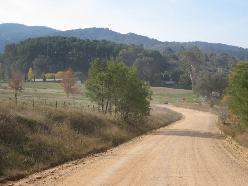
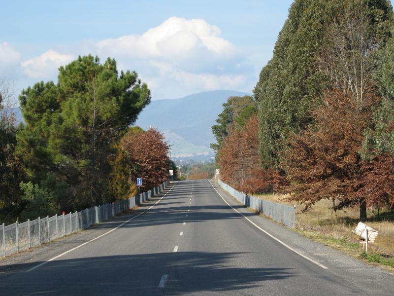
Beechworth Road, north-west of Yackandandah - Yackandandah town sign, view south-east along Beechworth Rd towards Bells Flat Rd
Wodonga Road, north-east of Yackandandah - Easterly view near Basin Creek Rd
Wodonga Road, north-east of Yackandandah - North-westerly view near Glass La
Wodonga Road, north-east of Yackandandah - View south-west along Wodonga Rd at war memorial, Staghorn Flat
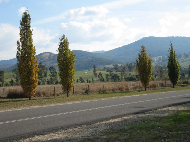
Wodonga Road, north-east of Yackandandah - South-east view, Staghorn Flat
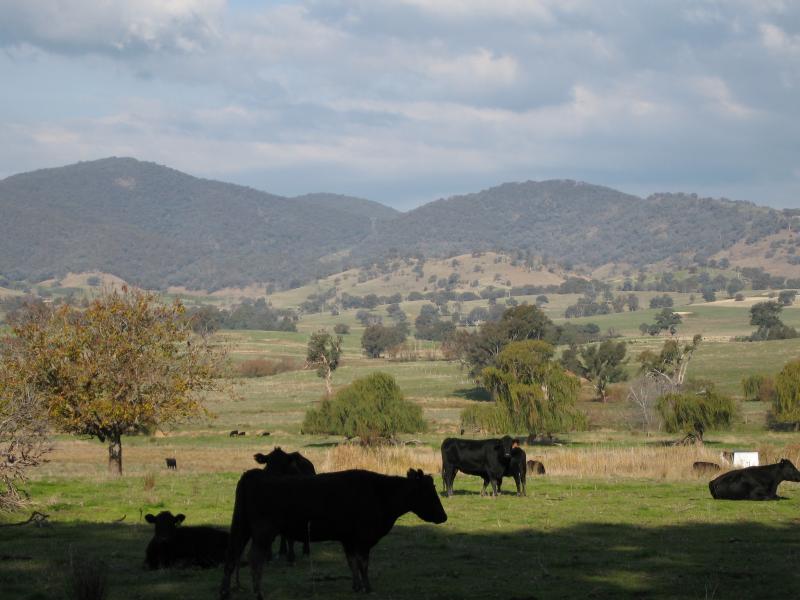
Wodonga Road, north-east of Yackandandah - View south-east towards grazing cattle, Staghorn Flat
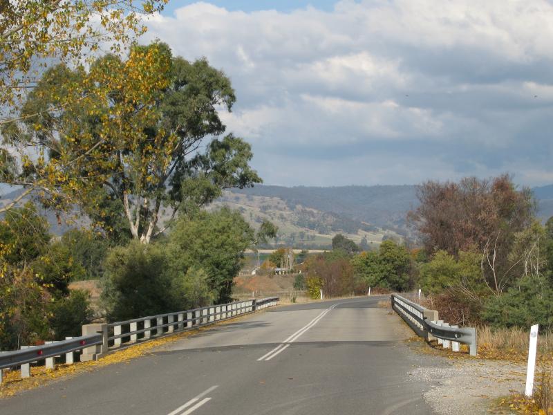
Allans Flat, Gap Flat Road - View south-east along Gap Flat Rd across Basin Creek
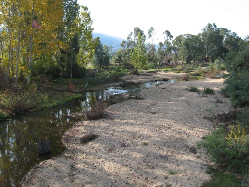
Allans Flat, Gap Flat Road - View north-east along sandy banks of Basin Creek from bridge at Gap Flat Rd
Allans Flat, Gap Flat Road - View west across Gap Flat Road near lake
Allans Flat, Gap Flat Road - View east along Gap Flat Rd near strawberry farm
Allans Flat, Gap Flat Road - Strawberry farm, Gap Flat Rd
Allans Flat, Gap Flat Road - View west along Gap Flat Rd at Osbournes Flat Rd
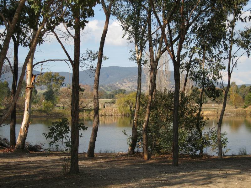
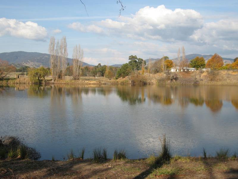
Allans Flat Reserve and lake, Gap Flat Road - View across lake from car park at reserve
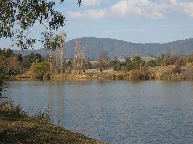
Allans Flat Reserve and lake, Gap Flat Road - Easterly views across lake from reserve
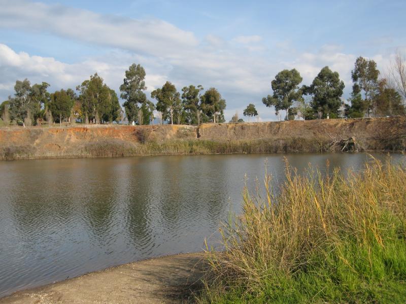
Allans Flat Reserve and lake, Gap Flat Road - Easterly views across lake from reserve
Allans Flat Reserve and lake, Gap Flat Road - Easterly views across lake from reserve
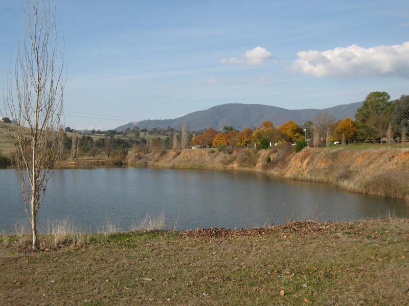
Allans Flat Reserve and lake, Gap Flat Road - View across lake towards Gap Flat Rd
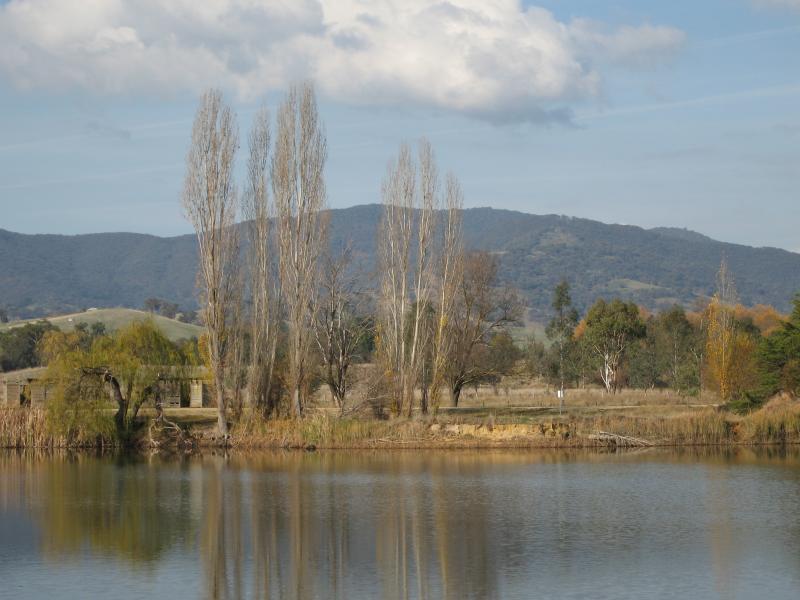
Allans Flat Reserve and lake, Gap Flat Road - View north-west across lake
Allans Flat Reserve and lake, Gap Flat Road - View east across lake from Gap Flat Road
Allans Flat Reserve and lake, Gap Flat Road - View east across lake from Gap Flat Road