Yanakie - photos
Yanakie
Stay
See and do
Food and drink
Shopping
Getting around
Visitor information
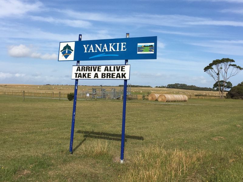 Town centre, Wilsons Promontory Road near Millar Road - Yanakie town sign on Wilsons Promontory Rd (supplied by Promhills Cabins)
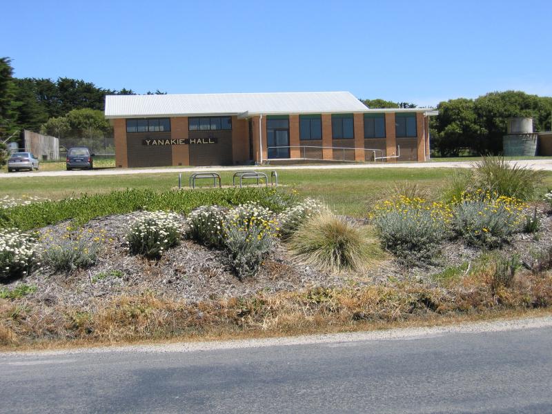 Town centre, Wilsons Promontory Road near Millar Road - Yanakie Hall, corner Wilsons Promontory Rd and Millar Rd
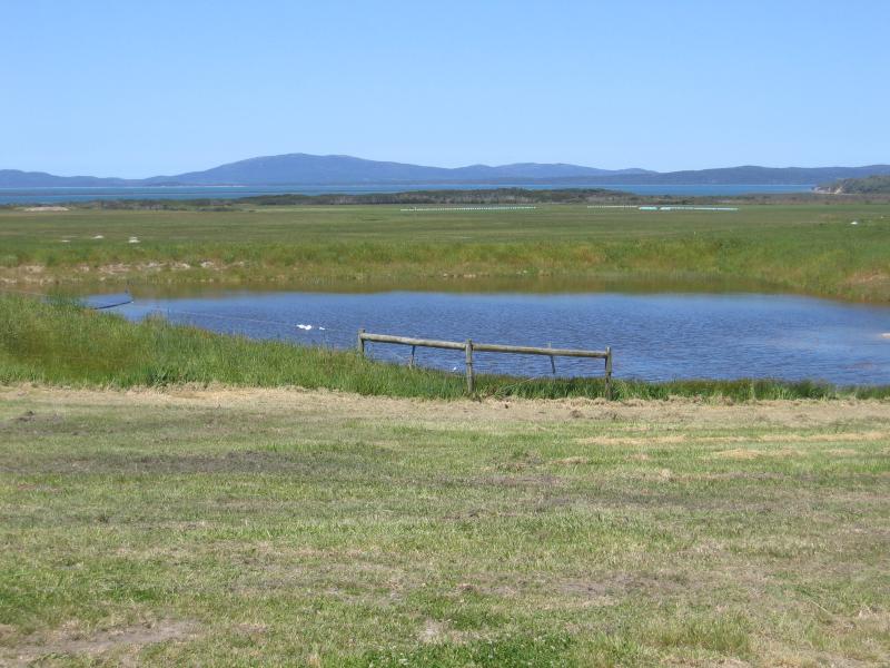
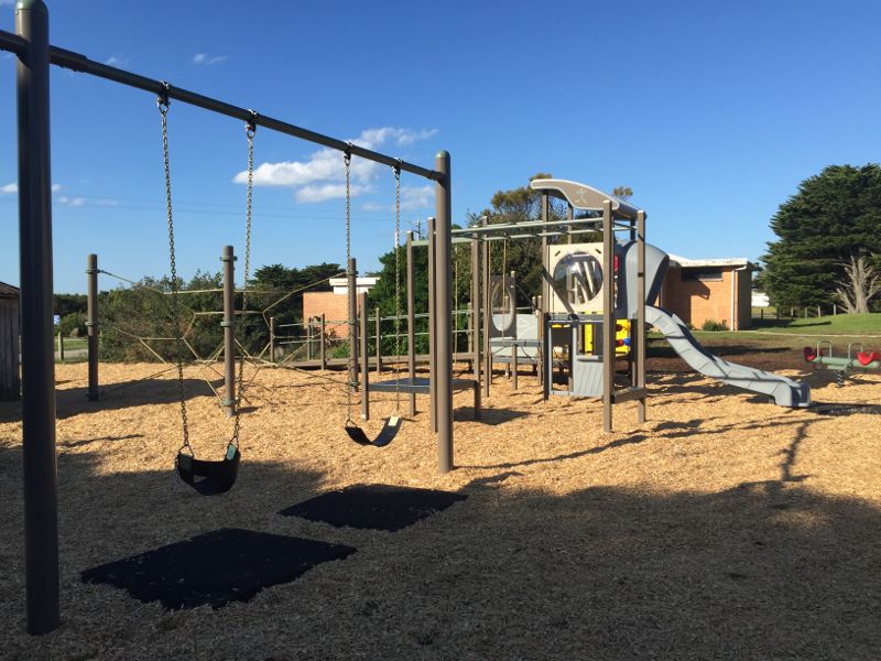 Town centre, Wilsons Promontory Road near Millar Road - Playground, Yanakie Park (supplied by Promhills Cabins)
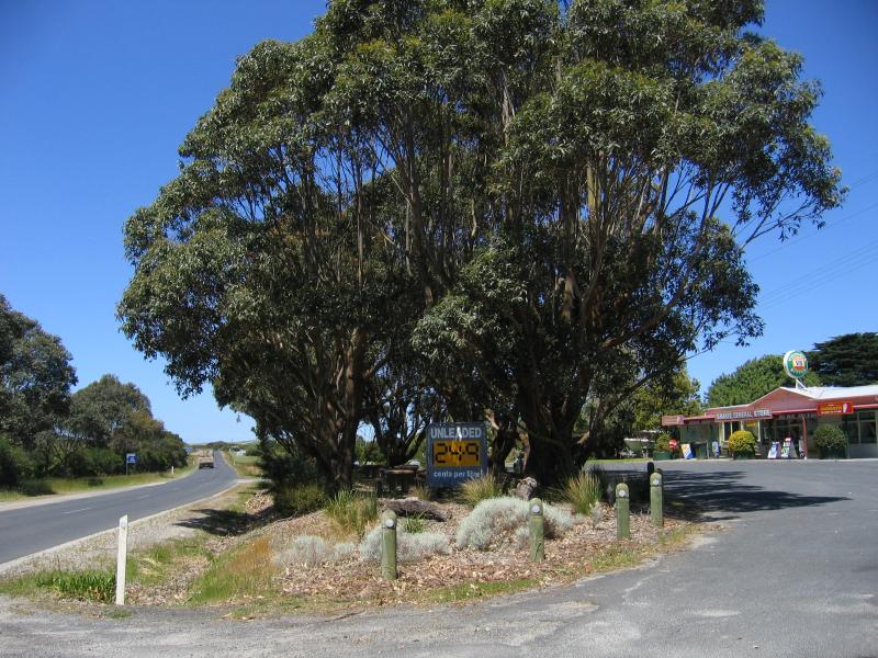 Town centre, Wilsons Promontory Road near Millar Road - View along Wilsons Promontory Rd at general store
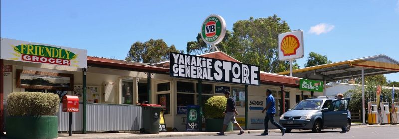 Town centre, Wilsons Promontory Road near Millar Road - General store, Wilsons Promontory Rd (supplied by Yanakie General Store)
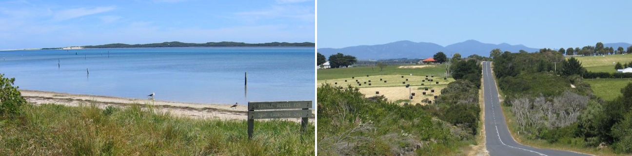
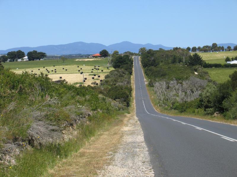
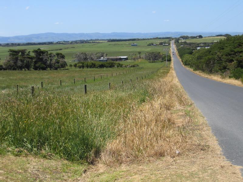
 Wilsons Promontory Road - View south along Wilsons Promontory Rd, just south of Foster Rd
 Wilsons Promontory Road - View south-east along Wilsons Promontory Rd, 3 km from Foster Rd
 Wilsons Promontory Road - Welcome to Wilsons Promontory sign, 2 km north-west of Yanakie (supplied by Promhills Cabins)
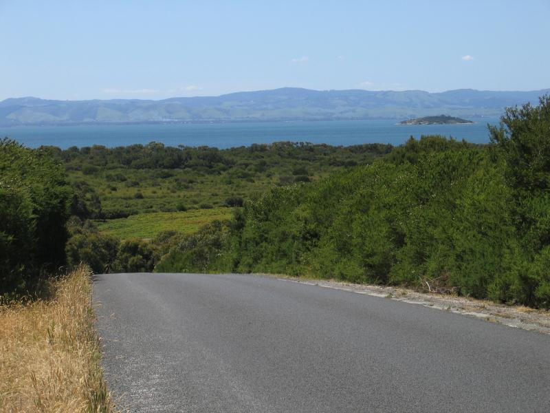
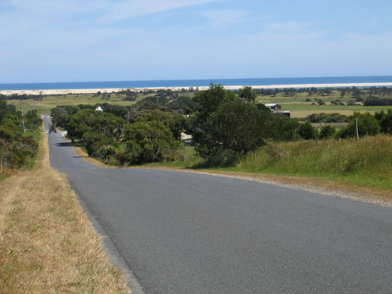
 Wilsons Promontory Road - View from Wilsons Promontory Rd, 5 km from national park entrance gate
 Wilsons Promontory Road - Views east across Corner Inlet, 1 km north of national park entrance gate
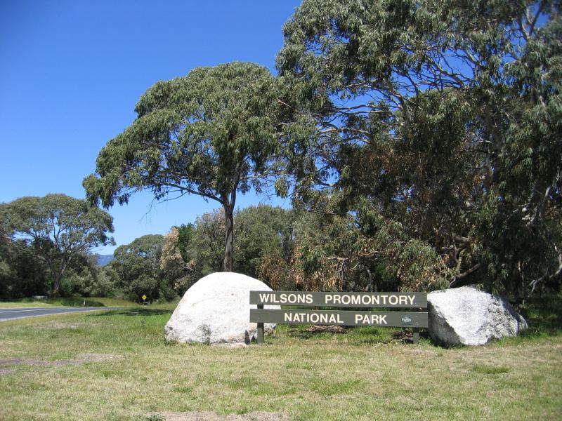 Wilsons Promontory Road - Wilsons Promontory National Park entrance sign
 Duck Point and Corner Inlet, Foley Road - Views south-east towards mountains of Wilsons Promontory from near southern end of Foley Rd
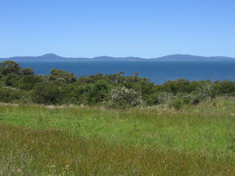 Duck Point and Corner Inlet, Foley Road - View east across Corner Inlet towards Wilsons Promontory from Foley Rd
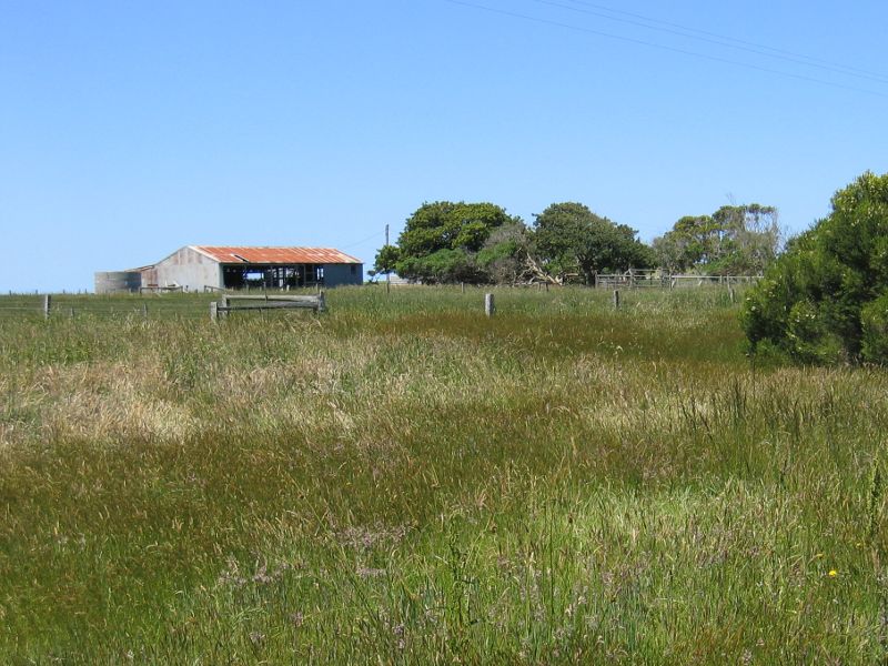
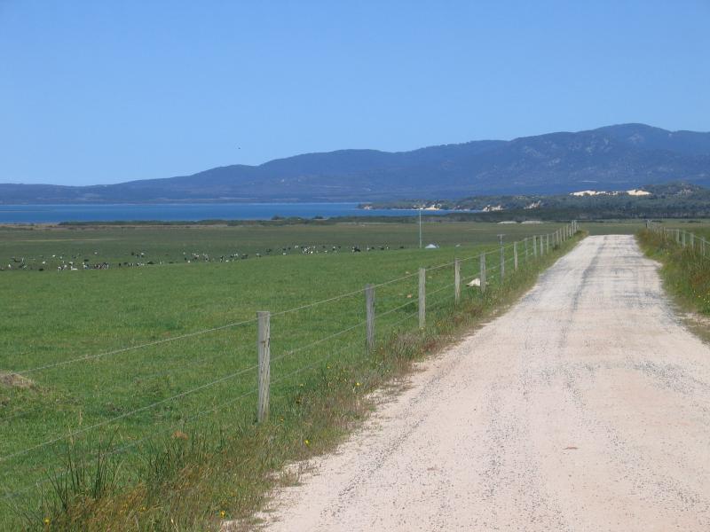
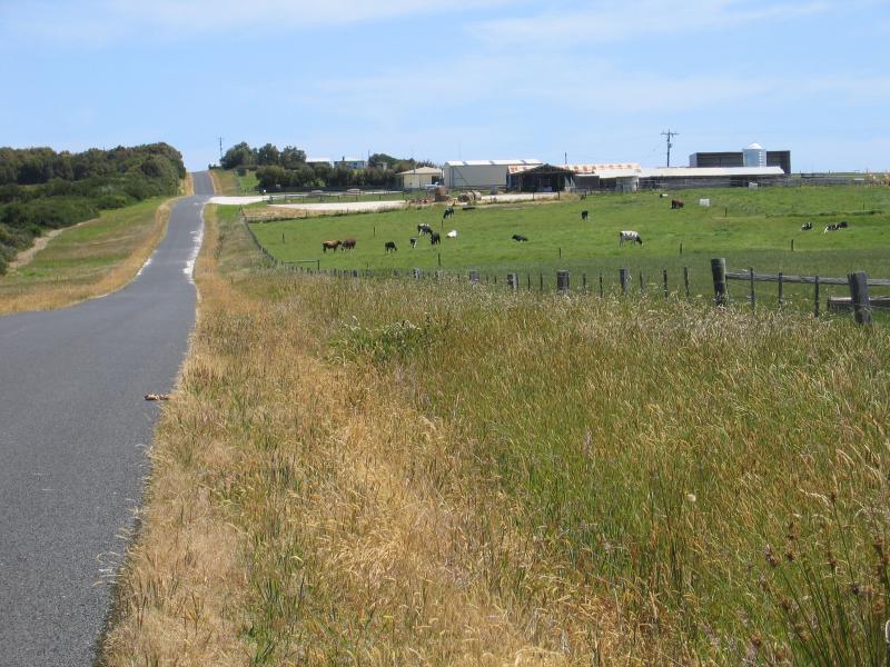 Duck Point and Corner Inlet, Foley Road - Dairy farm, view south-west along Foley Rd
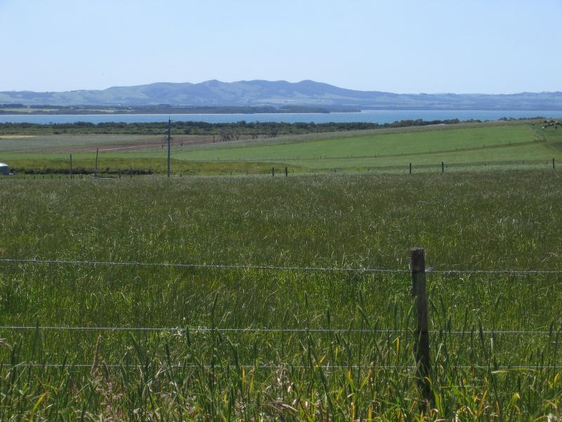 Duck Point and Corner Inlet, Foley Road - Views north-west from Foley Rd
 Duck Point and Corner Inlet, Foley Road - View north along Foley Rd approaching Duck Point
 Duck Point and Corner Inlet, Foley Road - Entrance to to boat ramp car park at Duck Point
 Duck Point and Corner Inlet, Foley Road - Boat ramp and view south along coast
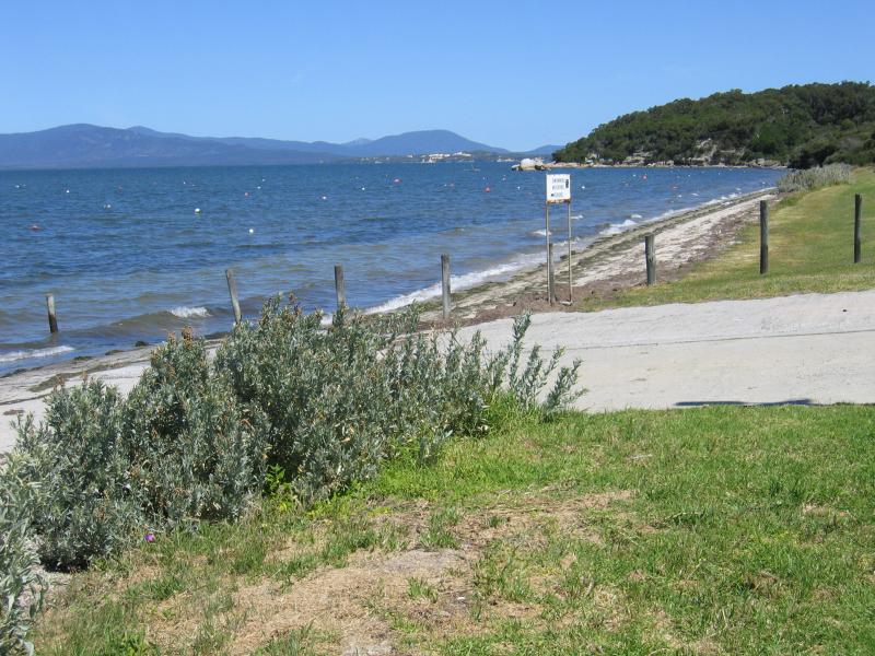
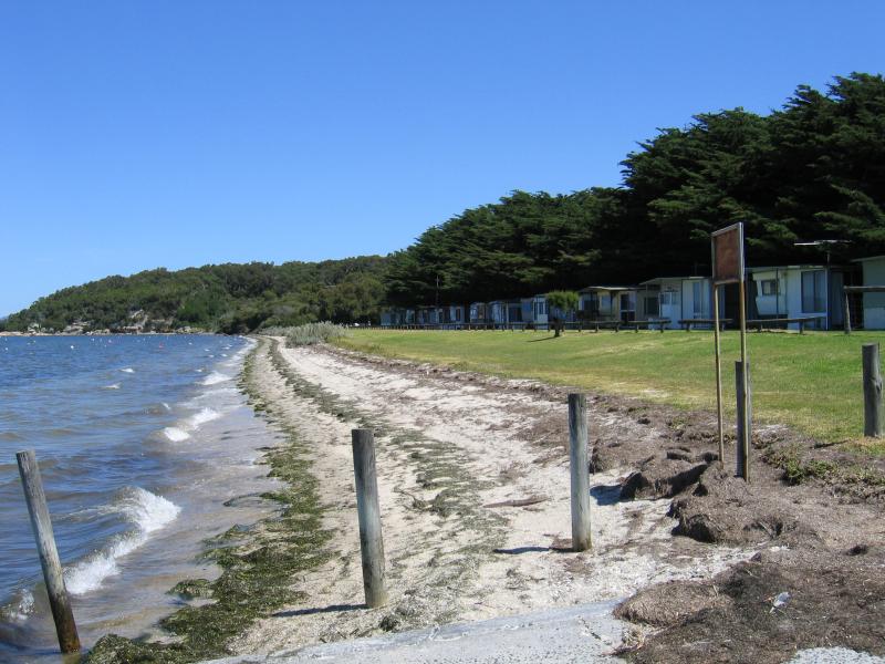 Duck Point and Corner Inlet, Foley Road - View south along coast at boat ramp towards caravan park
 Duck Point and Corner Inlet, Foley Road - View east across Corner Inlet towards Wilsons Promontory from near boat ramp
 Duck Point and Corner Inlet, Foley Road - View north along coast from near boat ramp
 Duck Point and Corner Inlet, Foley Road - View north-east along coast from near boat ramp
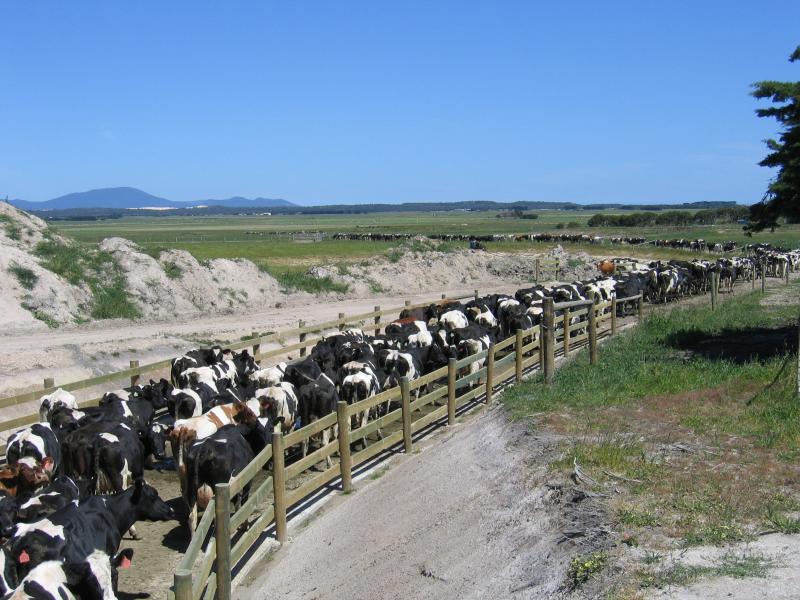 Millar Road (northern section) and surroundings - Cattle crossing under Millar Rd
 Millar Road (northern section) and surroundings - View north-east along Millar Rd
 Millar Road (northern section) and surroundings - View south-west along Millar Rd towards Shallow Inlet
 Shallow Inlet at end of Lester Road - View south along coast
 Shallow Inlet at end of Lester Road - View south-west across Shallow Inlet towards Sandy Point
 Shallow Inlet at end of Lester Road - View north-west along coast