Tarwin Lower
Tarwin Lower
Stay
See and do
Food and drink
Shopping
Getting around
Visitor information
Tarwin Lower is a small community located on the banks of the Tarwin River, 5 kilometres east of the popular coastal resort of Venus Bay and under an hour's drive from the heart of Wilsons Promontory National Park.
The town centre stretches along River Drive and features a small supermarket, service station, the Riverview Hotel, a few other commercial outlets, a hall and church.
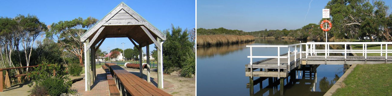
One of the town's primary attractions is the wide Tarwin River which meanders through the town. At the north-western edge of town, opposite the junction of River Drive and Ripple Landing, is an attractive riverfront picnic area. There is a jetty and the Long Table which is made out of wood and is a huge 35 metres in length.
To the east of the town centre, the main road into Tarwin Lower hugs the Tarwin River and there are several fishing and viewing platforms built on the river's edge. To the west of town, the road to Venus Bay is lined by a shared walking and bicycle pathway. The road and pathway meet the Tarwin River at a sweeping bend in the river where a car park and picnic area is provided, offering a good spot for fishing or enjoying the view of the river and surrounding countryside.