Werribee
Werribee
Stay
See and do
Food and drink
Shopping
Getting around
Visitor information
Werribee is located on Port Phillip, between the two largest cities in Victoria - Melbourne and Geelong.
The main commercial centre of Werribee primarily extends along the entire length of Watton Street and also into Synnot Street. The focal point of the centre is Station Place in Watton Street where a formal garden surrounds a a memorial dedicated to those locals that served in wars. Further development will see the commercial precinct extend down to the Werribee River with public squares and a riverbank promenade overlooking Wyndham Park which will become the green heart of the city. A large under cover shopping mall is located 3 kilometres away at the corner of Derrimut Road and Heaths Road in neighbouring Hoppers Crossing.
The Werribee River winds its way behind Watton Street and through Werribee's residential areas where much of the river is lined with parkland and pathways. At Chirnside Park, which is home to a number of sporting facilities, there are picnic areas located under towering gum trees, shady paths and a large lagoon at the bend in the river. Riverbend Historical Park, located off Heaths Road to the north of Werribee, is a pleasant spot beside the river with BBQ areas, a canoe launching deck and it is the site of a diversion weir which was constructed to irrigate the Werribee South market gardens. As the Werribee River heads south towards the coast, scenic views of this National Trust classified waterway and the striking red cliffs it has carved out of the surrounding land can be enjoyed from the park and lookout at the south-western corner of K Road.
South of the town centre is the Werribee Park Tourism Precinct, which is a major tourist drawcard for the area. It includes the Werribee Open Range Zoo, the superbly restored Werribee Park Mansion which was built in the 1870s and is surrounded by exquisite formal gardens, the Victoria State Rose Garden which features thousands of roses, the National Equestrian Centre, Werribee Park Golf Club and Shadowfax Winery.
Throughout much of Werribee South are large market gardens, irrigated using water from the Werribee River and recycled water from the nearby Western Treatment Plant. Drive the loop of Duncans Road and Diggers Road to get a good overview of farming in the district.
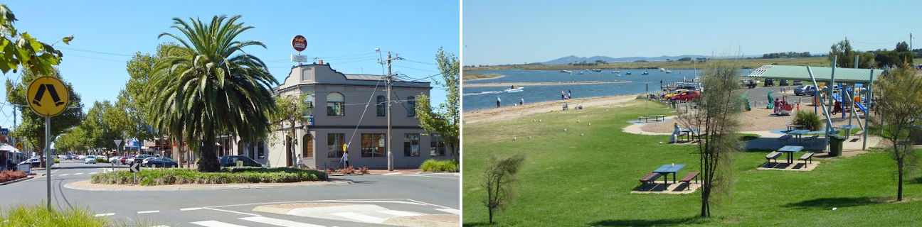
11 kilometres south of the town centre is the Werribee South Beach, located at the mouth of the Werribee River. The estuary offers good recreational fishing and there are several jetties, boat ramps, grass foreshore areas and stretches of sandy beach. The scenic two kilometre Wyndham Bay Trail extends parallel to the coast along Beach Road, suitable for both walkers and cyclists. Under construction at the eastern end of Werribee South's beach is Wyndham Harbour - a world-class marina with waterfront dining, shopping and residential developments.
Point Cook is located on the coast to the east of Werribee. The Point Cook Coastal Park stretches along the coast and covers inland swamps and lakes which are home to an abundance of birdlife. The park also includes a historical bluestone homestead, information centre and cafe.