Myrtleford
Myrtleford
Stay
See and do
Food and drink
Shopping
Getting around
Visitor information
Myrtleford is situated within a major agricultural region, on the scenic Great Alpine Road between Wangaratta and Bright.
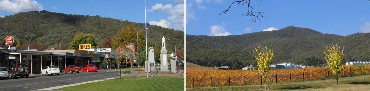
Myrtleford has an attractive commercial centre set against the scenic backdrop of a dense forest mountain range. The Reform Hill lookout, located within this mountain range and just a 5 minute drive from the town centre, offers commanding views over the town centre and surrounding agricultural fields and valleys.
A number of attractive parks are located within the town, including Jubilee Park which fronts Happy Valley Creek (across the road from the post office) and showcases the region's vibrant autumn colours. Rotary Park, situated on the Great Alpine Road where it crosses Barwidgee Creek, features BBQ and picnic areas, a footbridge, and the historic Log Tobacco Kiln.
Other attractions within town include the Tobacco Co-Op where the landmark Big Cigarette is clearly visible from the Yackandandah Road, and the Phoenix Tree at the western entrance to town on the Great Alpine Road, which was carved out of the trunk and roots of a huge river red gum tree by sculptor Hans Knorr.
Several wineries are located in the Myrtleford area including the traditional Italian Michelini Wines close to the town centre and Gapsted Wines, located a few kilometres north-west of Myrtleford. Other agricultural industries in the area include farms of nuts, berries, fruit and hops.
Take a scenic drive along Happy Valley Road. Commencing south of Myrtleford at the village of Ovens, the route heads eastwards through the valley, passing through wineries, an olive grove and lavender farm.
21 kilometres south of Myrtleford, on the Buffalo River Road, is Lake Buffalo which features picnic areas, a swimming beach and a boat launching ramp. The road across the dam wall provides scenic views across the lake and the Buffalo River. Also south of Myrtleford is the Mount Buffalo National Park which is named after the mountain peak within the park and is accessed via the small town of Porepunkah.