Myrtleford - photos
Myrtleford
Stay
See and do
Food and drink
Shopping
Getting around
Visitor information
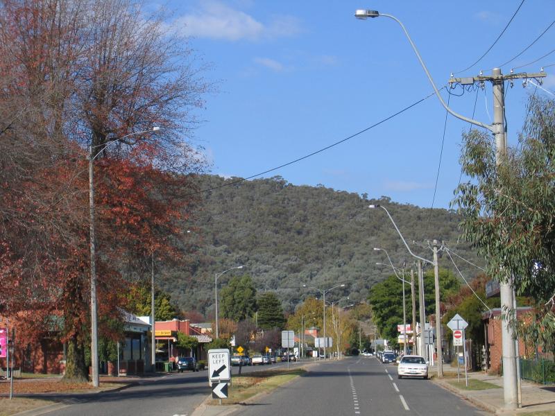 Shops and commercial centre - View south-east along Myrtle St towards Standish St
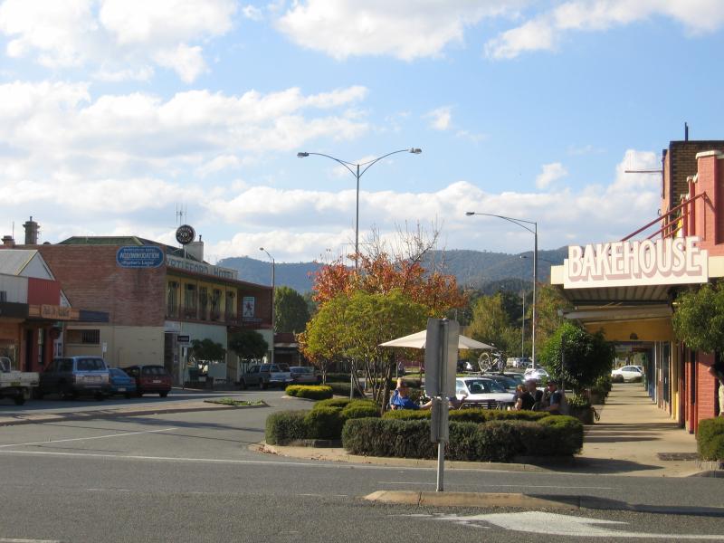
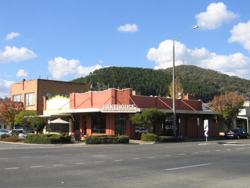 Shops and commercial centre - Myrtleford Bakehouse Cafe, corner Myrtle St and Standish St
 Shops and commercial centre - View south-east along Myrtle St at Standish St
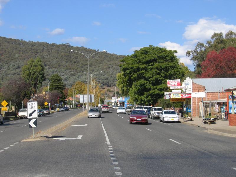
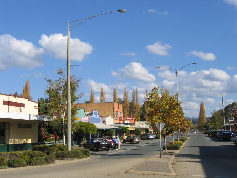
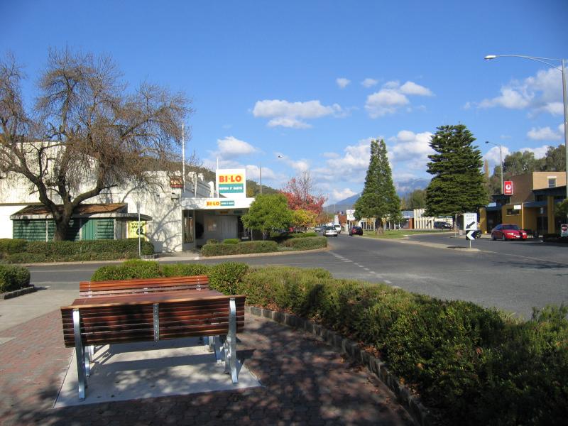
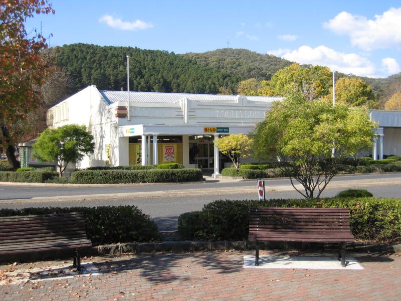
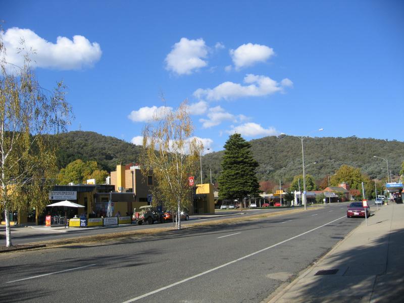 Shops and commercial centre - View south-east along Myrtle St towards Clyde St
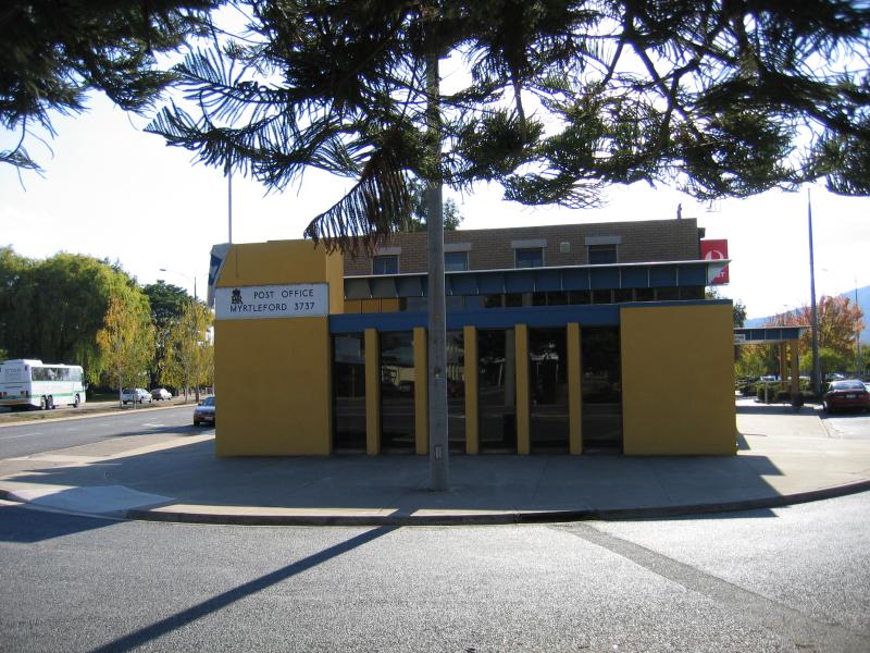 Shops and commercial centre - Myrtleford Post Office, corner Clyde St and Myrtle St
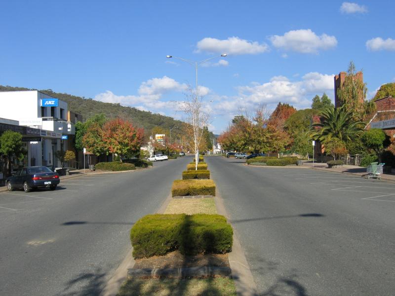
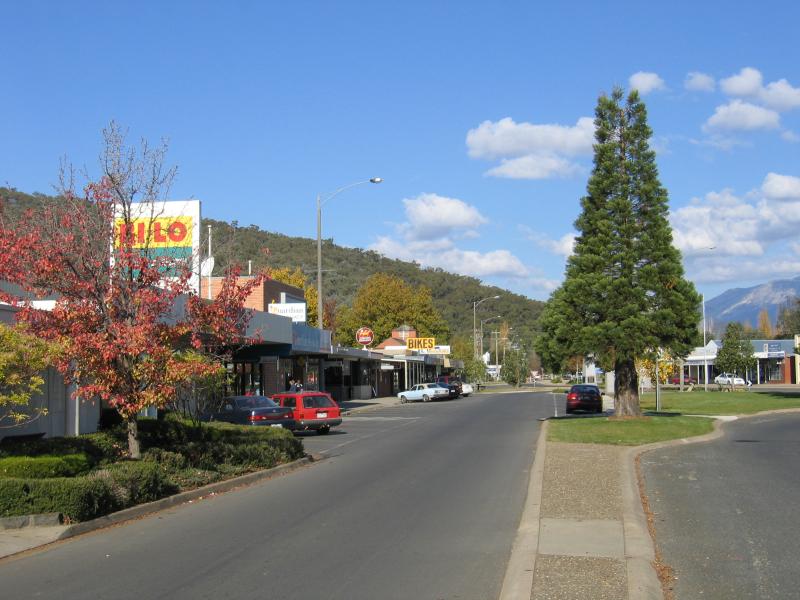
 Shops and commercial centre - View south-east along Myrtle St at Clyde St
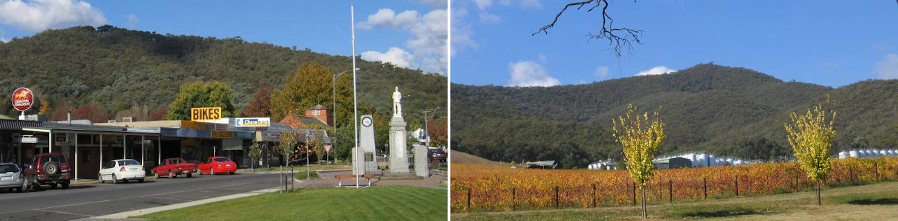
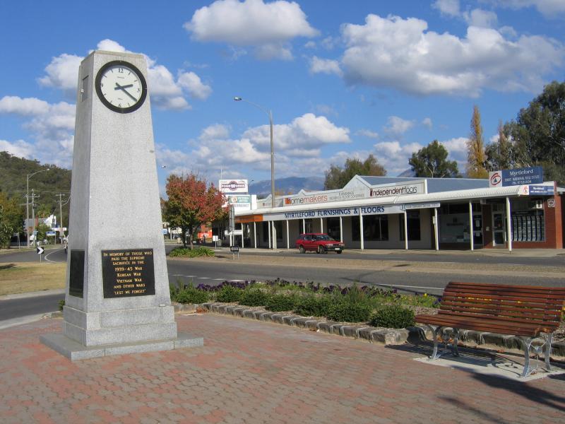
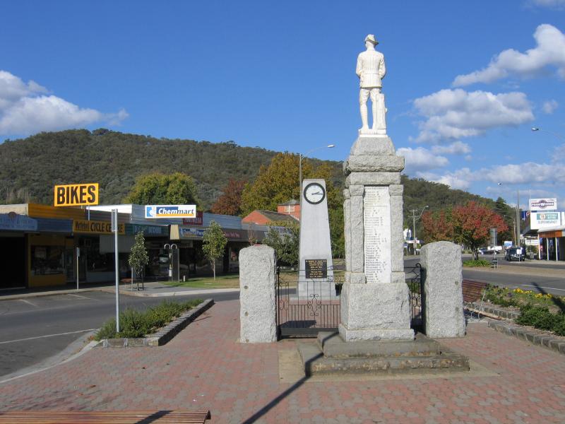 Shops and commercial centre - War memorial, Myrtle St at Clyde St
 Shops and commercial centre - War memorial and clock, Myrtle St at Clyde St
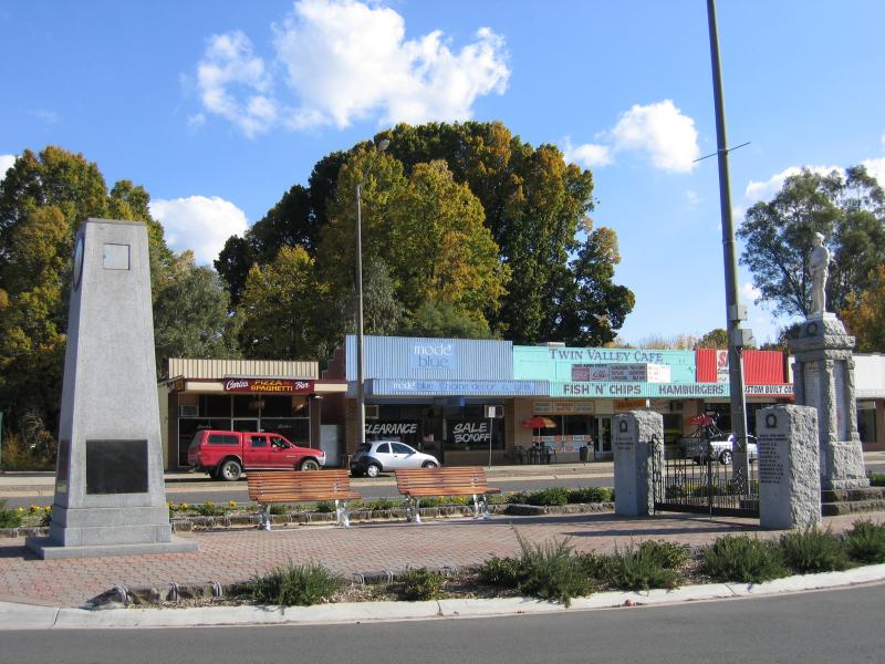
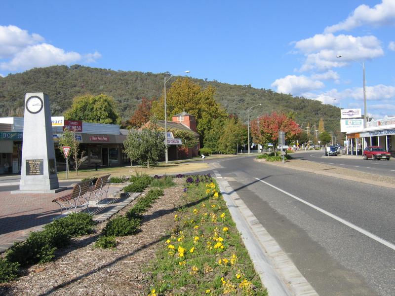 Shops and commercial centre - View south-east along Myrtle St at Clyde St
 Shops and commercial centre - Memorial clock, view south-east along Myrtle St at Clyde St
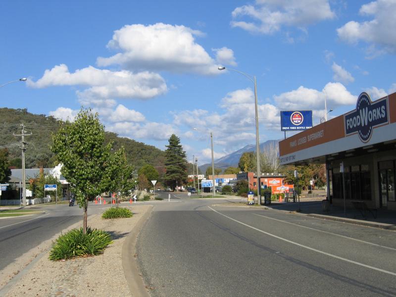 Shops and commercial centre - View south-east along Myrtle St towards Albert St
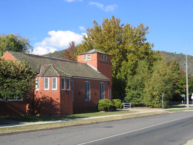 Shops and commercial centre - Uniting Church, view south-east along Myrtle St towards Albert St
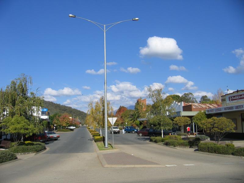
 Shops and commercial centre - View north-east along Standish St at Myrtle St
 Shops and commercial centre - View south-west along Standish St at Clyde St
 Shops and commercial centre - View south-west along Standish St at Clyde St
 Shops and commercial centre - View north-east along Standish St towards Clyde St
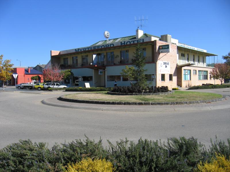 Shops and commercial centre - Myrtleford Hotel, corner Standish St and Smith St
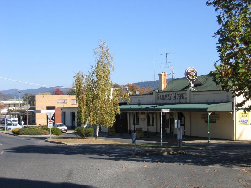 Shops and commercial centre - Railway Hotel, view south-west along Standish St at Duke St
 Shops and commercial centre - View south-east along Clyde St at Standish St
 Shops and commercial centre - View south-east along Clyde St between Standish St and Queen St
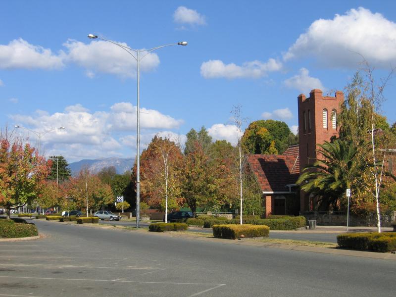 Shops and commercial centre - Anglican Church, view south-east along Clyde St
 Shops and commercial centre - View south-east along Clyde St towards Queen St
 Shops and commercial centre - Supermarket, corner Clyde St and Queen St
 Shops and commercial centre - View south-east along Clyde St at Queen St
 Shops and commercial centre - View south-east along Clyde St at Myrtle St
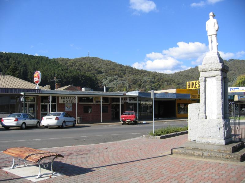 Shops and commercial centre - Buffalo Hotel, Clyde St at Myrtle St
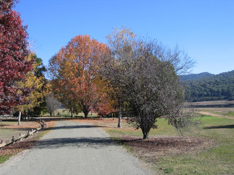
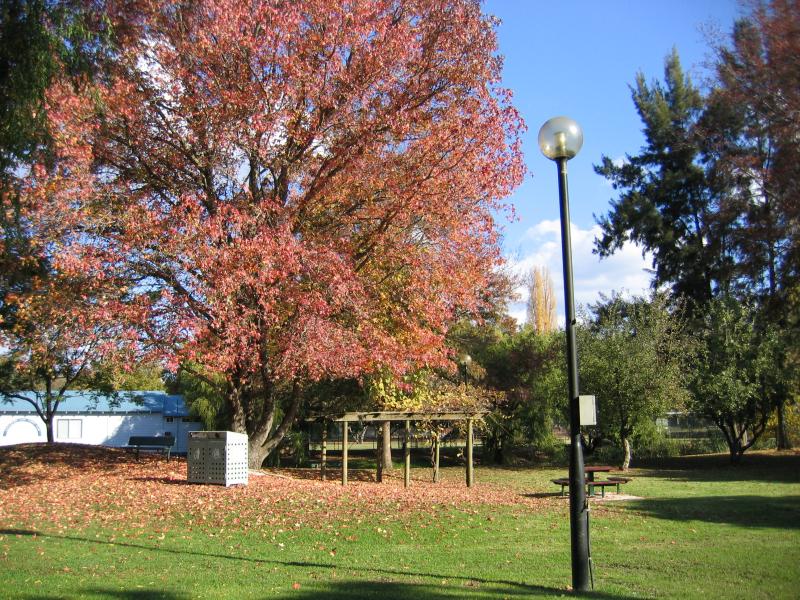 Jubilee Park, Myrtle Street - View through park
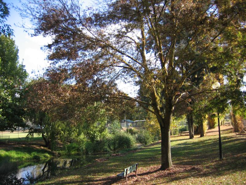 Jubilee Park, Myrtle Street - View west along Happy Valley Creek through park
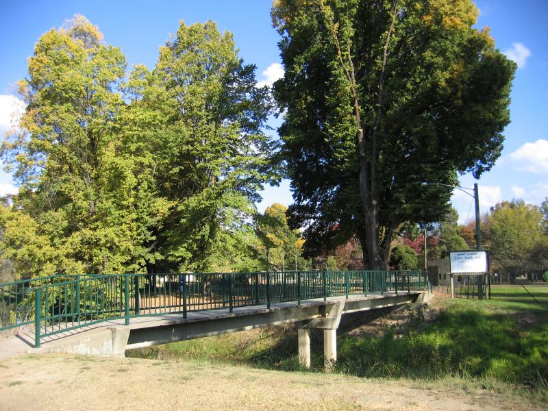 Jubilee Park, Myrtle Street - Footbridge across Happy Valley Creek
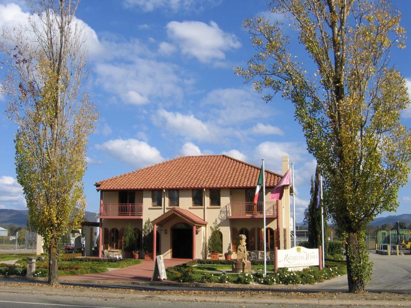 Around Myrtleford - Michelini Wines, Myrtle St west of Prince St
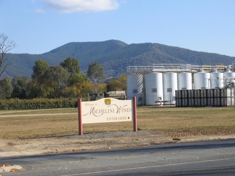 Around Myrtleford - Michelini Wines, Myrtle St west of Prince St
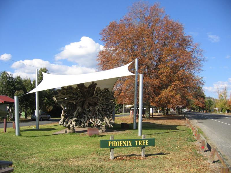 Around Myrtleford - Phoenix Tree, Myrtle St west of Prince St
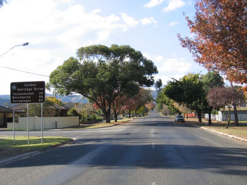 Around Myrtleford - View north-east along Prince St towards McGeehan St
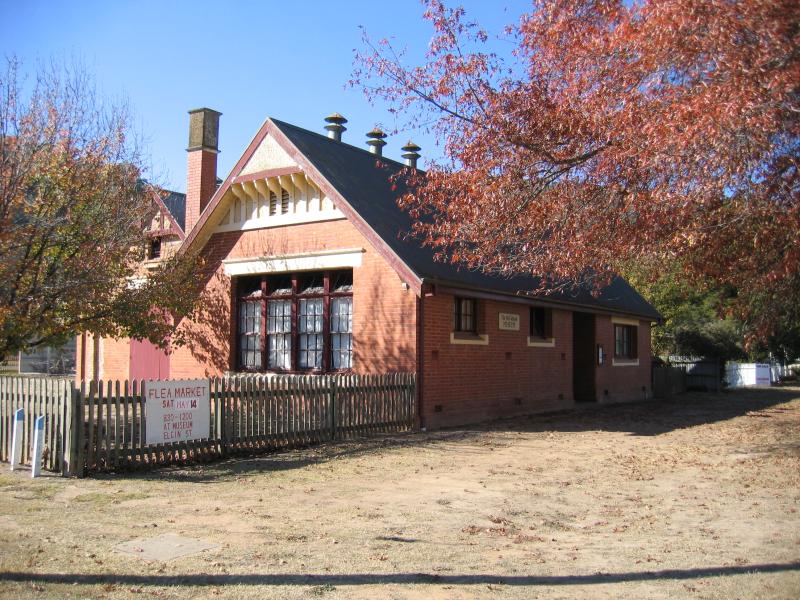 Around Myrtleford - Old School Museum, corner Elgin St and Albert St
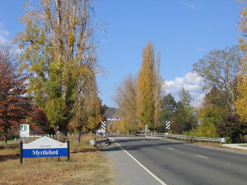 Rotary Park, Great Alpine Road at Barwidgee Creek - View south-east along Great Alpine Rd towards Barwidgee Creek and Myrtleford town sign
 Rotary Park, Great Alpine Road at Barwidgee Creek - View south-east along Great Alpine Rd at Rotary Park
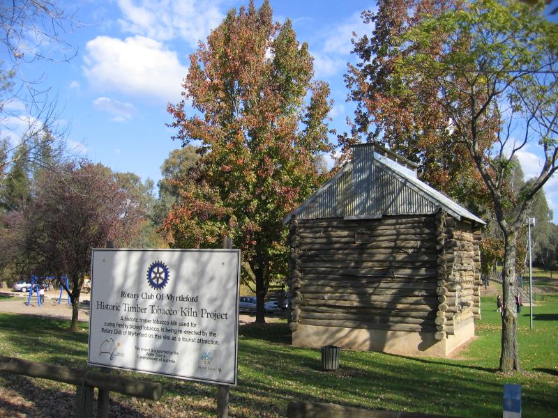 Rotary Park, Great Alpine Road at Barwidgee Creek - Historic Timber Tobacco Kiln
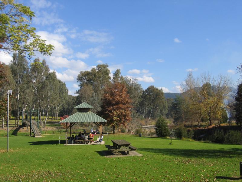 Rotary Park, Great Alpine Road at Barwidgee Creek - Picnic areas and shelter
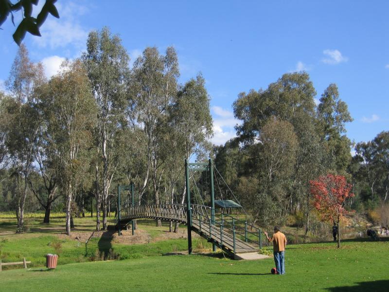 Rotary Park, Great Alpine Road at Barwidgee Creek - Footbridge
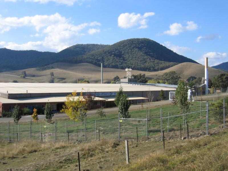 Tobacco Co-Op, Yackandandah Road east of Briggs Lane - Tobacco Co-Operative of Victoria
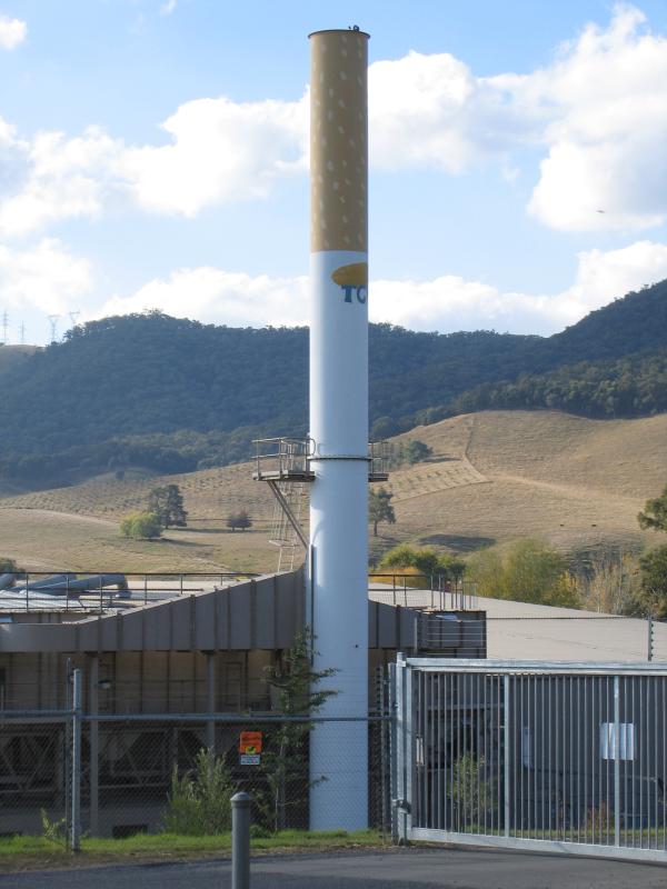 Tobacco Co-Op, Yackandandah Road east of Briggs Lane - View of Big Cigarette at Tobacco Co-Op
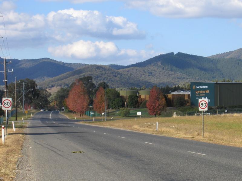 Tobacco Co-Op, Yackandandah Road east of Briggs Lane - View north-east along Yackandandah Rd towards Myrtleford Mill
 Halls Road area - View north from Halls Rd near Nil Gully Reservoir
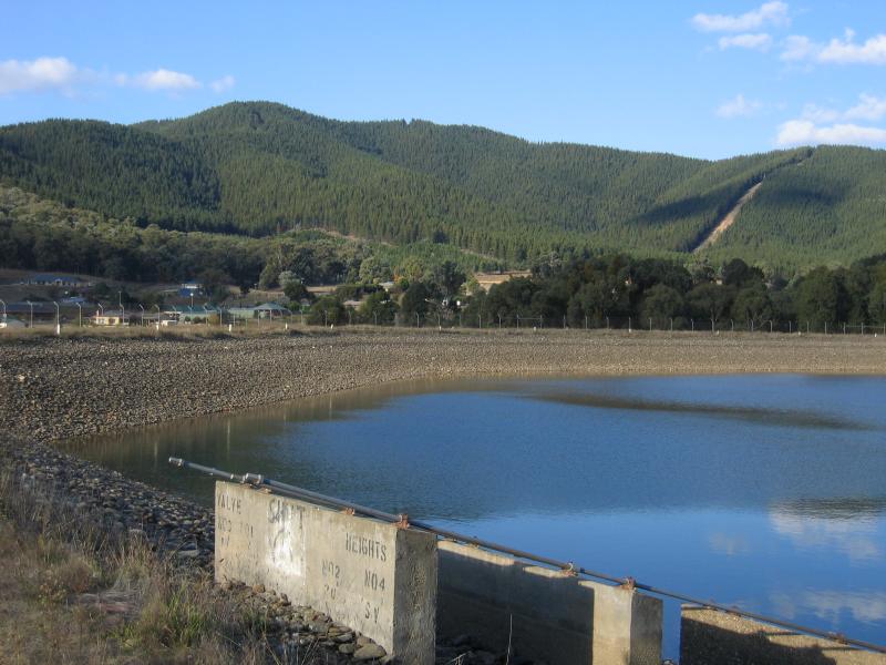 Halls Road area - View north-east across Nil Gully Reservoir, off Halls Rd
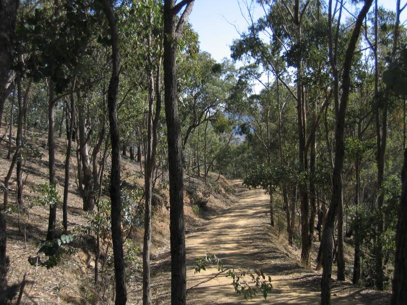 Reform Hill lookout, Scenic Drive - Access road to Reform Hill lookout
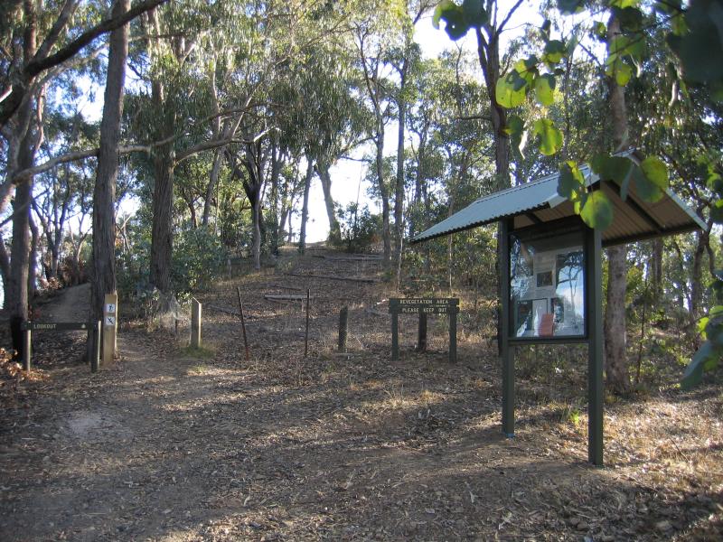 Reform Hill lookout, Scenic Drive - Path from car park to lookout
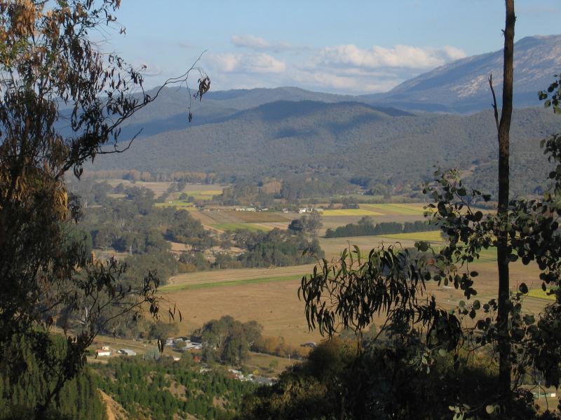
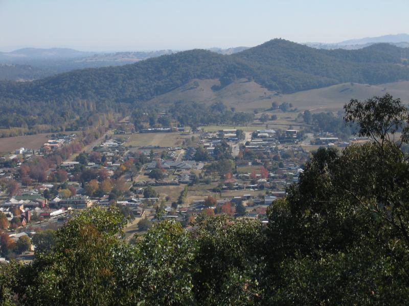 Reform Hill lookout, Scenic Drive - North-westerly view towards town
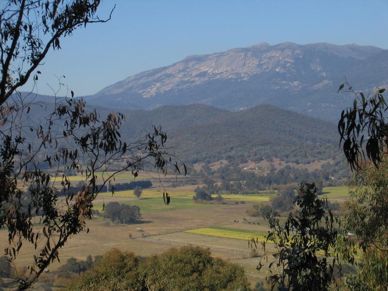
 Reform Hill lookout, Scenic Drive - Westerly view towards town
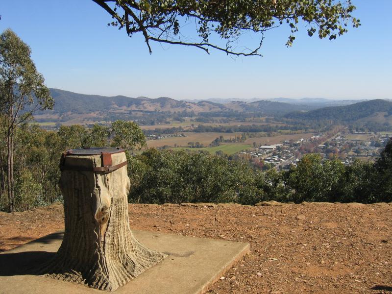 Reform Hill lookout, Scenic Drive - Westerly view to town
 Reform Hill lookout, Scenic Drive - South-westerly view
 Reform Hill lookout, Scenic Drive - View south
 Reform Hill lookout, Scenic Drive - South-easterly view
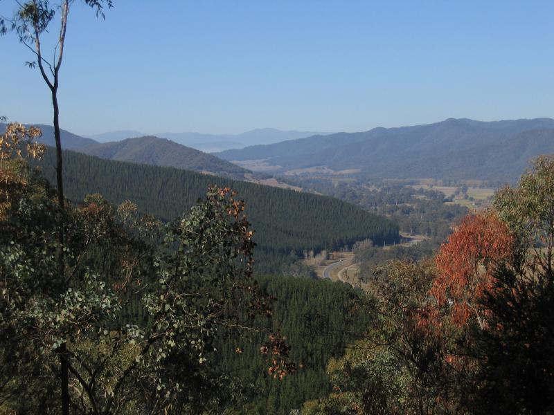 Reform Hill lookout, Scenic Drive - South-easterly view along Great Alpine Rd
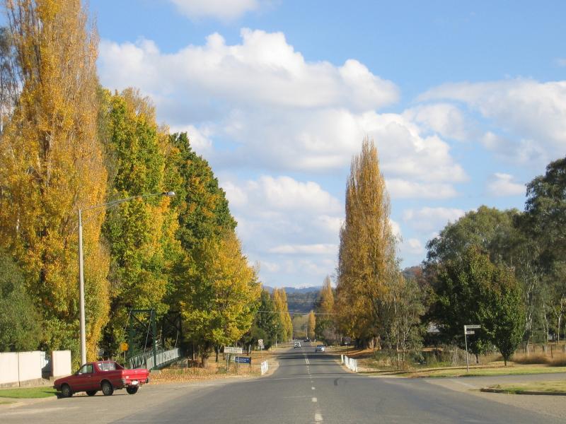
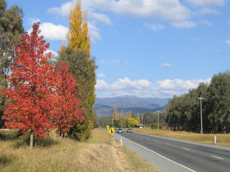 West of Myrtleford - View south-east along Great Alpine Road, 3 km west of Myrtleford
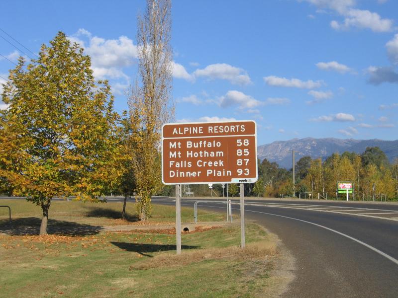 East of Myrtleford - Alpine Resorts sign, view east along Great Alpine Rd just east of Willow Gr
 East of Myrtleford - View east along Great Alpine Rd, east of Willow Gr
 Buffalo River Road - View south-west along Buffalo River Rd towards King St
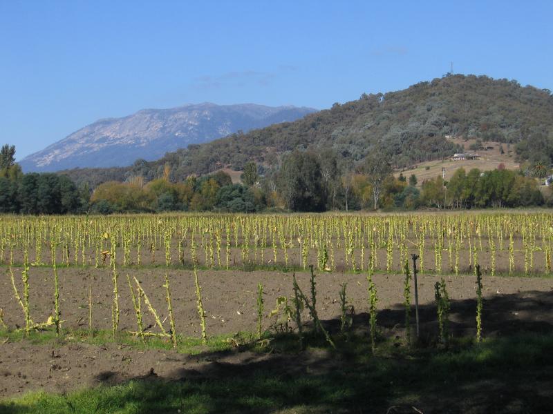
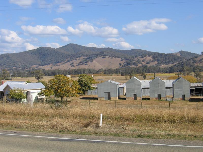
 Buffalo River Road - Tobacco fields, Lewis Av near Buffalo River Rd
 Buffalo River Road - View east across tobacco fields, Buffalo River Rd near Ovens River
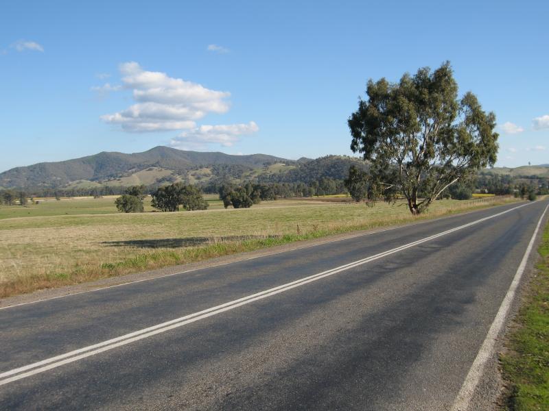
 Buffalo River Road - View west from Buffalo River Rd, 6 km south of Myrtleford
 Buffalo River Road - View south along Buffalo River Rd, 10 km south of Myrtleford
 Lake Buffalo - Access road to lake off Buffalo River Rd
 Lake Buffalo - Boat ramp
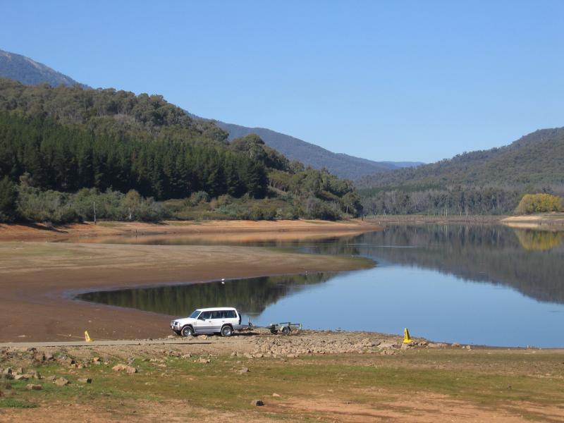
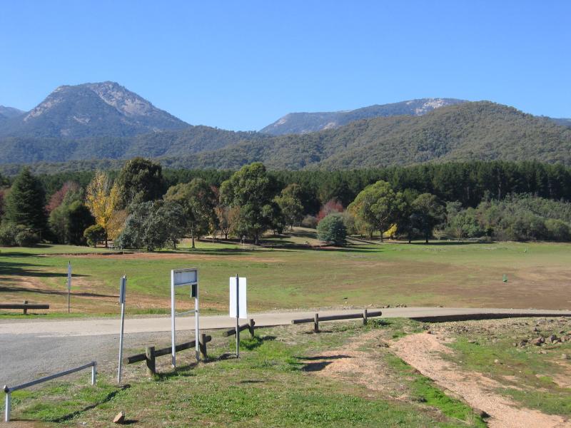
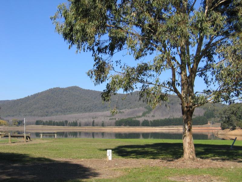 Lake Buffalo - View across lake
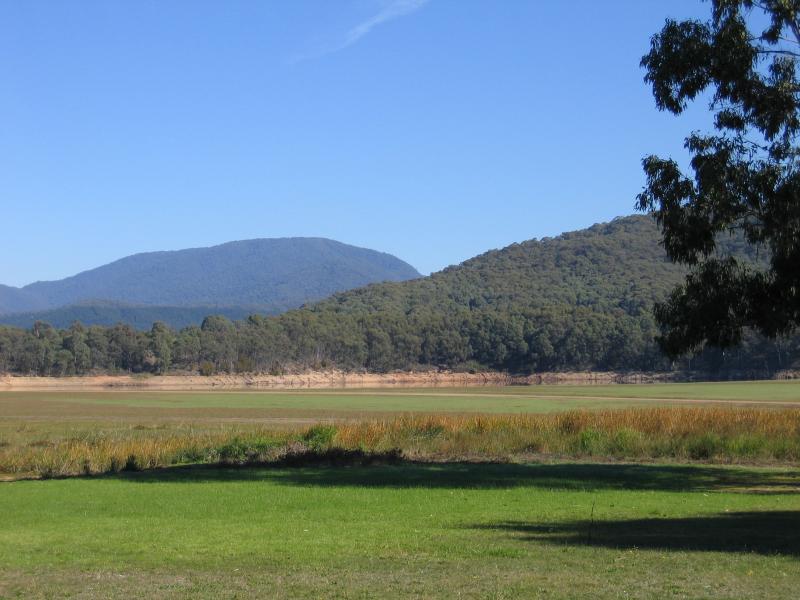 Lake Buffalo - View across lake
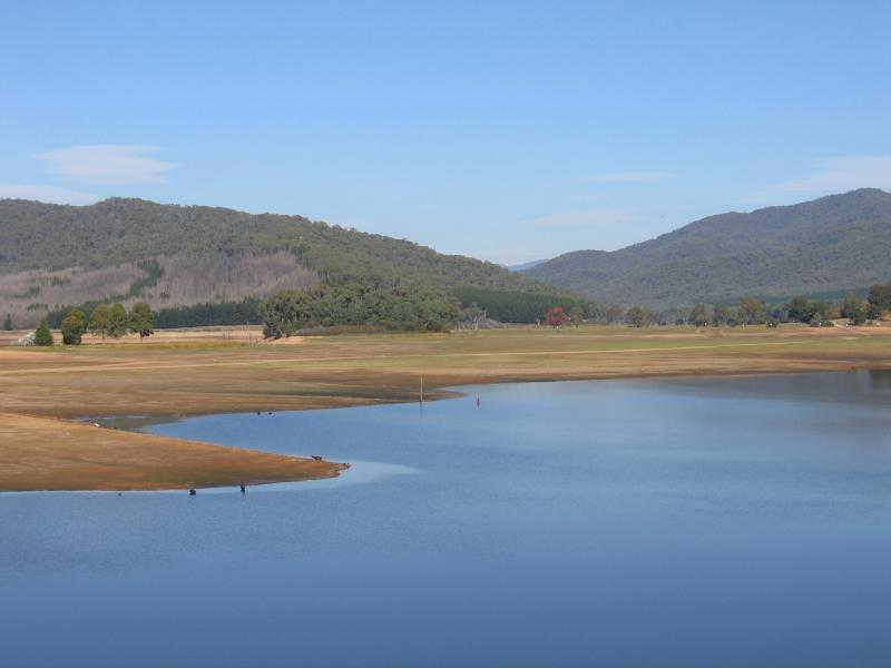
 Lake Buffalo - Swimming area - dry!
 Lake Buffalo - View east towards Mt Buffalo
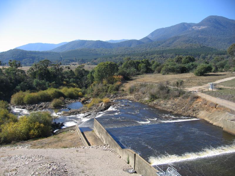
 Lake Buffalo dam wall - View east along dam wall
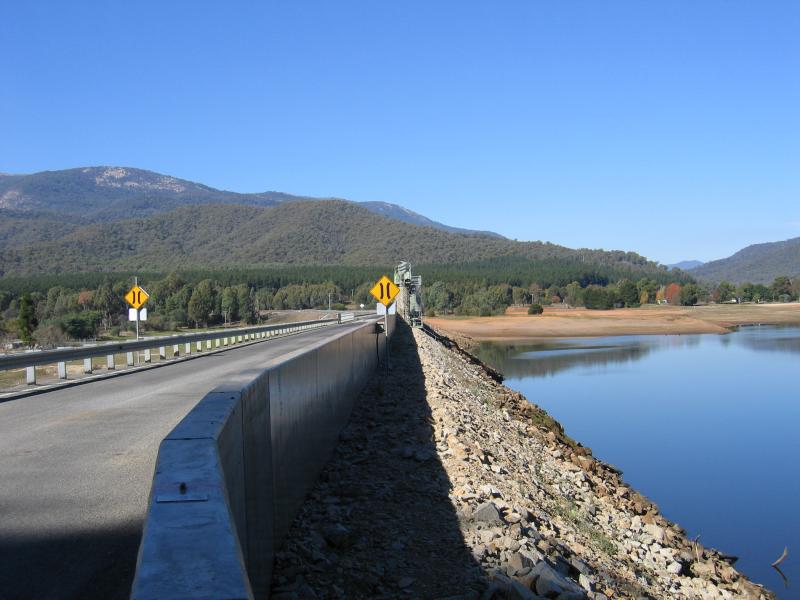 Lake Buffalo dam wall - View east along Buffalo River Rd across dam wall
 Lake Buffalo dam wall - Easterly views from near dam wall across lake
 Lake Buffalo dam wall - Easterly views from near dam wall across lake
 Lake Buffalo dam wall - View south across lake from near dam wall
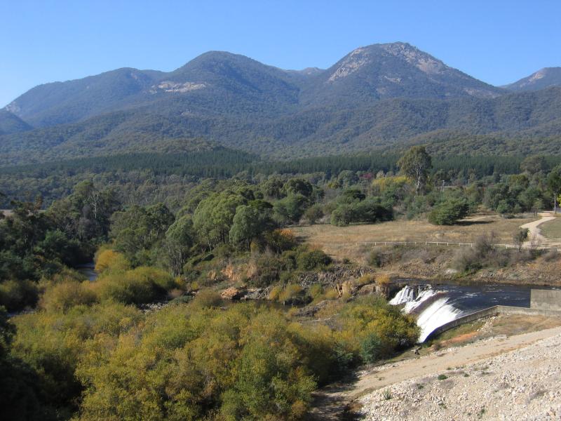 Lake Buffalo dam wall - View east across Buffalo River from dam wall
 Lake Buffalo dam wall - View north along Buffalo River at dam wall
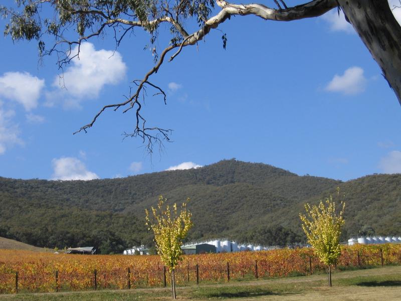 Gapsted, Great Alpine Road north-west of Myrtleford - Gapsted Winery
 Gapsted, Great Alpine Road north-west of Myrtleford - View south
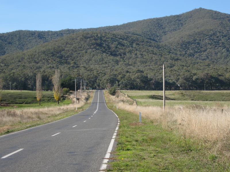
 Glenrowan Road (C522) near Great Alpine Road at Gapstead - View west along Glenrowan Rd near Great Alpine Rd
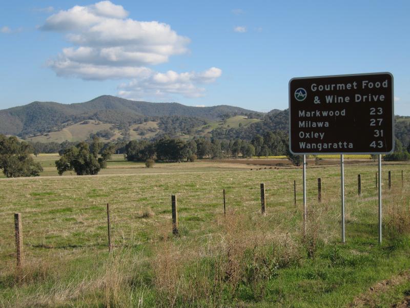 Glenrowan Road (C522) near Great Alpine Road at Gapstead - Gourmet Food & Wine Drive sign, view south from Glenrowan Rd
 Glenrowan Road (C522) near Great Alpine Road at Gapstead - View east along Glenrowan Rd towards Great Alpine Rd
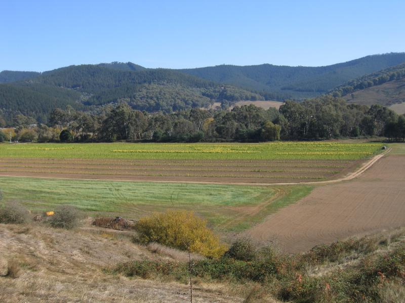
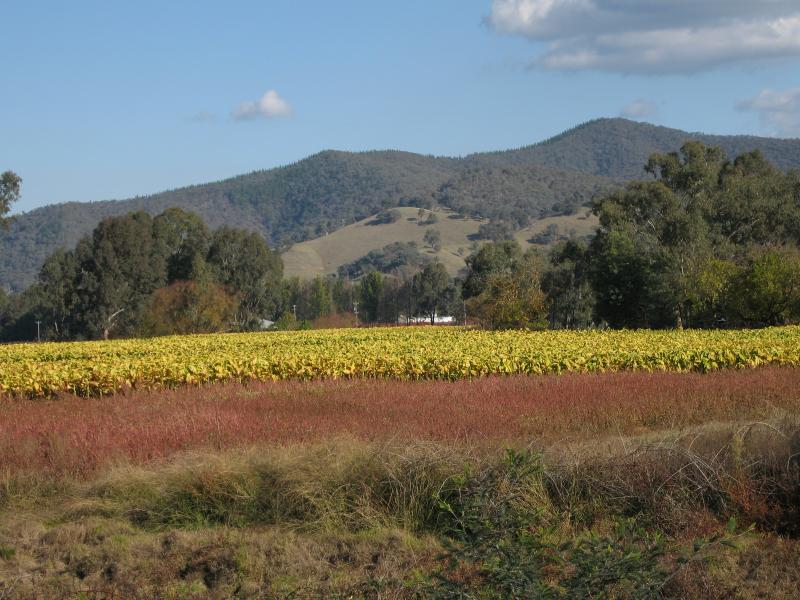 Glenrowan Road (C522) near Great Alpine Road at Gapstead - Tobacco fields viewed from Glenrowan Rd
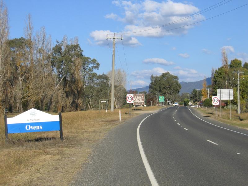 Town of Ovens, 5 kilometres south-east of Myrtleford - View south-east along Great Alpine Rd towards Ovens town sign
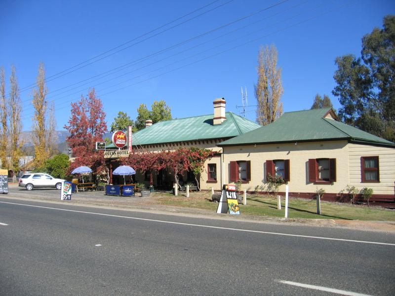 Town of Ovens, 5 kilometres south-east of Myrtleford - Ovens hotel, Great Alpine Rd