Myrtleford - public transport
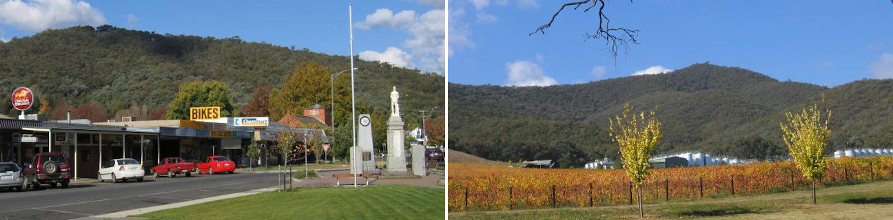
Myrtleford
Stay
See and do
Food and drink
Shopping
Getting around
Visitor information
Train
Wangaratta station
(46 km away)
Wodonga station
(67 km away)
Bus
| Route | Operator | Timetable | Map |
|---|---|---|---|
| Wangaratta to Bright Via Wangaratta station, Myrtleford, Porepunkah |
Dysons Wangaratta | ||
| Wangaratta to Myrtleford Via Wangaratta station |
Dysons Wangaratta | ||
| Albury (NSW) to Myrtleford Via Wodonga, Baranduda, Yackandandah |
Dysons Wangaratta | ||
| Mount Beauty to Wangaratta Via Bright, Porepunkah, Myrtleford, Beechworth, Everton, Milawa, Oxley, Wangaratta, Wangaratta station |
|||
| Melbourne to Dinner Plain (snow season only) Via Southern Cross station, Melbourne Airport, Wangaratta station, Myrtleford, Bright, Harrietville, Mount Hotham |
Hotham Bus | ||
| Melbourne to Falls Creek (snow season only) Via Southern Cross station, Melbourne Airport, Myrtleford, Bright |
Falls Bus |