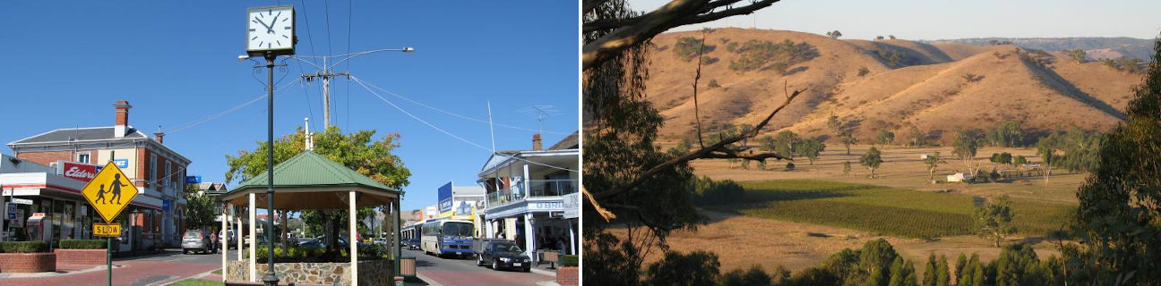
Alexandra - photos
Alexandra
Stay
See and do
Food and drink
Shopping
Getting around
Visitor information
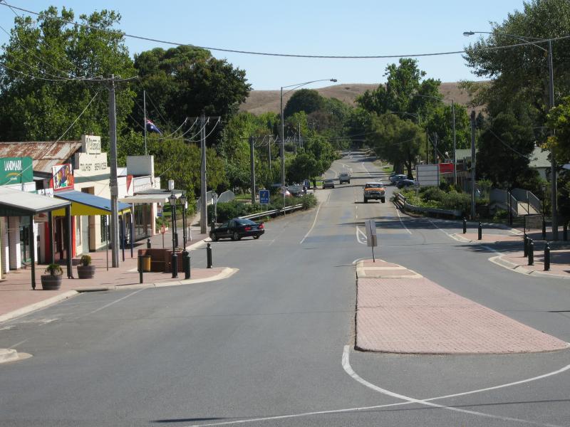
 Commercial centre and shops - View south along Grant St towards Nihil St
 Commercial centre and shops - View north along Grant St at Nihil St
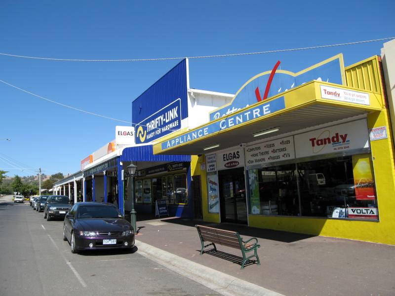
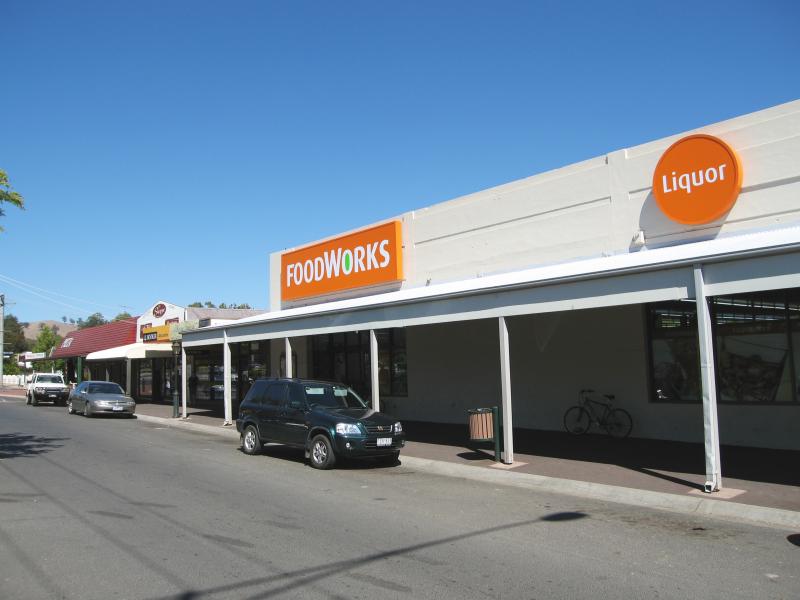 Commercial centre and shops - Supermarket, view south along Grant St towards Nihil St
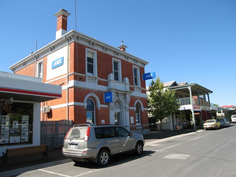
 Commercial centre and shops - View east across Grant St between Downey St and Nihil St
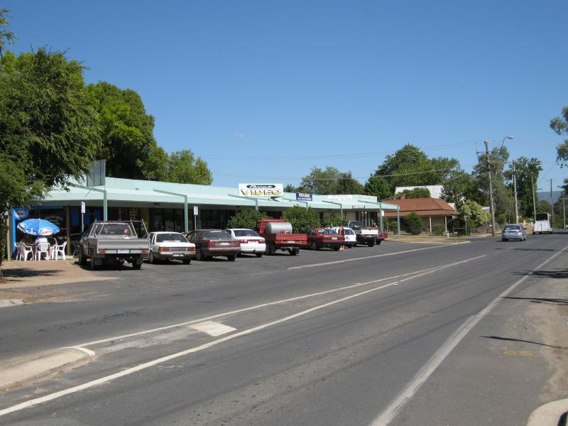
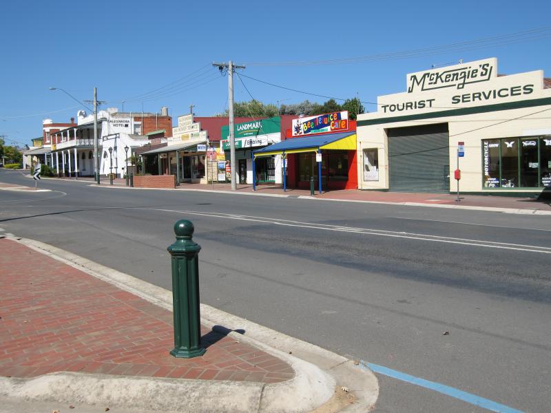
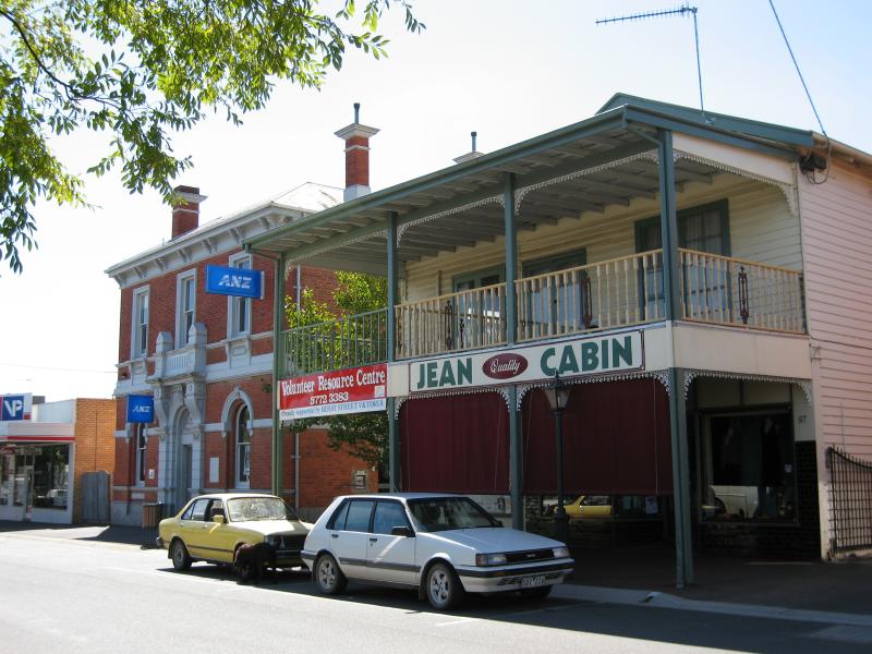 Commercial centre and shops - Shops, Grant St between Downey St and Nihil St
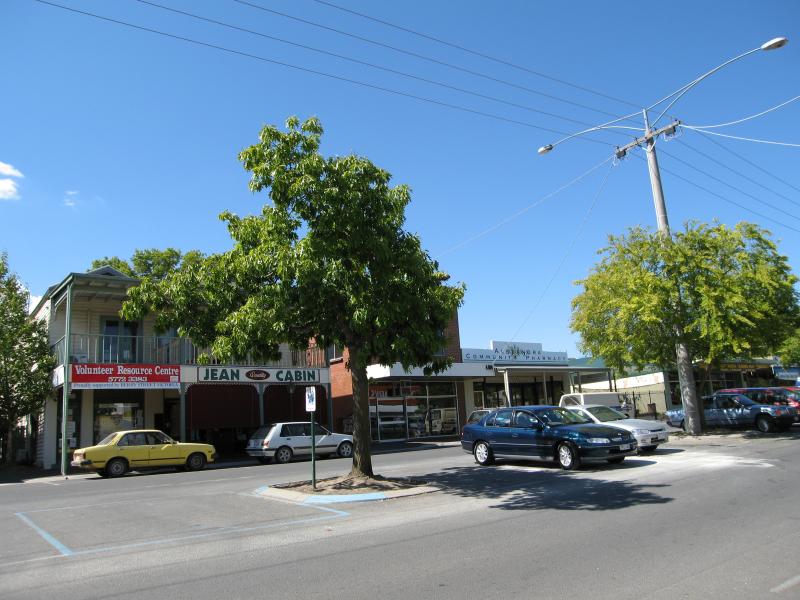
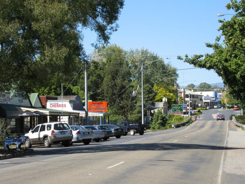
 Commercial centre and shops - View south along Grant St between Downey St and Nihil St
 Commercial centre and shops - View south along Grant St between Downey St and Nihil St
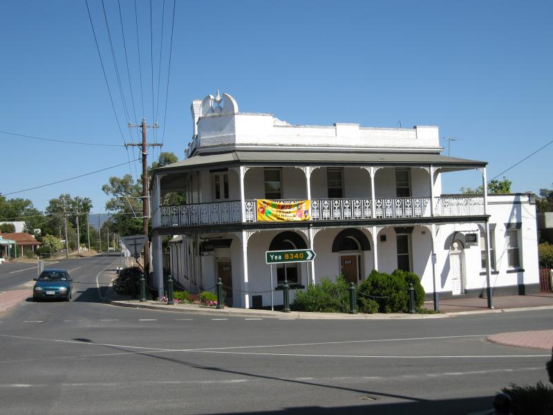
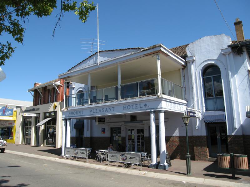 Commercial centre and shops - Mount Pleasant Hotel, Grant St
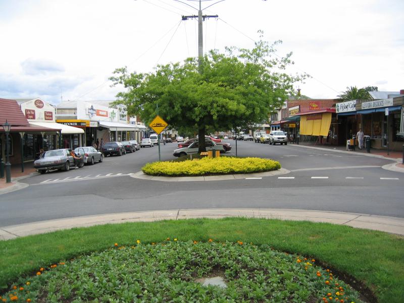
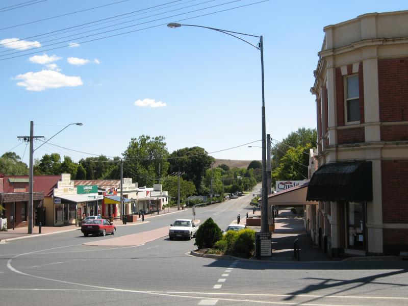
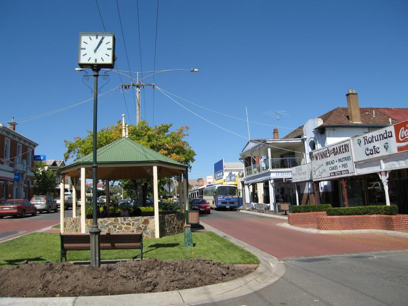 Commercial centre and shops - View south along Grant St towards rotunda
 Commercial centre and shops - View south along Grant St towards rotunda
 Commercial centre and shops - View north along Grant St between Downey St and Nihil St
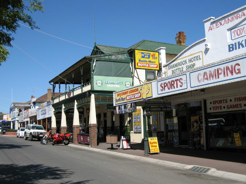
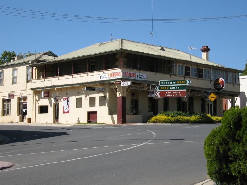
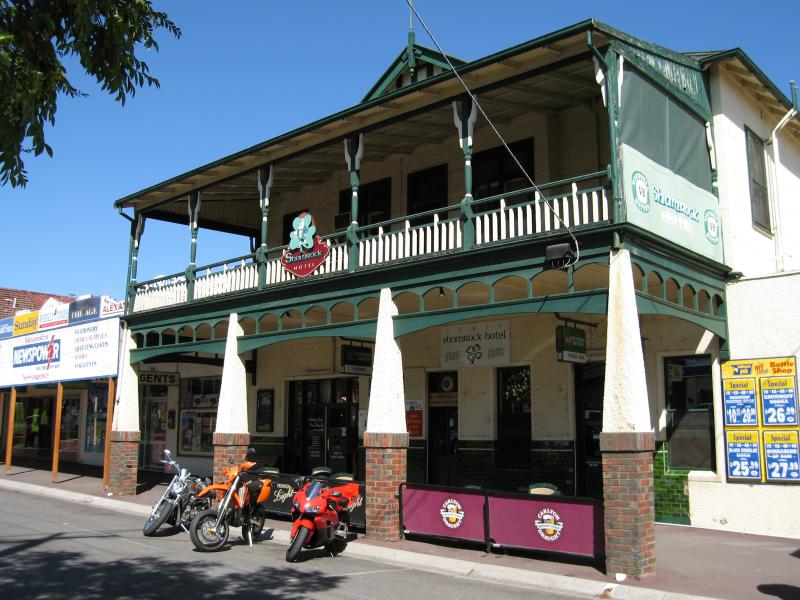 Commercial centre and shops - Shamrock Hotel, Grant St
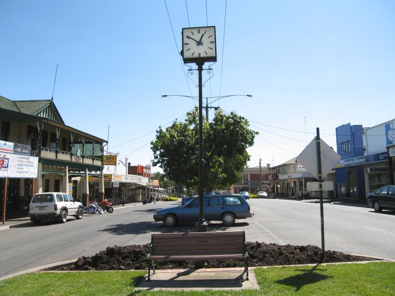
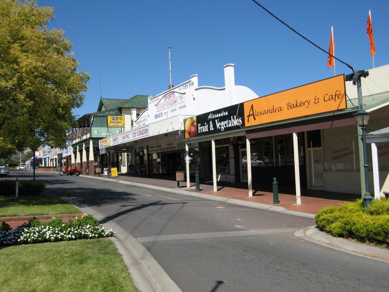
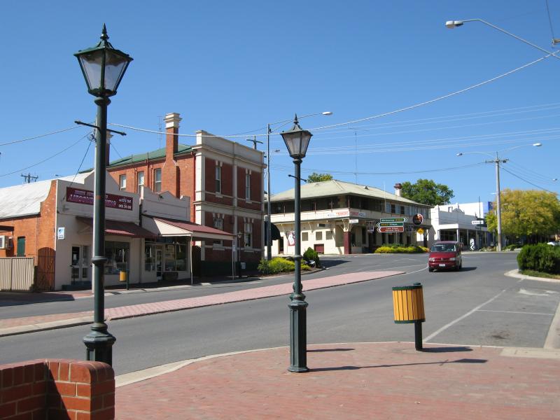
 Commercial centre and shops - View south along Grant St towards Shamrock Hotel
 Commercial centre and shops - View south along Grant St between Downey St and Nihil St
 Commercial centre and shops - View south along Grant St, just south of Downey St
 Commercial centre and shops - View north along Grant St towards Downey St
 Commercial centre and shops - View north along Grant St at Downey St
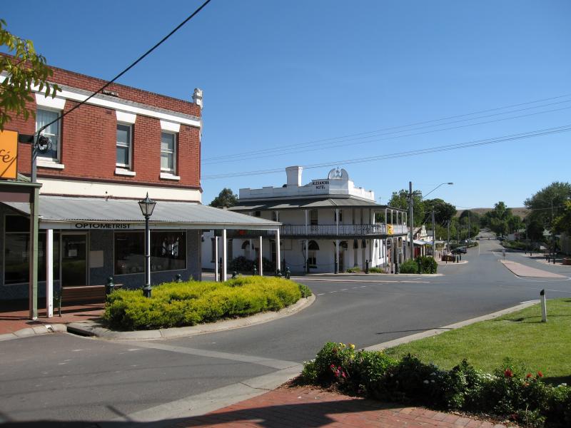
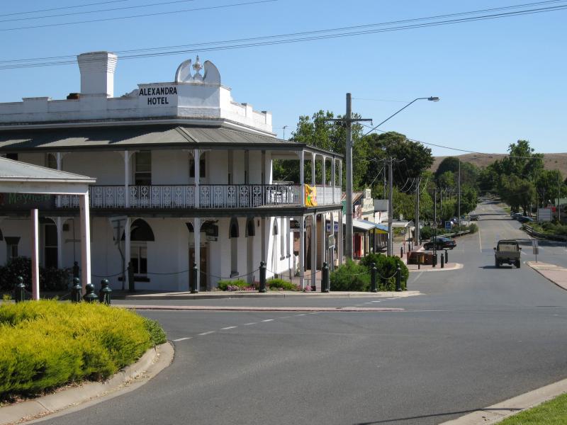
 Commercial centre and shops - Alexandra Hotel, view west along Downey St at Grant St
 Commercial centre and shops - Shops along Downey St between Grant St and Bayley St
 Commercial centre and shops - Corner Hotel, corner Downey St and Grant St
 Commercial centre and shops - View north along Grant St at Downey St
 Commercial centre and shops - View north along Grant St from Downey St
 Commercial centre and shops - View south along Grant St towards Downey St
 Commercial centre and shops - View south along Grant St towards Downey St
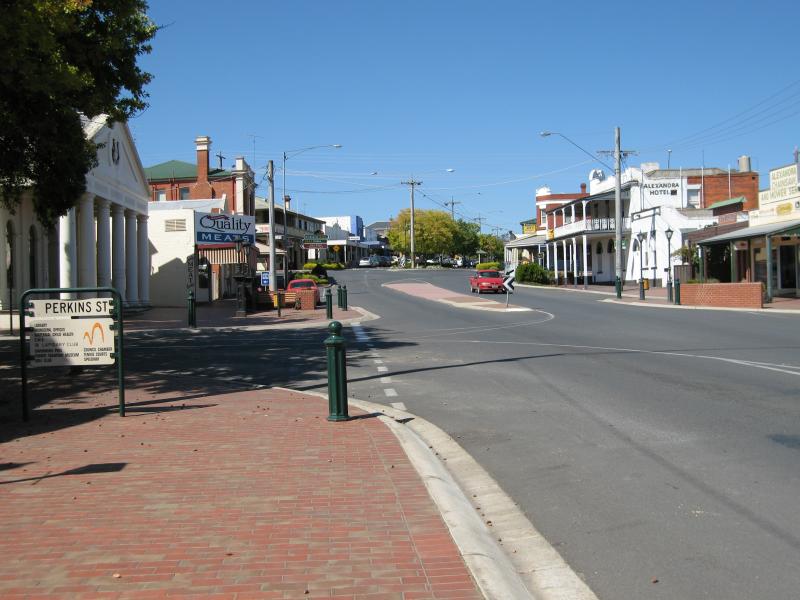
 Commercial centre and shops - View south along Grant St at Perkins St
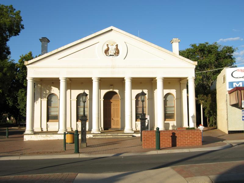 Commercial centre and shops - Former Shire Hall, corner Grant St and Perkins St
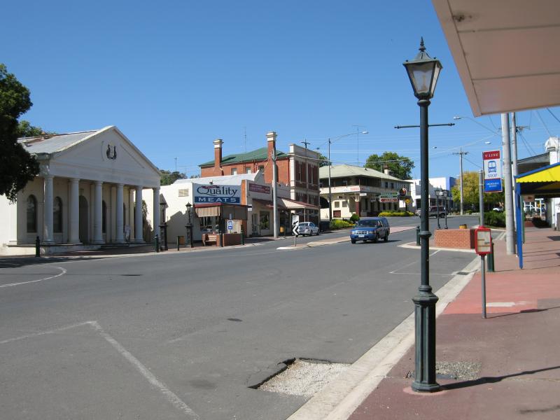
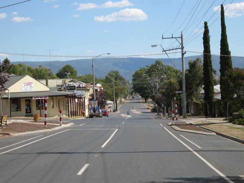
 Commercial centre and shops - View south along Grant St towards Perkins St
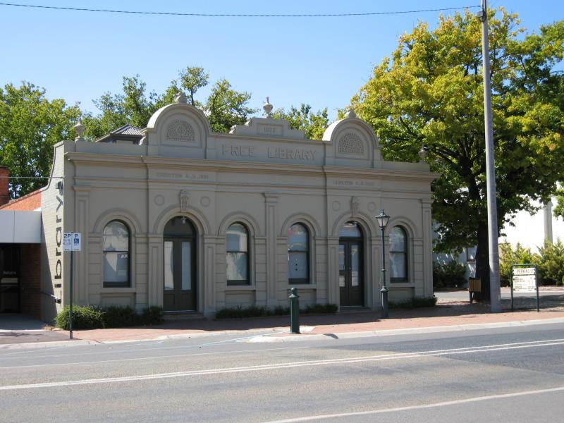 Commercial centre and shops - Library, corner Grant St and Perkins St
 Commercial centre and shops - View south along Grant St at Ultima Thule Creek
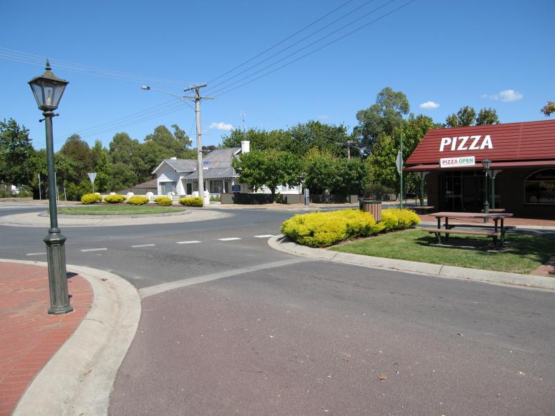
 Commercial centre and shops - View south along Grant St at Vickery St
 Commercial centre and shops - View west along Downey St towards Webster St
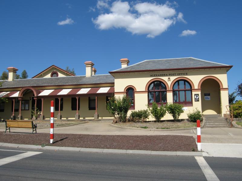 Commercial centre and shops - Alexandra Post Office, corner Downey St and Webster St
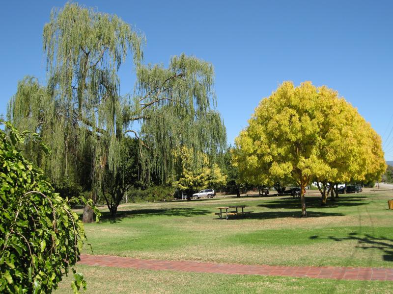 Rotary Park, corner Grant Street and Vickery Street - Parkland facing Vickery St
 Rotary Park, corner Grant Street and Vickery Street - Picnic shelter
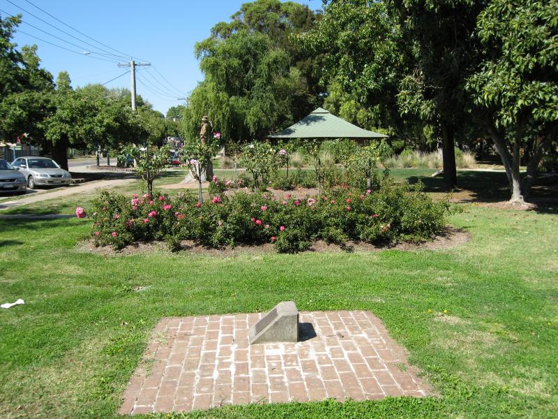 Rotary Park, corner Grant Street and Vickery Street - Rose garden fronting Grant St
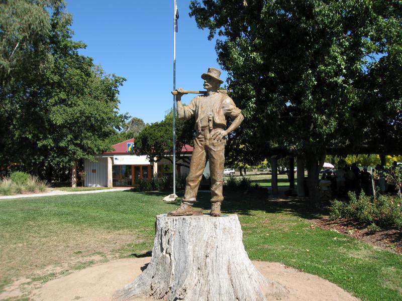 Rotary Park, corner Grant Street and Vickery Street - Woodcutter statue fronting Grant St
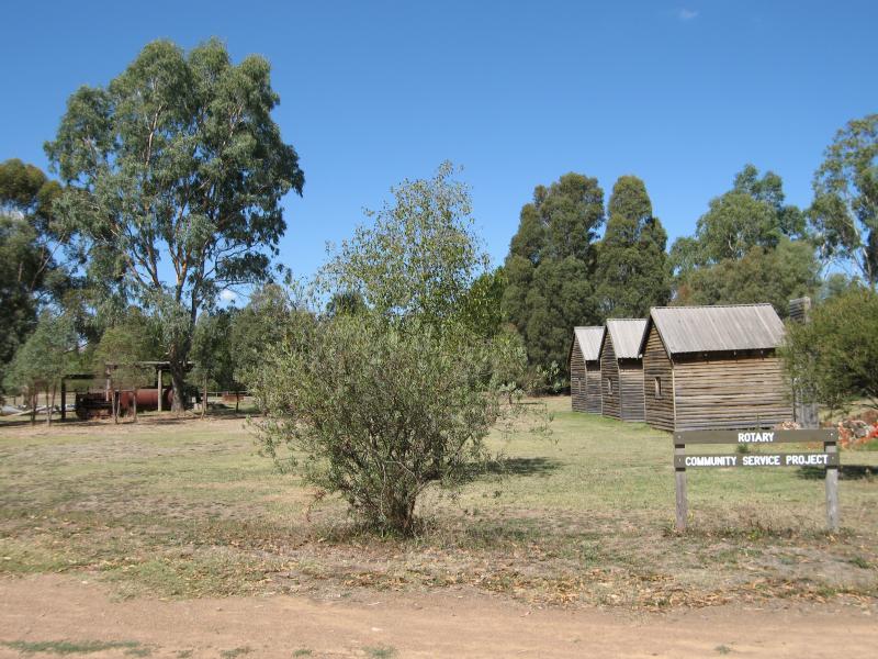
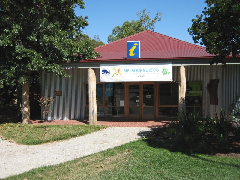 Rotary Park, corner Grant Street and Vickery Street - Visitor Information Centre
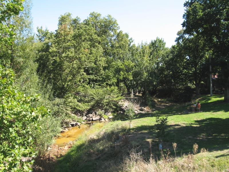 Rotary Park, corner Grant Street and Vickery Street - Creek through park
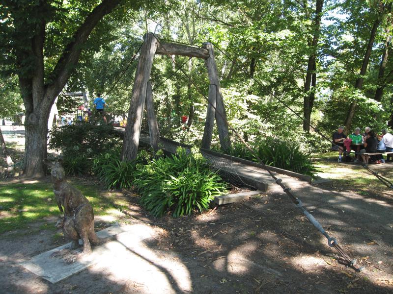 Rotary Park, corner Grant Street and Vickery Street - Suspension bridge over creek
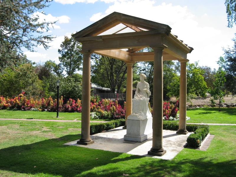 Jack Shiels Gardens, Perkins Street - Statue
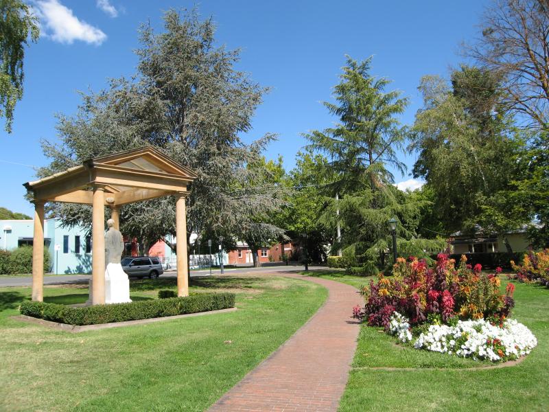
 Jack Shiels Gardens, Perkins Street - View through gardens towards Perkins St
 Jack Shiels Gardens, Perkins Street - Pathway through gardens
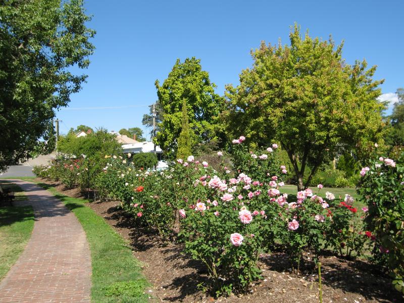 Jack Shiels Gardens, Perkins Street - George Braden Memorial Rose Gardens
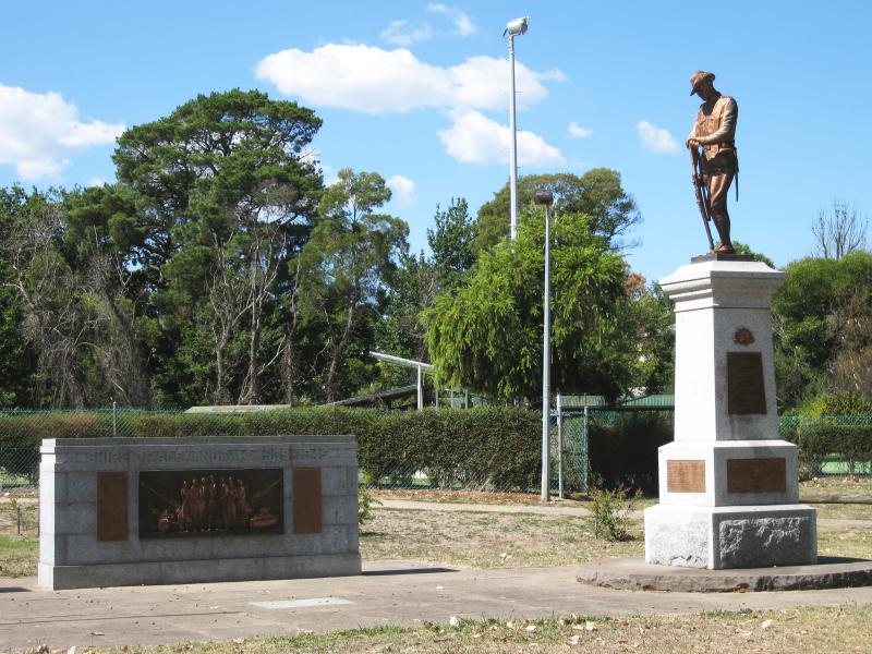 Leckie Park, Vickery Street - War memorial next to bowls club
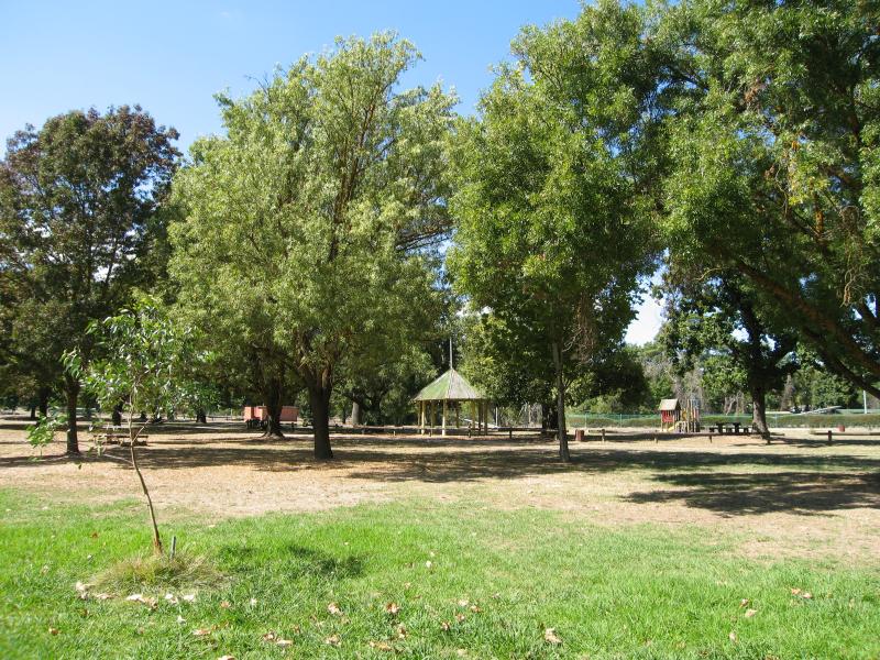 Leckie Park, Vickery Street - View through park
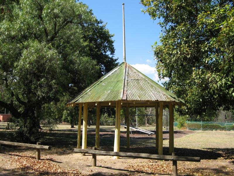 Leckie Park, Vickery Street - Rotunda near playground
 Leckie Park, Vickery Street - Oval
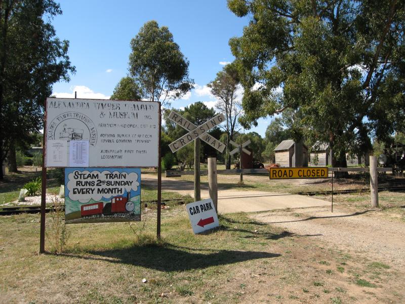 Timber Tramway and Museum, Station Street - Entrance at Station St
 Timber Tramway and Museum, Station Street - Former railway station building
 Timber Tramway and Museum, Station Street - Old logging equipment
 Timber Tramway and Museum, Station Street - Logging equipment displays
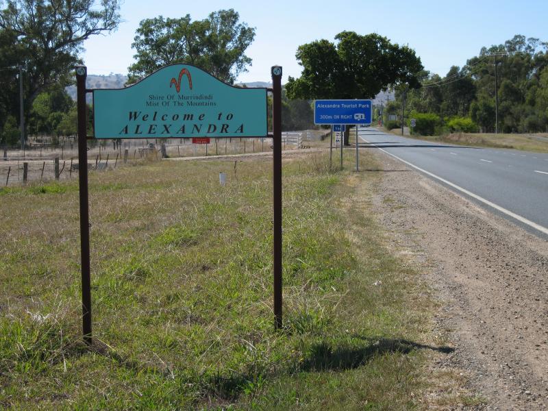 Around Alexandra - Alexandra town sign, view east along Maroondah Hwy near Gridwood Ct
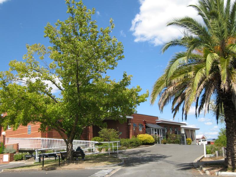
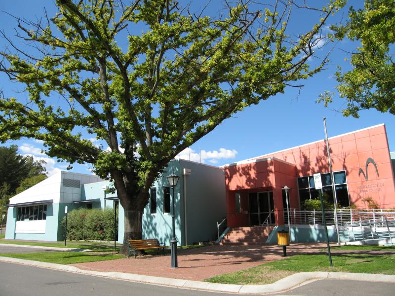 Around Alexandra - Council Offices, corner Perkins St and Webster St
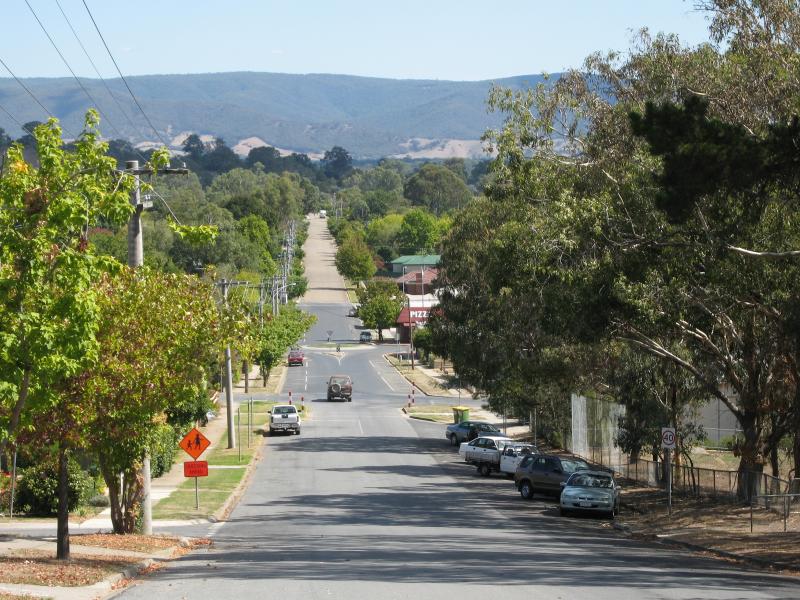
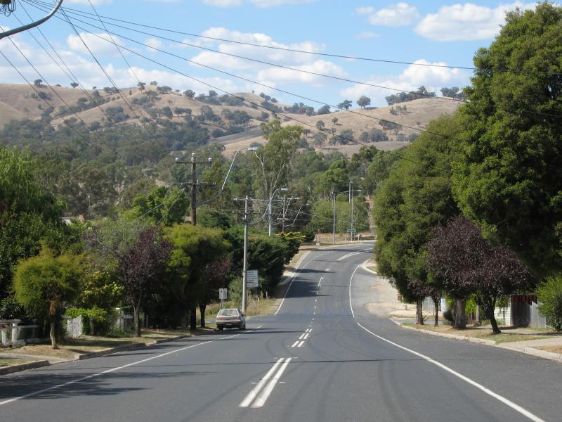
 Around Alexandra - View east along Nihil St at Grant St
 Around Alexandra - View west along Nihil St from Myrtle St
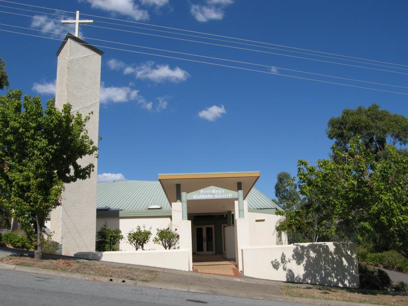 Around Alexandra - St Marys Catholic Church, corner of Nihil St and Myrtle St
 Around Alexandra - Alexandra District Hospital, corner Myrtle St and Cooper St
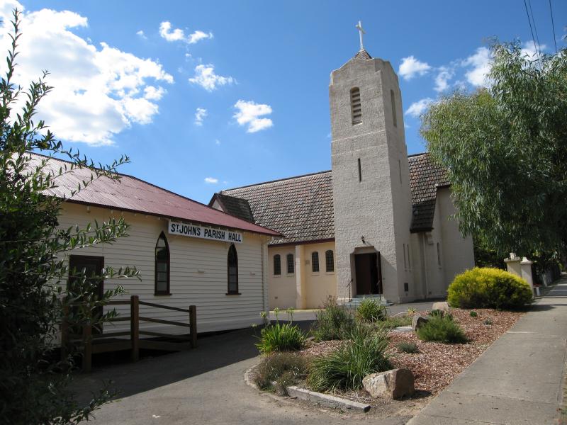 Around Alexandra - St Johns Anglican Church and Parish Hall, corner Downey St and Villeneuve St
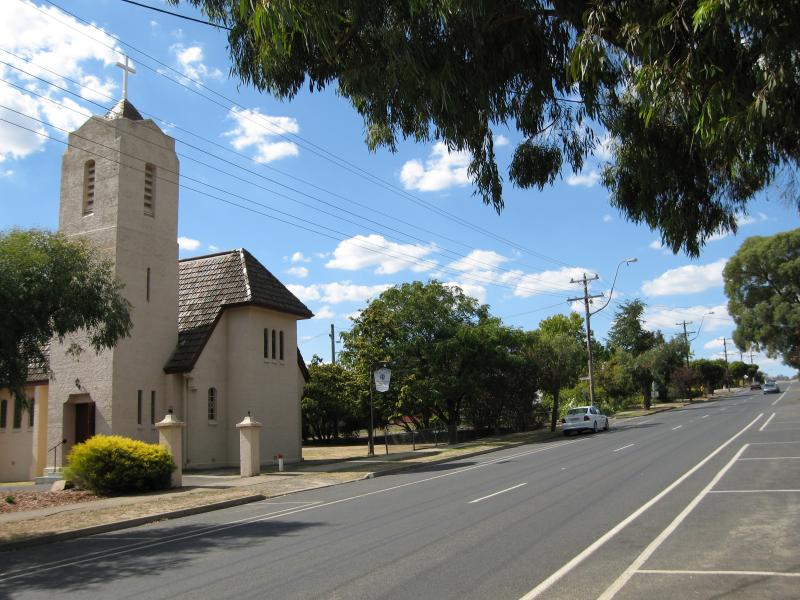 Around Alexandra - View east along Downey St towards St Johns Church and Villeneuve St
 Around Alexandra - View east along Downey St towards George St
 Mount Pleasant Road - View north along Mt Pleasant Rd at McKenzie Flora Reserve
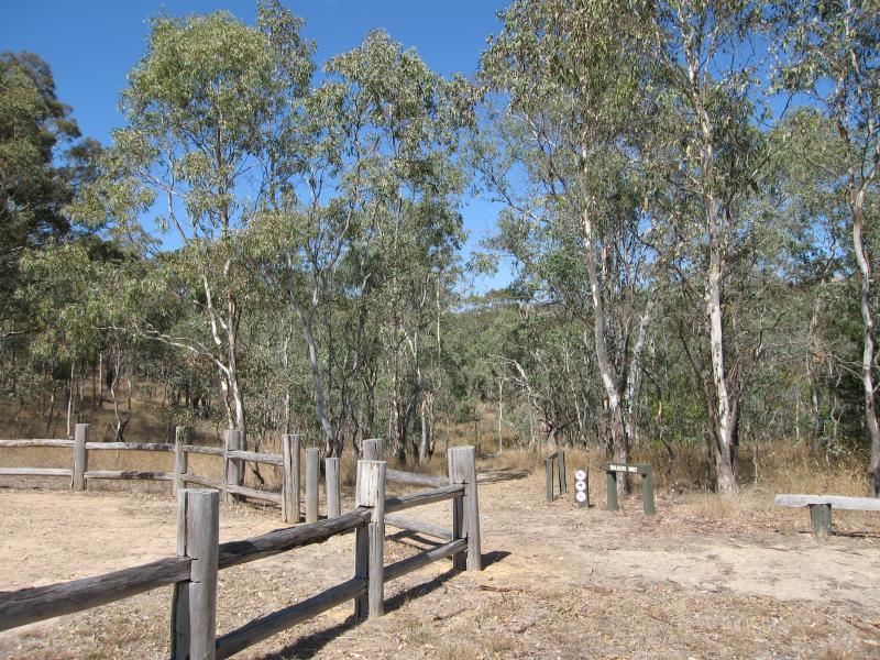 Mount Pleasant Road - Walking tracks at McKenzie Flora Reserve
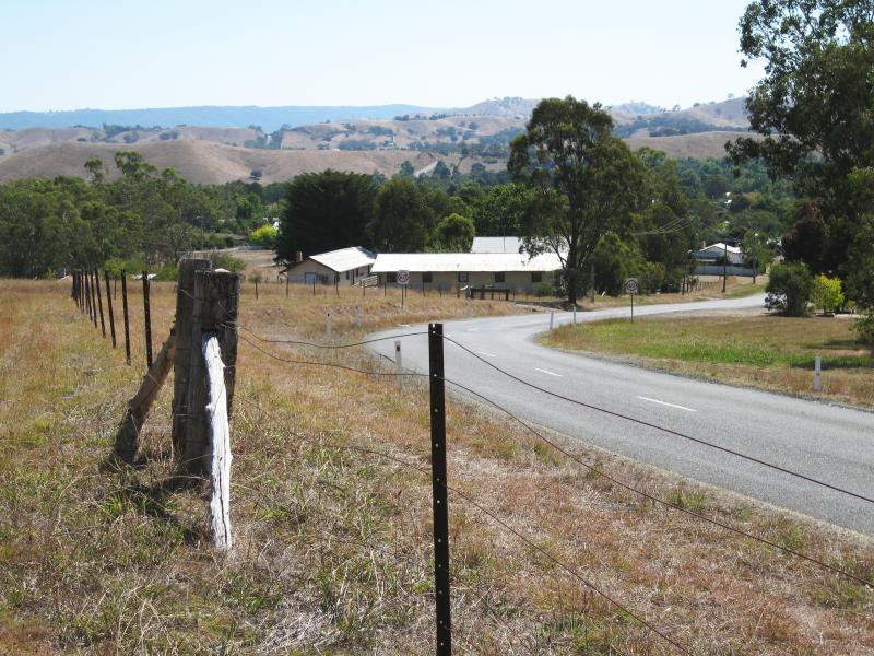
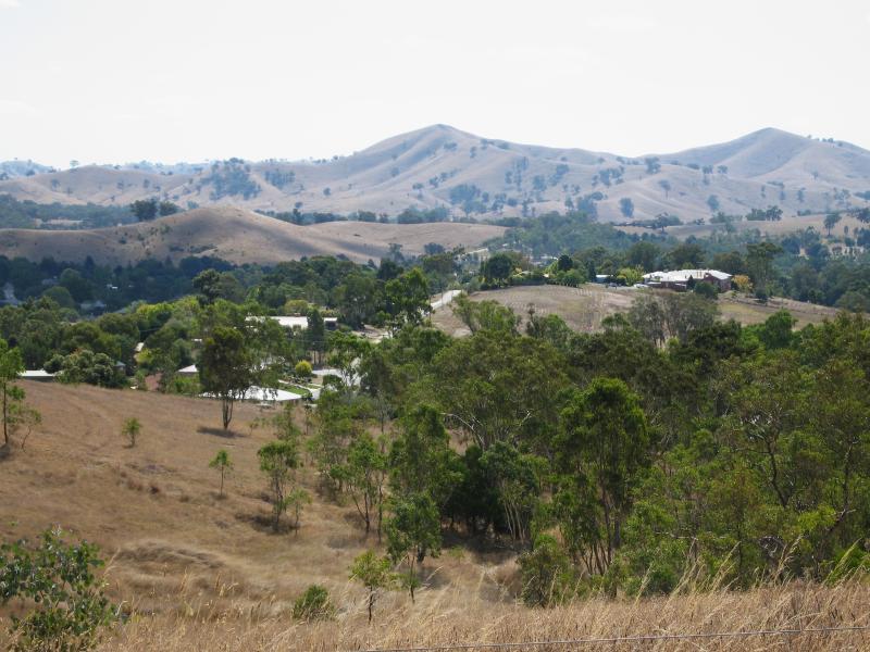
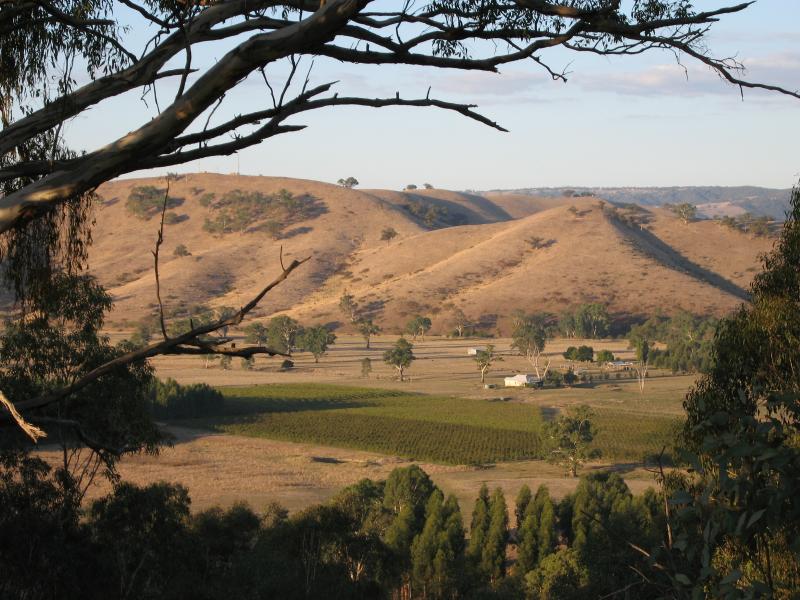
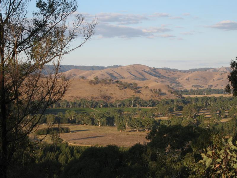
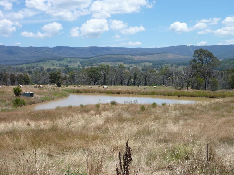
 Mount Pleasant Road - South-easterly views, south of town
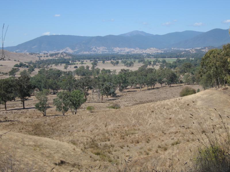 Mount Pleasant Road - South-easterly views, south of town
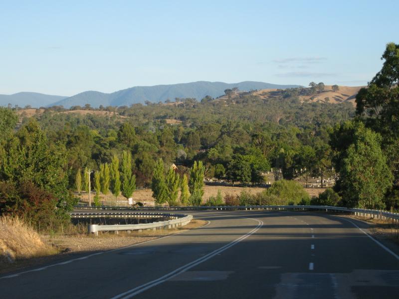
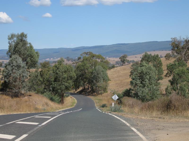 Mount Pleasant Road - View south-west along Hobans Rd at Mt Pleasant Rd
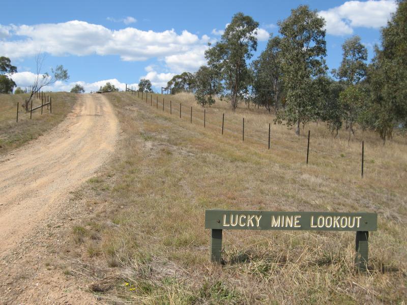 Lucky Mine Lookout, off Mount Pleasant Road - Access road to lookout
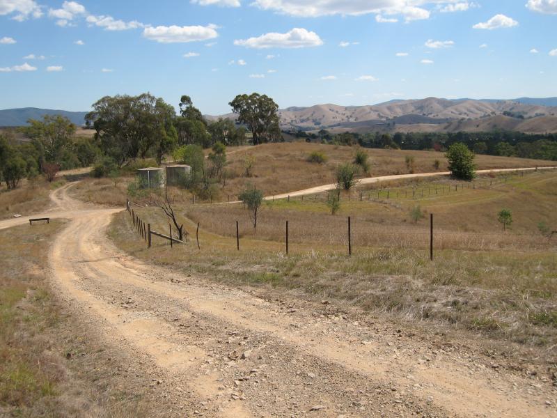 Lucky Mine Lookout, off Mount Pleasant Road - View back along access road from lookout
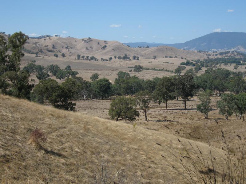
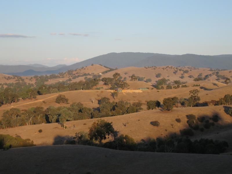
 Lucky Mine Lookout, off Mount Pleasant Road - View north-west
 Lucky Mine Lookout, off Mount Pleasant Road - View north towards Alexandra town centre
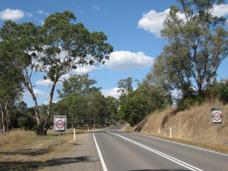 Goulburn Valley Highway east of Alexandra - View east along Goulburn Valley Hwy, west of UT Creek Rd
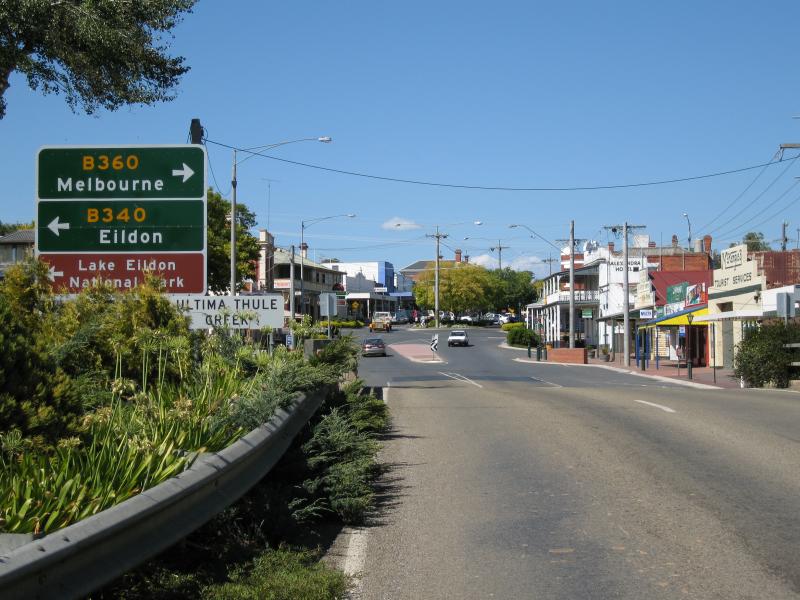
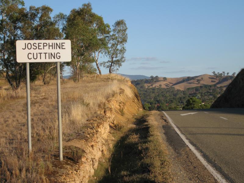
 Josephine Cutting, Maroondah Highway north-west of Alexandra - View north from Maroondah Hwy near Grant St
 Josephine Cutting, Maroondah Highway north-west of Alexandra - View south-east along Maroondah Hwy through Josephine Cutting
 Josephine Cutting, Maroondah Highway north-west of Alexandra - View south-east along Maroondah Hwy south of Josephine Cutting
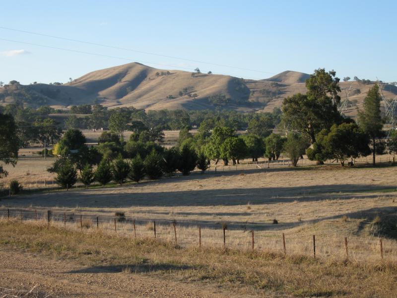
 Yarck - View south-west along Maroondah Hwy towards Maroondah Link Hwy, south of Yarck
 Acheron Cutting, Maroondah Highway south of Alexandra - View south-west across Maroondah Hwy from cutting lookout
 Acheron Cutting, Maroondah Highway south of Alexandra - View east from cutting lookout
 Acheron Cutting, Maroondah Highway south of Alexandra - View east from cutting lookout
 Acheron Cutting, Maroondah Highway south of Alexandra - Easterly view, south of Acheron Cutting
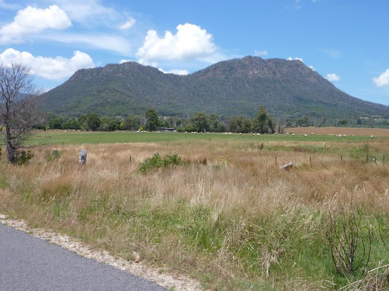
 Acheron - View south towards the Cathedral Ranges, 2 km south of Acheron
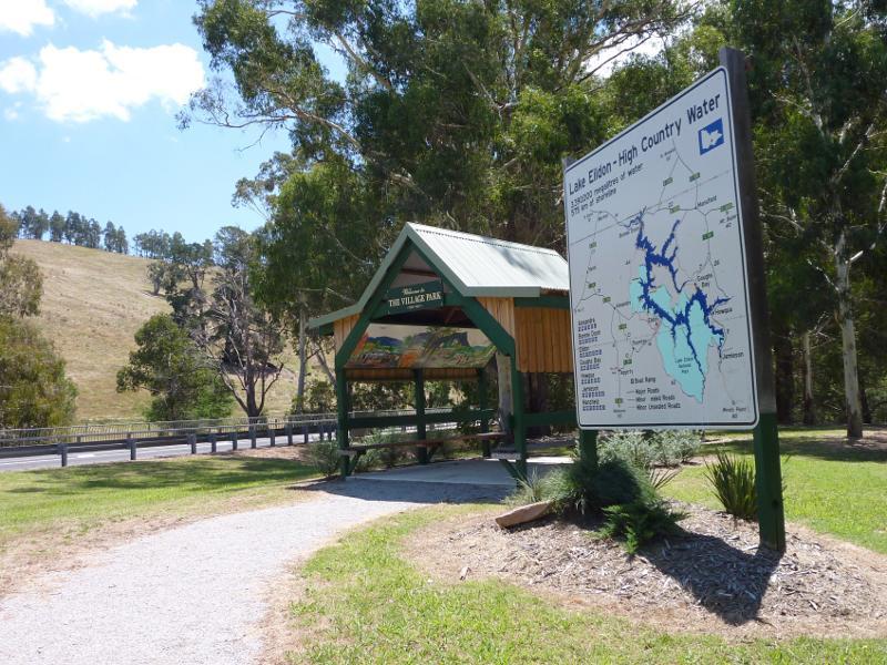 Taggerty - The Village Park, corner Maroondah Hwy and Taggerty-Thornton Rd
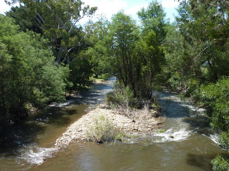
 Taggerty - View of Acheron River from The Village Park
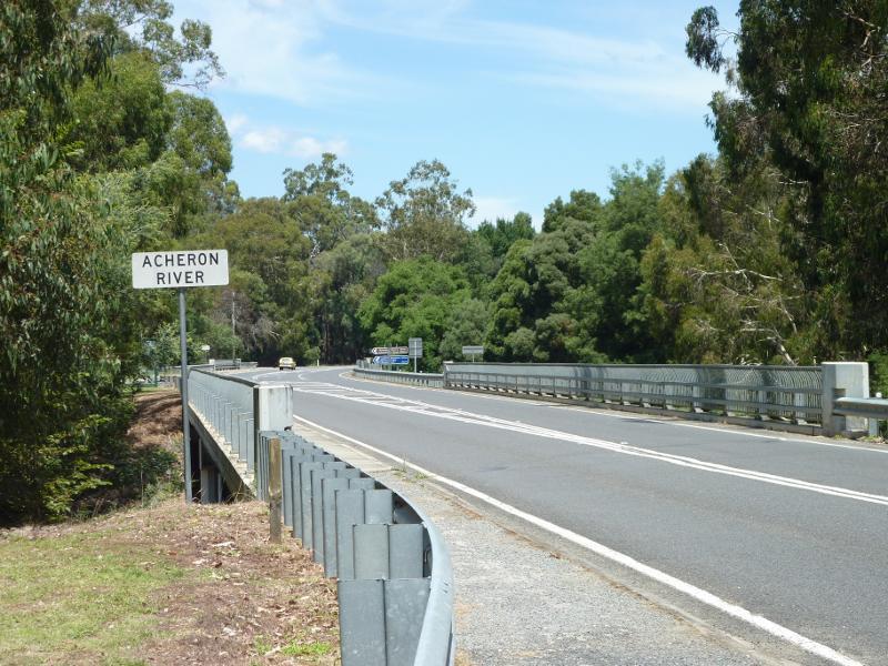 Taggerty - View south along Maroondah Hwy towards bridge over Acheron River
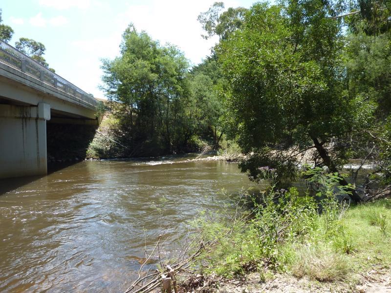
 Taggerty - View north-east along Acheron River from Maroondah Hwy bridge
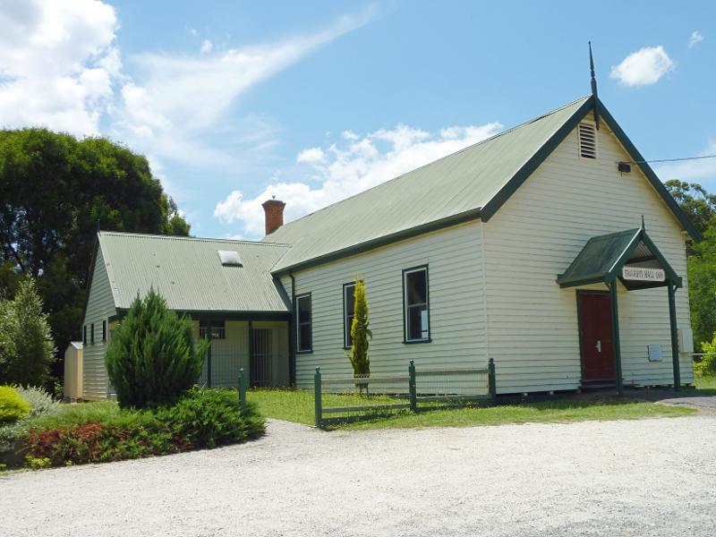 Taggerty - Taggerty Hall, Taggerty-Thornton Rd
 Cathedral Range and surroundings, south of Taggerty - View east along Cathedral La, east of Maroondah Hwy
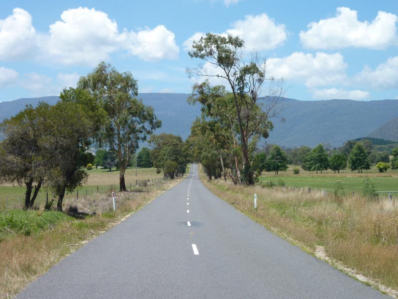
 Cathedral Range and surroundings, south of Taggerty - View south-east towards Cathedral Range from Cathedral La
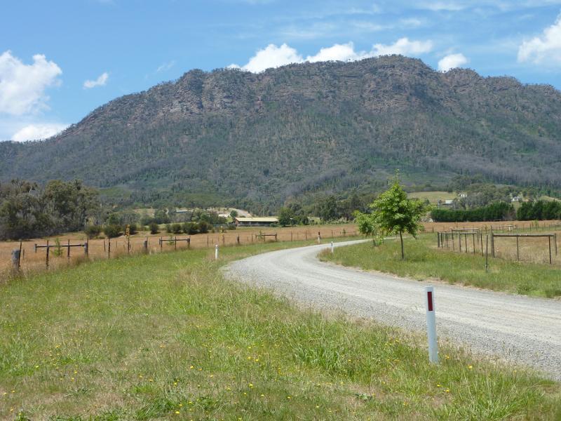
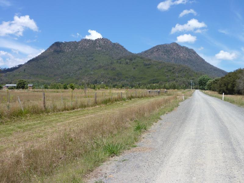 Cathedral Range and surroundings, south of Taggerty - View south along Acacia La towards Cathedral Range
 Cathedral Range and surroundings, south of Taggerty - Easterly view towards Cathedral Range from Clearview Ct
 Cathedral Range and surroundings, south of Taggerty - Westerly view from Maroondah Hwy at Clearview Ct