Avoca - photos
Avoca
Stay
See and do
Food and drink
Shopping
Getting around
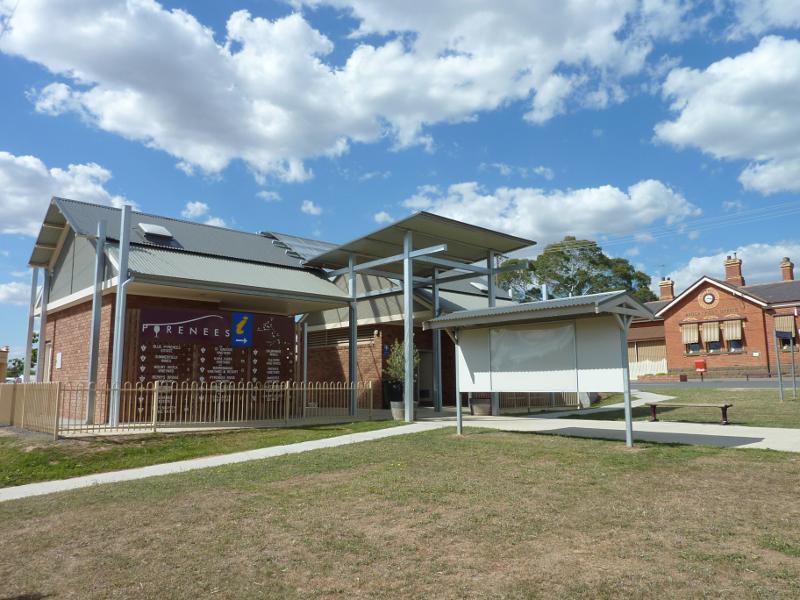
Visitor information
 Shops and commercial centre, High Street - View south along High St, just south of Bridport St
 Shops and commercial centre, High Street - View south along High St towards Bridport St
 Shops and commercial centre, High Street - View south along centre of High St towards Bridport St
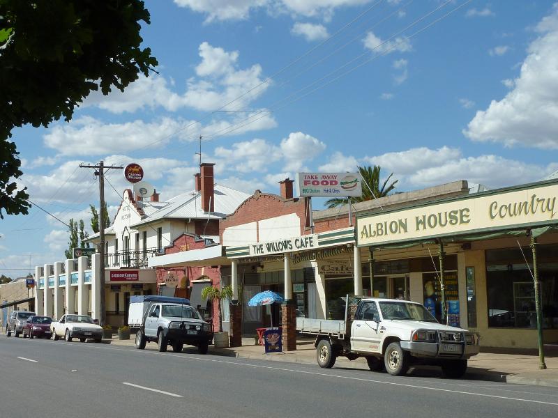
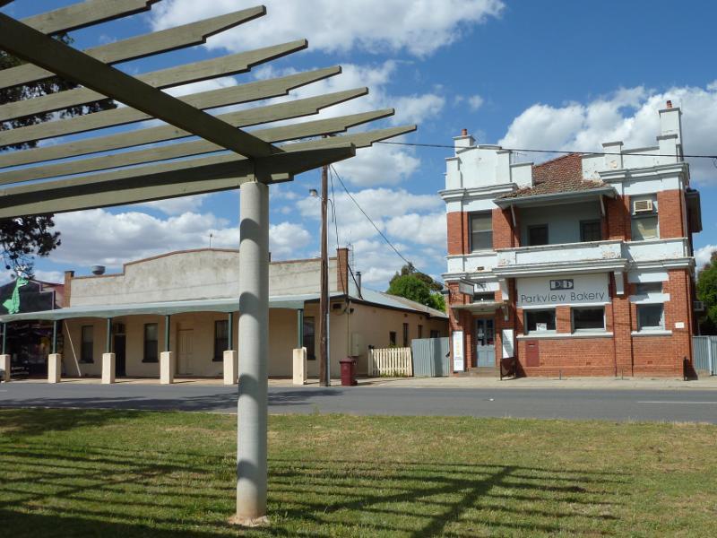 Shops and commercial centre, High Street - View east across High St towards Parkview Bakery
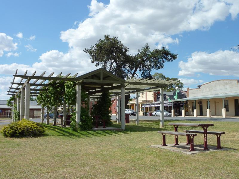 Shops and commercial centre, High Street - View north along High St towards BBQ shelter between Bridport St and Cambridge St
 Shops and commercial centre, High Street - View south along western side of High St between Cambridge St and Bridport St
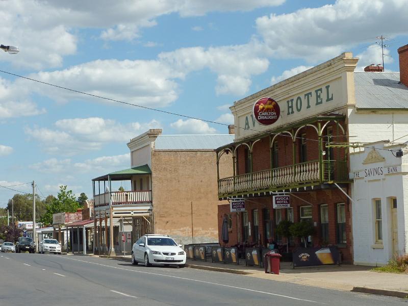
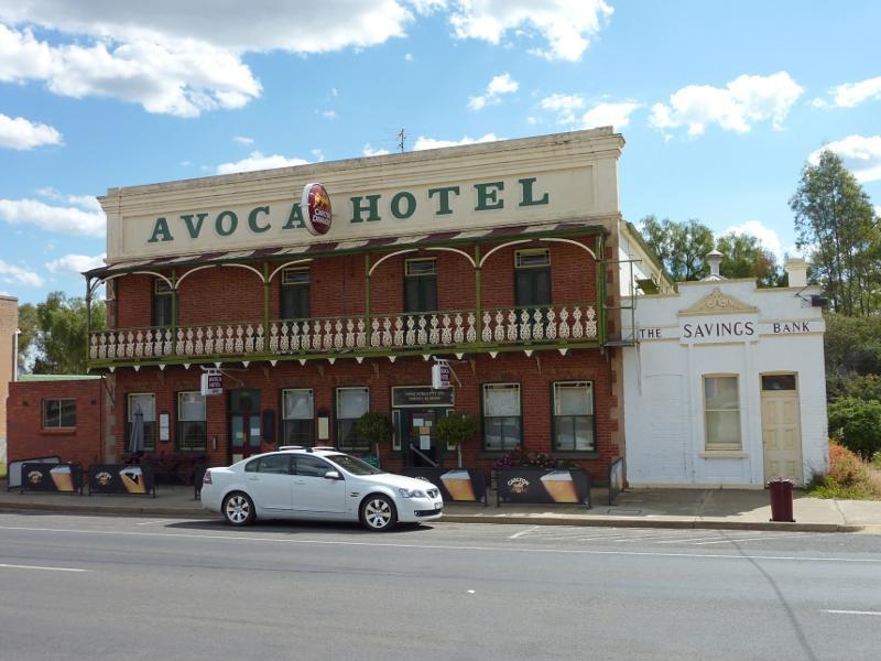 Shops and commercial centre, High Street - Avoca Hotel and old bank, western side of High St
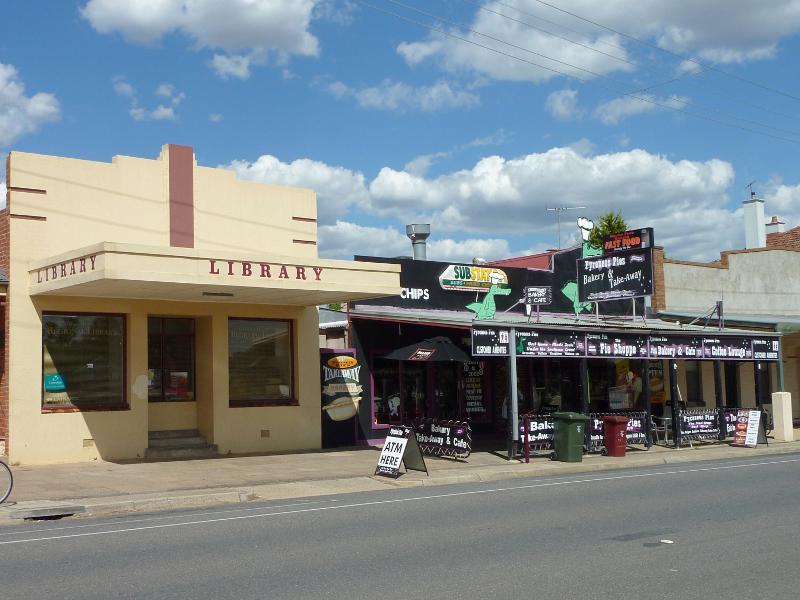 Shops and commercial centre, High Street - Library and shops and eastern side of High St between Cambridge St and Bridport St
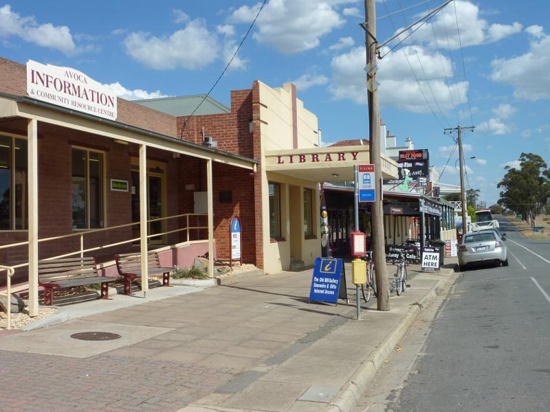 Shops and commercial centre, High Street - View south along High St at information centre and library
 Shops and commercial centre, High Street - Information directory and toilets in centre of High St just south of Cambridge St
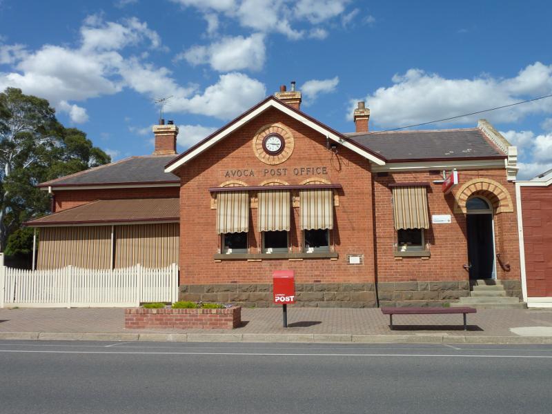 Shops and commercial centre, High Street - Avoca Post Office, corner High St and Cambridge St
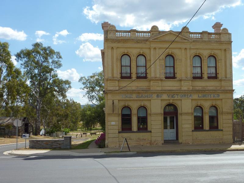 Shops and commercial centre, High Street - Old bank, view west across High St at Cambridge St
 Shops and commercial centre, High Street - View south along High St towards Cambridge St
 Shops and commercial centre, High Street - View north along eastern side of High St, north of Cambridge St
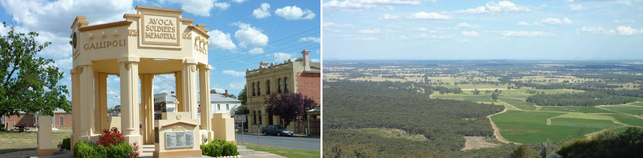
 Shops and commercial centre, High Street - Avoca Soldiers Memorial, view south along centre of High St towards Cambridge St
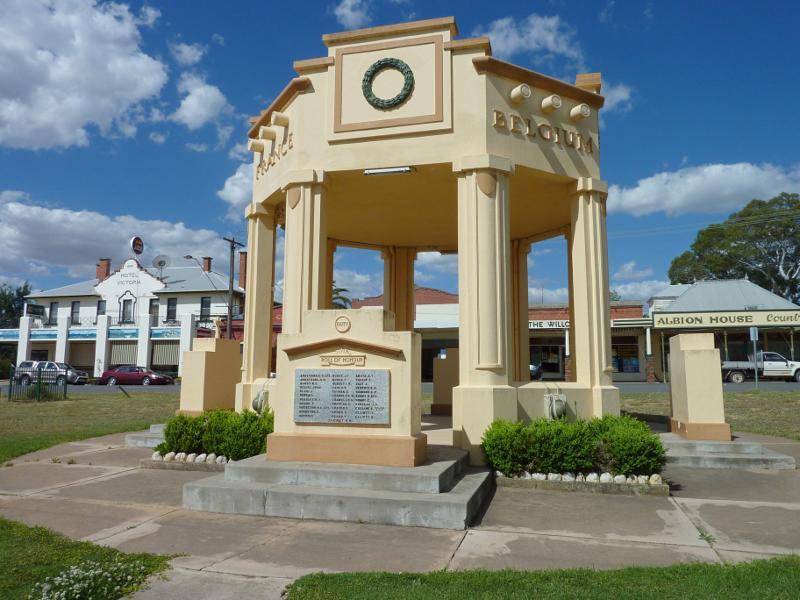 Shops and commercial centre, High Street - Avoca Soldiers Memorial, view east across High St, north of Cambridge St
 Shops and commercial centre, High Street - View south along centre of High St towards Avoca Soldiers Memorial
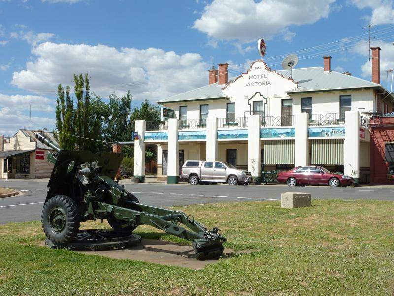 Shops and commercial centre, High Street - Hotel Victoria, east side of High St between Cambridge St and Russell St
 Shops and commercial centre, High Street - View south along High St between Duke St and Russell St
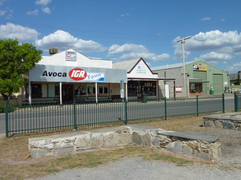 Shops and commercial centre, High Street - Supermarket, view east across High St just south of Duke St
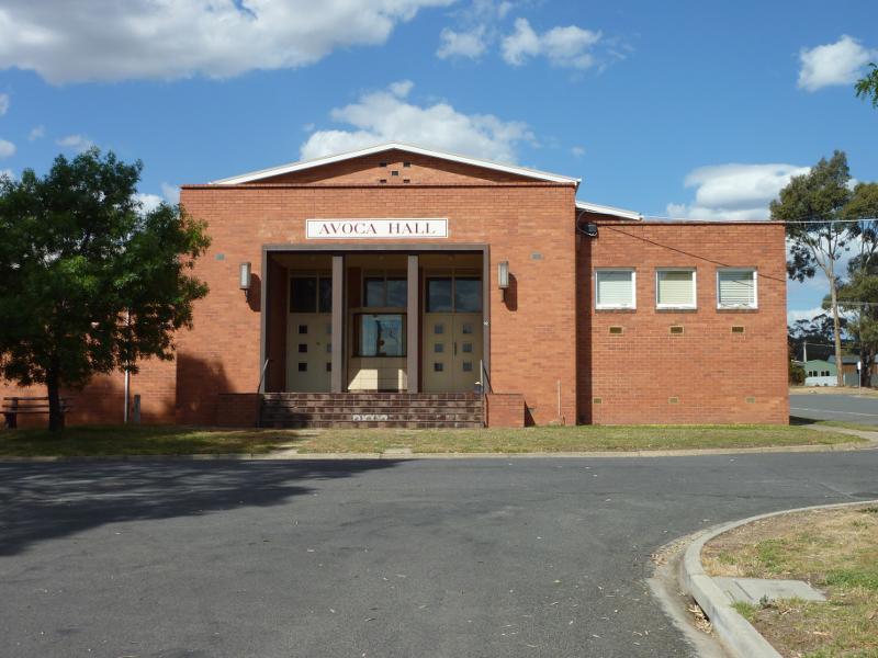 Around Avoca - Avoca Hall, Cambridge St at Rutherford St
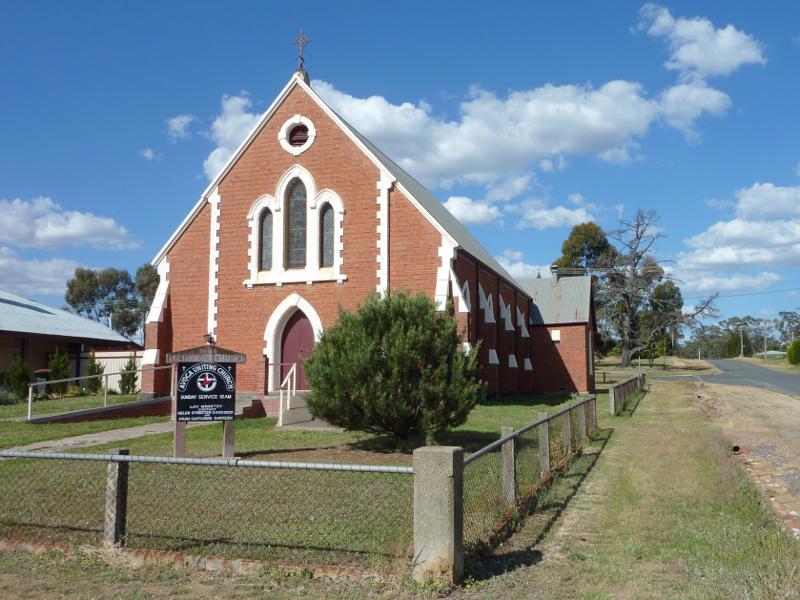 Around Avoca - Avoca Uniting Church, corner Russell St and Rutherford St
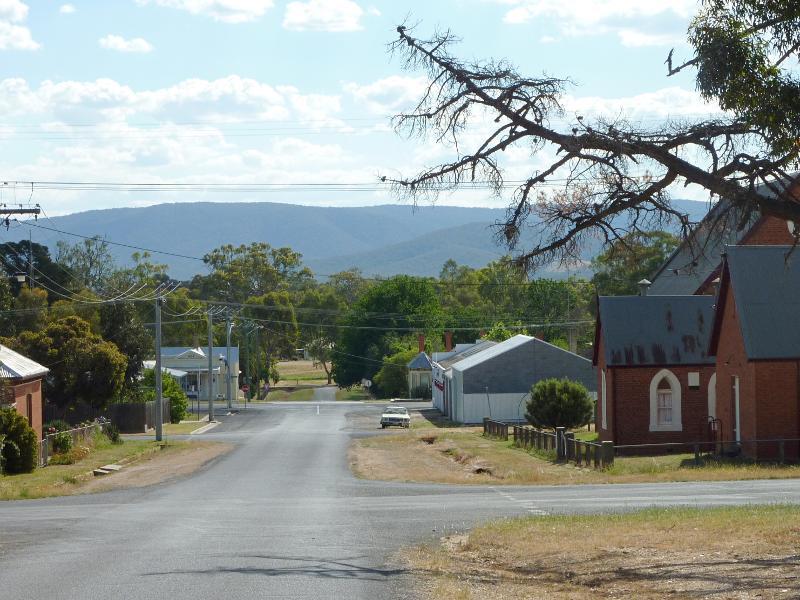 Around Avoca - View west along Russell St towards Barnett St
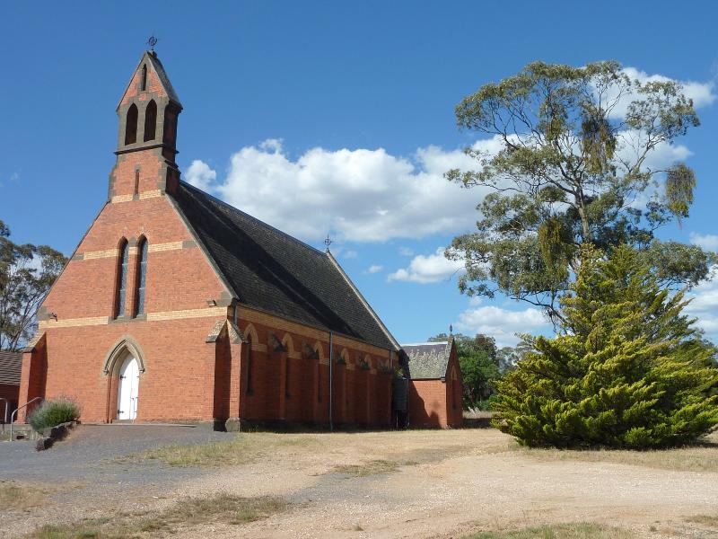 Around Avoca - Anglican Church, corner Barnett St and Russell St
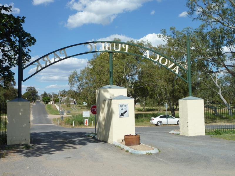 Avoca Public Park, Faraday Street - View east from entrance to park towards Duke St and Avoca River
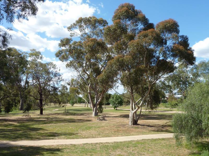
 Avoca Public Park, Faraday Street - View across oval towards pavillion
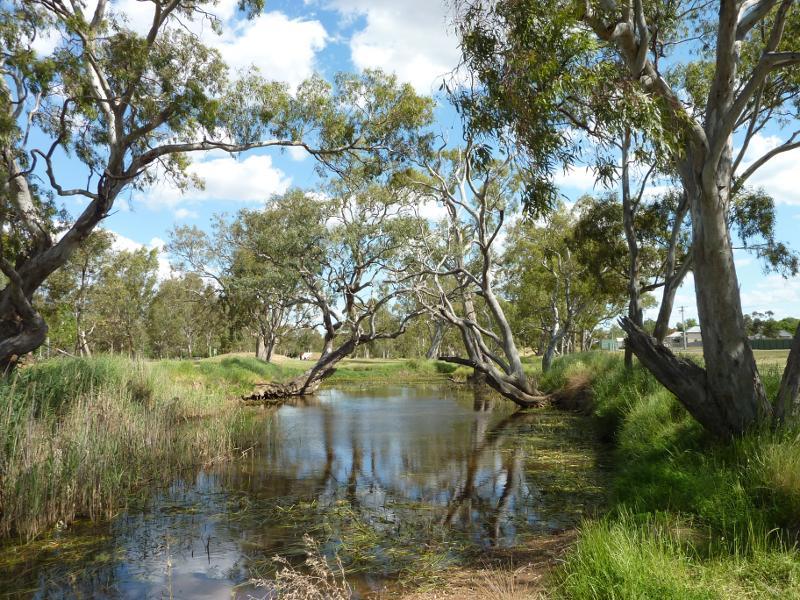 Avoca River and surrounding parkland between Pyrenees Highway and Duke St - View south along Avoca River at Duke St
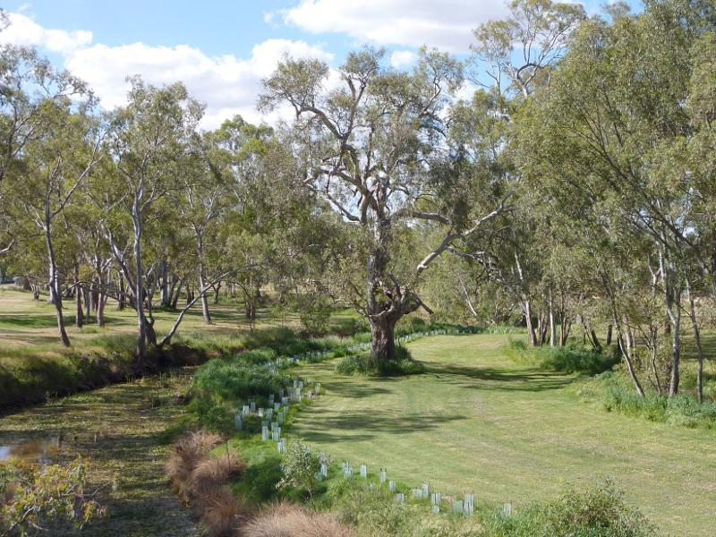
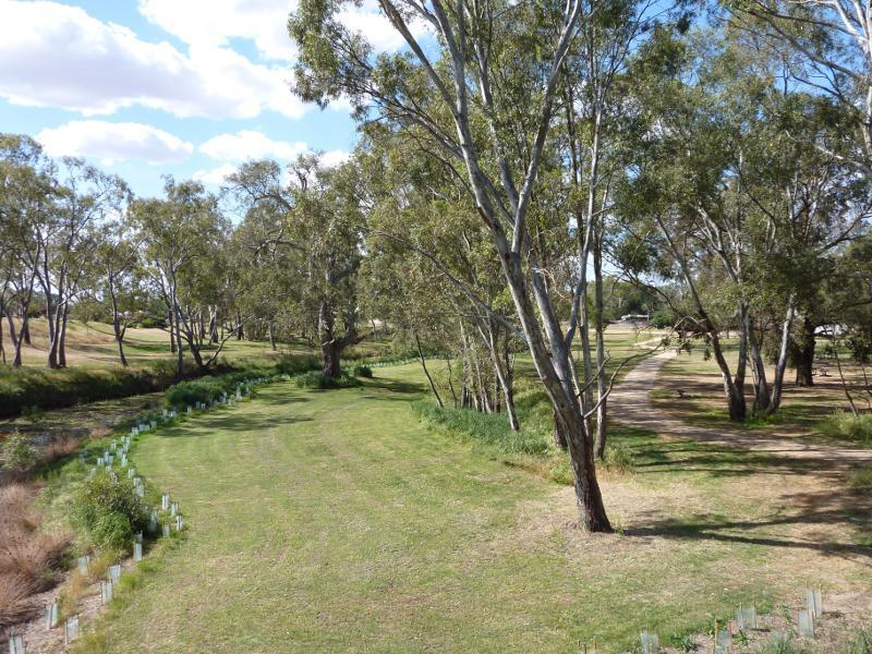
 Avoca River and surrounding parkland between Pyrenees Highway and Duke St - View north along river and parkland, Faraday St north of Pyrenees Hwy
 Avoca River and surrounding parkland between Pyrenees Highway and Duke St - View east towards Pyrenees Hwy bridge over Avoca River from Faraday St
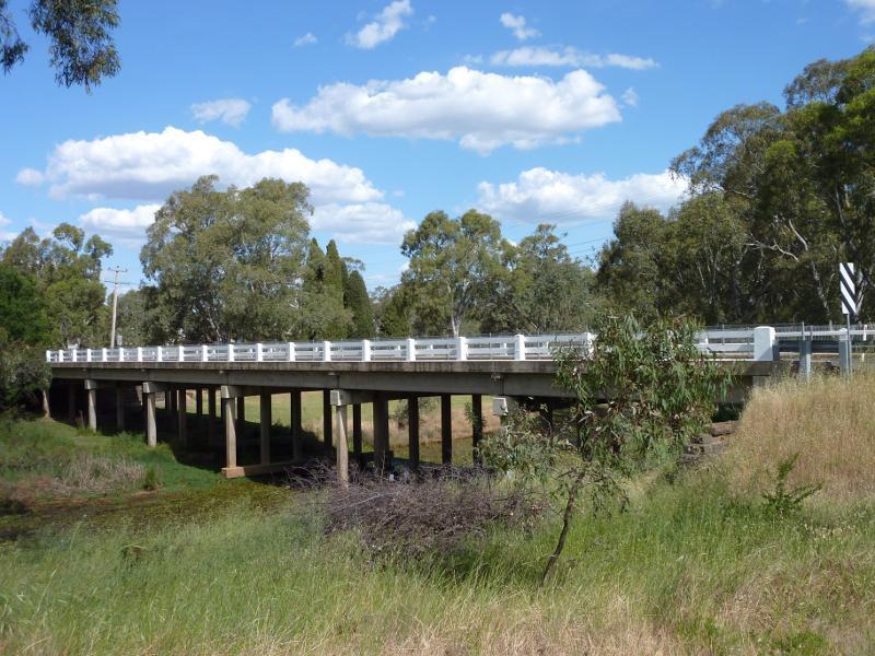
 Avoca River and surrounding parkland between Pyrenees Highway and Duke St - View east along Pyrenees Hwy towards bridge over Avoca River
 Avoca River and surrounding parkland between Pyrenees Highway and Duke St - View north along Avoca River from Pyrenees Hwy bridge
 Avoca River and surrounding parkland between Pyrenees Highway and Duke St - View north along Avoca River and parkland from Pyrenees Hwy bridge
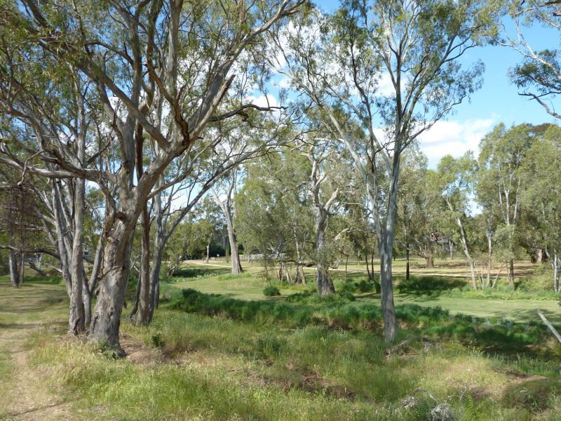
 Avoca River and surrounding parkland between Pyrenees Highway and Duke St - View north through parkland between Avoca River and Dundas St
 Avoca River and surrounding parkland between Pyrenees Highway and Duke St - View north along Dundas St at Pyrenees Hwy
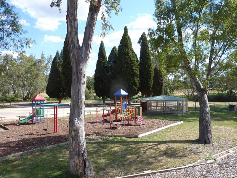
 Lions Park, Pyrenees Highway at Avoca River - View south through park towards playground
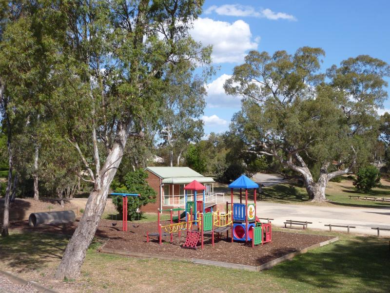
 Lions Park, Pyrenees Highway at Avoca River - Playground and shelter
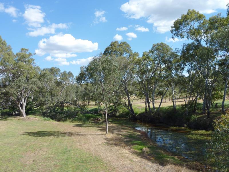 Lions Park, Pyrenees Highway at Avoca River - View south along Avoca River through the park
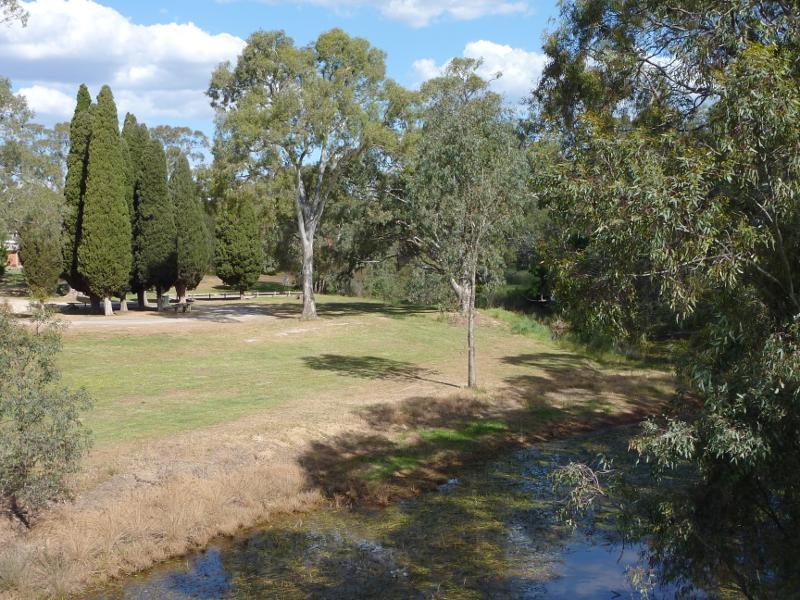 Lions Park, Pyrenees Highway at Avoca River - View towards park from bridge over Avoca River
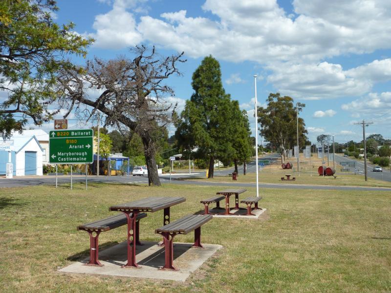
 Sunraysia Highway - View south along Sunraysia Hwy towards North St
 Sunraysia Highway - View south along Sunraysia Hwy, south of Astbury St
 Sunraysia Highway - View south-west towards Pyrenees Ranges, Sunraysia Highway 8 km north of Avoca
 Sunraysia Highway - View north along Sunraysia Highway, 21 km south of Avoca
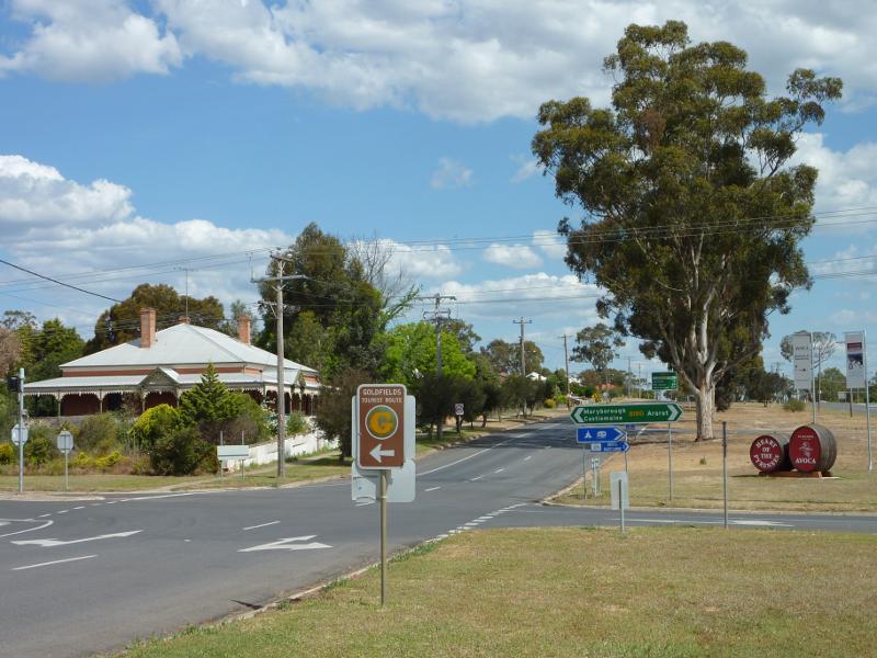
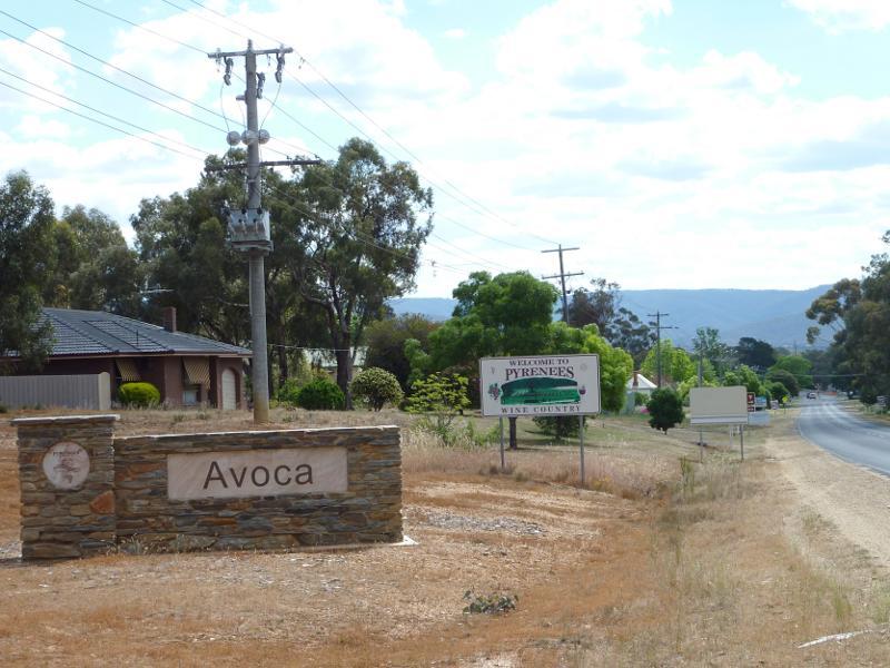 Pyrenees Highway - Town sign, view west along Pyrenees Hwy between Davy St and Charles St
 Pyrenees Highway - View west along Pyrenees Hwy towards Sunraysia Hwy
 Pyrenees Highway - View south-west along Pyrenees Hwy towards Orme St
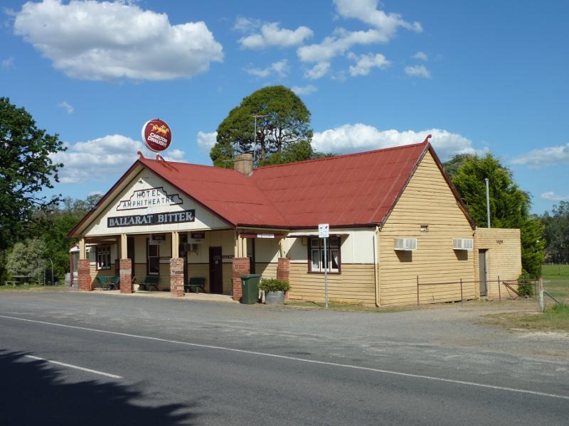 Pyrenees Highway - Hotel Amphitheatre, Pyrenees Hwy 14 km south-west of Avoca
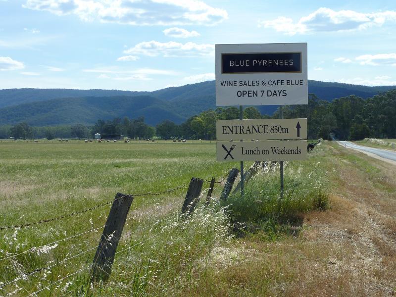 Vineyards and scenery along Vinoca Road - View west along Vinoca Rd at Old Coach Rd
 Vineyards and scenery along Vinoca Road - South-easterly view, Vinoca Rd 1 km west of Old Coach Rd
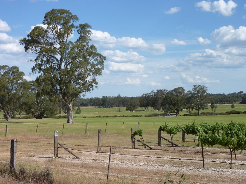
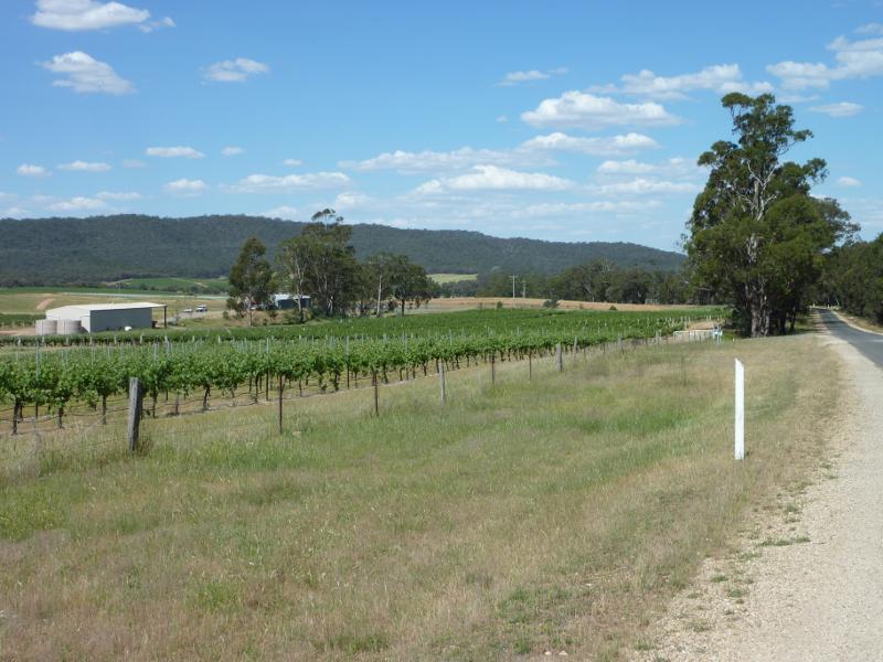
 Vineyards and scenery along Vinoca Road - Southerly view across vineyard, Vinoca Rd 1 km west of Old Coach Rd
 Vineyards and scenery along Vinoca Road - View west along Vinoca Rd 1 km west of Old Coach Rd
 Vineyards and scenery along Vinoca Road - View east along Vinoca Rd, 1.5 km west of Old Coach Rd
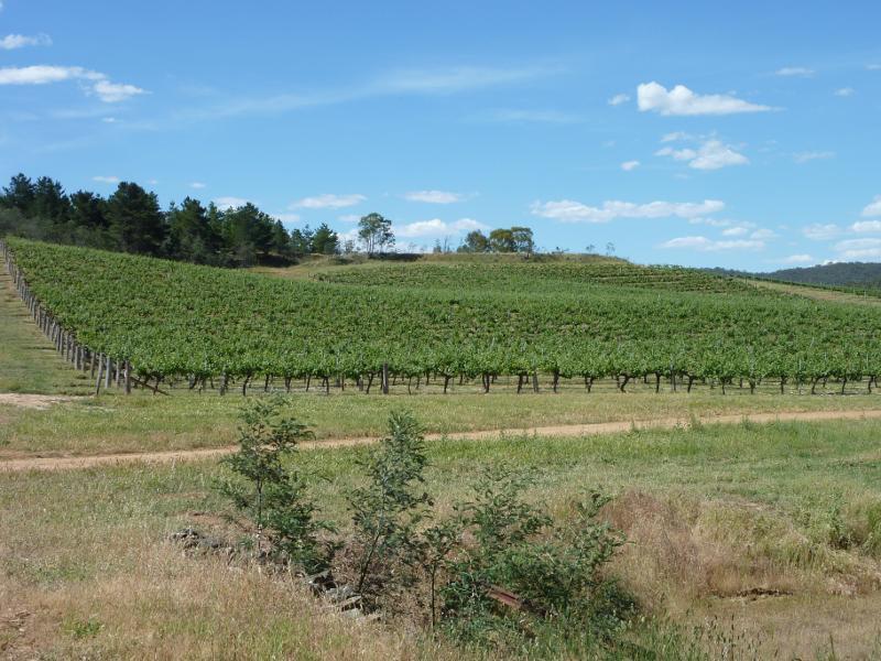
 Vineyards and scenery along Vinoca Road - South-easterly view across vineyard, Vinoca Rd 1.5 km west of Old Coach Rd
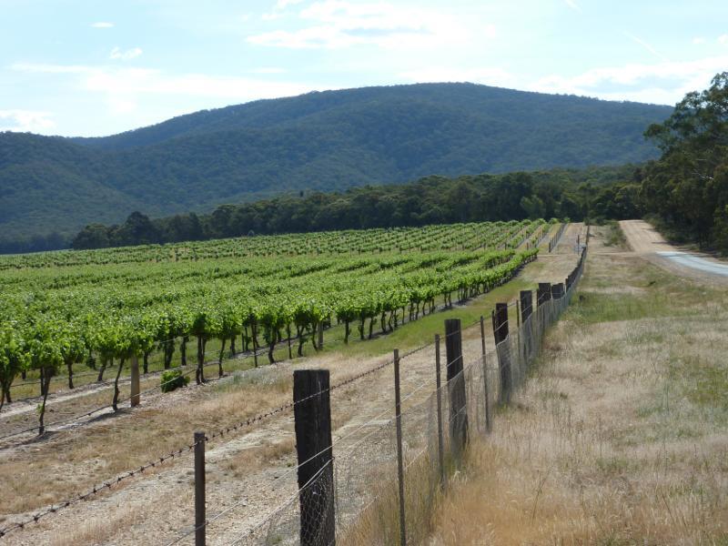
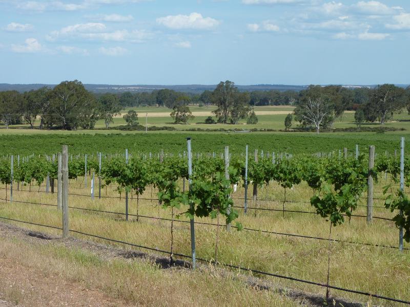
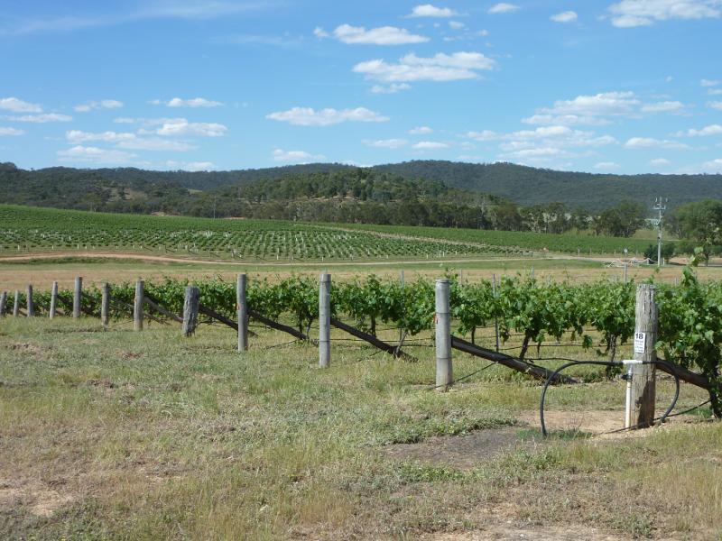
 Vineyards and scenery along Vinoca Road - Southerly view across vineyard, east of No.2 Creek Track
 Vineyards and scenery along Vinoca Road - Southerly view across vineyard, east of No.2 Creek Track
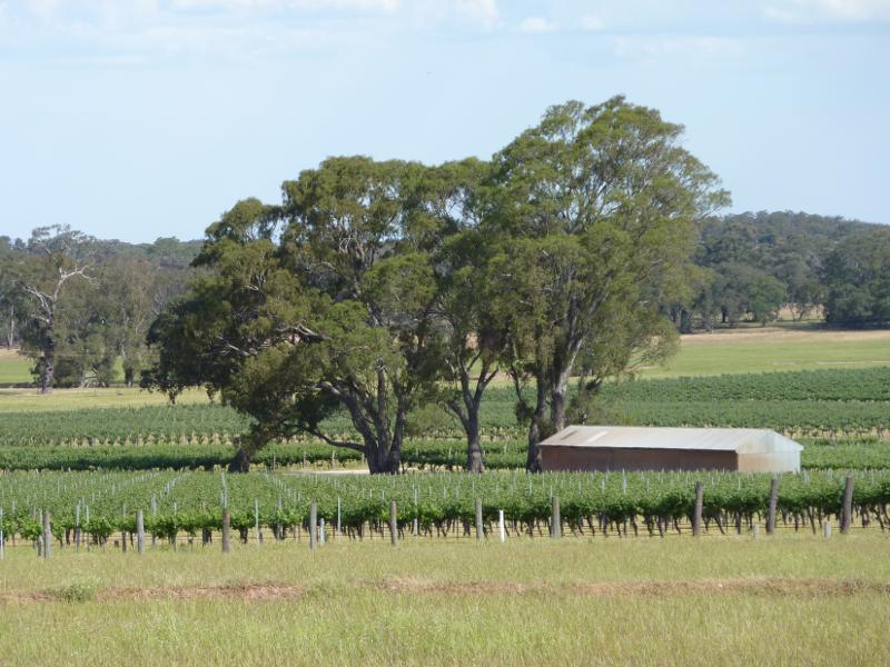
 Vineyards and scenery along Vinoca Road - Southerly view, Vinoca Rd at No.2 Creek Track
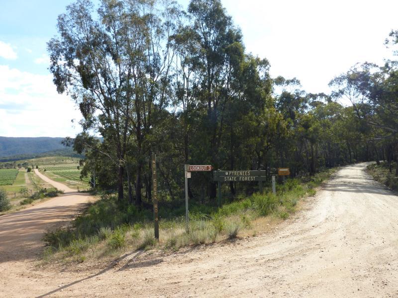
 Vineyards and scenery along Vinoca Road - View south-west along Vinoca Rd at No.2 Creek Track
 No.2 Creek Track, Pyrenees State Forest - View west along No.2 Creek Track at Vinoca Rd
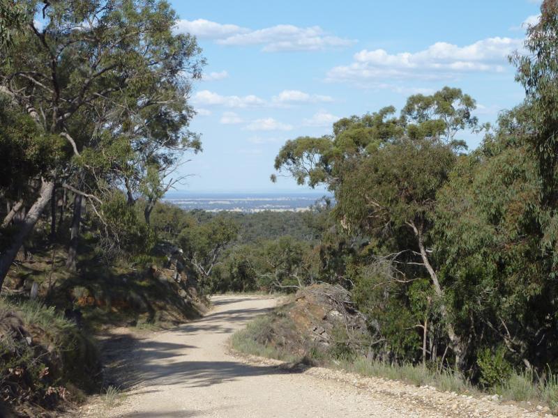 No.2 Creek Track, Pyrenees State Forest - Easterly view along No.2 Creek Track
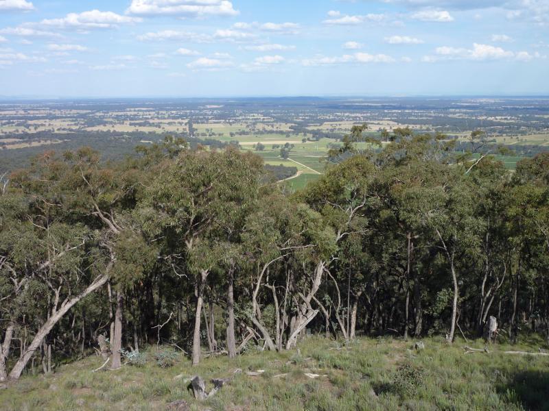
 No.2 Creek Track, Pyrenees State Forest - South-easterly view near Governor Rock lookout
 No.2 Creek Track, Pyrenees State Forest - South-easterly view near Governor Rock lookout
 No.2 Creek Track, Pyrenees State Forest - Easterly view near Governor Rock lookout
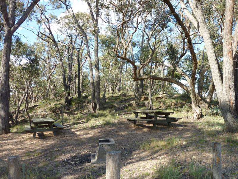 Governor Rock Lookout, No.2 Creek Track, Pyrenees State Forest - Picnic area at car park
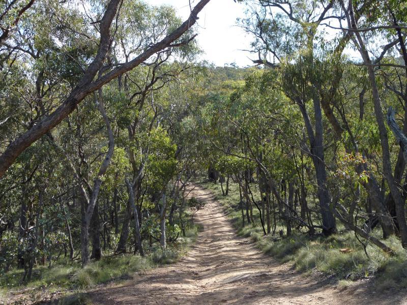 Governor Rock Lookout, No.2 Creek Track, Pyrenees State Forest - Walking track between car park and lookout
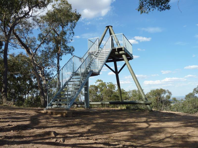 Governor Rock Lookout, No.2 Creek Track, Pyrenees State Forest - Lookout tower
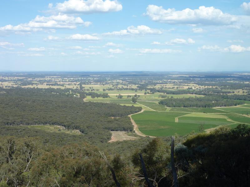
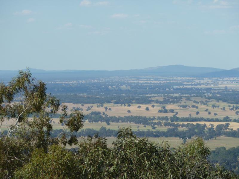
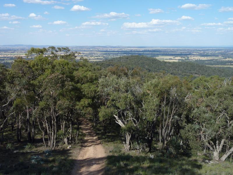 Governor Rock Lookout, No.2 Creek Track, Pyrenees State Forest - Easterly view from lookout tower
 Governor Rock Lookout, No.2 Creek Track, Pyrenees State Forest - Easterly view from lookout tower
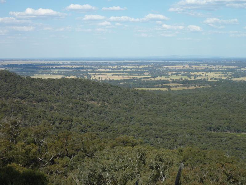
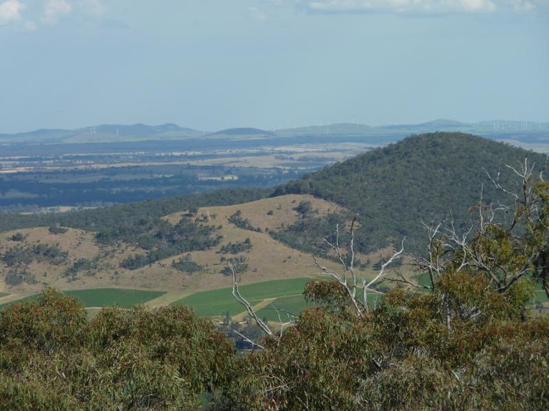
 Governor Rock Lookout, No.2 Creek Track, Pyrenees State Forest - South-easterly view from lookout tower
 Governor Rock Lookout, No.2 Creek Track, Pyrenees State Forest - South-easterly view from lookout tower
 Governor Rock Lookout, No.2 Creek Track, Pyrenees State Forest - Southerly view from lookout tower
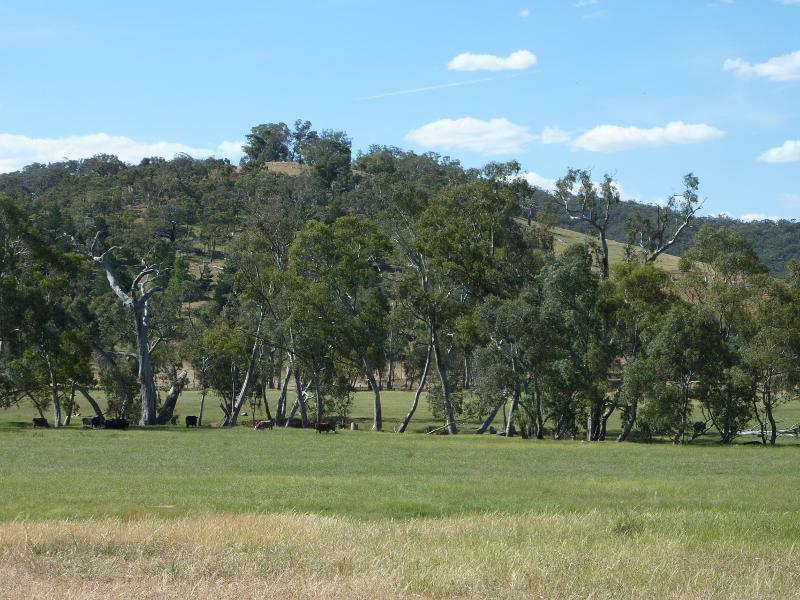 Town of Moonambel - Moonambel Road east of town centre - Northerly view, Moonambel Rd at Natte Yallock Rd
 Town of Moonambel - Moonambel Road east of town centre - View south along Glenlofty-Warrenmang Rd at Moonambel Rd
 Town of Moonambel - Moonambel Road east of town centre - South-easterly view, Moonambel Rd at Glenlofty-Warrenmang Rd
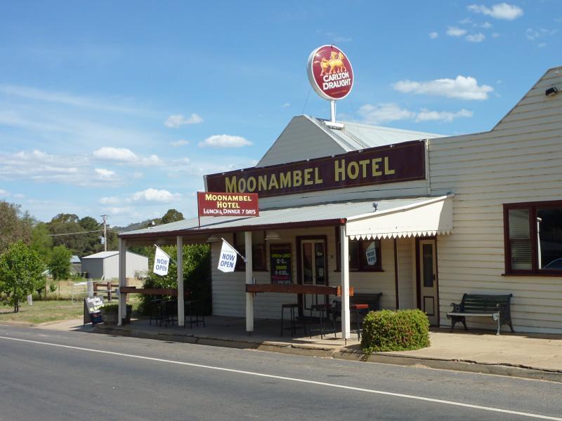 Town of Moonambel - town centre - Moonambel Hotel, corner Brooke St and Woods St
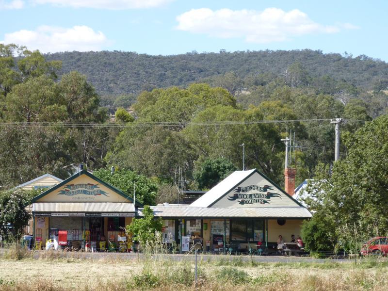 Town of Moonambel - town centre - View north across Brooke St between Woods St and Church St towards Moonambel General Store
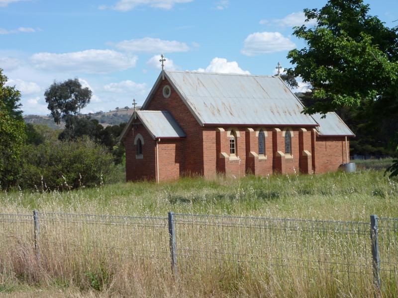 Town of Moonambel - town centre - Church, Humffray St opposite Church St
 Town of Moonambel - vineyards and scenery along Taltarni Road - View east along Moonambel Rd towards Taltarni Rd
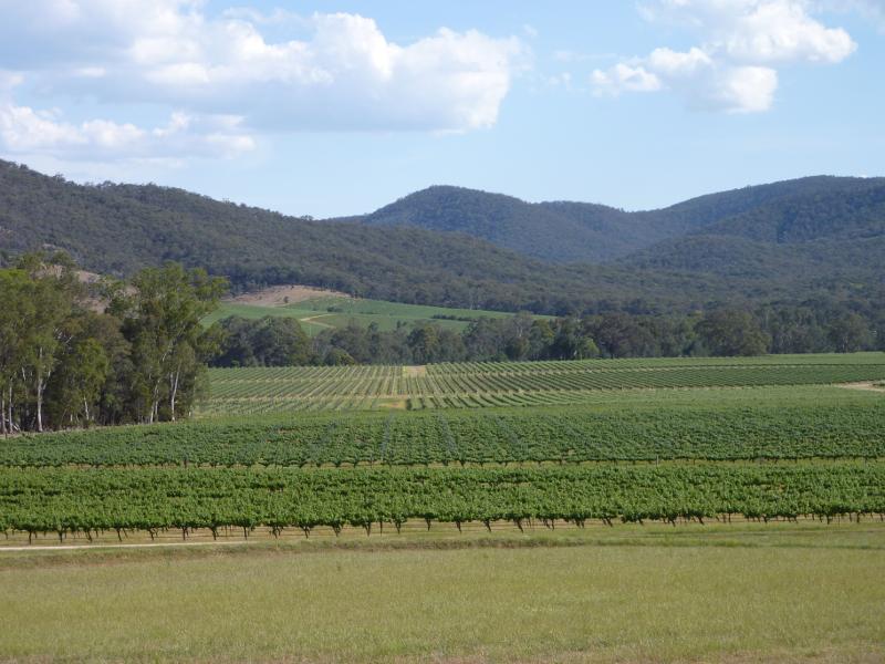
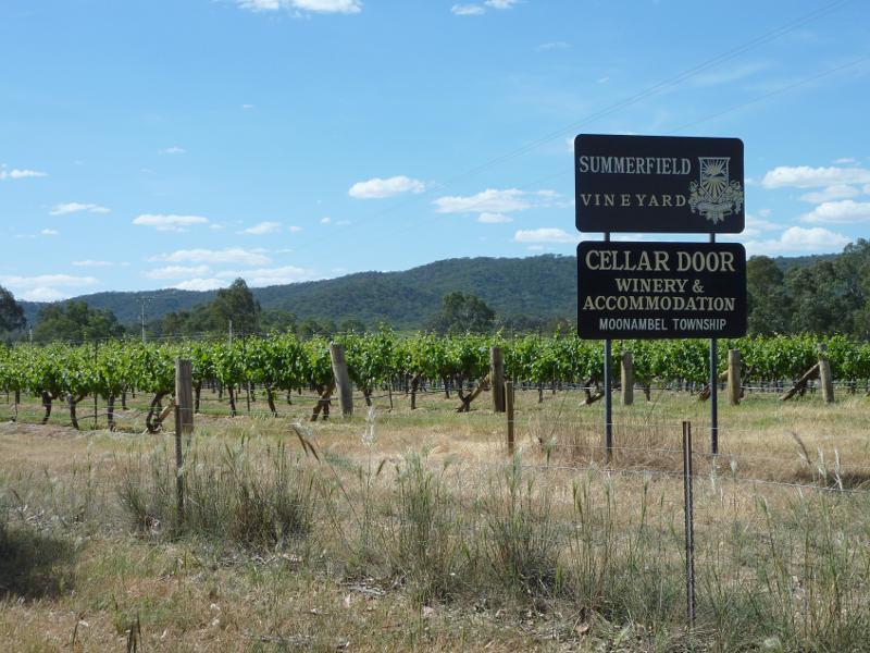 Town of Moonambel - vineyards and scenery along Taltarni Road - Summerfield vineyard, Taltarni Rd
 Town of Moonambel - vineyards and scenery along Taltarni Road - View north-west along Taltarni Rd, 1 km from of Moonambel Rd
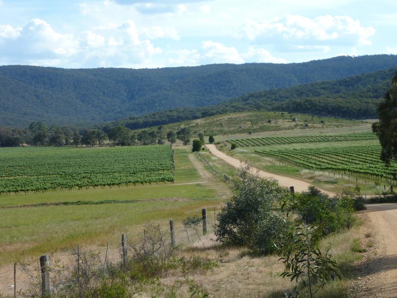
 Town of Moonambel - vineyards and scenery along Taltarni Road - View south-east along Taltarni Rd, 3.5 km from Moonambel Rd
 Town of Moonambel - vineyards and scenery along Taltarni Road - North-easterly view, Taltarni Rd, 3.5 km from Moonambel Rd
 Town of Moonambel - vineyards and scenery along Taltarni Road - North-easterly view, Taltarni Rd, 3.5 km from Moonambel Rd
 Town of Moonambel - vineyards and scenery along Taltarni Road - North-easterly view, Taltarni Rd 4 km from Moonambel Rd