Belgrave - public transport
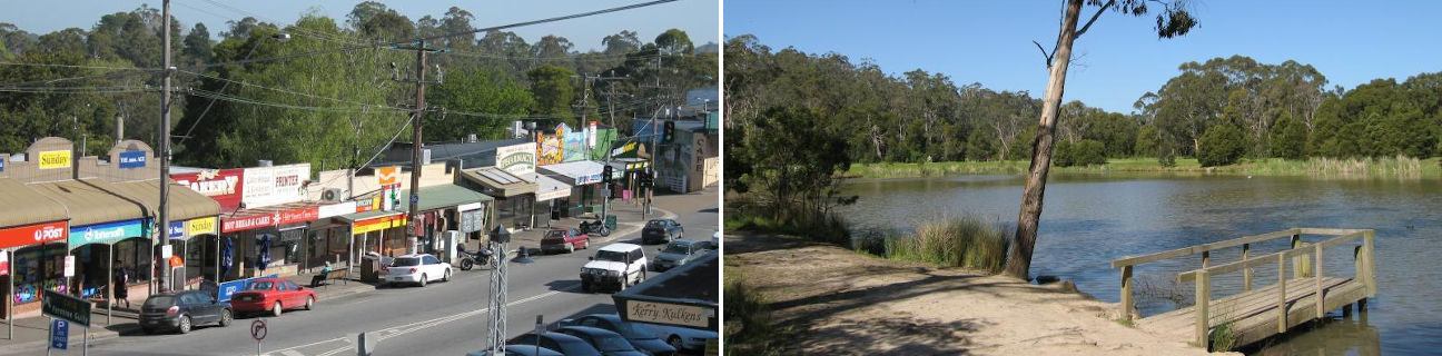
Belgrave
Stay
See and do
Food and drink
Shopping
Getting around
Visitor information
Train
Belgrave station
| Line | Operator | Timetable and stops | Map |
|---|---|---|---|
| Belgrave |  |
Belgrave - Melbourne Via Belgrave, Tecoma, Upwey, Upper Ferntree Gully, Ferntree Gully, Boronia, Bayswater, Heathmont, Ringwood, Heatherdale, Mitcham, Nunawading, Blackburn, Laburnum, Box Hill, Union, Chatham, Canterbury, East Camberwell, Camberwell, Auburn, Glenferrie, Hawthorn, Burnley, East Richmond, Richmond, Parliament, Melbourne Central, Flagstaff, Southern Cross, Flinders Street |
Bus
| Route | Operator | Timetable | Map |
|---|---|---|---|
| No. 663: Belgrave to Lilydale Via Belgrave station, Tecoma, Kallista, The Patch, Monbulk, Silvan, Mount Evelyn, Montrose, Lilydale station |
Ventura | ||
| No. 693: Belgrave to Oakleigh Via Belgrave station, Upwey, Upwey station, Upper Ferntree Gully, Ferntree Gully, Ferntree Gully station, Knoxfield, Scoresby, Wheelers Hill, Mulgrave, Clayton, Oakleigh station |
Ventura | ||
| No. 694: Belgrave to Mount Dandenong Via Belgrave station, Sherbrooke, Kallista, Sassafras, Olinda |
Ventura | ||
| No. 695: Belgrave to Gembrook Via Belgrave station, Selby, Menzies Creek, Clematis, Emerald, Cockatoo |
Ventura | ||
| No. 695F: Gembrook to Fountain Gate Via Cockatoo, Emerald, Clematis, Belgrave South, Narre Warren North |
Ventura | ||
| No. 697: Belgrave to Dandenong Via Belgrave station, Belgrave Heights, Belgrave South, Lysterfield, Narre Warren, Rowville |
Ventura | ||
| No. 699: Belgrave to Upwey Via Belgrave station, Tecoma, Tecoma station, Upwey station |
Ventura |