Drouin - photos
Drouin
Stay
See and do
Food and drink
Shopping
Getting around
Visitor information
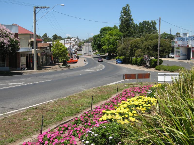
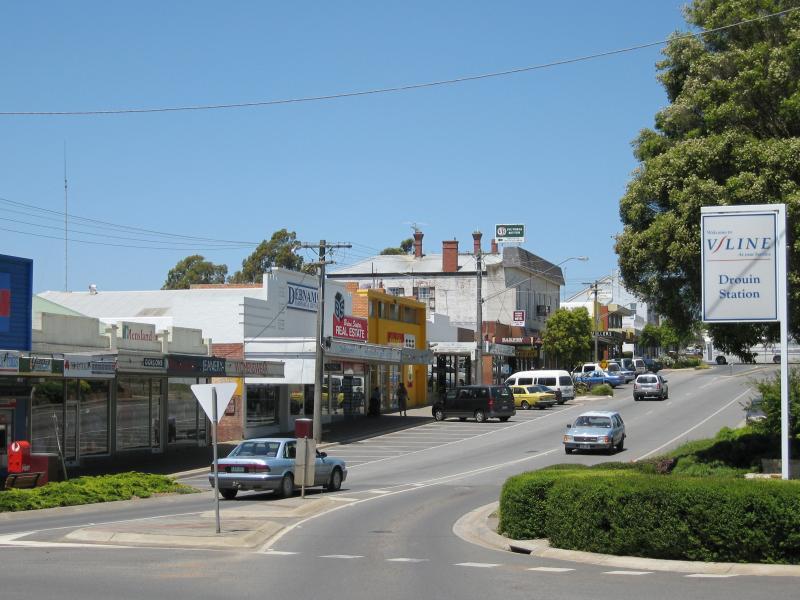
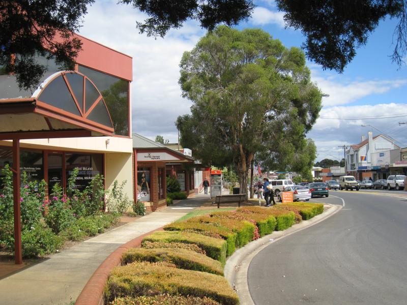
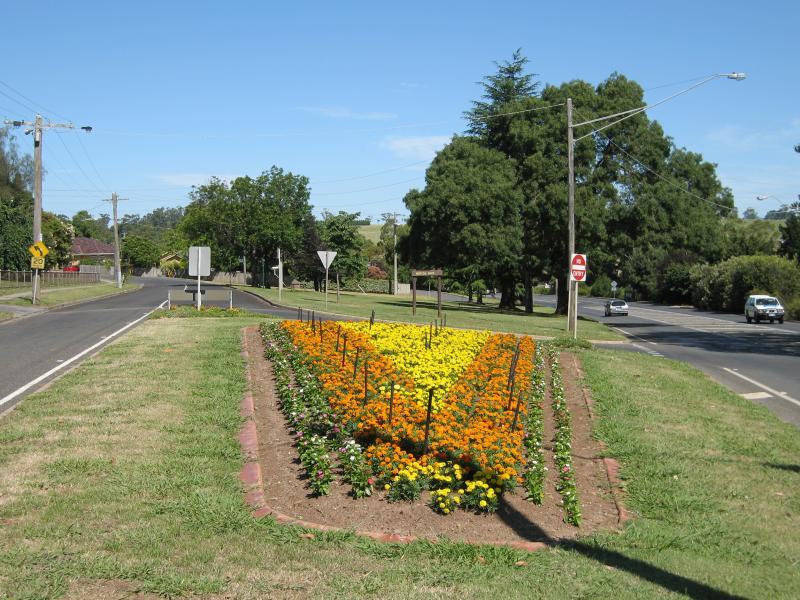
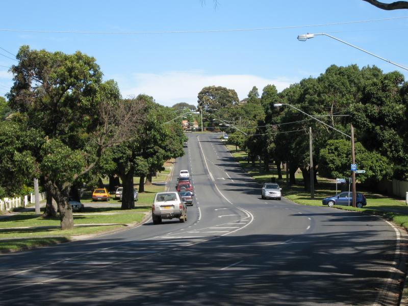
View south-east along Princes Way at Francis St
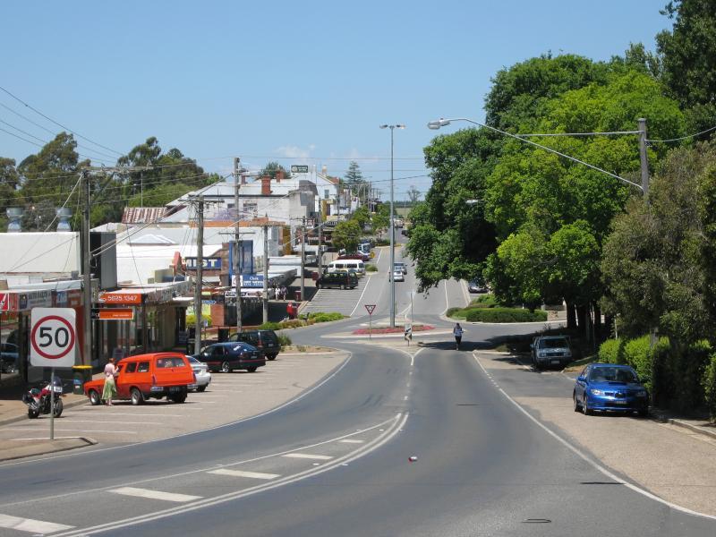
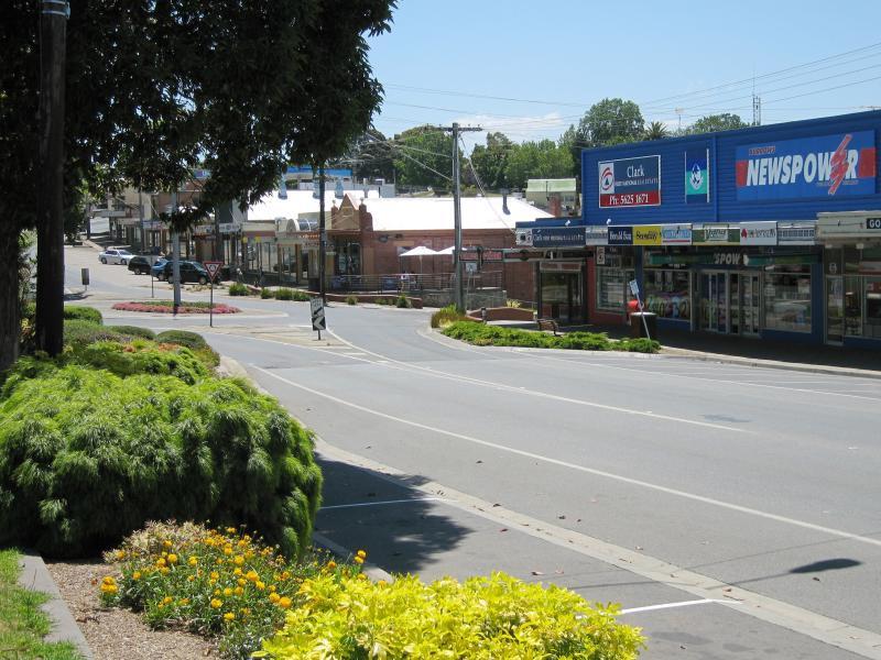
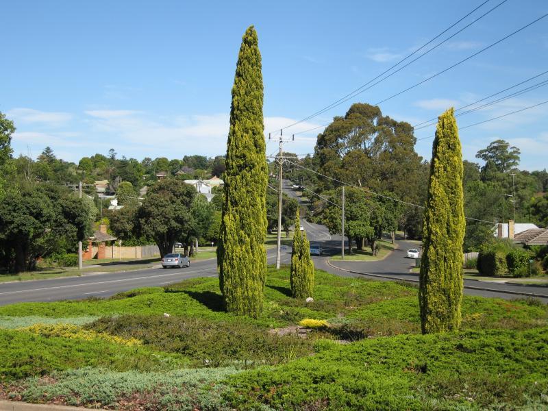
View south-east along Princes Way towards Hope St
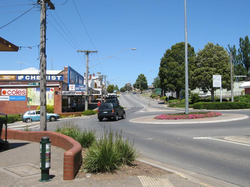
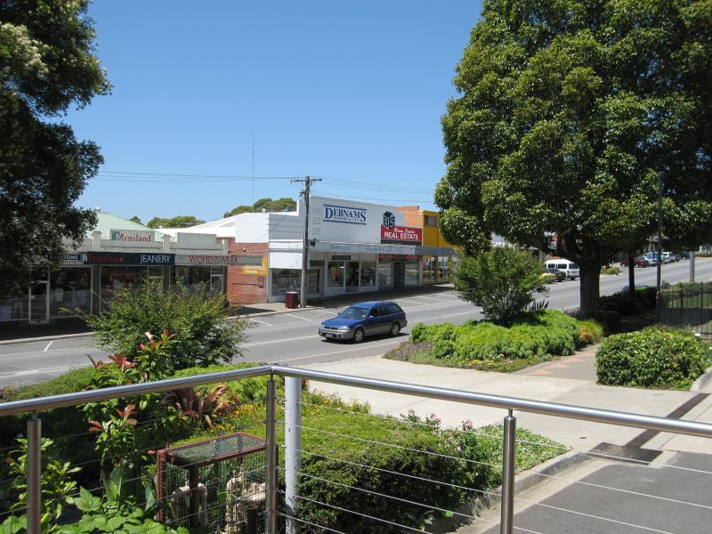
View south-east along Princes Way at Hope St
View north-west along Princes Way at Hope St
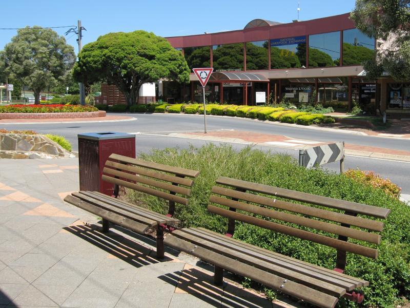
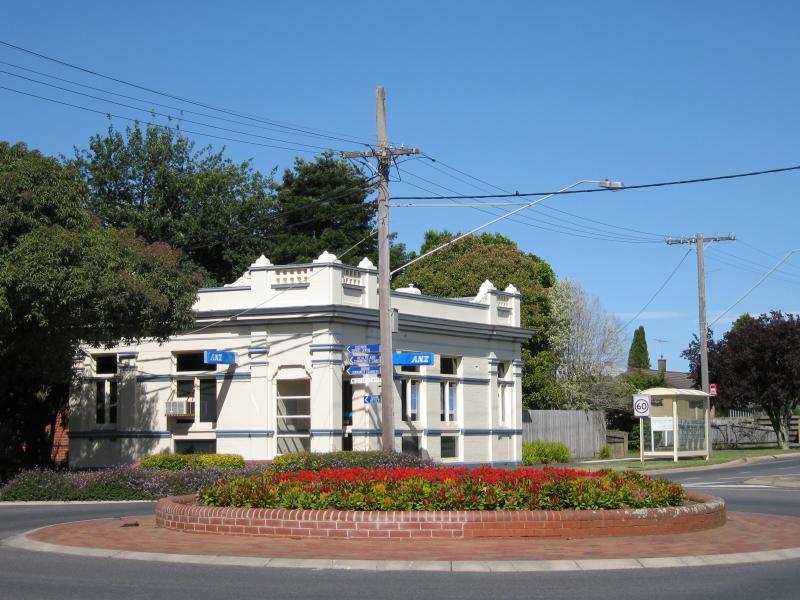
Southern corner of Princes Way and Hope St
View south across Princes Way at Hope St
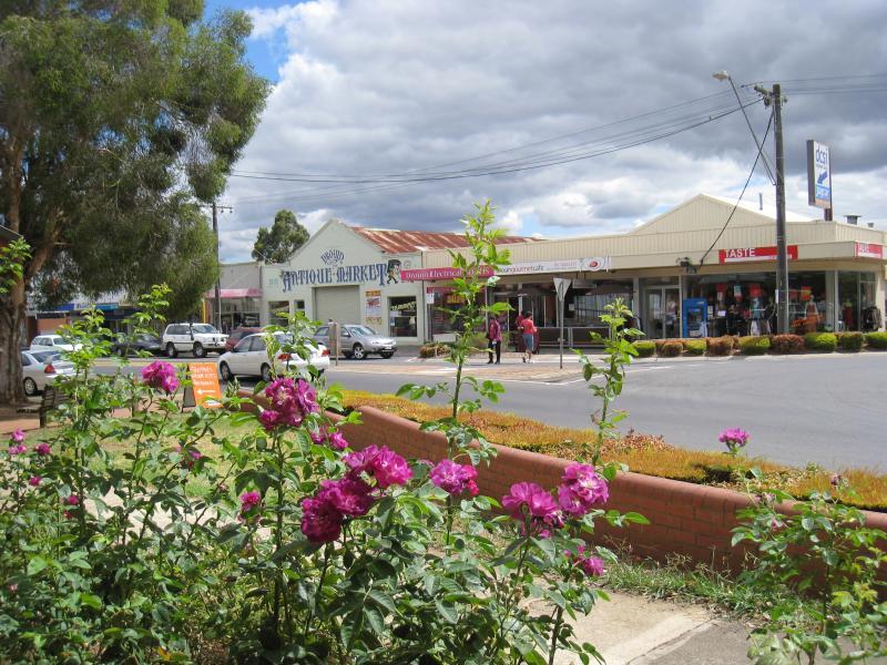
View north across Princes Way at Hope St
View south-east along Princes Way at Hope St
View north-west along Princes Way towards Hope St
Princes Way between Hope St and Main South Rd
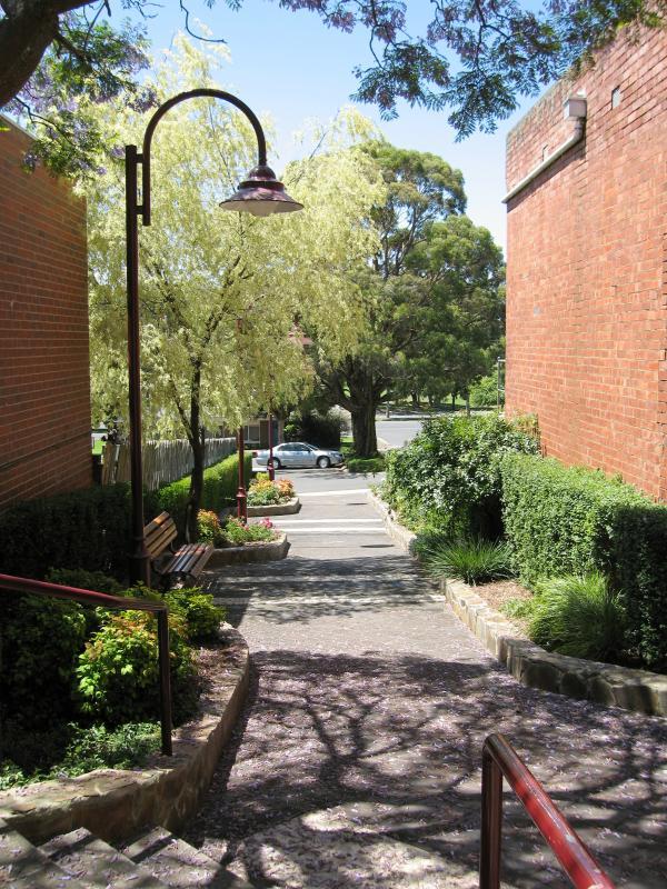
Walkway between Princes Way and Commercial Pl
View south-east along Princes Way towards Main South Rd
View south-east along Princes Way towards Main South Rd
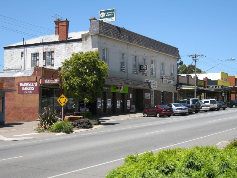
Drouin Family Hotel, Princes Way
View south across Princes Way at Main South Rd
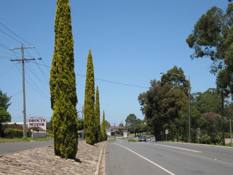
View south-west along Main South Rd at Princes Way
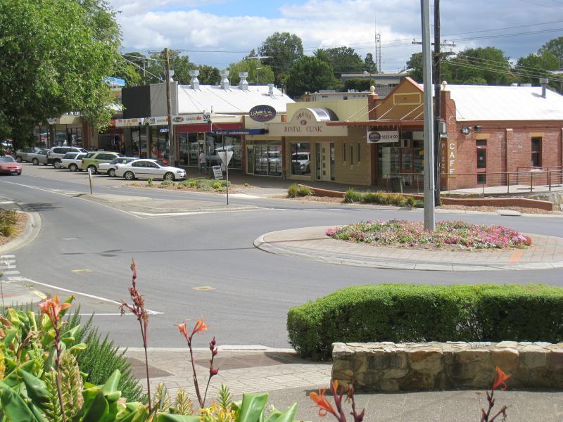
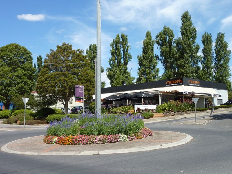
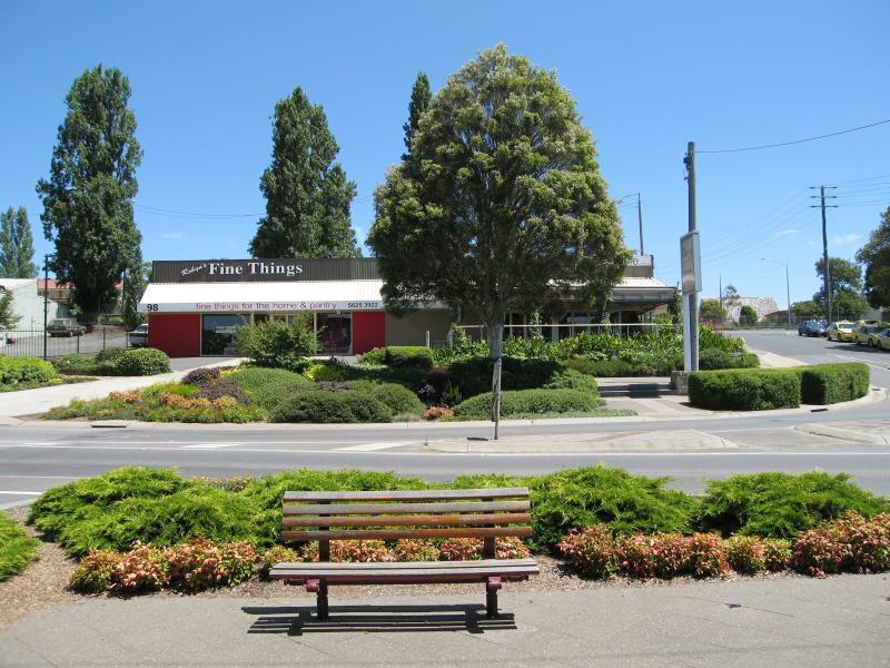
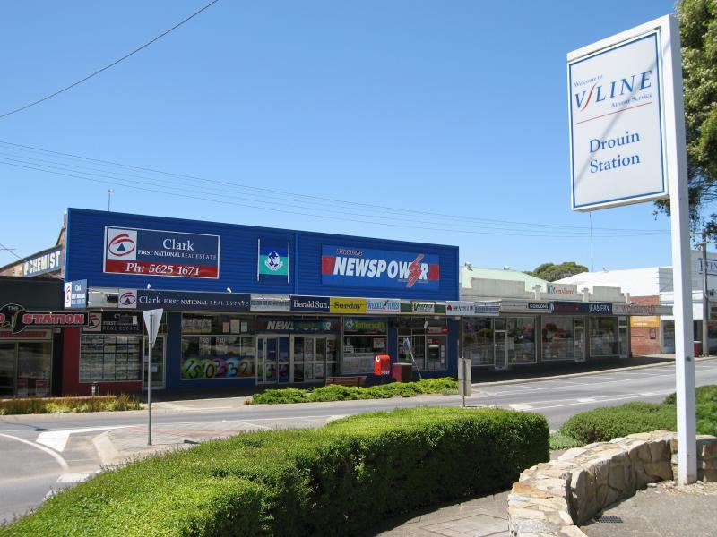
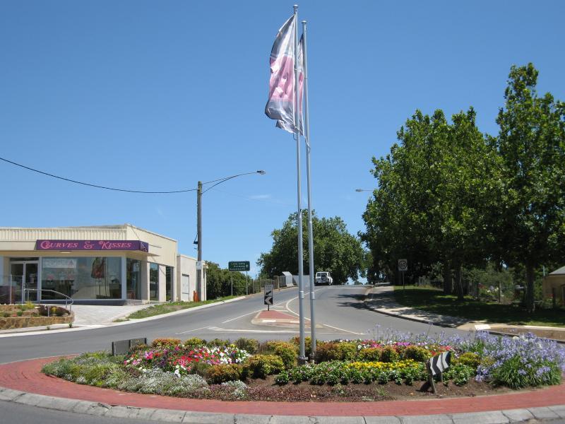
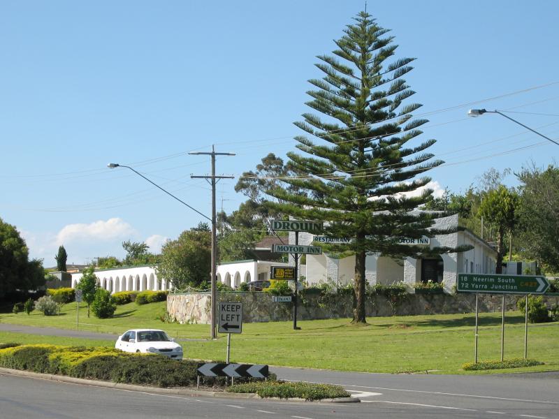
Roundabout at Princes Way and Main South Rd
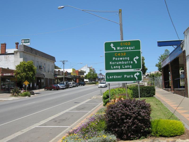
View south-east along Princes Way at Main South Rd
View south-east along Princes Way at Main South Rd
View north across Princes Way at Main South Rd
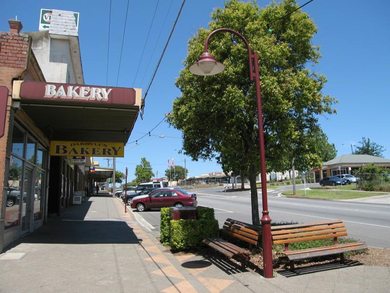
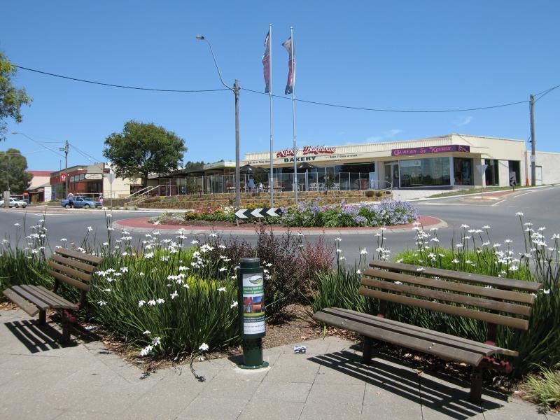
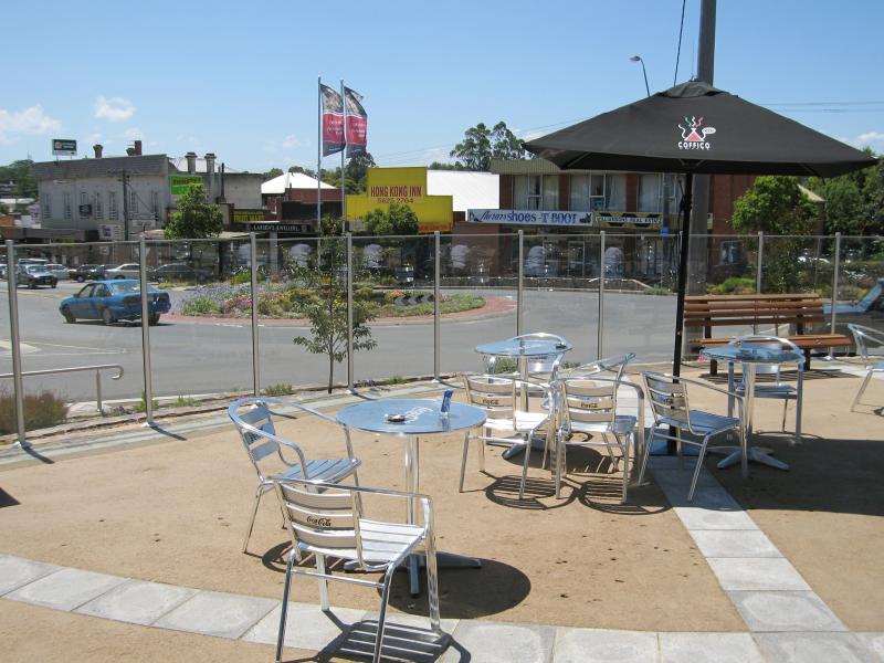
Tables in front of bakery, looking north across Princes Way at Main South Rd
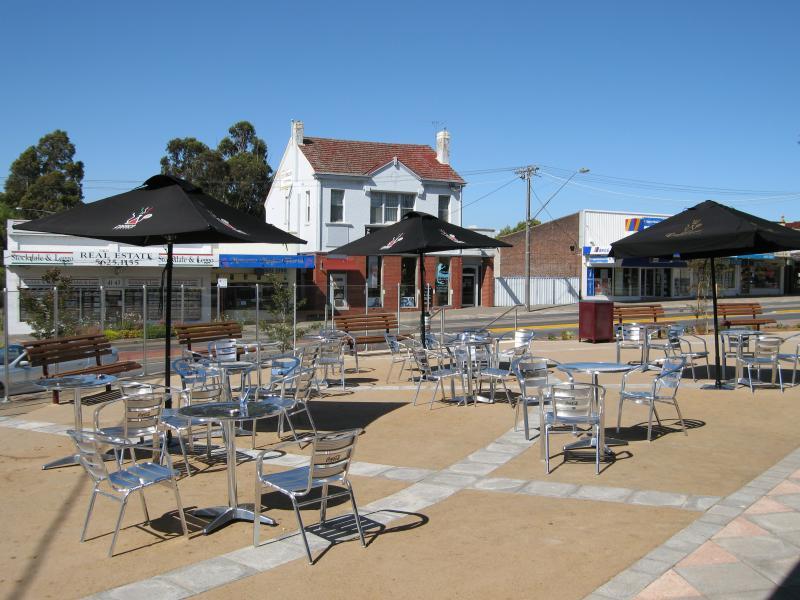
View north across Princes Way just east of Main South Rd
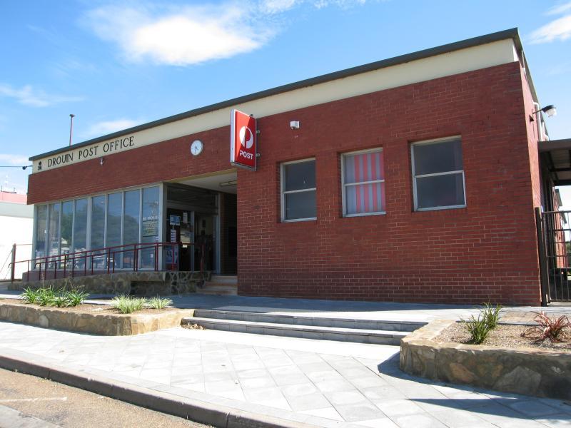
Drouin post office
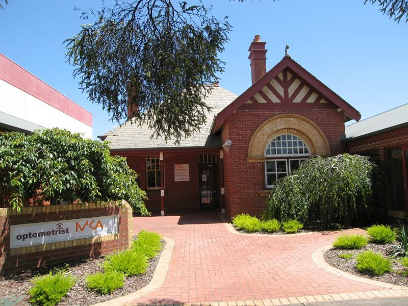
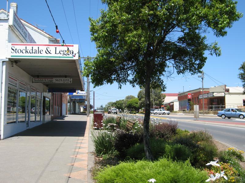
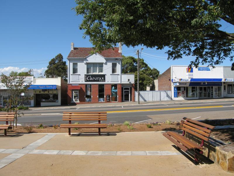
Legal office, south side of Princes Way near post office
View south-east along Princes Way towards Bank Pl
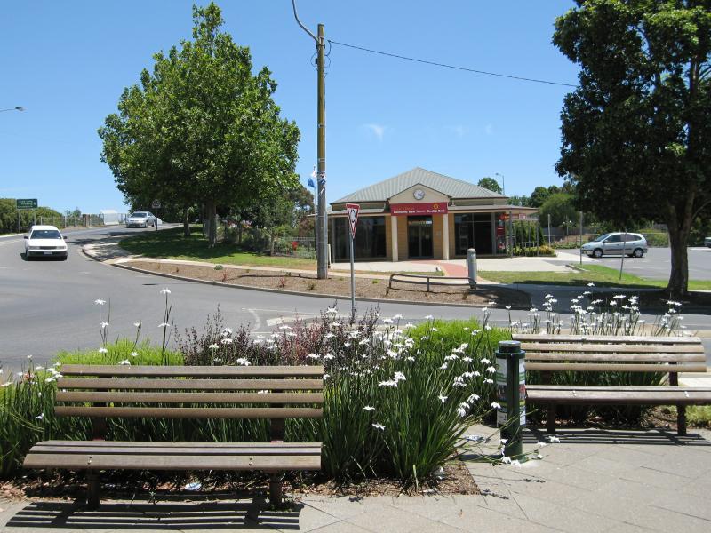
View north across Princes Way at Bank Pl
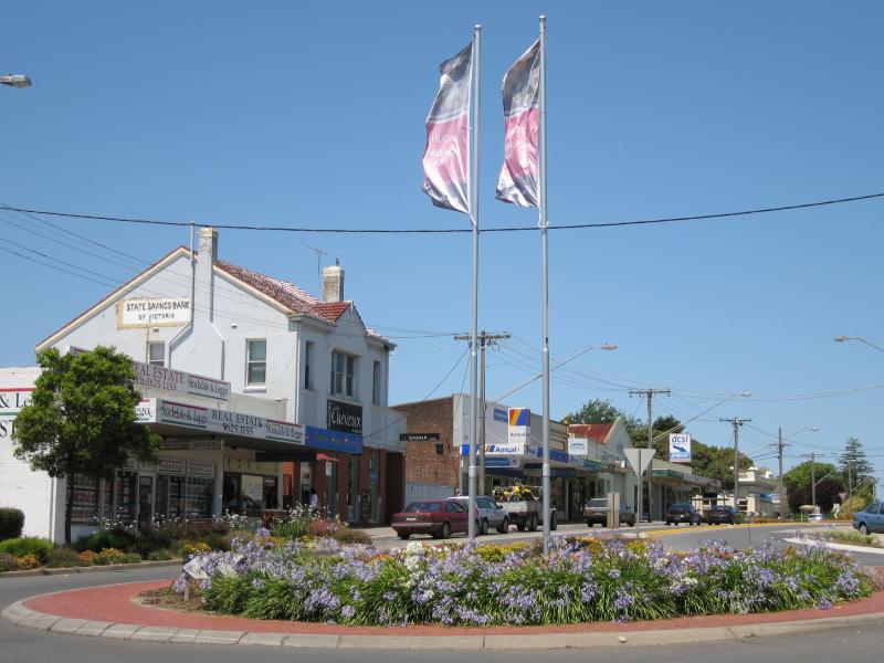
View north-west along Princes Way at Bank Pl
View south-east along Princes Way at Bank Pl
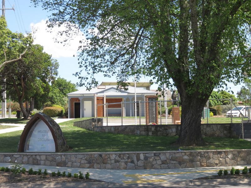
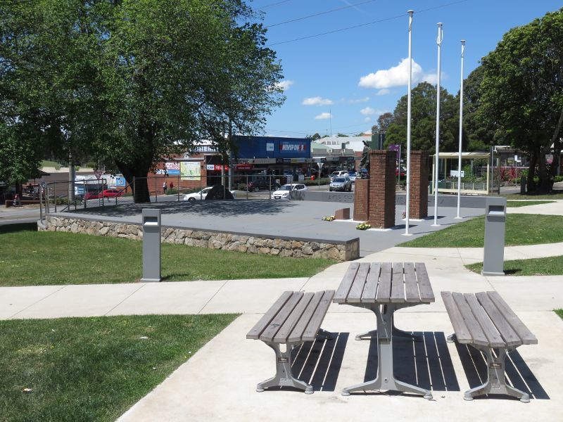
Memorial Park viewed from Princes Way
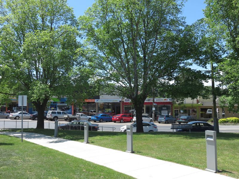
View north through park towards shops along Princes Way
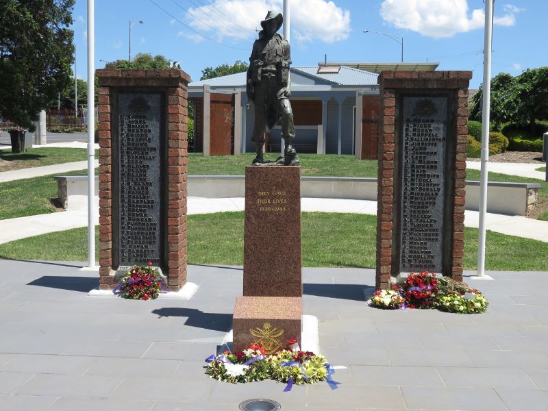
War memorial
View north through park
Easterly view through park
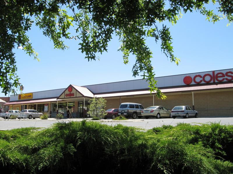
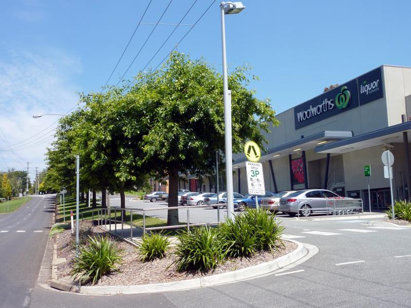
Coles supermarket, corner Young St and Hope St
View south-west along Hope St towards Commercial Pl
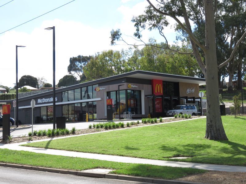
McDonalds, Young St opposite Hope St
View south-east along Young St at Drouin Central Shopping Centre
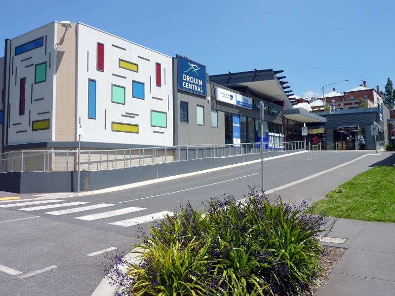
Entrance to Drouin Central Shopping Centre viewed from Young St
View of Baw Baw Shire Council offices from Young St
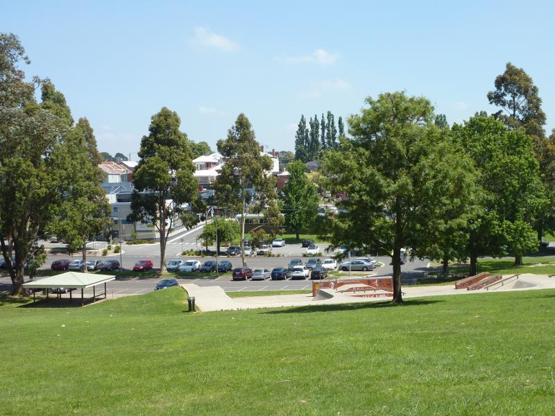
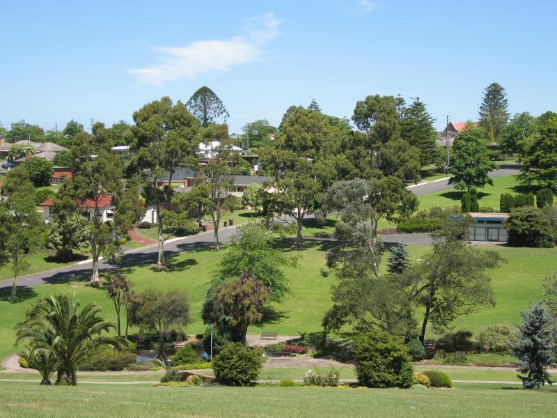
Civic Park viewed from car park along Young St
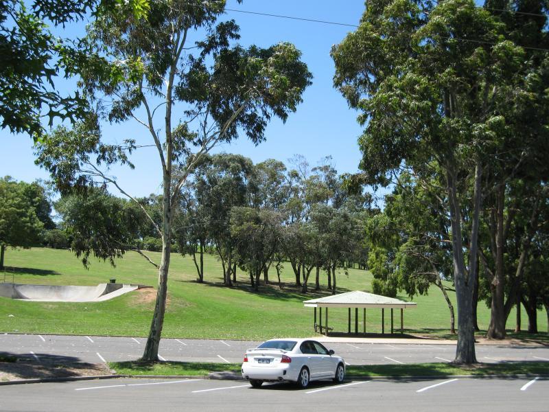
View south through Civic Park towards skate park and Young St
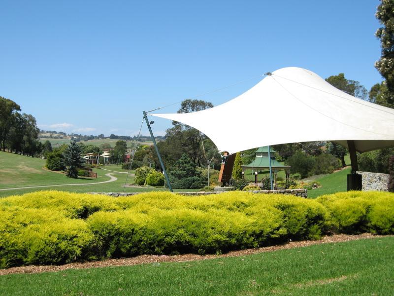
View east through park towards Sound Shell
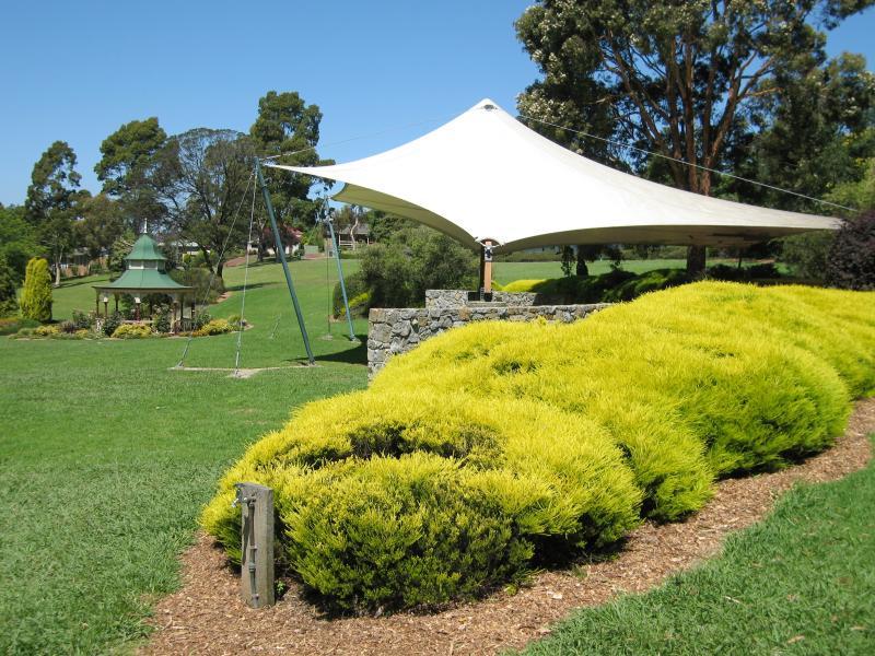
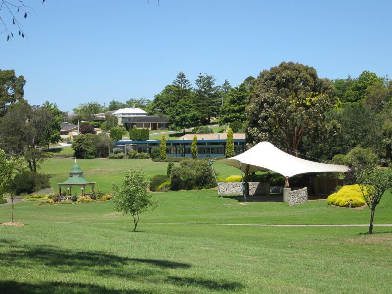
Sound Shell and rotunda
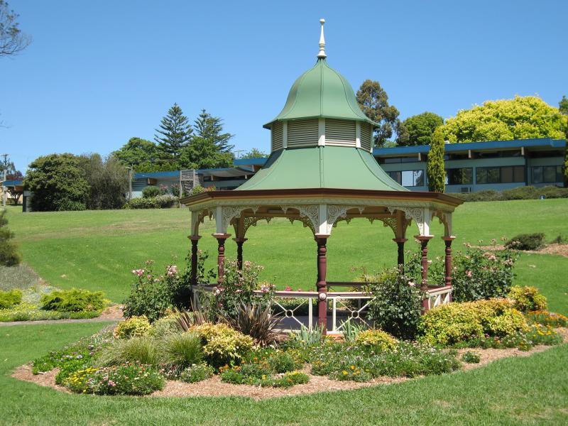
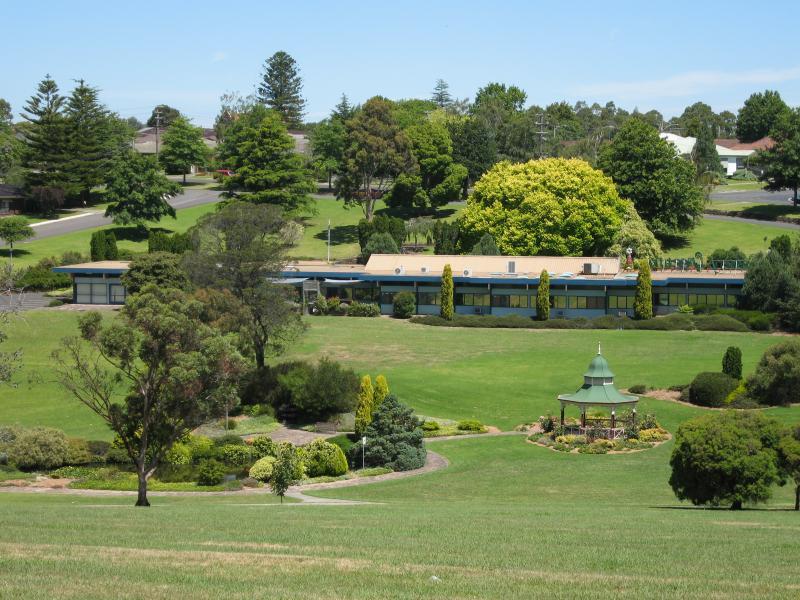
Rotunda with Baw Baw Shire Council offices in background
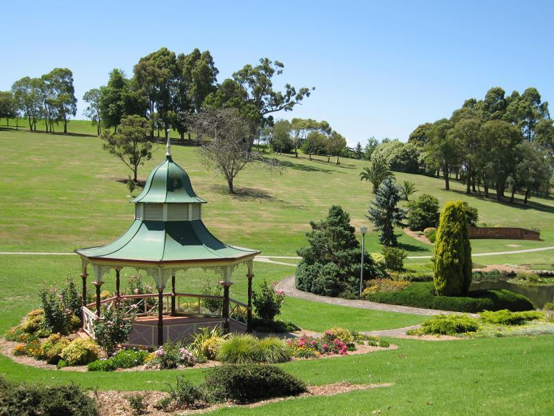
Rotunda and lake
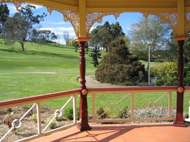
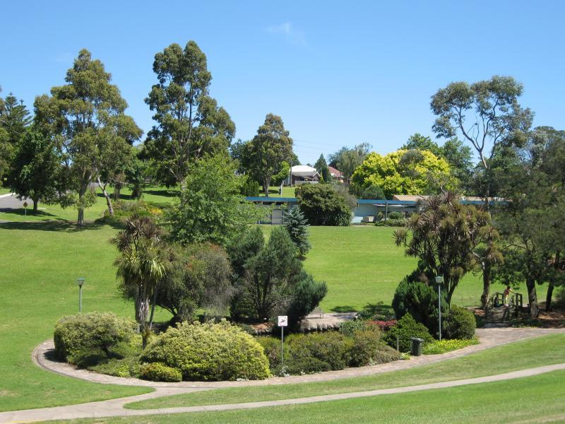
View across park from inside rotunda
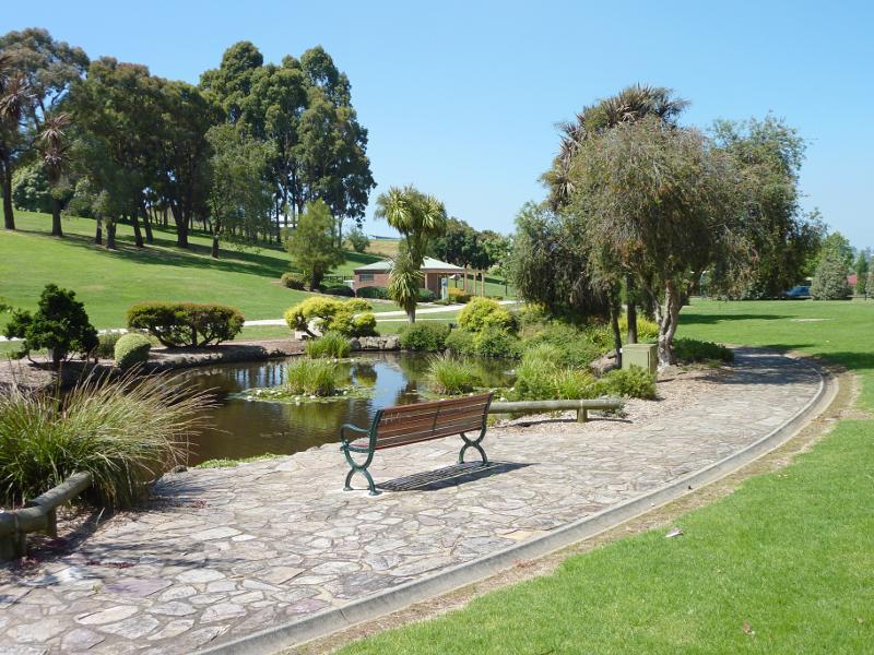
Lake
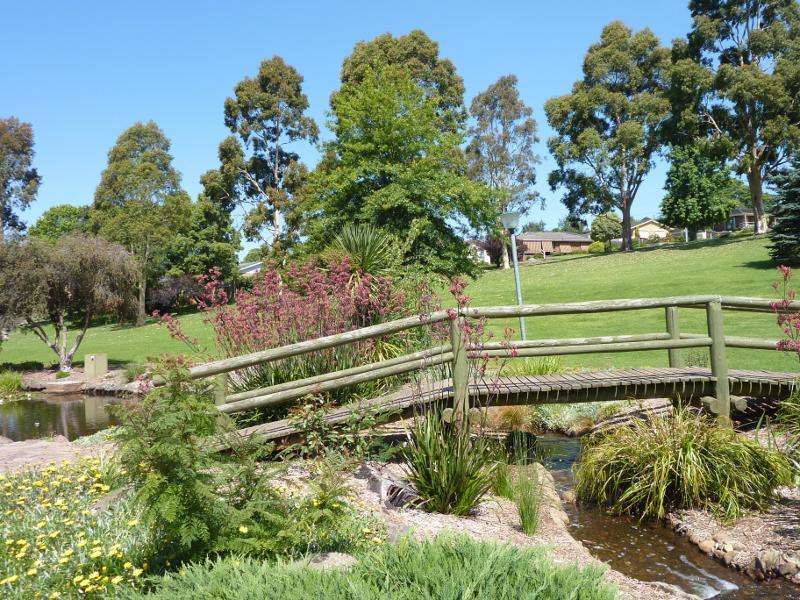
Footbridge at lake
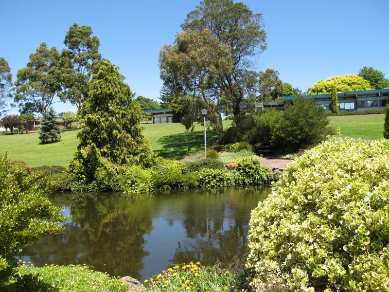
Lake and Baw Baw Shire Council offices in background
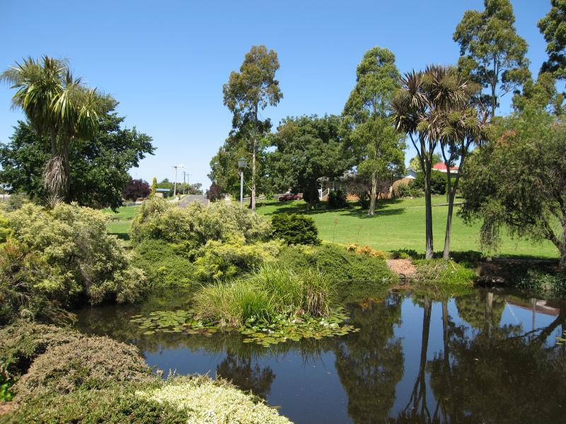
Lake near Brynwood St
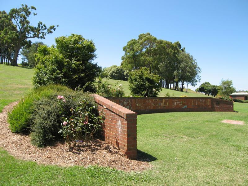
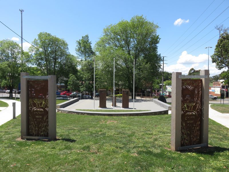
Murals on Federation Wall
View south through park towards Sound Shell and Baw Baw Shire Council offices
View south through park towards Sound Shell and rotunda
View south through park towards rotunda and Baw Baw Shire Council offices
View south through park towards lake
View south through park towards lake and Brynwood St
View south-east through park towards Brynwood St and Edward St
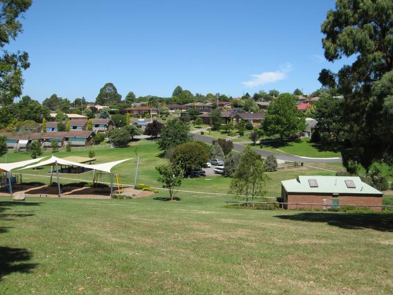
View east through John Grubb Park towards playground and toilets
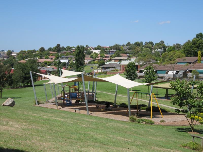
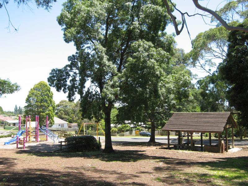
Playground at John Grubb Park
View of houses to the east of John Grubb Park
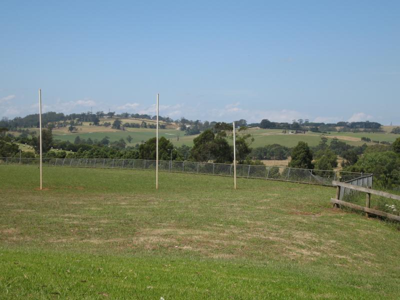
Recreational Oval next to St Ida's School, viewed from north end of Civic Park
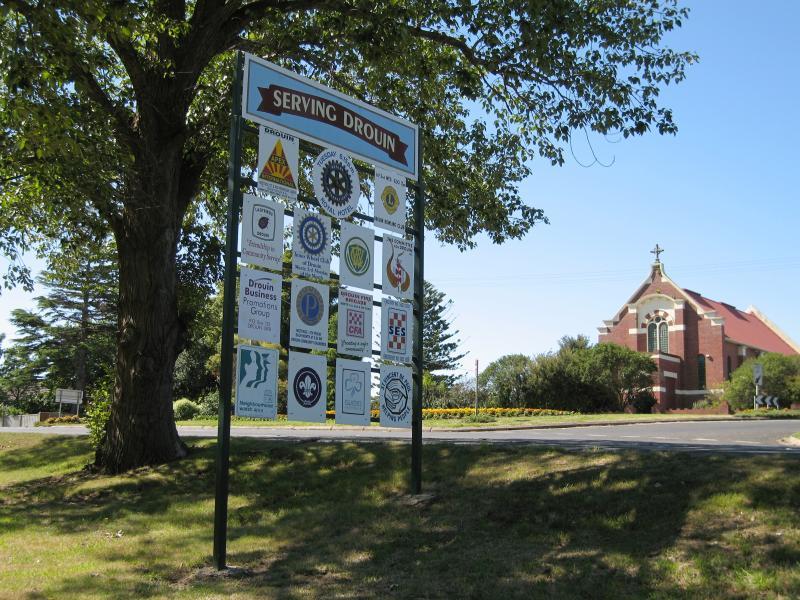
Town clubs sign and St Ida's Church, view north across Princes Way at Buln Buln Rd
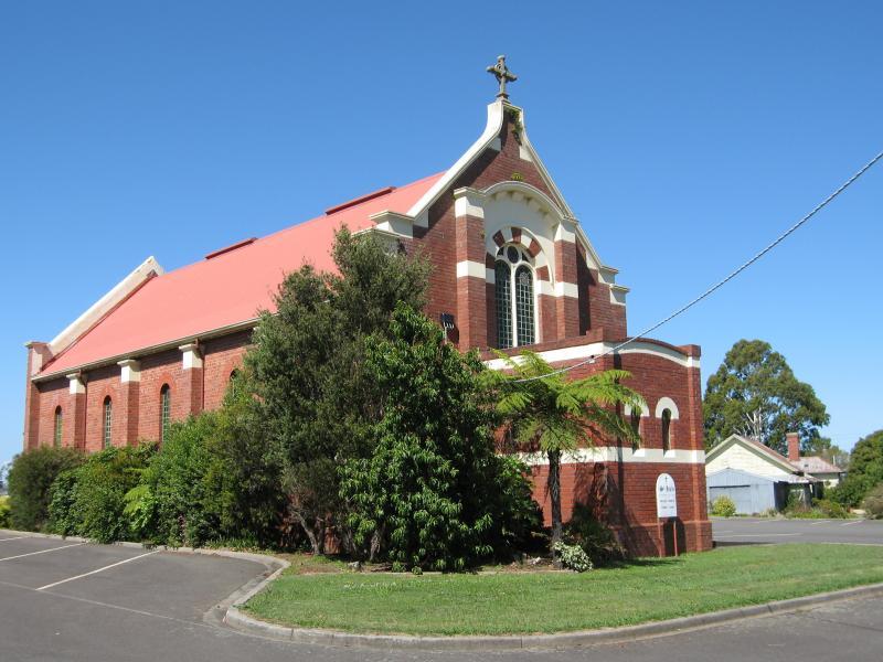
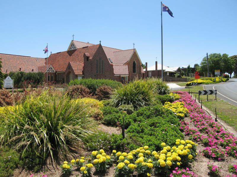
St Ida's Church, Princes Way at Buln Buln Rd
Morton Park, view east along Princes Way at Buln Buln Rd
View north-west along Princes Way at Francis Av towards Church of Christ

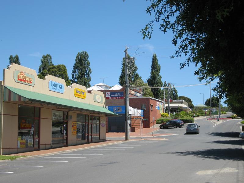
Shops on corner of Princes Way and School Rd
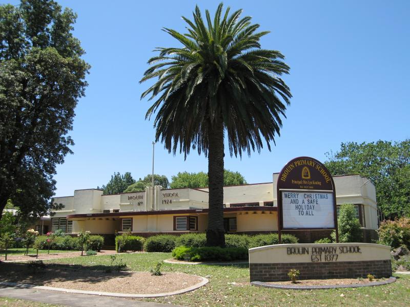
Drouin Primary School, corner Princes Way and School Rd
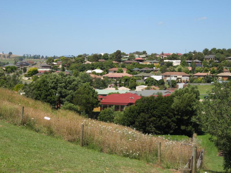
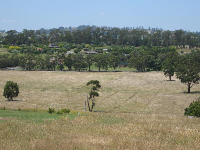
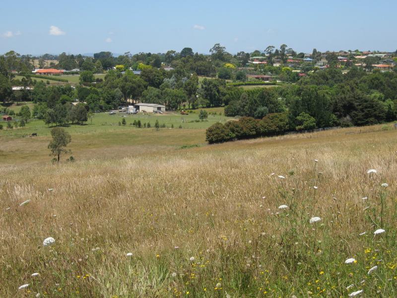
South-west view from corner of Albert Rd and Francis Av
View south-east along Princes Way towards Viaduct Pl
View south-east along Princes Way at Longwarry Rd
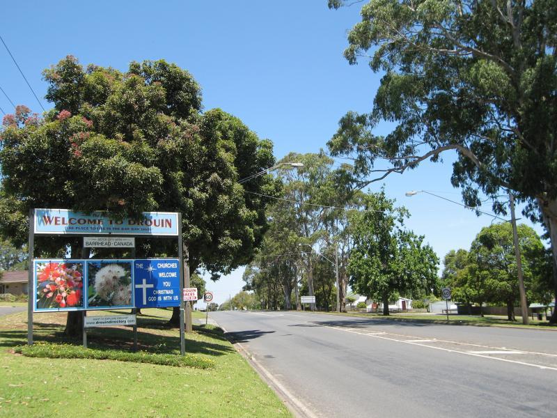
Drouin town sign, view south-east along Princes Way towards McNeilly Rd
Hearne Park, Princes Way opposite McNeilly Rd
North across Princes Way at Main Neerim Rd
View south-east along Princes Way towards Main Neerim Rd
Easterly view, Princes Way south of Amberly Dr
South-easterly view, Princes Way south of Amberly Dr
View north along Main Neerim Rd towards Waddell Rd
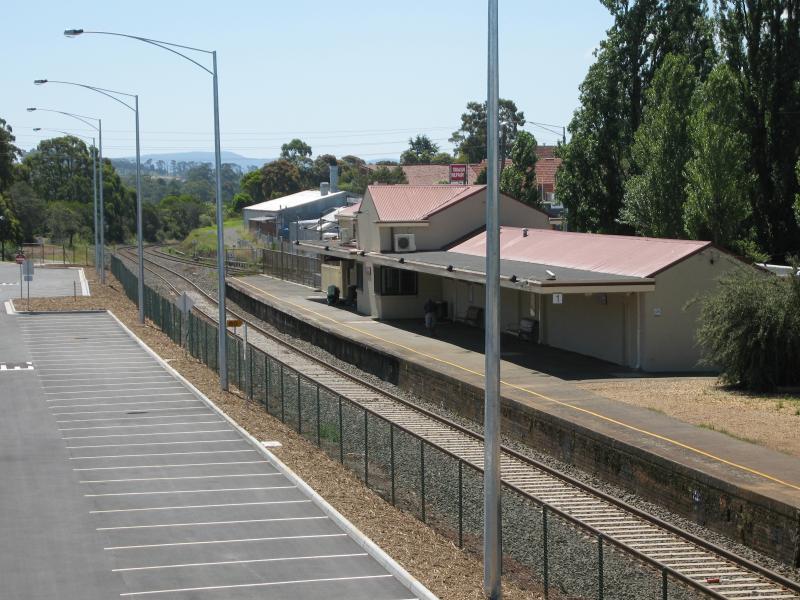
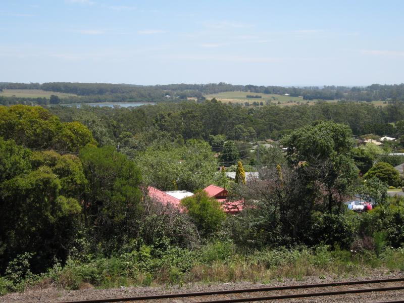
View west towards station from bridge over railway
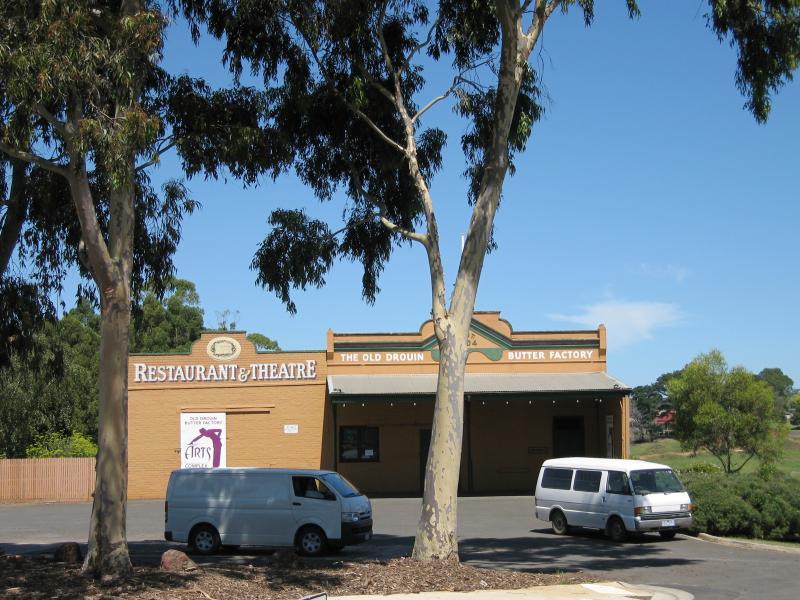
Old Butter Factory Arts, corner Main South Rd and Montague Av
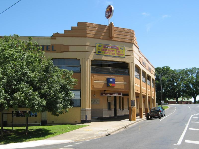
Royal Hotel, view south-west along Main South Rd at Montague Av
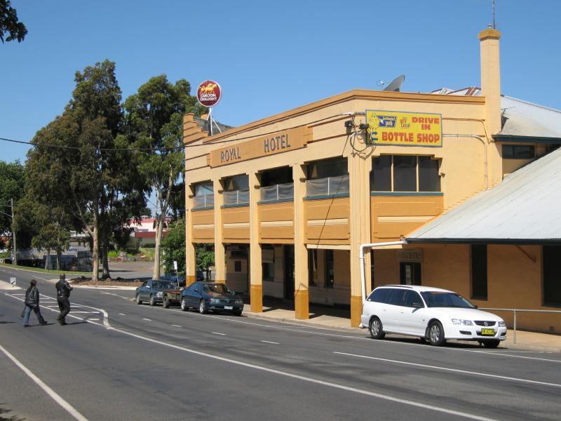
Royal Hotel, view north-east along Main South Rd towards Montague Av
View south along Main South Rd at Pearson St
View east along Montague Av towards park entrance
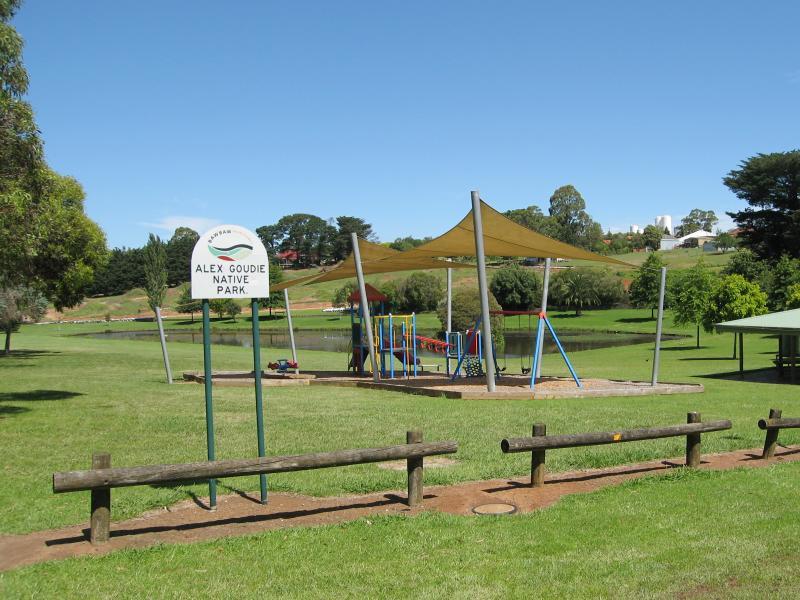
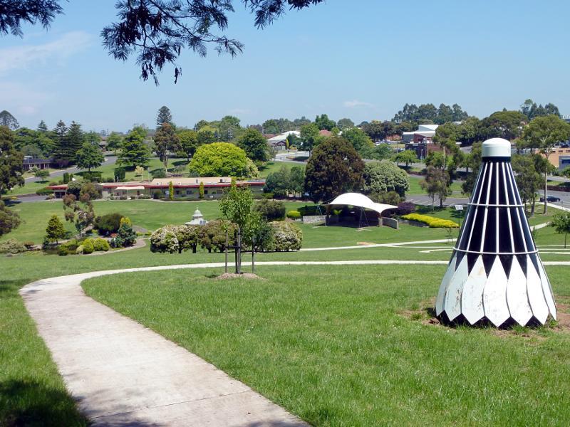
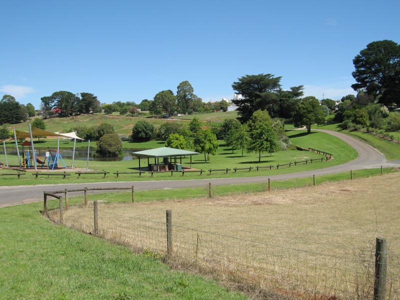
Playground and lake
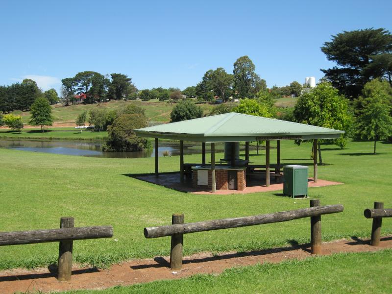
BBQ shelter and lake
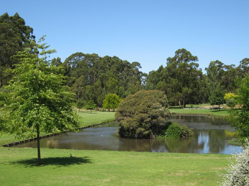
Lake
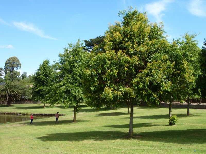
Lawns beside lake
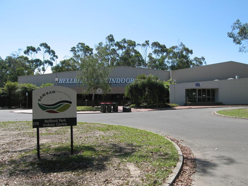
Bellbird Park Indoor Centre, Settlement Rd
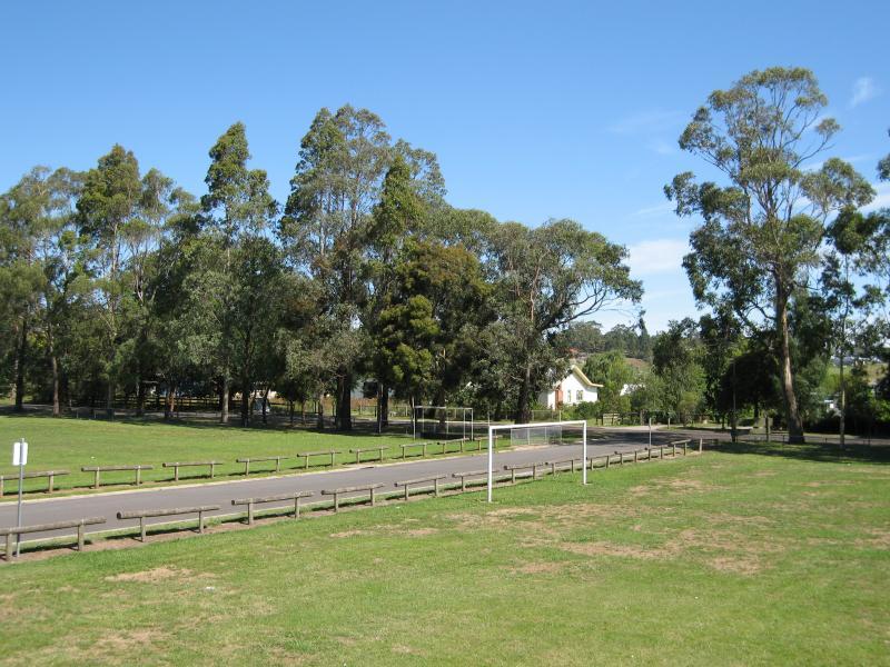
Hockey fields at Lampard Rd entrance
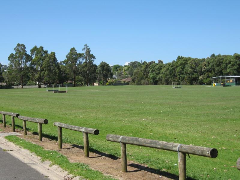
Sports fields next near Lampard Rd entrance
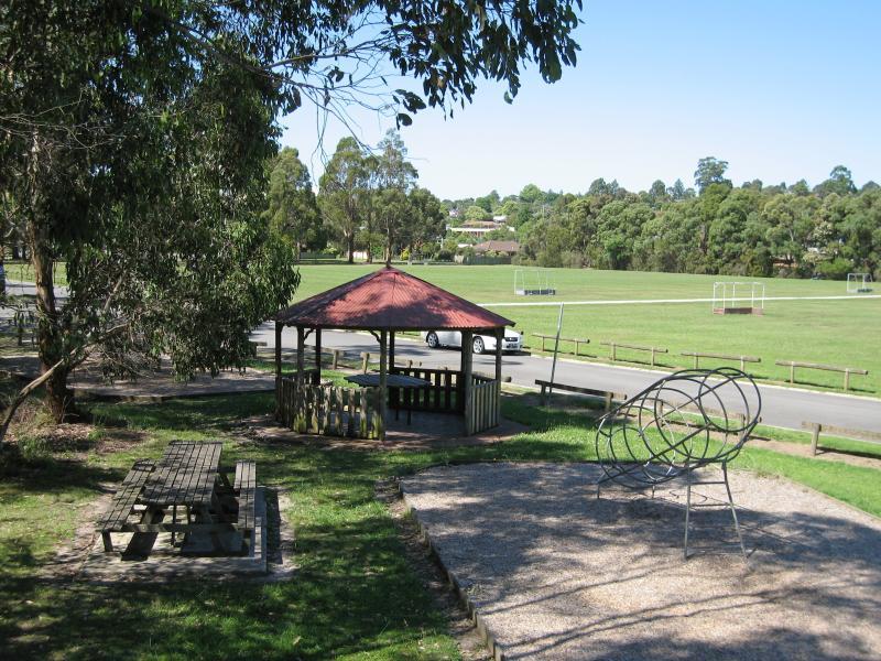
Playground and rotunda, Apex Park near Lampard Rd entrance
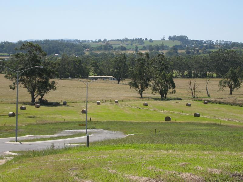
View north-west along Summerhill Bvd near Clauida Cr
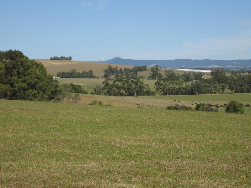
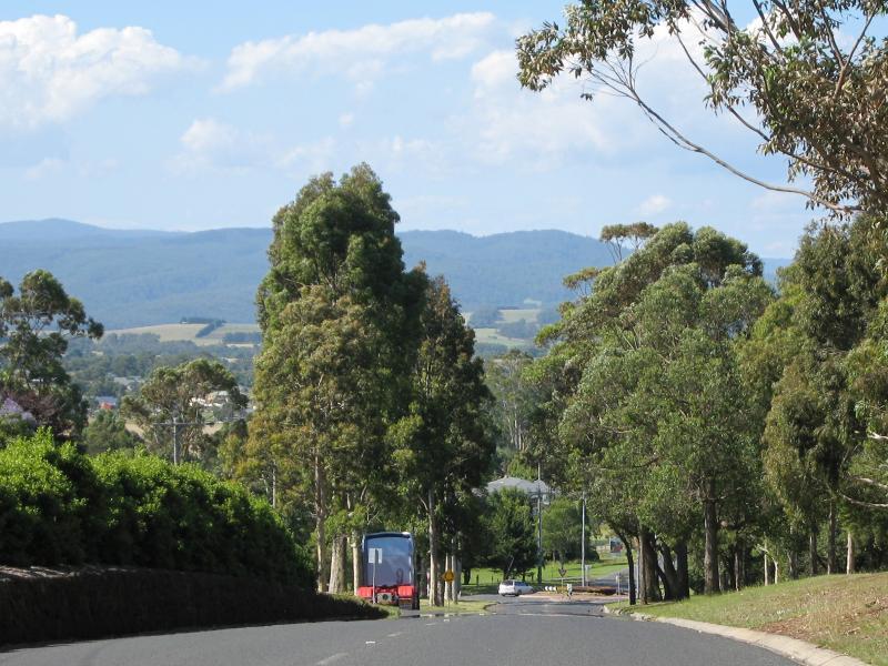
South-easterly view, Main South Rd south of Summerhill Bvd
Southerly view, Main South Rd south of Summerhill Bvd
Southerly view, Main South Rd south of Summerhill Bvd
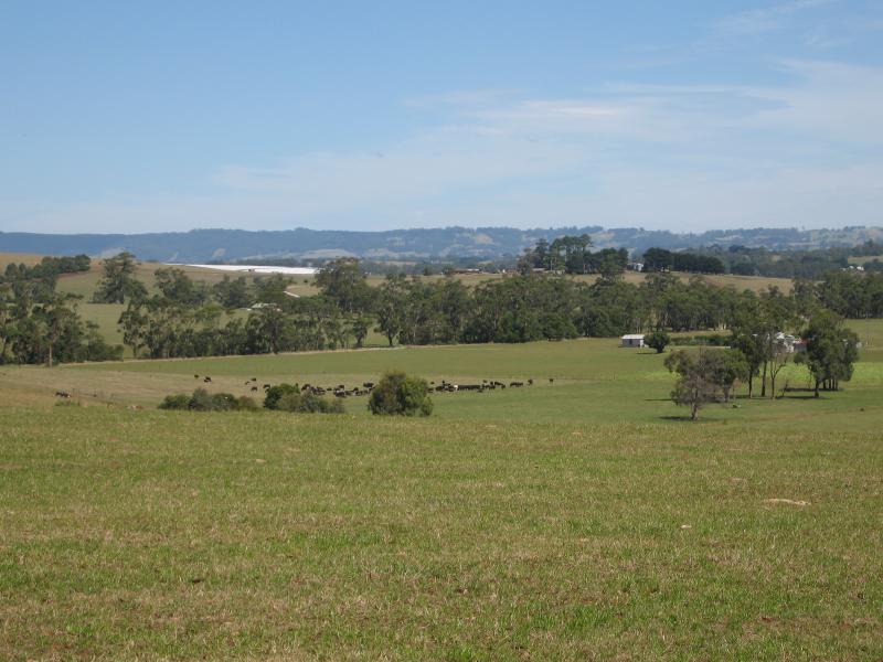
South-easterly view, Main South Rd south of Bosanko Rd
South-easterly view, Main South Rd south of Bosanko Rd
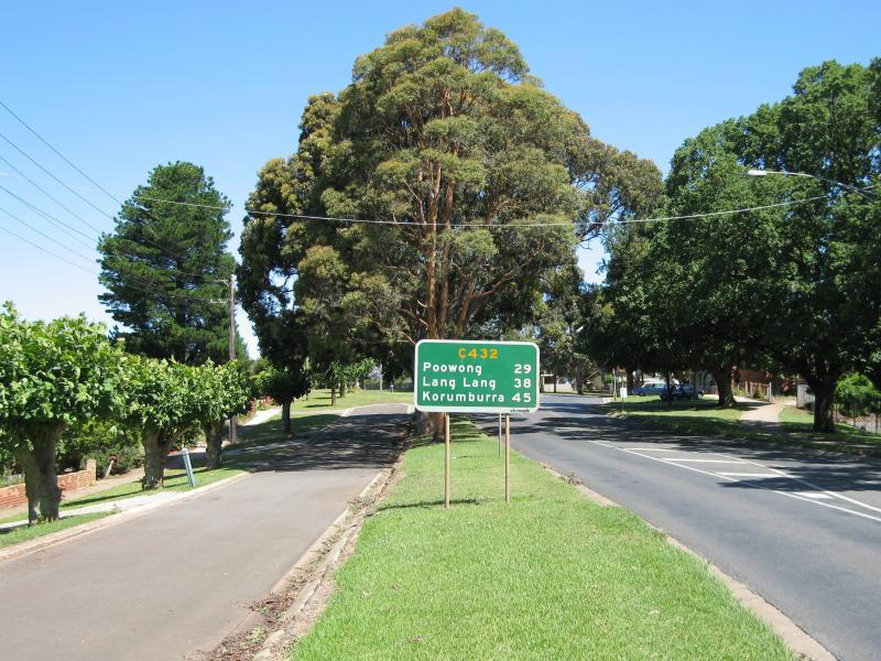
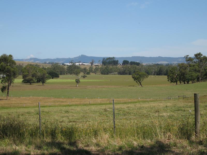
South-easterly view, Main South Rd at Korumburra Rd
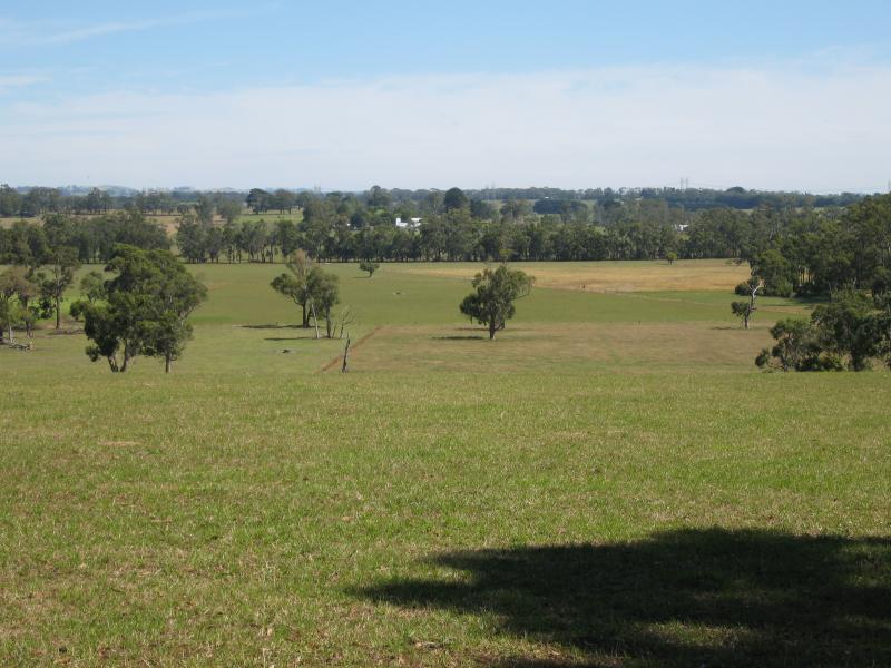
North-westerly view
Northerly view
Northerly view
North-easterly view
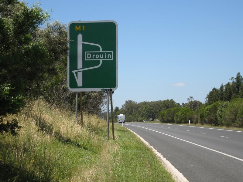
View east along Princes Fwy, approaching Drouin exit (Robin Hood interchange)