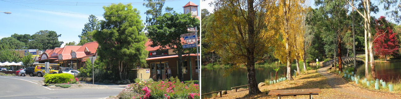
Shops and commercial centre, Kilvington Drive - View east along Main St at Kilvington Dr
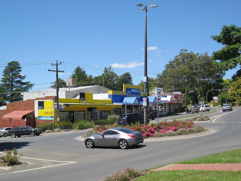
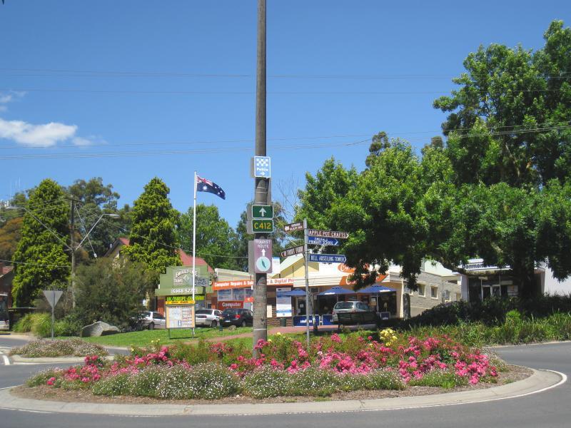
Shops and commercial centre, Kilvington Drive - Roundabout at junction of Main St and Kilvington Dr
Shops and commercial centre, Kilvington Drive - View north-east along Main St service road towards Murphys Way
Shops and commercial centre, Kilvington Drive - View north across Main St east of Kilvington Dr
Shops and commercial centre, Kilvington Drive - Supermarket fronting Main St west of Kilvington Dr
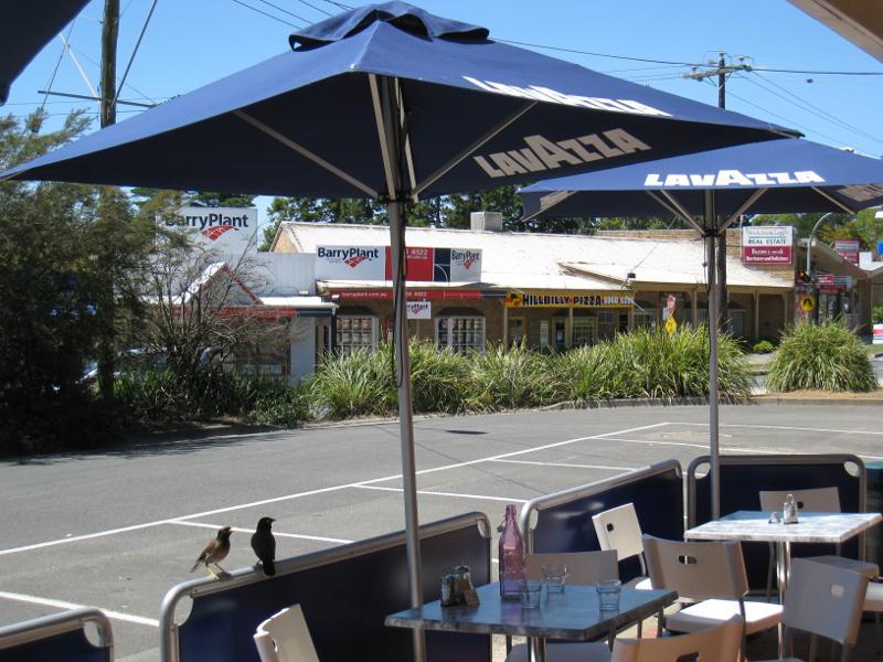
Shops and commercial centre, Kilvington Drive - Shops fronting courtyard and car park, south-west corner of Main St and Kilvington Dr
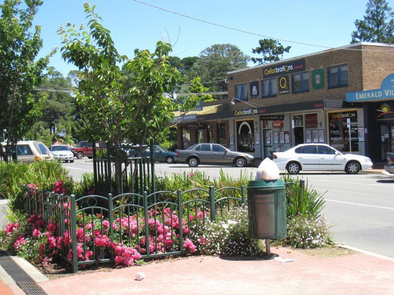
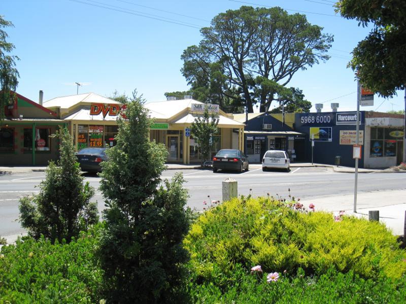
Shops and commercial centre, Kilvington Drive - View south along Kilvington Dr at Main St
Shops and commercial centre, Kilvington Drive - View south along Kilvington Dr at Main St
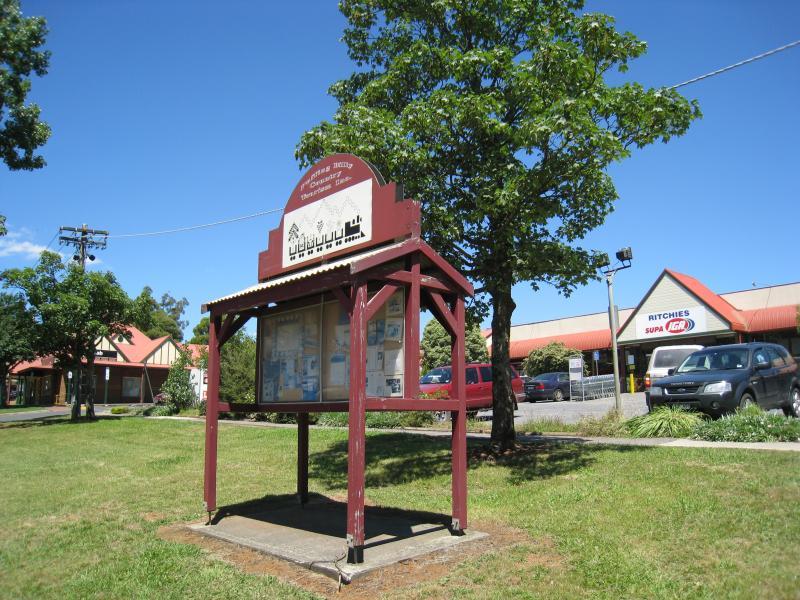
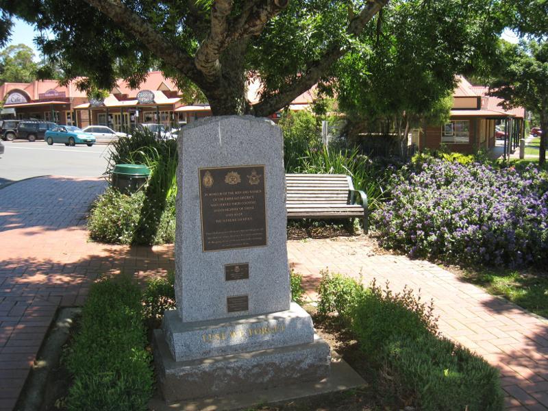
Shops and commercial centre, Kilvington Drive - War memorial at south-eastern corner of Main St and Kilvington Dr
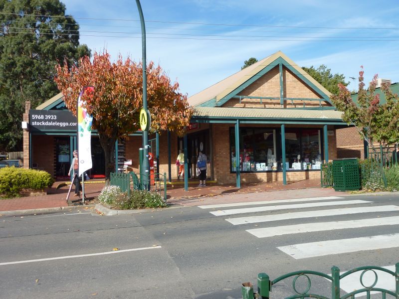
Shops and commercial centre, Kilvington Drive - Post office, east side of Kilvington Dr
Shops and commercial centre, Kilvington Drive - Shops along west side of Kilvington Dr
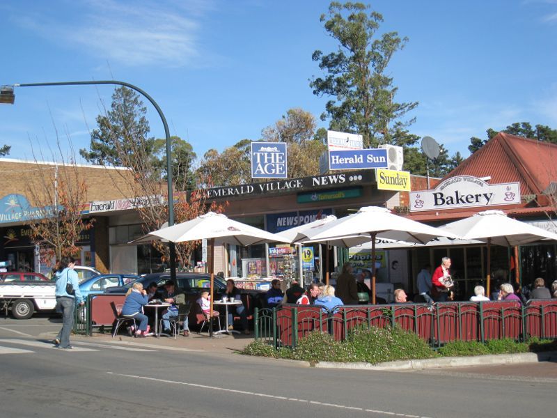
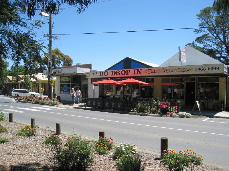
Shops and commercial centre, Kilvington Drive - View south along Kilvington Dr through shopping area
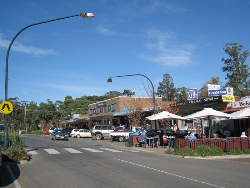
Shops and commercial centre, Kilvington Drive - View south along Kilvington Dr through shopping area
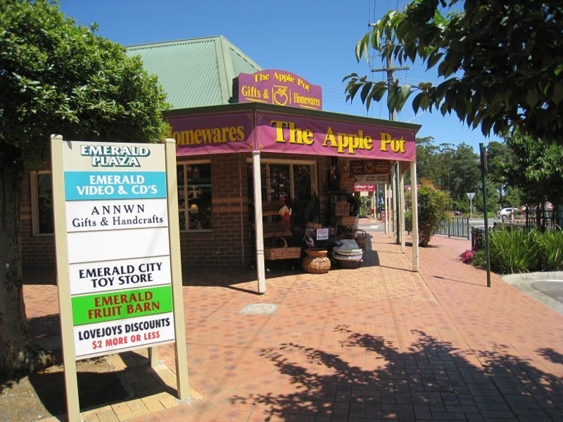
Shops and commercial centre, Kilvington Drive - The Apple Pot, Emerald Plaza, Kilvington Dr
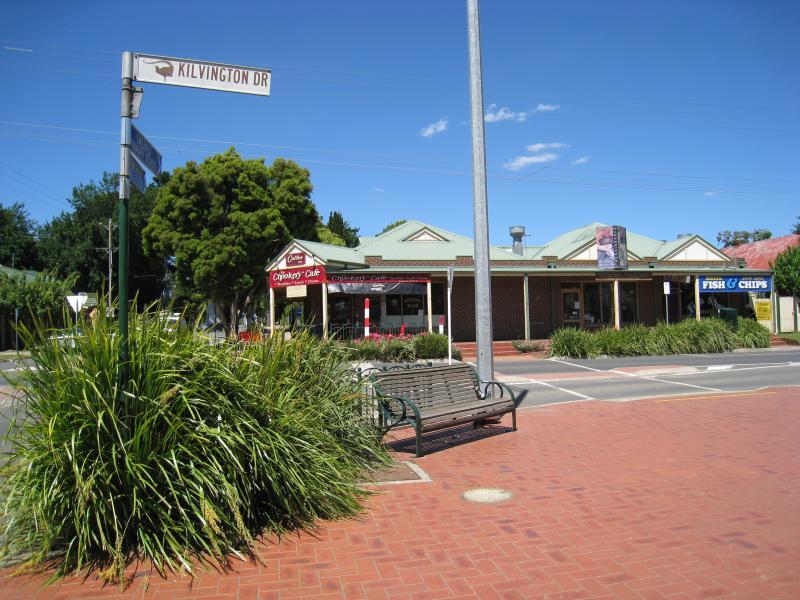
Shops and commercial centre, Kilvington Drive - View south along Kilvington Dr at Heroes Av
Shops and commercial centre, Kilvington Drive - View east across Kilvington Dr at Heroes Av
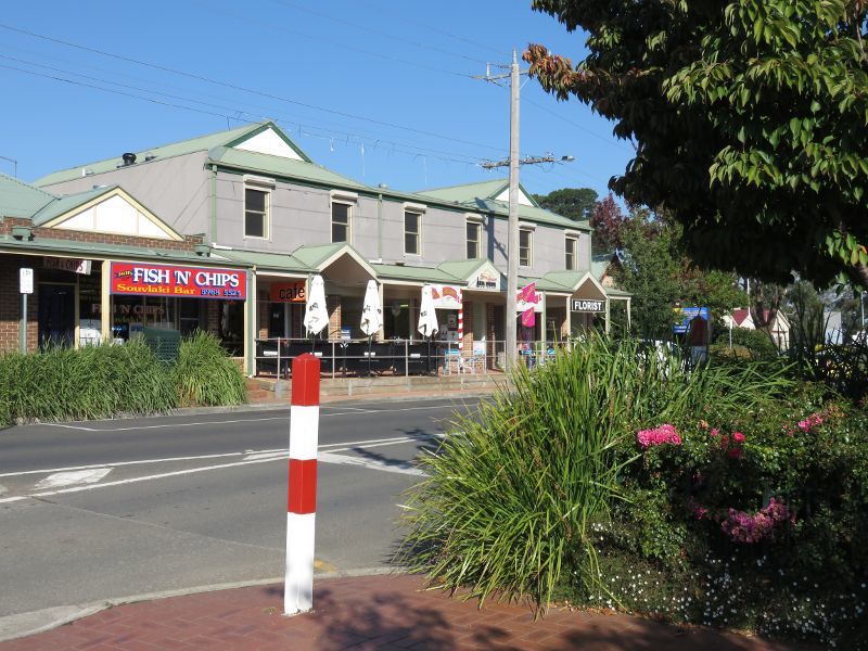
Shops and commercial centre, Kilvington Drive - Shops along Kilvington Dr south of Heroes Av
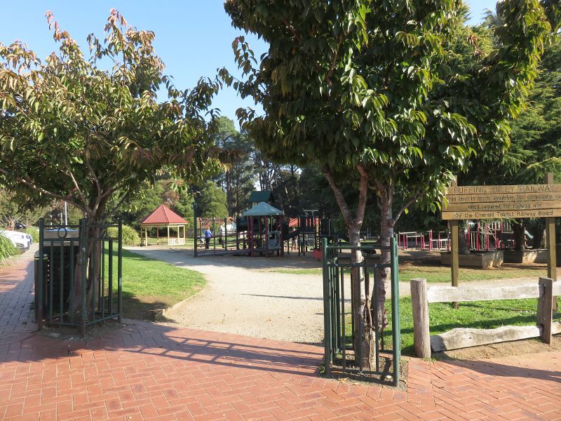
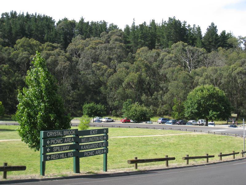
Puffing Billy playground and park, Kilvington Drive - Park entrance, corner Kilvington Dr and Puffing Billy Pl
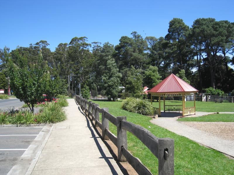
Puffing Billy playground and park, Kilvington Drive - View south through park along Kilvington Dr
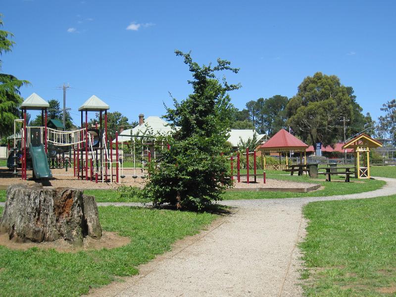
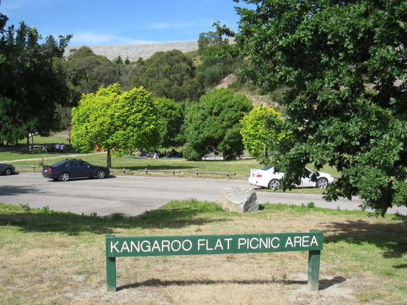
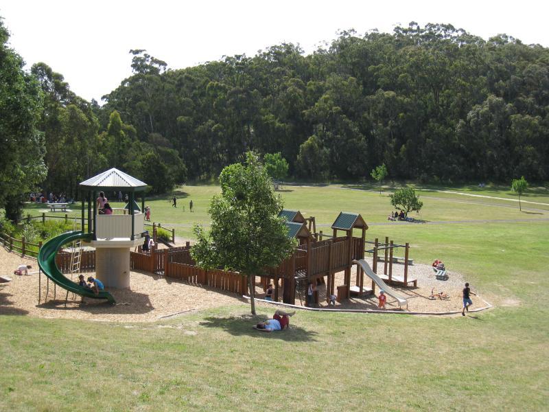
Puffing Billy playground and park, Kilvington Drive - Playground and picnic area
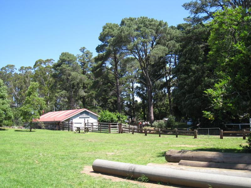
Puffing Billy playground and park, Kilvington Drive - View through park towards Puffing Billy railway line
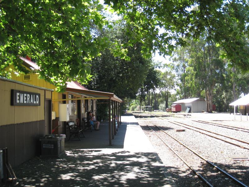
Puffing Billy station in Emerald town centre - View north-east along station platform
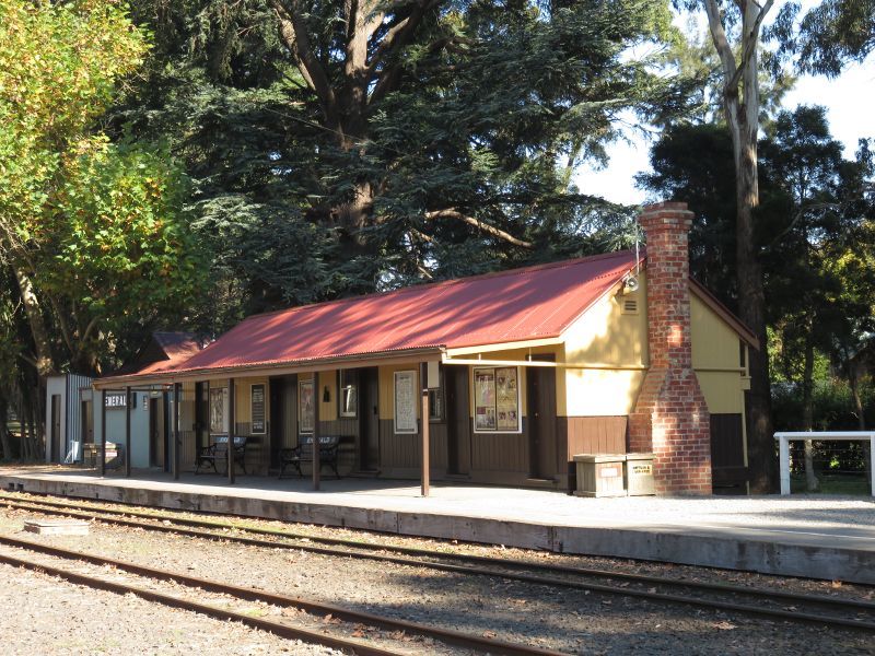
Puffing Billy station in Emerald town centre - View across tracks towards station
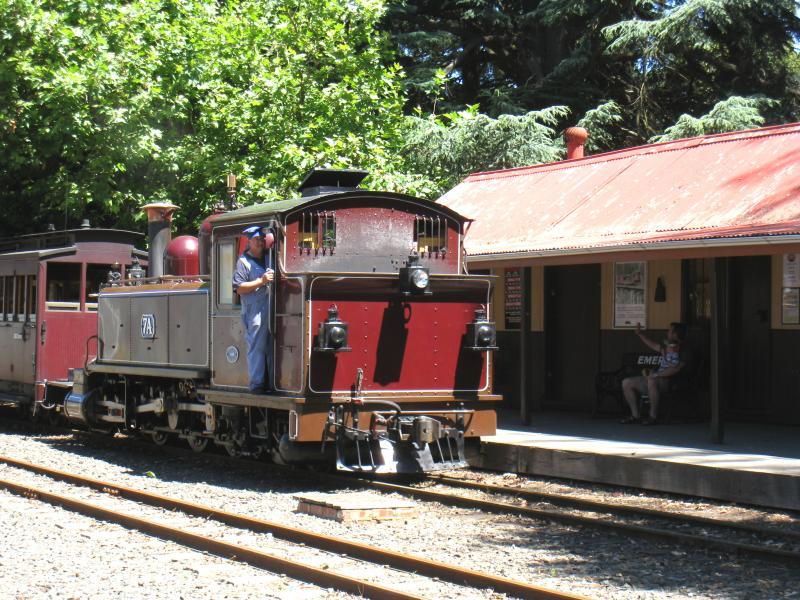
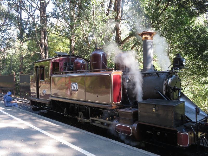
Puffing Billy station in Emerald town centre - Puffing Billy arriving at station
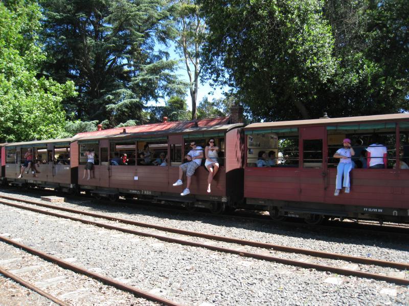
Puffing Billy station in Emerald town centre - Travellers in carriages of Puffing Billy stopped at station
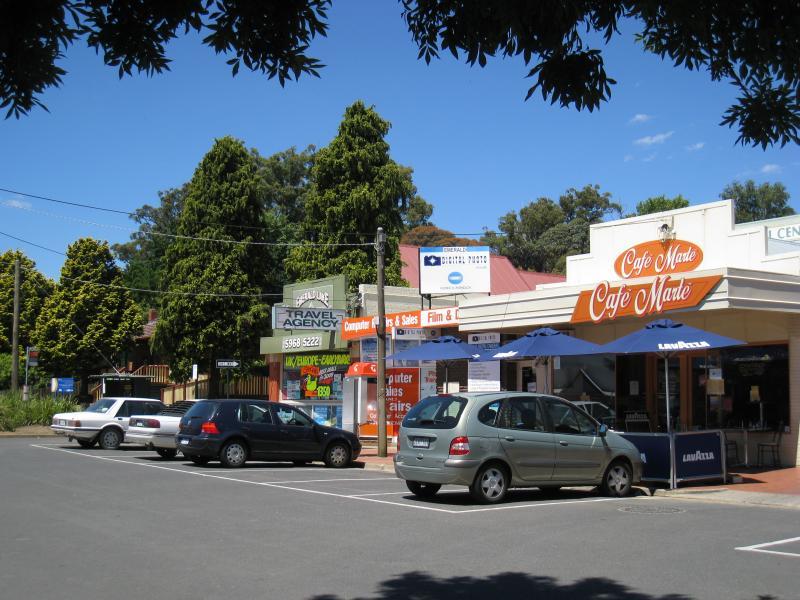
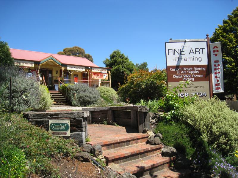
Around Emerald - Gallery and framing studio, Main St
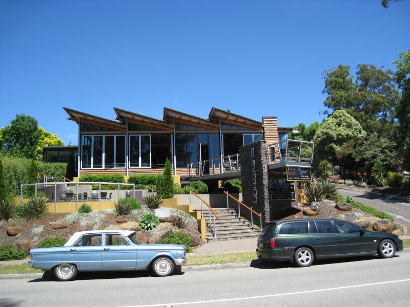
Around Emerald - Elevation restaurant, Main St
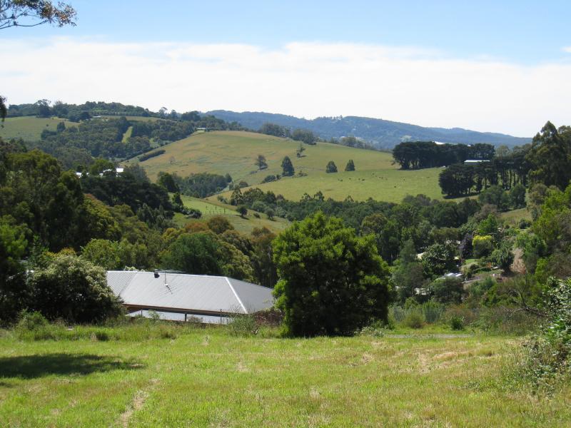
Around Emerald - North-west view towards hills, Main St between Kilvington Dr and Beaconsfield Rd
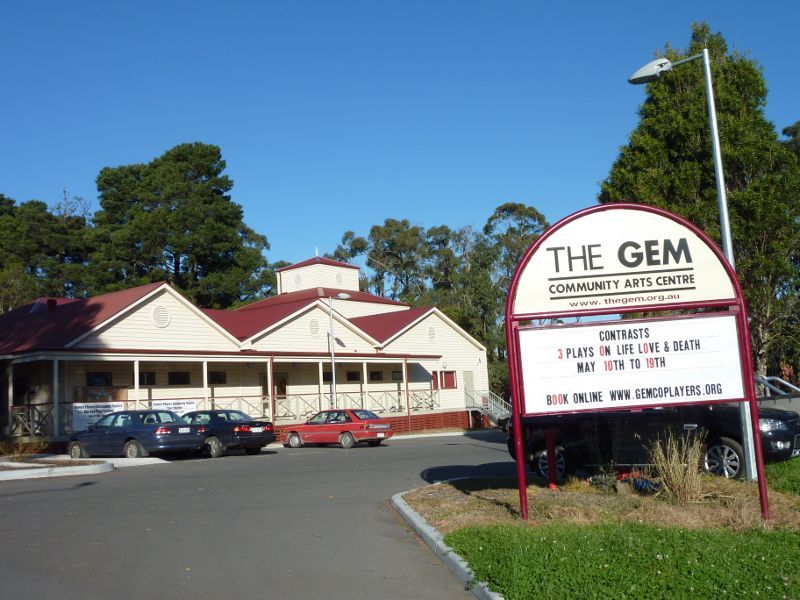
Around Emerald - The Gem Community Arts Centre, Kilvington Dr at railway line
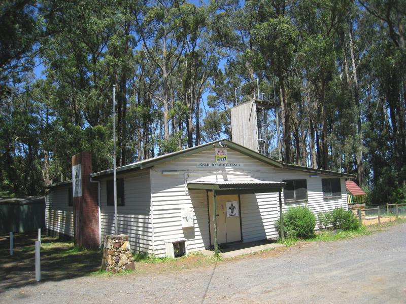
Around Emerald - Scout hall and abseiling tower, Kilvington Dr near Benson St
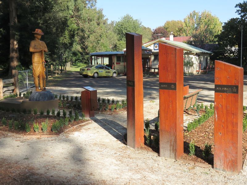
Around Emerald - Unknown Soldier statue at Emerald RSL, Anzac Walk along Memorial Av
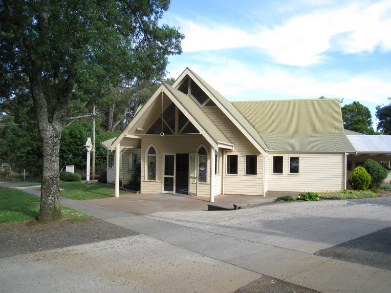
Around Emerald - St Marks church, corner Church St and Memorial Dr
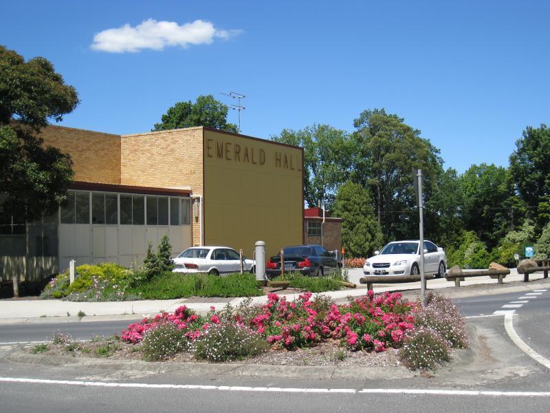
Around Emerald - Emerald Hall, corner Main St and Beaconsfield Rd
Around Emerald - Emerald Library, entrance at car park
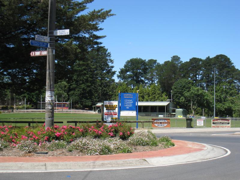
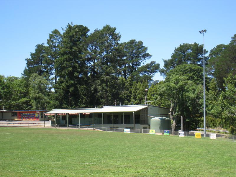
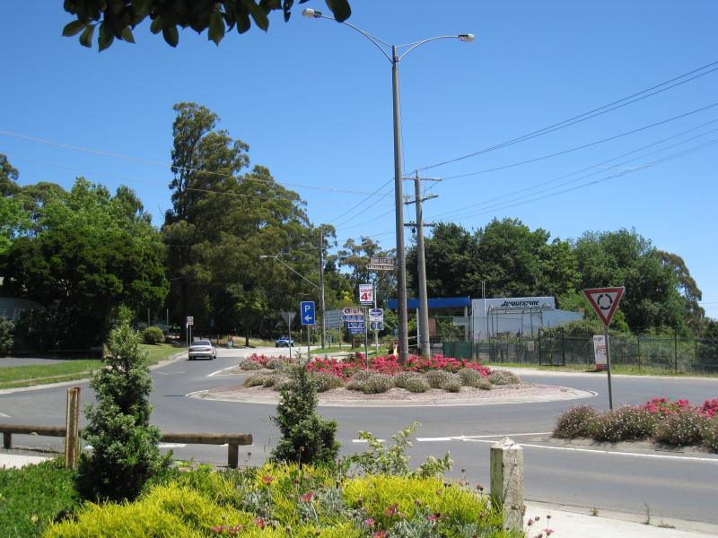
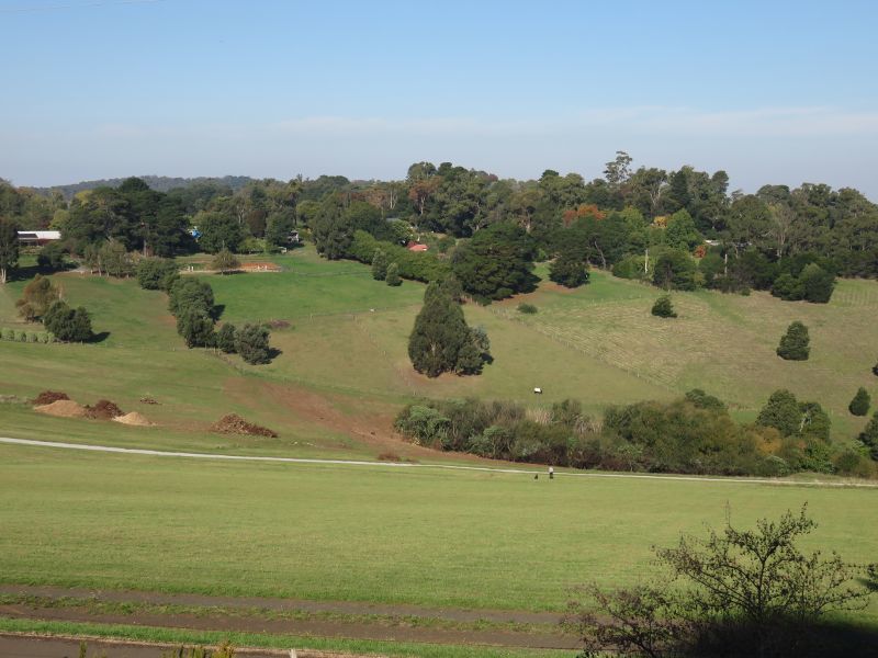
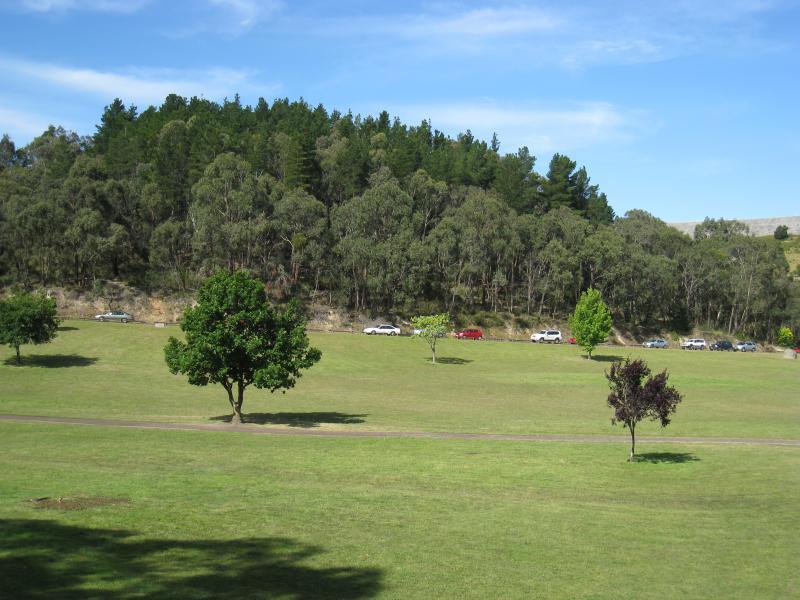
Around Emerald - View east towards Worrell Reserve from Main St at Monbulk Rd
Around Emerald - Worrell Reserve, Main St opposite Monbulk Rd
Shops and commercial centre, Main Street between Beaconsfield Road and Monbulk Road - View south-west along Main St at Beaconsfield Rd
Shops and commercial centre, Main Street between Beaconsfield Road and Monbulk Road - View north-east along Main St at Beaconsfield Rd
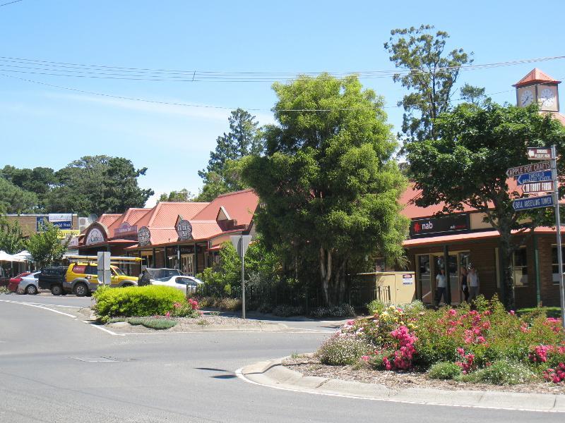
Shops and commercial centre, Main Street between Beaconsfield Road and Monbulk Road - View north along Main St between Beaconsfield Rd and Monbulk Rd
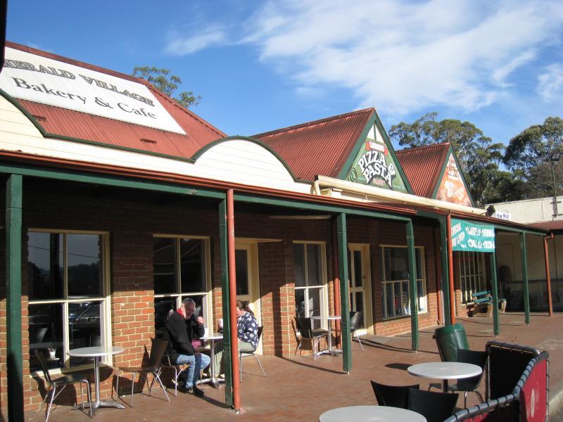
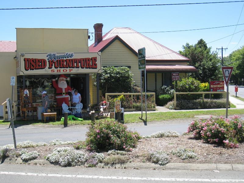
Shops and commercial centre, Main Street between Beaconsfield Road and Monbulk Road - Shops along west side of Main St between Beaconsfield Rd and Monbulk Rd
Shops and commercial centre, Main Street between Beaconsfield Road and Monbulk Road - Shops along west side of Main St between Beaconsfield Rd and Monbulk Rd
Shops and commercial centre, Main Street between Beaconsfield Road and Monbulk Road - Shops at corner of Main St and Monbulk Rd
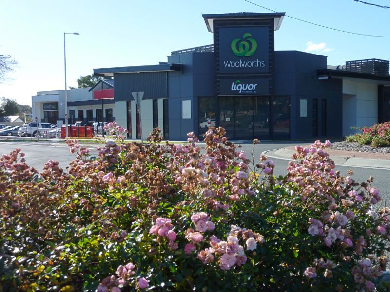
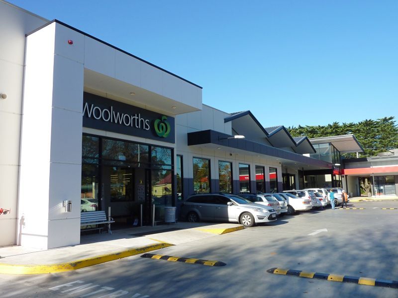
Shops and commercial centre, Main Street between Beaconsfield Road and Monbulk Road - Woolworths supermarket, corner Main St and Monbulk Rd
Shops and commercial centre, Main Street between Beaconsfield Road and Monbulk Road - Car park at Woolworths fronting Monbulk Rd
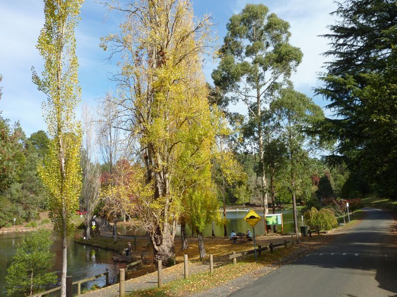
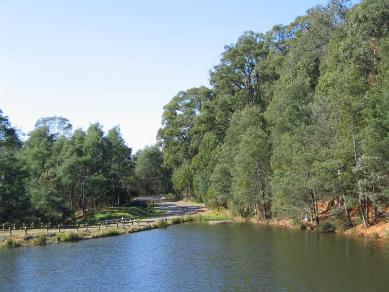
Emerald Lake Park - Access road along northern side of Lake Treganowan
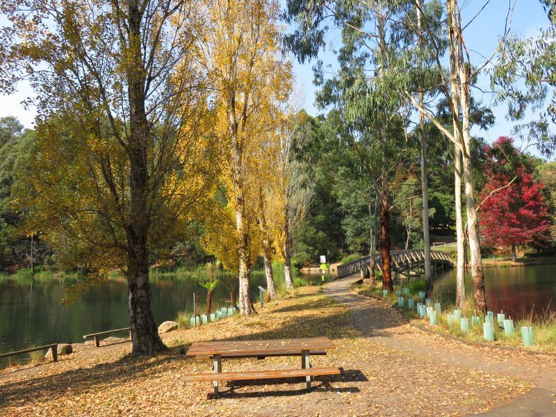
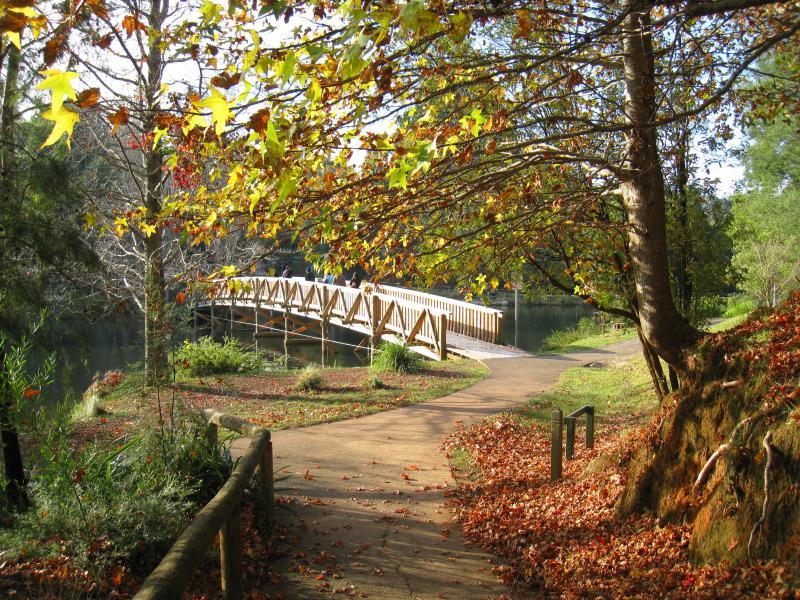
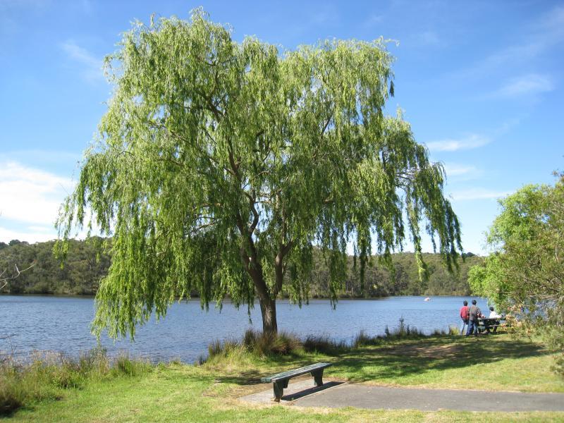
Emerald Lake Park - View south towards footbridge over Lake Treganowan
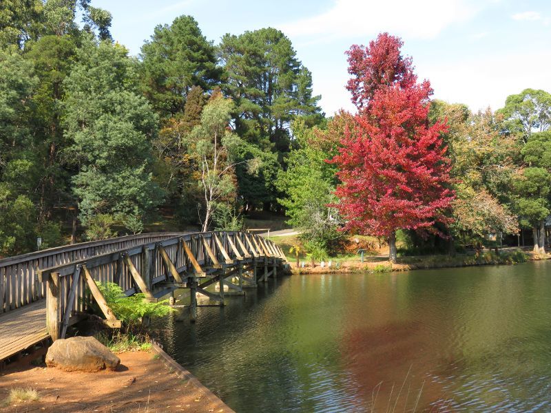
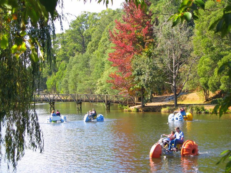
Emerald Lake Park - View south along footbridge over Lake Treganowan
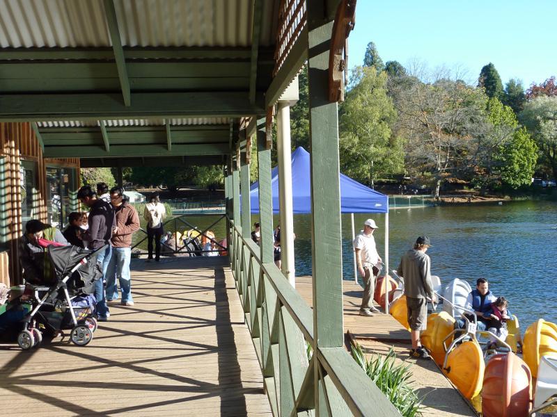
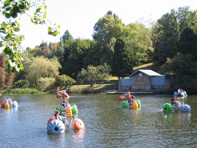
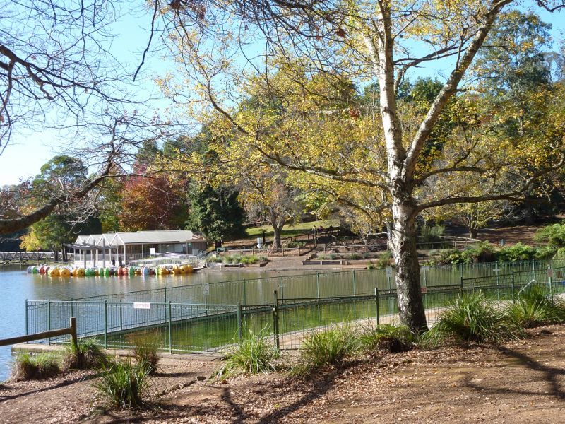
Emerald Lake Park - Information centre and water bikes at Lake Treganowan
Emerald Lake Park - Water bikes dock at information centre
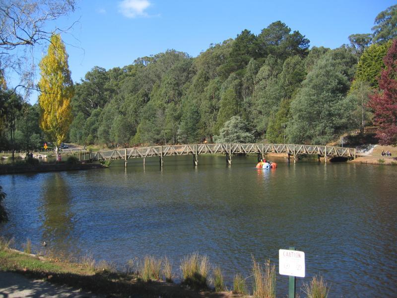
Emerald Lake Park - View north towards footbridge over Lake Treganowan
Emerald Lake Park - View over Lake Treganowan towards footbridge
Emerald Lake Park - View of northern arm of Lake Treganowan from footbridge
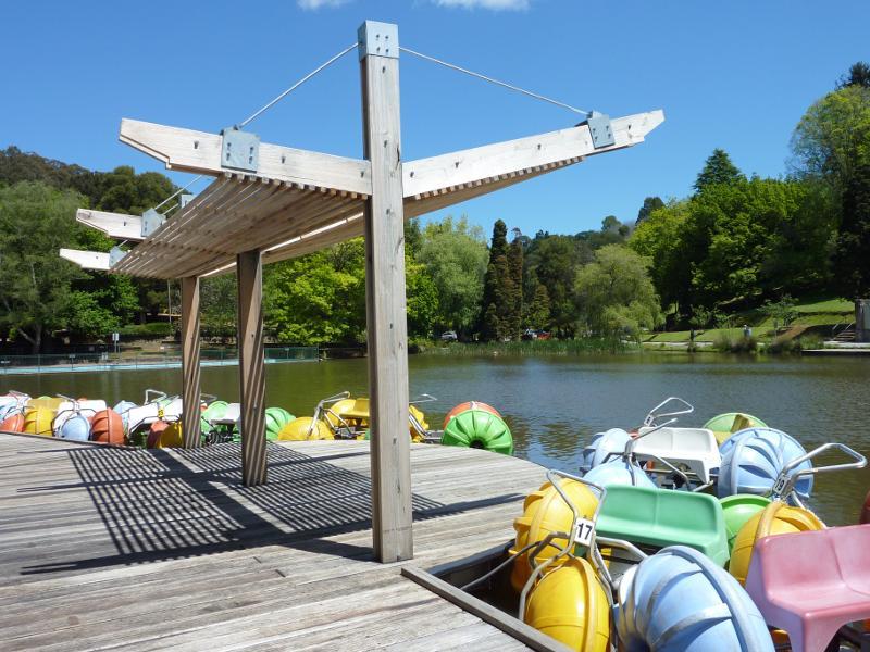
Emerald Lake Park - Water bikes on Lake Treganowan near footbridge
Emerald Lake Park - View south-west along Lake Treganowan from footbridge
Emerald Lake Park - Water bikes on Lake Treganowan in front of information centre
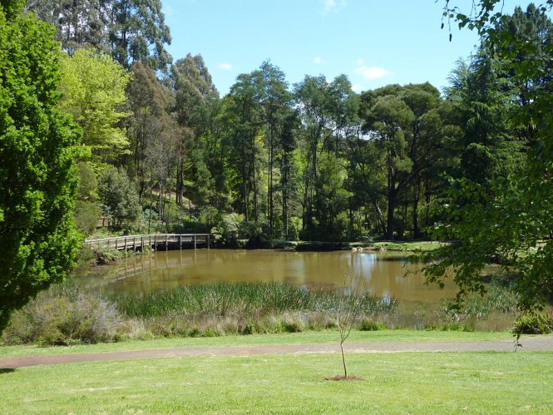
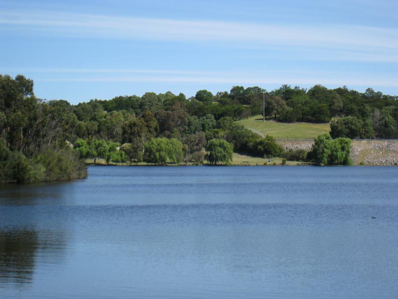
Emerald Lake Park - View south-west along Lake Treganowan
Emerald Lake Park - View east across Lake Treganowan
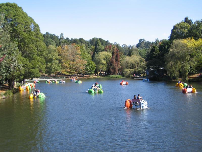
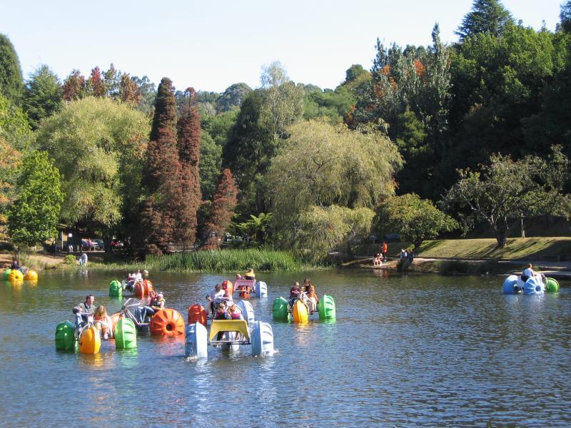
Emerald Lake Park - Water bikes on Lake Treganowan
Emerald Lake Park - Water bikes at south-western arm of Lake Treganowan
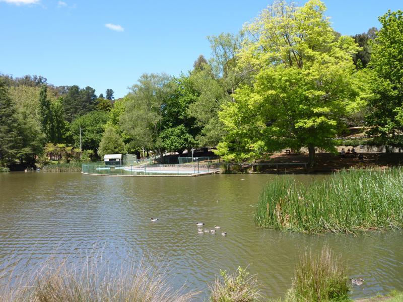
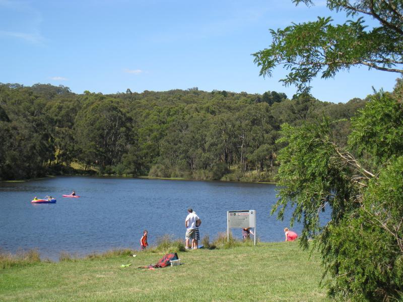
Emerald Lake Park - View across Lake Treganowan towards wading pool
Emerald Lake Park - View across Lake Treganowan from wading pool
Emerald Lake Park - View across Lake Treganowan at wading pool
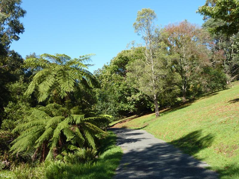
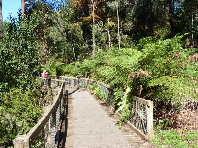
Emerald Lake Park - Ferns and walking track at south-eastern end of Lake Treganowan
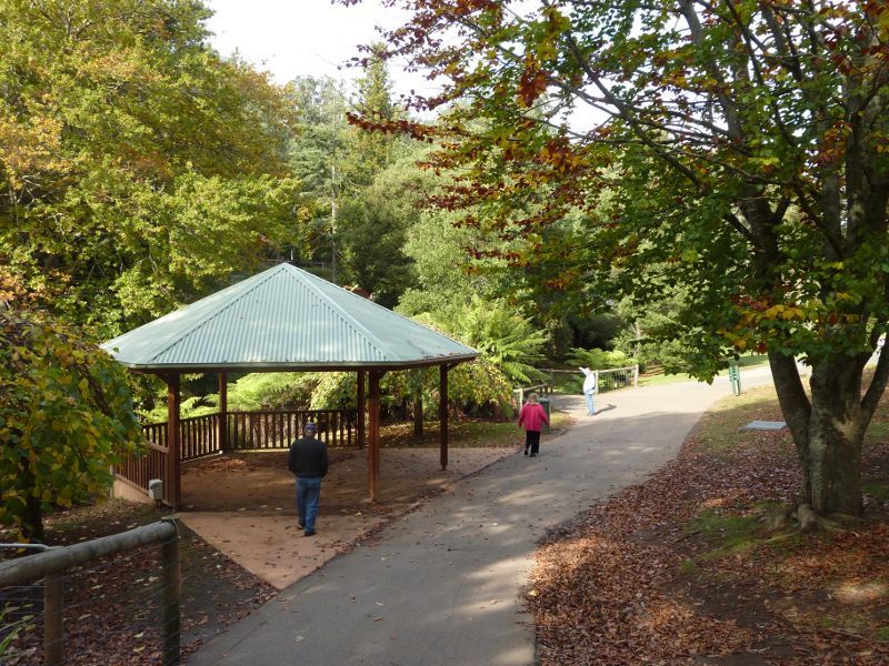
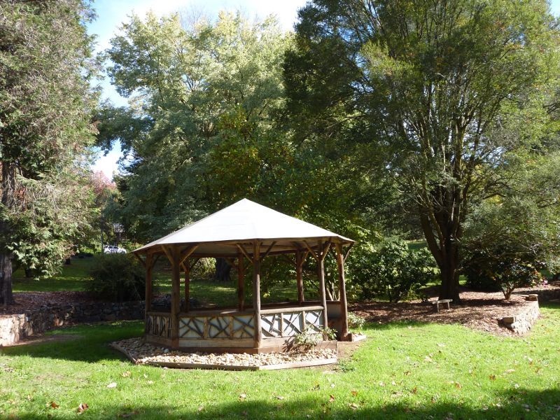
Emerald Lake Park - Rotunda at south-eastern end of Lake Treganowan
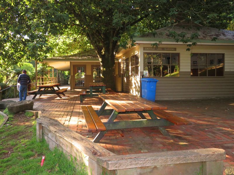
Emerald Lake Park - Outdoor seating at cafe and tea rooms
Emerald Lake Park - Cafe and tea rooms
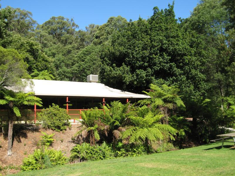
Emerald Lake Park - Toilets across the creek from cafe
Emerald Lake Park - Start of Nobelius Lake Loop track across the creek from cafe
Emerald Lake Park - Walking track along creek near cafe
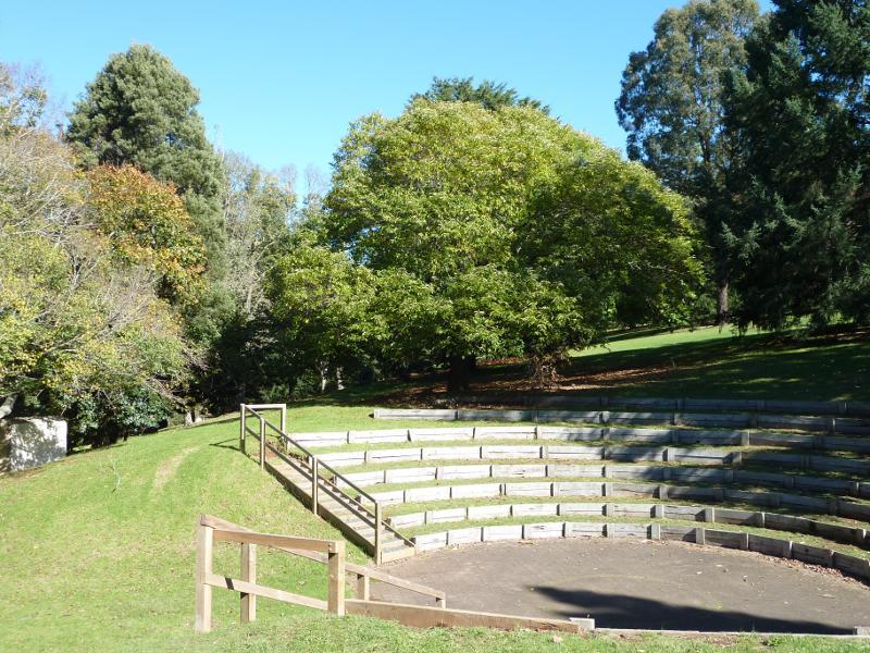
Emerald Lake Park - Gus Ryberg Amphitheatre on northern side of lake
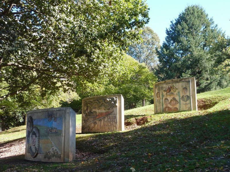
Emerald Lake Park - Murals depicting local history and Puffing Billy near Gus Ryberg Amphitheatre
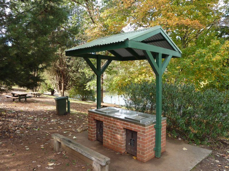
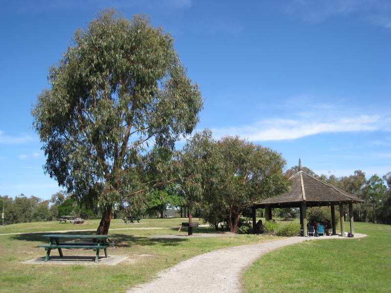
Emerald Lake Park - BBQ and picnic area near murals
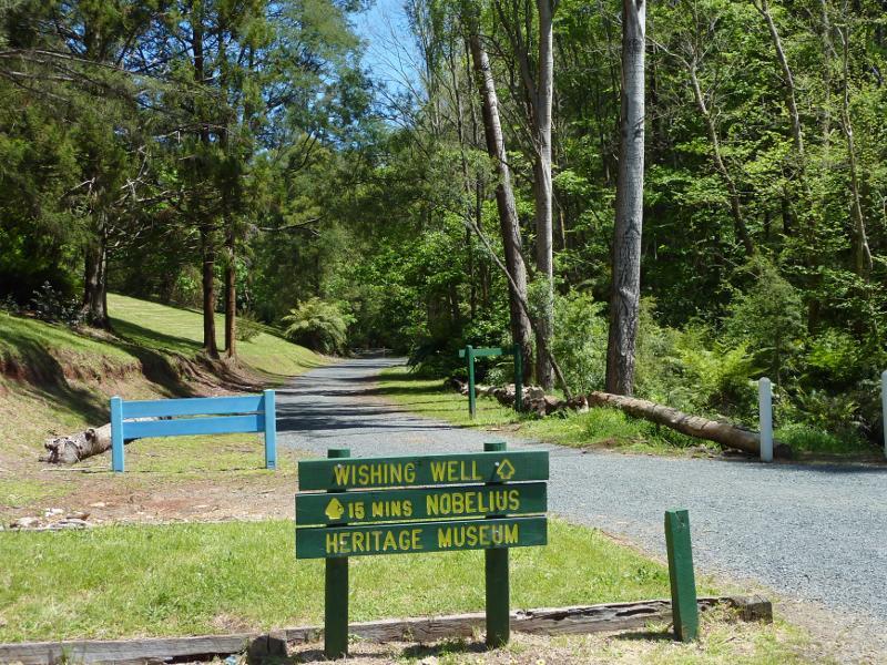
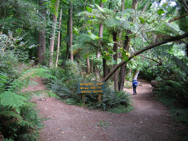
Emerald Lake Park - Start of path between main car park and wishing well
Emerald Lake Park - Start of track to wishing well
Emerald Lake Park - View down hill towards track to wishing well
Emerald Lake Park - Fern-lined path to wishing well
Emerald Lake Park - Path to wishing well
Emerald Lake Park - Junction of path to wishing well and Nobelius Heritage Park
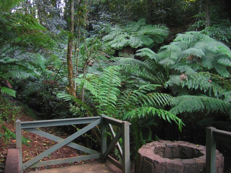
Emerald Lake Park - Wishing well
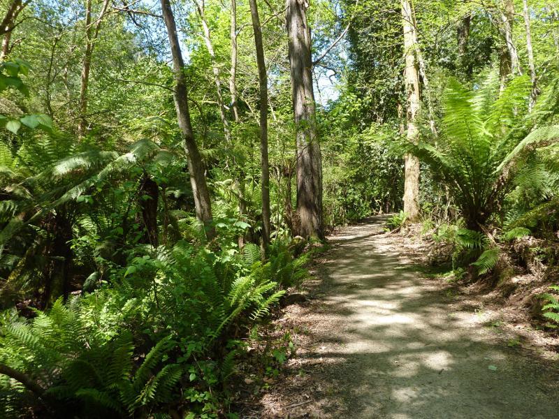
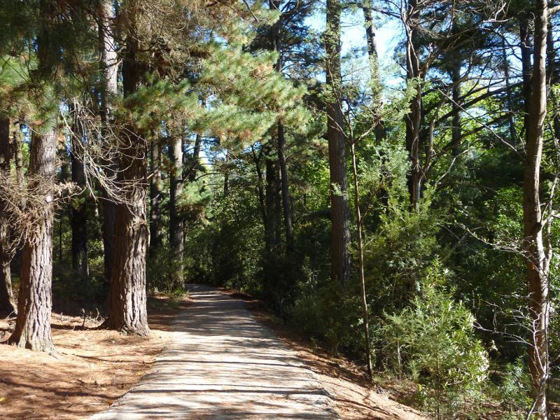
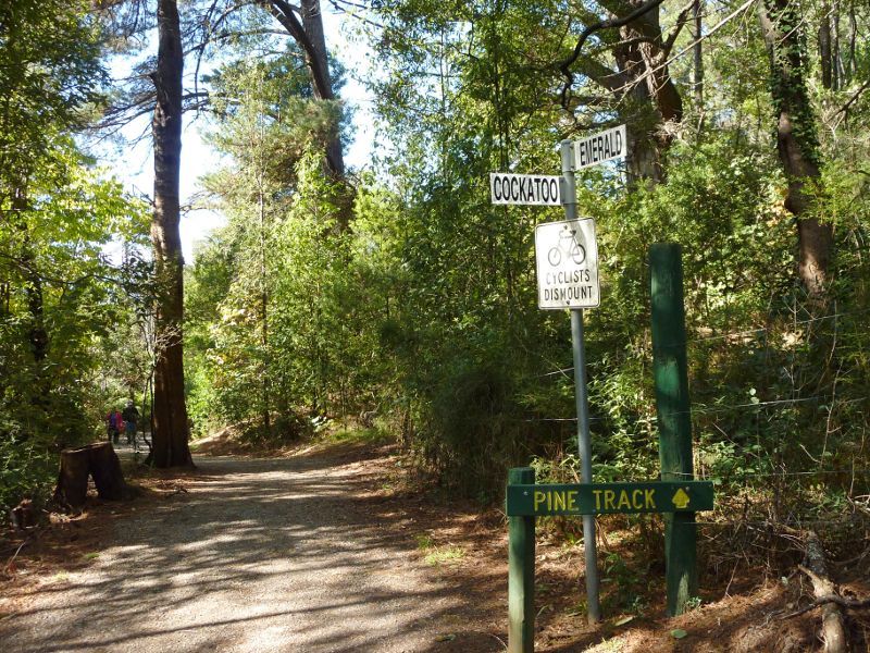
Emerald Lake Park - Walking track through pine plantation
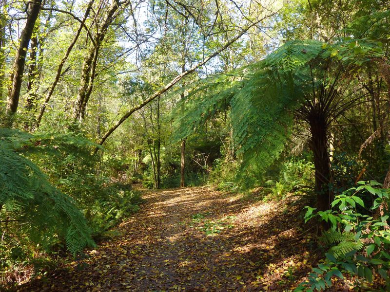
Emerald Lake Park - Walking track between pine plantation and Nobelius Heritage Park
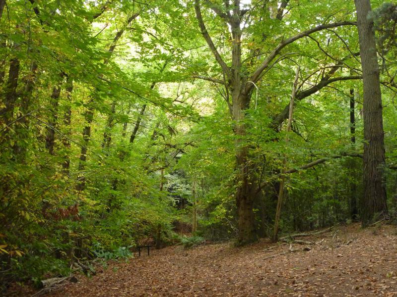
Emerald Lake Park - Track near Nobelius Heritage Park
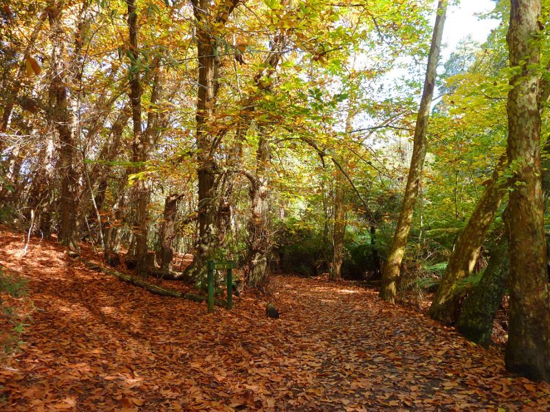
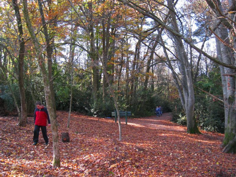
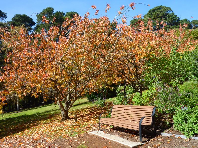
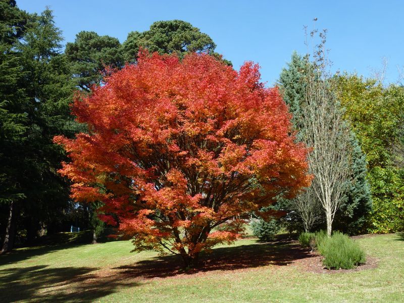
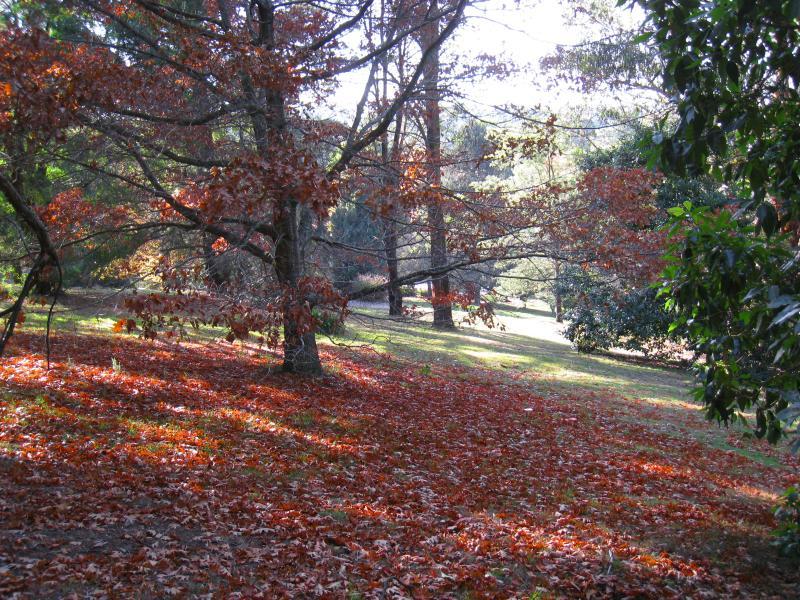
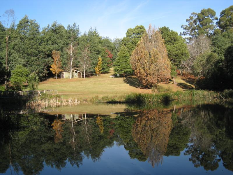
Emerald Lake Park - Autumn colours near Nobelius Heritage Park
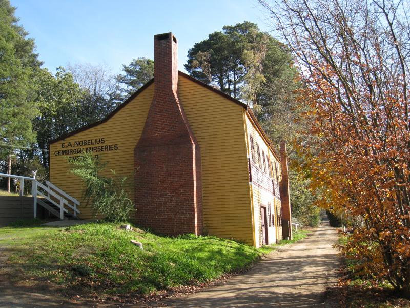
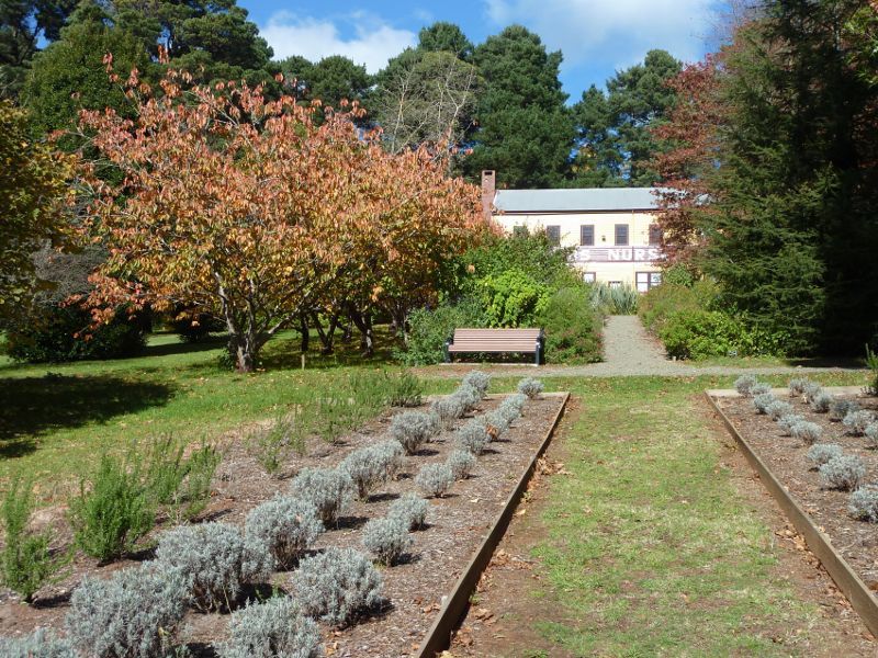
Emerald Lake Park - View west towards Nobelius Nurseries building (Nobelius Siding station)
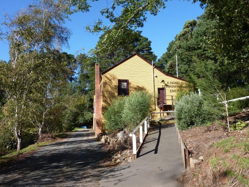
Emerald Lake Park - View east towards Nobelius Nurseries building (Nobelius Siding station)
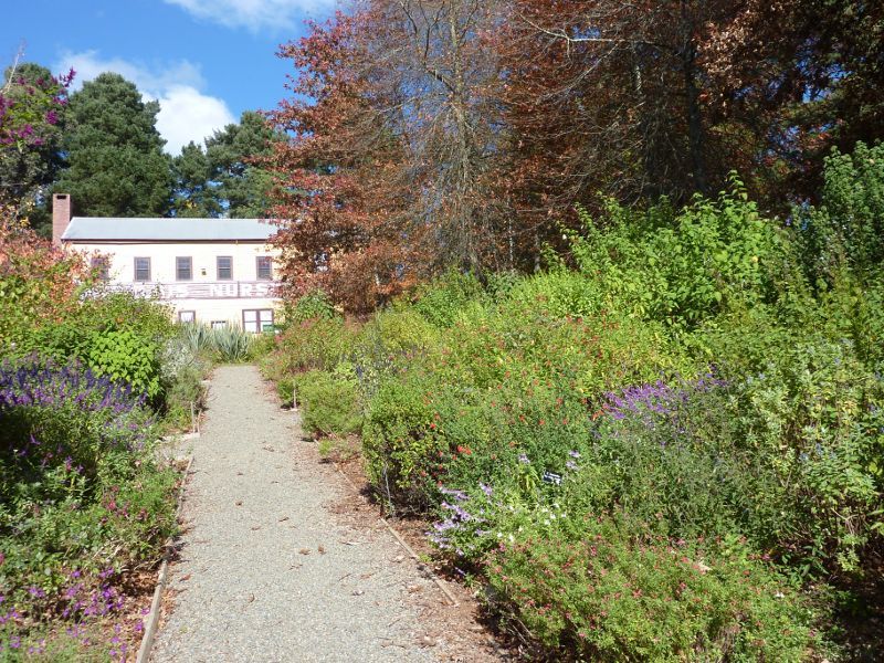
Emerald Lake Park - View through Salvia Display Garden towards Nobelius Nurseries building
Emerald Lake Park - Salvia Display Garden
Emerald Lake Park - View through Salvia Display Garden towards Nobelius Nurseries building
Emerald Lake Park - Seating at bottom of Salvia Display Garden
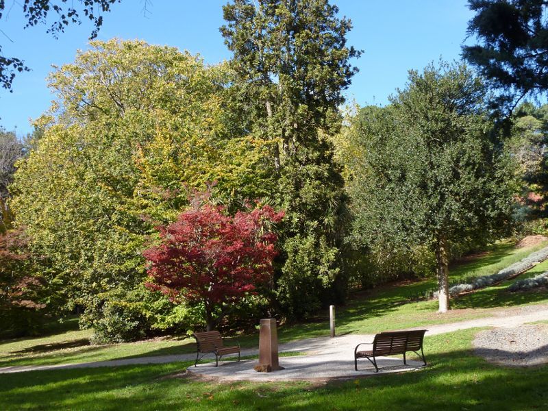
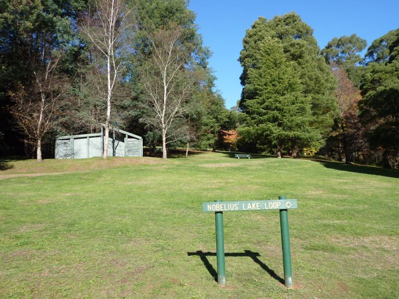
Emerald Lake Park - Nobelius Heritage Park
Emerald Lake Park - Nobelius Heritage Park
Emerald Lake Park - Nobelius Heritage Park
Emerald Lake Park - Nobelius Heritage Park
Emerald Lake Park - Rotunda at Nobelius Heritage Park
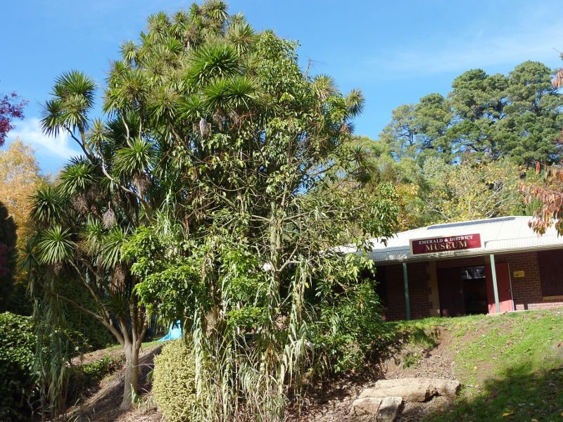
Emerald Lake Park - Emerald & District Museum at Nobelius Heritage Park
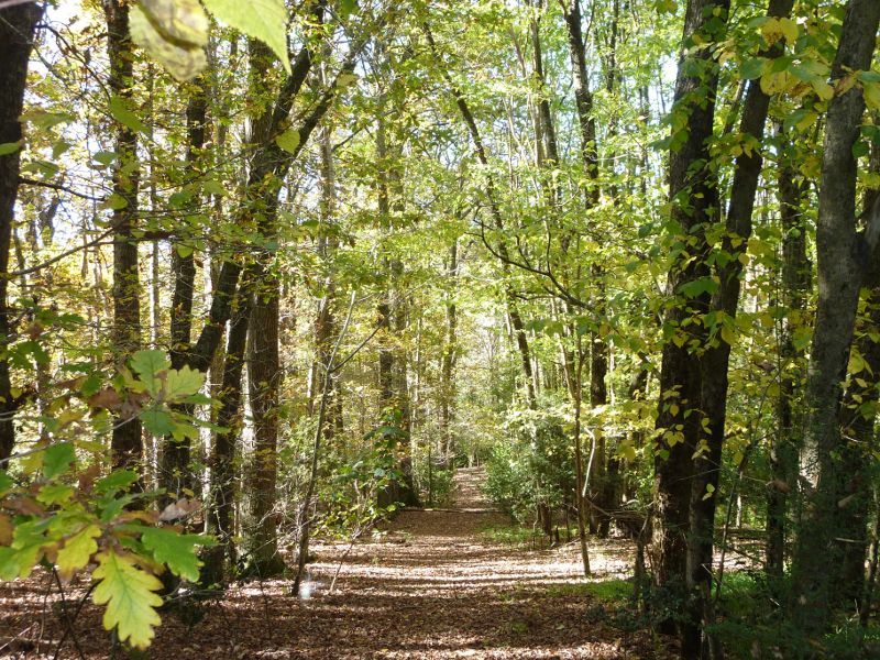
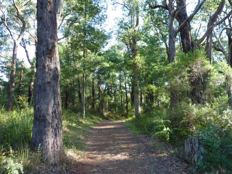
Emerald Lake Park - Forest view from pathway along Puffing Billy railway line
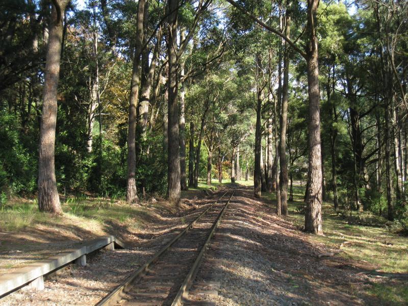
Emerald Lake Park - Pathway along Puffing Billy railway line
Emerald Lake Park - Puffing Billy railway line at Nobelius station platform
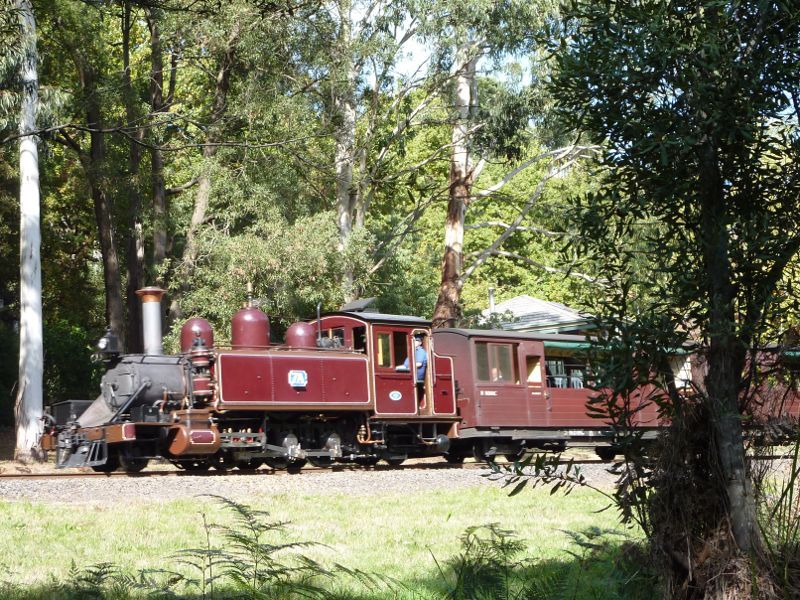
Emerald Lake Park - Puffing Billy train near Nobelius station
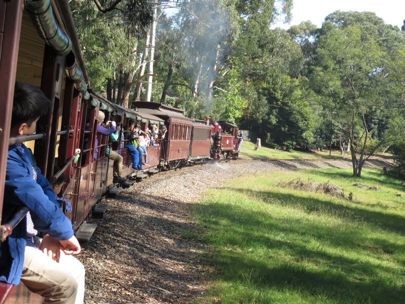
Emerald Lake Park - Puffing Billy through park
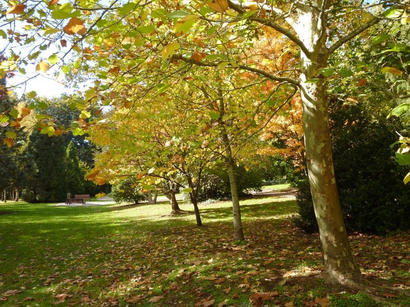
Emerald Lake Park - Autumn colours in parkland near Puffing Billy railway line
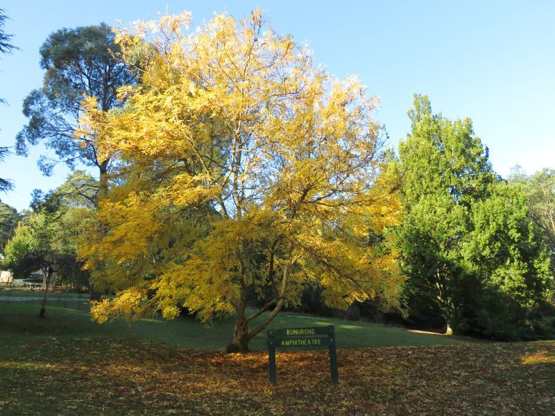
Emerald Lake Park - Trees at Bunurong Amphitheatre
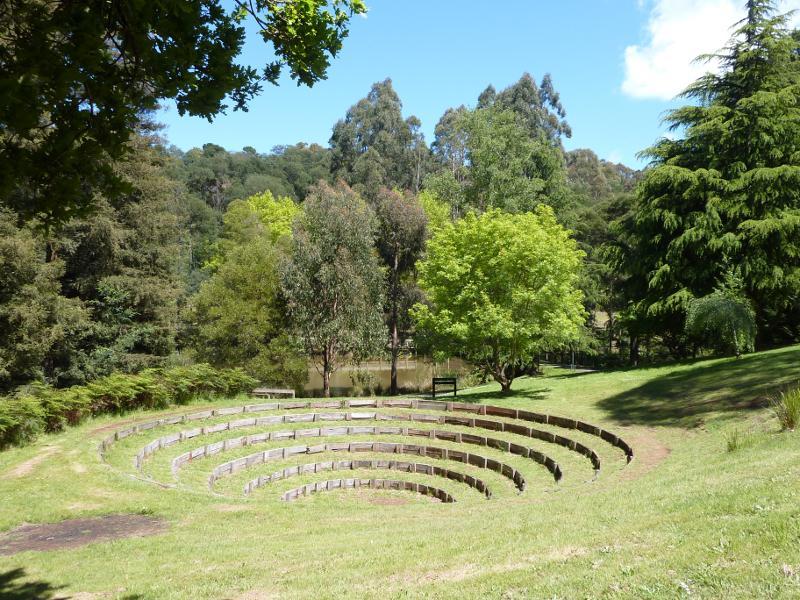
Emerald Lake Park - Bunurong Amphitheatre overlooking Lake Nobelius
Emerald Lake Park - Walking track near Lake Nobelius
Emerald Lake Park - Bridge at south-eastern end of Lake Nobelius
Emerald Lake Park - Boardwalk along Lake Nobelius
Emerald Lake Park - Bridge at edge of Lake Nobelius
Emerald Lake Park - Pathway approaching bridge at edge of Lake Nobelius
Emerald Lake Park - View across Lake Nobelius
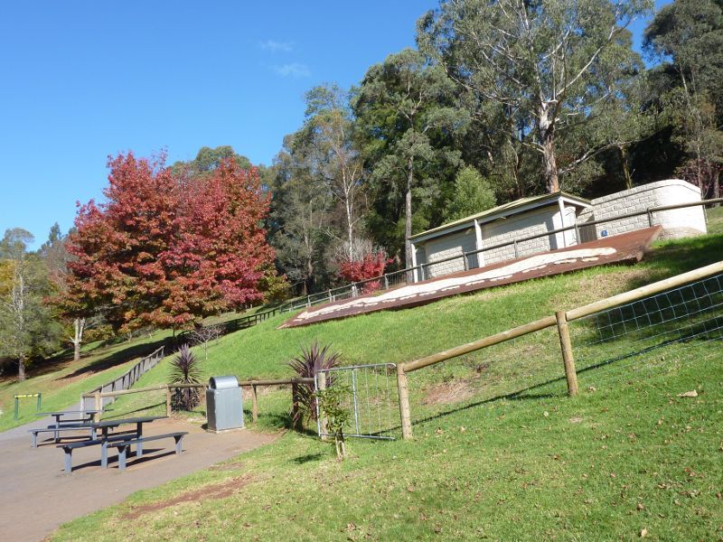
Emerald Lake Park - Toilets at south-eastern corner of Lake Nobelius
Emerald Lake Park - View across Lake Nobelius from toilets
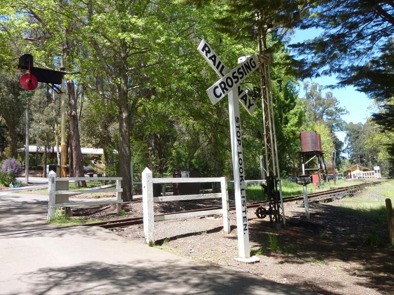
Emerald Lake Park - Puffing Billy railway crossing on north side of Lakeside station
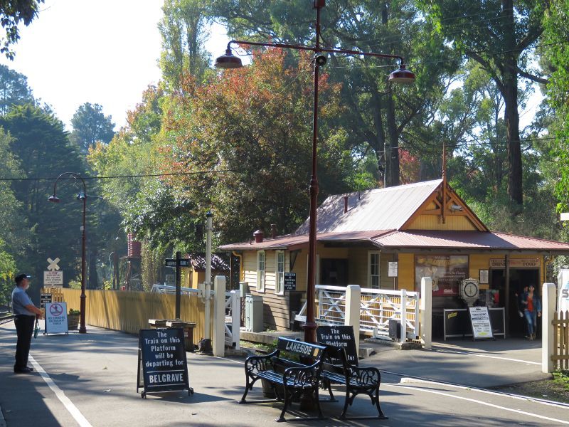
Emerald Lake Park - Lakeside station
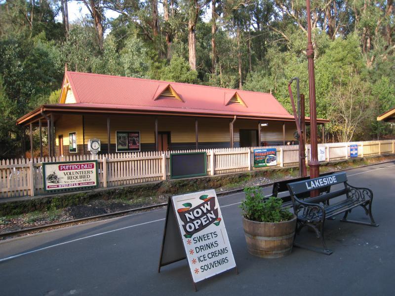
Emerald Lake Park - Platform at Lakeside station
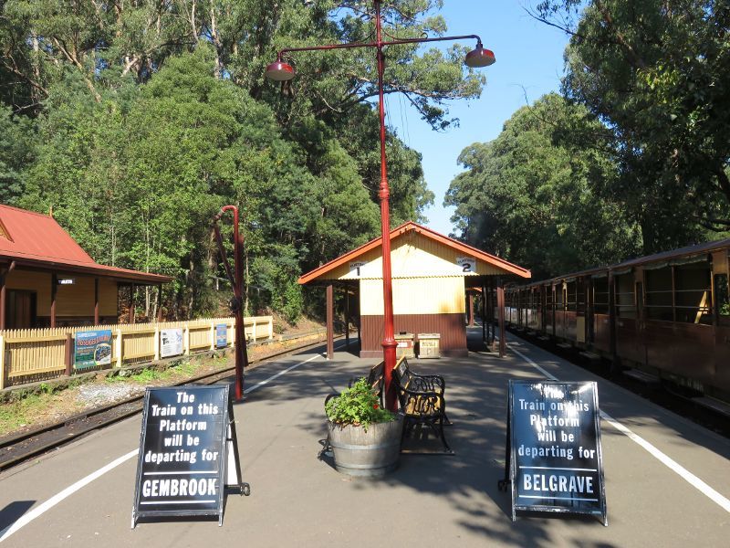
Emerald Lake Park - View south along platform of Lakeside Station
Emerald Lake Park - Puffing Billy at Lakeside Station
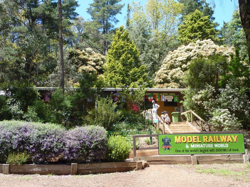
Emerald Lake Park - Entrance to working model railway building
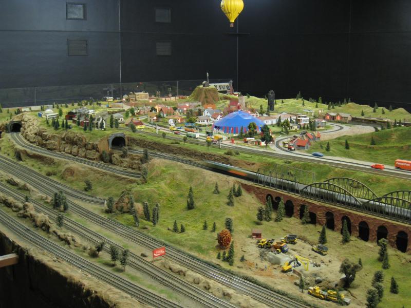
Emerald Lake Park - Model railway
Emerald Lake Park - Model railway
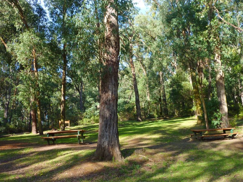
Emerald Lake Park - BBQ and picnic area near model railway
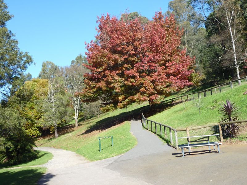
Emerald Lake Park - Walking track near Bellbird Picnic Area
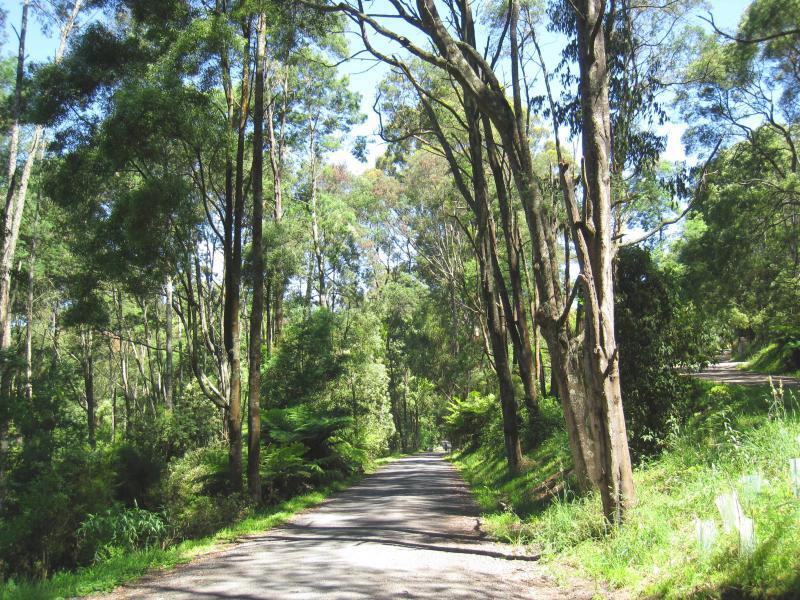
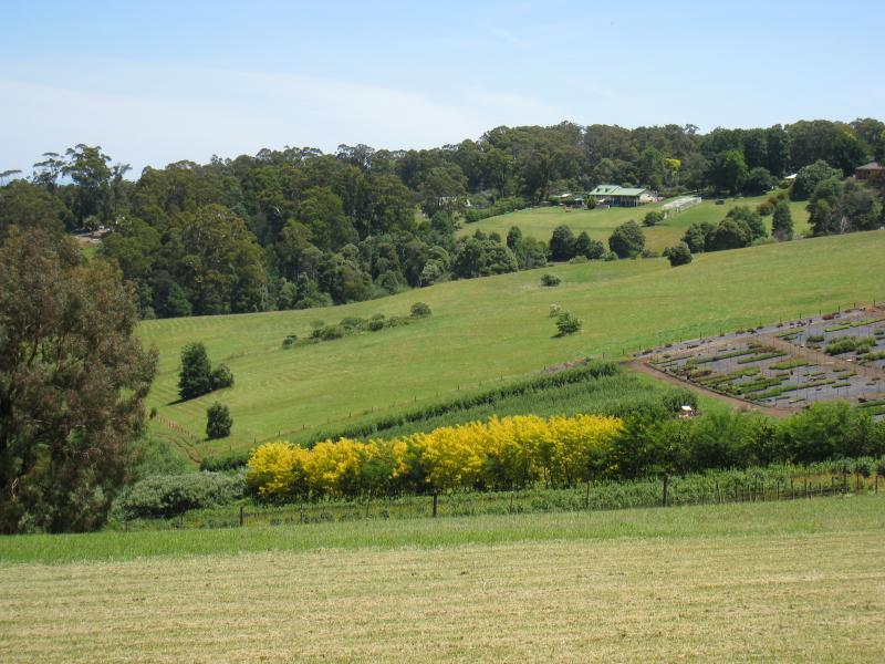
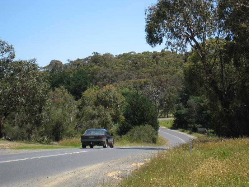
Monbulk Road - Westerly view near Meadowvale La
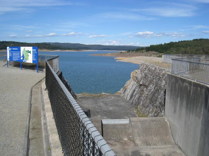
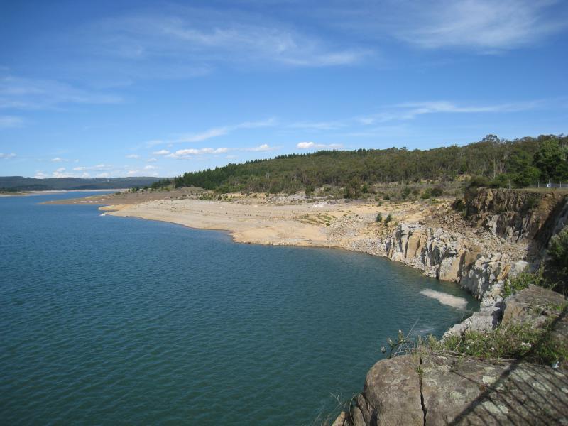
Avard Road - View south along Avard Rd at northern end
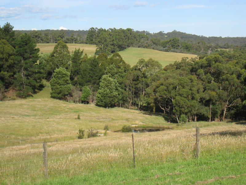
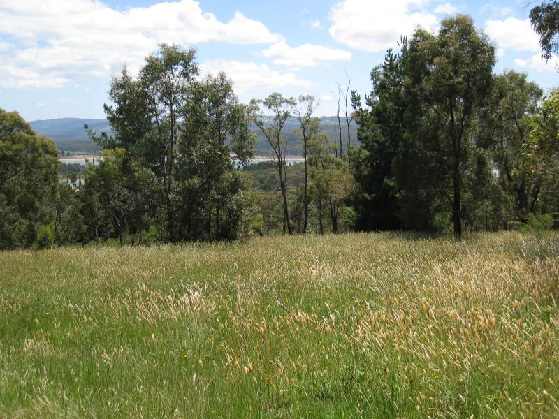
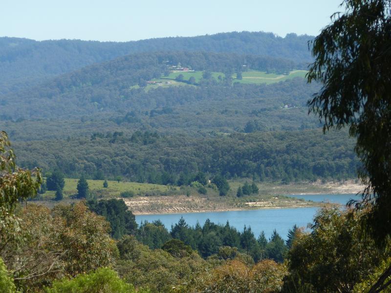
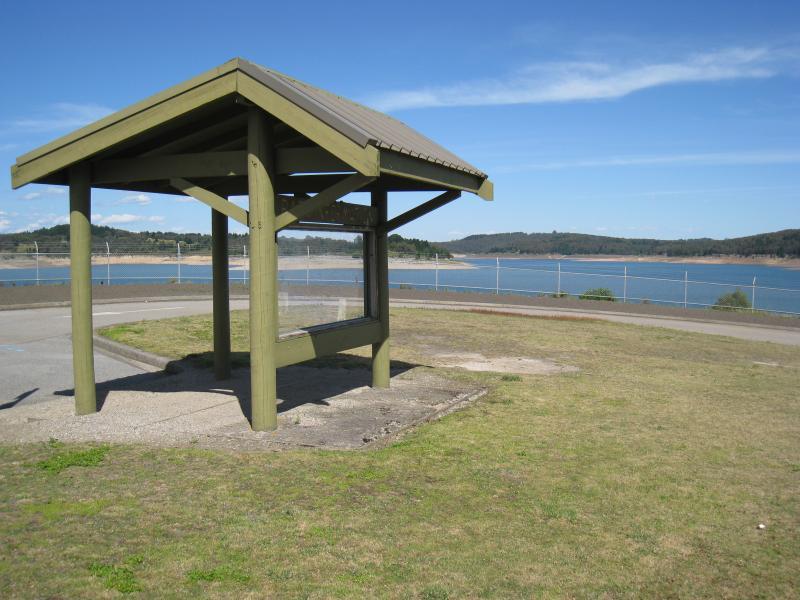
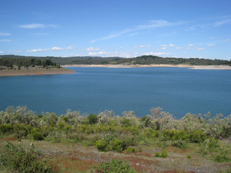
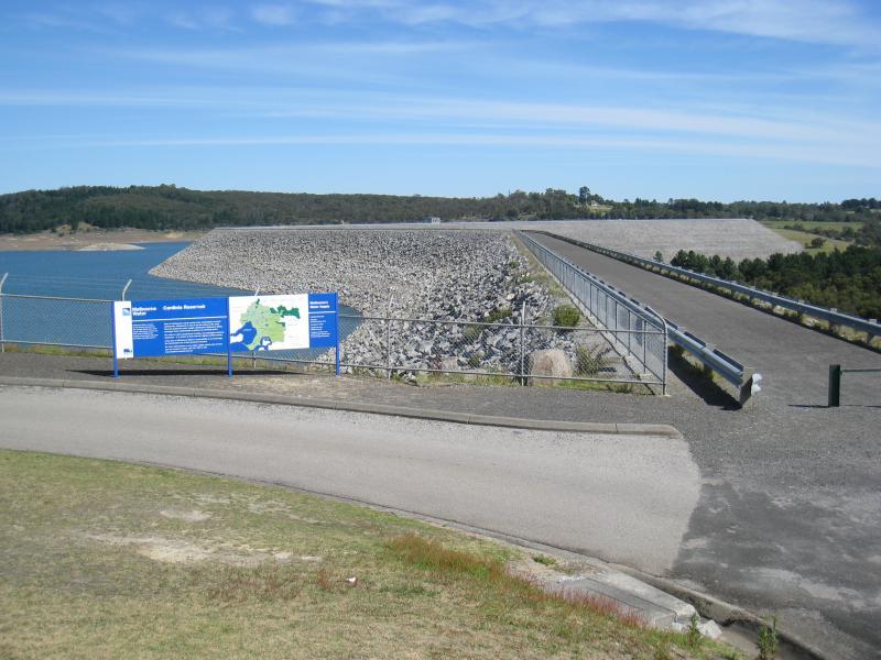
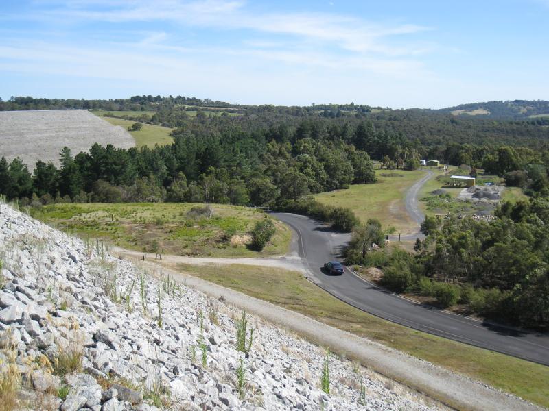
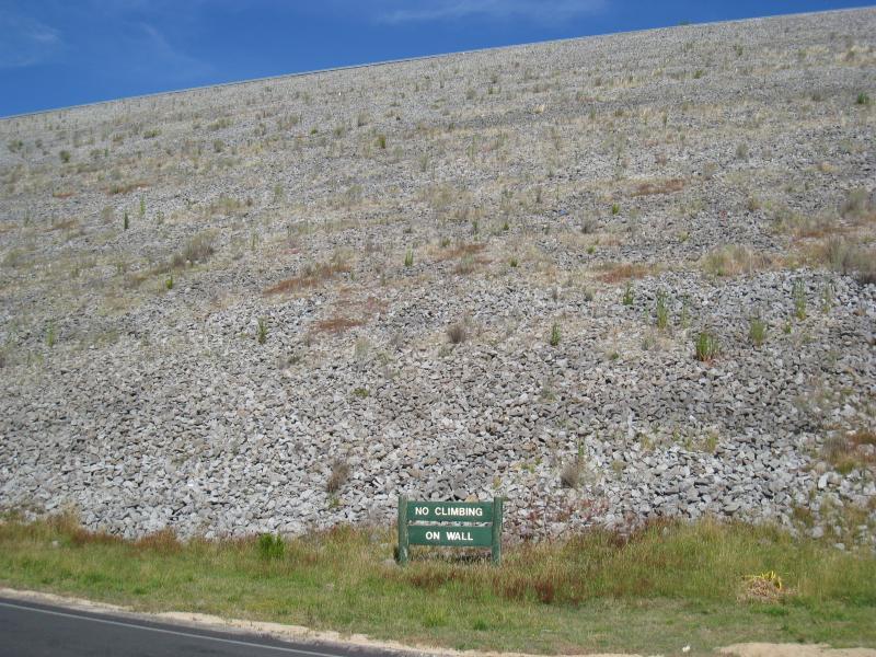
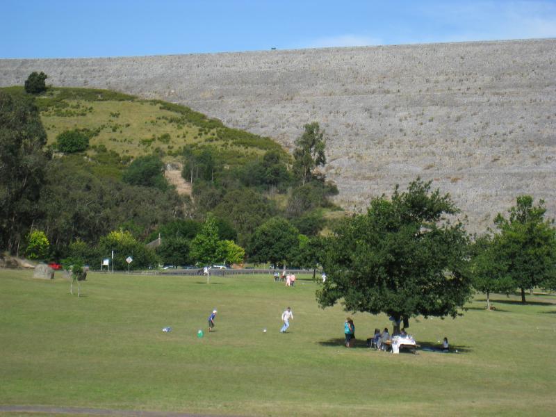
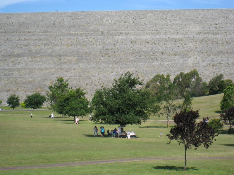
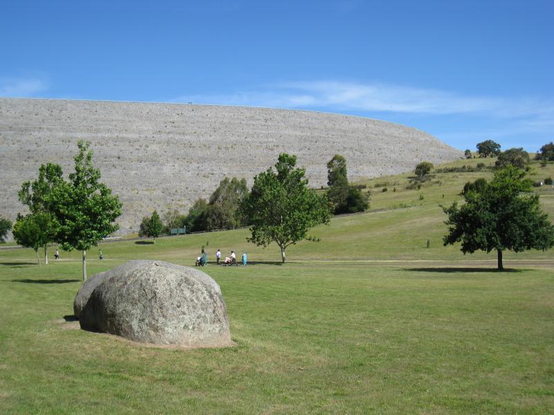
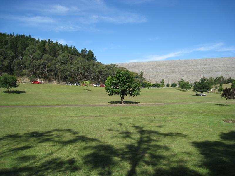
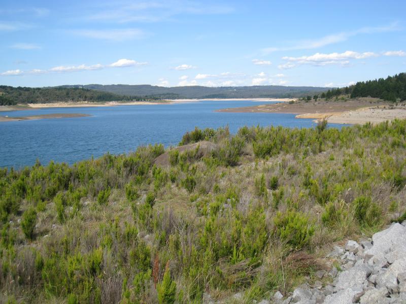
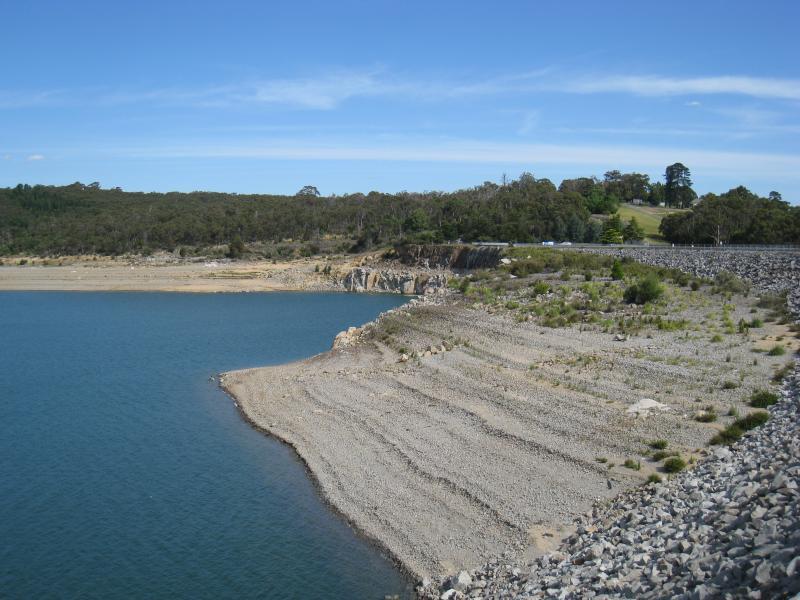
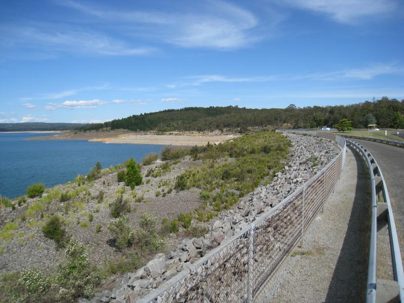
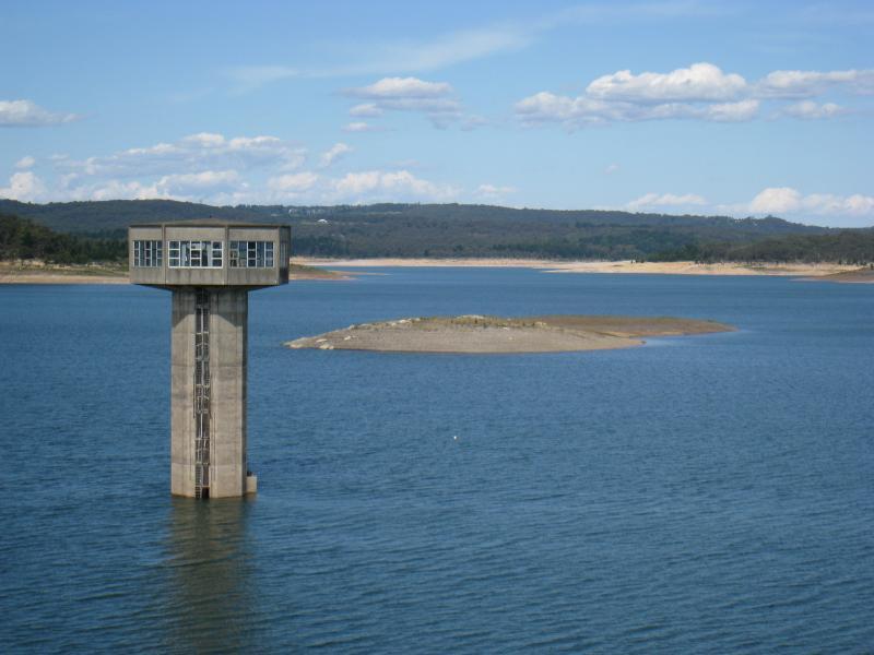
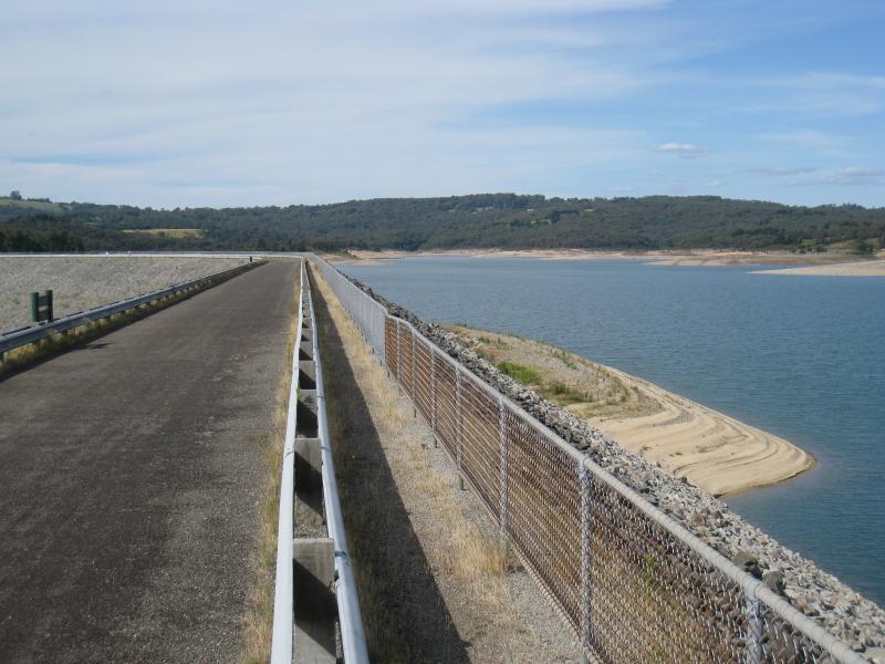
Avard Road - Northerly view across dam at southern end of Avard Rd
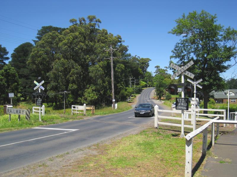
Beaconsfield - Emerald Road and surroundings - View south-east along Beaconsfield-Emerald Rd at Puffing Billy railway crossing
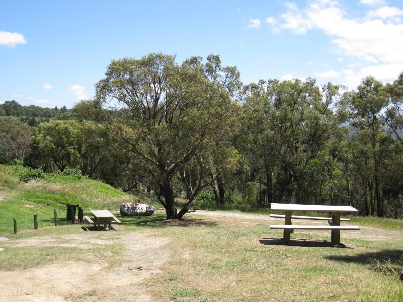
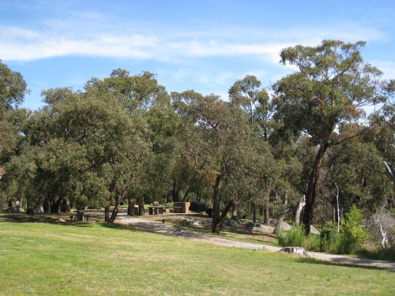
Beaconsfield - Emerald Road and surroundings - Park beside Puffing Billy railway
Beaconsfield - Emerald Road and surroundings - Park beside Puffing Billy railway
Beaconsfield - Emerald Road and surroundings - Westerly view near Puffing Billy railway crossing
Beaconsfield - Emerald Road and surroundings - South-westerly view south of Station Av