Heathcote - public transport
Heathcote
Stay
See and do
Food and drink
Shopping
Getting around
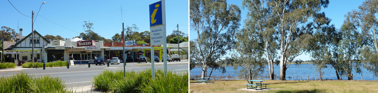
Visitor information
Train
Bendigo, Eaglehawk, Epsom, Kangaroo Flat stations
(47 km away)
| Line | Operator | Timetable and stops | Map |
|---|---|---|---|
| Bendigo |  |
Bendigo - Melbourne Via Epsom or Eaglehawk, Bendigo, Kangaroo Flat, Castlemaine, Malmsbury, Kyneton, Woodend, Macedon, Gisborne, Riddells Creek, Clarkefield, Sunbury, Watergardens, Footscray, Southern Cross |
|
| Echuca | |
Echuca - Melbourne Via Echuca, Rochester, Elmore, Goornong, Huntly, Epsom, Bendigo, Kangaroo Flat, Castlemaine, Malmsbury, Kyneton, Woodend, Macedon, Gisborne, Riddells Creek, Clarkefield, Sunbury, Footscray, Southern Cross |
|
| Swan Hill | |
Swan Hill - Melbourne Via Swan Hill, Kerang, Pyramid, Dingee, Raywood, Eaglehawk, Bendigo, Kangaroo Flat, Castlemaine, Malmsbury, Kyneton, Woodend, Gisborne, Watergardens, Footscray, Southern Cross |
Seymour station
(51 km away)
| Line | Operator | Timetable and stops | Map |
|---|---|---|---|
| Seymour | |
Seymour - Melbourne Via Seymour, Tallarook, Broadford, Kilmore East, Wandong, Heathcote Junction, Wallan, Donnybrook, Craigieburn, Broadmeadows, Essendon, North Melbourne, Southern Cross |
|
| Shepparton | |
Shepparton - Melbourne Via Shepparton, Mooroopna, Murchison East, Nagambie, Seymour, Tallarook, Broadford, Kilmore East, Wandong, Heathcote Junction, Wallan, Donnybrook, Broadmeadows, Essendon, North Melbourne, Southern Cross |
|
| Albury - Wodonga | |
Albury (NSW) - Melbourne Via Albury (NSW), Wodonga, Chiltern, Springhurst, Wangaratta, Benalla, Violet Town, Euroa, Avenel, Seymour, Broadmeadows, Essendon, North Melbourne, Southern Cross |
|
| Southern XPT |  |
Melbourne to Sydney Via Southern Cross, Broadmeadows, Seymour, Benalla, Wangaratta, Albury (NSW), Culcairn (NSW), Henty (NSW), The Rock (NSW), Wagga Wagga (NSW), Junee (NSW), Cootamundra(NSW), Harden (NSW), Yass Junction (NSW), Gunning (NSW), Goulburn (NSW), Moss Vale (NSW), Campbelltown (NSW), Sydney (NSW) |
Elmore station
(51 km away)
| Line | Operator | Timetable and stops | Map |
|---|---|---|---|
| Echuca | |
Echuca - Melbourne Via Echuca, Rochester, Elmore, Goornong, Huntly, Epsom, Bendigo, Kangaroo Flat, Castlemaine, Malmsbury, Kyneton, Woodend, Macedon, Gisborne, Riddells Creek, Clarkefield, Sunbury, Footscray, Southern Cross |