Town centre, Bass Highway between Peppermint Road and Carew Street - Community centre, corner Bass Hwy and Peppermint Rd
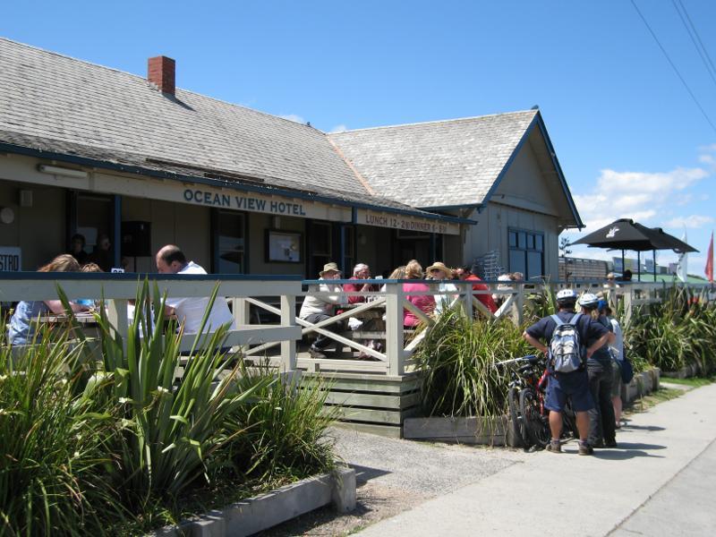
Town centre, Bass Highway between Peppermint Road and Carew Street - Front of Ocean View Hotel
Town centre, Bass Highway between Peppermint Road and Carew Street - View along verandah of Ocean View Hotel towards beach
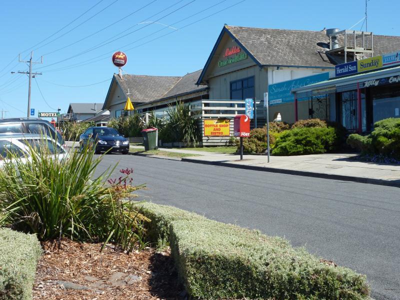
Town centre, Bass Highway between Peppermint Road and Carew Street - View north-west along Bass Hwy service road towards Ocean View Hotel
Town centre, Bass Highway between Peppermint Road and Carew Street - Kilcunda General Store, Bass Hwy service road next to hotel
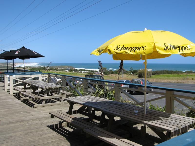
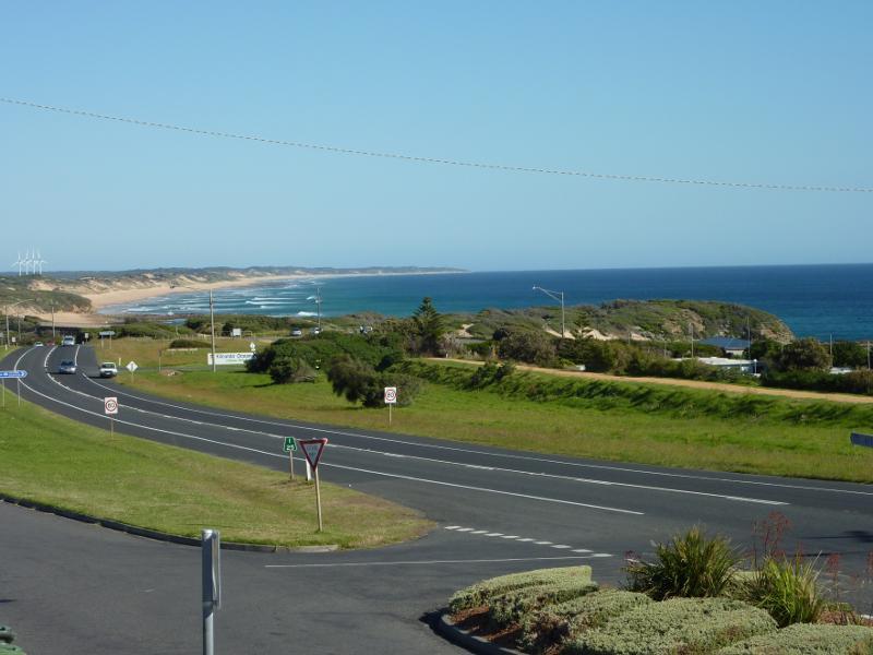
Town centre, Bass Highway between Peppermint Road and Carew Street - View south-east along Bass Hwy and towards beach from verandah at Ocean View Hotel
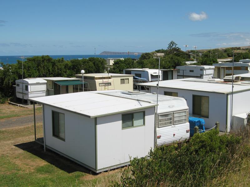
Kilcunda Foreshore Reserve, Bass Highway south-east of Carew Street - View across caravan park towards ocean
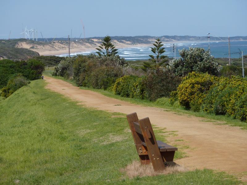
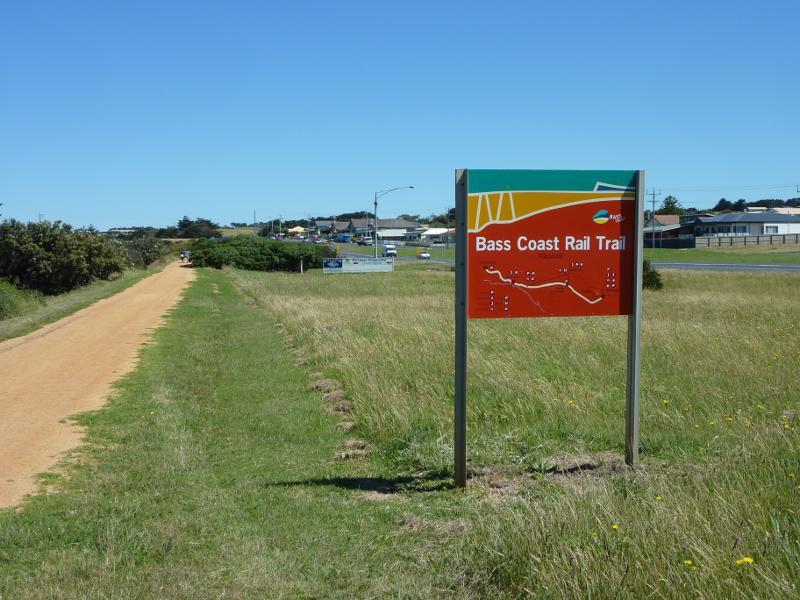
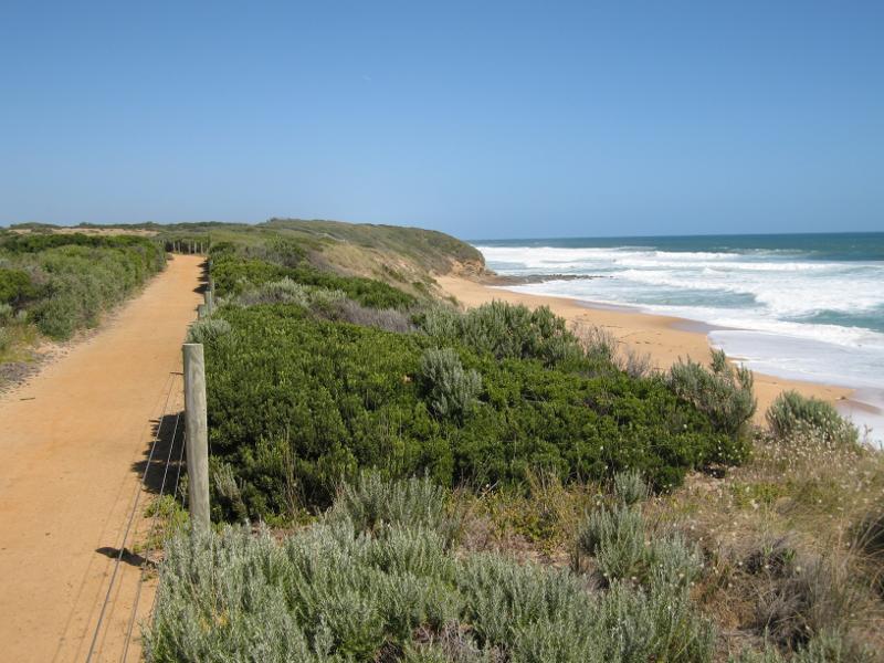
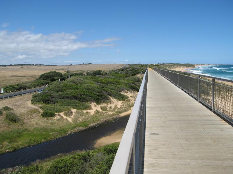
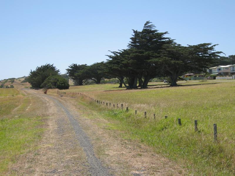
Kilcunda Foreshore Reserve, Bass Highway south-east of Carew Street - View south-east along Bass Coast Rail Trail behind caravan park
Kilcunda Foreshore Reserve, Bass Highway south-east of Carew Street - Picnic tables overlooking beach
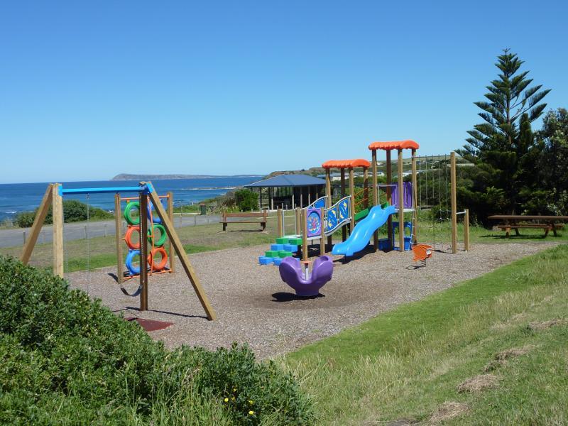
Kilcunda Foreshore Reserve, Bass Highway south-east of Carew Street - Playground and BBQ shelter
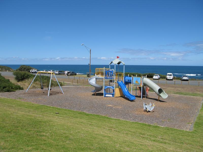
Kilcunda Foreshore Reserve, Bass Highway south-east of Carew Street - Playground and car park overlooking beach
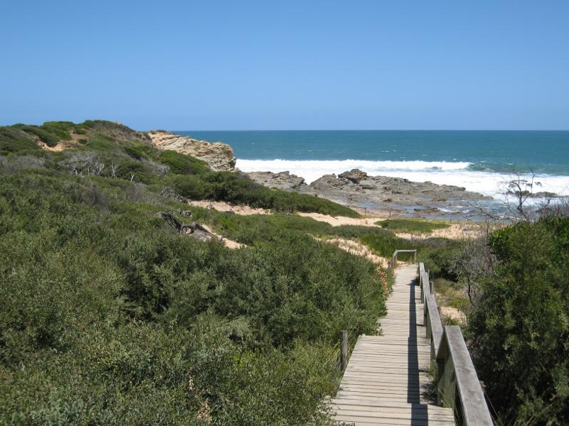
Kilcunda Foreshore Reserve, Bass Highway south-east of Carew Street - View west to beach from Bass Coast Rail Trail near playground
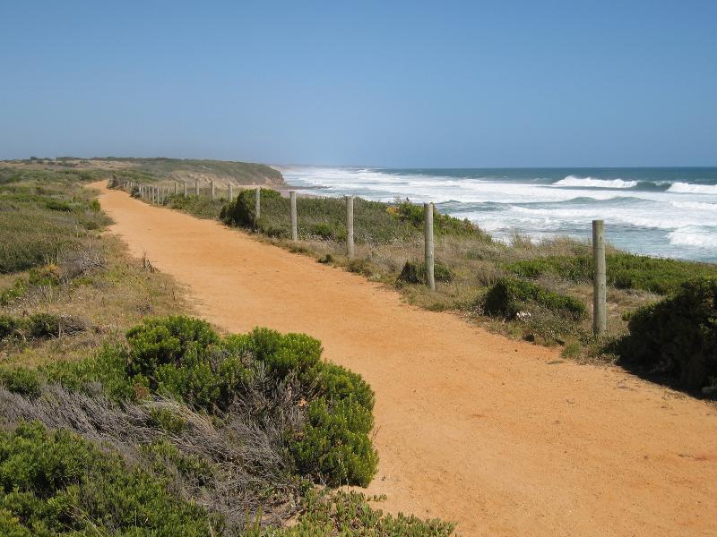
Kilcunda Foreshore Reserve, Bass Highway south-east of Carew Street - View north-west along Bass Coast Rail Trail near playground
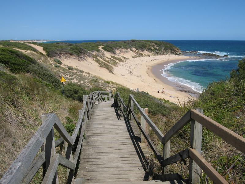
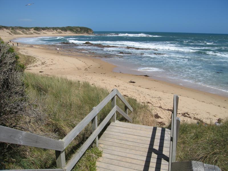
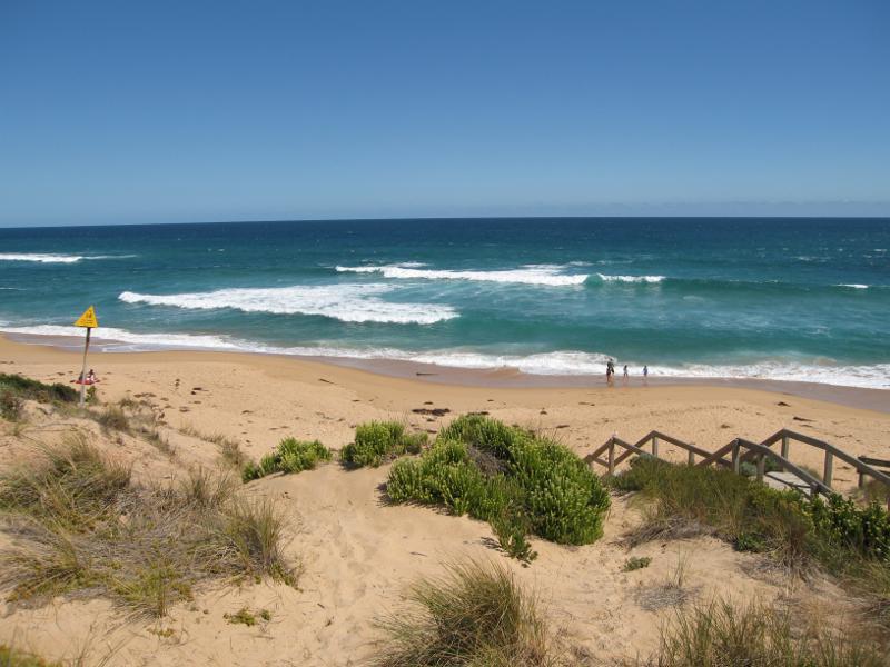
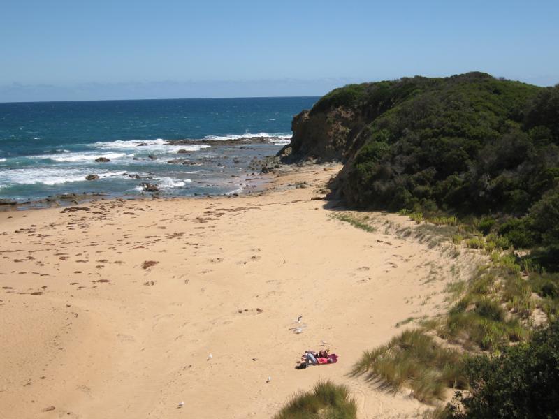
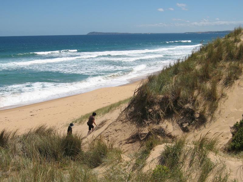
Views from Kilcunda Foreshore Reserve above town beach - View down to beach from top of steps at eastern end
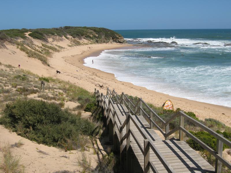
Views from Kilcunda Foreshore Reserve above town beach - View down to beach from midway along steps at eastern end
Views from Kilcunda Foreshore Reserve above town beach - View south-east along beach towards eastern end
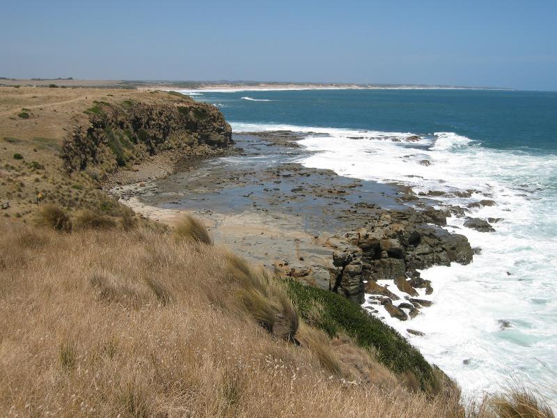
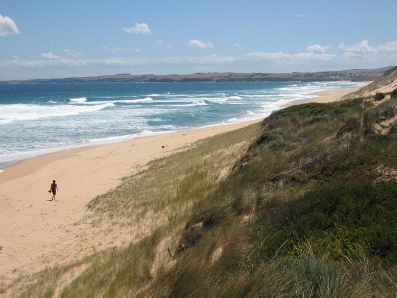
Views from Kilcunda Foreshore Reserve above town beach - View north-west along beach towards steps near BBQ shelter
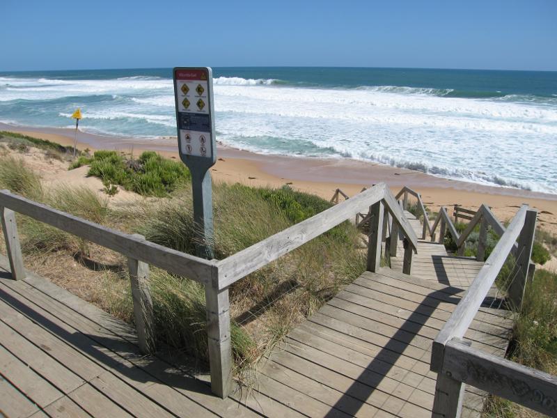
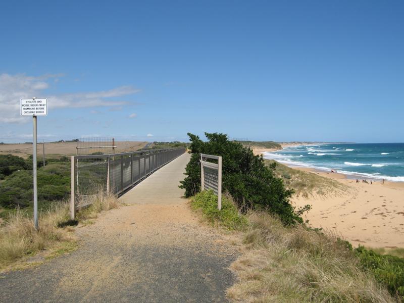
Views from Kilcunda Foreshore Reserve above town beach - Steps down to beach near BBQ shelter
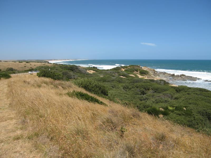
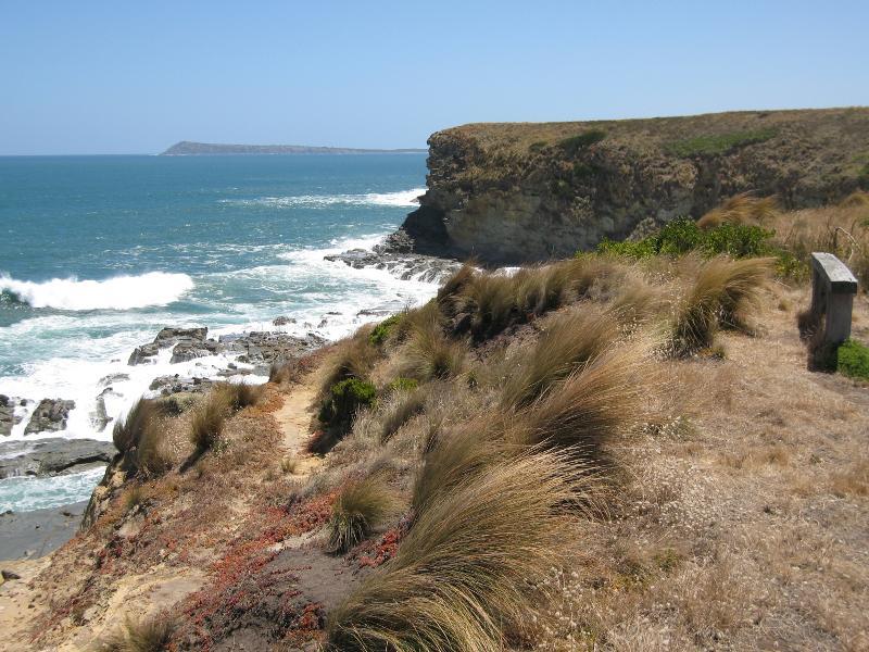
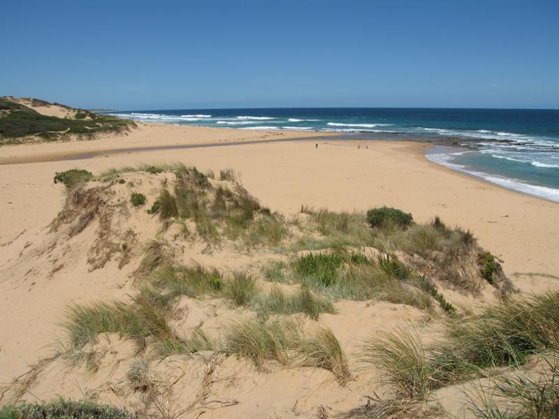
Views from Kilcunda Foreshore Reserve above town beach - View north-west along coast from near BBQ shelter
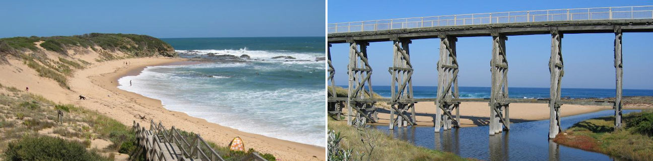
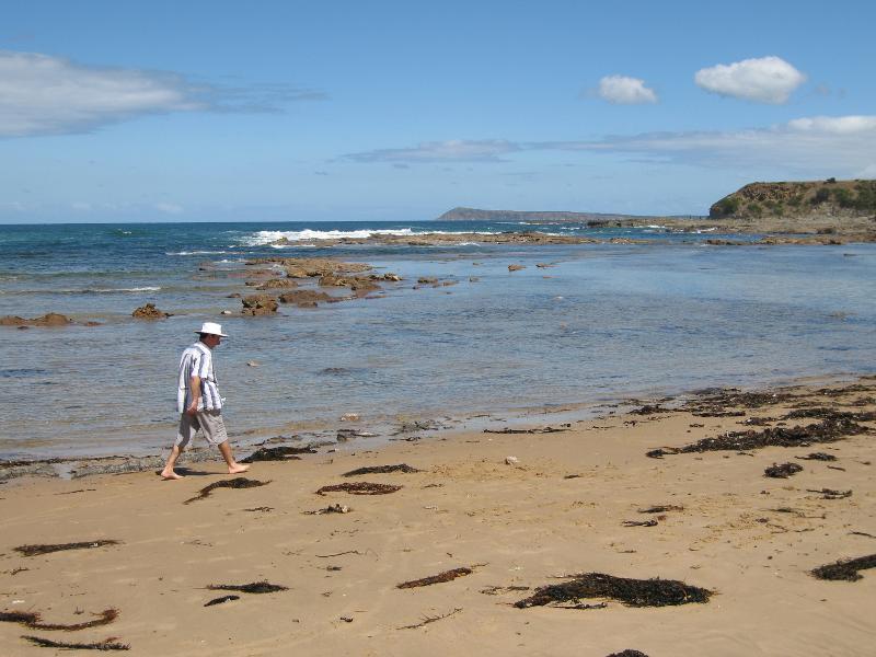
Town beach - Easterly view from eastern end of beach
Town beach - South-easterly view from eastern end of beach
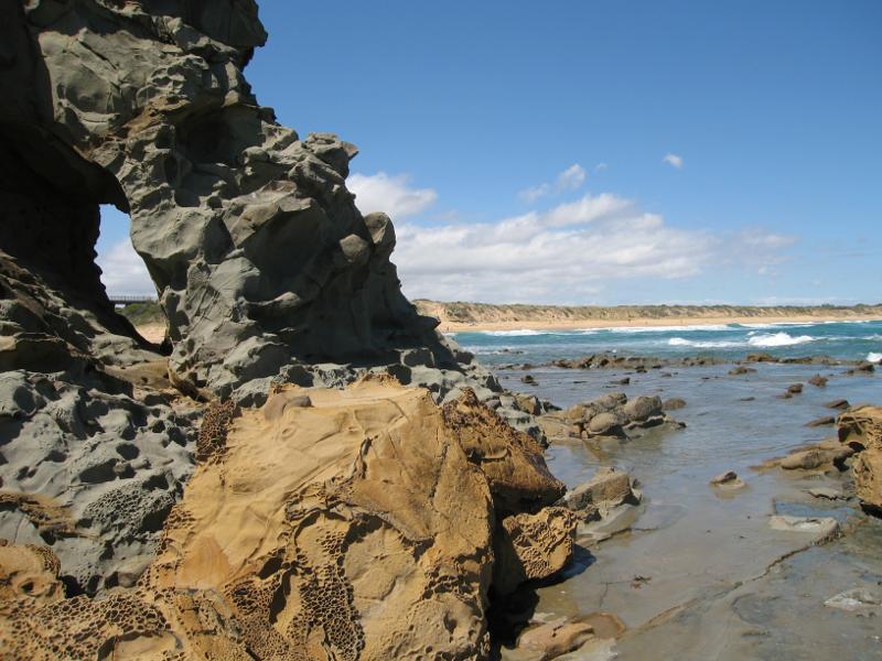
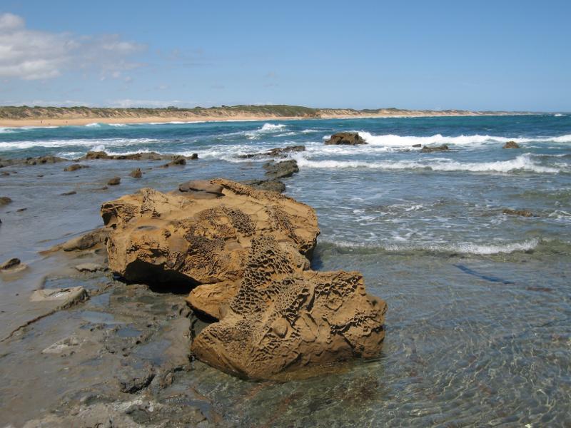
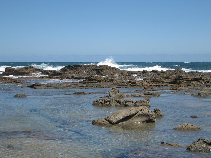
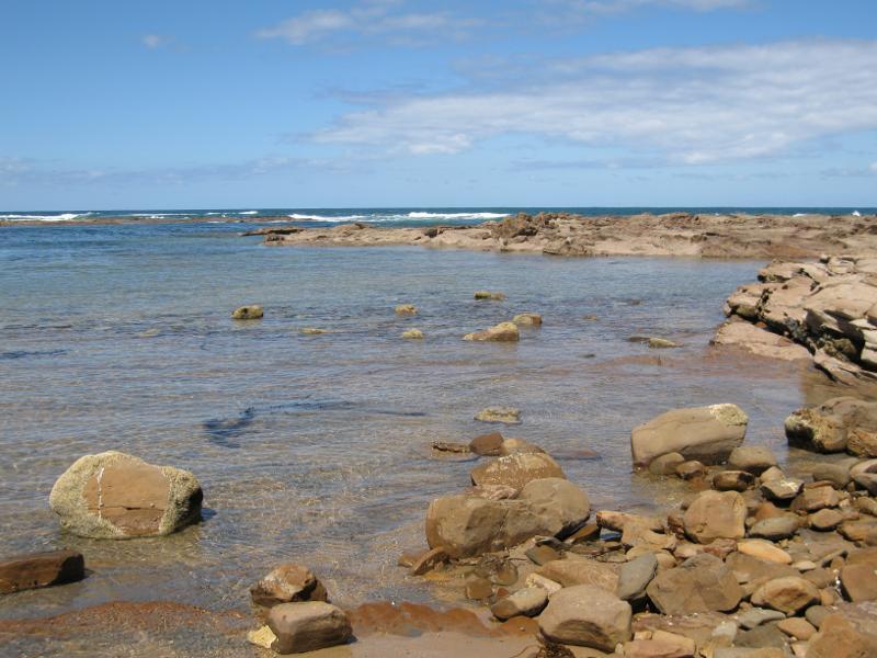
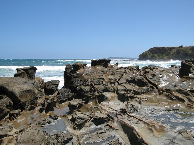
Town beach - Rock pools at eastern end of beach
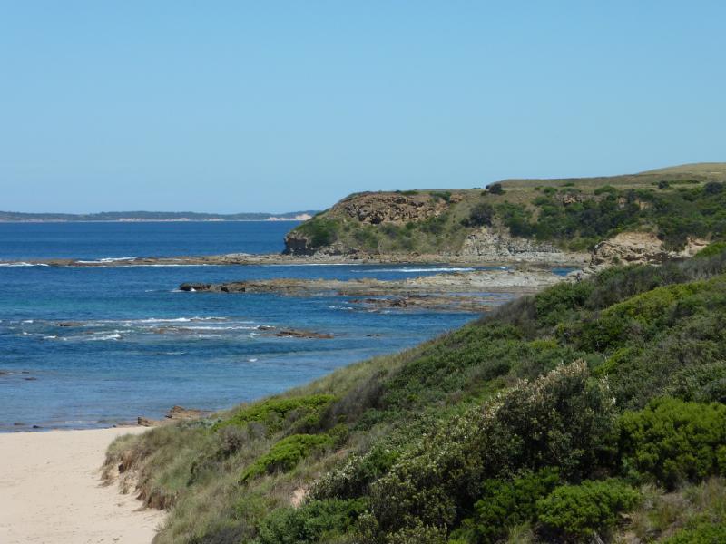
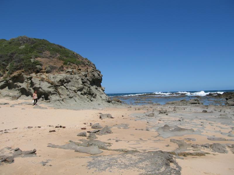
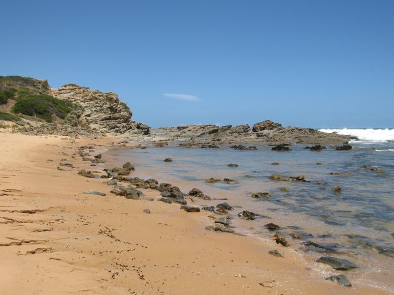
Town beach - View towards headland at eastern end of beach
Town beach - View north-west along beach from eastern end
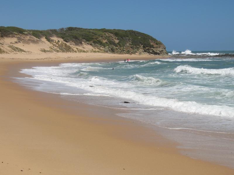
Town beach - South-east view along beach towards headland
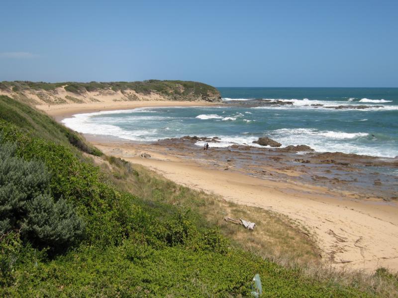
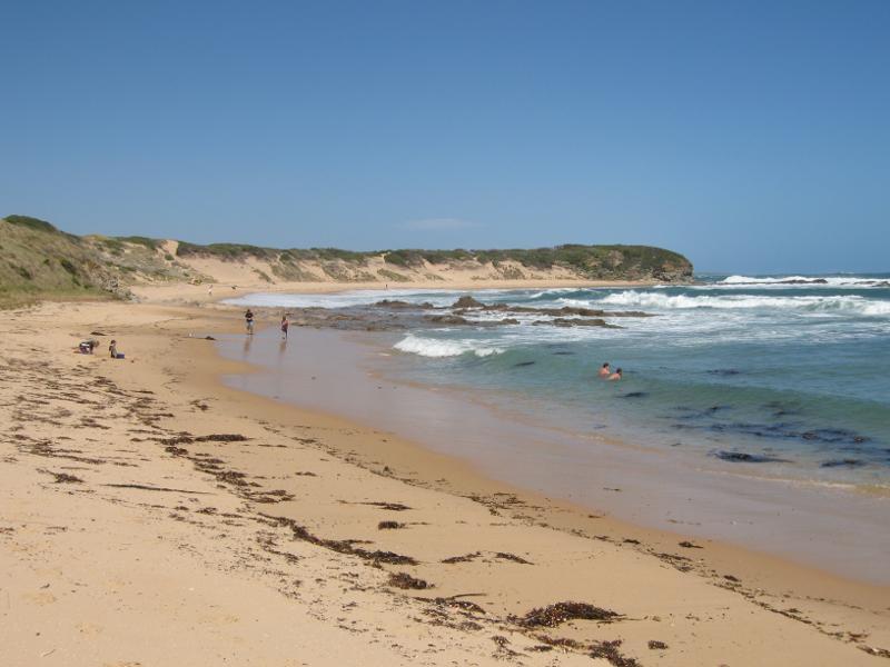
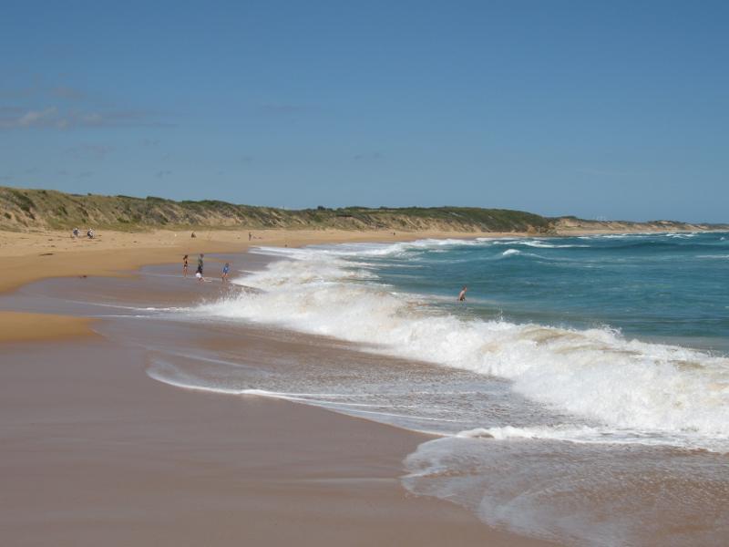
Town beach - View south-east along beach
Town beach - View across beach and out to sea
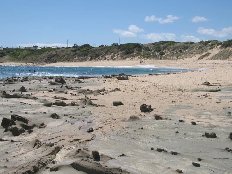
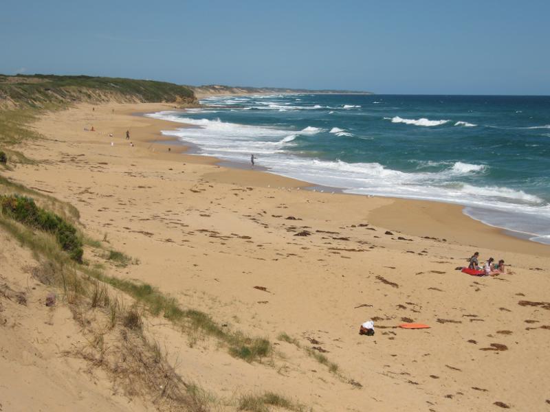
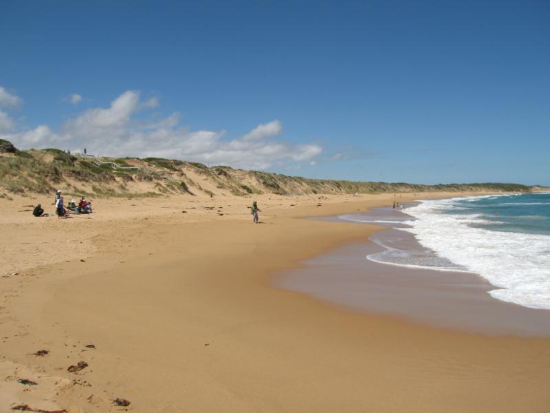
Town beach - View south-east along beach towards BBQ shelter at foreshore park
Town beach - View south-east across beach towards headland
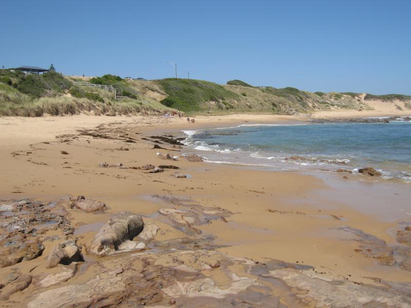
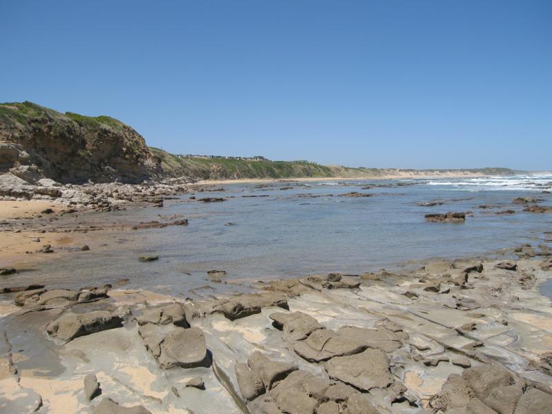
Town beach - Rock platform on beach
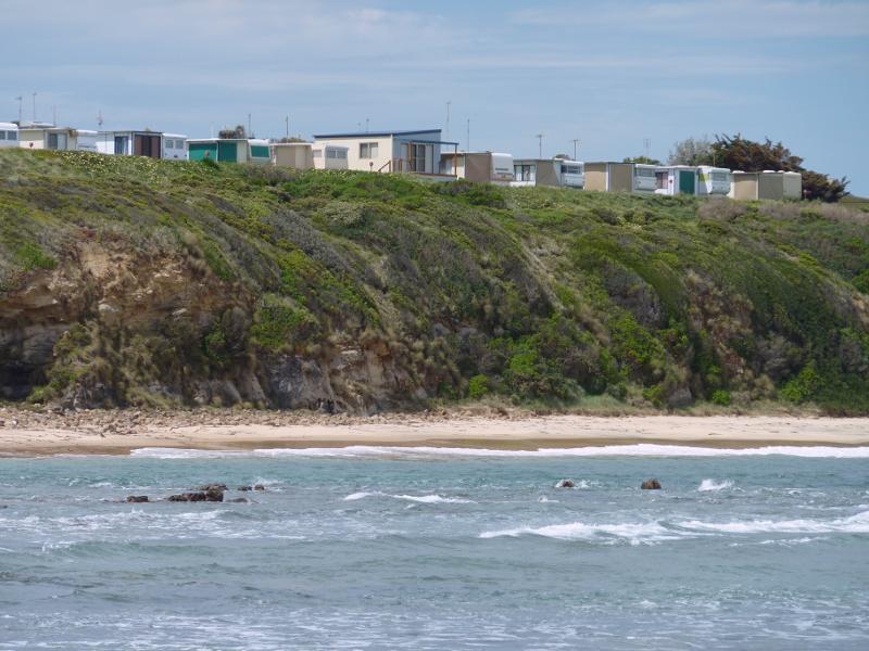
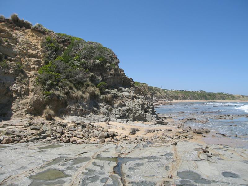
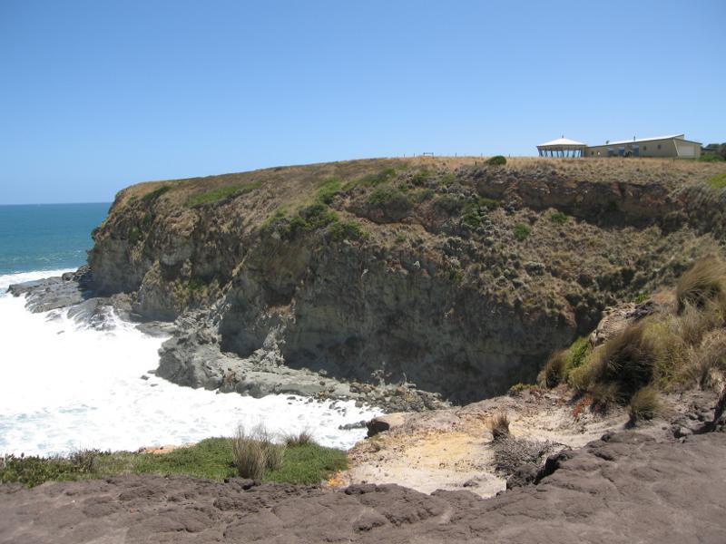
Town beach - Caravan park perched on cliffs above beach
Town beach - View west across beach towards Cape Woolamai
Town beach - View north-west along beach at western end
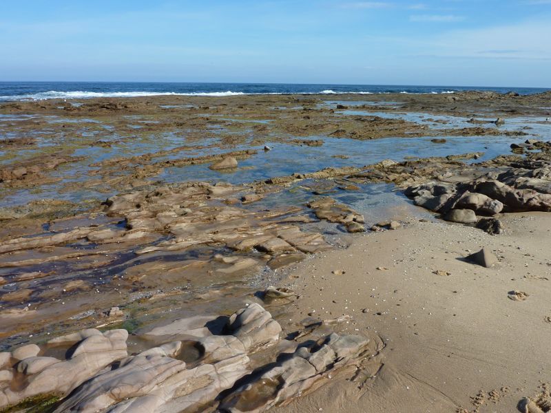
Town beach - Rock pools at western end of beach
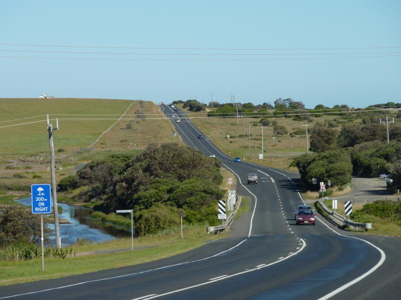
Bass Highway south-east of town centre - View south-east along Bass Hwy towards caravan park and beach at Trestle Bridge
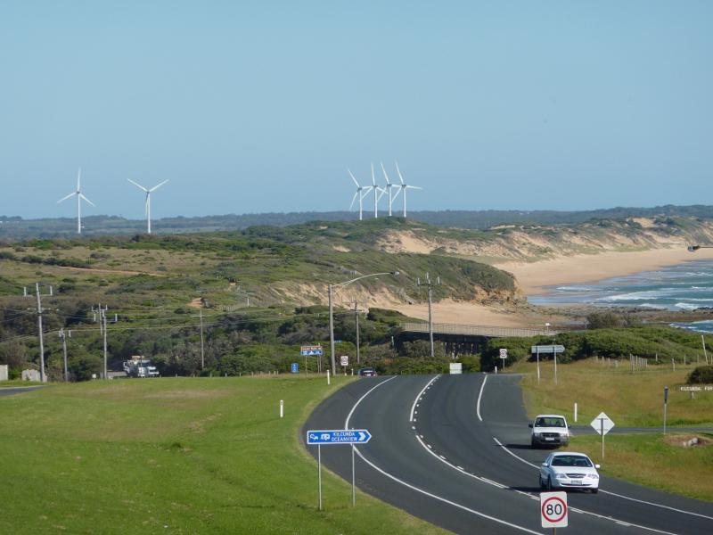
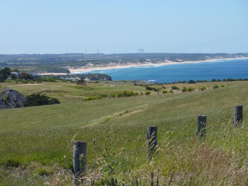
Bass Highway south-east of town centre - View south-east along Bass Hwy towards Trestle Bridge and turbines at Wonthaggi Wind Farm
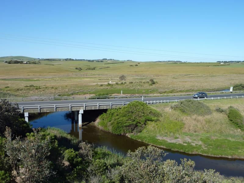
Bass Highway south-east of town centre - View south-east along Bass Hwy towards Ridgeway Rd and Bourne Creek
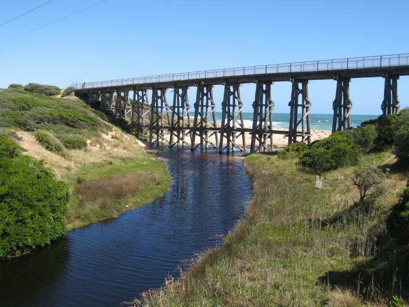
Bass Highway south-east of town centre - View along Bourne Creek towards Trestle Bridge from Bass Hwy
Bass Highway south-east of town centre - View across Bourne Creek towards Trestle Bridge
Trestle Bridge and Bass Coast Rail Trail, Bass Highway around Bourne Creek - View south-east along Bass Hwy from trail east of Trestle Bridge
Trestle Bridge and Bass Coast Rail Trail, Bass Highway around Bourne Creek - View south-east along rail trail overlooking beach, east of Trestle Bridge
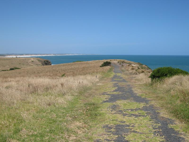
Trestle Bridge and Bass Coast Rail Trail, Bass Highway around Bourne Creek - Rail trail along clifftop, east of Trestle Bridge
Trestle Bridge and Bass Coast Rail Trail, Bass Highway around Bourne Creek - View down to beach from steps on east side of Trestle Bridge
Trestle Bridge and Bass Coast Rail Trail, Bass Highway around Bourne Creek - Steps down to beach on east side of Trestle Bridge
Trestle Bridge and Bass Coast Rail Trail, Bass Highway around Bourne Creek - View south-east along beach from steps on east side of Trestle Bridge
Trestle Bridge and Bass Coast Rail Trail, Bass Highway around Bourne Creek - View north-east along beach from steps on east side of Trestle Bridge
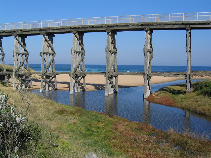
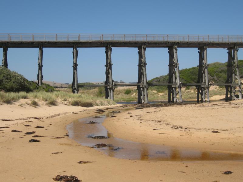
Trestle Bridge and Bass Coast Rail Trail, Bass Highway around Bourne Creek - View south-east along Trestle Bridge towards beach
Trestle Bridge and Bass Coast Rail Trail, Bass Highway around Bourne Creek - View south-east along Trestle Bridge and across Bourne Creek
Trestle Bridge and Bass Coast Rail Trail, Bass Highway around Bourne Creek - View north-east along Bourne Creek from Trestle Bridge towards Bass Hwy
Trestle Bridge and Bass Coast Rail Trail, Bass Highway around Bourne Creek - View towards headland from west side of Trestle Bridge
Trestle Bridge and Bass Coast Rail Trail, Bass Highway around Bourne Creek - View south-east along Bass Coast Rail Trail towards Trestle Bridge
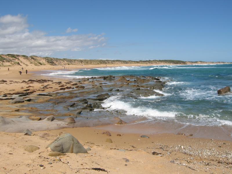
Beach around Trestle Bridge - View south-east along beach on east side of Trestle Bridge
Beach around Trestle Bridge - View south-east along beach on east side of Trestle Bridge
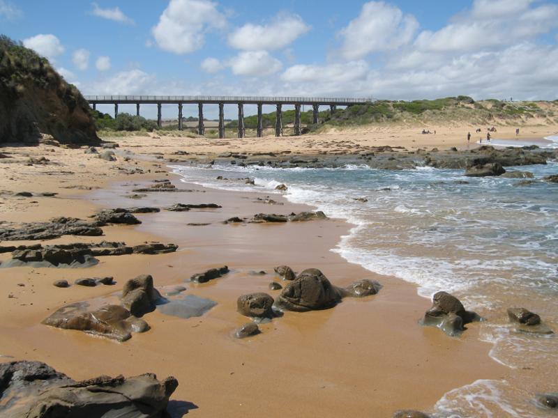
Beach around Trestle Bridge - View from beach towards Bourne Creek and Trestle Bridge
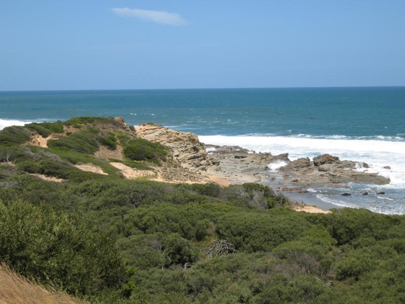
Beach around Trestle Bridge - View south-east along coast near Trestle Bridge
Beach around Trestle Bridge - View back along beach at headland towards Trestle Bridge
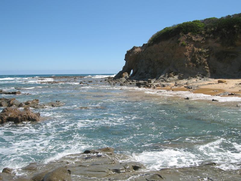
Beach around Trestle Bridge - Headland on west side of Trestle Bridge
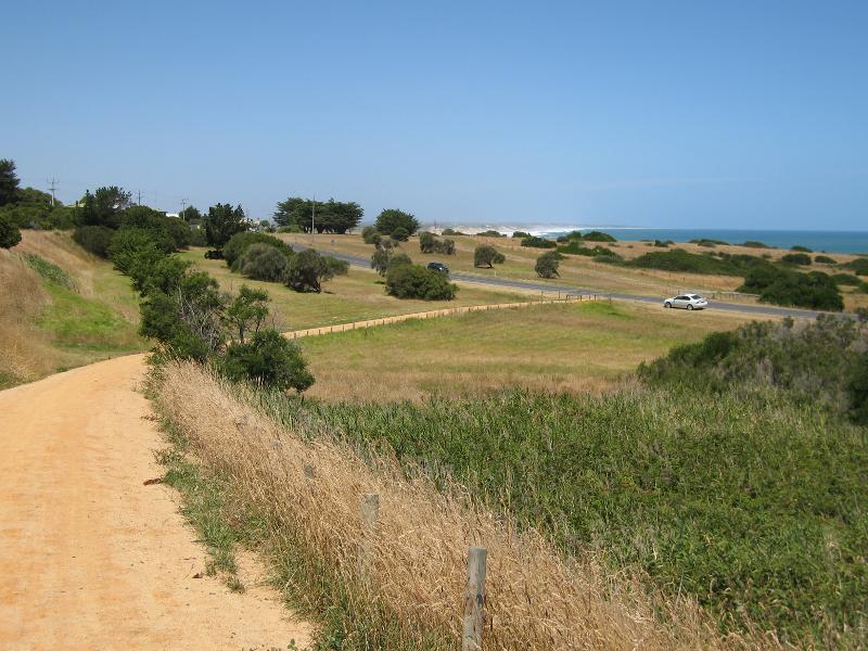
Bass Highway north-west of town centre - View north-west along Bass Coast Rail Trail, Bass Hwy west of Peppermint Rd
Bass Highway north-west of town centre - Old railway bridge beside Bass Coast Rail Trail, Bass Hwy west of Kilcunda Ridge Rd
Bass Highway north-west of town centre - View south-east along Bass Coast Rail Trail, Bass Hwy west of Kilcunda Ridge Rd
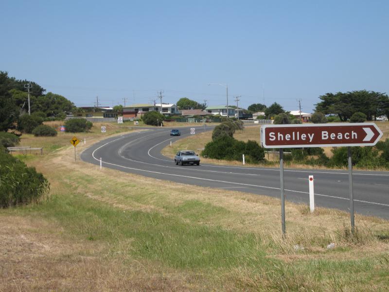
Bass Highway north-west of town centre - View east along Bass Hwy at turn-off to Shelley Beach
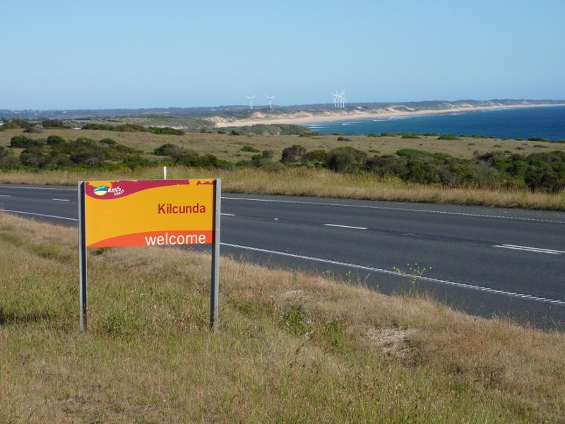
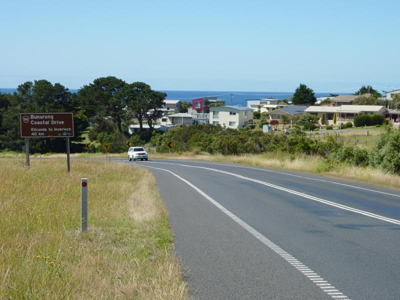
Bass Highway north-west of town centre - Kilcunda town sign, view south-east along Bass Hwy, east of Mitchell Rise
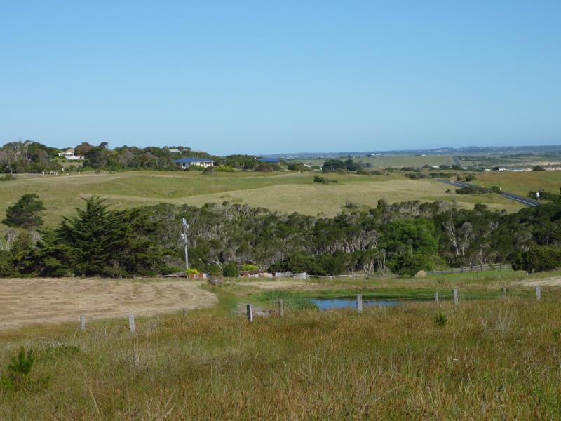
Bass Highway north-west of town centre - South-easterly view to beach from Bass Hwy west of Mabilia Rd
Bass Highway north-west of town centre - Easterly view from Bass Hwy west of Mabilia Rd
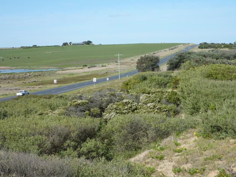
Bass Highway north-west of town centre - View south-east along Bass Hwy towards Mabilia Rd
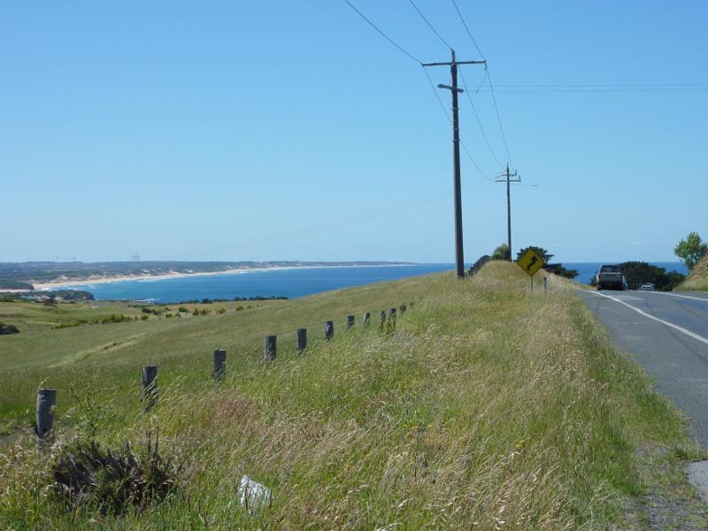
Bass Highway north-west of town centre - South-westerly view towards coast from Bass Hwy west of Mabilia Rd
Bass Highway north-west of town centre - View south-east along Bass Hwy, 500 metres north-west of Mabilia Rd
Bass Highway north-west of town centre - View south-east towards beach, 500 metres north-west of Mabilia Rd
Bass Highway north-west of town centre - South-westerly view, Bass Hwy 500 metres north-west of Mabilia Rd
Shelley Beach, west of town centre - Westerly view along coast from walking track near car park
Shelley Beach, west of town centre - View down to beach from walking track near car park
Shelley Beach, west of town centre - View south-east along coast towards car park
Shelley Beach, west of town centre - Walking track from car park down to beach
Shelley Beach, west of town centre - View west along beach
Shelley Beach, west of town centre - View west from rock platform on beach
Shelley Beach, west of town centre - View south-east along beach
Shelley Beach, west of town centre - View south-east along beach
Shelley Beach, west of town centre - Pock pools on beach
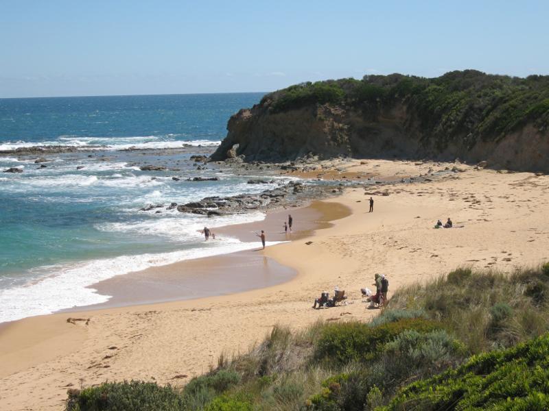
Shelley Beach, west of town centre - View south-east along beach at eastern end towards headland and caravan park
Shelley Beach, west of town centre - View south-east along beach at eastern end towards town beach
Coastline along George Bass Coastal Walk at southern end of Mabilia Road - View west along coast towards Cape Woolamai from western end of Seaview St
Coastline along George Bass Coastal Walk at southern end of Mabilia Road - View south-east along George Bass Coastal Walk at southern end of Mabilia Rd
Coastline along George Bass Coastal Walk at southern end of Mabilia Road - View north-west along coast towards Mabilia Rd
Coastline along George Bass Coastal Walk at southern end of Mabilia Road - View south-east along coast
Coastline along George Bass Coastal Walk at southern end of Mabilia Road - View north-west along coast towards Cape Woolamai
Coastline along George Bass Coastal Walk at southern end of Mabilia Road - View south-east along coast towards rock platform
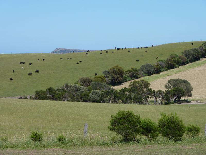
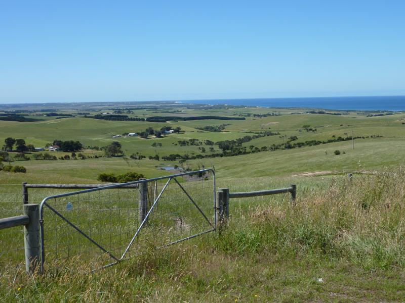
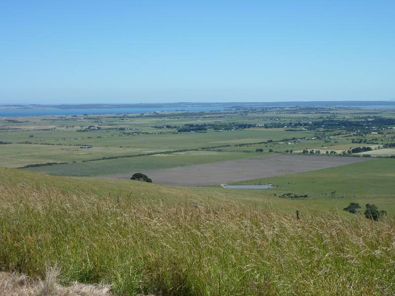
Scenery along Kilcunda Ridge Road - Southerly view, 2.5 km from Bass Hwy
Scenery along Kilcunda Ridge Road - Southerly view along road, 3 km from Bass Hwy
Scenery along Kilcunda Ridge Road - South-easterly view, 3 km from Bass Hwy
Scenery along Kilcunda Ridge Road - South-easterly view, 3 km from Bass Hwy
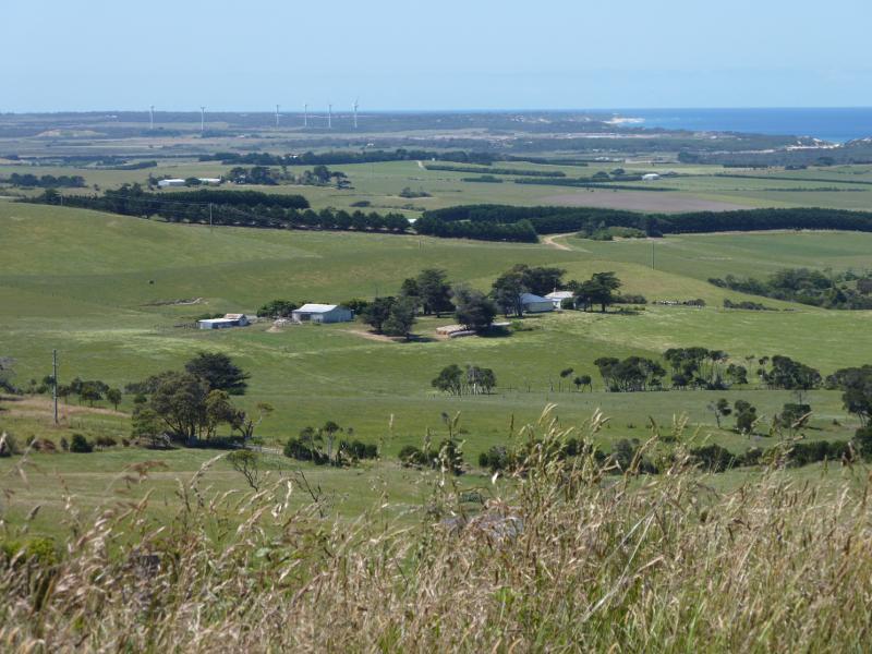
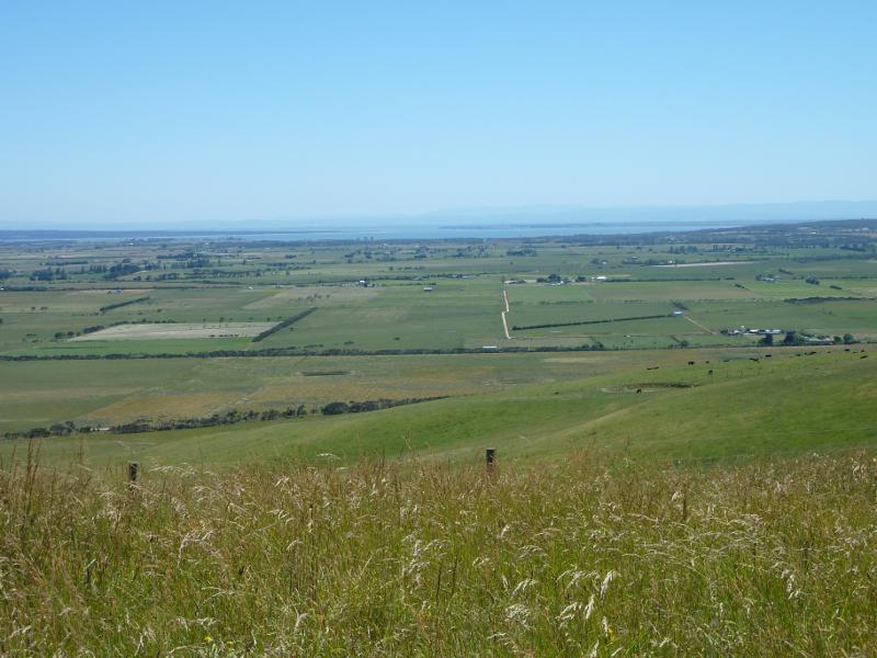
Scenery along Kilcunda Ridge Road - Westerly view, 3.5 km from Bass Hwy at Powell Rd
Scenery along Kilcunda Ridge Road - Westerly view, 3.5 km from Bass Hwy at Powell Rd
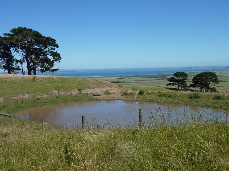
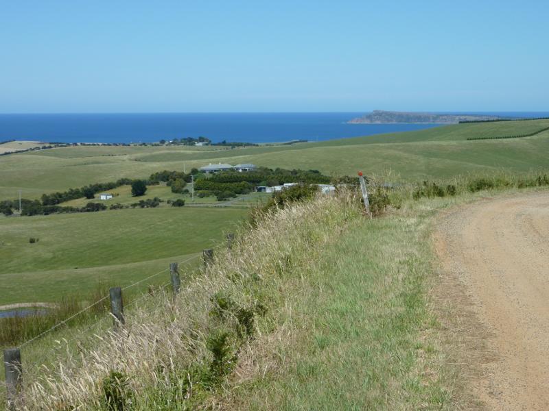
Scenery along Kilcunda Ridge Road - Southerly view towards Trestle Bridge, 3.5 km from Bass Hwy at Powell Rd
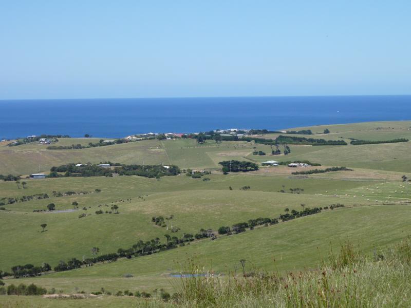
Scenery along Kilcunda Ridge Road - North-westerly view, 3.7 km from Bass Hwy
Scenery along Kilcunda Ridge Road - North-westerly view, 3.7 km from Bass Hwy
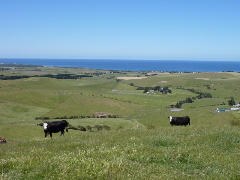
Scenery along Kilcunda Ridge Road - North-easterly view along Kilcunda Ridge Rd, 4 km from Bass Hwy
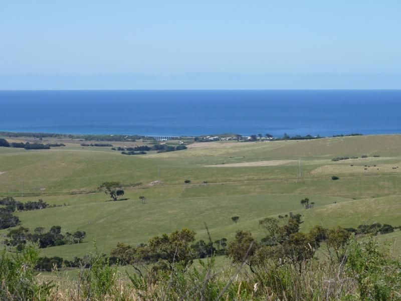
Scenery along Kilcunda Ridge Road - Southerly view, 4 km from Bass Hwy
Scenery along Kilcunda Ridge Road - Southerly view, 4 km from Bass Hwy
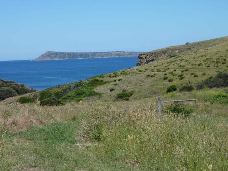
Scenery along Kilcunda Ridge Road - South-westerly view towards Cape Woolamai, 4 km from Bass Hwy
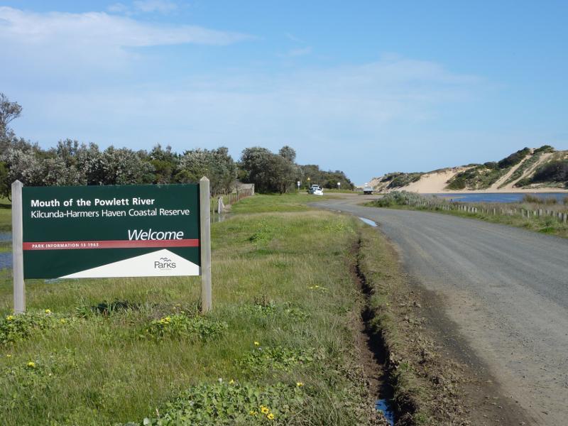
Mouth Of Powlett Road - View south-east along Mouth Of Powlett Rd at Bass Hwy
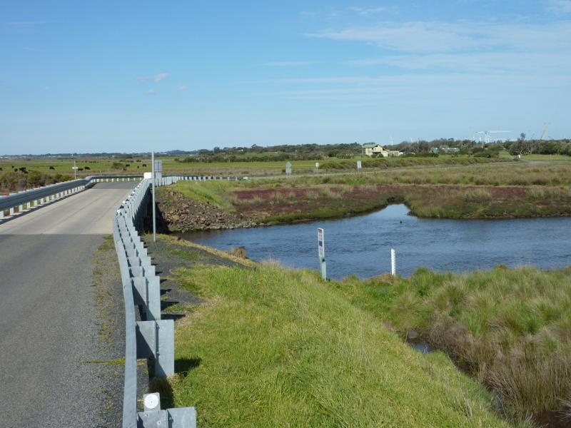
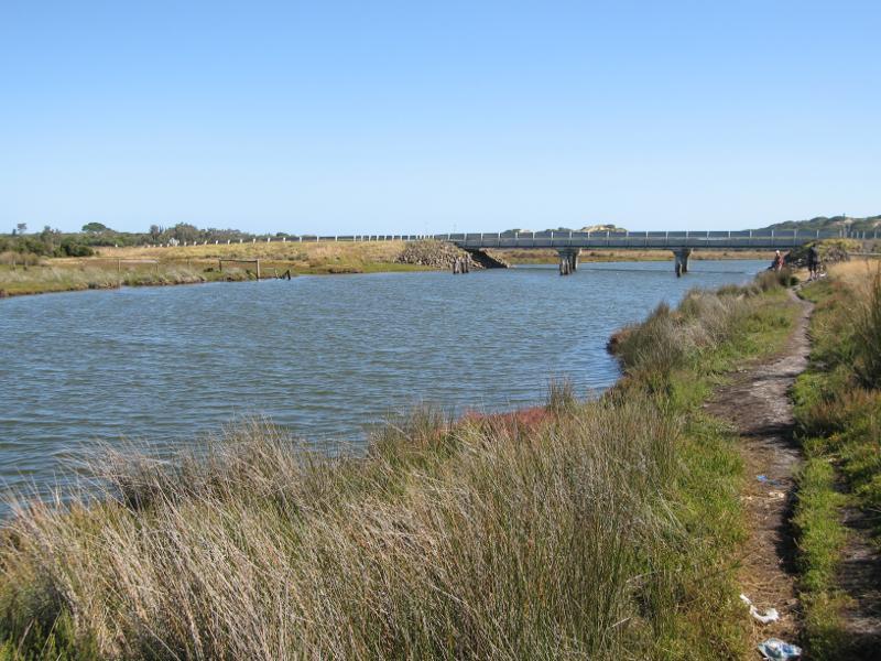
Mouth Of Powlett Road - View along bridge over Powlett River
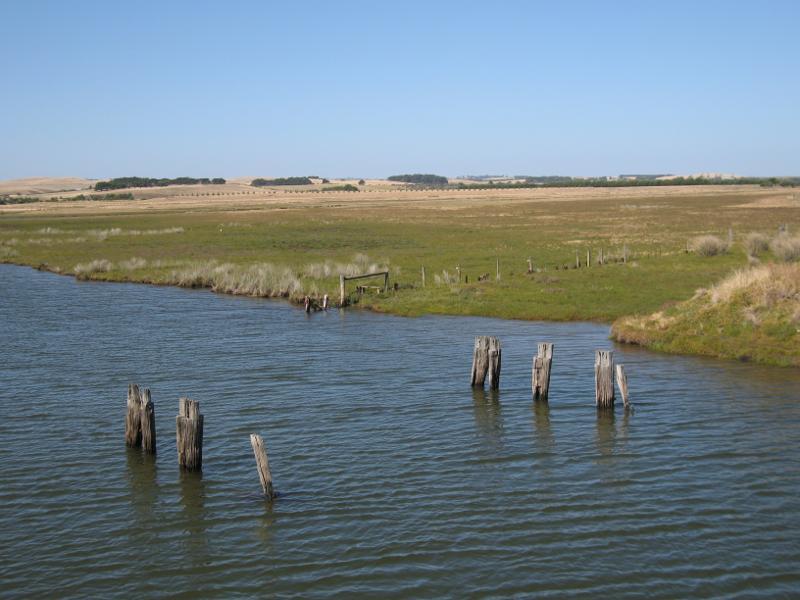
Mouth Of Powlett Road - View south across Powlett River towards river mouth from bridge
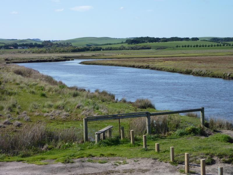
Mouth Of Powlett Road - View south-west along Powlett River from bridge
Mouth Of Powlett Road - View east across Powlett River from bridge
Mouth Of Powlett Road - View north-east along Powlett River from bridge
Mouth Of Powlett Road - View south along Powlett River towards bridge at Mouth Of Powlett Rd
Powlett River around river mouth and surrounding ocean beach - View south towards car park upstream from river mouth
Powlett River around river mouth and surrounding ocean beach - View north along Powlett River at car park
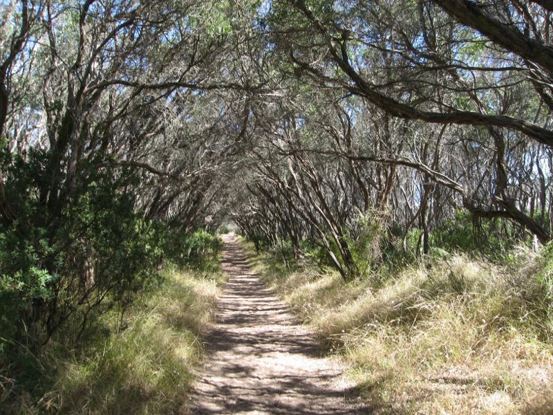
Powlett River around river mouth and surrounding ocean beach - Bush walking track along eastern side of river
Powlett River around river mouth and surrounding ocean beach - View south along river from south of car park
Powlett River around river mouth and surrounding ocean beach - View west across river
Powlett River around river mouth and surrounding ocean beach - View west across river towards sand dunes
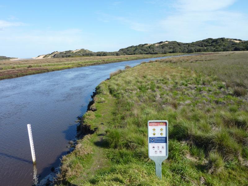
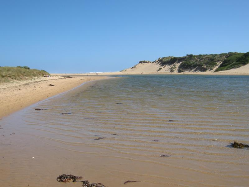
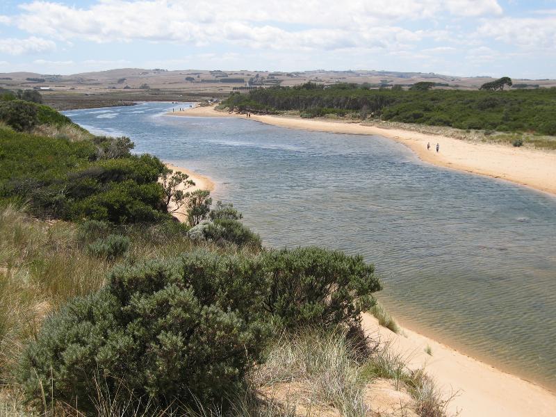
Powlett River around river mouth and surrounding ocean beach - View south along river towards ocean
Powlett River around river mouth and surrounding ocean beach - View along eastern shoreline of river towards ocean
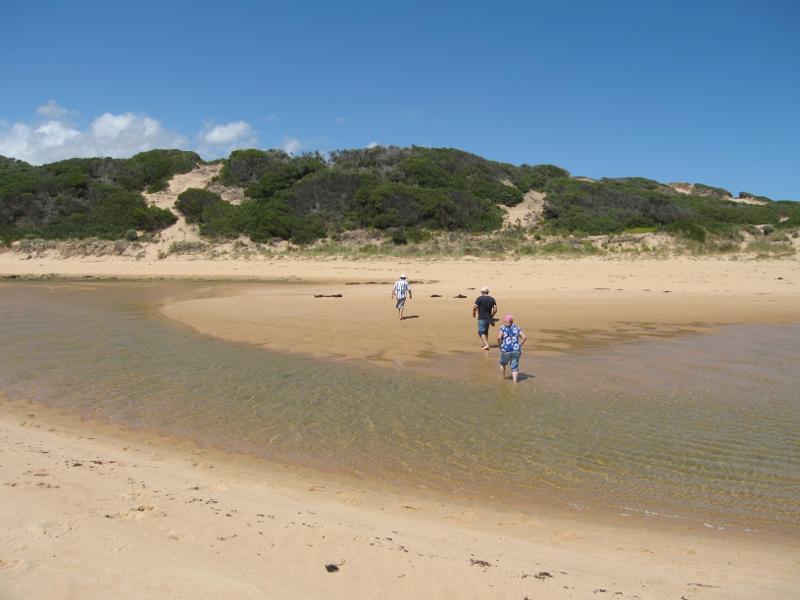
Powlett River around river mouth and surrounding ocean beach - View east across river near river mouth
Powlett River around river mouth and surrounding ocean beach - View north along river from sand dunes on east side of river mouth
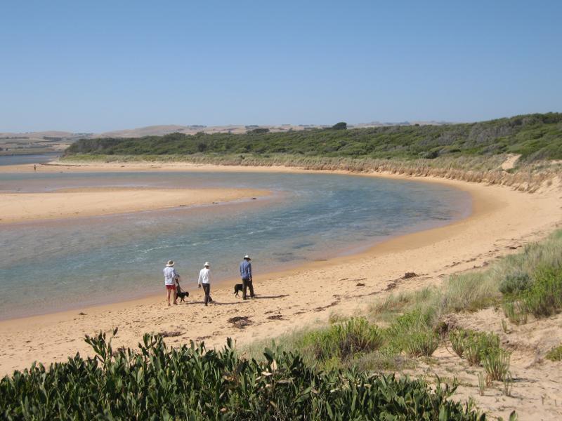
Powlett River around river mouth and surrounding ocean beach - View north-west along river from sand dunes on east side of river mouth
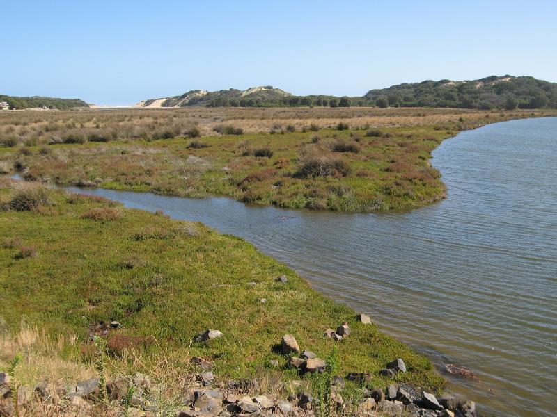
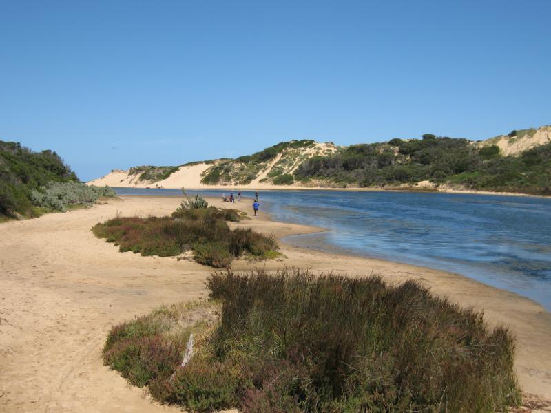
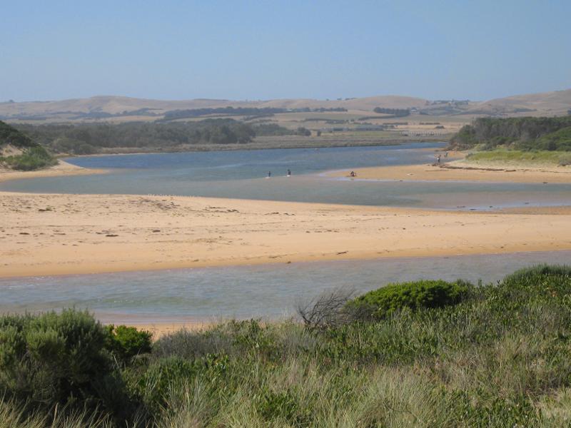
Powlett River around river mouth and surrounding ocean beach - View north-west along river and ocean beach from sand dunes on east side of river mouth
Powlett River around river mouth and surrounding ocean beach - View south-east along coast from sand dunes on east side of river mouth
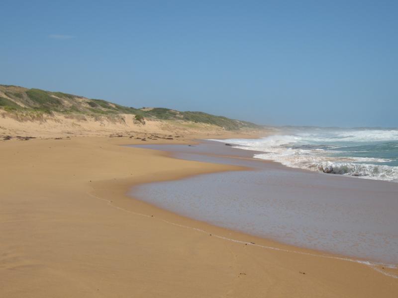
Powlett River around river mouth and surrounding ocean beach - View north-west along ocean beach at river mouth
Powlett River around river mouth and surrounding ocean beach - View south-east along ocean beach on east side of river mouth
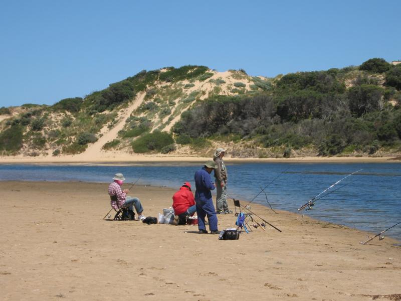
Powlett River around river mouth and surrounding ocean beach - Fishing in the ocean beach on the west side of the river mouth
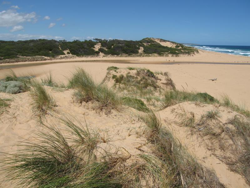
Powlett River around river mouth and surrounding ocean beach - View north-west along sand dunes between ocean beach and river mouth
Powlett River around river mouth and surrounding ocean beach - View north along river from sand dunes on west side of river mouth
Powlett River around river mouth and surrounding ocean beach - View south-east across river near mouth from sand dunes
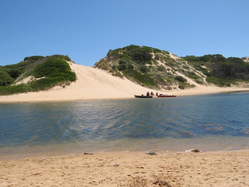
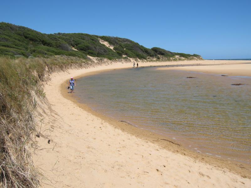
Powlett River around river mouth and surrounding ocean beach - View south towards river mouth from sand dunes
Powlett River around river mouth and surrounding ocean beach - View west towards Cape Woolamai from sand dunes on west side of river mouth
Powlett River around river mouth and surrounding ocean beach - View north-west along ocean beach from sand dunes on west side of river mouth