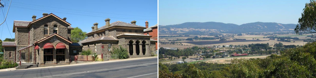
Kilmore - photos
Kilmore
Stay
See and do
Food and drink
Shopping
Getting around
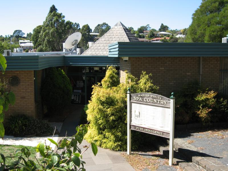
Visitor information
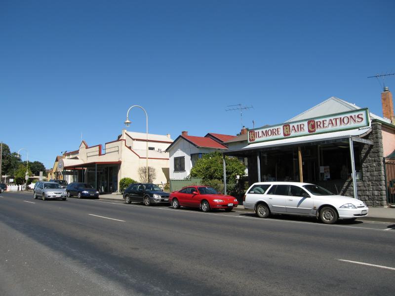
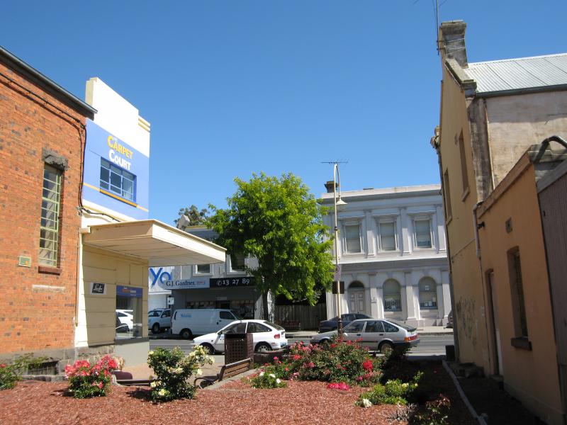
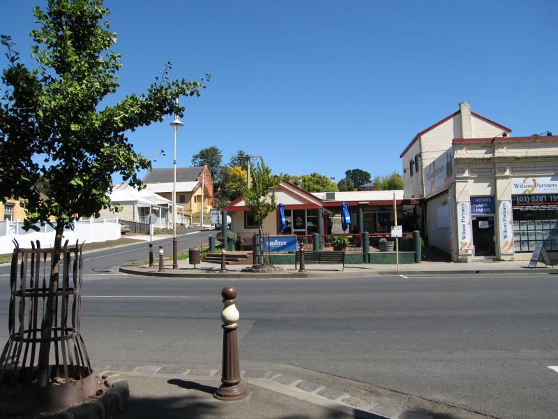 Shops and commercial centre, Sydney Street - View west across Sydney St at Bourke St
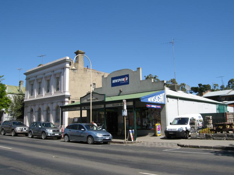
 Shops and commercial centre, Sydney Street - View north along Sydney St at Bourke St
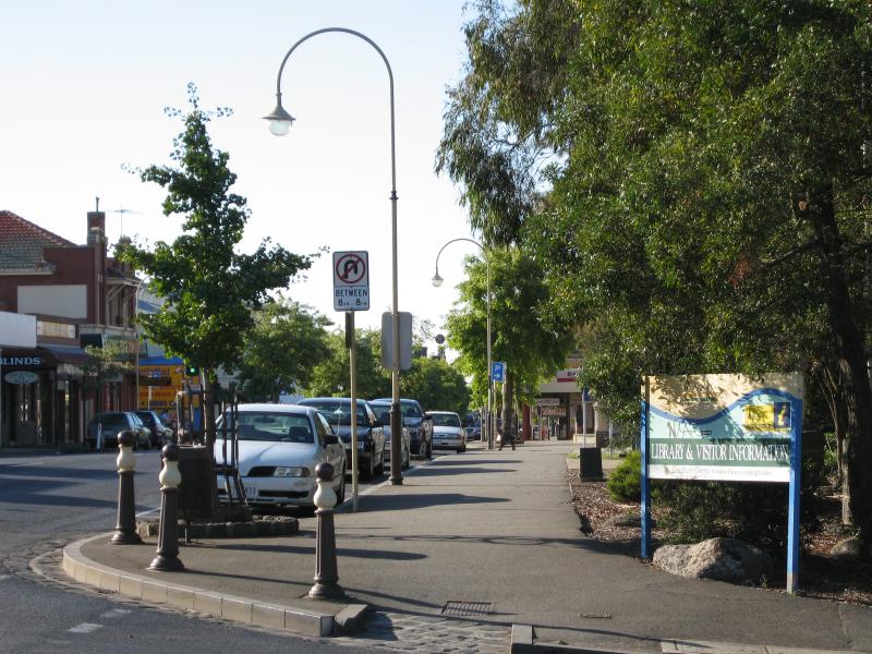
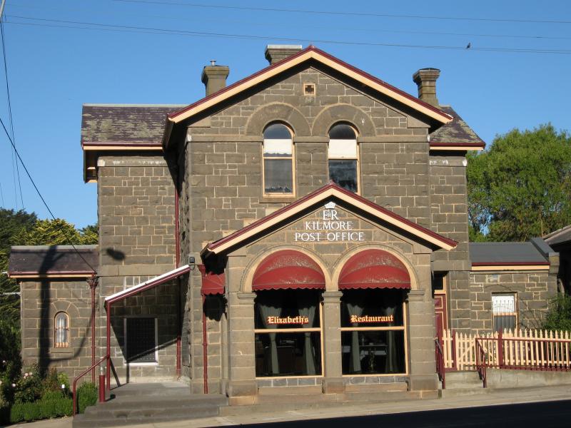
 Shops and commercial centre, Sydney Street - Visitor Information Centre, corner Sydney St and Bourke St
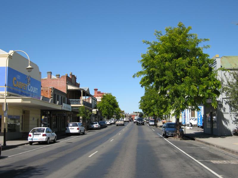
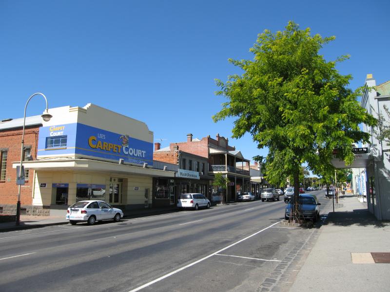
 Shops and commercial centre, Sydney Street - View south along Sydney St towards Bourke St
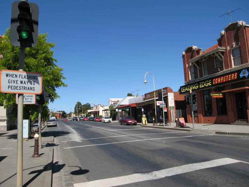 Shops and commercial centre, Sydney Street - View south along Sydney St at pedestrian crossing
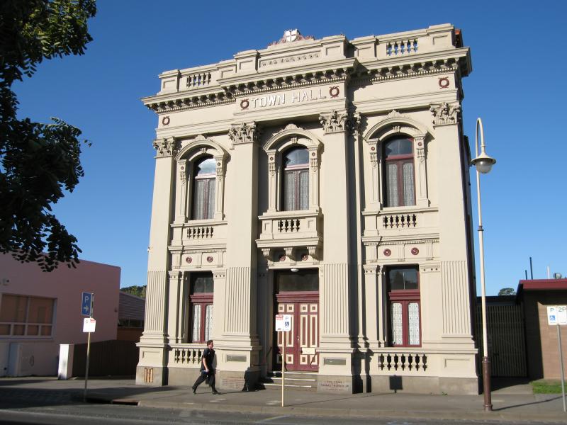 Shops and commercial centre, Sydney Street - Town Hall, Sydney St
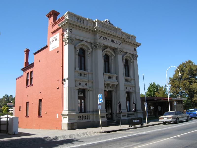 Shops and commercial centre, Sydney Street - Town Hall, Sydney St
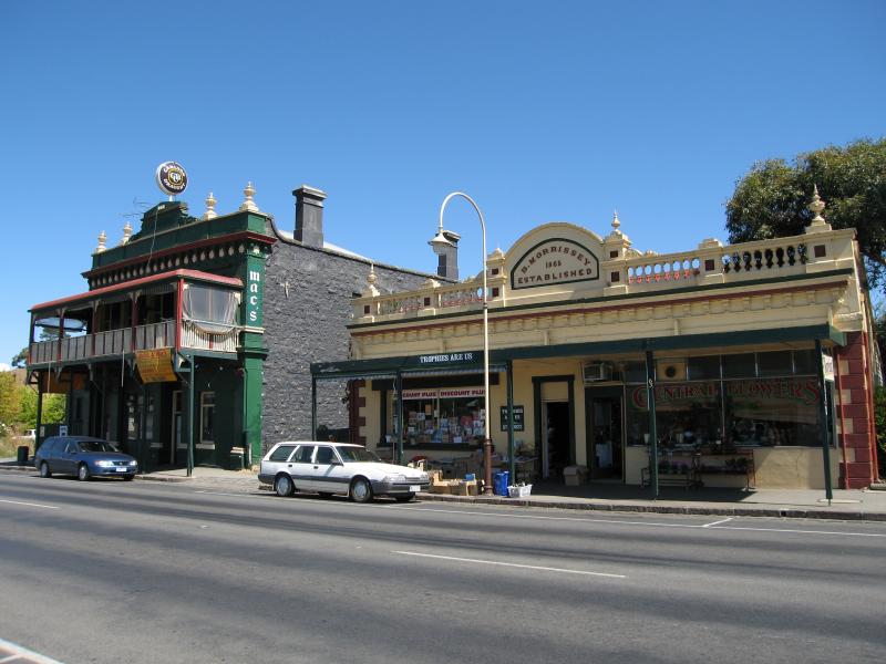
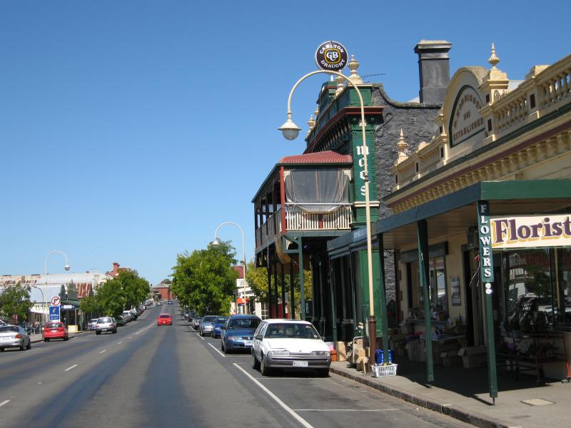
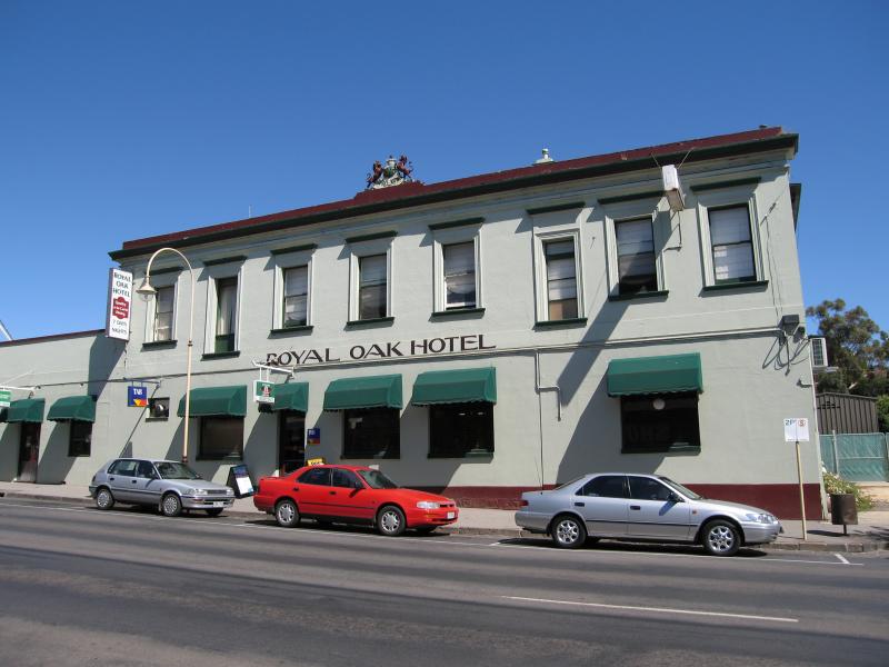 Shops and commercial centre, Sydney Street - Royal Oak Hotel, Sydney St
 Shops and commercial centre, Sydney Street - View south along Sydney St between Union St and Bourke St
 Shops and commercial centre, Sydney Street - View south along Sydney St between Union St and Bourke St
 Shops and commercial centre, Sydney Street - View west along walkway from Mills St towards Sydney St
 Shops and commercial centre, Sydney Street - View south along Sydney Rd near walkway at Mills St
 Shops and commercial centre, Sydney Street - View south along Sydney Rd towards walkway at Mills St
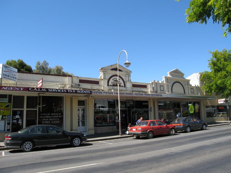 Shops and commercial centre, Sydney Street - Hall of Commerce Building, Sydney Rd between Union St and Bourke St
 Shops and commercial centre, Sydney Street - View south along Sydney Rd between Union St and Bourke St
 Shops and commercial centre, Sydney Street - Red Lion Hotel, Sydney St
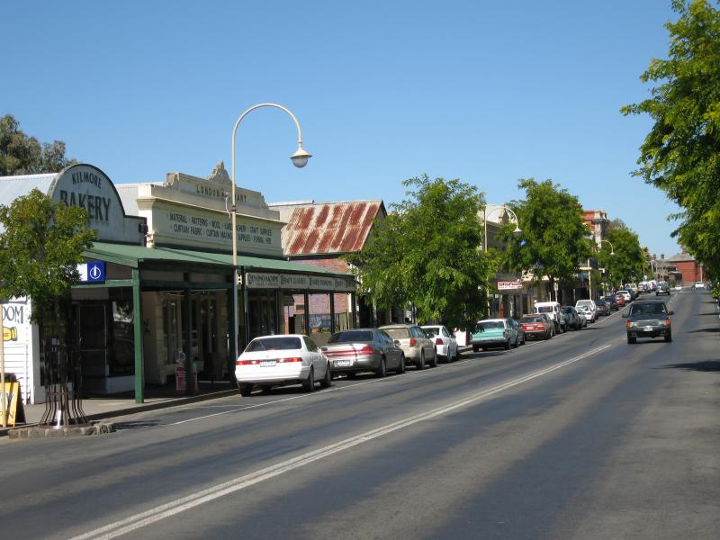
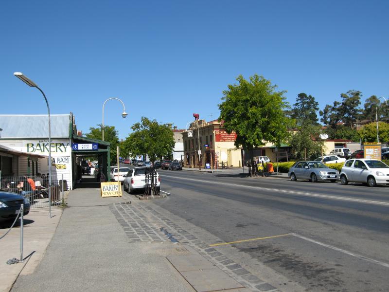
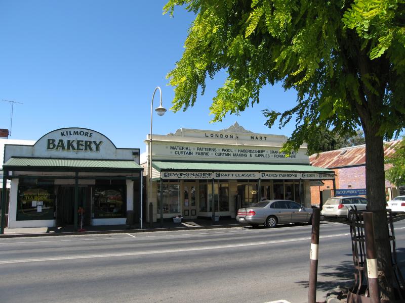 Shops and commercial centre, Sydney Street - Bakery and London Mart, Sydney Rd south of Union St
 Shops and commercial centre, Sydney Street - View south along Sydney St south of Union St
 Shops and commercial centre, Sydney Street - View south along Sydney St towards bakery and Red Lion Hotel
 Shops and commercial centre, Sydney Street - View south along Sydney St at Union St
 Shops and commercial centre, Sydney Street - View south along Sydney St at Union St
 Shops and commercial centre, Sydney Street - View south along Sydney St towards Union St
 Commercial centre corner Sydney Street and Clarke Street - View south along Sydney St at Brisbane St
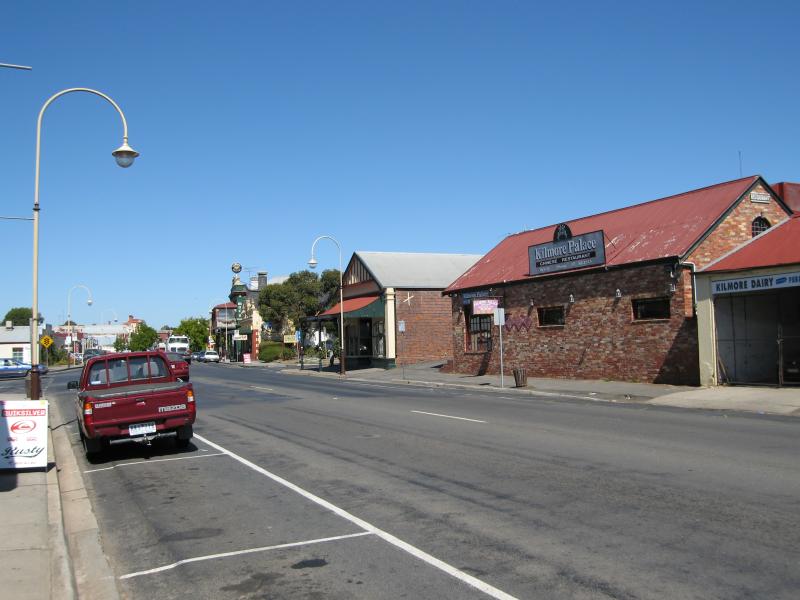
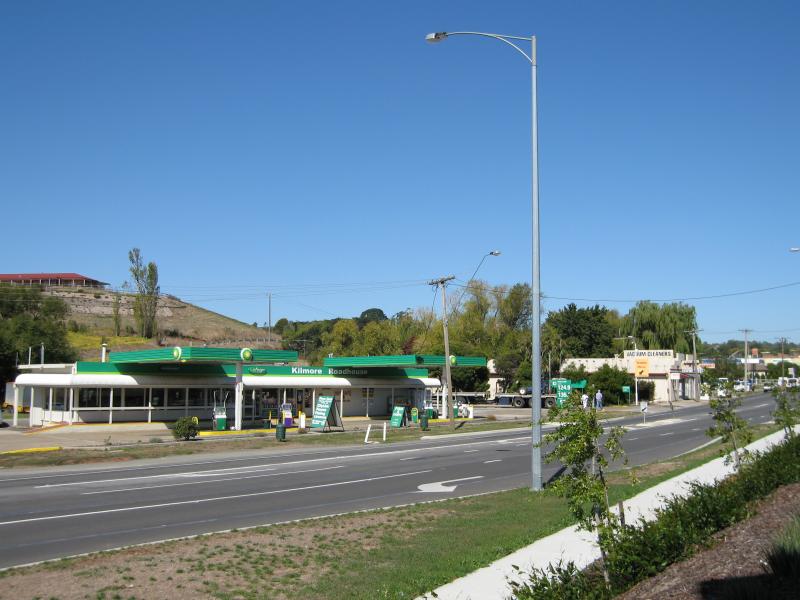 Commercial centre corner Sydney Street and Clarke Street - Kilmore Roadhouse, Sydney St between Clarke St and Brisbane St
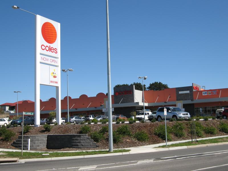 Commercial centre corner Sydney Street and Clarke Street - Coles Supermarket and shops, corner Sydney St and Clarke St
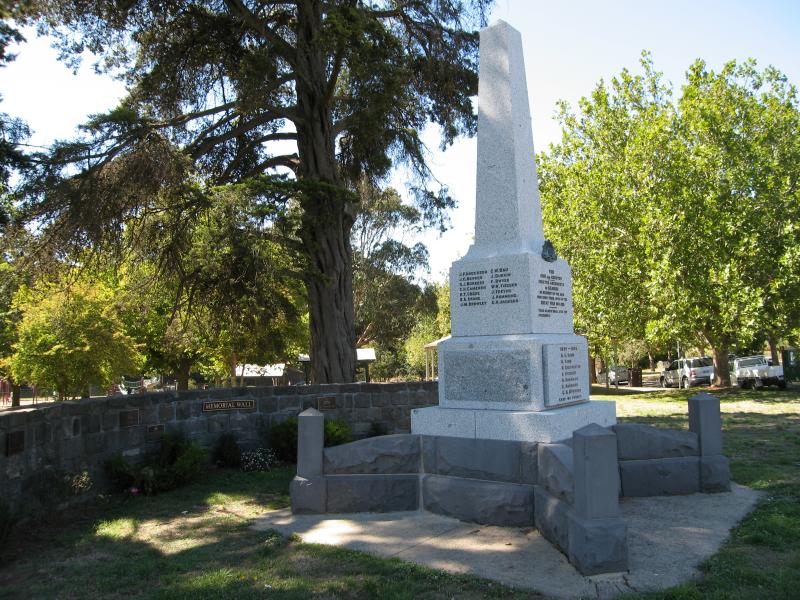 Hudson Park, Sydney Street between Bourke Street and Foote Street - War memorial and memorial wall, corner Sydney St and Foote St
 Hudson Park, Sydney Street between Bourke Street and Foote Street - Rose garden, view south along Sydney St towards Foote St
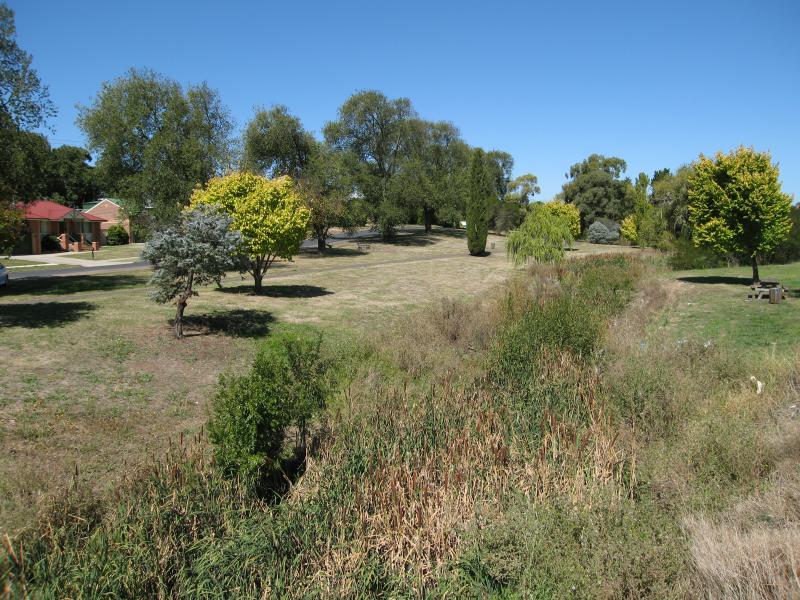
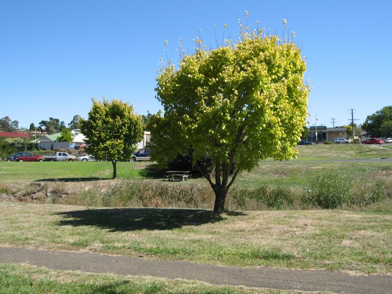
 Hudson Park, Sydney Street between Bourke Street and Foote Street - View through park
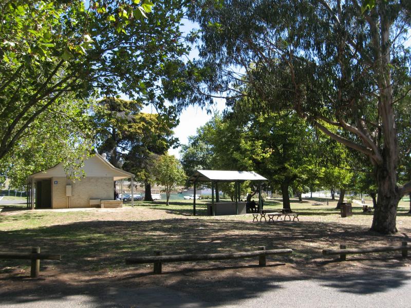 Hudson Park, Sydney Street between Bourke Street and Foote Street - BBQ and picnic areas
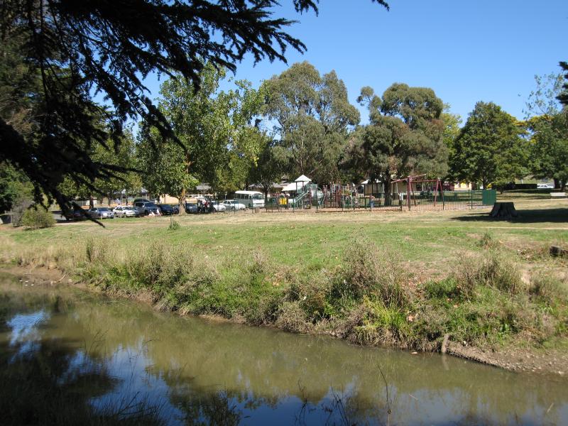 Hudson Park, Sydney Street between Bourke Street and Foote Street - View west across Kilmore Creek towards park
 Hudson Park, Sydney Street between Bourke Street and Foote Street - View west across Kilmore Creek and park from Foote St at Victoria Pde
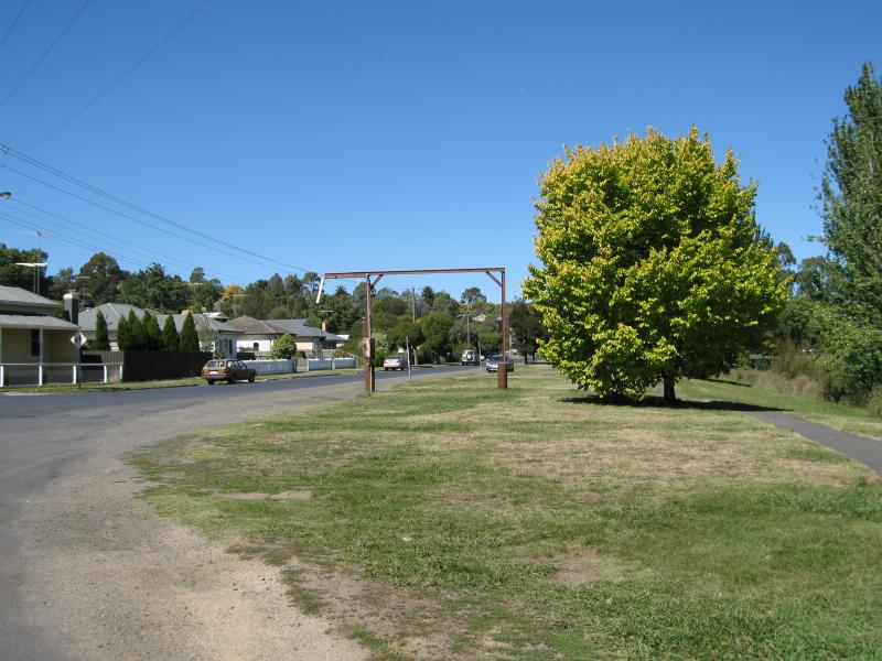
 Hudson Park, Sydney Street between Bourke Street and Foote Street - Bowling club, view south along Sydney St at Bourke St
 Hudson Park, Sydney Street between Bourke Street and Foote Street - View east across bowling club lawns towards cable tramway station
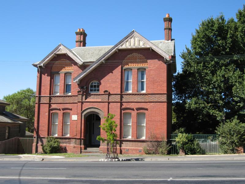 Historical buildings, Powlett Street and Sydney Street at Foote Street - Police Barracks
 Historical buildings, Powlett Street and Sydney Street at Foote Street - Old court house
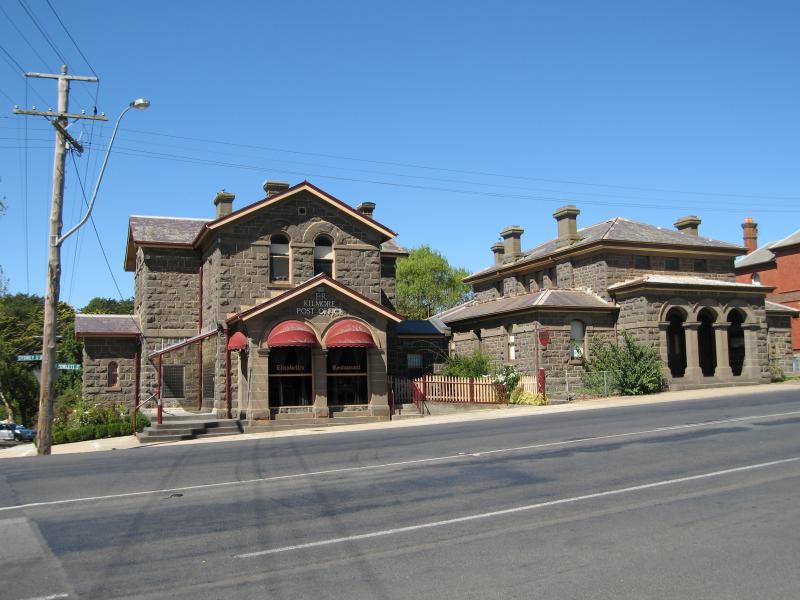 Historical buildings, Powlett Street and Sydney Street at Foote Street - Old post office and court house
 Historical buildings, Powlett Street and Sydney Street at Foote Street - Old post office
 Historical buildings, Powlett Street and Sydney Street at Foote Street - View west along Foote St towards old post office
 Historical buildings, Powlett Street and Sydney Street at Foote Street - View south along Powlett St at Foote St
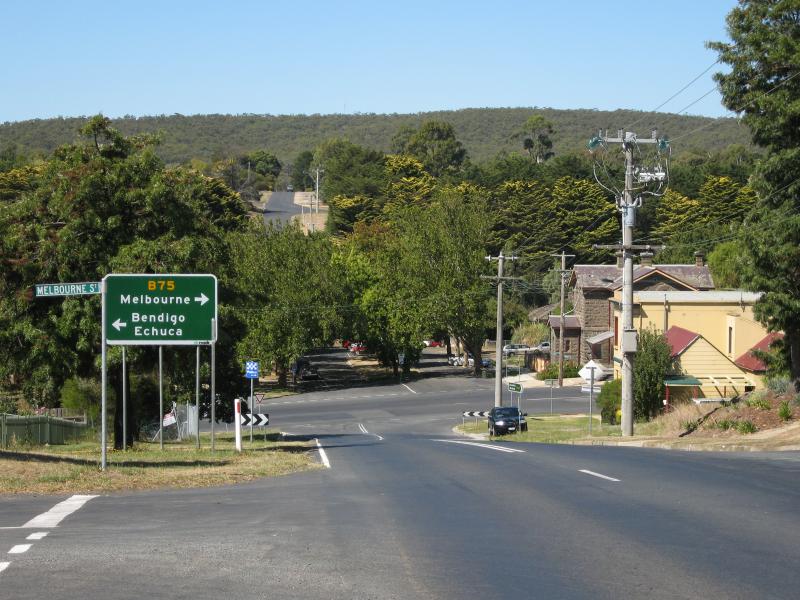
 Historical buildings, Powlett Street and Sydney Street at Foote Street - View north along Sydney St at Foote St
 Historical buildings, Powlett Street and Sydney Street at Foote Street - View south along Sydney St towards Foote St
 Taylor Reserve, Victoria Parade along Kilmore Creek - View north-east along Gipps St at Victoria Pde
 Taylor Reserve, Victoria Parade along Kilmore Creek - View south along Taylor Reserve and Victoria Pde at Gipps St
 Taylor Reserve, Victoria Parade along Kilmore Creek - View south along Kilmore Creek at Union St
 Taylor Reserve, Victoria Parade along Kilmore Creek - View west across Taylor Reserve and Kilmore Creek near Union St
 Churches of Kilmore - St Patricks Catholic Church, Sutherland St opposite Rutledge St
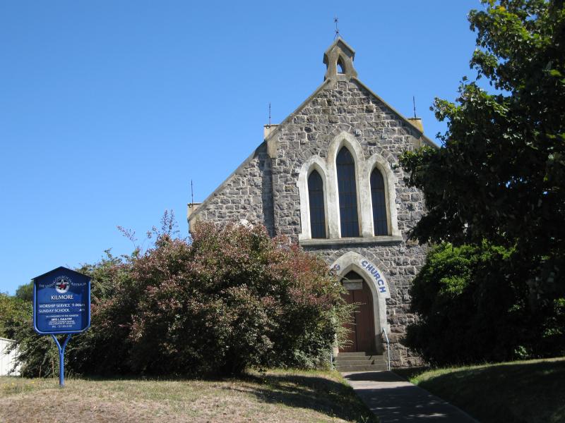 Churches of Kilmore - Uniting Church, Powlett St near Piper St
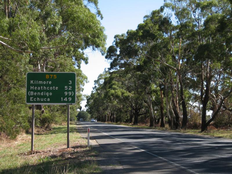 Around Kilmore - View north along Northern Hwy, 3 km south of Kilmore
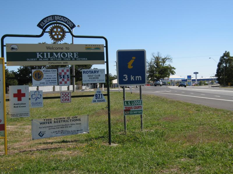 Around Kilmore - Kilmore town sign, view north along Northern Hwy towards Old Mill Rd
 Around Kilmore - Silkie Gardens nursery, view south along Powlett St towards Allen St
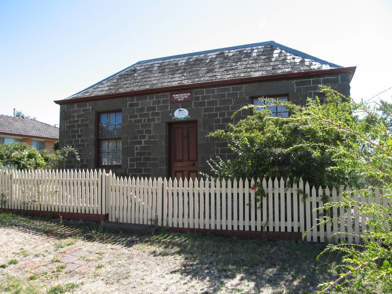 Around Kilmore - Whitburgh Cottage, Piper St
 Around Kilmore - Old Kilmore Gaol, Sutherland St opposite primary school
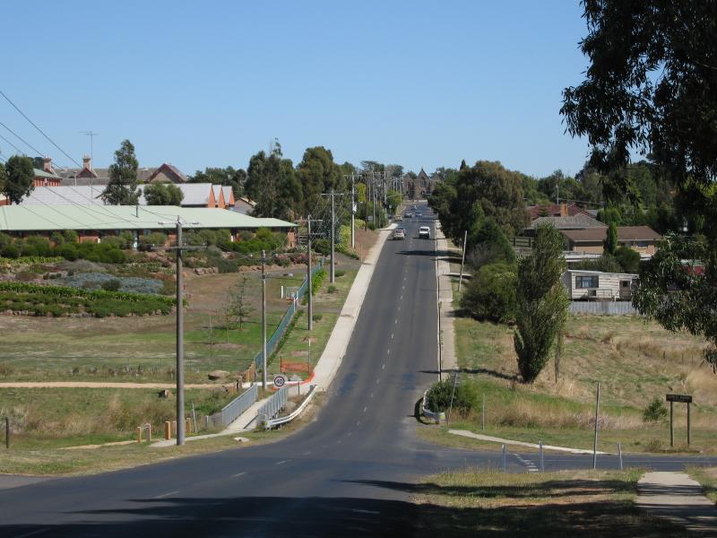
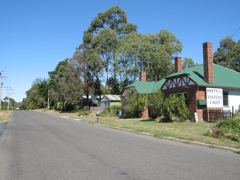
 Around Kilmore - View east along Foote St at Melbourne St
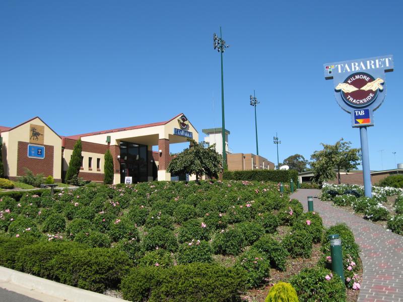 Racecourse, East Street - Taberet bistro and gaming venue, East St opposite Gipps St
 Racecourse, East Street - Kilmore and harness racing monument at Taberet bistro and gaming venue
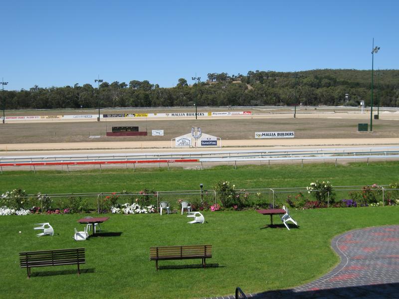
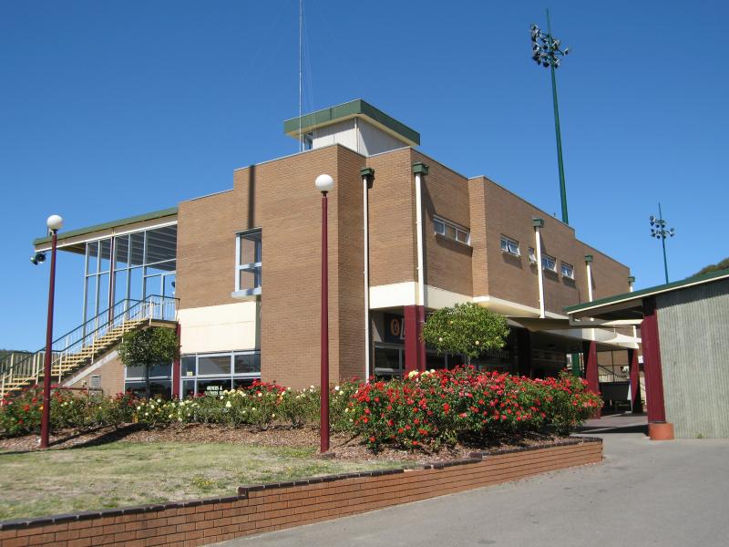 Racecourse, East Street - Racecourse pavillion
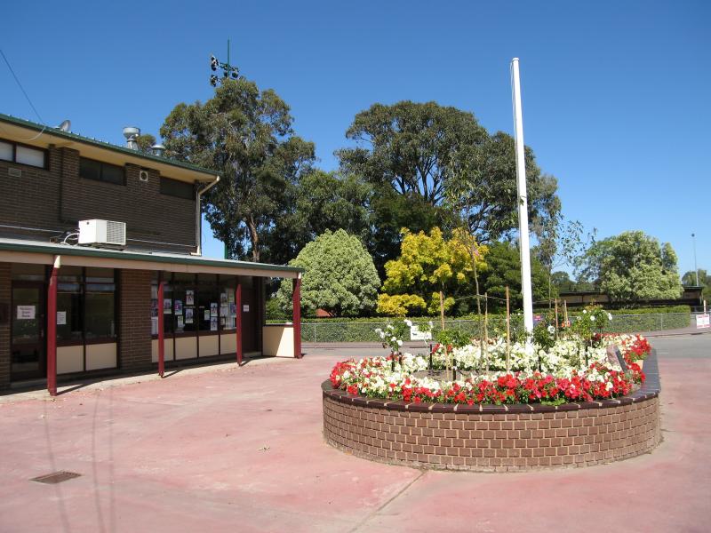 Racecourse, East Street - Courtyard at pavillion
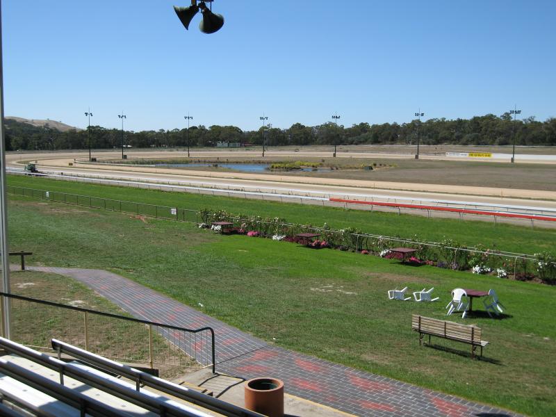
 Racecourse, East Street - View south along race track from pavillion
 Racecourse, East Street - View east across race track from pavillion
 Racecourse, East Street - View north along race track from pavillion
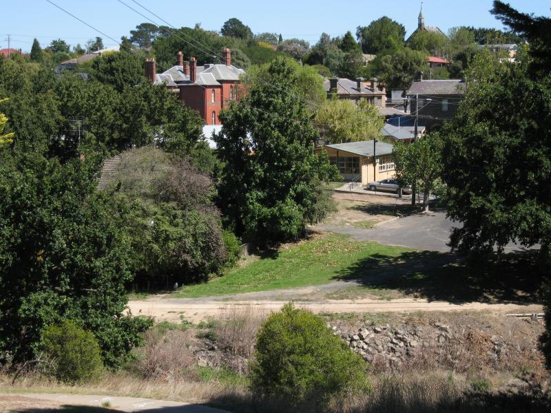
 Parks along Kilmore Creek at Rutledge Street - View west along Rutledge St towards Ryans Rd and Kilmore Creek
 Parks along Kilmore Creek at Rutledge Street - View north through Apex Park, corner Rutledge St and Ryans Rd
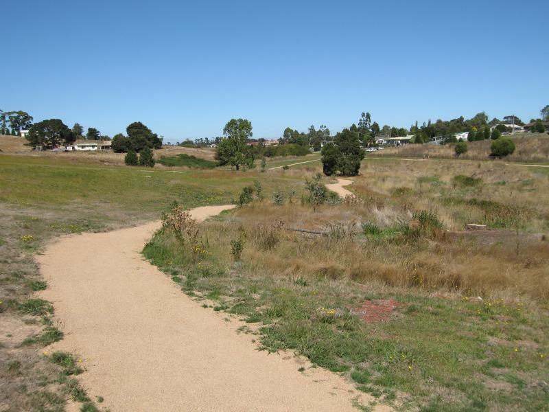 Parks along Kilmore Creek at Rutledge Street - Walking track through Sam De Gabrielle Reserve, view south along Kilmore Creek at Rutledge Rd
 Parks along Kilmore Creek at Rutledge Street - View west across Kilmore Creek at Sam De Gabrielle Reserve
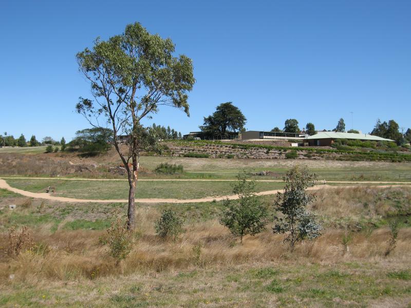
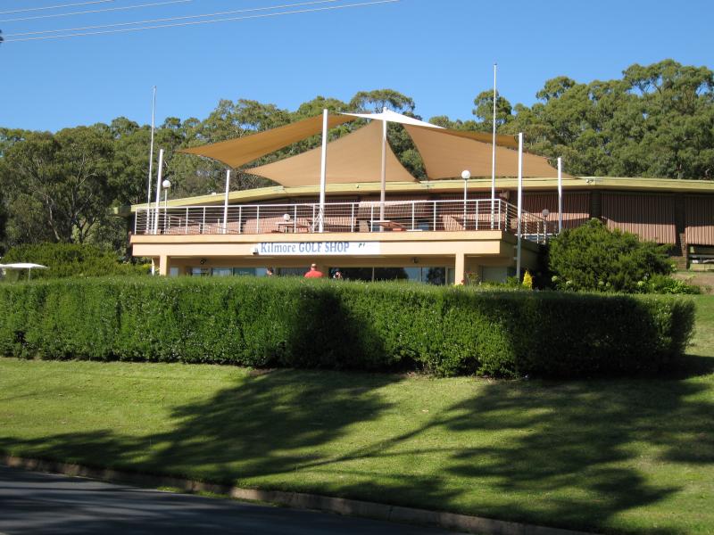 Golf Course, Rutledge Street - Club house, Rutledge St near Club Pde
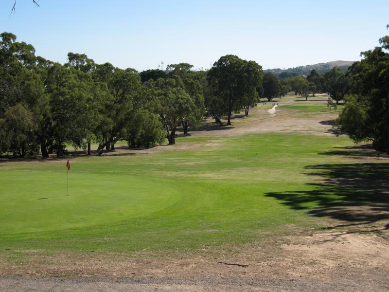
 Golf Course, Rutledge Street - View of greens from Rutledge St
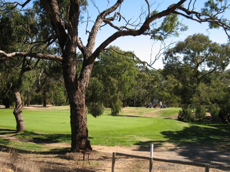
 Golf Course, Rutledge Street - View north along fairway from Rutledge St
 Monument Hill and Hume & Hovell Memorial Lookout Tower - View east along Monument Rd at Rutledge Rd
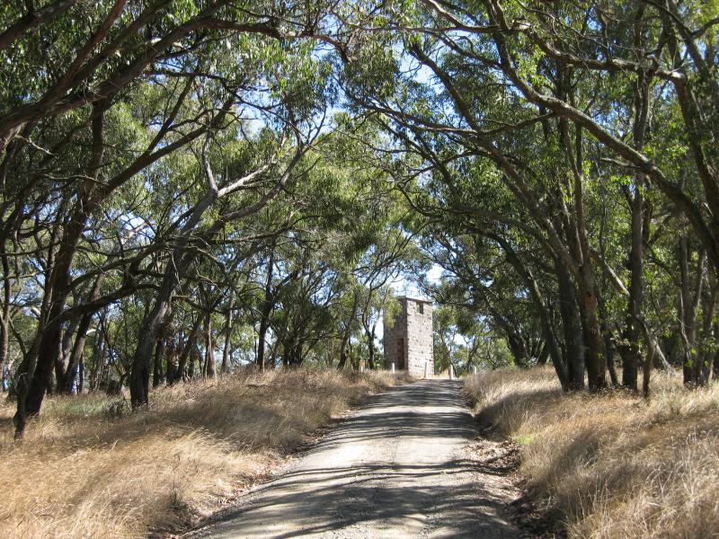 Monument Hill and Hume & Hovell Memorial Lookout Tower - View along Monument Rd towards lookout tower
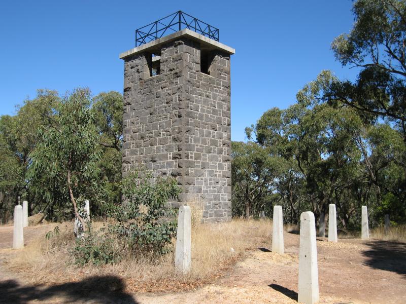 Monument Hill and Hume & Hovell Memorial Lookout Tower - Lookout tower
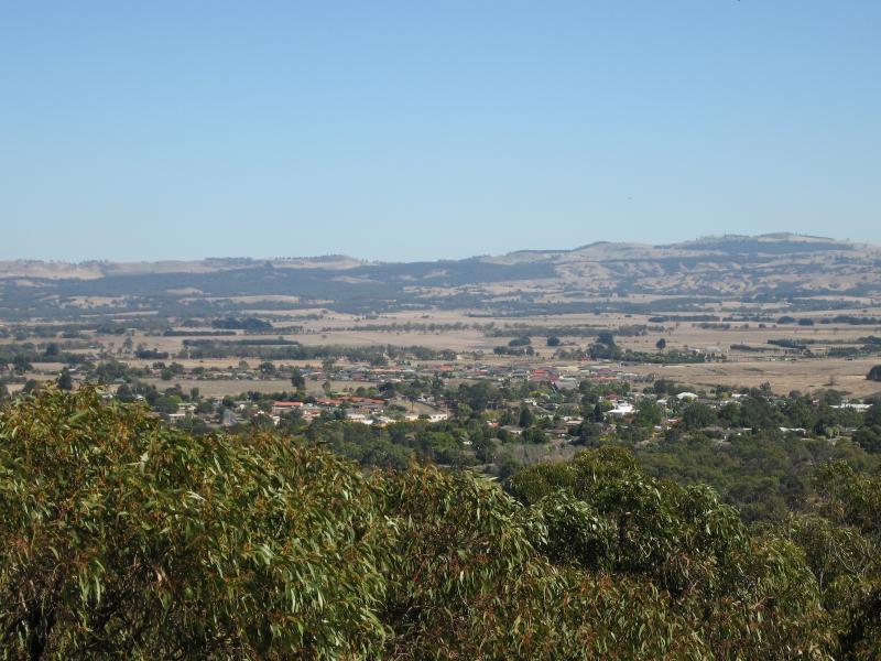
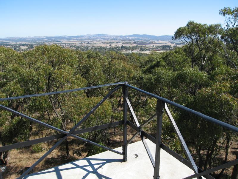 Monument Hill and Hume & Hovell Memorial Lookout Tower - View west from top of tower
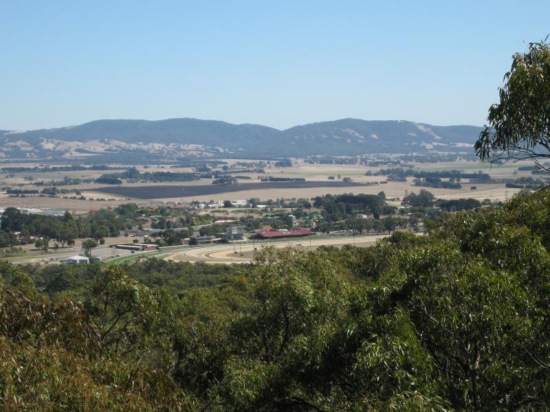
 Monument Hill and Hume & Hovell Memorial Lookout Tower - View south-west from top of lookout tower
 Monument Hill and Hume & Hovell Memorial Lookout Tower - View south-west from top of lookout tower
 Monument Hill and Hume & Hovell Memorial Lookout Tower - View west from top of lookout tower
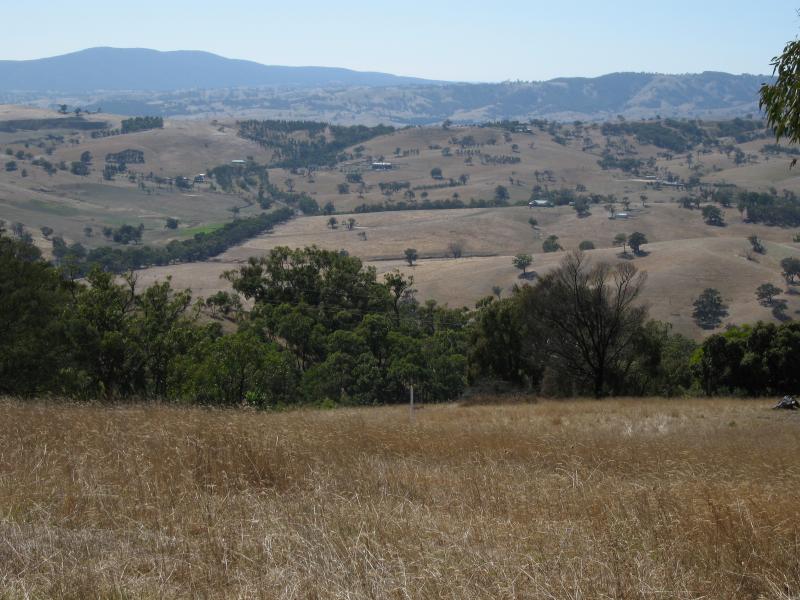
 Monument Hill and Hume & Hovell Memorial Lookout Tower - View north-west from top of lookout tower towards racecourse
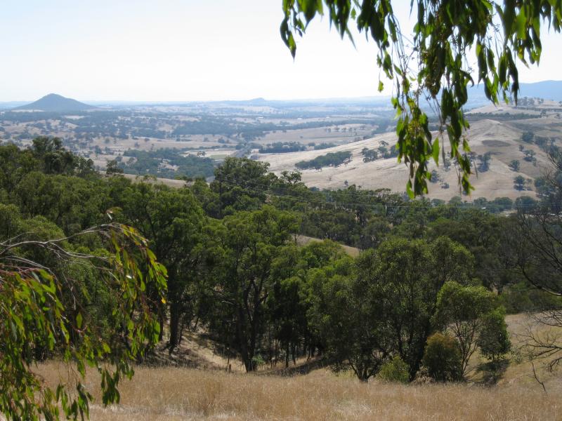
 Monument Hill and Hume & Hovell Memorial Lookout Tower - View east from near base of lookout tower
 Monument Hill and Hume & Hovell Memorial Lookout Tower - View east from near base of lookout tower
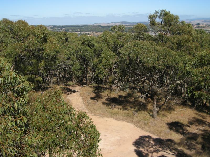
 Monument Hill and Hume & Hovell Memorial Lookout Tower - Easterly view, south of lookout tower
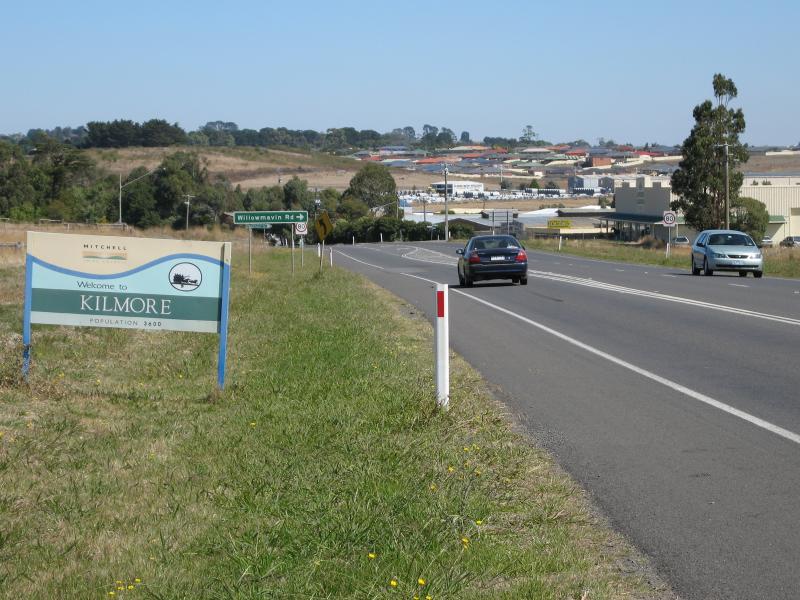 Northern Highway, north of Kilmore - Kilmore town sign, view south along Northern Hwy towards Willowmavin Rd
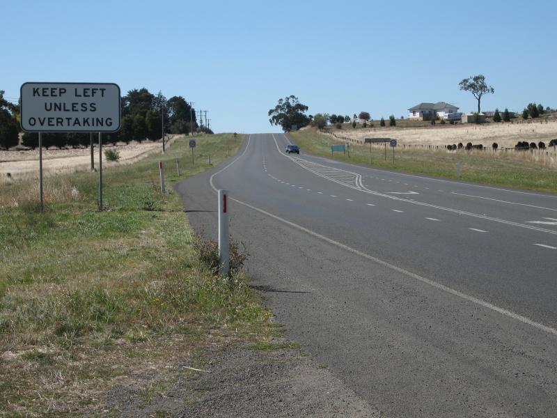 Northern Highway, north of Kilmore - View north along Northern Hwy, north of Willowmavin Rd
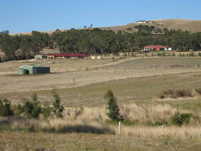 Northern Highway, north of Kilmore - View east, Northern Hwy south of Broadford Rd
 Kilmore East - View east along Kilmore East Rd, east of Racecourse
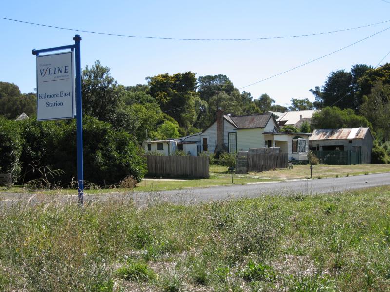
 Kilmore East - View south along road at entrance to railway station
 Kilmore East - View north along road at entrance to railway station
 Kilmore East - View south along platform at Kilmore East station
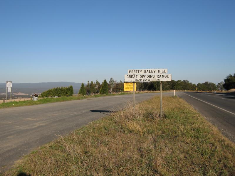 Pretty Sally Hill, Northern Highway between Kilmore and Wallan - View south along Northern Hwy at stopping bay
 Pretty Sally Hill, Northern Highway between Kilmore and Wallan - View east from stopping bay