Lake Bolac - public transport
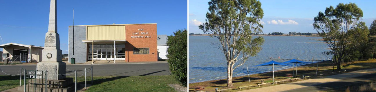
Lake Bolac
Stay
See and do
Food and drink
Shopping
Getting around
Visitor information
Train
Ararat station
(50 km away)
| Line | Operator | Timetable and stops | Map |
|---|---|---|---|
| Ararat |  |
Ararat - Melbourne Via Ararat, Beaufort, Wendouree, Ballarat, Ballan, Bacchus Marsh, Melton, Cobblebank, Rockbank, Caroline Springs, Deer Park, Ardeer, Sunshine, Footscray, Southern Cross |
|
| The Overland |  |
Melbourne to Adelaide Via Southern Cross, North Shore, Ararat, Stawell, Horsham, Dimboola, Nhill, Bordertown (SA), Murray Bridge (SA), Adelaide (SA) |
Ballarat, Wendouree stations
(99 km away)
| Line | Operator | Timetable and stops | Map |
|---|---|---|---|
| Ballarat | |
Ballarat - Melbourne Via Wendouree, Ballarat, Ballan, Bacchus Marsh, Melton, Cobblebank, Rockbank, Caroline Springs, Deer Park, Ardeer, Sunshine, Footscray, Southern Cross |
|
| Ararat | |
Ararat - Melbourne Via Ararat, Beaufort, Wendouree, Ballarat, Ballan, Bacchus Marsh, Melton, Cobblebank, Rockbank, Caroline Springs, Deer Park, Ardeer, Sunshine, Footscray, Southern Cross |
|
| Maryborough | |
Maryborough - Melbourne Via Maryborough, Talbot, Clunes, Creswick, Ballarat |
Bus
| Route | Operator | Timetable | Map |
|---|---|---|---|
| Ararat to Lake Bolac Via Ararat station, Maroona, Willaura |
Christian's | ||
| Mount Gambier (SA) to Ballarat Via Casterton, Coleraine, Hamilton, Dunkeld, Glenthompson, Lake Bolac, Skipton, Linton, Smythesdale, Ballarat station |
|
Taxi
| Operator | Areas covered | Phone |
|---|---|---|
| Ararat Cabs | Ararat, Elmhurst, Glenthompson, Great Western, Halls Gap, Lake Bolac, Moyston, Pomonal, Willaura | (03) 5352 7777 |
| Ararat Taxi Services | Ararat, Beaufort, Buangor, Elmhurst, Glenthompson, Great Western, Halls Gap, Lake Bolac, Maroona, Moyston, Pomonal, Raglan, Stawell | (03) 5352 2233 |