Maldon - photos
Maldon
Stay
See and do
Food and drink
Shopping
Getting around
Visitor information
View south along Main St towards Templeton St
View south along Main St at Phoenix St
View north along Main St between Templeton St and High St
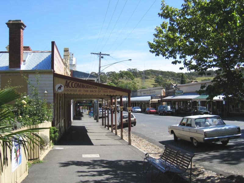
View south along Main St between Templeton St and High St
View south along Main St between Templeton St and High St
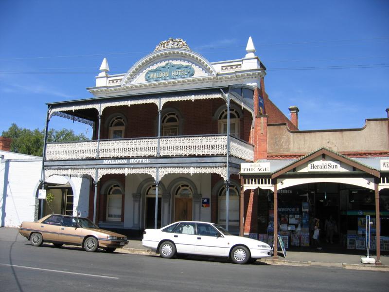
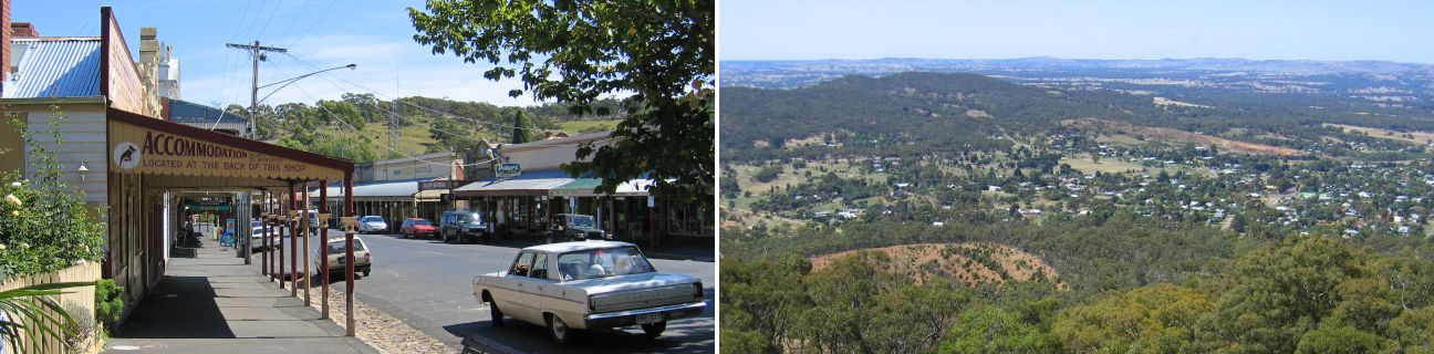
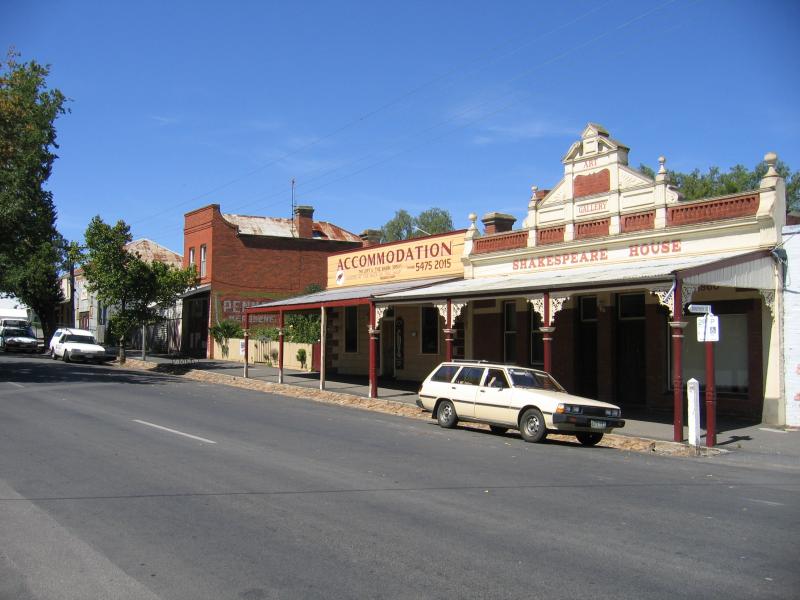
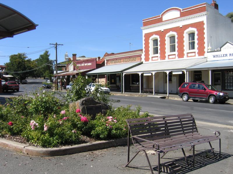
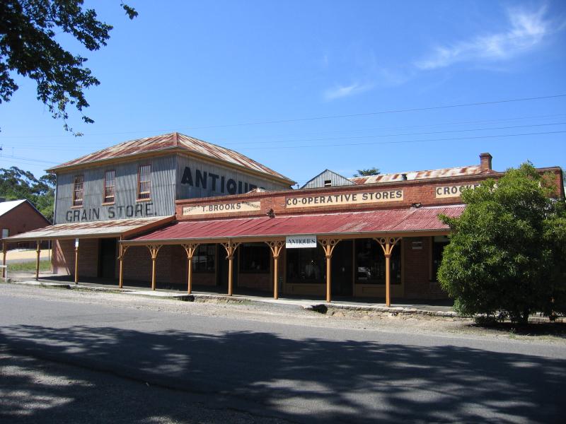
Maldon Hotel, Main St

View south along Main St between Templeton St and High St

View south along Main St between Templeton St and High St

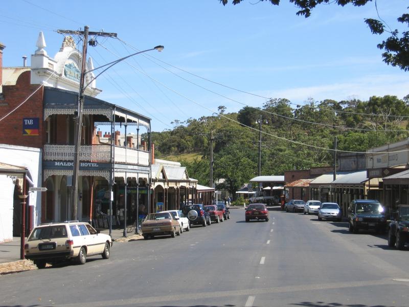
View north along Main St at High St
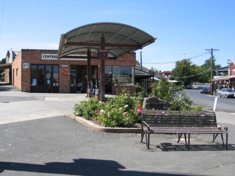
Central Service Centre, corner Main St and High St
View north along Main St at High St
View south along High St at Main St
View south along High St at Main St
View north along High St towards Main St
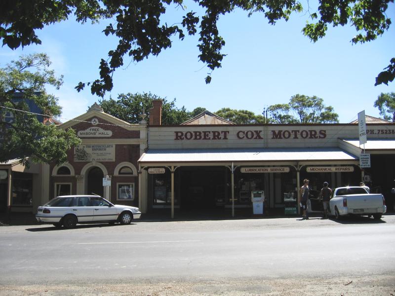
Robert Cox Motors, High St between Main St and Spring St
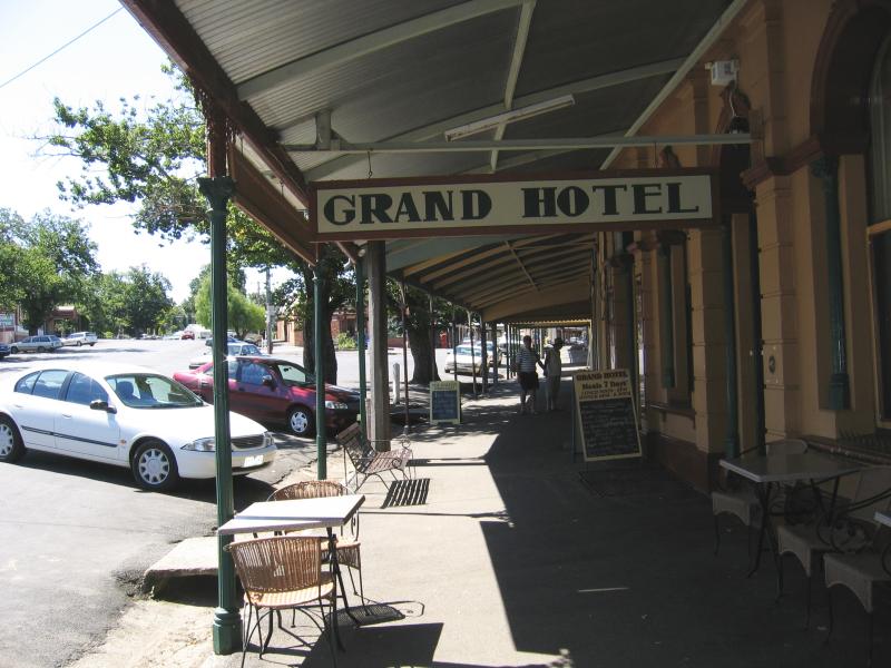
Grand Hotel, High St
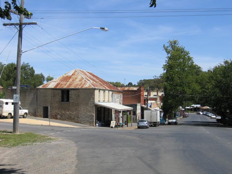
Corner of High St and Spring St
Gardens at Maldon Museum, High St
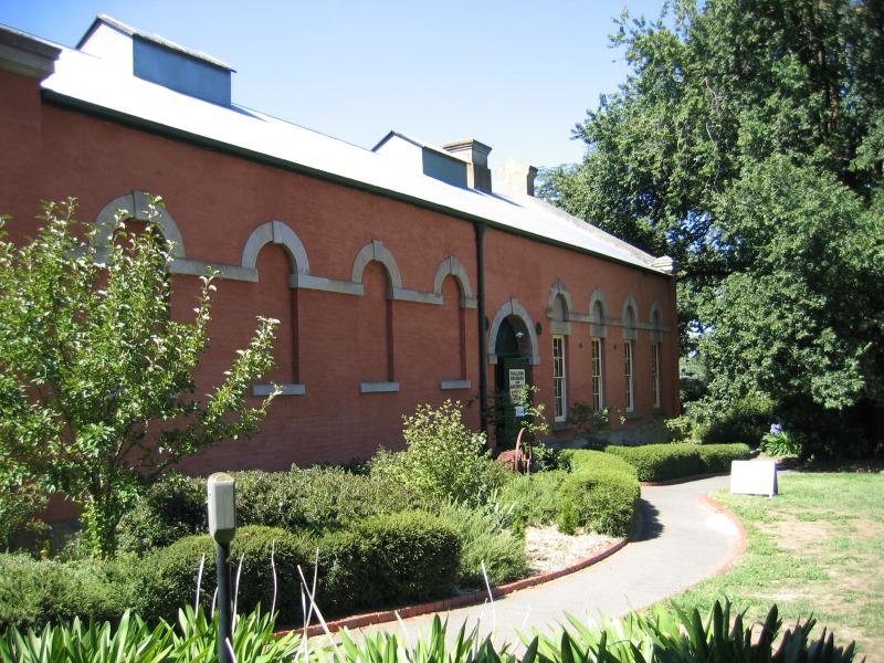
Maldon Museum, High St
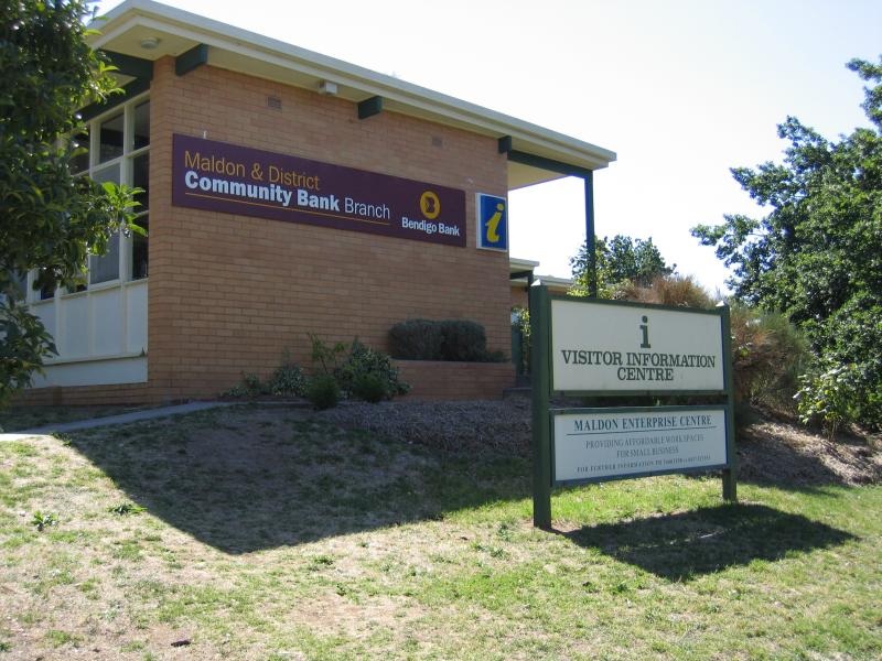
Maldon Visitor Information Centre, High St

Maldon Motor Museum, High St at Francis St
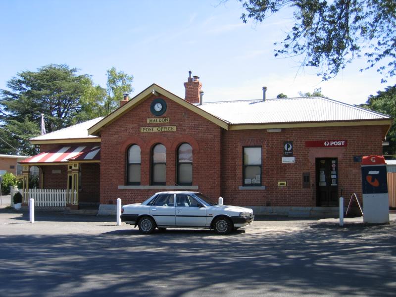
Maldon Post Office, High St
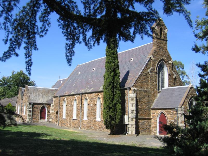
Anglican Church, High St

Maldon Progress Hall and Community Centre, Francis St
View north-west along Templeton St towards Edward St

Chimney
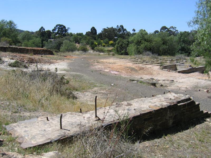
Mining ruins
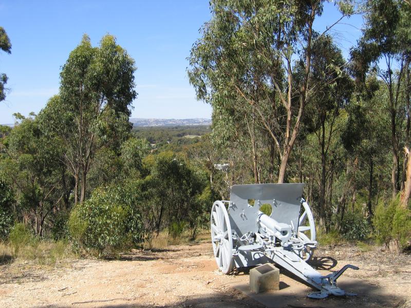
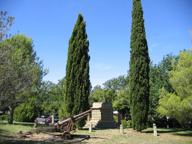
Turkish cannon
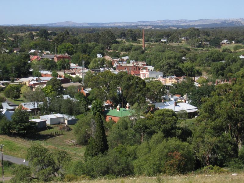
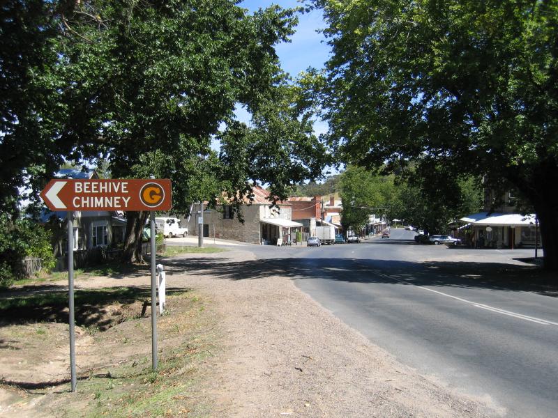
View north-east towards town centre and Beehive Chimney
View north towards oval and primary school
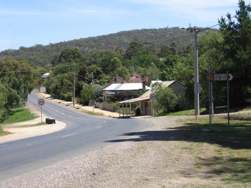
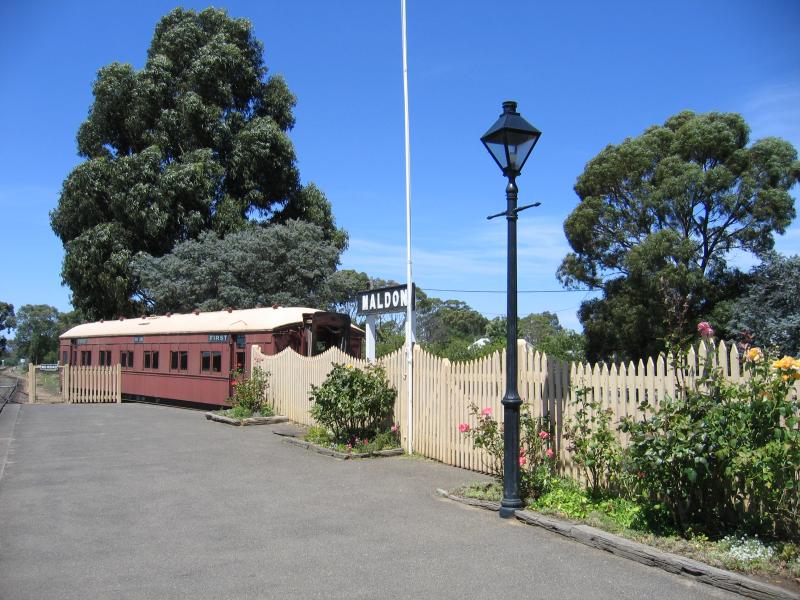
View south-west along Hornsby St at railway station
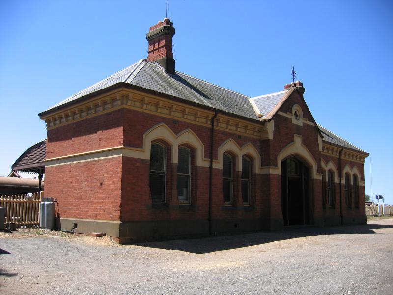
Station
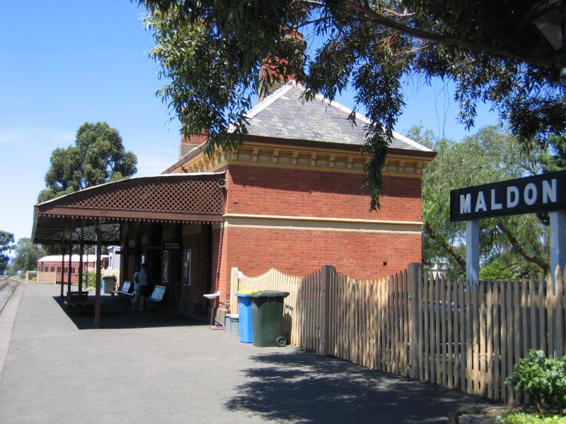
View east along platform
View east along platform
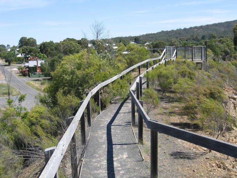
Walking track to mine lookout

View of mine from lookout
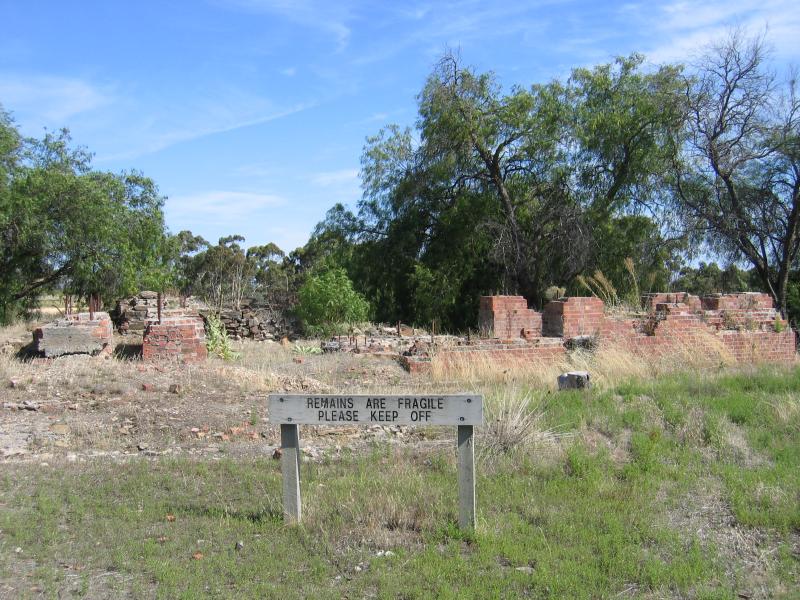
Mining ruins
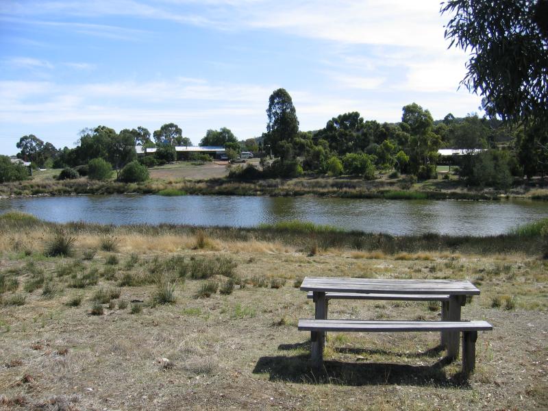
Lake
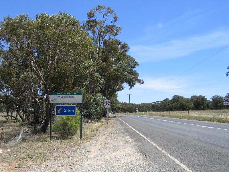
Welcome to Maldon sign, view west along Bendigo-Maldon Rd
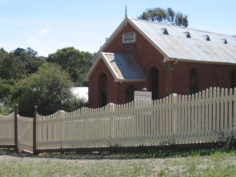
Welsh Church, corner Church St and Camp St
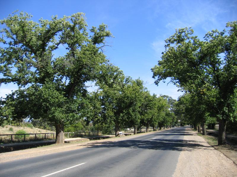
View south along High St between Tobin St and Union St
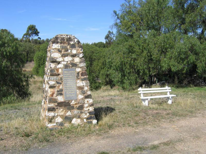
Monument honouring diggers who first discovered gold in the area, Castlemaine-Maldon Rd
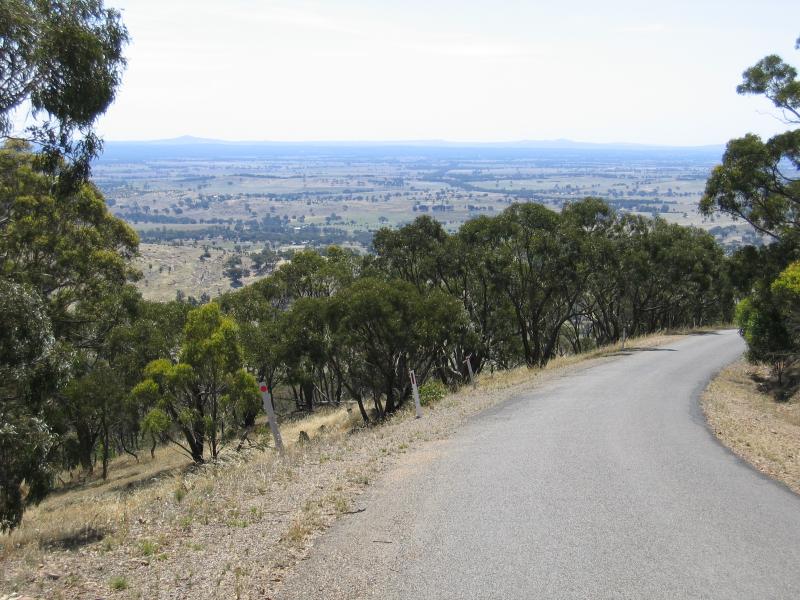
View along Mt Tarrengower Road
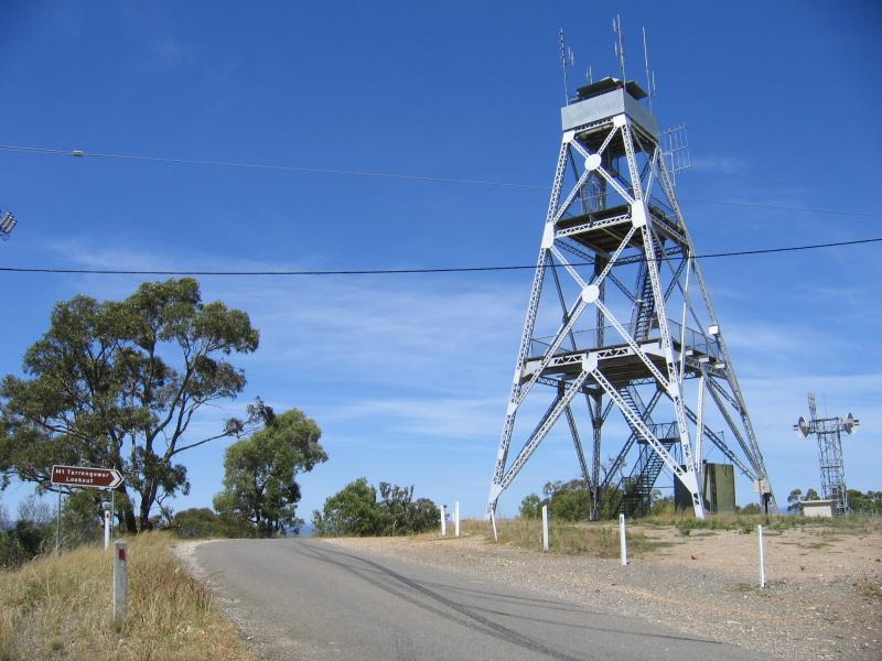
Lookout tower
View towards Maldon from car park
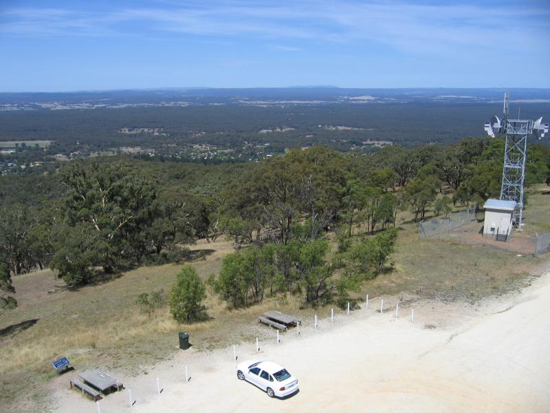
View from tower down to car park
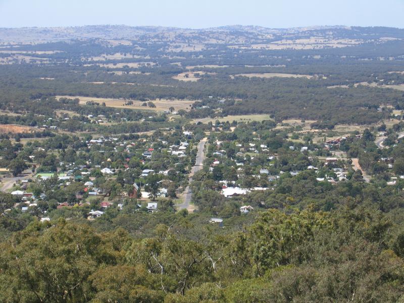
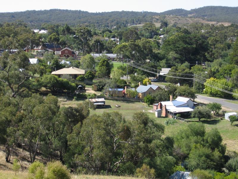
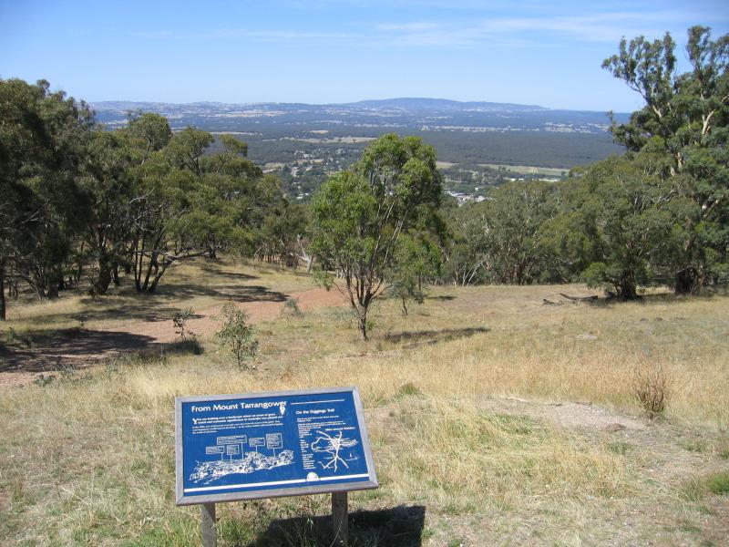
View east from lookout to Maldon
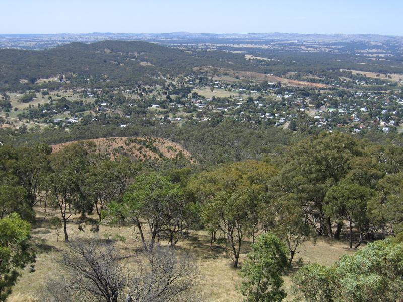
Easterly view from lookout
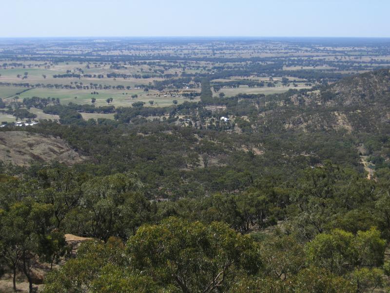
View from lookout
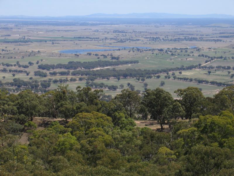
View from lookout
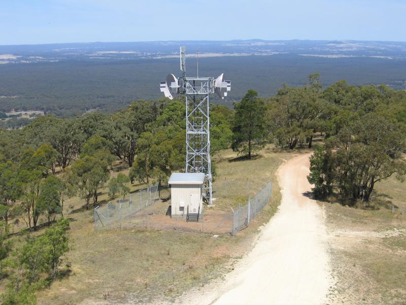
View from lookout towards communications tower
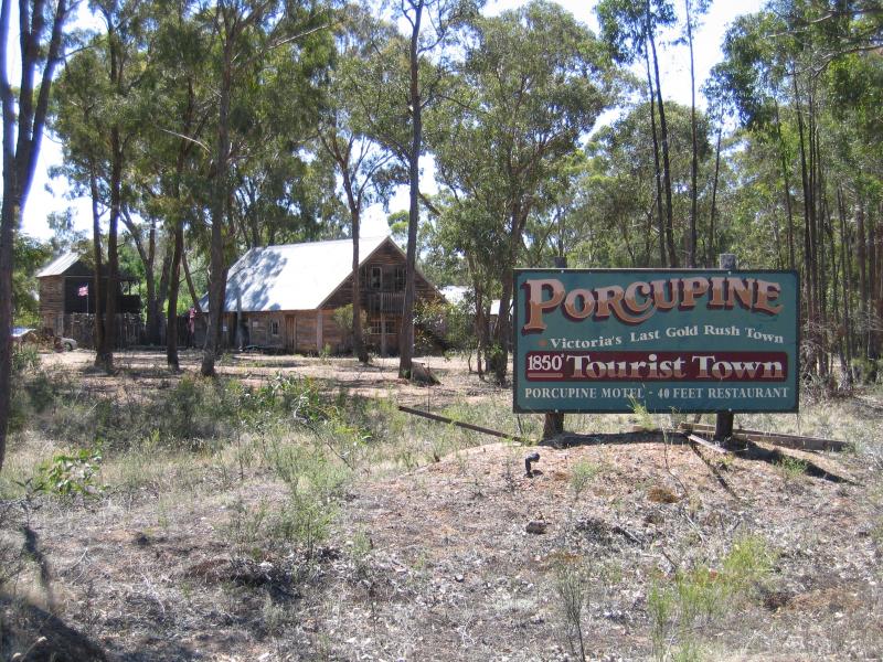
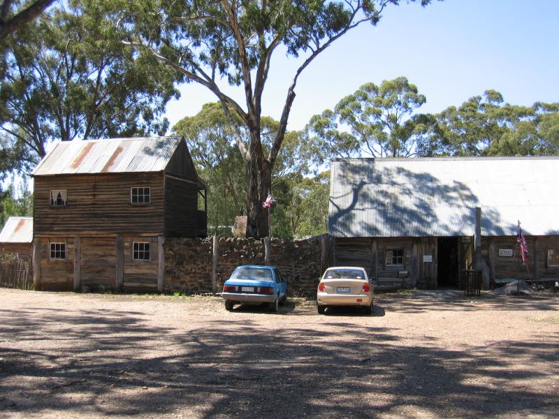
Sign on corner of Allans Road and Bendigo-Maldon Road
Car park
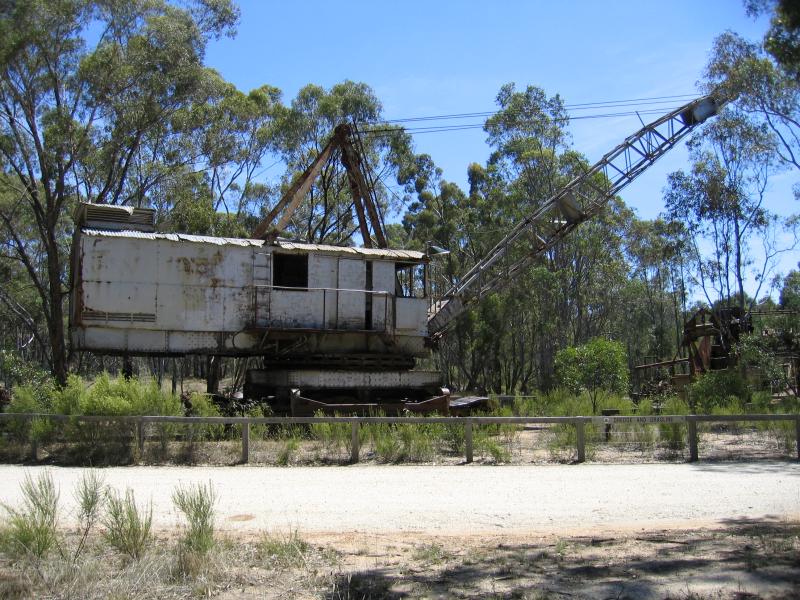
Excavator

Dredging on the Porcupine Creek