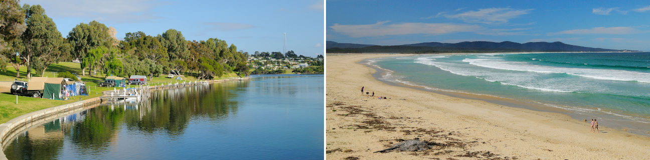
Mallacoota - photos
Mallacoota
Stay
See and do
Food and drink
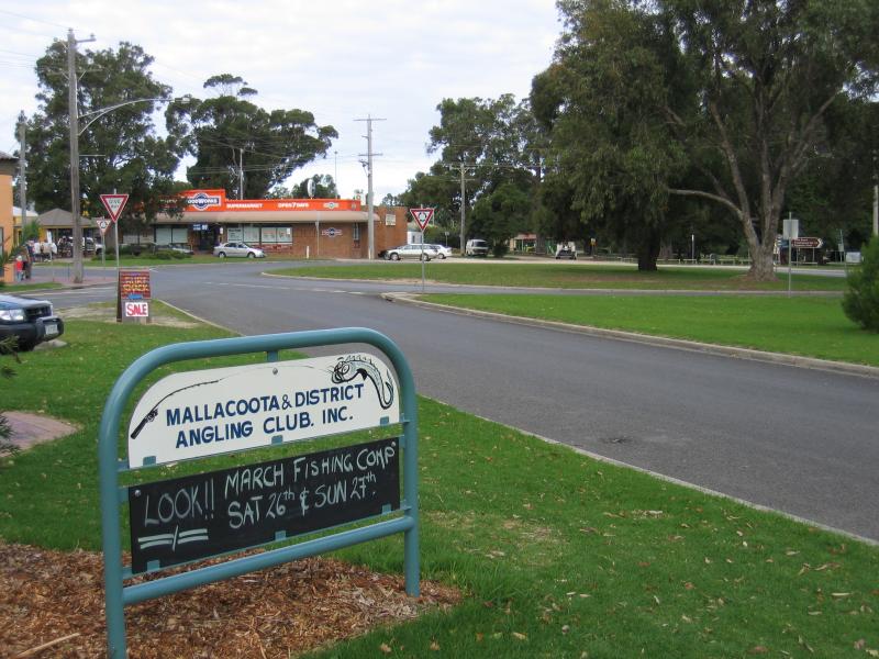
Shopping
Getting around
Visitor information
 Shops and commercial centre, Maurice Avenue - View east along gardens in Maurice Av median strip towards Betka Rd
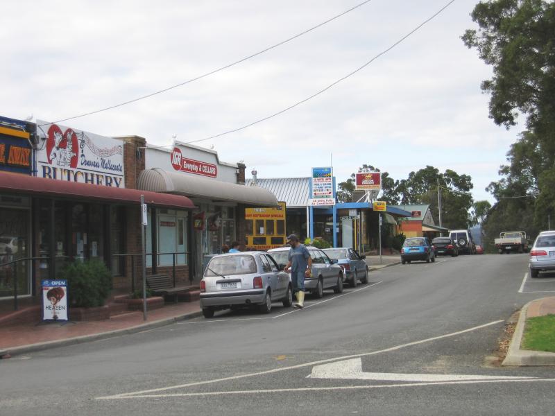
 Shops and commercial centre, Maurice Avenue - View west along Maurice Av at Betka Rd
 Shops and commercial centre, Maurice Avenue - View east along Maurice Av towards roundabout at Betka Rd
 Shops and commercial centre, Maurice Avenue - View north-east along Maurice Av at Betka Rd towards shops and car park in centre median
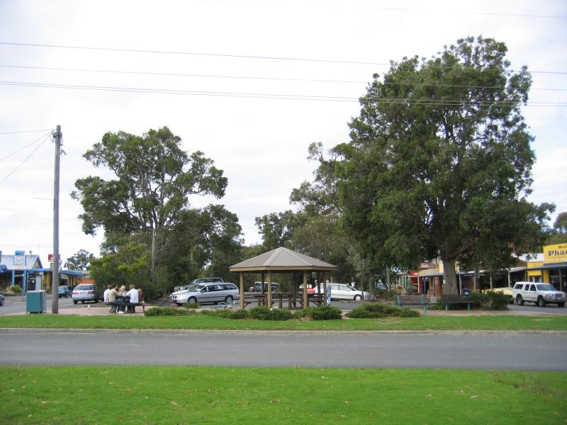
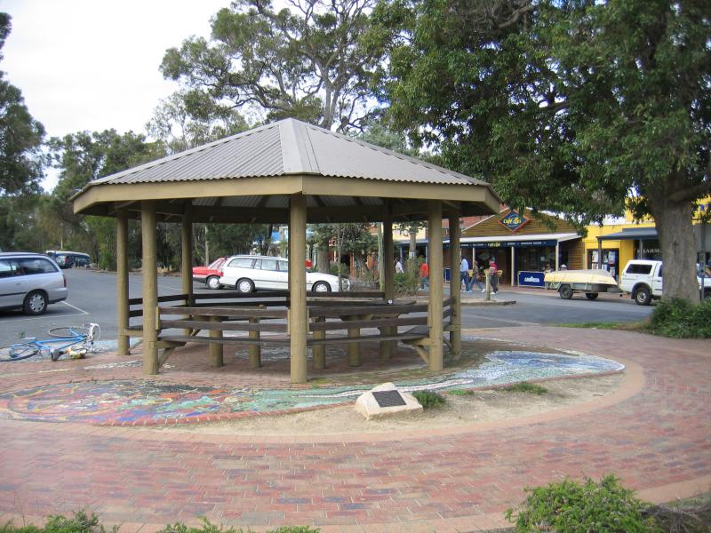 Shops and commercial centre, Maurice Avenue - Rotunda, Maurice Ave opposite Betka Rd
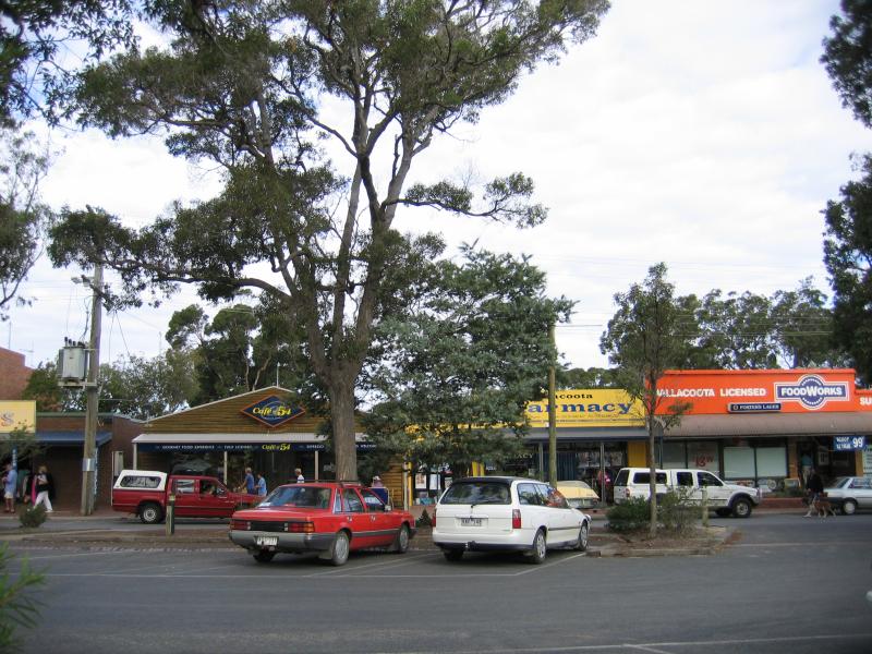
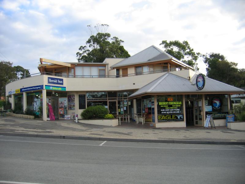
 Shops and commercial centre, Maurice Avenue - Shops, view north-east along Maurice Av at roundabout
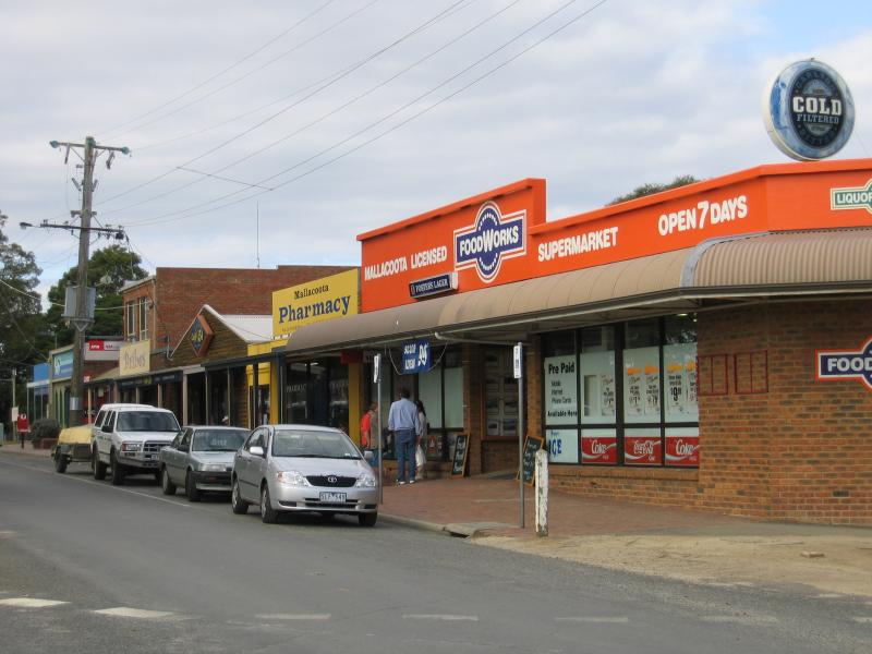 Shops and commercial centre, Maurice Avenue - Supermarket, view north-east along Maurice Av at roundabout
 Shops and commercial centre, Maurice Avenue - Shops along Maurice Av between Betka Rd and Greer St
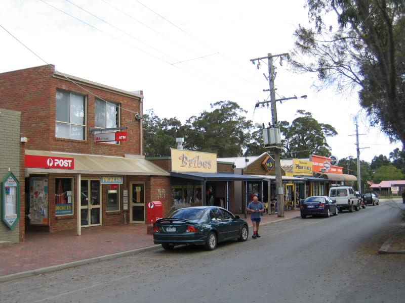 Shops and commercial centre, Maurice Avenue - Post Office and shops, view south-west along Maurice Av towards Betka Rd
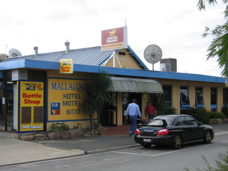 Shops and commercial centre, Maurice Avenue - Mallacoota Hotel, Maurice Av
 Shops and commercial centre, Maurice Avenue - View north-east along Maurice Av towards Allan Dr
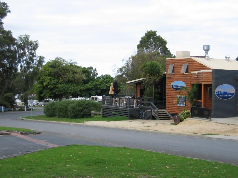 Shops and commercial centre, Maurice Avenue - The Tide Restaurant, Maurice Av at Allan Dr
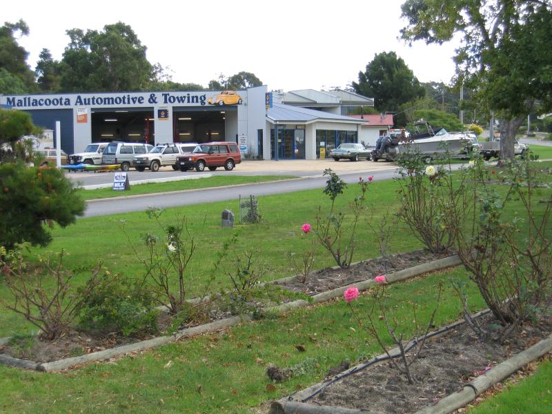
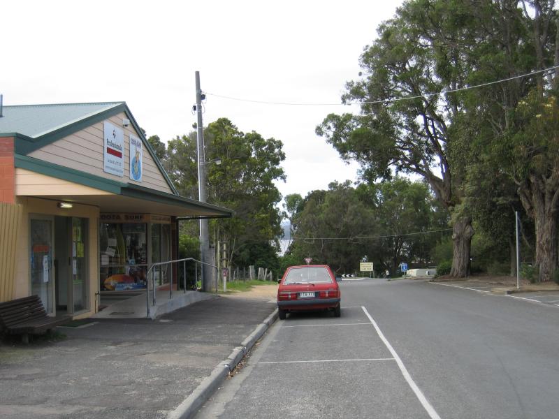
 Allan Drive area - Shops, Allan Dr at Dorron Av
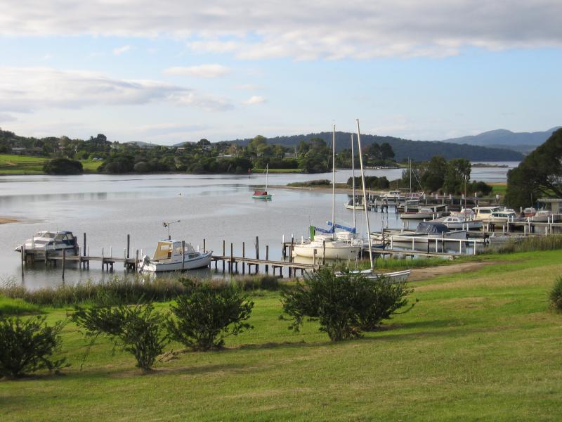
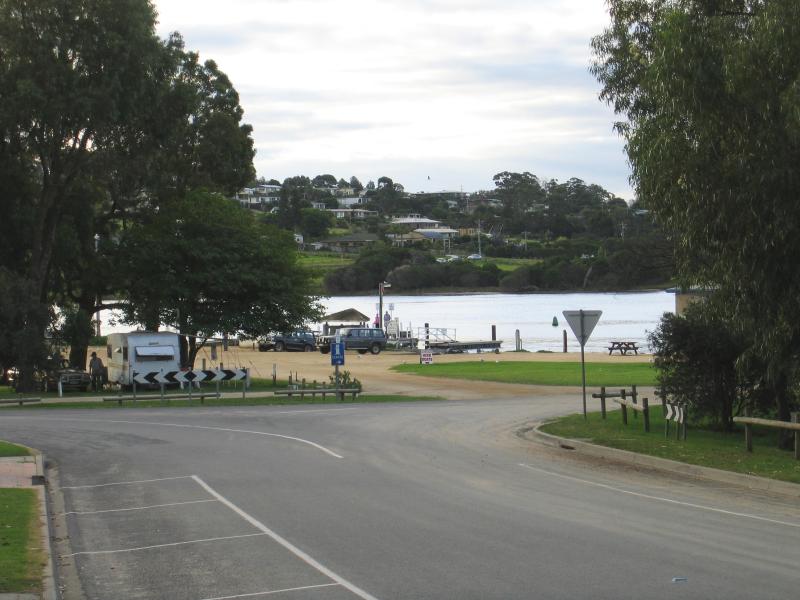 Allan Drive area - View north-west along Allan Rd towards Buckland Dr and Mallacoota Wharf
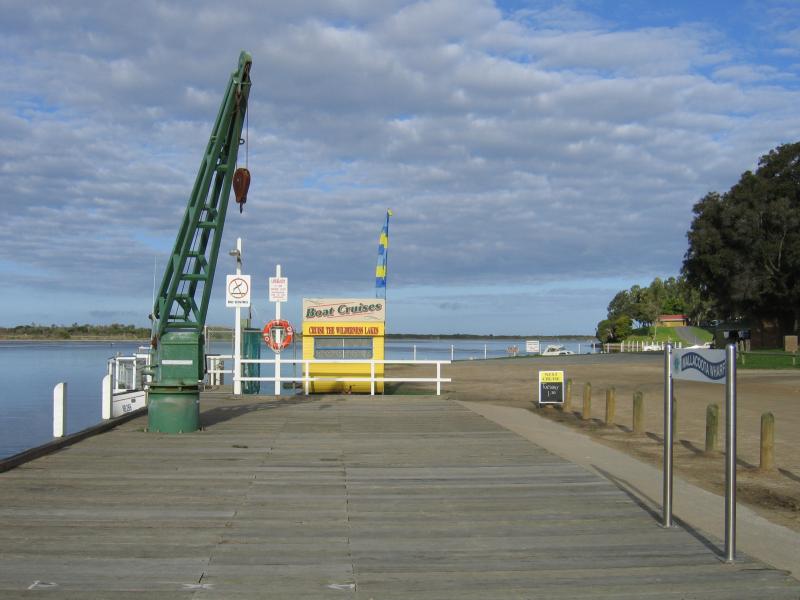
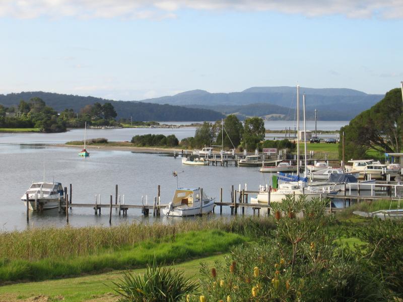
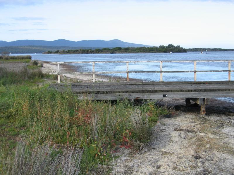
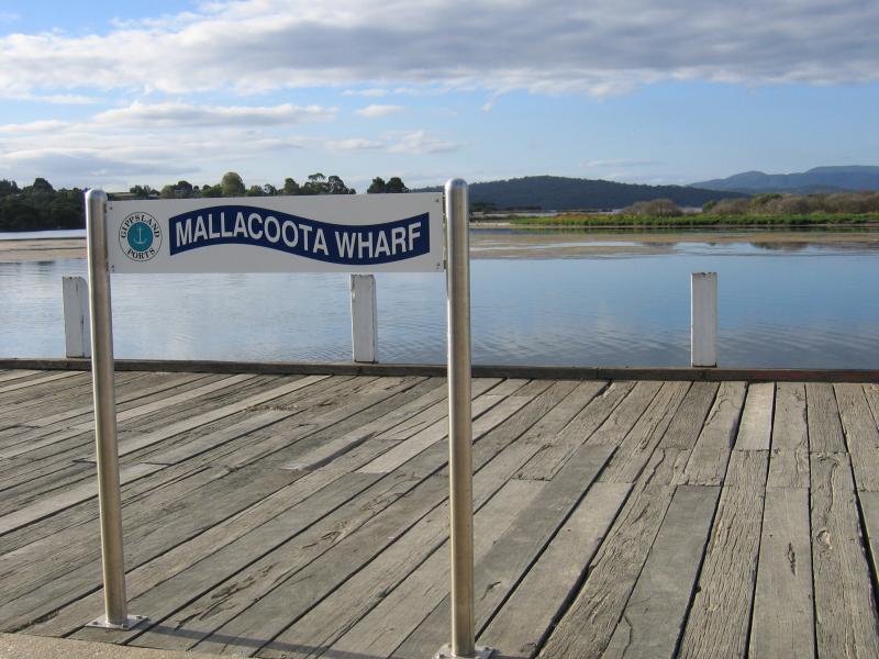 Mallacoota Wharf, northern end of Buckland Drive - Sign at wharf, view north-east across Mallacoota Inlet
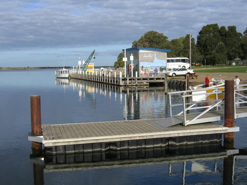
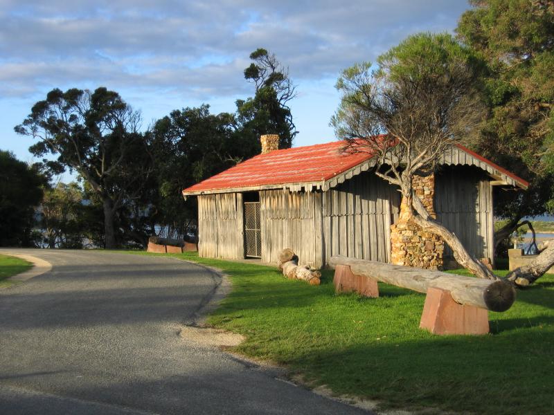
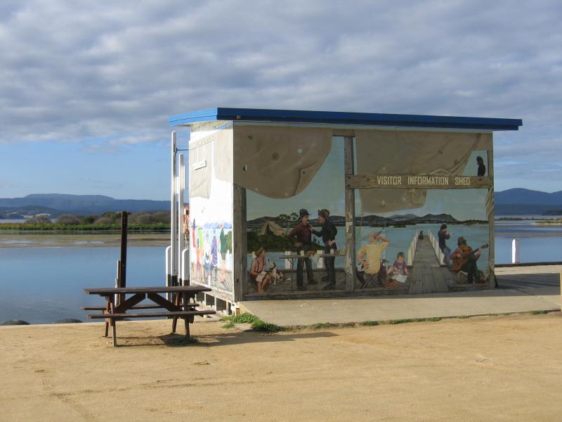 Mallacoota Wharf, northern end of Buckland Drive - Visitor Information Shed
 Mallacoota Wharf, northern end of Buckland Drive - View south-east along coast at wharf
 Mallacoota Wharf, northern end of Buckland Drive - Fish cleaning sinks at Slipway Jetty
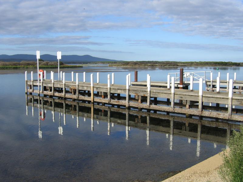
 Mallacoota Wharf, northern end of Buckland Drive - Mallacoota Slipway Jetty
 Mallacoota Wharf, northern end of Buckland Drive - View of Slipway Jetty
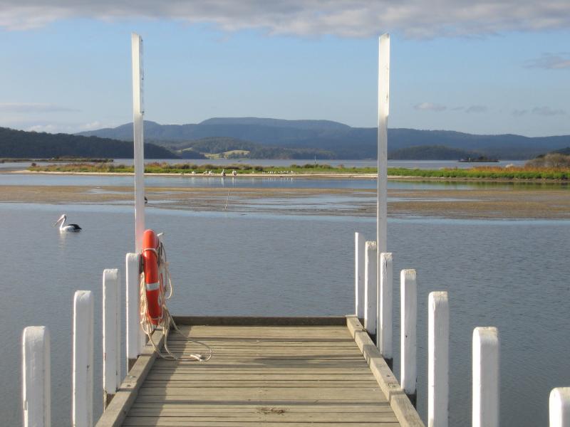 Mallacoota Wharf, northern end of Buckland Drive - View north-east across Mallacoota Inlet from end of Slipway Jetty
 Mallacoota Wharf, northern end of Buckland Drive - View south-east along coast towards wharf from Slipway Jetty
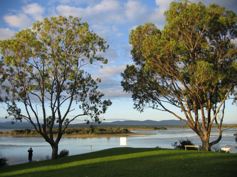
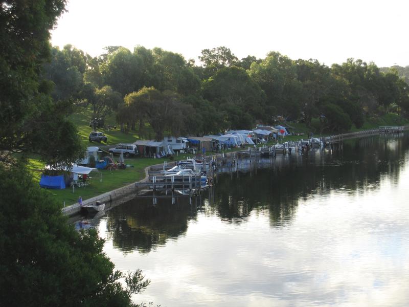
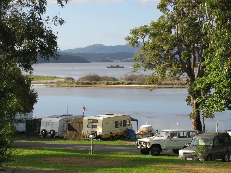 Foreshore Camping Park, Allan Drive - View across camping park from Allan Dr near Maurice Av
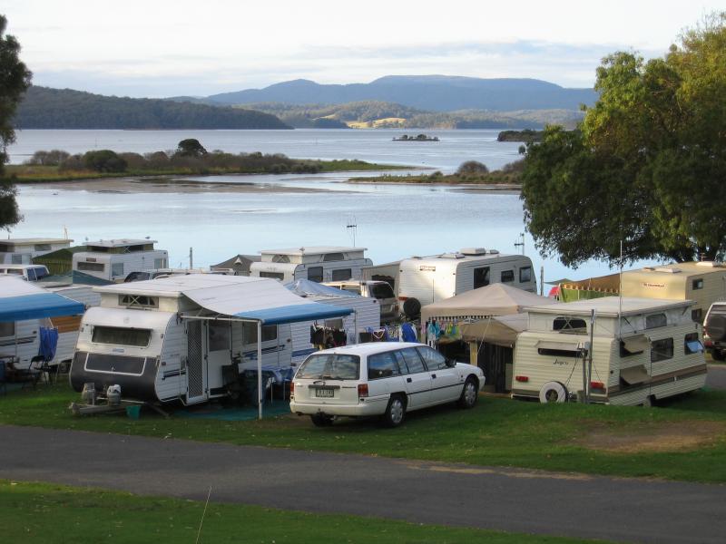 Foreshore Camping Park, Allan Drive - Caravans and campers, view across camping park from Allan Dr near Dorron Av
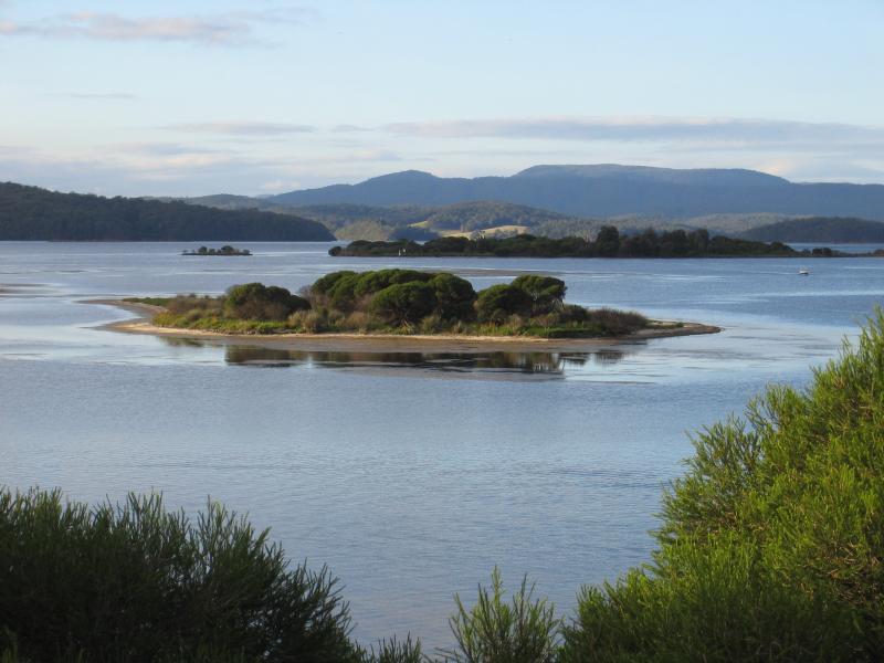 Foreshore Camping Park, Allan Drive - View east across Mallacoota Inlet from camping park
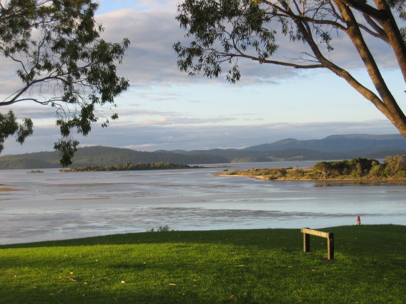
 Captain Stevensons Point, Allan Drive - View across Mallacoota Inlet at Captain Stevensons Point
 Captain Stevensons Point, Allan Drive - View east across inlet
 Captain Stevensons Point, Allan Drive - View across inlet
 Captain Stevensons Point, Allan Drive - View south
 Captain Stevensons Point, Allan Drive - View north-west along coast towards Foreshore Camping Park
 Recreation Reserve, south of Allan Drive - Cabin
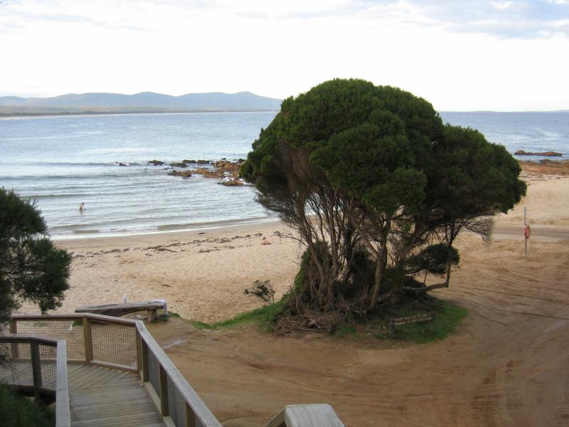
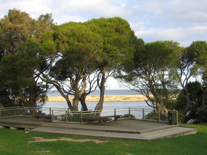 Recreation Reserve, south of Allan Drive - Seats and viewing platforms above beach
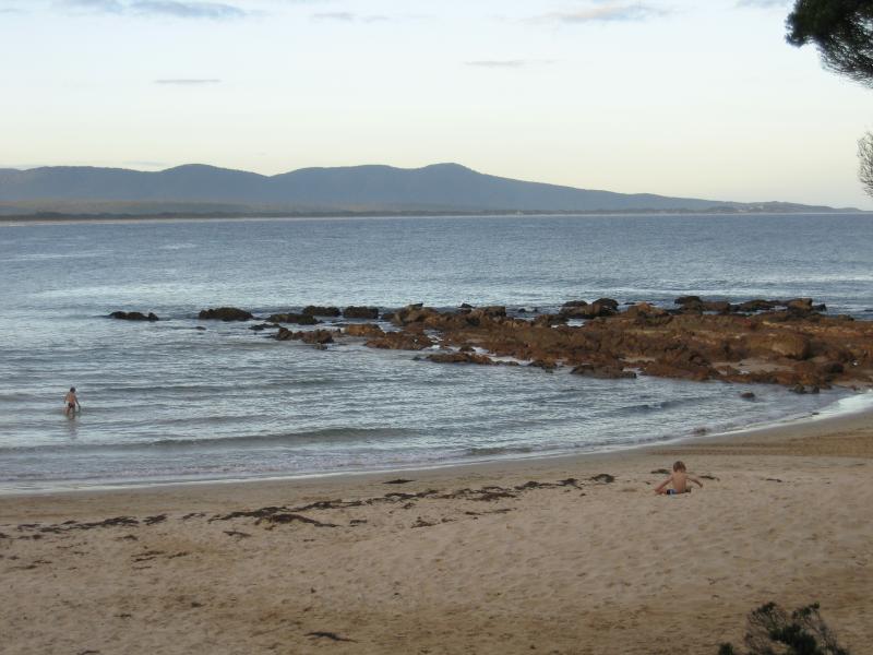
 Recreation Reserve, south of Allan Drive - View south-east along coast towards Bastion Point
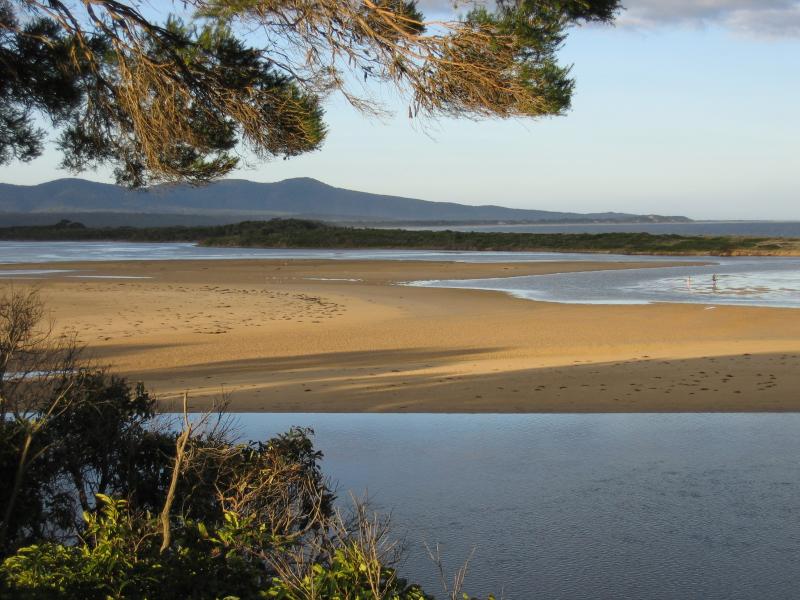
 Recreation Reserve, south of Allan Drive - View south-east towards beach at Develings Inlet
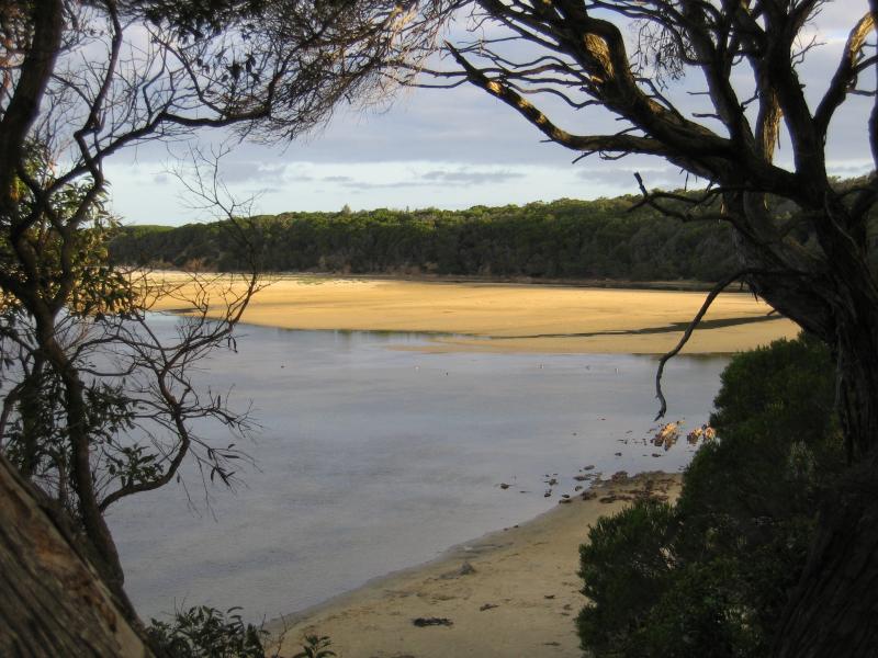
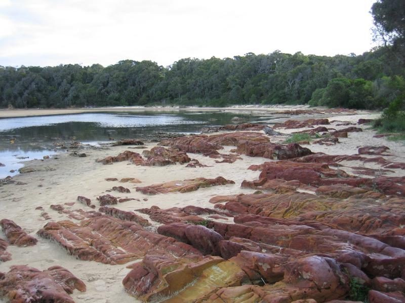
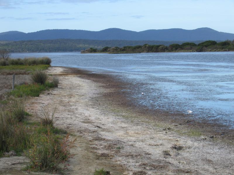
 Recreation Reserve, south of Allan Drive - View east across sand bar towards ocean
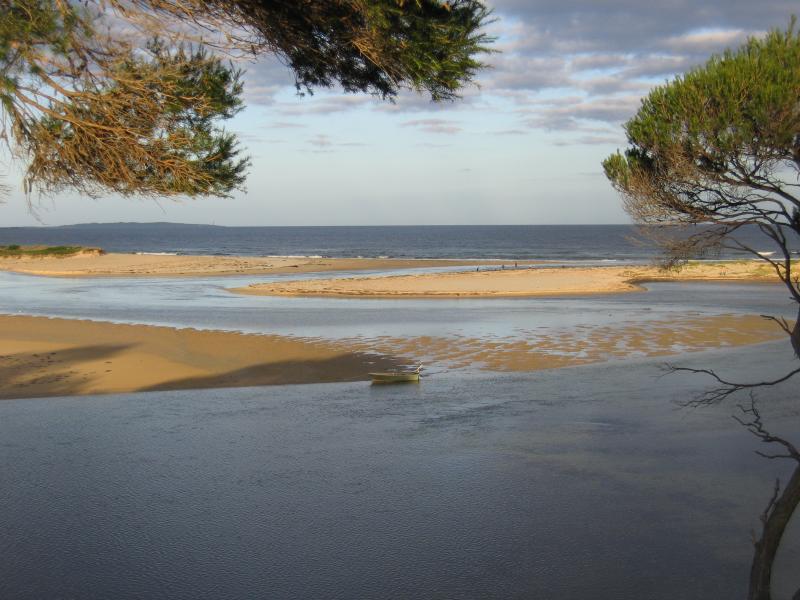
 Recreation Reserve, south of Allan Drive - View east across sand bar towards ocean
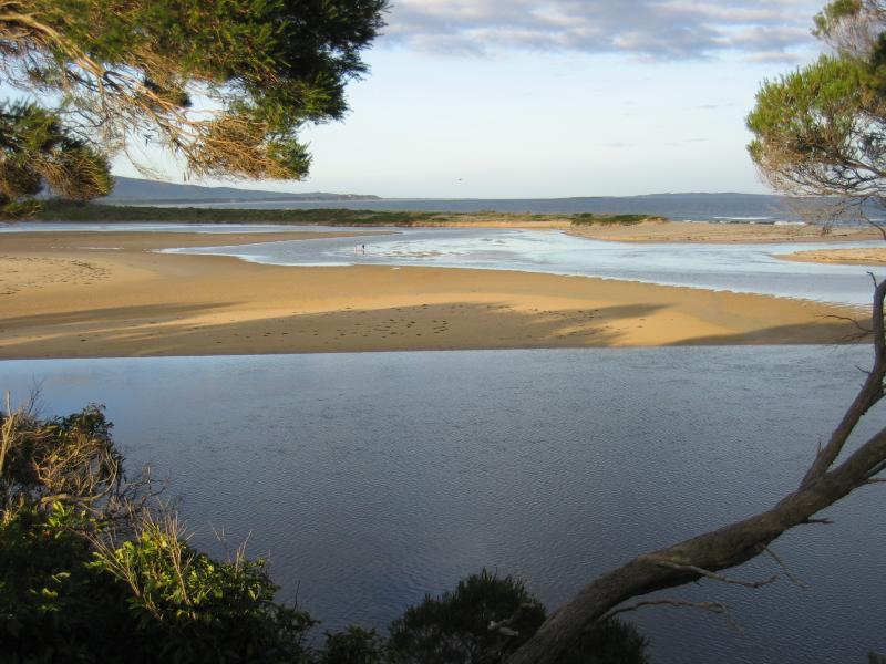
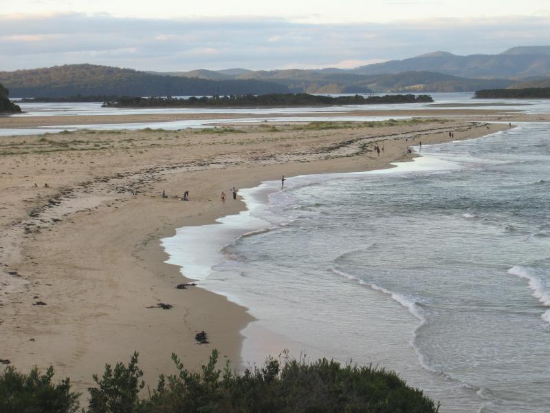
 Recreation Reserve, south of Allan Drive - View north-east across sand bar and along coast
 Recreation Reserve, south of Allan Drive - View south along coast from beach
 Bastion Point - View from car park, out to sea
 Bastion Point - View to sea
 Bastion Point - View north along coast
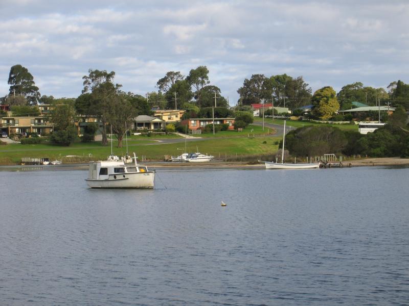
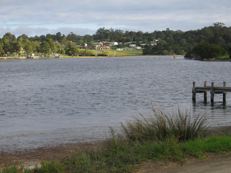
 Lakeside Drive and nearby residential areas - View north-west across inlet from Lakeside Dr at Buckland Dr
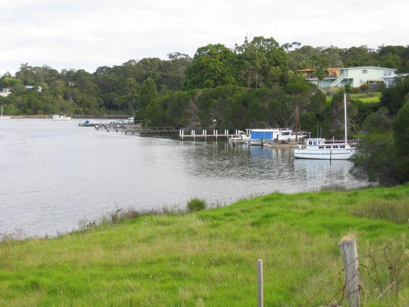
 Lakeside Drive and nearby residential areas - View north to Coulls Point from Lakeside Dr at Buckland Dr
 Lakeside Drive and nearby residential areas - View north towards jetties and Coulls Point from Lakeside Dr at Buckland Dr
 Lakeside Drive and nearby residential areas - View east across inlet towards jetties on Buckland Dr from Lakeside Dr near Mirrabooka Rd
 Lakeside Drive and nearby residential areas - View south-west along coast towards jetties, Lakeside Dr north of Mirabooka Rd
 Lakeside Drive and nearby residential areas - View north along coast at jetty, Lakeside Dr near Broome St
 Lakeside Drive and nearby residential areas - View south-west along inlet from jetty on Lakeside Dr near Broome St
 Lakeside Drive and nearby residential areas - Jetty, Lakeside Dr near Broome St
 Lakeside Drive and nearby residential areas - View east along Martin St at Intervale Dr
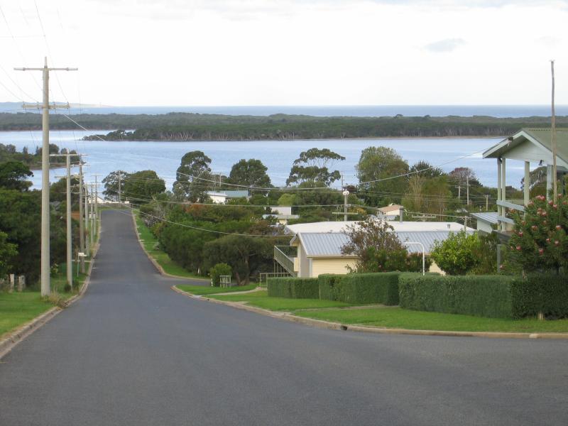
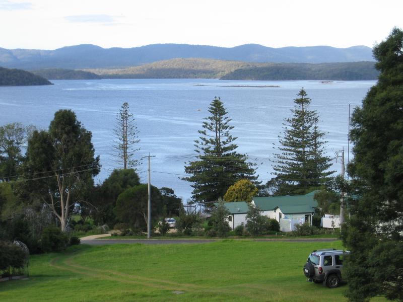 Lakeside Drive and nearby residential areas - View north-east across Mallacoota Inlet from Karbeethong Rd at Inlet View Ct
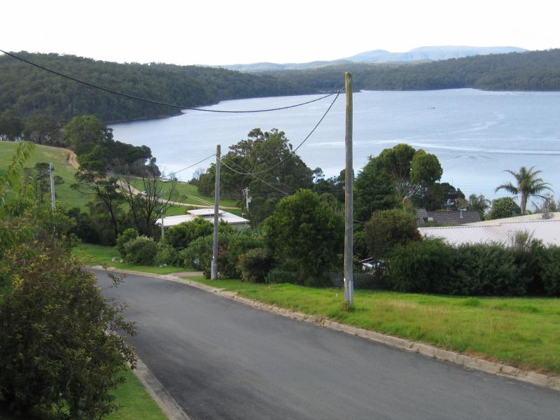 Lakeside Drive and nearby residential areas - View north along inlet from Karbeethong Rd at Inlet View Ct
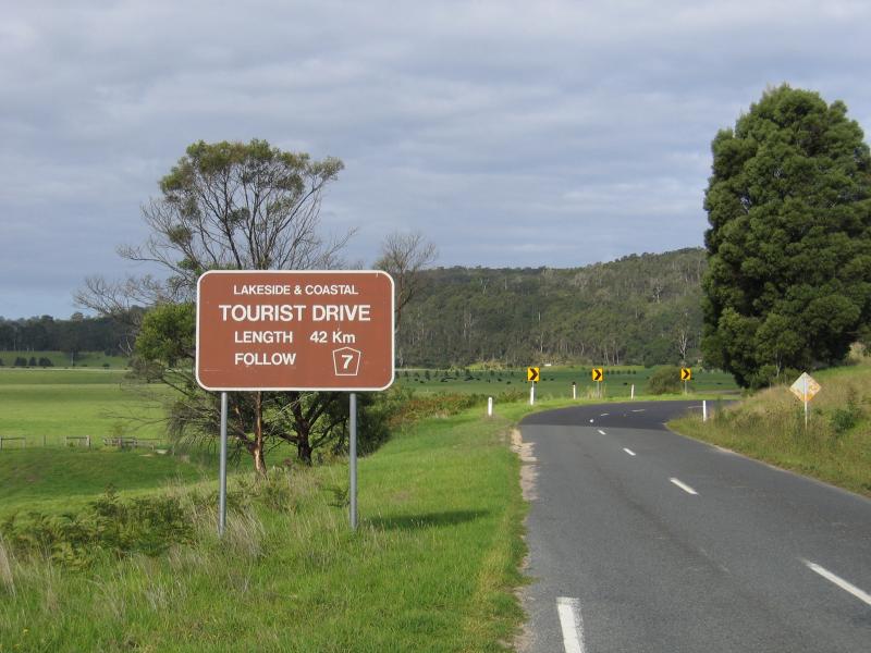
 Genoa and Mallacoota Road - View east along Princes Hwy, approaching Mallacoota Rd
 Genoa and Mallacoota Road - Township of Genoa, viewed from Princes Hwy opposite Mallacoota Rd
 Genoa and Mallacoota Road - View south-east along Mallacoota Rd near Princes Hwy
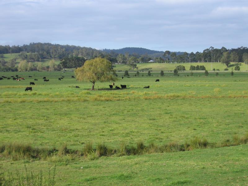 Genoa and Mallacoota Road - View east across grazing land, Mallacoota Rd, one kilometre from Genoa
 Genoa and Mallacoota Road - View south-east along Mallacoota Rd towards Gipsy Point Rd