
Mansfield - photos
Mansfield
Stay
See and do
Food and drink
Shopping
Getting around
Visitor information
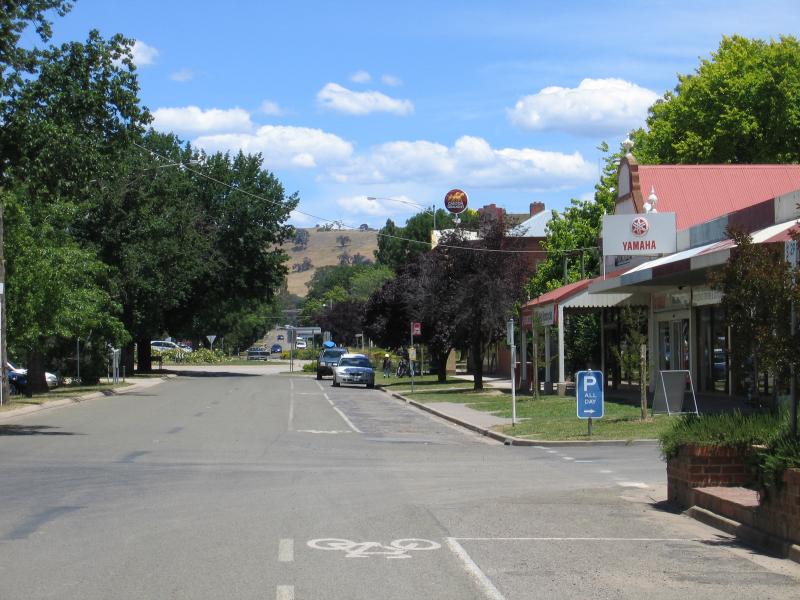
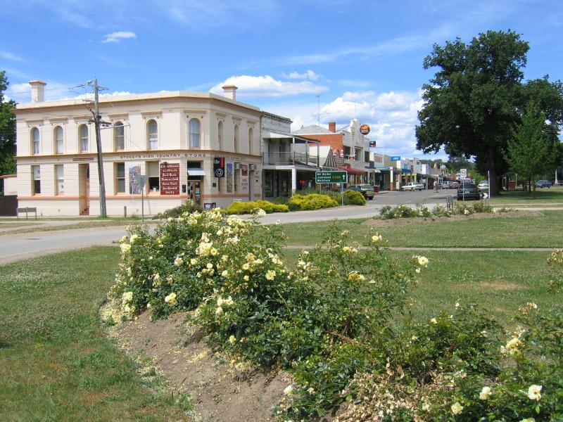
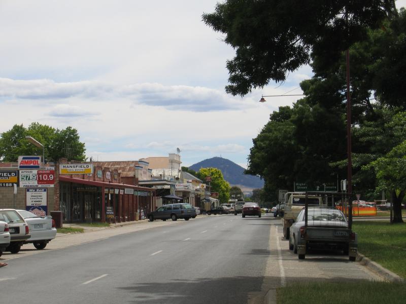
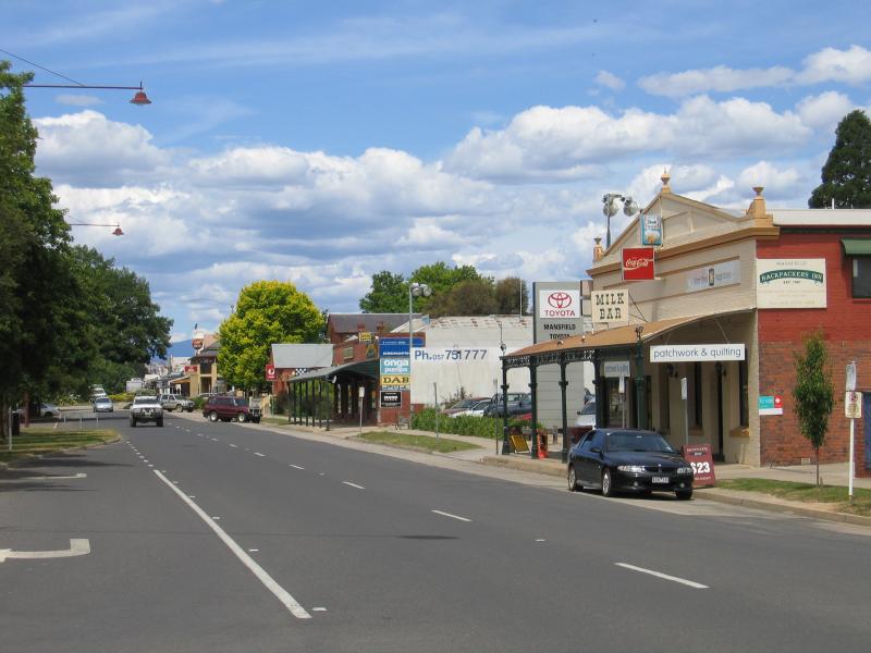
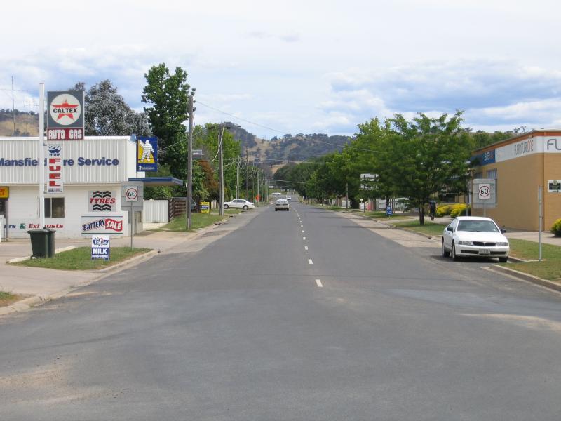
 Commercial centre and shops - View south along Highett St towards Baldry St
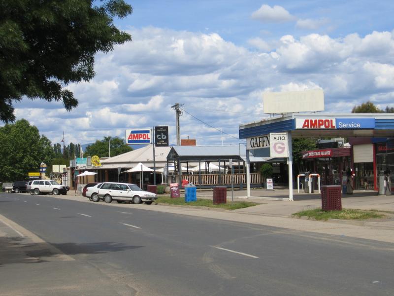
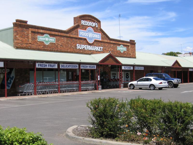 Commercial centre and shops - FoodWorks supermarket, Highett St between Baldry St and High St
 Commercial centre and shops - View south along Highett St at Early St
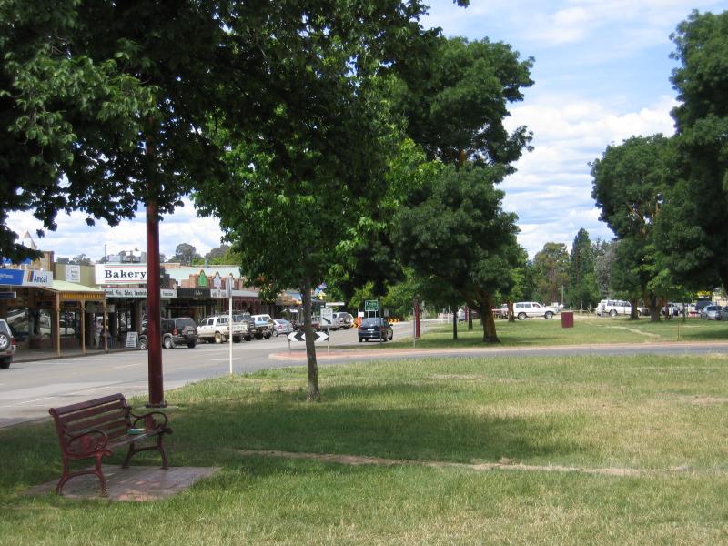
 Commercial centre and shops - View east along gardens in centre of High St at Highett St
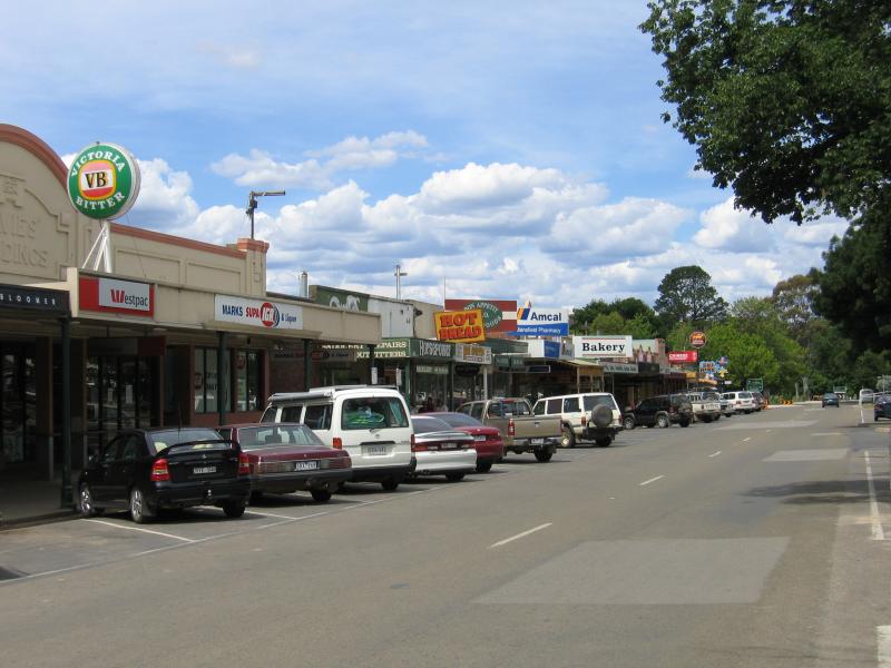
 Commercial centre and shops - View east along High St at Highett St
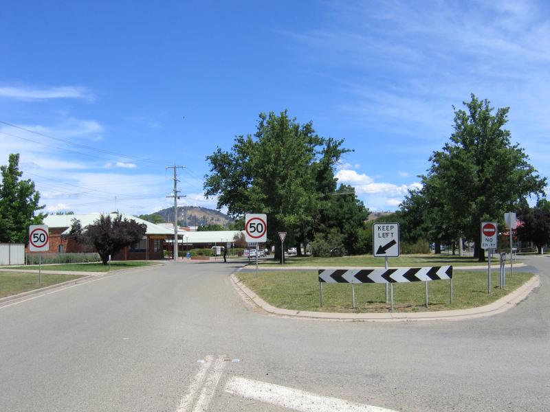
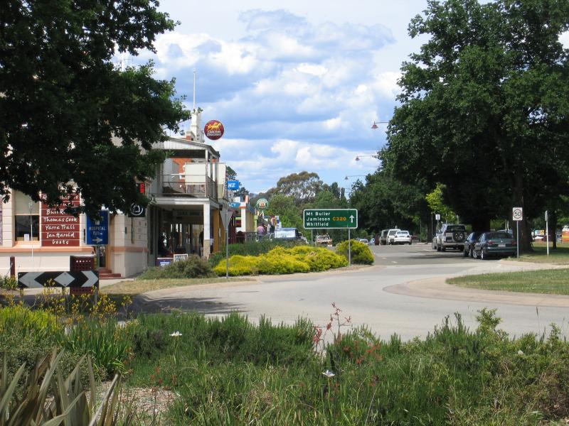
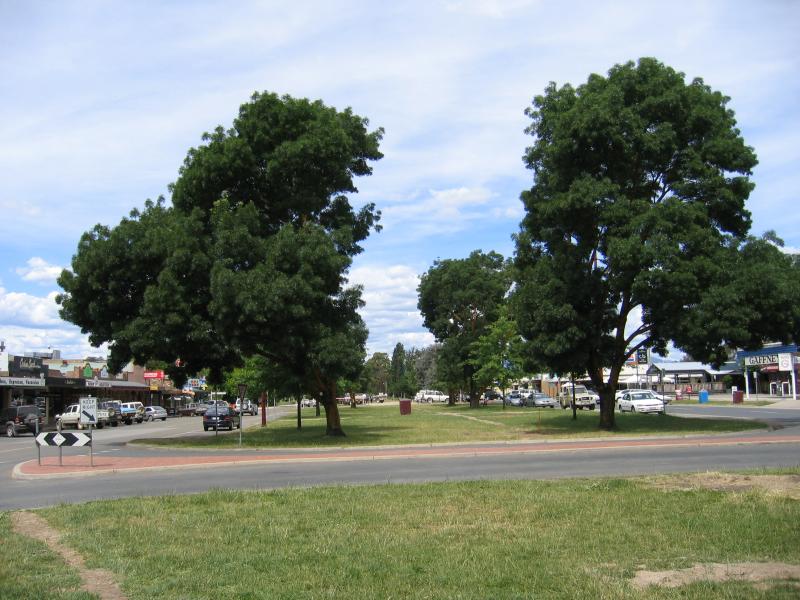
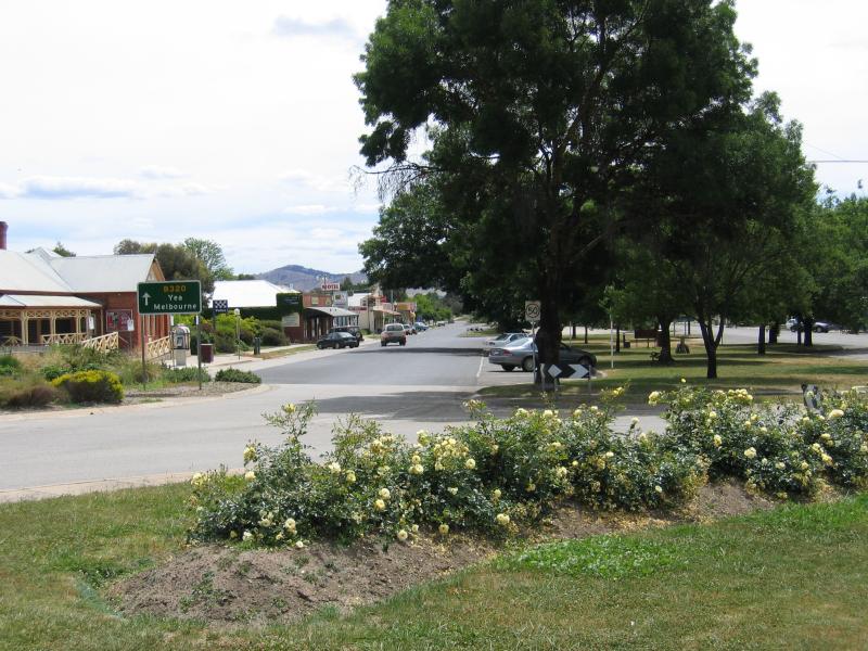
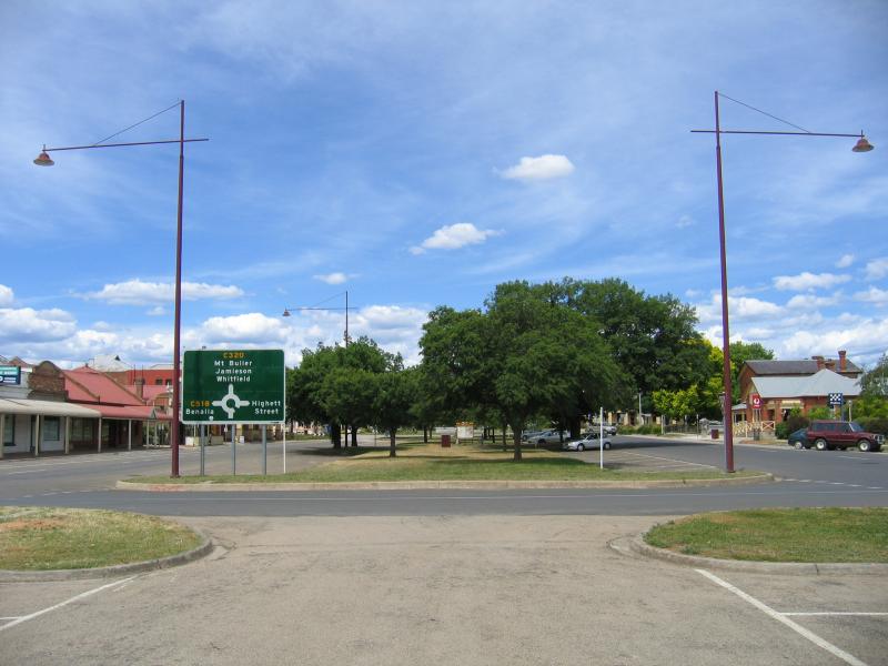
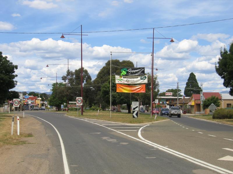
 Commercial centre and shops - Roundabout, corner High St and Highett St
 Commercial centre and shops - View east along High St at Highett St
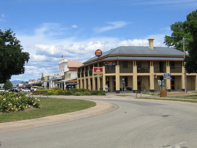 Commercial centre and shops - Mansfield Hotel, view east along High St at Highett St
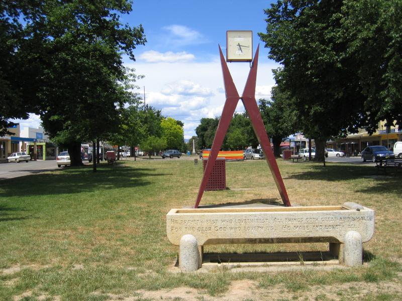
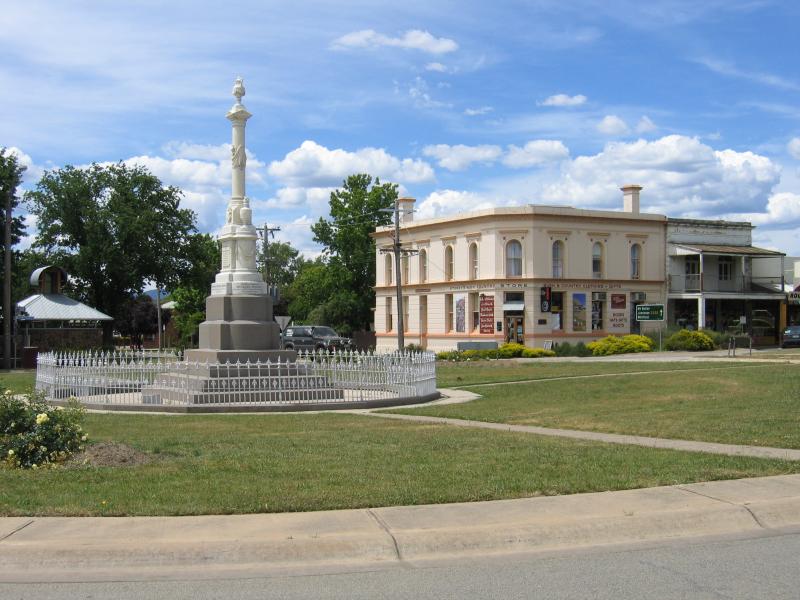
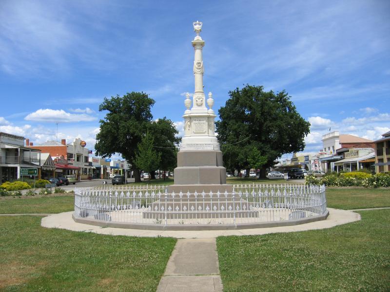 Commercial centre and shops - Monument in centre of roundabout, view east along High St at Highett St
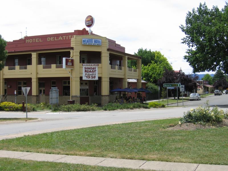
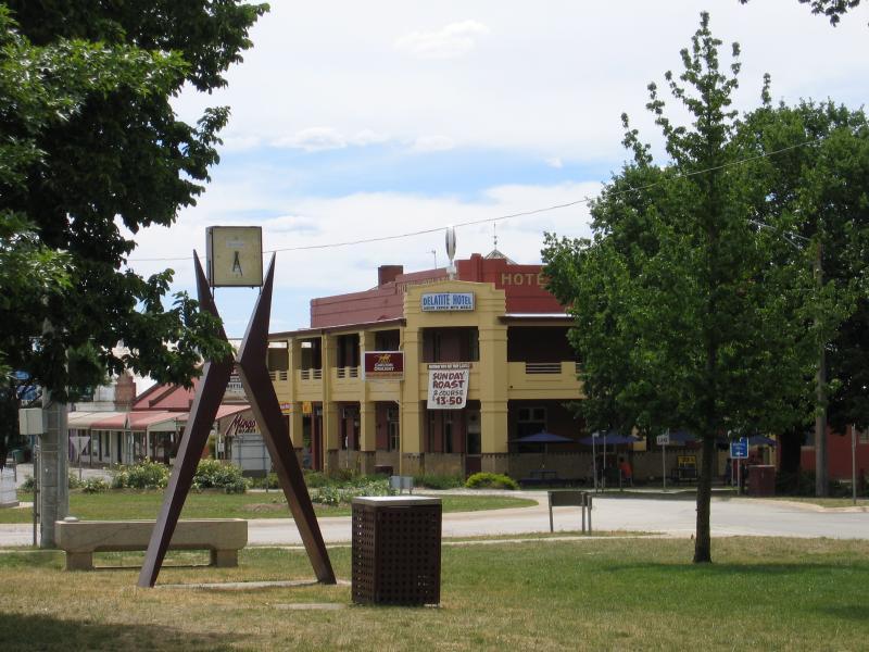
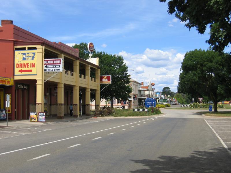
 Commercial centre and shops - Delatite Hotel, corner High St and Highett St
 Commercial centre and shops - Delatite Hotel, view north along Highett St at High St
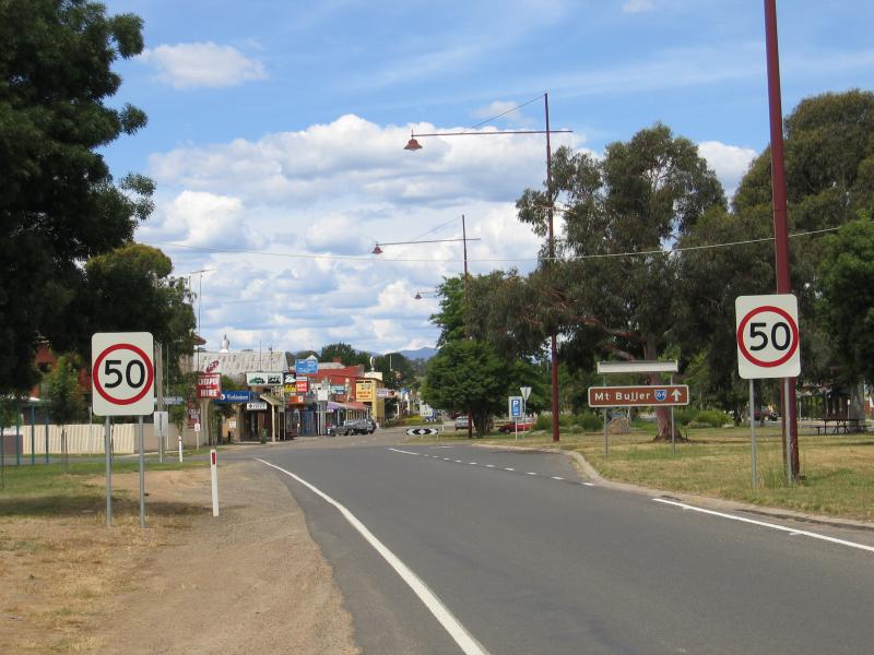
 Commercial centre and shops - View west along High St towards roundabout at Highett St
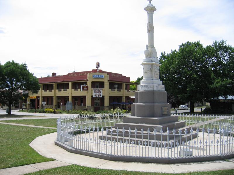
 Commercial centre and shops - Delatite Hotel at roundabout at Highett St at High St
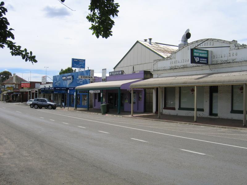
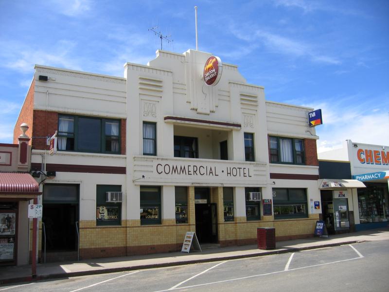 Commercial centre and shops - Commercial Hotel, High St between Highett St and Baldry St
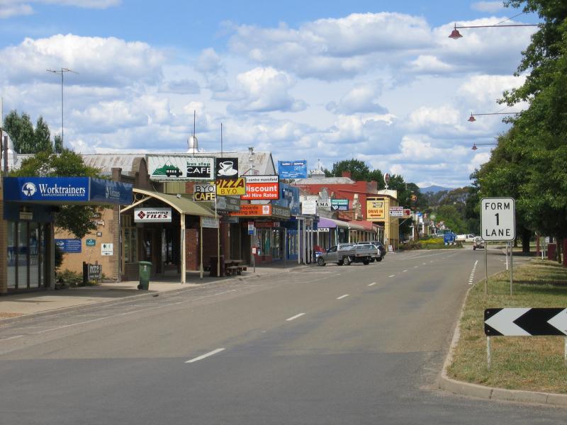
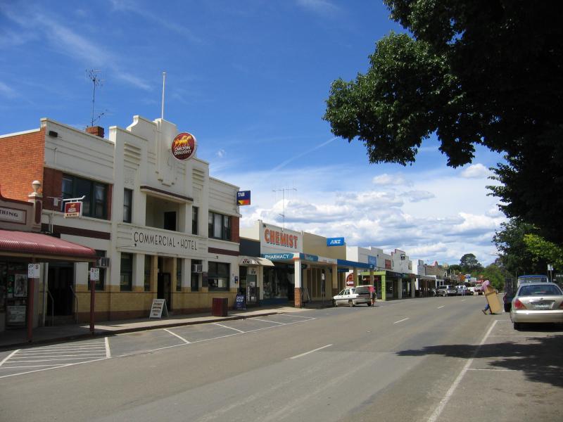 Commercial centre and shops - View east along High St between Highett St and Baldry St
 Commercial centre and shops - View east along High St between Highett St and Baldry St
 Commercial centre and shops - View east along High St between Highett St and Baldry St
 Commercial centre and shops - View east along gardens in centre of High St between Highett St and Baldry St
 Commercial centre and shops - View east along High St between Highett St and Baldry St
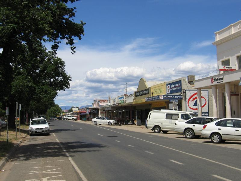
 Commercial centre and shops - View west along High St between Collopy St and Highett St
 Commercial centre and shops - View west along High St between Collopy St and Highett St
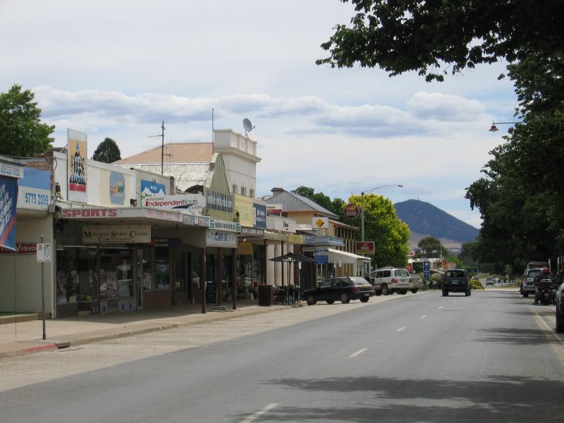
 Commercial centre and shops - View east along High St towards Collopy St
 Commercial centre and shops - View east along High St towards Highett St
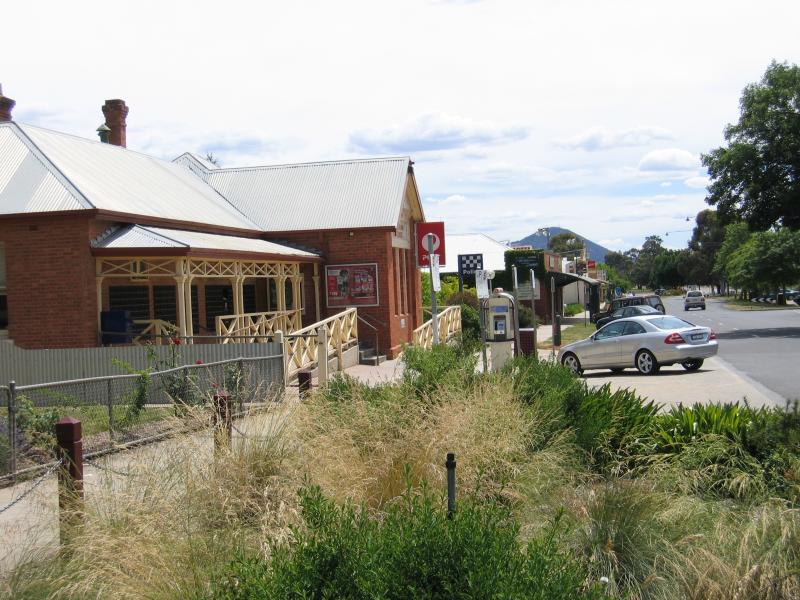 Commercial centre and shops - Post Office, view west along High St between Highett St and Apollo St
 Commercial centre and shops - View west along High St at Highett St
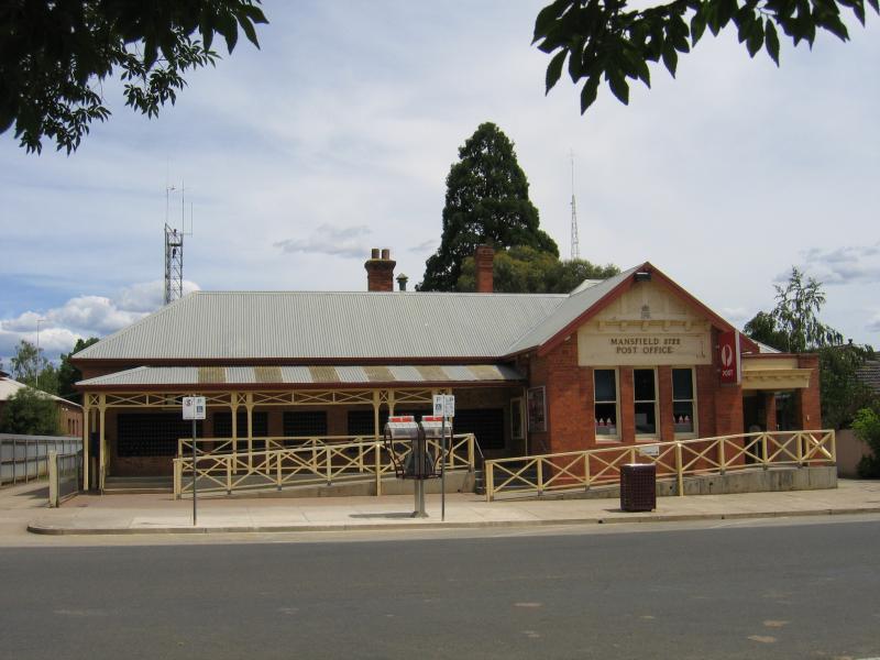 Commercial centre and shops - Mansfield Post Office, High St
 Commercial centre and shops - View west along High St between Highett St and Kitchen St
 Commercial centre and shops - View east High St between Highett St and Kitchen St
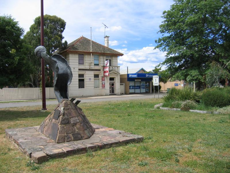 Commercial centre and shops - Spirit of Skier monument, view east along High St at Apollo St
 Commercial centre and shops - View east along High St at Apollo St
 Commercial centre and shops - View east along High St at Kitchen St
 Commercial centre and shops - View east along High St towards Kitchen St
 Commercial centre and shops - View east along High St at Ultimo St
 Commercial centre and shops - View south along Highett St at High St
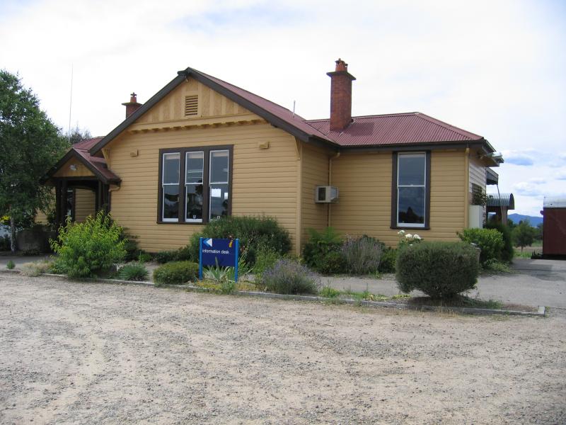 Visitor Information Centre, High Street - Information centre within old railway station building
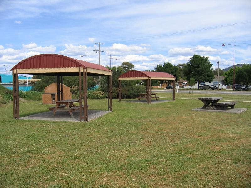 Visitor Information Centre, High Street - BBQ and picnic areas at information centre
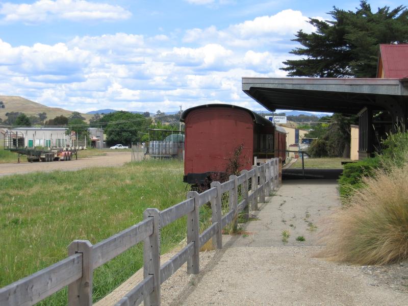 Visitor Information Centre, High Street - Old railway station platform
 Visitor Information Centre, High Street - Scarred Tree
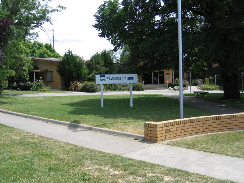 Around the sports ground area, Highett Street - Mansfield Shire council offices, corner Curia St and Highett St
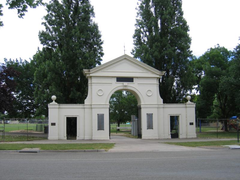 Around the sports ground area, Highett Street - Entrance to sports ground, Highett St opposite Ailsa St
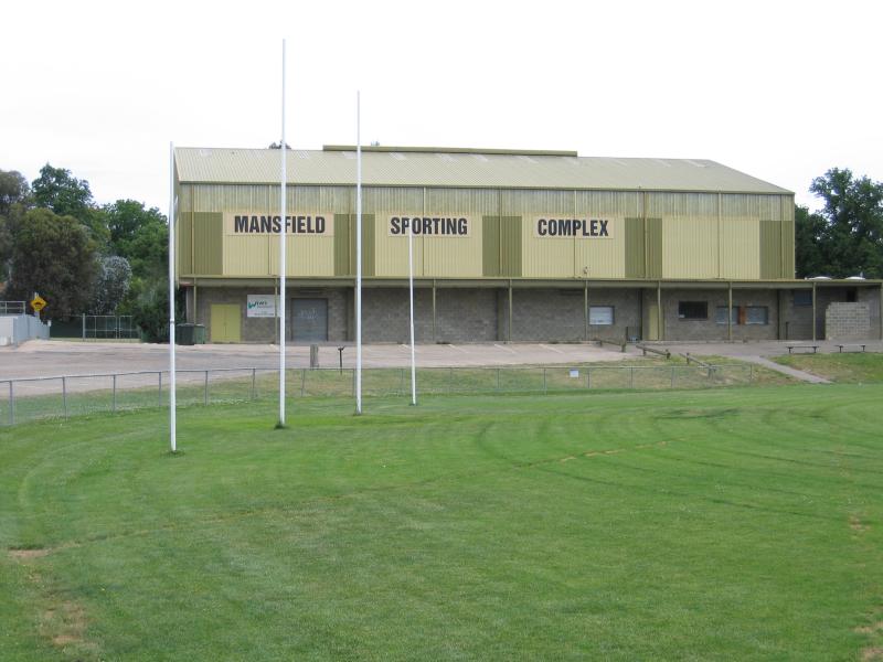 Around the sports ground area, Highett Street - Mansfield Sporting Complex
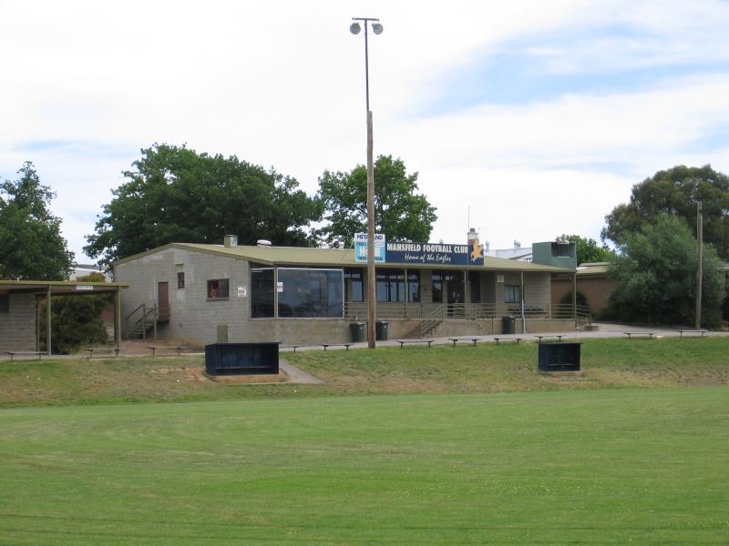 Around the sports ground area, Highett Street - Mansfield Football Club
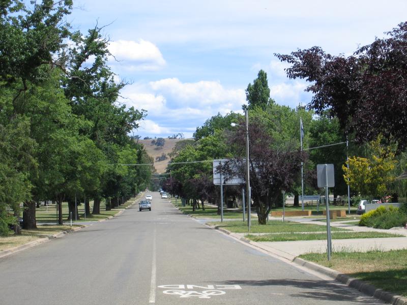
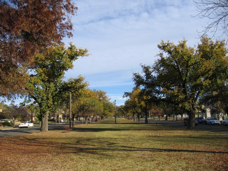 Around the sports ground area, Highett Street - View south along centre of Highett St at Curia St (autumn)
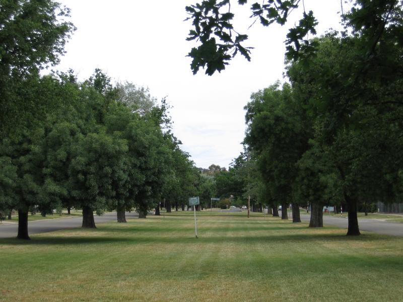 Around the sports ground area, Highett Street - View south along centre of Highett St at Ailsa St (summer)
 Botanic Park, High Street - View east along High St towards entrance to Botanic Park
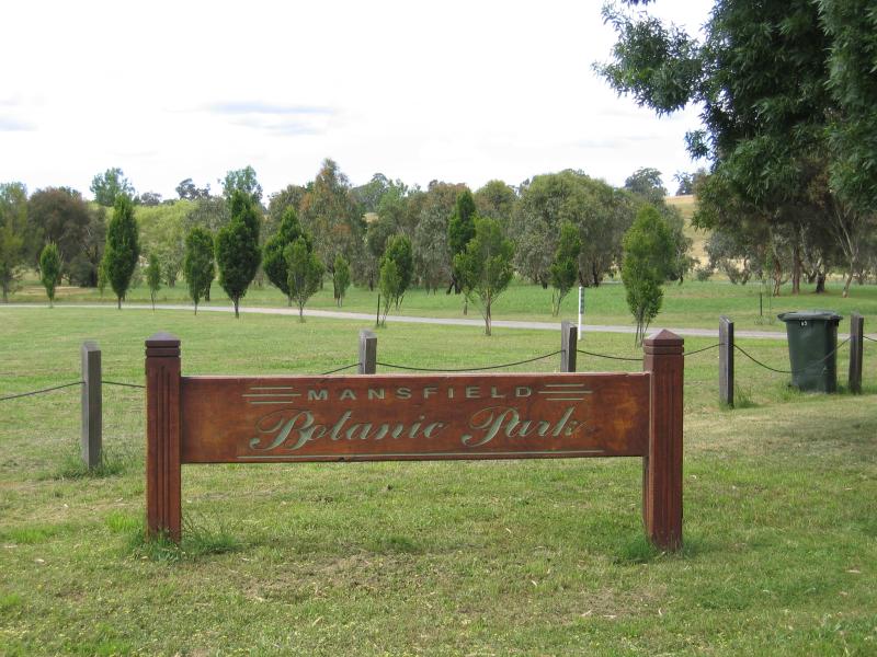 Botanic Park, High Street - Botanic Park sign on High St
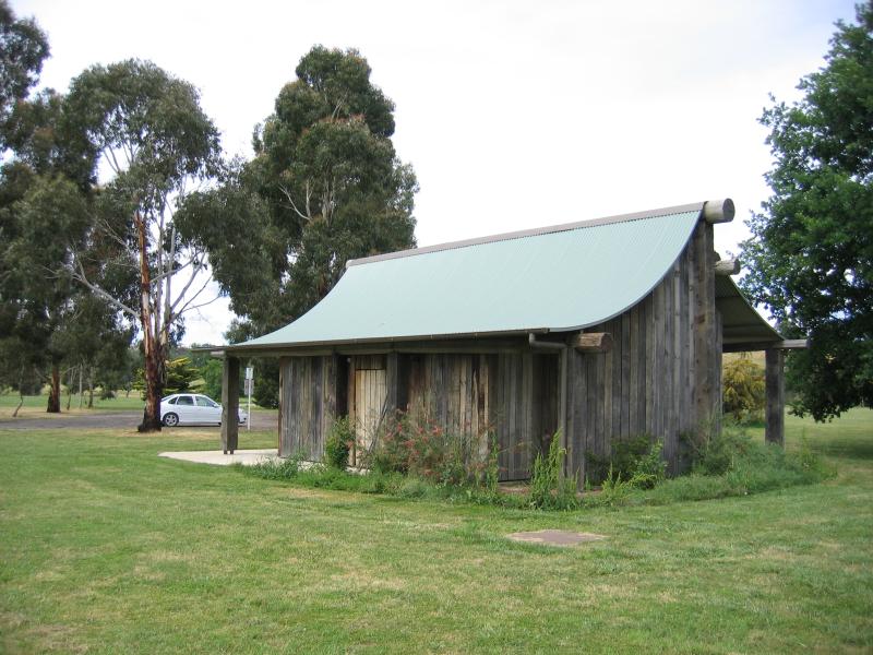 Botanic Park, High Street - Toilets
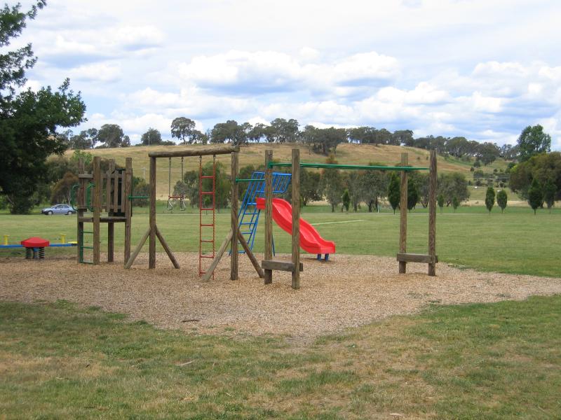 Botanic Park, High Street - Playground
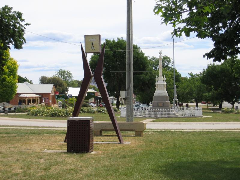
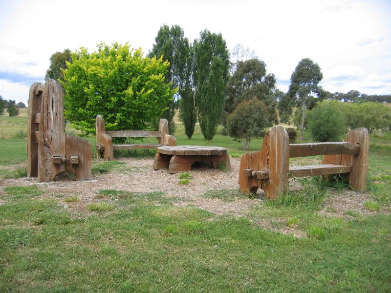 Botanic Park, High Street - Artistic outdoor furniture
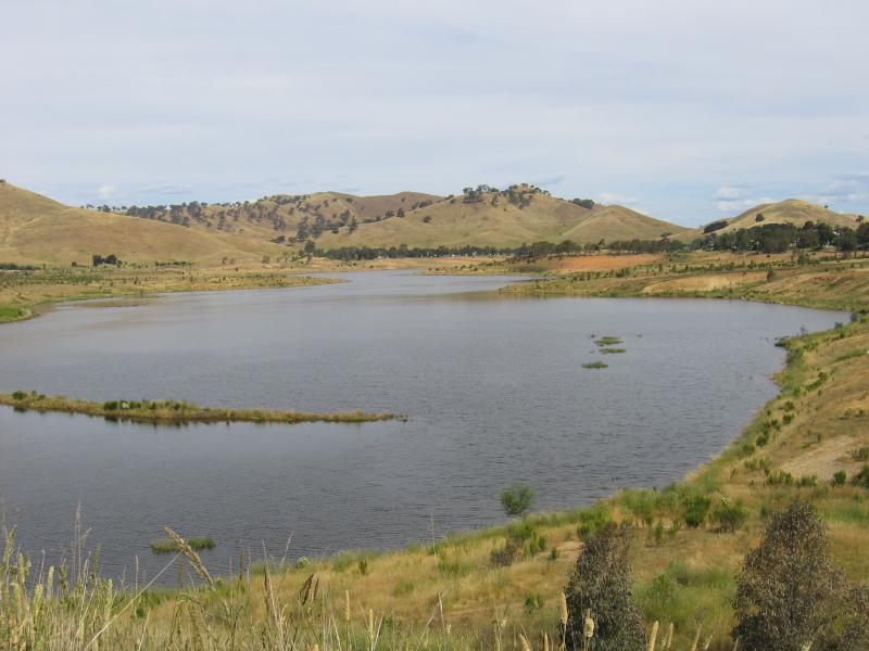
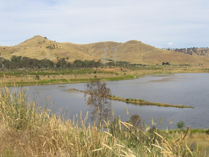
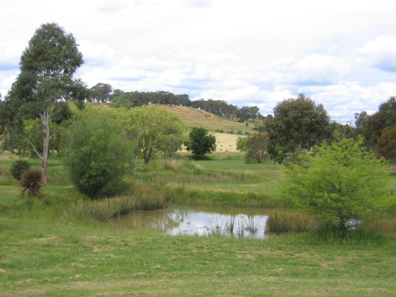 Botanic Park, High Street - Lake
 Around Mansfield and outskirts - View south along Chenery St at High St
 Around Mansfield and outskirts - View south-east along Mansfield Main Rd at Rose St
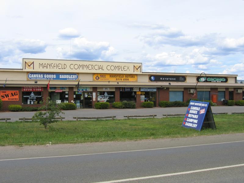 Around Mansfield and outskirts - Mansfield Commercial Complex, Mansfield Main Rd between Rowe St and Timothy La
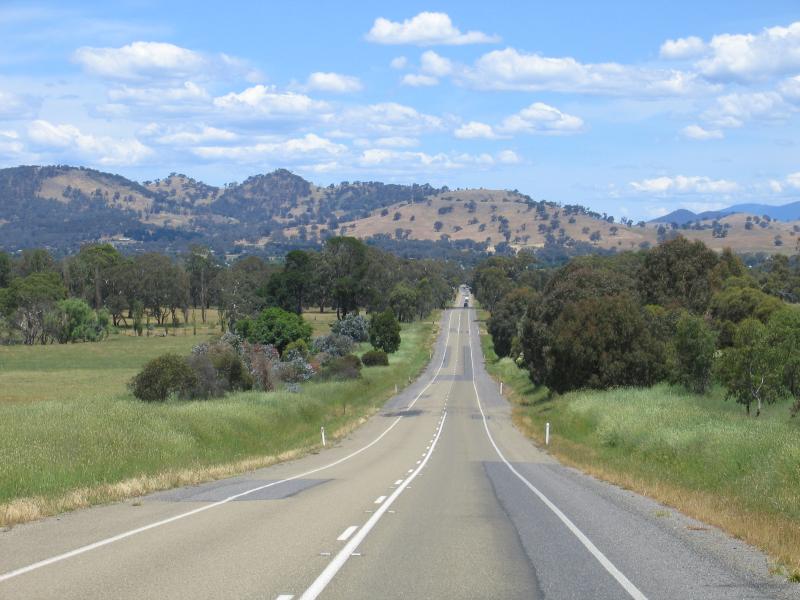 Around Mansfield and outskirts - View south along Midland Highway, 3.5 km north of town centre
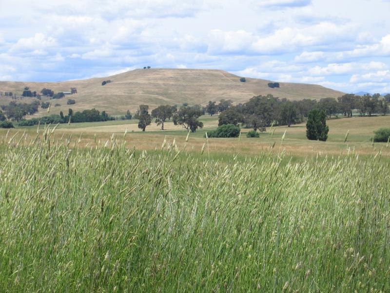 Around Mansfield and outskirts - View east from Midland Highway, 3.5 km north of town centre
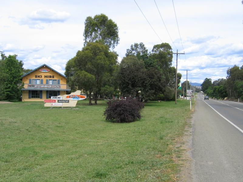
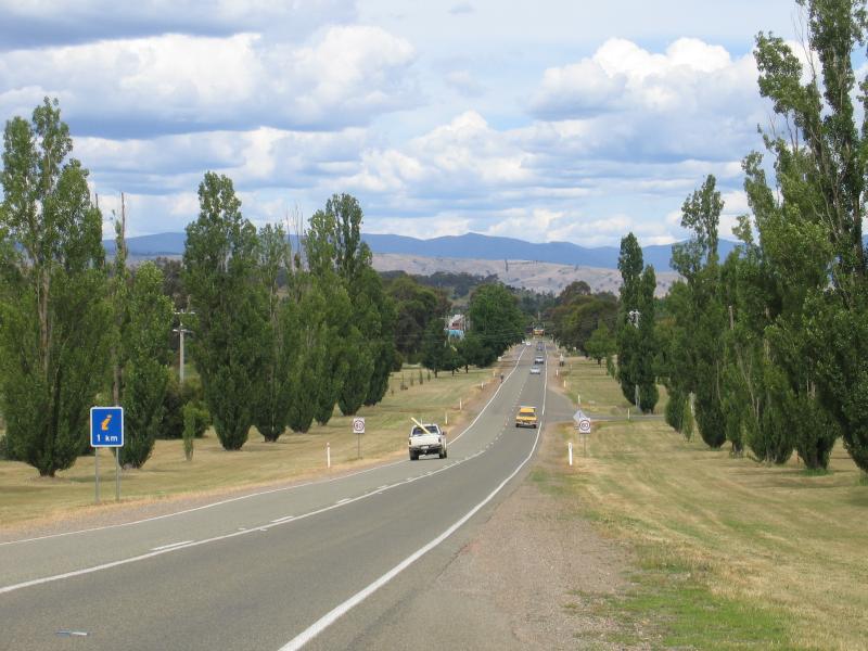 Around Mansfield and outskirts - View east along Maroondah Highway at Kidston Pde
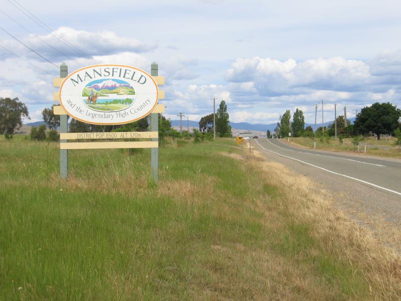 Around Mansfield and outskirts - Welcome to Mansfield sign, view east along Maroondah Highway towards Kidston Pde
 Around Mansfield and outskirts - View south, Maroondah Highway just west of Kidston Pde
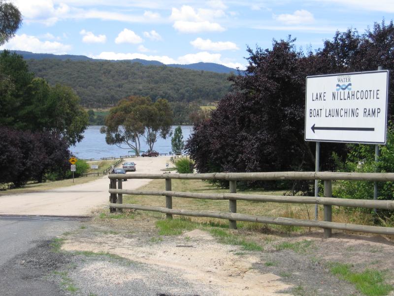 Lake Nillahcootie, Midland Highway, 25 km north of Mansfield - Boat launching ramp entrance at Midland Highway
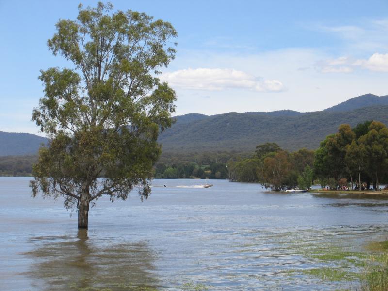
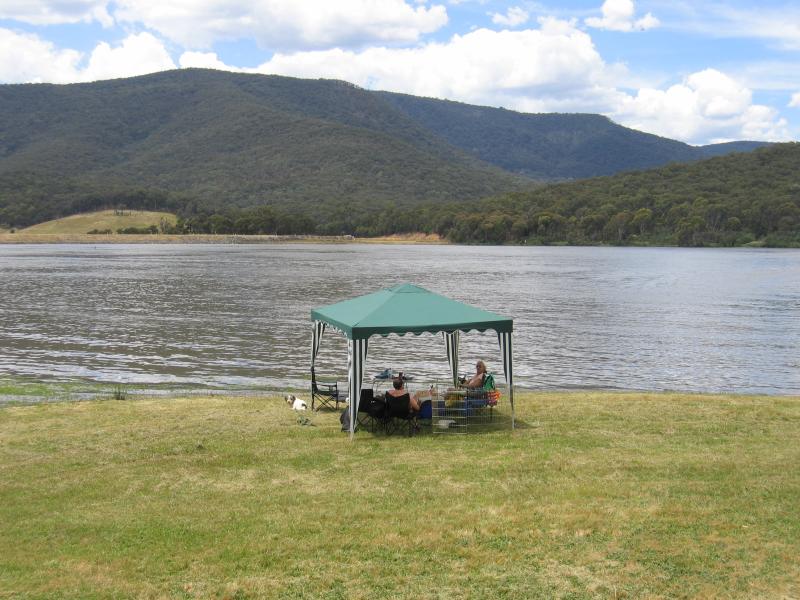 Lake Nillahcootie, Midland Highway, 25 km north of Mansfield - View east across lake near boat ramp
 Lake Nillahcootie, Midland Highway, 25 km north of Mansfield - View east across lake near boat ramp
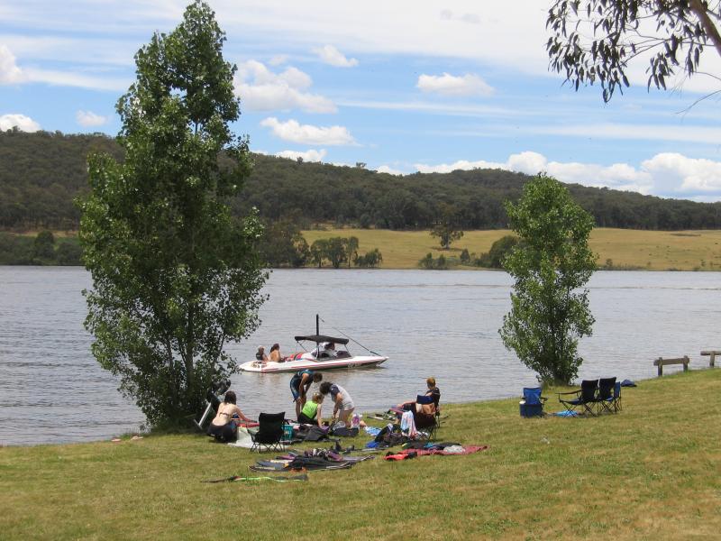
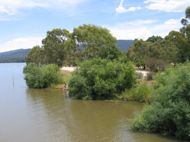
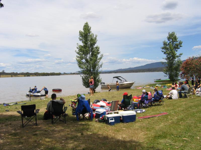 Lake Nillahcootie, Midland Highway, 25 km north of Mansfield - Visitors enjoy water activities near the boat ramp
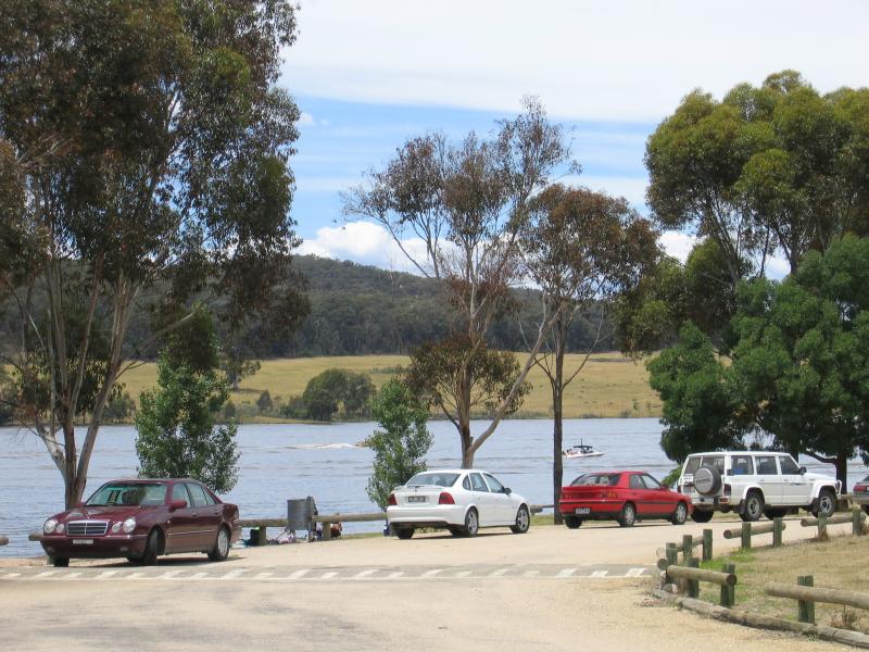 Lake Nillahcootie, Midland Highway, 25 km north of Mansfield - Car park at boat ramp
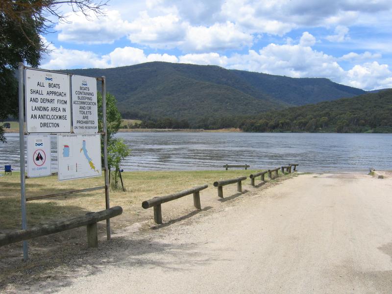 Lake Nillahcootie, Midland Highway, 25 km north of Mansfield - Boat ramp
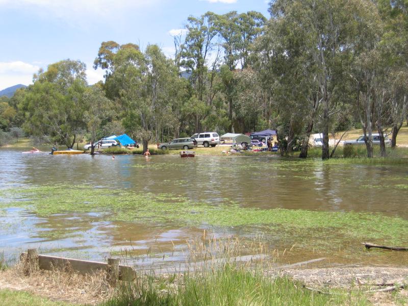 Lake Nillahcootie, Midland Highway, 25 km north of Mansfield - Lake near boat ramp
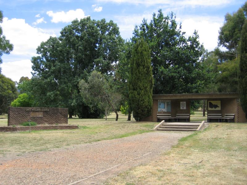 Lake Nillahcootie, Midland Highway, 25 km north of Mansfield - Picnic area
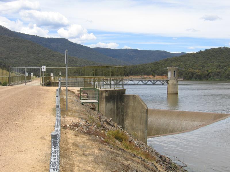 Lake Nillahcootie, Midland Highway, 25 km north of Mansfield - Dam wall
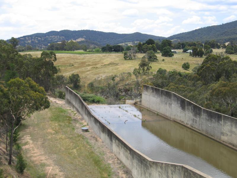 Lake Nillahcootie, Midland Highway, 25 km north of Mansfield - Slipway at dam wall
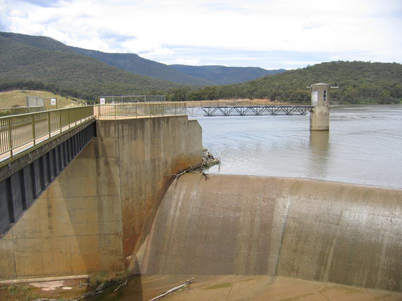 Lake Nillahcootie, Midland Highway, 25 km north of Mansfield - Dam wall
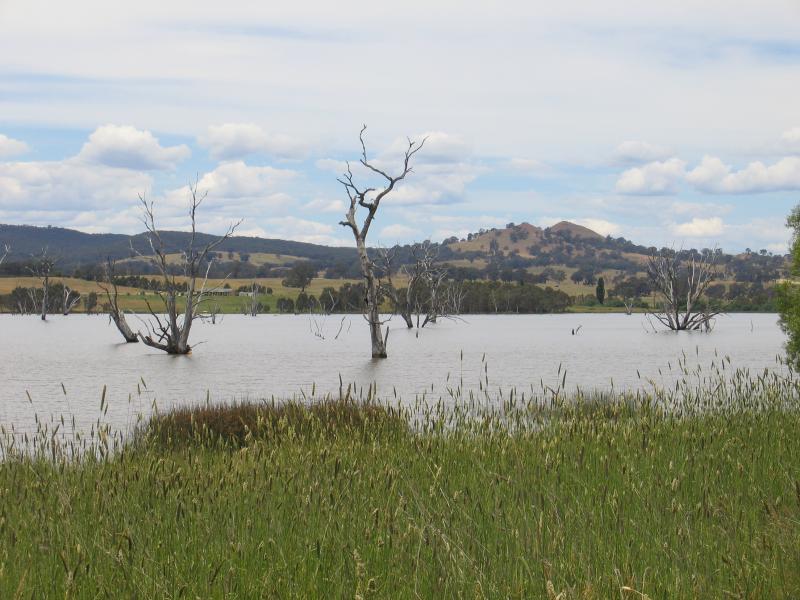
 Lake Nillahcootie, Midland Highway, 25 km north of Mansfield - View south along lake from dam wall
 Lake Nillahcootie, Midland Highway, 25 km north of Mansfield - View south along lake towards boat ramp
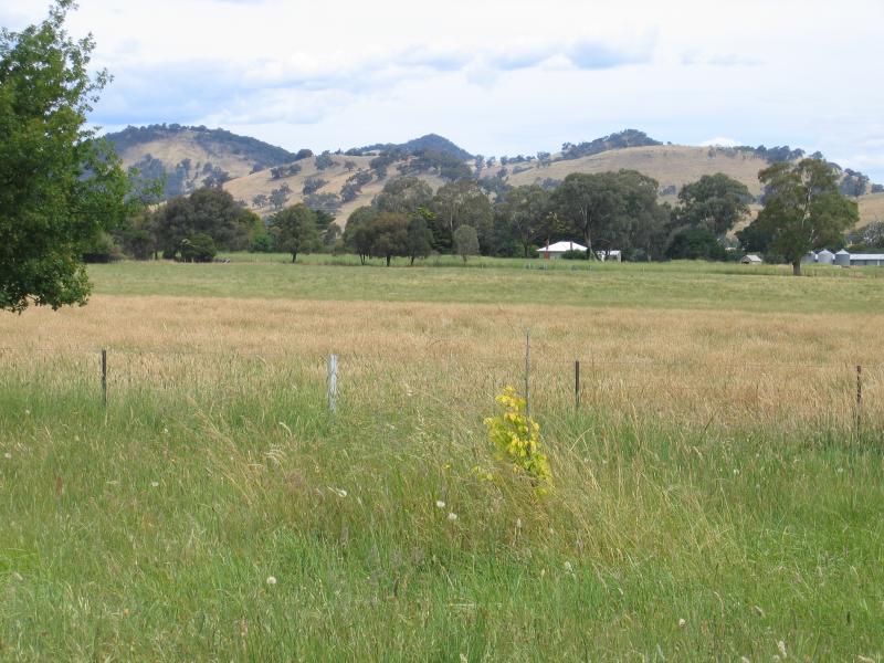
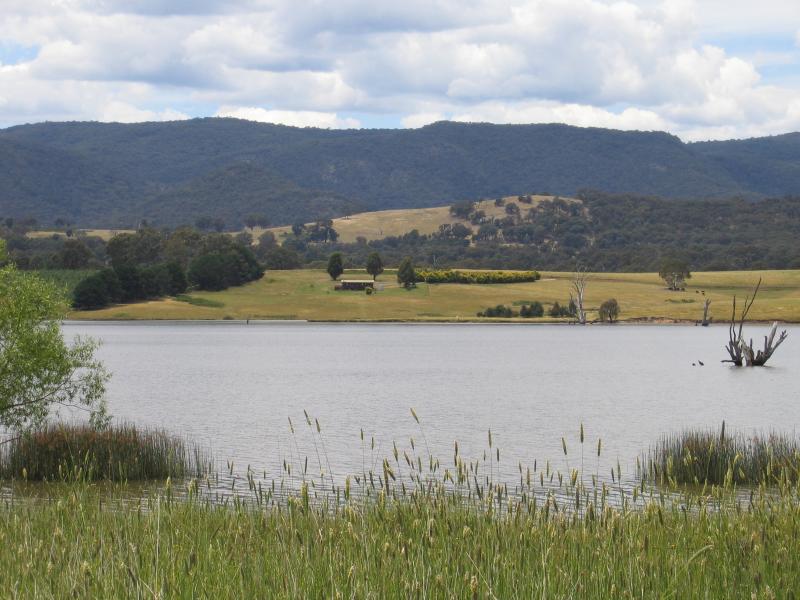 Lake Nillahcootie, Midland Highway, 25 km north of Mansfield - View east across southern end of lake from Midland Highway
 Lake Nillahcootie, Midland Highway, 25 km north of Mansfield - View east across southern end of lake from Midland Highway
 Midland Highway, 34 km north of Mansfield - Easterly view
 Midland Highway, 34 km north of Mansfield - Easterly view
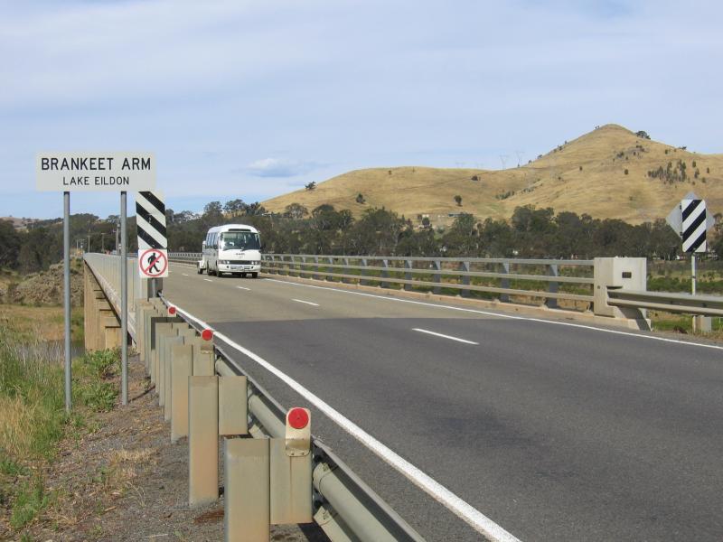 Brankeet Arm, Lake Eildon, Maroondah Highway, near Bonnie Doon - View east along Maroondah Highway towards bridge over Lake Eildon
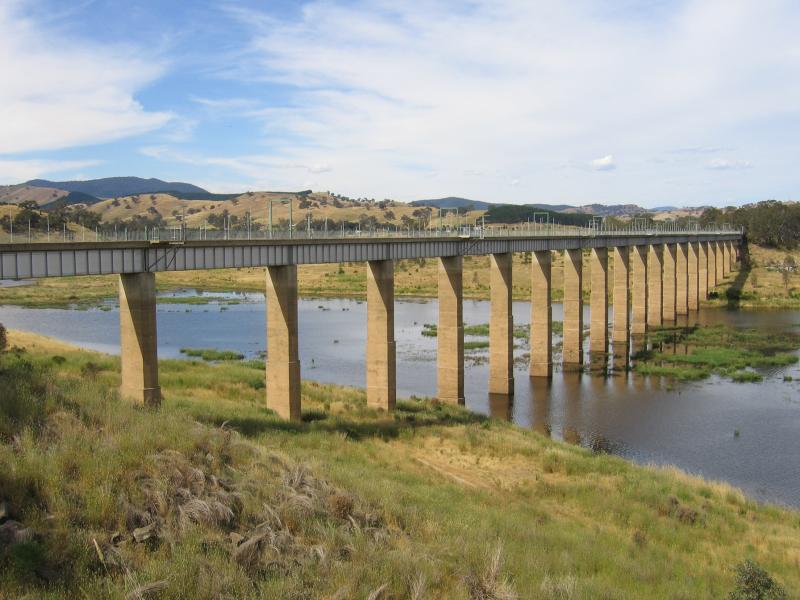 Brankeet Arm, Lake Eildon, Maroondah Highway, near Bonnie Doon - View east along Bonnie Doon railway bridge, now a walking and bike track
 Brankeet Arm, Lake Eildon, Maroondah Highway, near Bonnie Doon - View south along Lake Eildon
 Brankeet Arm, Lake Eildon, Maroondah Highway, near Bonnie Doon - View south along Lake Eildon