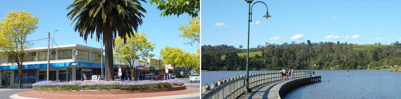
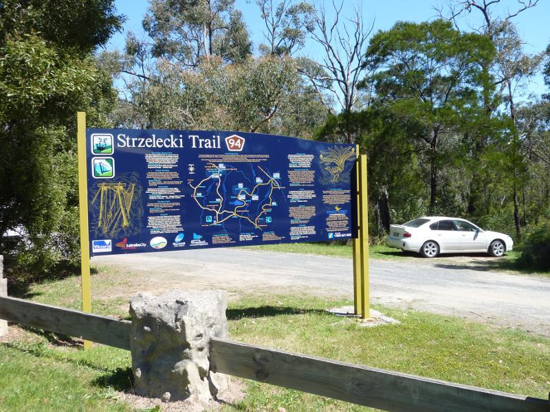
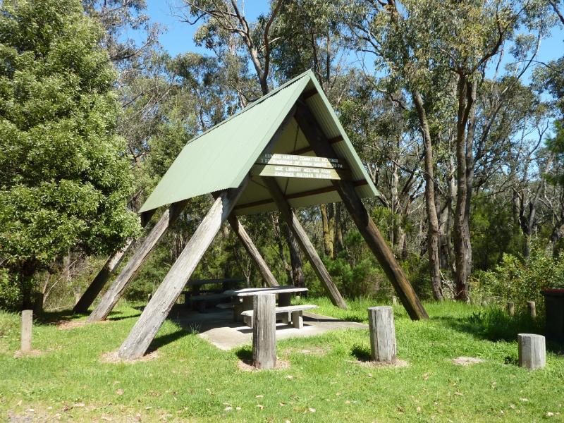
Moe - photos
Moe
Stay
See and do
Food and drink
Shopping
Getting around
Visitor information
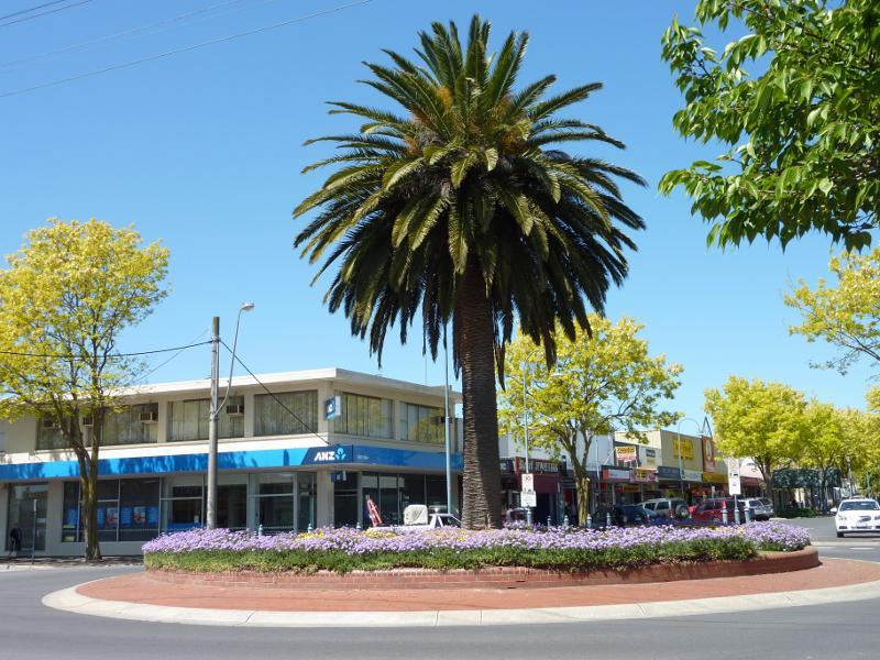
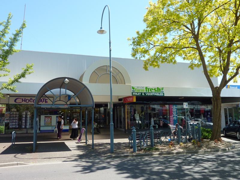
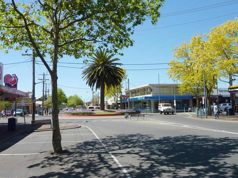
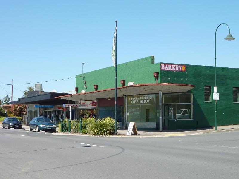
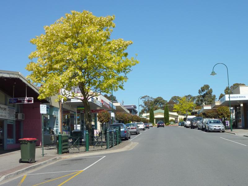
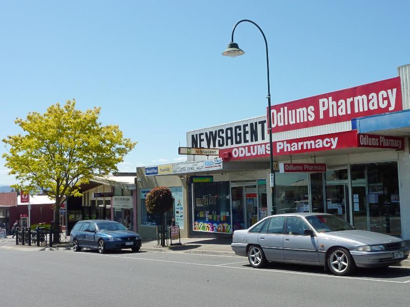
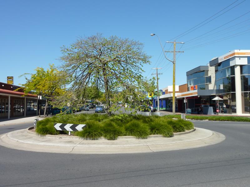 Shops and commercial Centre, Moore Street, George Street and Albert Street - View south along Moore St at Haigh St
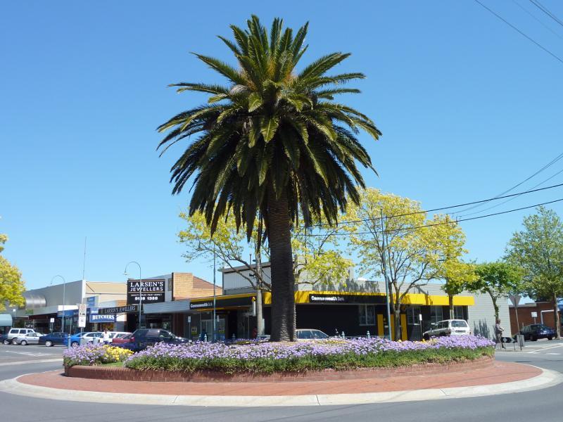
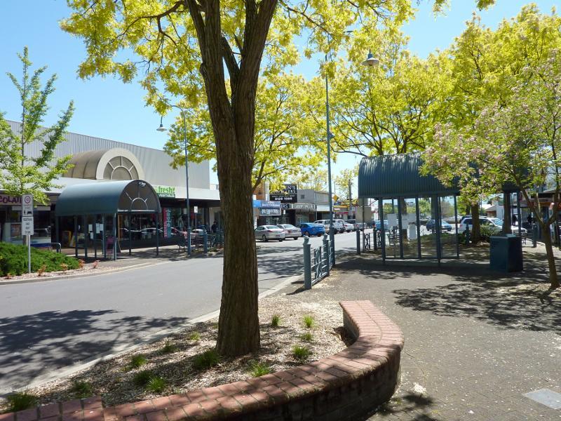
 Shops and commercial Centre, Moore Street, George Street and Albert Street - View south along Moore St between Haigh St and Albert St
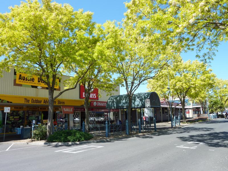
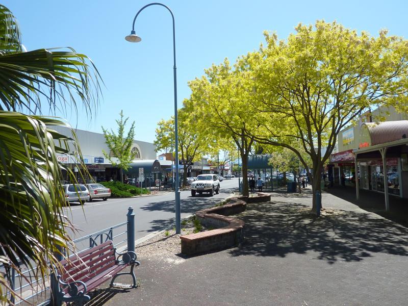
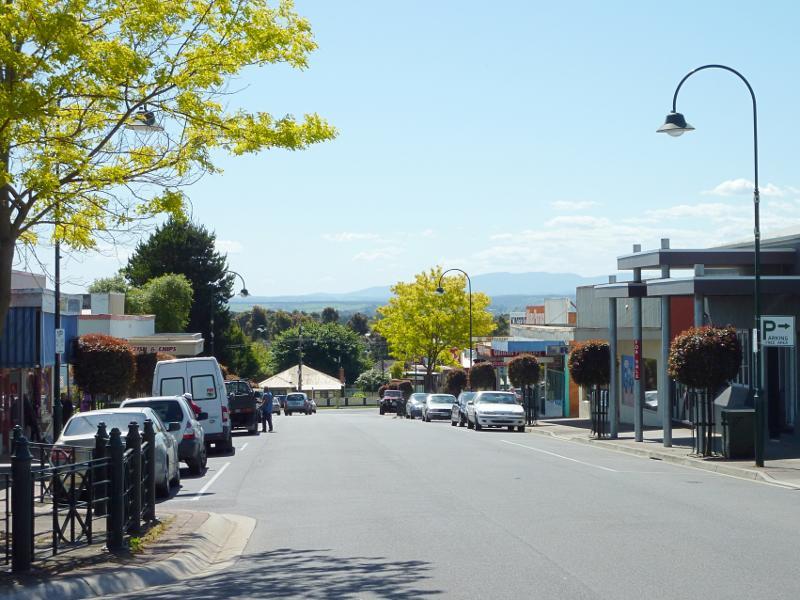
 Shops and commercial Centre, Moore Street, George Street and Albert Street - View south along Moore St towards Albert St
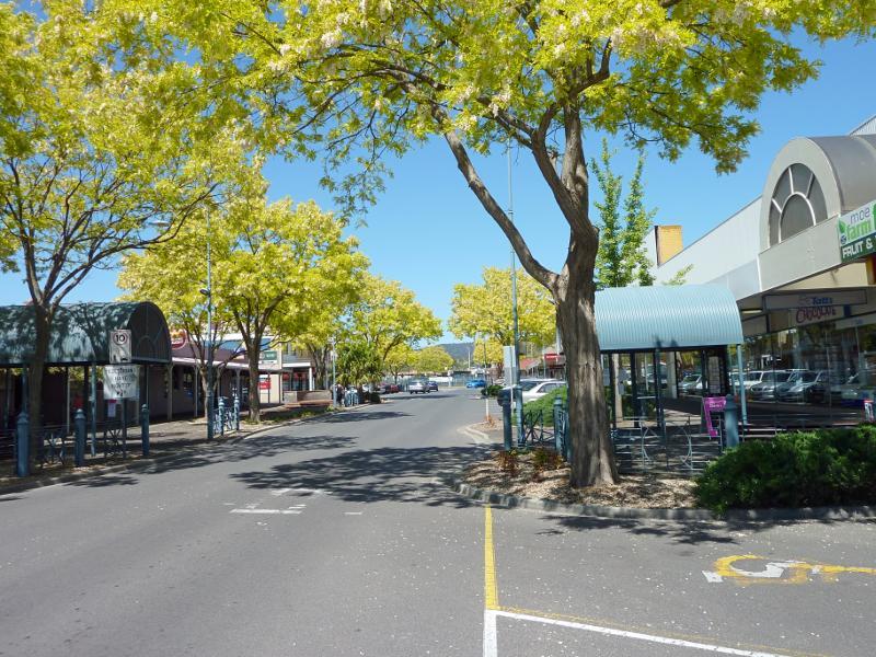
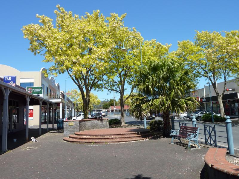
 Shops and commercial Centre, Moore Street, George Street and Albert Street - View south along Moore St at Albert St
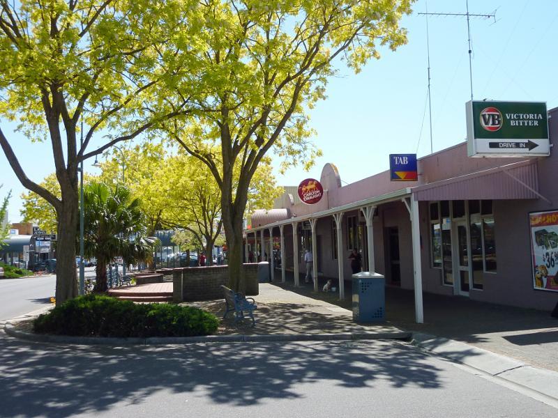
 Shops and commercial Centre, Moore Street, George Street and Albert Street - South-west corner of Moore St and Albert St
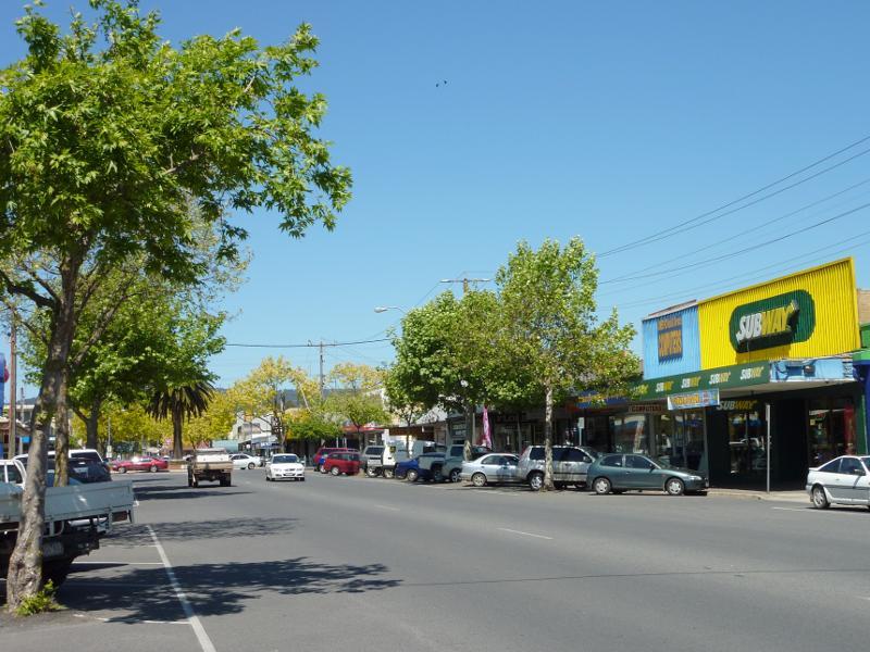
 Shops and commercial Centre, Moore Street, George Street and Albert Street - Eastern side of Moore St between Albert St and George St
 Shops and commercial Centre, Moore Street, George Street and Albert Street - View south along Moore St between Albert St and George St
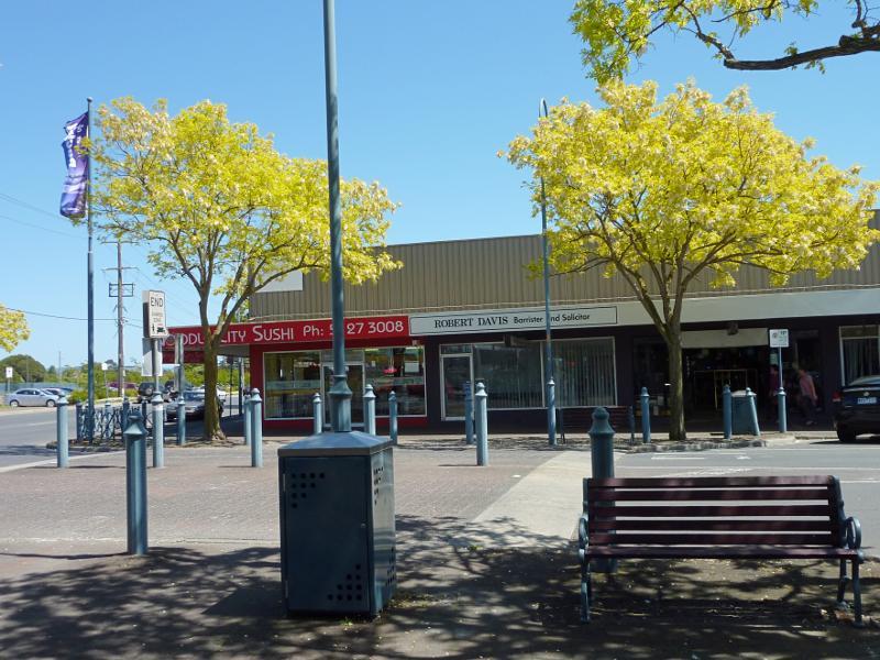
 Shops and commercial Centre, Moore Street, George Street and Albert Street - Western side of Moore St between Albert St and George St
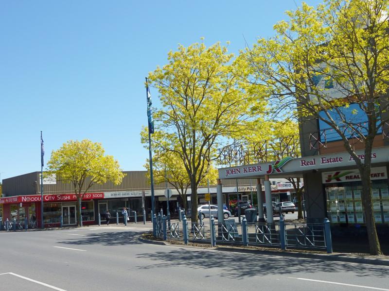
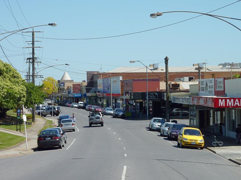
 Shops and commercial Centre, Moore Street, George Street and Albert Street - View north along Moore St between George St and Albert St
 Shops and commercial Centre, Moore Street, George Street and Albert Street - View north along Moore St between George St and Albert St
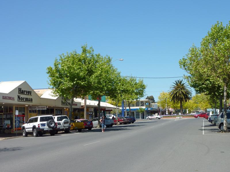
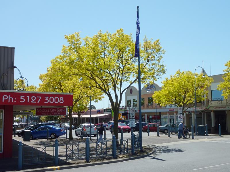
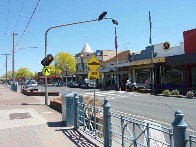
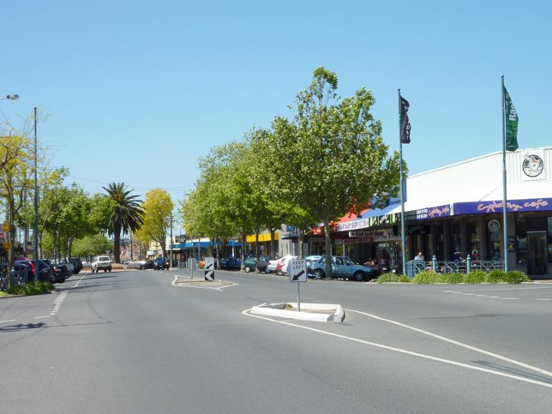
 Shops and commercial Centre, Moore Street, George Street and Albert Street - View south along Moore St towards George St
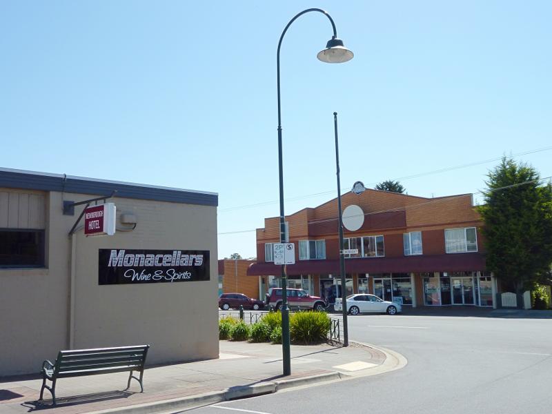
 Shops and commercial Centre, Moore Street, George Street and Albert Street - Mid City Tavern, view north along Moore St
 Shops and commercial Centre, Moore Street, George Street and Albert Street - View east across Moore St at George St
 Shops and commercial Centre, Moore Street, George Street and Albert Street - View west across Moore St at George St
 Shops and commercial Centre, Moore Street, George Street and Albert Street - View north along Moore St at George St
 Shops and commercial Centre, Moore Street, George Street and Albert Street - North side of George St at Moore St
 Shops and commercial Centre, Moore Street, George Street and Albert Street - View west along George St at pedestrian crossing towards Moore St
 Shops and commercial Centre, Moore Street, George Street and Albert Street - View west along George St towards Kirk St
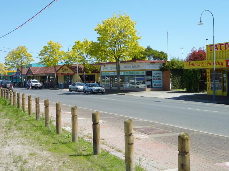 Shops and commercial Centre, Moore Street, George Street and Albert Street - View west along George St between Moore St and Saviges Rd
 Shops and commercial Centre, Moore Street, George Street and Albert Street - View east along George St at Saviges Rd
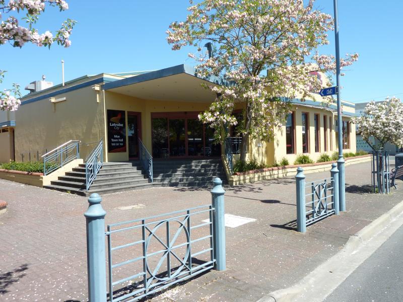 Shops and commercial Centre, Moore Street, George Street and Albert Street - Moe Town Hall, Albert St between Moore St and Kirk St
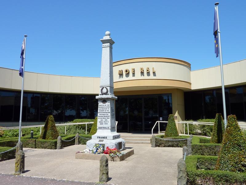 Shops and commercial Centre, Moore Street, George Street and Albert Street - Entrance to Moe RSL, Albert St between Moore St and Kirk St
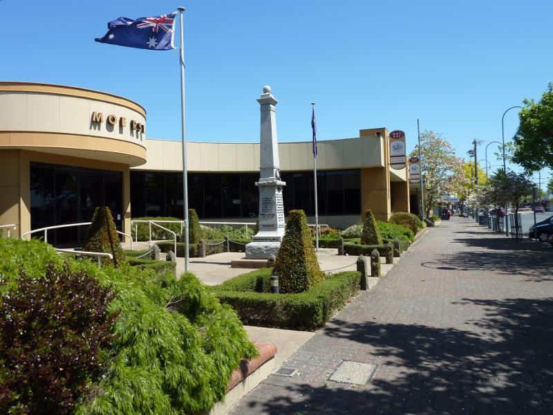 Shops and commercial Centre, Moore Street, George Street and Albert Street - View west along Albert St at Moe RSL
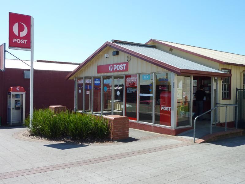
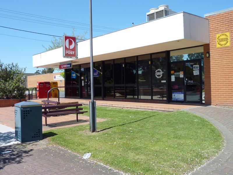 Shops and commercial Centre, Moore Street, George Street and Albert Street - Moe Post Office, corner Albert St and Kirk St
 Shops and commercial Centre, Moore Street, George Street and Albert Street - View east along Albert St towards Moore St
 Shops and commercial Centre, Moore Street, George Street and Albert Street - View east along Albert St towards Market St
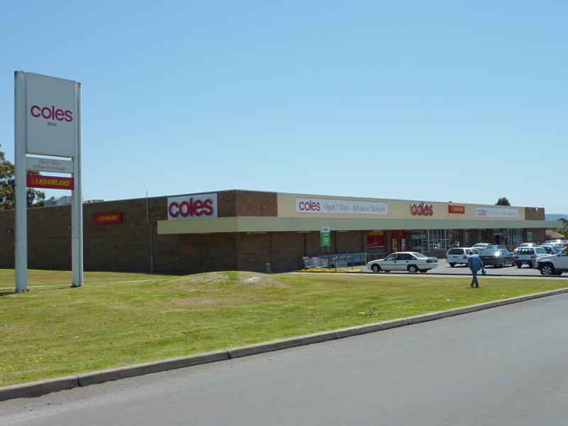 Shops and commercial Centre, Moore Street, George Street and Albert Street - Coles supermarket, Albert St west of Market St
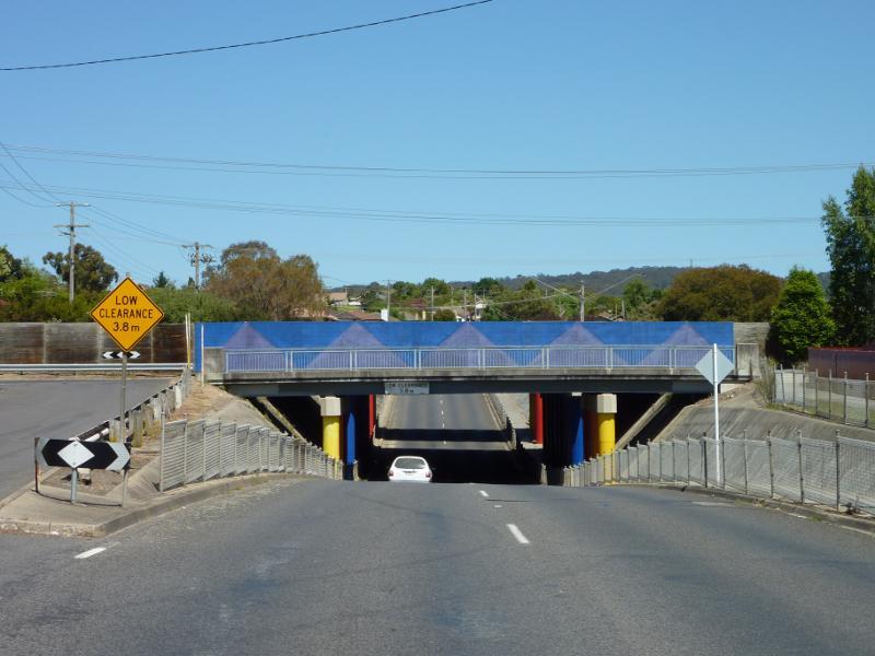
 Moe railway station and surroundings - View west along Moore St opposite station (redevelopment area)
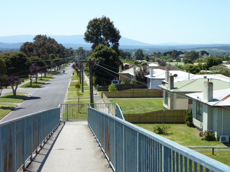
 Moe railway station and surroundings - View north along walkway on east side of station
 Moe railway station and surroundings - View south along walkway on east side of station towards Lloyd St
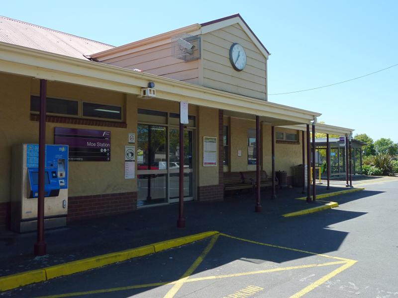 Moe railway station and surroundings - Station entrance at car park
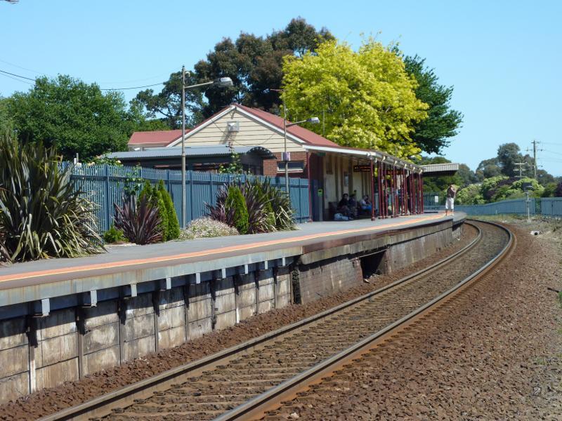
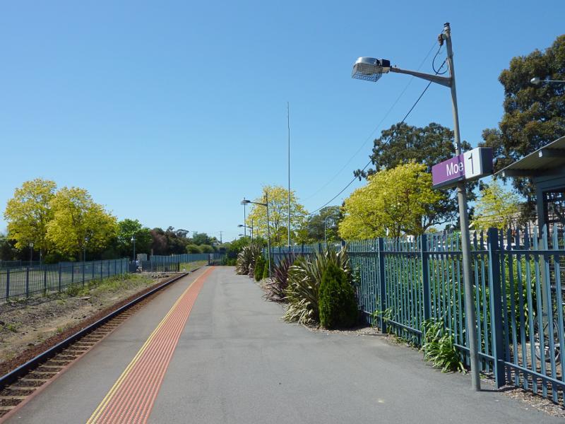 Moe railway station and surroundings - View east along station platform
 Moe railway station and surroundings - View west along railway line towards station
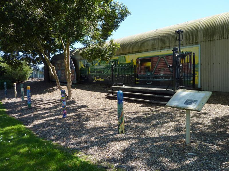 Moe railway station and surroundings - Mural on station platform facing park on west side of station
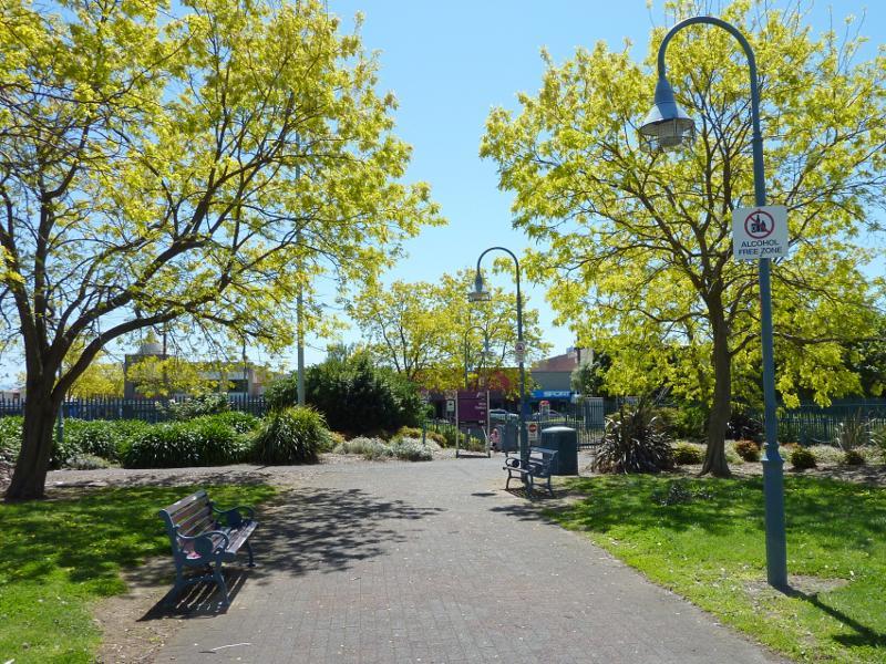
 Lloyd Street near railway station - View south through park west of Fowler St towards Moe Courthouse
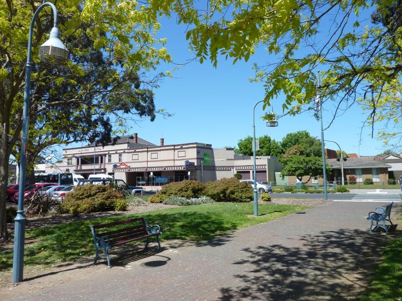
 Lloyd Street near railway station - View east along Lloyd St at Fowler St towards Moe Hotel
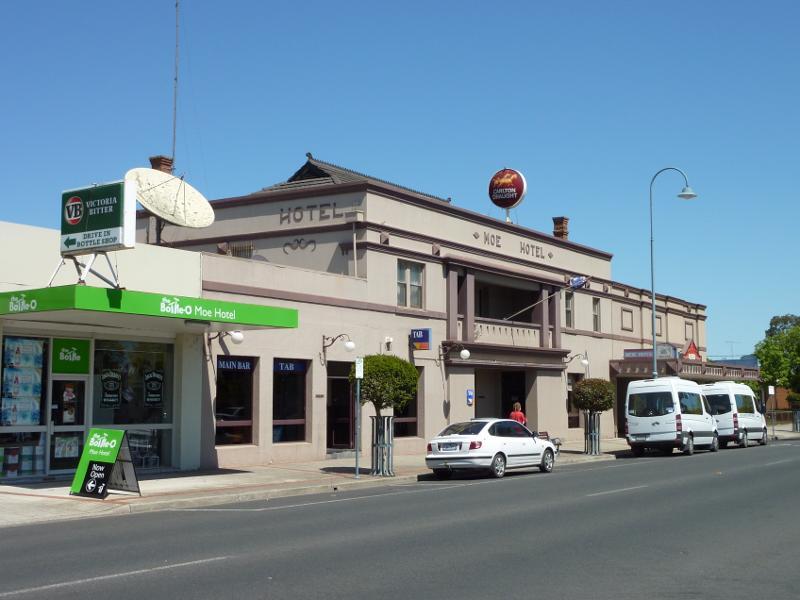 Lloyd Street near railway station - Moe Hotel, Lloyd St east of Fowler St
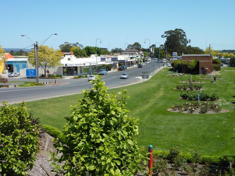
 Lloyd Street near railway station - View west through rose gardens, Lloyd St near Linton Av
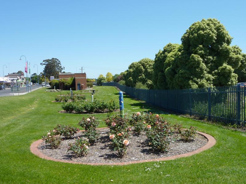
 Lloyd Street near railway station - View south through rose gardens towards Lloyd St at Linton Av
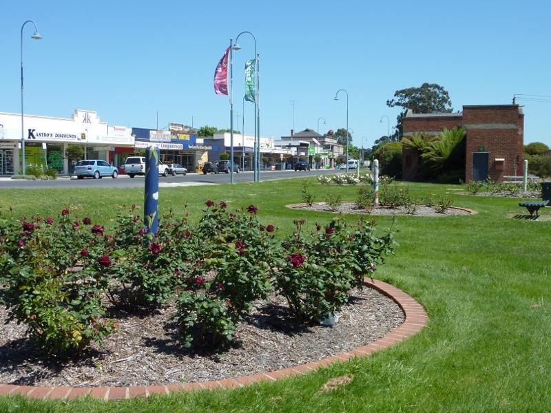
 Lloyd Street near railway station - View west through rose gardens, Lloyd St east of Linton Av
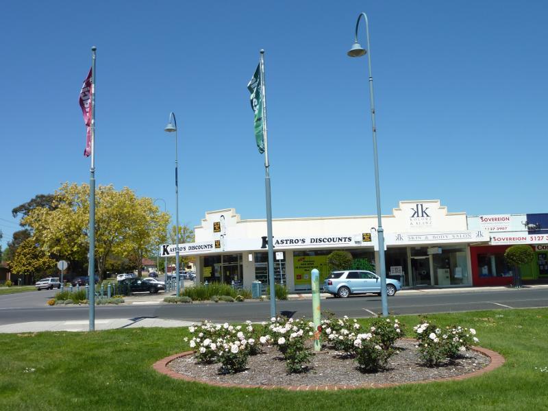
 Lloyd Street near railway station - View west along Lloyd St and rose gardens at High St
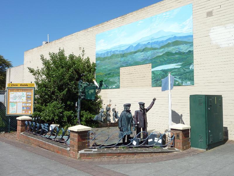
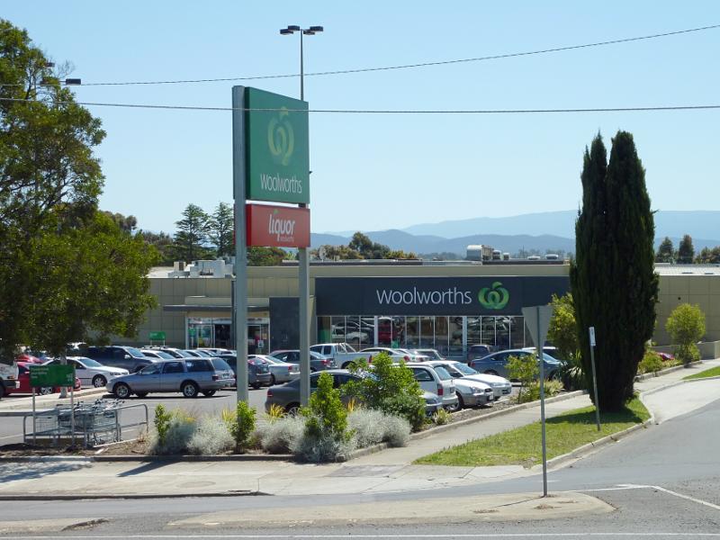 Anzac Street - Woolworths supermarket, corner Anzac St and George St
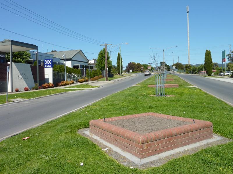 Anzac Street - View south along Anzac St at Moe Police Station towards George St
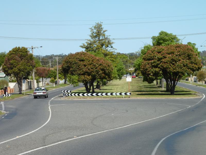
 Anzac Street - View north along Anzac St towards Haigh St
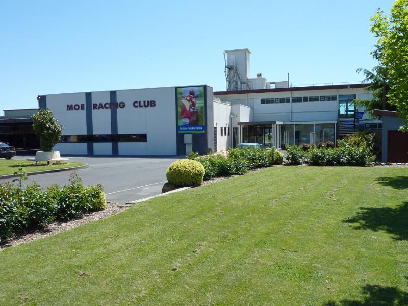 Moe Racecourse and Joe Tabuteau Reserve, Waterloo Road and Saviges Road - Entrance to Moe Racing Club, Waterloo Rd
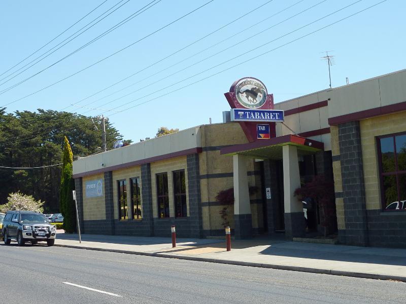 Moe Racecourse and Joe Tabuteau Reserve, Waterloo Road and Saviges Road - Moe Racing Club Taberet, Waterloo Rd
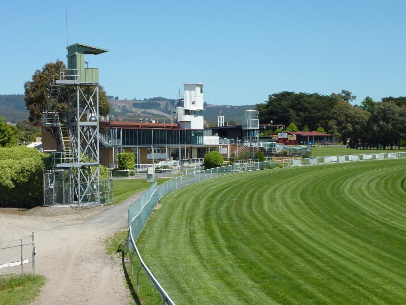 Moe Racecourse and Joe Tabuteau Reserve, Waterloo Road and Saviges Road - View across racecourse towards grandstand
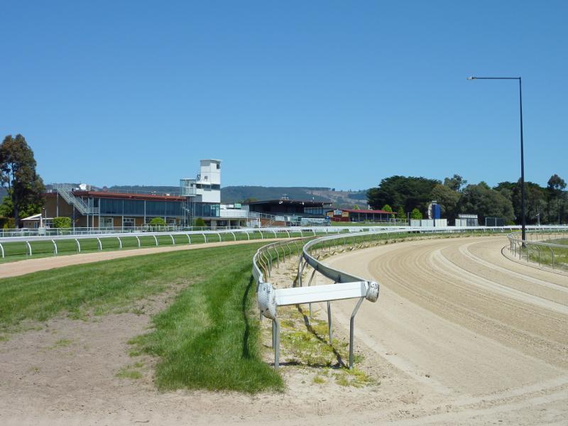 Moe Racecourse and Joe Tabuteau Reserve, Waterloo Road and Saviges Road - View along race track in front of grandstand
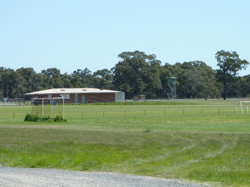 Moe Racecourse and Joe Tabuteau Reserve, Waterloo Road and Saviges Road - Sports oval in centre of race track
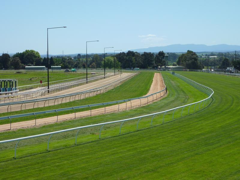 Moe Racecourse and Joe Tabuteau Reserve, Waterloo Road and Saviges Road - View north-west along race track parallel to Saviges Rd
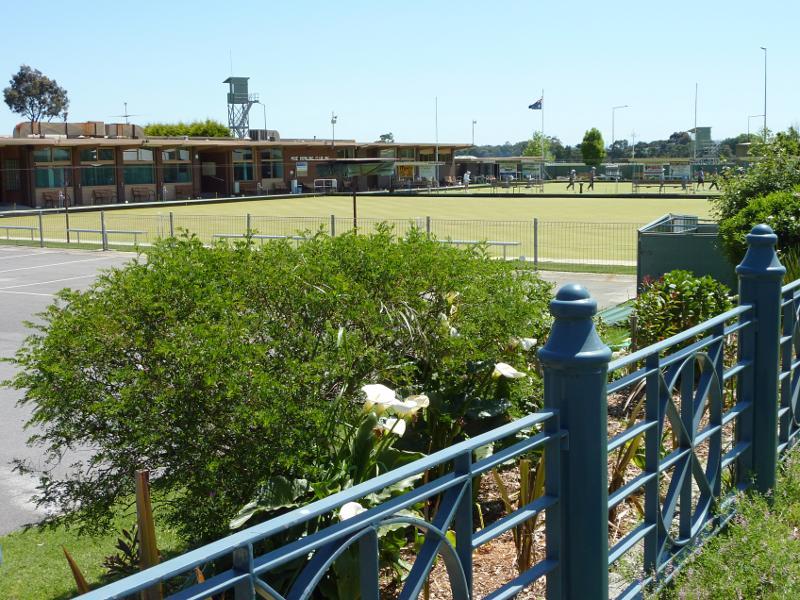 Moe Racecourse and Joe Tabuteau Reserve, Waterloo Road and Saviges Road - Moe Bowling club viewed from corner of Waterloo Rd and Saviges Rd
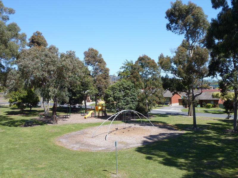
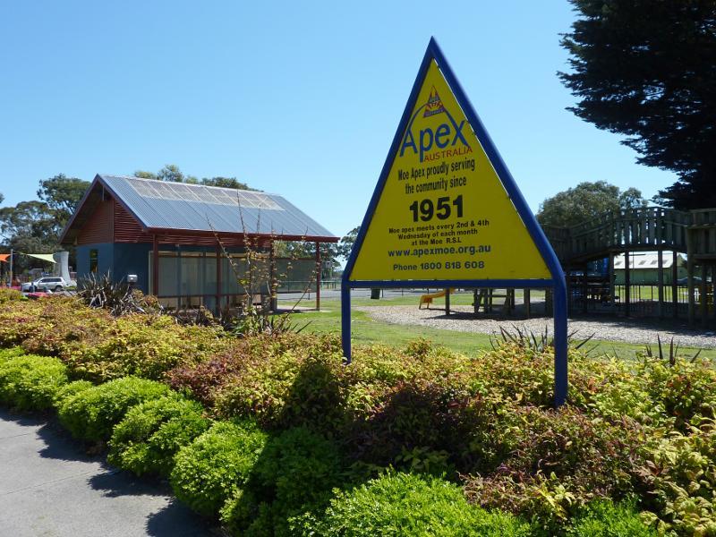 Apex Park and Lions Park, Waterloo Road - Apex Park viewed from Waterloo Rd
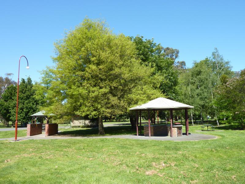
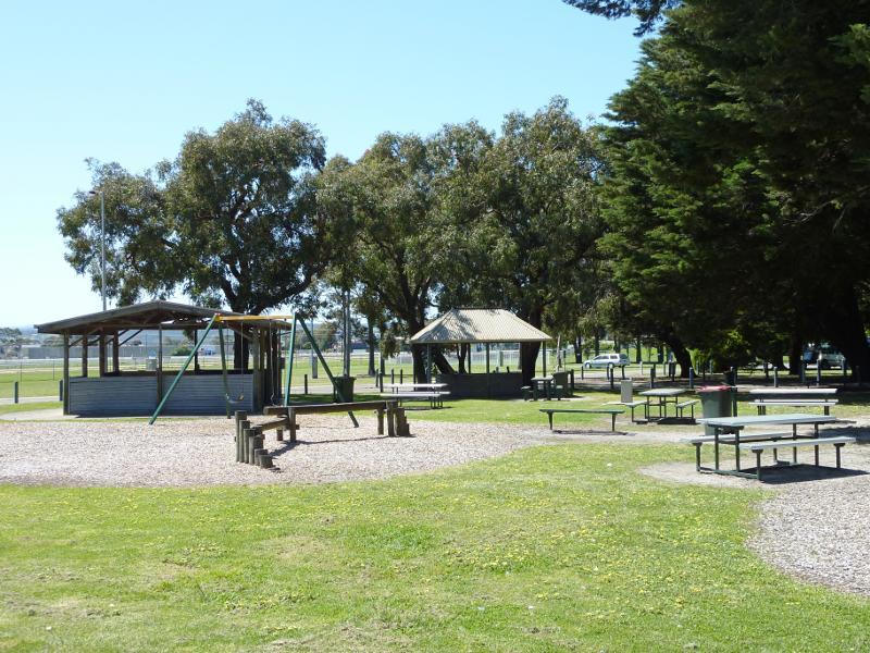 Apex Park and Lions Park, Waterloo Road - Picnic area, shelters and playground, Apex Park
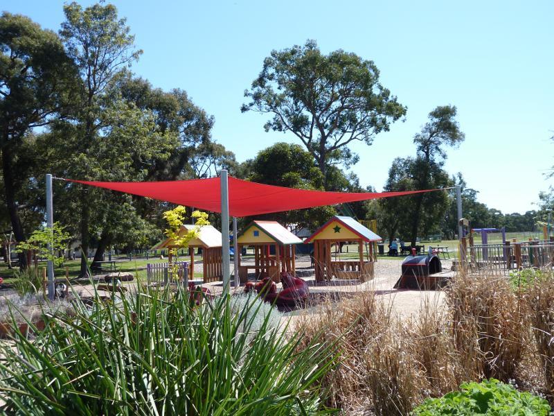 Apex Park and Lions Park, Waterloo Road - Adventure playground at Lions Park
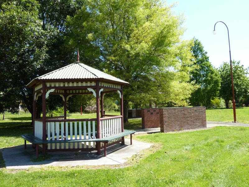
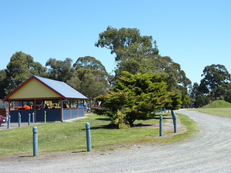 Apex Park and Lions Park, Waterloo Road - Shelter beside playground at Lions Park
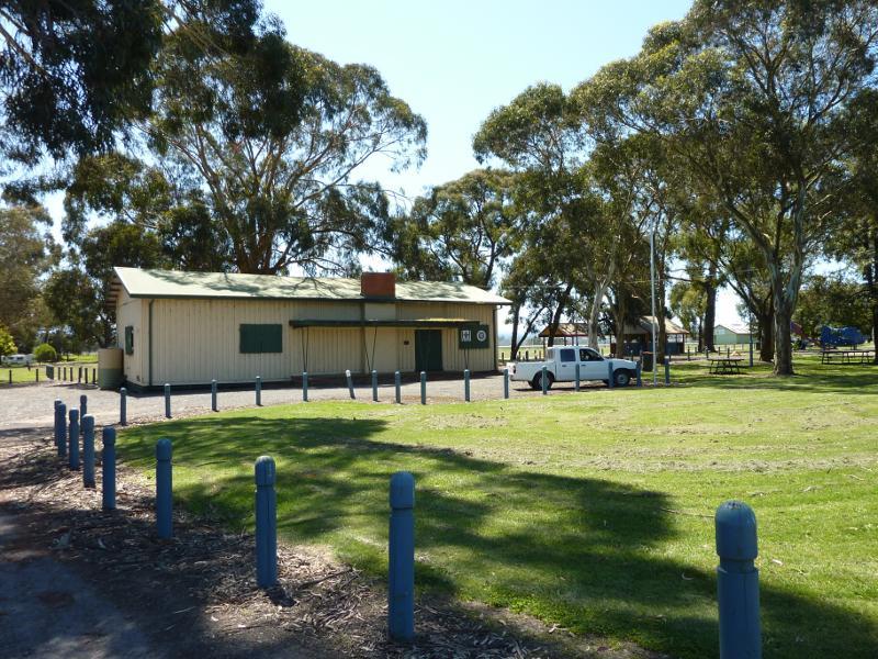 Apex Park and Lions Park, Waterloo Road - Scouts hall, Lions Park
 Apex Park and Lions Park, Waterloo Road - View through Lions Park
 Apex Park and Lions Park, Waterloo Road - Playground at corner of Waterloo Rd and Mitchells Rd
 Apex Park and Lions Park, Waterloo Road - View towards racecourse from Lions Park
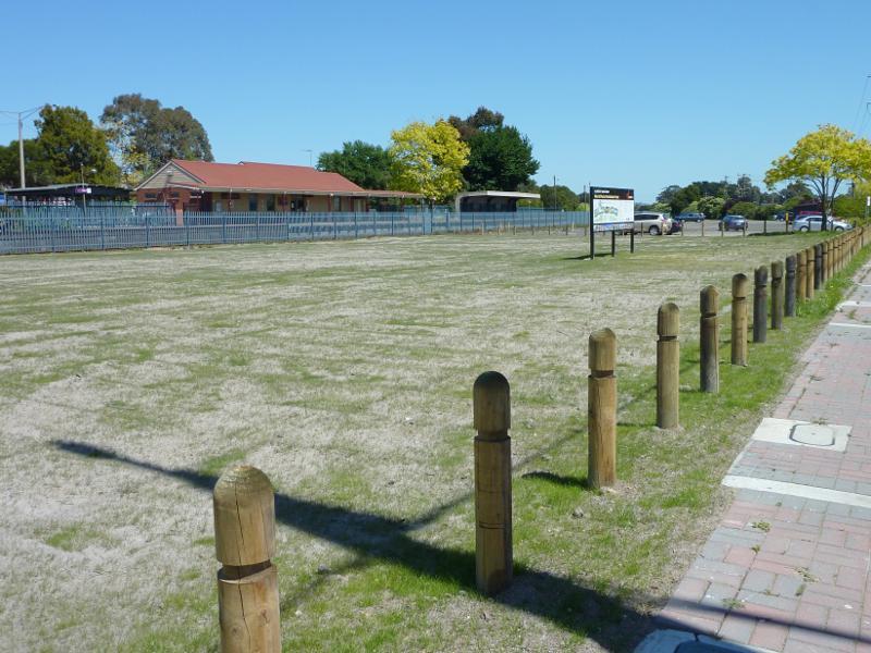
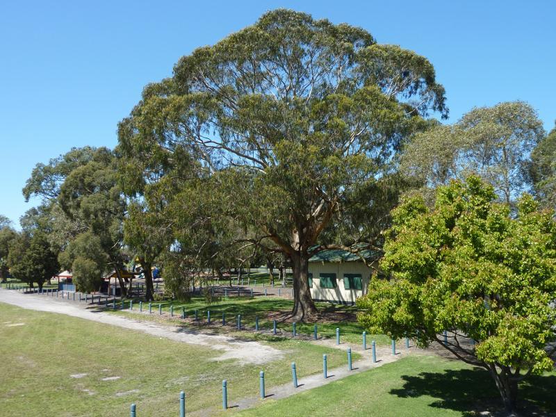
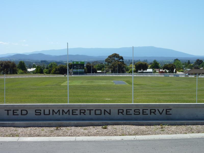
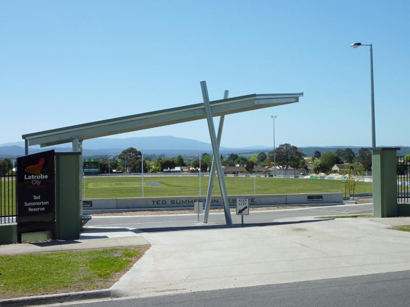 Ted Summerton Reserve - South St entrance
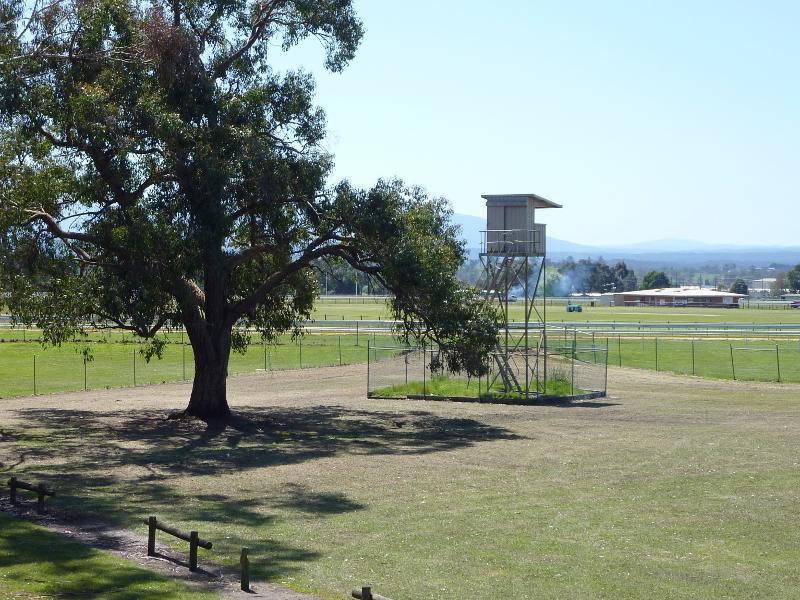
 Ted Summerton Reserve - View north across oval near entrance at South St
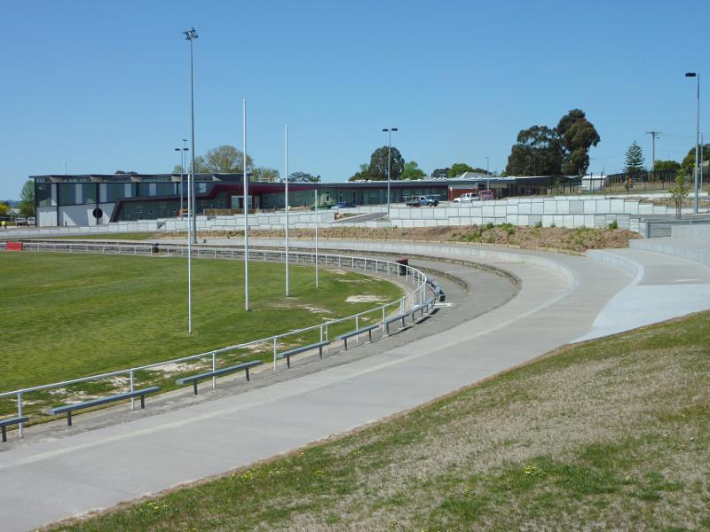 Ted Summerton Reserve - North-easterly view from southern side of oval
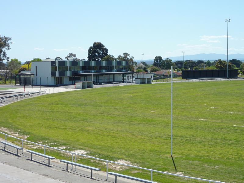 Ted Summerton Reserve - North-westerly view from southern side of oval
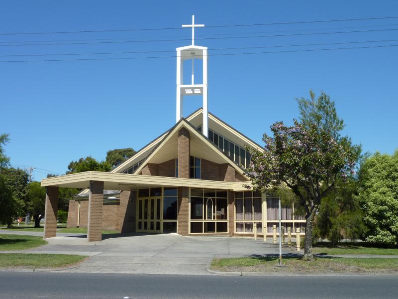 Around Moe - St Kieran's catholic church, corner Waterloo Rd and Wirraway St
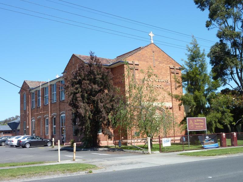 Around Moe - St Kieran's Primary School, Waterloo Rd
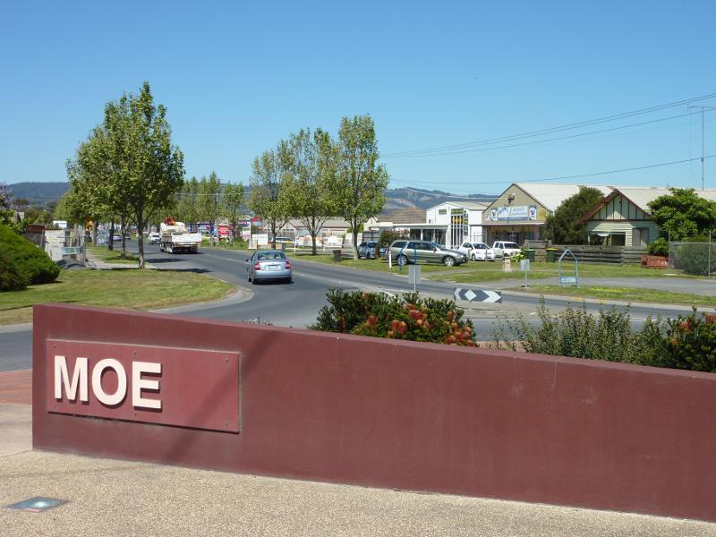 Around Moe - Moe sign, view south along Moore St at Old Sale Rd
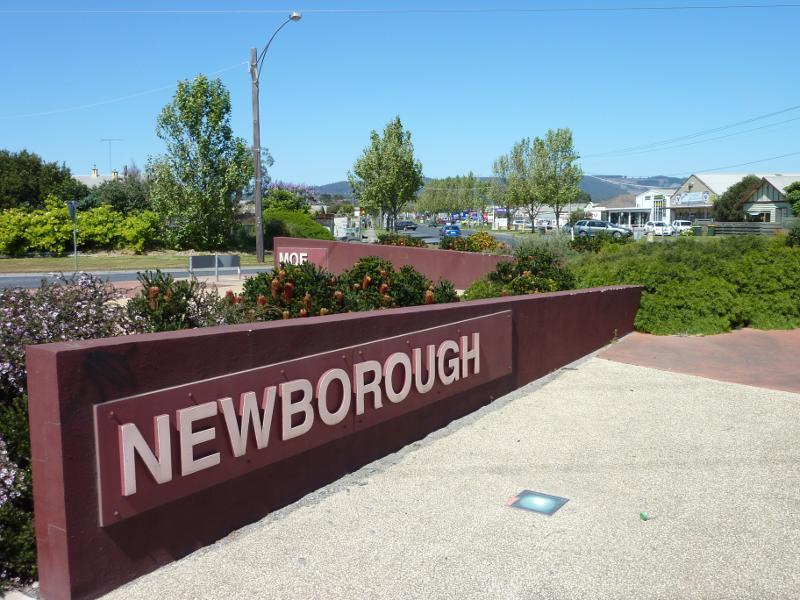 Around Moe - Newborough sign at junction of Moore St and Old Sale Rd
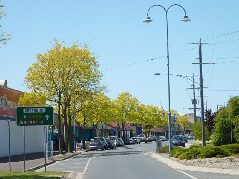
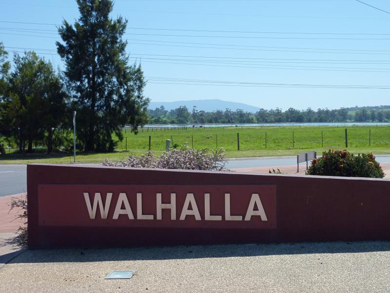 Around Moe - Walhalla sign, Walhalla Rd at Moore St, view north towards sewage treatment works
 Around Moe - View south along Old Gippstown Dr towards Mountain Glen Dr
 Around Moe - South-east corner of Old Gippstown Dr and Mountain Glen Dr
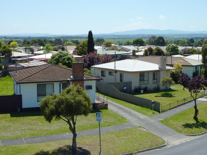
 Around Moe - South-easterly view from Mountain Glen Dr towards houses along Watsons Rd
 Around Moe - Southerly view from Mountain Glen Dr at Old Gippstown Dr
 Around Moe - South-westerly view from Mountain Glen Dr at Old Gippstown Dr
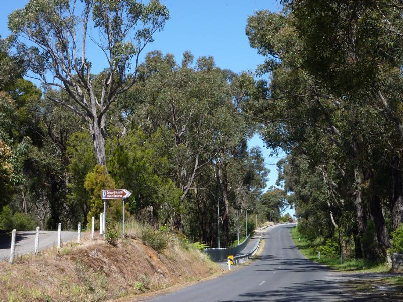
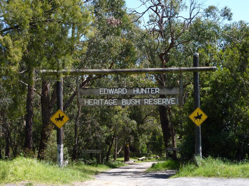 Edward Hunter Heritage Bush Reserve, Coalville Road - Entrance at Coalville Rd
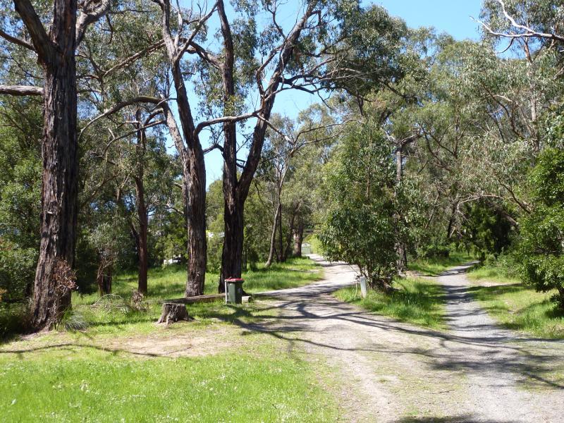 Edward Hunter Heritage Bush Reserve, Coalville Road - Path between car park and lake
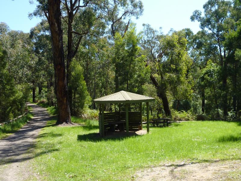 Edward Hunter Heritage Bush Reserve, Coalville Road - Picnic shelter near lake
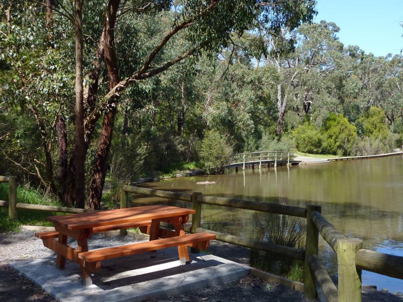 Edward Hunter Heritage Bush Reserve, Coalville Road - Table overlooking lake and boardwalk
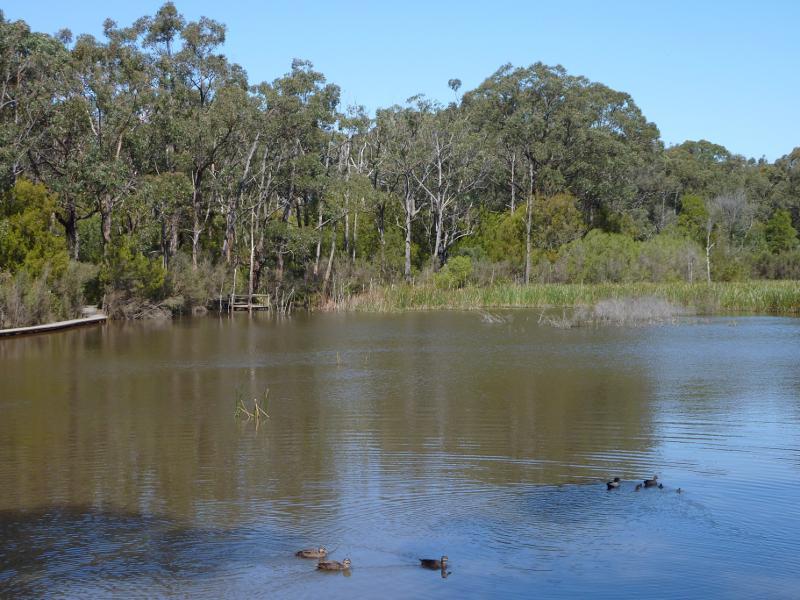 Edward Hunter Heritage Bush Reserve, Coalville Road - View across lake
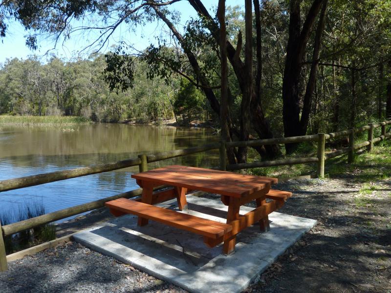 Edward Hunter Heritage Bush Reserve, Coalville Road - Table overlooking lake
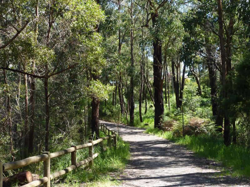 Edward Hunter Heritage Bush Reserve, Coalville Road - Path beside lake
 Edward Hunter Heritage Bush Reserve, Coalville Road - View south-east along Coalville Rd towards second entrance to reserve
 Edward Hunter Heritage Bush Reserve, Coalville Road - Car park at second entrance to reserve
 Edward Hunter Heritage Bush Reserve, Coalville Road - Shelter at second entrance to reserve
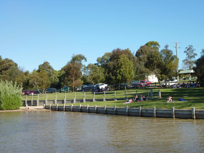
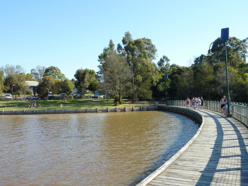
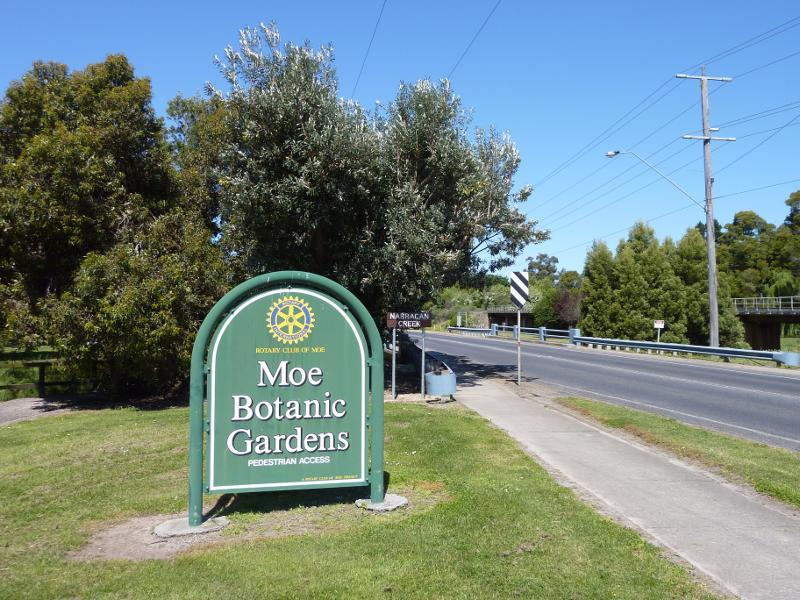 Moe Botanic Gardens along Narracan Creek - Moe Botanic Gardens sign, Narracan Dr at Narracan Creek
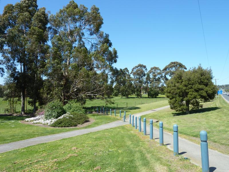 Moe Botanic Gardens along Narracan Creek - Easterly view through gardens, Narracan Dr at Narracan Creek
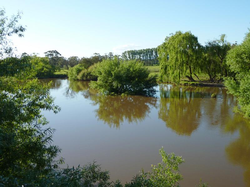
 Moe Botanic Gardens along Narracan Creek - View north across Narracan Creek towards gardens near Narracan Dr
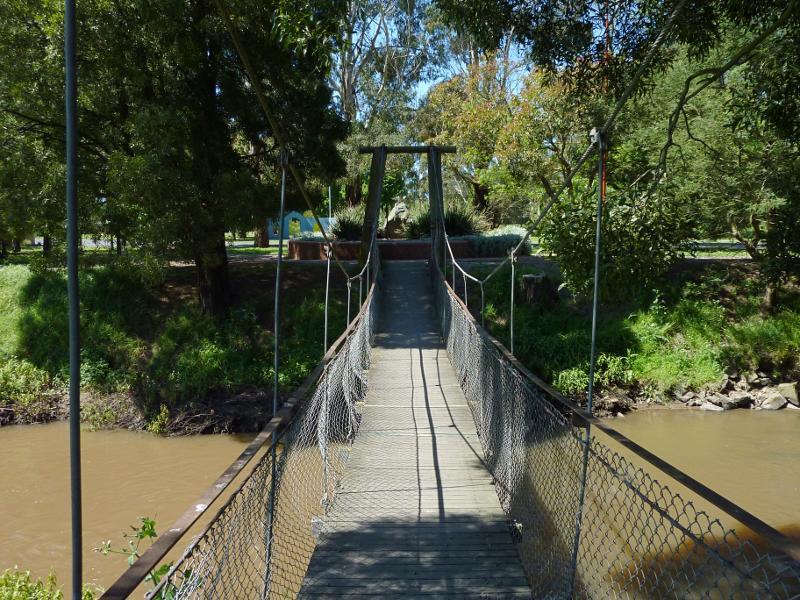 Moe Botanic Gardens along Narracan Creek - Footbridge across Narracan Creek near Narracan Dr
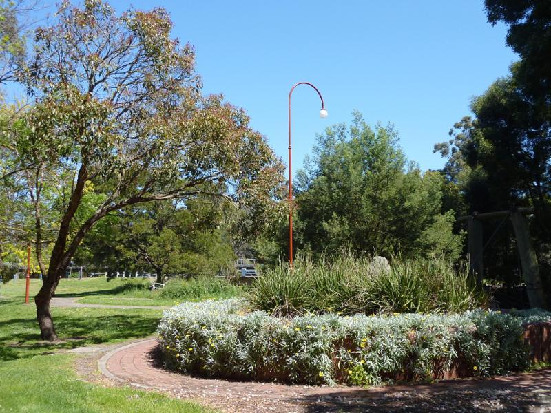 Moe Botanic Gardens along Narracan Creek - Gardens near footbridge
 Moe Botanic Gardens along Narracan Creek - Pathway through gardens near Narracan Dr
 Moe Botanic Gardens along Narracan Creek - BBQ shelter
 Moe Botanic Gardens along Narracan Creek - Rotunda
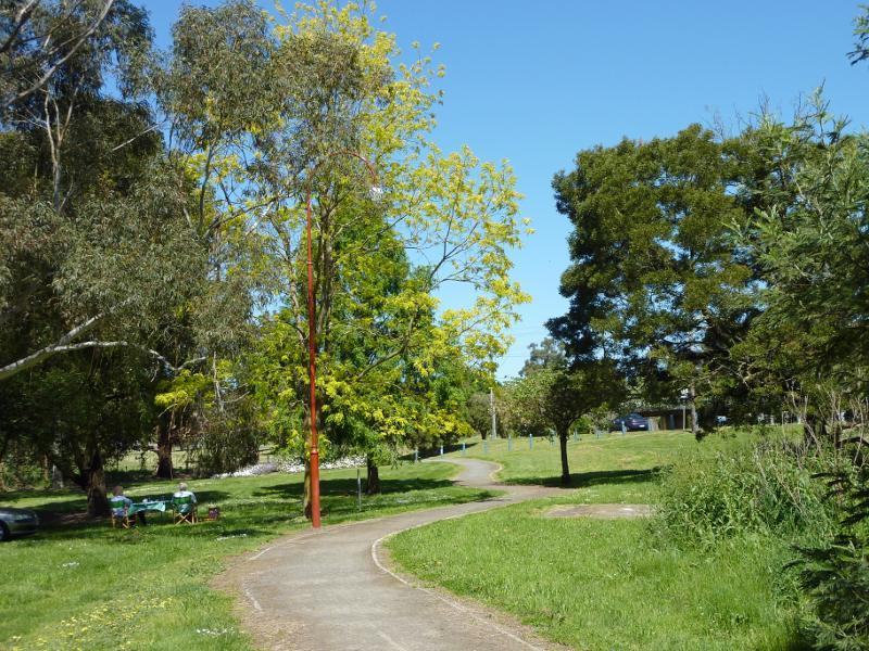
 Moe Botanic Gardens along Narracan Creek - View through gardens
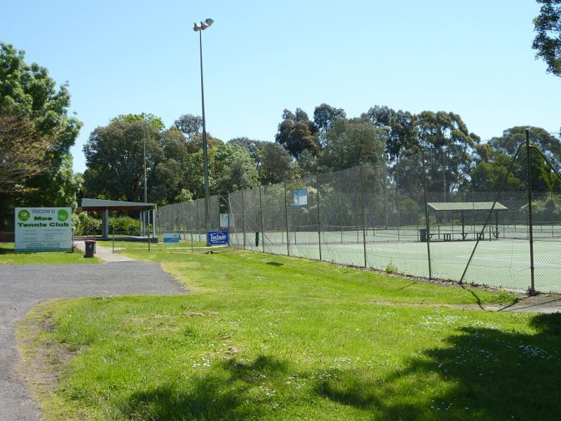 Moe Botanic Gardens along Narracan Creek - Tennis courts
 Moe Botanic Gardens along Narracan Creek - View through gardens
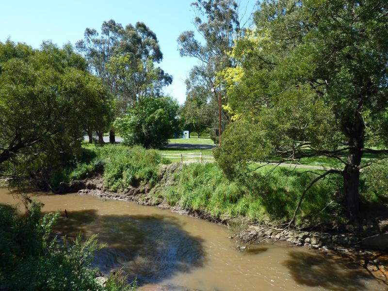
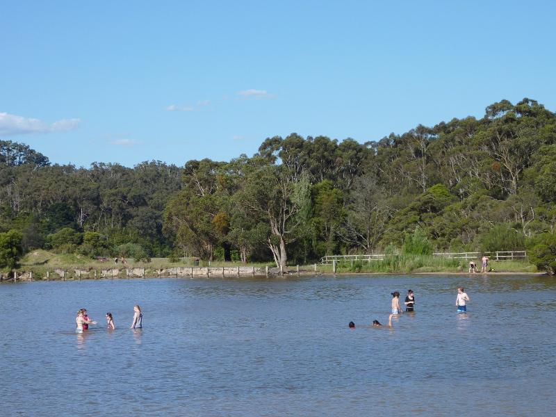
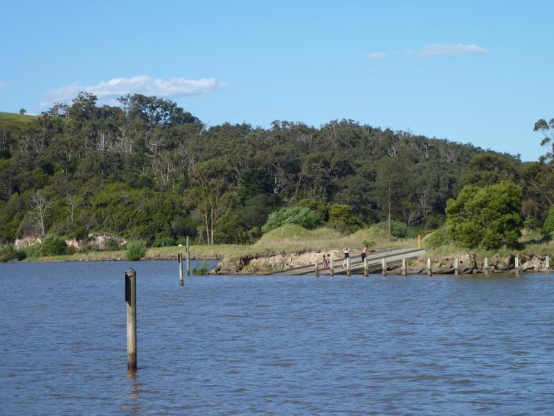
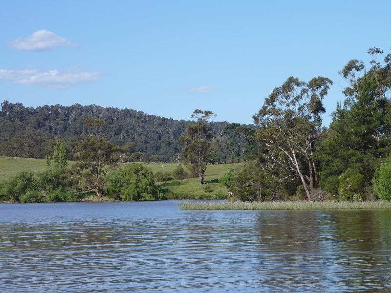
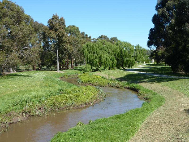 Moe Botanic Gardens along Narracan Creek - View south along Narracan Creek near Haigh St
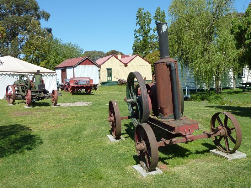
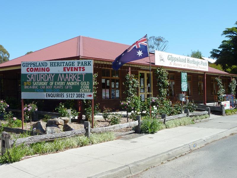 Gippsland Heritage Park, Lloyd Street - Visitor centre facing Lloyd St
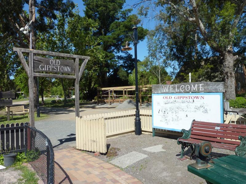 Gippsland Heritage Park, Lloyd Street - Entrance to Old Gippstown
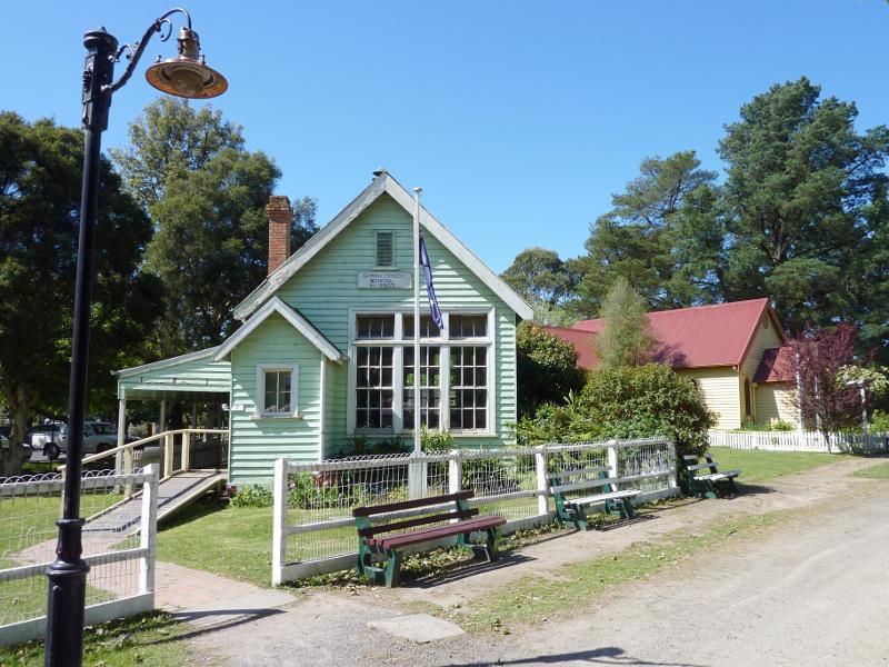 Gippsland Heritage Park, Lloyd Street - Sunny Creek School
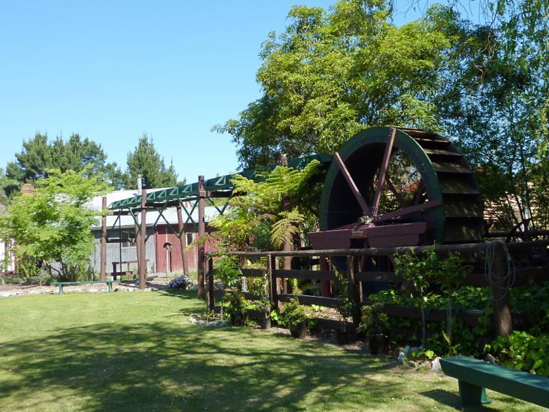 Gippsland Heritage Park, Lloyd Street - Water wheel
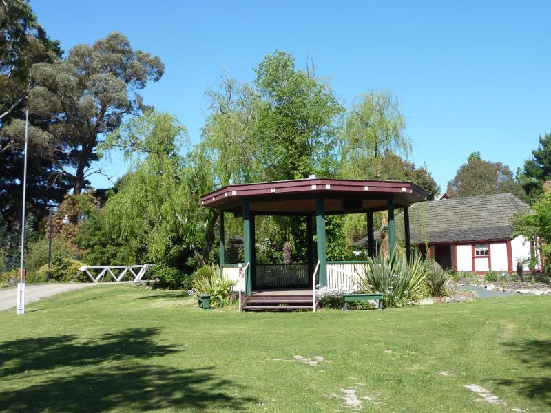 Gippsland Heritage Park, Lloyd Street - Rotunda
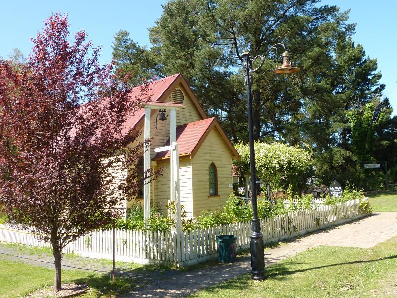 Gippsland Heritage Park, Lloyd Street - Holy Trinity Anglican church
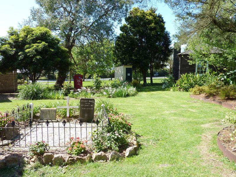 Gippsland Heritage Park, Lloyd Street - Garden and graves behind Holy Trinity Anglican church
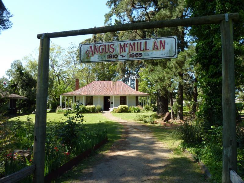 Gippsland Heritage Park, Lloyd Street - Angus McMillan's Bushy Park homestead
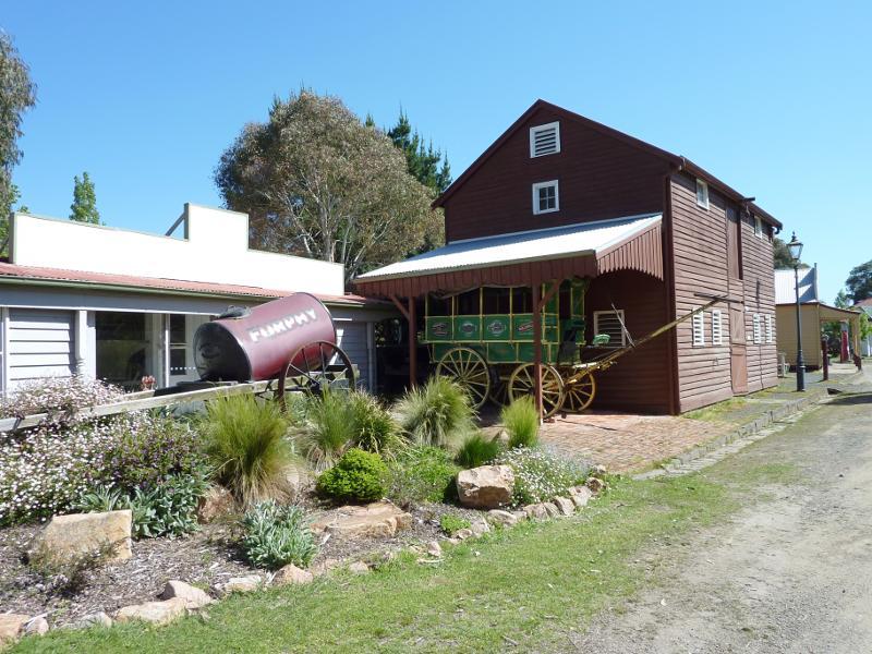
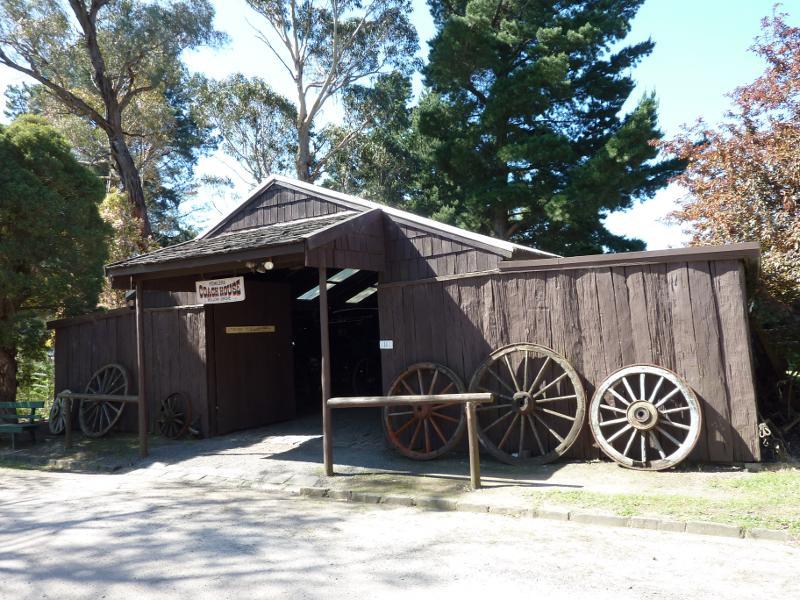 Gippsland Heritage Park, Lloyd Street - Fowler's Coach House
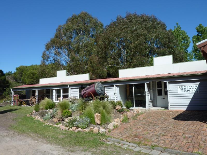 Gippsland Heritage Park, Lloyd Street - Printers building and military display
 Gippsland Heritage Park, Lloyd Street - Livery stable
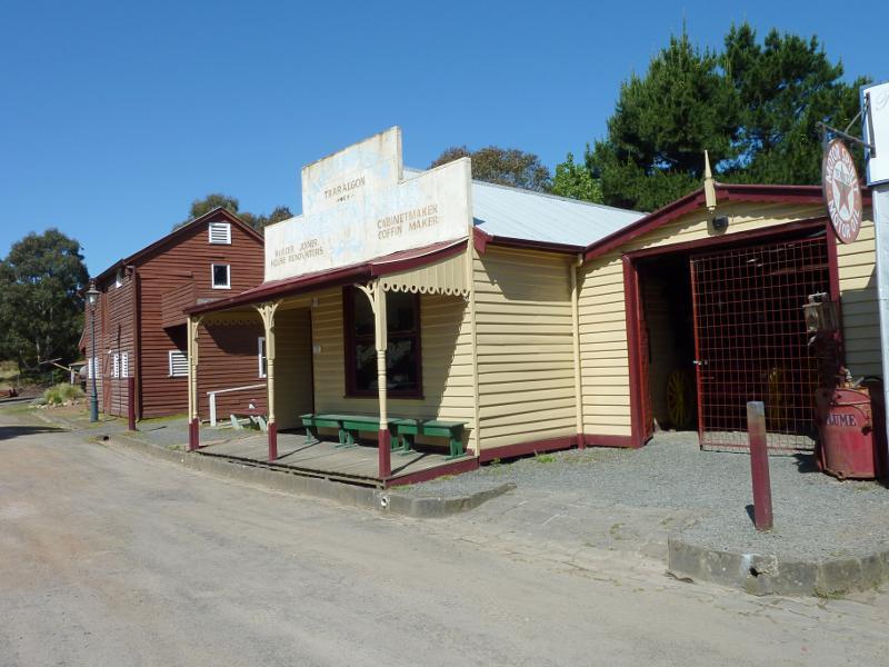 Gippsland Heritage Park, Lloyd Street - Funeral parlour
 Gippsland Heritage Park, Lloyd Street - Rhoden's Halfway House (hotel)
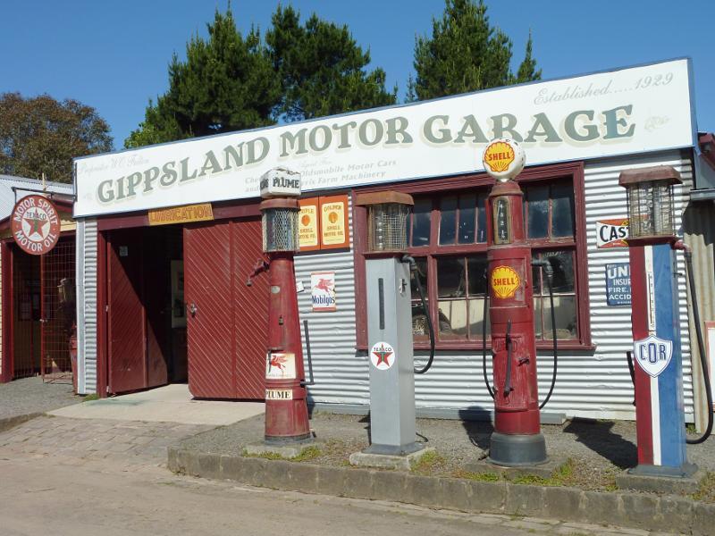 Gippsland Heritage Park, Lloyd Street - Gippsland Motor Garage
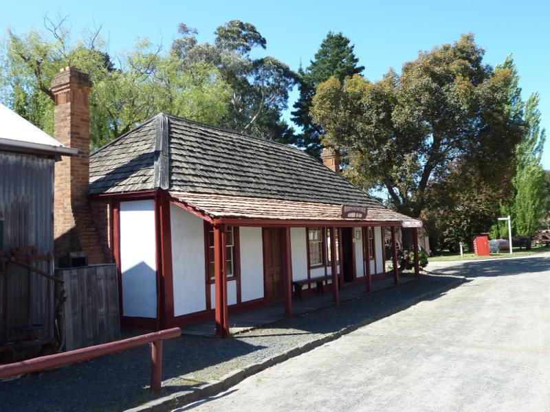
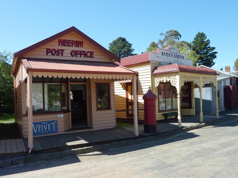 Gippsland Heritage Park, Lloyd Street - Neerim post office and Sarah Carter dressmaker
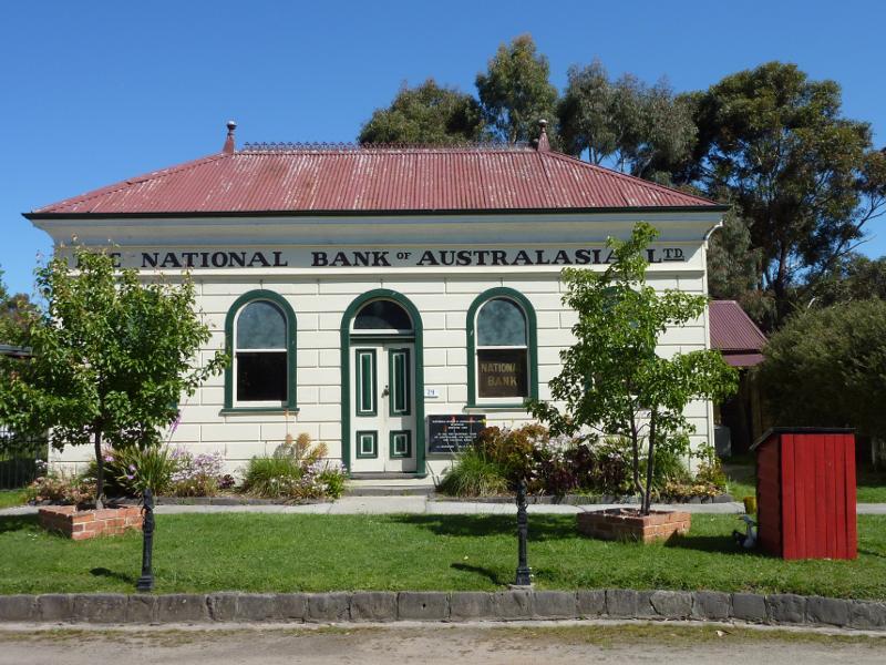 Gippsland Heritage Park, Lloyd Street - Meeniyan National Bank of Australia
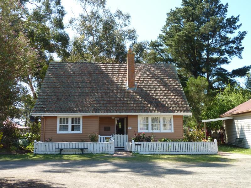 Gippsland Heritage Park, Lloyd Street - Doctor Andrew's residence
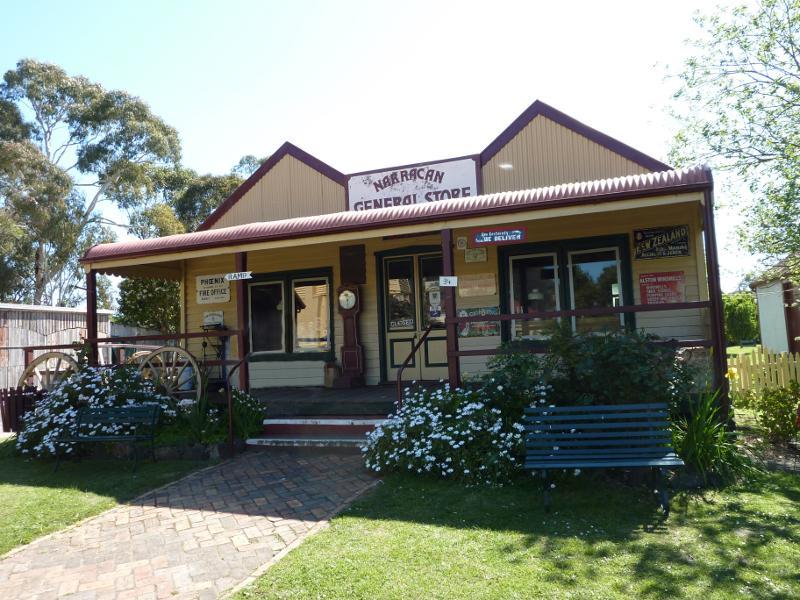 Gippsland Heritage Park, Lloyd Street - Narracan General Store
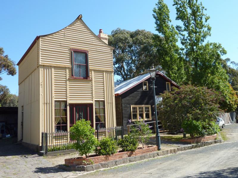 Gippsland Heritage Park, Lloyd Street - 'Loren' iron house and coach builder's workshop
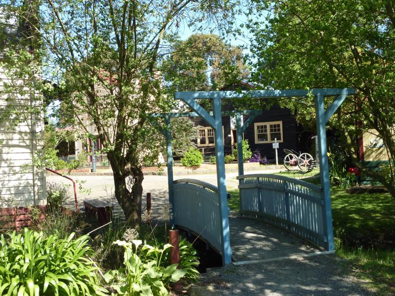 Gippsland Heritage Park, Lloyd Street - Footbridge near general store and coach builder's workshop
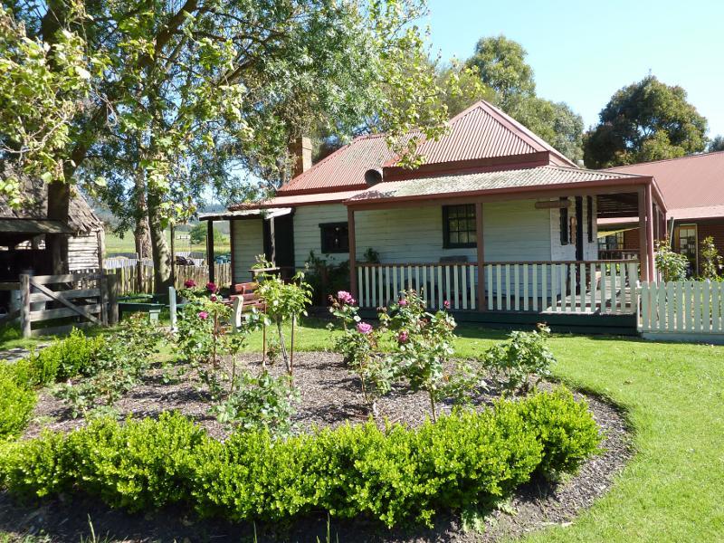 Gippsland Heritage Park, Lloyd Street - Ashdale farm house
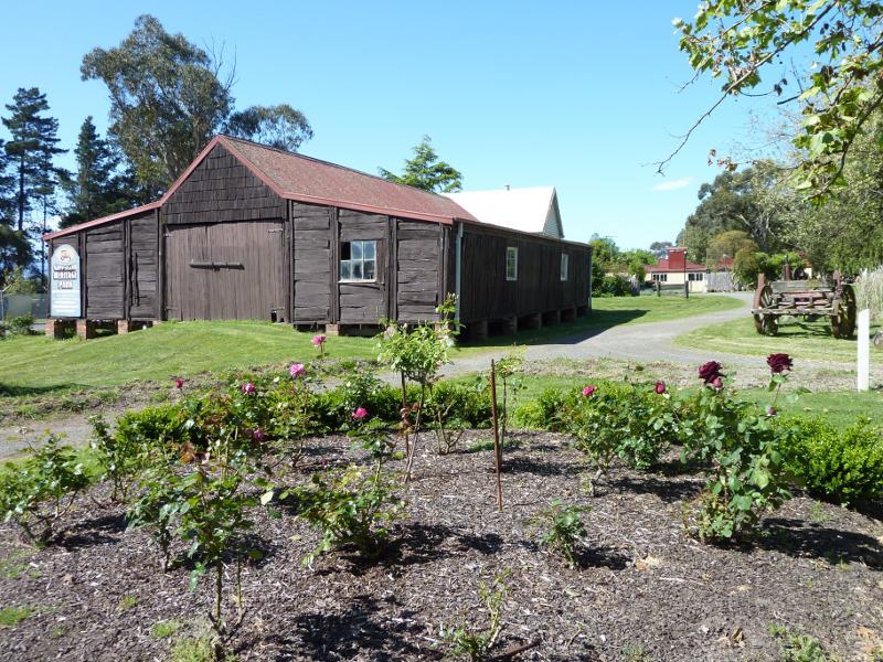 Gippsland Heritage Park, Lloyd Street - Ashdale shearing shed
 Gippsland Heritage Park, Lloyd Street - Farm equipment
 Gippsland Heritage Park, Lloyd Street - Narracan Mechanics Institute and free library
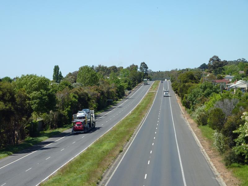
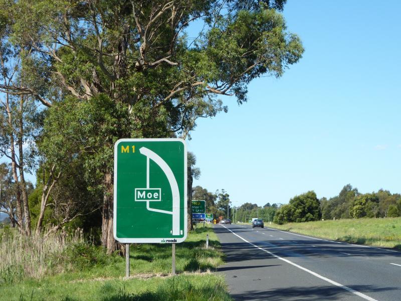 Princes Freeway and surroundings through Moe - View north-east along Princes Fwy approaching Lloyd St exit
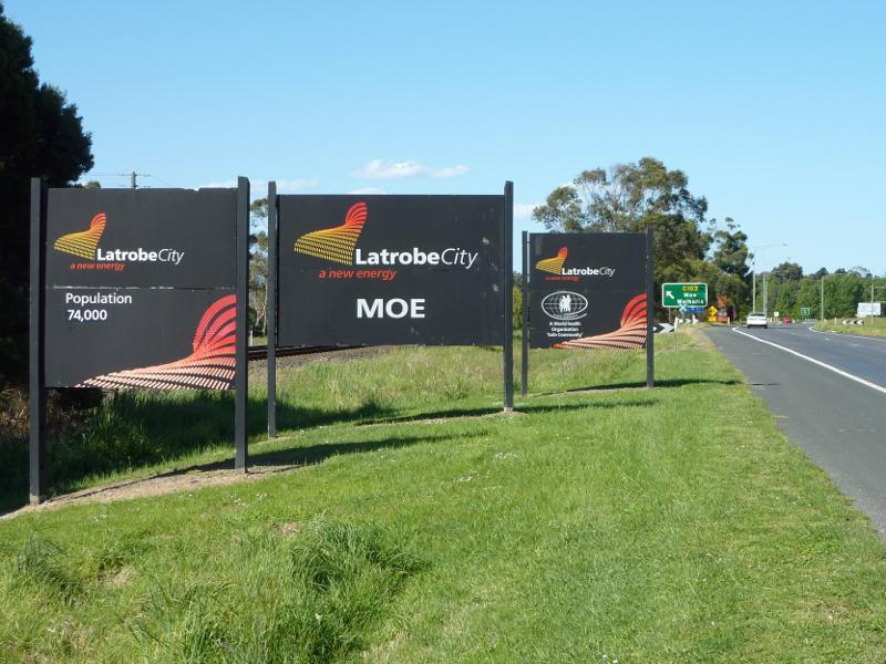 Princes Freeway and surroundings through Moe - Latrobe City and Moe sign, Princes Fwy west of Lloyd St exit
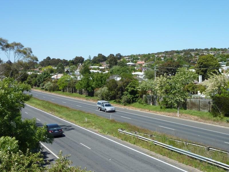
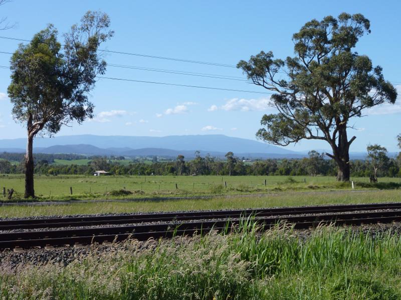 Princes Freeway and surroundings through Moe - Northerly view across railway line from Princes Hwy west of Lloyd St exit
 Princes Freeway and surroundings through Moe - View south-west along Lloyd St towards Princes Fwy
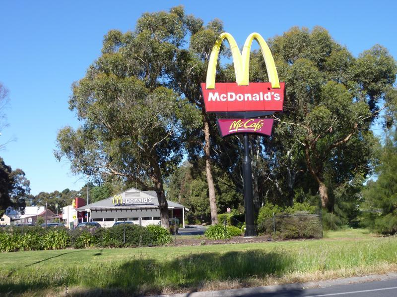 Princes Freeway and surroundings through Moe - McDonalds, Lloyd St at Princes Fwy interchange
 Princes Freeway and surroundings through Moe - Southerly view towards Princes Fwy at western end of Lloyd St
 Princes Freeway and surroundings through Moe - View east along Princes Fwy from Old Gippstown Dr overpass
 Princes Freeway and surroundings through Moe - View east along Princes Fwy from footbridge at end of Truscott Rd
 Princes Freeway and surroundings through Moe - South-easterly view over Princes Fwy from footbridge at end of Truscott Rd
 Princes Freeway and surroundings through Moe - Northerly view from footbridge at end of Truscott Rd
 Princes Freeway and surroundings through Moe - North-westerly view from footbridge at end of Truscott Rd
 Princes Freeway and surroundings through Moe - View south along Wirraway St towards Princes Fwy overpass
 Newborough commercial centre, Rutherglen Road - Corner of Monash Rd and Rutherglen Rd
 Newborough commercial centre, Rutherglen Road - North-westerly view across Monash Rd at Rutherglen Rd
 Newborough commercial centre, Rutherglen Road - Newborough post office, east side of Rutherglen Rd
 Newborough commercial centre, Rutherglen Road - Migrant display and sculptures, next to post office
 Newborough commercial centre, Rutherglen Road - View south-east along Rutherglen Rd
 Newborough commercial centre, Rutherglen Road - Shops along eastern side of Rutherglen Rd
 Newborough commercial centre, Rutherglen Road - View north-west along Rutherglen Rd
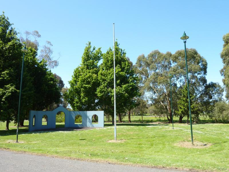
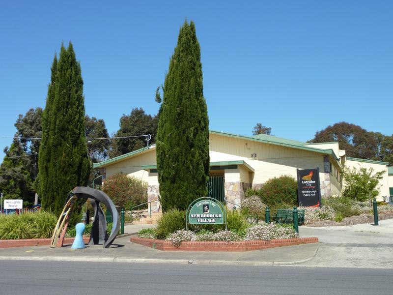 Newborough commercial centre, Rutherglen Road - Newborough Public Hall, Henry White Reserve, Balfour St opposite Rutherglen Rd
 Newborough at Old Sale Road - View south-east along Old Sale Rd towards Northern Av
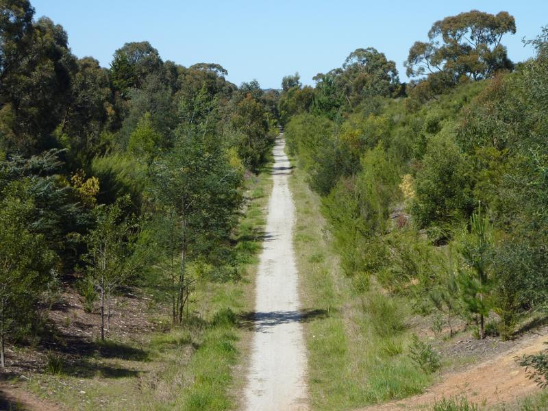 Newborough at Old Sale Road - View east along Moe - Yallourn Rail Trail from bridge at Old Sale Rd
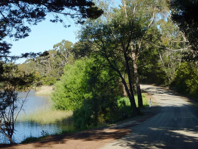
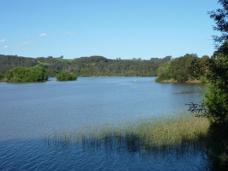
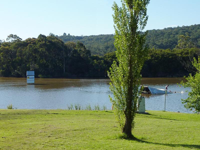
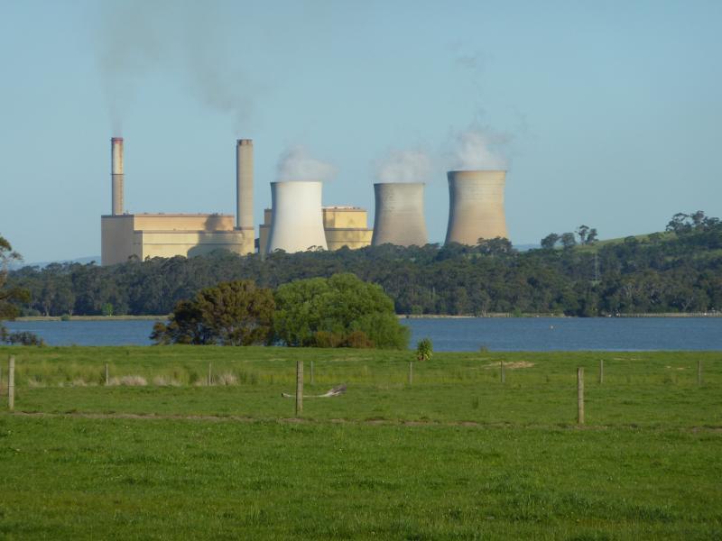 West side of Lake Narracan along Becks Bridge Road - South-easterly view across Lake Narracan towards Yallourn Power Station
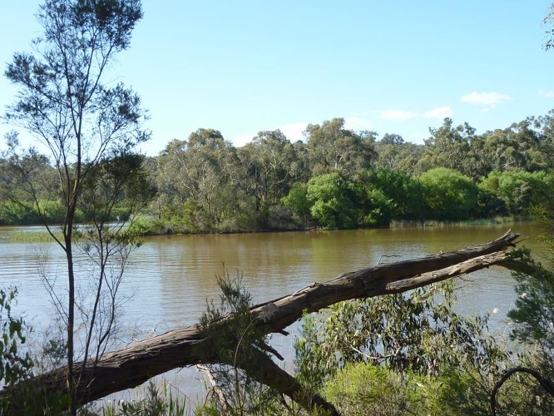
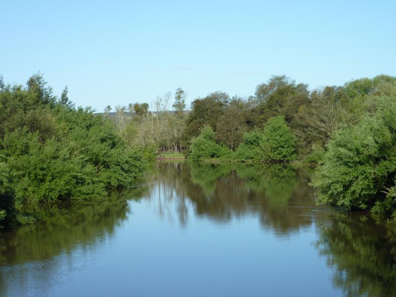 West side of Lake Narracan along Becks Bridge Road - View south-east along La Trobe River from bridge
 West side of Lake Narracan along Becks Bridge Road - View north-west over La Trobe River from bridge
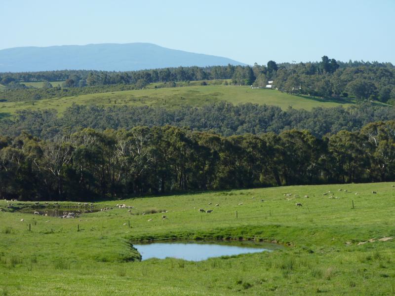
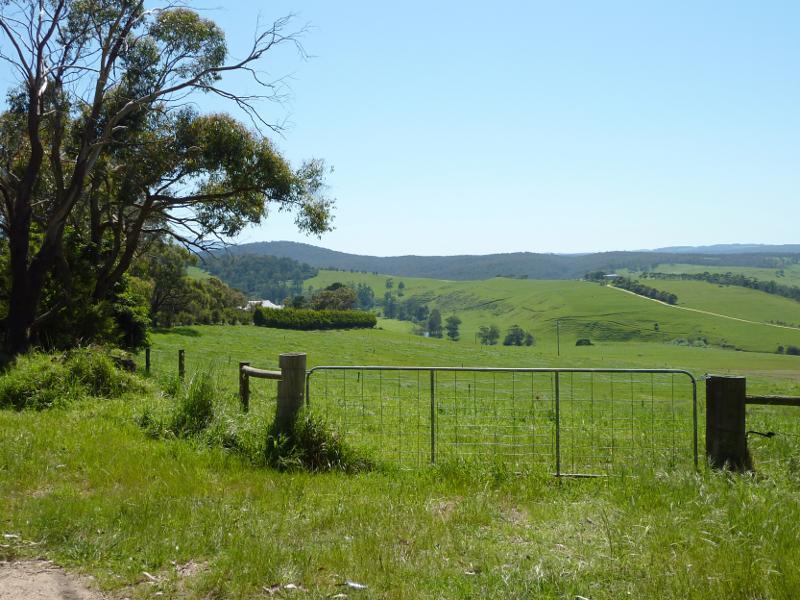
 West side of Lake Narracan along Becks Bridge Road - South-easterly view across farm land, just south of La Trobe River bridge
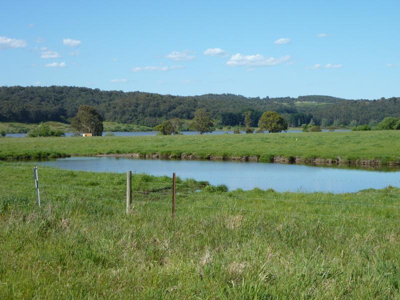
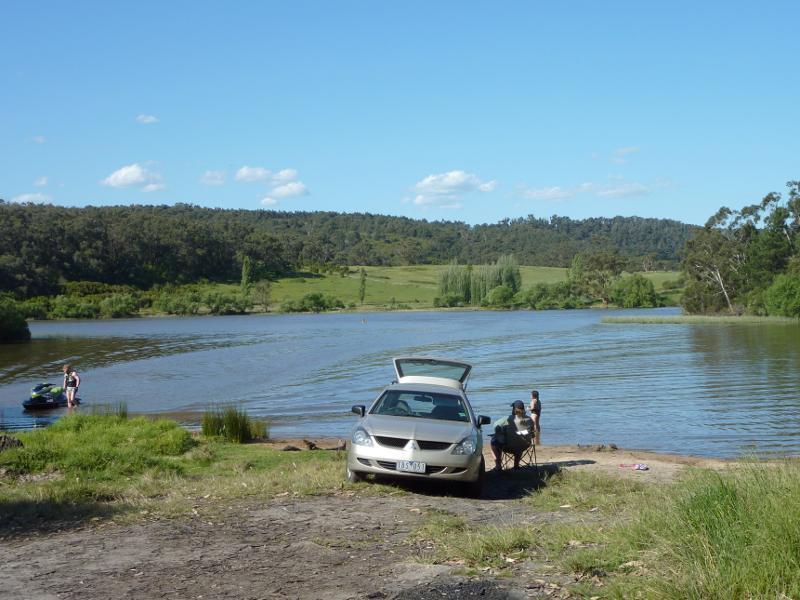
 South side of Lake Narracan along Hayes Road - View north along Hayes Rd towards Lake Narracan
 South side of Lake Narracan along Hayes Road - North-easterly view over dam towards Lake Narracan
 South side of Lake Narracan along Hayes Road - North-easterly view towards Lake Narracan from end of Hayes Rd
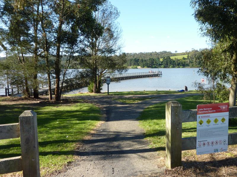 Turras Beach, west end of South Shore Road at Lake Narracan - Entrance to foreshore reserve at South Shore Rd
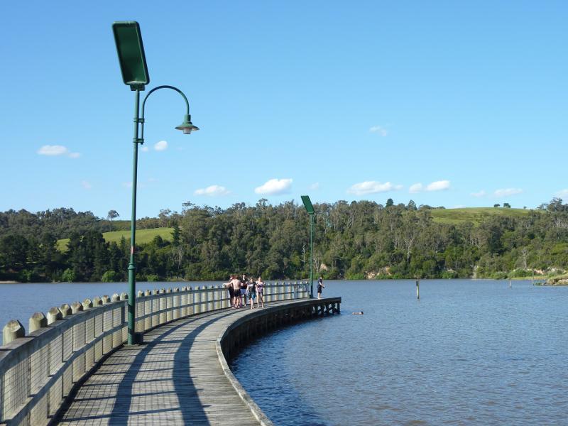
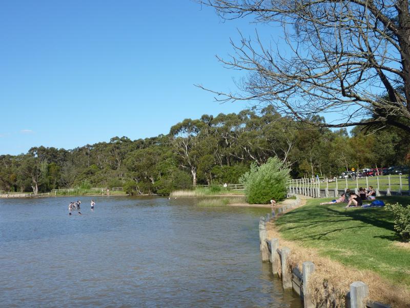 Turras Beach, west end of South Shore Road at Lake Narracan - Easterly view along lake foreshore at entrance to jetty
 Turras Beach, west end of South Shore Road at Lake Narracan - View towards lake foreshore from jetty
 Turras Beach, west end of South Shore Road at Lake Narracan - Easterly view across lake from jetty
 Turras Beach, west end of South Shore Road at Lake Narracan - View towards boat ramp from jetty
 Turras Beach, west end of South Shore Road at Lake Narracan - Southerly view along jetty
 Turras Beach, west end of South Shore Road at Lake Narracan - North-easterly view along jetty
 Turras Beach, west end of South Shore Road at Lake Narracan - View across lake from jetty towards northern shoreline
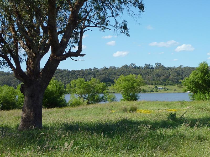
 South side of Lake Narracan along South Shore Road east of Sullivans Rd - North-easterly view towards lake near Sullivans Rd
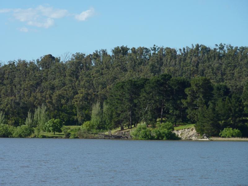
 South side of Lake Narracan along South Shore Road east of Sullivans Rd - Easterly view along lake
 South side of Lake Narracan along South Shore Road east of Sullivans Rd - North-easterly view across lake
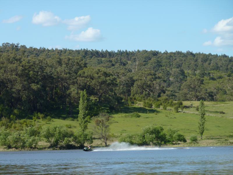 South side of Lake Narracan along South Shore Road east of Sullivans Rd - Jet skier on lake
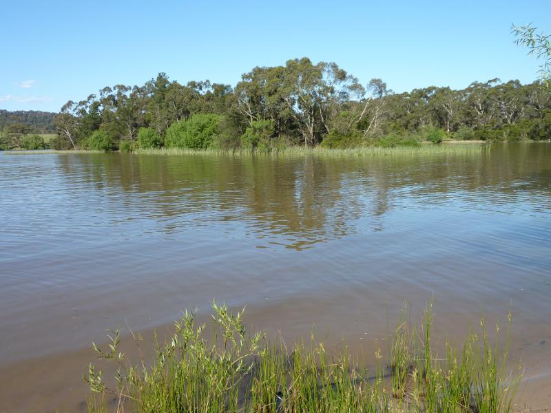
 South side of Lake Narracan along South Shore Road east of Sullivans Rd - View across lake, further eastwards
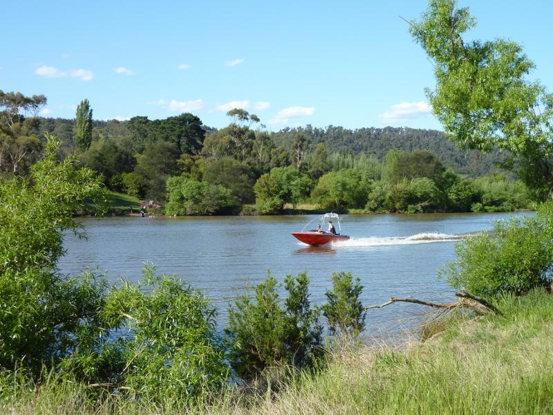 South side of Lake Narracan along South Shore Road east of Sullivans Rd - Boat on lake
 South side of Lake Narracan along South Shore Road east of Sullivans Rd - South Shore Road along lake
 South side of Lake Narracan along South Shore Road east of Sullivans Rd - Easterly view along lake
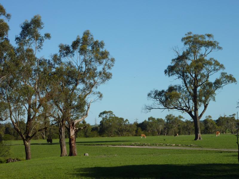
 Moe - Glengarry Road, Yallourn - North-easterly view over pastures, east of Thompsons Rd
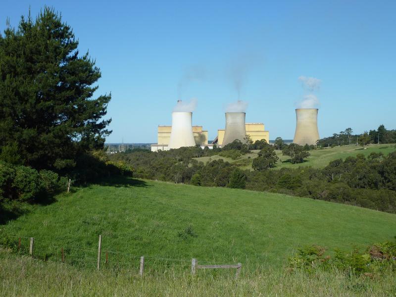 Moe - Glengarry Road, Yallourn - Easterly view towards Yallourn Power Station
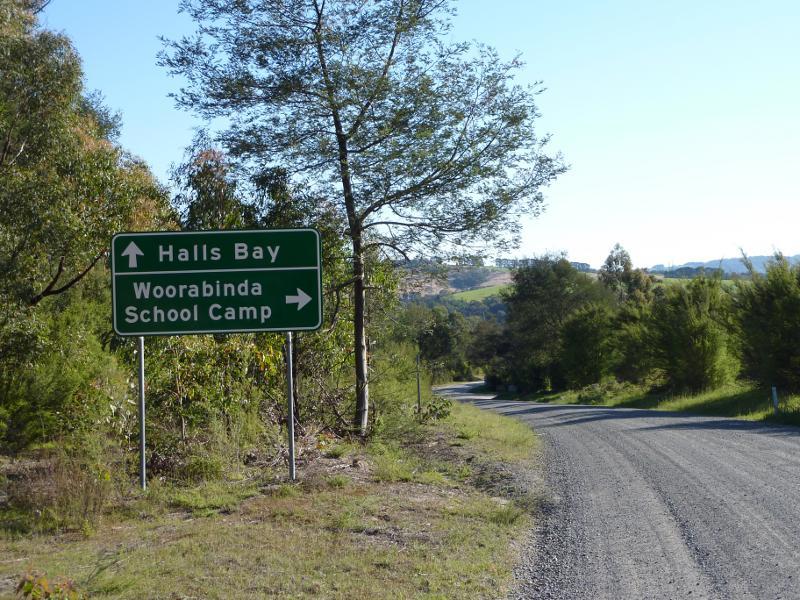 East side of Lake Narracan at Halls Bay, Yallourn North - View south-west along Hall Rd towards North Shore Rd
 East side of Lake Narracan at Halls Bay, Yallourn North - Lake foreshore at ski club
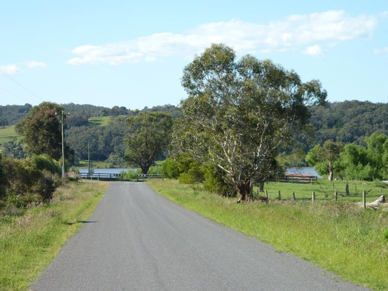
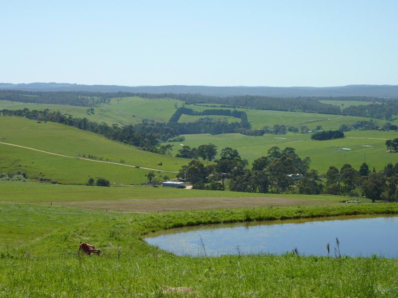
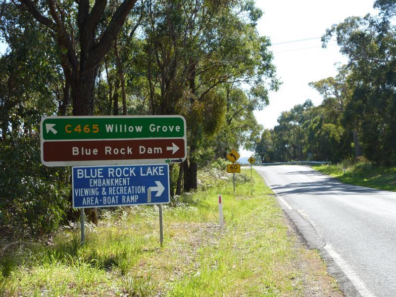
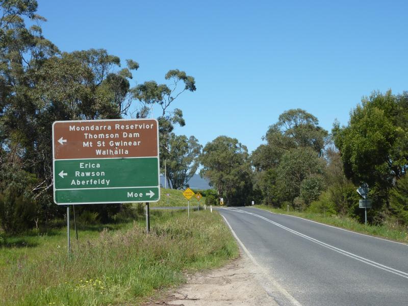 Willow Grove Road north of Moe - View south along Willow Grove Rd towards Walhalla Rd
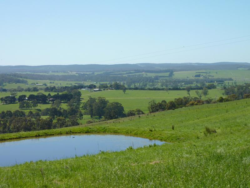
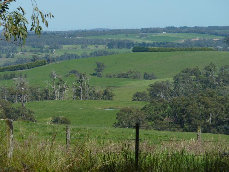
 Willow Grove Road north of Moe - North-easterly view at Laidlaws Rd
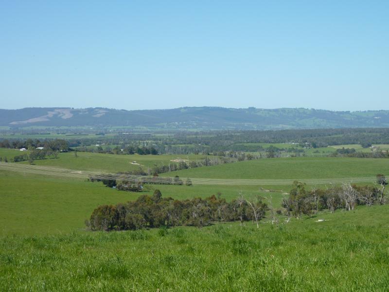
 Willow Grove Road north of Moe - Easterly view at Laidlaws Rd
 Willow Grove Road north of Moe - Easterly view at Laidlaws Rd
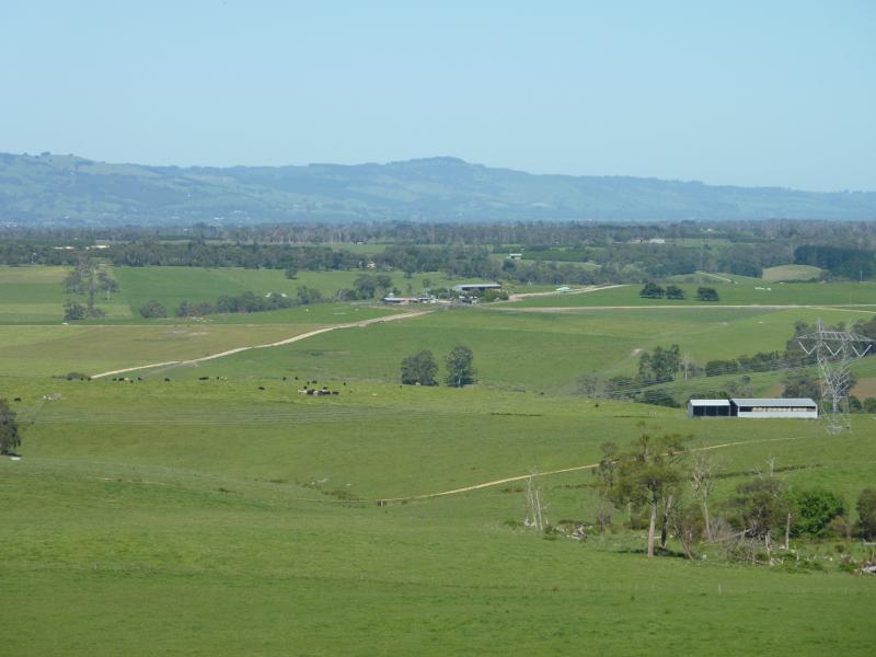
 Willow Grove Road north of Moe - Southerly view near Hoadleys Rd
 Willow Grove Road north of Moe - Southerly view near Hoadleys Rd
 Willow Grove Road north of Moe - View north along Willow Grove Rd towards Spillway Rd
 Willow Grove Road north of Moe - Westerly view near Spillway Rd
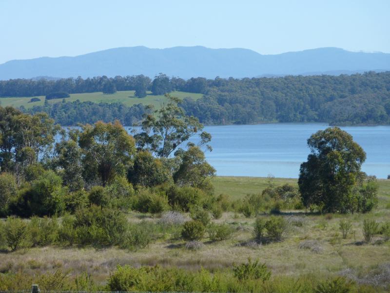 South side of Blue Rock Lake along Spillway Road - Northerly view towards lake
 South side of Blue Rock Lake along Spillway Road - Northerly view towards lake
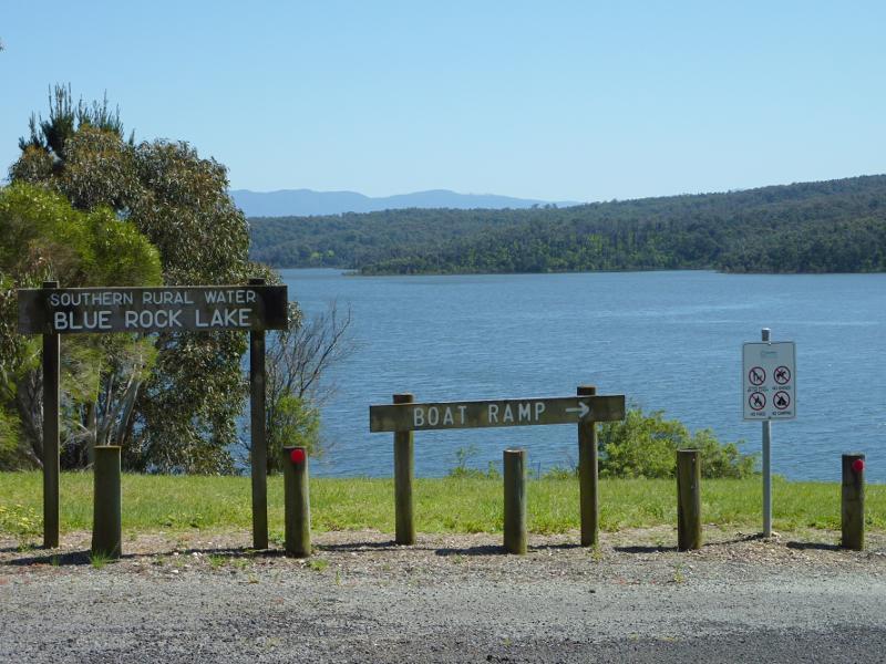
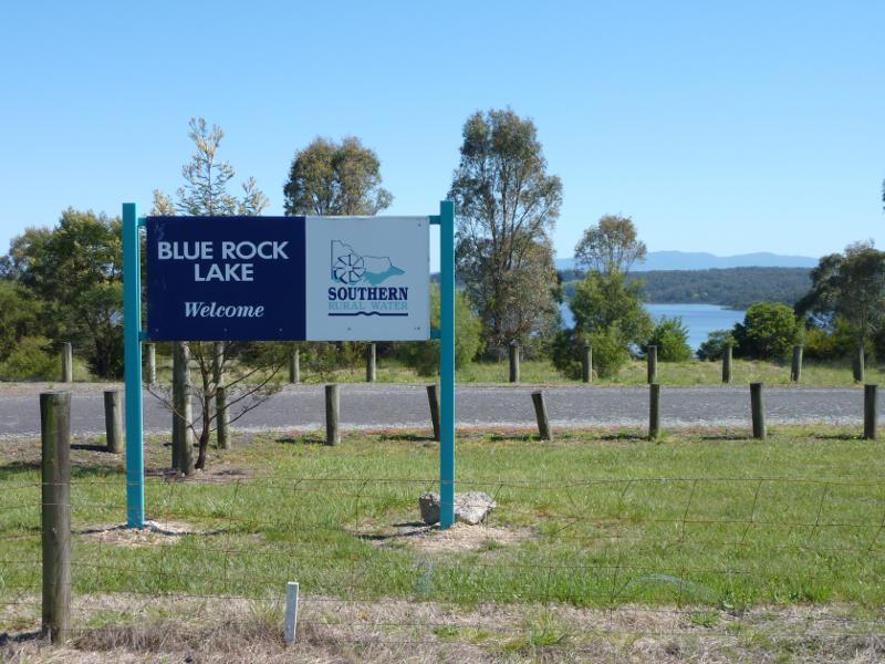 South side of Blue Rock Lake along Spillway Road - Turn-off to lake recreation area
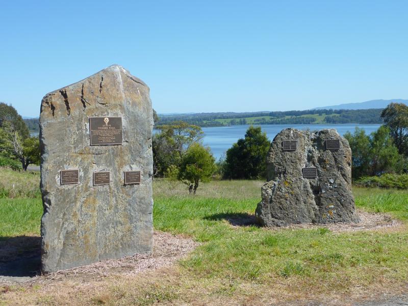 South side of Blue Rock Lake along Spillway Road - Pioneer Wall, Spillway Rd east of recreation area turn-off
 Blue Rock Lake recreation area and boat ramp, off Spillway Road - View towards lake at car park entrance
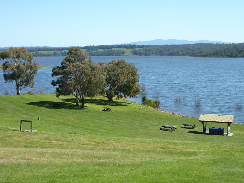
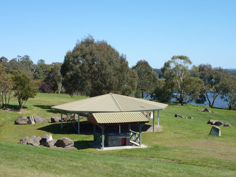 Blue Rock Lake recreation area and boat ramp, off Spillway Road - BBQ and picnic shelters
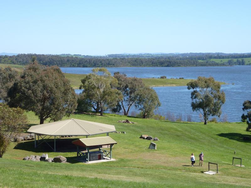 Blue Rock Lake recreation area and boat ramp, off Spillway Road - North-westerly view across lawns towards shelters
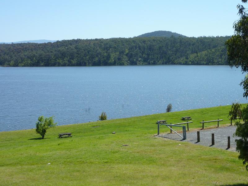
 Blue Rock Lake recreation area and boat ramp, off Spillway Road - Lawns at lake foreshore
 Blue Rock Lake recreation area and boat ramp, off Spillway Road - Northerly view across lake
 Blue Rock Lake recreation area and boat ramp, off Spillway Road - North-westerly view towards embankment
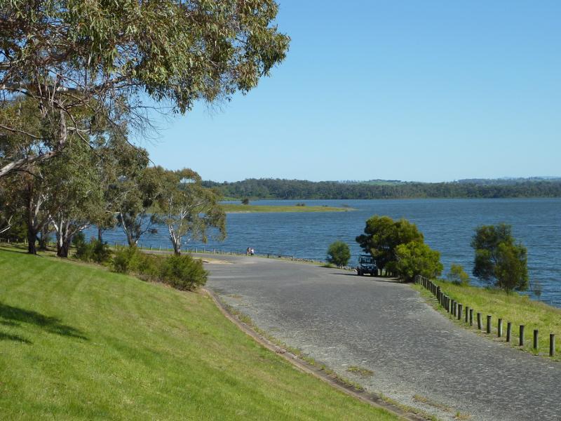
 Blue Rock Lake recreation area and boat ramp, off Spillway Road - View west along lake foreshore near boat ramp
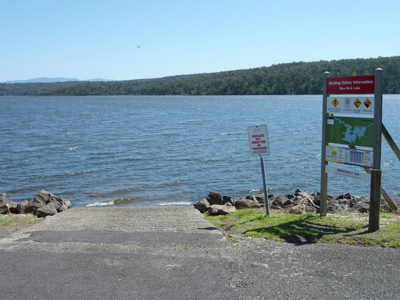 Blue Rock Lake recreation area and boat ramp, off Spillway Road - Boat ramp
 Blue Rock Lake recreation area and boat ramp, off Spillway Road - View along lake towards boat ramp
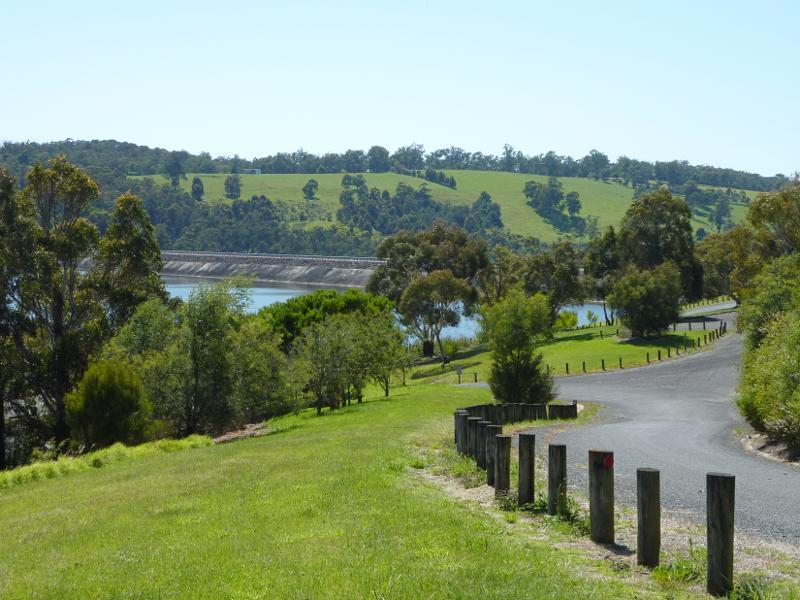
 Blue Rock Lake embankment and spillway - View north-west along Spillway Rd towards embankment
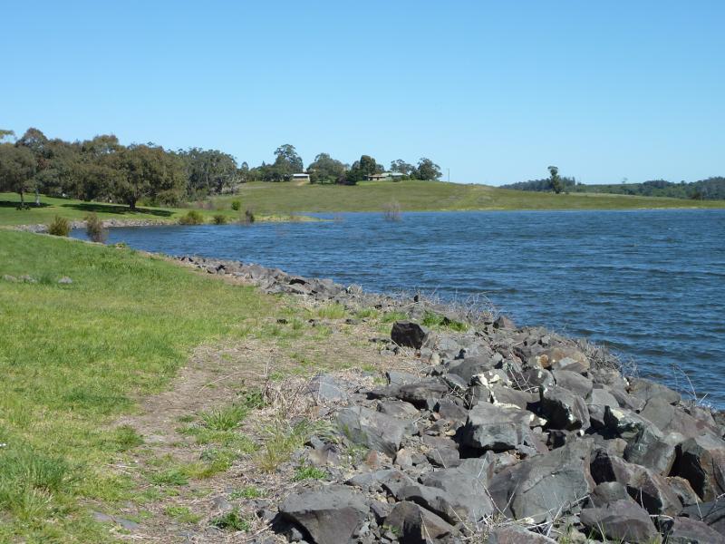
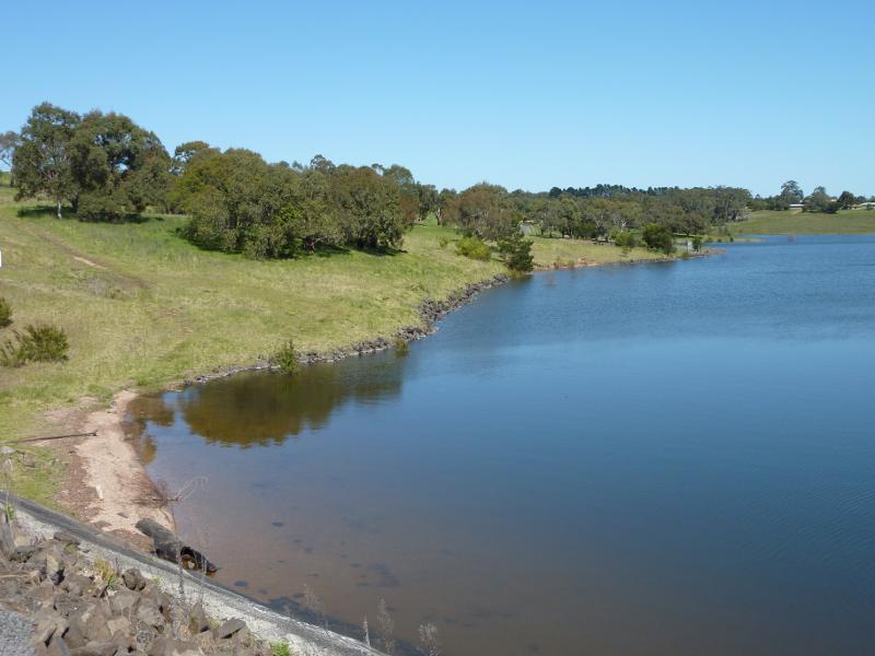 Blue Rock Lake embankment and spillway - View west along lake foreshore at southern end of embankment
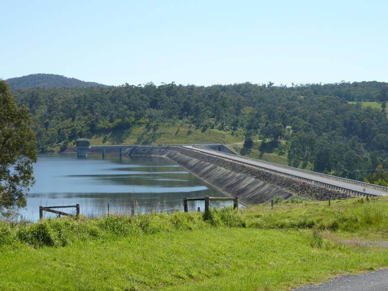
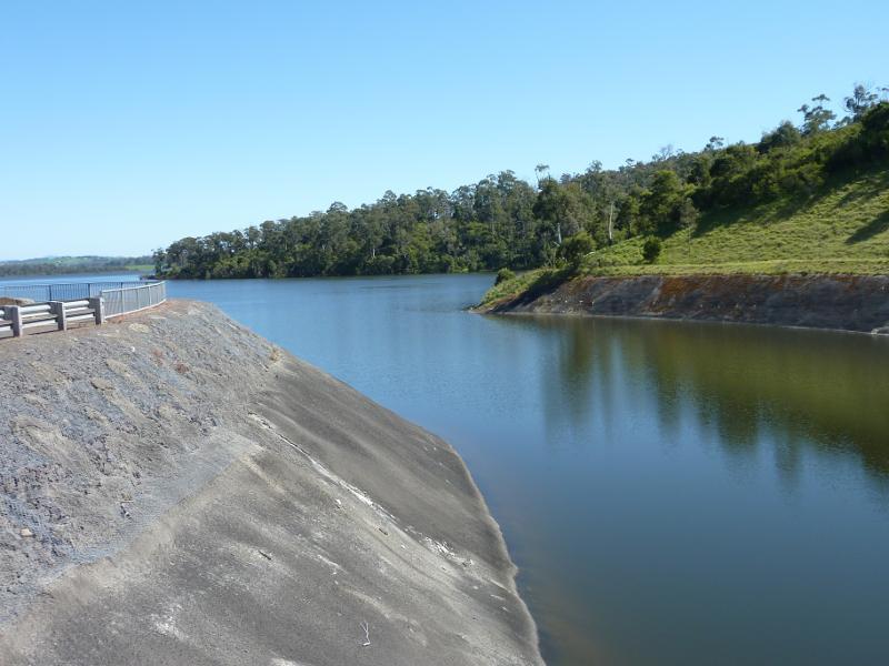
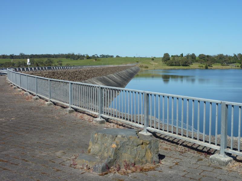 Blue Rock Lake embankment and spillway - View south-west along embankment
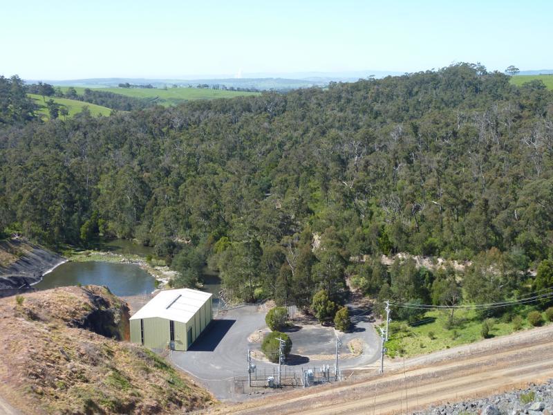
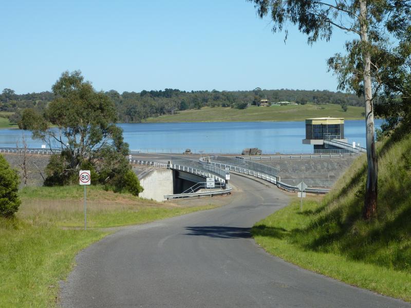
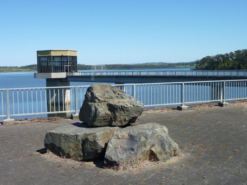 Blue Rock Lake embankment and spillway - Control tower at northern end of embankment
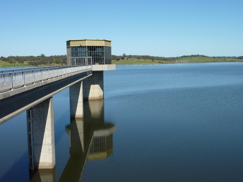
 Blue Rock Lake embankment and spillway - View along embankment towards control tower
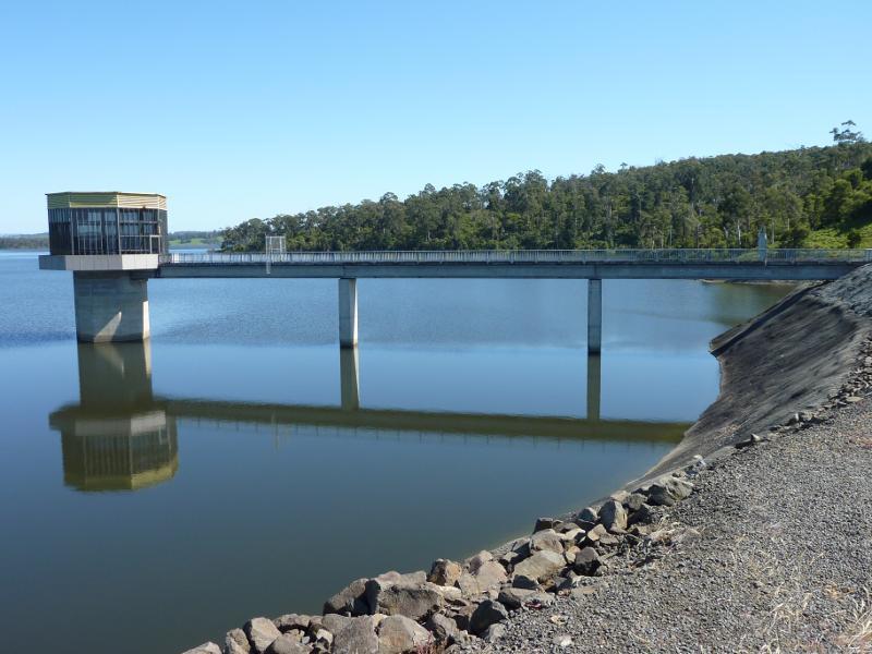
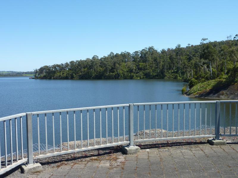
 Blue Rock Lake embankment and spillway - View south-west across lake at control tower
 Blue Rock Lake embankment and spillway - North-westerly view at northern end of embankment
 Blue Rock Lake embankment and spillway - View along channel to spillway towards lake
 Blue Rock Lake embankment and spillway - View along channel towards spillway
 Blue Rock Lake embankment and spillway - View south-east from embankment towards lake at base of spillway
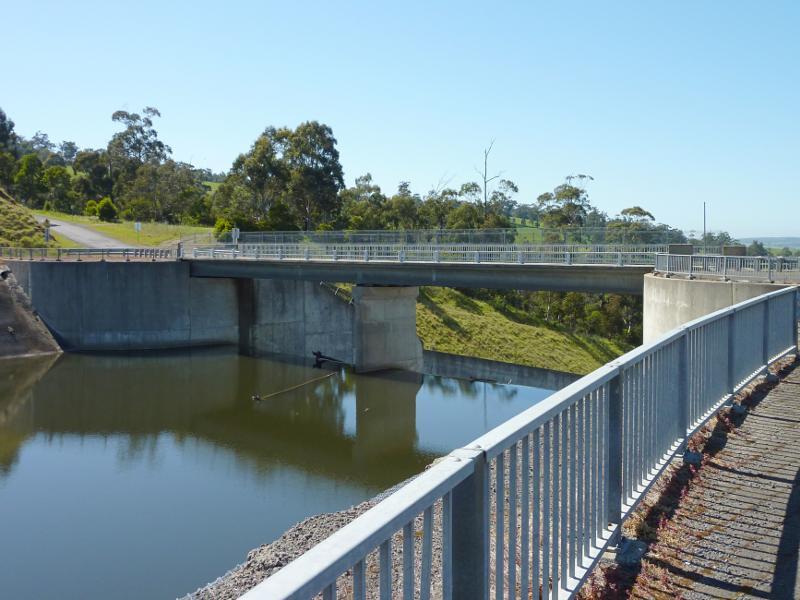
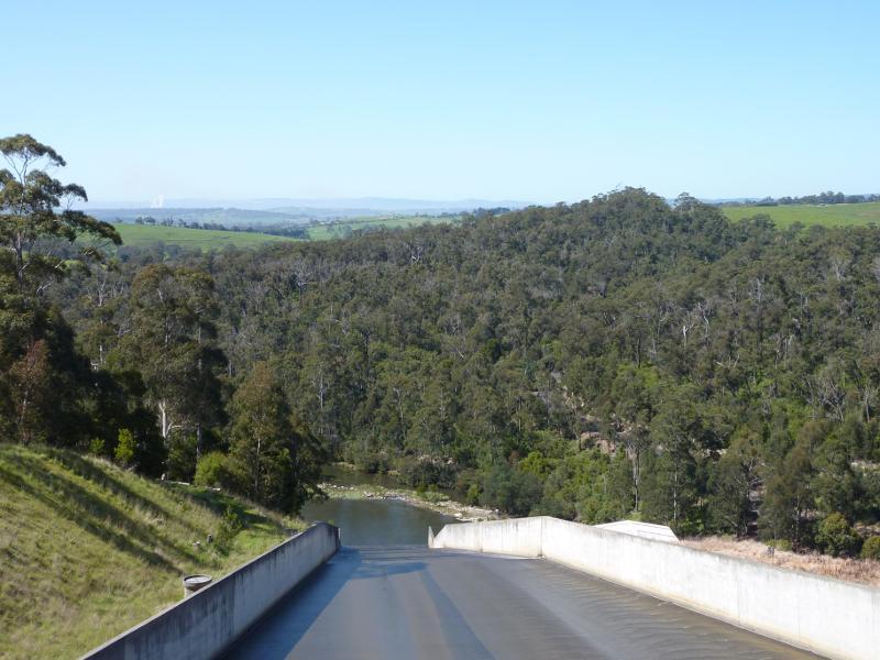 Blue Rock Lake embankment and spillway - View down spillway from bridge at Spillway Rd
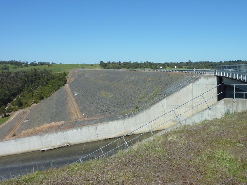 Blue Rock Lake embankment and spillway - View south-west across spillway and along embankment
 Blue Rock Lake embankment and spillway - View south-west along Spillway Rd towards spillway and embankment