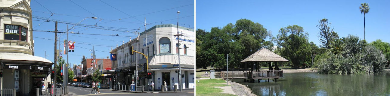
Moonee Ponds - photos
Moonee Ponds
Stay
See and do
Food and drink
Shopping
Getting around
Visitor information
View west along Puckle St at Mt Alexander Rd
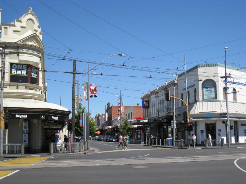
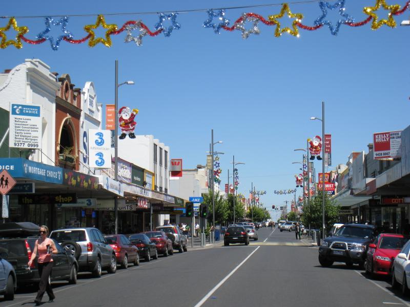
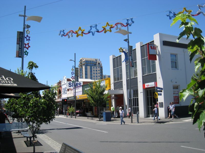
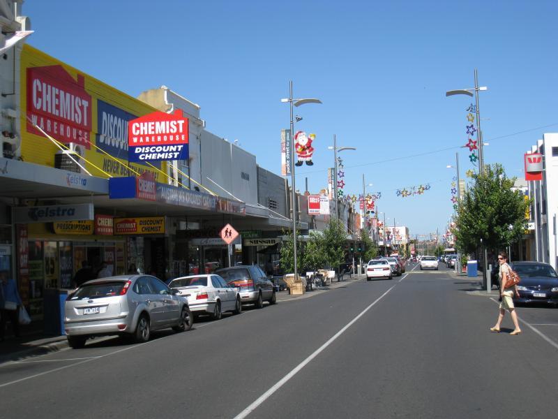
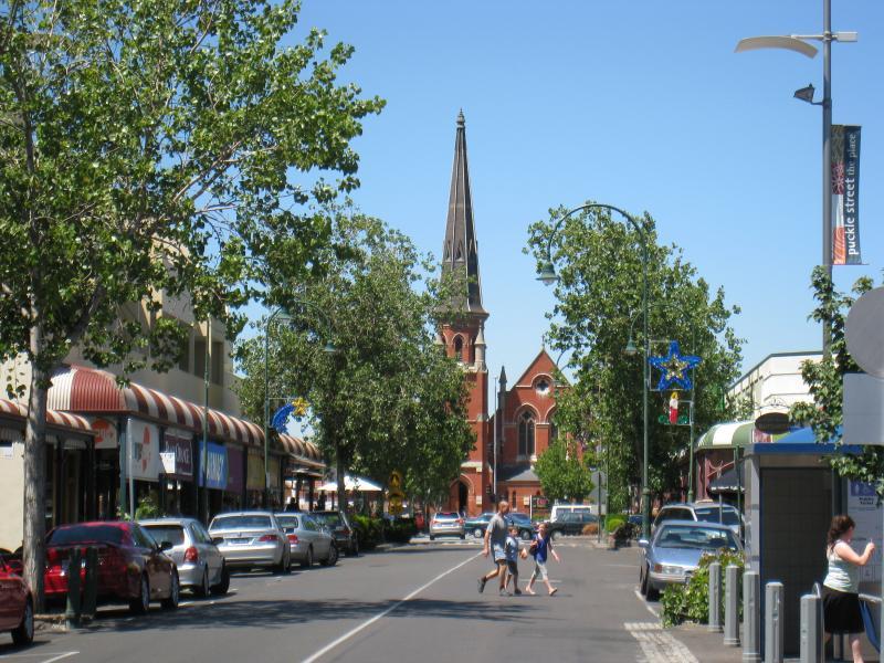
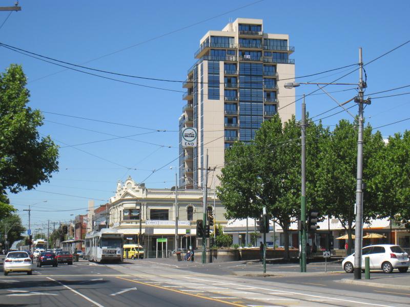
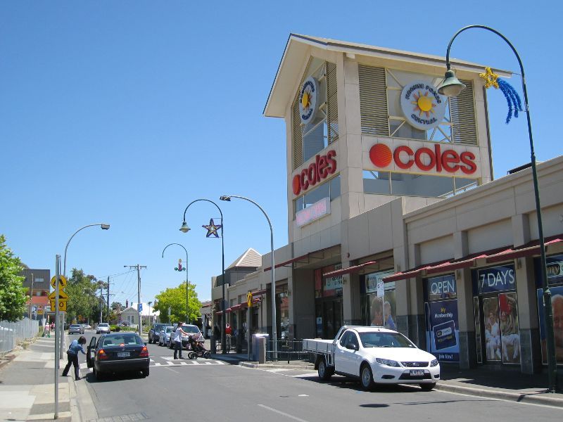
Start of Puckle St shopping strip at Mt Alexander Rd
View east along Puckle St towards Mt Alexander Rd
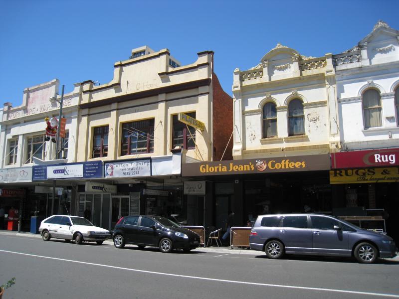
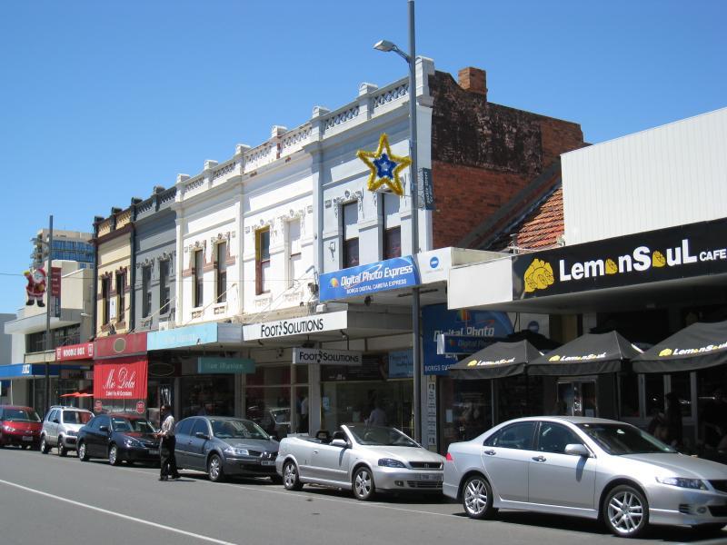
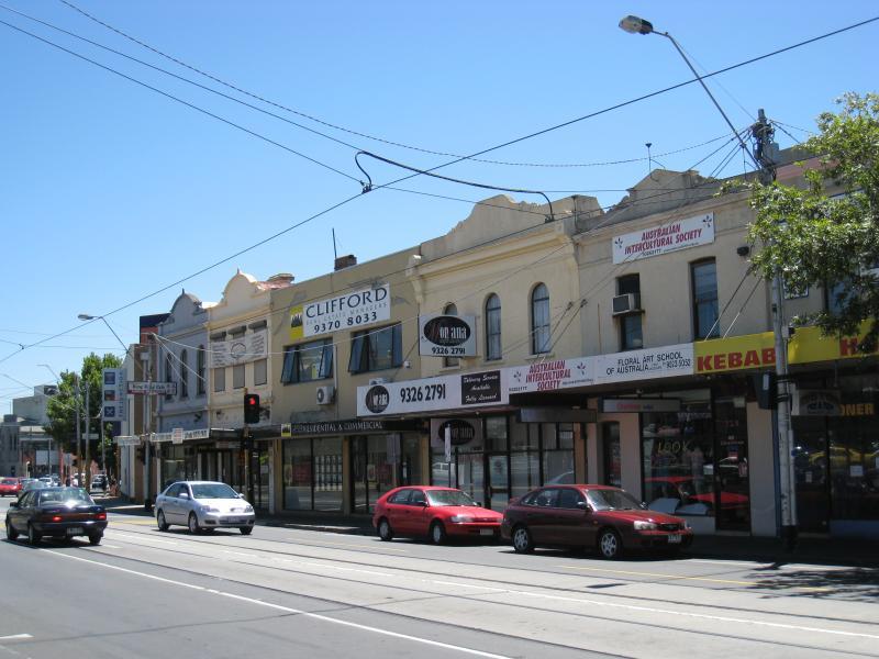
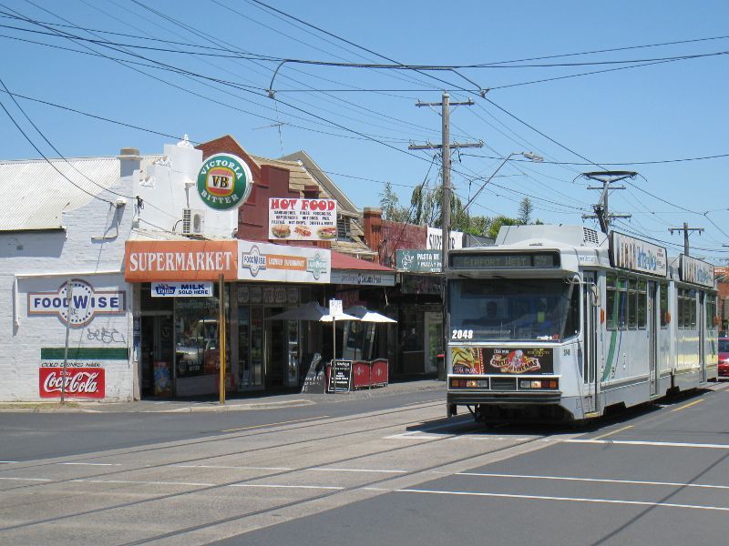
Shops along southern side of Puckle St
View west along Puckle St between Mt Alexander Rd and Pratt St

View east along Puckle St between Mt Alexander Rd and Pratt St
View west along Puckle St between Mt Alexander Rd and Pratt St
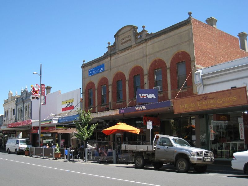
View west along Puckle St towards Pratt St
View east along Puckle St near Pratt St
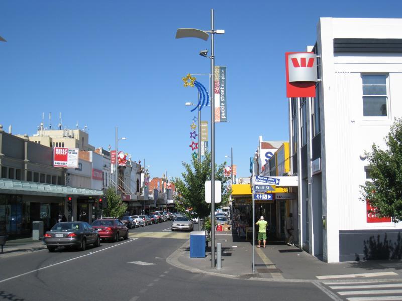
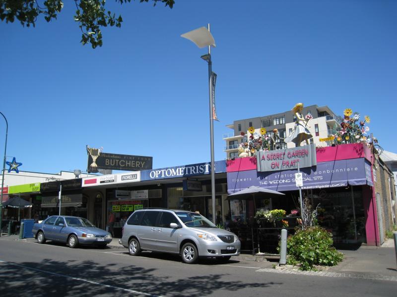
View east along Puckle St at Pratt St
View east along Puckle St towards Pratt St
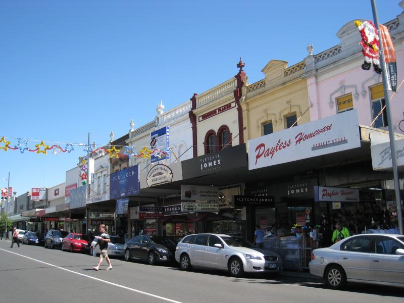
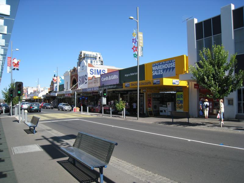
View east along Puckle St towards Pratt St
View east along Puckle St towards Pratt St
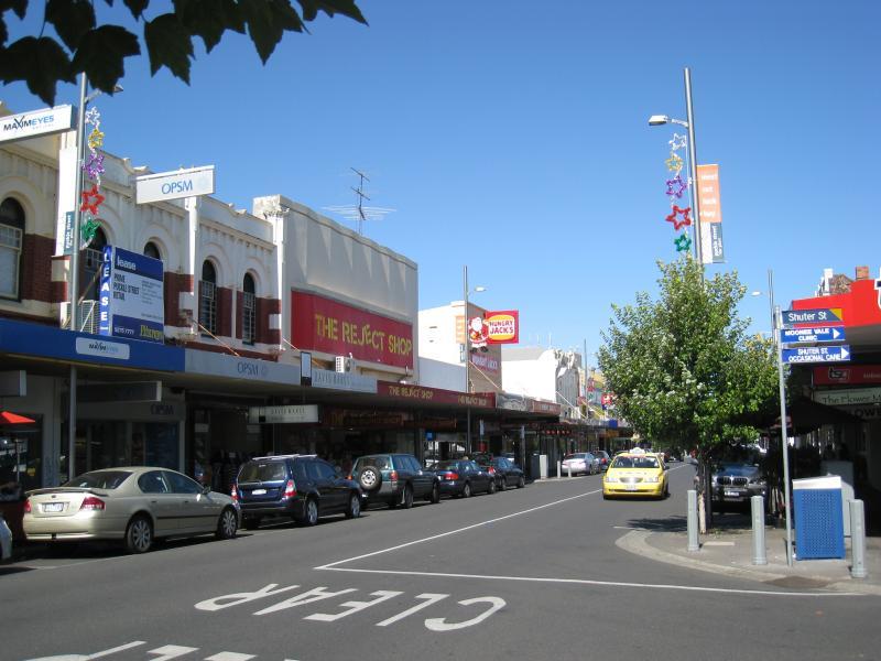
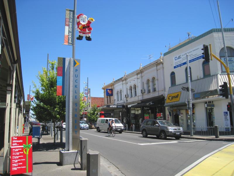
View east along Puckle St at Shuter St
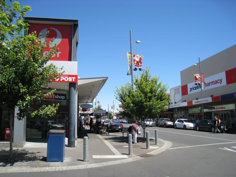
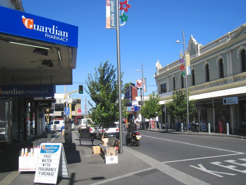
Post office, view west along Puckle St at Shuter St
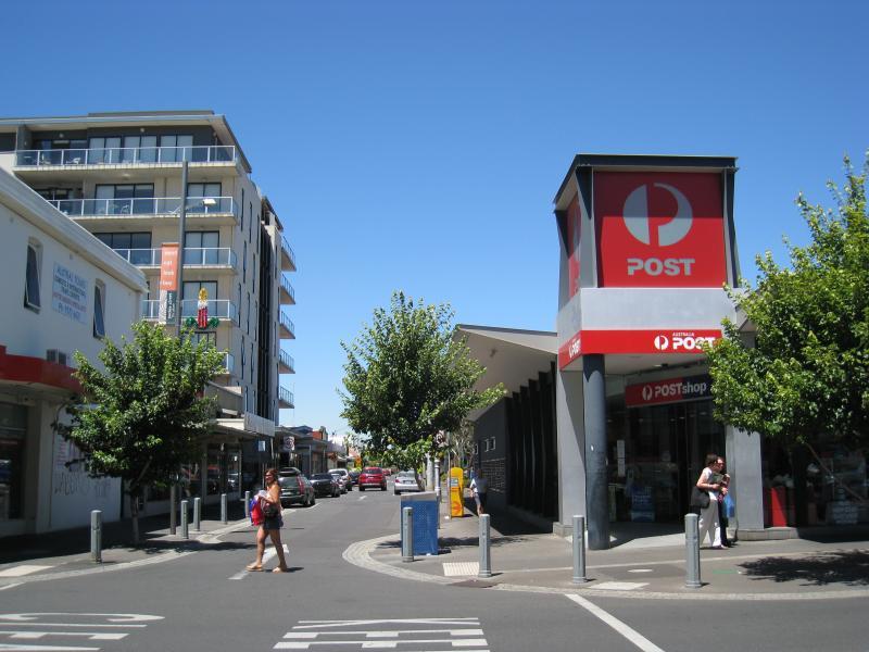
Post office, view south along Shuter St at Puckle St
View west along Puckle St towards Margaret St
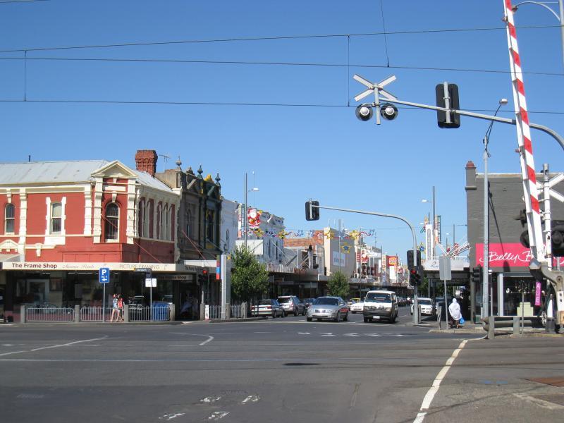
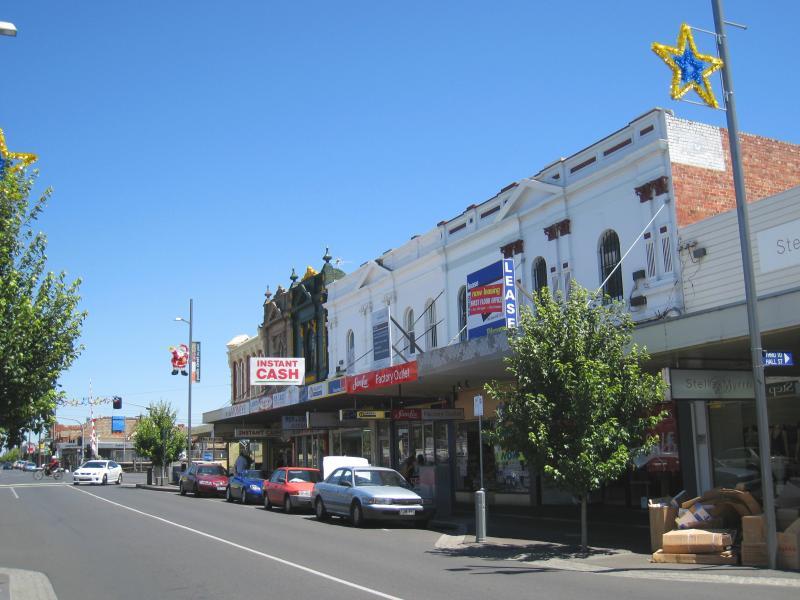
View east along Puckle St at railway crossing

View north along Margaret St at Puckle St

View west along Holmes Rd at Norwood Cr
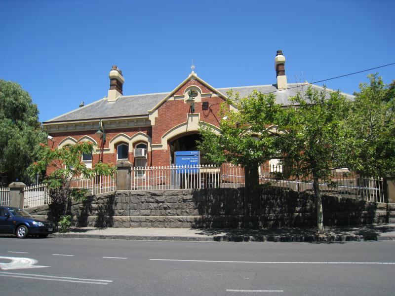
Entrance to Moonee Ponds railway station, Margaret St
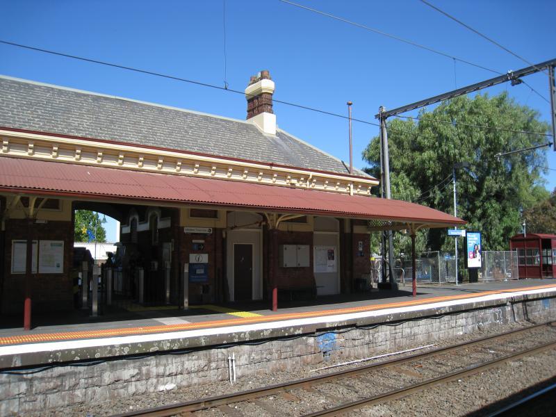
Platform at Moonee Ponds railway station
Shops along western side of Pratt St near Puckle St
View south along Pratt St between Puckle St and Young St

View south along Pratt St towards Young St and supermarket
View south-east along Mt Alexander Rd between Dean St and Davies St
View north-west along Mt Alexander Rd towards Ascot Vale Rd
View north-west along Mt Alexander Rd towards Dean St
View east along Dean St at Mt Alexander Rd
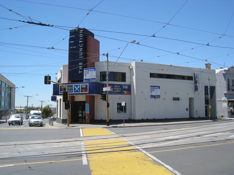
Corner of Ascot Vale Rd, Mt Alexander Rd and Puckle St

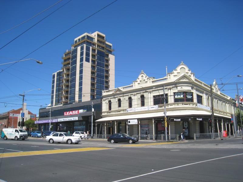
View north-west along Mt Alexander Rd towards Puckle St
View east across Mt Alexander Rd just north of Puckle St
View south along Pascoe Vale Rd towards Mt Alexander Rd
View west across Mt Alexander towards Hall St
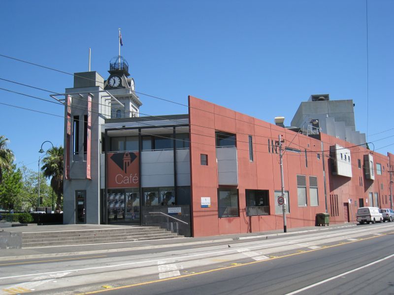
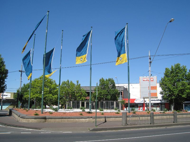
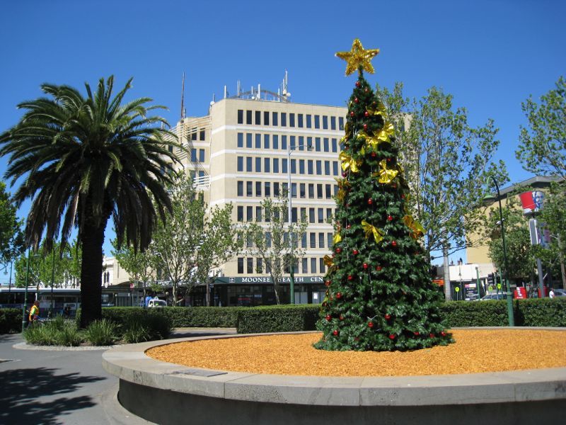
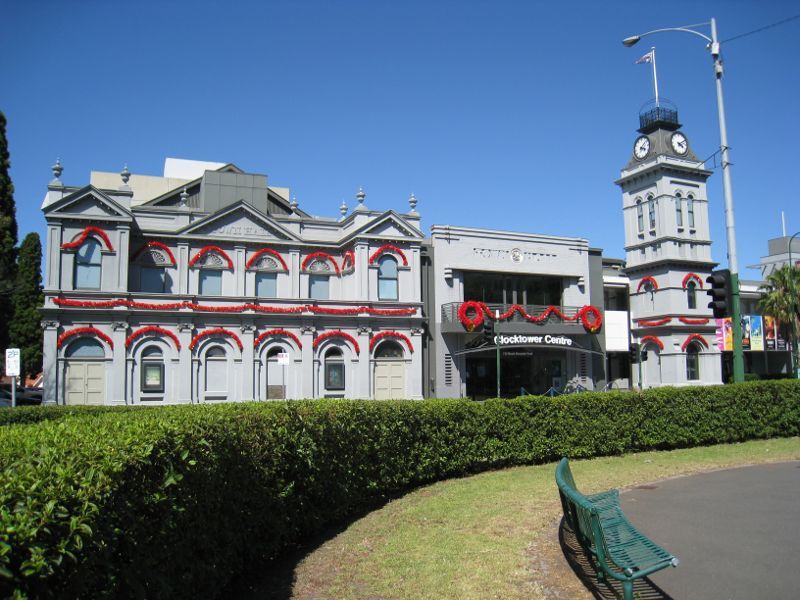
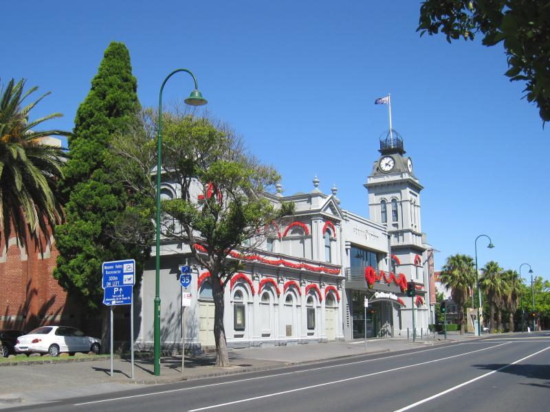
Clocktower Centre, view north at Mt Alexander Rd and Pascoe Vale Rd junction
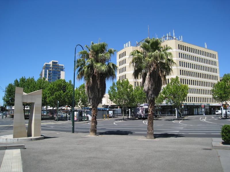
Clocktower Centre, view north-west along Mt Alexander Rd at Pascoe Vale Rd
View towards Hall St from gardens in centre of Mt Alexander Rd opposite Clocktower Centre
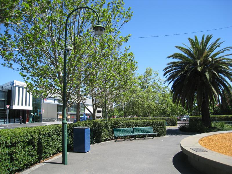
View north-west along Mt Alexander Rd from gardens in centre opposite Clocktower Centre
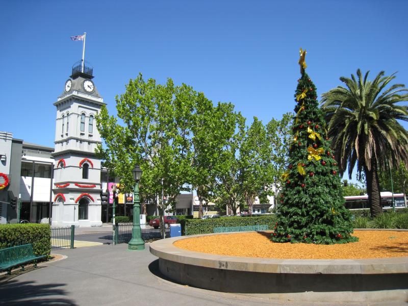
View east from gardens in centre of Mt Alexander Rd towards Clocktower Centre
View across gardens in centre of Mt Alexander Rd towards Clocktower Centre
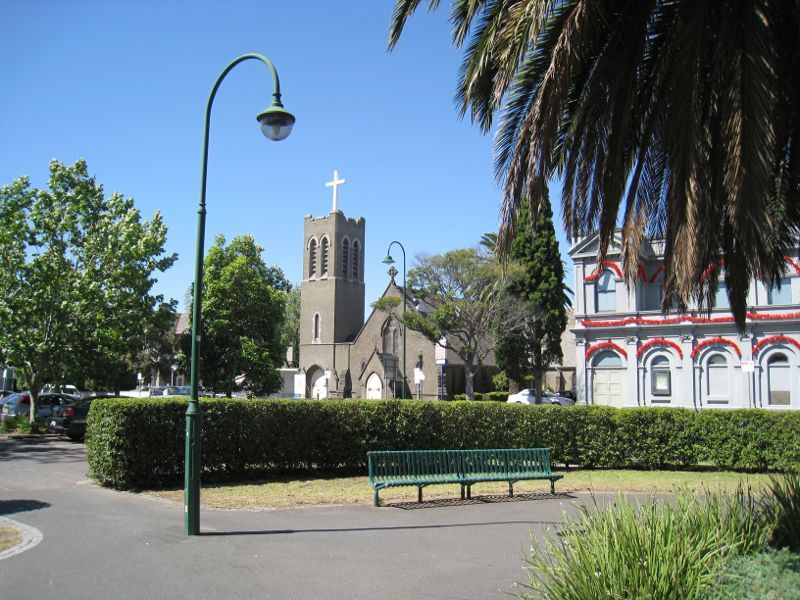
View north from gardens in centre of Mt Alexander Rd towards St Thomas Anglican Church
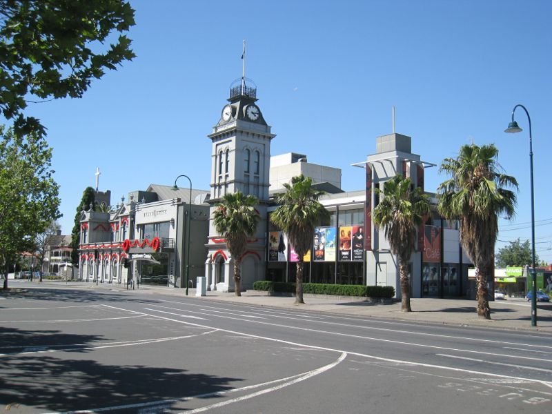
View south-east along Mt Alexander Rd towards Clocktower Centre

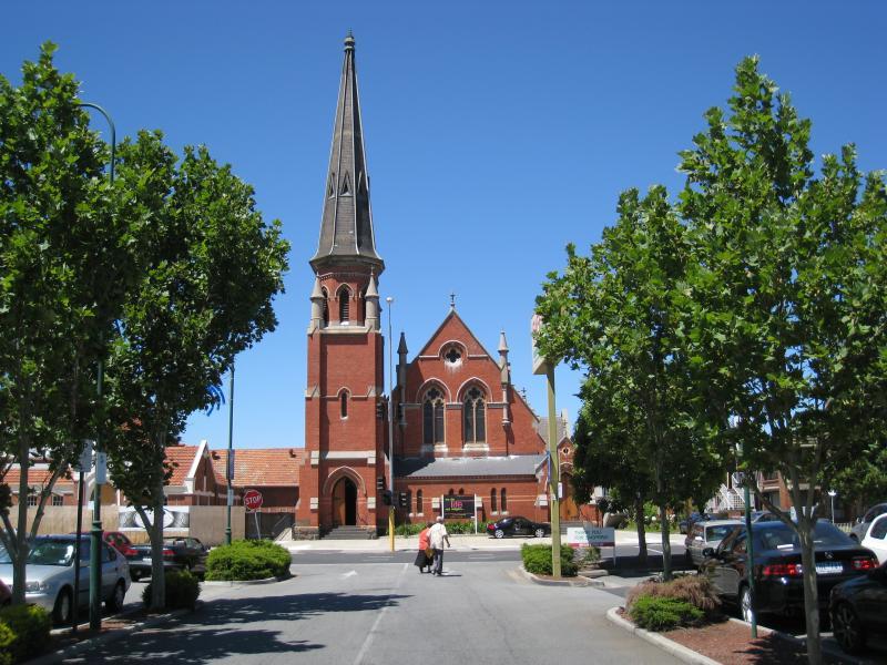
St Thomas Anglican Church, east side of Mt Alexander Rd

Court house and museum, corner Mt Alexander Rd and Kellaway Av
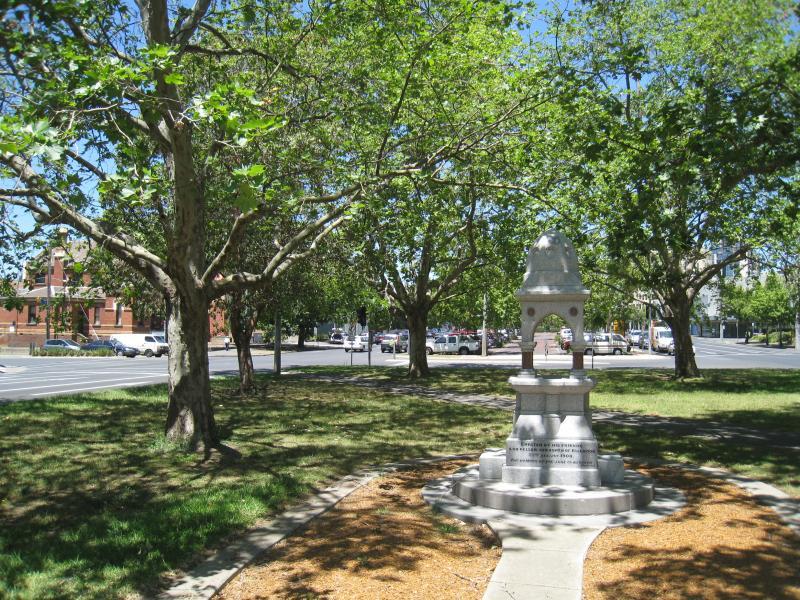
Memorial, view south-east along gardens in centre of Mt Alexander Rd towards Kellaway Av

View west towards Taylor St from centre of Mt Alexander Rd
View south-east through gardens in centre of Mt Alexander Rd towards Taylor St
Entrance to Moonee Ponds Central Shopping Centre, Homer St
View south along Pascoe Vale Rd at Salisbury St
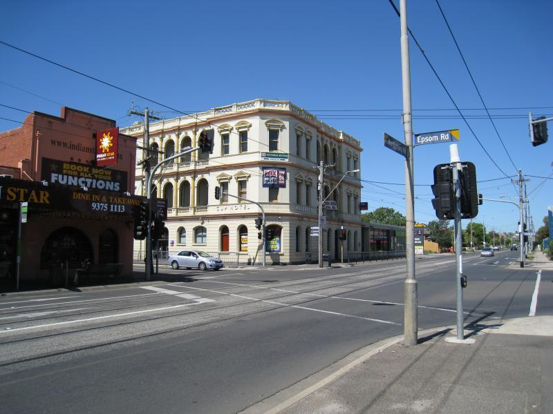
View east along Maribyrnong Rd towards Epsom Rd

View east along Maribyrnong Rd towards Orford St
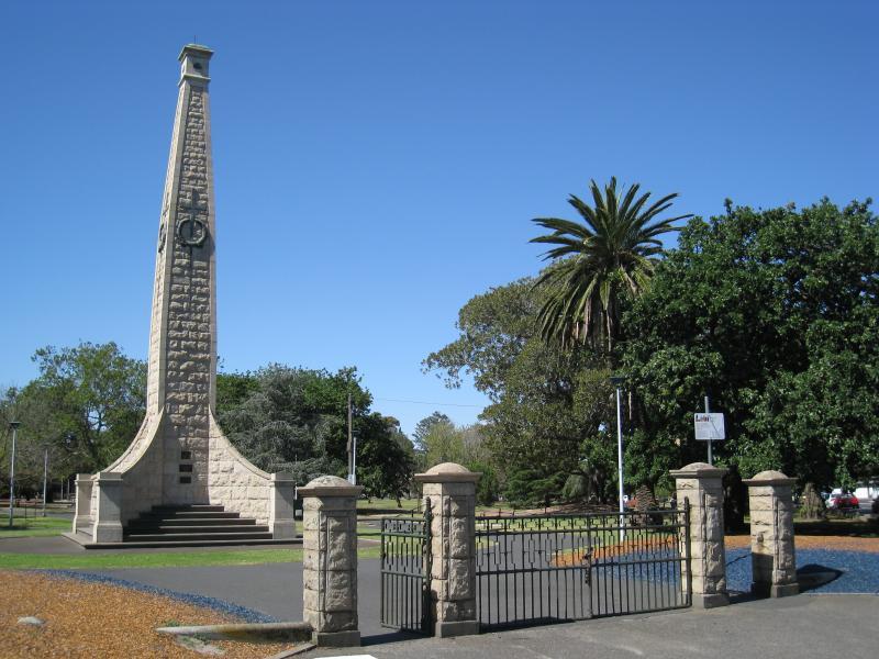
Gates and war monument, viewed from corner of Mt Alexander Rd and Kellaway Av

View south-west towards monument at corner of Mt Alexander Rd and Kellaway Av
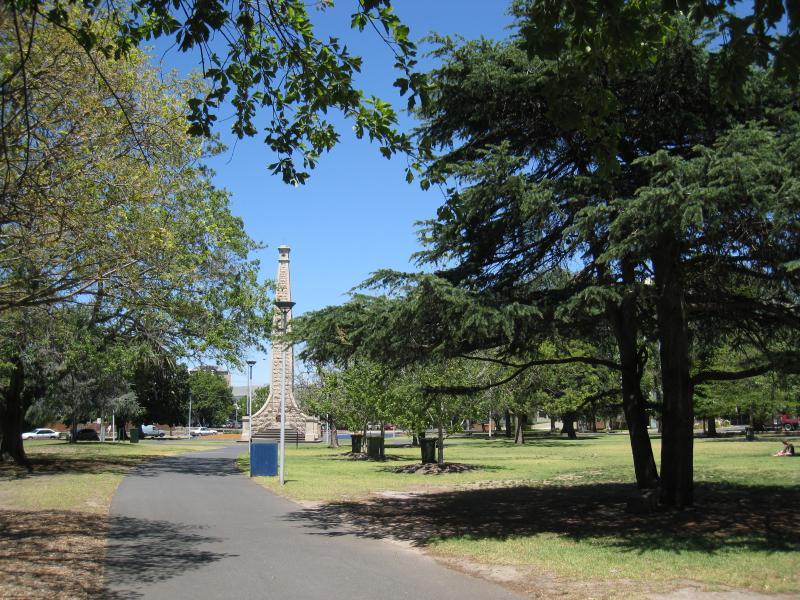
Pathway south through park towards monument at corner of Mt Alexander Rd and Kellaway Av
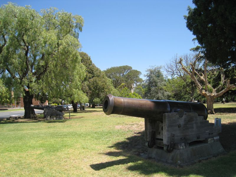
Cannons at corner of Pascoe Vale Rd and Kellaway Av

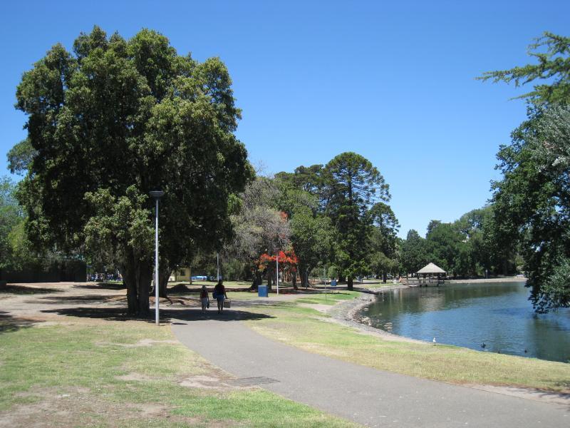
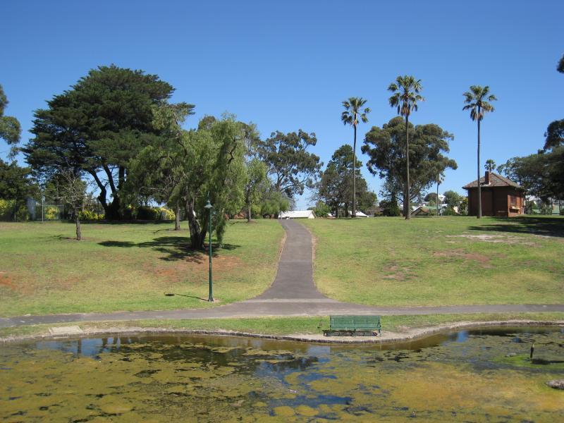
View north along shaded pathway, south of lake

Lawns south of lake
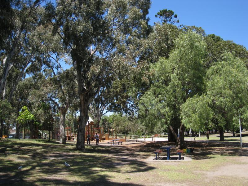
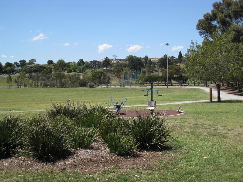
Playground and lawns on east side of lake

Southern end of lake
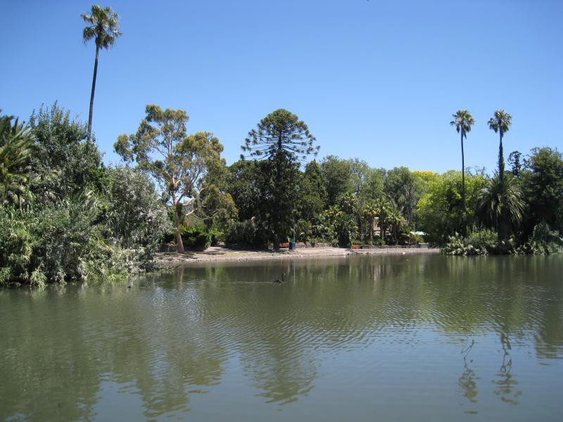
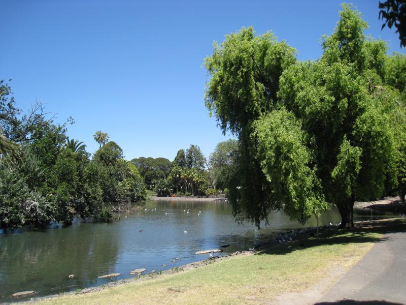
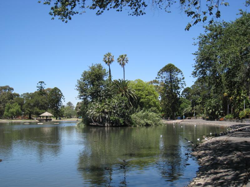
North-west view across lake
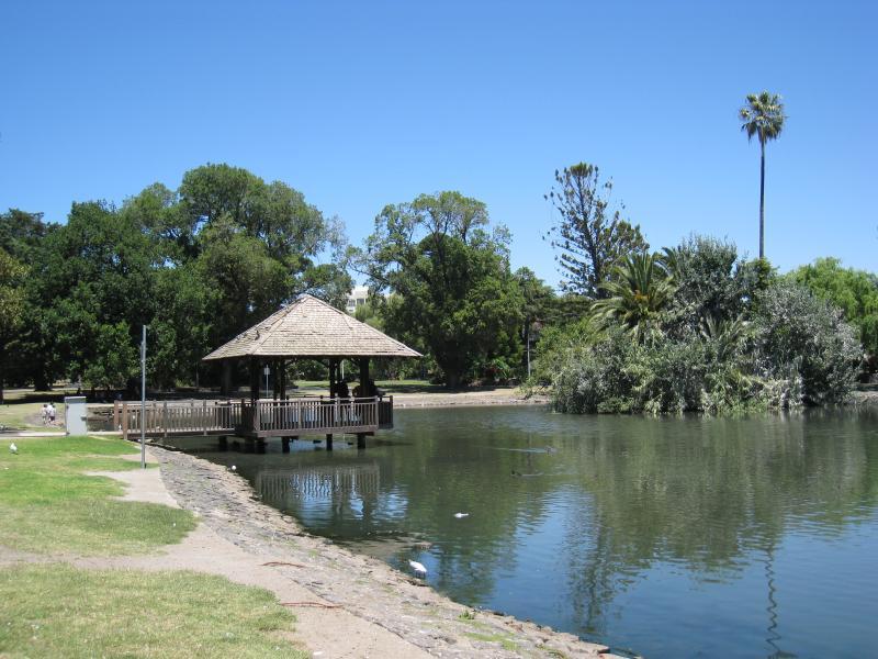
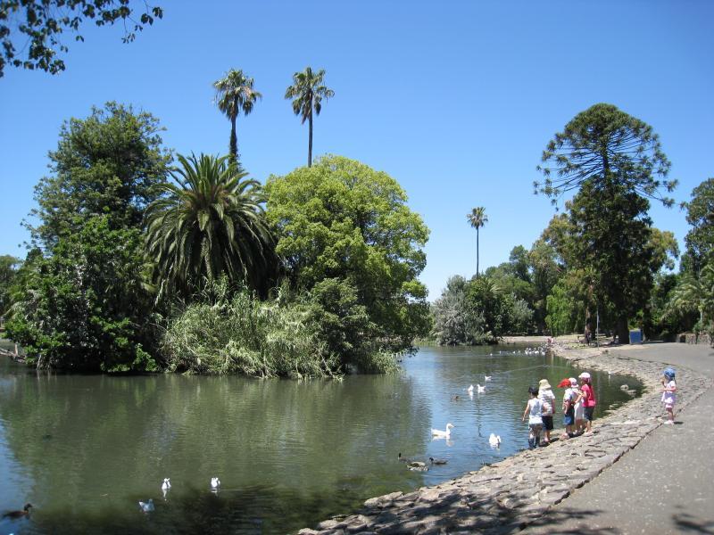
View south along east side of lake towards shelter
View south along east side of lake
View east along The Stand at northern end of lake
View west along northern side of lake
View south along west side of lake
View south along west side of lake
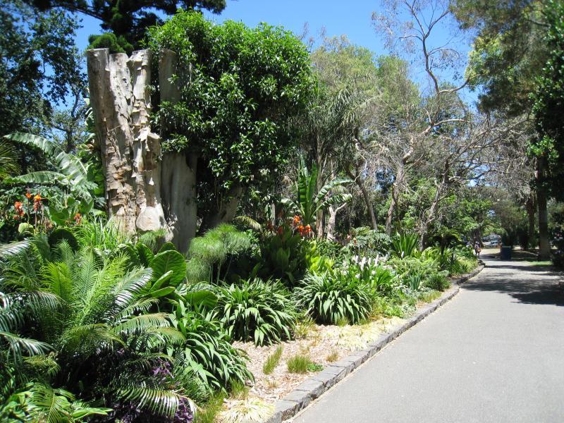
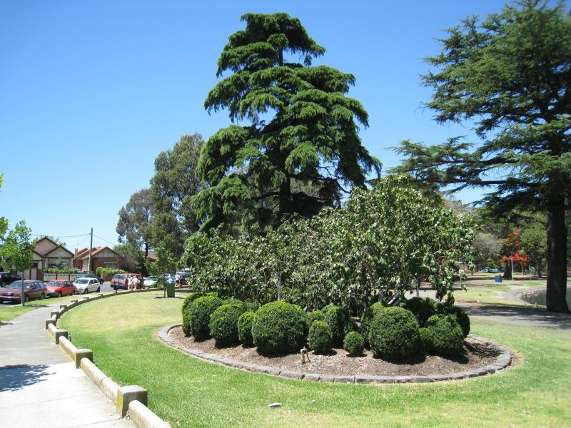
Pathway through gardens near north-west corner of lake

Sandy garden with camels near corner of Mt Alexander Rd and The Strand
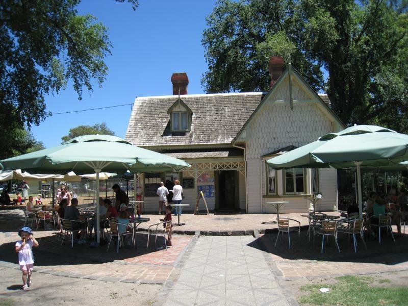
Cafe
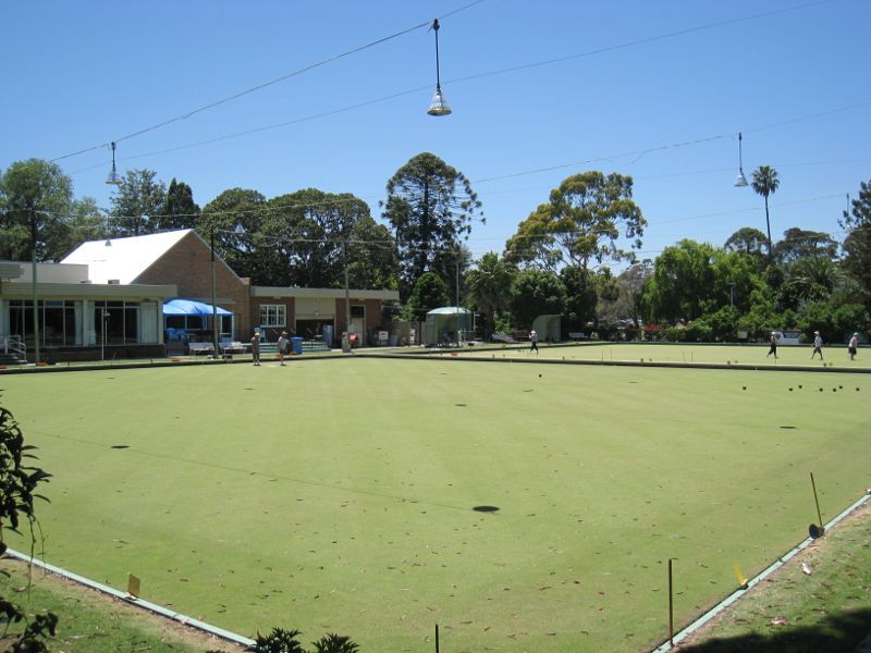
Moonee Ponds bowling club
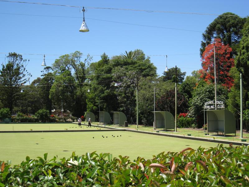
Moonee Ponds bowling club
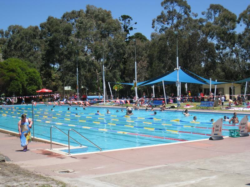
Swimming pool
Pedestrian entry, McPherson St opposite Alexandra Av
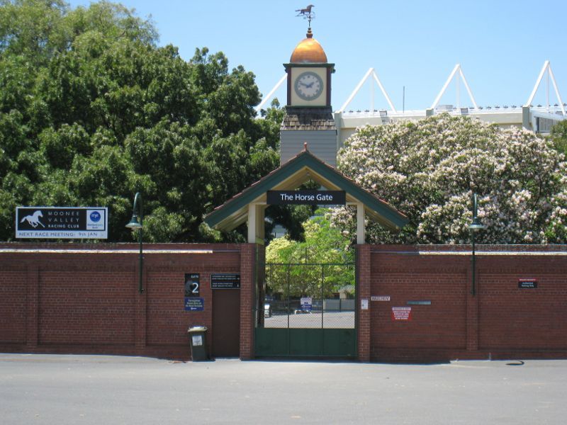
Gate 2 (The Horse Gate), corner McPherson St and Dean St
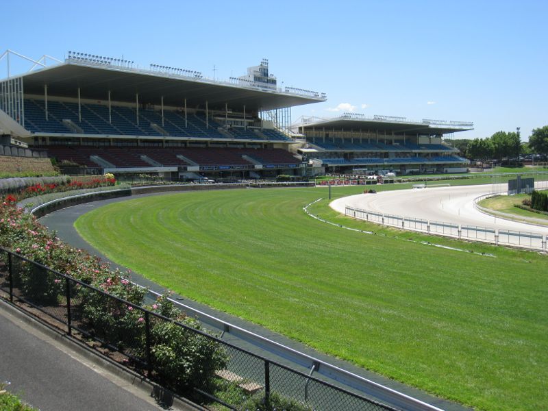
View north-west along track towards grandstand
View west along Dean St along racecourse boundary towards grandstand
View south-west across racecourse from Wilson St
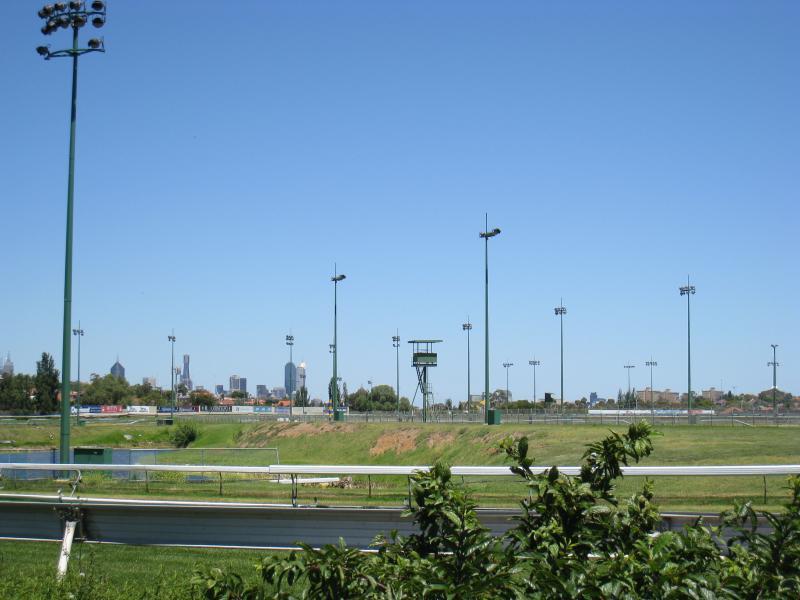
View south across track from Wilson St

Moonee Valley Legends bistro, corner Wilson St and Thomas St
Moonee Valley Christian Church, Gladstone St opposite Pratt St
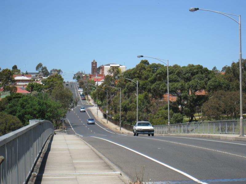
View east along Wilson St into Brunswick West from freeway overpass
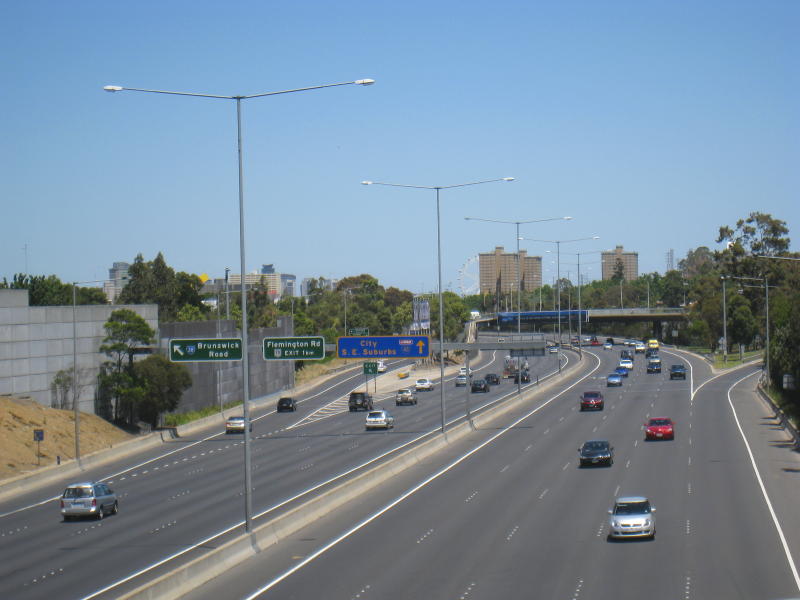
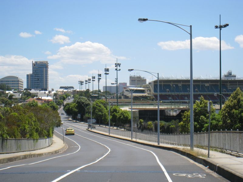
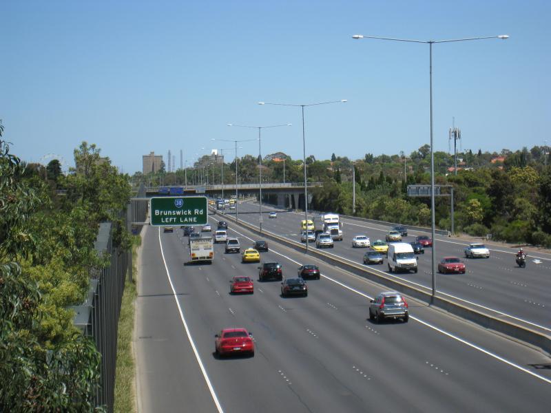
View south along freeway from Dean St overpass towards Brunswick Rd exit
View south along freeway from Wilson St overpass
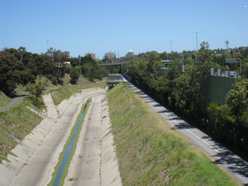
View south along Moonee Ponds Creek and trail along eastern side of freeway from Wilson St overpass
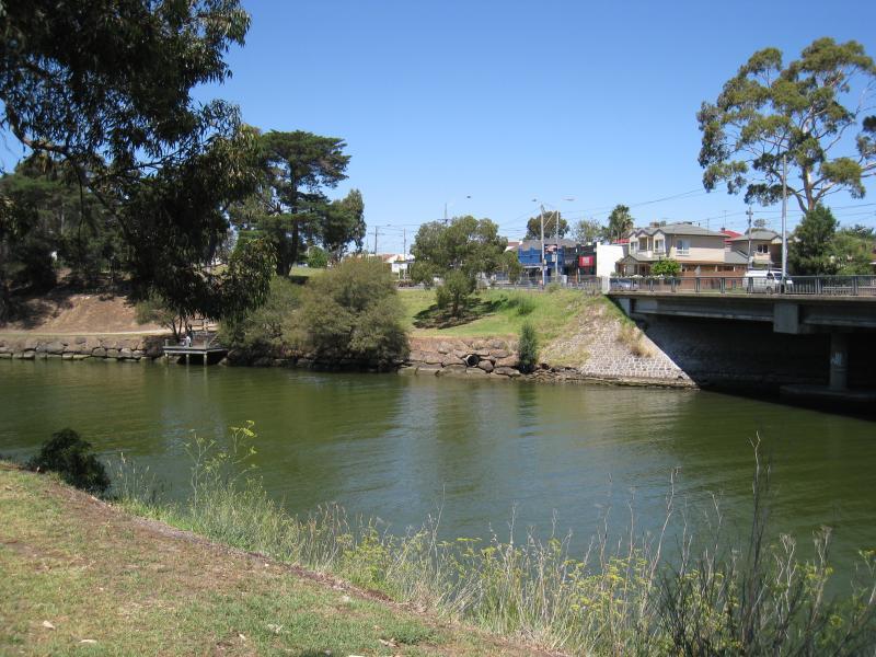
View east across river on north side of bridge
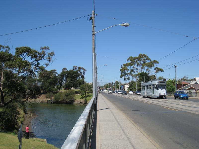
View east along bridge
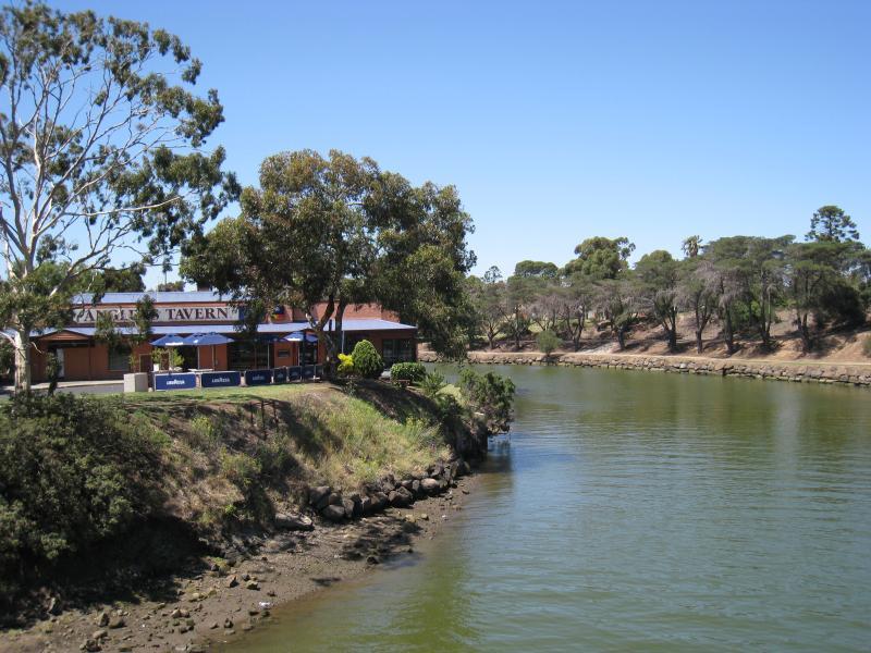
View north-east along river towards Anglers Tavern
View north-east along river
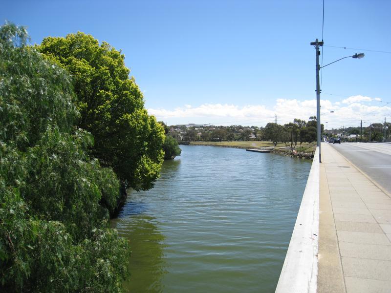
View west along bridge
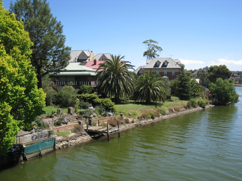
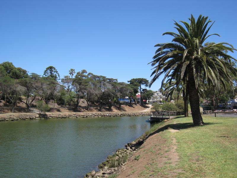
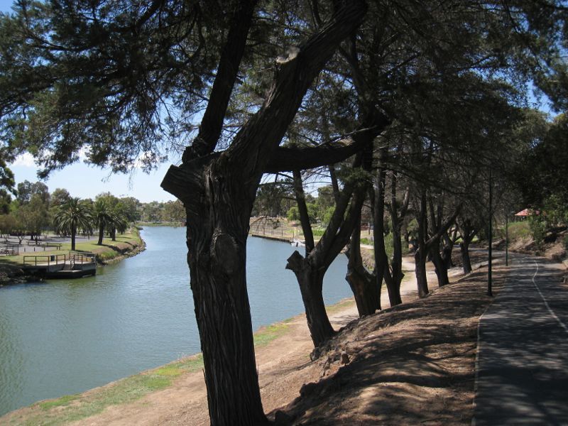
View south along eastern bank of river

View south-west along river

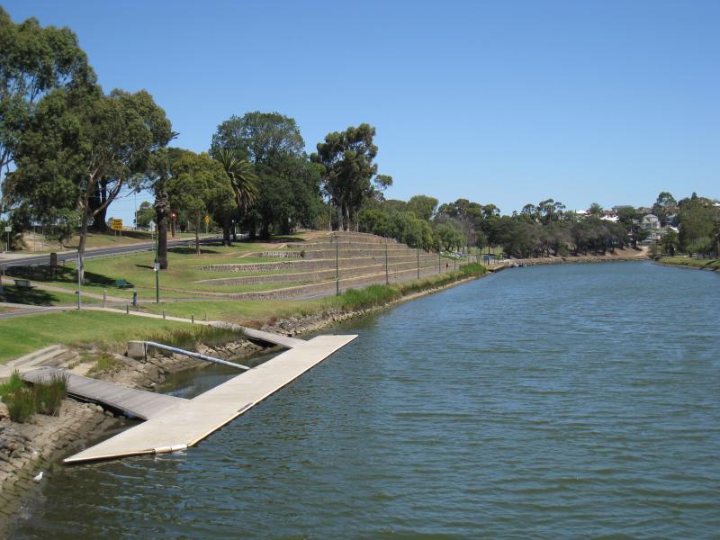
View south-west along river at jetty
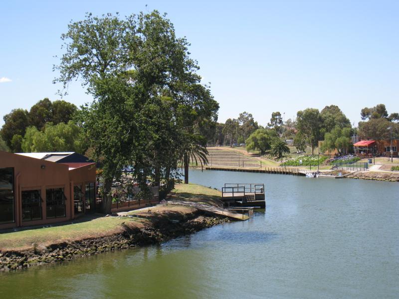
View south along river towards Anglers Tavern
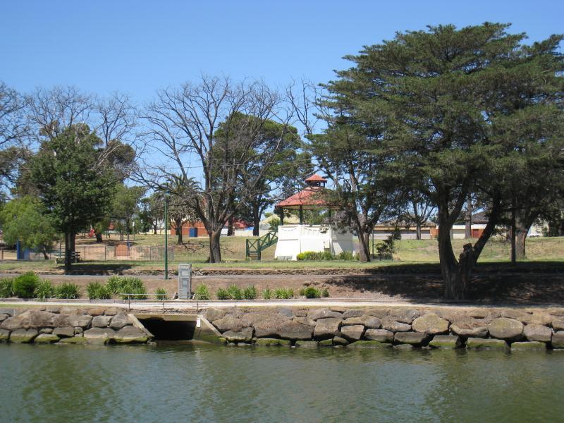
View east across river to rotunda
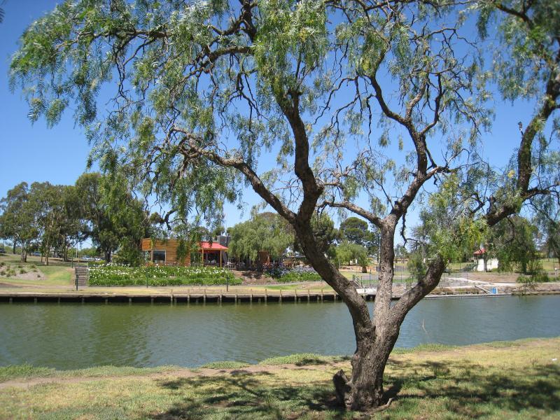
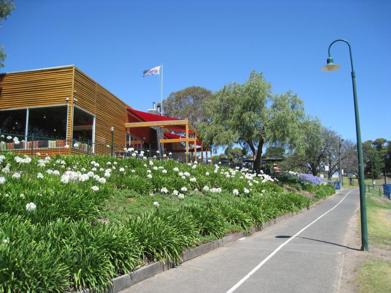
View east across river towards Boathouse Cafe
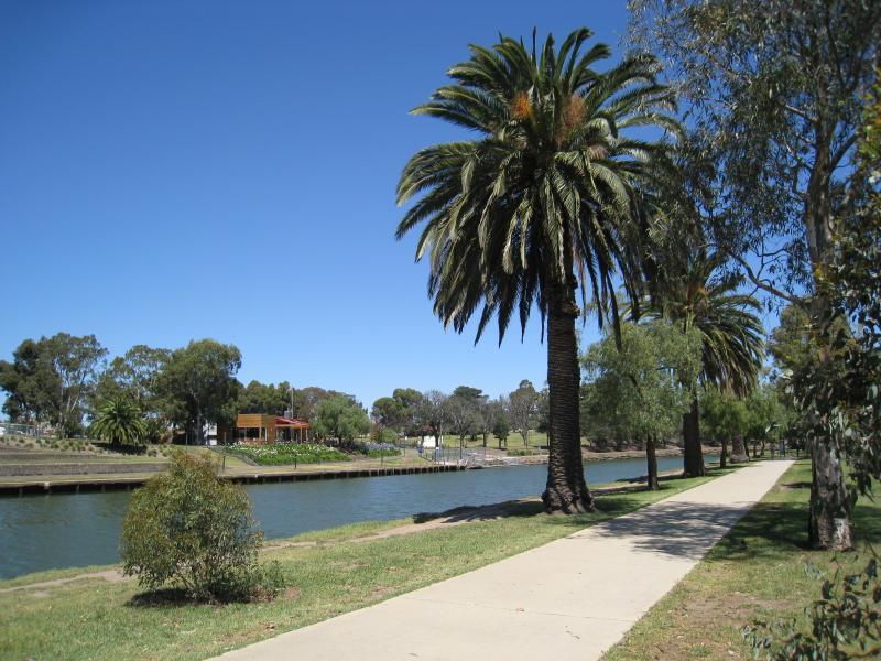
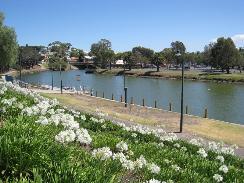
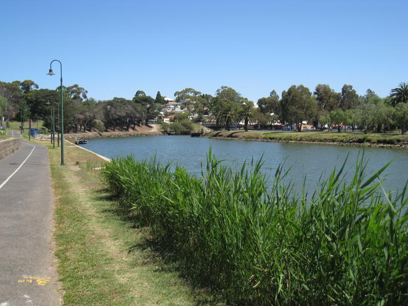
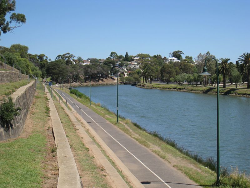
View south along river along pathway beside Chifley Dr
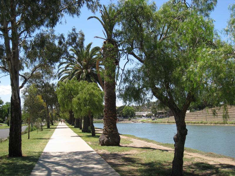
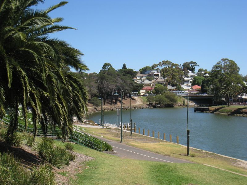
View north along river along pathway beside Chifley Dr
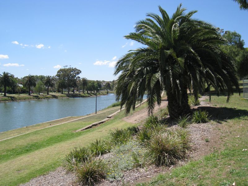
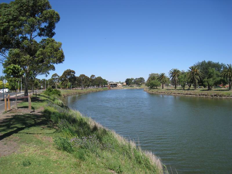
View north along river from near Maribyrnong Rd
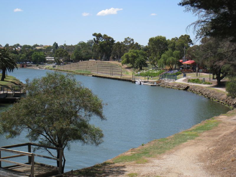
View north-east along river from near Maribyrnong Rd
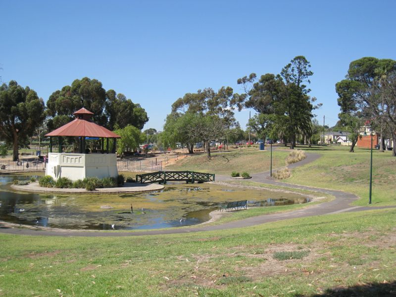
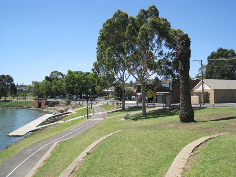
View north through park towards rotunda
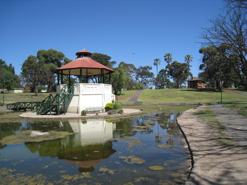
Rotunda
View south through park from rotunda
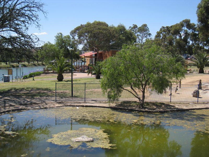
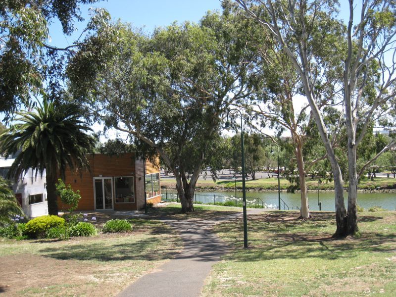
View north through park towards Boathouse Cafe from rotunda

View south along river from jetty at Boathouse Cafe
View north along river and path at Boathouse Cafe
View south along path at Boathouse Cafe
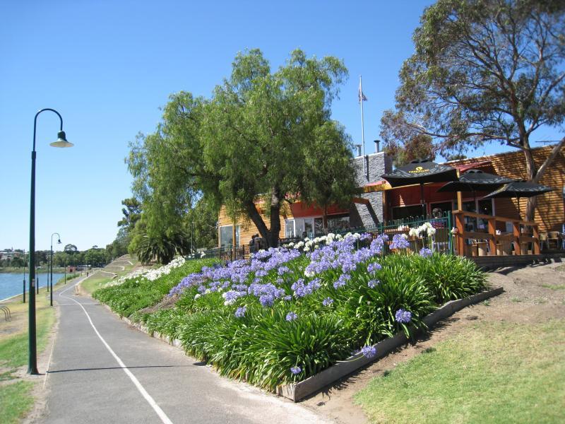
View south-west along river from Boathouse Cafe
View west across parkland towards Boathouse Cafe and river
View south-west along river, north of Boathouse Cafe
View north along river, north of Boathouse Cafe
View south along path beside river
View south along river from steps along river bank
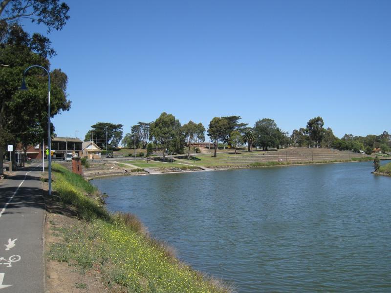
View north along river towards Essendon Rowing Club at Holmes Rd
View south along river from The Boulevard at Holmes Rd
View south-east along river and The Boulevard towards Holmes Rd
View east along river from The Boulevard east of Vida St
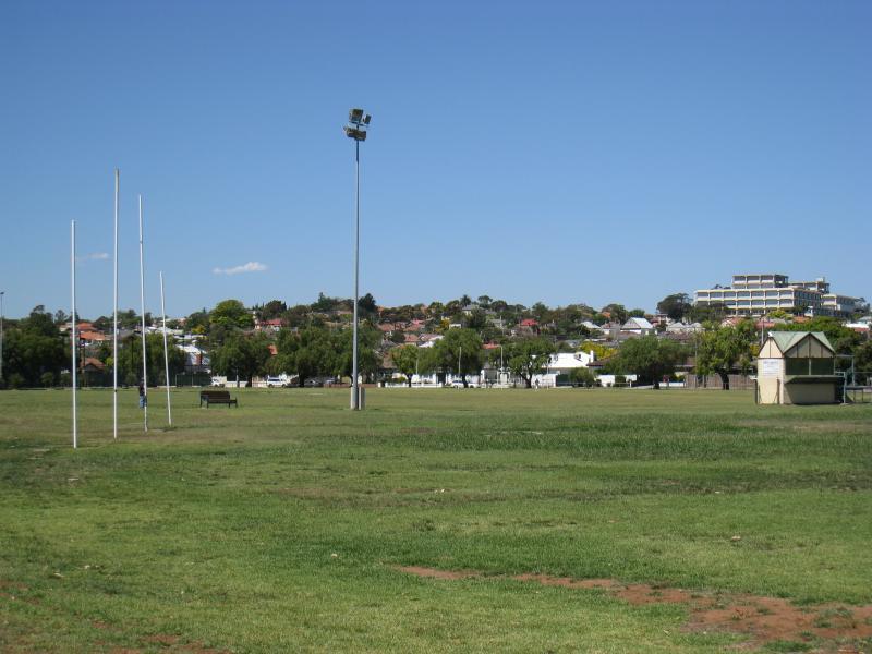
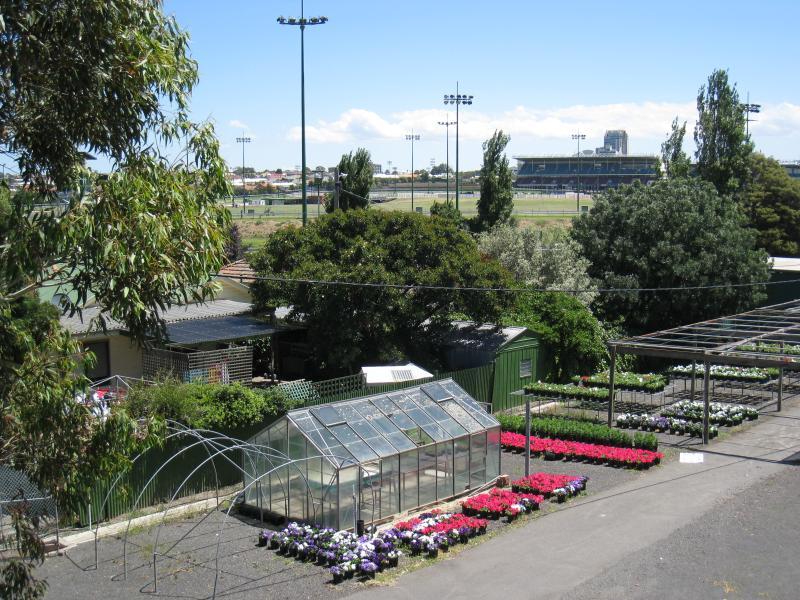
Easterly view across ovals at Maribyrnong Park from The Boulevard
View north through Aberfeldie Park from The Boulevard