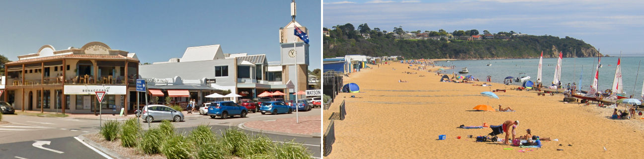
Mount Martha - photos
Mount Martha
Stay
See and do
Food and drink
Shopping
Getting around
Visitor information
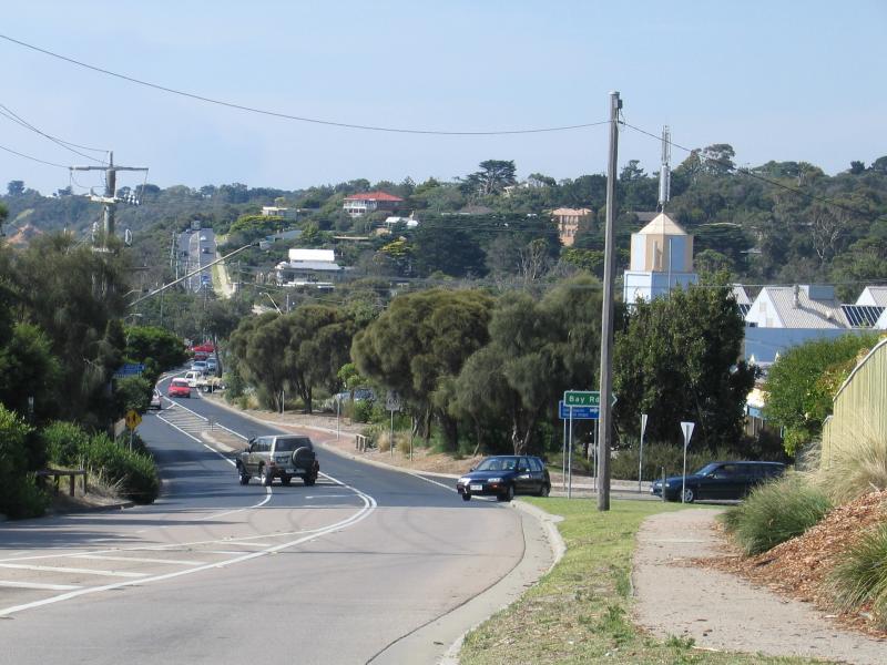
View north-east along Esplanade towards Bay Rd

View south-west along Lochiel Av at Watson Rd

Cafes, Lochiel Av at Watson Rd
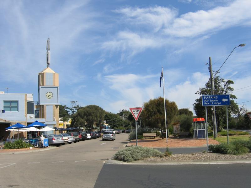
View south-west along Lochiel Av at Watson Rd

Shops, Lochiel Av between Watson Rd and Bay Rd
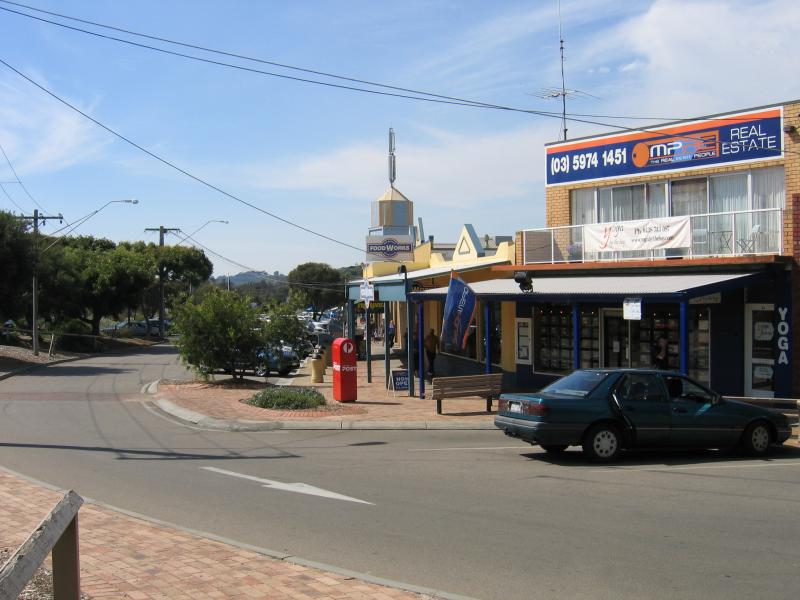
Shops, Lochiel Av between Watson Rd and Bay Rd
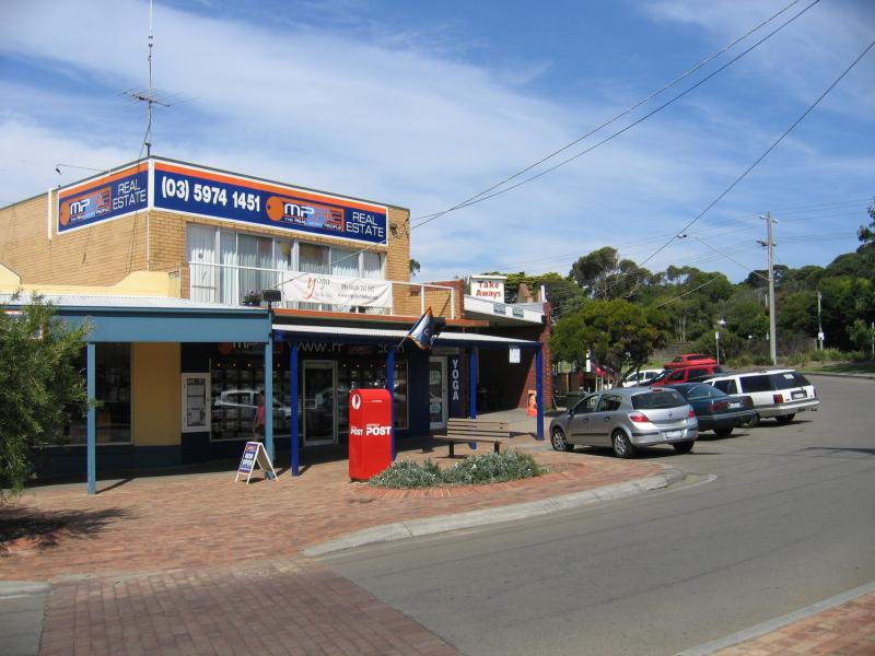
Shops, Lochiel Av between Watson Rd and Bay Rd
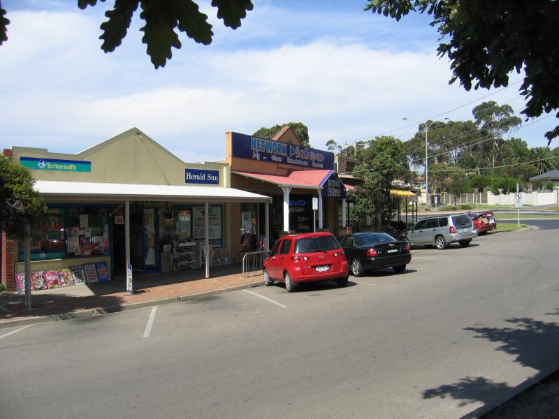
Shops, view south along Lochiel Av towards Bay Rd

Entrance to Mount Martha House at Dominion Rd

Community centre
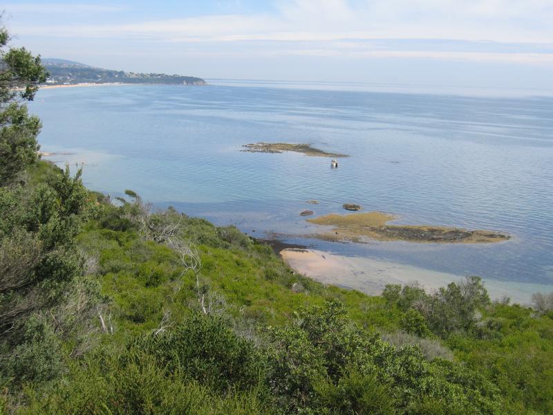
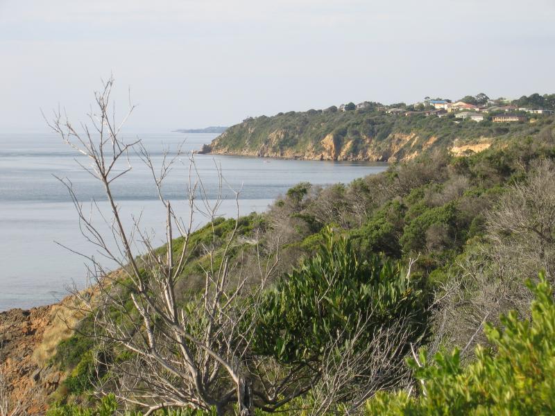
View south along coast from lookout on Esplanade, above Dava Beach
View south along Esplanade at Morrisons Av
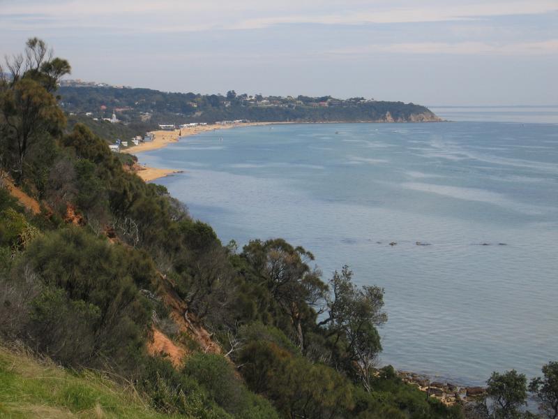
View south along coast towards Balcombe Point from lookout on Esplanade at Morrisons Av
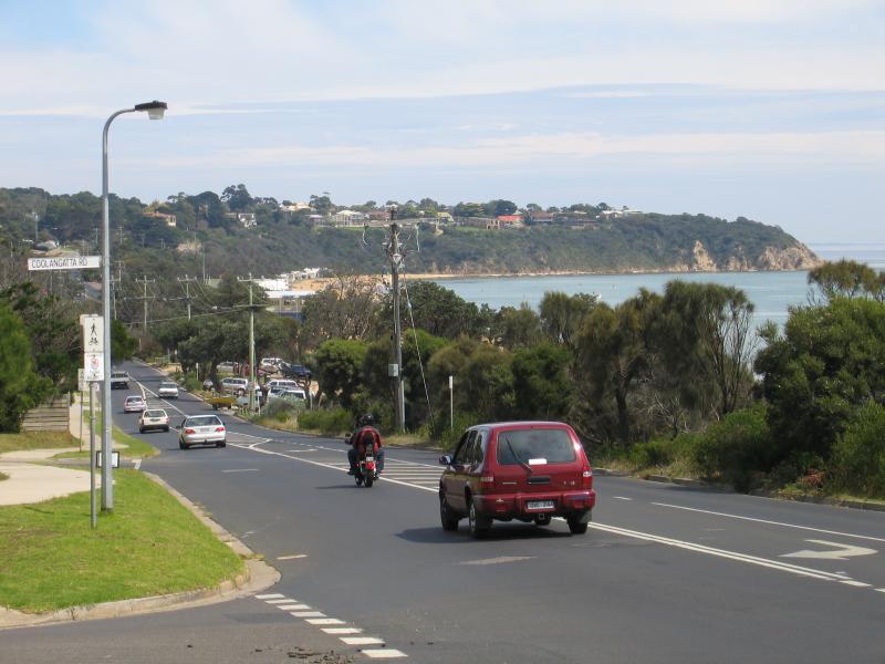
View south-west along Esplanade and coast at Coolangatta Rd

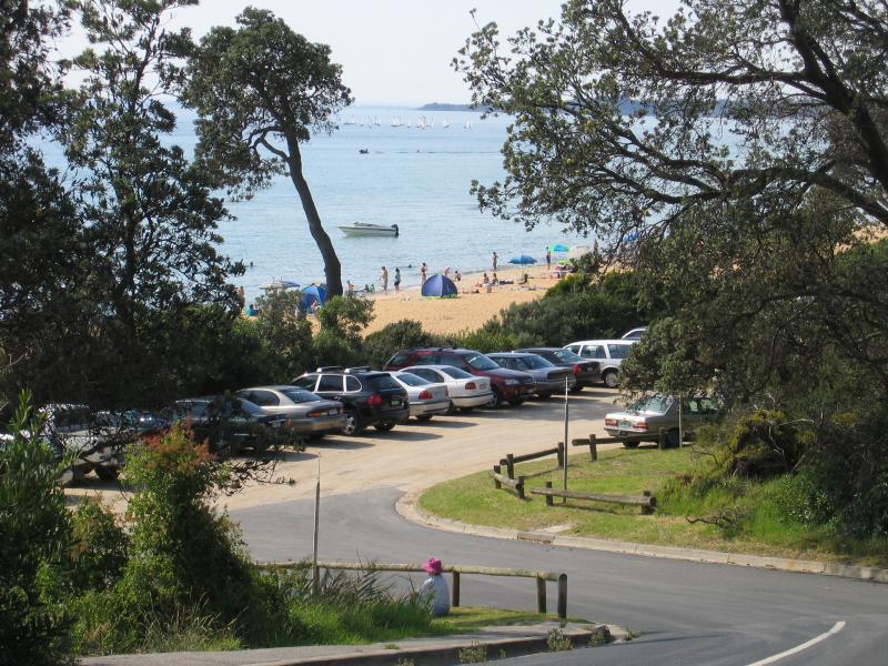
View south-west along coast near boat ramp towards Lifesaving Club
View north-east along beach
View north-east along beach
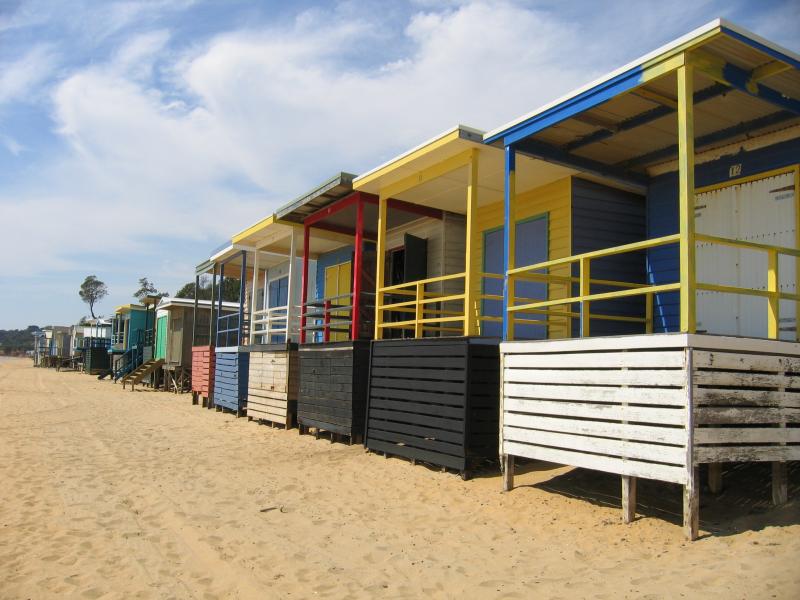
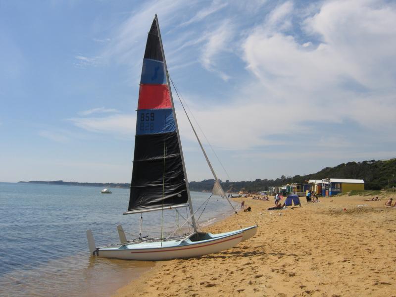
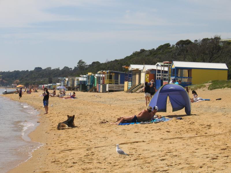
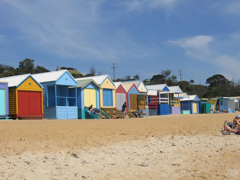
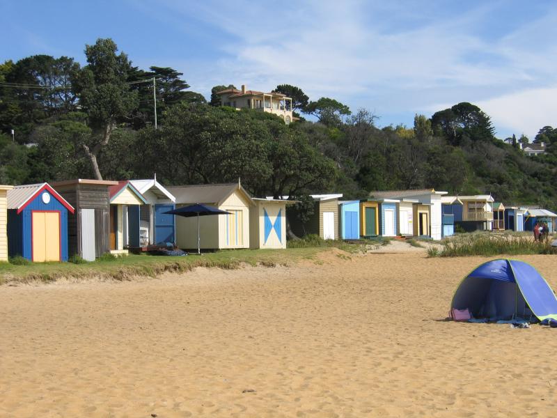
Colourful bathing boxes on beach
View north-east along Esplanade at Balcombe Creek
View east along Balcombe Creek from Esplanade
Boardwalk and viewing platforms along Balcombe Creek near Esplanade
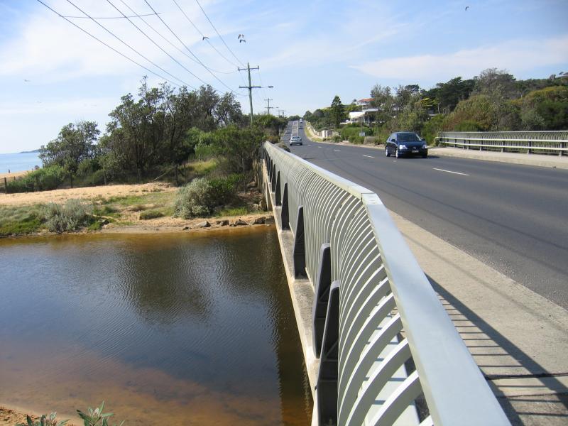
View north-east along Esplanade from bridge over Balcombe Creek
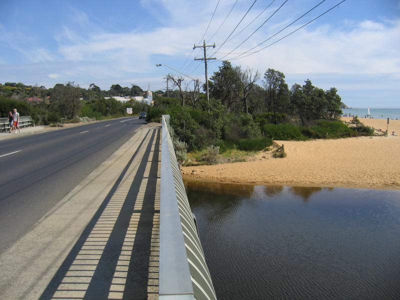
View south-west along Esplanade from bridge over Balcombe Creek
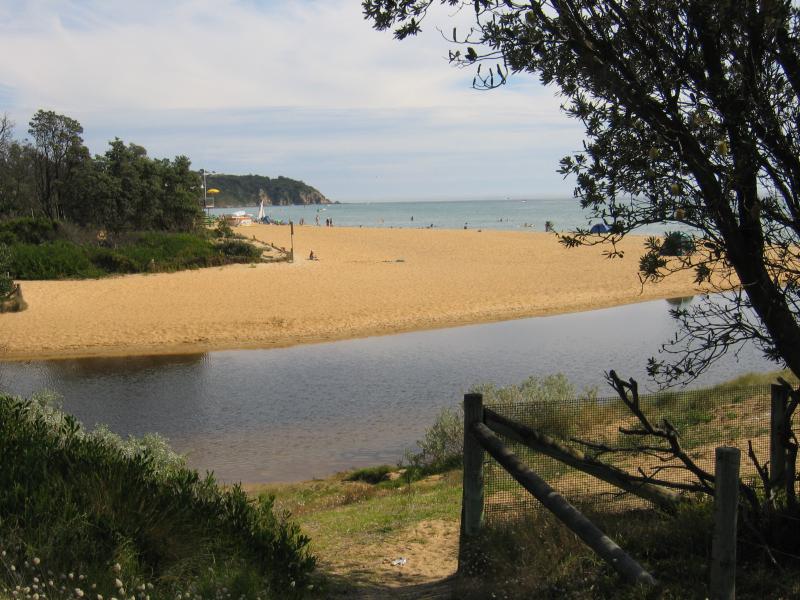
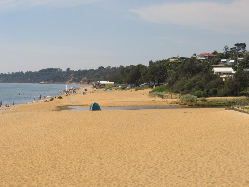
View south-west along beach at Balcombe Creek
View north-east along beach towards Lifesaving Club
View south-west along beach near Bay Rd
Bathing boxes along the beach near Bay Rd

Mt Martha Lifesaving Club
View north-east along beach from Lifesaving Club towards Balcombe Creek
View south-west along beach from Lifesaving Club
View along access road to beach, Esplanade at Kilburn Grove
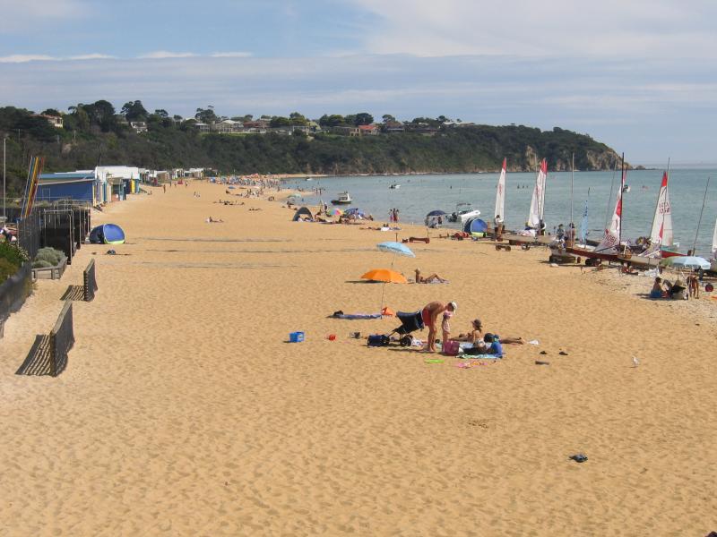
View south-west along beach
Cliff-top homes overlooking bathing boxes on beach
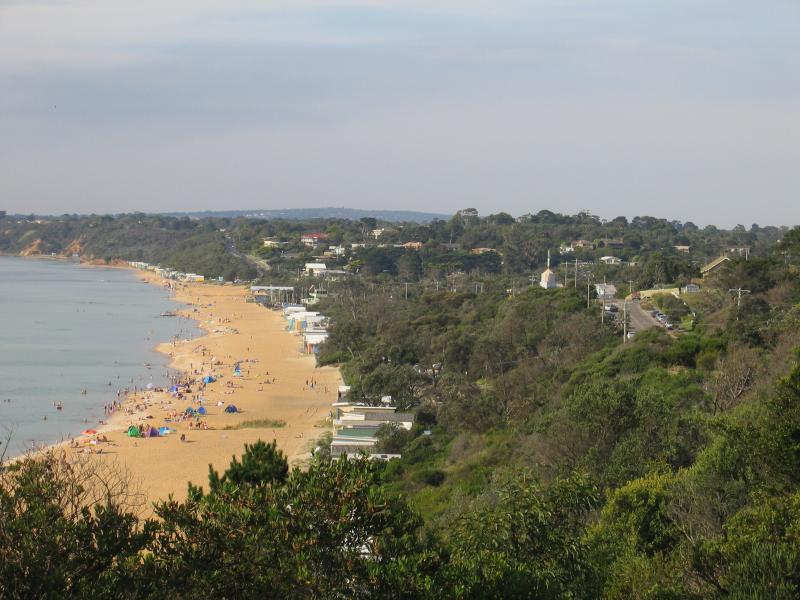
View north-east along beach

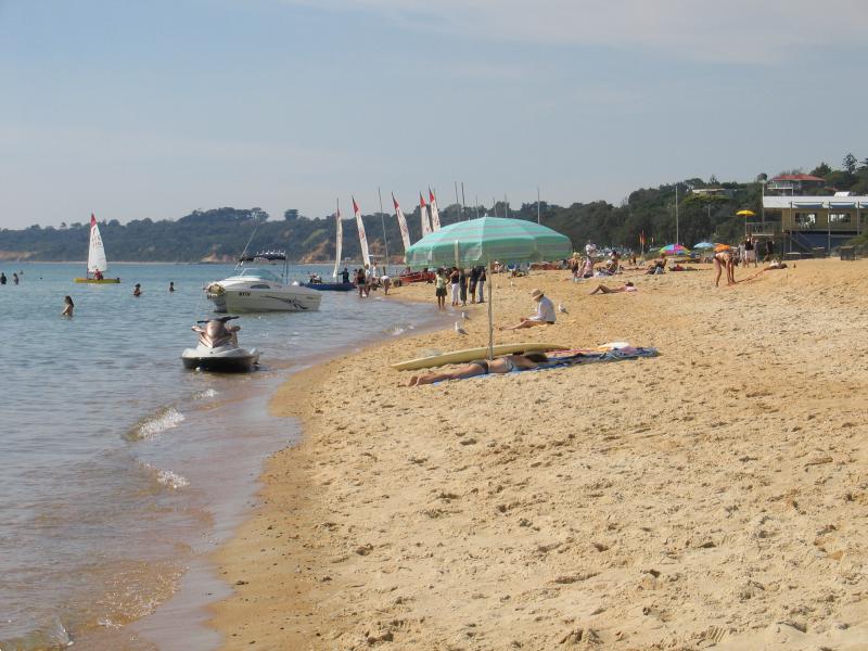
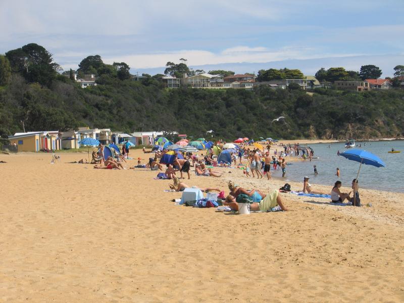
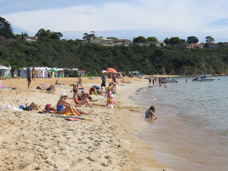
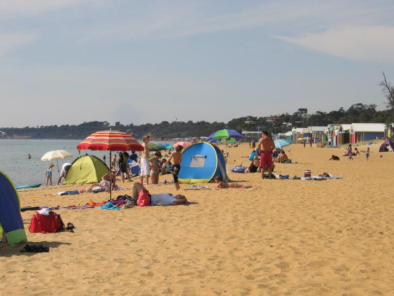
People enjoying the beach and water
View north-east along coast and inland from Esplanade at Lempriere Av

View north-east along beach from Esplanade at Lempriere Av towards Linley Point at Mornington
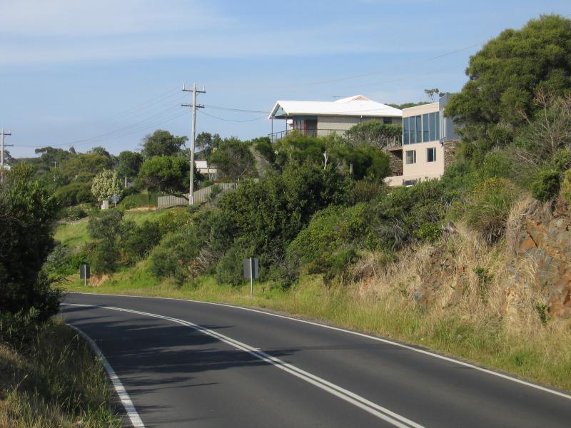
View south-west along Esplanade towards Hearn Rd
View north-east along coast near Burdoo Way
View north-east along Esplanade near Burdoo Way
View north-east along coast near Stanley Cr

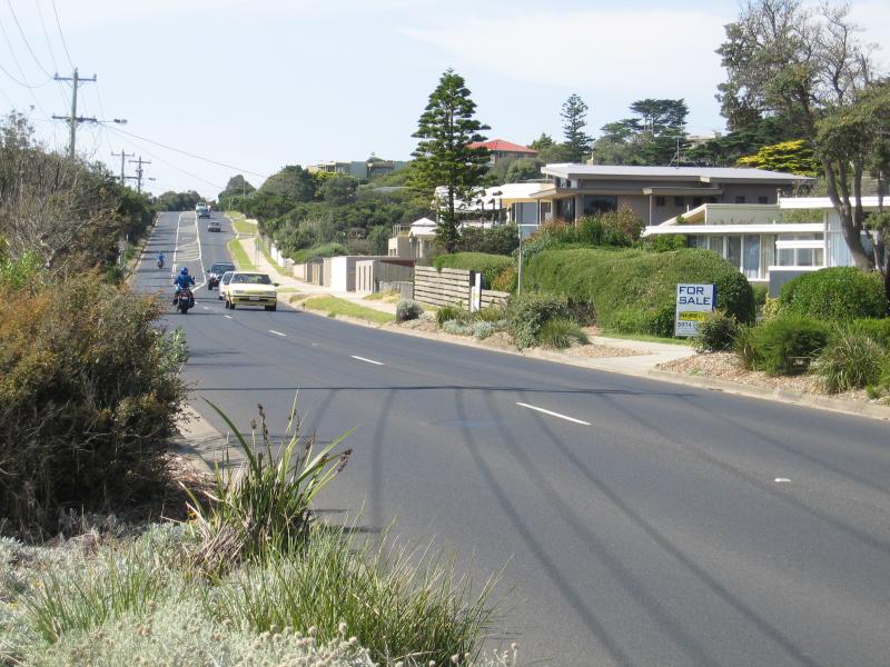
View north towards Mt Martha from Marine Dr at Nepean Hwy
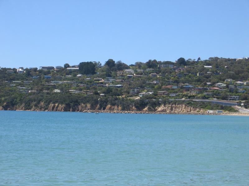
View north towards Mt Martha from Safety Beach jetty
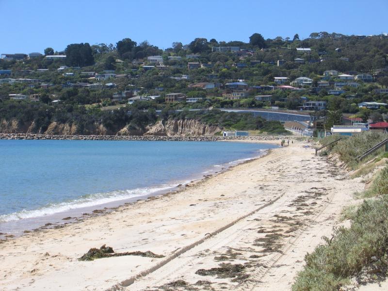
View north towards Mt Martha from beach near Victoria St
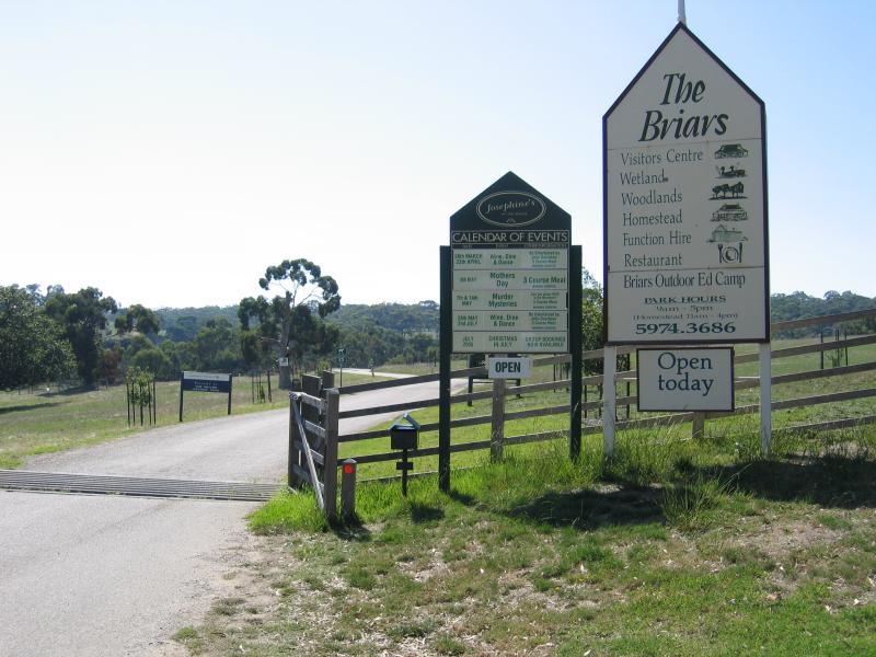
Entrance to The Briars Park, Nepean Hwy
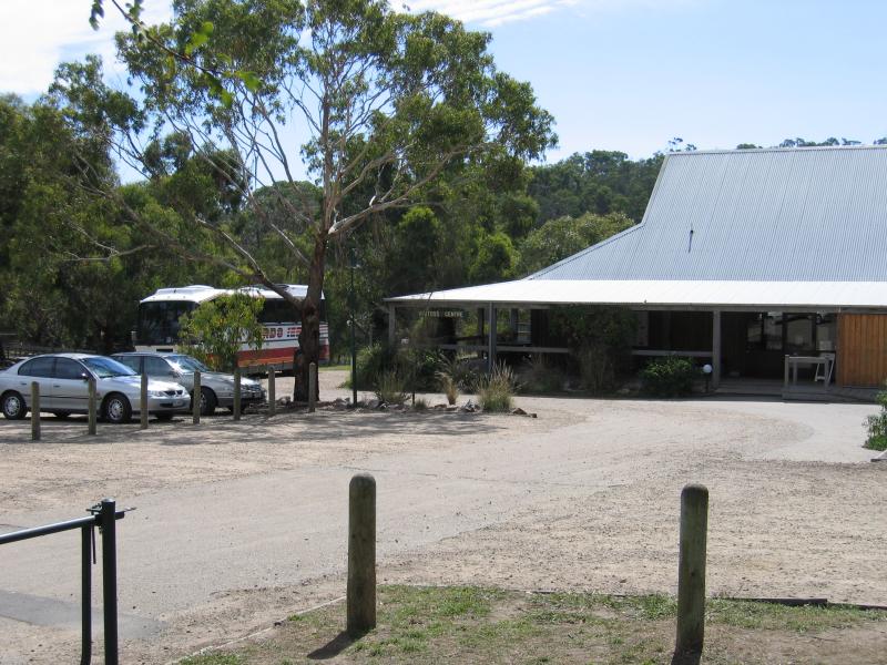
Visitors Centre
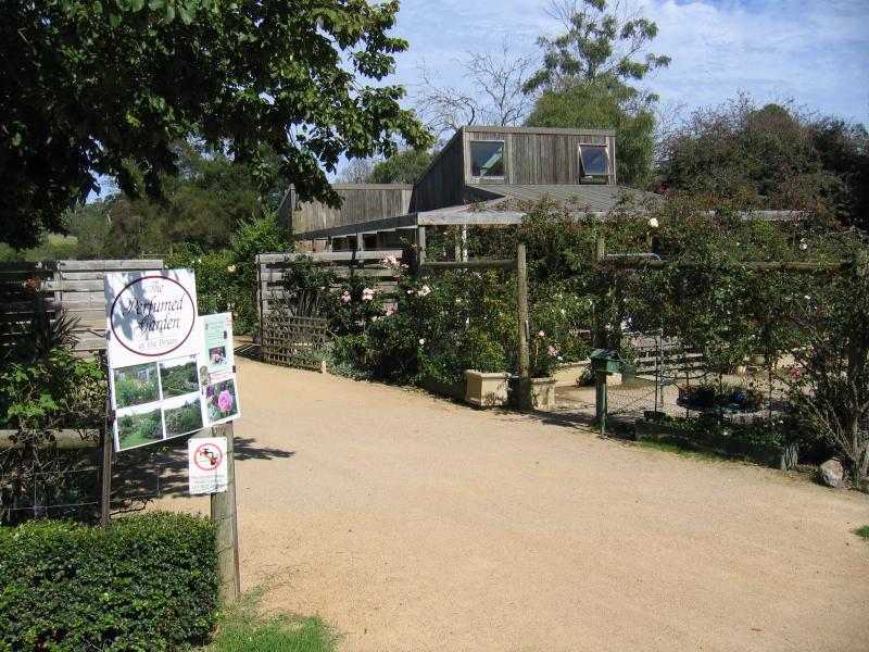
The Perfumed Garden and nursery
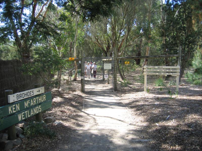
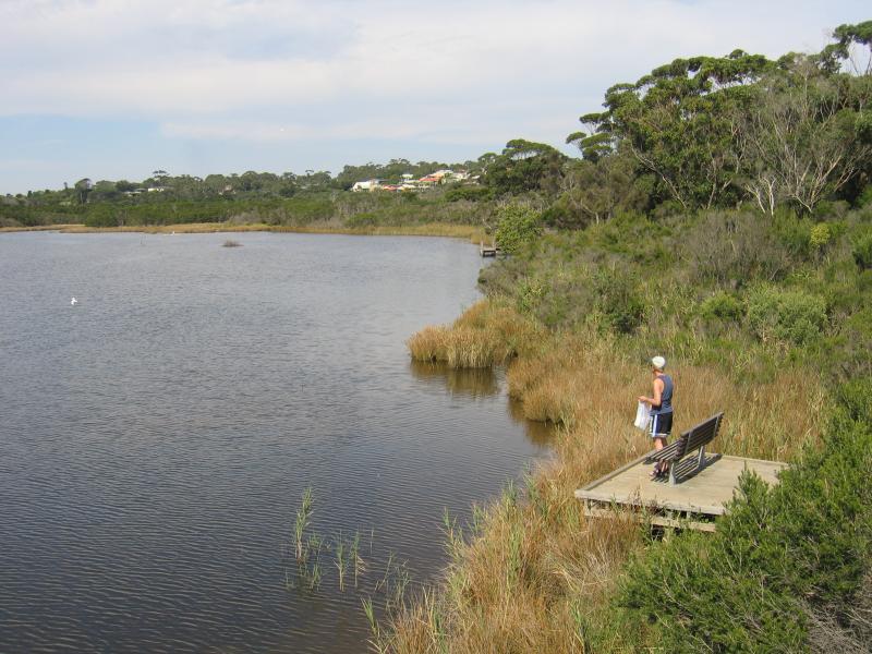
Start of wetland walks at Visitors Centre
View across wetlands from Boonoorong Hide
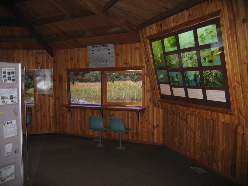
Inside Chechingurk Hide

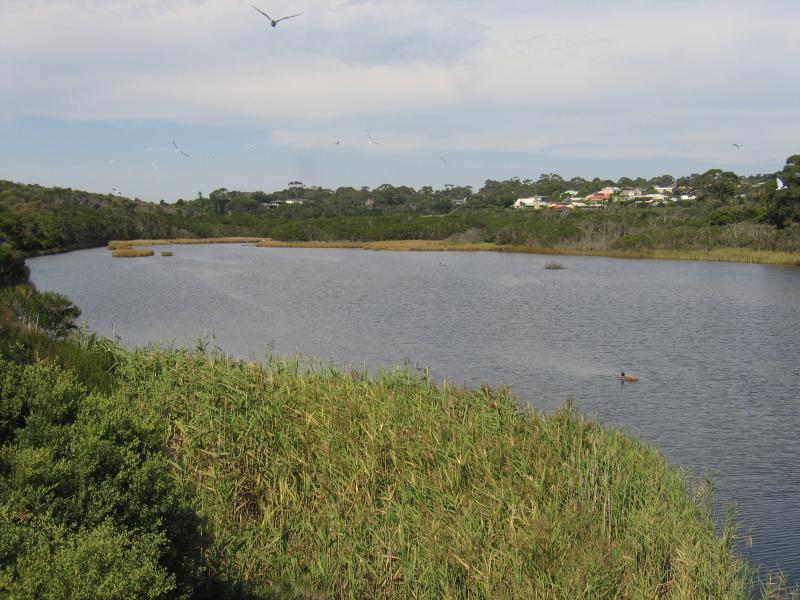
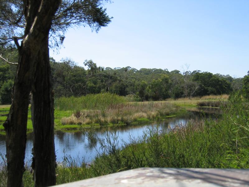
View across wetlands from Chechingurk Hide
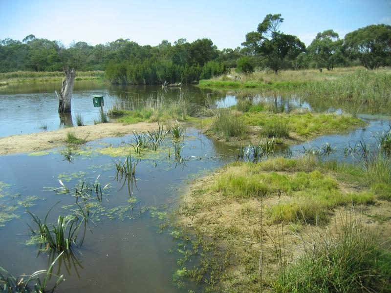
View across wetlands from Chechingurk Hide
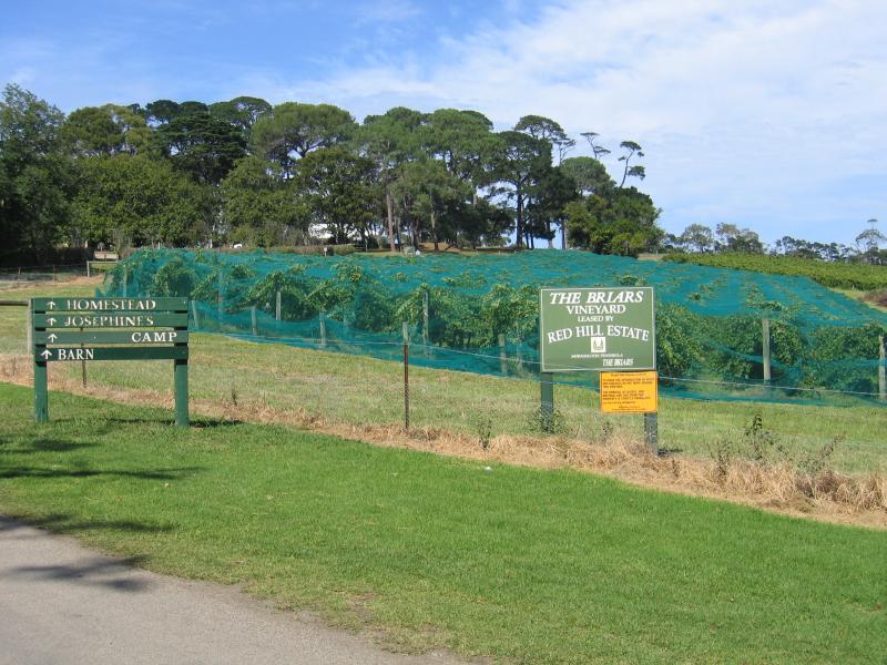
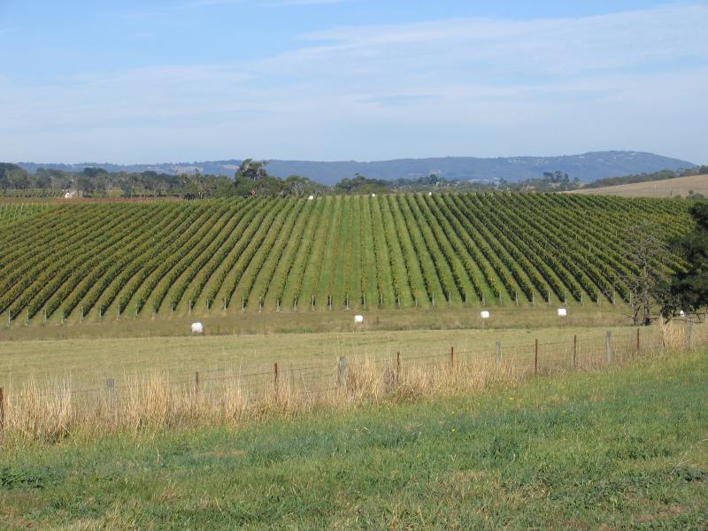
The Briars Vineyard, leased by Red Hill Estate

View of vineyard and grazing land from near Briars Homestead

Entrance to Briars Homestead
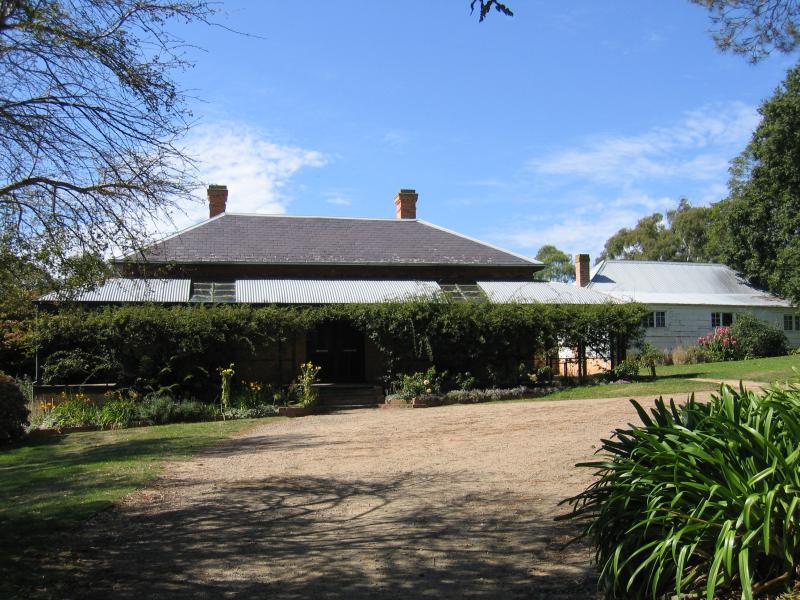
Briars Homestead

Back of Briars Homestead
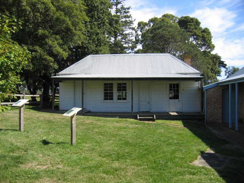
'The Hutch', the original section of the homestead
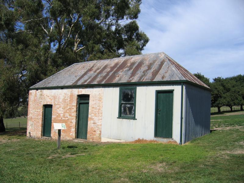
Dairy and laundry
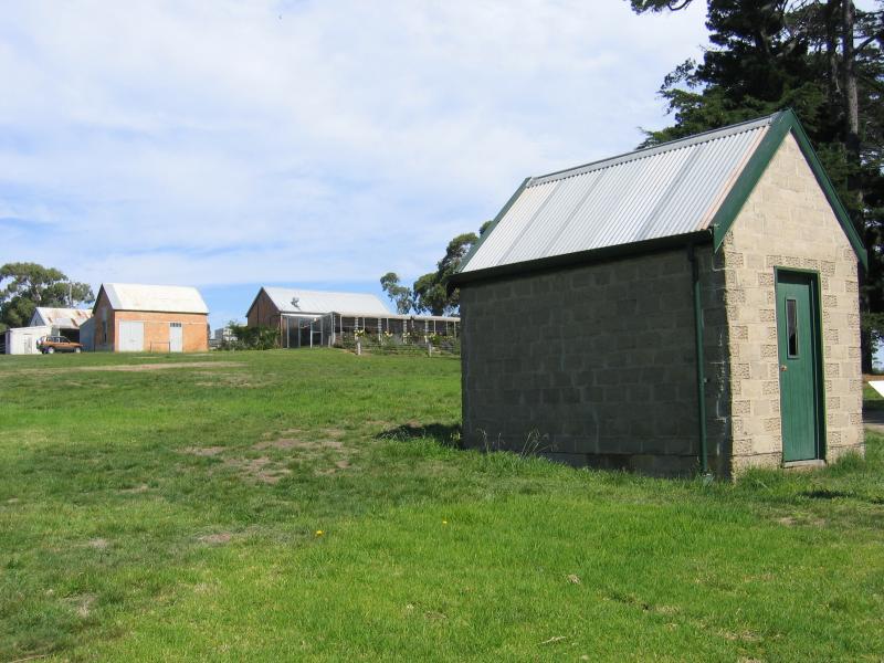
Apple Store
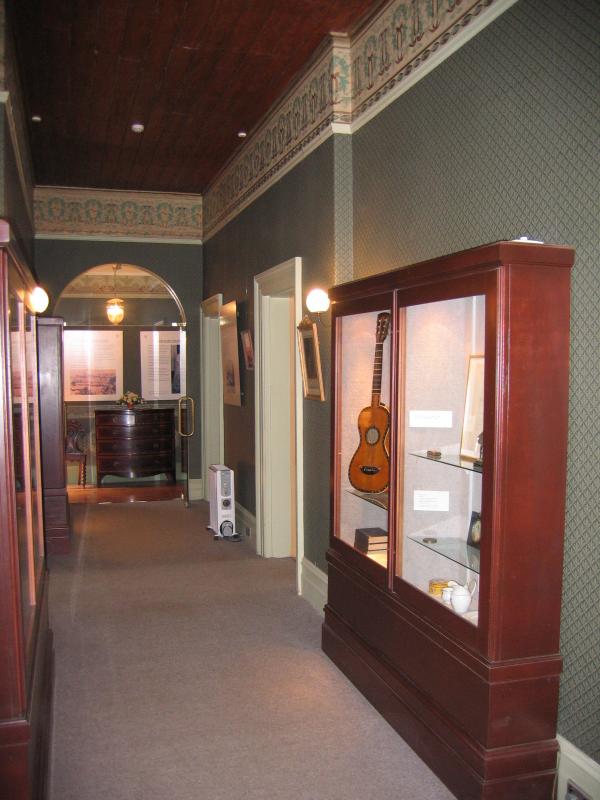
Hallway inside homestead
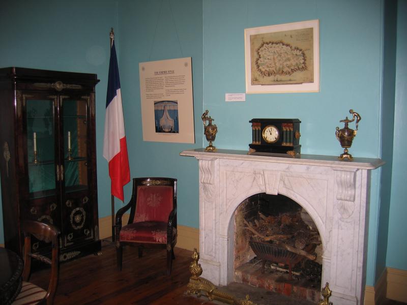
Inside homestead
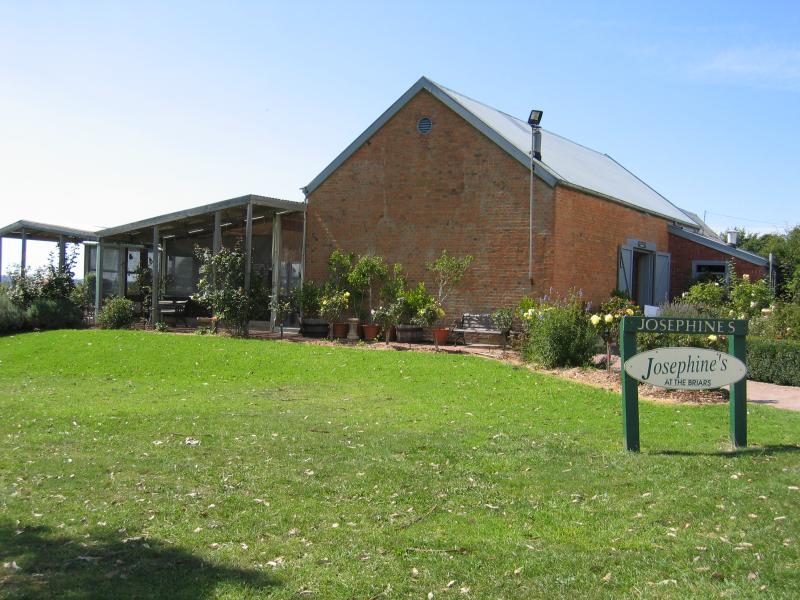
Josephines Restaurant
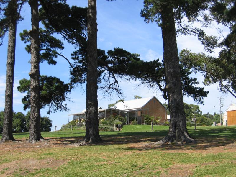
View of Josephines Restaurant from pine trees near homestead
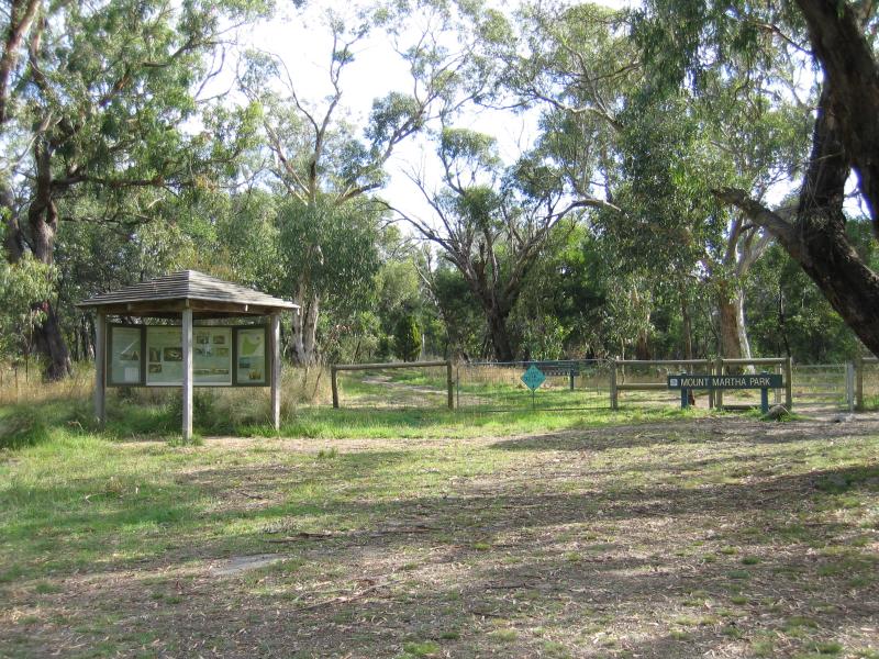
Entrance on Park Rd
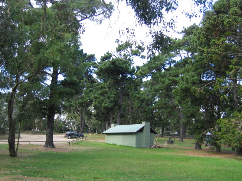
Conifers Picnic Ground
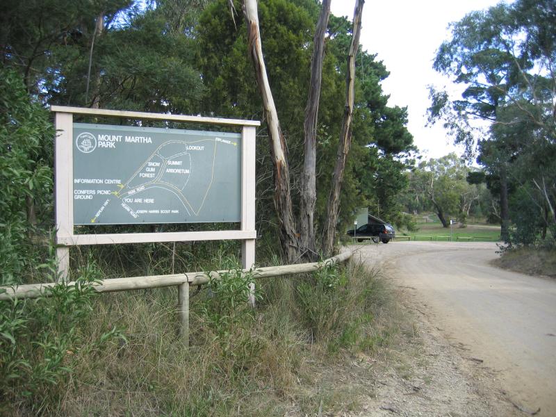
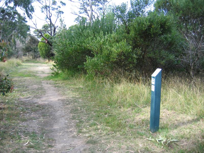
Walking tracks from car park

Walking track between car park and summit of Mt Martha
Summit of Mt Martha
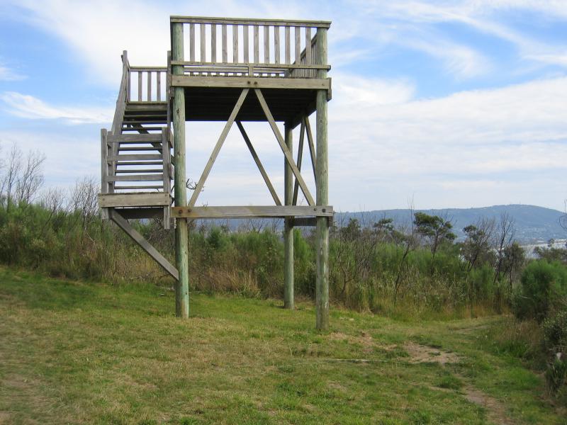
Lookout tower (closed)
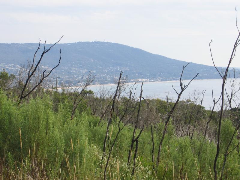
View near lookout tower, south-west towards Dromana and Arthurs Seat

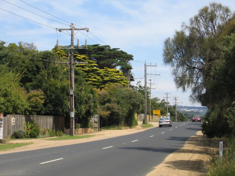
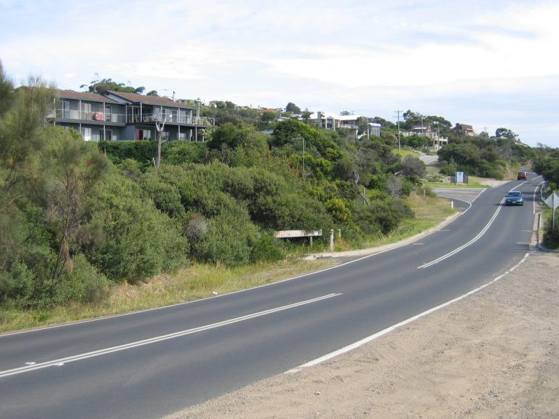
View south-west along Mornington Peninsula Freeway near Old Moorooduc Rd
Winery viewed from Mornington Peninsula Freeway, south of Old Moorooduc Rd