Neerim South - photos
Neerim South
Stay
See and do
Food and drink
Shopping
Getting around
Visitor information
 Shops and commercial centre, Main Neerim Road - Neerim South Hotel, south of Wagner Rd
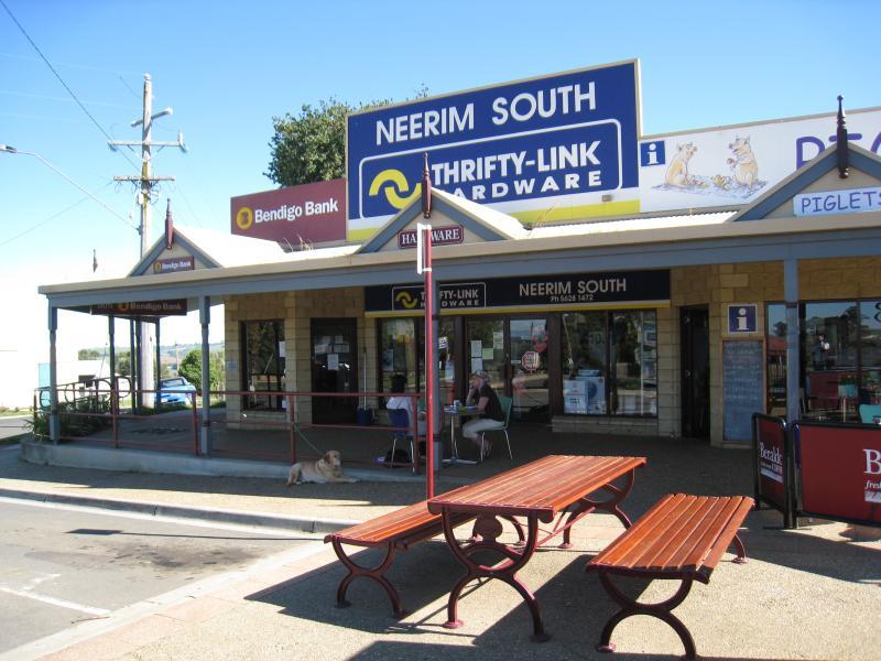
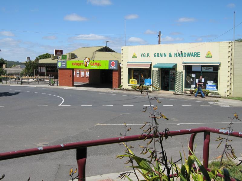 Shops and commercial centre, Main Neerim Road - Hardware, view south along service road at Wagner Rd
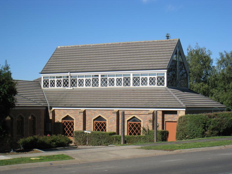 Shops and commercial centre, Main Neerim Road - St Johns church, opposite Wagner Rd
 Shops and commercial centre, Main Neerim Road - Entrance to St Johns church
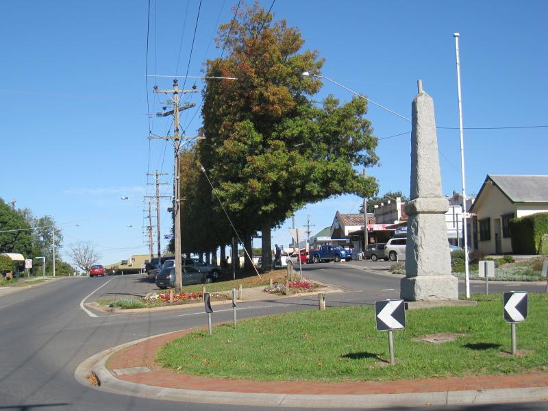
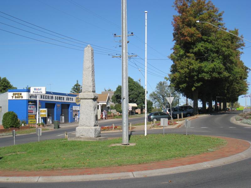
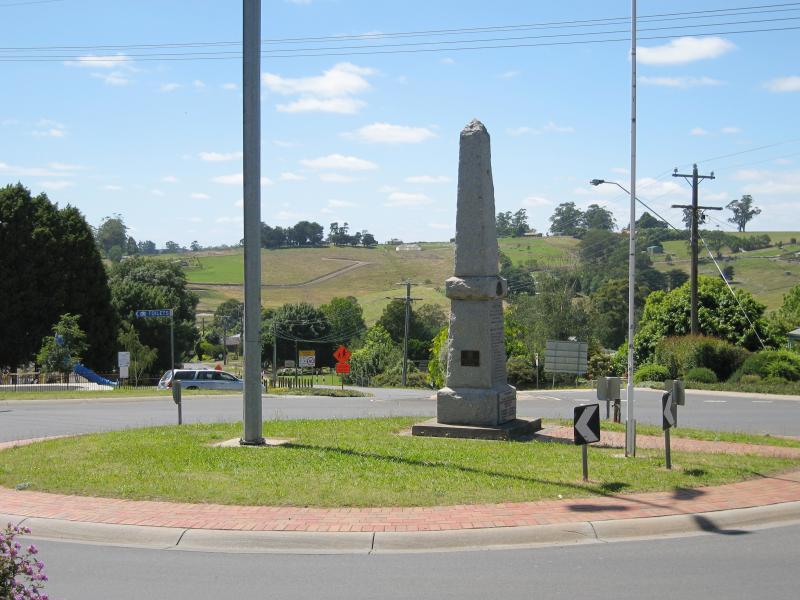
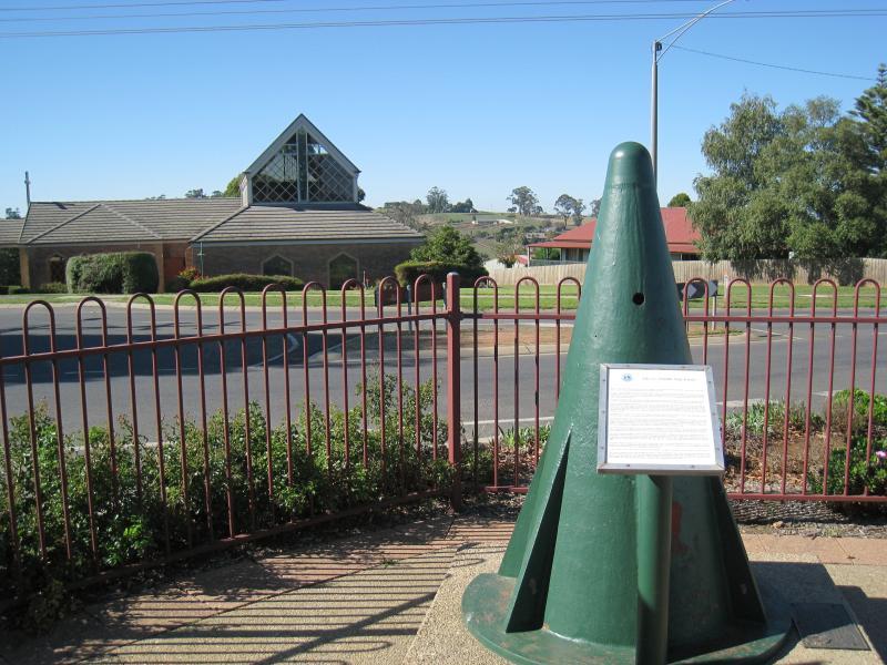 Shops and commercial centre, Main Neerim Road - Turntable cone from old railway, corner Main Neerim Rd and Wagner Rd
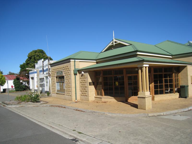
 Shops and commercial centre, Main Neerim Road - Shops, corner Main Neerim Rd and Wagner Rd
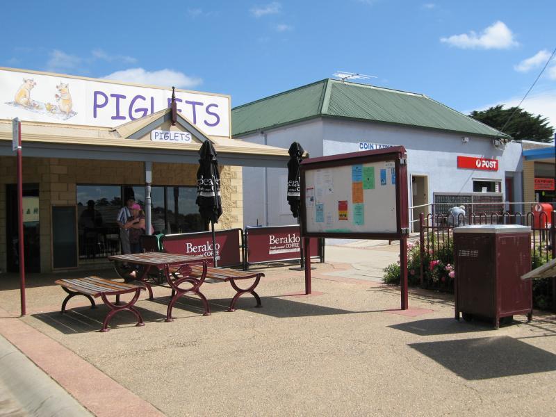 Shops and commercial centre, Main Neerim Road - Cafe and post office, west side of Main Neerim Rd
 Shops and commercial centre, Main Neerim Road - Shops, view south along Main Neerim Rd towards Wagner Rd
 Shops and commercial centre, Main Neerim Road - Shops, west side of Main Neerim Rd
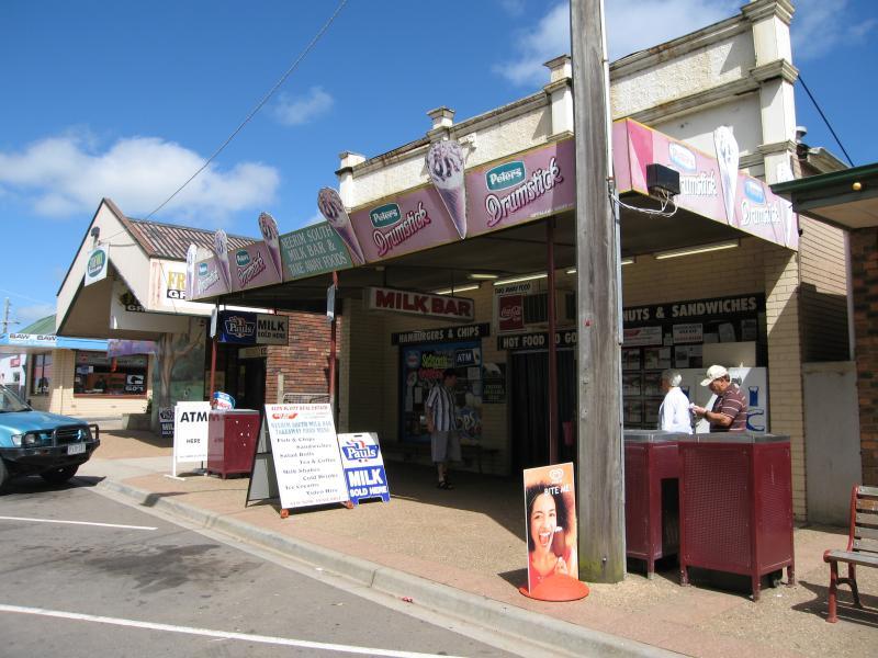 Shops and commercial centre, Main Neerim Road - Milk bar, west side of Main Neerim Rd
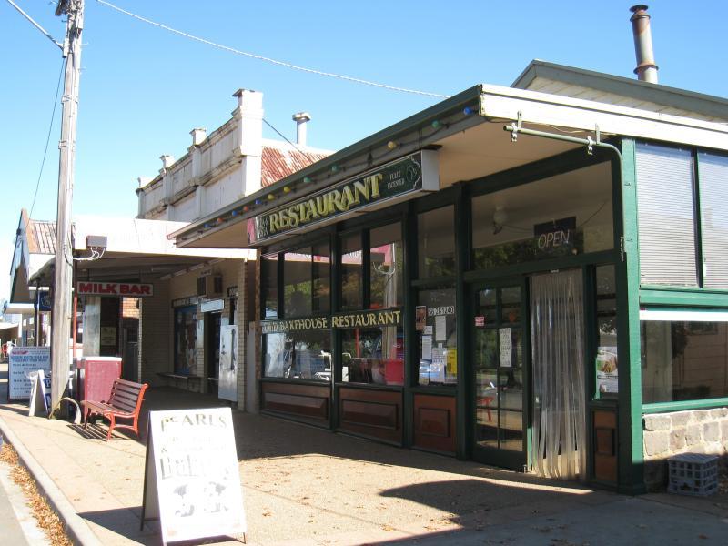 Shops and commercial centre, Main Neerim Road - Restaurant, view south along Main Neerim Rd
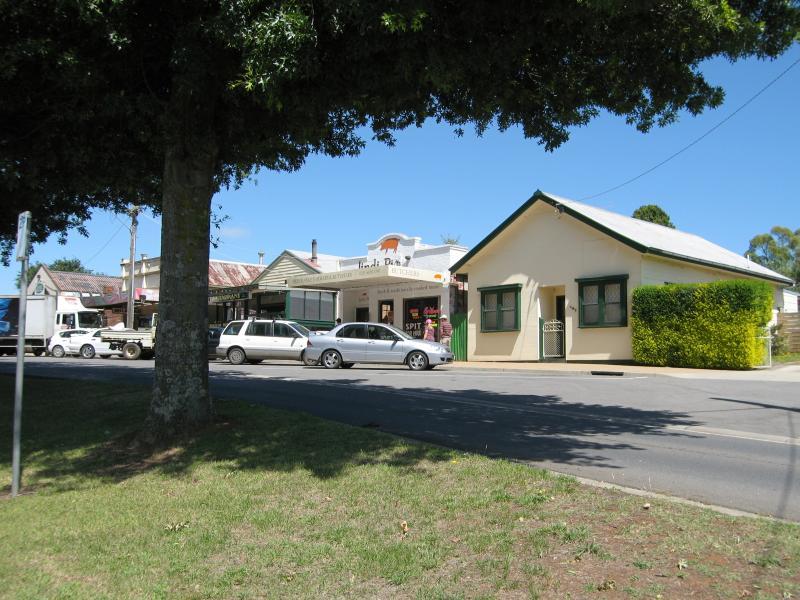 Shops and commercial centre, Main Neerim Road - Shops along western side of Main Neerim Rd, just south of Neerim East Rd
 Shops and commercial centre, Main Neerim Road - View north-east along Main Neerim Rd towards Neerim East Rd
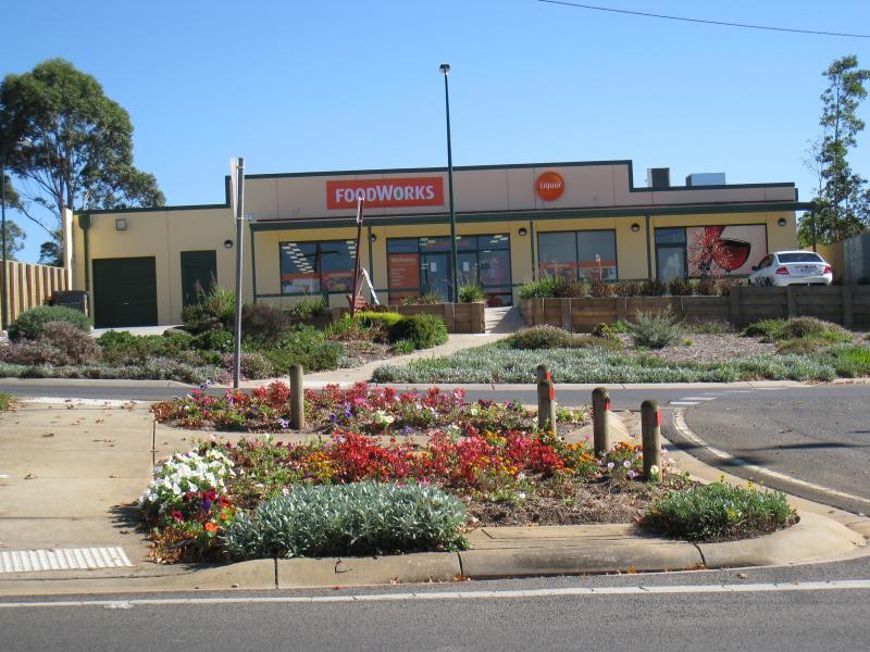 Shops and commercial centre, Main Neerim Road - Supermarket, west side of Main Neerim Rd at Neerim East Rd
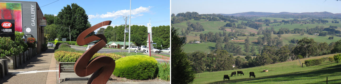
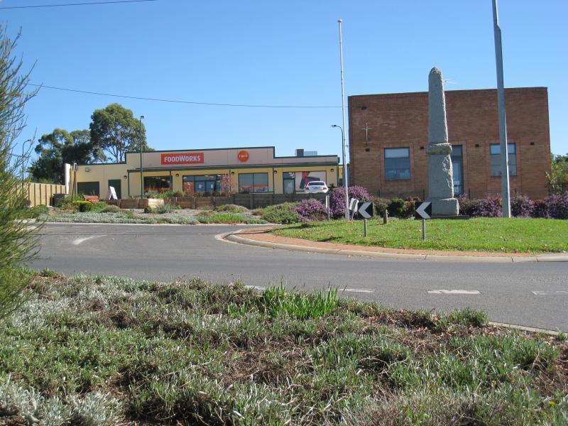 Shops and commercial centre, Main Neerim Road - Supermarket and gallery on Main Neerim Rd at Neerim East Rd
 Shops and commercial centre, Main Neerim Road - View north-east along Main Neerim Rd at Neerim East Rd
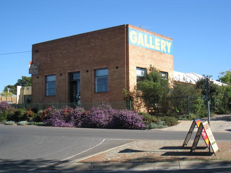 Shops and commercial centre, Main Neerim Road - Gallery, Main Neerim Rd at Neerim East Rd
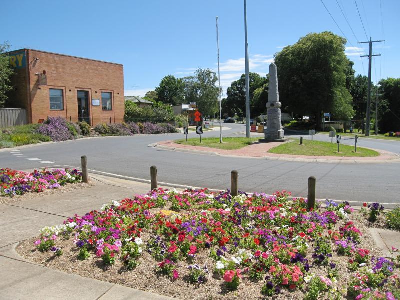
 Shops and commercial centre, Main Neerim Road - View south-west along Main Neerim Rd at Neerim East Rd
 Shops and commercial centre, Main Neerim Road - View south-west along Main Neerim Rd at Neerim East Rd
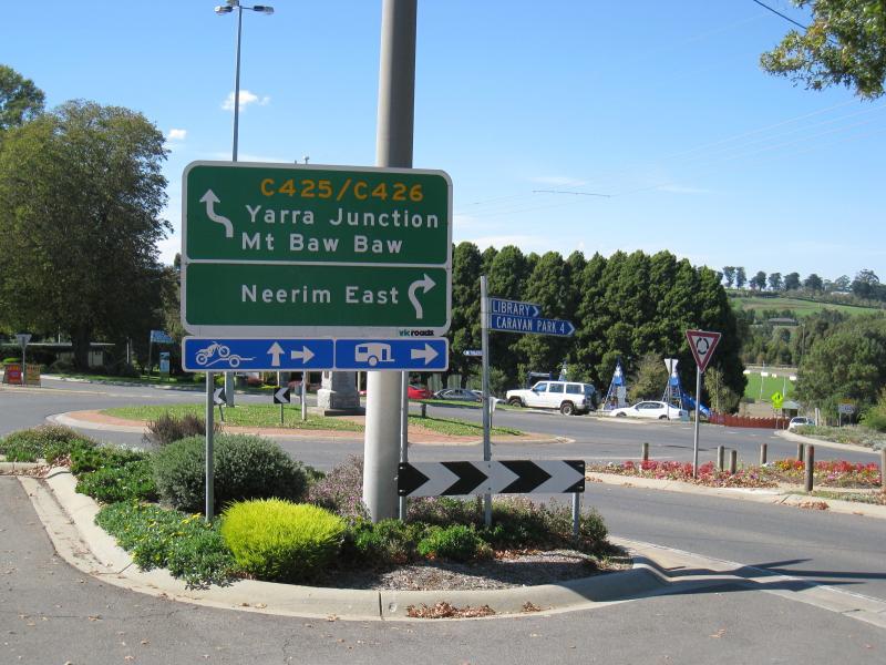
 Shops and commercial centre, Main Neerim Road - View east along Neerim East Rd at Main Neerim Rd
 Shops and commercial centre, Main Neerim Road - View south along Main Neerim Rd towards Neerim East Rd
 Shops and commercial centre, Main Neerim Road - J.D. Algie Memorial Hall, Main Neerim Rd south of Taraview Ct
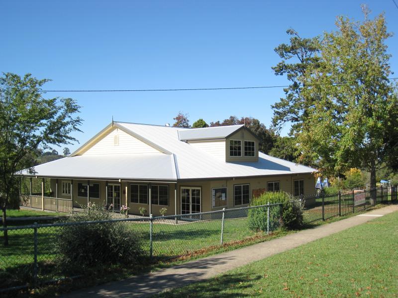 Park on the corner of Main Neerim Road and Neerim East Road - Orana Community Centre fronting Main Neerim Rd
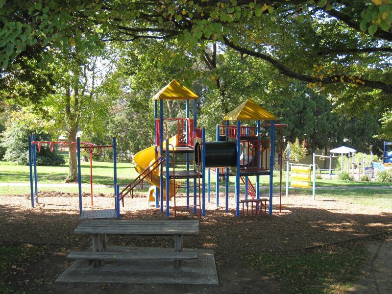 Park on the corner of Main Neerim Road and Neerim East Road - Playground
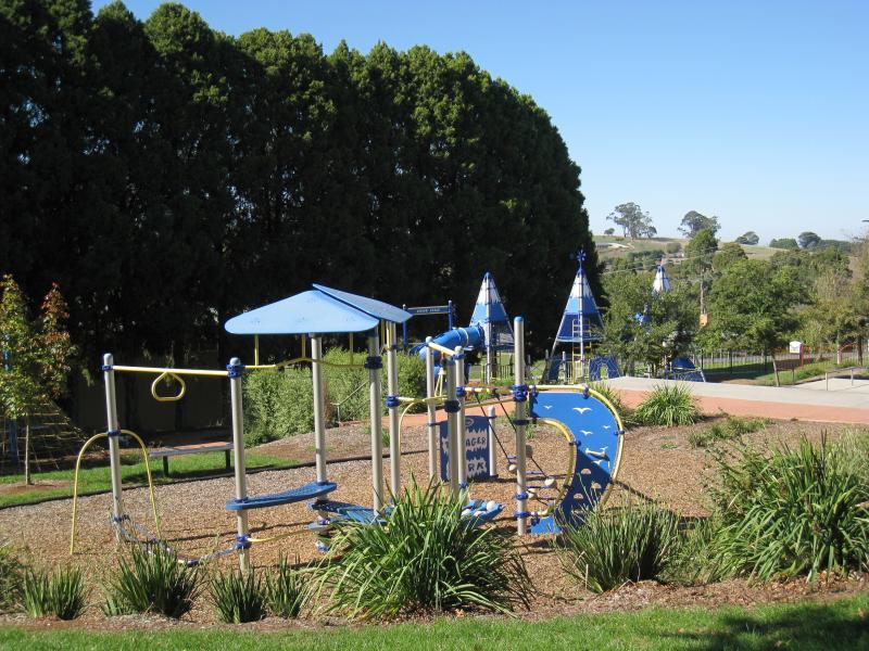 Park on the corner of Main Neerim Road and Neerim East Road - Playground
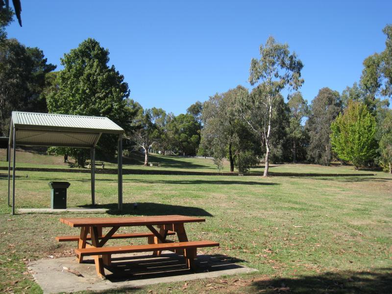
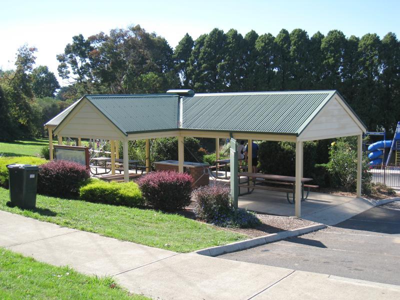 Park on the corner of Main Neerim Road and Neerim East Road - BBQ shelter
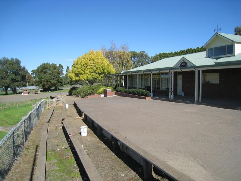 Neerim South Recreation Reserve, Neerim East Road - Pavillion fronting sports oval
 Neerim South Recreation Reserve, Neerim East Road - View across oval
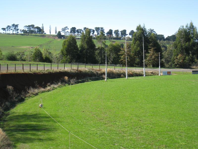 Neerim South Recreation Reserve, Neerim East Road - View across oval
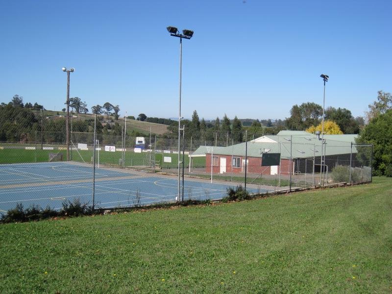 Neerim South Recreation Reserve, Neerim East Road - Netball courts
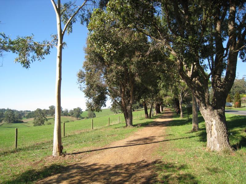
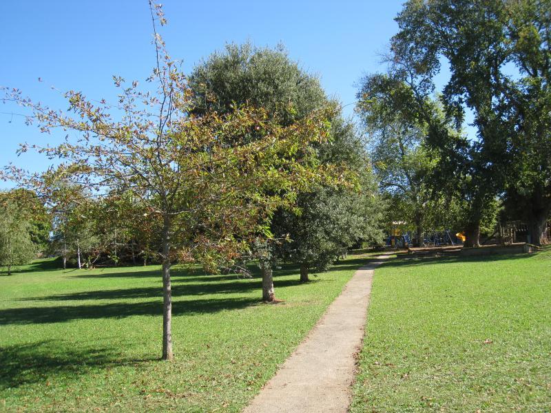 Neerim South Recreation Reserve, Neerim East Road - Pathway through park behind pavillion
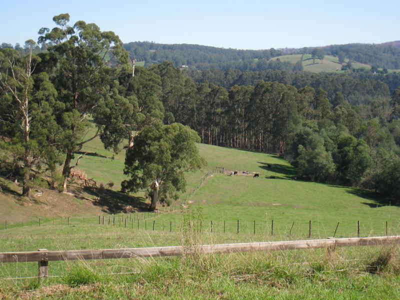
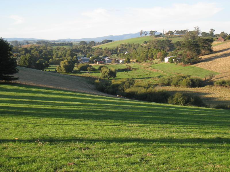
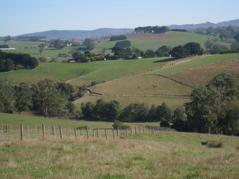
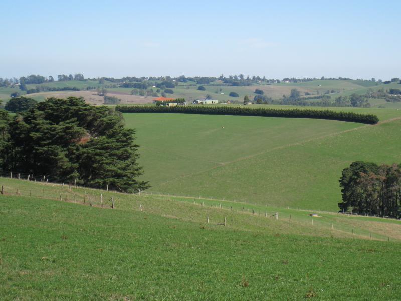
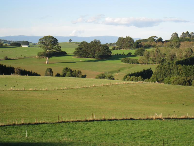
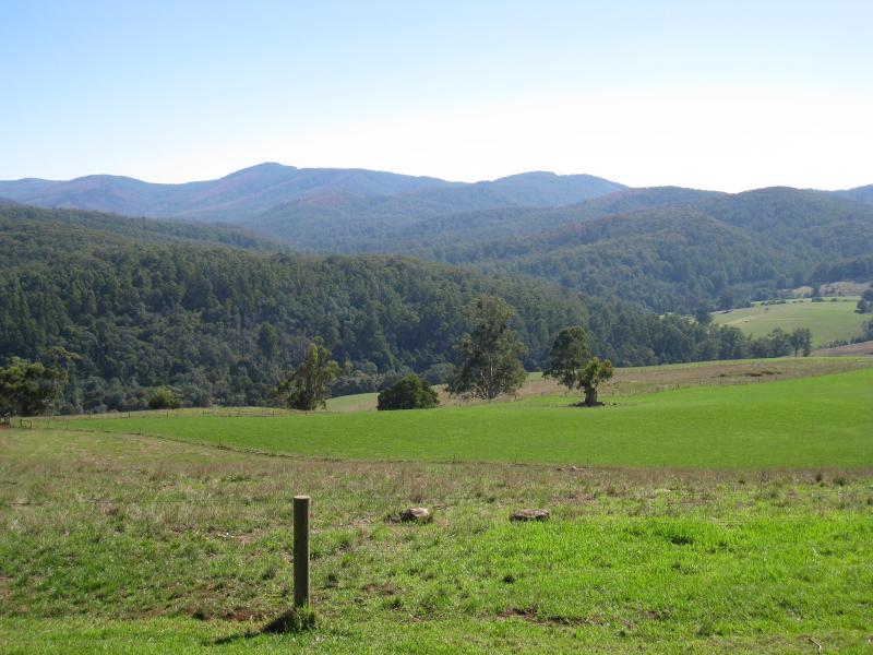
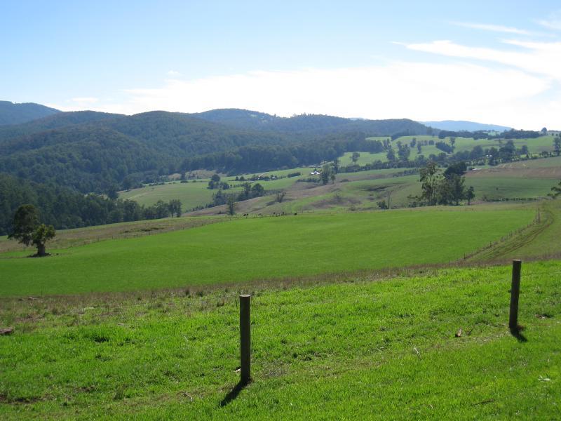
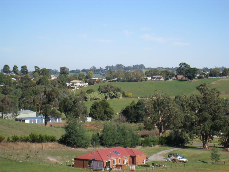 McDougal Road - South-westerly view, east of Neerim East Rd
 Wagner Road - North-west view along Wagner Rd, west of town
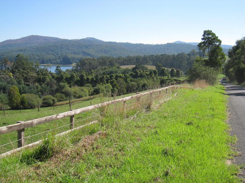
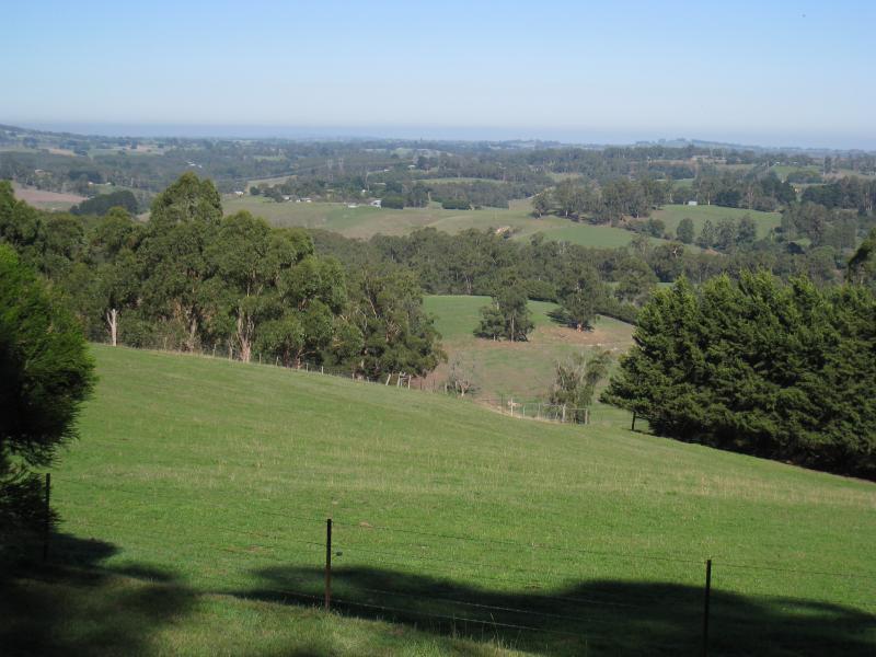
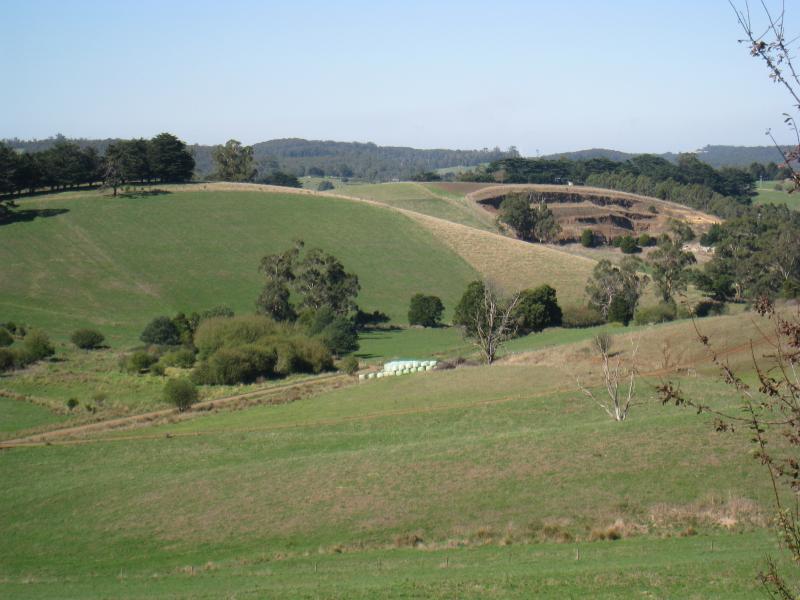
 Wagner Road - South-west view towards Tarago Reservoir
 Wagner Road - View north-west along Wagner Rd near Tarago Reservoir
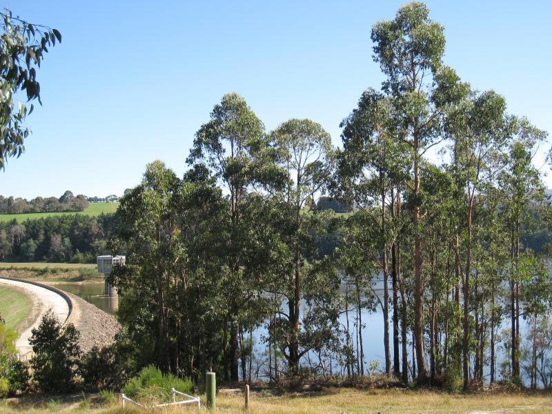
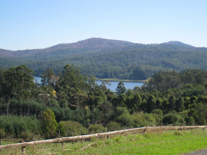 Wagner Road - View of Tarago Reservoir from Wagner Rd
 Wagner Road - Westerly view from Wagner Rd near Tarago Reservoir
 Shirley Road - View south along Shirley Rd towards Benjamin St
 Shirley Road - Westerly view, Shirley Rd near Benjamin St
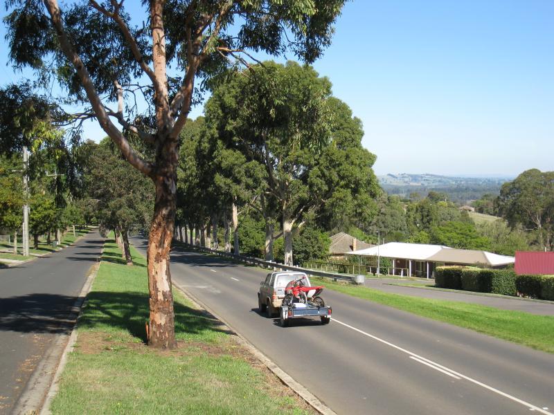
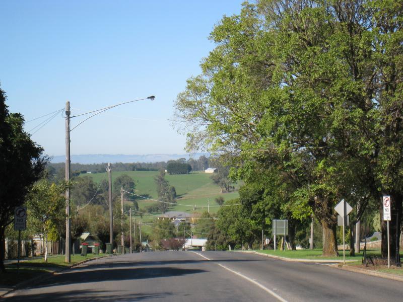 Main Neerim Road, southern side of town - View south along Main Neerim Rd, south of Wagner Rd
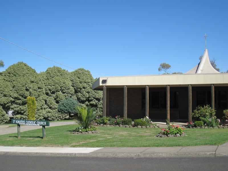 Main Neerim Road, southern side of town - St Ignatius church, south of Wagner Rd
 Main Neerim Road, southern side of town - Bowling club, north of Jindivick Rd
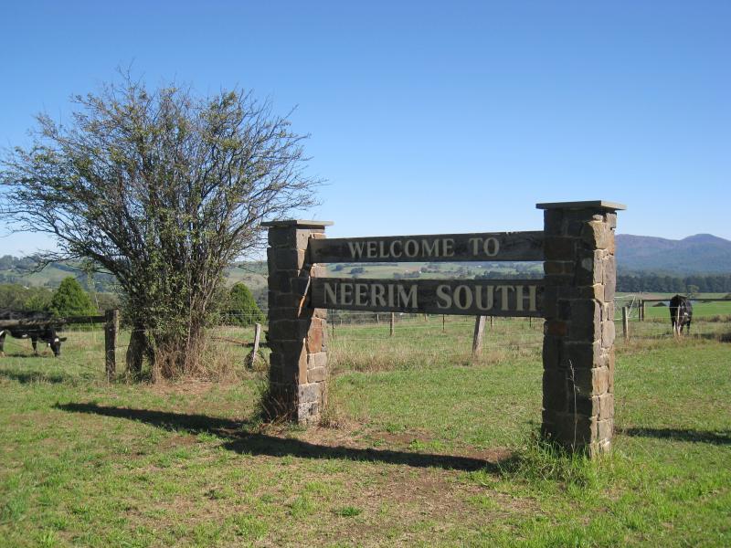 Main Neerim Road, southern side of town - Welcome to Neerim South town sign, south of Jindivick Rd
 Main Neerim Road, southern side of town - Westerly view near town sign
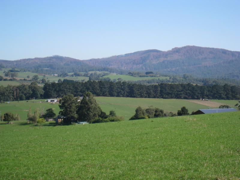 Main Neerim Road, southern side of town - Westerly view near town sign
 Main Neerim Road, southern side of town - North-east view along Red Hill Creek towards town from Main Neerim Rd near town sign
 Main Neerim Road, southern side of town - View south along Main Neerim Rd and pathway near town sign
 Main Neerim Road, southern side of town - View north along Main Neerim Rd towards town sign and Jindivick Rd
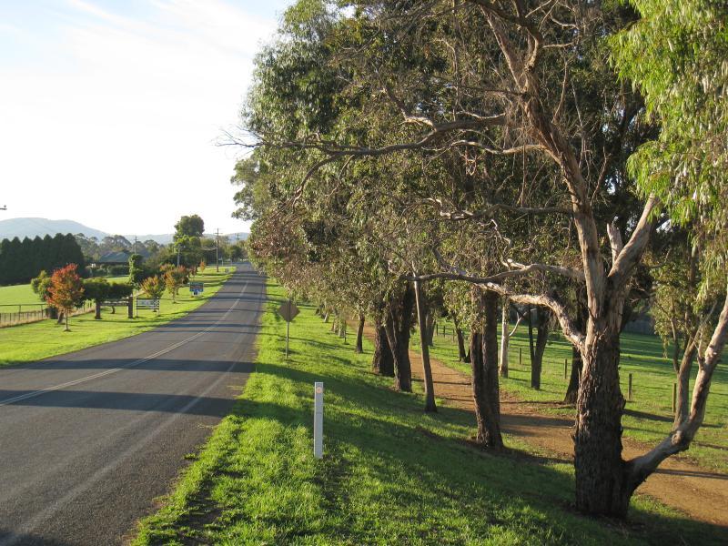
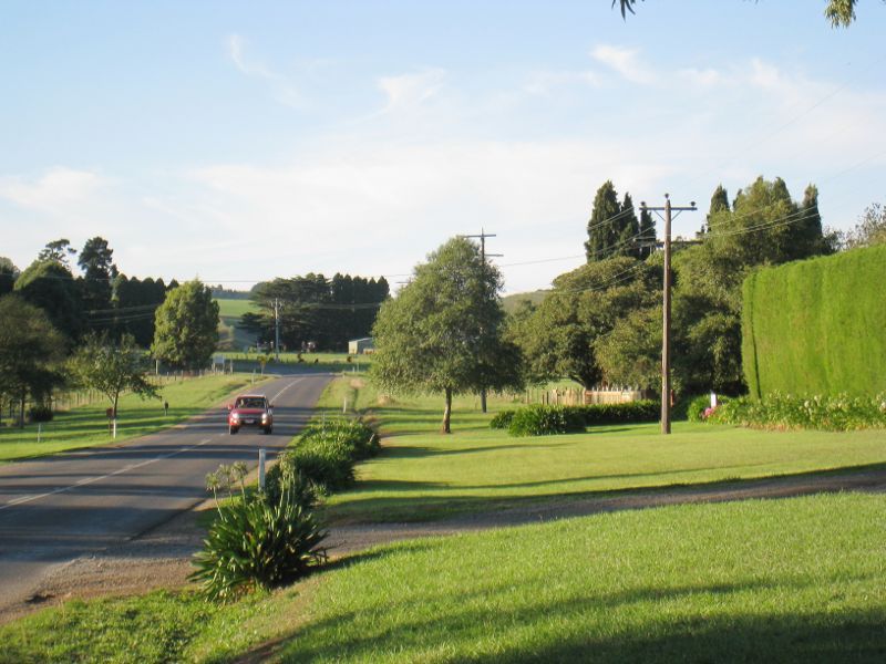
 Main Neerim Road, southern side of town - North-westerly view, Main Neerim Rd north of Le Page Rd
 Jindivick Road - View west along Jindivick Rd at Main Neerim Rd
 Jindivick Road - South-westerly view, Jindivick Rd at Main Neerim Rd
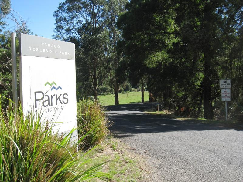 Tarago Reservoir Park - Entrance to Tarago Reservoir Park, Jindivick Rd at Reservoir Rd
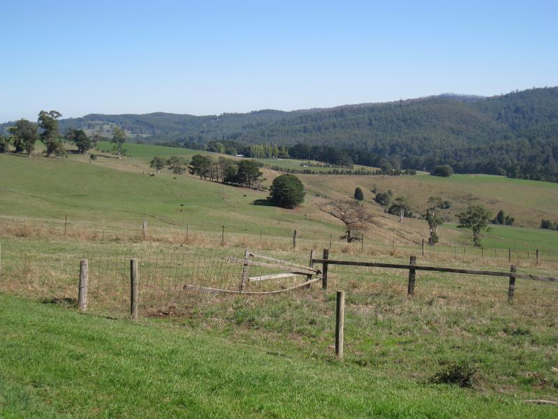
 Tarago Reservoir Park - Easterly view, Reservoir Rd south of main car park
 Tarago Reservoir Park - Picnic area between car park and reservoir
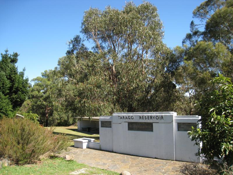 Tarago Reservoir Park - Tarago Reservoir sign at picnic area
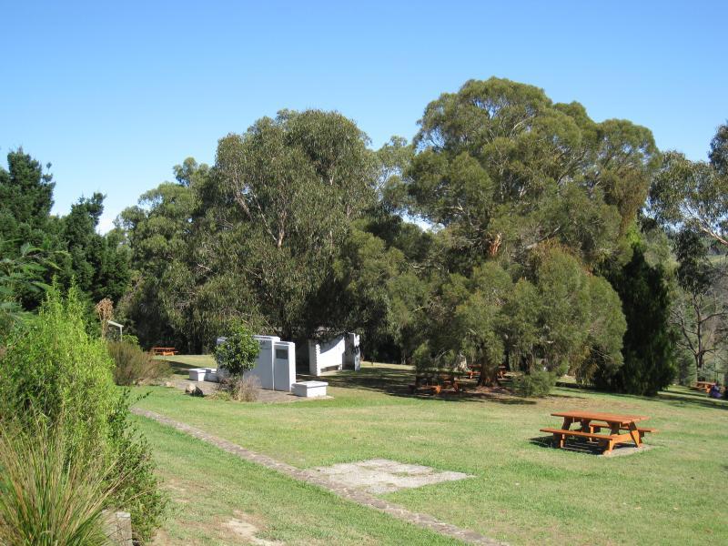 Tarago Reservoir Park - Picnic area
 Tarago Reservoir Park - Toilets at picnic area
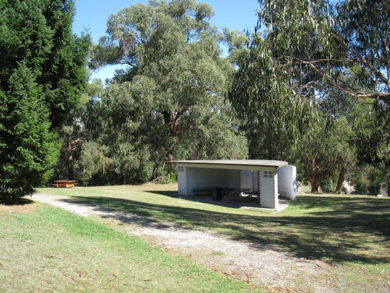 Tarago Reservoir Park - Shelter at picnic area
 Tarago Reservoir Park - BBQ and table at picnic area
 Tarago Reservoir Park - View down towards dam wall from picnic area
 Tarago Reservoir Park - Gate at entrance to dam wall
 Tarago Reservoir Park - View of reservoir along side of dam wall
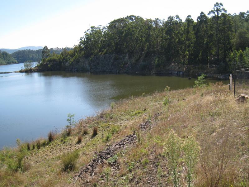 Tarago Reservoir Park - View north across reservoir from entrance to dam wall
 Tarago Reservoir Park - View towards dam wall
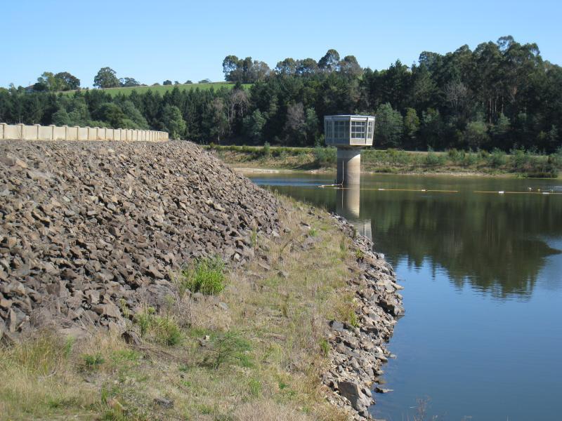
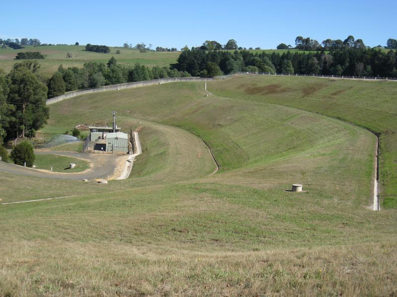 Tarago Reservoir Park - View along side of dam wall
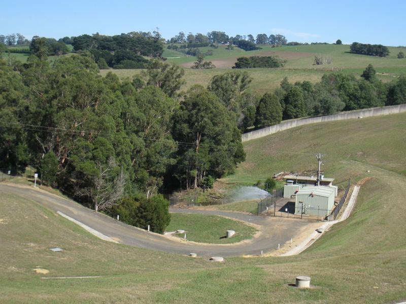 Tarago Reservoir Park - View of outlet at base of dam wall
 Tarago Reservoir Park - Water outlet into Tarago River at base of dam wall
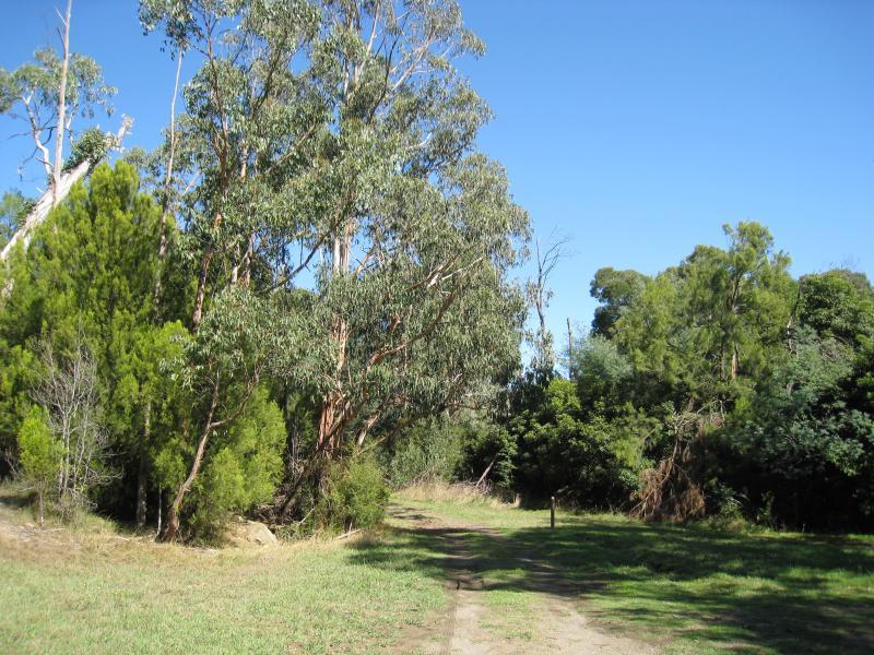 Tarago Reservoir Park - Walking track along Tarago River at base of dam wall
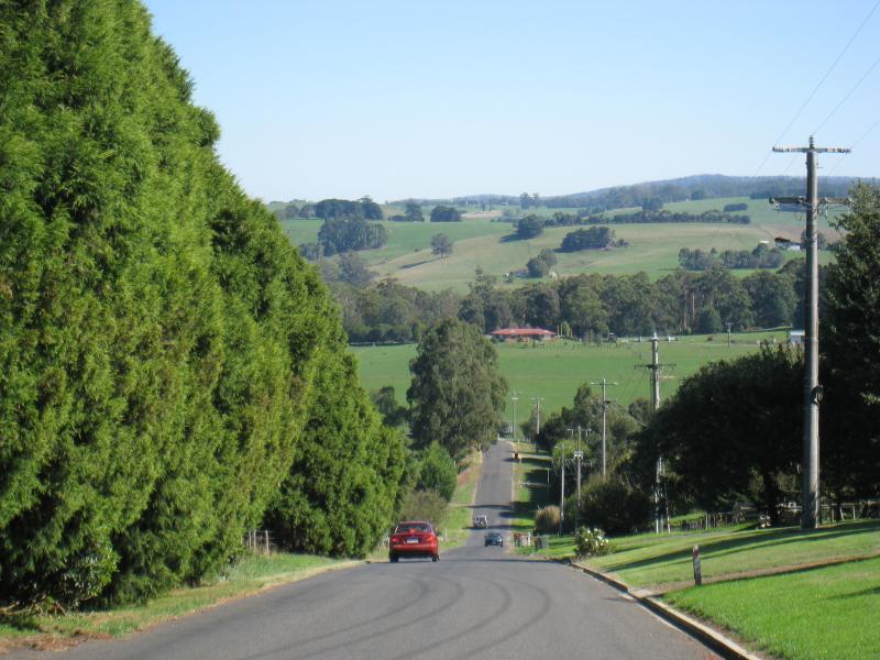
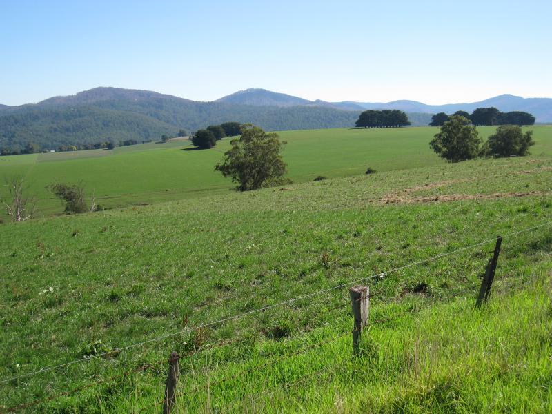
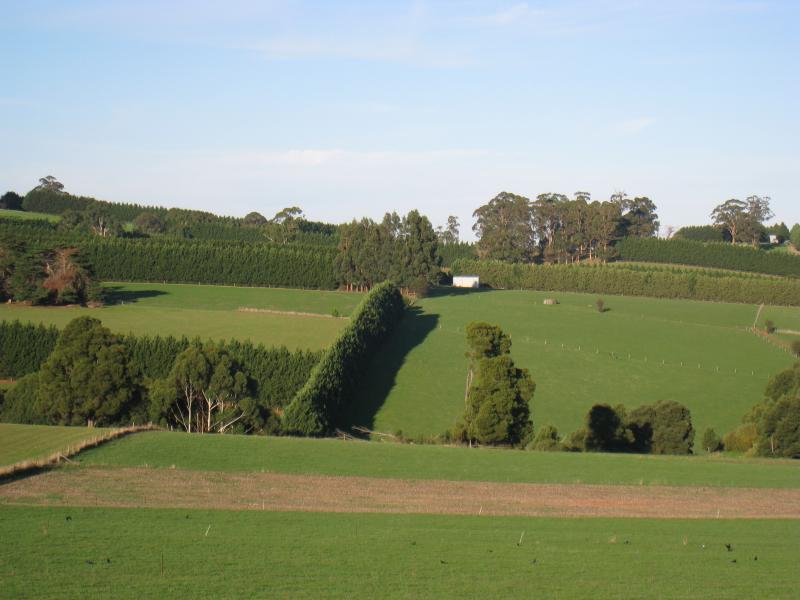
 Main Neerim Road, south of Neerim South - South-westerly view, Main Neerim Rd between Bloomfield Rd and Le Page Rd
 Main Neerim Road, south of Neerim South - North-westerly view, Main Neerim Rd between Bloomfield Rd and Le Page Rd
 Main Neerim Road, south of Neerim South - Westerly view, Main Neerim Rd between Brandy Creek Rd and Bloomfield Rd
 Main Neerim Road, south of Neerim South - Westerly view, Main Neerim Rd between Brandy Creek Rd and Bloomfield Rd
 Main Neerim Road, northern side of town - View north along Main Neerim Rd at Taraview Ct
 Main Neerim Road, northern side of town - View south along Main Neerim Rd at Eton Ct
 Main Neerim Road, northern side of town - View west along Eton Ct at Main Neerim Rd
 Main Neerim Road, northern side of town - View south along Main Neerim Rd at northern end of town
 Main Neerim Road, northern side of town - Easterly view at northern end of town
 Main Neerim Road, northern side of town - Easterly view at northern end of town
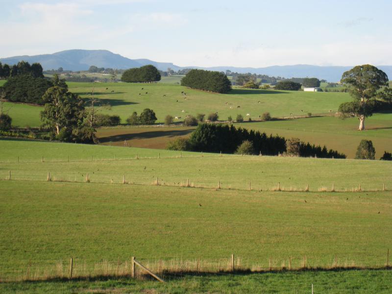
 Main Neerim Road, north of Neerim South - South-westerly view, a little north of town
 Main Neerim Road, north of Neerim South - Westerly view, a little north of town
 Main Neerim Road, north of Neerim South - North-westerly view, a little north of town
 Main Neerim Road, north of Neerim South - Easterly view, south of Sawyer Rd
 Main Neerim Road, north of Neerim South - Easterly view, south of Sawyer Rd
 Main Neerim Road, north of Neerim South - Easterly view, south of Sawyer Rd
 Main Neerim Road, north of Neerim South - South-westerly view, north of Sawyer Rd
 Main Neerim Road, north of Neerim South - North-westerly view, north of Sawyer Rd
 Main Neerim Road, north of Neerim South - North-westerly view, north of Sawyer Rd
 Small town of Neerim - War memorial in front of Neerim Cemetery
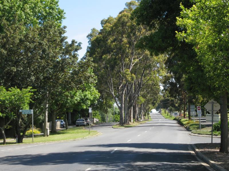
 Small town of Neerim - View north along Main Neerim Rd through town
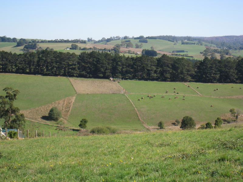
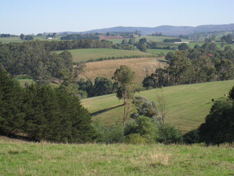
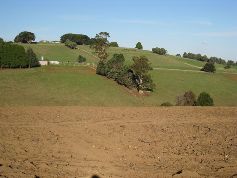 Small town of Neerim - Easterly view across potato field, north of Neerim East Rd
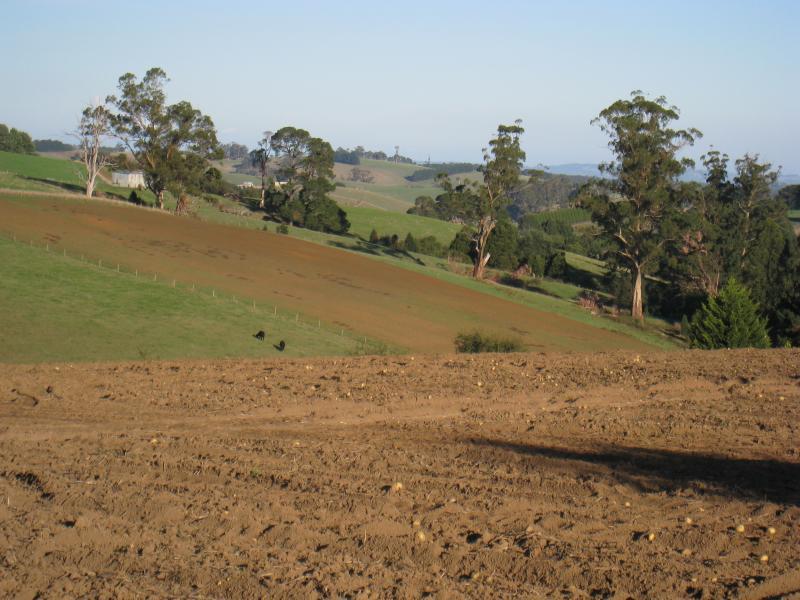 Small town of Neerim - South-easterly view across potato field, north of Neerim East Rd
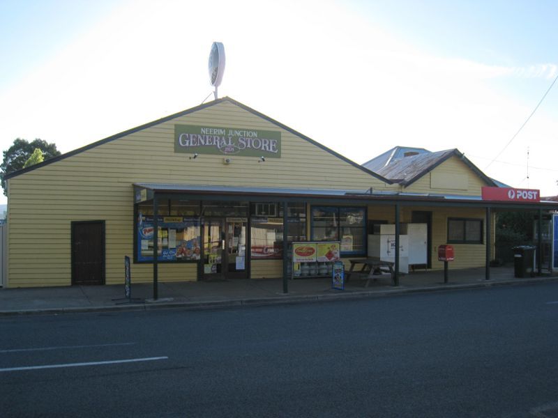 Town of Neerim Junction - General Store, west side of Main Neerim Rd
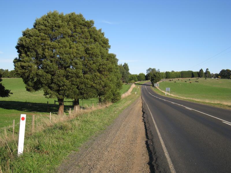 Town of Neerim Junction - View south along Main Neerim Rd, north of Neerim North Rd
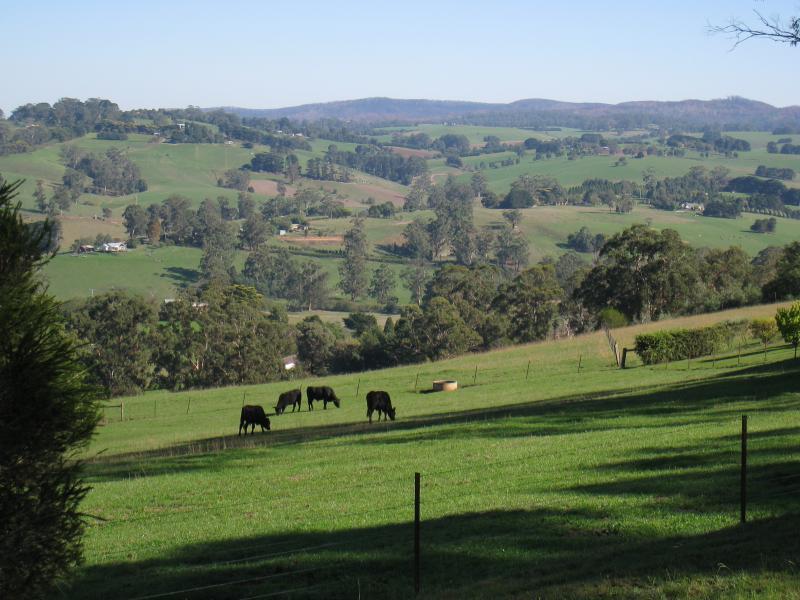
 Town of Neerim Junction - Cows grazing, west side of Main Neerim Rd, north of Neerim North Rd
 Town of Neerim Junction - Easterly view, Main Neerim Rd north of Neerim North Rd