Omeo - photos
Omeo
Stay
See and do
Food and drink
Shopping
Getting around
Visitor information
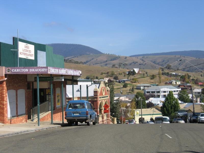
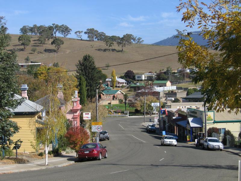
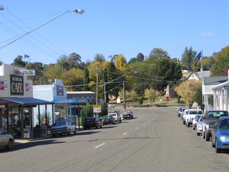
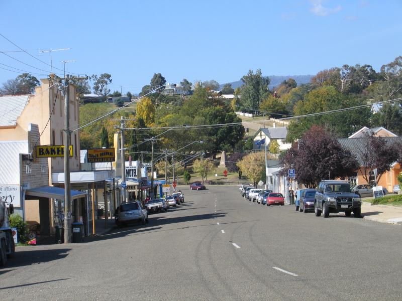
 Commercial centre and shops - View south along Day Av at Old Omeo Hwy
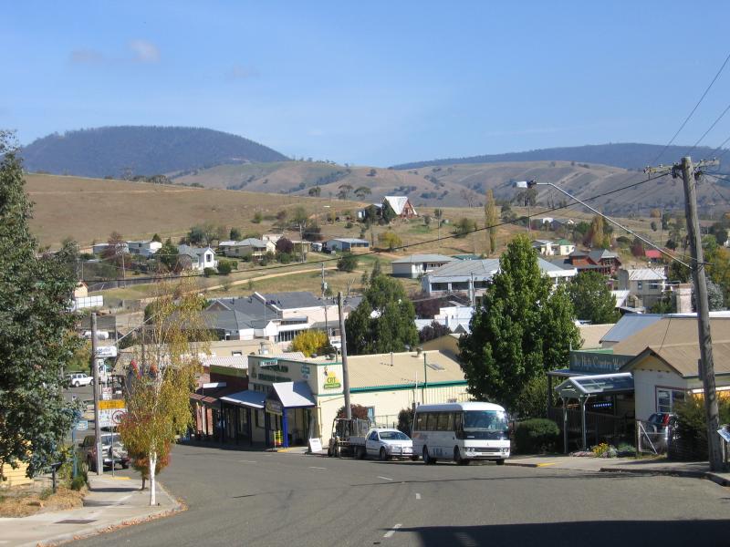
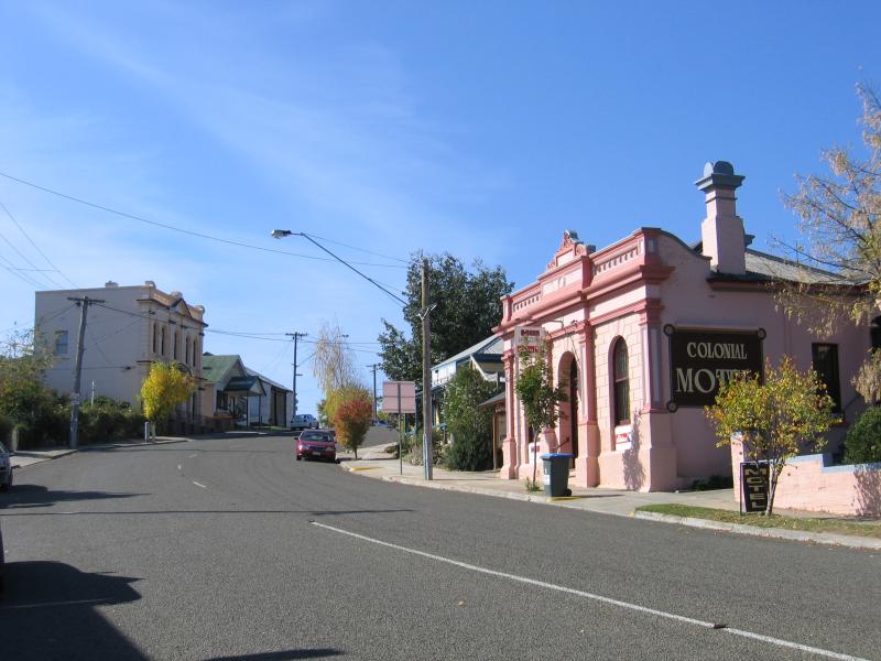
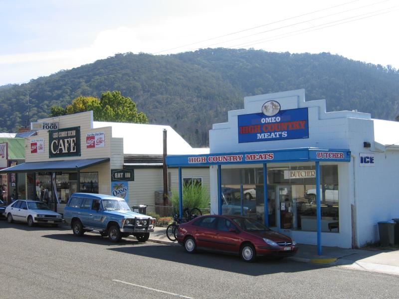
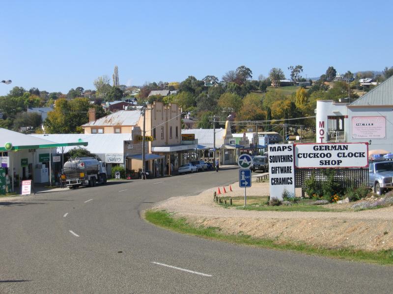
 Commercial centre and shops - View south along Day Av at Sebastopol Hill Rd
 Commercial centre and shops - View south along Bay Av towards Botany St
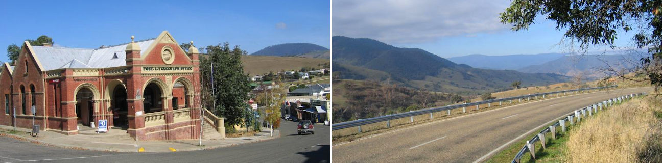
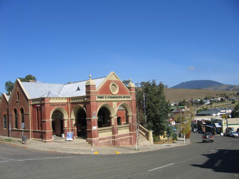 Commercial centre and shops - Omeo Post Office, view south along Day Av at Botany St
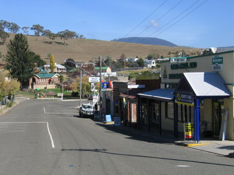
 Commercial centre and shops - View south along Day Av at Botany St
 Commercial centre and shops - View south along Day Av between Botany St and Short St
 Commercial centre and shops - View north along Day Av between Botany St and Short St
 Commercial centre and shops - View south along Day Av between Botany St and Short St
 Commercial centre and shops - View of Omeo Primary School and explorer Angus McMillan monument from Day Av
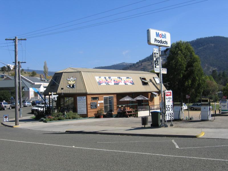 Commercial centre and shops - Crazy Cow Cafe, Day Av opposite Short St
 Commercial centre and shops - View west along Day Av at Short St
 Commercial centre and shops - View east along Day Av towards Short St
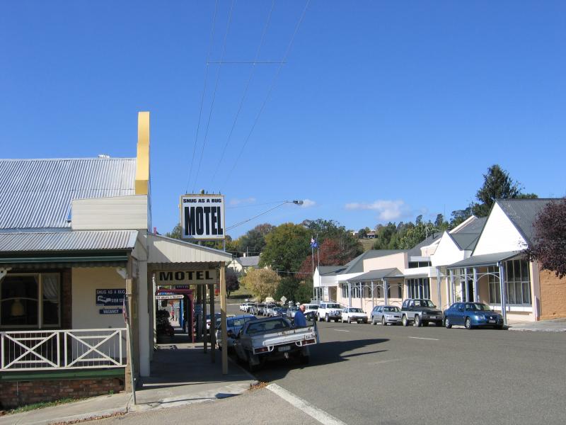
 Commercial centre and shops - View west along Day Av between Short St and Creek St
 Commercial centre and shops - View east along Day Av at Creek St
 Commercial centre and shops - View north along Creek St at Day Av
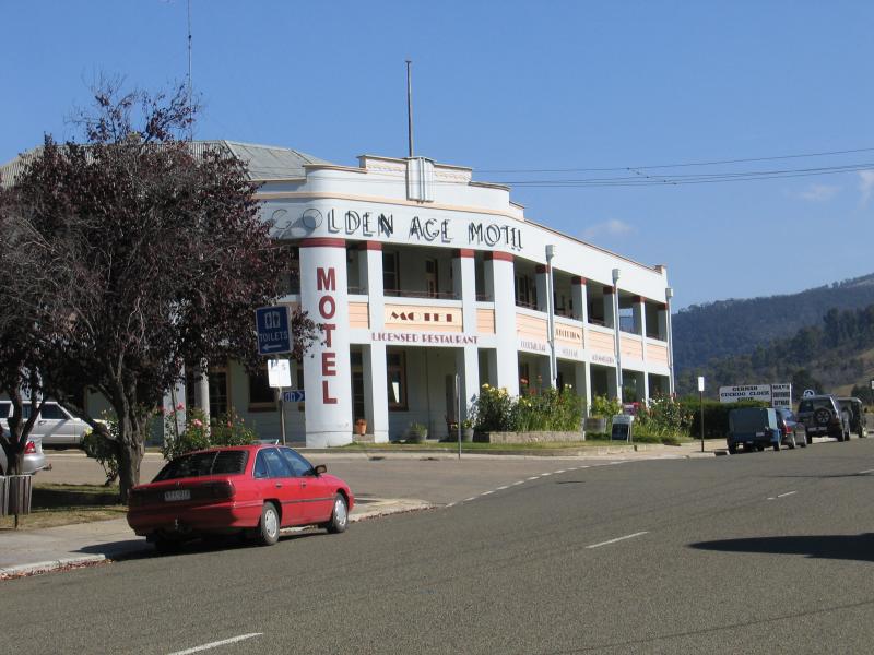 Commercial centre and shops - Golden Age Motel, view west along Day Av at Tongio Rd
 Commercial centre and shops - View west along Day Av at Tongio St
 Commercial centre and shops - View east along Day Av towards Tongio St
 Commercial centre and shops - View east along Day Av, west of Tongio St
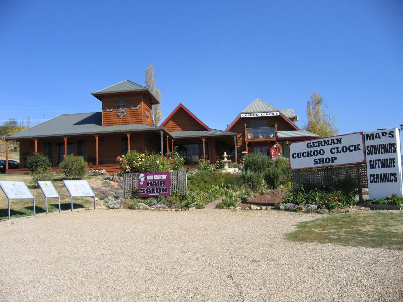 Commercial centre and shops - German Cuckoo Clock Shop, Day Av, west of Tongio St
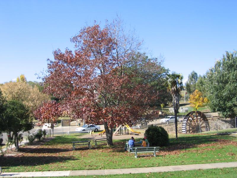
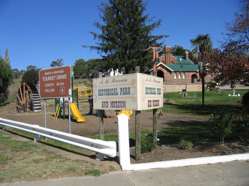 A.M. Pearson Historical Park, Day Avenue at Short Street - View of park from corner of Day Av and Short St
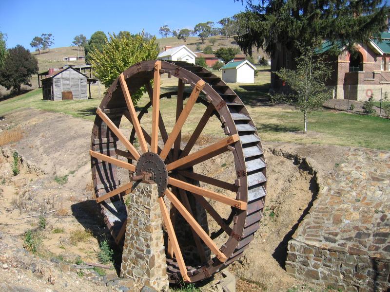 A.M. Pearson Historical Park, Day Avenue at Short Street - Water wheel
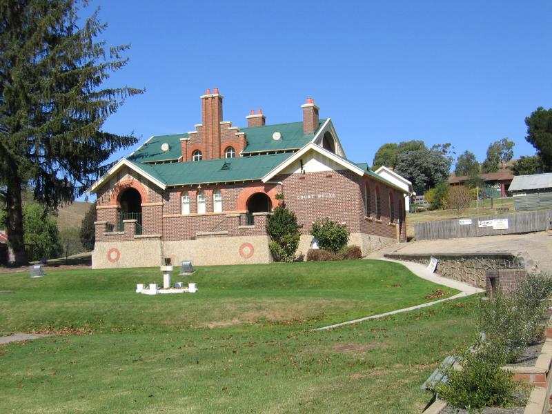 A.M. Pearson Historical Park, Day Avenue at Short Street - Court House
 A.M. Pearson Historical Park, Day Avenue at Short Street - View east through park towards Short St
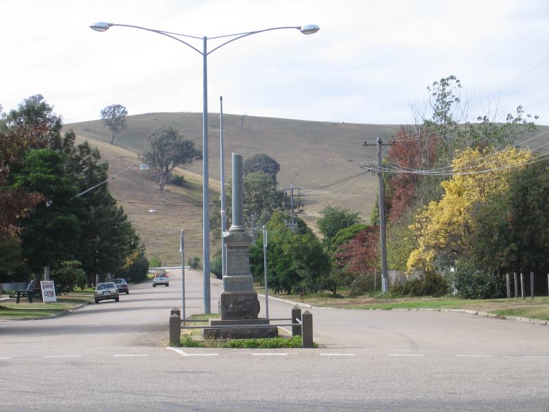
 Recreation Reserve at Livingstone Creek - War memorial fronting Day Av opposite Short St
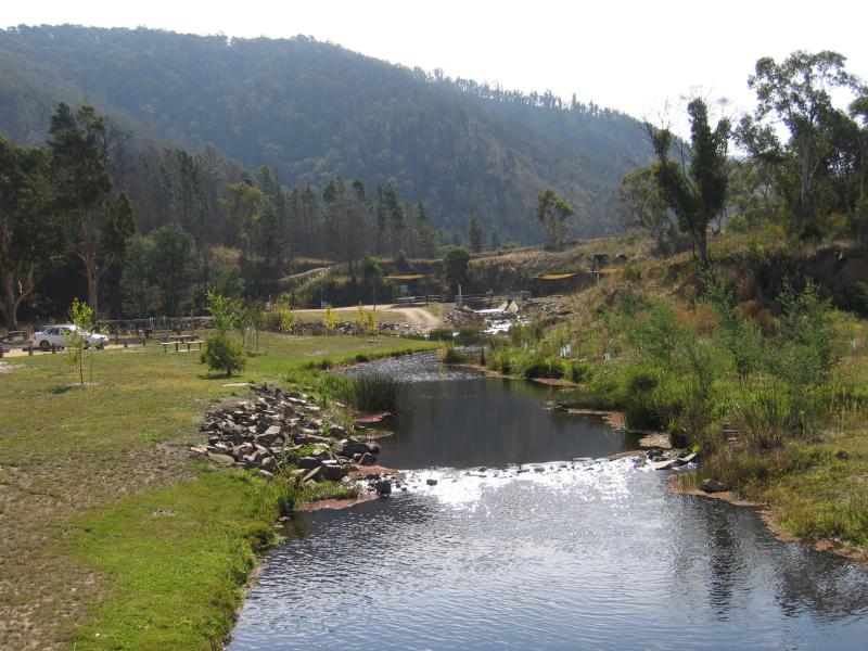 Recreation Reserve at Livingstone Creek - View along Livingstone Creek towards swimming lake
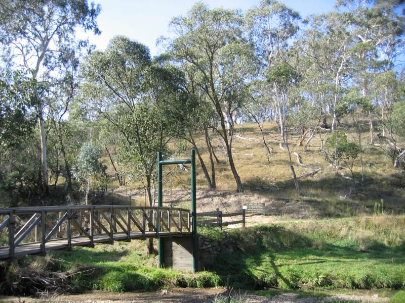
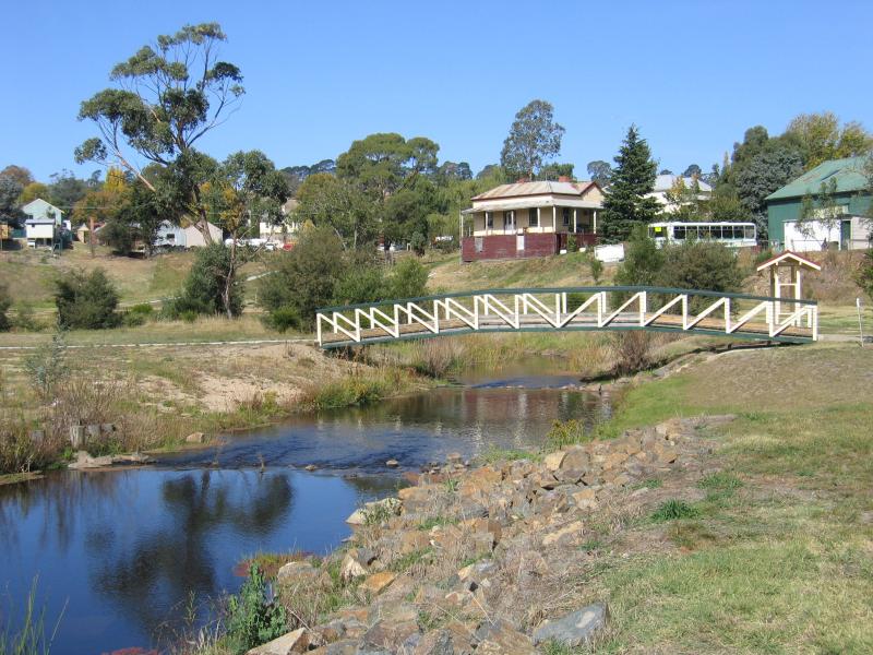 Recreation Reserve at Livingstone Creek - Footbridge over creek
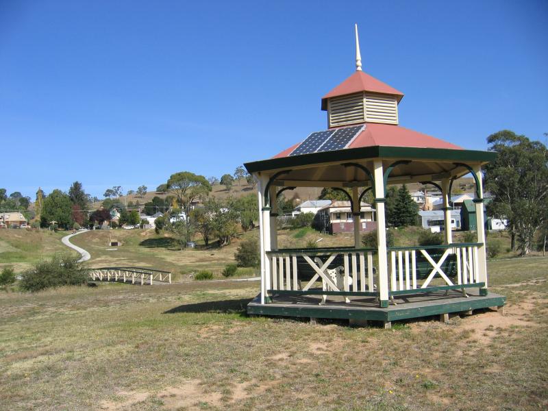 Recreation Reserve at Livingstone Creek - Rotunda
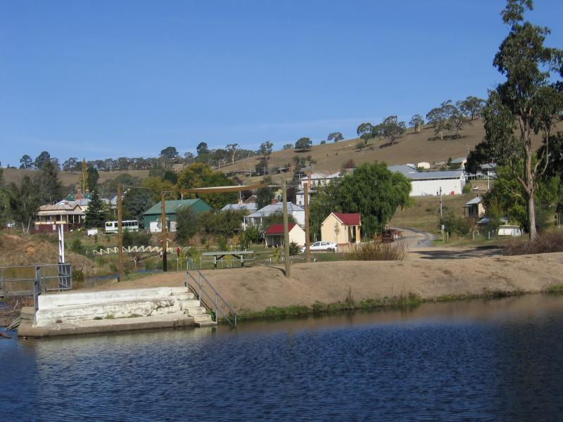
 Recreation Reserve at Livingstone Creek - View along creek towards town centre
 Recreation Reserve at Livingstone Creek - Swimming lake
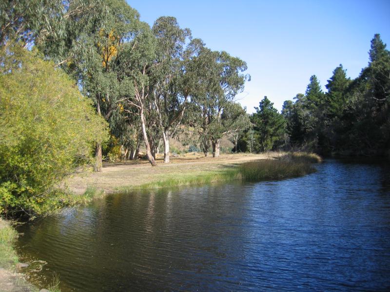 Recreation Reserve at Livingstone Creek - View along creek near swimming lake
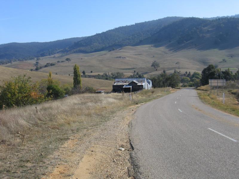
 Around Omeo - View north along Omeo Hwy at northern end of town
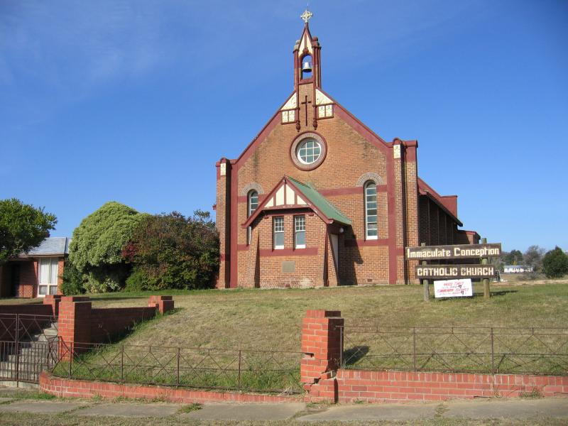 Around Omeo - Catholic Church, Day Av north of Park St
 Around Omeo - Recreation reserve, Park St at Day Av
 Around Omeo - View north-east through recreation reserve, Park St at Day Av
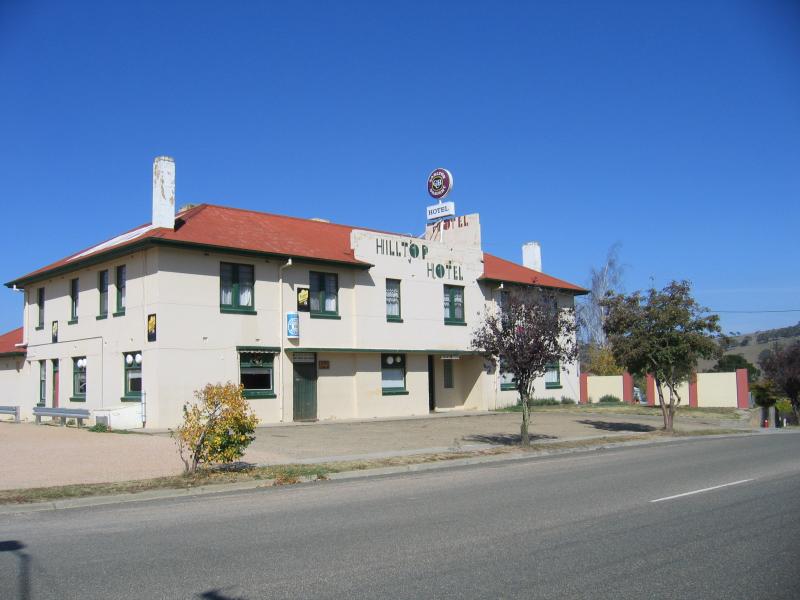 Around Omeo - Hilltop Hotel, corner Day Av and Park St
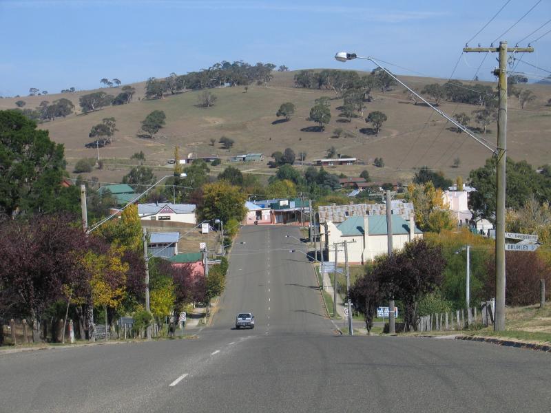 Around Omeo - View south along Day Av towards Brumley St
 Benambra Road - View west along Benambra Rd towards Omeo Hwy
 Benambra Road - South-east view, Benambra Rd near McMillans Lookout
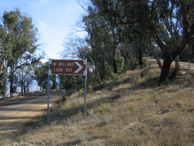 McMillans Lookout, Benambra Road - Entrance to lookout, Benambra Road
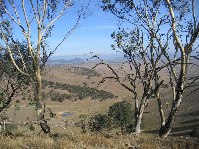
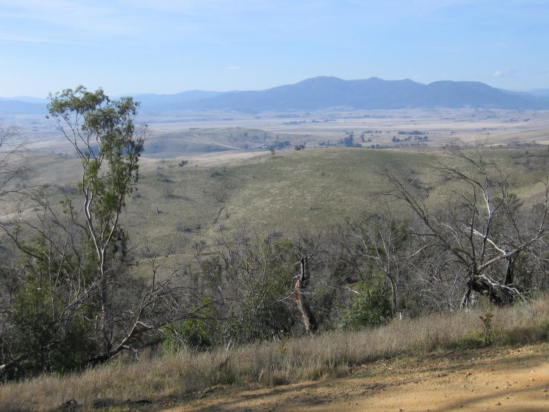 McMillans Lookout, Benambra Road - View from lookout
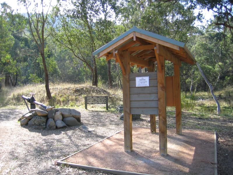 Oriental Claims, Great Alpine Road, west of Omeo - Picnic area and start of walking tracks
 Oriental Claims, Great Alpine Road, west of Omeo - Bridge over creek
 Great Alpine Road, west of Omeo - Northerly views across Great Alpine Rd between Bazeley St and Creek St
 Great Alpine Road, west of Omeo - View east along Great Alpine Rd towards town from Bazeley St
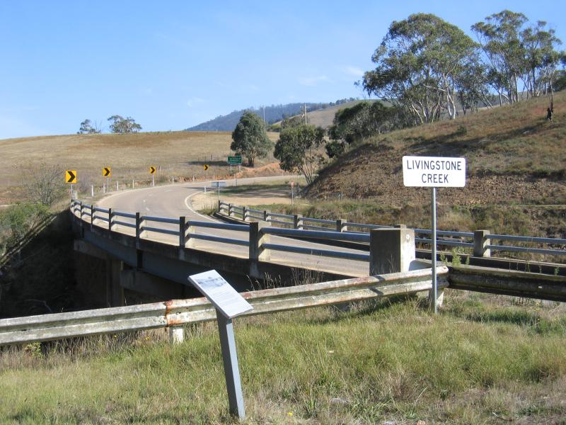 Great Alpine Road, west of Omeo - Bridge across Livingstone Creek, 2 km west of town centre
 Great Alpine Road, west of Omeo - Old bridge across Livingstone Creek, 2 km west of town centre
 Great Alpine Road, west of Omeo - View west along Great Alpine Rd, west of Swifts Creek Rd
 Great Alpine Road, west of Omeo - View north-east to Omeo from Great Alpine Rd, 3½ km west of town
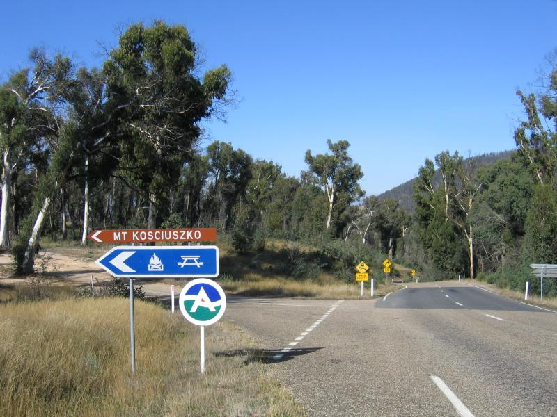 Kosciusko Lookout, Great Alpine Road west of Omeo - Turn-off for lookout
 Kosciusko Lookout, Great Alpine Road west of Omeo - Information shelter
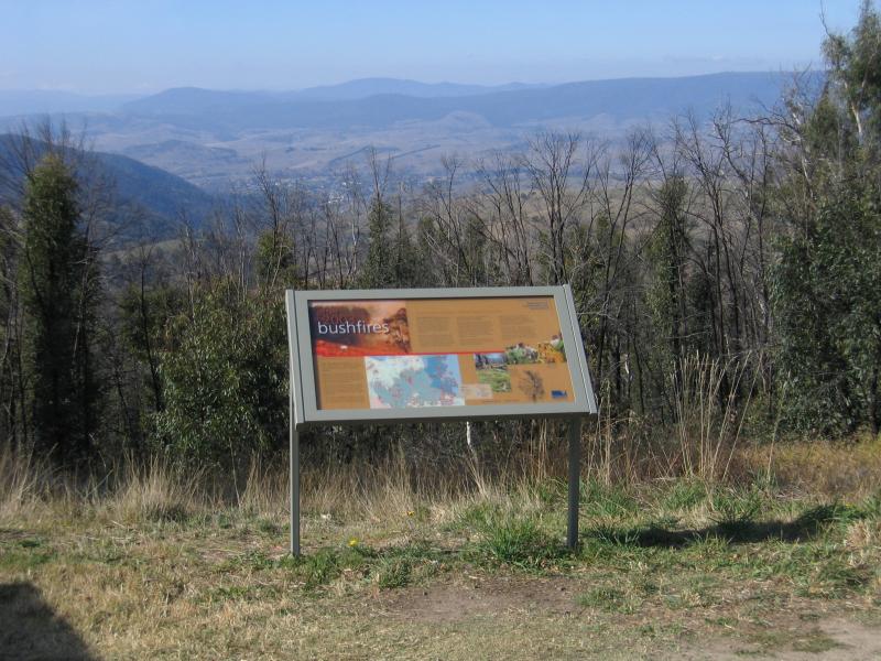 Kosciusko Lookout, Great Alpine Road west of Omeo - View north-east towards Omeo
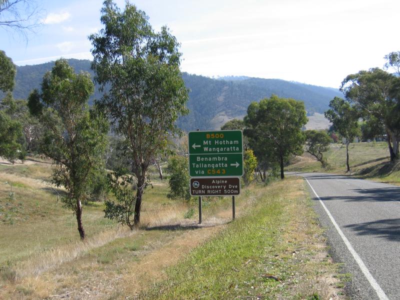 Great Alpine Road between Swifts Creek and Omeo - View north-west along Great Alpine Rd between Day Av and Omeo Hwy
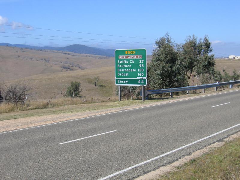 Great Alpine Road between Swifts Creek and Omeo - View south-east along Great Alpine Rd, south of Omeo Hwy
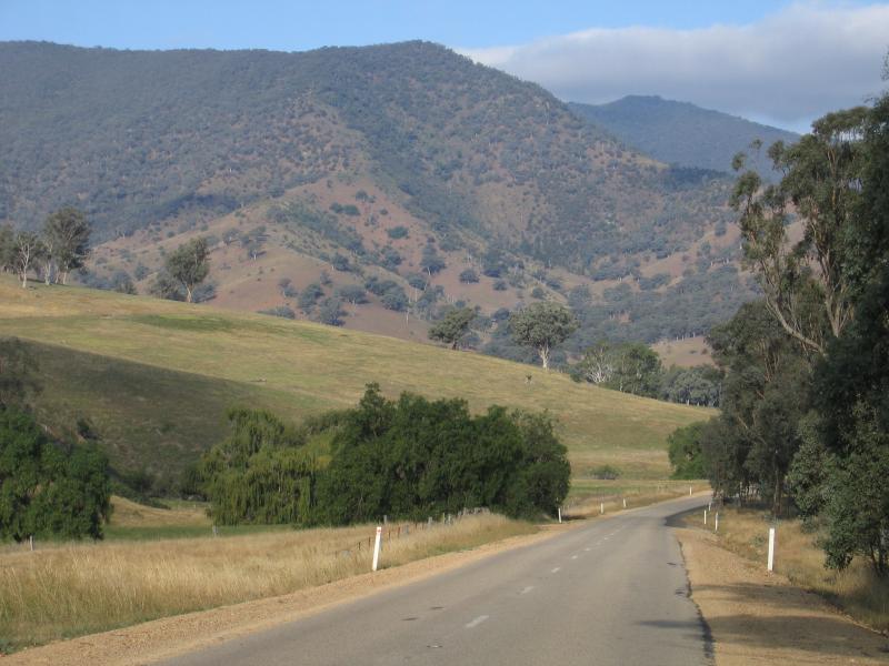
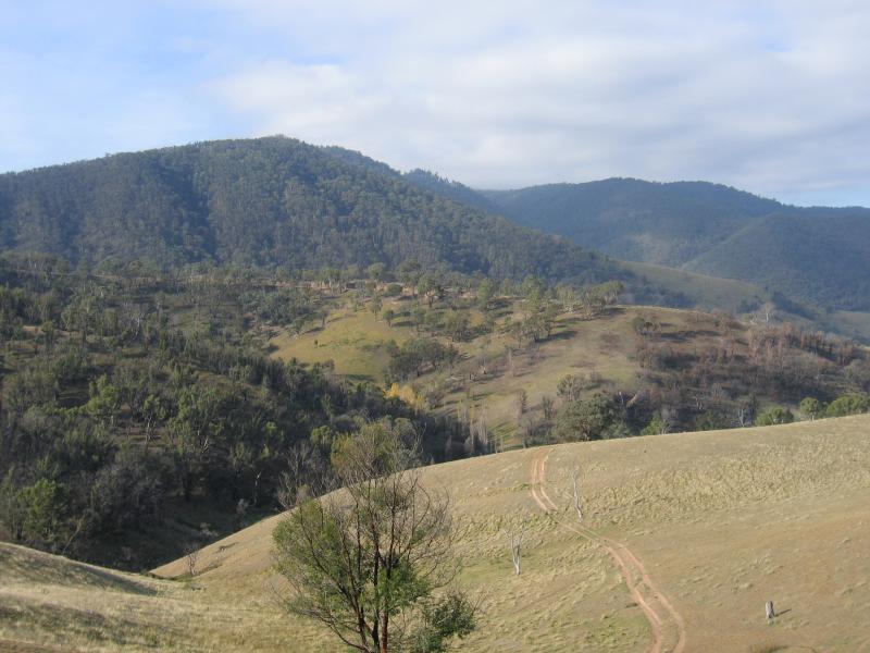 Great Alpine Road between Swifts Creek and Omeo - North-east views, 12 km from Omeo
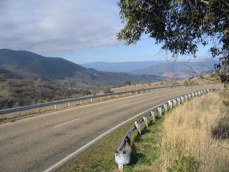 Great Alpine Road between Swifts Creek and Omeo - View south-east along Great Alpine Rd, 12 km from Omeo
 Great Alpine Road between Swifts Creek and Omeo - View south-east along Great Alpine Rd, north of Bindi Rd
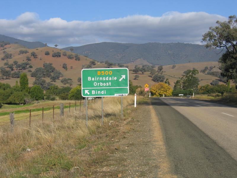 Great Alpine Road between Swifts Creek and Omeo - View south-east along Great Alpine Rd towards Bindi Rd
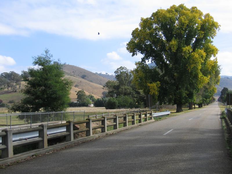 Town of Swifts Creek - View north-west from bridge at Swifts Creek
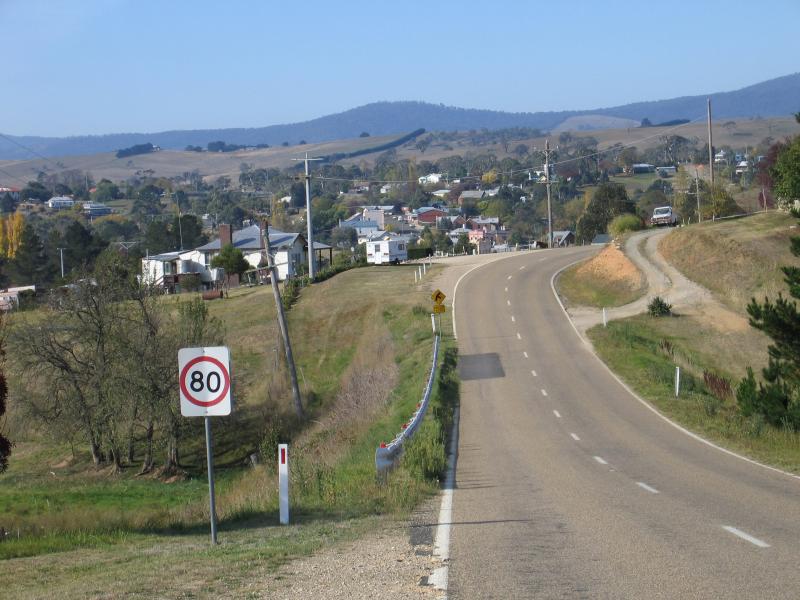
 Town of Swifts Creek - View south-east along Great Alpine Rd towards Omeo Rd
 Town of Swifts Creek - View north-east along McMillans Rd at Great Alpine Rd
 Great Alpine Road between Ensay and Swifts Creek - Entrance to Conners Hill Lookout
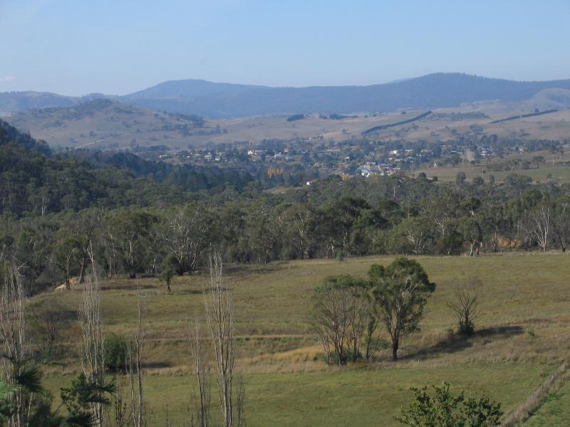
 Great Alpine Road between Ensay and Swifts Creek - View west from Conners Hill Lookout
 Great Alpine Road between Ensay and Swifts Creek - View south-west along Great Alpine Rd, north of Ensay
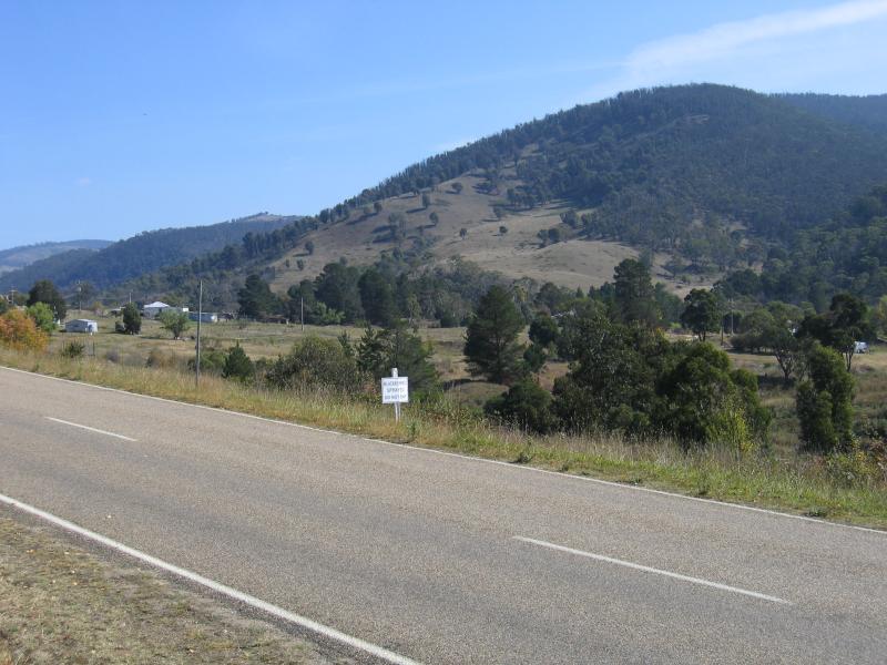
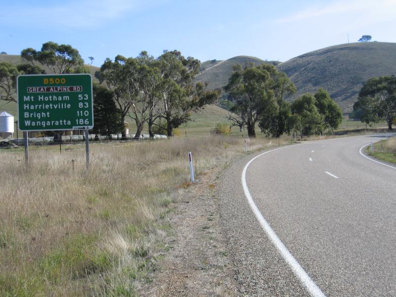
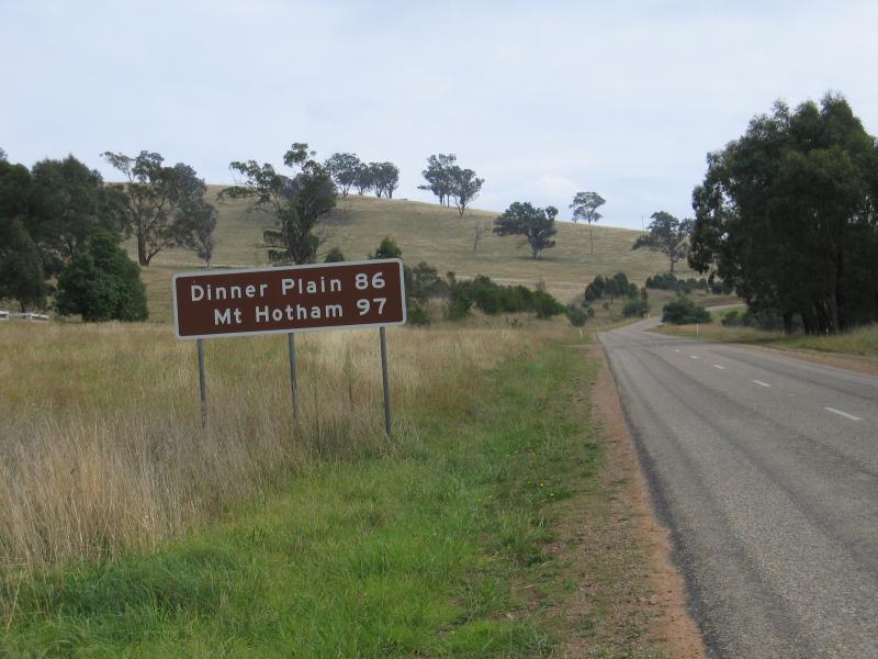 Great Alpine Road between Ensay and Swifts Creek - Alpine resort sign, north of Ensay
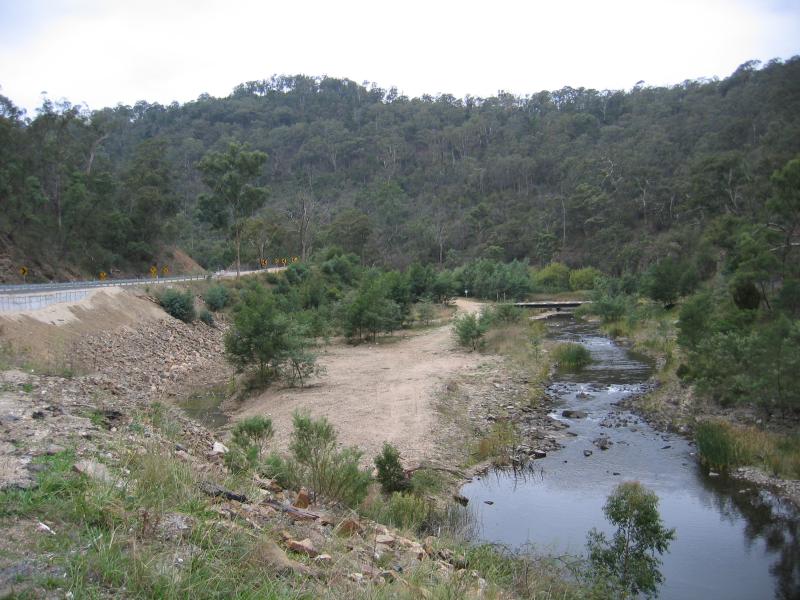 Great Alpine Road between Tambo Crossing and Ensay - View north along Tambo River near Battle Point
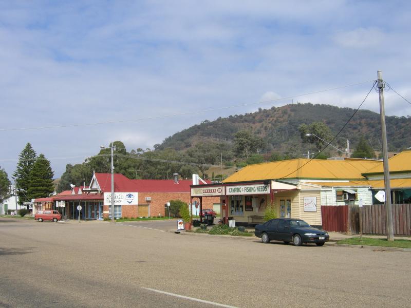
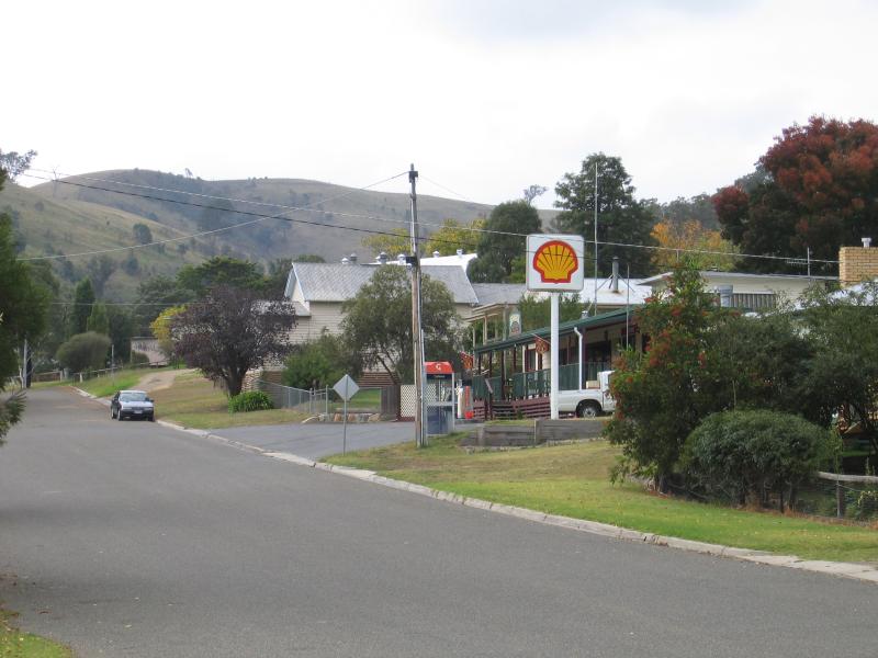 Town of Ensay - Ensay town centre