Orbost - public transport
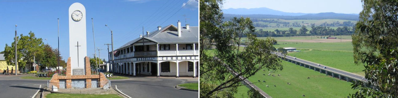
Orbost
Stay
See and do
Food and drink
Shopping
Getting around
Visitor information
Train
Bairnsdale station
(120 km away)
| Line | Operator | Timetable and stops | Map |
|---|---|---|---|
| Bairnsdale |  |
Bairnsdale - Melbourne Via Bairnsdale, Stratford, Sale, Rosedale, Traralgon, Morwell, Moe, Warragul, Drouin, Garfield, Pakenham, Dandenong, Caulfield, Richmond, Flinders Street, Southern Cross |
Bus
Taxi
| Operator | Areas covered | Phone |
|---|---|---|
| Orbost & Snowy River Taxis | Marlo, Orbost | 0474 464 431 |
Air
| Airport | Distance | Destinations | Airlines |
|---|---|---|---|
| Merimbula (New South Wales) |
206 km |
|
|
| Canberra (A.C.T.) |
362 km | Within Australia | |
| International |
|
||
| Albury (New South Wales) |
378 km |
|
|
| Melbourne (Tullamarine) |
393 km | Within Australia | |
| International |
|
||
| Avalon (Geelong) |
425 km |
|