Parkville - photos
Parkville
Stay
See and do
Food and drink
Shopping
Getting around
Visitor information
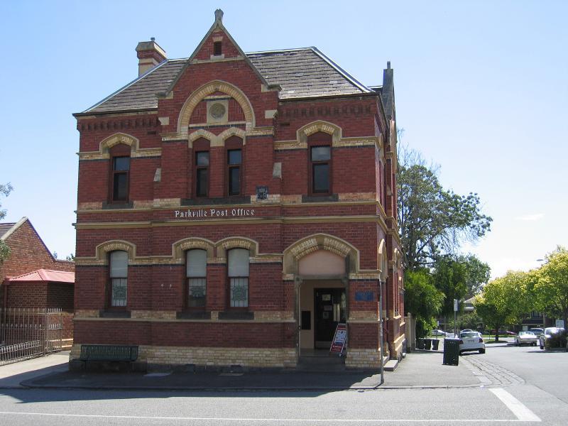
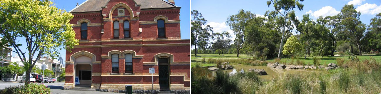
Parkville Post Office, corner Bayles St and Fitzgibbon St
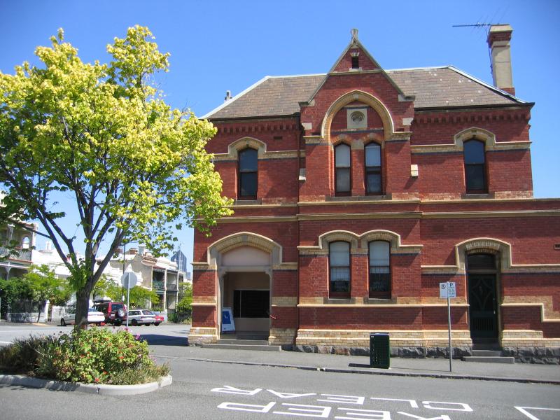
Parkville Post Office, corner Bayles St and Fitzgibbon St
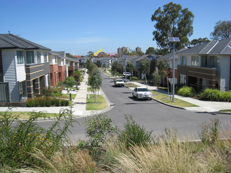
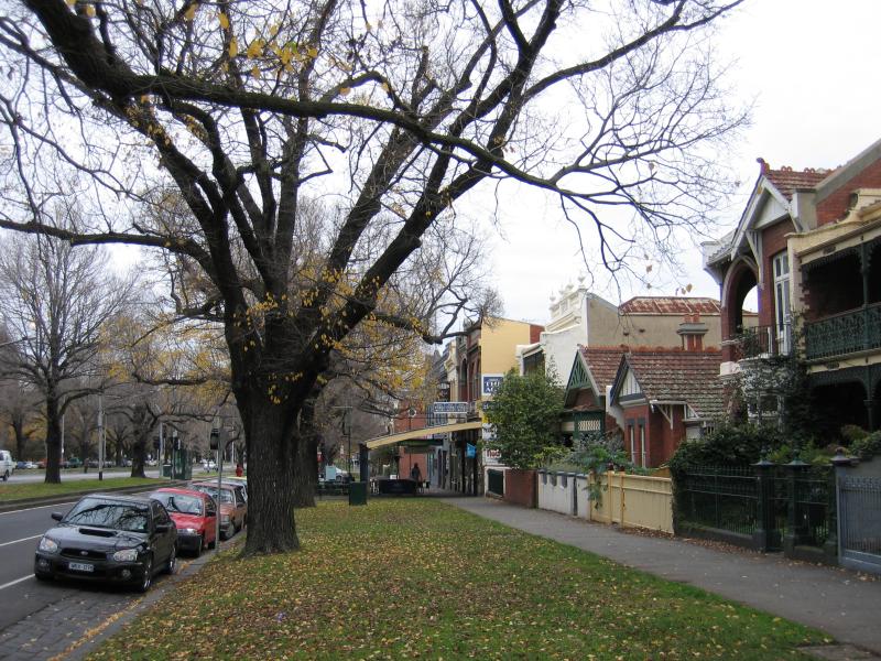
View south along Fitzgibbon St between Bayles St and Morrah St
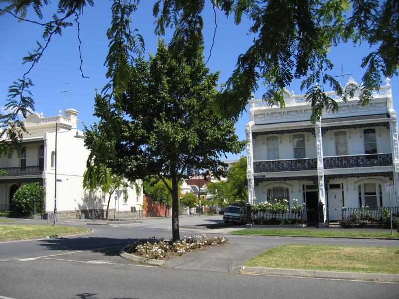
View south along Fitzgibbon St at Morrah St
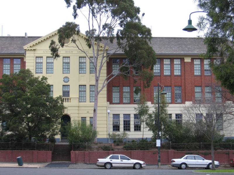
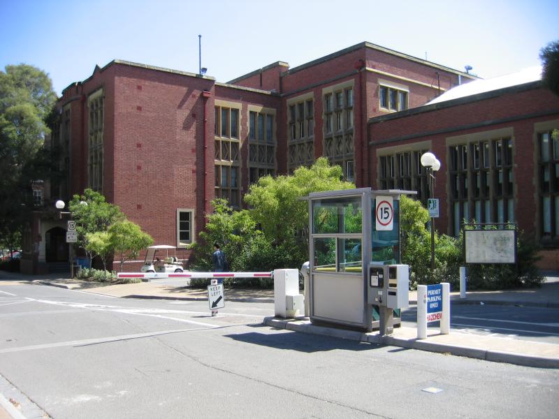
The University High School, entrance on Story St opposite Benjamin St
The University High School oval viewed from Story St near Fitzgibbon St
View north-east along Gatehouse St near Flemington Rd
View south along Sauvage St
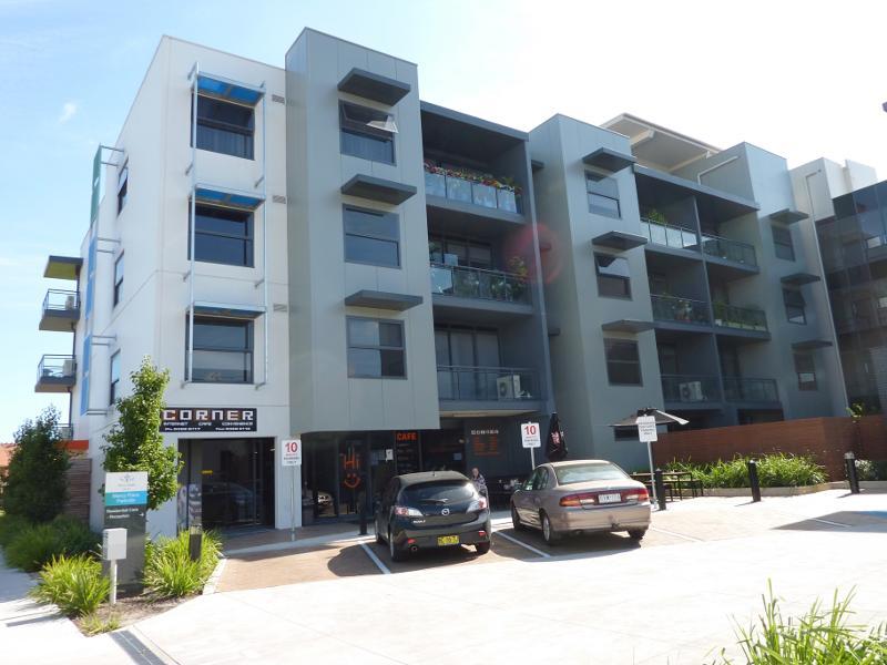
Apartments and cafe, west side of Willam St
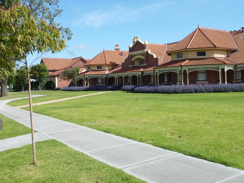
Heritage villas, Cade Way opposite Willam St
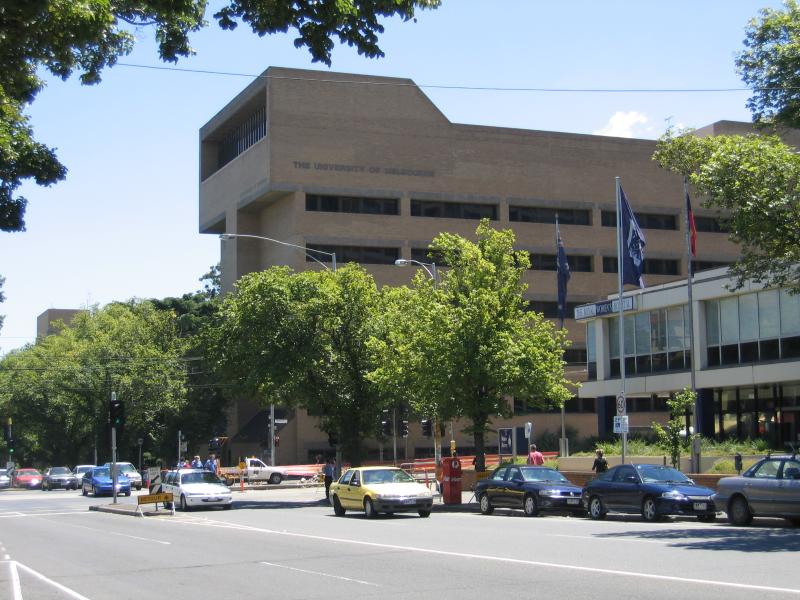
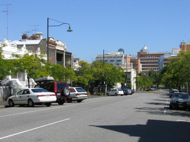
View west along Grattan St at Swanston St towards Royal Womens Hospital and Melbourne University
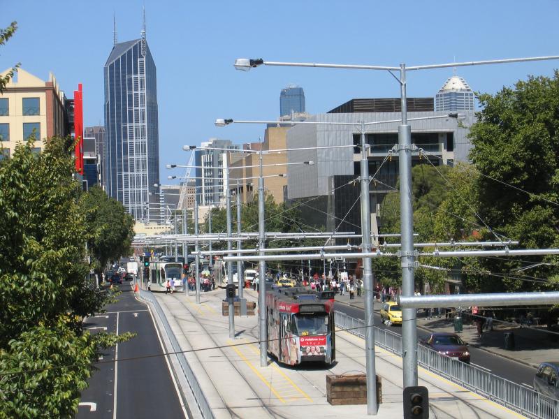
View south along Swanston St from footbridge at Elgin St
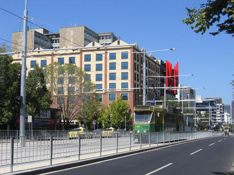
View south along Swanston St towards Faraday St
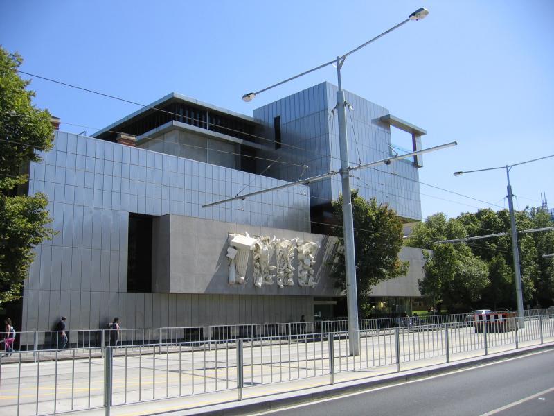
View west along Monash Rd towards Richard Berry building
View west along Monash Rd towards Sidney Myer Asia Centre
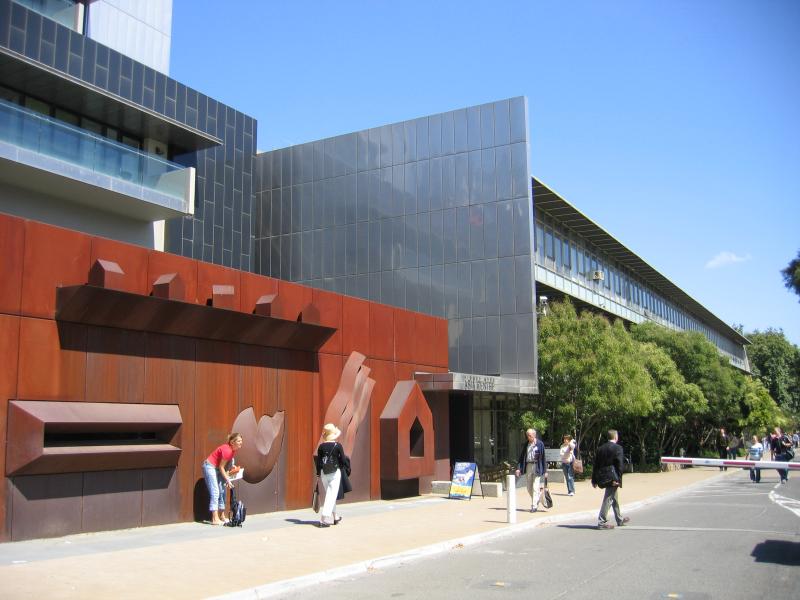
View north along Swanston St towards Ian Potter Museum of Art
Raymond Priestley Building
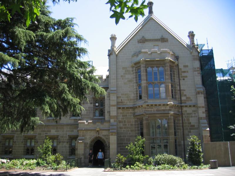
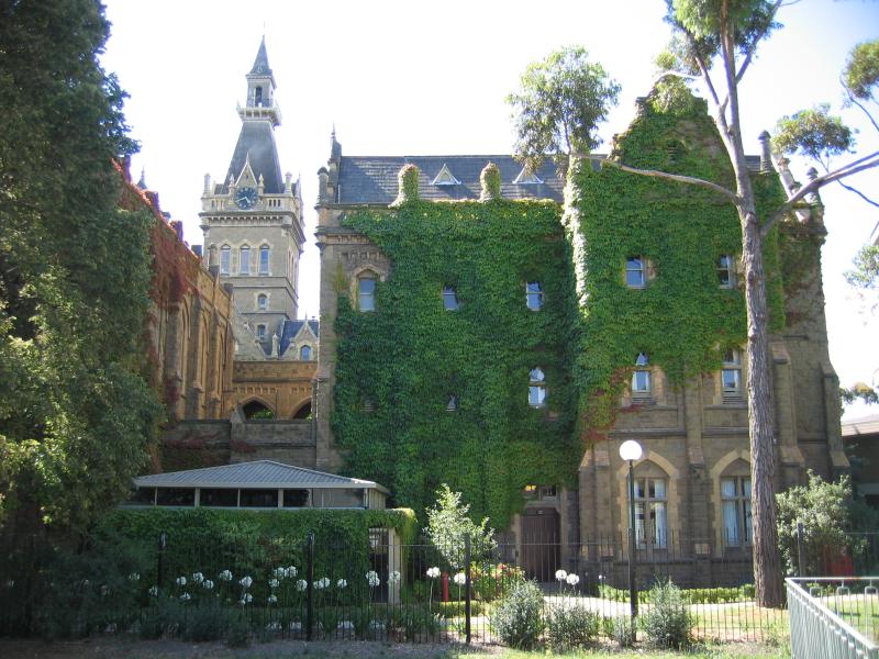
Old Quadrangle Building
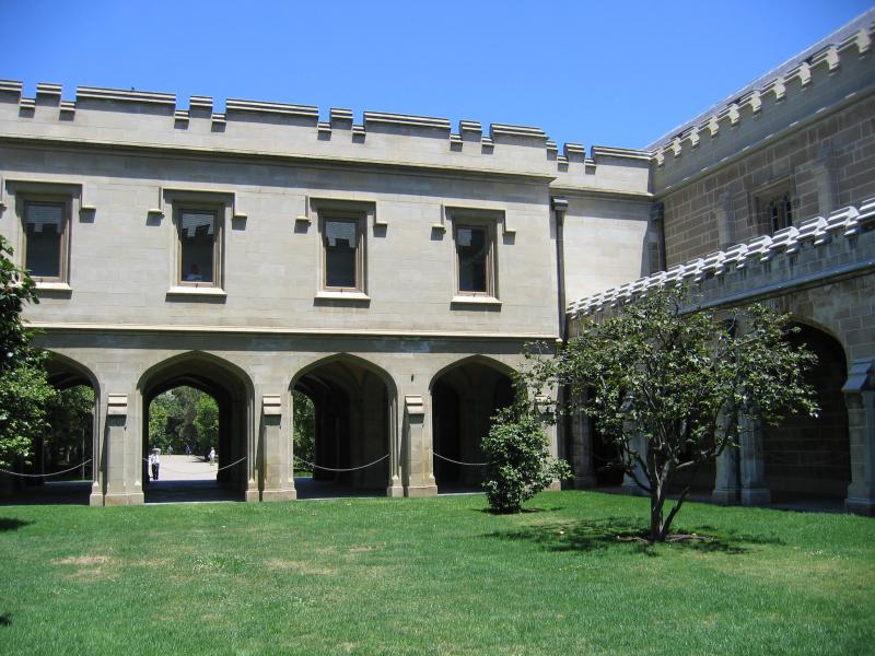
Old Quadrangle Building
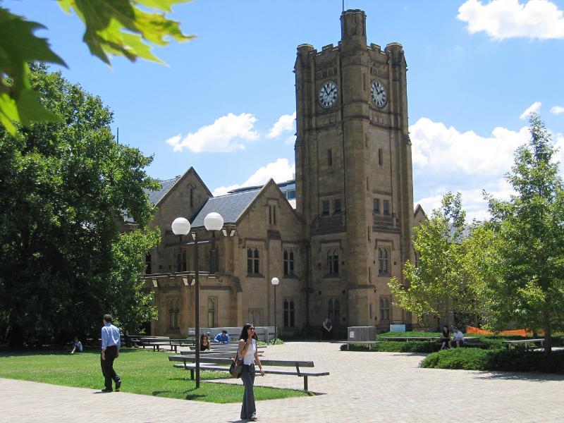
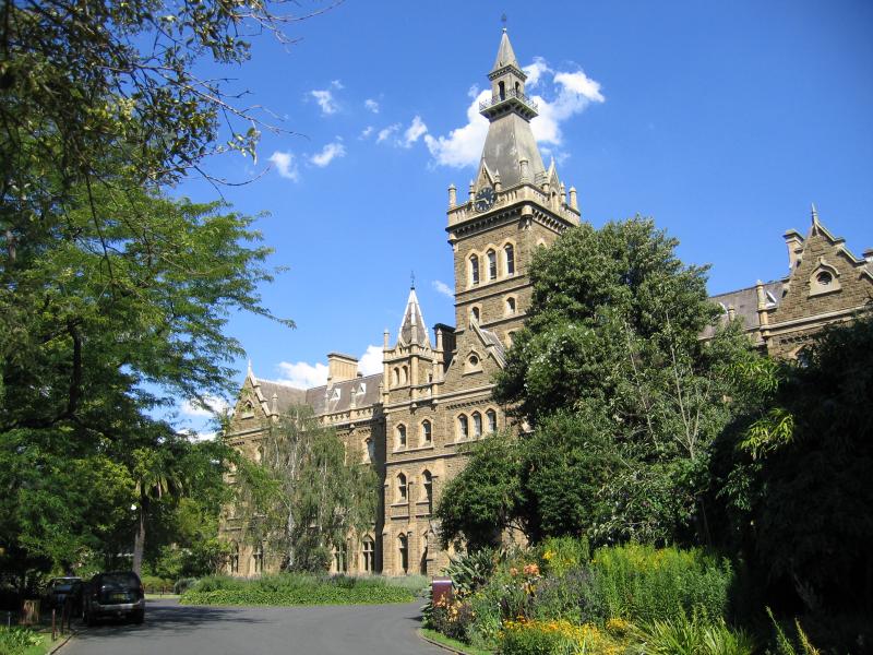
Clock tower at Old Arts Building
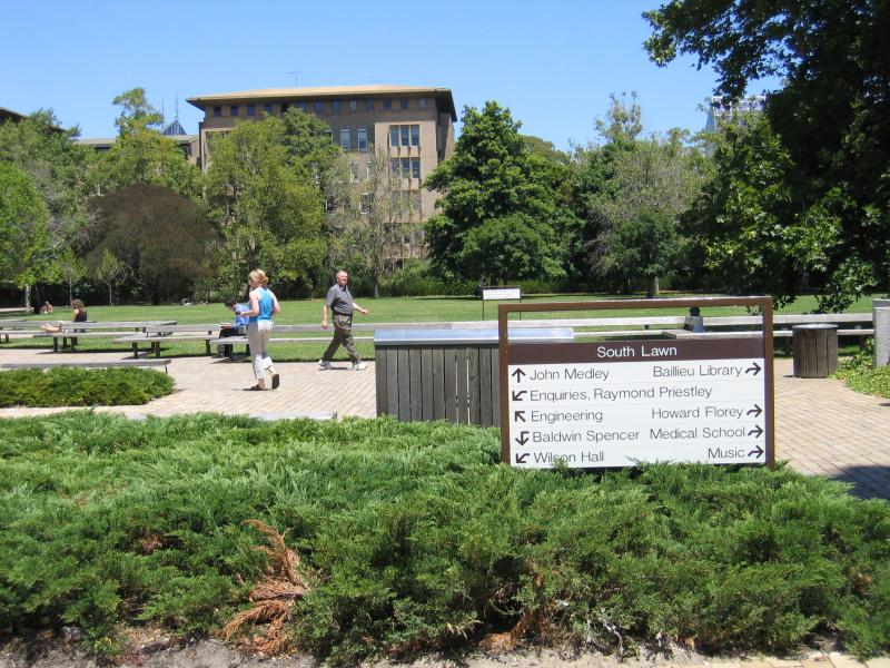
View south across South Lawn
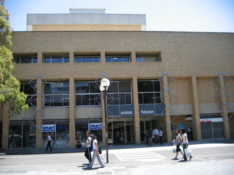
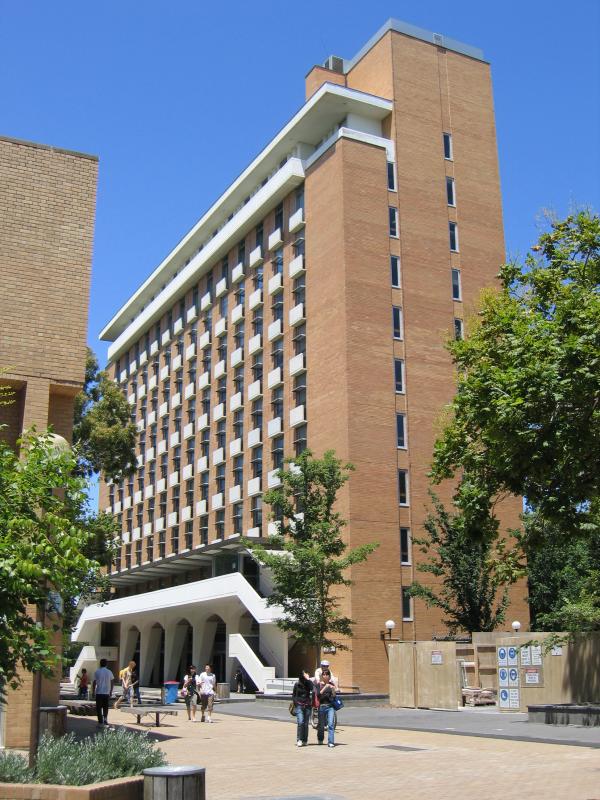
Union House, entrance on east side
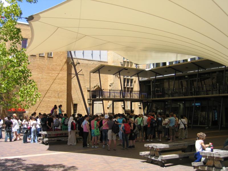
North Court at Union House
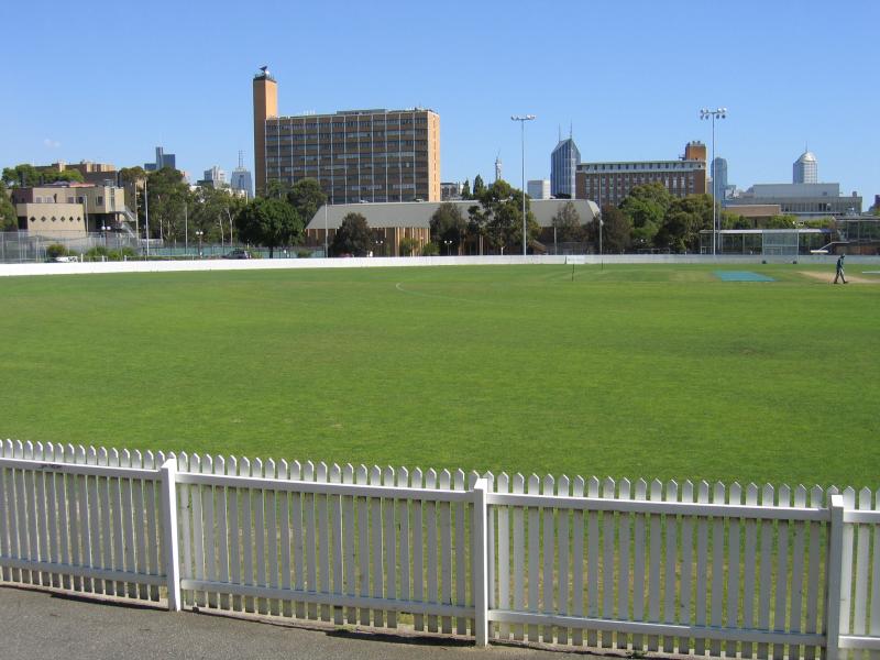
View south across cricket ground
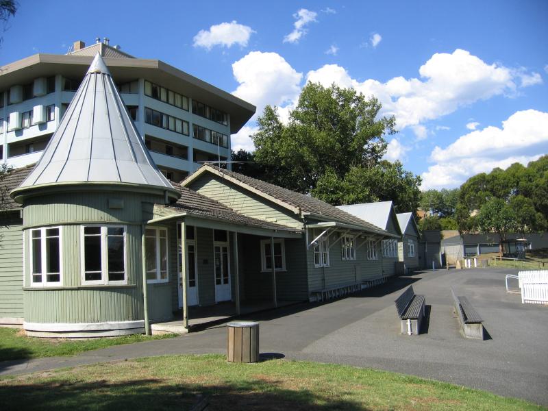
Club house at cricket ground
View towards Ormond College from cricket ground
Ormond College, main building
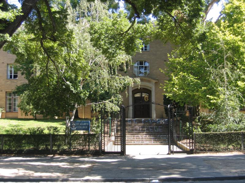
St Marys College, Swanston St
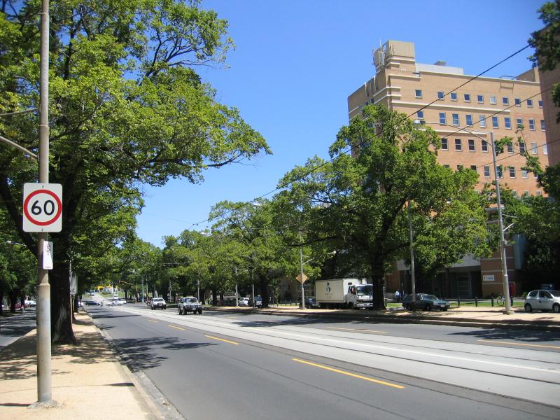
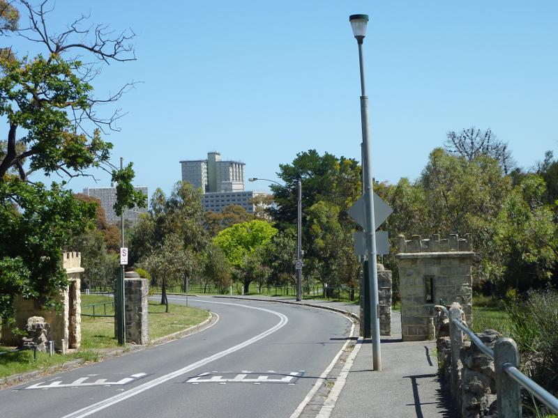
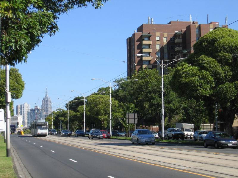
View south along Royal Parade at Grattan St
View south along Royal Parade towards Royal Melbourne Hospital and Grattan St
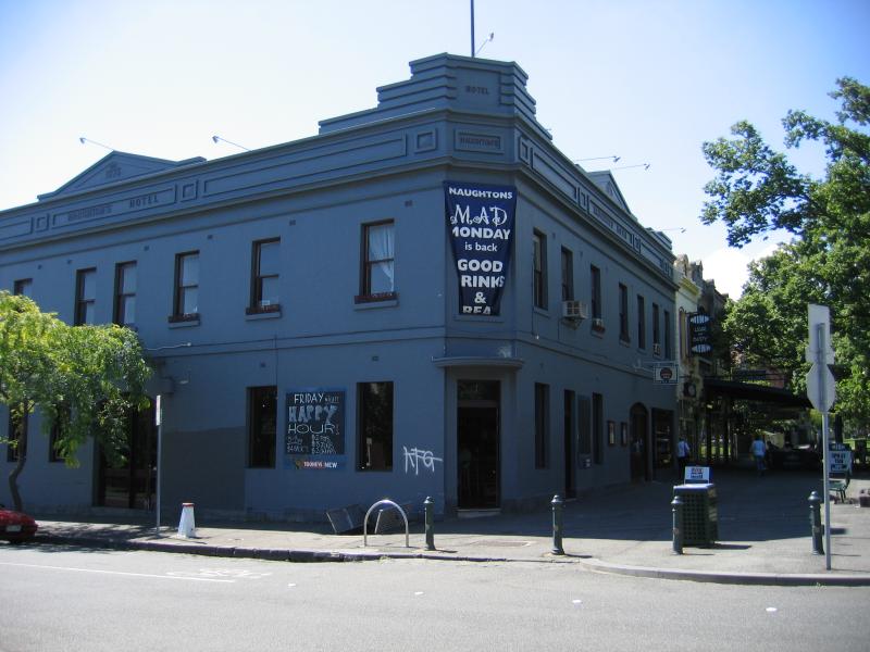
Naughtons Hotel, corner Morrah St and Royal Parade
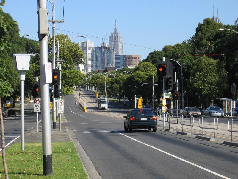
View south along Royal Pde towards Morrah St
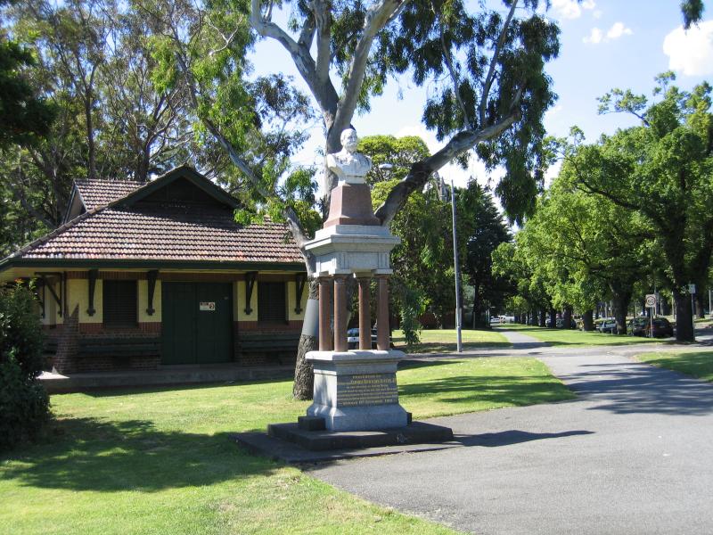
View north along Royal Parade towards The Avenue and memorial statue
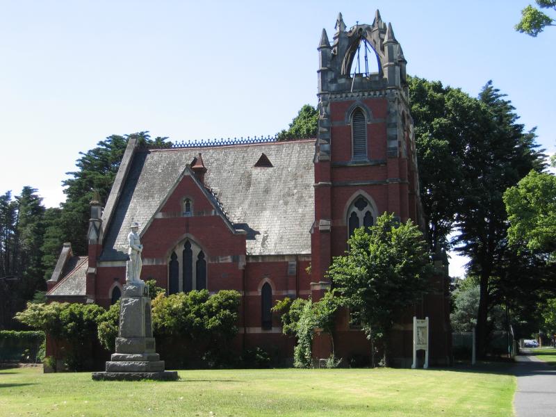
Russian Orthodox Church, Royal Parade at The Avenue
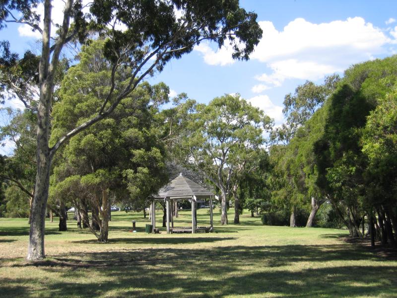
Rotunda
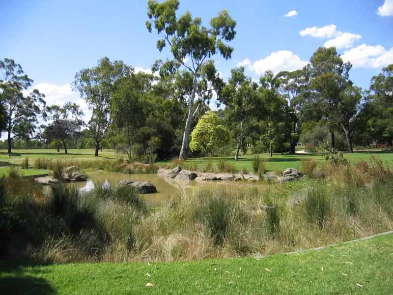
Lake
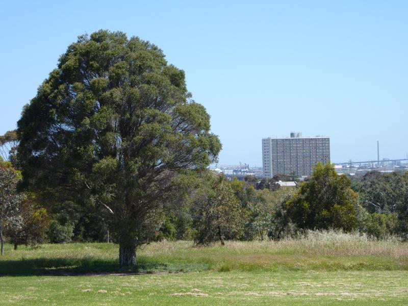
View towards Royal Childrens Hospital from north-west side of grassland
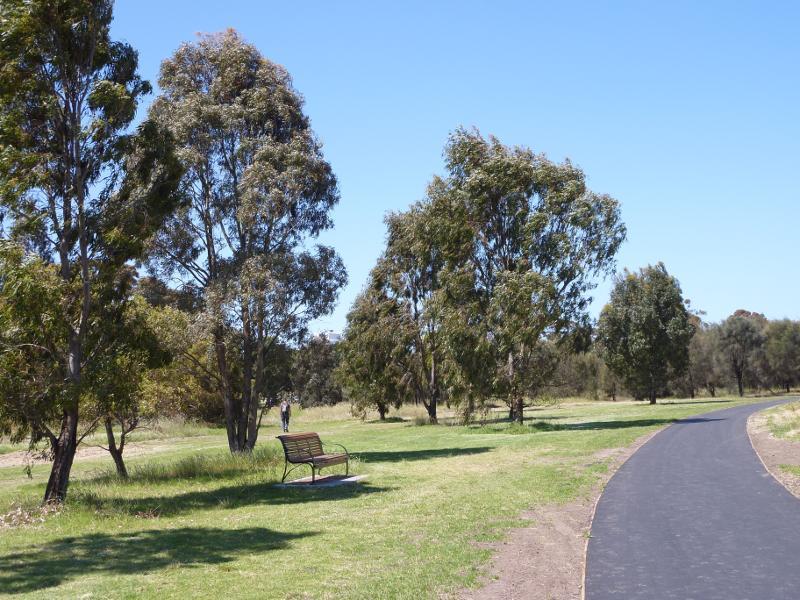
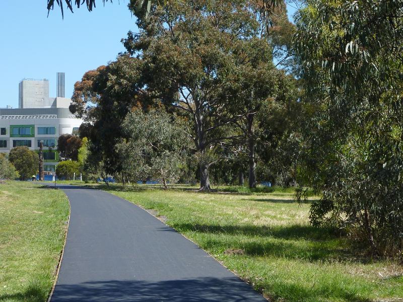
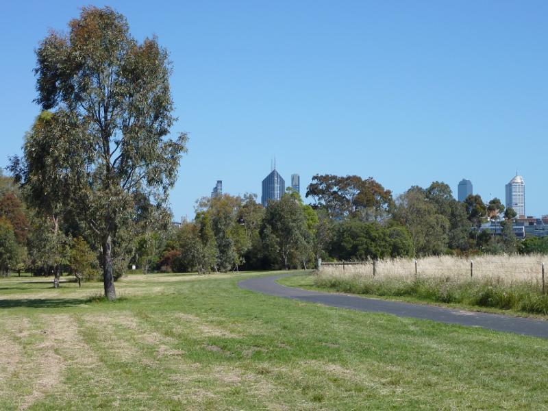
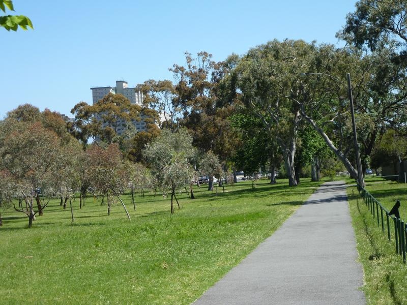
Path along northern side of grassland
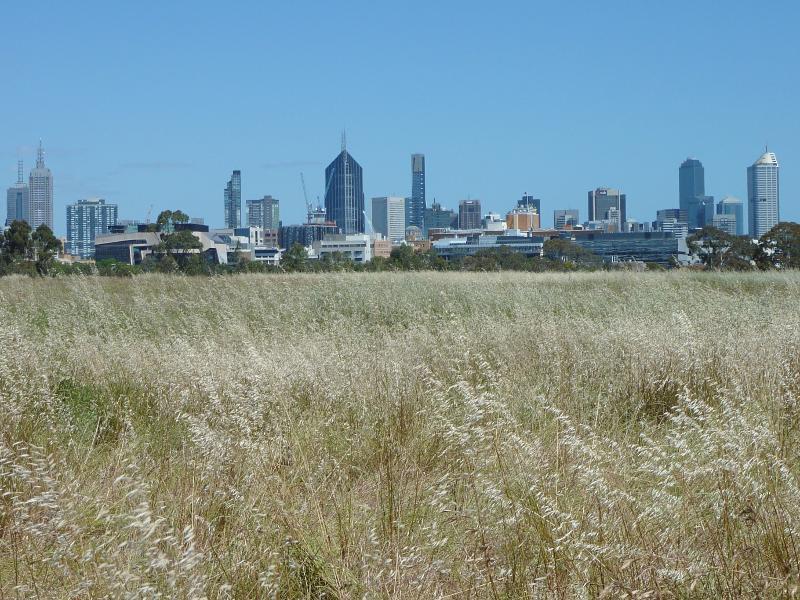
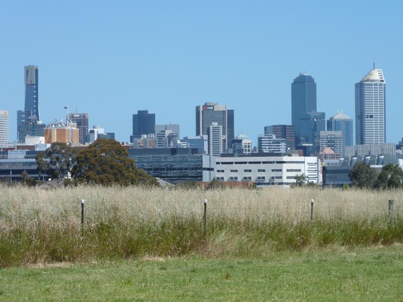
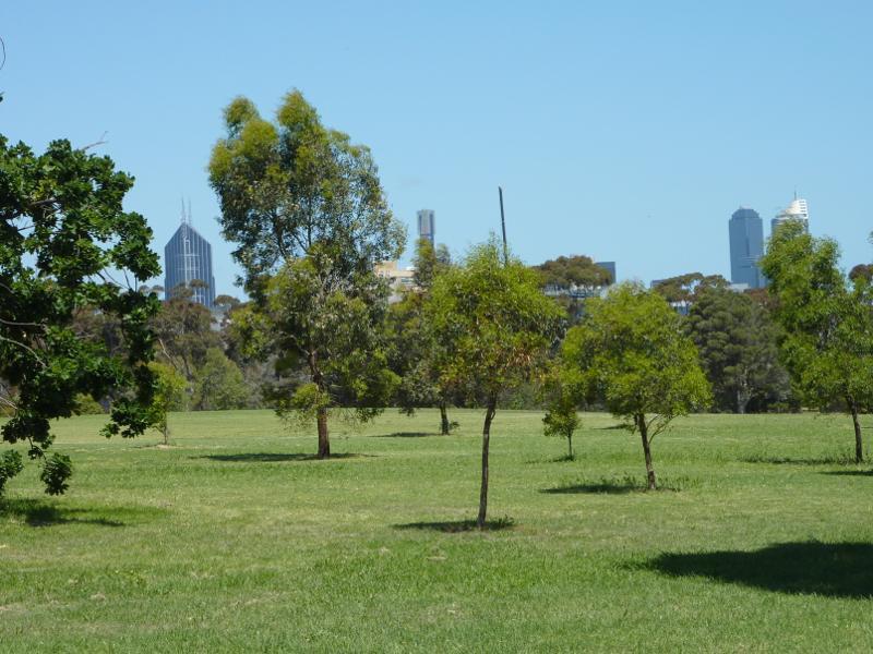
Southerly view across grassland towards Melbourne CBD
Southerly view towards grassland and Melbourne CBD
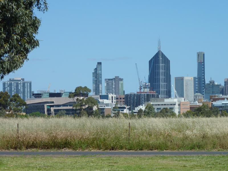
Southerly view towards grassland and Melbourne CBD
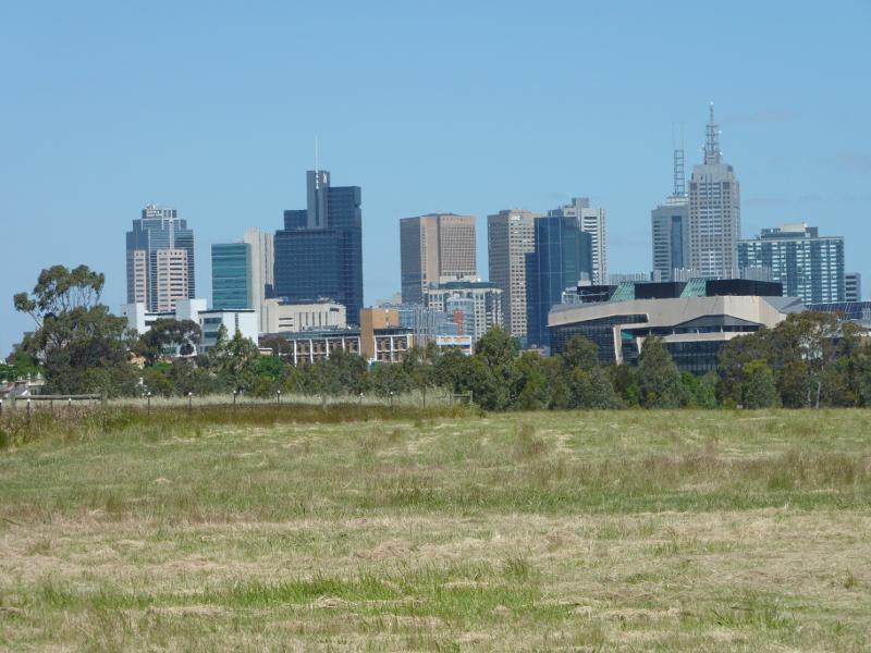
South-easterly view across grassland towards Melbourne CBD
View along pathway at north-east side of grassland towards Melbourne CBD
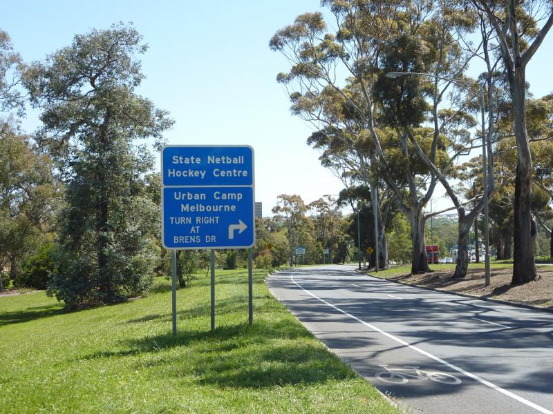
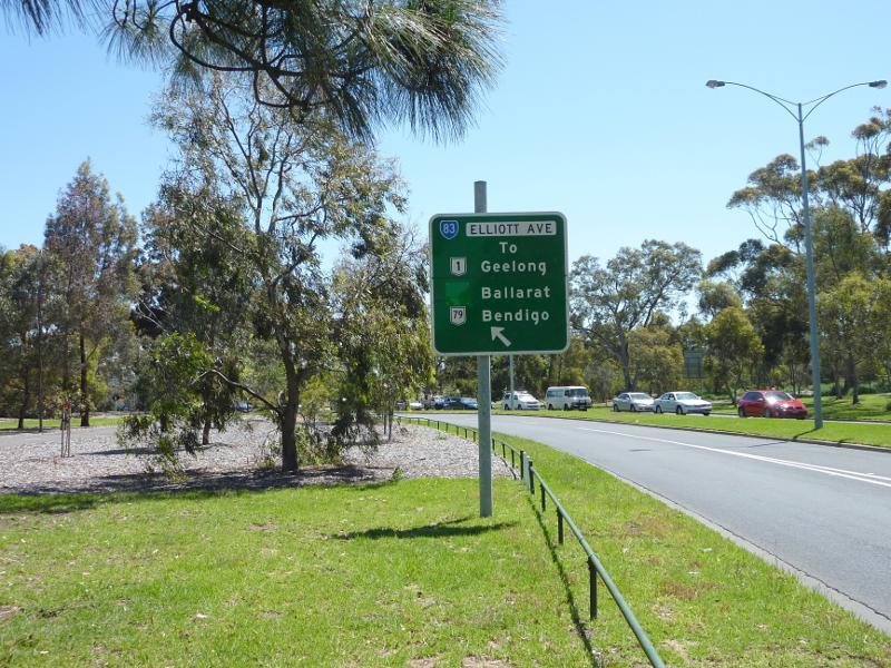
View west along Elliott Av towards Brens Dr
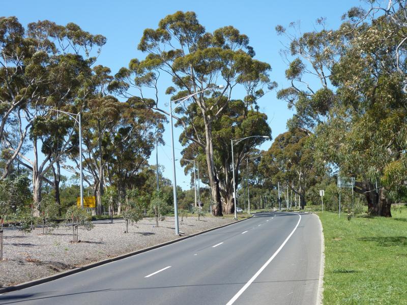
View through parkland on south side of Elliott Av east of Brens Rd
View east along Elliott Av east of Brens Rd
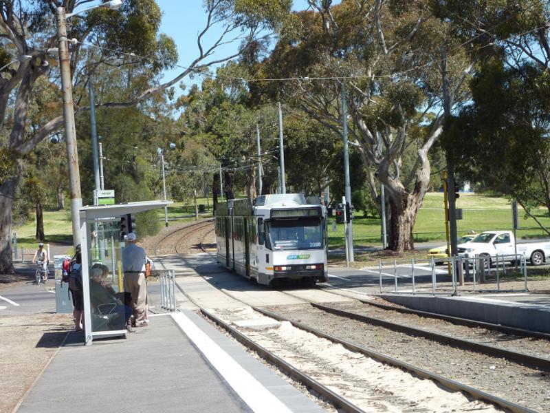
Tram stop at Elliott Av
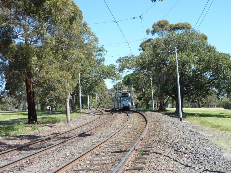
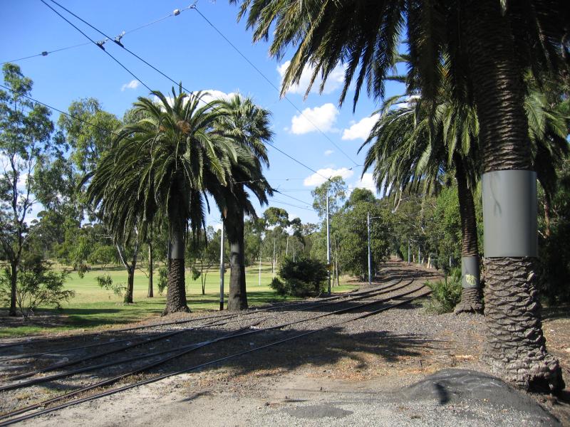
View south along tram line, south of Elliot Av
View west along Elliott Av at Macarthur Rd
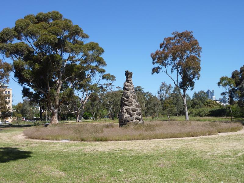
Burke & Wills memorial cairn, Macarthur Rd west of The Avenue
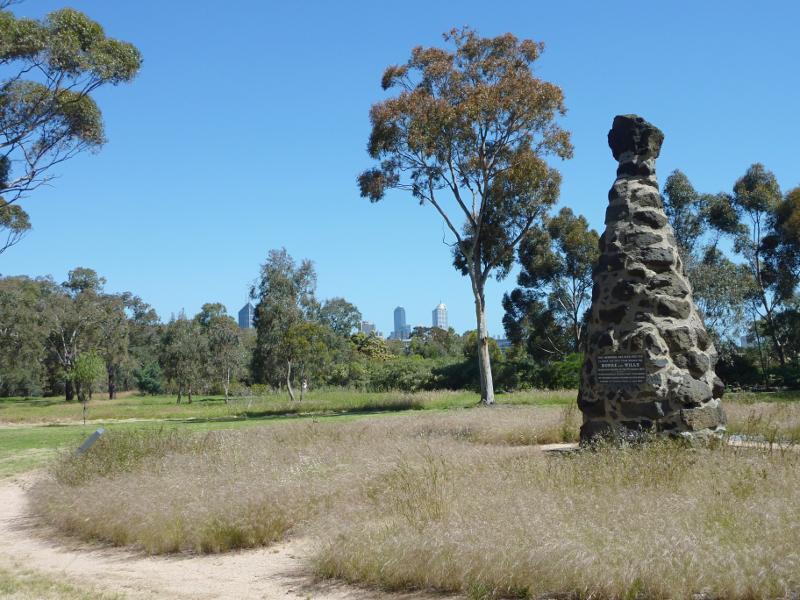
Burke & Wills memorial cairn
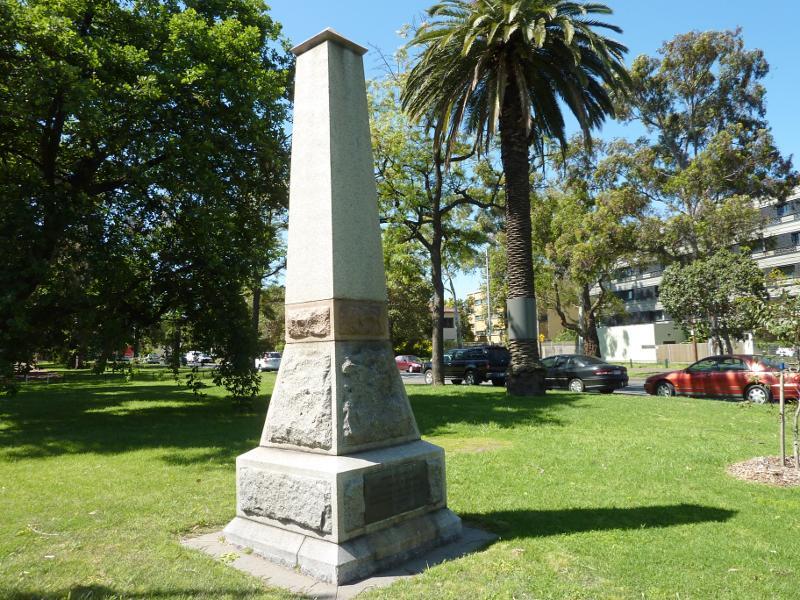
Monument, corner Macarthur Rd and The Avenue
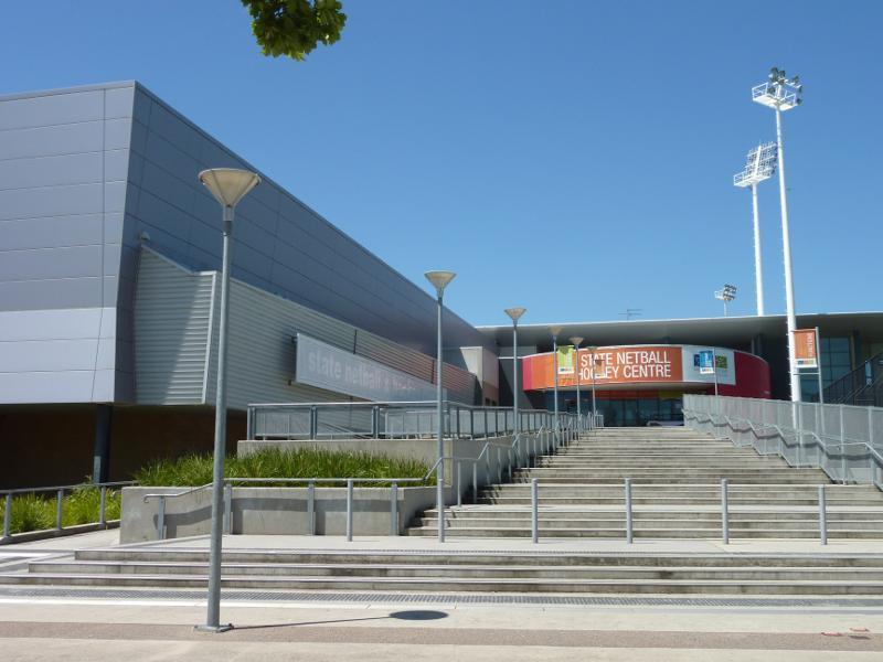
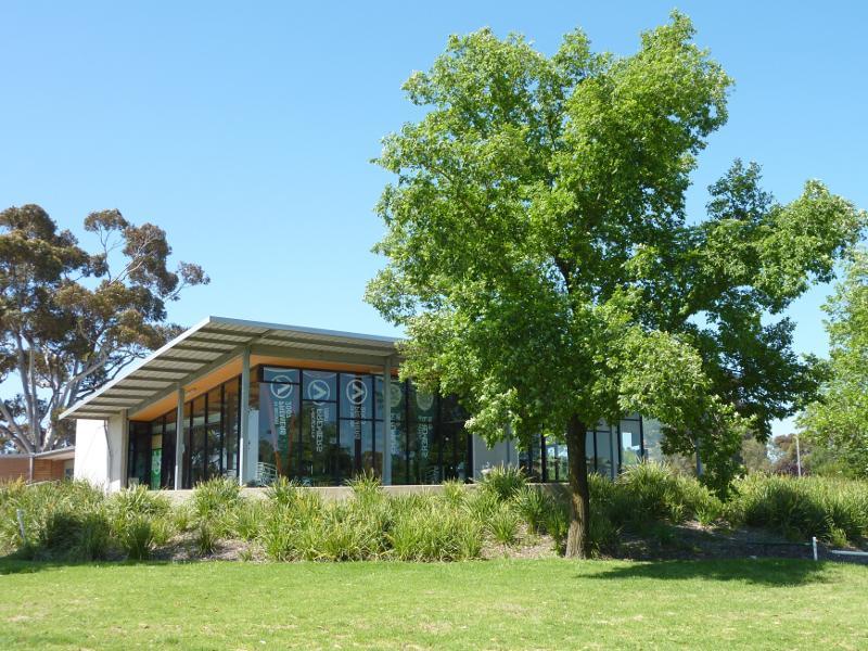
Entrance to State Netball Hockey Centre
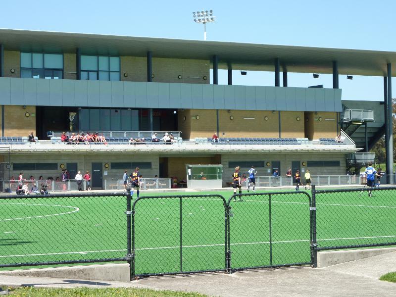
Hockey court
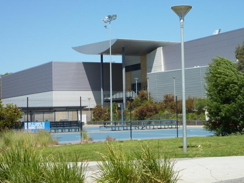
Netball courts
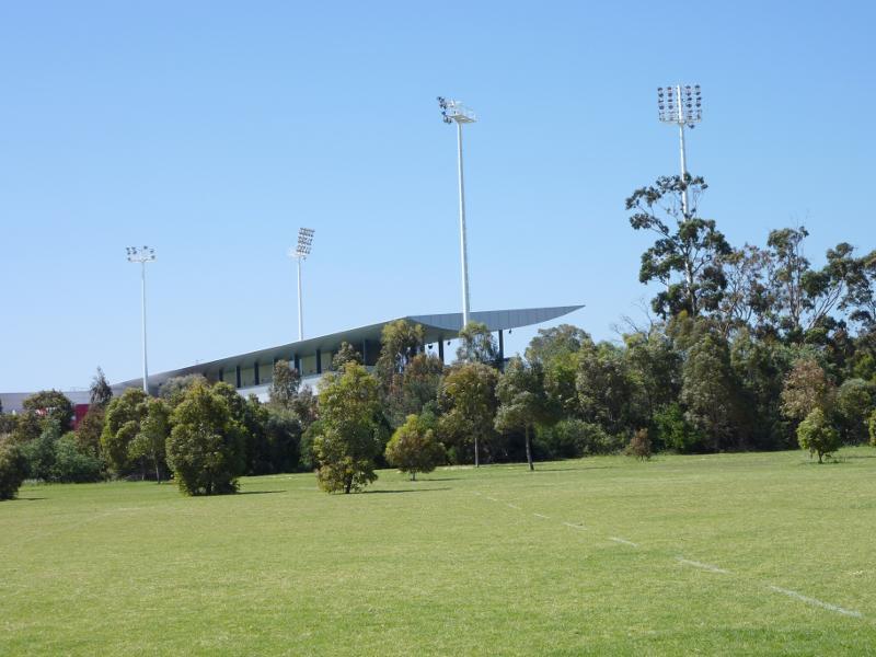
View towards State Netball Hockey Centre from oval on south side
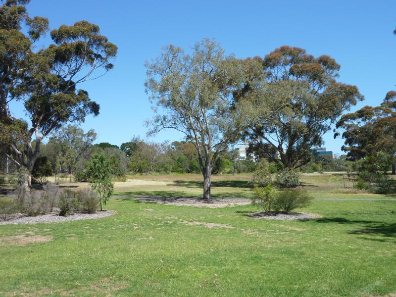
South-easterly view across park south of State Netball Hockey Centre
South-westerly view towards apartment building in North Melbourne from near Brens Dr
View south-west along Brens Dr at Urban Camp Melbourne
South-westerly view, pathway near southern end of Brens Dr
Brens Pavillion between Brens Oval and H.G. Smith Oval
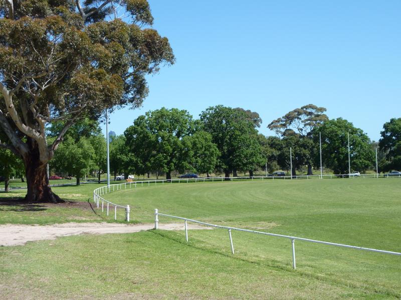
Southerly view across Brens Oval
Easterly view across H.G. Smith Oval
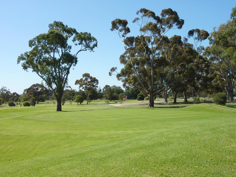
View of Royal Park Golf Course from The Avenue
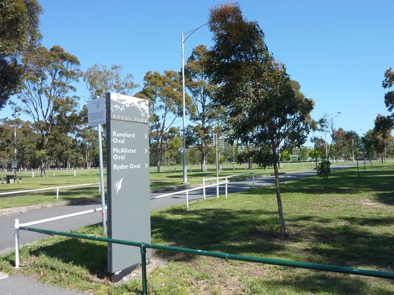
Entrance to Ransford Oval, McAlister Oval and Ryder Oval from Park St

Southerly view across Ransford Oval
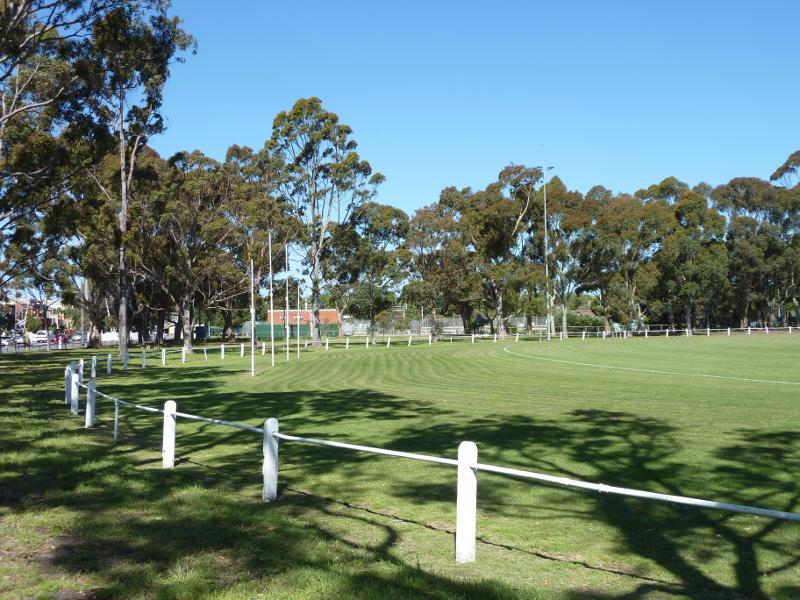
Easterly view across McAlister Oval at Park St
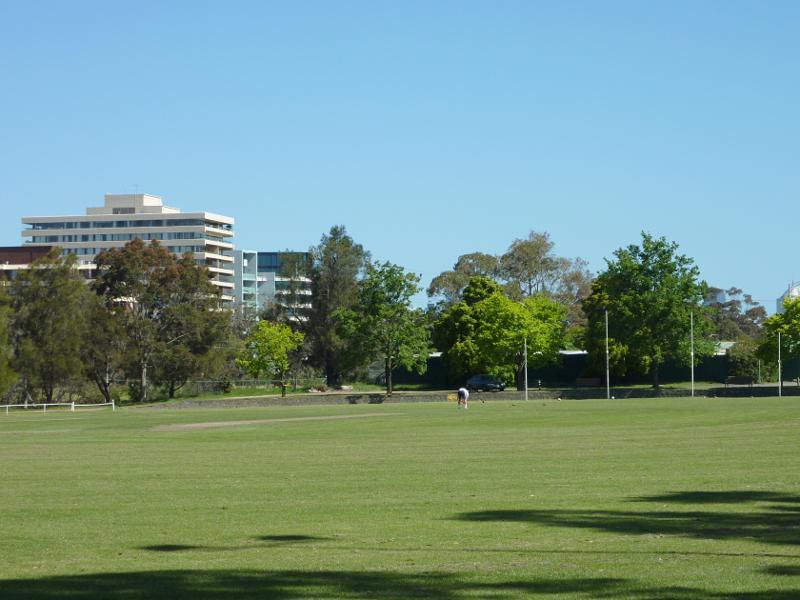
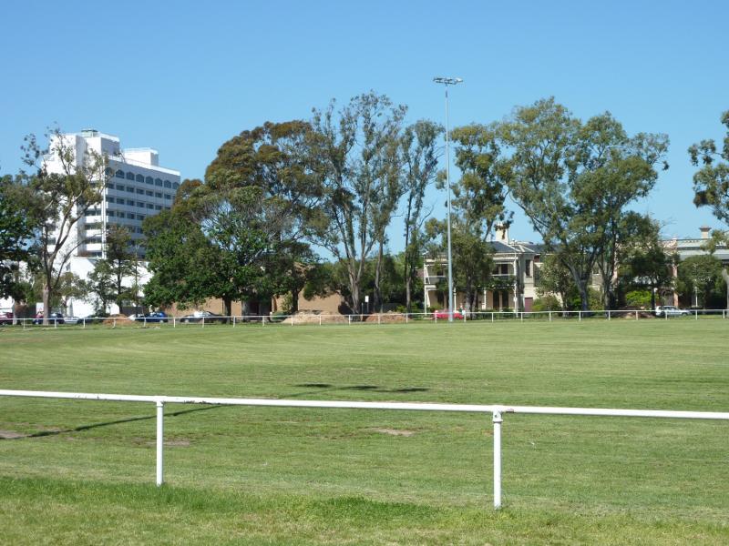
Southerly view across McAlister Oval
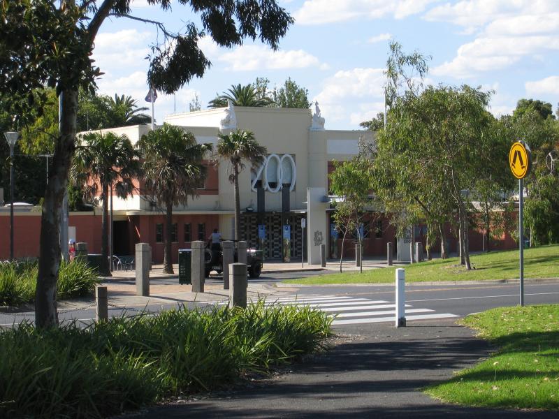
View towards Zoo main entrance from Elliott Av
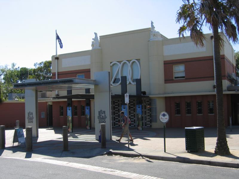
Main entrance
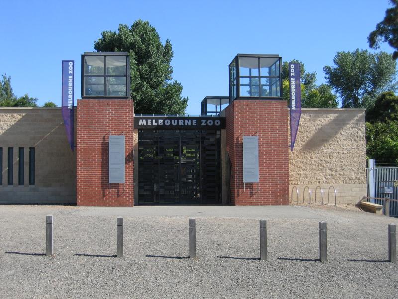
Entrance at Poplar Rd
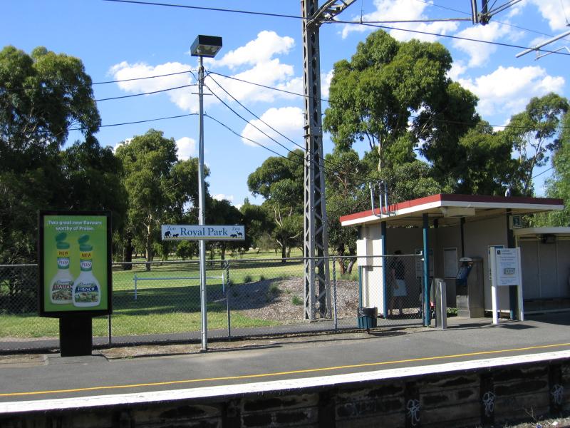
Platform of Royal Park railway station
View north-east along tram line, Flemington Rd opposite Abbotsford St
View south-east along Flemington Rd between Abbotsford Rd and Gatehouse St
View south-east along Flemington Rd towards Gatehouse St
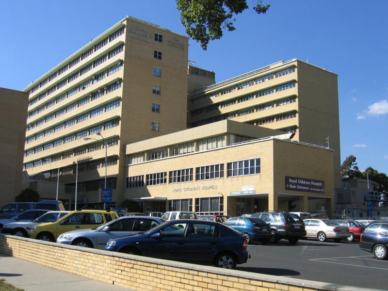
Royal Childrens Hospital, Flemington Rd
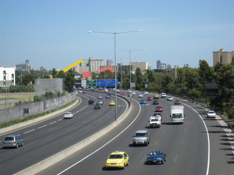
View south along freeway towards Flemington Rd exit
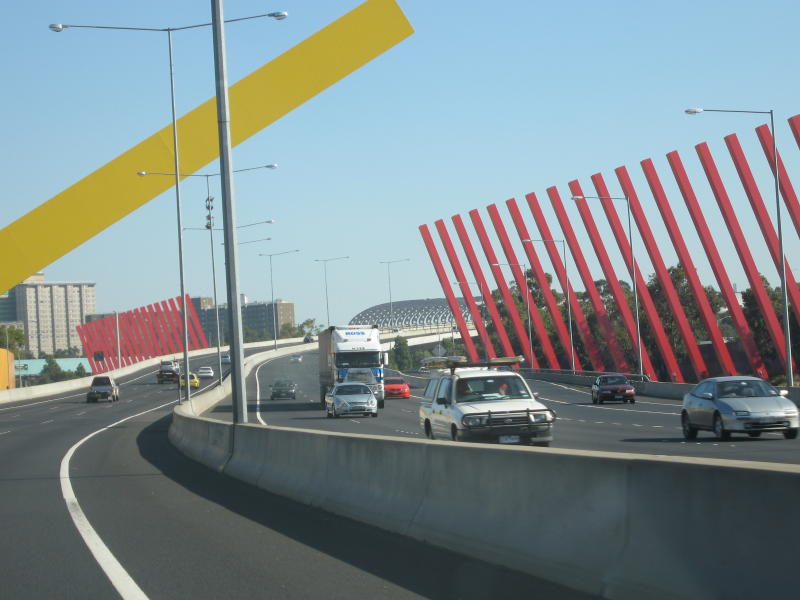
View south along freeway at Flemington Rd exit