Waratah Bay - maps & location
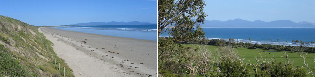
Waratah Bay
Stay
See and do
Shopping
Getting around
Visitor information
Location
Location by road
191 km south-east of Melbourne
Geographic coordinates
38° 48' 40'' S
146° 02' 19'' E
Maps
Location in Victoria

191 km south-east of Melbourne
38° 48' 40'' S
146° 02' 19'' E