Warburton - photos
Warburton
Stay
See and do
Food and drink
Shopping
Getting around
Visitor information
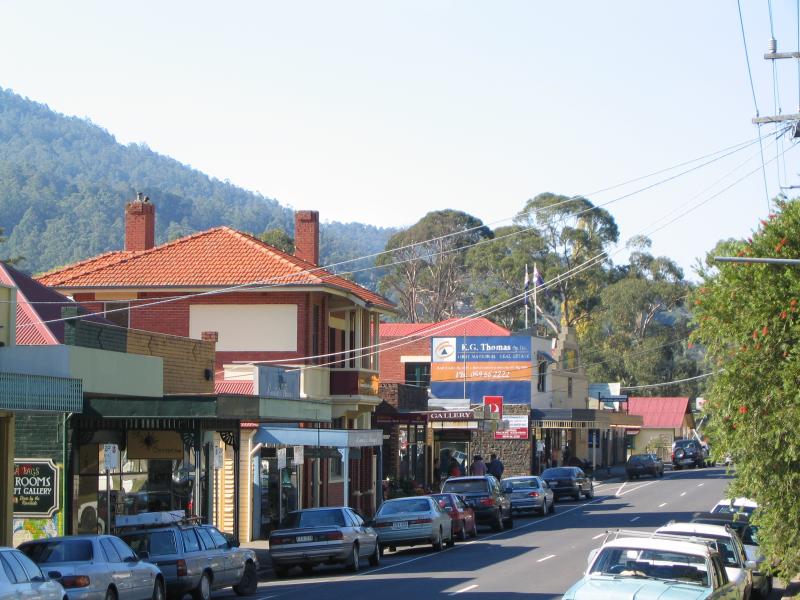
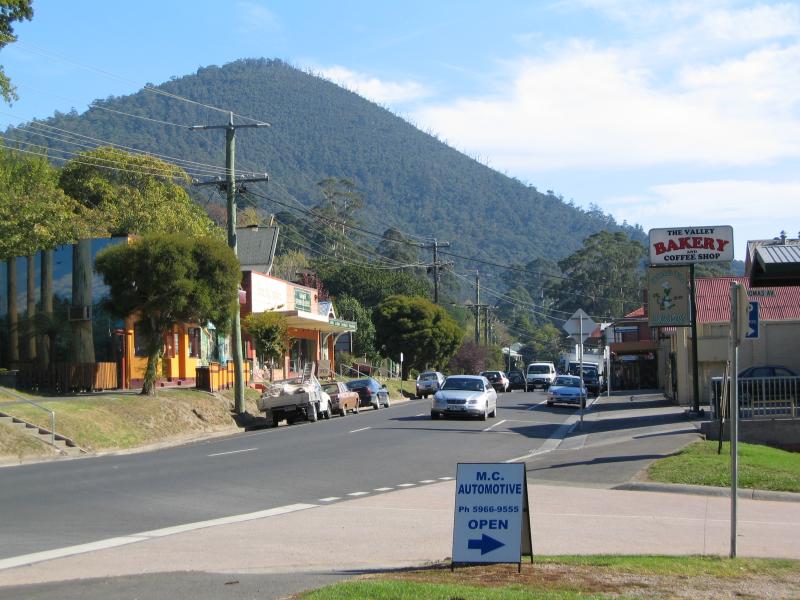
 Main Warburton commercial centre and shops - Shops, Warburton Hwy
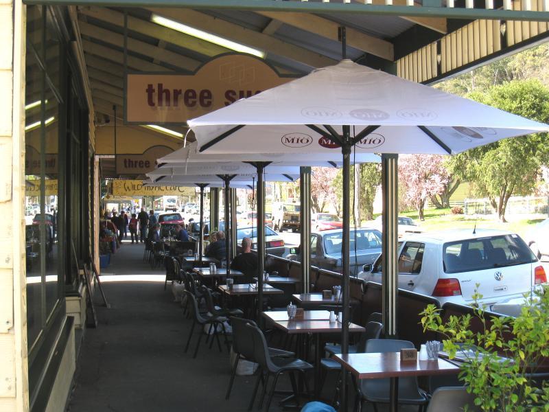 Main Warburton commercial centre and shops - Outdoor tables at cafes along Warburton Hwy
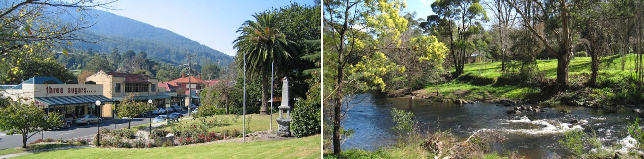
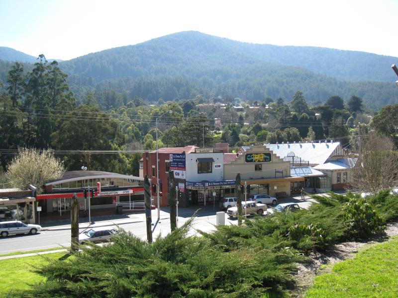
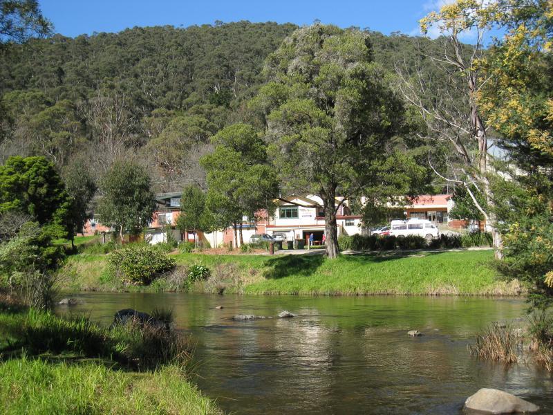
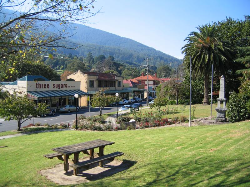 Main Warburton commercial centre and shops - View east along Warburton Hwy from reserve at memorial
 Main Warburton commercial centre and shops - View across Warburton Hwy from reserve at memorial
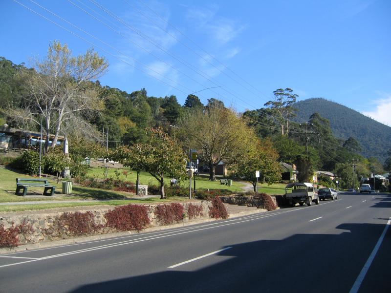
 Main Warburton commercial centre and shops - View west along Warburton Hwy from reserve at memorial
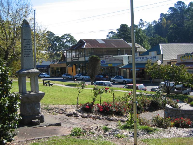
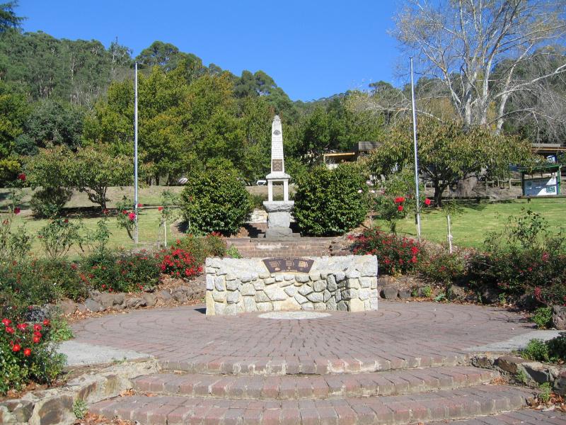 Main Warburton commercial centre and shops - Memorial, Warburton Hwy
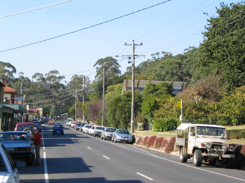
 Main Warburton commercial centre and shops - View west along Warburton Hwy near memorial
 Main Warburton commercial centre and shops - View east along Warburton Hwy near memorial
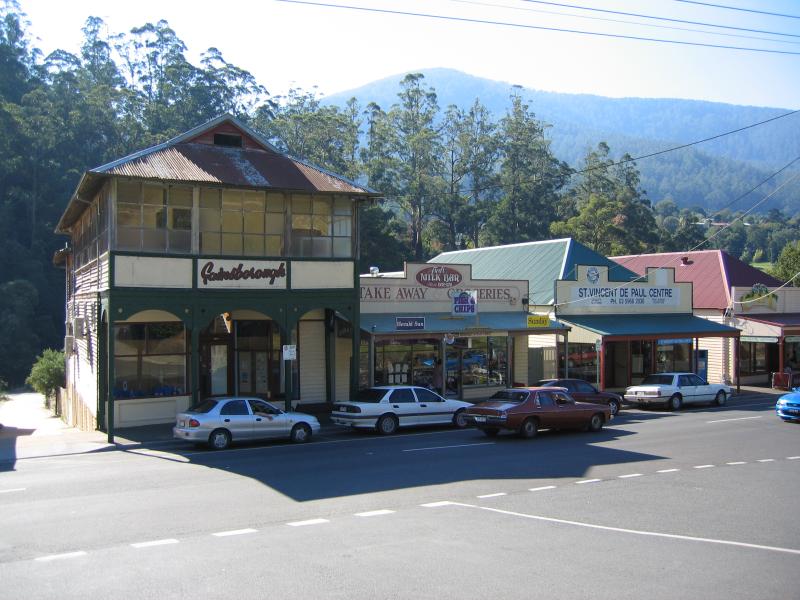
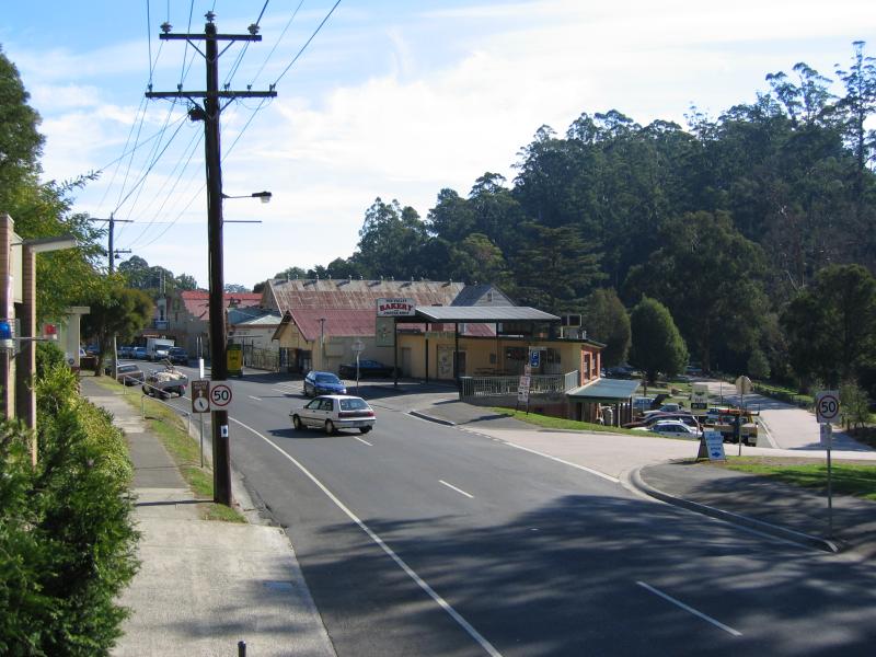
 Main Warburton commercial centre and shops - Shops, view east along Warburton Hwy
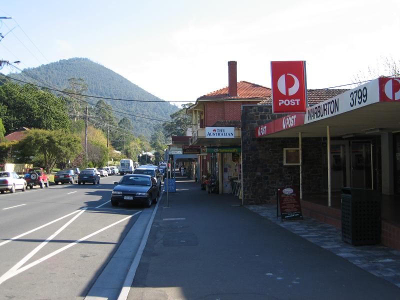 Main Warburton commercial centre and shops - Post Office, west west along Warburton Hwy
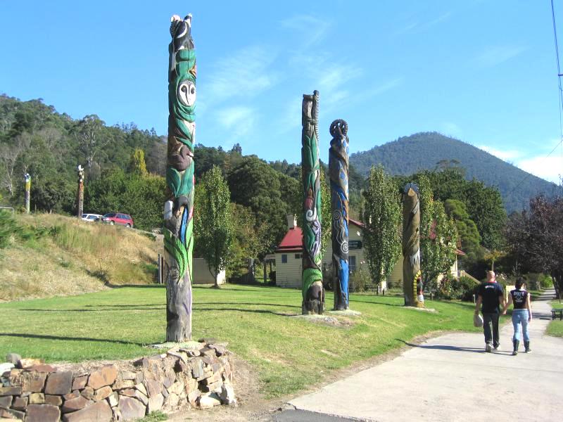 Main Warburton commercial centre and shops - Wood carvings, view west along Warburton Hwy near memorial
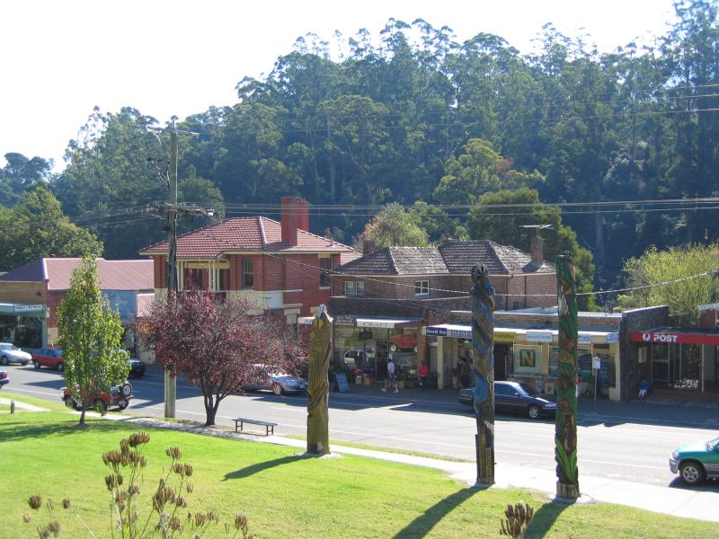 Main Warburton commercial centre and shops - Wood carvings, looking across Warburton Hwy
 Main Warburton commercial centre and shops - Looking across Warburton Hwy towards post office and cinema
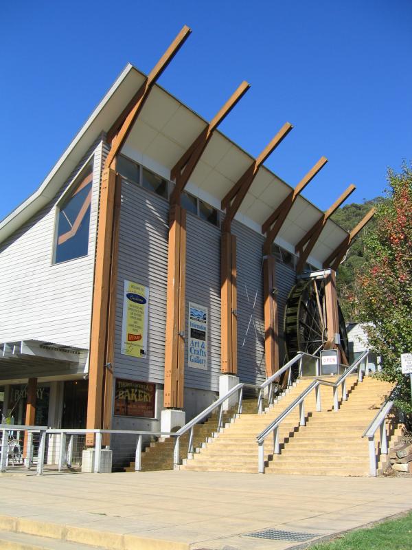 Main Warburton commercial centre and shops - Visitor Centre, Warburton Hwy
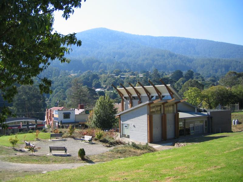 Main Warburton commercial centre and shops - View north from behind Visitor Centre to shops
 Main Warburton commercial centre and shops - Warburton Trail, behind Visitor Centre
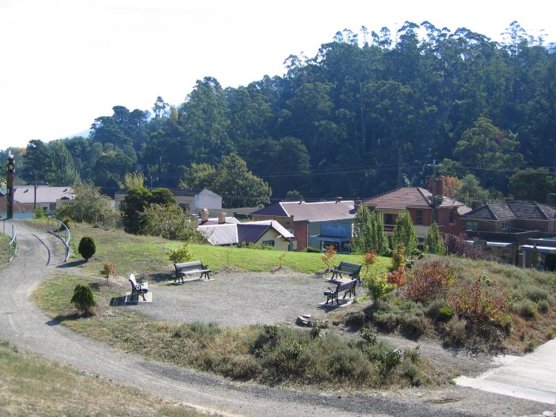 Main Warburton commercial centre and shops - From reserve at Visitor Centre, view to shops
 Main Warburton commercial centre and shops - View west along Warburton Hwy at Thomas Av
 Main Warburton commercial centre and shops - View west along Warburton Hwy towards Thomas Av
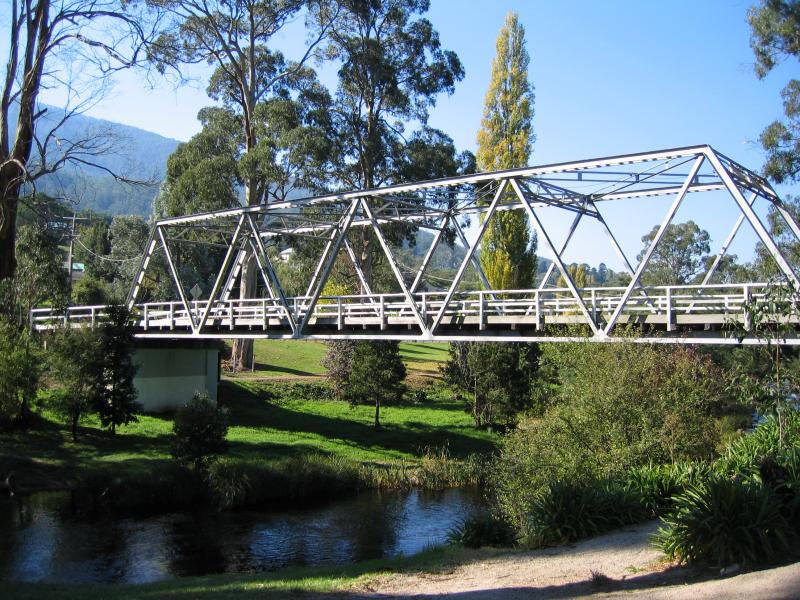 Chisholm Park and Brisbane Bridge - Brisbane Bridge across Yarra River
 Chisholm Park and Brisbane Bridge - View south along Brisbane Bridge over river
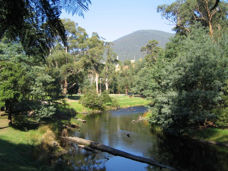
 Chisholm Park and Brisbane Bridge - View east along Yarra River from Brisbane Bridge
 Chisholm Park and Brisbane Bridge - View west through park from Brisbane Bridge
 Chisholm Park and Brisbane Bridge - View west along Dammans Rd at Chisholm Park
 Chisholm Park and Brisbane Bridge - View south along Brisbane Hill Rd at Hill Rd
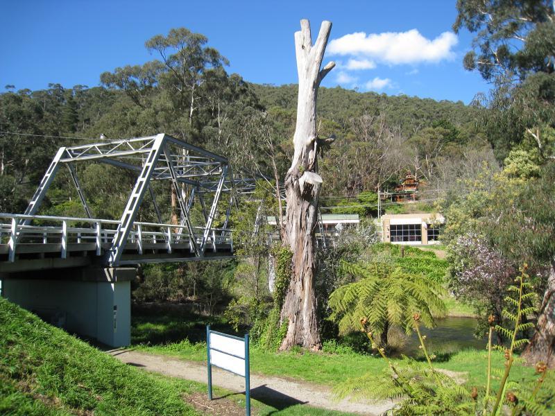
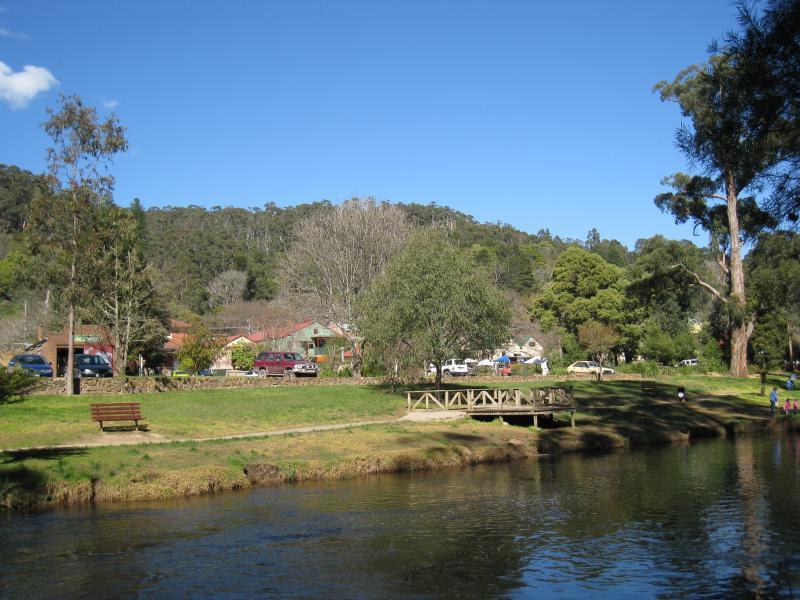
 Warburton Recreation Reserve - Bramich Bridge, across the Yarra River
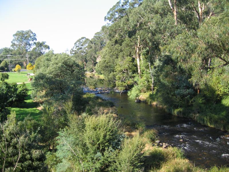
 Warburton Recreation Reserve - View along Yarra River from Bramich Bridge
 Warburton Recreation Reserve - View across oval
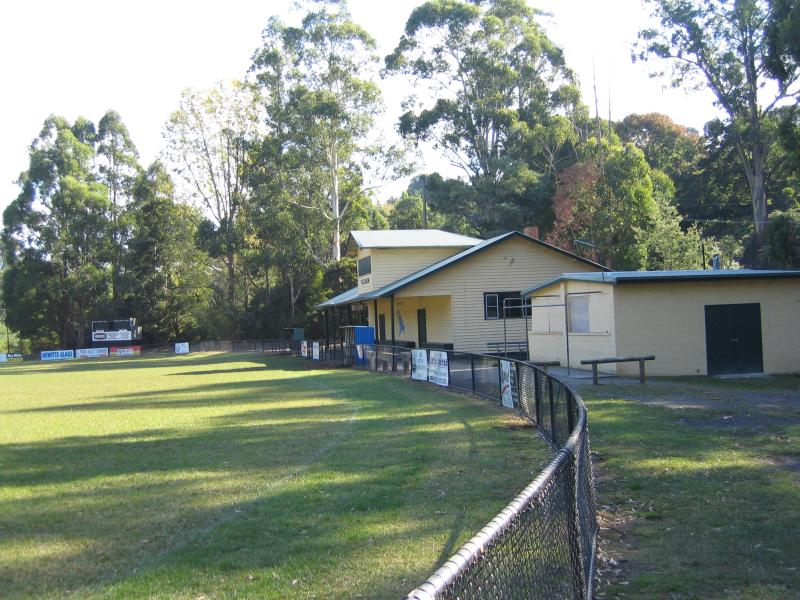 Warburton Recreation Reserve - Sporting buildings at oval
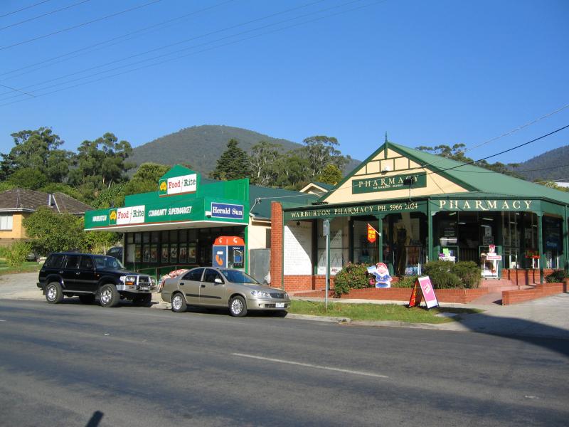 Small commercial centre and shops, Warburton Highway east of main centre - Supermarket and pharmacy
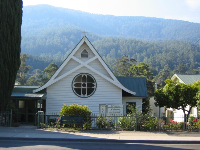 Small commercial centre and shops, Warburton Highway east of main centre - St. Andrews Church
 Small commercial centre and shops, Warburton Highway east of main centre - View west along Warburton Hwy at Park Rd
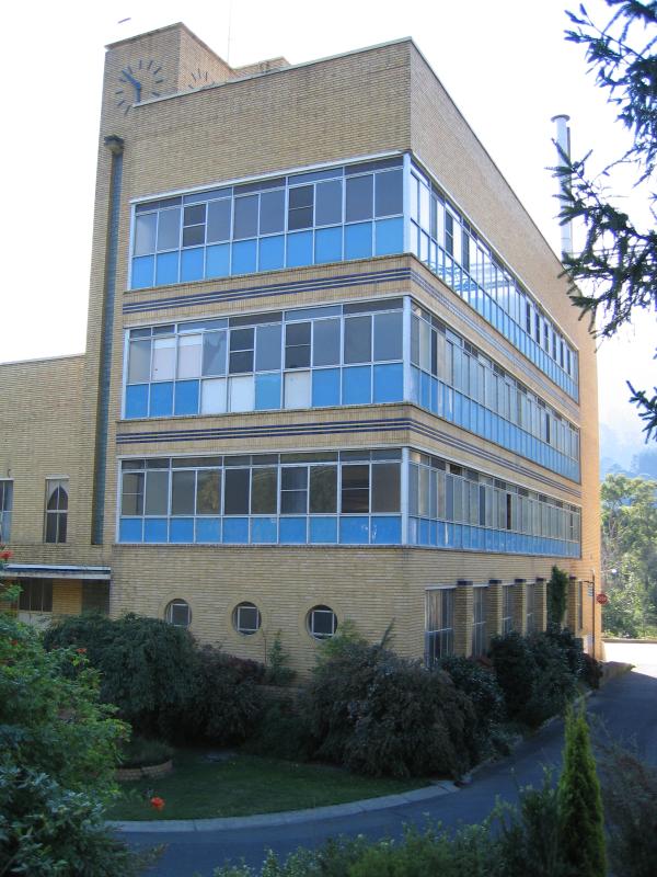 Small commercial centre and shops, Warburton Highway east of main centre - Old Sanitarium health food factory, Warburton Hwy
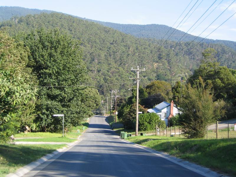
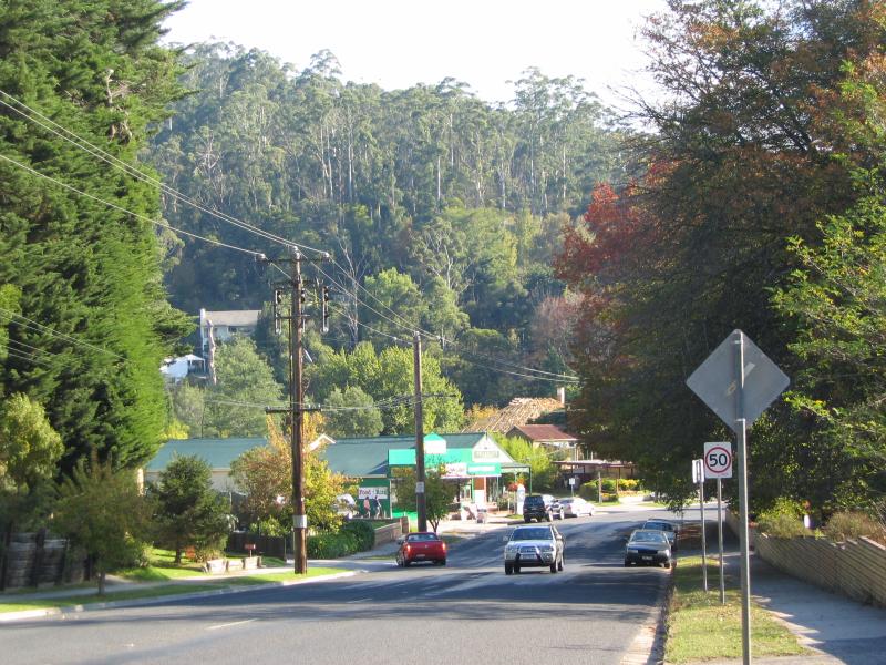
 Small commercial centre and shops, Warburton Highway east of main centre - View east along Warburton Highway at Donna Buang Rd
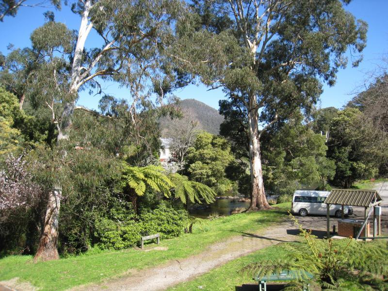
 Yarra River Walk - View across river to commercial centre near Brisbane Bridge
 Yarra River Walk - View across river towards commercial centre
 Yarra River Walk - View west along river, west of Story Reserve
 Yarra River Walk - River platform, Yarra River west of Story Reserve
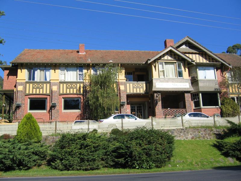 Yarra River around Story Reserve, western end end of commercial centre - Alpine Retreat Hotel, Warburton Highway
 Yarra River around Story Reserve, western end end of commercial centre - Tennis courts
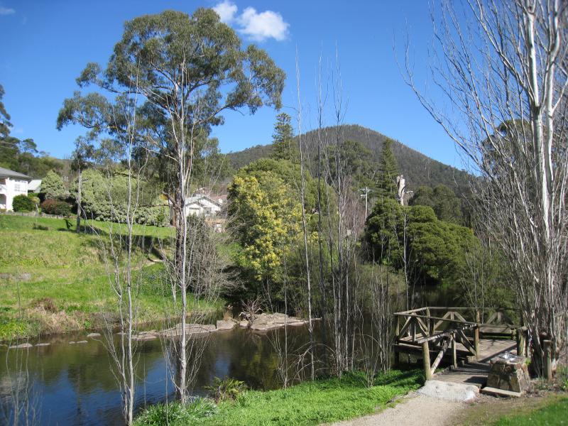
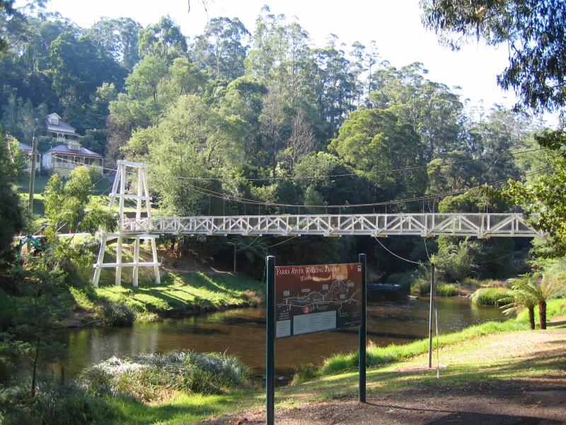 Yarra River around Story Reserve, western end end of commercial centre - Swing Bridge across Yarra River
 Yarra River around Story Reserve, western end end of commercial centre - View south across Swing Bridge
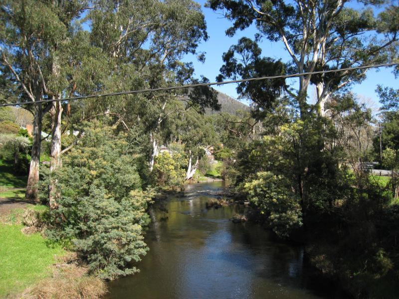 Yarra River around Story Reserve, western end end of commercial centre - View west along Yarra River from Swing Bridge
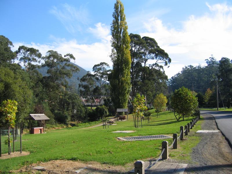
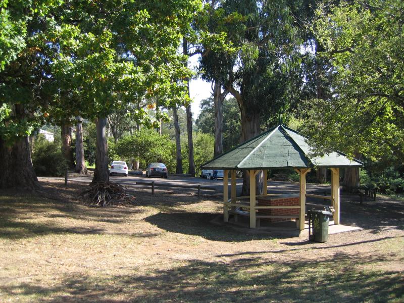 Yarra River around Story Reserve, western end end of commercial centre - Rotunda and car park at Story Reserve
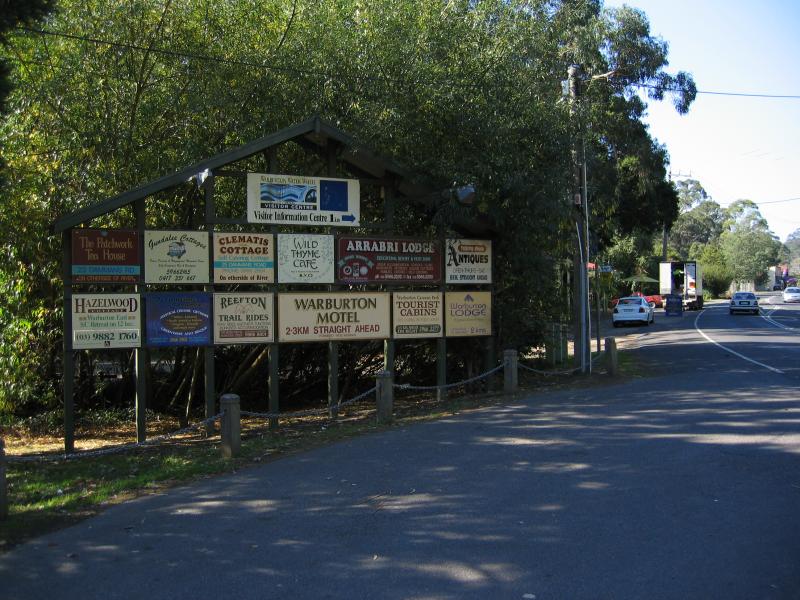 Scotchmans Creek at Yarra River - Tourist information sign, Warburton Hwy
 Scotchmans Creek at Yarra River - Gardens along Yarra River
 Scotchmans Creek at Yarra River - Restaurant
 Wesburn - 4 km west of Warburton on the Warburton Highway
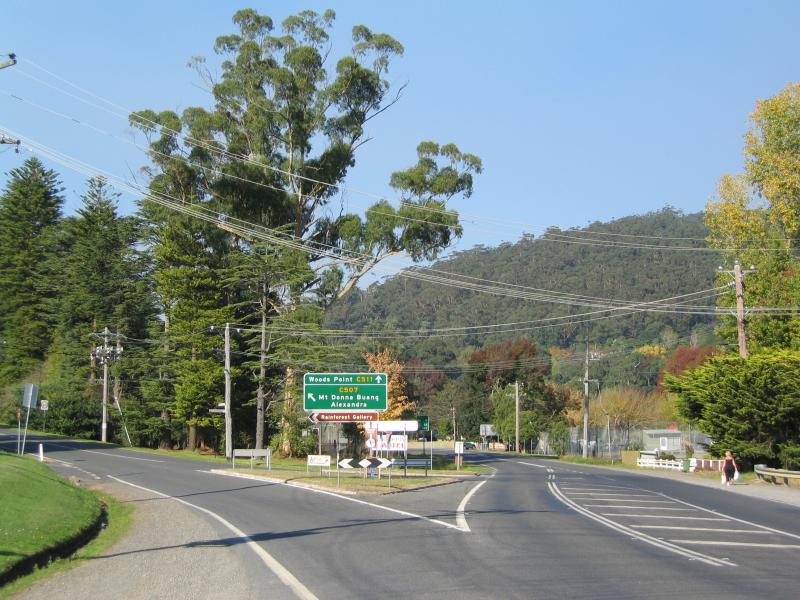
 Cement Creek and Rainforest Gallery - Junction of Donna Buang Rd and Acheron Way
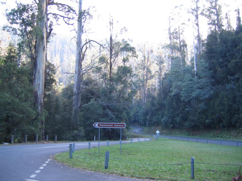 Cement Creek and Rainforest Gallery - Access to Rainforest Gallery, Acheron Way and Donna Buang Rd intersection
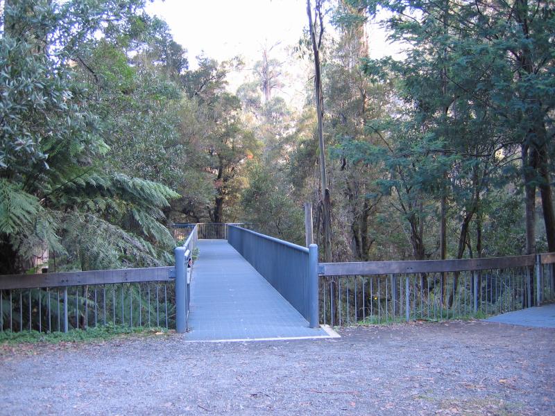 Cement Creek and Rainforest Gallery - Entrance to Rainforest Gallery Skywalk
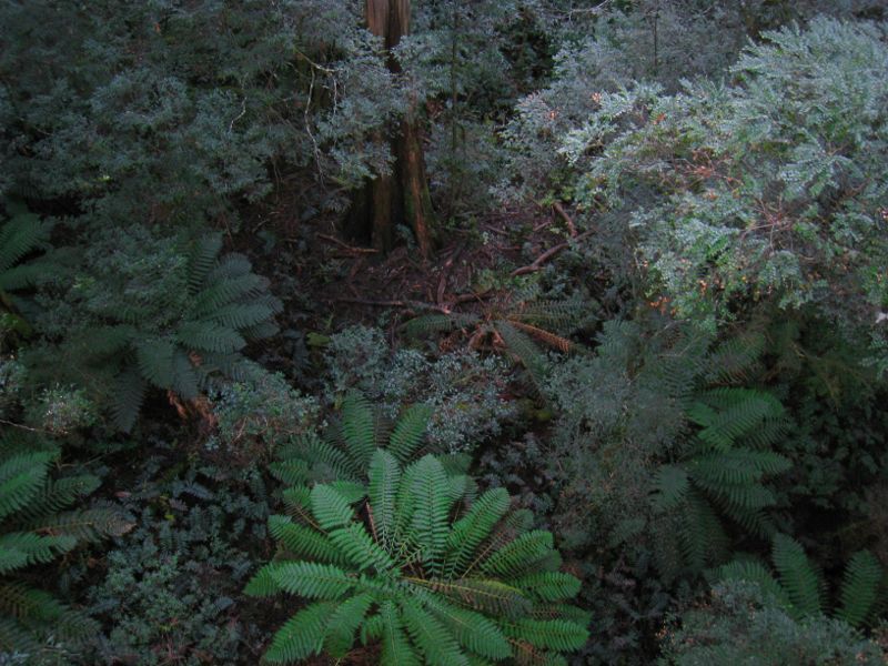 Cement Creek and Rainforest Gallery - View straight down to forest floor from Rainforest Gallery Skywalk
 Cement Creek and Rainforest Gallery - Steps down to forest floor
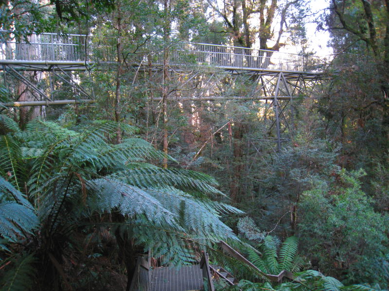 Cement Creek and Rainforest Gallery - View towards Rainforest Gallery Skywalk from steps down to forest floor
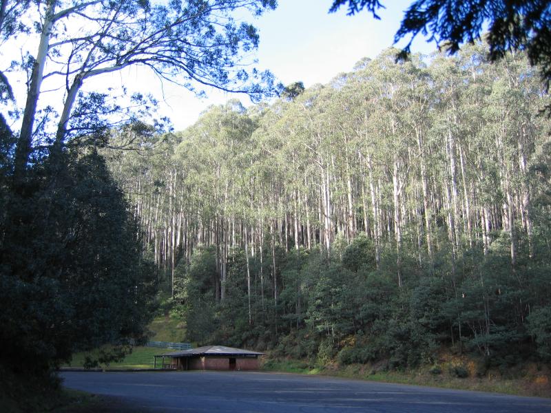 Road from Cement Creek to Mount Donna Buang summit - 'Ten Mile' - shelter and car park
 Road from Cement Creek to Mount Donna Buang summit - 'Ten Mile' - view along road to summit
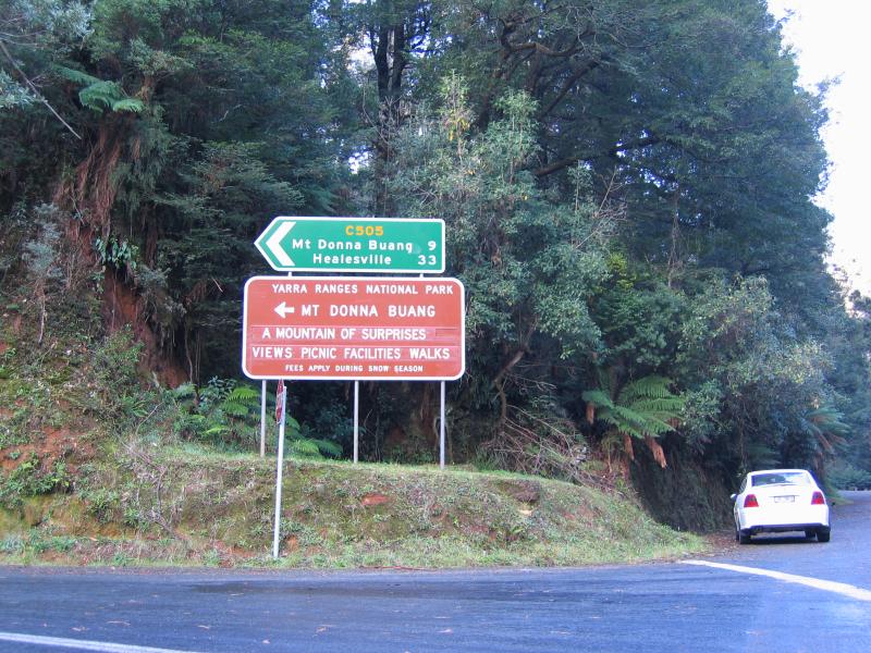
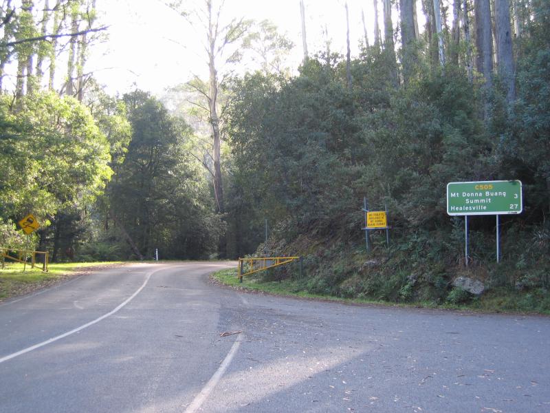
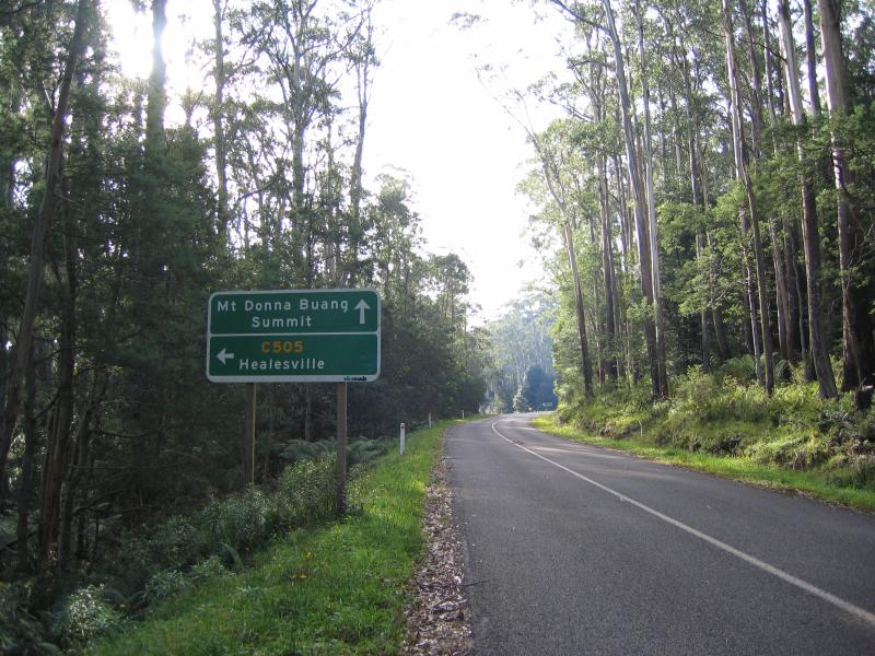 Road from Cement Creek to Mount Donna Buang summit - Road to summit at turn-off for Healesville
 Road from Cement Creek to Mount Donna Buang summit - Mt Donna Buang welcome sign at car park No. 2
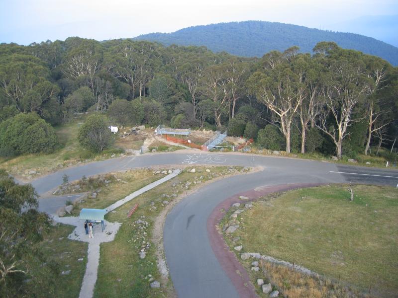
 Summit of Mount Donna Buang - Entrance to car park at summit
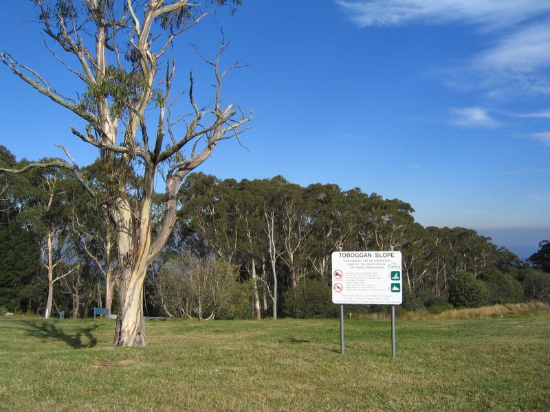 Summit of Mount Donna Buang - Toboggan slope
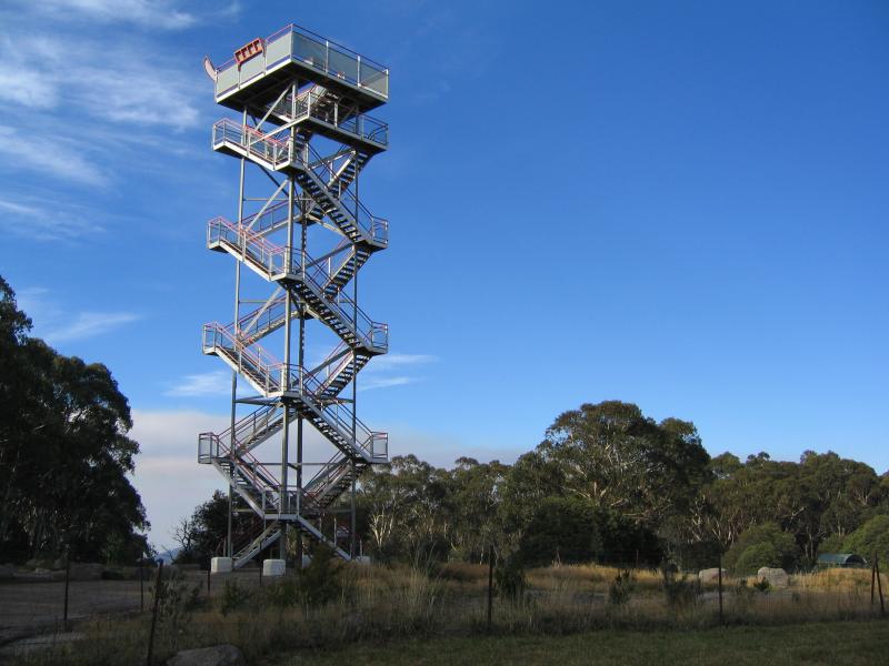 Summit of Mount Donna Buang - Lookout tower
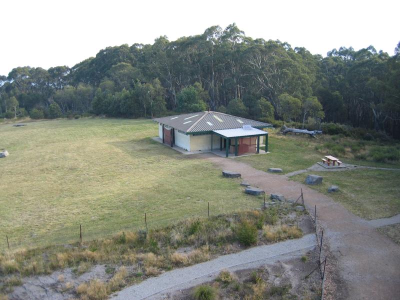 Summit of Mount Donna Buang - View from lookout tower down to BBQ shelter
 Summit of Mount Donna Buang - View from lookout down tower to BBQ shelter
 Summit of Mount Donna Buang - View from lookout tower down to car park and toboggan run
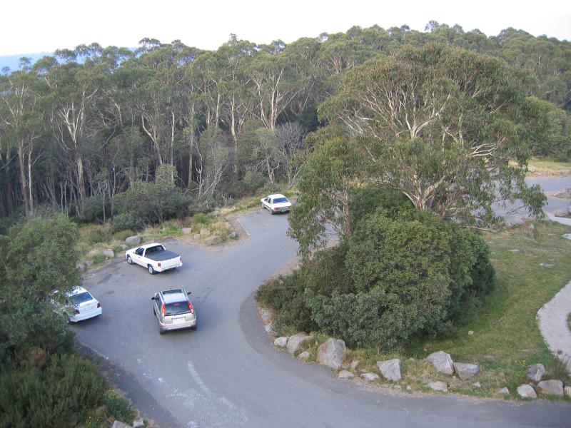 Summit of Mount Donna Buang - View from lookout tower down to car park