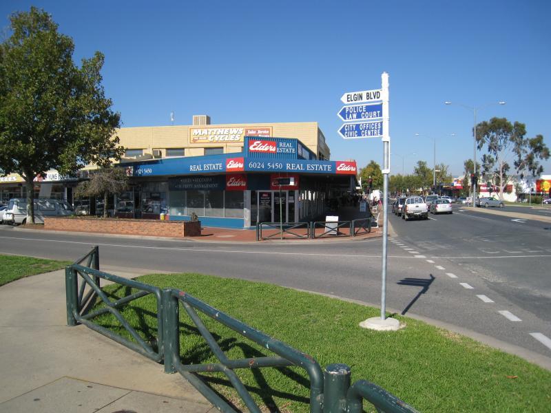
Shops along High Street south of railway line, Stanley Street and Woodland Grove - View south along High St at Elgin Bvd
Shops along High Street south of railway line, Stanley Street and Woodland Grove - Shops along east side of High St opposite Elgin Bvd
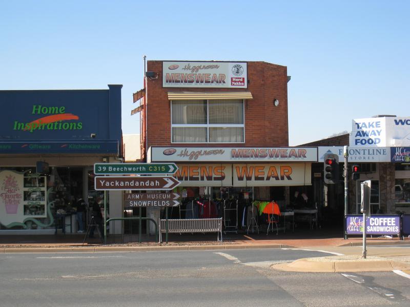
Shops along High Street south of railway line, Stanley Street and Woodland Grove - View south along High St, just south of Elgin Bvd
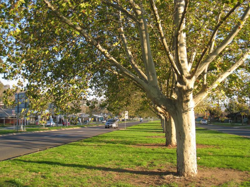
Shops along High Street south of railway line, Stanley Street and Woodland Grove - View south along High St between Elgin Bvd and Stanley St
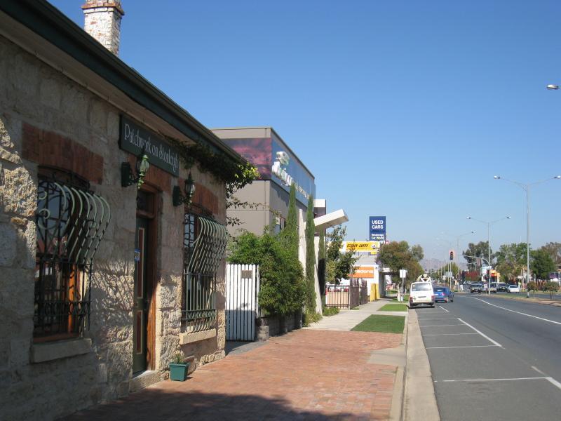
Shops along High Street south of railway line, Stanley Street and Woodland Grove - Shops along west side of High St between Elgin Bvd and Stanley St
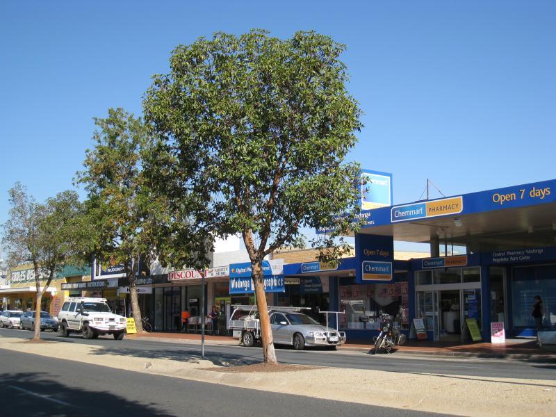
Shops along High Street south of railway line, Stanley Street and Woodland Grove - Supermarket, east side of High St near Stanley St
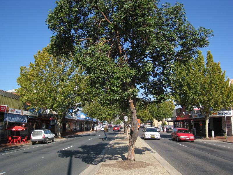
Shops along High Street south of railway line, Stanley Street and Woodland Grove - View south along High St towards Stanley St
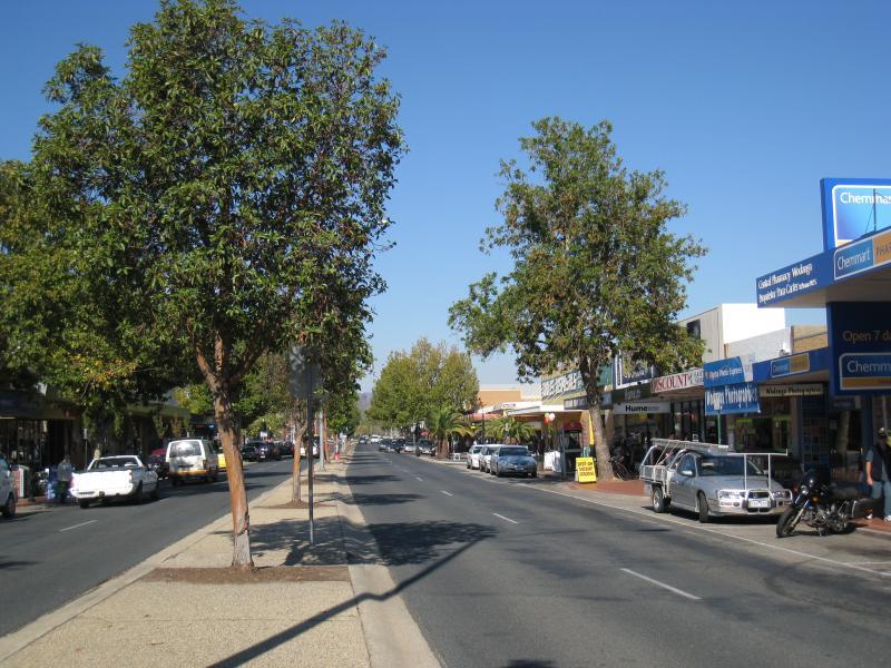
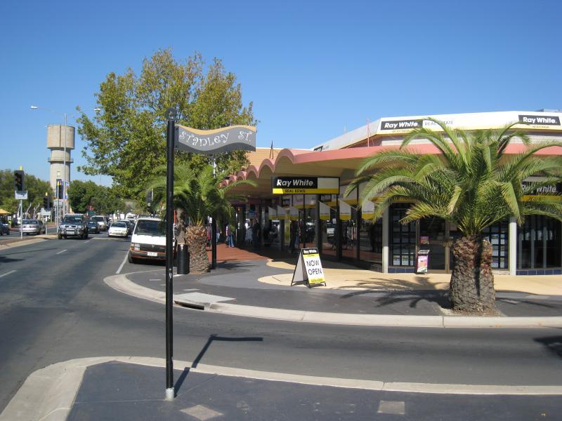
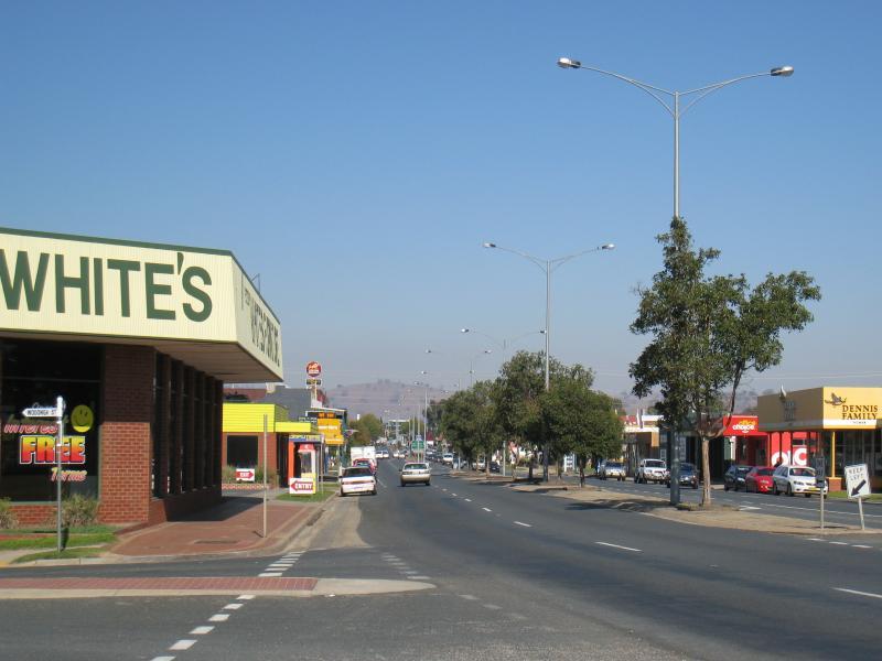
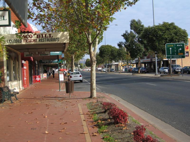
Shops along High Street south of railway line, Stanley Street and Woodland Grove - View south along High St at Stanley St
Shops along High Street south of railway line, Stanley Street and Woodland Grove - View west across High St towards Stanley St
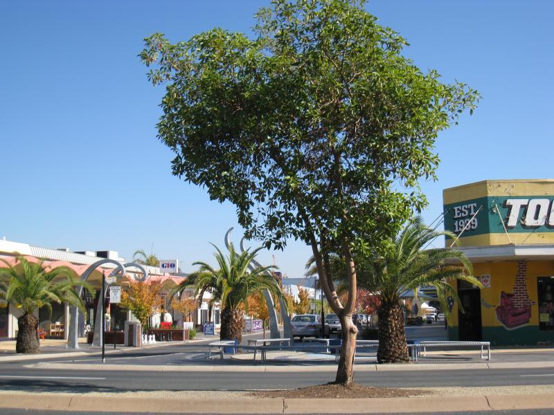
Shops along High Street south of railway line, Stanley Street and Woodland Grove - South side of Stanley St near High St
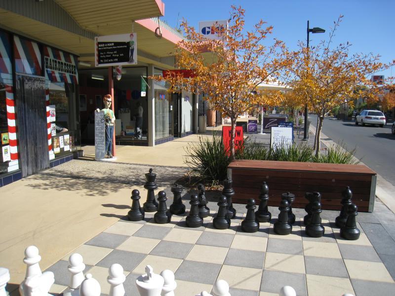
Shops along High Street south of railway line, Stanley Street and Woodland Grove - Outdoor chess set, Stanley St near High St
Shops along High Street south of railway line, Stanley Street and Woodland Grove - View east along Stanley St towards High St
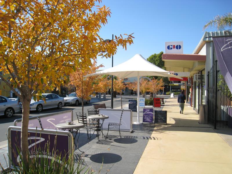
Shops along High Street south of railway line, Stanley Street and Woodland Grove - South side of Stanley St between High St and Hume St
Shops along High Street south of railway line, Stanley Street and Woodland Grove - View west along Stanley St between High St and Hume St
Shops along High Street south of railway line, Stanley Street and Woodland Grove - View east along Stanley St between High St and Hume St
Shops along High Street south of railway line, Stanley Street and Woodland Grove - View south along Hume St towards Stanley St
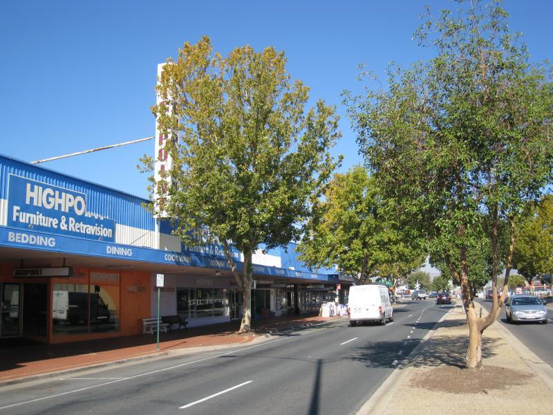
Shops along High Street south of railway line, Stanley Street and Woodland Grove - View south along High St, just south of Stanley St
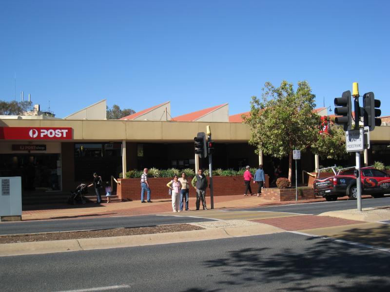
Shops along High Street south of railway line, Stanley Street and Woodland Grove - View south along High St at pedestrian lights at post office
Shops along High Street south of railway line, Stanley Street and Woodland Grove - Post office, east side of High St
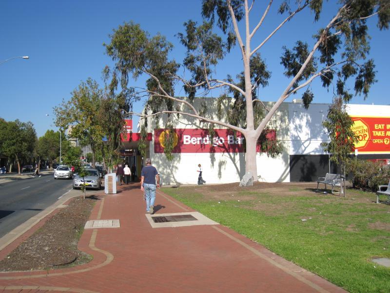
Shops along High Street south of railway line, Stanley Street and Woodland Grove - Cafe Grove, High St at northern end of Woodland Grove
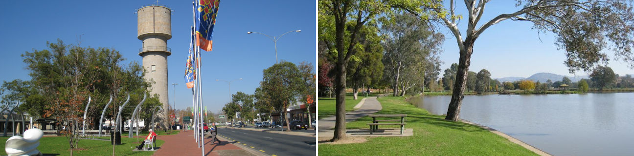
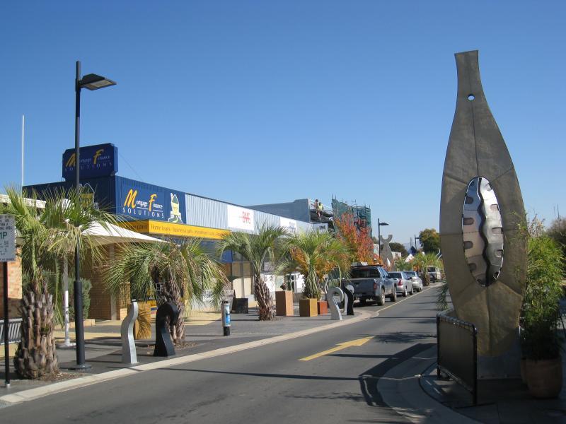
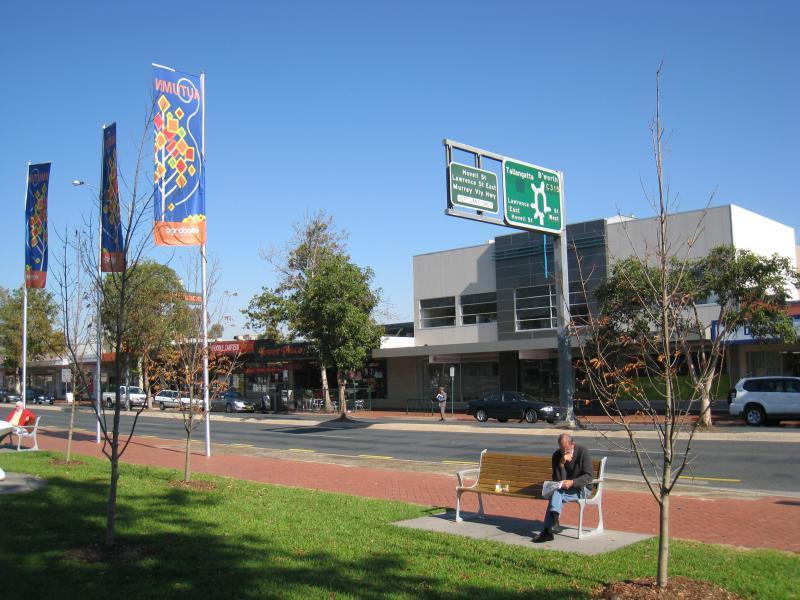
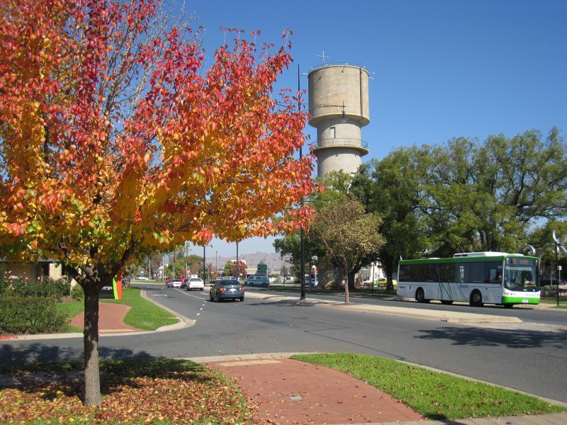
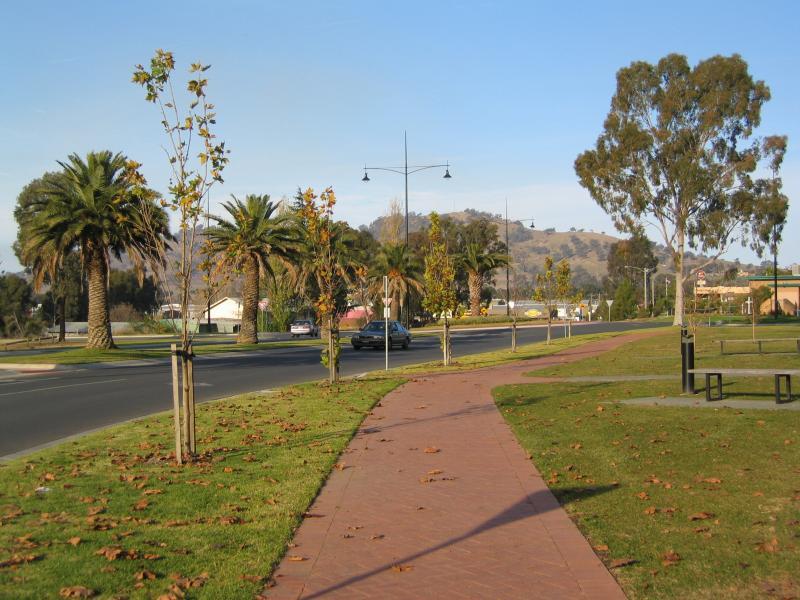
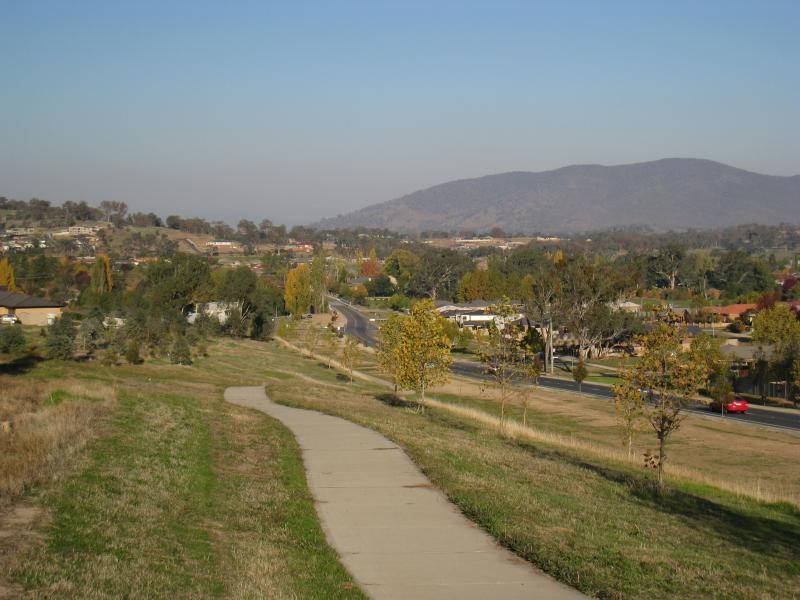
Shops along High Street south of railway line, Stanley Street and Woodland Grove - View south along High St at Woodland Grove towards water tower
Shops along High Street south of railway line, Stanley Street and Woodland Grove - West side of High St at Woodland Grove
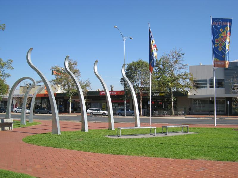
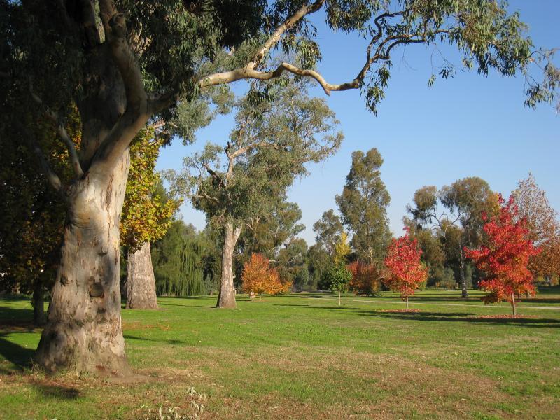
Shops along High Street south of railway line, Stanley Street and Woodland Grove - View south through Woodland Grove
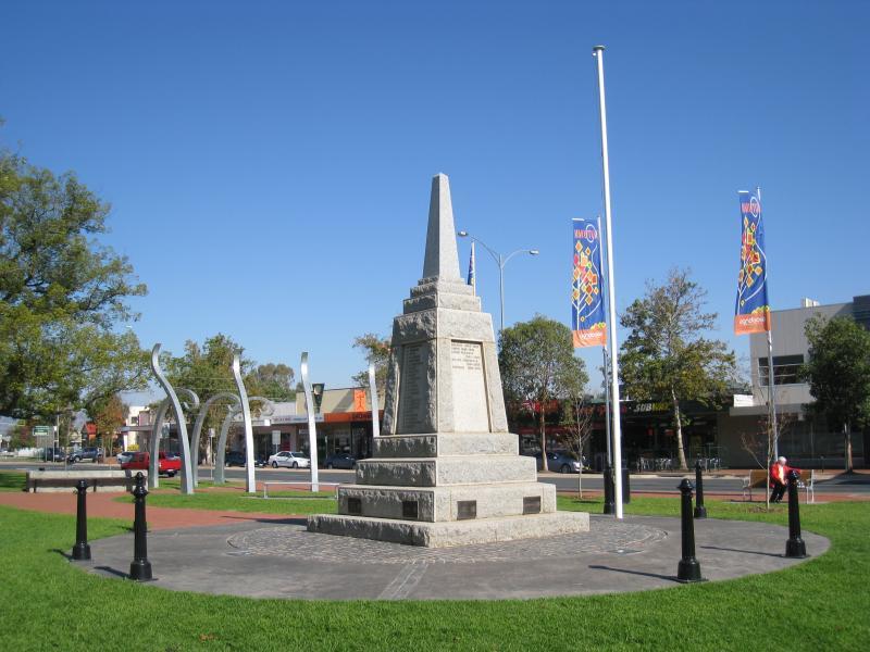
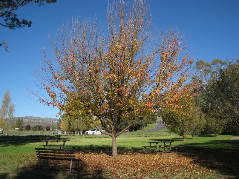
Shops along High Street south of railway line, Stanley Street and Woodland Grove - War memorial, Woodland Grove
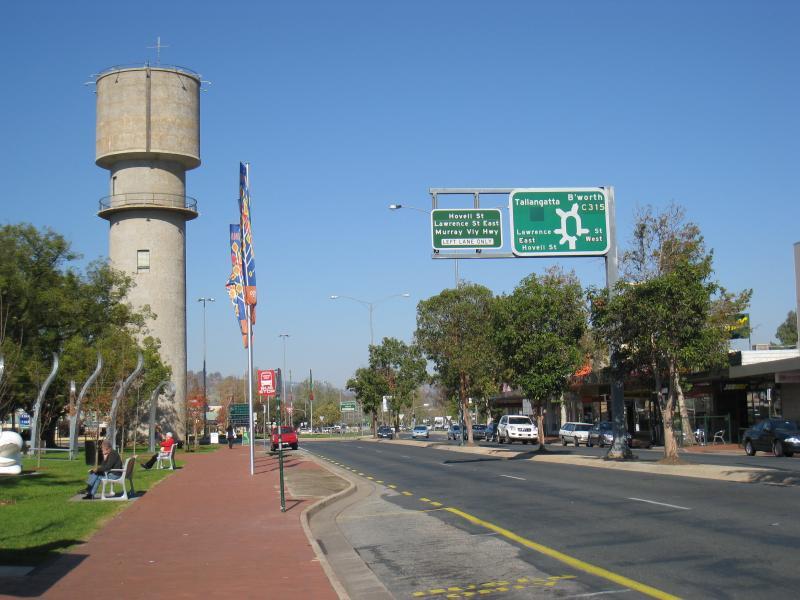
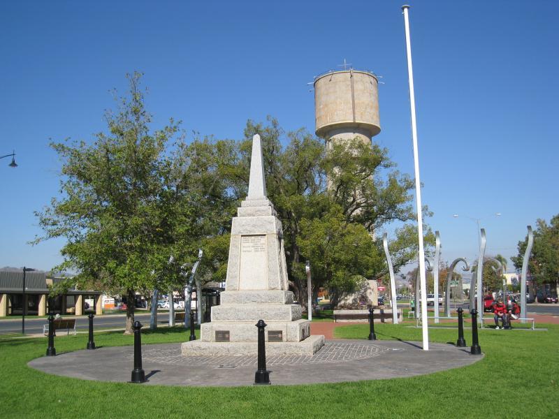
Shops along High Street south of railway line, Stanley Street and Woodland Grove - War memorial and water tower, Woodland Grove
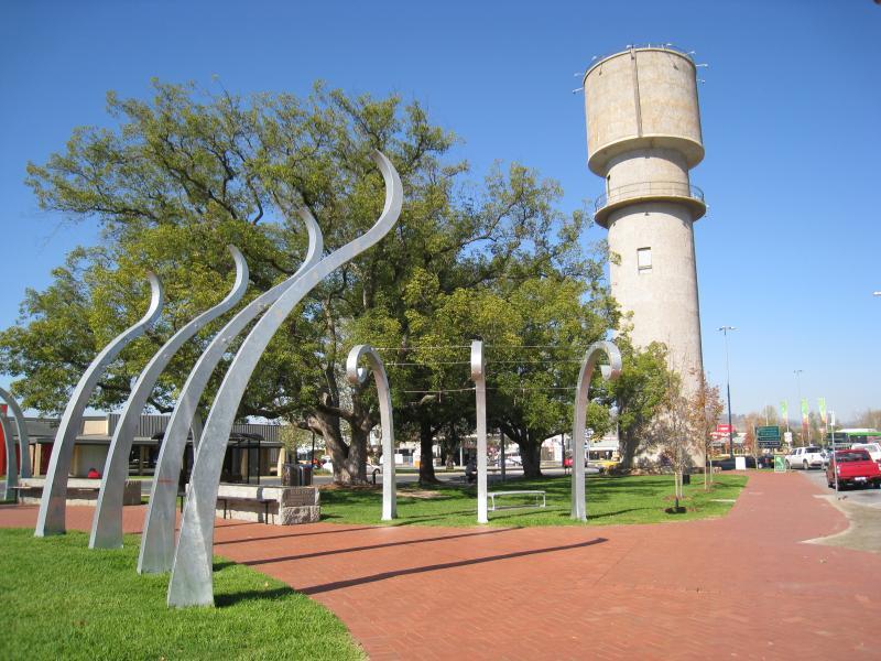
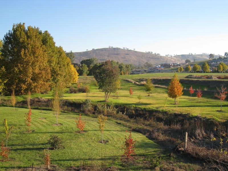
Shops along High Street south of railway line, Stanley Street and Woodland Grove - View south through Woodland Grove towards water tower
Shops along High Street south of railway line, Stanley Street and Woodland Grove - View south through Woodland Grove towards water tower
Shops along High Street south of railway line, Stanley Street and Woodland Grove - West side of High St at Woodland Grove
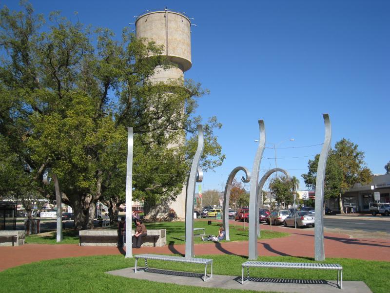
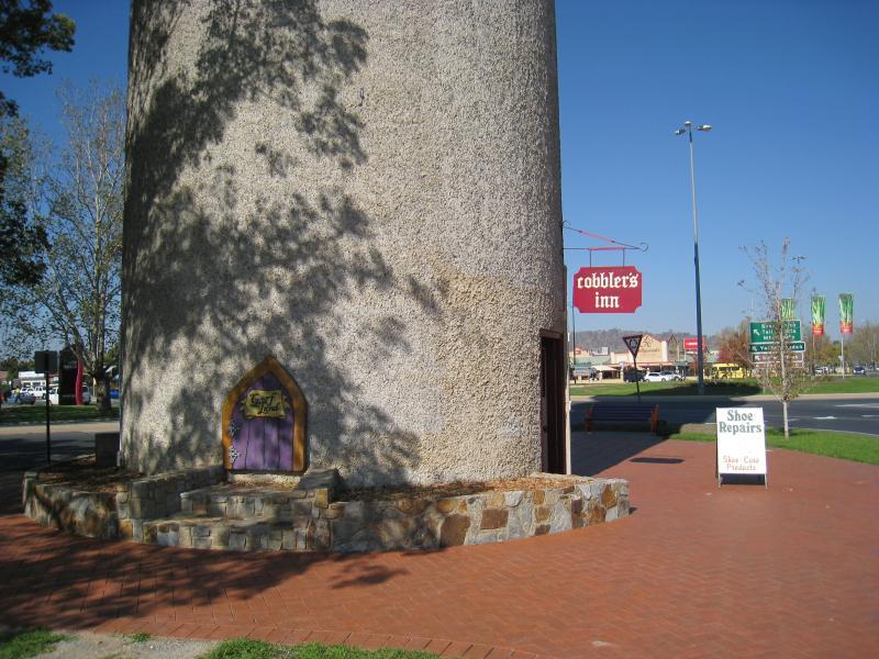
Shops along High Street south of railway line, Stanley Street and Woodland Grove - Cobbler's Inn, base of water tower at Woodland Grove
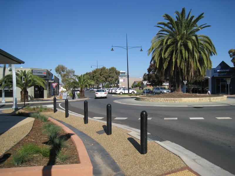
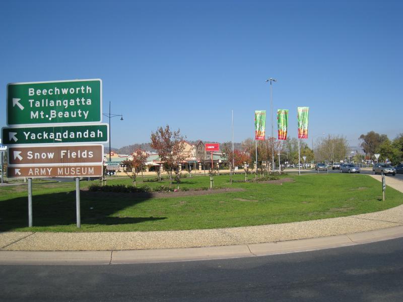
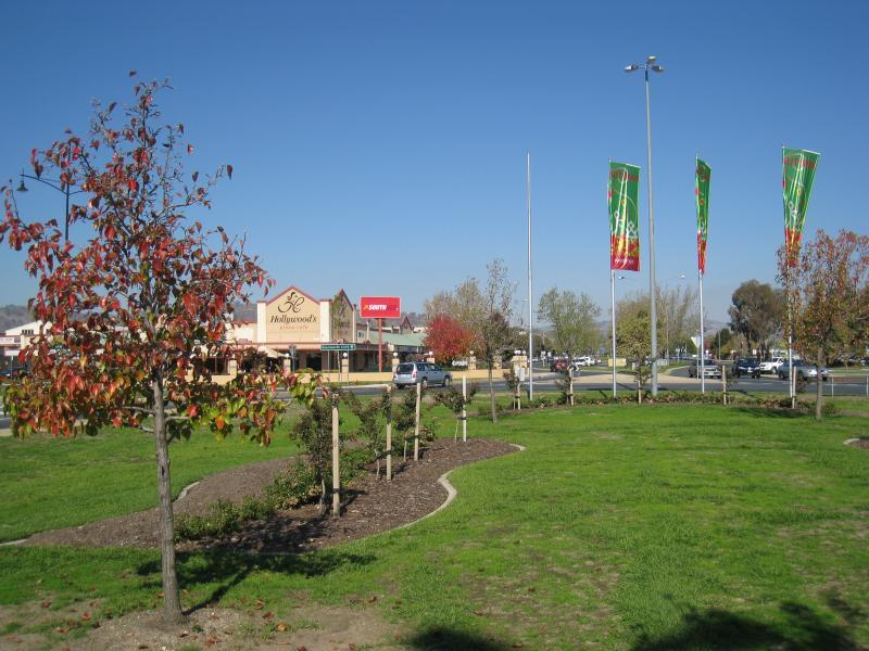
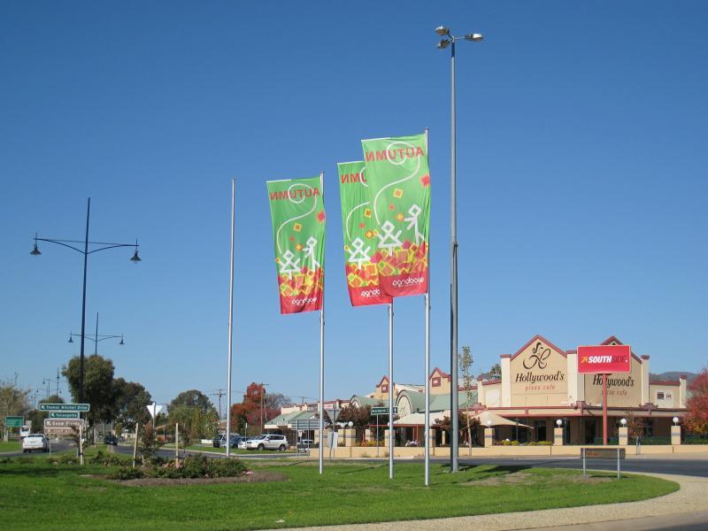
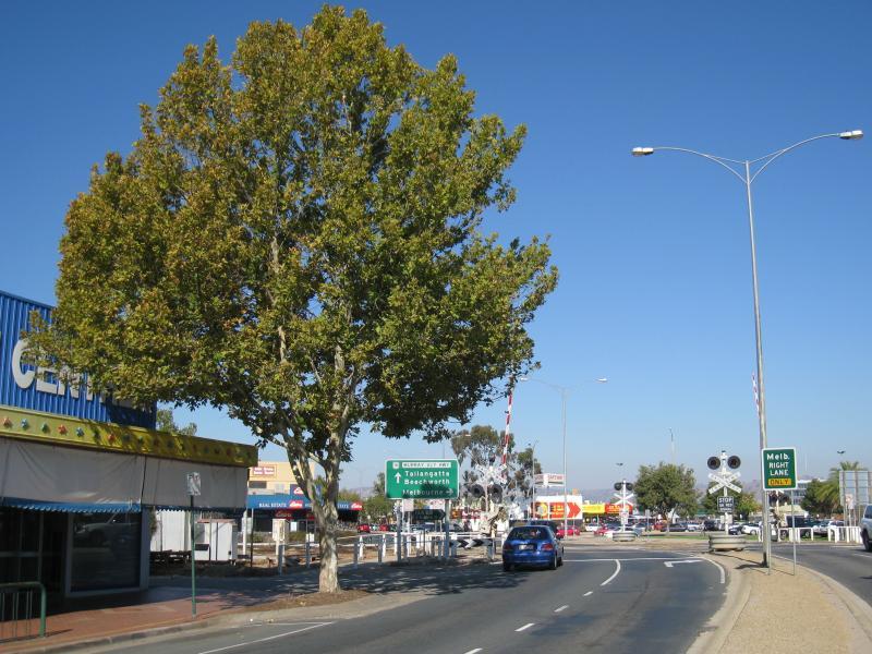
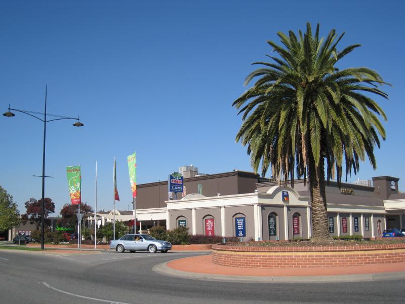
Shops along High Street south of railway line, Stanley Street and Woodland Grove - View south across roundabout at southern end of High St
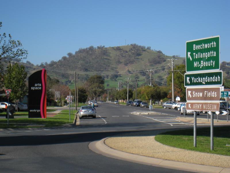
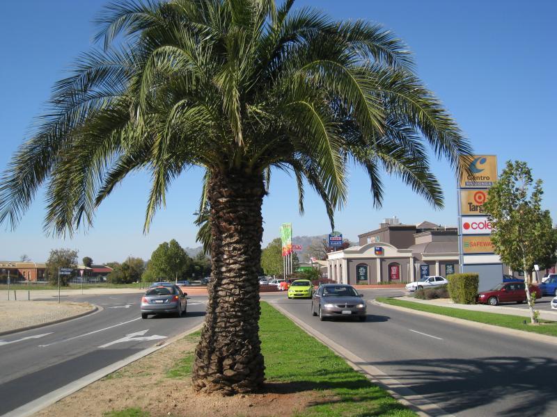
Shops along High Street south of railway line, Stanley Street and Woodland Grove - View south through roundabout towards Beechworth Rd
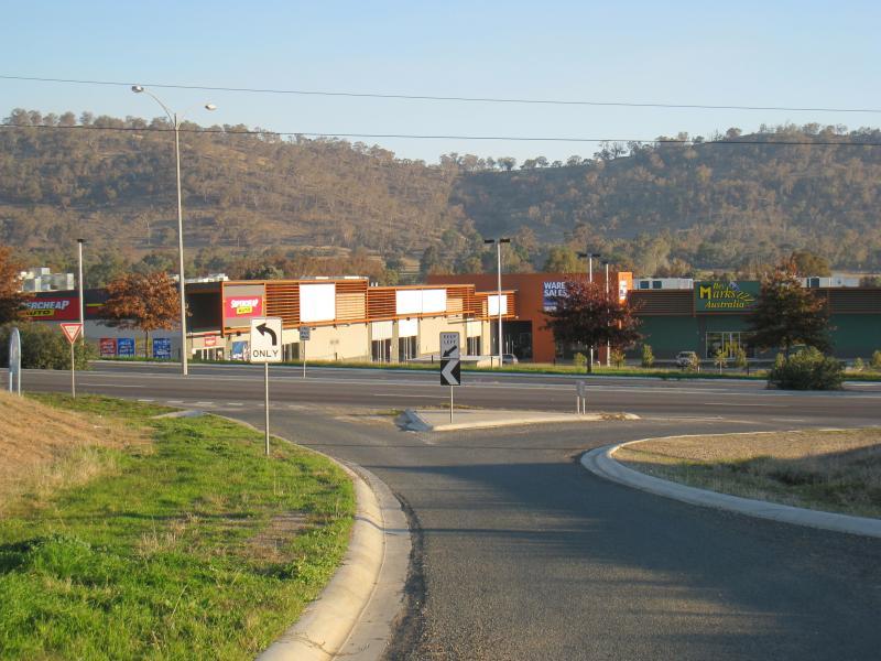
Shops along High Street south of railway line, Stanley Street and Woodland Grove - Southside shops, corner Beechworth Rd and Thomas Mitchell Dr
Shops along High Street south of railway line, Stanley Street and Woodland Grove - View south-east along Thomas Mitchell Dr at roundabout
Shops along High Street south of railway line, Stanley Street and Woodland Grove - View east along Lawrence St at roundabout
Shops along High Street south of railway line, Stanley Street and Woodland Grove - Sesame Street arcade at car park behind shops along eastern side of High St
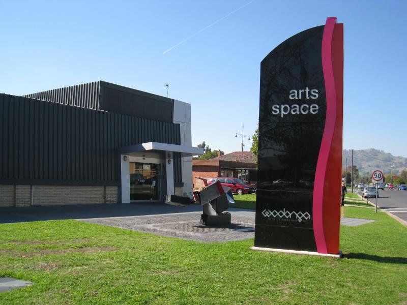
Cultural precinct, Hovell Street between Lawrence St and Elgin Boulevard - Arts Space Wodonga, Lawrence St entrance
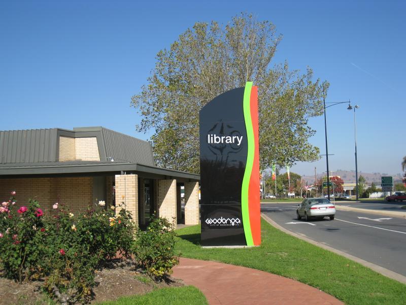
Cultural precinct, Hovell Street between Lawrence St and Elgin Boulevard - Library entrance
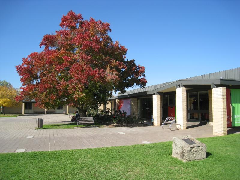
Cultural precinct, Hovell Street between Lawrence St and Elgin Boulevard - View south-west along Hovell St at library
Cultural precinct, Hovell Street between Lawrence St and Elgin Boulevard - View south-west along Hovell St towards library
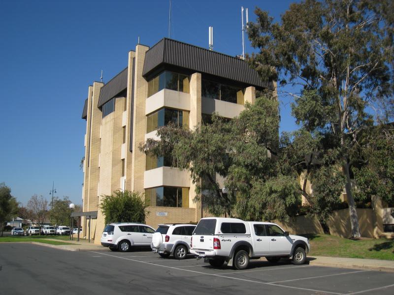
Cultural precinct, Hovell Street between Lawrence St and Elgin Boulevard - Wodonga City council offices
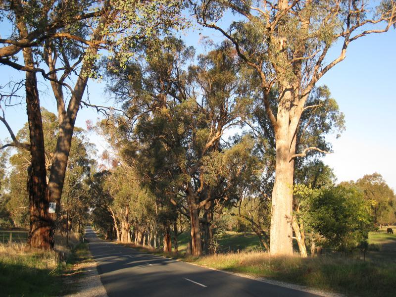
Cultural precinct, Hovell Street between Lawrence St and Elgin Boulevard - View east along Elgin Bvd near Hovell St
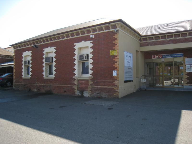
Wodonga railway station, Elgin Boulevard - Entrance to station at car park
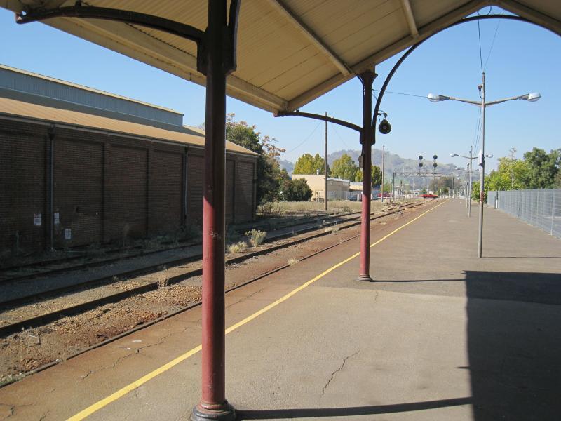
Wodonga railway station, Elgin Boulevard - View south-east along station platform
Wodonga railway station, Elgin Boulevard - View south-east along station platform towards High St crossing
High Street north of railway line and surrounding streets - View south along High St towards Wodonga St
High Street north of railway line and surrounding streets - View south along High St at Wodonga St
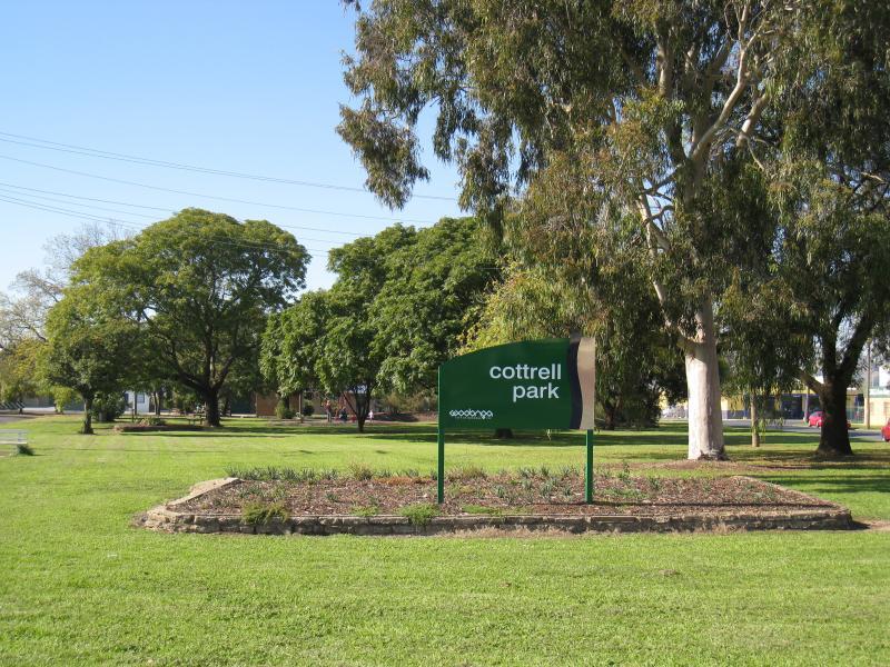
High Street north of railway line and surrounding streets - Cottrell Park, Wodonga St
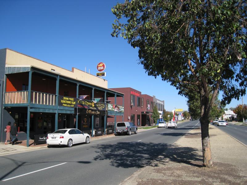
High Street north of railway line and surrounding streets - O'Maille's Pub, High St between Wodonga St and Huon St
High Street north of railway line and surrounding streets - View south along High St towards Osburn St
High Street north of railway line and surrounding streets - View south along High St towards Osburn St
High Street north of railway line and surrounding streets - View south-east along Osburn St towards Queen St
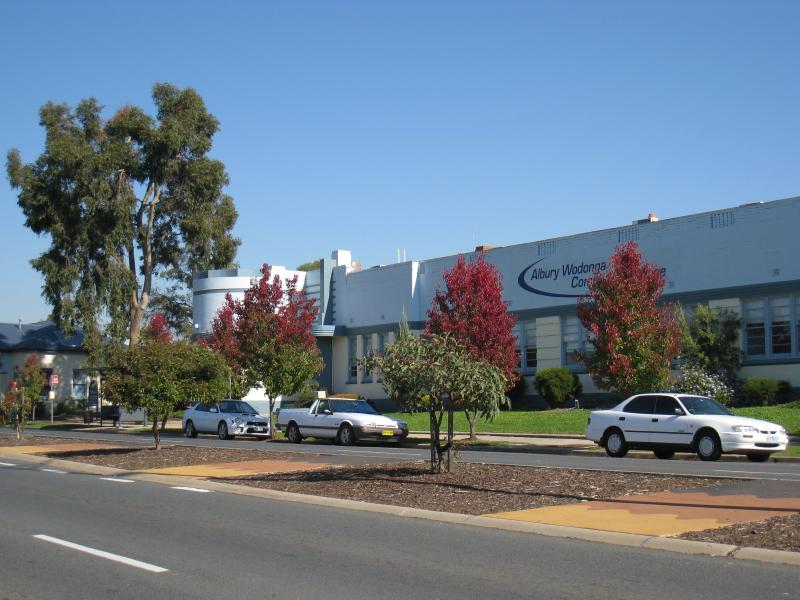
High Street north of railway line and surrounding streets - Albury Wodonga Community College, High St between Osburn St and South St
High Street north of railway line and surrounding streets - View south along High St towards South St
High Street north of railway line and surrounding streets - View south along High St towards South St
High Street north of railway line and surrounding streets - View south along High St at South St
High Street north of railway line and surrounding streets - View east along South St towards Hovell St
High Street north of railway line and surrounding streets - View south along High St, just south of South St
High Street north of railway line and surrounding streets - Shops along east side of High St, south of South St
High Street north of railway line and surrounding streets - View south along High St between South St and railway crossing
High Street north of railway line and surrounding streets - View south along High St between South St and railway crossing
High Street north of railway line and surrounding streets - View south along High St towards railway crossing
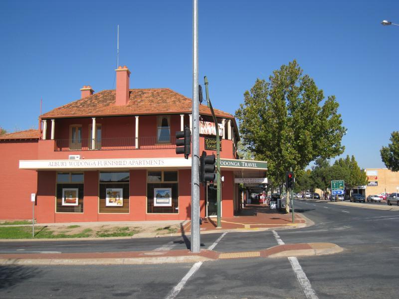
Elgin Boulevard - Elgin's Hotel, view east along Elgin Bvd at Smythe St
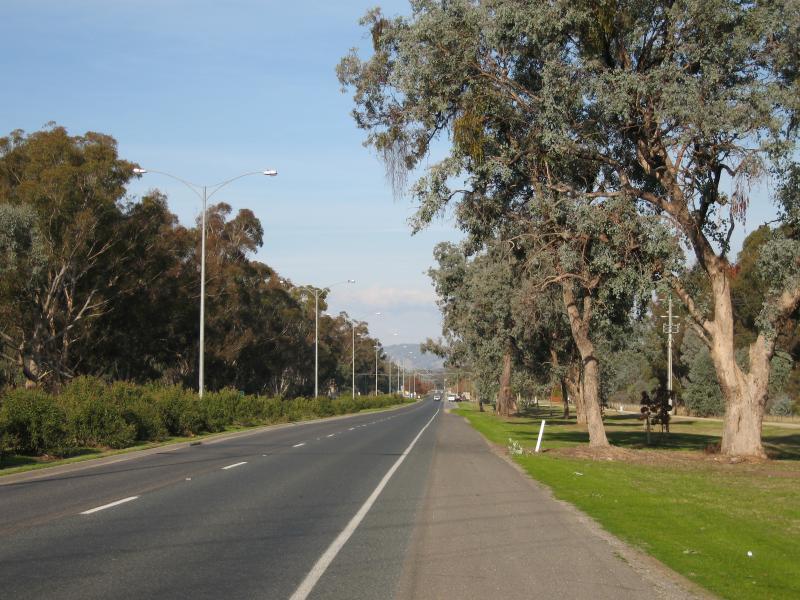
Elgin Boulevard - View east along Elgin Bvd towards Smythe St
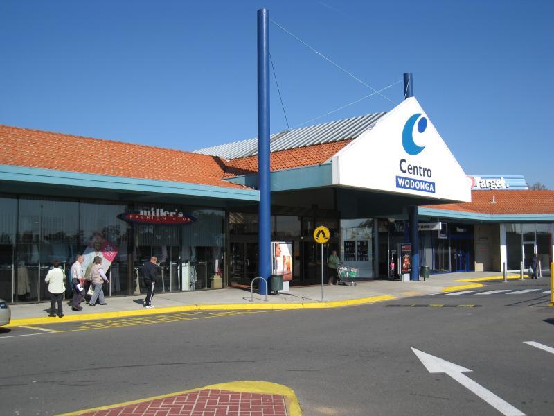
Elgin Boulevard - Centro Wodonga shopping centre entrance
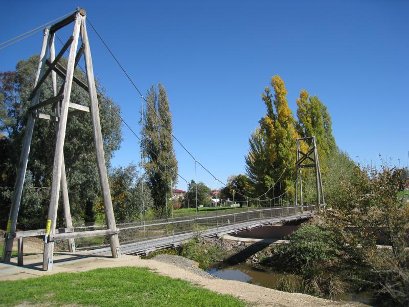
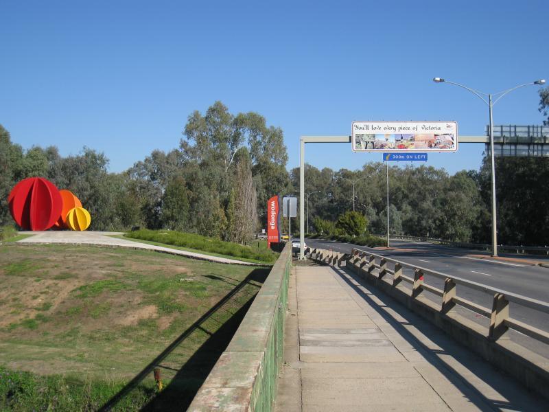
Elgin Boulevard - View west towards footbridge at House Creek
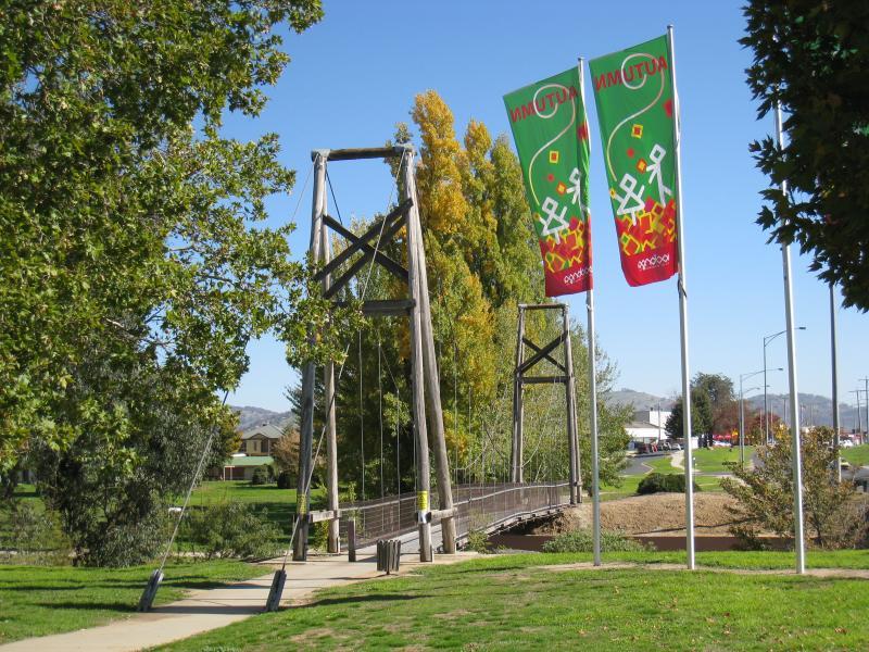
Elgin Boulevard - Footbridge over House Creek
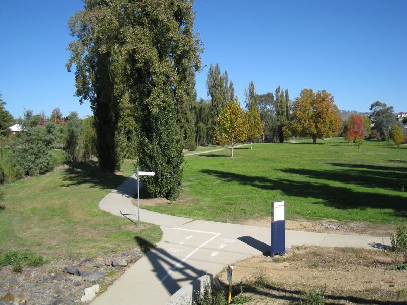
Elgin Boulevard - View south through park from footbridge across House Creek
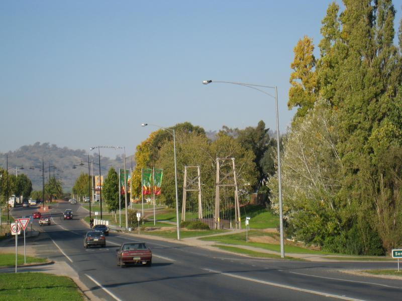
Elgin Boulevard - View east along Melbourne Rd towards footbridge at House Creek
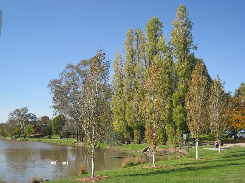
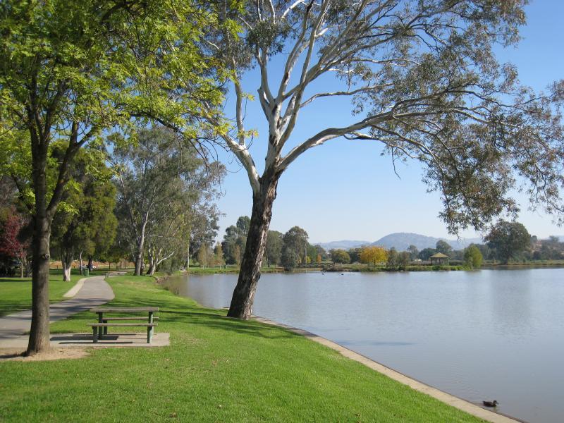
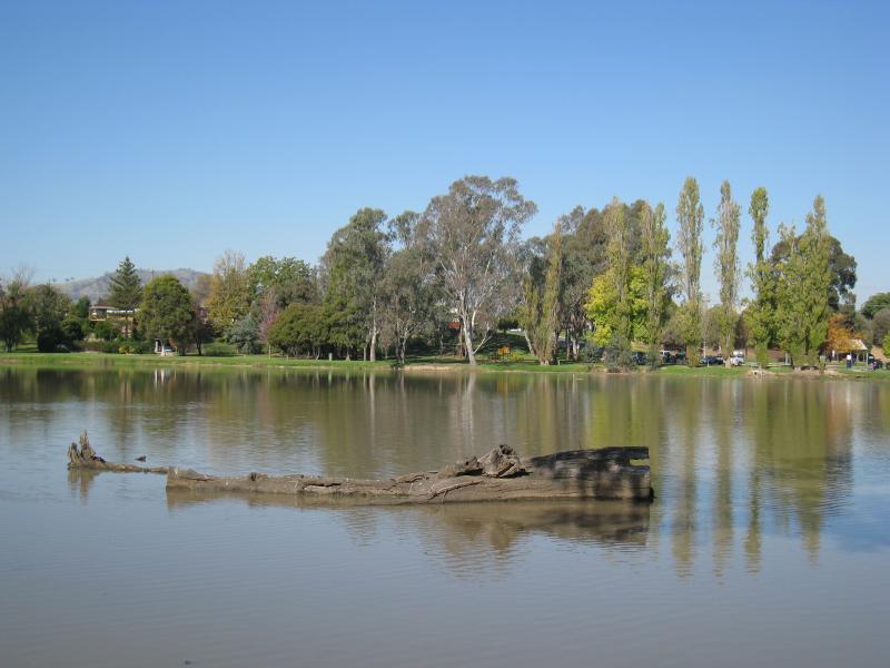
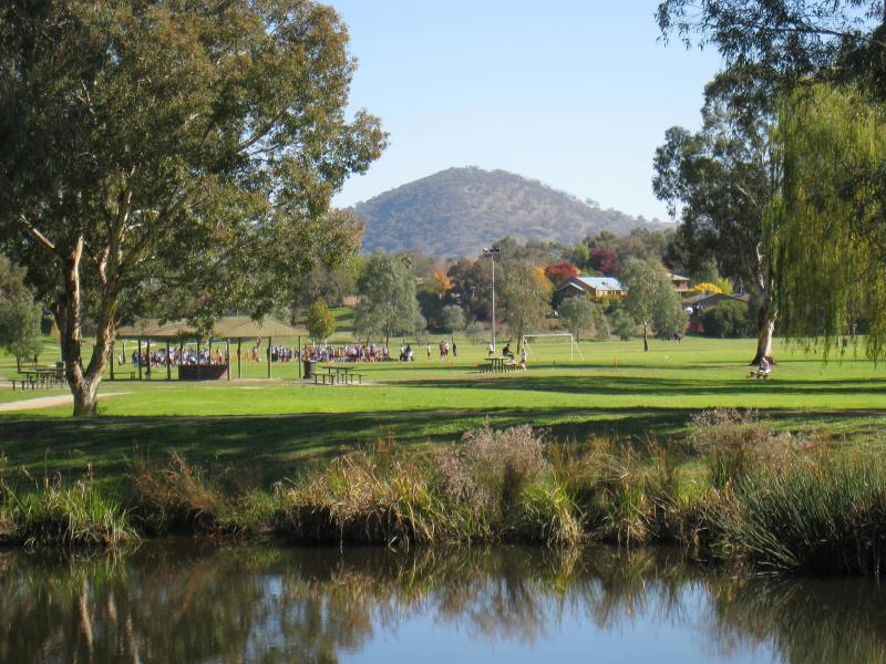
Sumsion Gardens - View north-east along lake from near car park at western end of Huon St
Sumsion Gardens - View south-east towards car park from bridge across to island
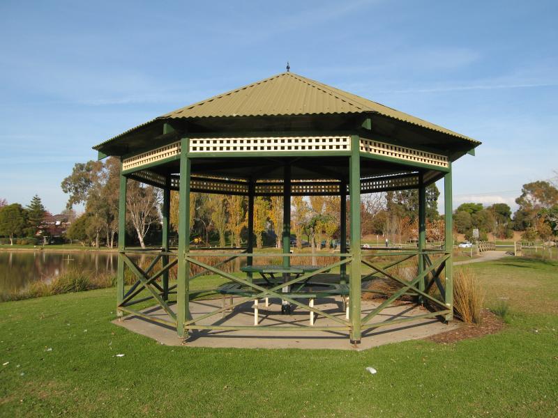
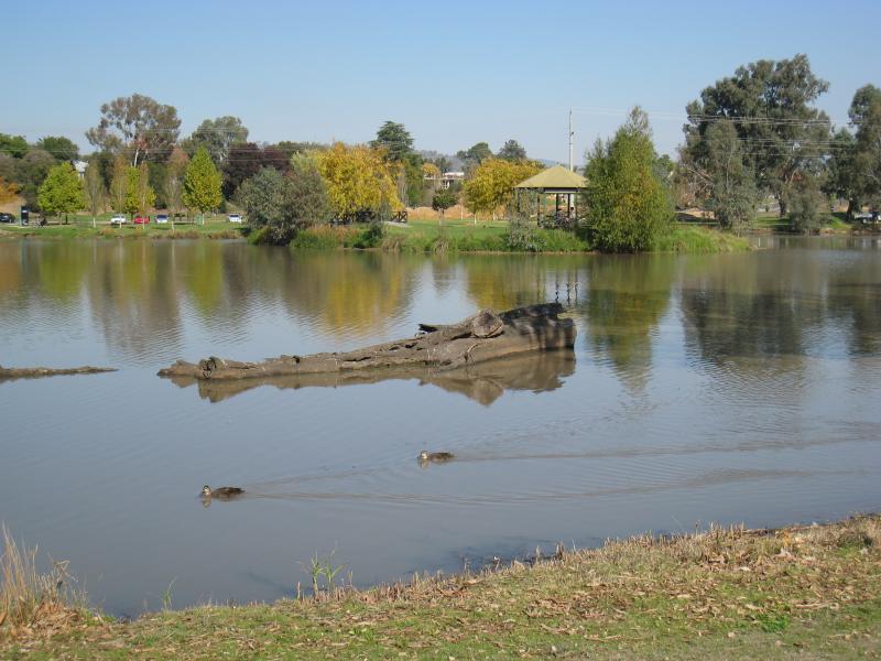
Sumsion Gardens - Rotunda on island in lake
Sumsion Gardens - View east across lake from island in lake
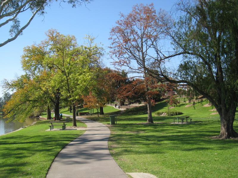
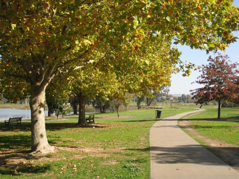
Sumsion Gardens - Pathway from car park to lake
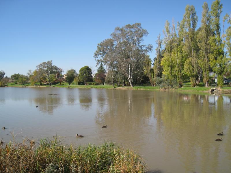
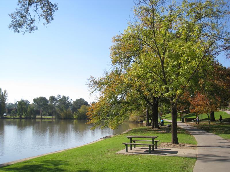
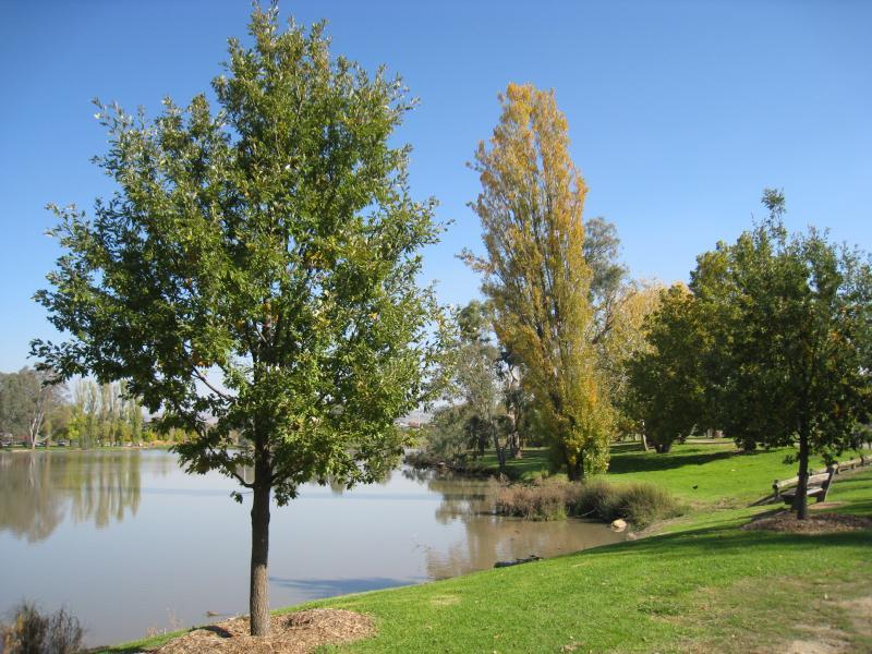
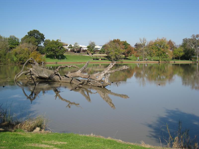
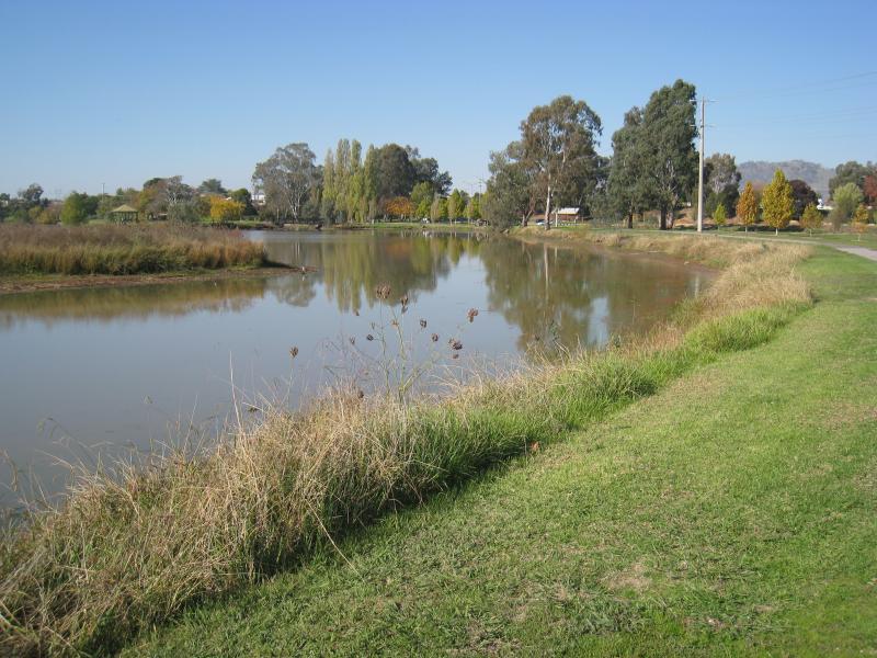
Sumsion Gardens - View south-west along eastern side of lake
Sumsion Gardens - View north-east along eastern side of lake
Sumsion Gardens - View north-east along eastern side of lake
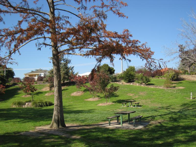
Sumsion Gardens - Grassy slopes between lake and Church St
Sumsion Gardens - View south-west along eastern side of lake
Sumsion Gardens - View south-west along eastern side of lake
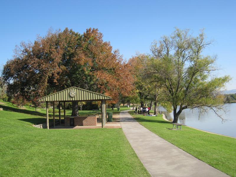
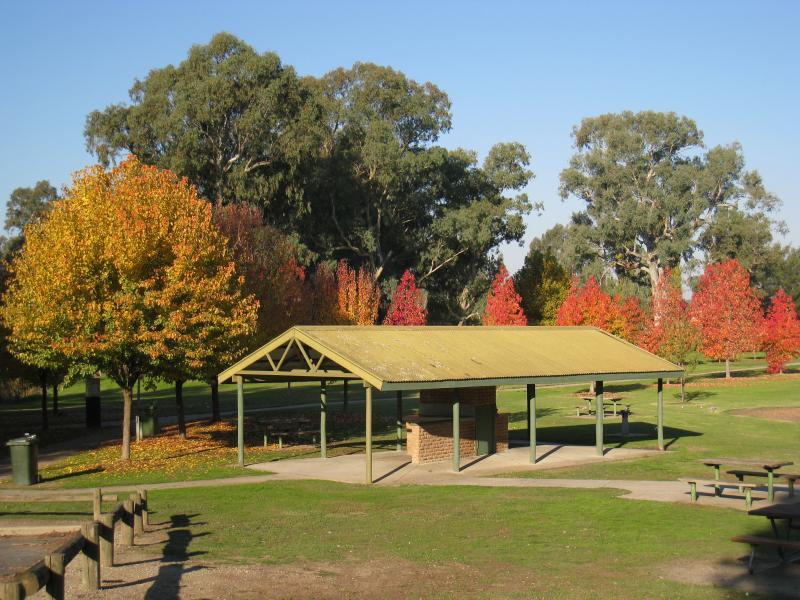
Sumsion Gardens - Rotary Club BBQ shelter, east side of lake
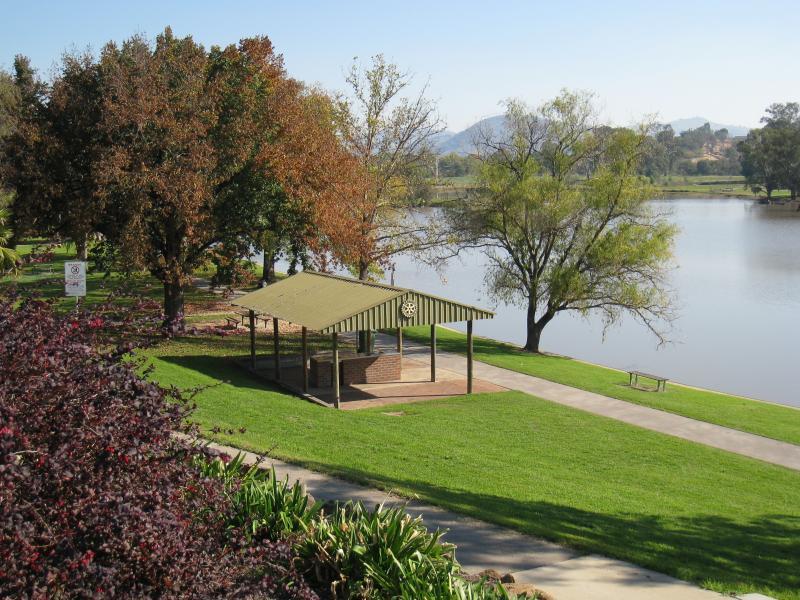
Sumsion Gardens - View south-west towards lake and Rotary Club BBQ shelter from slopes along east side of lake
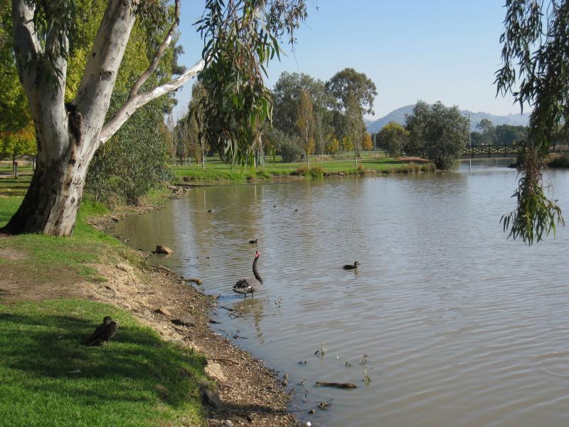
Sumsion Gardens - View south-west along lake near north-eastern corner
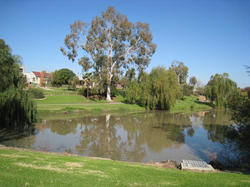
Sumsion Gardens - View south across lake from its northern side
Sumsion Gardens - View south-west along northern side of lake
Sumsion Gardens - View south-east across lake from its northern side
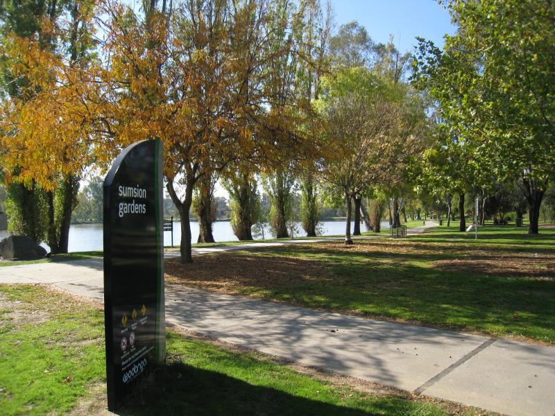
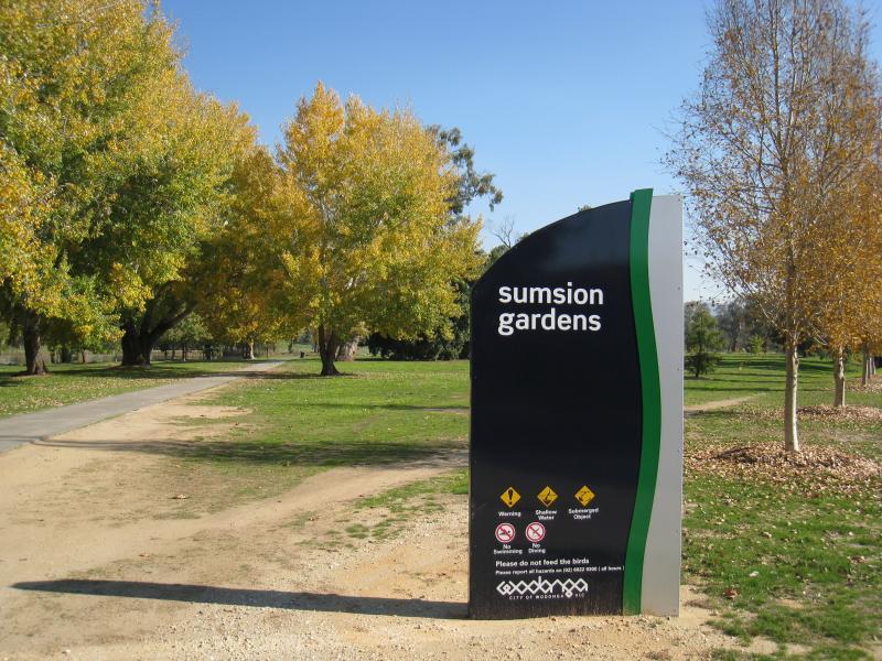
Sumsion Gardens - Sumsion Gardens sign, north side of lake off Reuss Rd
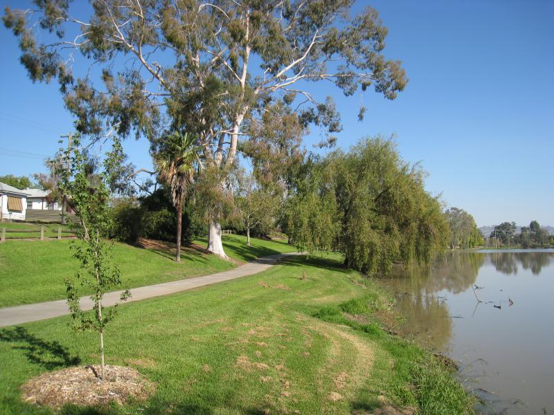
Sumsion Gardens - Pathway along lake's north-western side
Sumsion Gardens - View east across lake from its north-western side
Sumsion Gardens - View south-east across lake from its north-western side towards island and rotunda
Sumsion Gardens - View east along southern side of lake
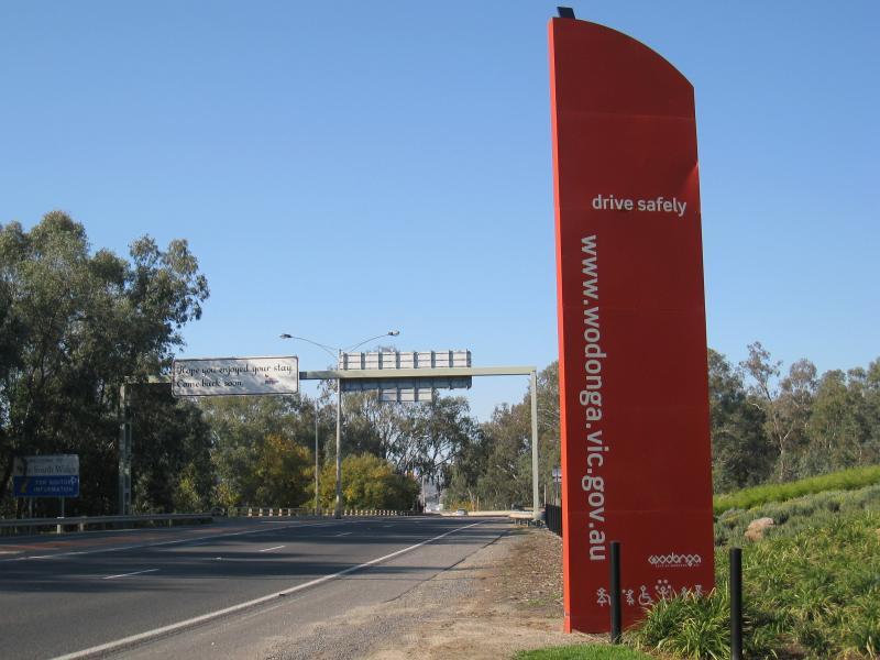
Gateway Village, Gateway Island - View south along Lincoln Causeway, 500 metres north of Hume Fwy
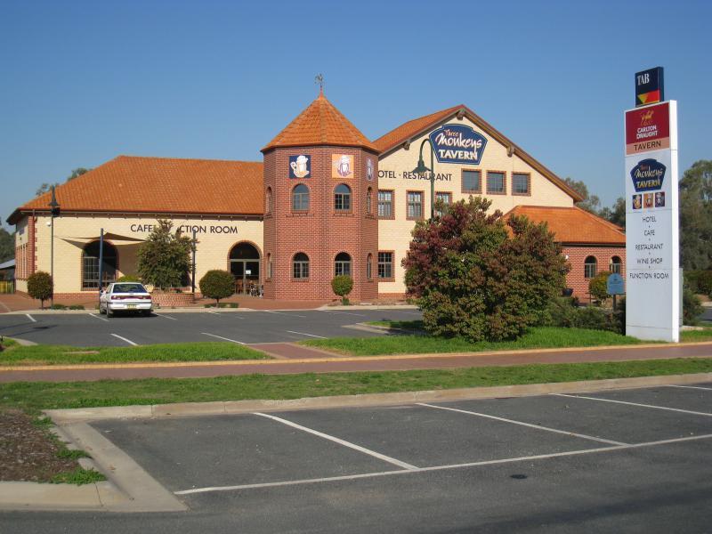
Gateway Village, Gateway Island - Three Monkeys Tavern, Lincoln Causeway
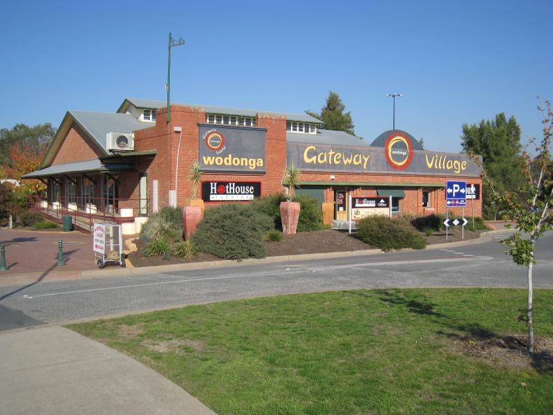
Gateway Village, Gateway Island - HotHouse Theatre
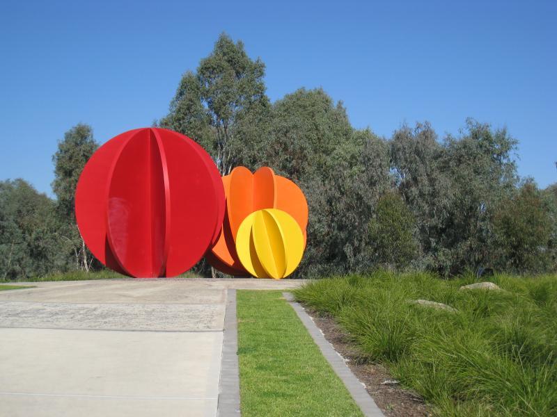
Gateway Village, Gateway Island - Gardens behind HotHouse Theatre
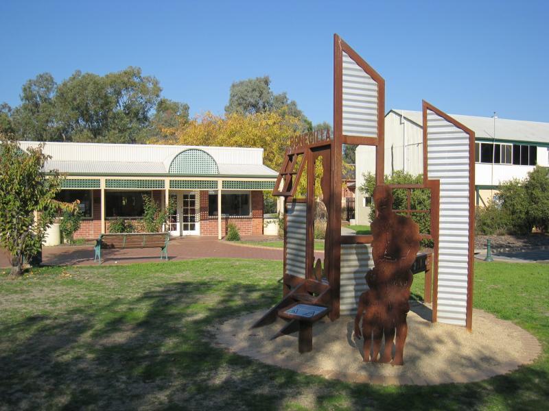
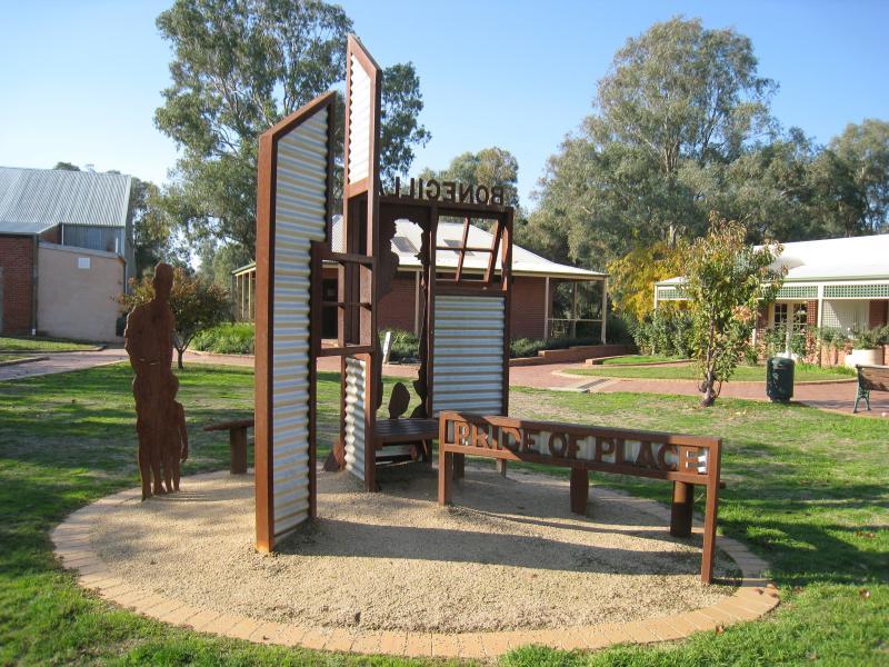
Gateway Village, Gateway Island - Bonegilla monument, gardens behind HotHouse Theatre
Gateway Village, Gateway Island - Bonegilla monument, gardens behind HotHouse Theatre
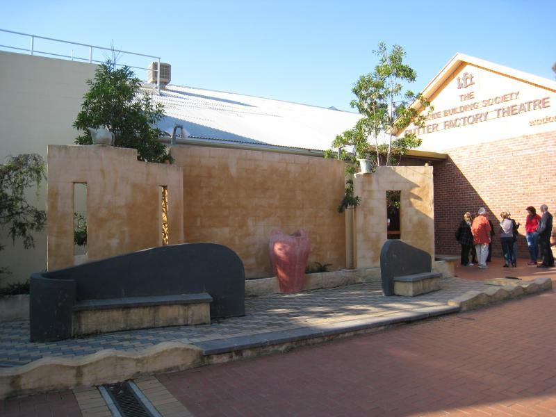
Gateway Village, Gateway Island - Butter Factory Theatre
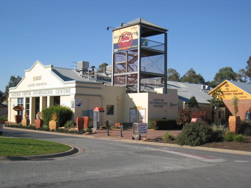
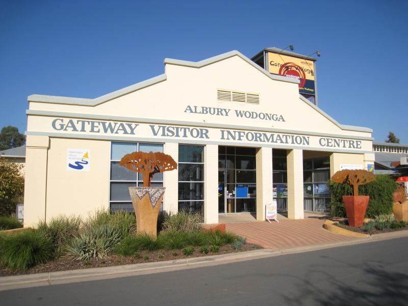
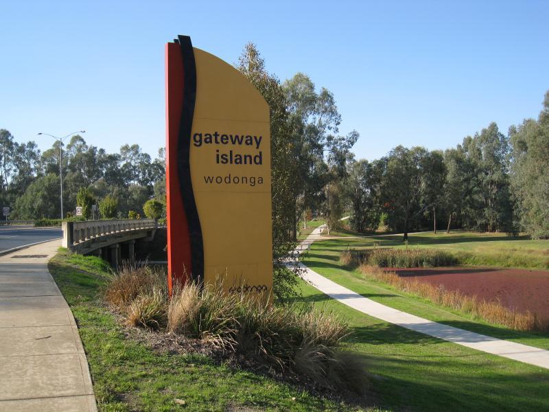
Gateway Village, Gateway Island - Gateway Visitor Information Centre
Gateway Village, Gateway Island - Entrance to Gateway Visitor Information Centre
Gateway Village, Gateway Island - La Maison Cafe (old Customs House building) next to visitor centre
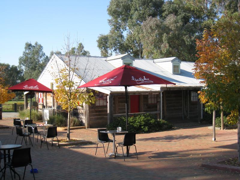
Gateway Village, Gateway Island - Courtyard behind La Maison Cafe and Musikids studio
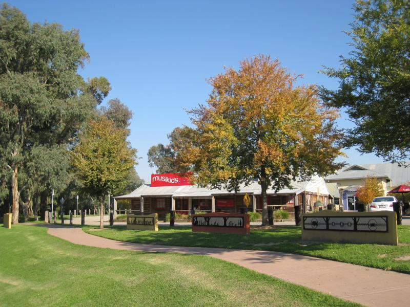
Gateway Village, Gateway Island - Musikids studio and park fronting Byrne Lagoon
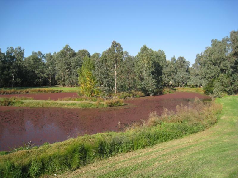
Gateway Village, Gateway Island - Byrne Lagoon
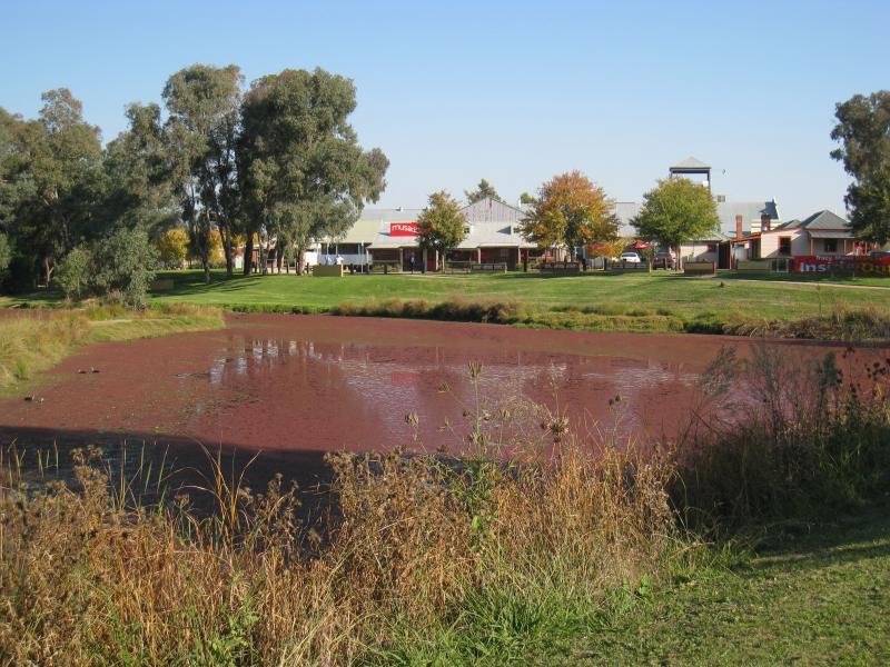
Gateway Village, Gateway Island - View south across Byrne Lagoon towards Gateway Village
Gateway Village, Gateway Island - View north-east along Lincoln Causeway at Byrne Lagoon
State border between Victoria and New South Wales, Gateway Island - View north-east along Lincoln Causeway towards state border and Union Bridge
State border between Victoria and New South Wales, Gateway Island - Wodonga City sign, view south-east along Lincoln Causeway south of Union Bridge
State border between Victoria and New South Wales, Gateway Island - Porta sculpture at gardens south of Union Bridge
State border between Victoria and New South Wales, Gateway Island - Gardens and bush south of Union Bridge
State border between Victoria and New South Wales, Gateway Island - View south-west along Union Bridge towards state border
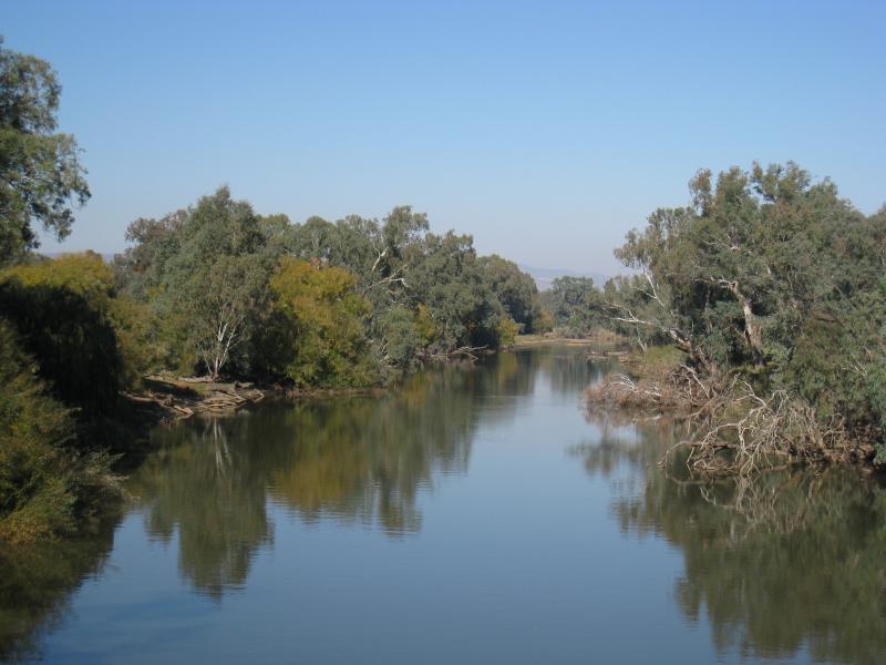
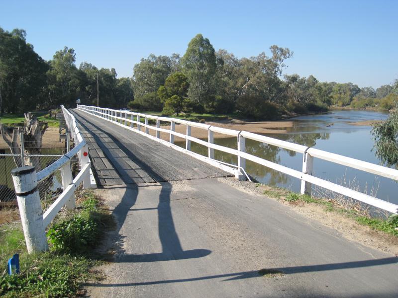
State border between Victoria and New South Wales, Gateway Island - View south along Murray River from Union Bridge
Les Stone Park, corner Lawrence Street and Parkland Drive - BBQ shelter at car park
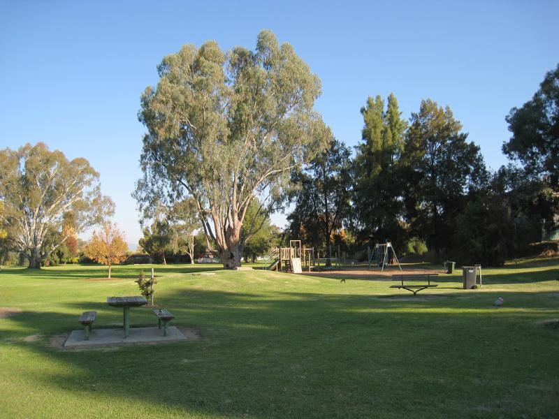
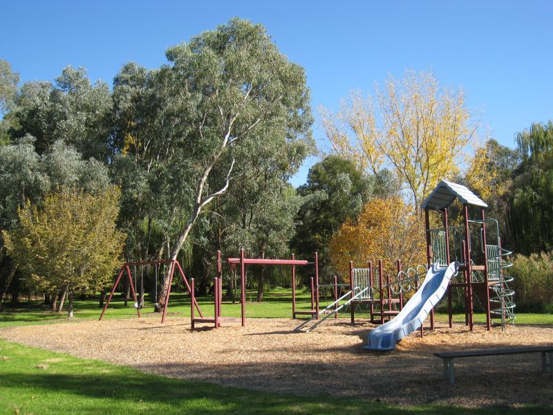
Les Stone Park, corner Lawrence Street and Parkland Drive - Playground
Les Stone Park, corner Lawrence Street and Parkland Drive - Pathway through park
Les Stone Park, corner Lawrence Street and Parkland Drive - Lawns
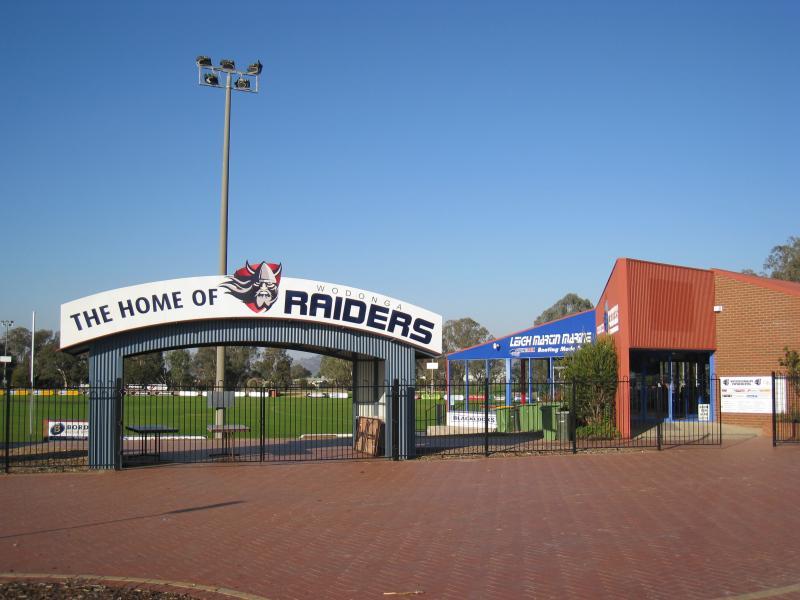
Biralee Park, corner Marshall Street and Emerald Avenue - Entrance to oval and Wodonga Raiders sign
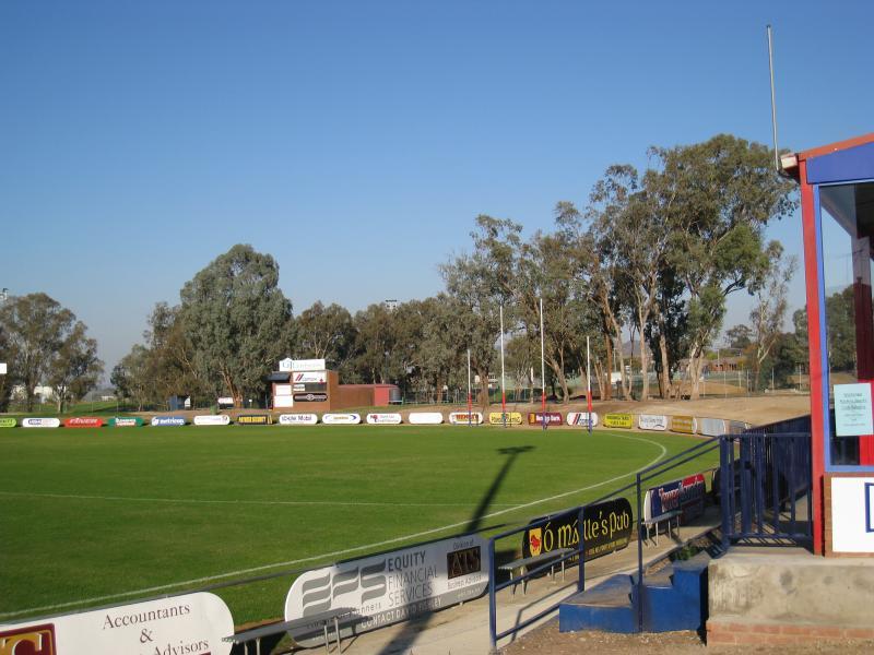
Biralee Park, corner Marshall Street and Emerald Avenue - View across oval
Biralee Park, corner Marshall Street and Emerald Avenue - View south along Marshall Street
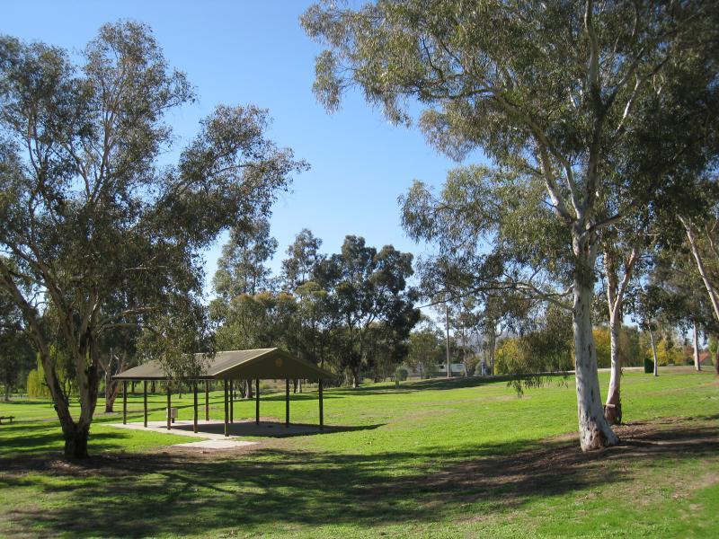
Willow Park, Pearce Street - Shelter and lawns
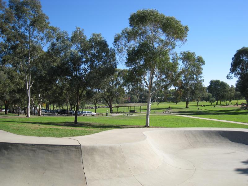
Willow Park, Pearce Street - Skate bowl
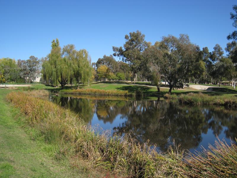
Willow Park, Pearce Street - Lake near House Creek
Willow Park, Pearce Street - Lake near to House Creek
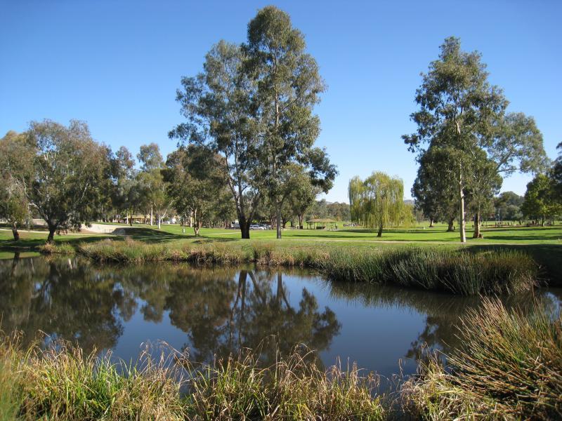
Willow Park, Pearce Street - View across lake towards oval
Willow Park, Pearce Street - Sports oval and BBQ shelter
Beechworth Road - View south along Beechworth Rd at Woodland St
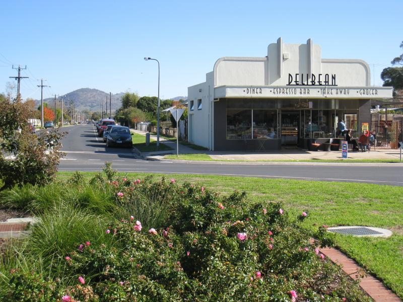
Beechworth Road - Delibean cafe, view west along Wilson St at Beechworth Rd
Beechworth Road - View south along Beechworth Rd at Pearce St
Beechworth Road - View south along Beechworth Rd at Pearce St
Beechworth Road - View west along Pearce St at Beechworth Rd
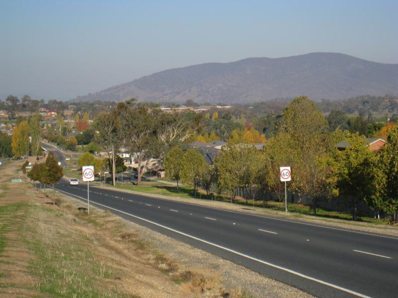
Beechworth Road - View south along Beechworth Rd, south of Pearce St
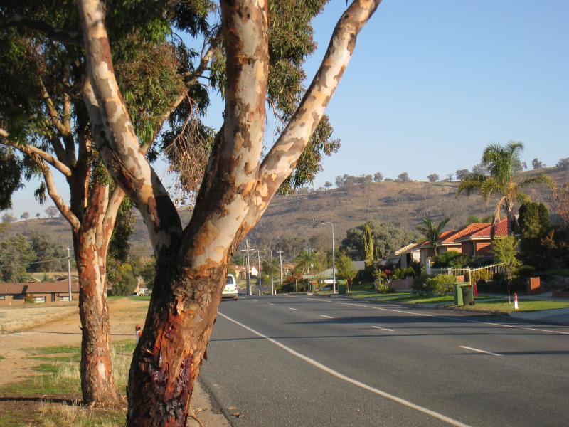
Beechworth Road - View south along Beechworth Rd, north of Boyes Rd
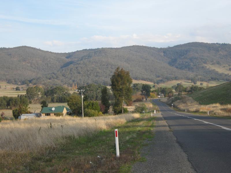
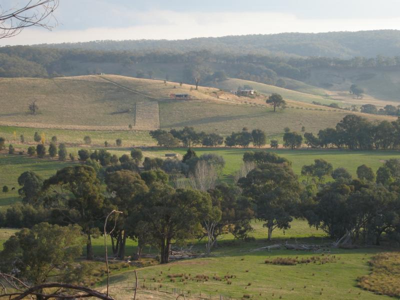
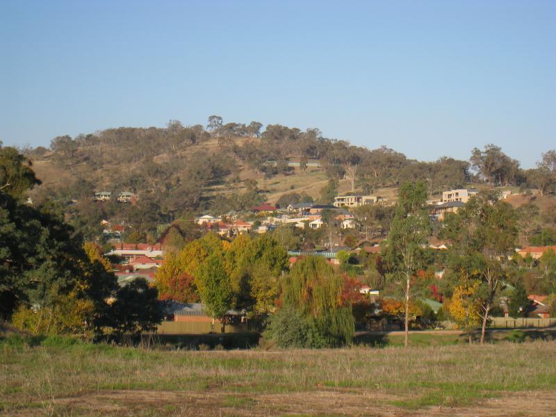
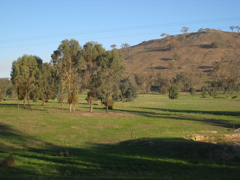
Beechworth Road - View south-west from Beechworth Rd near Brewers Rd
Yarralumba Drive - View south-east along Yarralumba Dr towards Jevington Dr
Yarralumba Drive - South-easterly view along path beside Yarralumba Dr towards Jevington Dr
Yarralumba Drive - Easterly view from Yarralumba Dr west of Jevington Dr
Yarralumba Drive - Southerly view from Yarralumba Dr at Huon Creek
Park beside Huon Creek Road at House Creek and Huon Creek - View south-west through park beside creek
Park beside Huon Creek Road at House Creek and Huon Creek - View north-east through park beside creek
Park beside Huon Creek Road at House Creek and Huon Creek - View south-west through park towards Huon Creek Rd
Park beside Huon Creek Road at House Creek and Huon Creek - Picnic tables
Park beside Huon Creek Road at House Creek and Huon Creek - Playground
Huon Creek Road - Easterly view from Huon Creek Rd at Yarralumba Dr
Huon Creek Road - South-easterly view from Huon Creek Rd at Yarralumba Dr
Huon Creek Road - View east along Huon Creek Rd, east of Spring Gully Rd
Huon Creek Road - South-easterly view, Huon Creek Rd, east of Spring Gully Rd
Huon Creek Road - Northerly view from Huon Creek Rd at Spring Gully Rd
Anzac Parade - Southerly view across Anzac Pde towards showrooms, east of Bandiana Link Rd
Anzac Parade - View south-east along Anzac Pde, east of Bandiana Link Rd
Yackandandah Road, south of Baranduda - City of Wodonga sign, south of Lindsay Rd
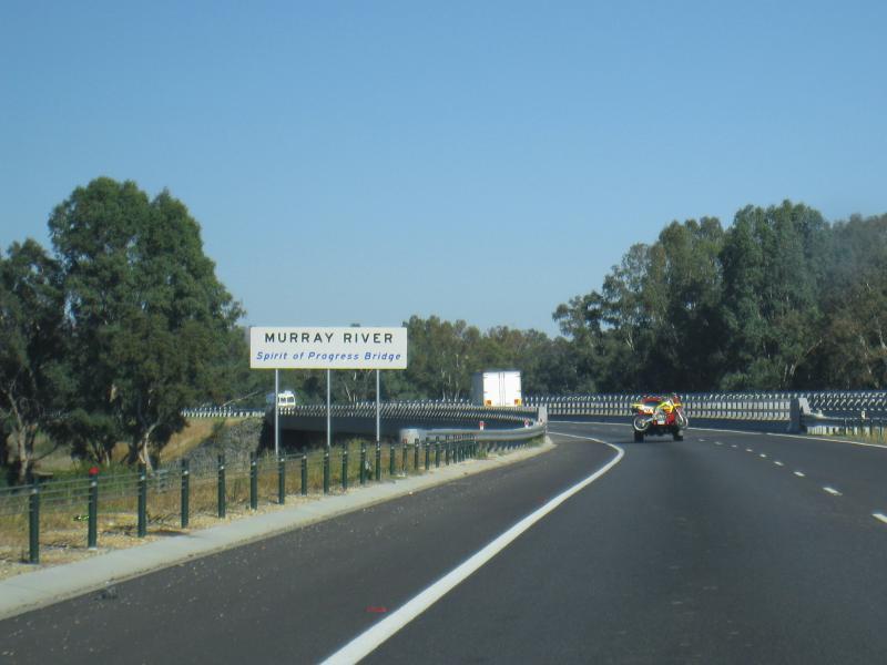
Hume Freeway - View south-west along Hume Fwy towards Spirit of Progress Bridge over Murray River
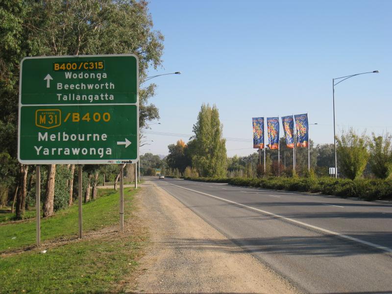
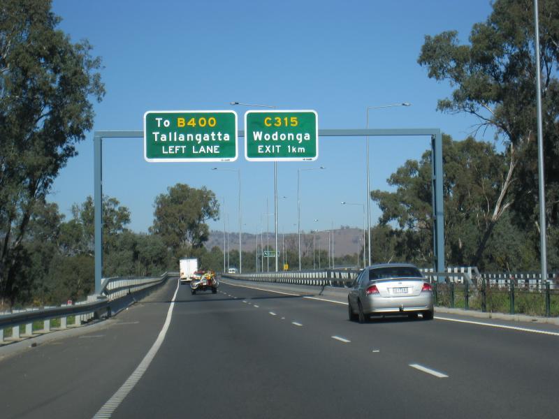
Hume Freeway - View south-west along Hume Fwy towards Bandiana Link Rd exit
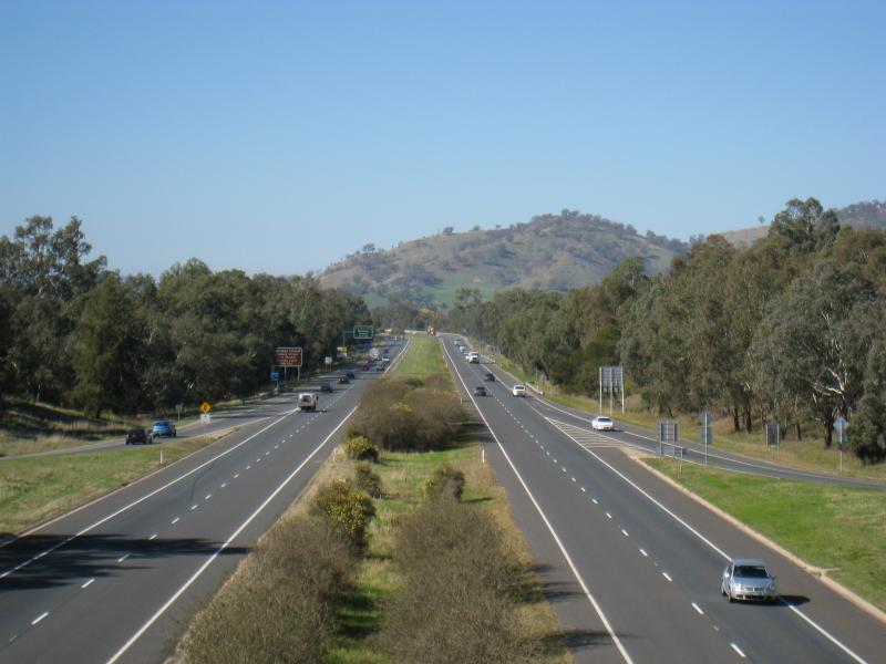
Hume Freeway - View east along Hume Fwy between Melrose Dr and High St
Hume Freeway - View east along Hume Fwy from Melrose Dr overpass
Hume Freeway - View west along Hume Fwy from Melrose Dr overpass
Bonegilla Island (access only via Waterworks Road, East Albury) - View across bridge at Boundary Rd towards Bonegilla Island
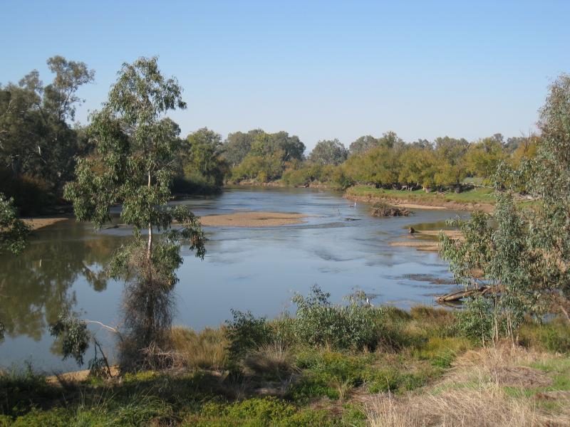
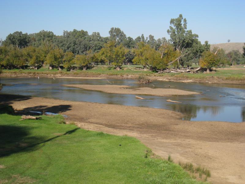
Bonegilla Island (access only via Waterworks Road, East Albury) - View south along Murray River from bridge
Bonegilla Island (access only via Waterworks Road, East Albury) - View south-east along Murray River from bridge
Bonegilla Island (access only via Waterworks Road, East Albury) - View north-west across Murray River at bridge
Bonegilla Island (access only via Waterworks Road, East Albury) - View west across river from park on southern side of bridge
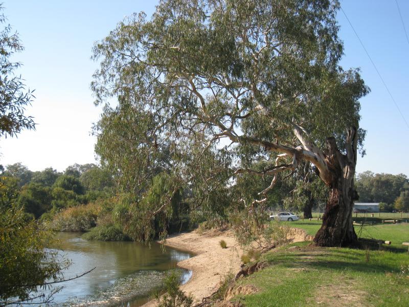
Bonegilla Island (access only via Waterworks Road, East Albury) - View south-east along Murray River from Island Rd along river bank
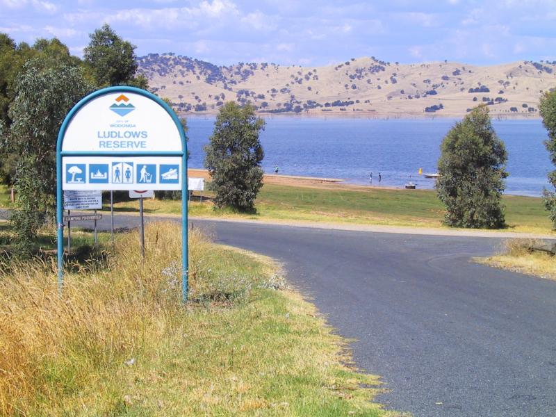
Lake Hume, western shoreline - View down to Lake Hume, Ludlows Reserve, Murray Valley Highway south of Bonegilla
Lake Hume weir and surroundings - Picnic area near dam wall
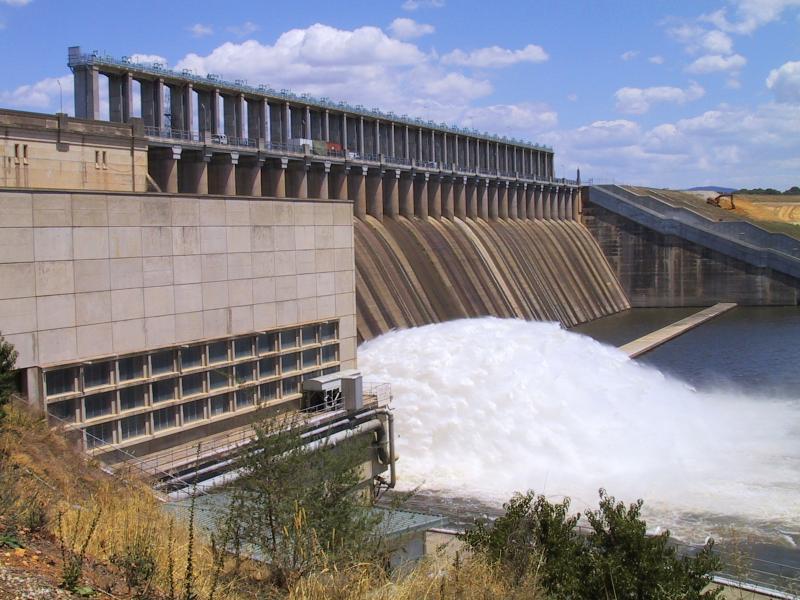
Lake Hume weir and surroundings - View of dam wall
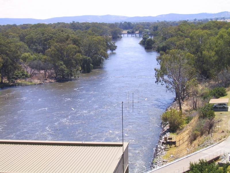
Lake Hume weir and surroundings - View north-west along Murray River from dam wall
Lake Hume weir and surroundings - General store at Lake Hume Tourist Park
Lake Hume weir and surroundings - Cabins at Lake Hume Tourist Park
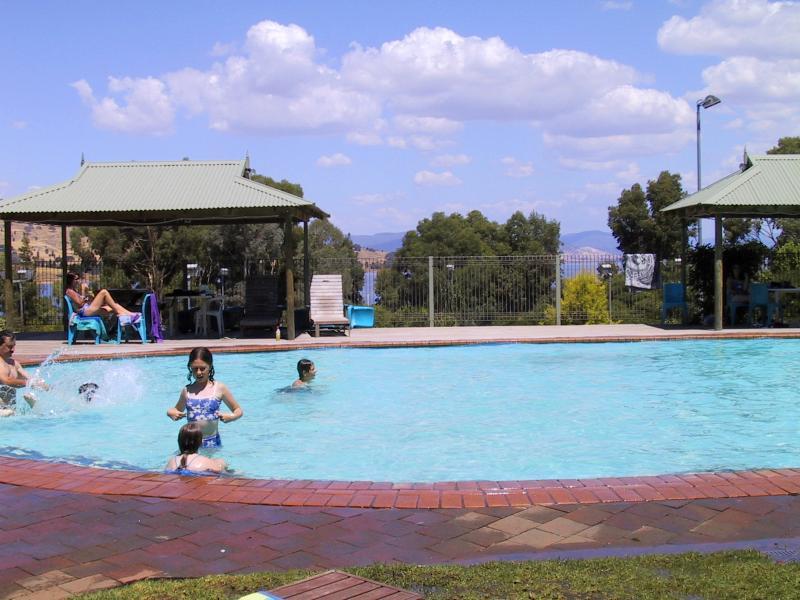
Lake Hume weir and surroundings - Pool at Lake Hume Resort
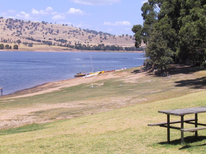
Lake Hume weir and surroundings - View of lake from Lake Hume Tourist Park
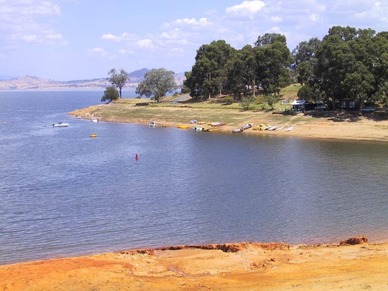
Lake Hume weir and surroundings - View of lake from Lake Hume Tourist Park
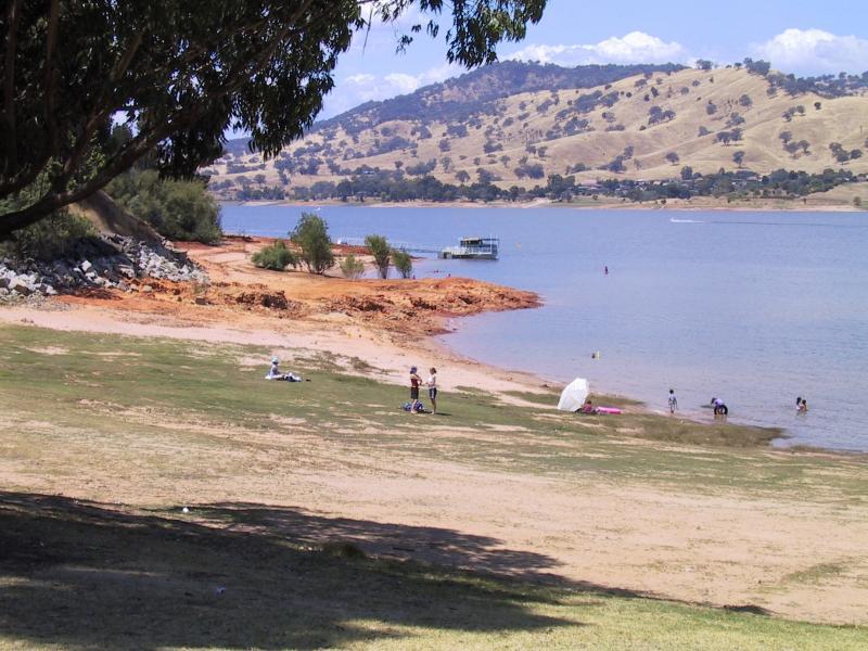
Lake Hume weir and surroundings - View of lake from Lake Hume Tourist Park
Lake Hume at Bethanga Bridge - View south-west along Lake Hume, N.S.W. side of bridge
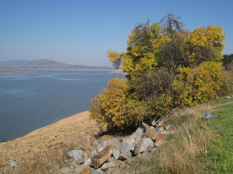
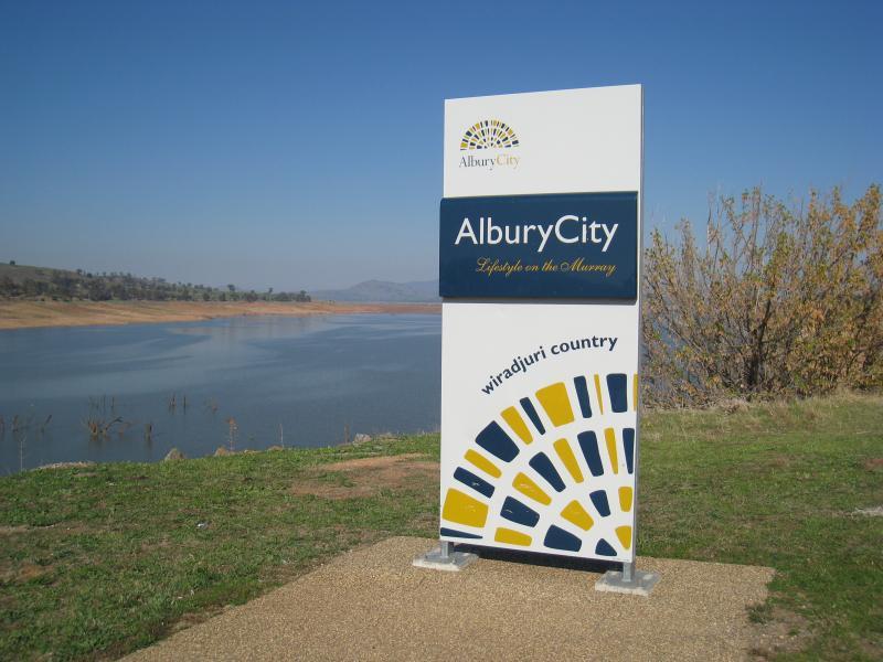
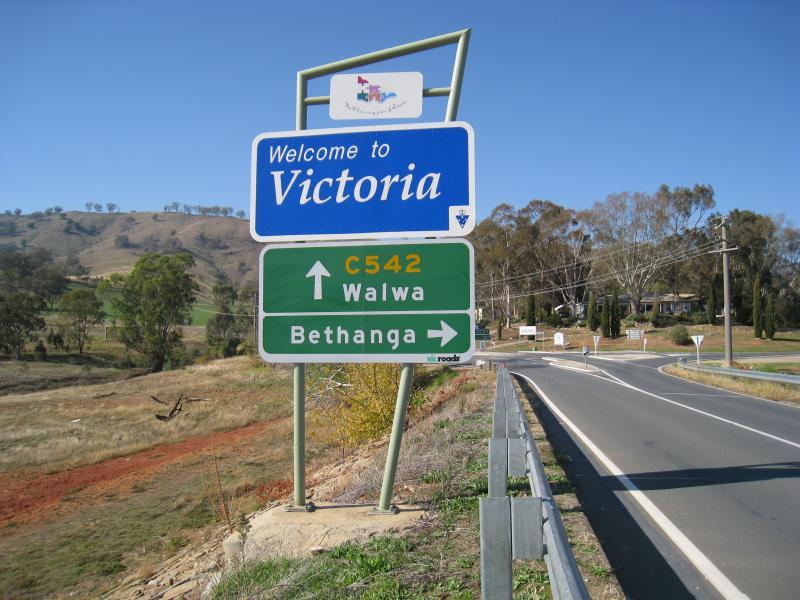
Lake Hume at Bethanga Bridge - Albury City sign, view south across lake from N.S.W. side of bridge
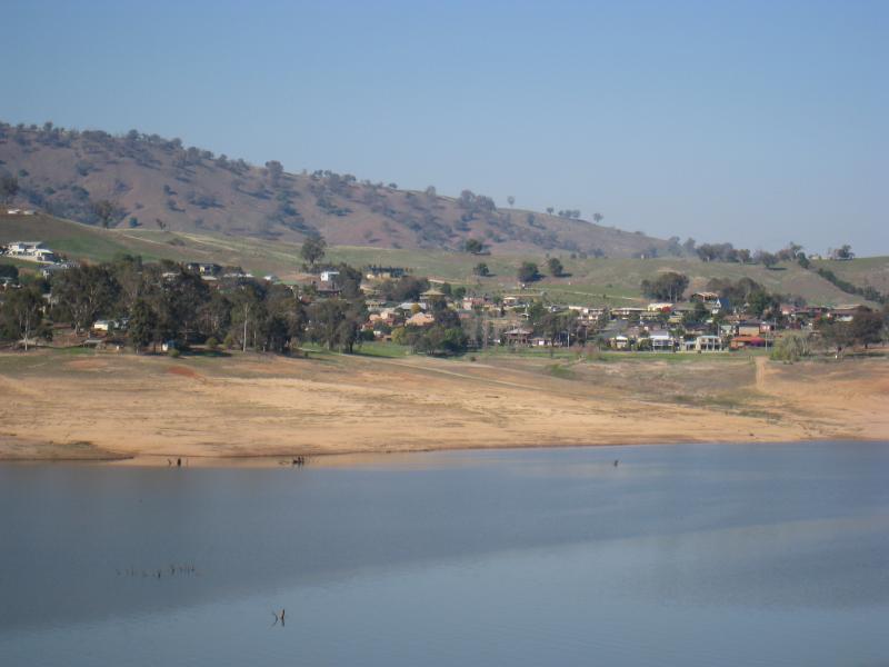
Lake Hume at Bethanga Bridge - View south-east across lake towards Bellbridge from N.S.W. side of bridge
Lake Hume at Bethanga Bridge - View south-east across lake towards Bellbridge from N.S.W. side of bridge
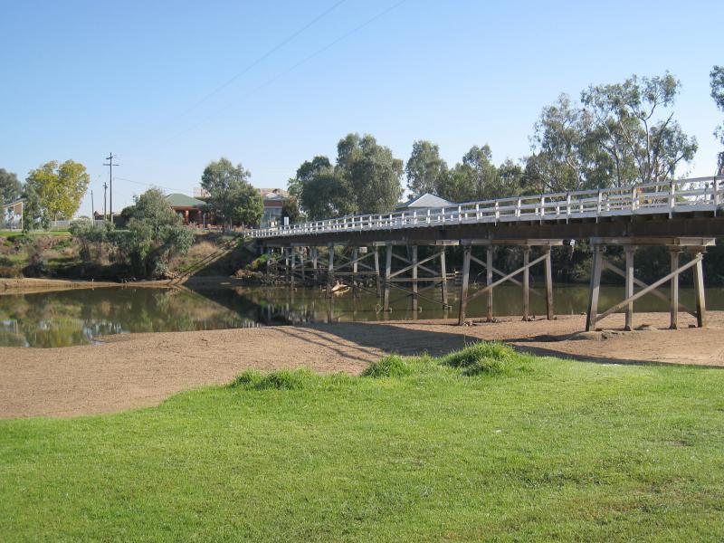
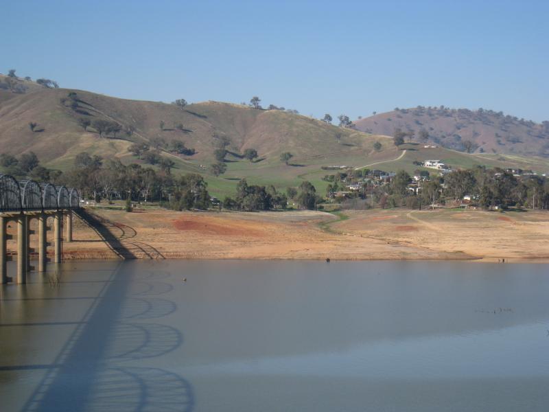
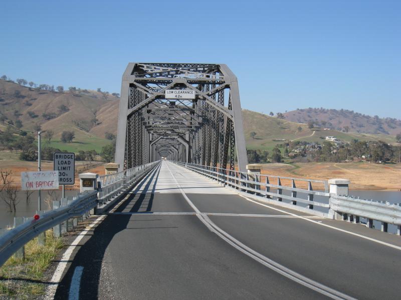
Lake Hume at Bethanga Bridge - View south-east along bridge over Lake Hume
Lake Hume at Bethanga Bridge - Entrance to bridge from N.S.W. side of Lake Hume
Lake Hume at Bethanga Bridge - View east across Lake Hume from northern side of bridge
Lake Hume at Bethanga Bridge - At eastern side of bridge, view south-east along Talgarno Rd towards Bethanga Rd