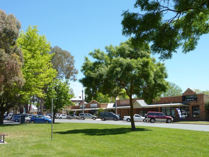
Shops and commercial centre, High Street - View west along High St at Whatton Pl
Shops and commercial centre, High Street - North side of High St, west of Hood St
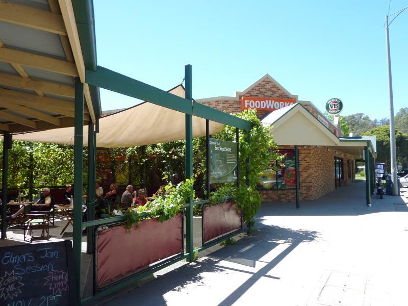
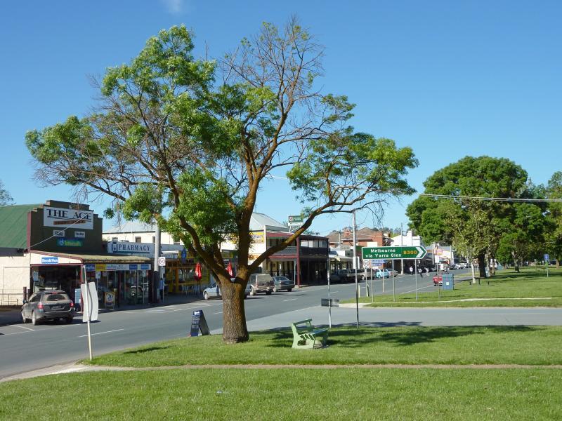
Shops and commercial centre, High Street - View east along High St towards supermarket
Shops and commercial centre, High Street - View west along High St, west of Hood St
Shops and commercial centre, High Street - Beer garden at Country Club Hotel
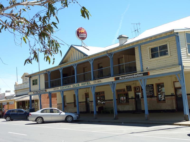
Shops and commercial centre, High Street - Country Club Hotel, north side of High St
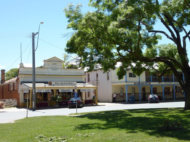
Shops and commercial centre, High Street - North across High St towards old commercial store
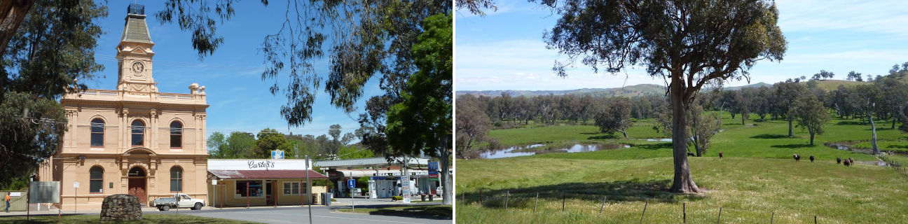
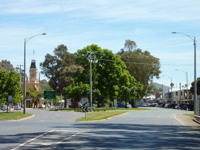
Shops and commercial centre, High Street - View south across High St towards shire hall
Shops and commercial centre, High Street - View east along High St towards shire hall
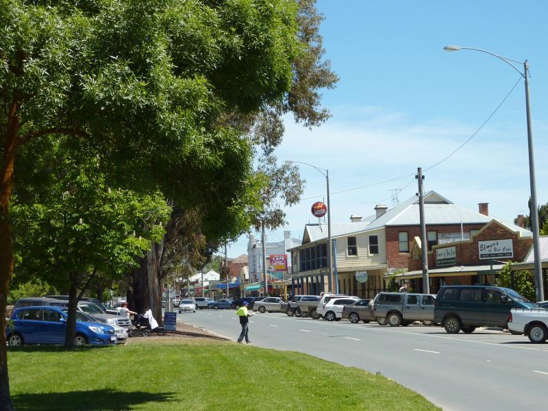
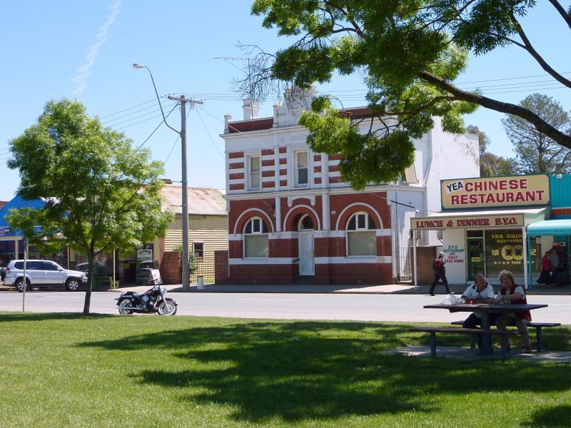
Shops and commercial centre, High Street - View east along High St at The Crescent
Shops and commercial centre, High Street - North side of High St, east of Pechell St
Shops and commercial centre, High Street - View east along High St just east of Pechell St
Shops and commercial centre, High Street - View north at corner of High St and Pechell St
Shops and commercial centre, High Street - View west along High St at Pechell St
Shops and commercial centre, High Street - View east along High St towards Pechell St
Shops and commercial centre, High Street - View west along High St towards Station St
Shops and commercial centre, High Street - View east along High St towards Station St
Shops and commercial centre, High Street - View east along High St towards Station St
Shops and commercial centre, High Street - Royal Mail Hotel, north side of High St
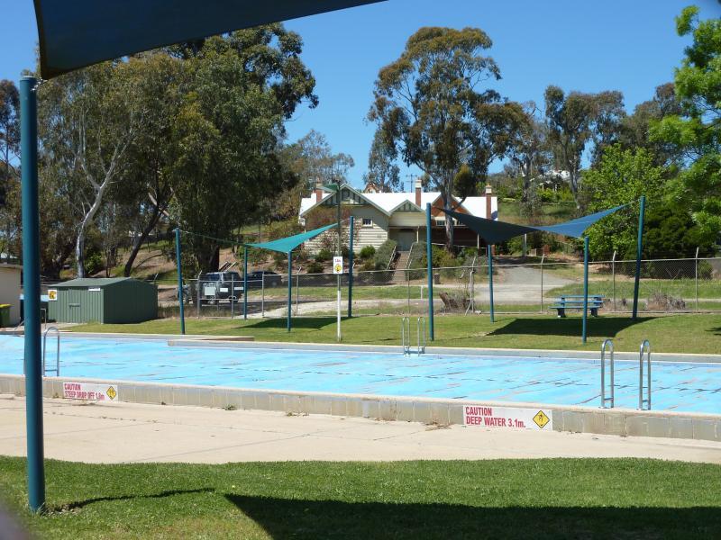
Shops and commercial centre, High Street - Pool, High St between Station St and Melbourne Rd
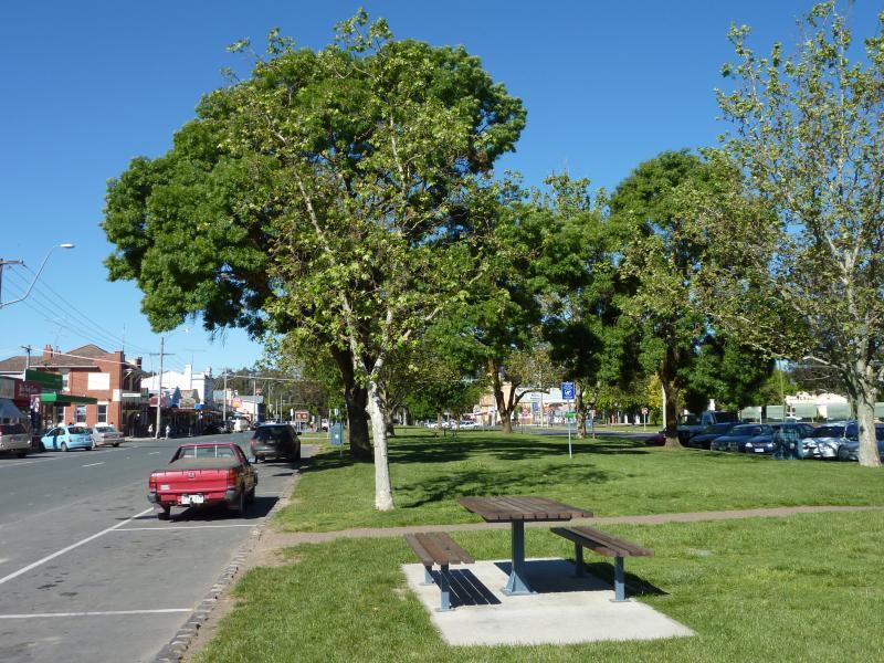
Shops and commercial centre, High Street - View east along High St towards Giffard St
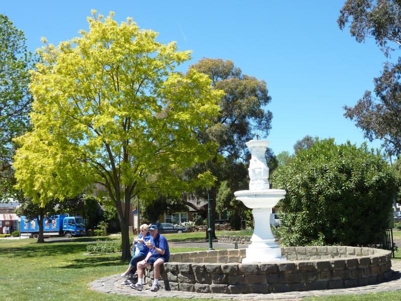
Yea Fountain Gardens, High Street between The Crescent and Pechell Street - Fountain viewed from High St
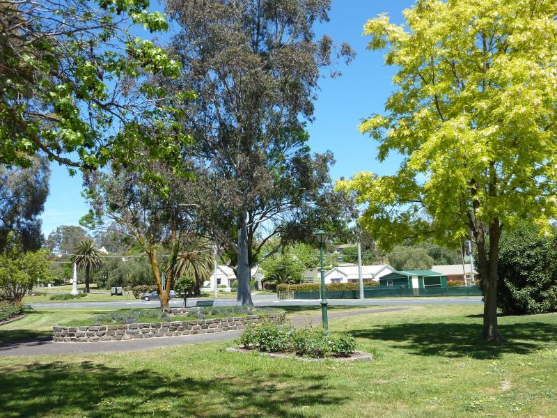
Yea Fountain Gardens, High Street between The Crescent and Pechell Street - View west through gardens towards bowling club
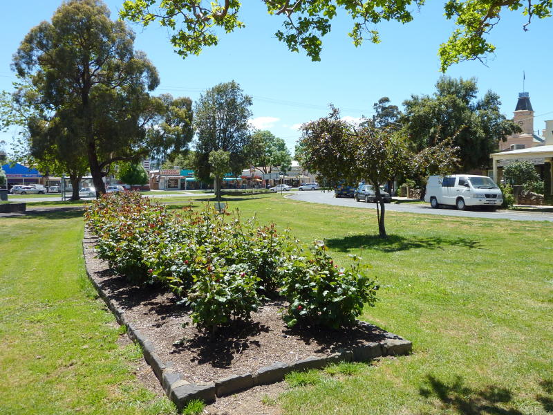
Yea Fountain Gardens, High Street between The Crescent and Pechell Street - View south through gardens towards Station St
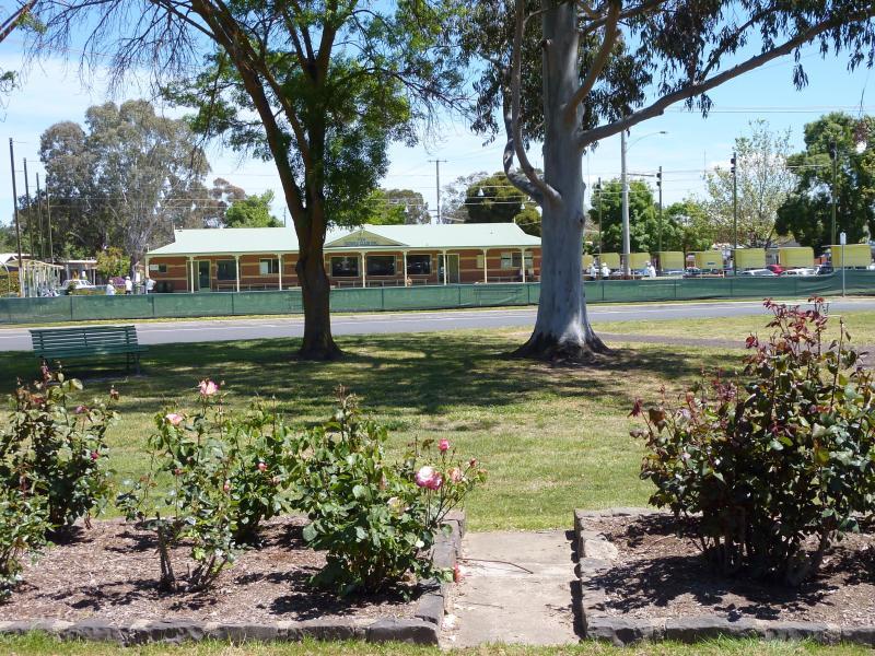
Yea Fountain Gardens, High Street between The Crescent and Pechell Street - Rose gardens along The Crescent
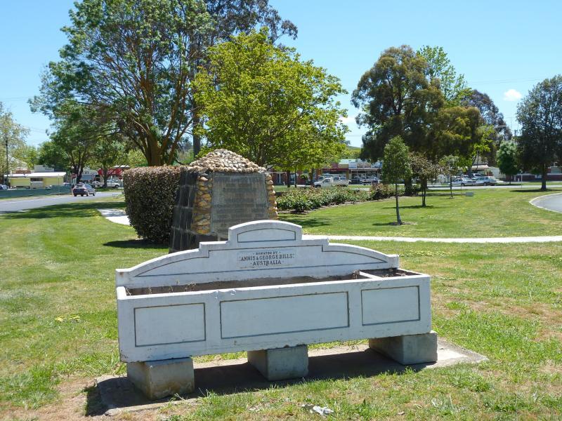
Yea Fountain Gardens, High Street between The Crescent and Pechell Street - Horse trough and Hume & Hovell monument, southern end of gardens fronting Station St
Station Street - View south across corner of Station St and High St
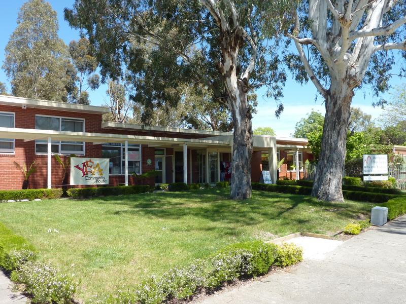
Station Street - Yea Community House and Murrindindi Shire offices
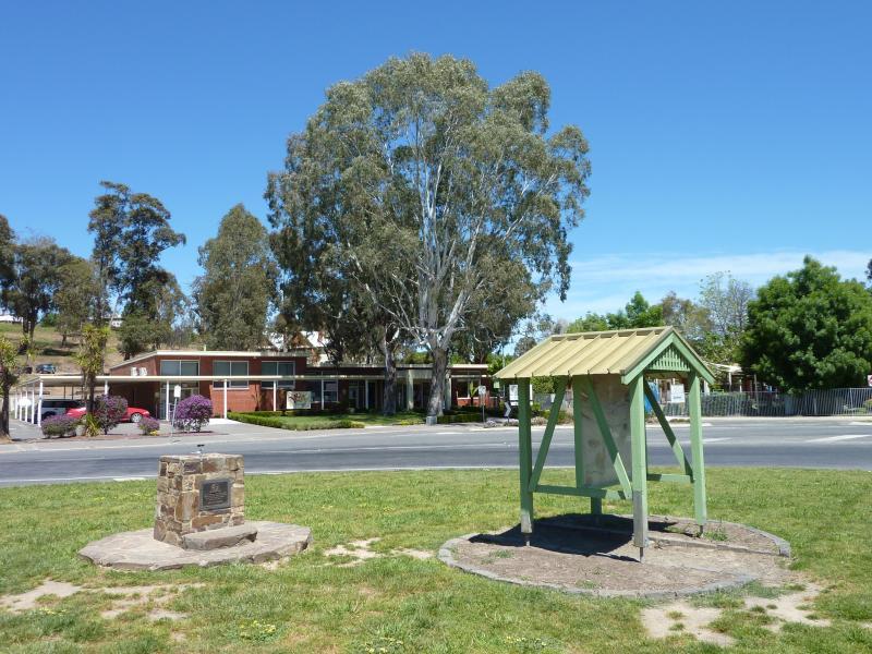
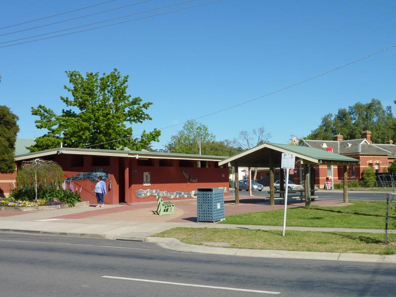
Station Street - Toilets and shelter, corner Station St and High St
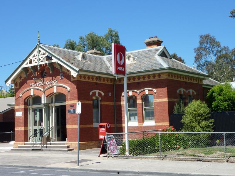
Station Street - Yea post office, west of Lyons St
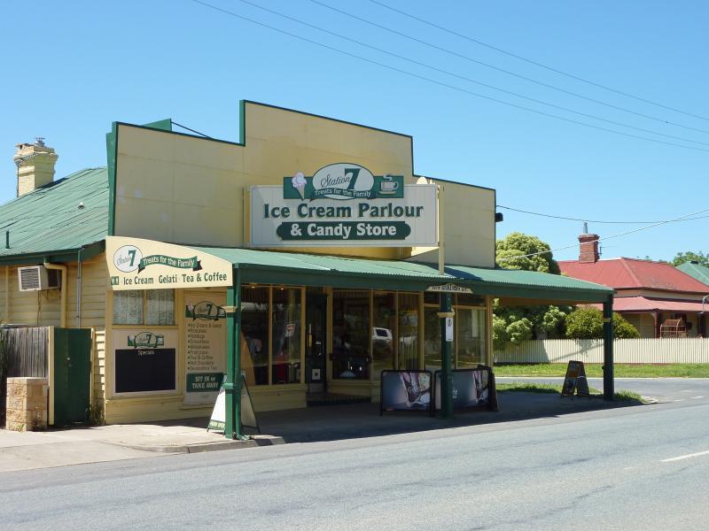
Station Street - Station 7 ice cream parlour, corner Station St and Anne St
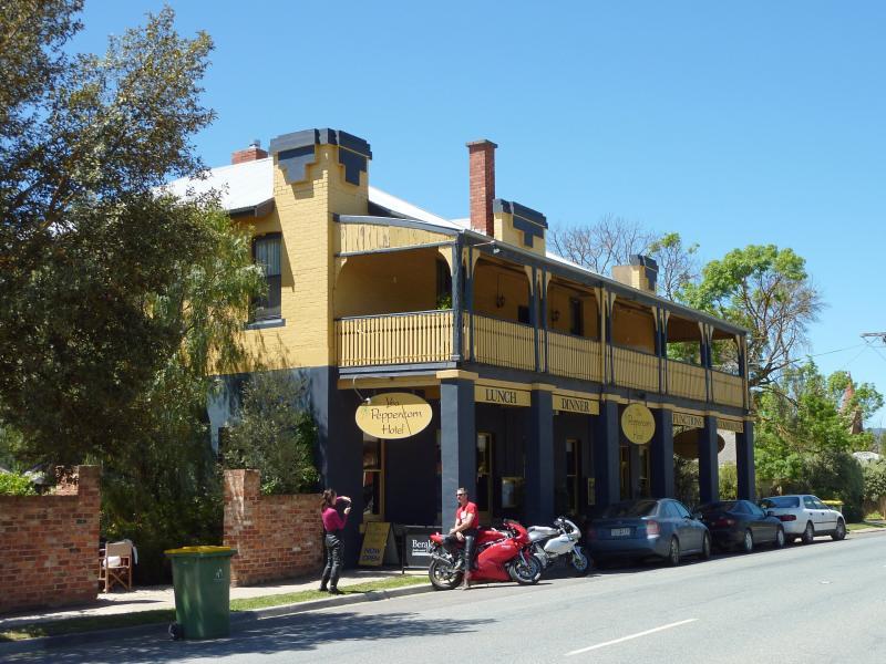
Station Street - Yea Peppercorn Hotel, east of Anne St
Gardens between Station Street, Lyons Street and Pelissier Street - View east through gardens towards Pelissier St
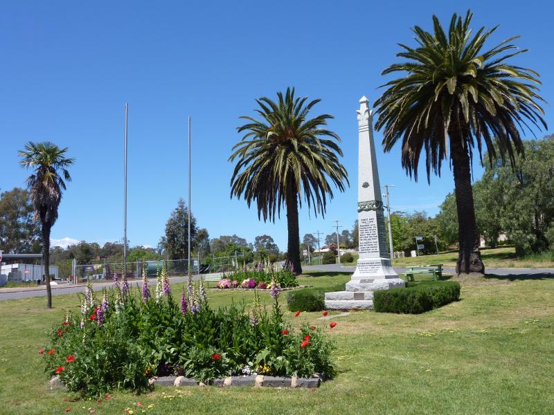
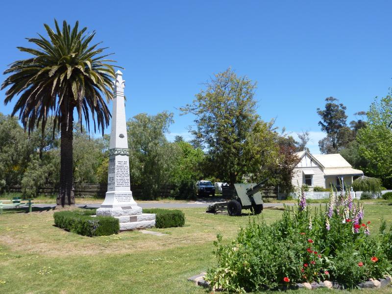
Gardens between Station Street, Lyons Street and Pelissier Street - War memorial
Gardens between Station Street, Lyons Street and Pelissier Street - View through gardens towards Lyon St
Gardens between Station Street, Lyons Street and Pelissier Street - View west through gardens and along Station St towards Lyons St
Gardens between Station Street, Lyons Street and Pelissier Street - View north through gardens towards Station St and Yea Fountain Gardens
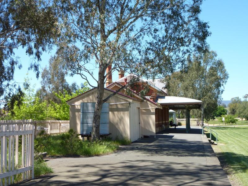
Former Yea railway station and surrounding parkland - Outside of old station fronting car park
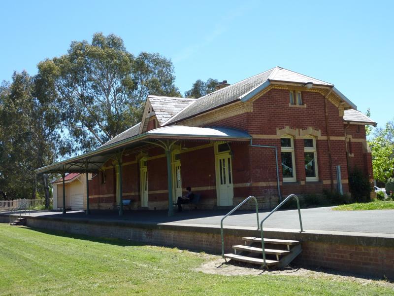
Former Yea railway station and surrounding parkland - View from car park towards station and platform
Former Yea railway station and surrounding parkland - Station and platform
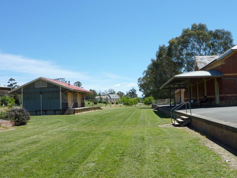
Former Yea railway station and surrounding parkland - View north-west along platform and lawns where railway tracks were
Former Yea railway station and surrounding parkland - View south-east along station platform
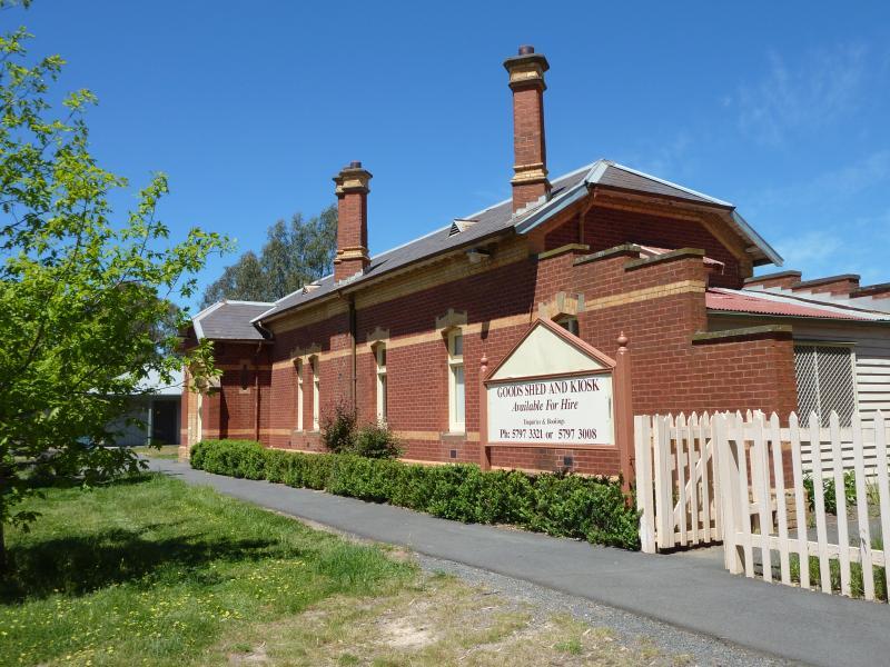
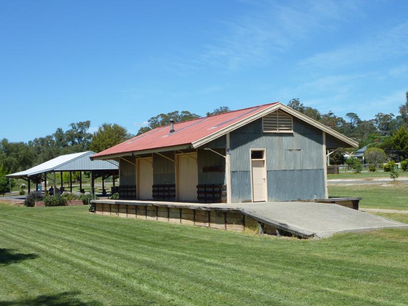
Former Yea railway station and surrounding parkland - Station sheds
Former Yea railway station and surrounding parkland - View north-west along former railway line from station platform
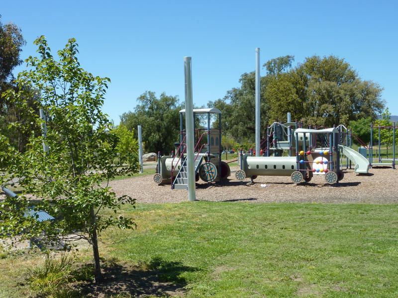
Former Yea railway station and surrounding parkland - Playground, south side of former railway line
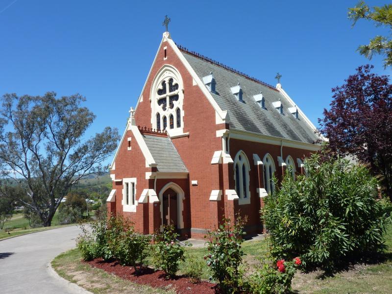
The Parade and Pelissier Street - Sacred Heart Church, The Parade
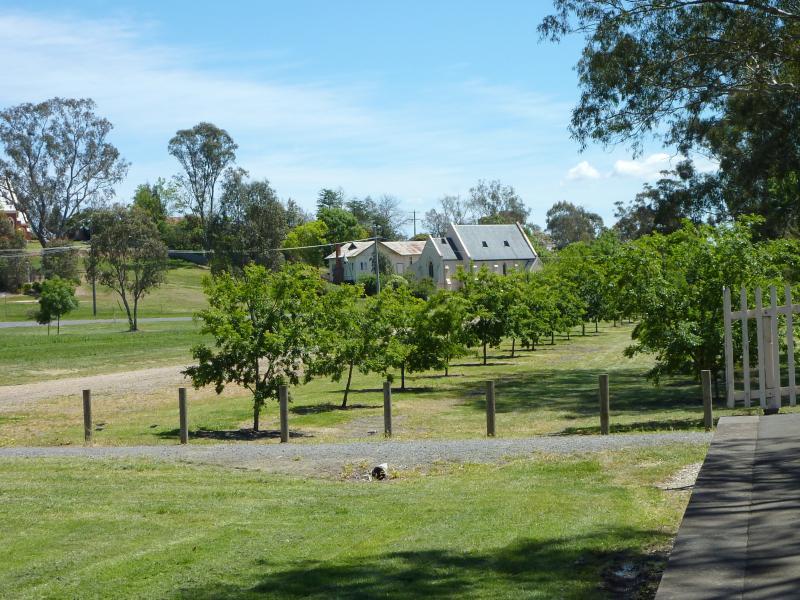
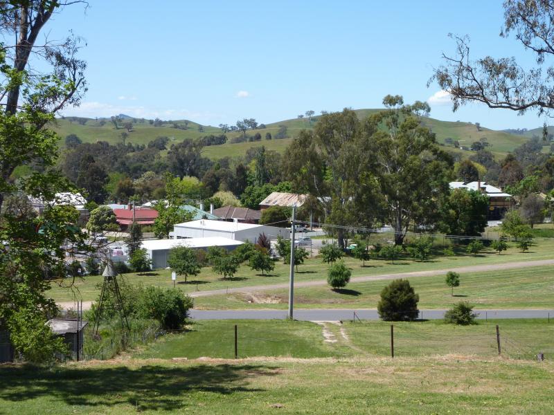
The Parade and Pelissier Street - View east from rear of Sacred Heart Church towards old railway station
The Parade and Pelissier Street - View north-east from rear of Sacred Heart Church
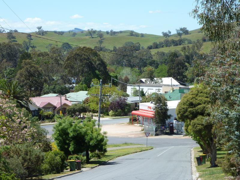
The Parade and Pelissier Street - View north-east along Pelissier St towards Lyons St
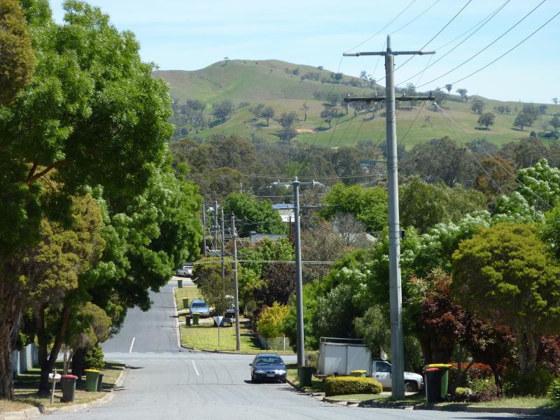
The Parade and Pelissier Street - View south-west along Pelissier St towards Raglan St
Around Yea - Rotunda, corner Melbourne Rd and Raglan St
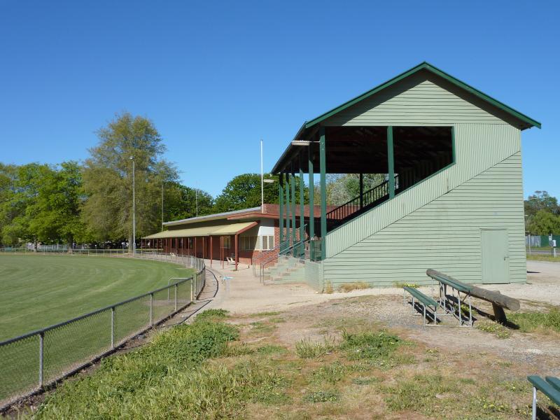
Around Yea - Grandstand at Yea Recreation Reserve, Snodgrass St
Around Yea - View across oval at Yea Recreation Reserve, Snodgrass St
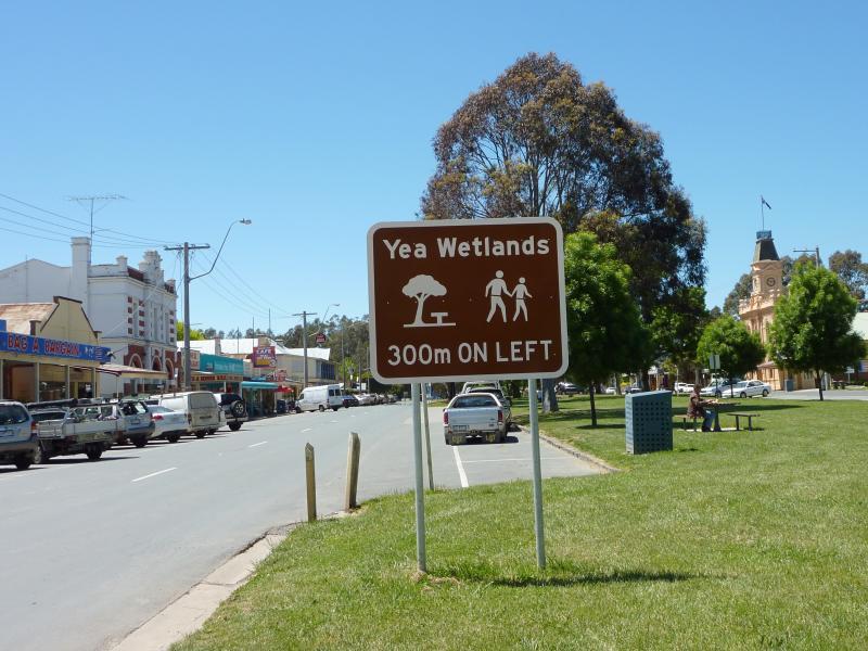
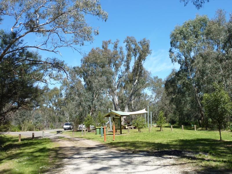
Yea Wetlands, western section near Hood Street - Wetlands sign, view east along High St at Hood St
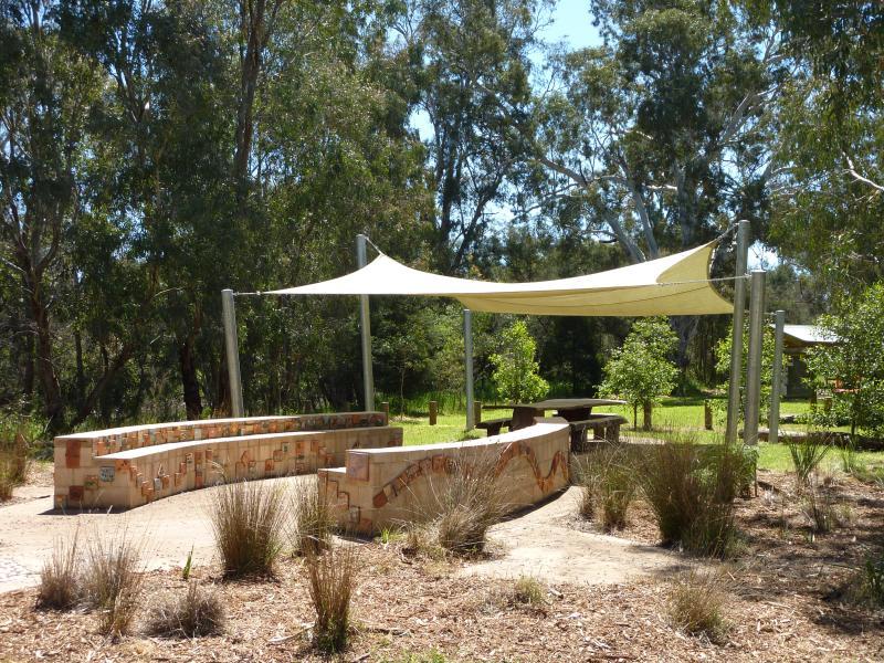
Yea Wetlands, western section near Hood Street - Pathway to BBQ and information shelter
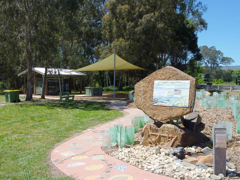
Yea Wetlands, western section near Hood Street - Start of walk through wetlands at information shelter
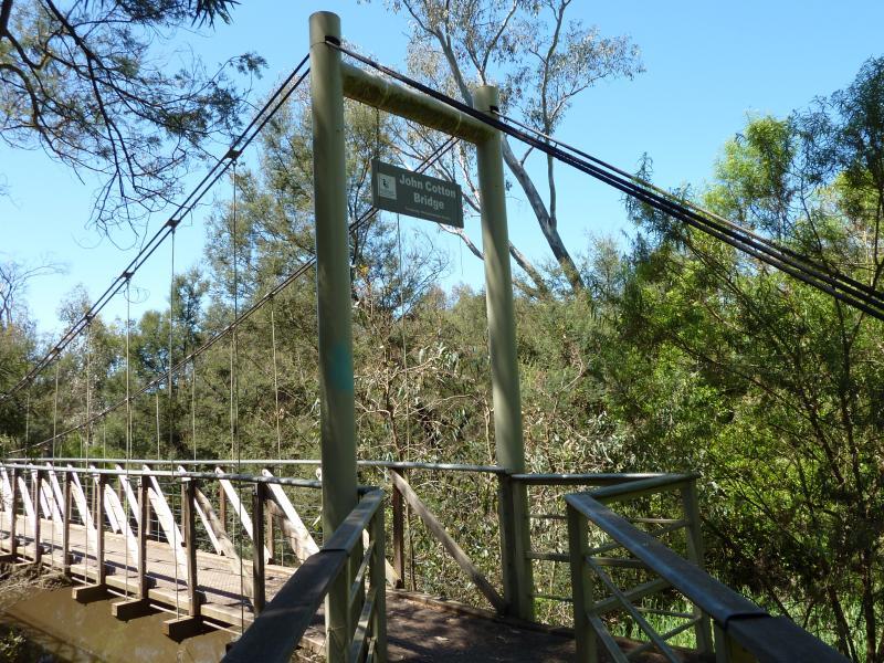
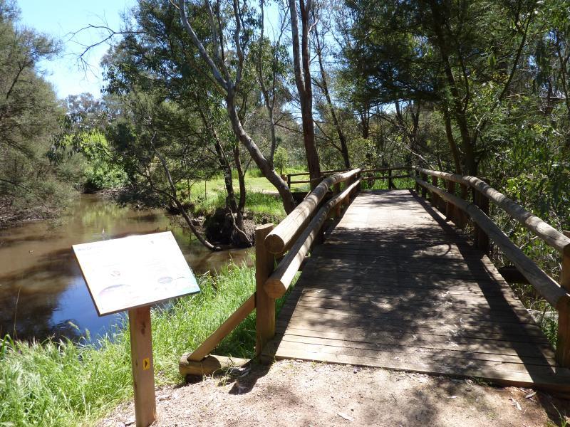
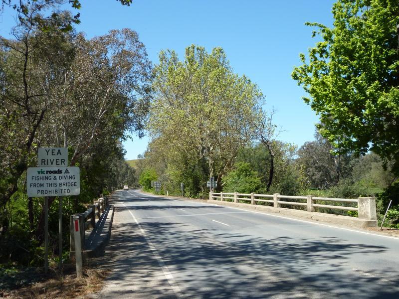
Yea Wetlands, western section near Hood Street - Western side of John Cotton Bridge over Yea River
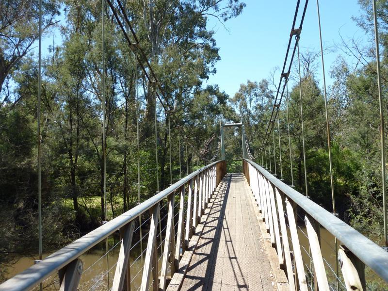
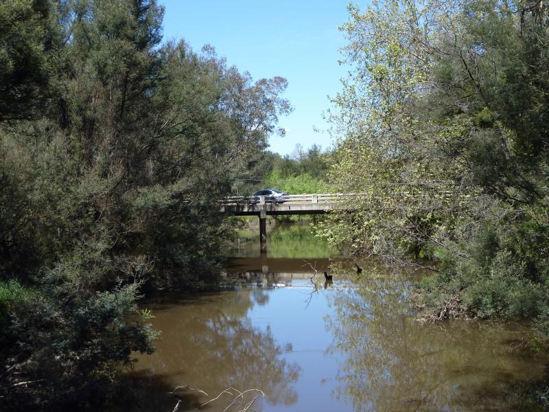
Yea Wetlands, western section near Hood Street - View east along John Cotton Bridge over Yea River
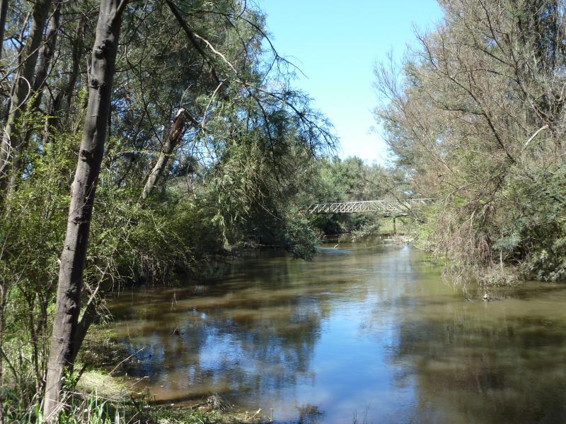
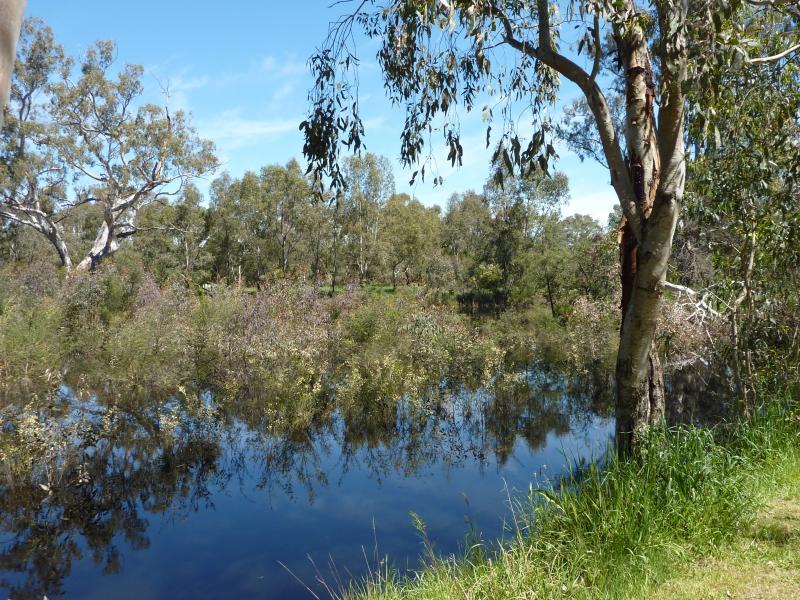
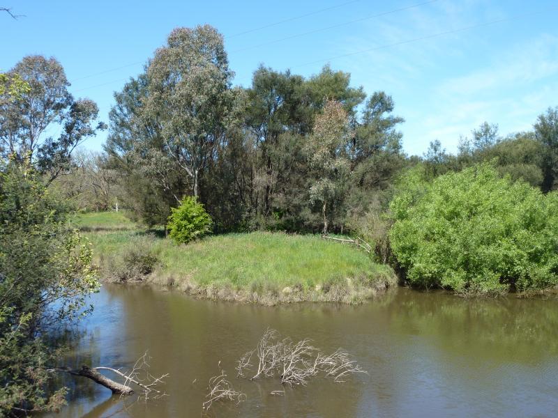
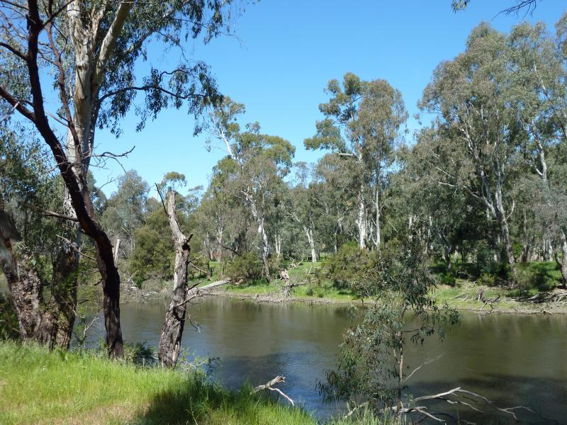
Yea Wetlands, western section near Hood Street - View south along Yea River from John Cotton Bridge
Yea Wetlands, western section near Hood Street - View north along Yea River from John Cotton Bridge
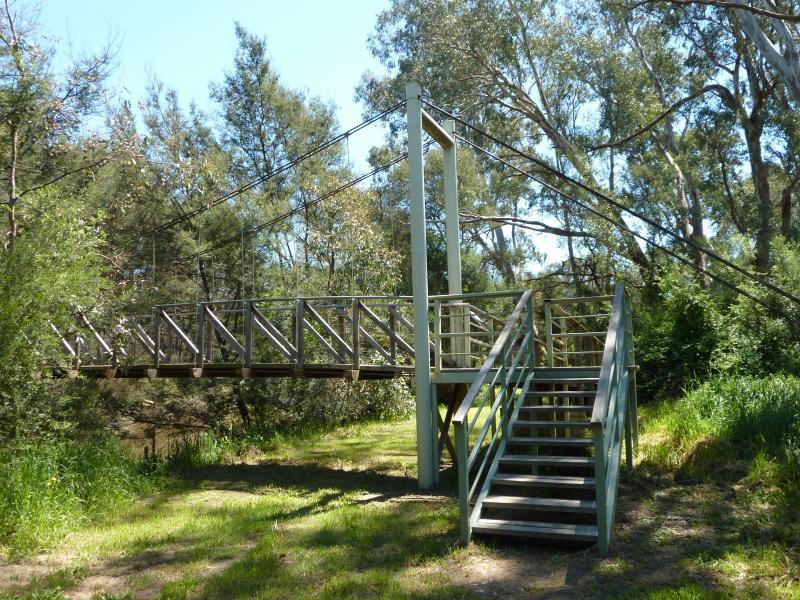
Yea Wetlands, western section near Hood Street - Eastern side of John Cotton Bridge
Yea Wetlands, western section near Hood Street - View along boardwalk at eastern side of John Cotton Bridge
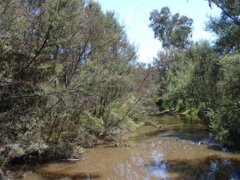
Yea Wetlands, western section near Hood Street - View south along Yea River towards John Cotton Bridge
Yea Wetlands, western section near Hood Street - View north along bridge over waterway
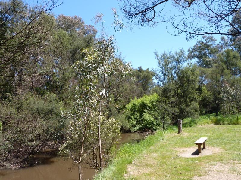
Yea Wetlands, western section near Hood Street - Lawns beside waterway
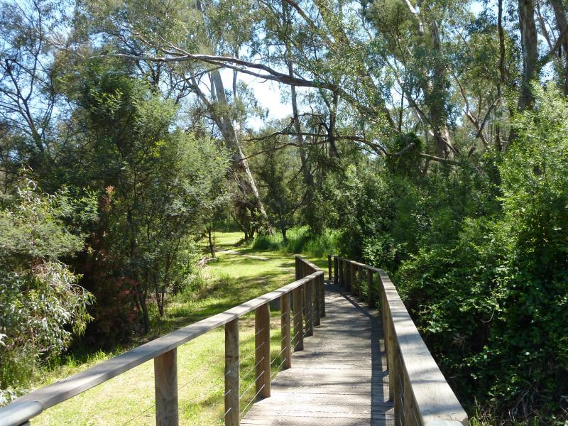
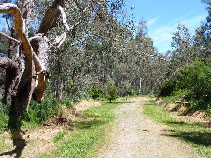
Yea Wetlands, western section near Hood Street - Lawns and path through wetlands
Yea Wetlands at John Cummins Reserve, Goulburn Valley Highway - Road entrance at Goulburn Valley Hwy
Yea Wetlands at John Cummins Reserve, Goulburn Valley Highway - View south over wetlands from entrance at Goulburn Valley Hwy
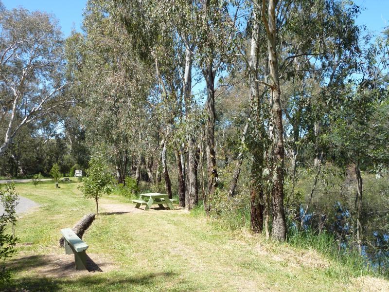
Yea Wetlands at John Cummins Reserve, Goulburn Valley Highway - Picnic areas in front of lake
Yea Wetlands at John Cummins Reserve, Goulburn Valley Highway - View west across lake
Yea Wetlands at John Cummins Reserve, Goulburn Valley Highway - Shelter at car park
Yea Wetlands at John Cummins Reserve, Goulburn Valley Highway - Picnic area near shelter at car park
Yea Wetlands at John Cummins Reserve, Goulburn Valley Highway - View of shelter from pathway north of car park
Yea Wetlands at John Cummins Reserve, Goulburn Valley Highway - Pathway through wetlands, north of car park
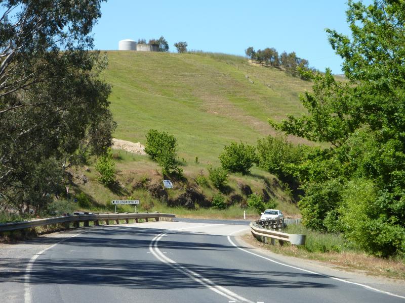
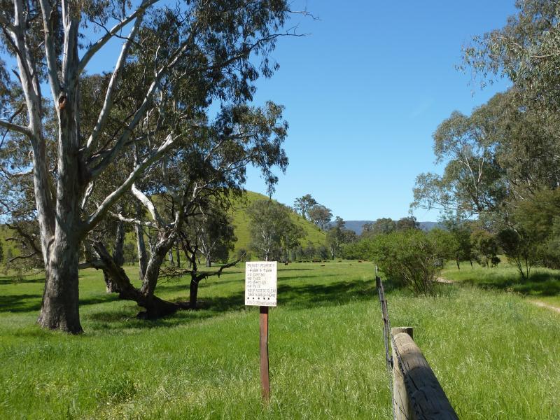
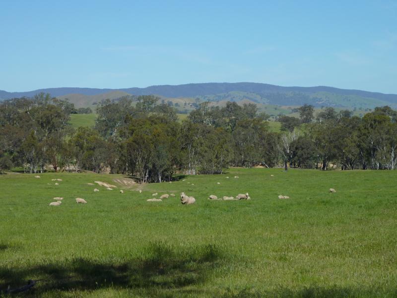
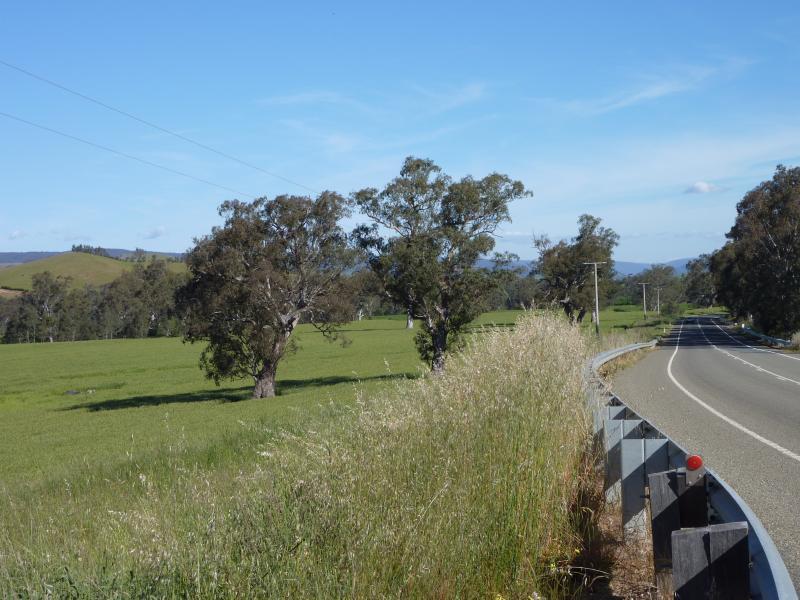
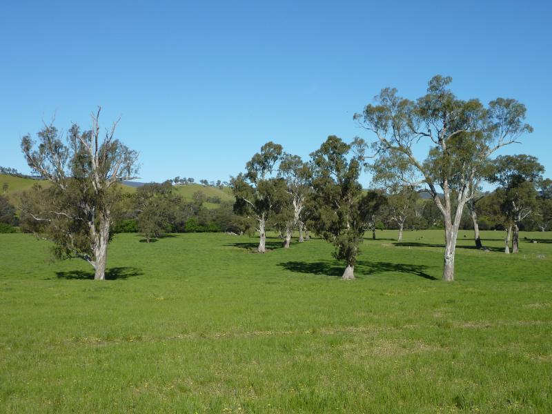
Killingworth Road - Easterly view, 500m from Goulburn Valley Hwy
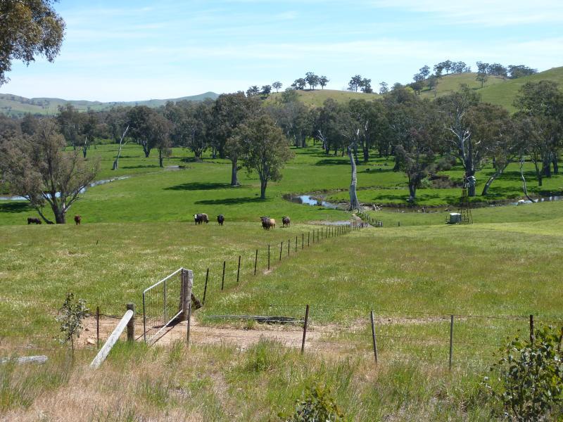
Killingworth Road - Southerly view, 500m from Goulburn Valley Hwy
Killingworth Road - View south-west along Killingworth Rd, 750m from Goulburn Valley Hwy
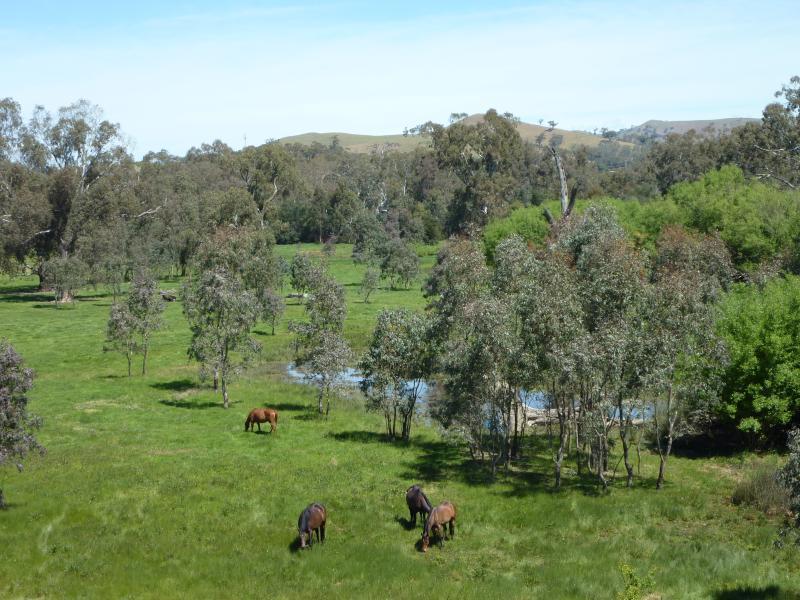
Killingworth Road - Westerly view towards dam, 750m from Goulburn Valley Hwy
Killingworth Road - Westerly view, 750m from Goulburn Valley Hwy
Killingworth Road - Westerly view, 750m from Goulburn Valley Hwy
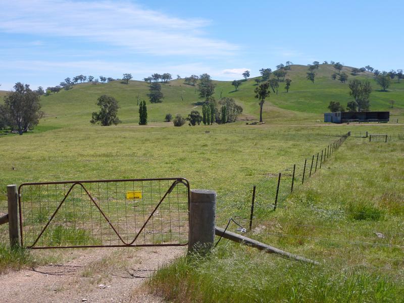
Killingworth Road - North-westerly view, 750m from Goulburn Valley Hwy
Killingworth Road - Westerly view, 1 km from Goulburn Valley Hwy
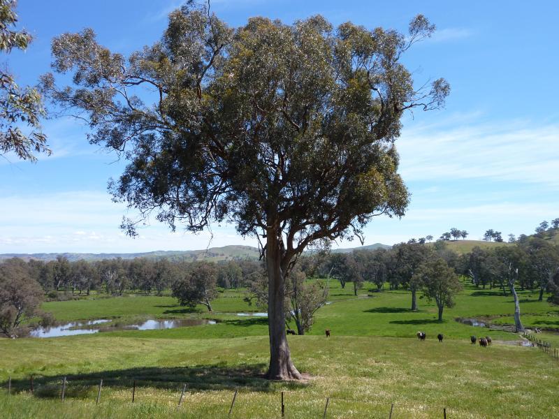
Goulburn Valley Highway east of Yea - View east along Goulburn Valley Hwy at Yea River
Goulburn Valley Highway east of Yea - View north-west along Yea River at Goulburn Valley Hwy
Goulburn Valley Highway east of Yea - View south-east along Yea River at Goulburn Valley Hwy
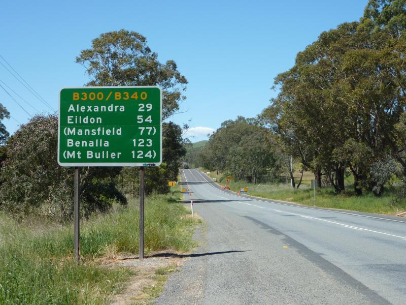
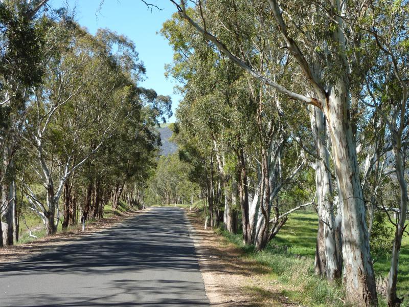
Goulburn Valley Highway east of Yea - View east along Goulburn Valley Hwy towards Killingworth Rd
Goulburn Valley Highway east of Yea - View east along Goulburn Valley Hwy, 1 km east of Killingworth Rd
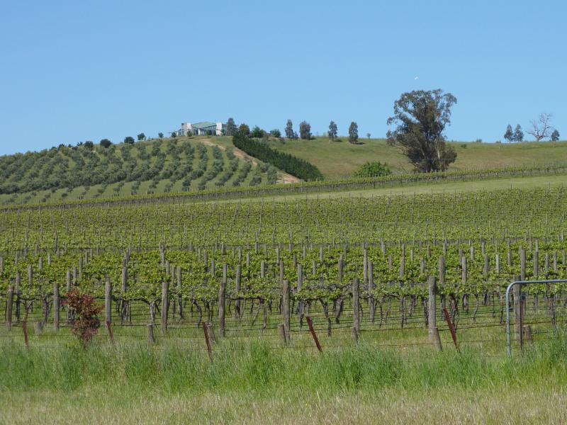
Goulburn Valley Highway east of Yea - Rees Estate Winery, 4 km east of Yea
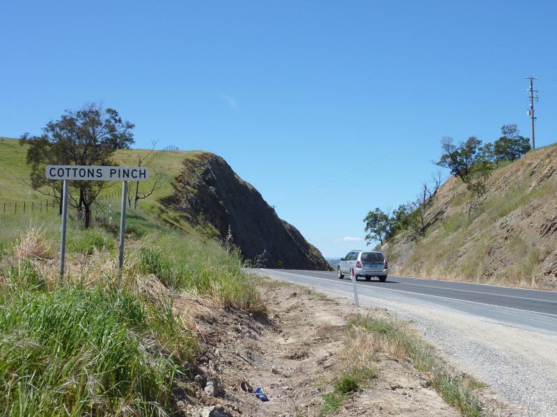
Goulburn Valley Highway east of Yea - View east along Goulburn Valley Hwy towards Cottons Pinch
Goulburn Valley Highway east of Yea - Easterly view, Goulburn Valley Hwy east side of Cottons Pinch
Goulburn Valley Highway east of Yea - Easterly view, Goulburn Valley Hwy east side of Cottons Pinch
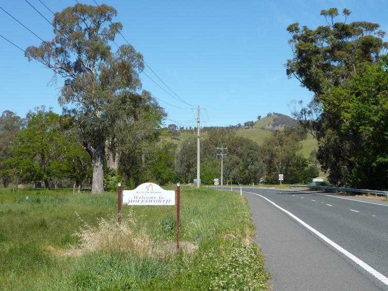
Town of Molesworth, Goulburn Valley Highway east of Yea - View east along Goulburn Valley Hwy towards town sign
Town of Molesworth, Goulburn Valley Highway east of Yea - Northerly view, Goulburn Valley Hwy west side of town
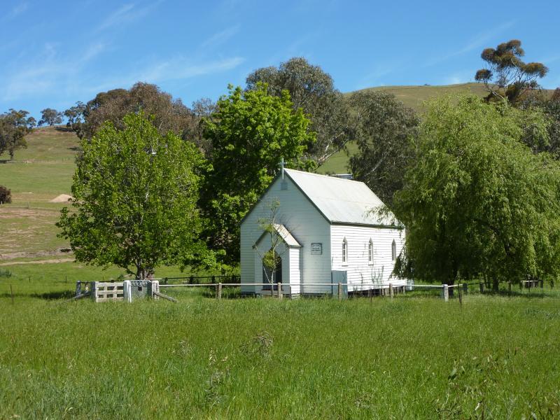
Town of Molesworth, Goulburn Valley Highway east of Yea - Old church, off Goulburn Valley Hwy at west side of town
Town of Molesworth, Goulburn Valley Highway east of Yea - Southerly view, Goulburn Valley Hwy west side of town
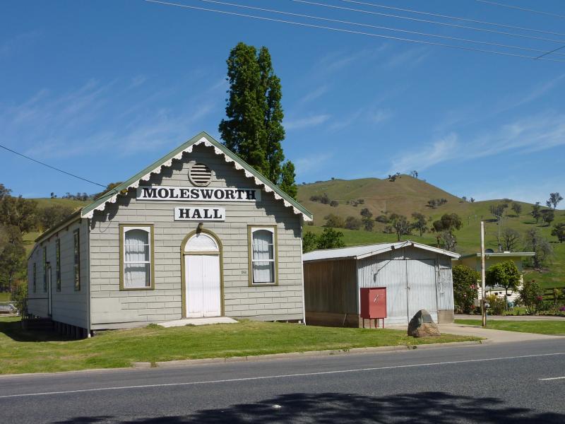
Town of Molesworth, Goulburn Valley Highway east of Yea - Molesworth hall
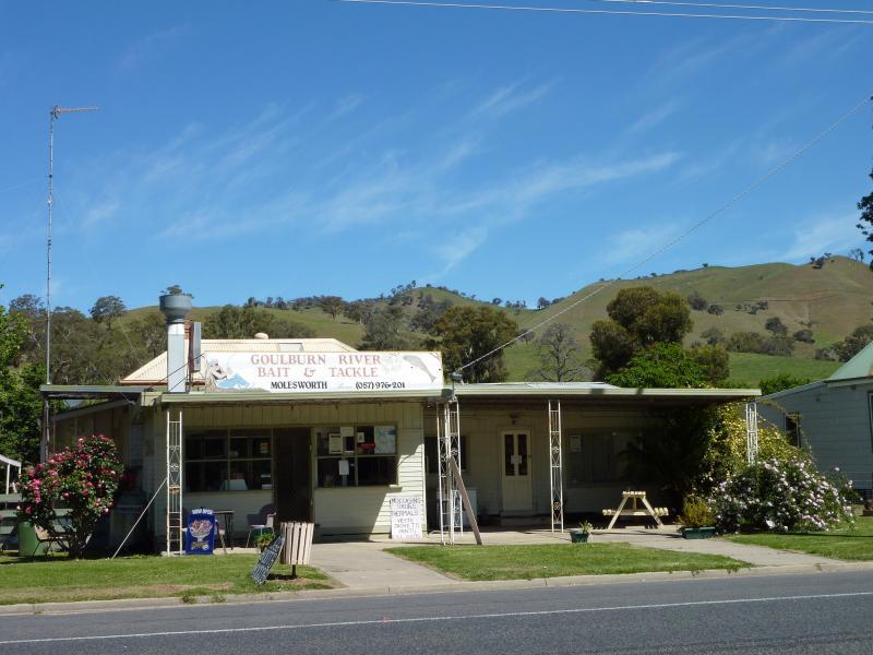
Town of Molesworth, Goulburn Valley Highway east of Yea - Molesworth general store
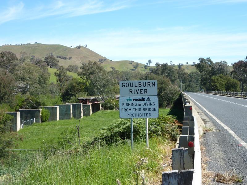
Town of Molesworth, Goulburn Valley Highway east of Yea - View south-west along Goulburn Valley Hwy at Goulburn River bridge
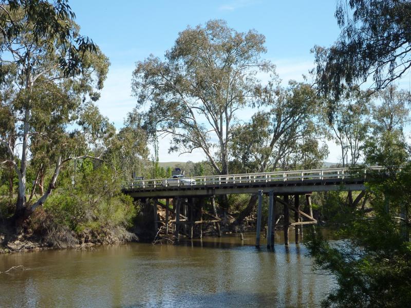
Goulburn River at Ghin Ghin Road - View south along Ghin Ghin Rd towards bridge
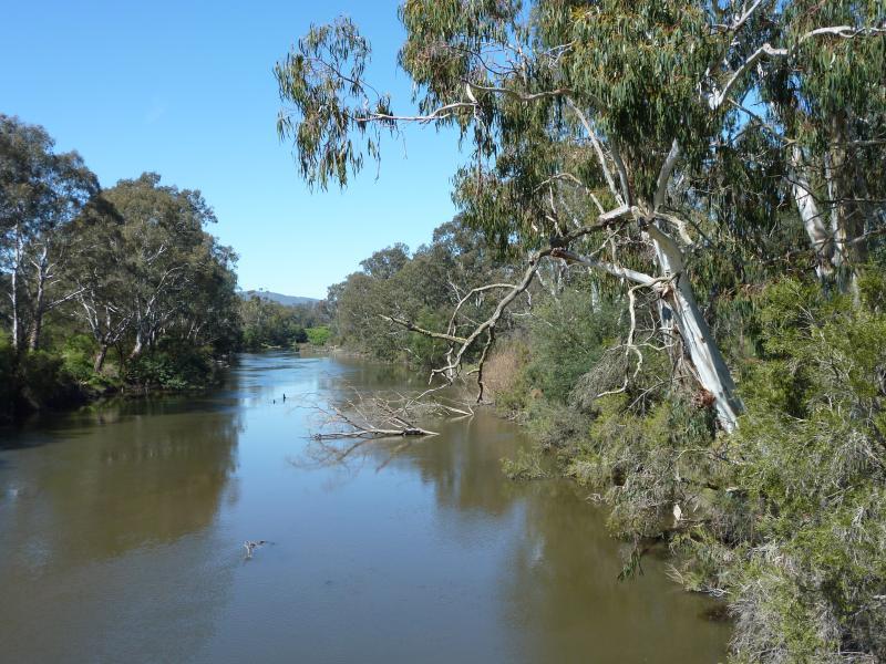
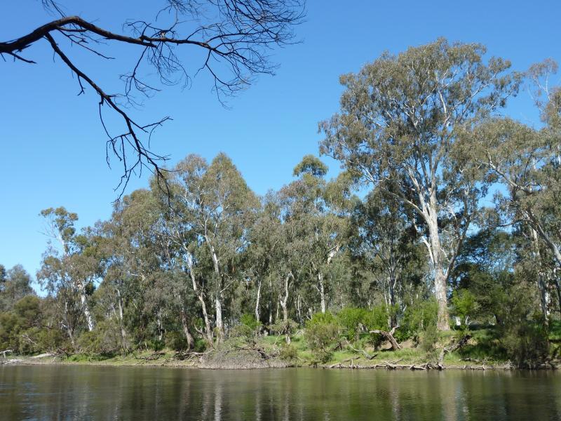
Goulburn River at Ghin Ghin Road - View east along river from bridge
Goulburn River at Ghin Ghin Road - View west along river from bridge
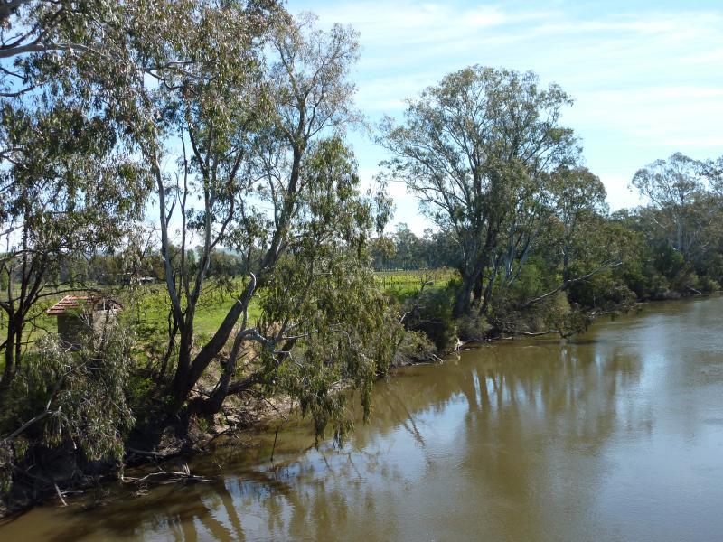
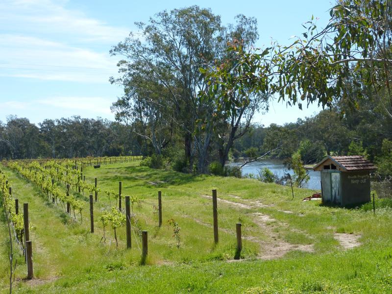
Goulburn River at Ghin Ghin Road - Vineyard on west side of Ghin Ghin Rd at bridge
Goulburn River at the reserve and boat ramp off east side of Ghin Ghin Road - View west along river towards bridge
Goulburn River at the reserve and boat ramp off east side of Ghin Ghin Road - View south across Goulburn River towards junction with Yea River
Goulburn River at the reserve and boat ramp off east side of Ghin Ghin Road - Boat ramp
Goulburn River at the reserve and boat ramp off east side of Ghin Ghin Road - View south over river at boat ramp
Goulburn River at the reserve and boat ramp off east side of Ghin Ghin Road - View south across river near boat ramp
Goulburn River at the reserve and boat ramp off east side of Ghin Ghin Road - View east through fields at car park near boat ramp
Ghin Ghin Road north of Goulburn River - View north along Ghin Ghin Rd, 3.5 km from Goulburn River
Ghin Ghin Road north of Goulburn River - Easterly view, Ghin Ghin Rd 3.5 km from Goulburn River
Ghin Ghin Road north of Goulburn River - Easterly view, Ghin Ghin Rd 3.5 km from Goulburn River
Ghin Ghin Road north of Goulburn River - Easterly view, Ghin Ghin Rd 4 km from Goulburn River
Ghin Ghin Road north of Goulburn River - View south along Ghin Ghin Rd, 8 km from Goulburn River
Ghin Ghin Road north of Goulburn River - South-westerly view, Ghin Ghin Rd 8 km from Goulburn River
Ghin Ghin Road north of Goulburn River - South-westerly view, Ghin Ghin Rd 8 km from Goulburn River
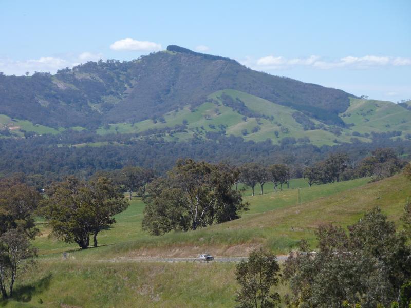
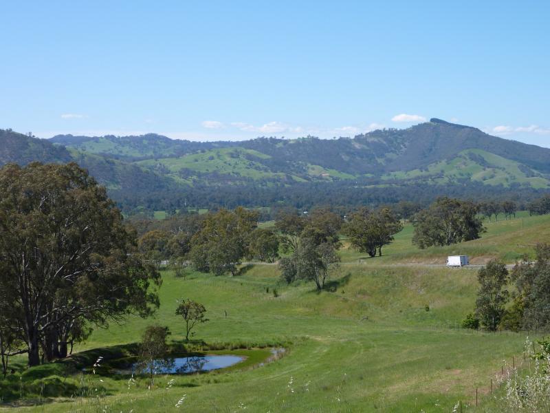
Melba Highway south of Yea - View south along Melba Hwy, 5 km south of Yea
Melba Highway south of Yea - Easterly view, Melba Hwy near Ewing Rd