Clunes - public transport
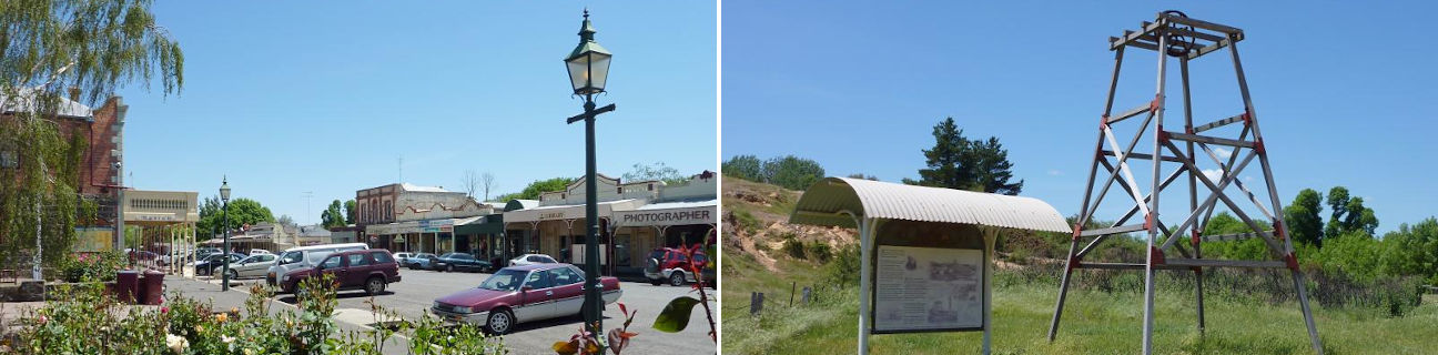
Clunes
Stay
See and do
Food and drink
Shopping
Getting around
Visitor information
Train
Clunes station
| Line | Operator | Timetable and stops | Map |
|---|---|---|---|
| Maryborough |  |
Maryborough - Melbourne Via Maryborough, Talbot, Clunes, Creswick, Ballarat |
Bus
Taxi
| Operator | Areas covered | Phone |
|---|---|---|
| Ballarat Taxis | Ballan, Ballarat, Ballarat's suburbs, Burrumbeet, Clunes, Creswick, Daylesford, Linton, Newlyn, Smythesdale, Trawalla | (03) 5329 0000 |