Cranbourne - photos
Cranbourne
Stay
See and do
Food and drink
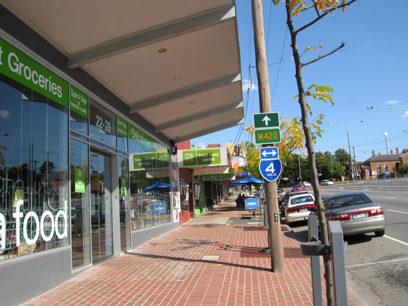
Shopping
Getting around
Visitor information
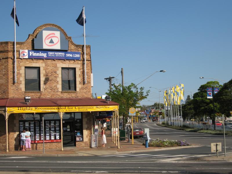
View south along High St at Brunt St

Heavenly Pancakes, former church building corner High St and Stawell St
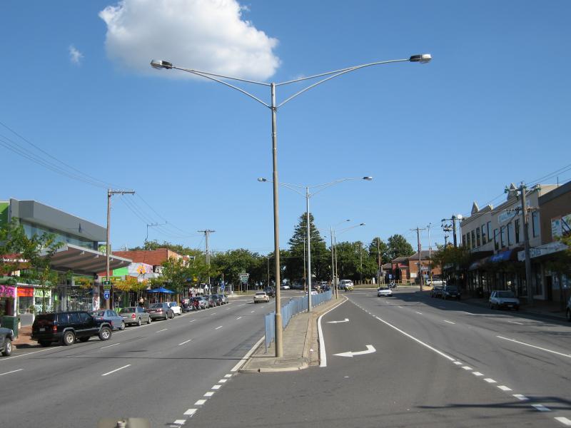
View south along High St towards Stawell St
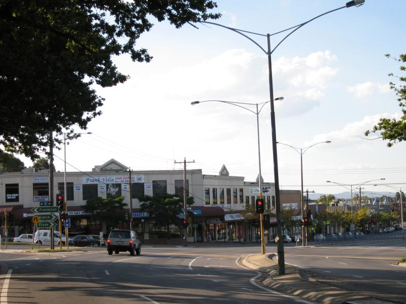
View east along Stawell St at High St
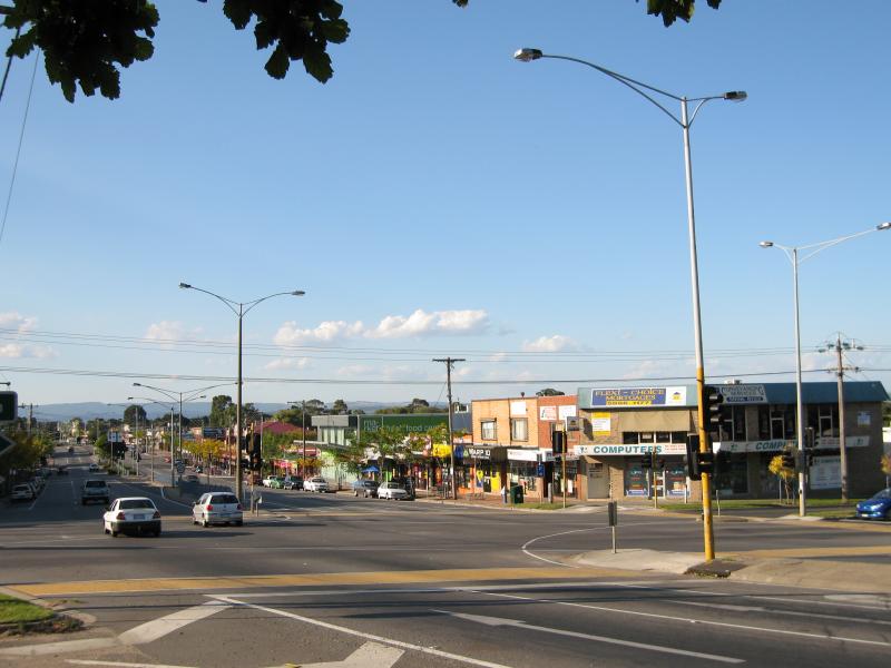
View south along High St at Stawell St
View south along High St at Stawell St

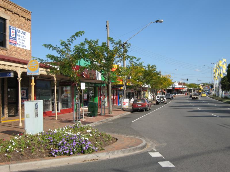
View south along High St between Stawell St at Lyall St
View south along High St towards Lyall St
View north along High St towards Lyall St

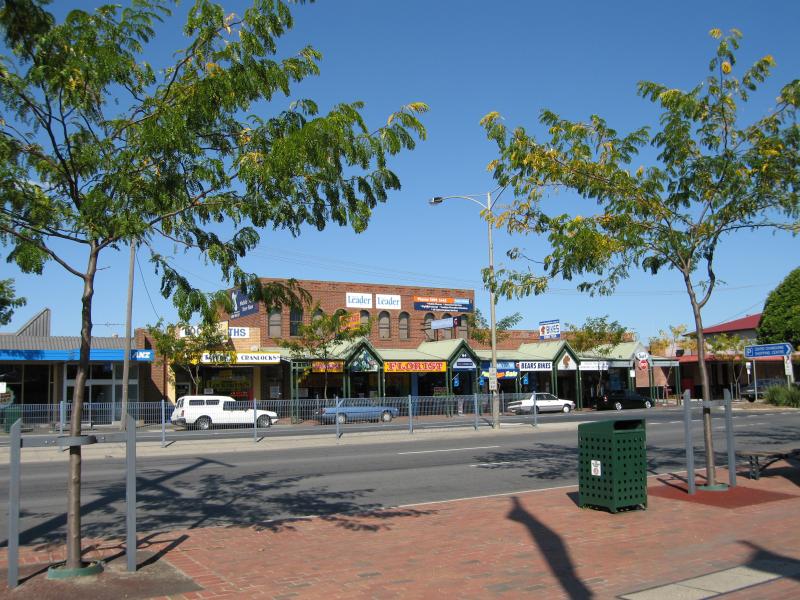
View south along High St towards Clydesdale Av
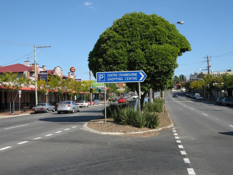
View east across High St from Clydesdale Square
View south along High St at Clydesdale Av
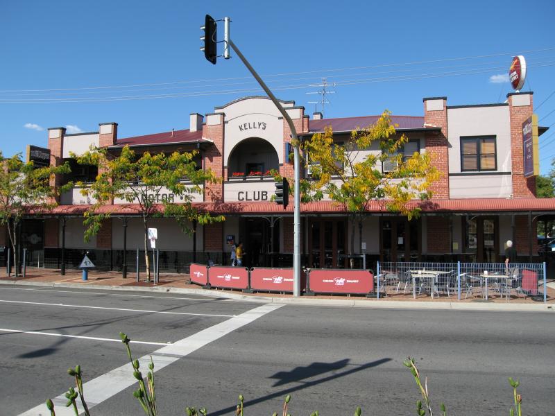
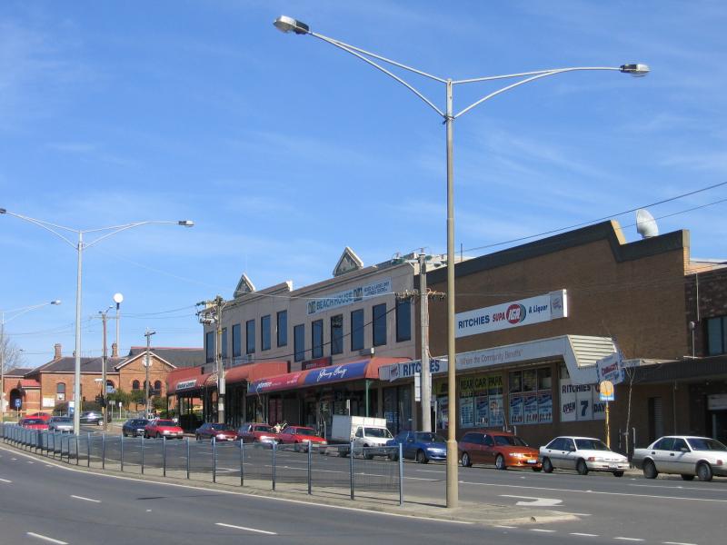
Kelly's Motor Club Hotel, corner High St and Childers St
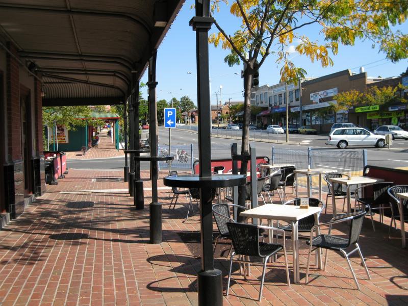
View south along High St towards Childers St at Kelly's Motor Club Hotel
View south along High St at Childers St
View south along High St between Childers St and Sladen St
View south along High St towards Sladen St
View north along High St at Sladen St
View north along High St towards Sladen St
View north along High St towards Sladen St
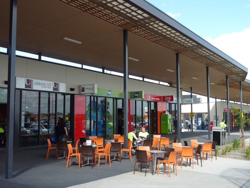
View west across High St at Stawell St towards Cranbourne Park
View north along High St towards entrance near Lyall St
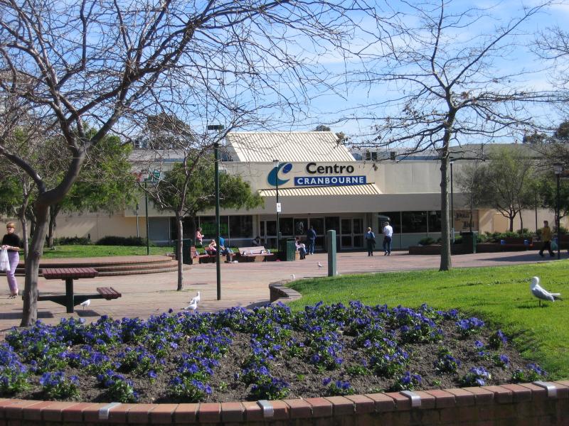
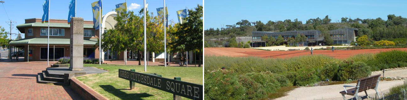
Cranbourne Park entrance at Greg Clydesdale Square

Food court, Cranbourne Park
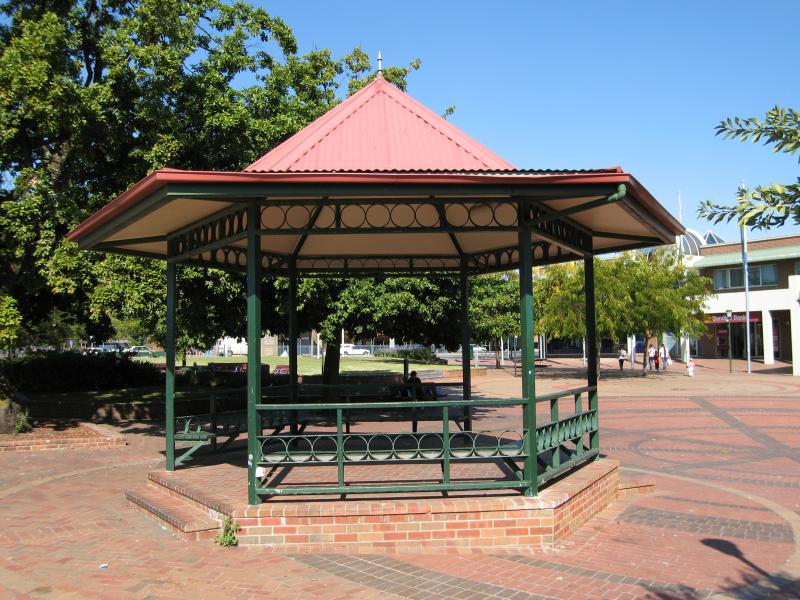
Rotunda, Greg Clydesdale Square
View east through Greg Clydesdale Square towards High St

Shops fronting Greg Clydesdale Square
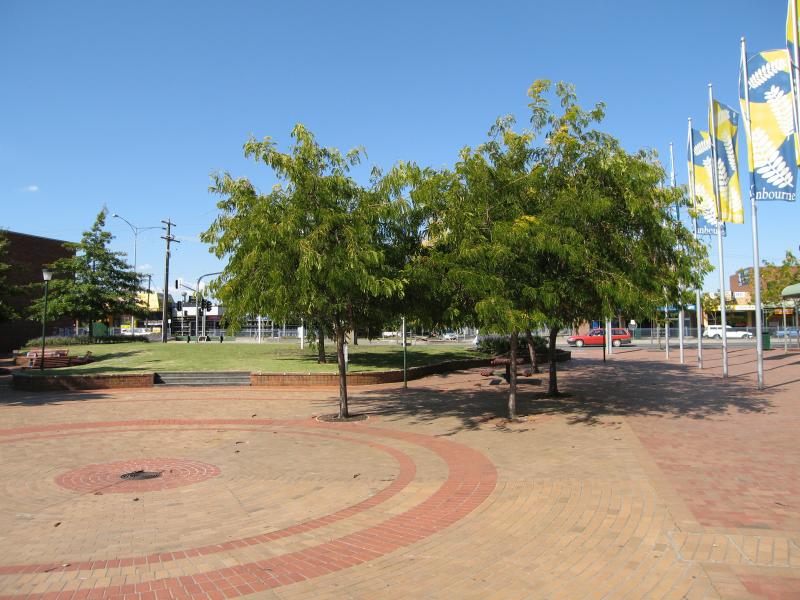
View south through Greg Clydesdale Square

View south through Greg Clydesdale Square at High St

War memorial, Greg Clydesdale Square, view west towards Cranbourne Park entrance
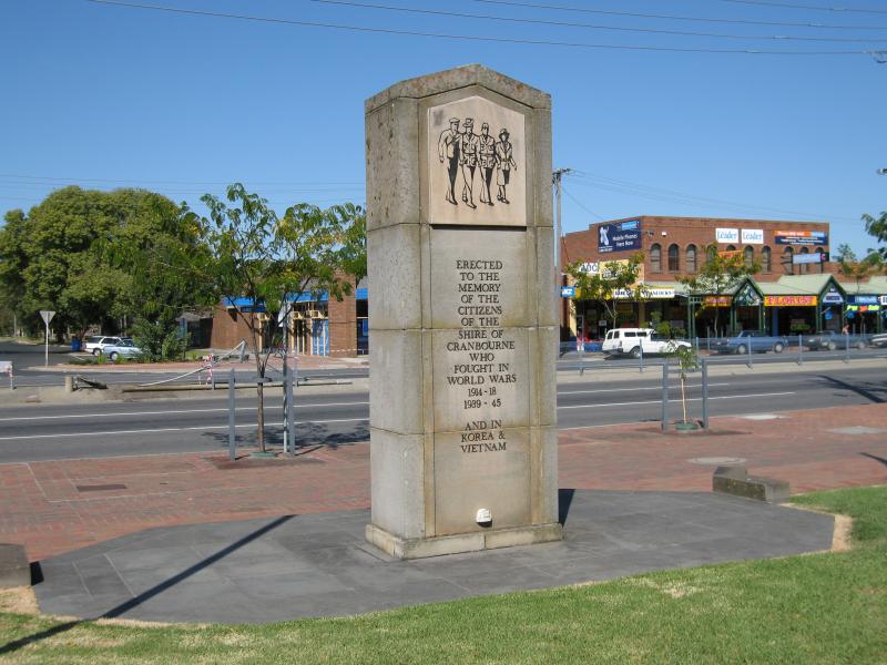
War memorial, Greg Clydesdale Square, view east towards High St
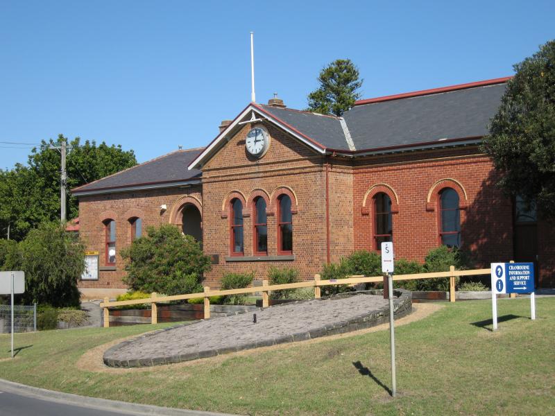
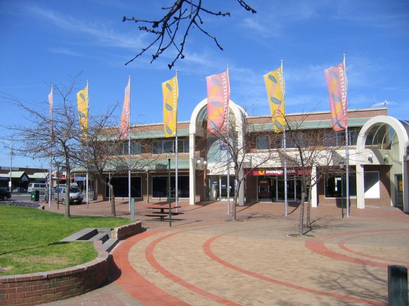
Council offices and community information, corner Sladen St and High St
View south along High St at park
View through park from Brunt St
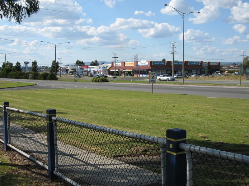
View north along South Gippsland Hwy towards Cranbourne Pl

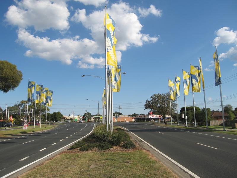
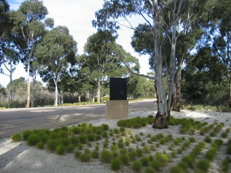
Welcome to Cranbourne town sign, view south along South Gippsland Hwy towards Camms Rd
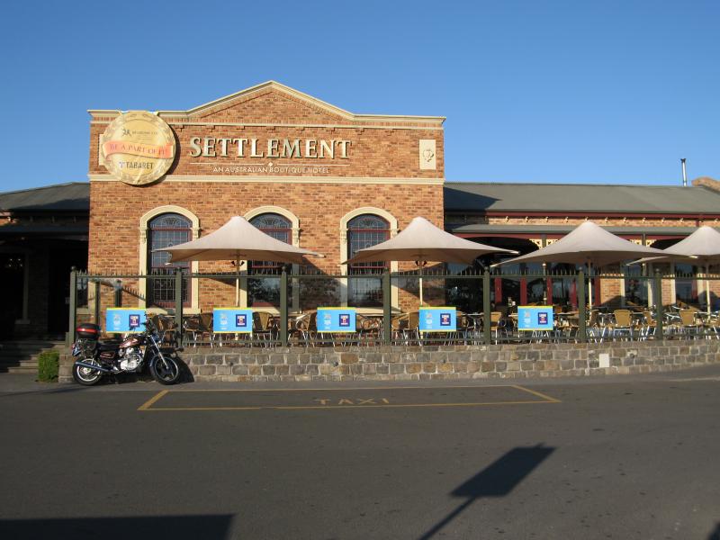
Settlement Hotel, corner South Gippsland Hwy and Camms Rd
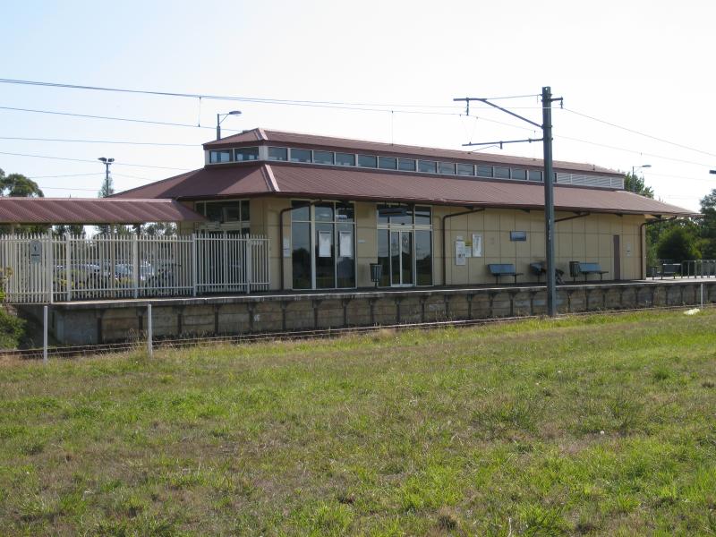
Cranbourne railway station viewed from South Gippsland Hwy at railway line
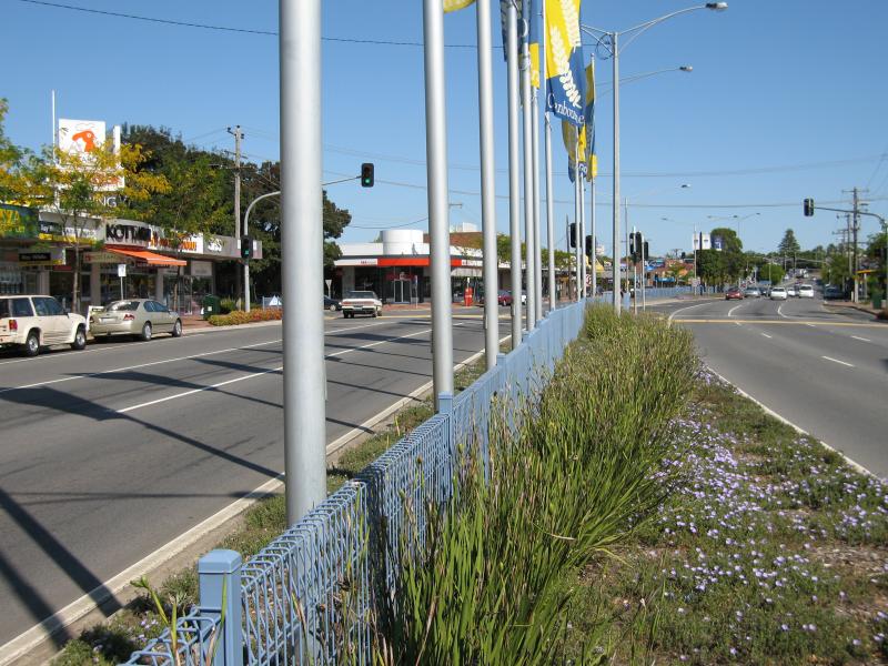
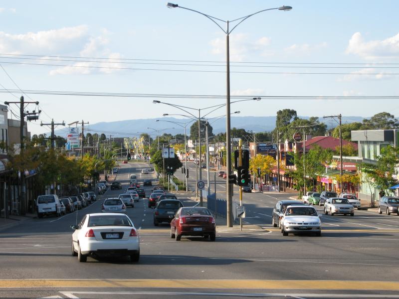
View south along South Gippsland Hwy towards Clarendon St

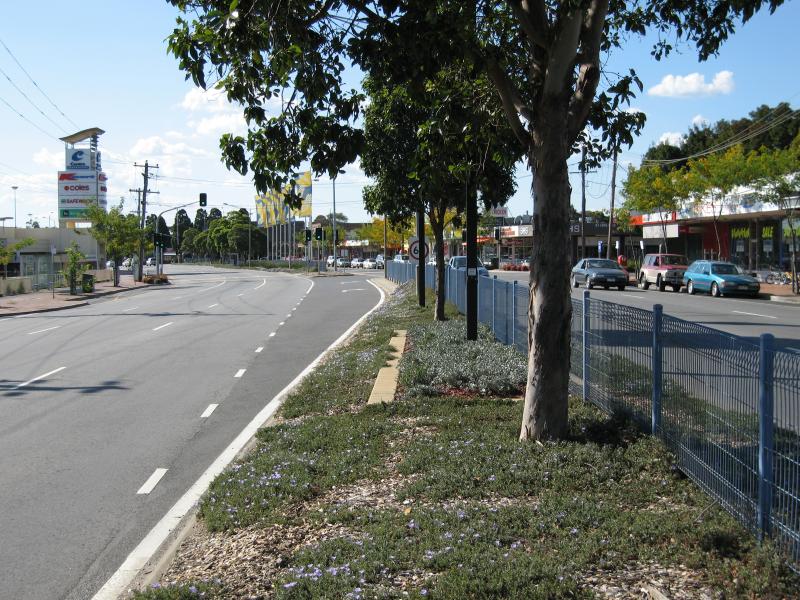
View south-east along South Gippsland Hwy, south of Sladen St
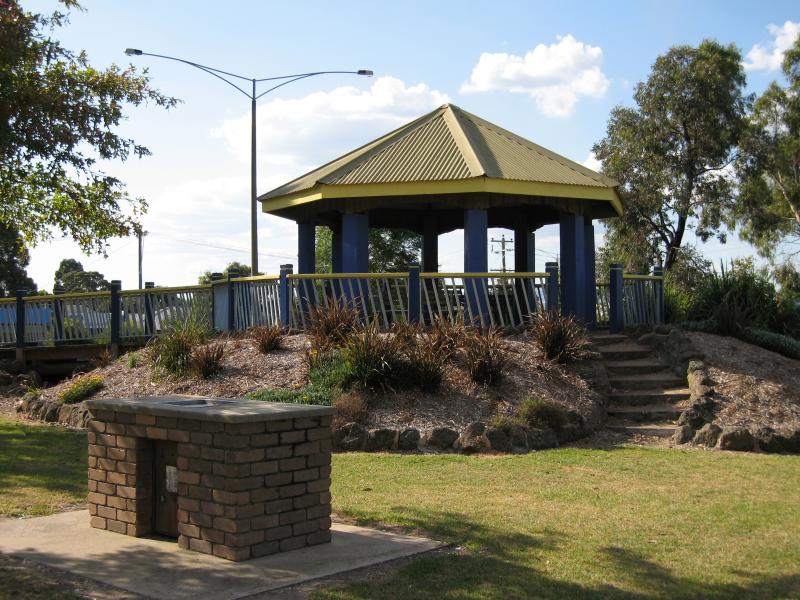
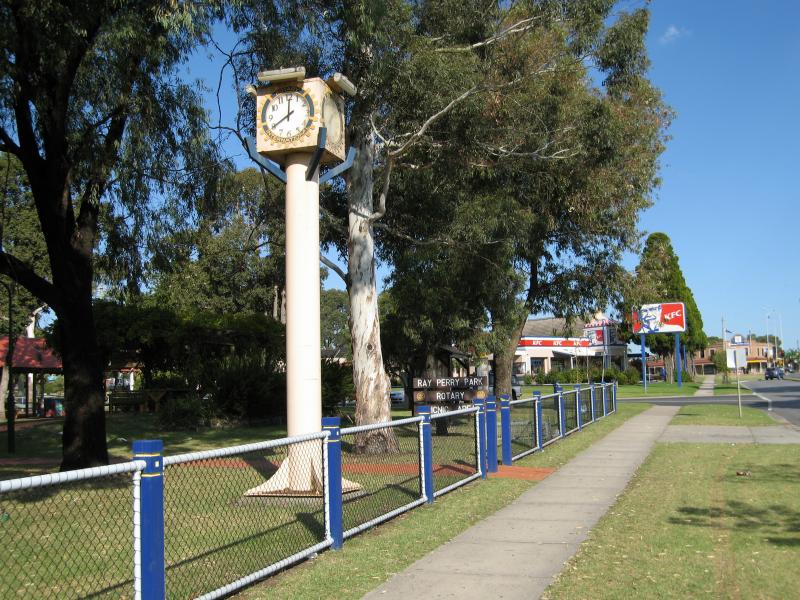
Rotunda

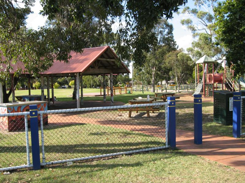
View through park from Rotunda
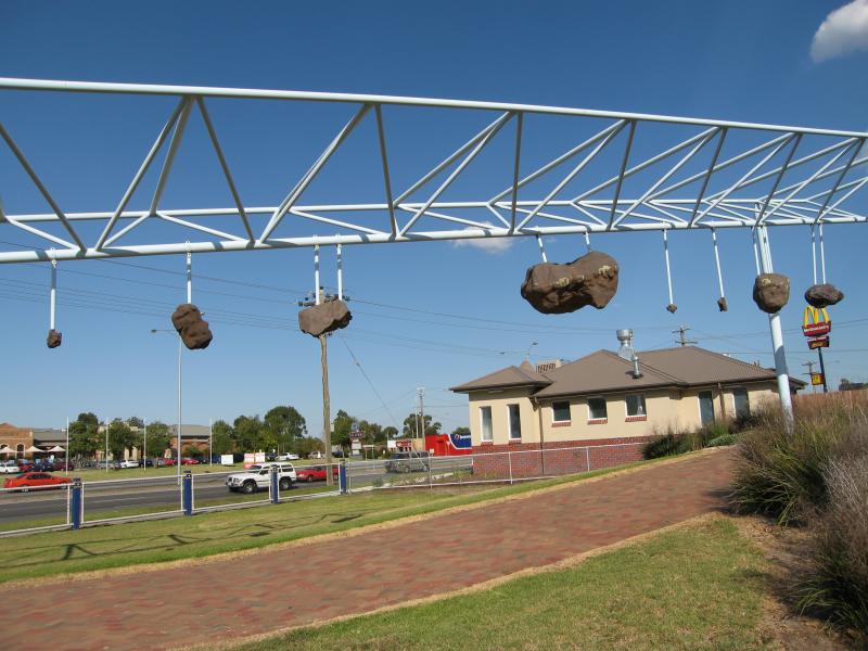
Meteorite display

Meteorite display
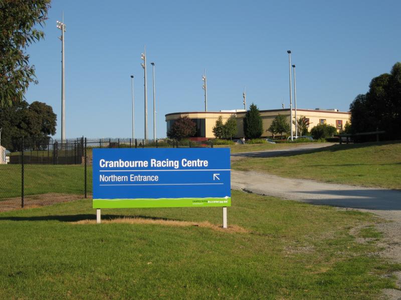
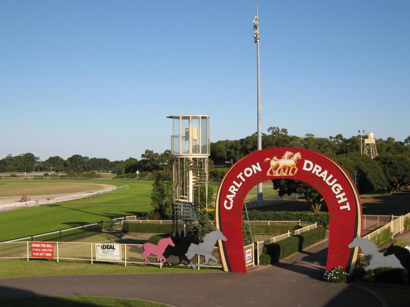
View south along Grant St at northern entrance to racecourse
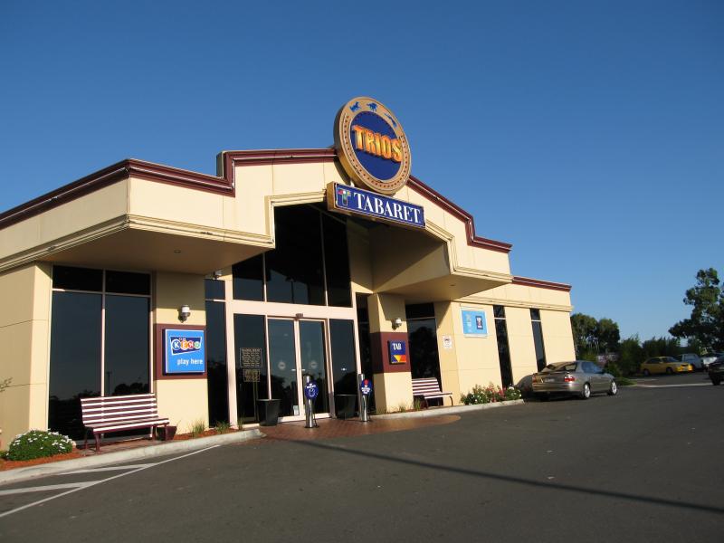
Trios Taberet and Bistro, Grant St
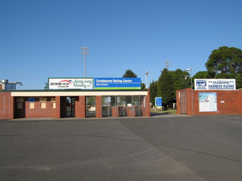
Cranbourne Racing Centre main entrance at car park off Grant St

Seating areas next to grandstand
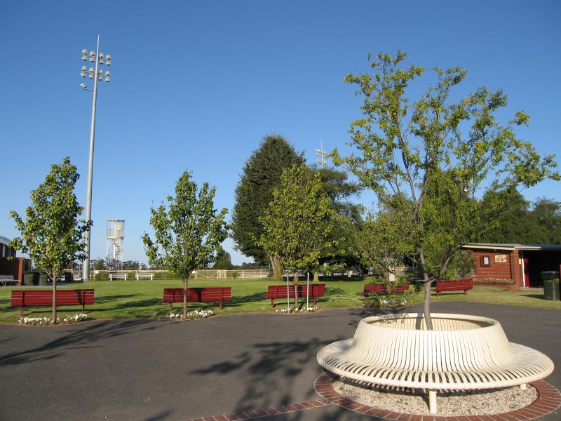
Seating areas near grandstand
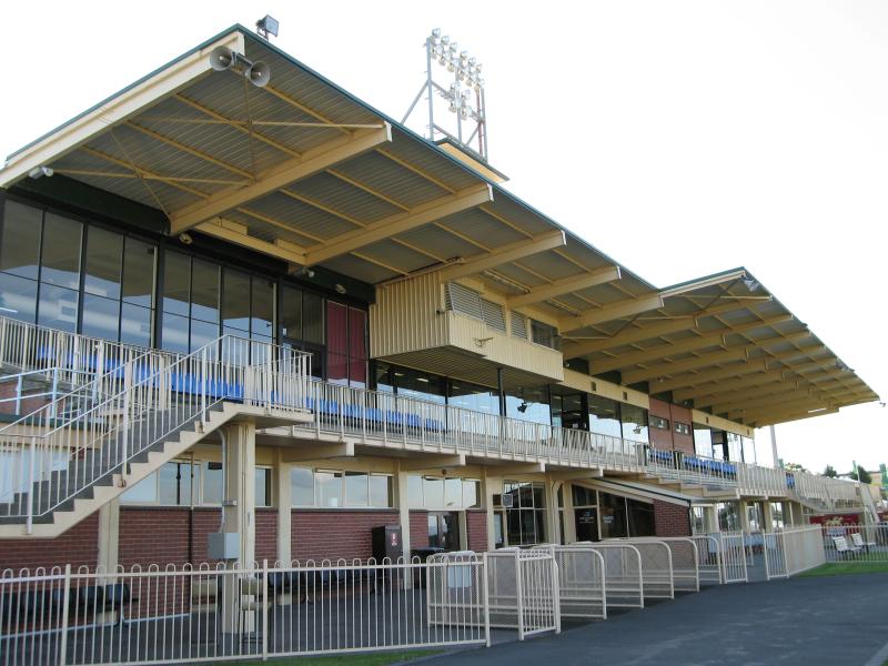
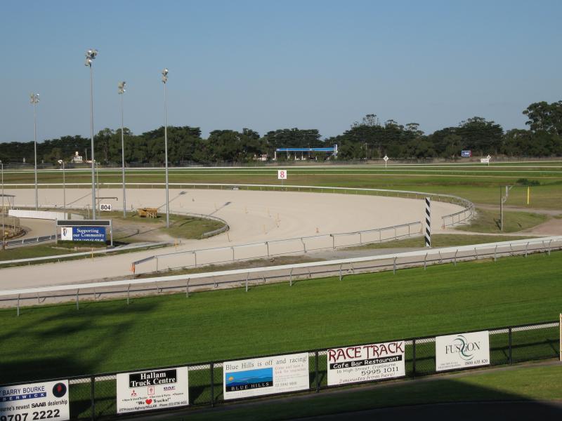
Grandstand
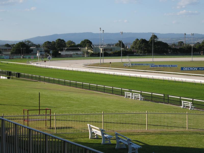
View south from grandstand
View east across track from grandstand
View north-east across track from grandstand
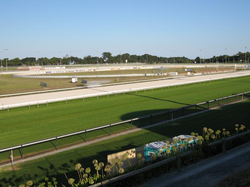
View south-east across track from Trios Taberet car park

View south-west to grandstand from South Gippsland Hwy south of Sladen St
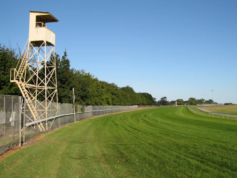
View south along track from South Gippsland Hwy south of Sladen St
View of showroom factories from roundabout at Bunnings
View east through car park towards showroom factories
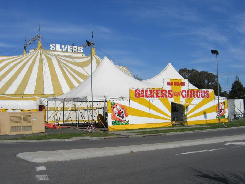
Silvers Circus set up on vacant land opposite La Porchetta

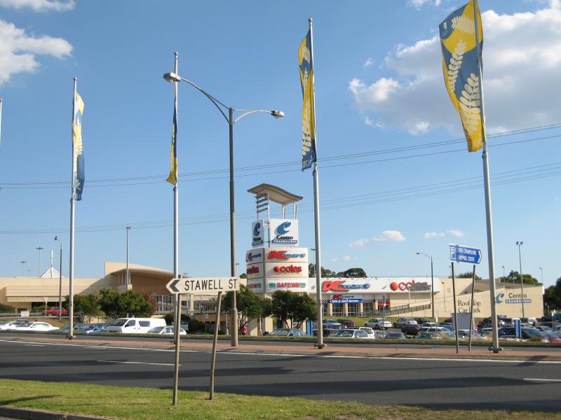
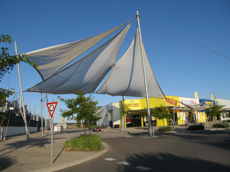
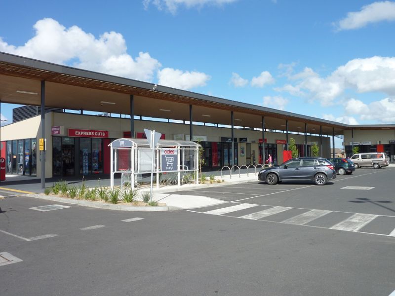
View of shopping centre from car park
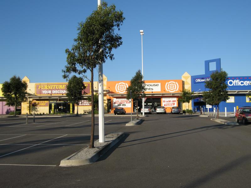
Car park
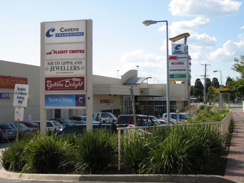
Shops

Entrance to Royal Botanic Gardens at Ballarto Rd
Entrance driveway
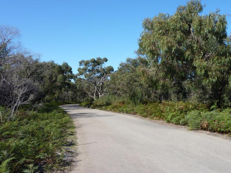
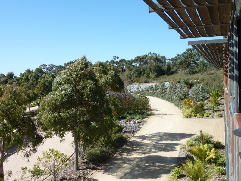
View along Stringybark Dr
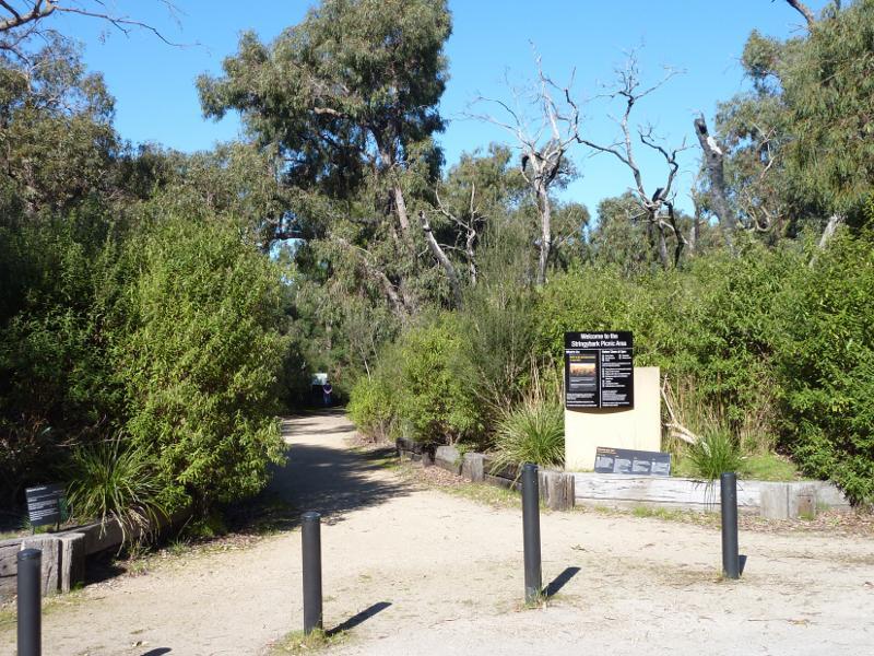
Entrance to Stringybark Picnic Area at car park
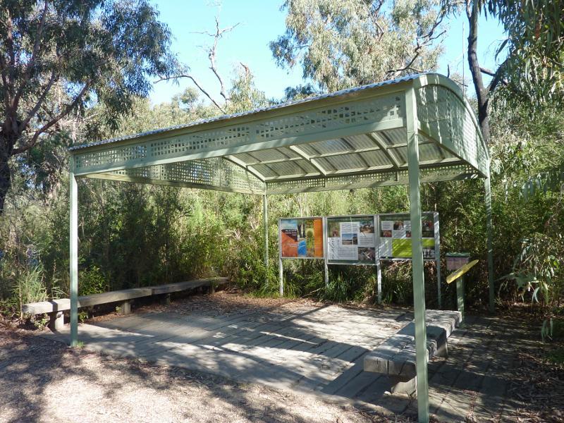
Information shelter at Stringybark Picnic Area
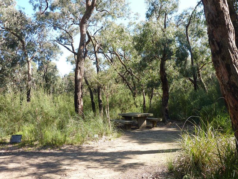
Table at Stringybark Picnic Area
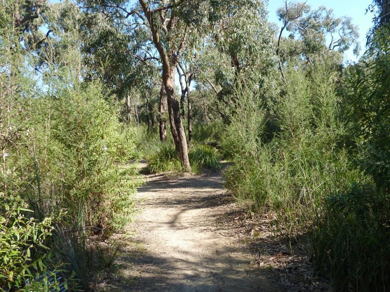
Pathway at Stringybark Picnic Area
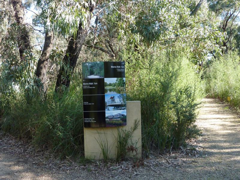
Manna Walk at Stringybark Picnic Area

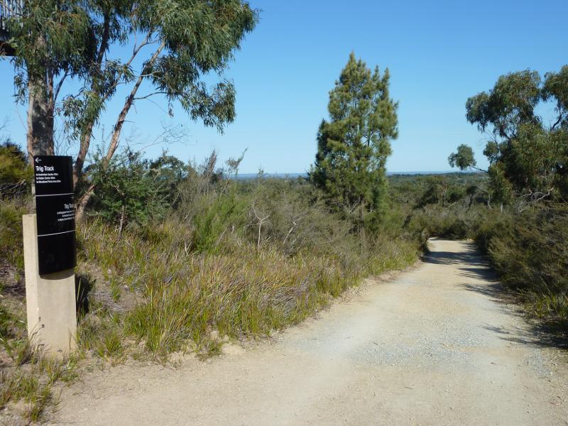
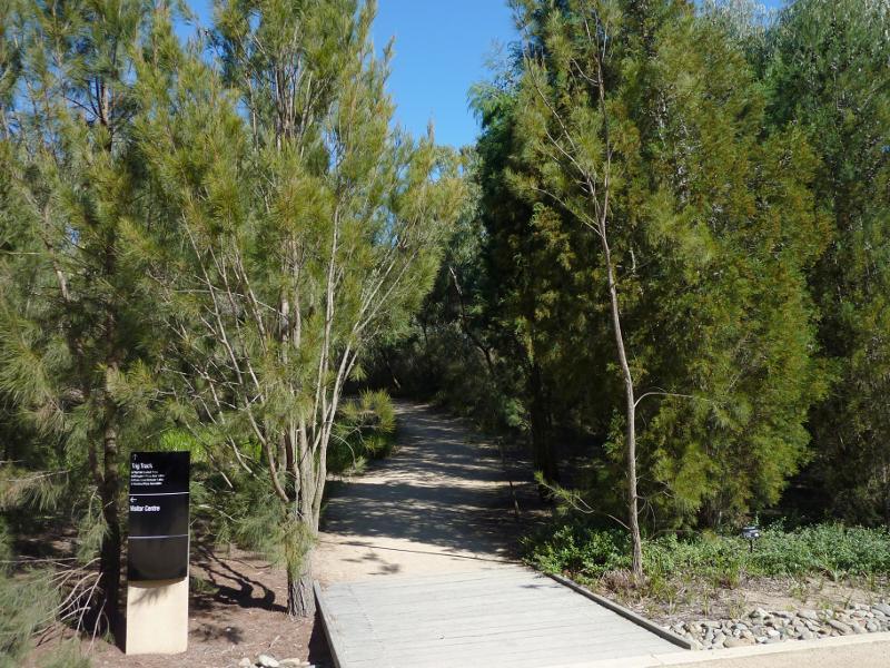
Trig Track
Trig Track
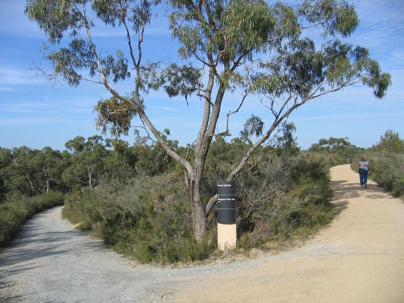
Junction of Trig Track and Possum Gully Track
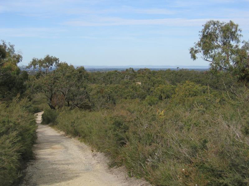
South-easterly view along Trig Track near Trig Point Lookout
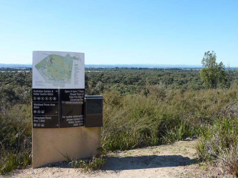
Map and information near Trig Point Lookout
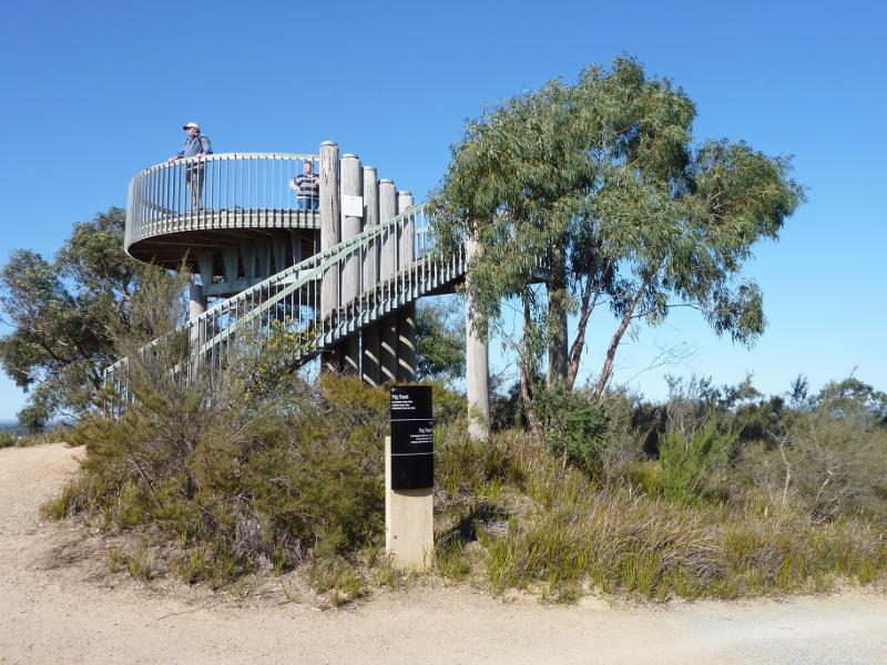
Trig Point Lookout viewed from Trig Track
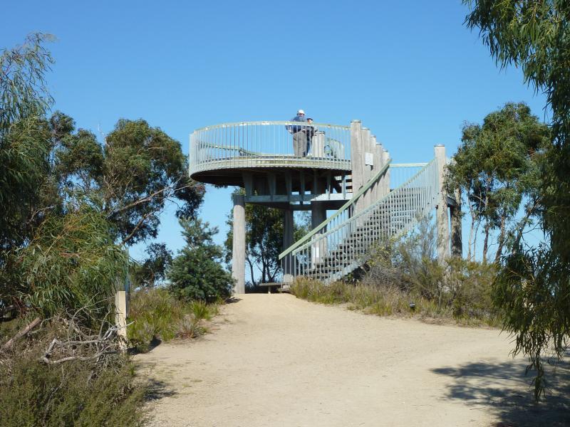
View along Trig Track towards Trig Point Lookout
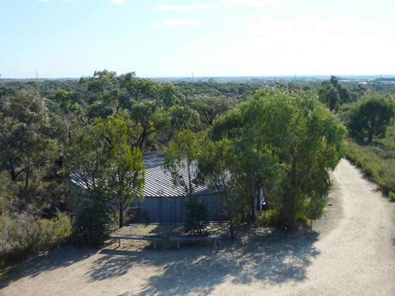
Entrance to viewing deck at top of Trig Point Lookout
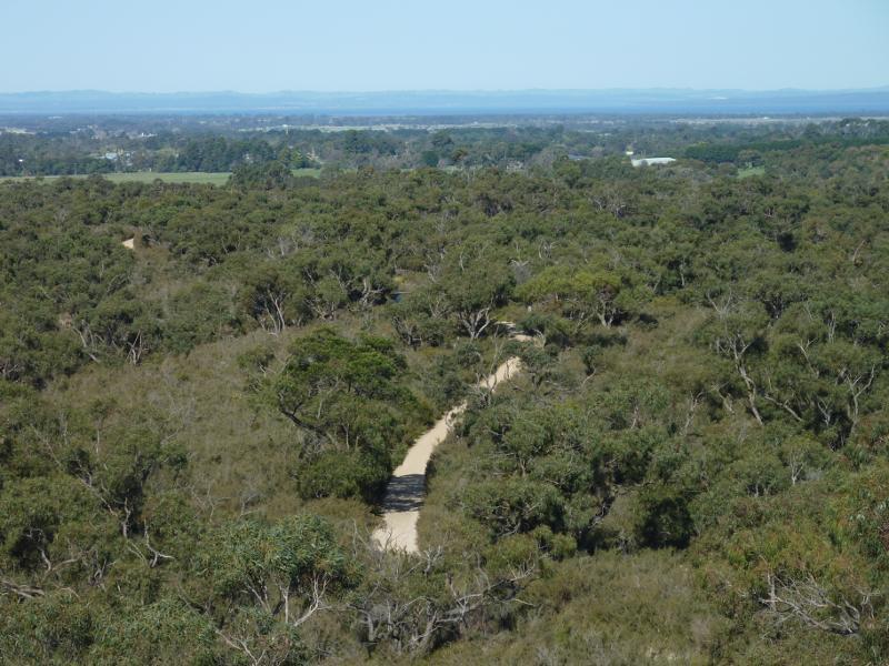
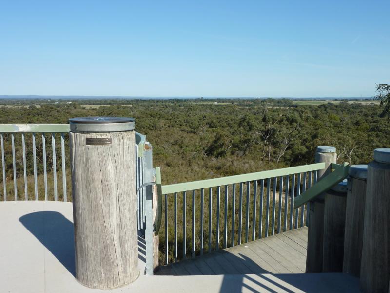
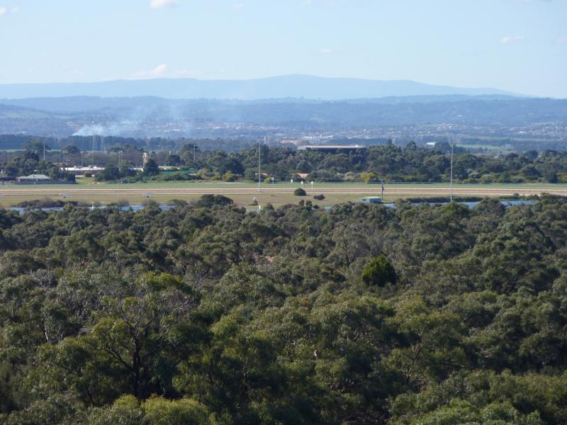
South-easterly view from Trig Point Lookout towards Trig Track and Western Port
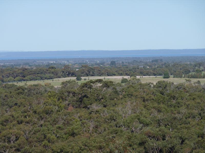
South-easterly view from Trig Point Lookout towards Western Port
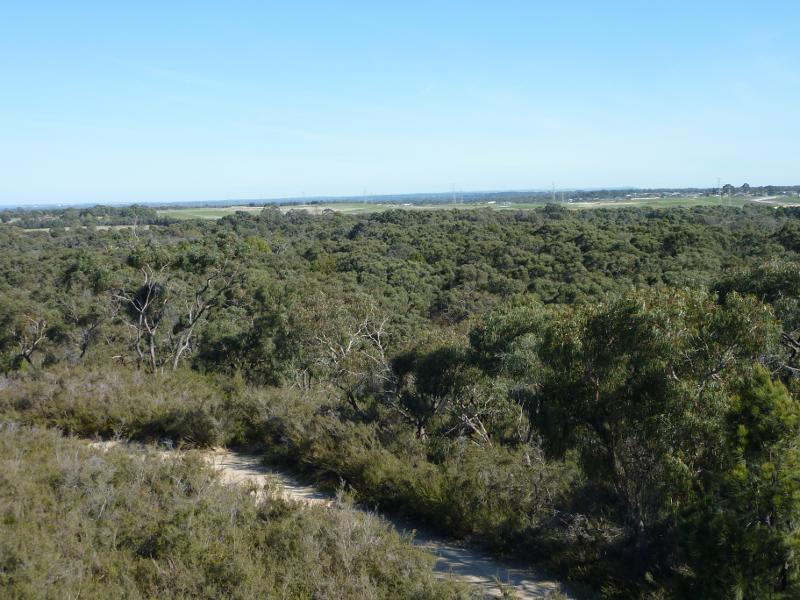
South-westerly view from Trig Point Lookout
Westerly view from Trig Point Lookout towards residential areas
North-westerly view from Trig Point Lookout towards water tank

North-westerly view from Trig Point Lookout along Trig Track
Northerly view from Trig Point Lookout towards Australian Garden

Northerly view from Trig Point Lookout towards Australian Garden
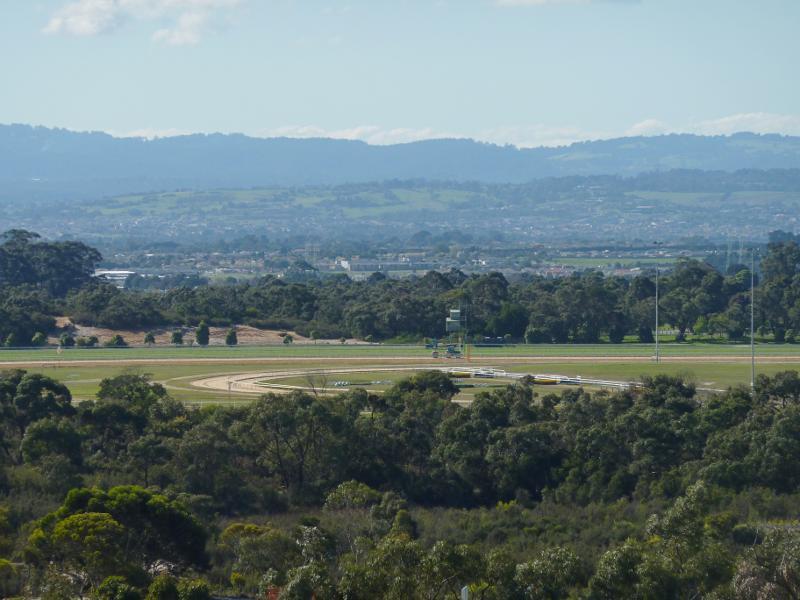
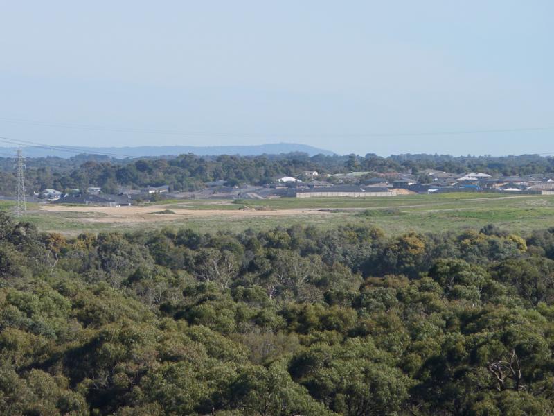
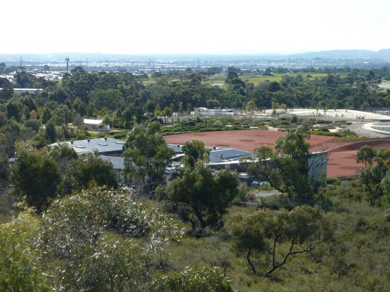
North-easterly view from Trig Point Lookout towards Cranbourne Racecourse
North-easterly view from Trig Point Lookout towards Cranbourne Racecourse
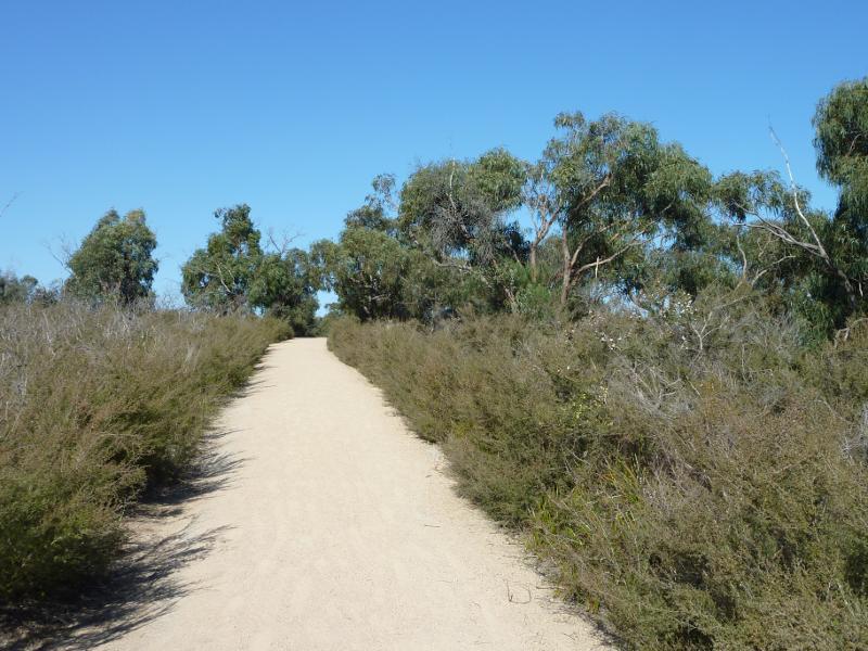
View along Trig Track north-west of Trig Point Lookout
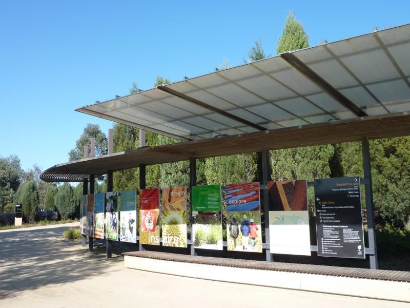
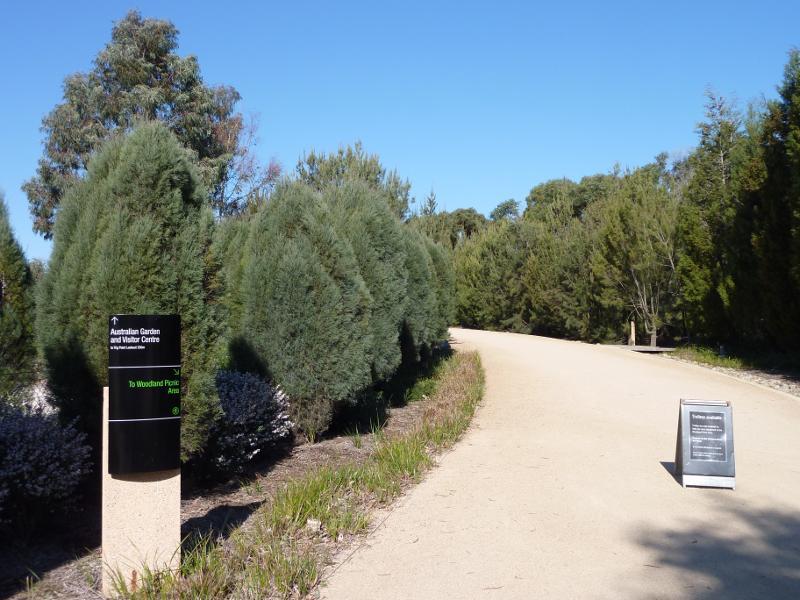
Entrance to Trig Track at Australian Garden
Entry shelter at car park
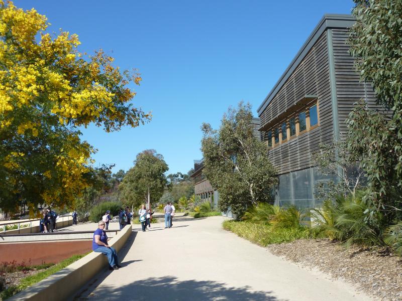
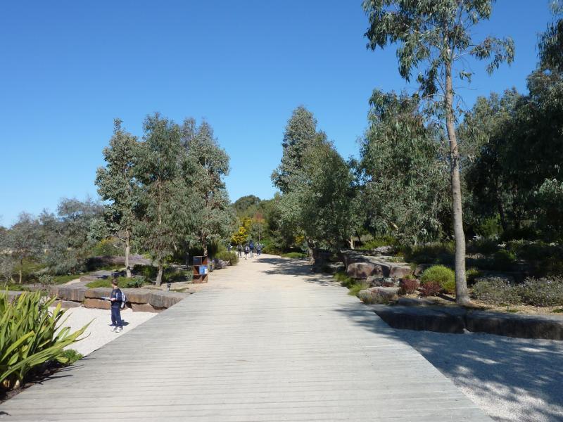
Path from car park to visitor centre
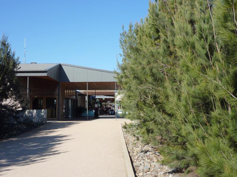
Entrance to visitor centre
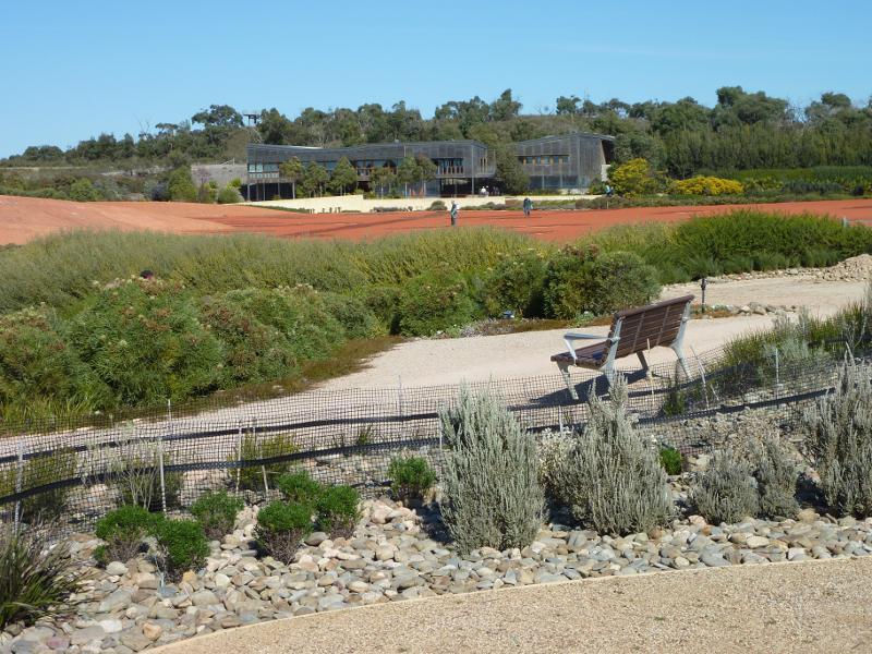
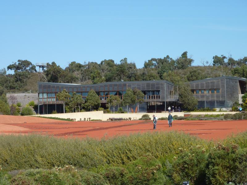
View from visitor centre towards Dry River Bed
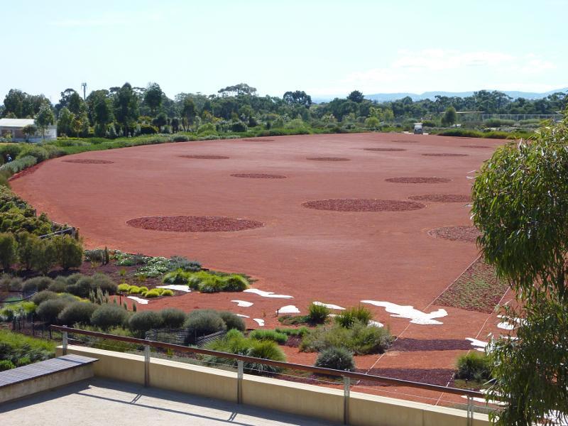
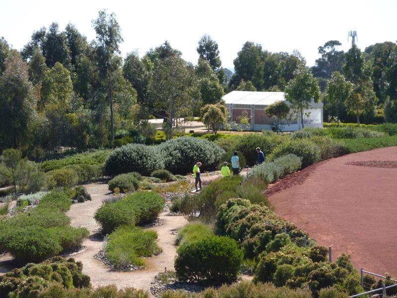
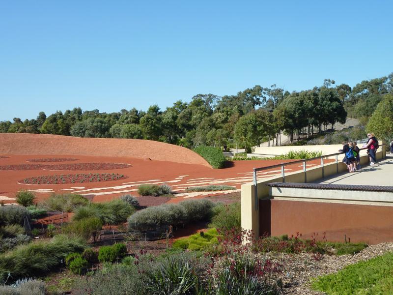
View north-west across Red Sand Garden from visitor centre

Northerly view towards Red Sand Garden from visitor centre
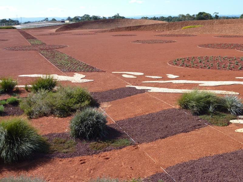
Northerly view across Red Sand Garden from visitor centre
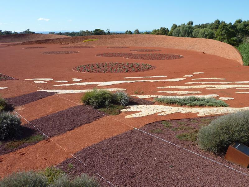
North-easterly view across Red Sand Garden from visitor centre
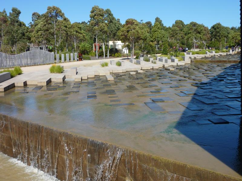
View from visitor centre towards Rockpool Waterway
View along front of visitor centre from Boonerwurrung Cafe

Visitor centre and Boonerwurrung Cafe
View east along front of visitor centre
Viewing area overlooking Red Sand Garden
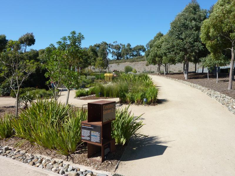
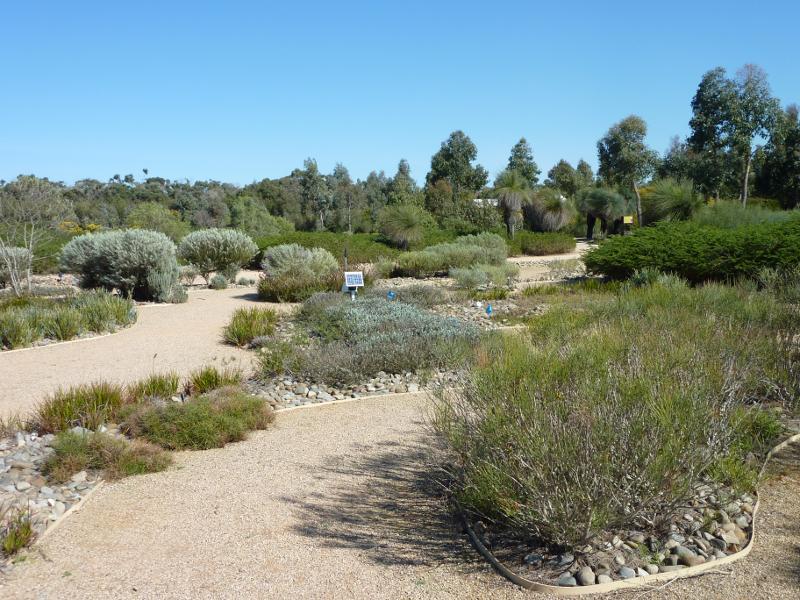
Water Saving Garden
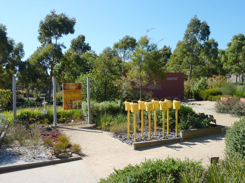
Water Saving Garden
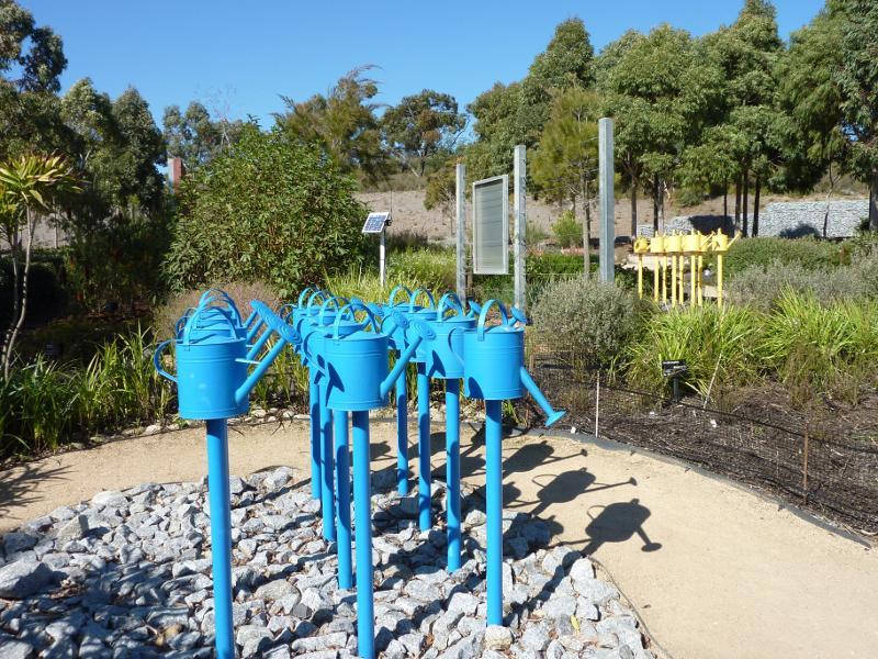
Water Saving Garden
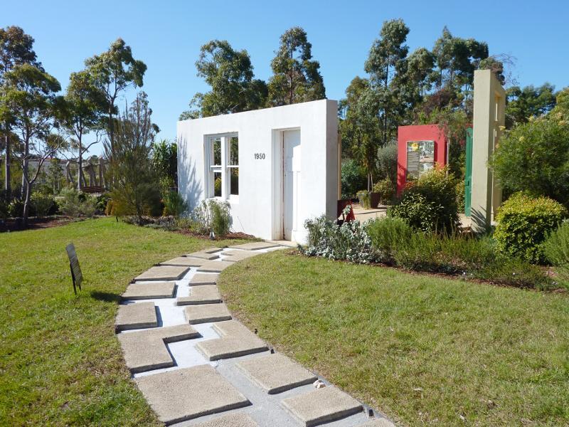
Home Garden
Home Garden
Home Garden
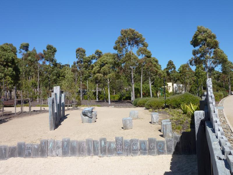
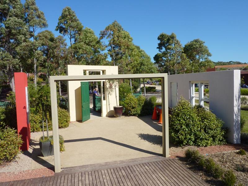
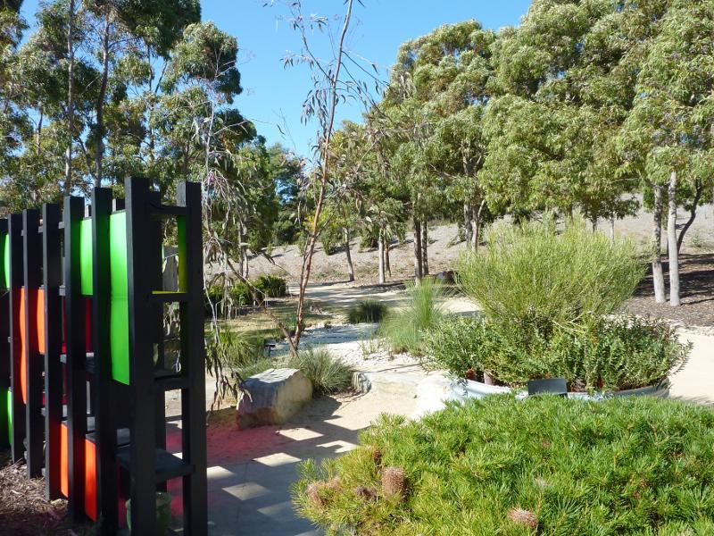
Kid's Backyard
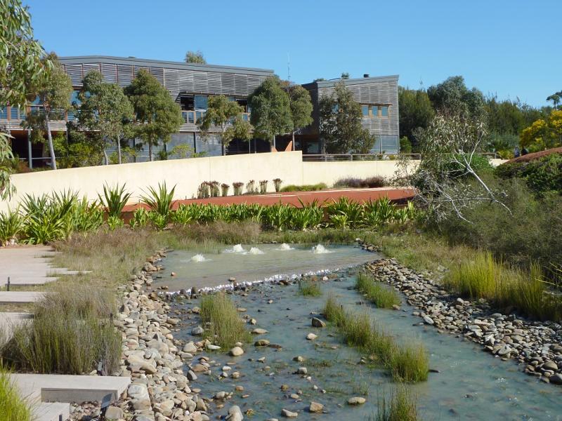
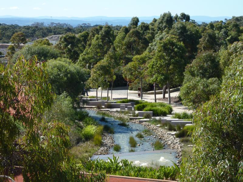
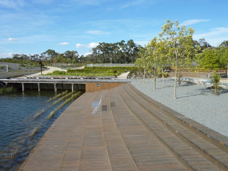
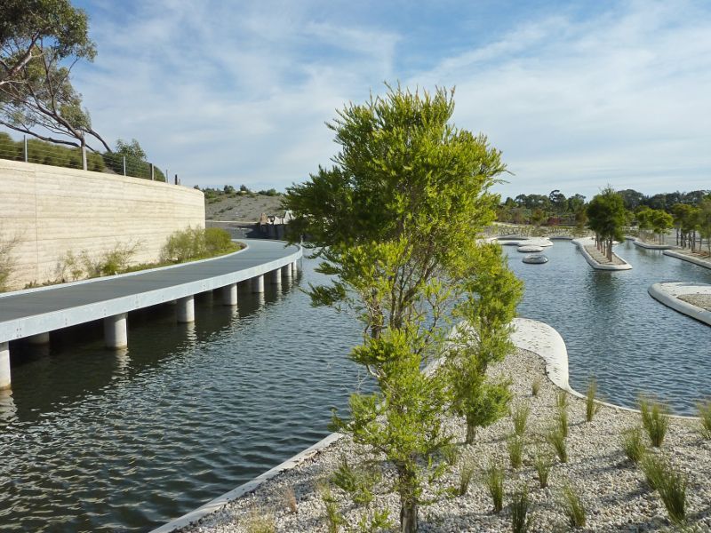
View along Rockpool Waterway towards visitor centre
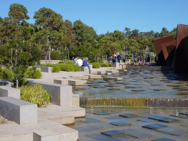
View south along Rockpool Waterway beside Escarpment Wall Sculpture
View across Rockpool Waterway towards exhibition gardens
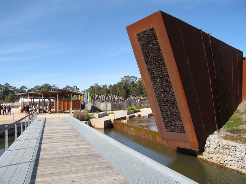
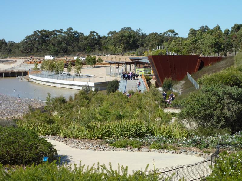
View east along Waterhole Bridge towards Escarpment Wall Sculpture and Rock Pavilion
View east along Serpentine Path towards Waterhole Bridge
Ponding Platform with Cultivar Garden in background
Melaleuca Spits viewed from Arbour Garden Bridge
Seaside Garden at Melaleuca Spits
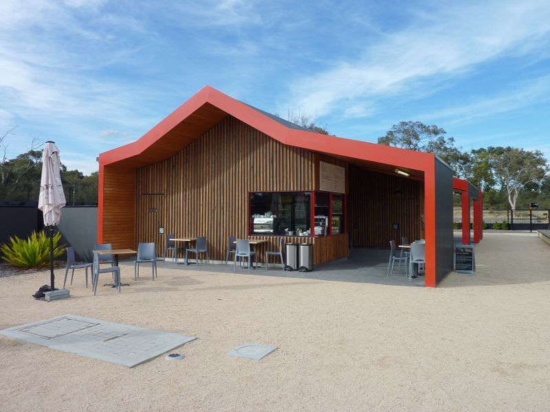
Kiosk at northern end of gardens

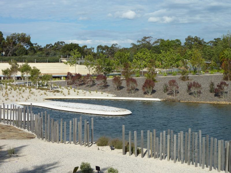
Lily Pad Bridge over Ian Potter Lake
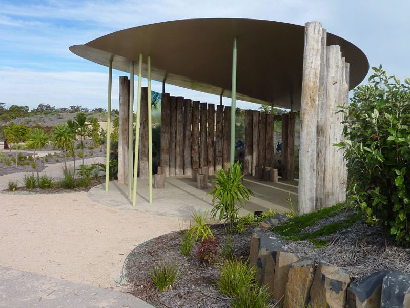
Shelter at Gondwana Garden
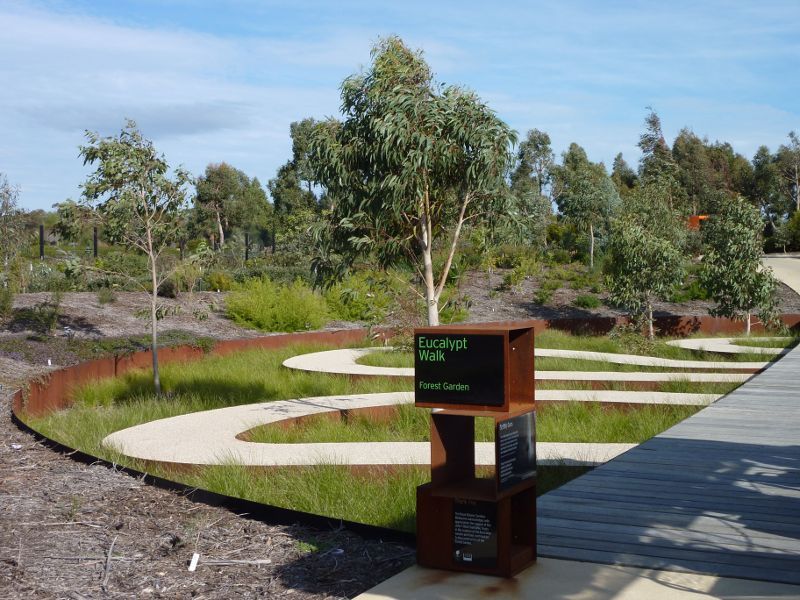
Scribbly Path through Forest Garden on Eucalypt Walk
View from Arid Garden towards Red Sand Garden and visitor centre
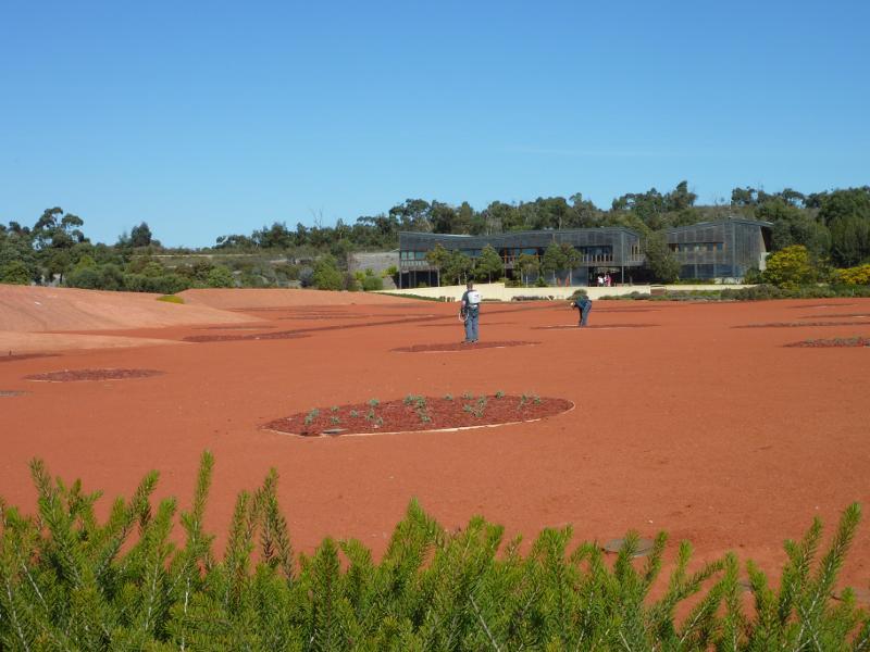
South-easterly view across Red Sand Garden towards visitor centre
View across Red Sand Garden towards visitor centre

Desert Discovery Camp
Arid Garden
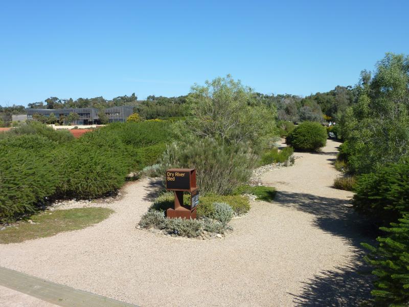
Dry River Bed

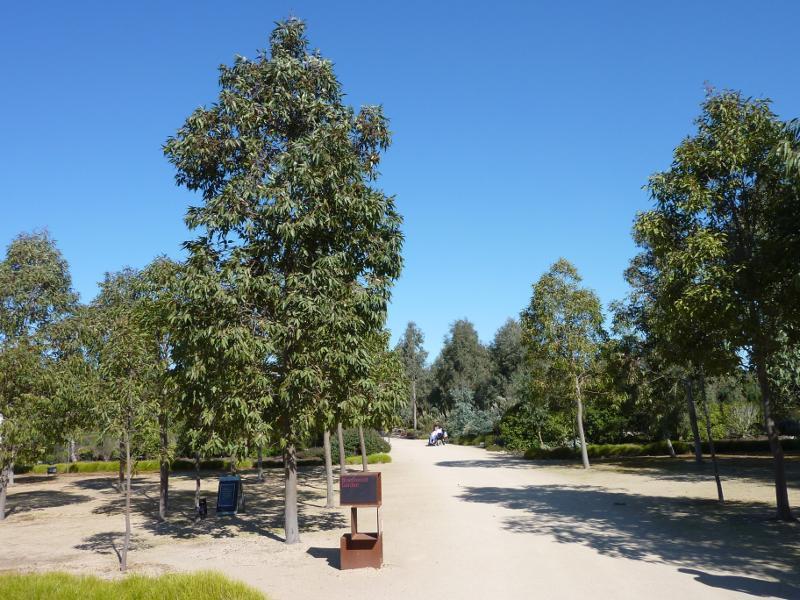
Eucalypt Walk
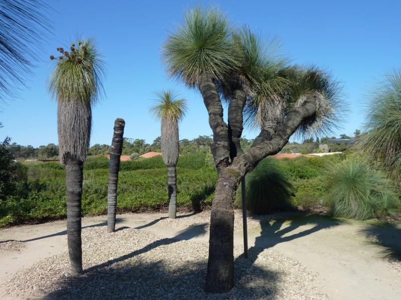
Kingia Australis (Drumstick) trees in Stringybark Garden
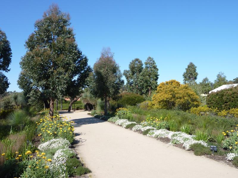
Stringybark Garden
Bloodwood Garden

Peppermint Garden
Box Garden
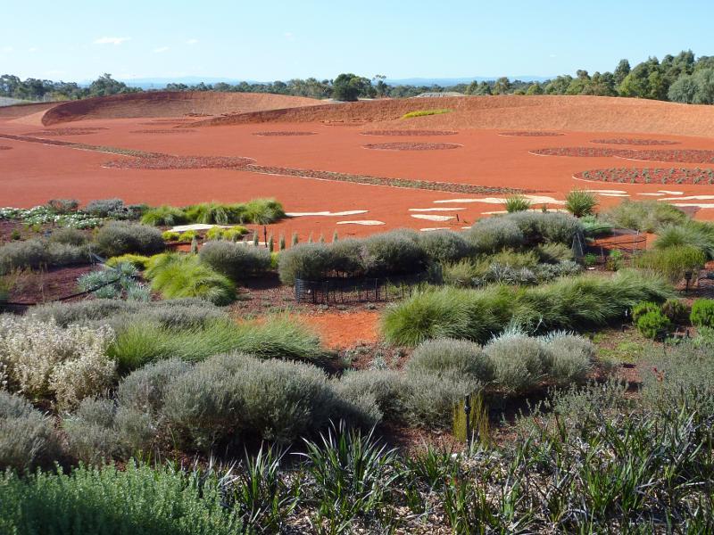
North-easterly view across Red Sand Garden from Dry River Bed