Halls Gap - public transport
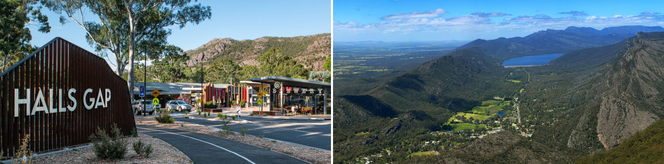
Halls Gap
Stay
See and do
Food and drink
Shopping
Getting around
Visitor information
Train
Stawell station
(24 km away)
Ararat station
(48 km away)
Bus
| Route | Operator | Timetable | Map |
|---|---|---|---|
| Stawell to Halls Gap Via Stawell station |
|||
| Warrnambool to Ararat Via Warrnambool station, Port Fairy, Macarthur, Hamilton, Dunkeld, Halls Gap, Pomonal, Moyston, Ararat station |
Christians Bus |