Lilydale - maps & location
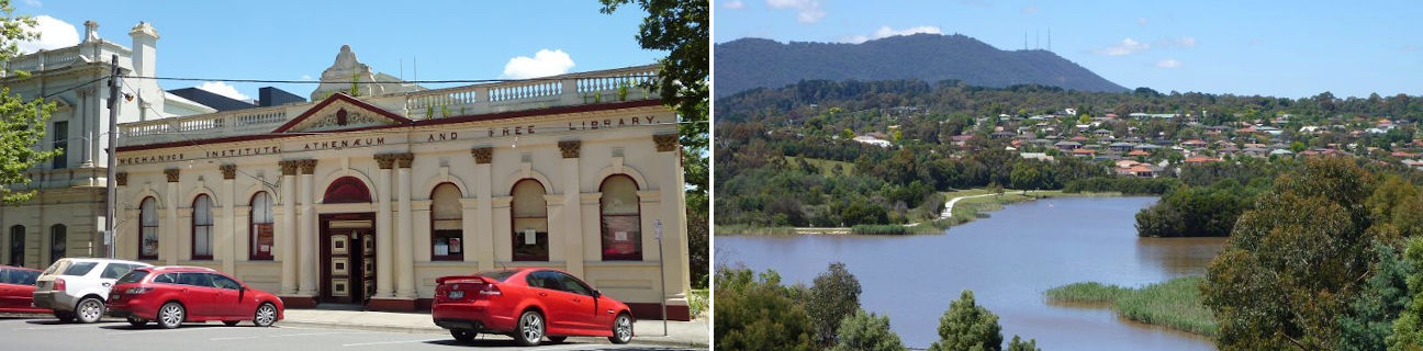
Lilydale
Stay
See and do
Food and drink
Shopping
Getting around
Visitor information
Location
Location by road
39 km east of Melbourne
Geographic coordinates
37° 45' 27'' S
145° 21' 01'' E
Maps
Location in Victoria

39 km east of Melbourne
37° 45' 27'' S
145° 21' 01'' E