Marysville - photos
Marysville
Stay
See and do
Food and drink
Shopping
Getting around
Visitor information
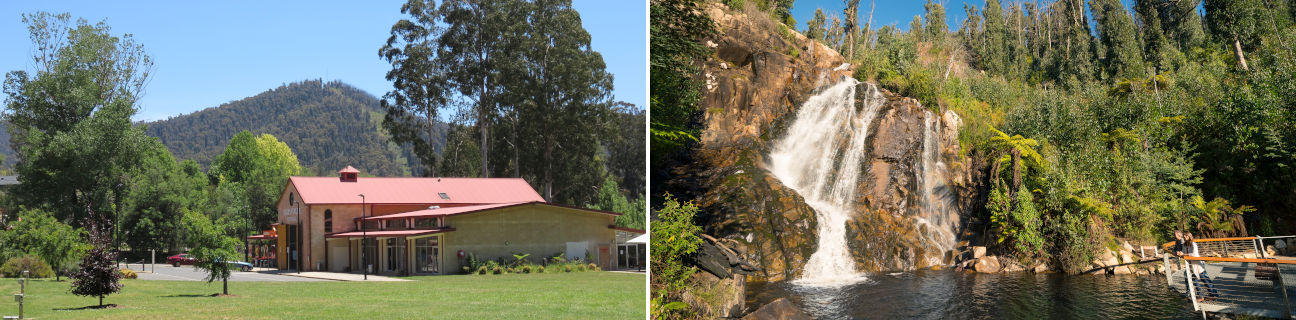
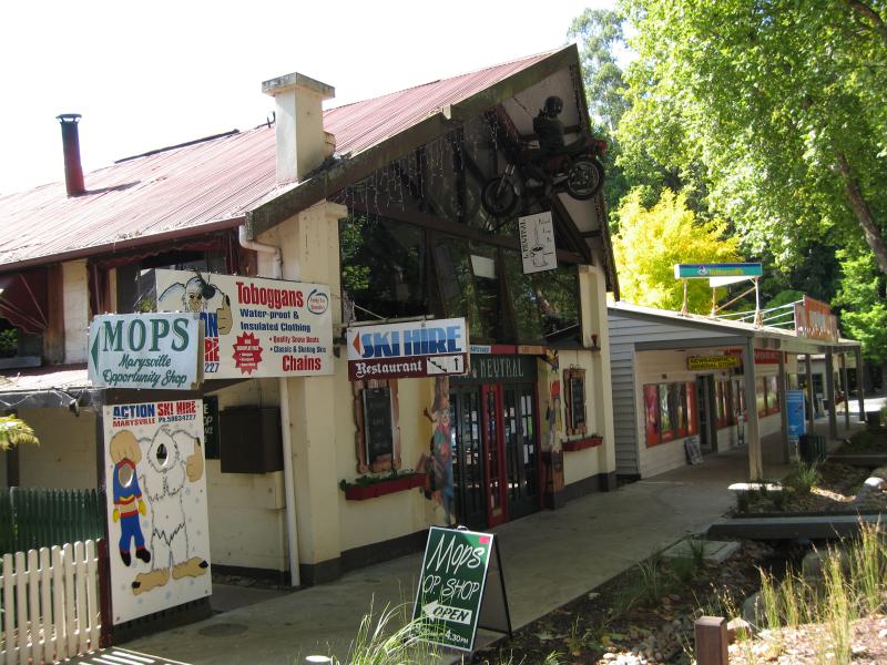
 Marysville Central, Darwin Street - Entrance to Marysville Central fronting Darwin St
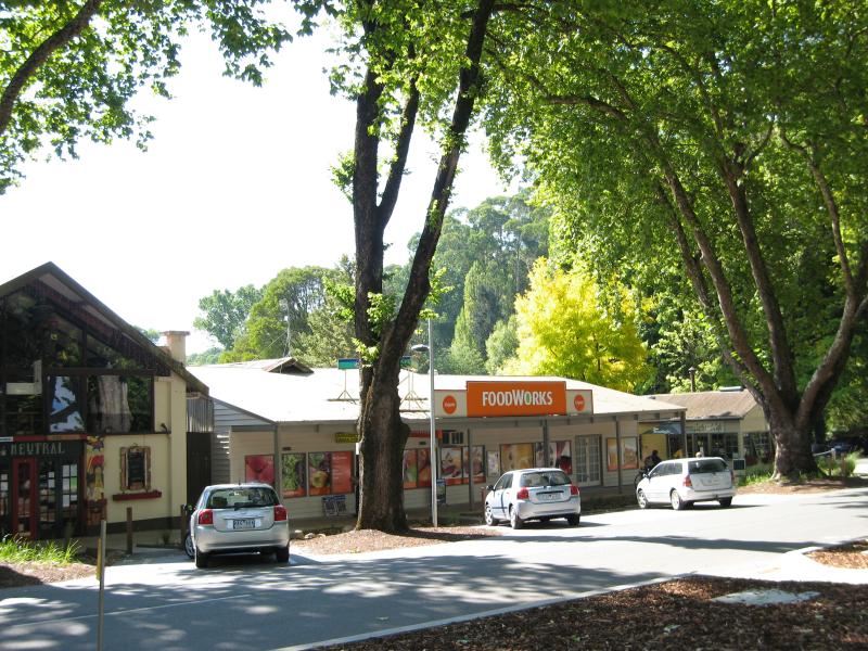
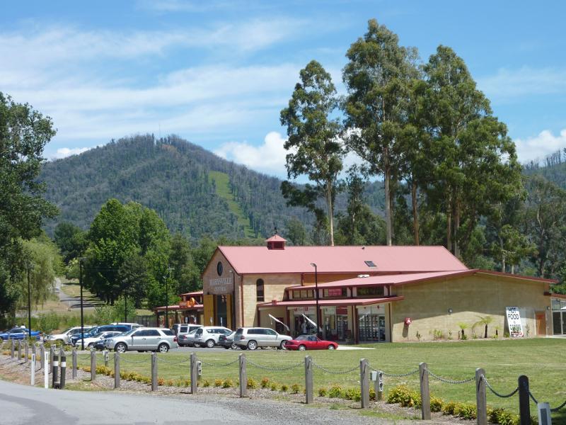 Marysville Central, Darwin Street - View of Marysville Central from Darwin St
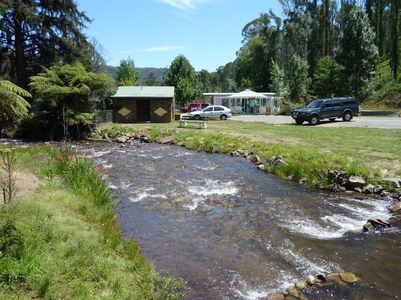
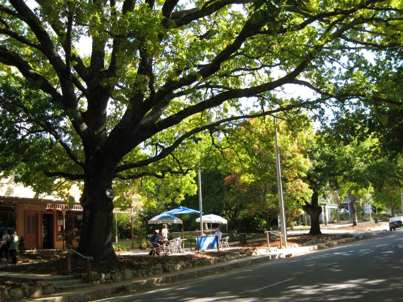
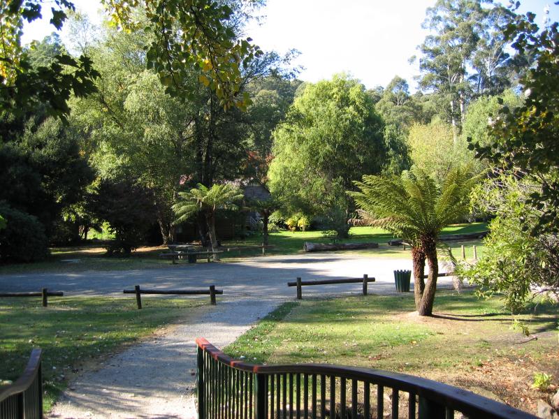
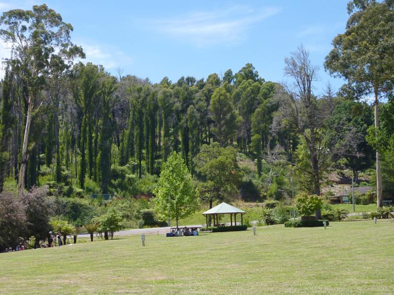 Park along Darwin Street at Steavenson River - Easterly view through park towards Steavenson River
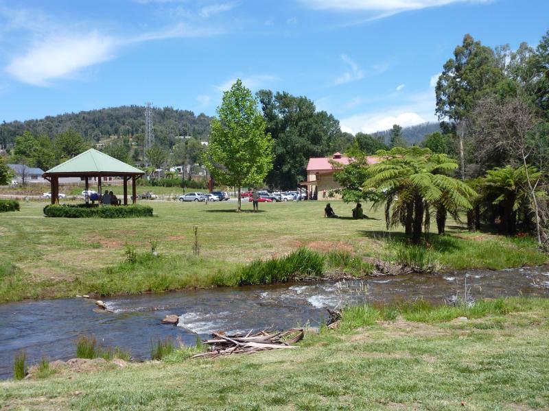 Park along Darwin Street at Steavenson River - View west across Steavenson River towards rotunda and Marysville Central
 Park along Darwin Street at Steavenson River - Footbridge across Steavenson River
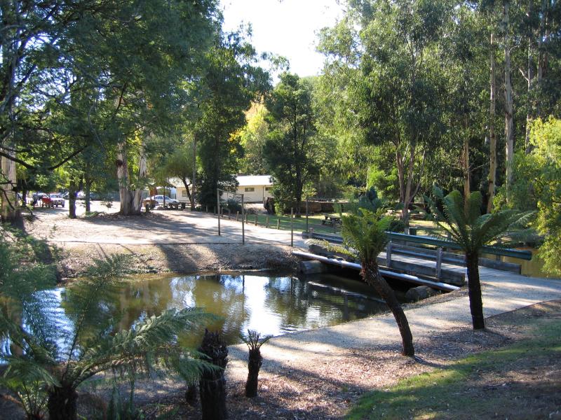
 Park along Darwin Street at Steavenson River - View along Steavenson River towards caravan park
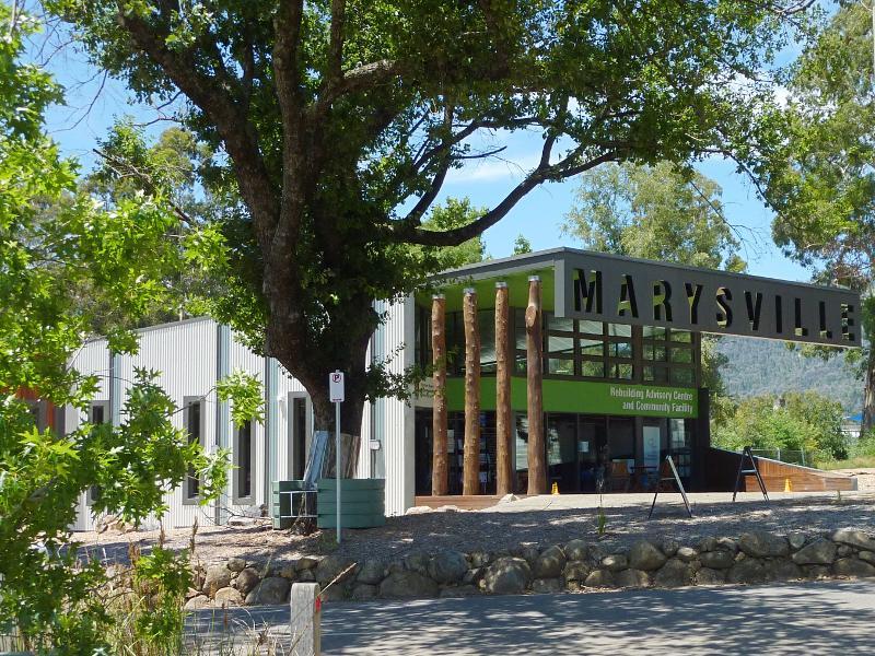 Murchison Street - Rebuilding Advisory Centre & Community Facility, Murchison St east of Pack Rd
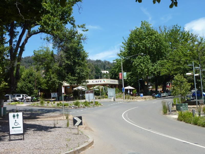 Murchison Street - View west along Murchison St towards Pack Rd
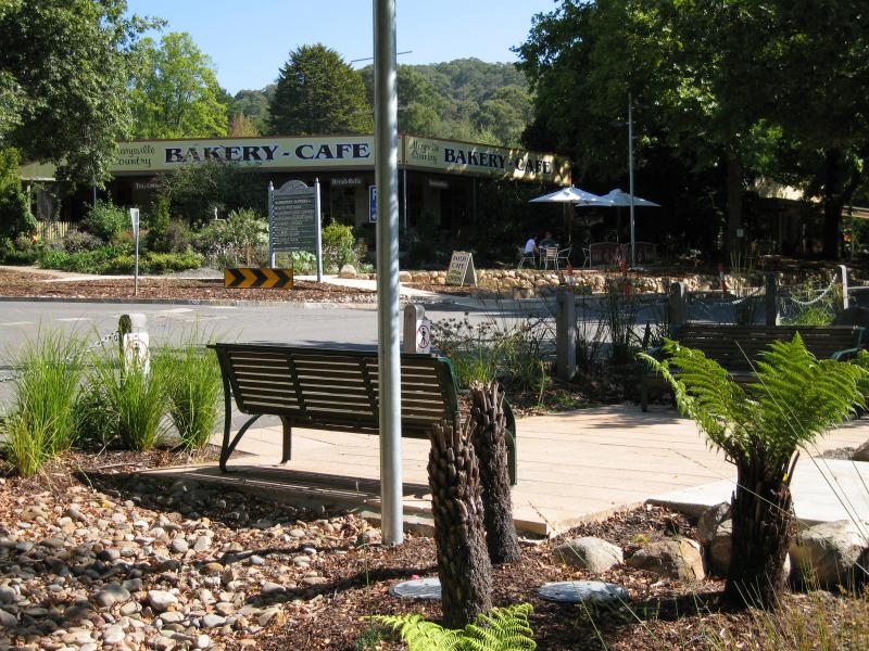
 Murchison Street - Bakery, corner Murchison St and Pack Rd
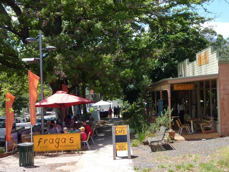 Murchison Street - Fraga's Cafe, Murchison St between Pack Rd and Lyell St
 (before the fires) Shops and commercial centre, Murchison Street - View east along Murchison St towards Lyell St
 (before the fires) Shops and commercial centre, Murchison Street - View east along Murchison St at Lyell St
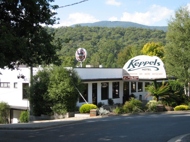 (before the fires) Shops and commercial centre, Murchison Street - Keppels Hotel, corner Murchison St and Lyell St
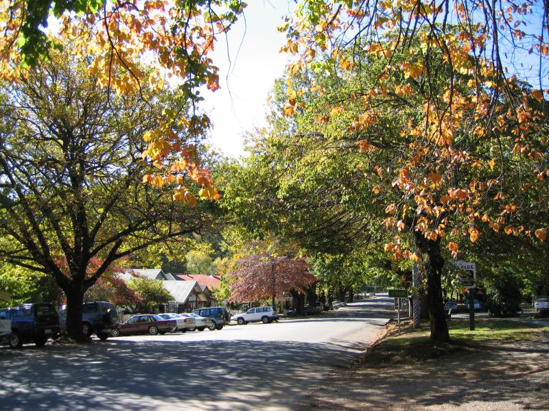
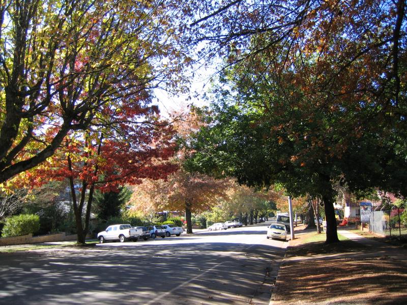 (before the fires) Shops and commercial centre, Murchison Street - Autumn colours, view east along Murchison St east of Lyell St
 (before the fires) Shops and commercial centre, Murchison Street - View west along Murchison St west of Pack Rd
 (before the fires) Shops and commercial centre, Murchison Street - View south across Murchison St at Pack Rd towards bakery
 (before the fires) Shops and commercial centre, Murchison Street - View south along Pack Rd at Murchison St
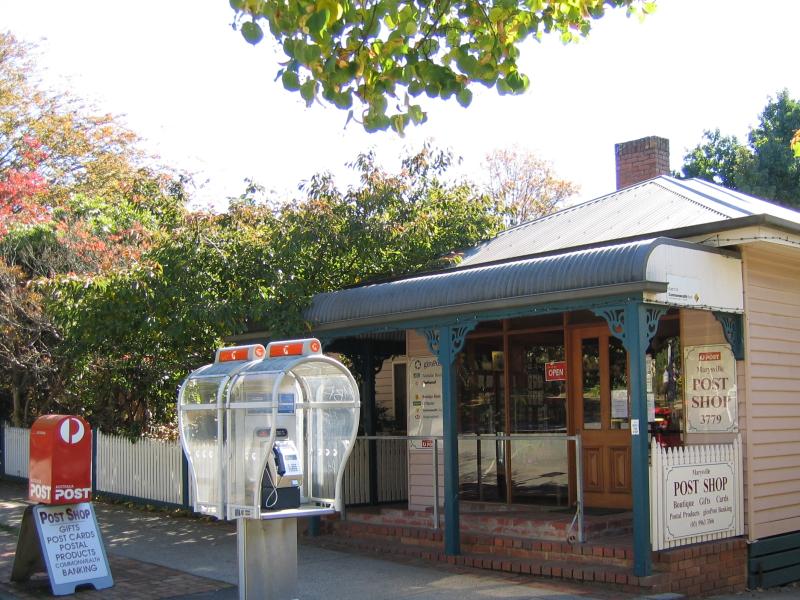 (before the fires) Shops and commercial centre, Murchison Street - Post Office, Murchison St opposite Pack Rd
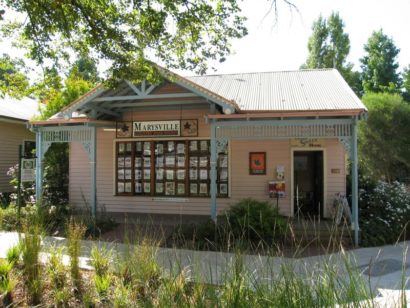 (before the fires) Shops and commercial centre, Murchison Street - Real estate office, Murchison St opposite Pack Rd
 (before the fires) Shops and commercial centre, Murchison Street - Marysville Patisserie, Murchison St east of Pack Rd
 (before the fires) Shops and commercial centre, Murchison Street - View north-east along Murchison St east of Pack Rd
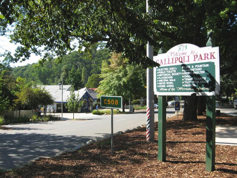 (before the fires) Shops and commercial centre, Murchison Street - View north-east along Murchison St at Gallipoli Park
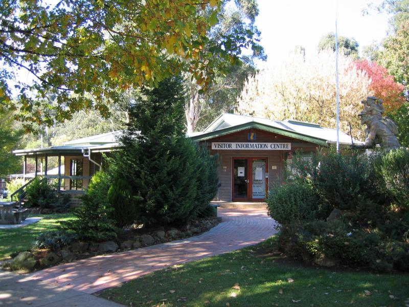 (before the fires) Shops and commercial centre, Murchison Street - Visitor Information Centre, Murchison St
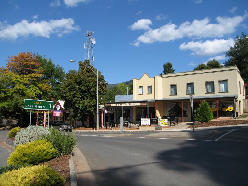
 (before the fires) Shops and commercial centre, Murchison Street - View south-west along Murchison St, west of Darwin St
 (before the fires) Shops and commercial centre, Murchison Street - View north-east along Murchison St towards Darwin St
 (before the fires) Shops and commercial centre, Murchison Street - Supermarket, Murchison St west of Darwin St
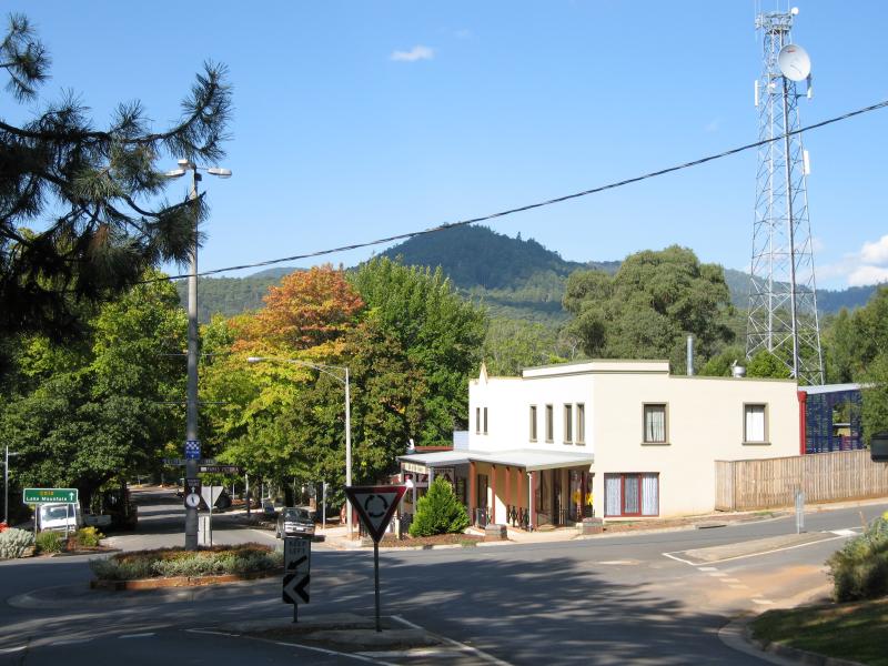
 (before the fires) Shops and commercial centre, Murchison Street - View south-west along Murchison St at Darwin St
 (before the fires) Shops and commercial centre, Murchison Street - View south-west along Murchison St at Steavenson River
 (before the fires) Shops and commercial centre, Murchison Street - View north-east along Murchison St towards Steavenson River
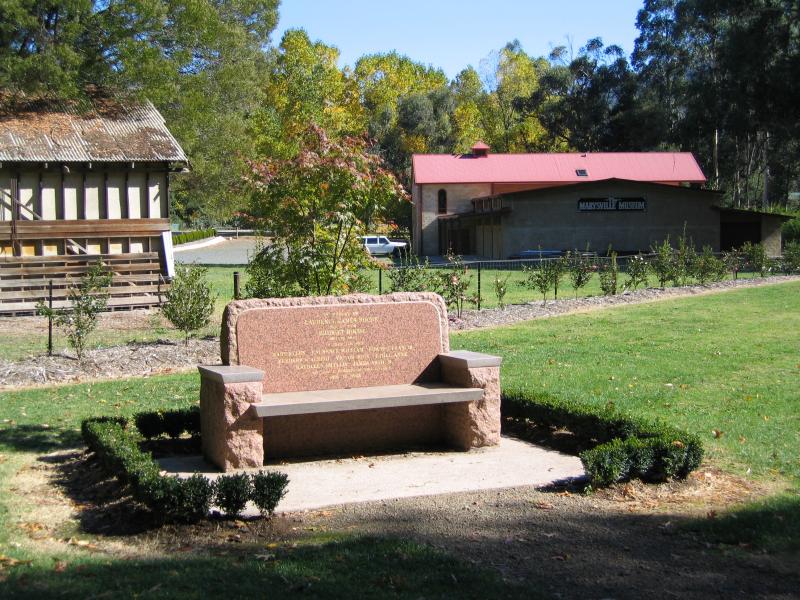
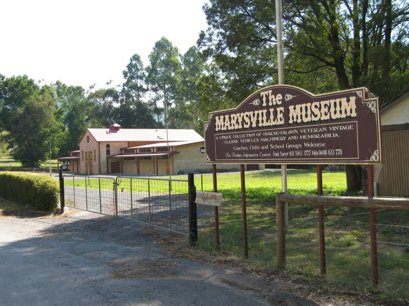 (before the fires) Steavenson River near Murchison Street - Marysville Museum, between Darwin St and Steavenson River
 (before the fires) Steavenson River near Murchison Street - View from river through park towards museum
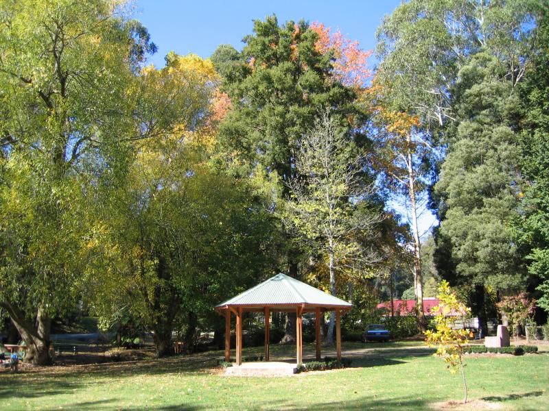 (before the fires) Steavenson River near Murchison Street - Rotunda in park beside river
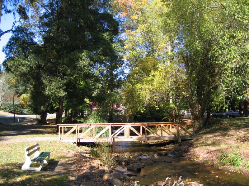 (before the fires) Steavenson River near Murchison Street - View south along river towards footbridge
 (before the fires) Gallipoli Park, Murchison Street - Car park and bridge over lake
 (before the fires) Gallipoli Park, Murchison Street - View from footbridge over Steavenson River
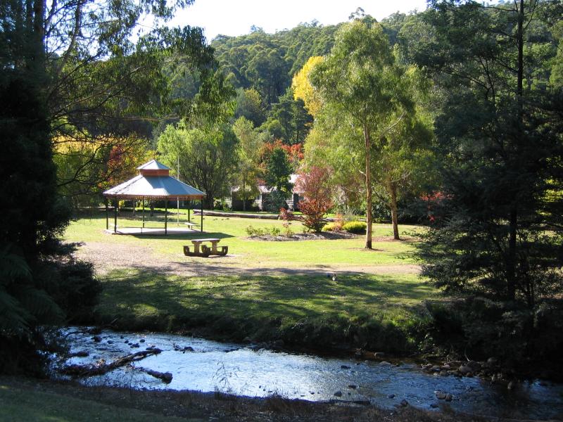
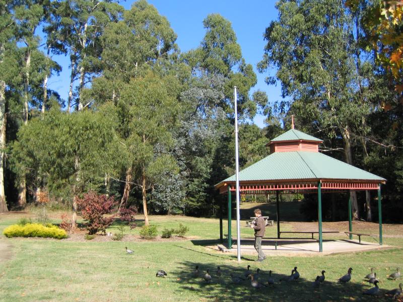 (before the fires) Gallipoli Park, Murchison Street - Rotunda
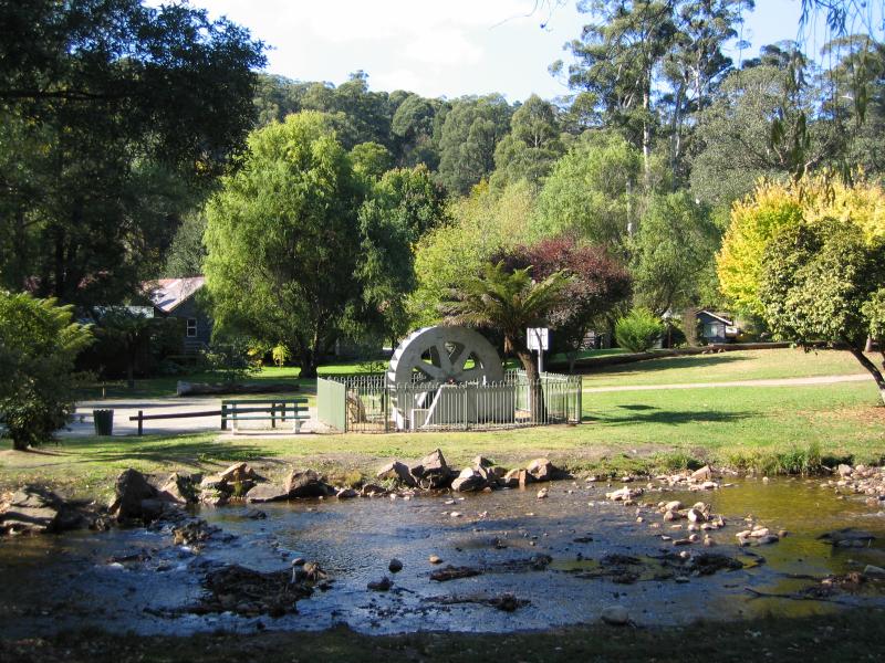
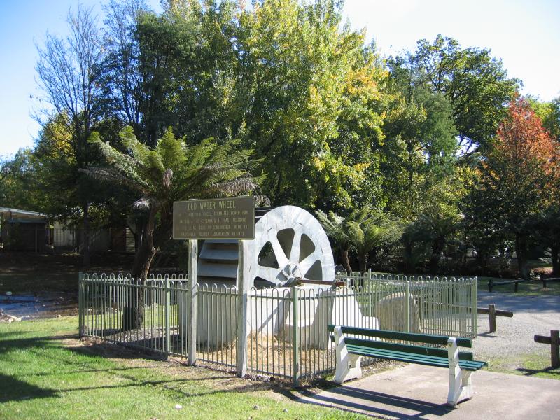 (before the fires) Gallipoli Park, Murchison Street - Old water wheel
 (before the fires) Gallipoli Park, Murchison Street - View across Steavenson River towards old water wheel
 (before the fires) Gallipoli Park, Murchison Street - View across Steavenson River towards rotunda
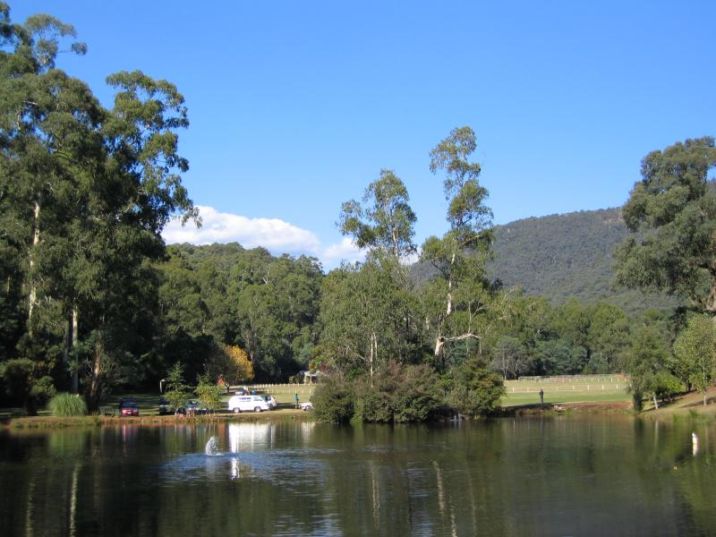 (before the fires) Gallipoli Park, Murchison Street - View across lake towards sports oval
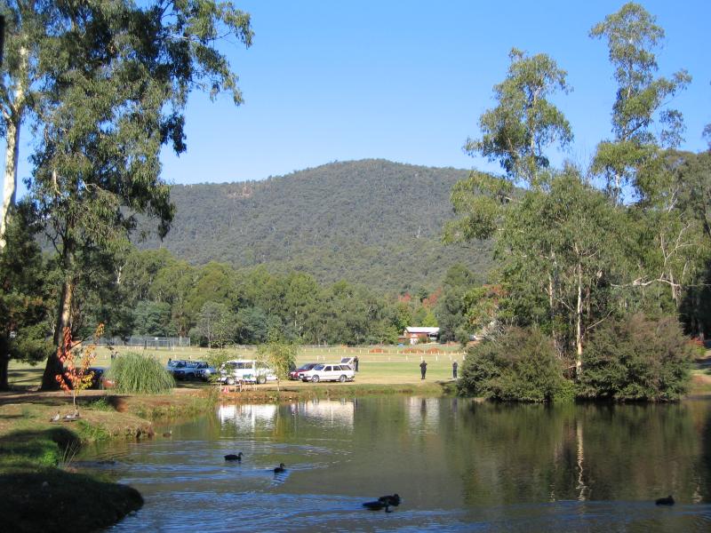 (before the fires) Gallipoli Park, Murchison Street - View across lake towards sports oval
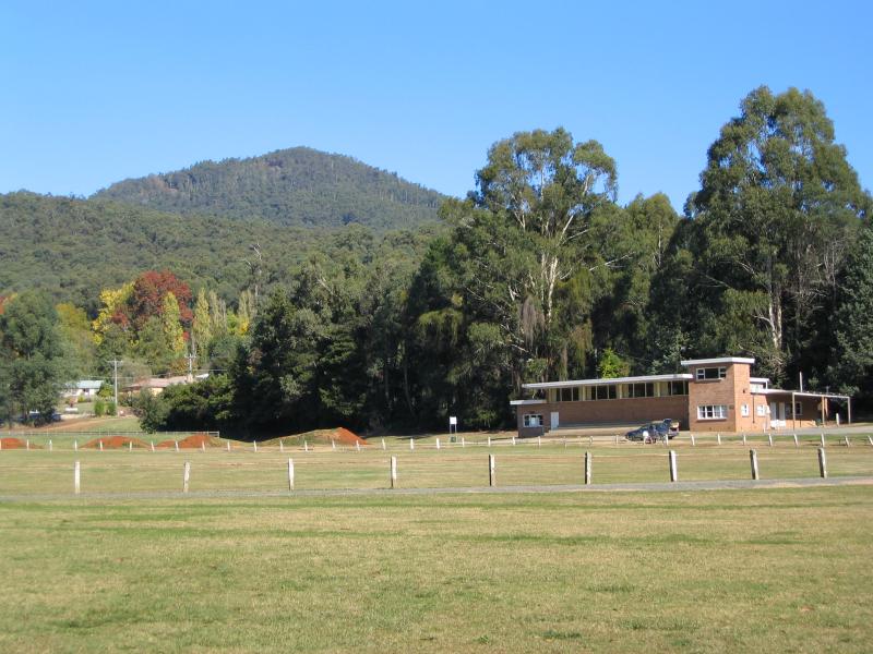 (before the fires) Gallipoli Park, Murchison Street - Sports oval
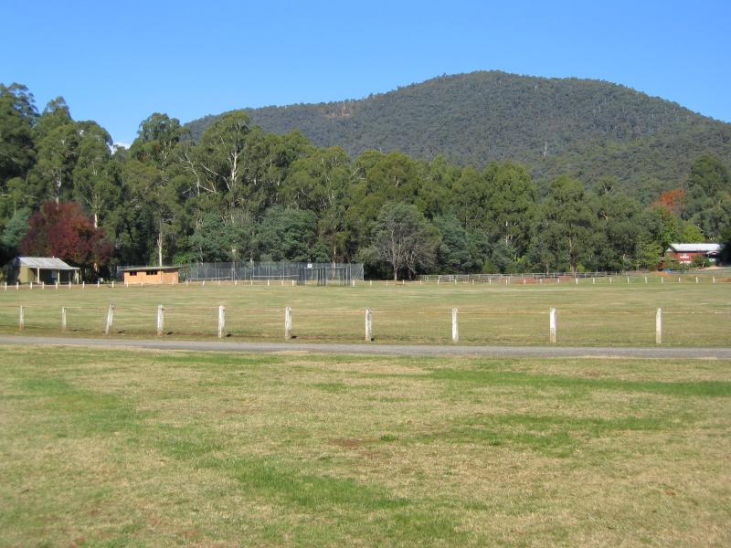 (before the fires) Gallipoli Park, Murchison Street - Sports oval
 (before the fires) Around Marysville - Information shelter, Murchison St near Old Melbourne Rd
 (before the fires) Around Marysville - View east along Murchison St near Old Melbourne Rd
 (before the fires) Around Marysville - View east along Kings Rd at Sheehan Lookout
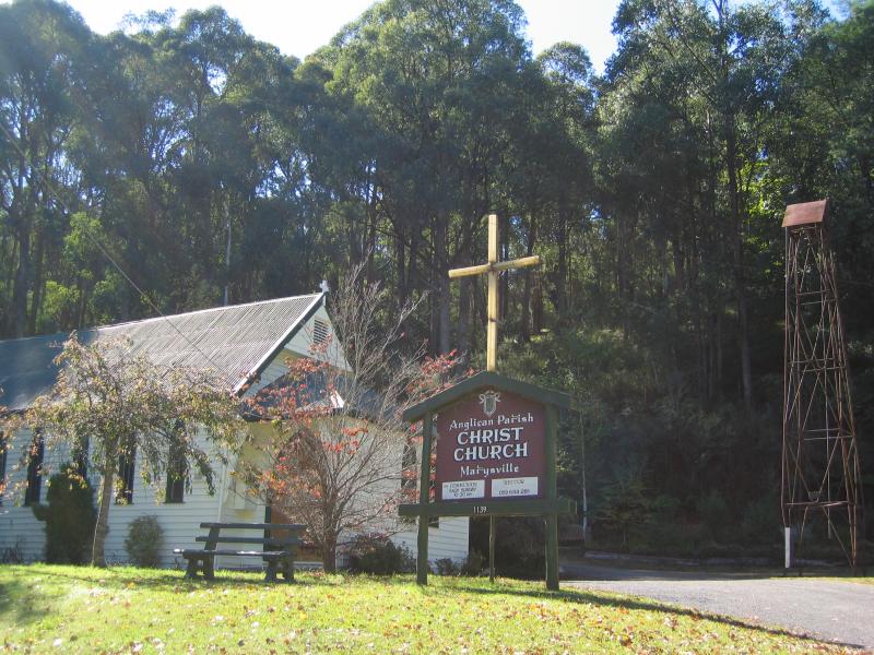 (before the fires) Around Marysville - Christ Church, corner Marysville Rd and Woods Point Rd
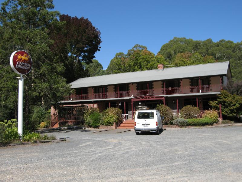
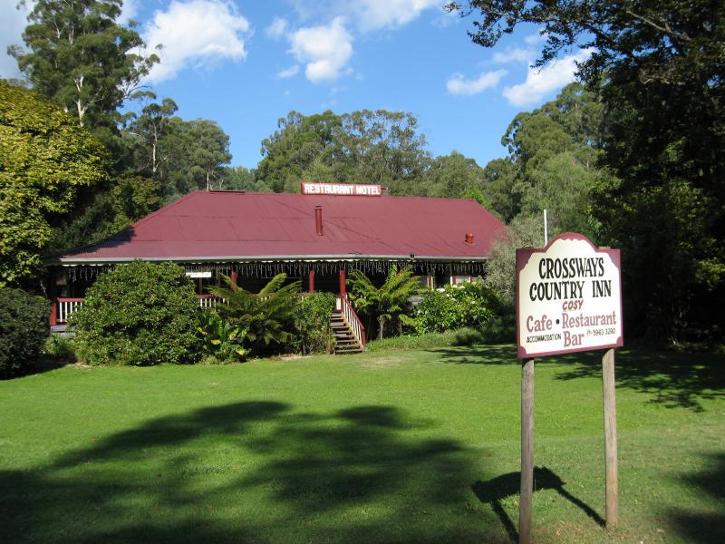 (before the fires) Around Marysville - Crossways Country Inn, corner Marysville Rd and Woods Point Rd
 (before the fires) Around Marysville - View south-east along Falls Rd at Pack Rd
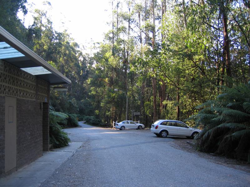 (before the fires) Steavenson Falls, Falls Road - Car park
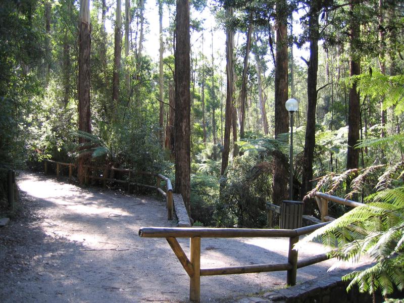
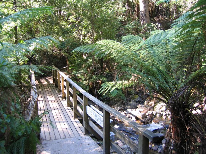
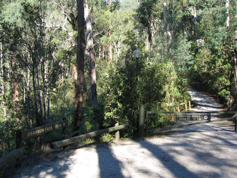 (before the fires) Steavenson Falls, Falls Road - Walking track to falls from car park
 (before the fires) Steavenson Falls, Falls Road - Along path to falls
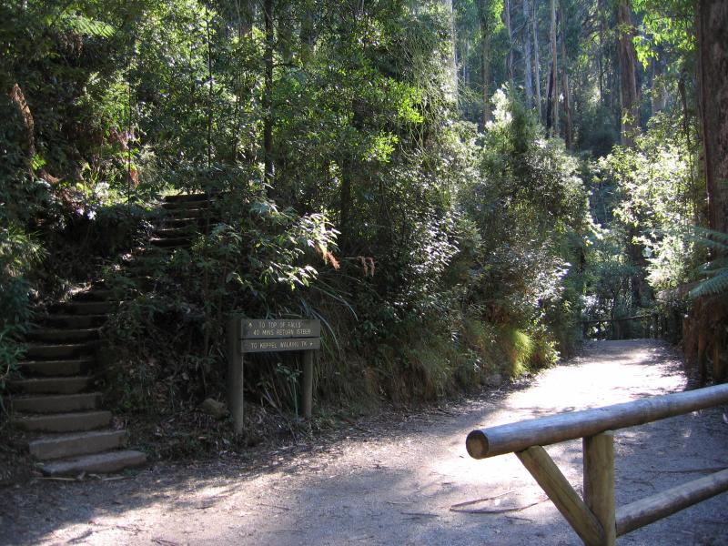 (before the fires) Steavenson Falls, Falls Road - Steps to top of falls
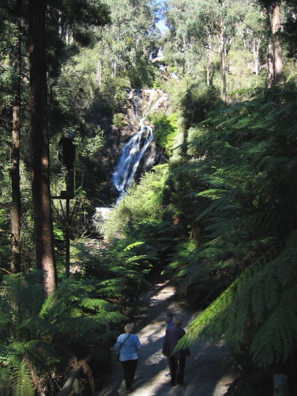 (before the fires) Steavenson Falls, Falls Road - View towards falls from walking track
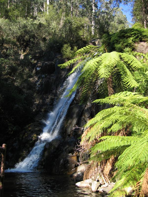 (before the fires) Steavenson Falls, Falls Road - Steavenson Falls
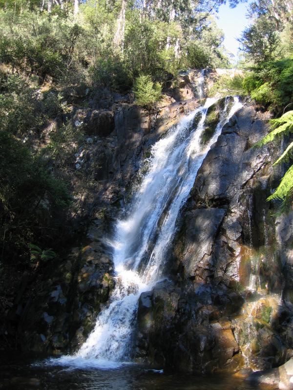 (before the fires) Steavenson Falls, Falls Road - Steavenson Falls
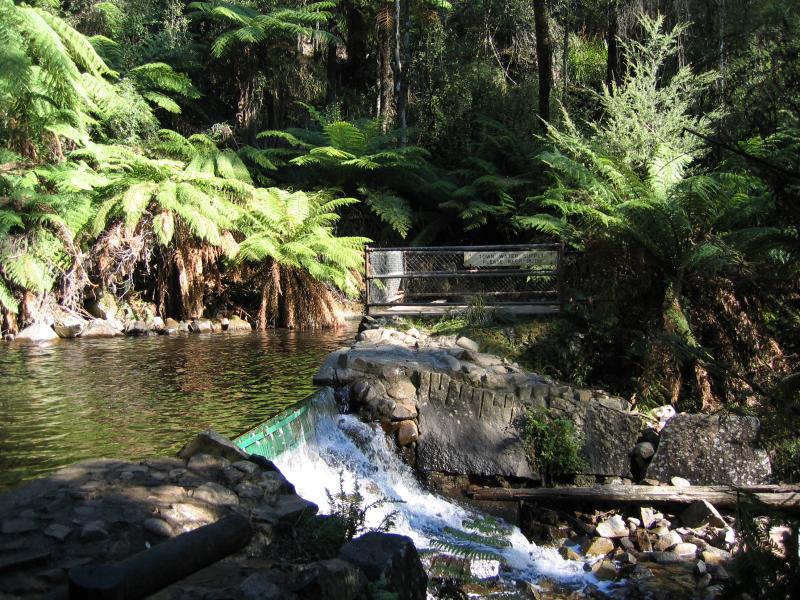 (before the fires) Steavenson Falls, Falls Road - Steavenson River at the falls
 (before the fires) Steavenson Falls, Falls Road - Bridge across Steavenson River at the falls
 Paradise Plains Road - View along road
 Paradise Plains Road - Westerly view from road
 Paradise Plains Road - Westerly view from road
 Paradise Plains Road - Westerly view from road
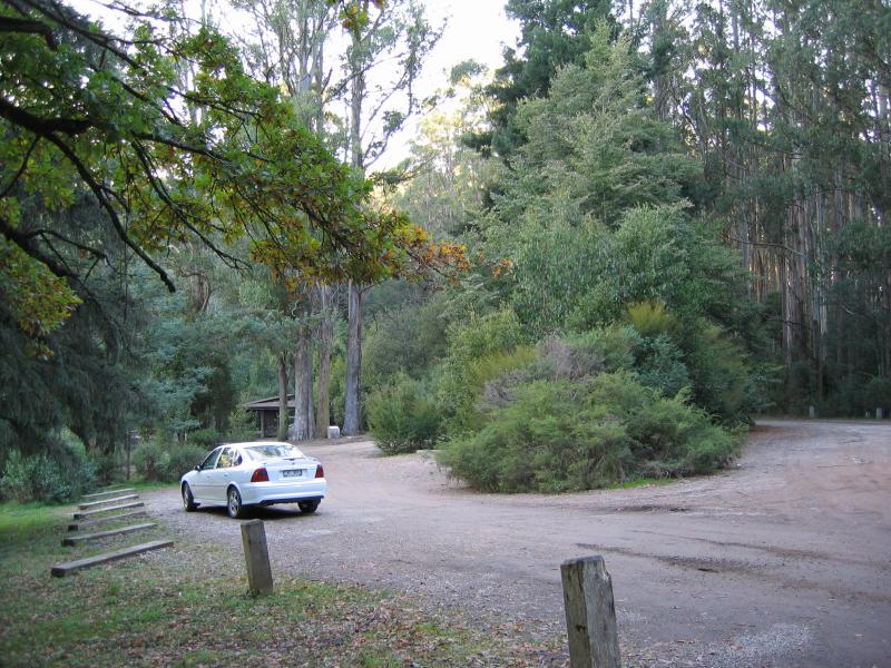
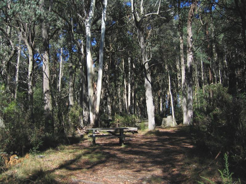 Keppels Lookout, Paradise Plains Road - Picnic area at lookout
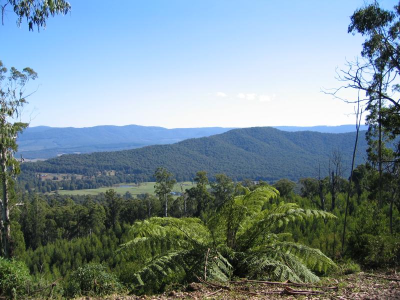
 Keppels Lookout, Paradise Plains Road - North-west view
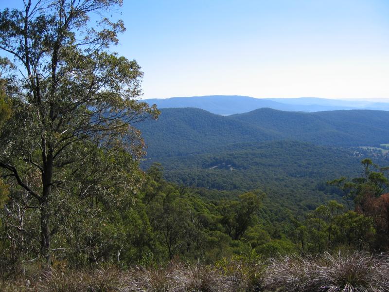
 Keppels Lookout, Paradise Plains Road - Northerly view
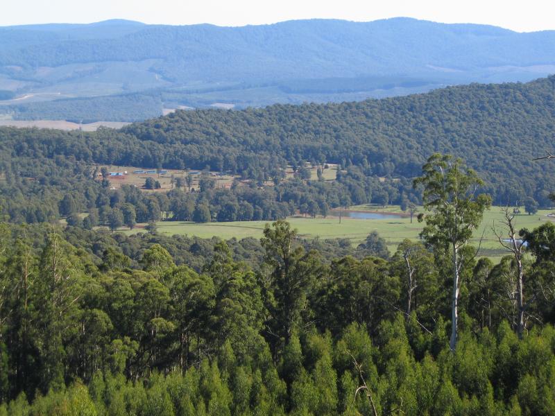
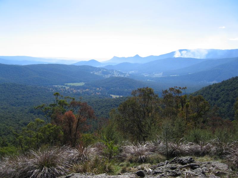
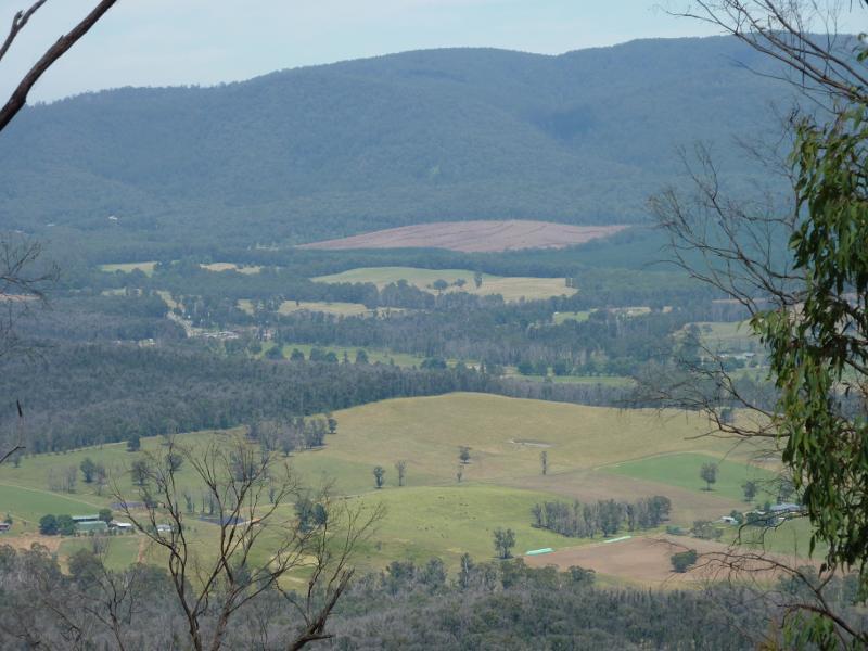
 Keppels Lookout, Paradise Plains Road - Northerly view towards Marysville
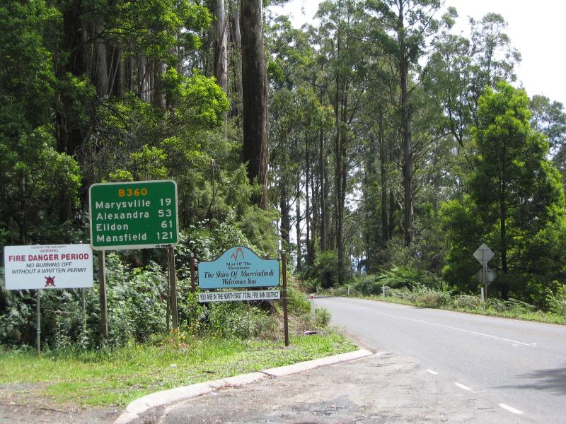
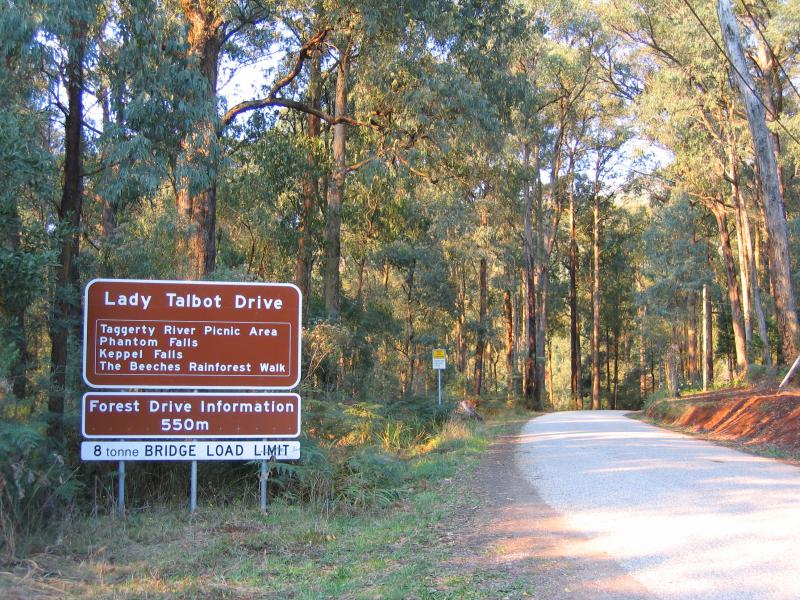 Lady Talbot Drive - View along Lady Talbot Drive at Woods Point Rd
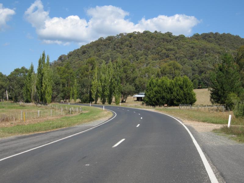 Marysville Road between Marysville and Buxton - View south along Marysville Rd, 6 kilometres north of Marysville
 Marysville Road between Marysville and Buxton - View east, 6 kilometres north of Marysville
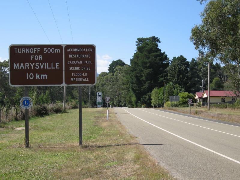
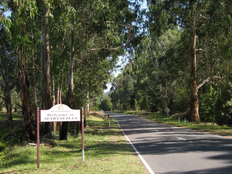 Marysville Road between Marysville and Buxton - Marysville town sign, 2 kilometres north of Marysville
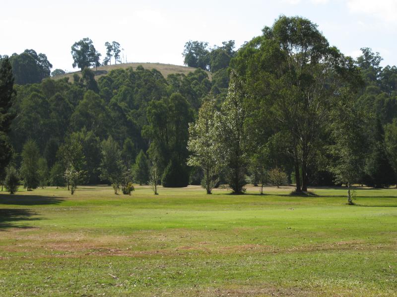 Marysville Road between Marysville and Buxton - View through golf course
 Town of Buxton - View east, south of Buxton
 Town of Buxton - Southerly view, south of Buxton
 Town of Buxton - View south along Maroondah Hwy at petrol station
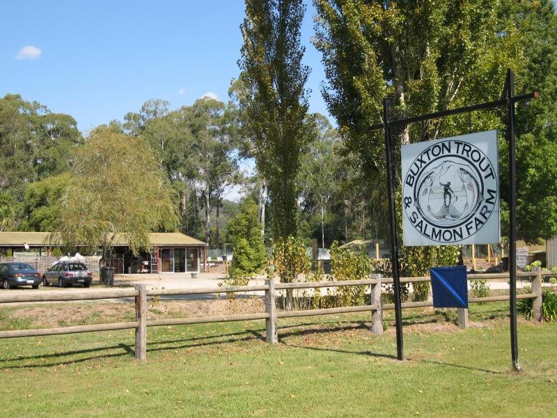 Town of Buxton - Buxton Trout & Salmon Farm
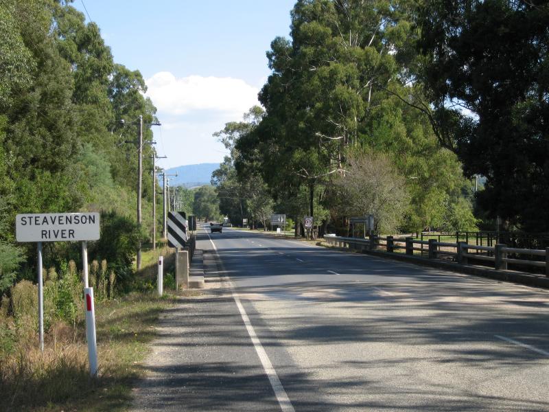 Town of Buxton - View south-west along Maroondah Hwy at Steavenson River
 Town of Buxton - View north-west along Steavenson River from Maroondah Hwy bridge
 Town of Buxton - Rotunda in park beside Steavenson River
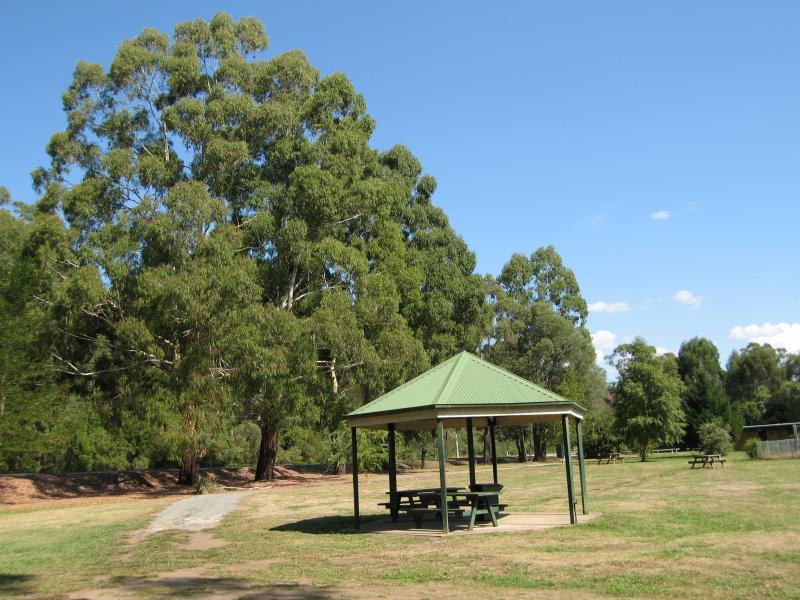
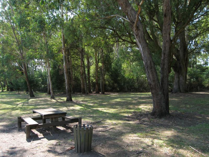 Town of Buxton - Picnic area at park beside Steavenson River
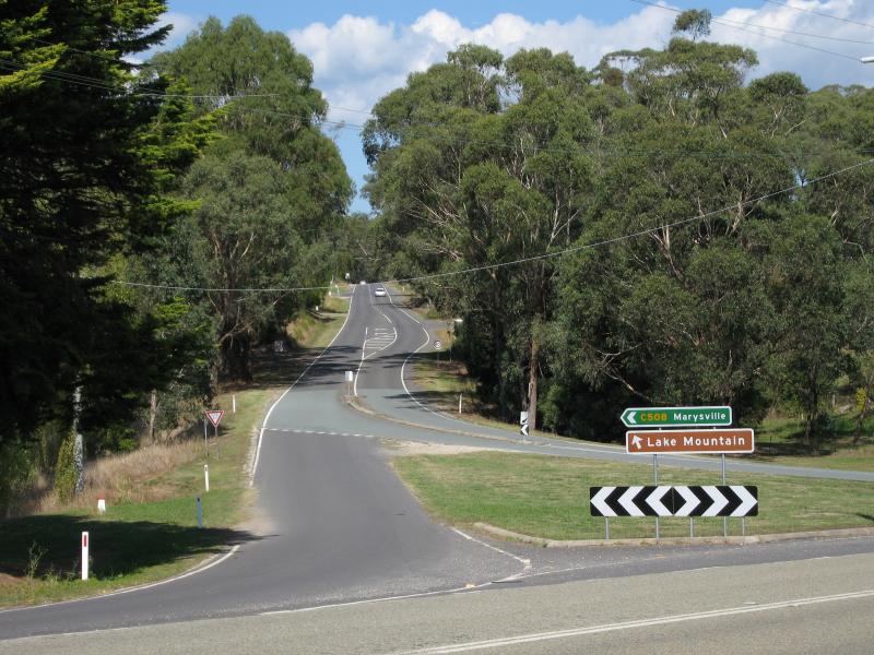 Town of Buxton - View south-east along Marysville Rd at Maroondah Hwy
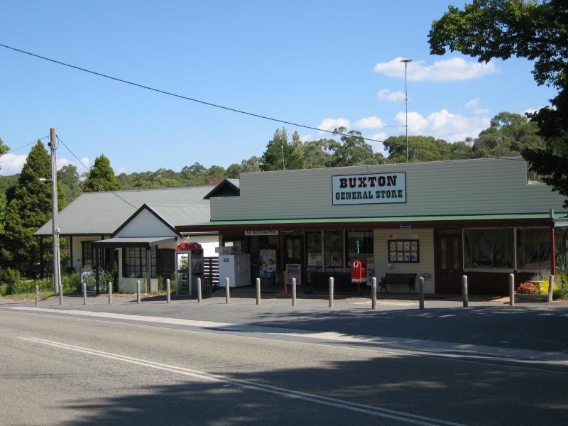 Town of Buxton - Buxton General Store
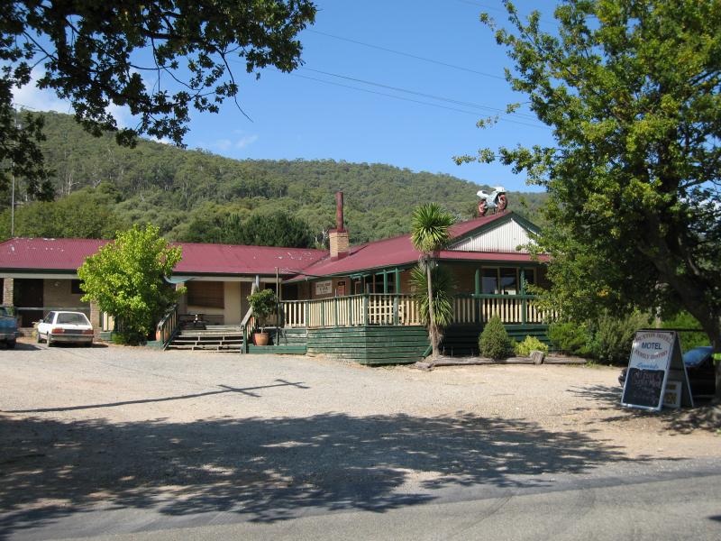 Town of Buxton - Buxton Hotel
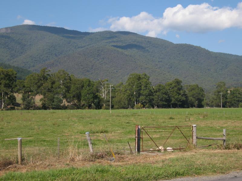
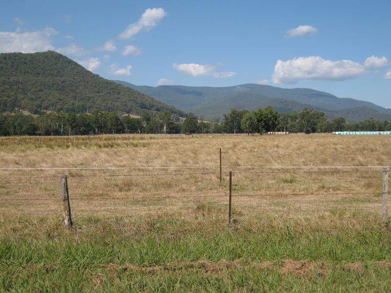
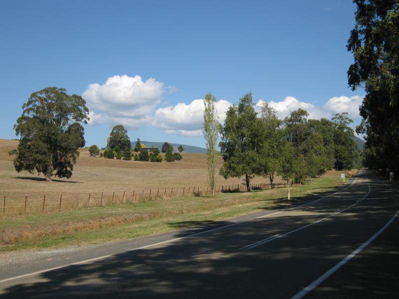
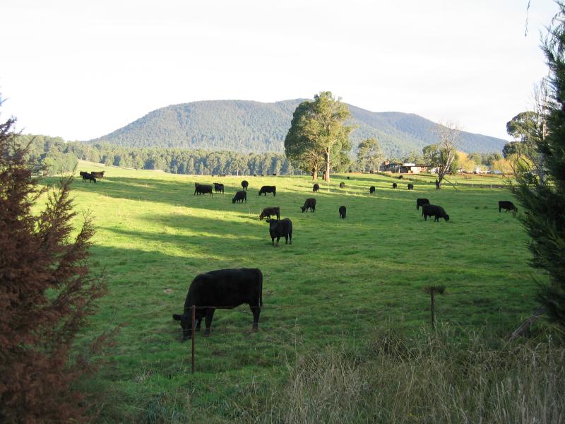 Marysville Road between Marysville and Narbethong - Grazing cows
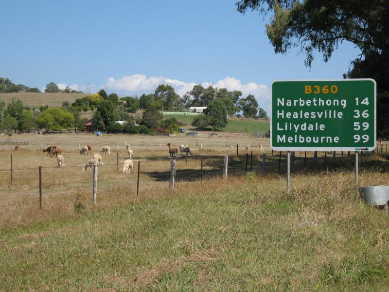
 Marysville Road between Marysville and Narbethong - View from top of Mount Gordon Road
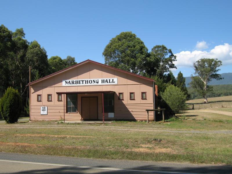 Town of Narbethong - Narbethong Hall
 Town of Narbethong - View south along Maroondah Hwy
 Town of Narbethong - View north-east along Maroondah Hwy towards Marysville Rd
 Maroondah Highway south of Narbethong - Black Spur Inn
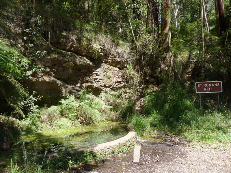 Maroondah Highway south of Narbethong - St Ronans Well
 Maroondah Highway south of Narbethong - View north along Maroondah Hwy just north of Dom Dom Picnic Ground
 Maroondah Highway south of Narbethong - Dom Dom Picnic Ground
 Maroondah Highway south of Narbethong - View south along Maroondah Hwy just south of Dom Dom Picnic Ground
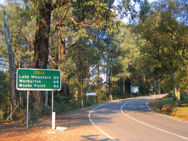 Woods Point Road - View south east along Woods Point Rd at Lady Talbot Dr
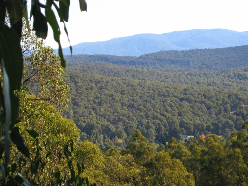
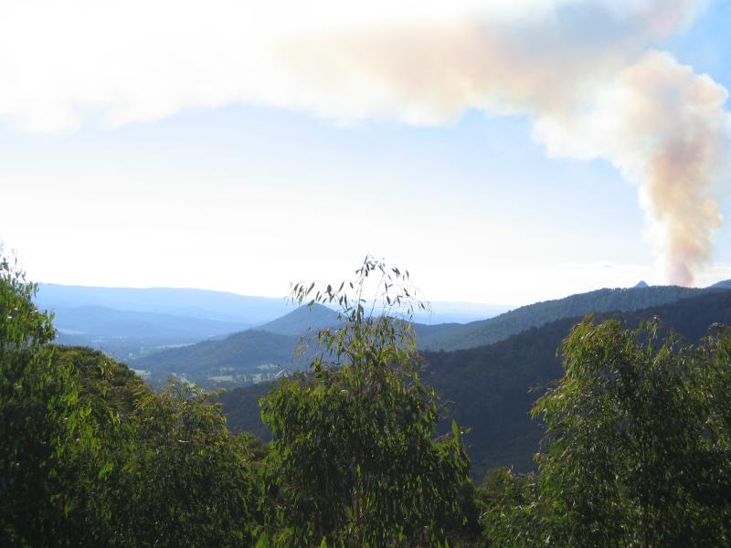
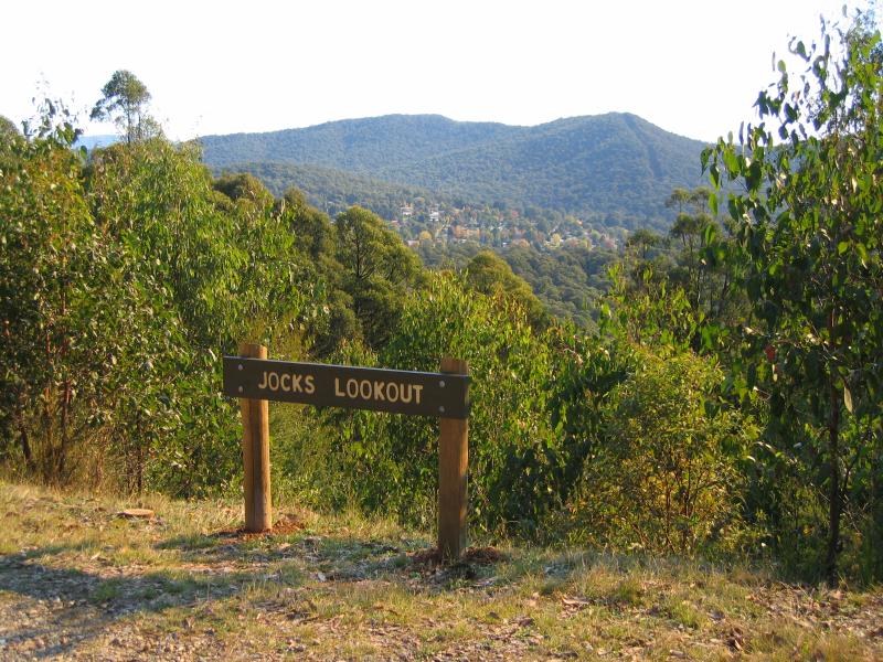 Woods Point Road - Jocks lookout
 Woods Point Road - Jocks lookout
 Woods Point Road - Robley Spur lookout
 Woods Point Road - Nichol lookout
 Woods Point Road - Nichol lookout
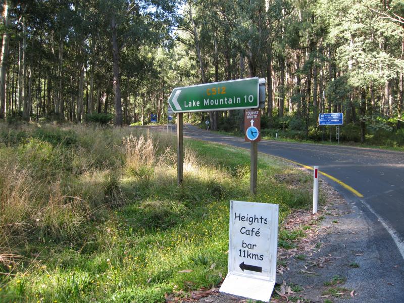 Lake Mountain Road - Lake Mountain Rd at Woods Point Rd
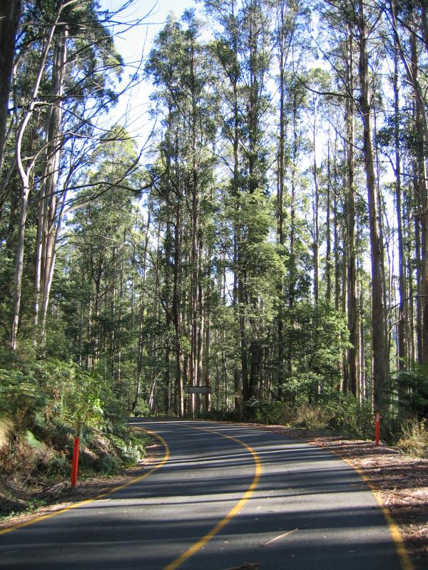 Lake Mountain Road - View south along Lake Mountain Rd
 Lake Mountain Road - View north along Lake Mountain Rd towards Cascades day visitor area
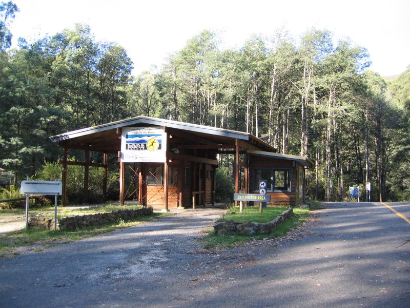 Lake Mountain Road - Resort ticket office at Cascades day visitor area
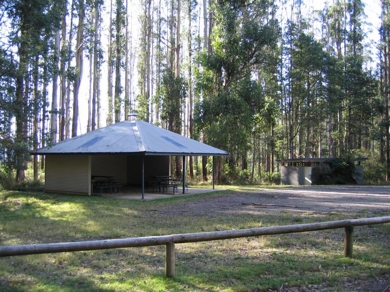 Lake Mountain Road - Cascades day visitor area
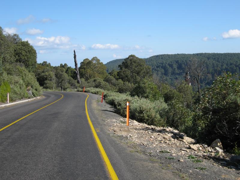
 Lake Mountain Road - Near Arnold Gap
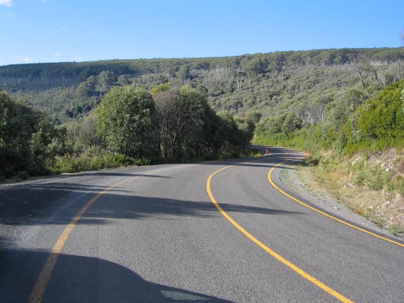
 Lake Mountain Road - Near Snowy Hill
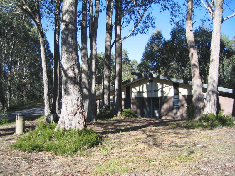 Lake Mountain Road - Snowy Hill shelter
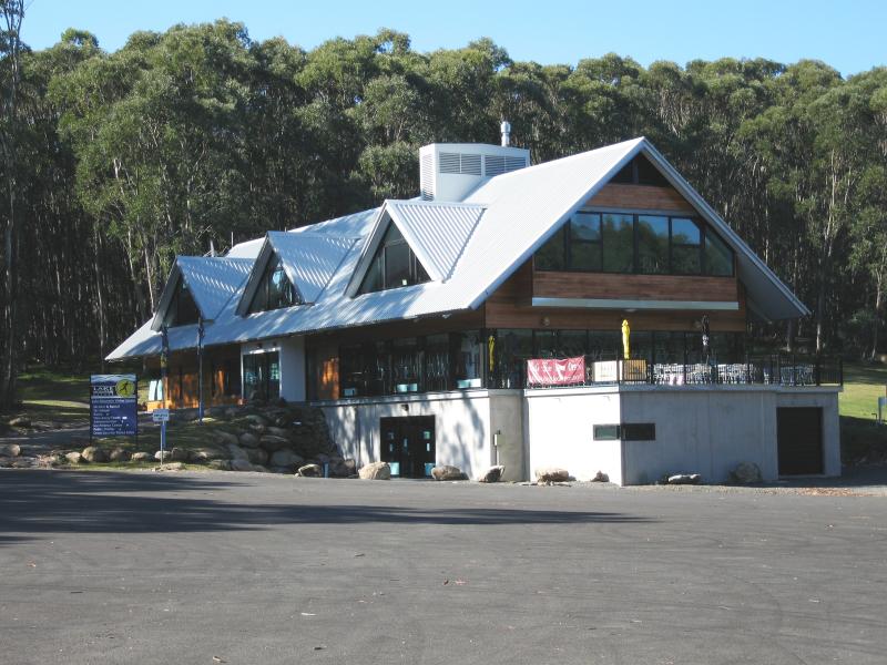 Lake Mountain alpine resort - Lake Mountain Visitor Centre
 Lake Mountain alpine resort - Grassy area next to visitor centre
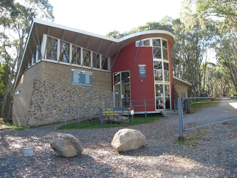 Lake Mountain alpine resort - Toilets, shelter and changing rooms
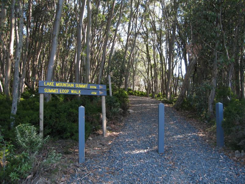 Lake Mountain alpine resort - Start of summit loop walk at visitor centre car park
 Lake Mountain alpine resort - Path to Marysville lookout
 Lake Mountain alpine resort - At Marysville lookout
 Lake Mountain alpine resort - View at Marysville lookout
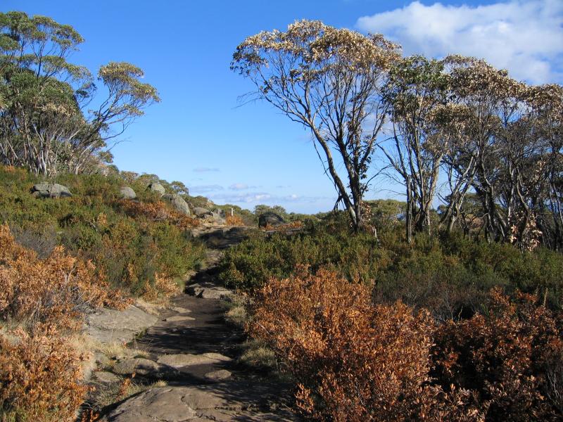
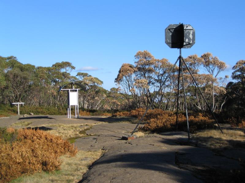 Lake Mountain alpine resort - At summit of Lake Mountain
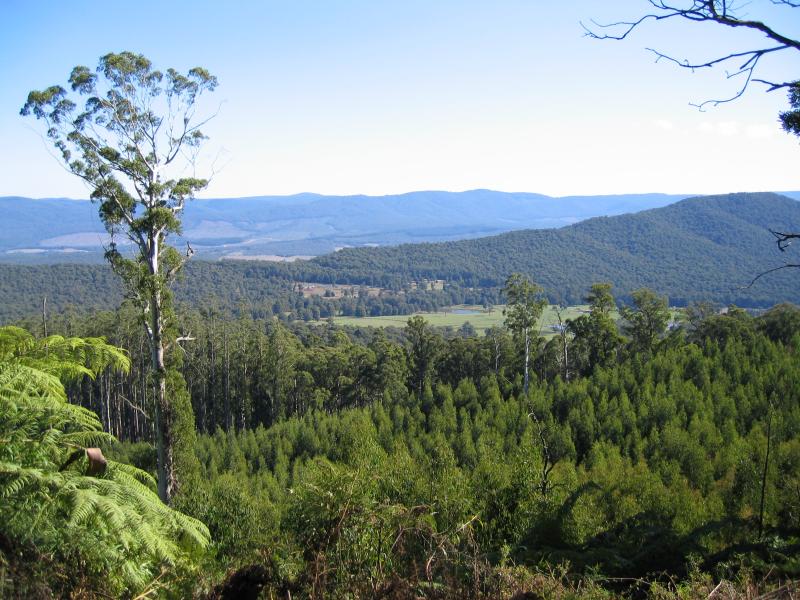
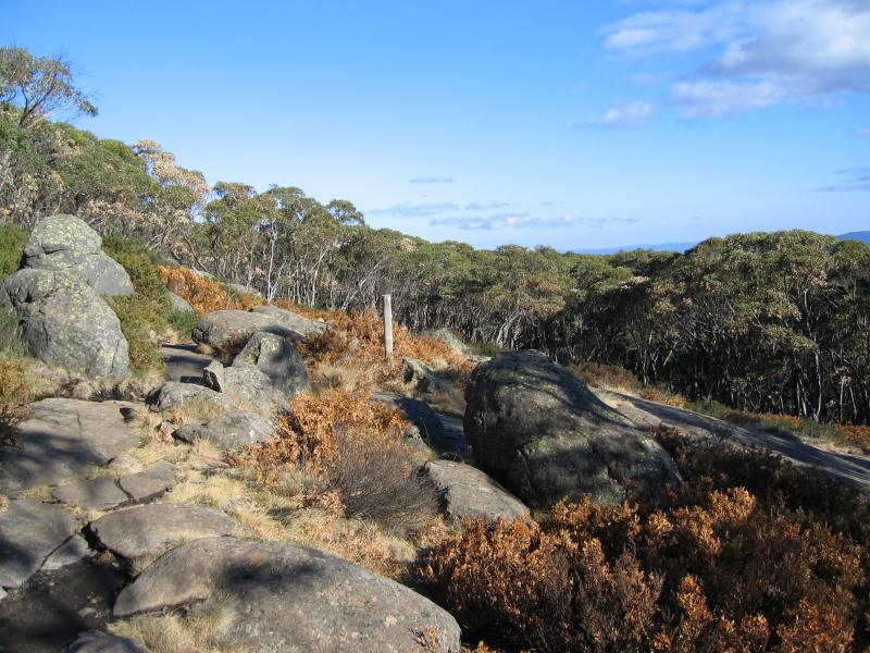
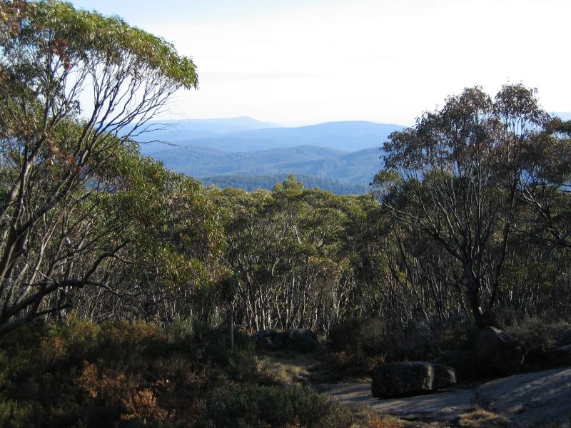 Lake Mountain alpine resort - View from summit
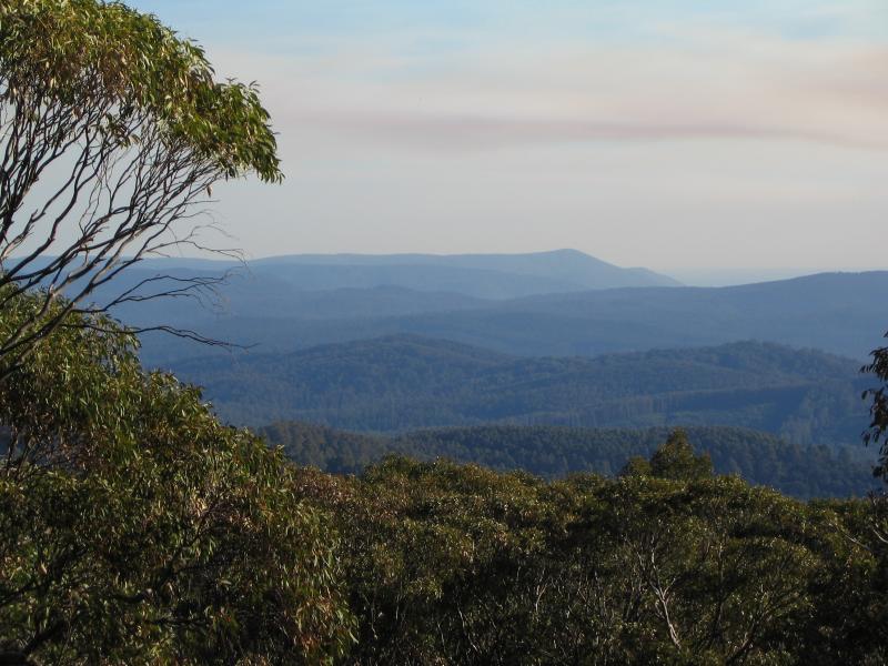 Lake Mountain alpine resort - View from summit
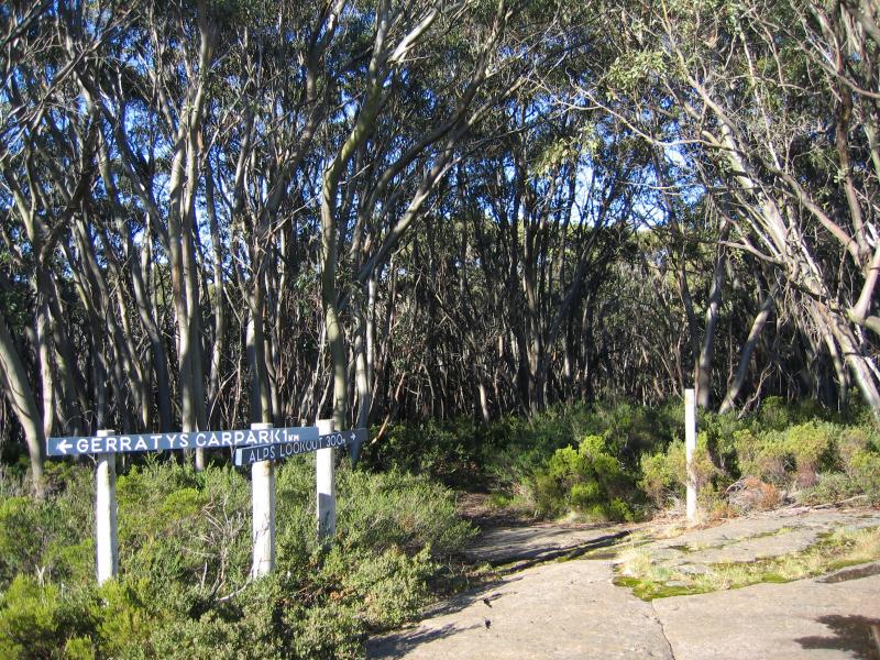 Lake Mountain alpine resort - Walking track to Alps lookout at summit
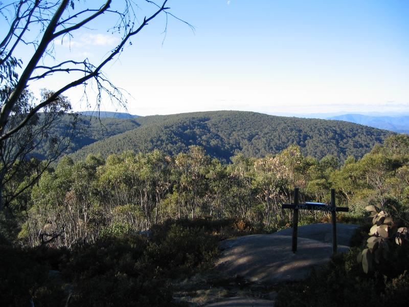 Lake Mountain alpine resort - Alps lookout
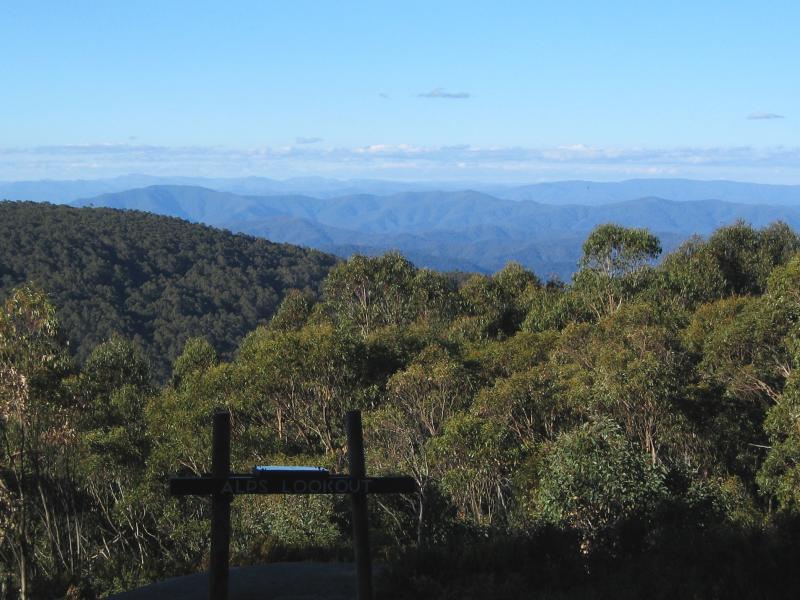 Lake Mountain alpine resort - Alps lookout