Mount Beauty - public transport
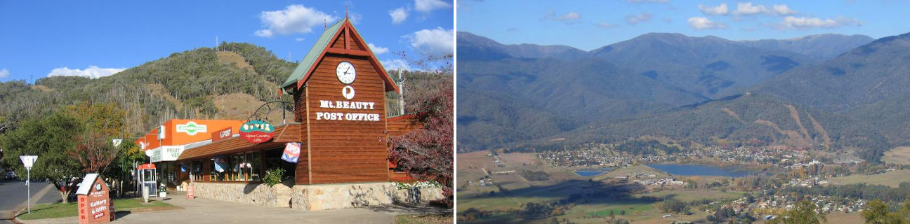
Mount Beauty
Stay
See and do
Food and drink
Shopping
Getting around
Visitor information
Train
Wodonga station
(85 km away)
| Line | Operator | Timetable and stops | Map |
|---|---|---|---|
| Albury - Wodonga |  |
Albury (NSW) - Melbourne Via Albury (NSW), Wodonga, Chiltern, Springhurst, Wangaratta, Benalla, Violet Town, Euroa, Avenel, Seymour, Broadmeadows, Essendon, North Melbourne, Southern Cross |
Albury (NSW) station
(91 km away)
| Line | Operator | Timetable and stops | Map |
|---|---|---|---|
| Albury - Wodonga | |
Albury (NSW) - Melbourne Via Albury (NSW), Wodonga, Chiltern, Springhurst, Wangaratta, Benalla, Violet Town, Euroa, Avenel, Seymour, Broadmeadows, Essendon, North Melbourne, Southern Cross |
|
| Southern XPT |  |
Melbourne to Sydney Via Southern Cross, Broadmeadows, Seymour, Benalla, Wangaratta, Albury (NSW), Culcairn (NSW), Henty (NSW), The Rock (NSW), Wagga Wagga (NSW), Junee (NSW), Cootamundra(NSW), Harden (NSW), Yass Junction (NSW), Gunning (NSW), Goulburn (NSW), Moss Vale (NSW), Campbelltown (NSW), Sydney (NSW) |
Wangaratta station
(107 km away)
| Line | Operator | Timetable and stops | Map |
|---|---|---|---|
| Albury - Wodonga | |
Albury (NSW) - Melbourne Via Albury (NSW), Wodonga, Chiltern, Springhurst, Wangaratta, Benalla, Violet Town, Euroa, Avenel, Seymour, Broadmeadows, Essendon, North Melbourne, Southern Cross |
|
| Southern XPT | |
Melbourne to Sydney Via Southern Cross, Broadmeadows, Seymour, Benalla, Wangaratta, Albury (NSW), Culcairn (NSW), Henty (NSW), The Rock (NSW), Wagga Wagga (NSW), Junee (NSW), Cootamundra(NSW), Harden (NSW), Yass Junction (NSW), Gunning (NSW), Goulburn (NSW), Moss Vale (NSW), Campbelltown (NSW), Sydney (NSW) |
Bus
| Route | Operator | Timetable | Map |
|---|---|---|---|
| Albury (NSW) to Mount Beauty Via Wodonga, Baranduda, Kiewa, Tangambalanga, Kergunyah, Dederang, Tawonga |
Falls Creek Coach Service | ||
| Melbourne to Falls Creek (snow season only) Via Southern Cross station, Mount Beauty |
Falls Creek Coach Service | ||
| Albury (NSW) to Falls Creek (snow season only) Via Mount Beauty |
Falls Creek Coach Service | ||
| Mount Beauty to Wangaratta Via Bright, Porepunkah, Myrtleford, Beechworth, Everton, Milawa, Oxley, Wangaratta, Wangaratta station |
|
Taxi
| Operator | Areas covered | Phone |
|---|---|---|
| Mount Beauty Taxi | Mount Beauty | 0409 573 909 |