Point Lonsdale - photos
Point Lonsdale
Stay
See and do
Food and drink
Shopping
Getting around
Visitor information
 Commercial centre and shops, Point Lonsdale Road - View south along Pt Lonsdale Rd towards Albert St
 Commercial centre and shops, Point Lonsdale Road - View south along Pt Lonsdale Rd at Kirk Rd
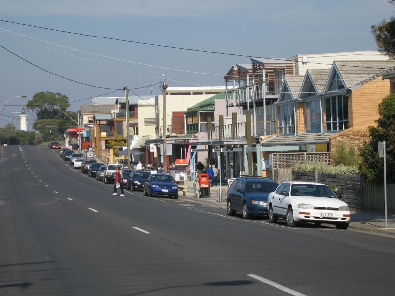
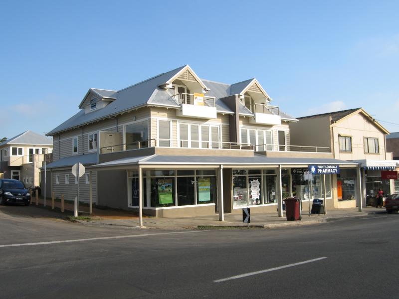
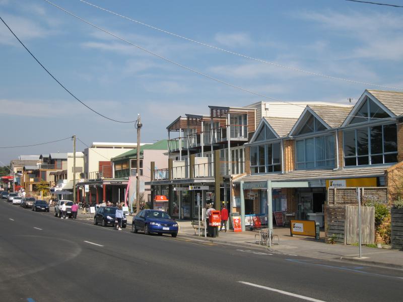 Commercial centre and shops, Point Lonsdale Road - Shops along Pt Lonsdale Rd near Kirk Rd
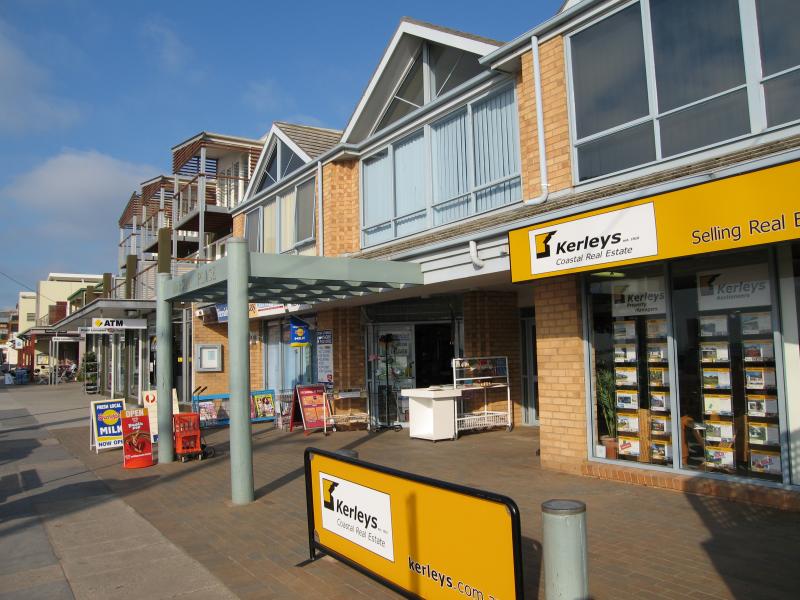 Commercial centre and shops, Point Lonsdale Road - Shops along Pt Lonsdale Rd near Kirk Rd
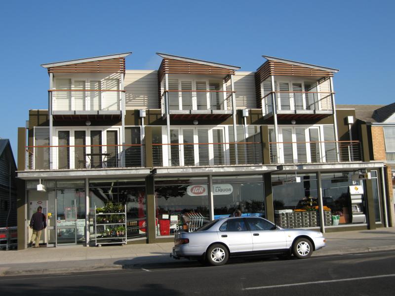 Commercial centre and shops, Point Lonsdale Road - Supermarket, Pt Lonsdale Rd
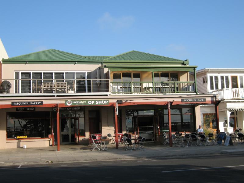 Commercial centre and shops, Point Lonsdale Road - Bakery and cafe, Pt Lonsdale Rd
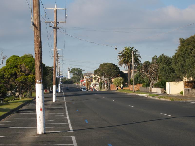
 Commercial centre and shops, Point Lonsdale Road - View south along Pt Lonsdale Rd towards Admans St
 Commercial centre and shops, Point Lonsdale Road - View south along Pt Lonsdale Rd towards Admans St
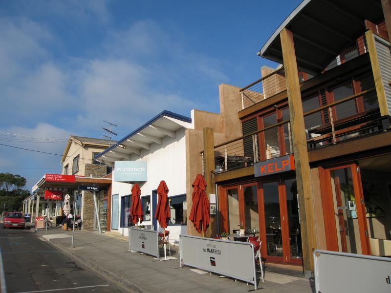 Commercial centre and shops, Point Lonsdale Road - View south along Pt Lonsdale Rd towards Admans St
 Commercial centre and shops, Point Lonsdale Road - Corner of Admans St at Pt Lonsdale Rd
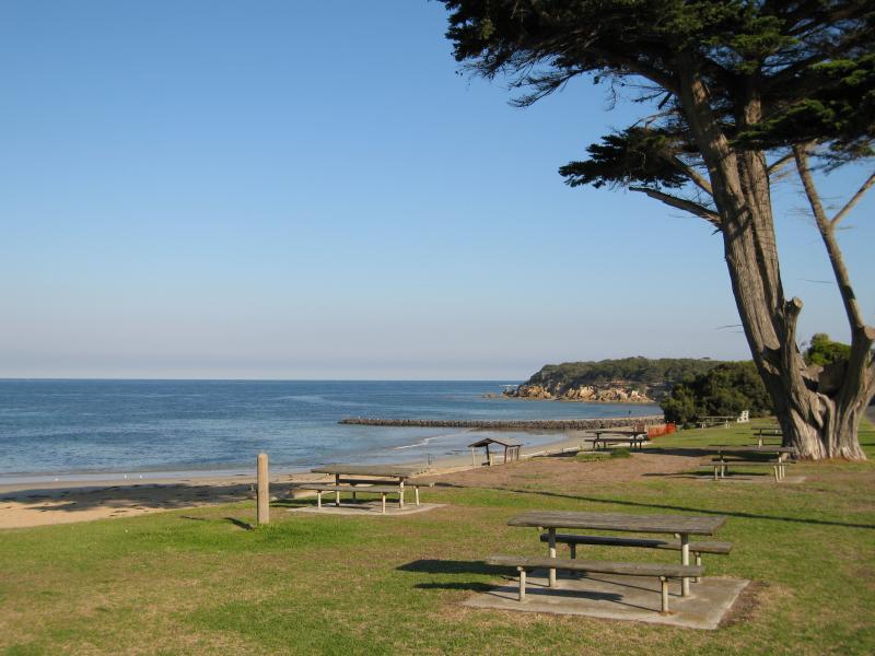
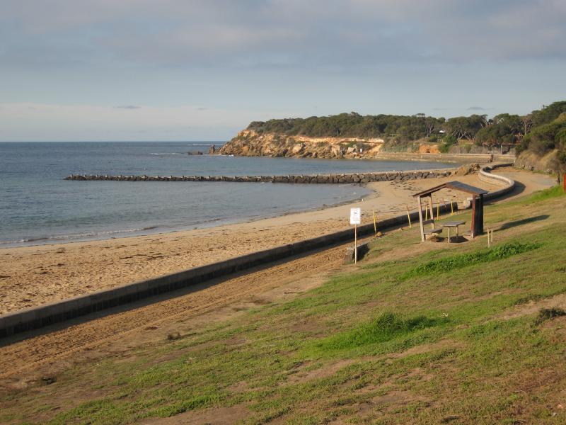
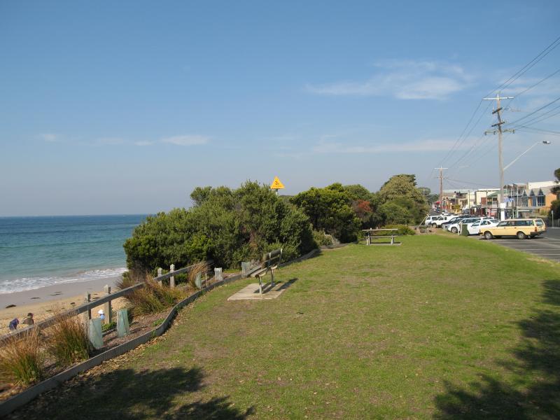
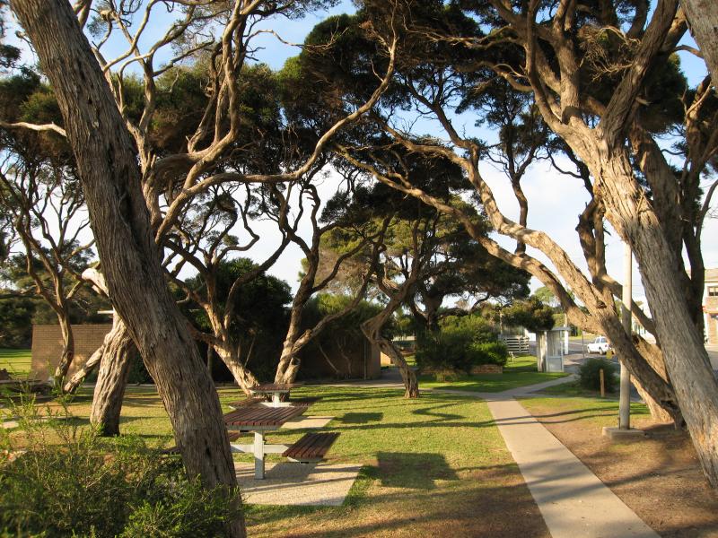 Commercial centre and shops, Point Lonsdale Road - Park and picnic area opposite shops along Pt Lonsdale Rd
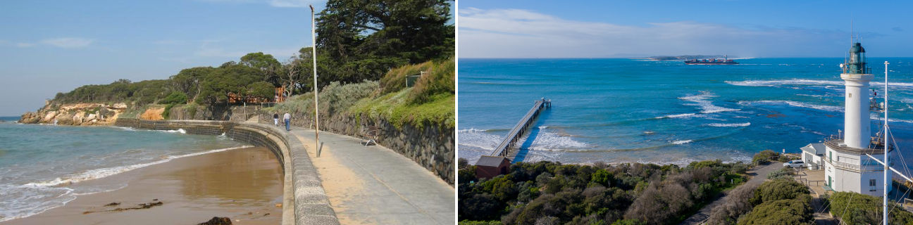
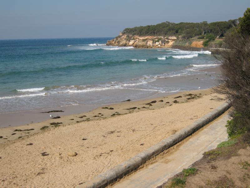
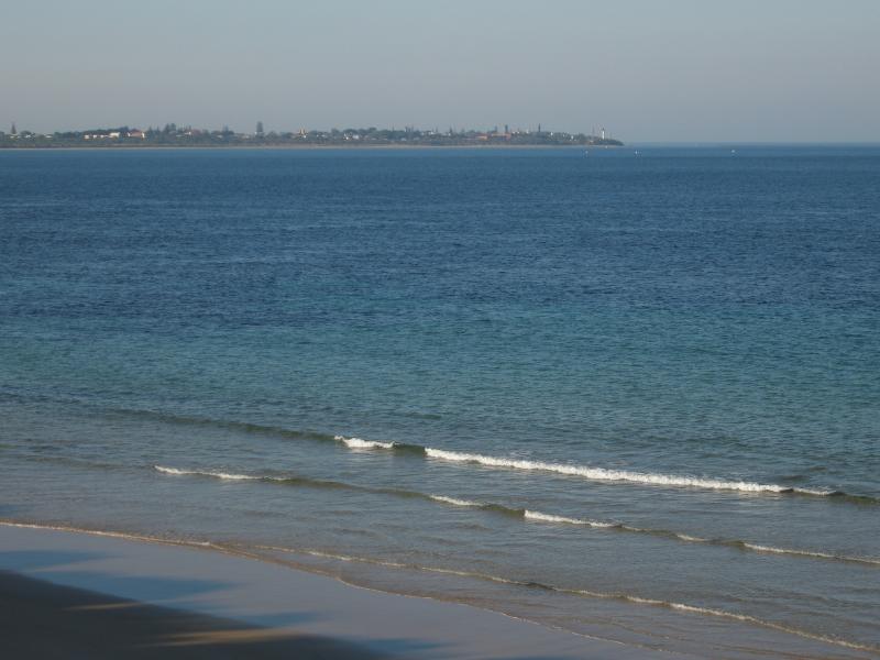
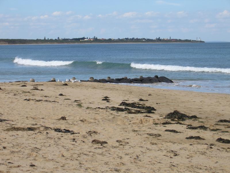 Front Beach along Point Lonsdale Road - View north-east towards Queenscliff from coast opposite Nicholas Ct
 Front Beach along Point Lonsdale Road - View south-east towards groyne and Point Nepean
 Front Beach along Point Lonsdale Road - View out to sea from groyne
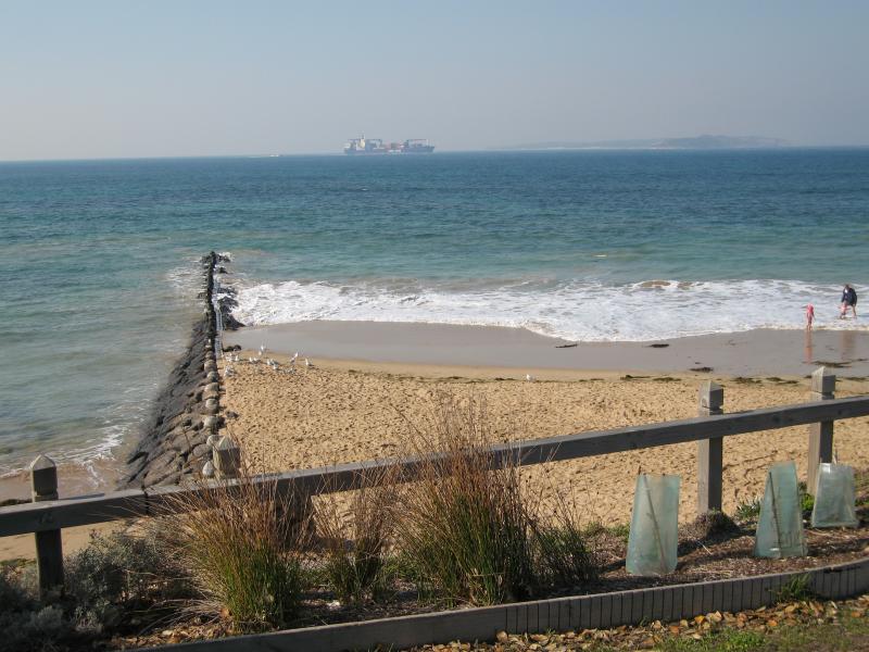
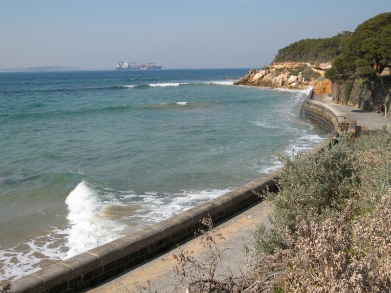
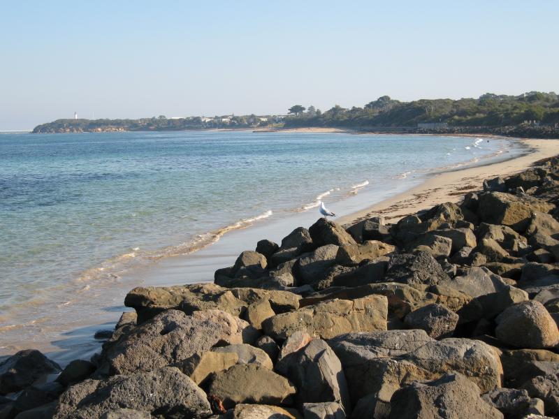
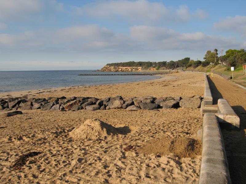 Front Beach along Point Lonsdale Road - View south along Front Beach towards groynes along coast
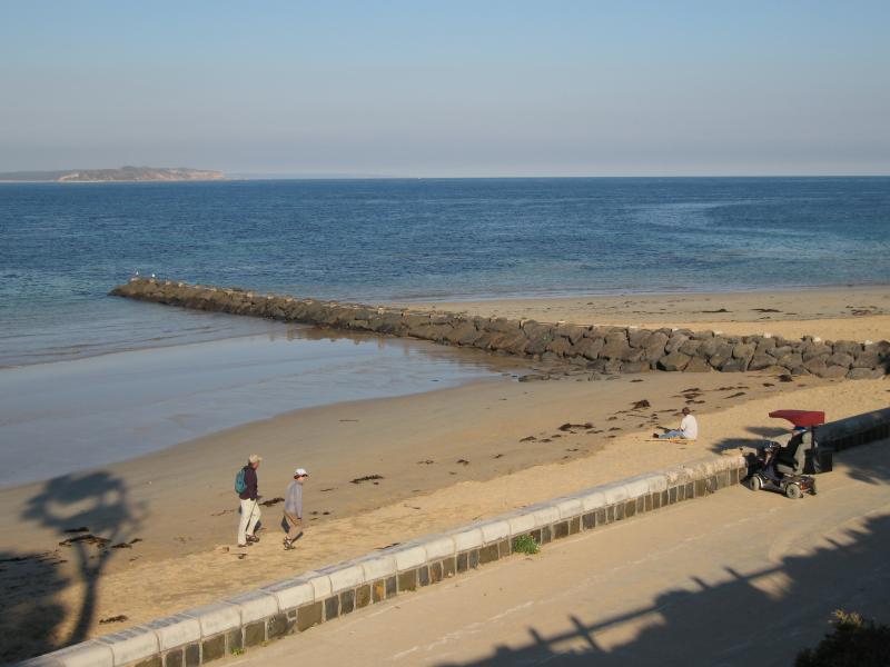
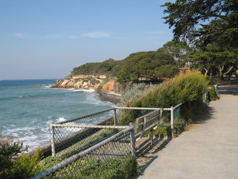
 Front Beach along Point Lonsdale Road - View south along foreshore near Albert St
 Front Beach along Point Lonsdale Road - View south along foreshore near Albert St
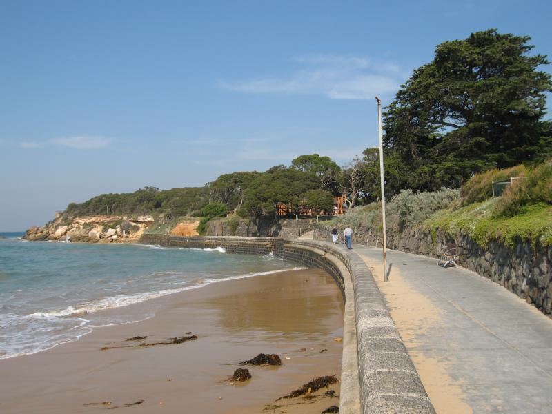
 Front Beach along Point Lonsdale Road - View south along foreshore towards Kirk Rd
 Front Beach along Point Lonsdale Road - View south along beach opposite Kirk Rd
 Front Beach along Point Lonsdale Road - View south along foreshore opposite Kirk Rd
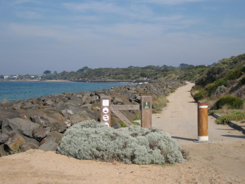
 Front Beach along Point Lonsdale Road - View south along pathway along beach near Kirk Rd
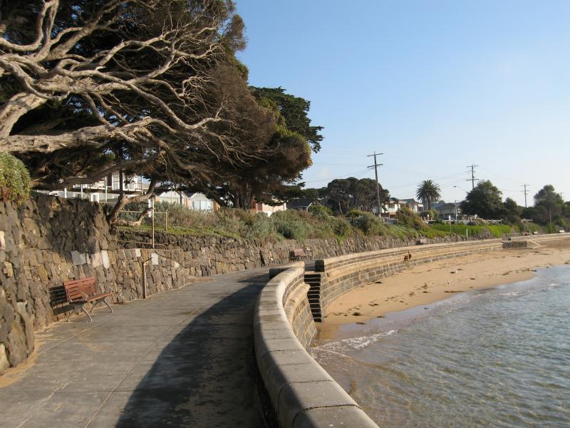 Front Beach along Point Lonsdale Road - View north along pathway along beach opposite shops
 Front Beach along Point Lonsdale Road - View south along coast from foreshore opposite shops
 Front Beach along Point Lonsdale Road - View south along coast from park opposite shops
 Front Beach along Point Lonsdale Road - View south along coast from park opposite shops on Pt Lonsdale Rd
 Rip View Lookout - View from lookout, north along coast towards car park
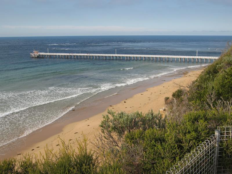 Rip View Lookout - View from lookout, south along coast towards pier
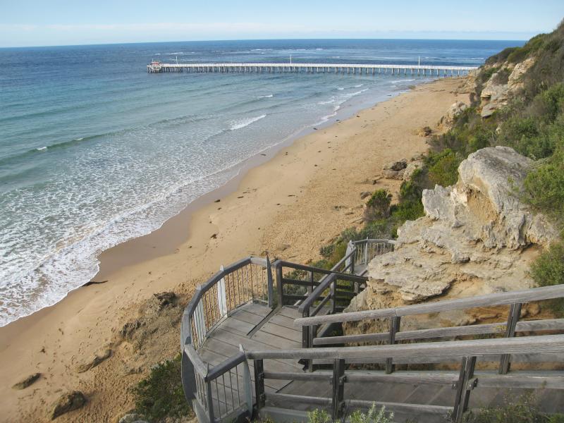 Rip View Lookout - Steps down cliff from car park to beach
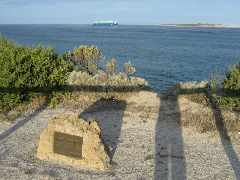 Rip View Lookout - View towards Point Nepean from car park
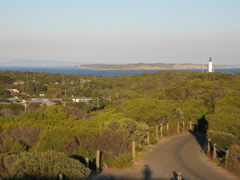
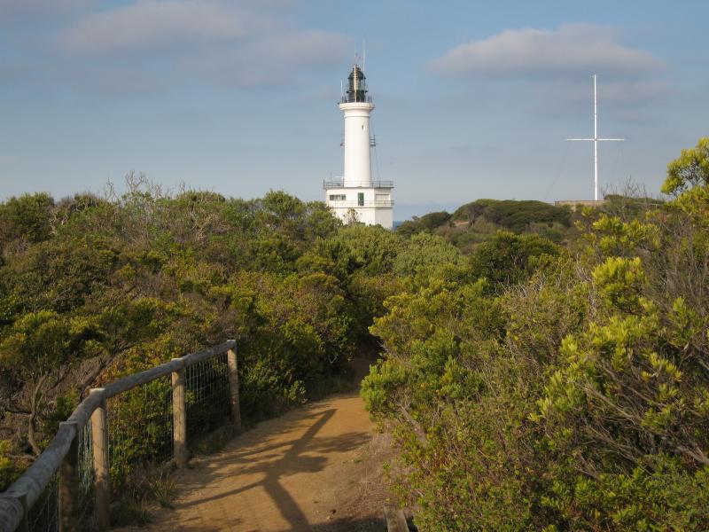 Coastal path from Rip View Lookout to Point Lonsdale Pier - View along path with lighthouse in background
 Coastal path from Rip View Lookout to Point Lonsdale Pier - View north-east across beach towards Queenscliff
 Coastal path from Rip View Lookout to Point Lonsdale Pier - View towards Point Lonsdale Pier
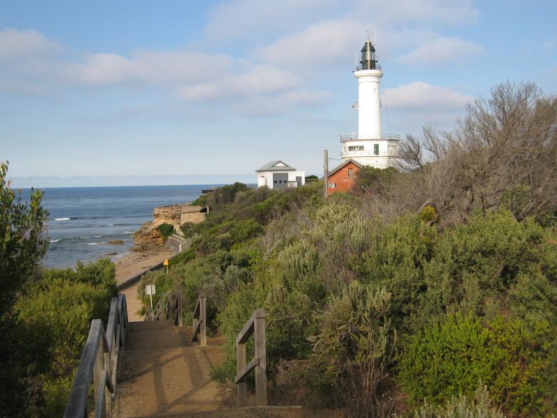 Coastal path from Rip View Lookout to Point Lonsdale Pier - Steps down from path towards pier entrance and lighthouse
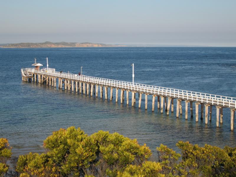
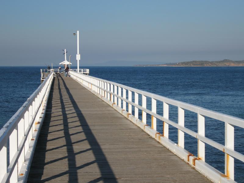
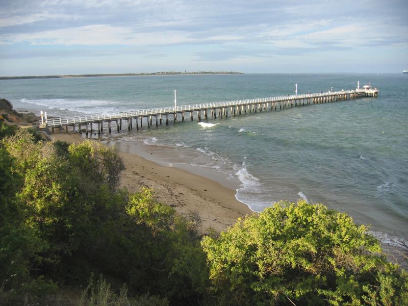
 Point Lonsdale Pier - View along pier towards Point Nepean
 Point Lonsdale Pier - View south along coast towards lighthouse from pier
 Point Lonsdale Pier - View east along pier
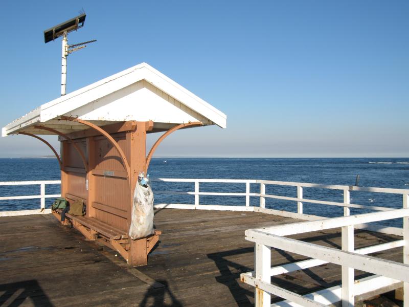 Point Lonsdale Pier - At end of pier
 Point Lonsdale Pier - View towards coast and lighthouse from end of pier
 Point Lonsdale Lighthouse - View towards lighthouse from car park at southern end of Pt Lonsdale Rd
 Point Lonsdale Lighthouse - View from lighthouse east along pier
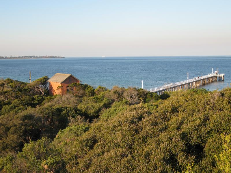
 Point Lonsdale Lighthouse - View from lighthouse north-east towards pier and Queenscliff
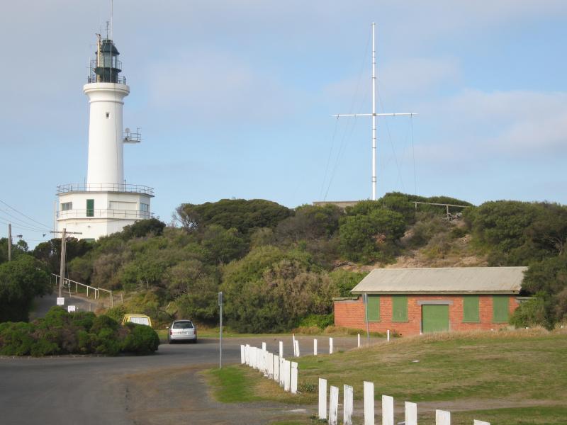
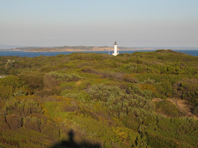
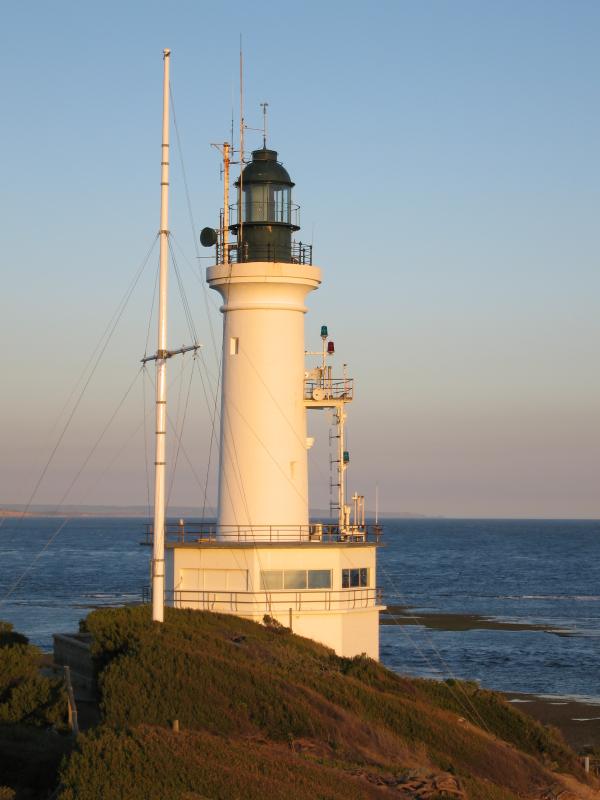 Point Lonsdale Lighthouse - Lighthouse
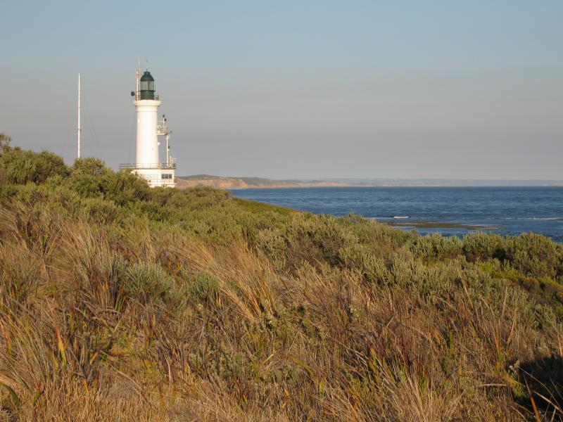
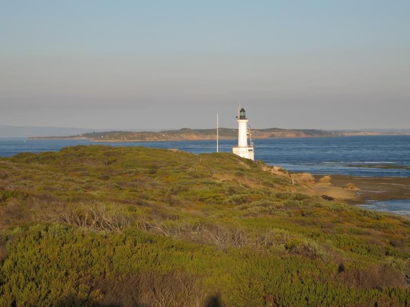
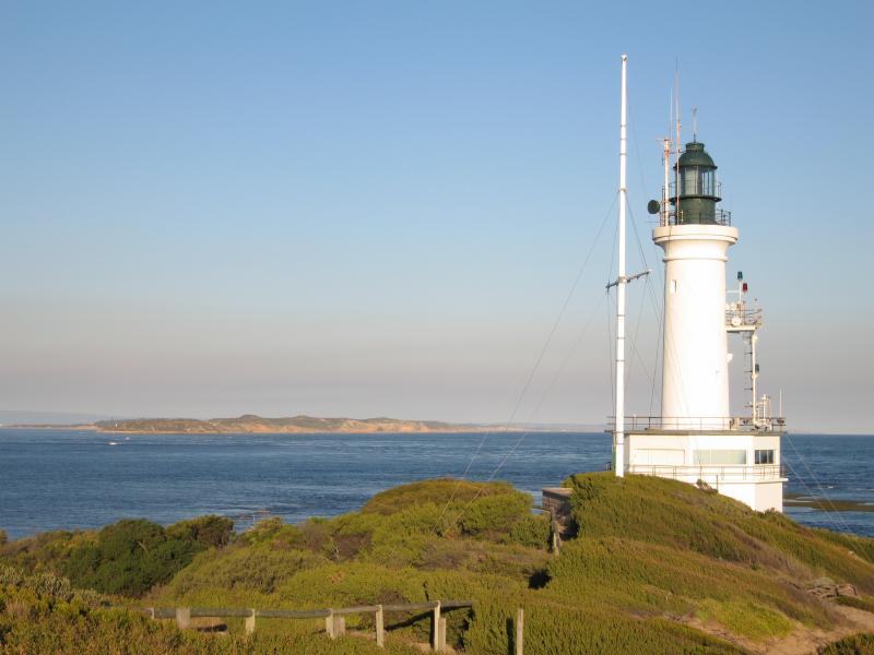 Point Lonsdale Lighthouse - View east towards lighthouse and Point Nepean
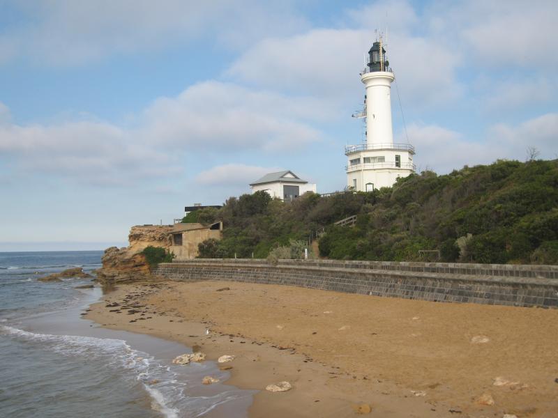
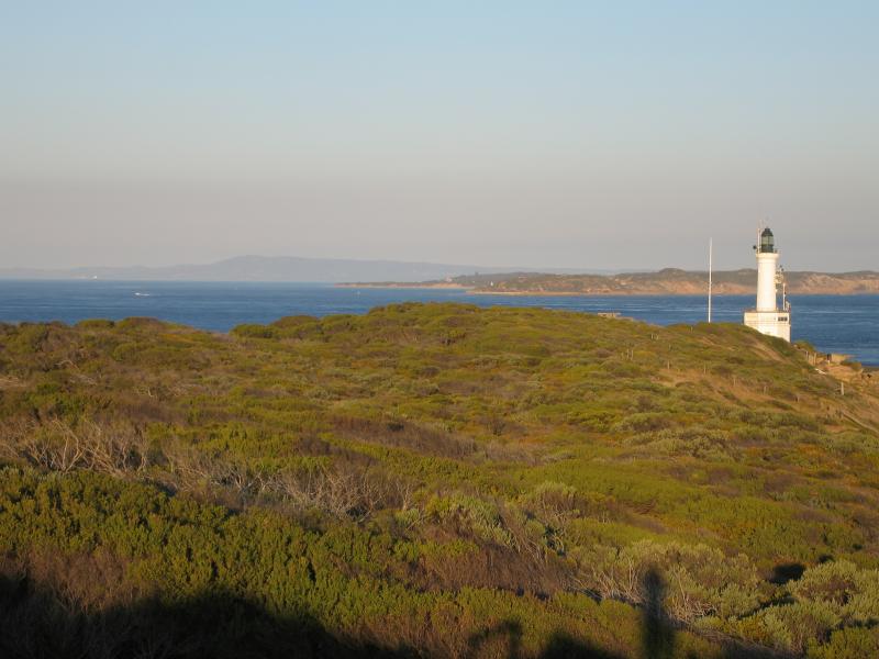
 Point Lonsdale Lighthouse - View east along coast towards lighthouse
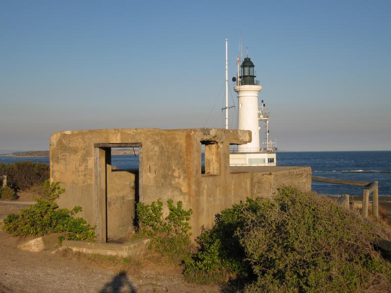 Point Lonsdale Lighthouse - Ruins of military fortifications near lighthouse
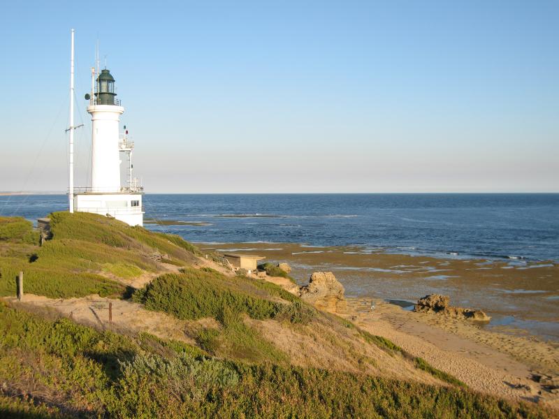
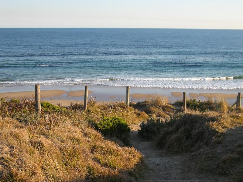
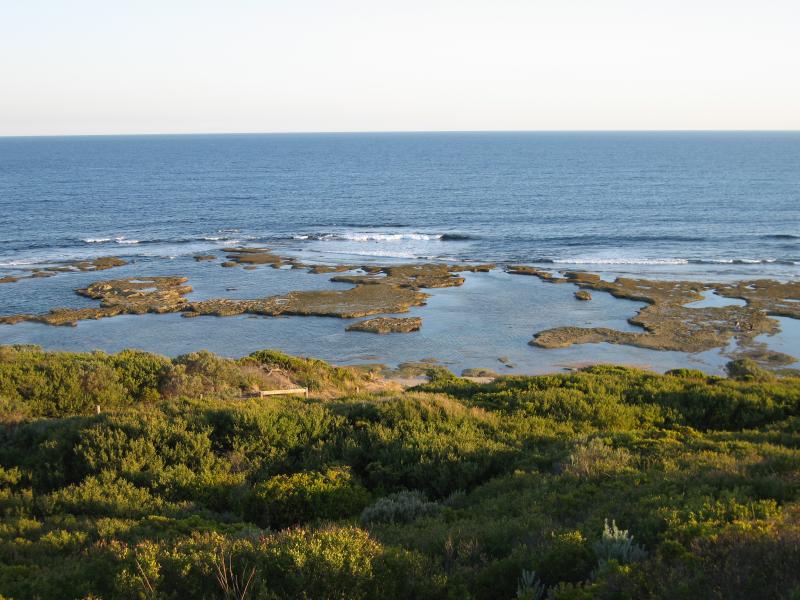
 Point Lonsdale Lighthouse - View west along coast from steps down from lighthouse to beach
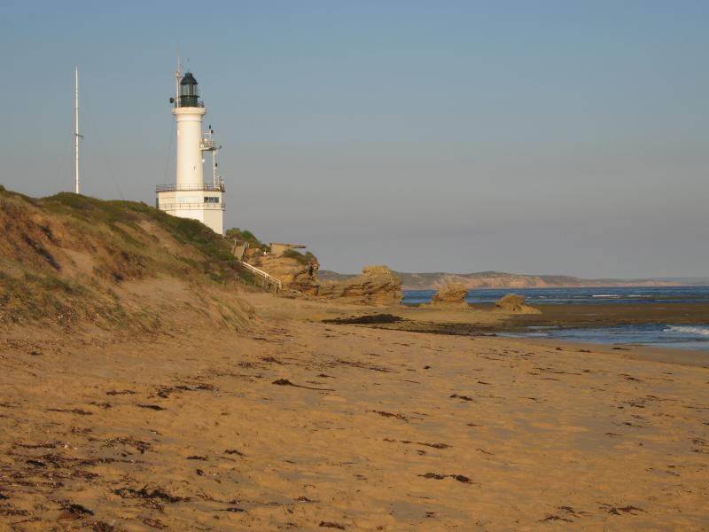
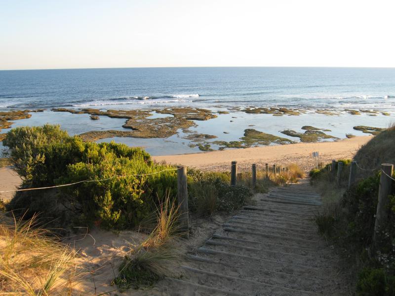
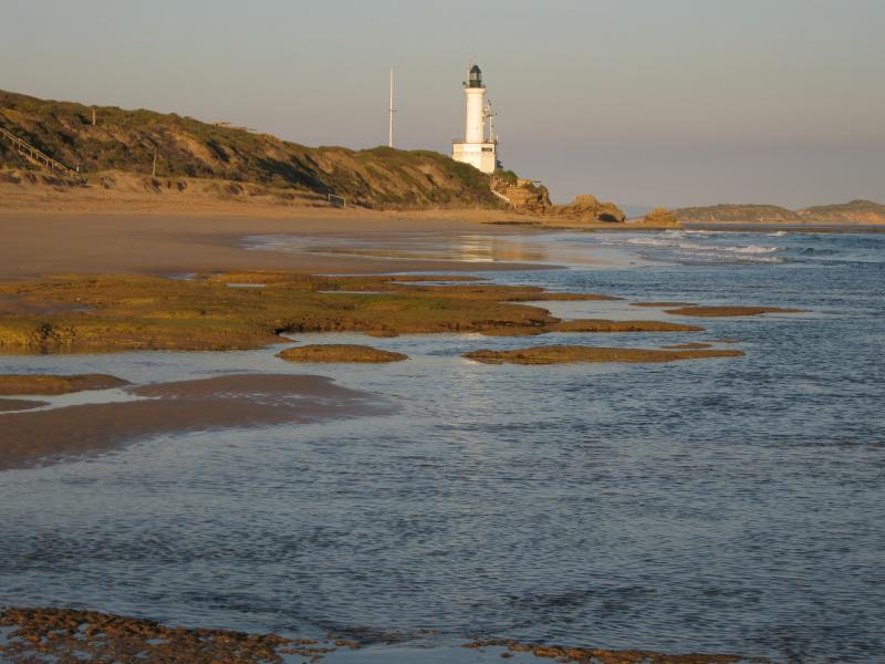
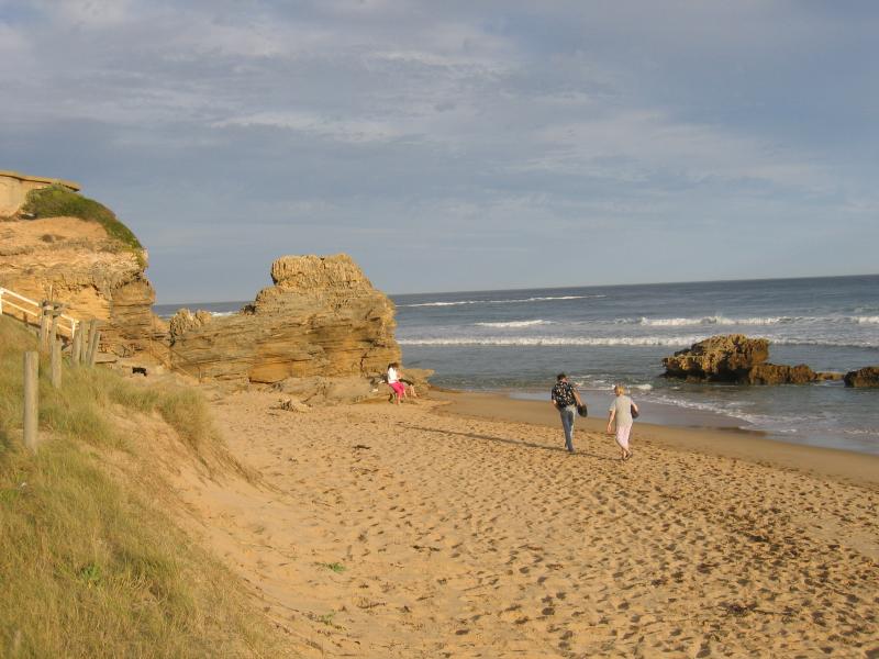 Point Lonsdale Lighthouse - View east along beach at Point Lonsdale
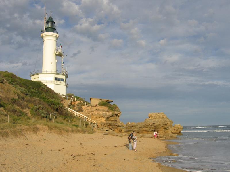 Point Lonsdale Lighthouse - View east along beach towards lighthouse
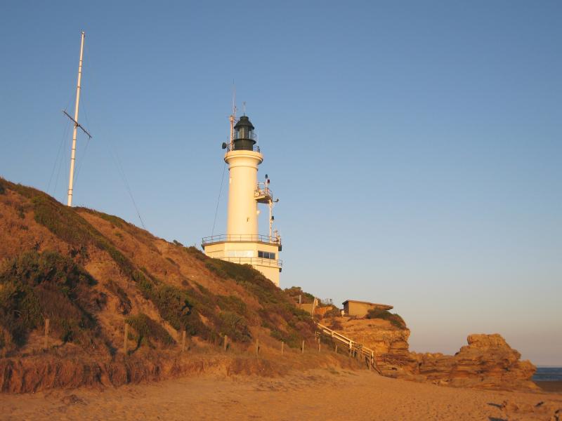 Point Lonsdale Lighthouse - View east along beach towards lighthouse and flagstaff
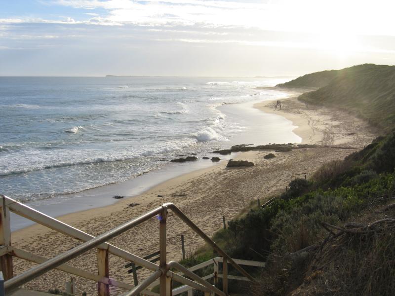
 Surf Back Beach at Stoneman Reserve, Ocean Road - View south along path down to beach
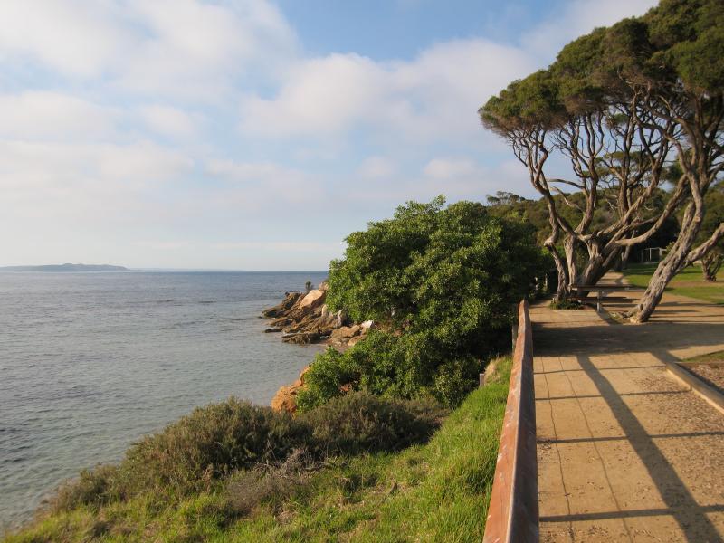
 Surf Back Beach at Stoneman Reserve, Ocean Road - View east along foreshore towards lighthouse
 Surf Back Beach at Stoneman Reserve, Ocean Road - View east along beach towards lighthouse
 Lookout and Surf Back Beach, Ocean Road opposite Winterley Road - View north along path back towards Ocean Dr
 Lookout and Surf Back Beach, Ocean Road opposite Winterley Road - Military ruins at lookout
 Lookout and Surf Back Beach, Ocean Road opposite Winterley Road - View north from lookout towards Ganes Reserve
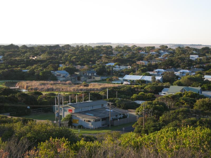
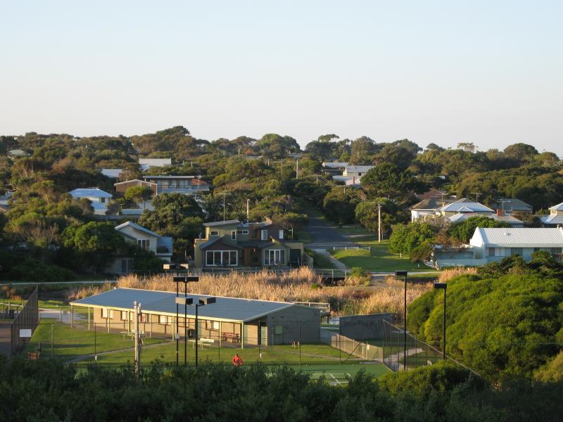
 Lookout and Surf Back Beach, Ocean Road opposite Winterley Road - View north-east from lookout over residential areas
 Lookout and Surf Back Beach, Ocean Road opposite Winterley Road - View north-east from lookout over residential areas towards Queenscliff
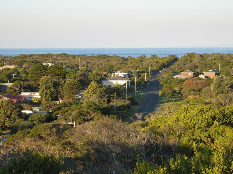 Lookout and Surf Back Beach, Ocean Road opposite Winterley Road - View east from lookout along Ocean Dr
 Lookout and Surf Back Beach, Ocean Road opposite Winterley Road - View east from lookout towards lighthouse and Point Nepean
 Lookout and Surf Back Beach, Ocean Road opposite Winterley Road - View east from lookout towards lighthouse, beach and Point Nepean
 Lookout and Surf Back Beach, Ocean Road opposite Winterley Road - View east from lookout down to beach
 Lookout and Surf Back Beach, Ocean Road opposite Winterley Road - View south towards beach from lookout
 Lookout and Surf Back Beach, Ocean Road opposite Winterley Road - View along path down to beach
 Lookout and Surf Back Beach, Ocean Road opposite Winterley Road - View east along beach towards lighthouse
 Lookout and Surf Back Beach, Ocean Road opposite Winterley Road - View north from beach towards sand dunes
 Lookout and Surf Back Beach, Ocean Road opposite Winterley Road - View east along beach towards lighthouse
 Lookout at Surf Back Beach, Ocean Road opposite Ganes Reserve - View north-east across tennis courts at Ganes Reserve
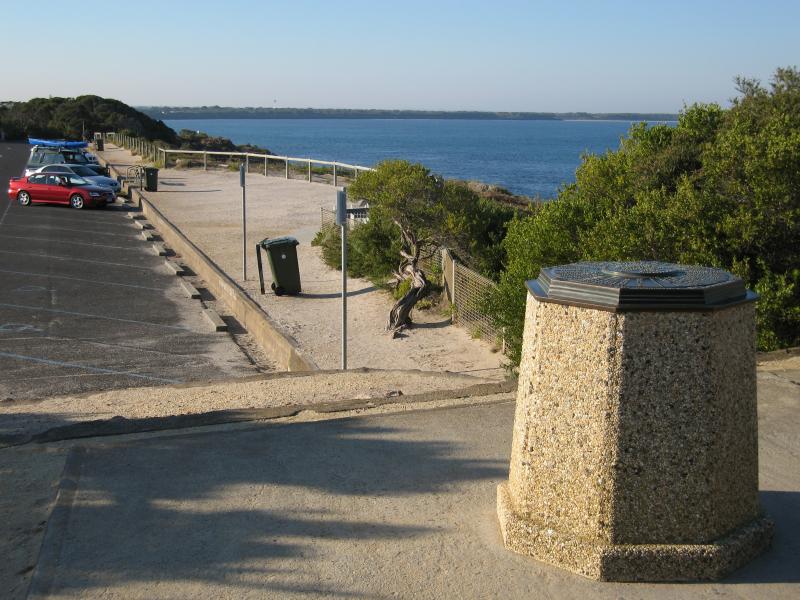
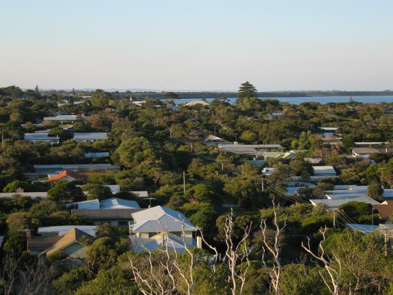
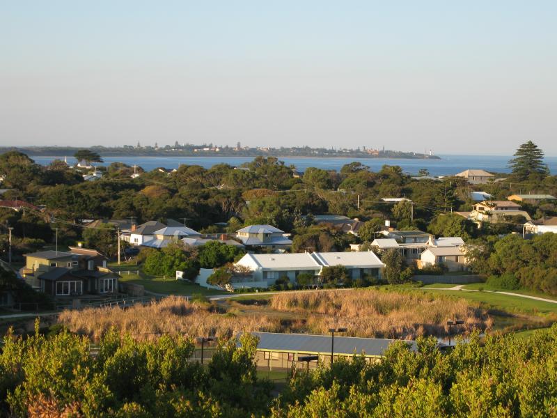 Lookout at Surf Back Beach, Ocean Road opposite Ganes Reserve - View north-east across lake at Ganes Reserve with Queenscliff in background
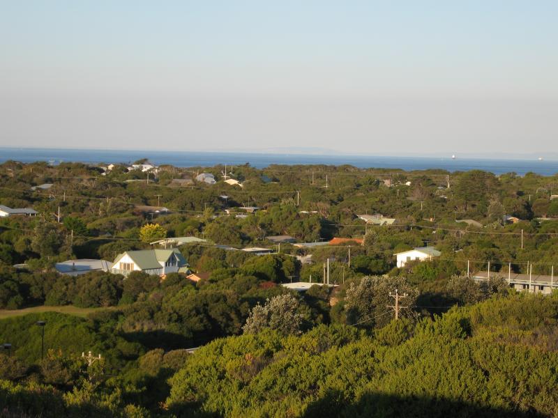 Lookout at Surf Back Beach, Ocean Road opposite Ganes Reserve - View east
 Lookout at Surf Back Beach, Ocean Road opposite Ganes Reserve - View east towards lighthouse
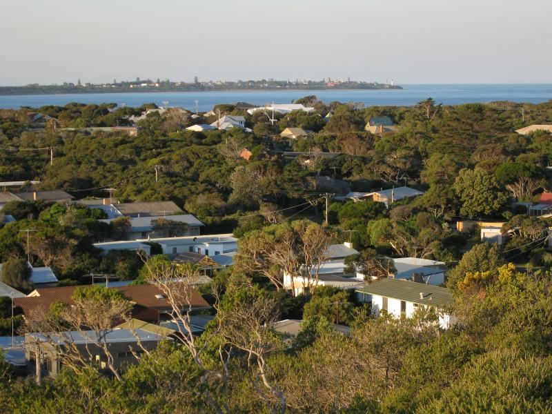
 Lookout at Surf Back Beach, Ocean Road opposite Ganes Reserve - View east towards lighthouse and Point Nepean
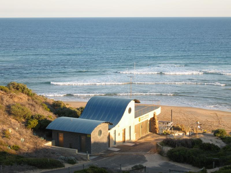 Lookout at Surf Back Beach, Ocean Road opposite Ganes Reserve - View south towards Point Lonsdale Surf Lifesaving club
 Coast at end of Lawrence Road - View north-east along coast towards Queenscliff
 Coast at end of Lawrence Road - Port Phillip Heads Marine National Park sign
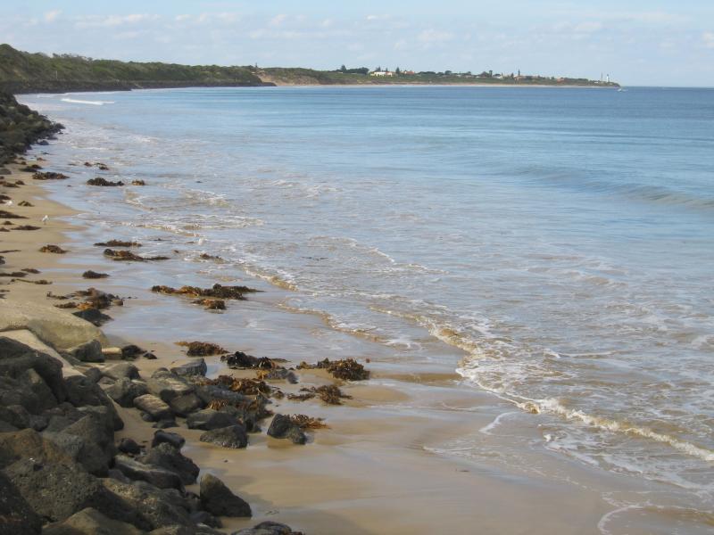
 Coast at end of Lawrence Road - View south-west along coast towards Point Lonsdale
 Coast at end of Lawrence Road - View south-west along coastal walking and bicycle track
 Bellarine Highway - View south-east along Bellarine Hwy towards Pt Lonsdale Rd