Stawell - public transport
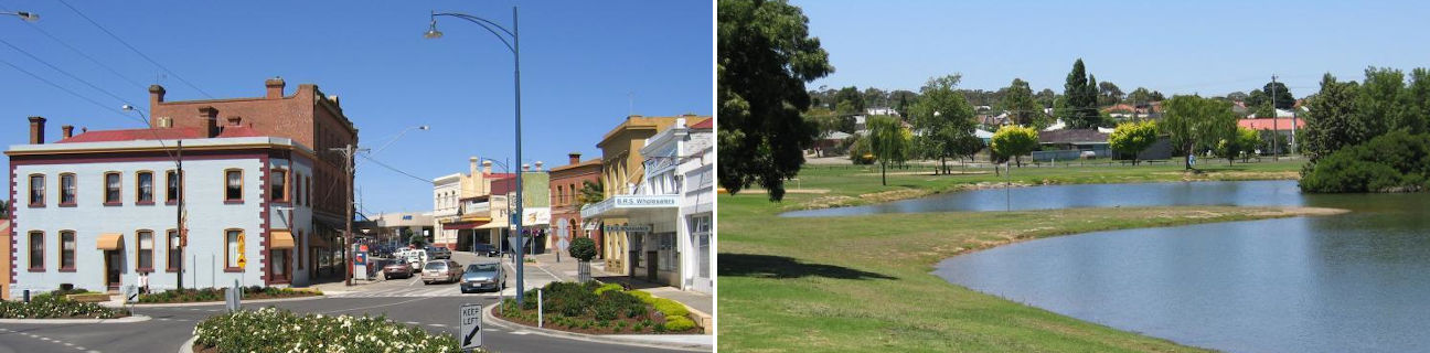
Stawell
Stay
See and do
Food and drink
Shopping
Getting around
Visitor information
Train
Stawell station
| Line | Operator | Timetable and stops | Map |
|---|---|---|---|
| The Overland |  |
Melbourne to Adelaide Via Southern Cross, North Shore, Ararat, Stawell, Horsham, Dimboola, Nhill, Bordertown (SA), Murray Bridge (SA), Adelaide (SA) |
Ararat station
(31 km away)
| Line | Operator | Timetable and stops | Map |
|---|---|---|---|
| Ararat |  |
Ararat - Melbourne Via Ararat, Beaufort, Wendouree, Ballarat, Ballan, Bacchus Marsh, Melton, Cobblebank, Rockbank, Caroline Springs, Deer Park, Ardeer, Sunshine, Footscray, Southern Cross |
|
| The Overland | |
Melbourne to Adelaide Via Southern Cross, North Shore, Ararat, Stawell, Horsham, Dimboola, Nhill, Bordertown (SA), Murray Bridge (SA), Adelaide (SA) |
Bus
| Route | Operator | Timetable | Map |
|---|---|---|---|
| No. 1: Stawell town service Via Stawell station |
Sandlant | ||
| No. 2: Stawell town service Via Stawell station |
Sandlant | ||
| Stawell to Halls Gap Via Stawell station |
|
||
| Stawell to Horsham Via Stawell station |
Sandlant | ||
| Ararat to Stawell Via Ararat station, Great Western, Stawell station |
Sandlant | ||
| Ballarat to Stawell Via Ballarat station, Beaufort, Ararat, Ararat station, Stawell station |
Sandlant | ||
| St Arnaud to Stawell Via Navarre, Landsborough, Crowlands, Ararat, Ararat station, Great Western |
BusBiz | ||
| St Arnaud to Stawell Via Marnoo, Callawadda, Stawell station |
BusBiz | ||
| Nhill to Ballarat Via Dimboola, Pimpinio, Horsham, Murtoa, Rupanyup, Glenorchy, Dadswells Bridge, Stawell, Stawell station, Great Western, Ararat, Ararat station, Buangor, Beaufort, Beaufort station, Trawalla, Ballarat station |
|
||
| Ouyen to Ballarat Via Tempy, Speed, Turriff, Lascelles, Hopetoun, Rosebery, Beulah, Brim, Warracknabeal, Minyip, Rupanyup, Glenorchy, Stawell, Stawell station, Great Western, Ararat, Ararat station, Buangor, Beaufort, Beaufort station, Trawalla, Ballarat station |
|
||
| Melbourne to Adelaide (SA) Via Southern Cross station, Deer Park, Melton, Bacchus Marsh, Ballarat, Ballarat station, Beaufort, Ararat, Ararat station, Stawell, Horsham, Dimboola, Nhill, Kaniva, Bordertown (SA), Keith (SA), Tailem Bend (SA), Murray Bridge (SA), Mount Barker (SA) |
 |
Taxi
| Operator | Areas covered | Phone |
|---|---|---|
| Ararat Taxi Services | Ararat, Beaufort, Buangor, Elmhurst, Glenthompson, Great Western, Halls Gap, Lake Bolac, Maroona, Moyston, Pomonal, Raglan, Stawell | (03) 5352 2233 |
| Stawell Taxis | Stawell | (03) 5358 4222 |