Warracknabeal - photos
Warracknabeal
Stay
See and do
Food and drink
Shopping
Getting around
Visitor information
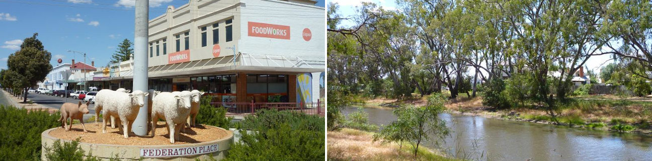
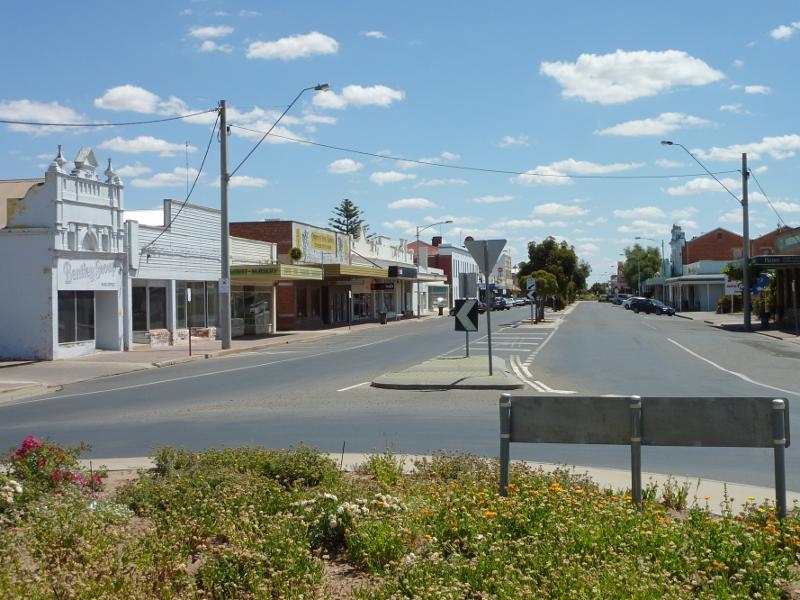 Shops and commercial centre, Scott Street - View north along Scott St at Lyle St
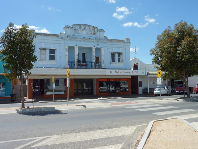 Shops and commercial centre, Scott Street - East side of Scott St between Lyle St and Woolcock St
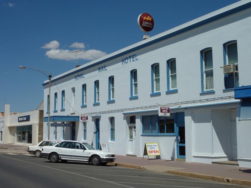 Shops and commercial centre, Scott Street - Royal Mail Hotel, west side of Scott St between Lyle St and Woolcock St
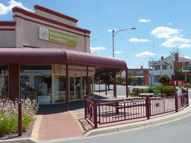
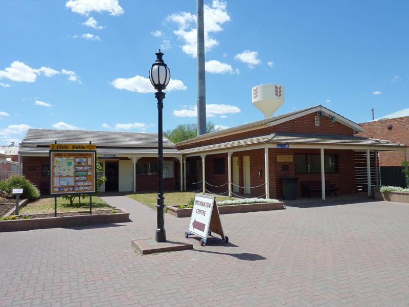 Shops and commercial centre, Scott Street - Tourist information centre, east side of Scott St between Lyle St and Woolcock St
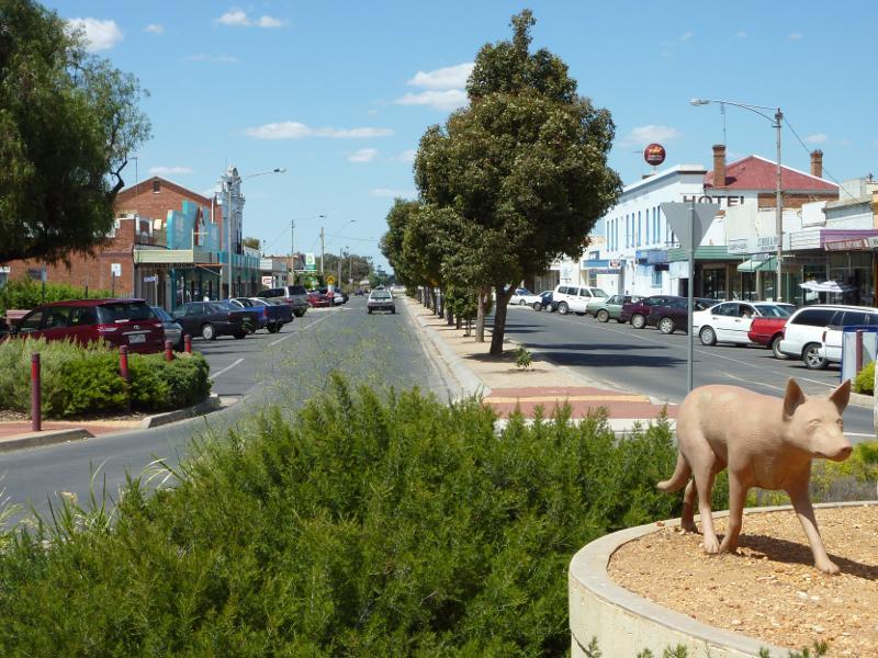 Shops and commercial centre, Scott Street - View south along Scott St at Woolcock St
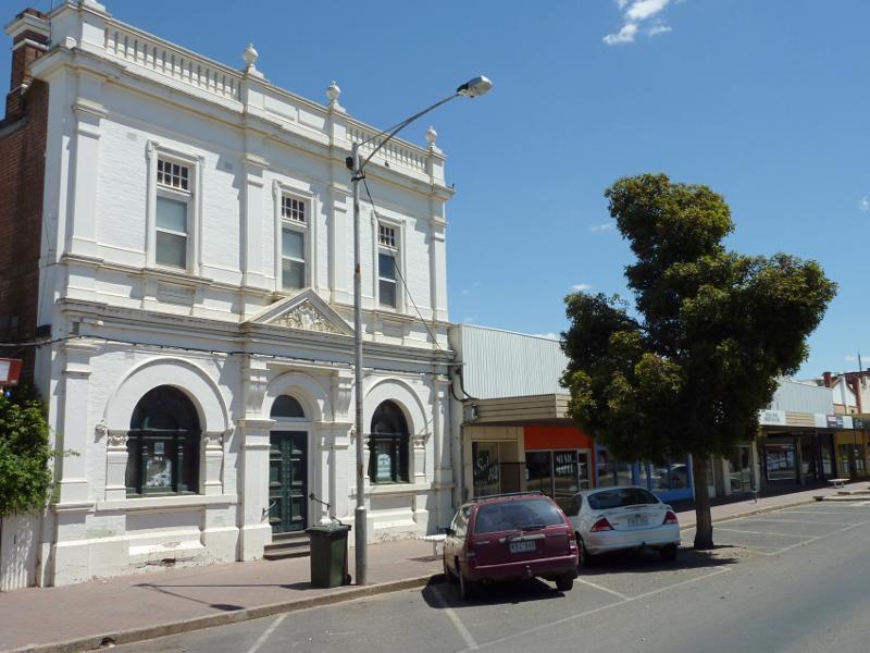
 Shops and commercial centre, Scott Street - Warracknabeal Post Office, corner Scott St and Woolcock St
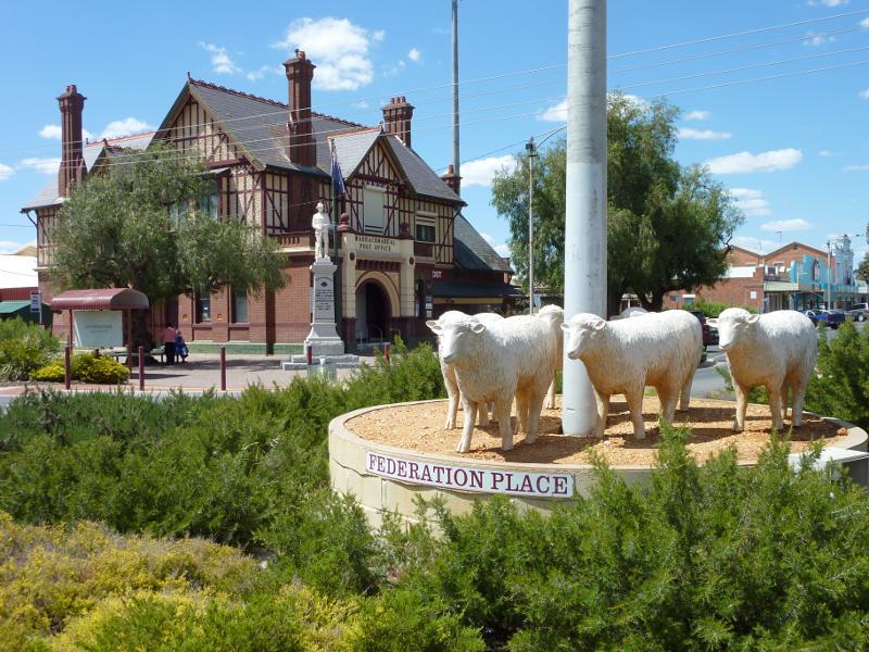 Shops and commercial centre, Scott Street - View towards Warracknabeal Post Office from roundabout at Scott St and Woolcock St
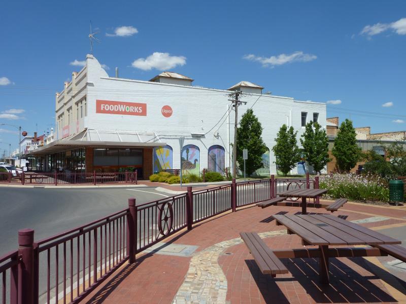
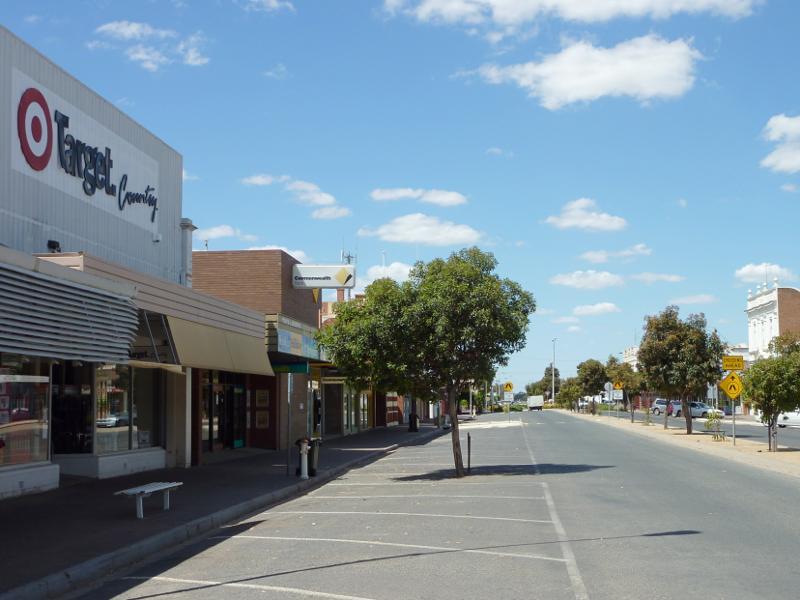
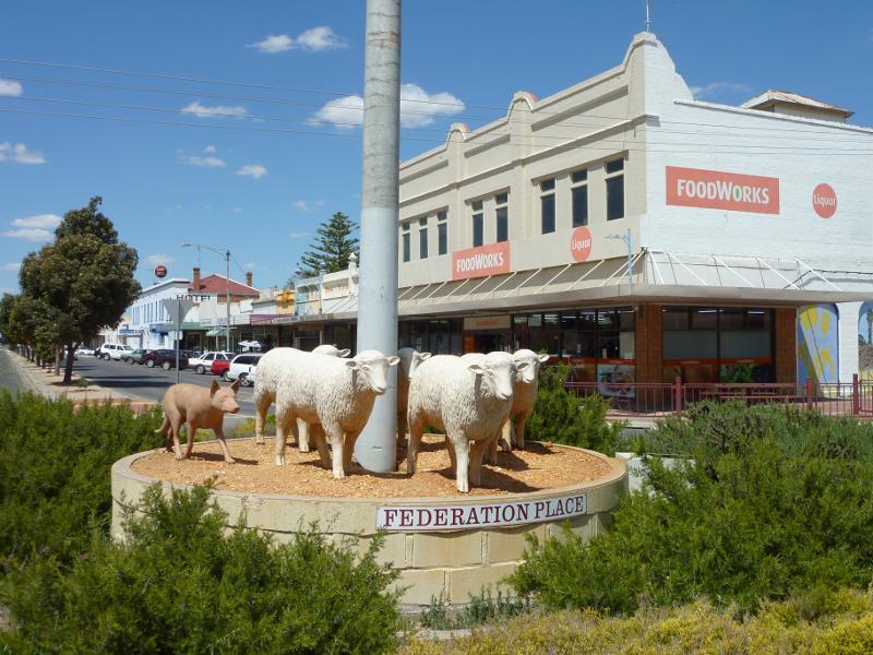 Shops and commercial centre, Scott Street - Supermarket, view south along Scott St at Woolcock St
 Shops and commercial centre, Scott Street - View south along Scott St towards Woolcock St
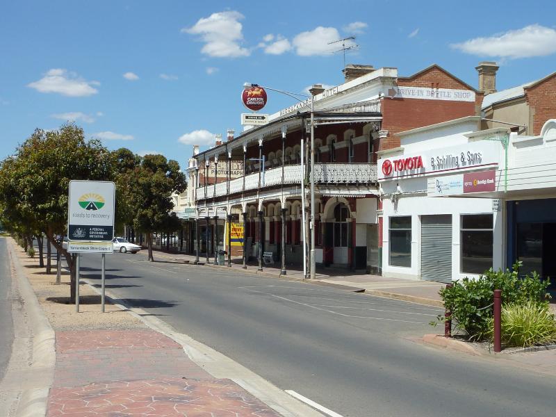
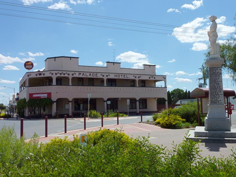 Shops and commercial centre, Scott Street - Palace Hotel, view north along Scott St towards Woolcock St
 Shops and commercial centre, Scott Street - View north along Scott St at Woolcock St
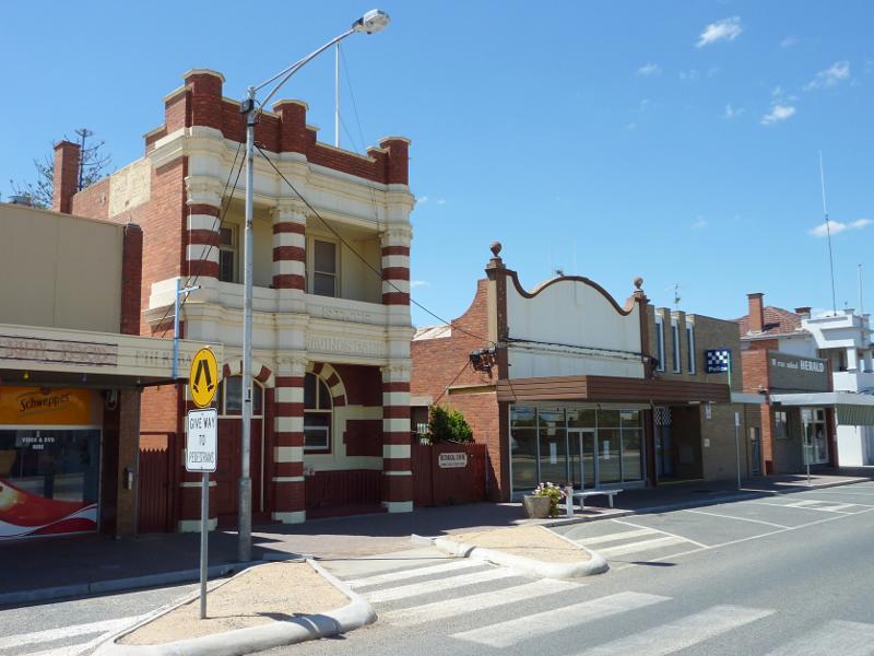 Shops and commercial centre, Scott Street - Historical Centre and shops along east side of Scott St between Woolcock St and Phillips St
 Shops and commercial centre, Scott Street - Shops along west side of Scott St between Woolcock St and Phillips St
 Shops and commercial centre, Scott Street - View south along Scott St between Woolcock St and Phillips St
 Shops and commercial centre, Scott Street - View south along Scott St near Phillips St towards Warracknabeal Hotel
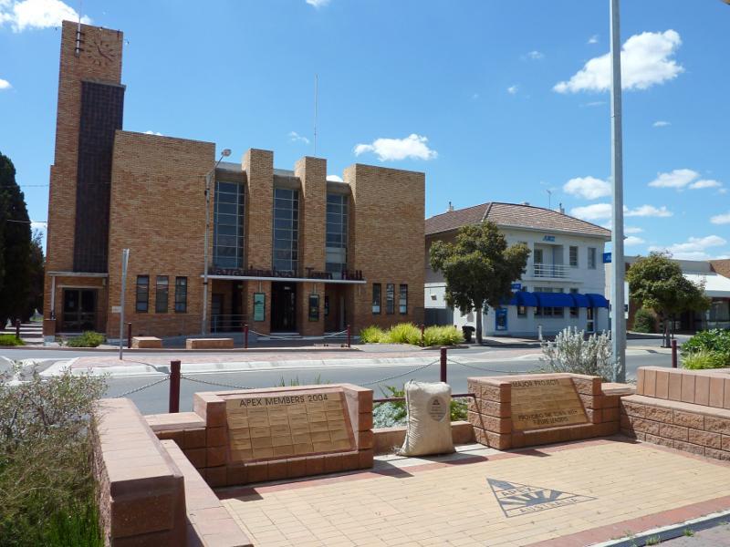 Shops and commercial centre, Scott Street - View east across Scott St at Phillips St towards Warracknabeal Town Hall
 Shops and commercial centre, Scott Street - View south along Scott St at Phillips St
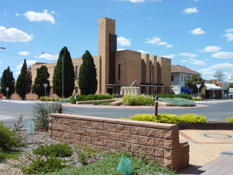
 Shops and commercial centre, Scott Street - View south along Scott St at Phillips St roundabout
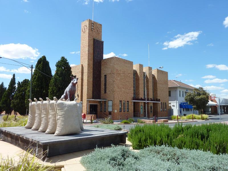 Shops and commercial centre, Scott Street - View of Warracknabeal Town Hall from roundabout at Scott St and Phillips St
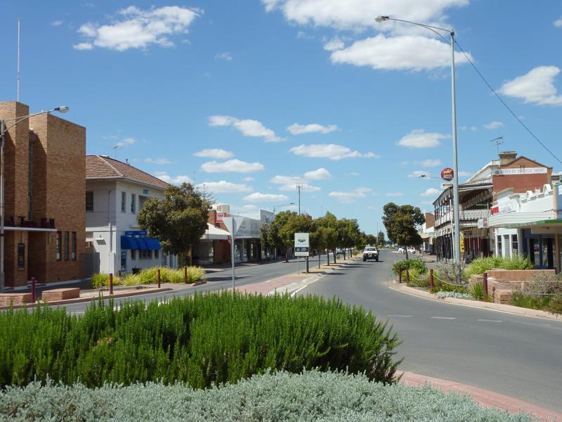
 Shops and commercial centre, Scott Street - View south along Scott St towards Phillips St and Warracknabeal Town Hall
 Shops and commercial centre, Scott Street - View north along Scott St towards Phillips St
 Shops and commercial centre, Scott Street - View north along Scott St from roundabout at Phillips St
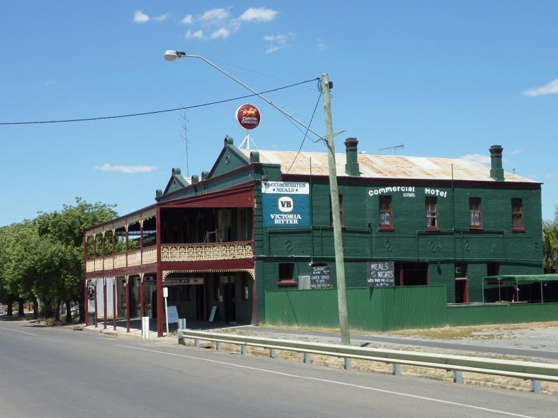 Shops and commercial centre, Scott Street - Commercial Hotel, west side of Scott St between Phillips St and Kelsall St
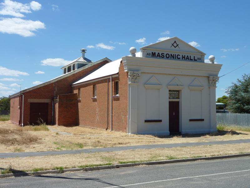 Shops and commercial centre, Scott Street - Masonic Hall, corner Scott St and Kelsall St
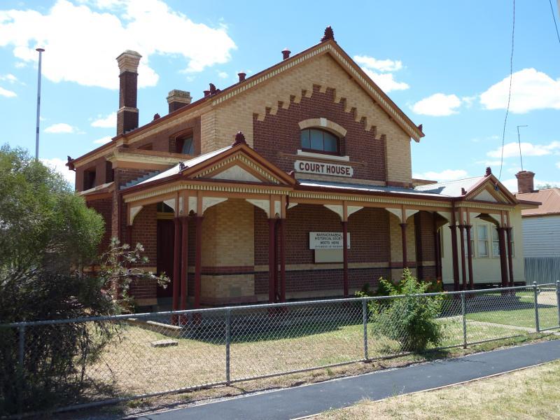 Woolcock Street - Old court house, corner Woolcock St and Devereux St
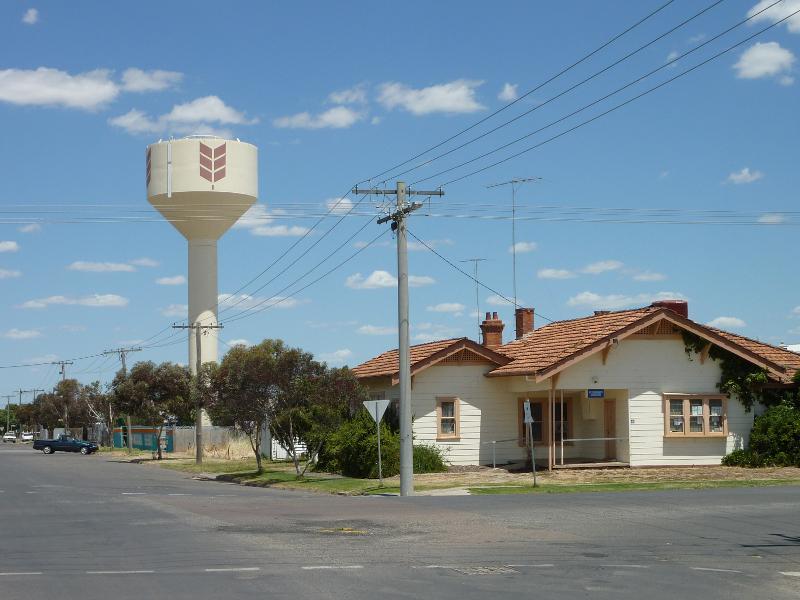 Woolcock Street - View south along Devereux St at Woolcock St towards water tower
 Lyle Street - View east along Lyle St at Scott St
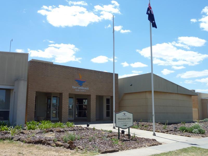 Lyle Street - Yarriambiack Shire Council, corner Lyle St and Anderson St
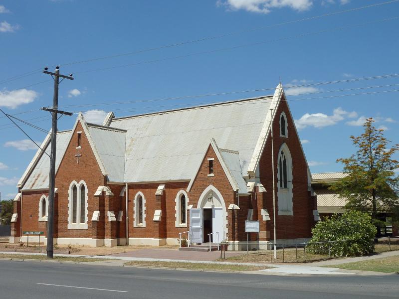 Lyle Street - Anglican Church, corner Lyle St and Anderson St
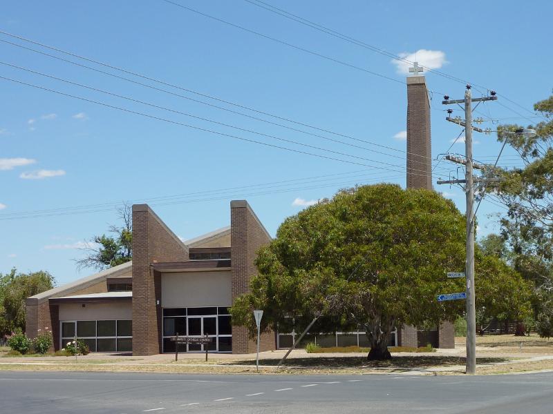 Lyle Street - St Mary's Church, corner Lyle St and Anderson St
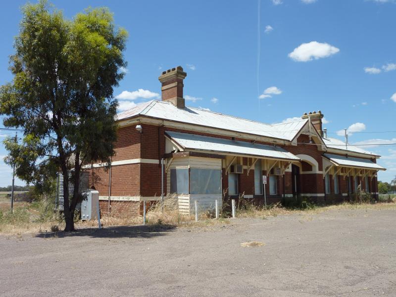 Warracknabeal railway station, Tarrant Street - Railway station viewed from car park
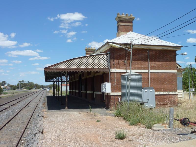 Warracknabeal railway station, Tarrant Street - View south-east along railway at platform
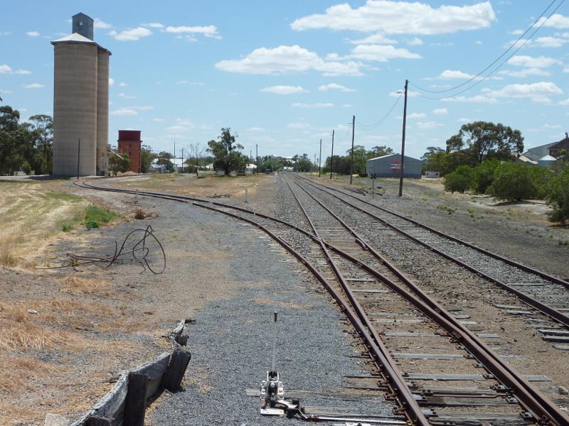 Warracknabeal railway station, Tarrant Street - View north-west along railway from station platform towards silos
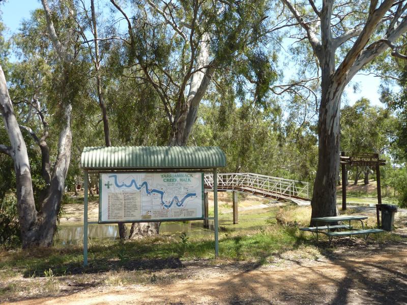 Lions Flora and Fauna Park, Yarriambiack Creek - Yarriambiack Creek Walk sign, near northern end of Scott St
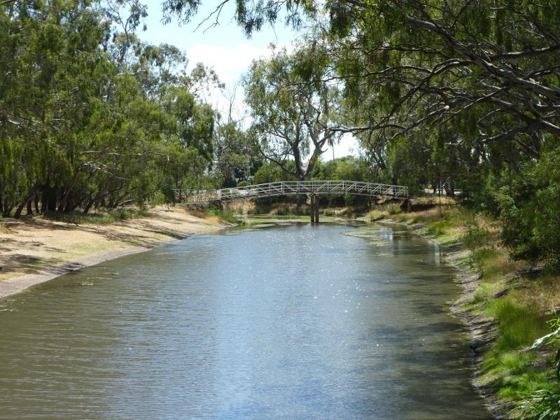
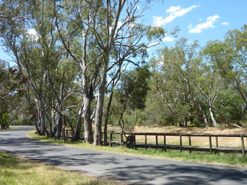
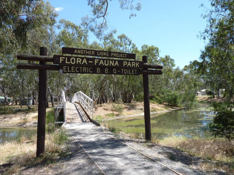 Lions Flora and Fauna Park, Yarriambiack Creek - View west towards footbridge over creek and into Lions Park, near northern end of Scott St
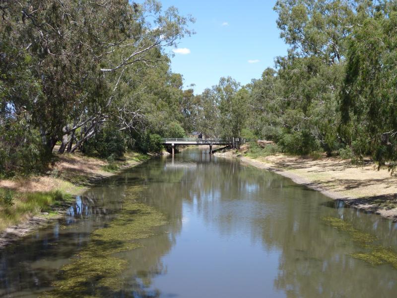
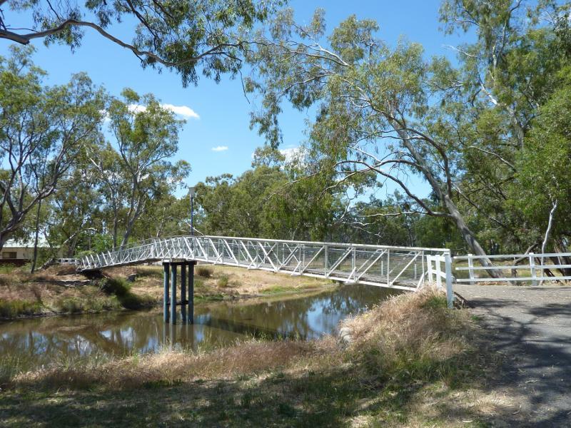
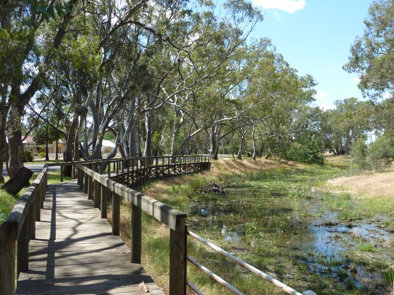
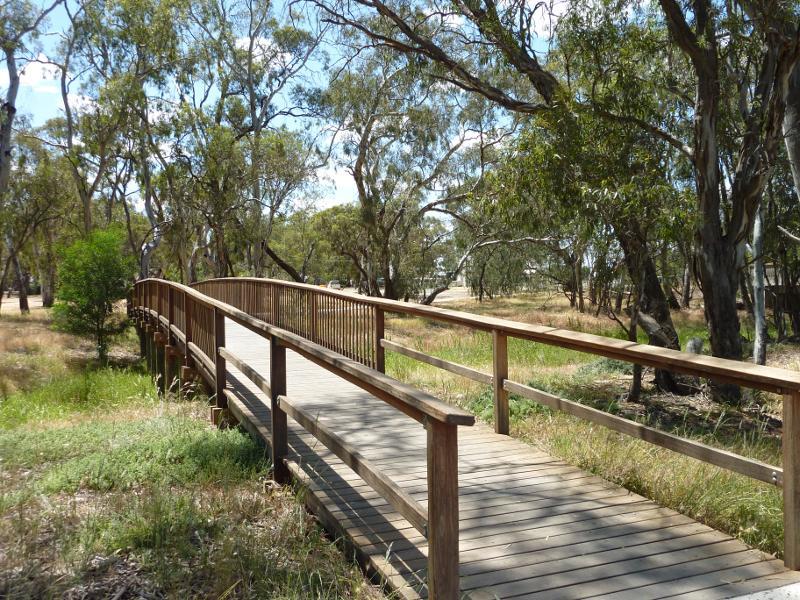
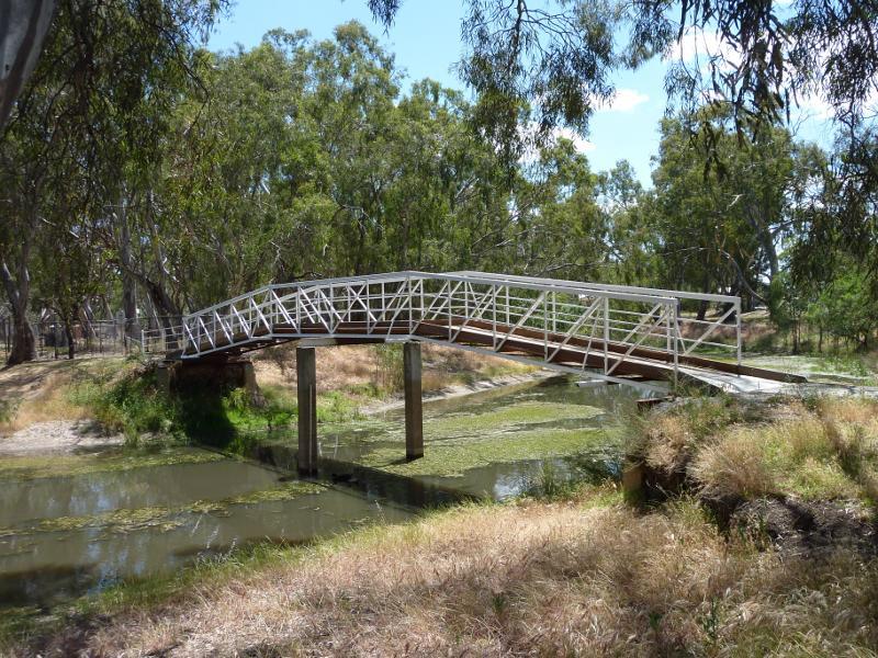 Lions Flora and Fauna Park, Yarriambiack Creek - Footbridge across creek into Lions Park, near northern end of Scott St
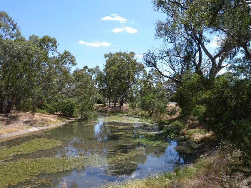 Lions Flora and Fauna Park, Yarriambiack Creek - View north along creek from footbridge into Lions Park
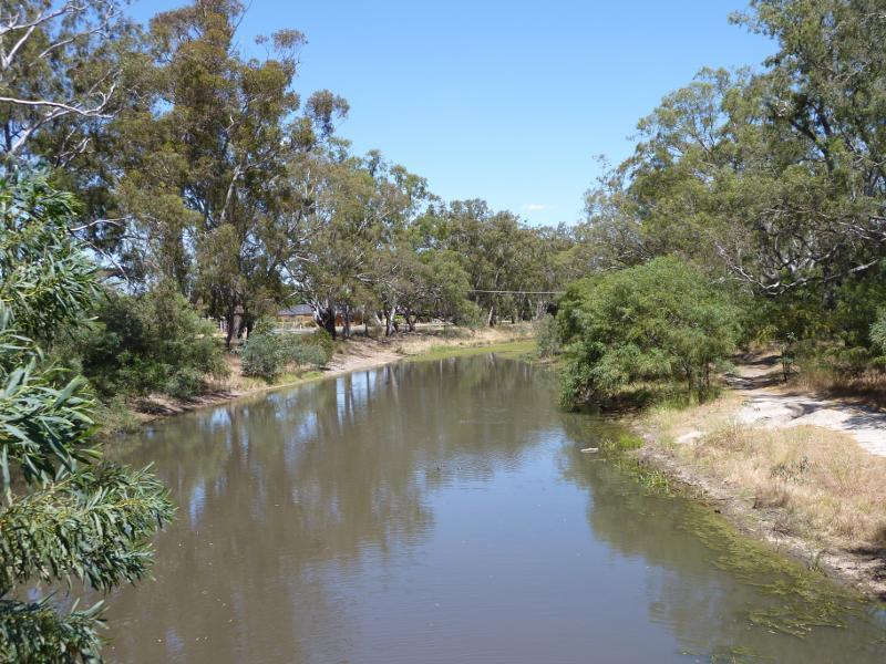
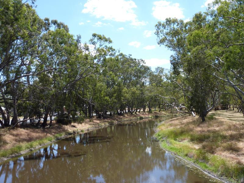
 Lions Flora and Fauna Park, Yarriambiack Creek - View south along creek from footbridge into Lions Park
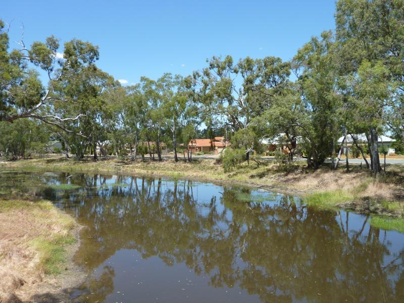
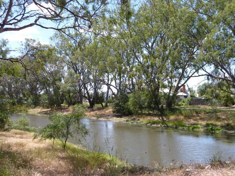 Lions Flora and Fauna Park, Yarriambiack Creek - View from west side of creek, southern end of Lions Park
 Lions Flora and Fauna Park, Yarriambiack Creek - View north-east along creek from Jamouneau St bridge
 Lions Flora and Fauna Park, Yarriambiack Creek - View south-west along creek from Jamouneau St bridge
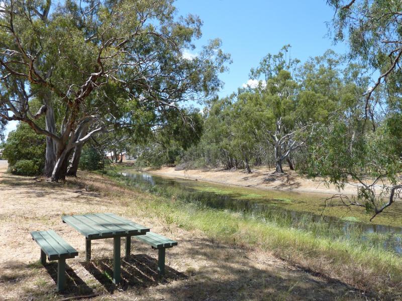
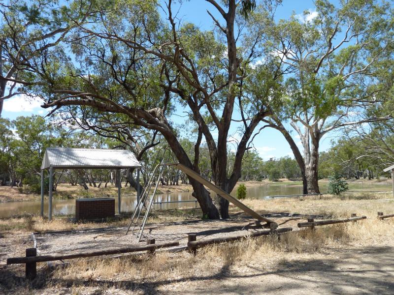
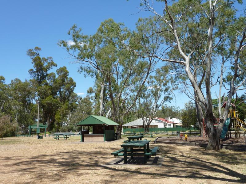 Lions Flora and Fauna Park, Yarriambiack Creek - Picnic area and playground, Lions Park
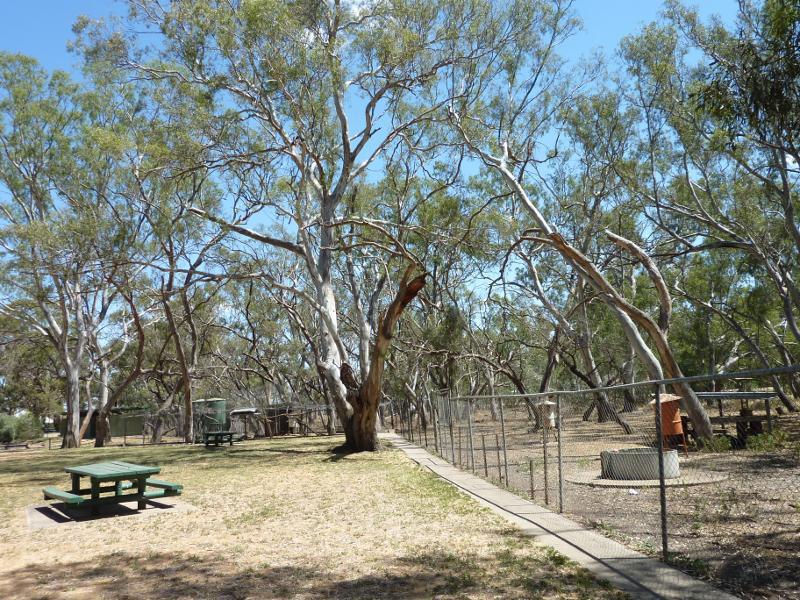 Lions Flora and Fauna Park, Yarriambiack Creek - Animal enclosures, Lions Park
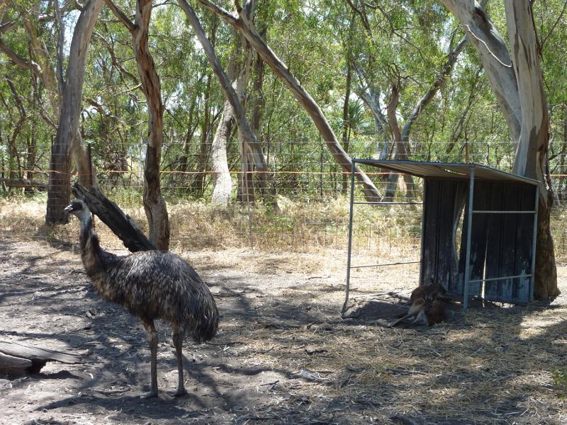 Lions Flora and Fauna Park, Yarriambiack Creek - Emu enclosure, Lions Park
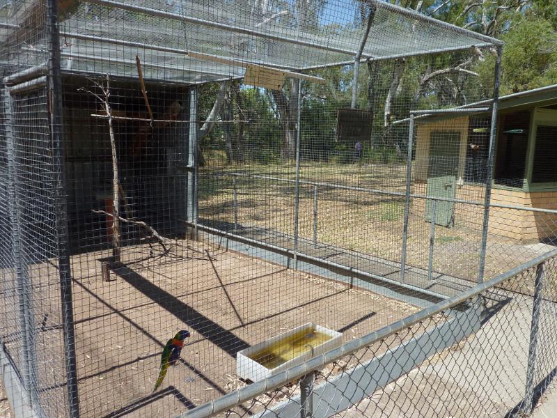 Lions Flora and Fauna Park, Yarriambiack Creek - Parrot in bird enclosure, Lions Park
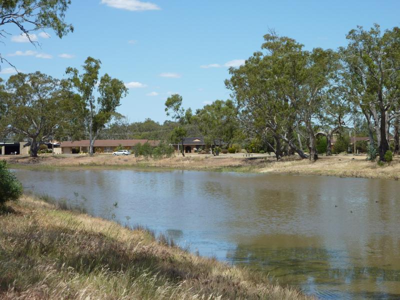
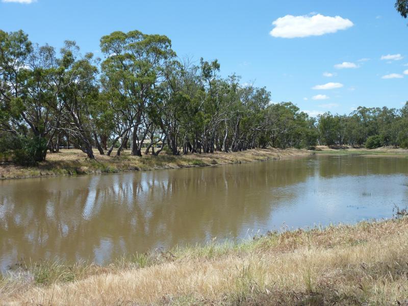
 Yarriambiack Creek at Asquith Avenue - View south-east along creek
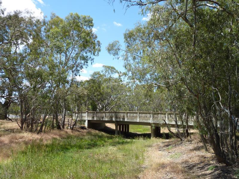
 Yarriambiack Creek at Asquith Avenue - Half Moon Bridge across creek
 Yarriambiack Creek at Asquith Avenue - View north along creek from footbridge
 Yarriambiack Creek at Asquith Avenue - View south along creek from footbridge
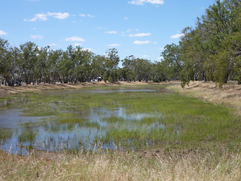
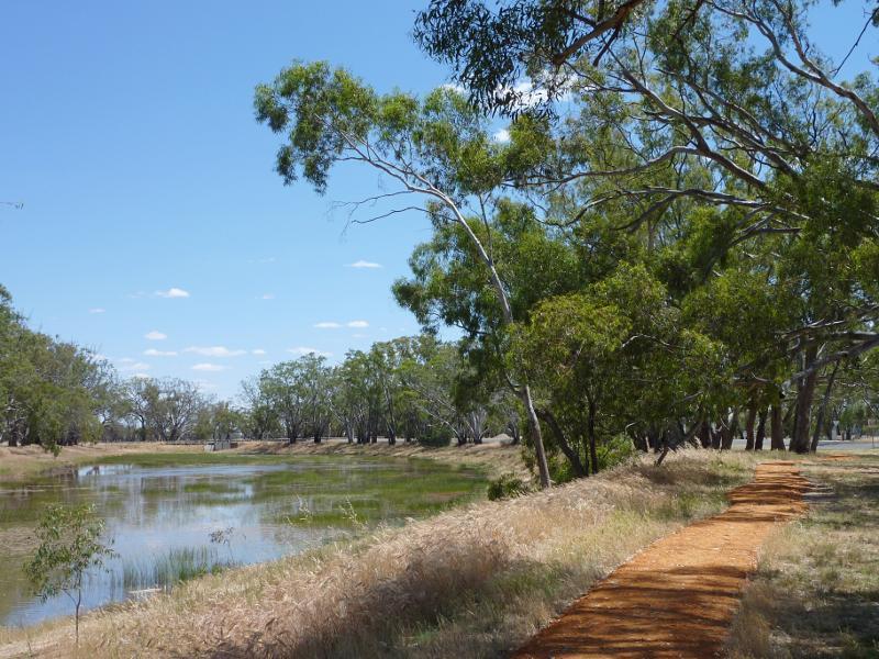 East side of Yarriambiack Creek, Rainbow Road near Ross Street - View north-west along walking track and creek
 East side of Yarriambiack Creek, Rainbow Road near Ross Street - View west across creek
 East side of Yarriambiack Creek, Rainbow Road near Ross Street - View west towards creek
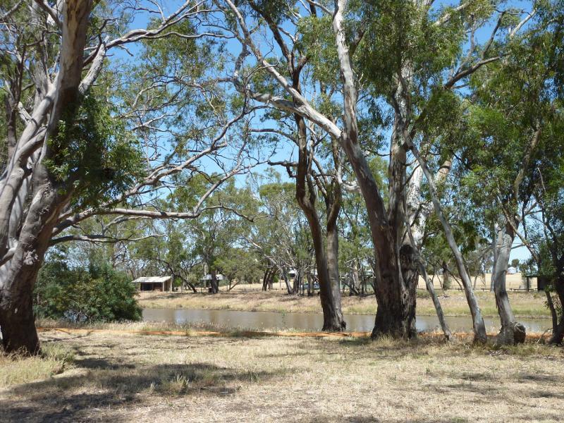
 East side of Yarriambiack Creek, Rainbow Road near Ross Street - View south along creek
 Rainbow Road at Yarriambiack Creek bridge and Craig Avenue - View south along creek at bridge
 Rainbow Road at Yarriambiack Creek bridge and Craig Avenue - View east along Rainbow Rd towards bridge
 Rainbow Road at Yarriambiack Creek bridge and Craig Avenue - Southerly view towards wheat fields, Craig Av near Rainbow Rd
 Rainbow Road at Yarriambiack Creek bridge and Craig Avenue - North-westerly view towards wheat fields, Rainbow Rd at Craig Av
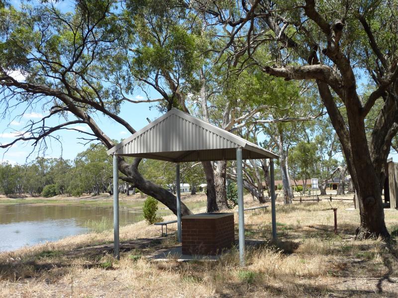
 Recreation area, west side of Yarriambiack Creek near boat ramp - View east across creek towards BBQ shelter
 Recreation area, west side of Yarriambiack Creek near boat ramp - View south-east along creek at BBQ shelter
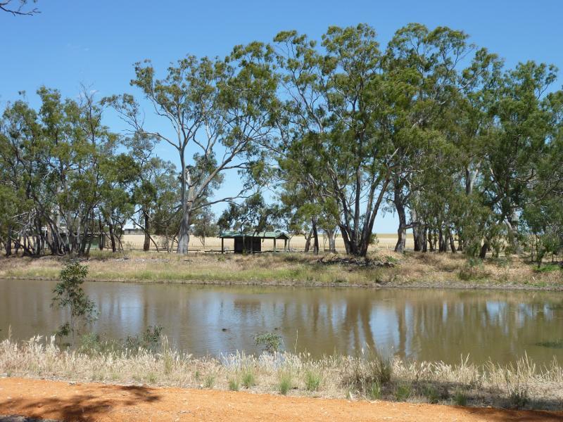
 Recreation area, west side of Yarriambiack Creek near boat ramp - View south-east along creek
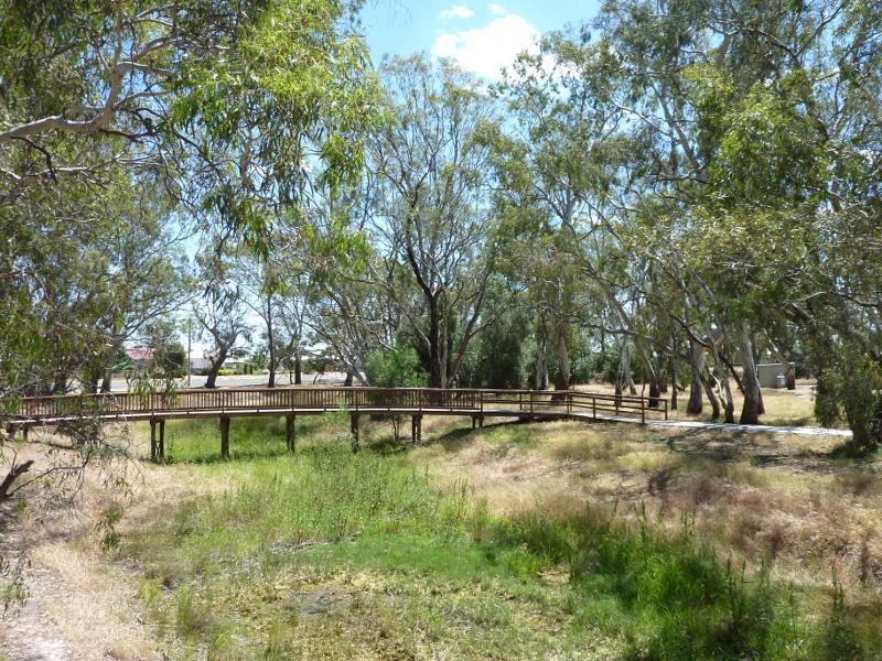
 Boardwalk along Yarriambiack Creek, Craig Avenue east of Coral Avenue - View east along Craig Av at boardwalk
 Boardwalk along Yarriambiack Creek, Craig Avenue east of Coral Avenue - View east along boardwalk and creek
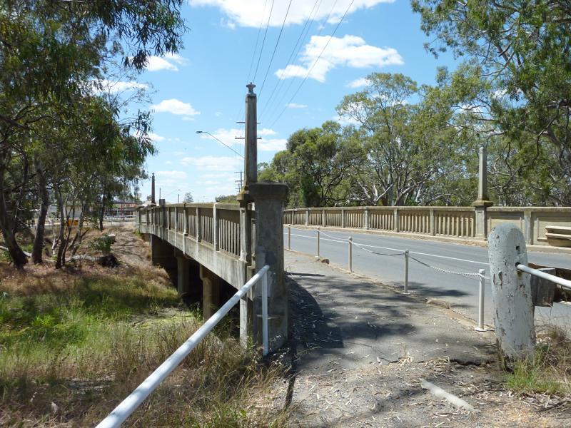 Yarriambiack Creek at Dimboola Road bridge - View east across Dimboola Rd bridge
 Yarriambiack Creek at Dimboola Road bridge - View north along creek from Dimboola Rd bridge
 Yarriambiack Creek at Dimboola Road bridge - View along footbridge across creek north of Dimboola Rd
 Yarriambiack Creek at Dimboola Road bridge - View south along creek from footbridge towards Dimboola Rd bridge
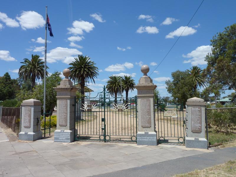 Anzac Park - Entrance gates, corner Scott St and Arnold St
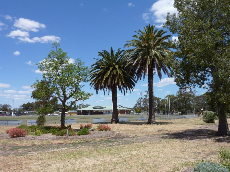 Anzac Park - View towards oval and pavillion
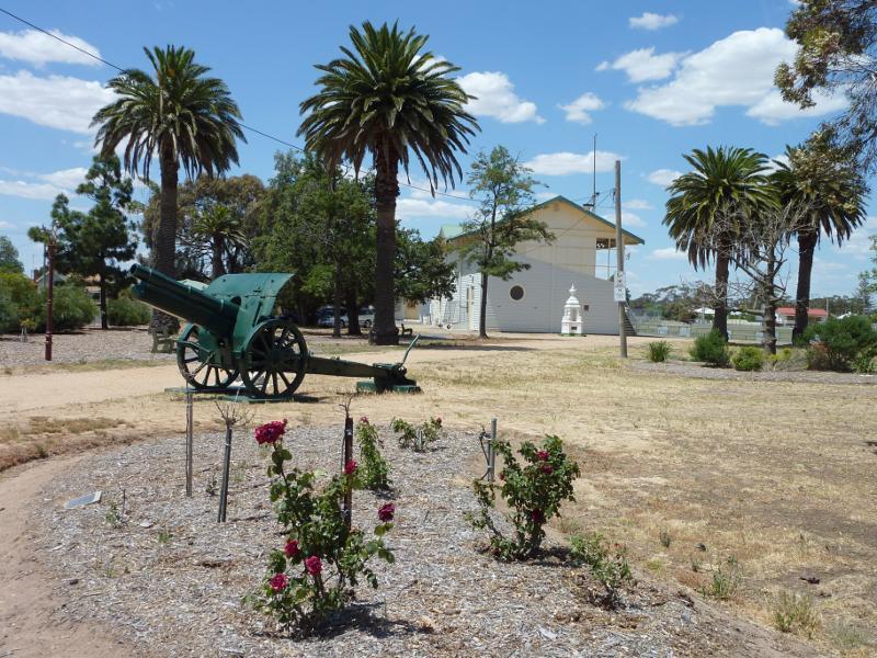 Anzac Park - View across gardens towards grandstand
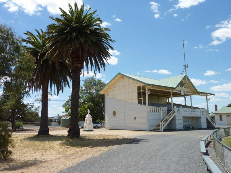 Anzac Park - View towards grandstand
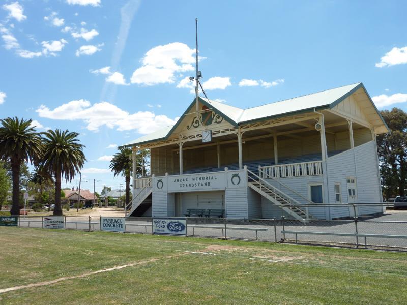 Anzac Park - Anzac Memorial Grandstand viewed from oval
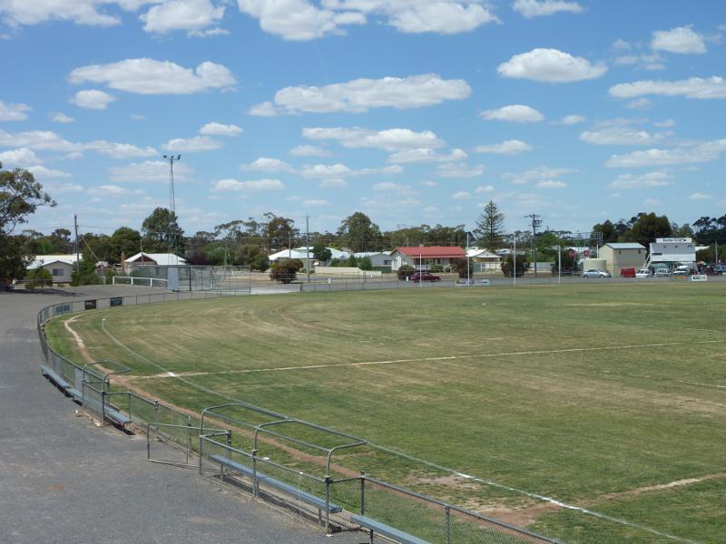 Anzac Park - View from grandstand across oval
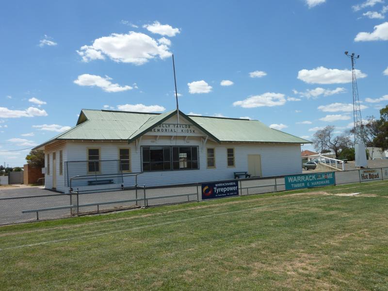 Anzac Park - Molly Taylor Memorial Kiosk viewed from oval
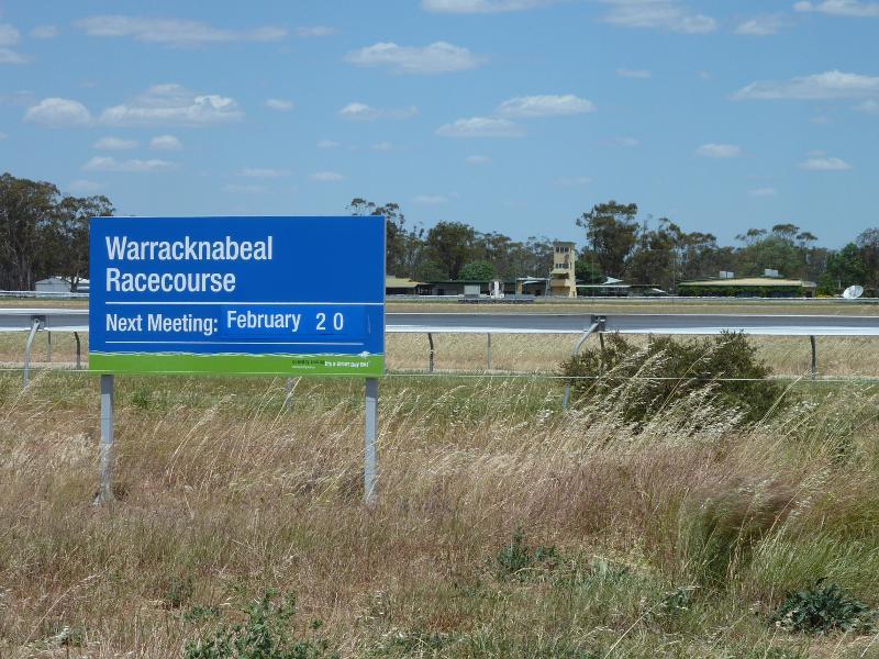 Racecourse and showgrounds - View south across Warracknabeal Racecourse from Borung Hwy
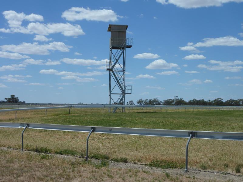 Racecourse and showgrounds - View across racetrack from entrance at Henty Hwy
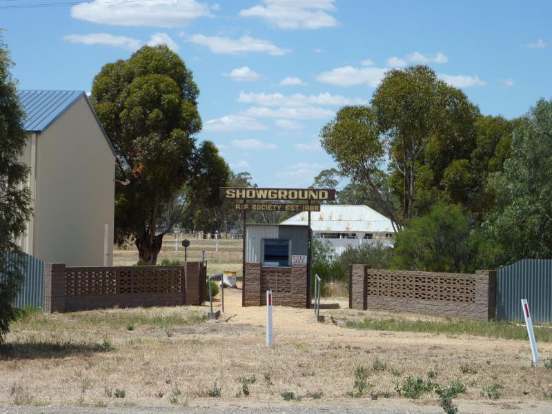 Racecourse and showgrounds - Entrance to showgrounds at Henty Hwy
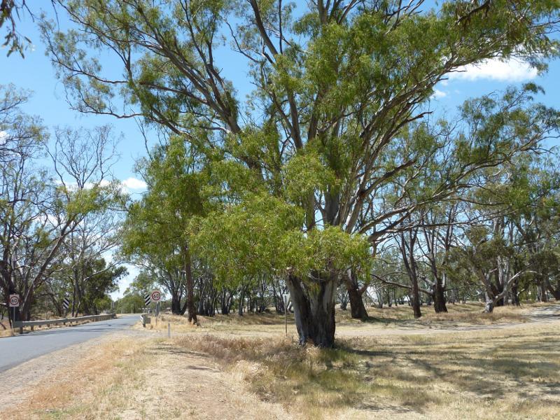
 Borung Highway east side of Warracknabeal - View west along Borung Hwy towards Henty Hwy
 Borung Highway east side of Warracknabeal - View east along Borung Hwy east of Henty Hwy
 Henty Highway north side of Warracknabeal - View south along Henty hwy towards Borung Hwy
 Henty Highway north side of Warracknabeal - View north along Henty Hwy, north of Borung Hwy
 Henty Highway south side of Warracknabeal - View north along Henty Hwy towards Lyle St
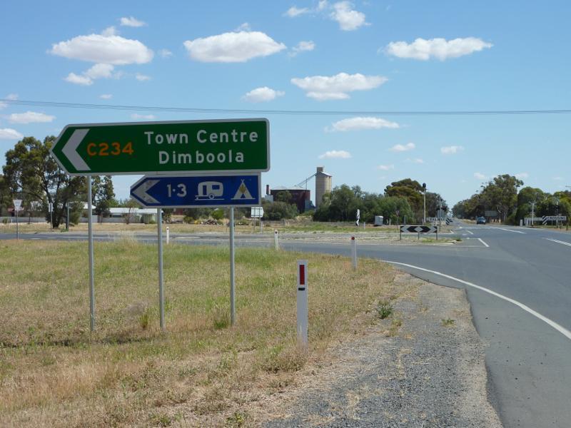
 Henty Highway south side of Warracknabeal - View north along Henty Hwy towards Minyip Rd
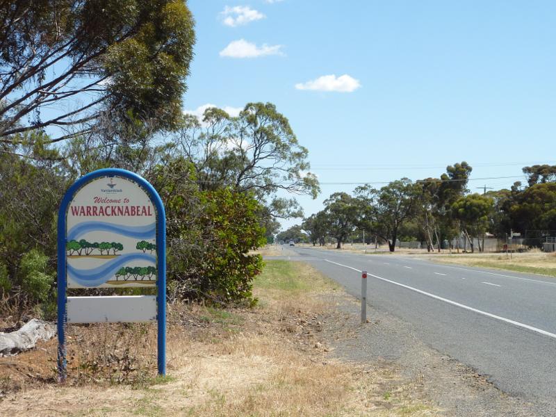 Henty Highway south side of Warracknabeal - Welcome to Warracknabeal sign, view north along Henty Hwy towards Gardiner St
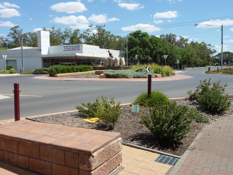
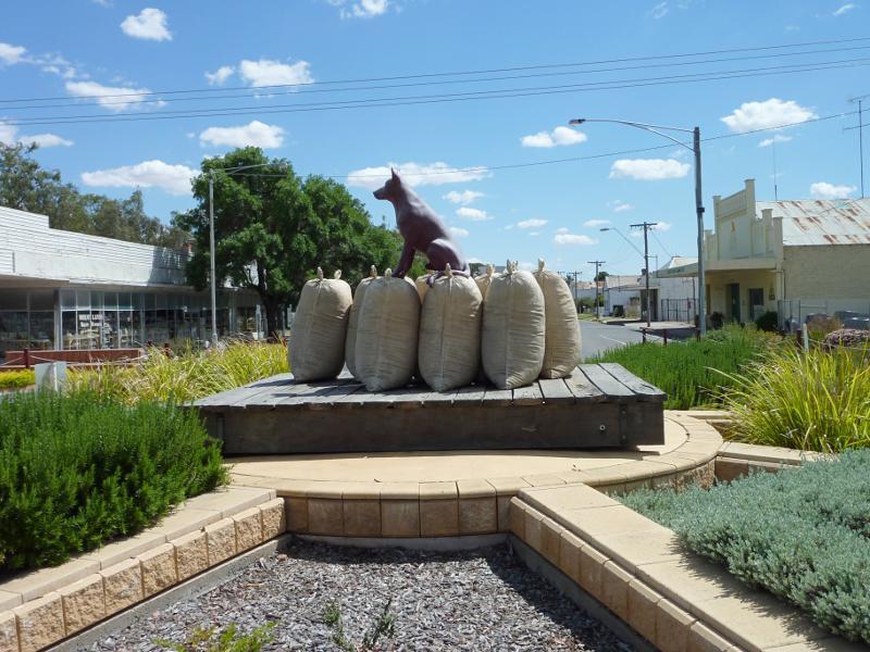
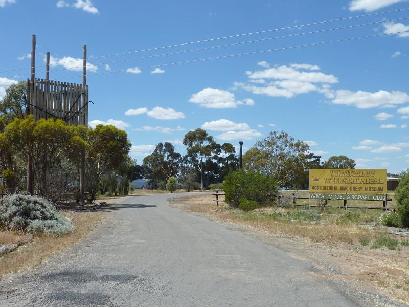 Henty Highway south side of Warracknabeal - Entrance to Wheatlands Agricultural Machinery Museum, Henty Hwy south of Gardiner St
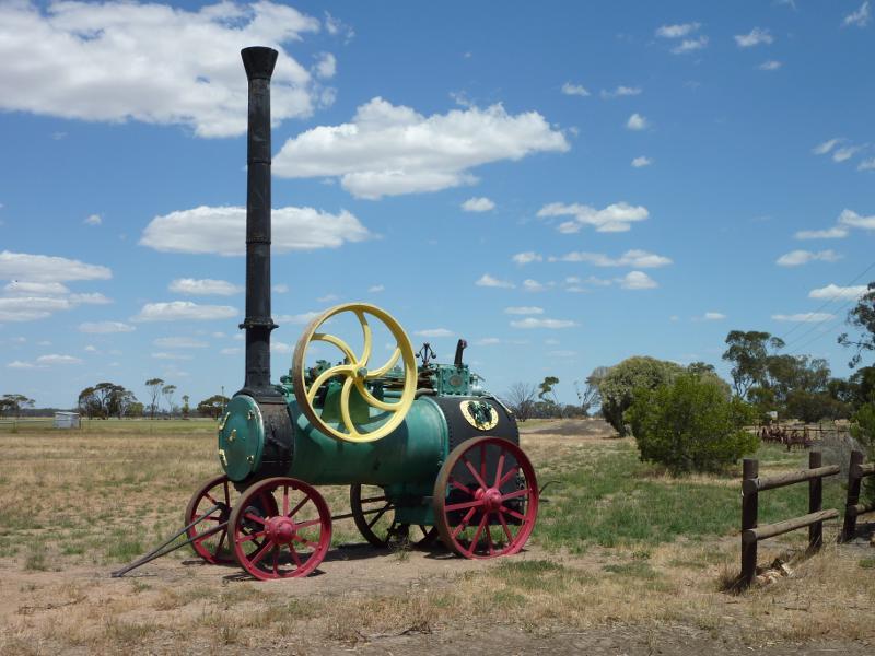 Henty Highway south side of Warracknabeal - Old farm machinery at entrance to Wheatlands Agricultural Machinery Museum
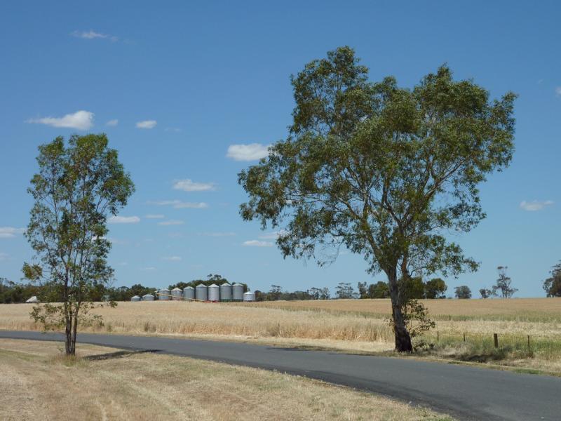
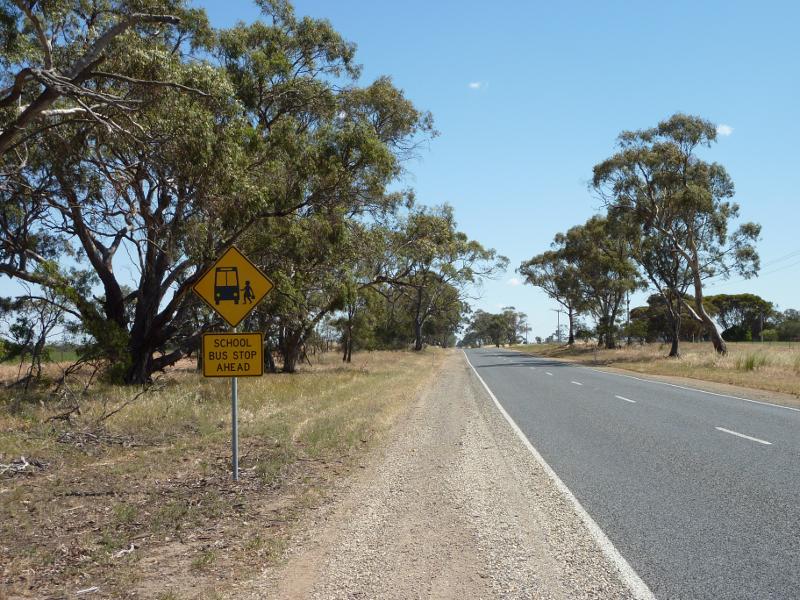 Henty Highway south side of Warracknabeal - View north along Henty Hwy, 2.5 km north of Ailsa Rd
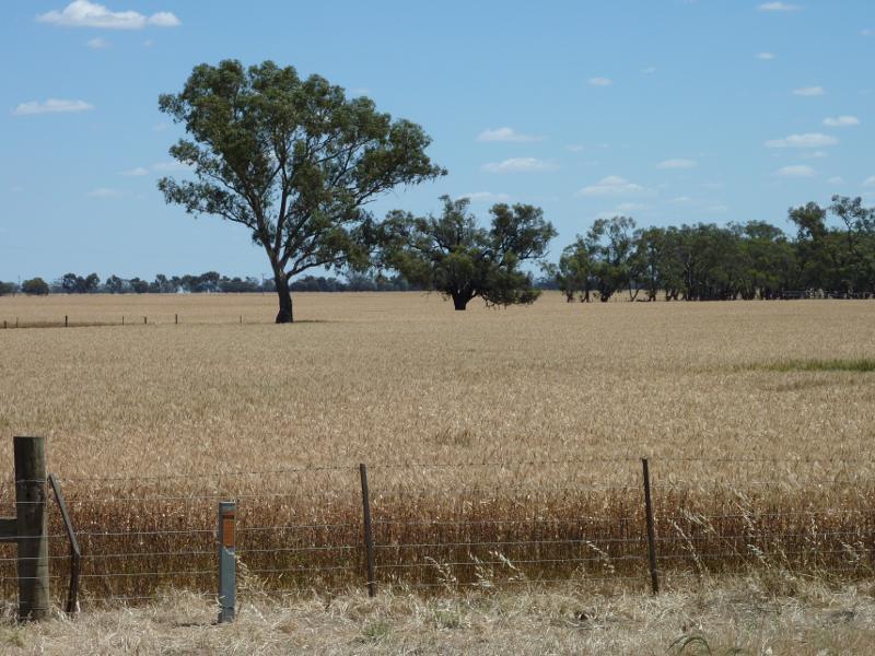
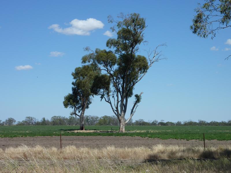 Henty Highway south side of Warracknabeal - Westerly view, 2.5 km north of Ailsa Rd
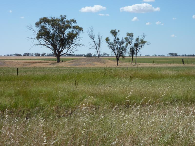 Henty Highway south side of Warracknabeal - Easterly view, 2.5 km north of Ailsa Rd
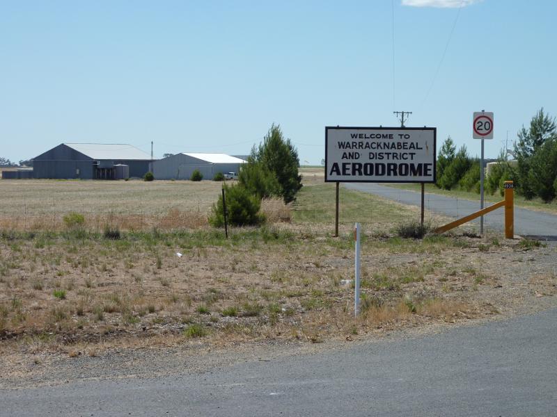 Henty Highway south side of Warracknabeal - Entrance to Warracknabeal Aerodrome
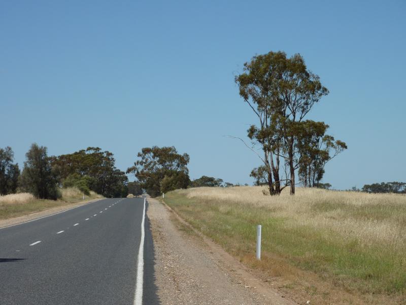 Henty Highway south side of Warracknabeal - View south along Henty Hwy at Warracknabeal Aerodrome