Barnawartha
Barnawartha
Stay
See and do
Food and drink
Shopping
Getting around
Visitor information
Barnawartha is a small town located between Chiltern and Wodonga in north-eastern Victoria.
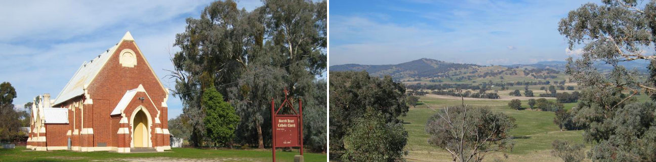
The commercial centre of Barnawartha is built around the junction of High Street and Havelock Street and includes several historical buildings including the Star Hotel, general store, town hall and post office. The Sacred Heart church was established in 1899 and situated across the road from the town's golf course.
The Indigo Creek Park, accessed via High Street, fronts the creek of the same name and includes picnic and BBQ shelters and a walking track.
A couple of interesting drives are worth taking in the area. Indigo Creek Road follows the creek of the same name south-easterly through the grazing land of the Indigo Valley, alongside the mountain ranges of the Chiltern - Mt Pilot National Park, and on to the outskirts of Yackandandah. For elevated views of Barnawartha's surrounding countryside, take a drive along the unsealed Oates Gap Road. The road rises and bends sharply as it straddles the mountain range which forms part of Mount Lady Franklin, offering commanding views from several vantage points.
To the north-west of Barnawartha are a large concentration of wineries which surround neighbouring Rutherglen, while a short drive north is the Murray River.