Beaumaris
Beaumaris
Stay
See and do
Food and drink
Shopping
Getting around
Visitor information
The bayside suburb of Beaumaris fronts the waters of Port Phillip, between Black Rock and Mentone.
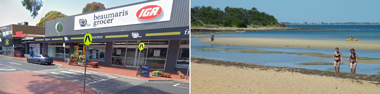
The main commercial hub of Beaumaris is the Concourse Shopping Centre which is located off Reserve Road. It consists of a supermarket and strips of shops along North, South and East Concourse. There's a central car park which adjoins a large shady reserve that fronts Reserve Road with lawns and picnic tables. Other smaller commercial centres can be found at the junction of Keys Street where it meets the coastal boulevard of Beach Road, and two local shopping strips along Balcombe Road.
Beaumaris situated on a headland that almost surrounds the entire suburb on three sides by water, with its southern extremities at Ricketts Point and Table Rock Point. A pedestrian and bicycle trail follows the entire length of the Beaumaris coastline, along the clifftops and beaches.
The section of coastline that extends from the west and down to Ricketts Point is the most popular with visitors. There is ample car parking, the iconic beachfront Ricketts Point Teahouse and shady lawns with picnic and BBQ facilities. The beach in this area consists of wide stretches of sand, with the shallow waters making it ideal for safe swimming. There are several rock platforms which extend out into the bay and form part of the Ricketts Point Marine Sanctuary. The Beaumaris Life Saving Club fronts a shallow sand bar just east of Ricketts Point, creating a safe and quiet area with a thick bush backdrop.
The coastline from Table Rock Point and eastwards, which overlooks Beaumaris Bay, mainly consists of cliffs with native bushland along their tops and scattered pockets of sand at their base. The Beaumaris Motor Yacht Squadron has it base along this section of the coast and the complex includes a function centre, jetty and boat ramp. At the northern tip of Beaumaris Bay, the coastal rocks give way to wide sandy beaches which stretch eastwards to Mentone.