Warragul
Warragul
Stay
See and do
Food and drink
Shopping
Getting around
Visitor information
Warragul is situated in West Gippsland, just over 100 kilometres south-east of Melbourne, and between Drouin and Yarragon.
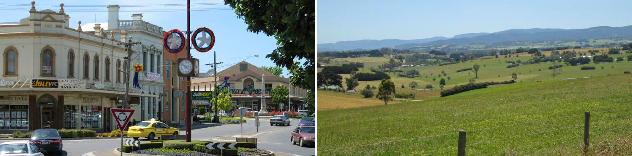
Warragul's large commercial centre stretches along the main thoroughfares of Victoria Street and Smith Street. Queen Street, which was the original route of the highway through town before it was bypassed, features historic buildings with grand facades including the old Shire Hall which now houses the Historical Society Museum and offers displays depicting local history.
A number of attractive gardens and parks are located in Warragul, with the most scenic being Civic Park. Situated in a valley, Civic Park features a large lake, rotunda, picnic shelters, walking tracks and a waterfall. Overlooking the park are the local government offices and the West Gippsland Arts Centre which is a popular venue for performance and visual arts.
Warragul is home to some of Victoria's richest agricultural land as well as being a major supplier of milk for Melbourne. A number of festivals and events are centred around the town's agricultural and dairying industry, including Farm World and Harvest of Gippsland.
The rolling green hills of the countryside surrounding Warragul can be appreciated with a scenic drive north along Brandy Creek Road. Following the road further north to Neerim South provides access to the Tarago Reservoir and surrounding park which offers a walking path along the bottom of the dam wall with picnic and BBQ facilities.
The Gourmet Deli Trail consists of a network of farms, vineyards and outlets selling local produce and smallgoods, and covers much of the area surrounding Warragul.